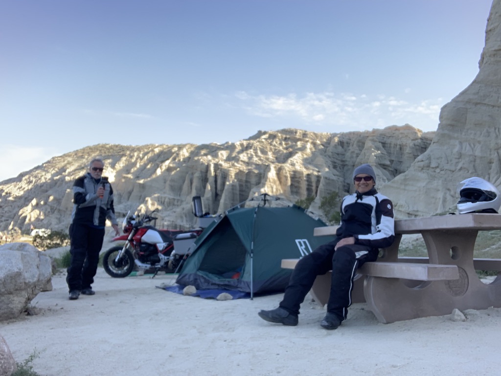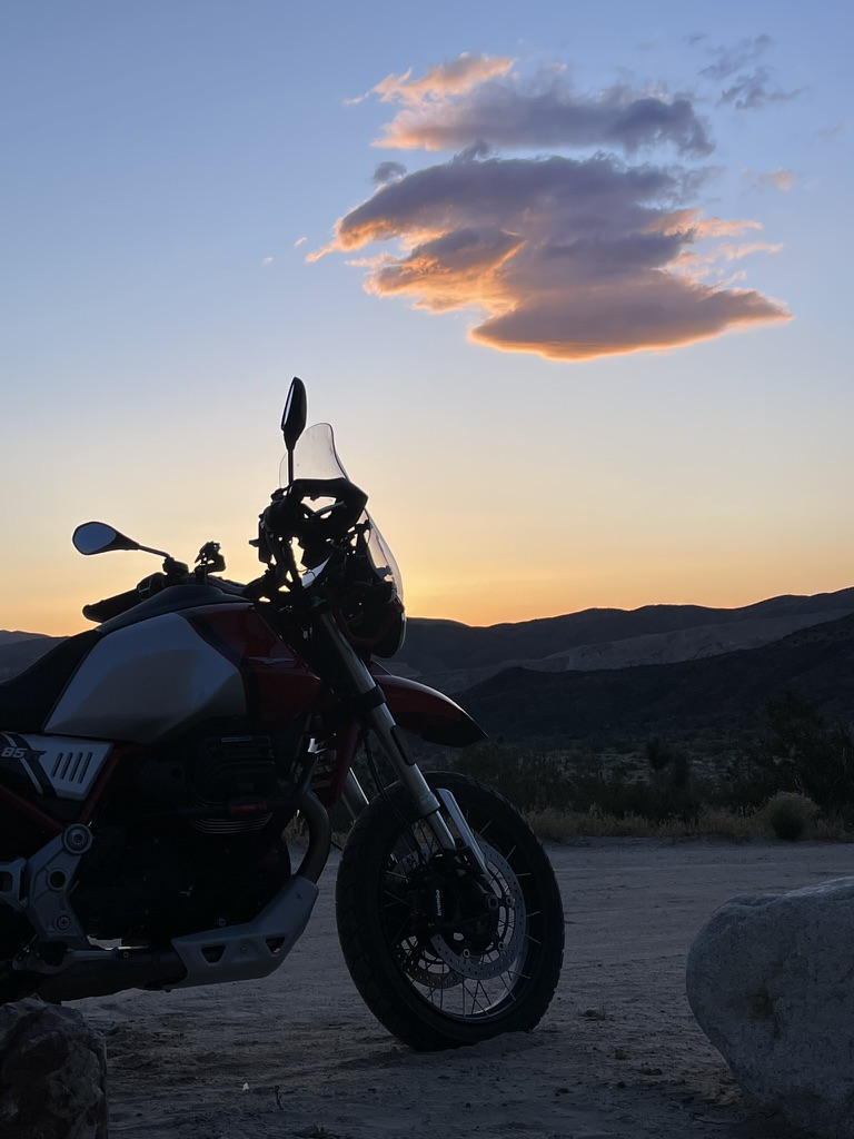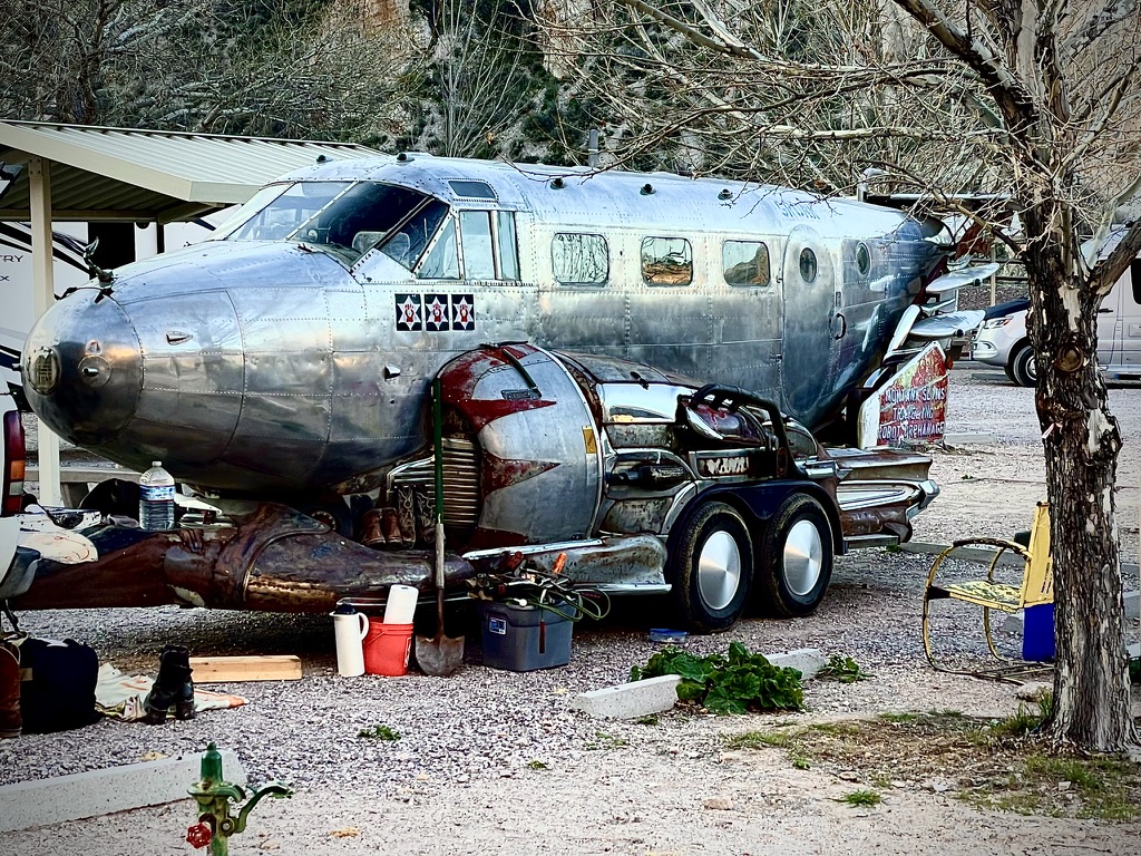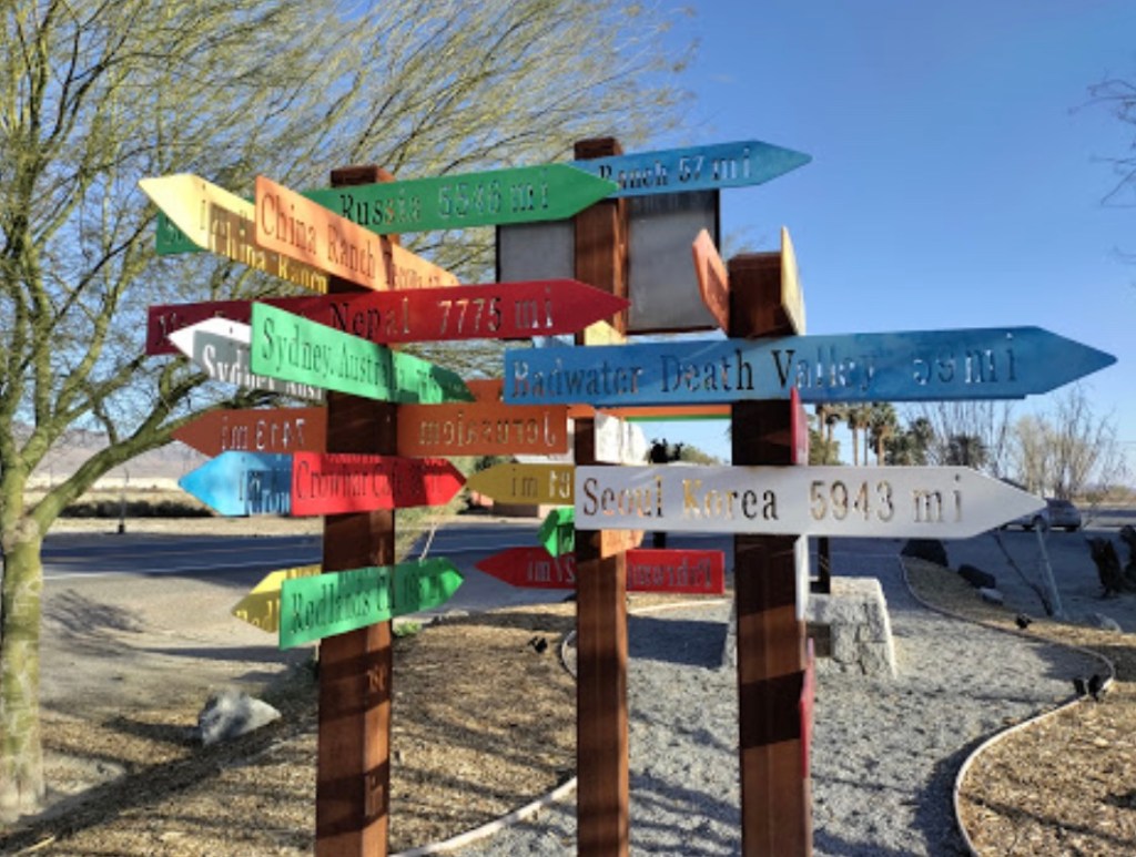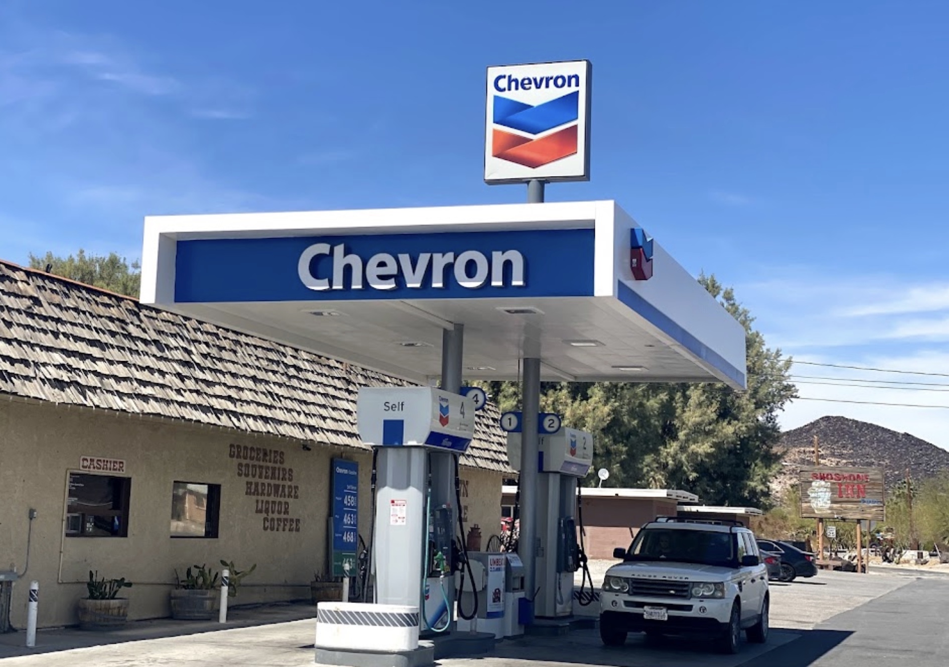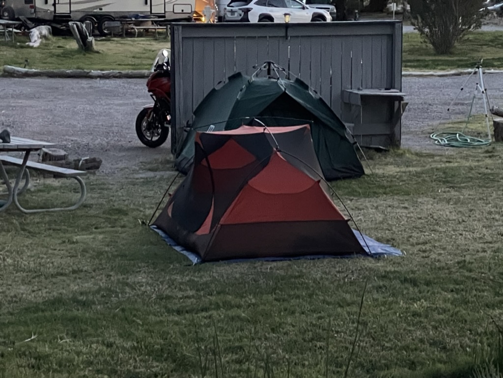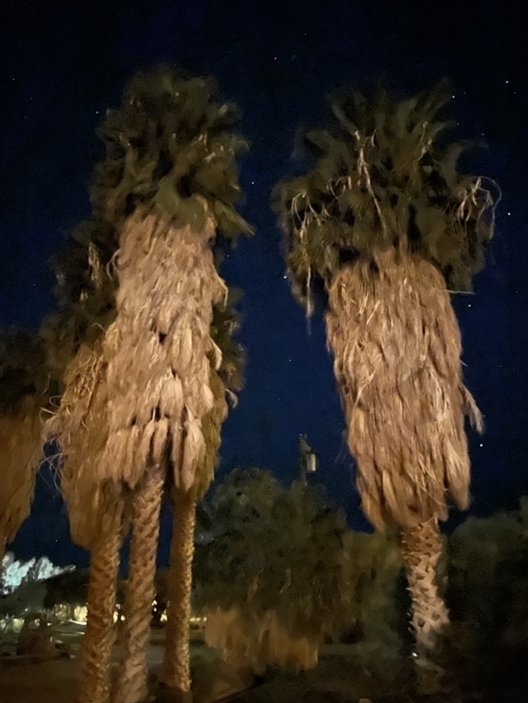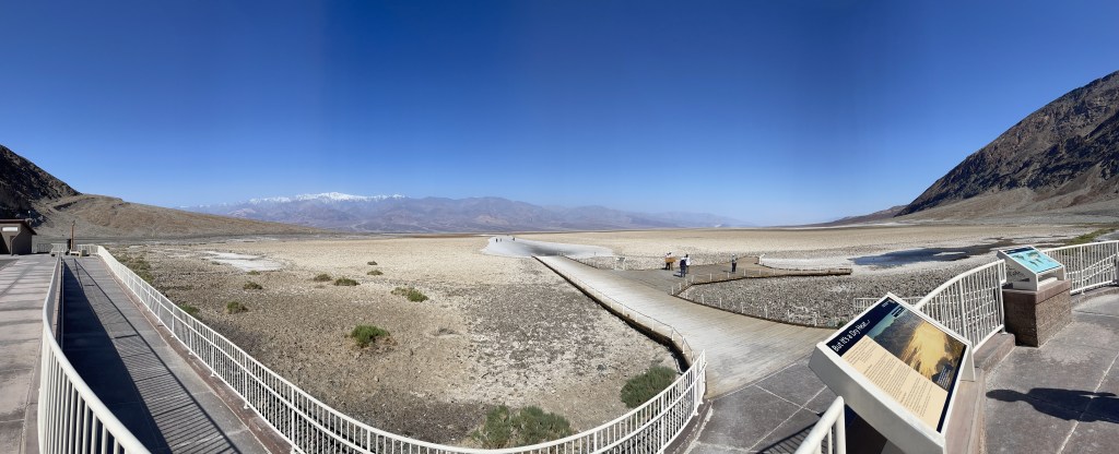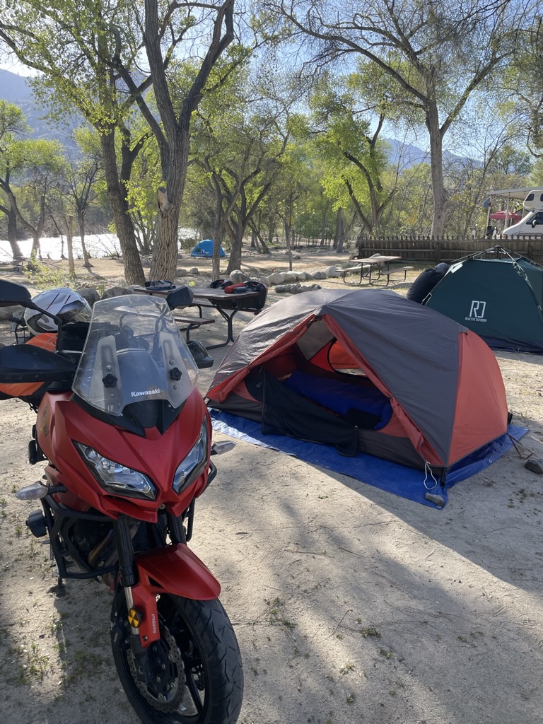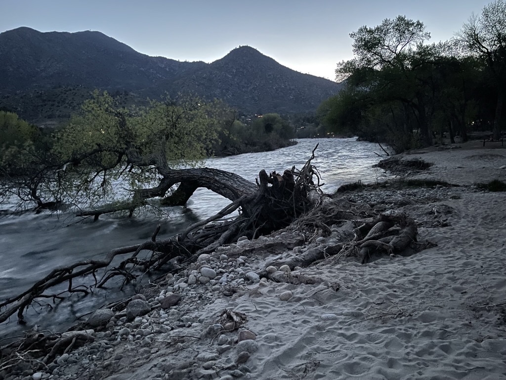
Epic Western Ramble

Ride Report


Days were getting longer, warmer, and closer to the solstice.  A northern route was proposed with an AI assist, one that I found useful, however inaccurate at times.  This route ended up disappearing from glitchy technology while on the ramble.  The paper map back-up also disappeared somewhere along the road from Vernal to Torrey Utah.  Somehow we managed to enjoy seven states (CA twice) in eight days without navigation or incident and I quietly celebrated my birthday…
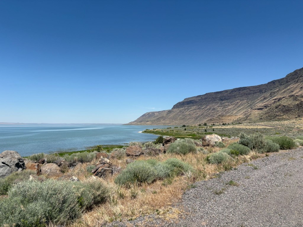
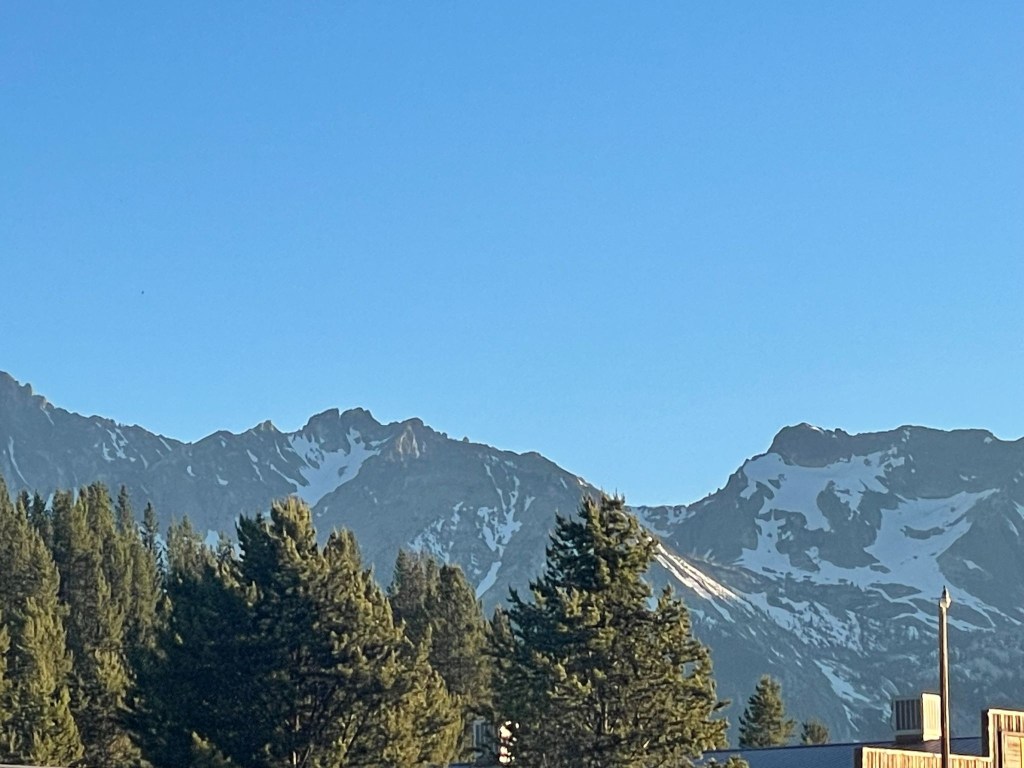
Albert Reservoir and the Albert Rim in Oregon
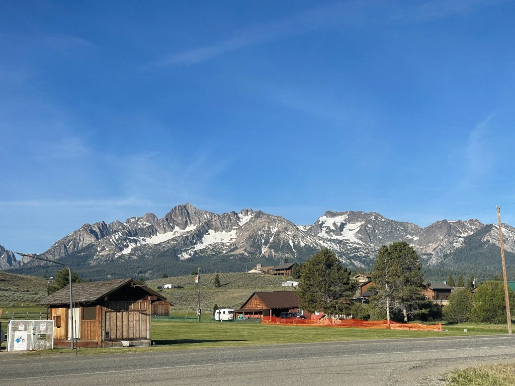
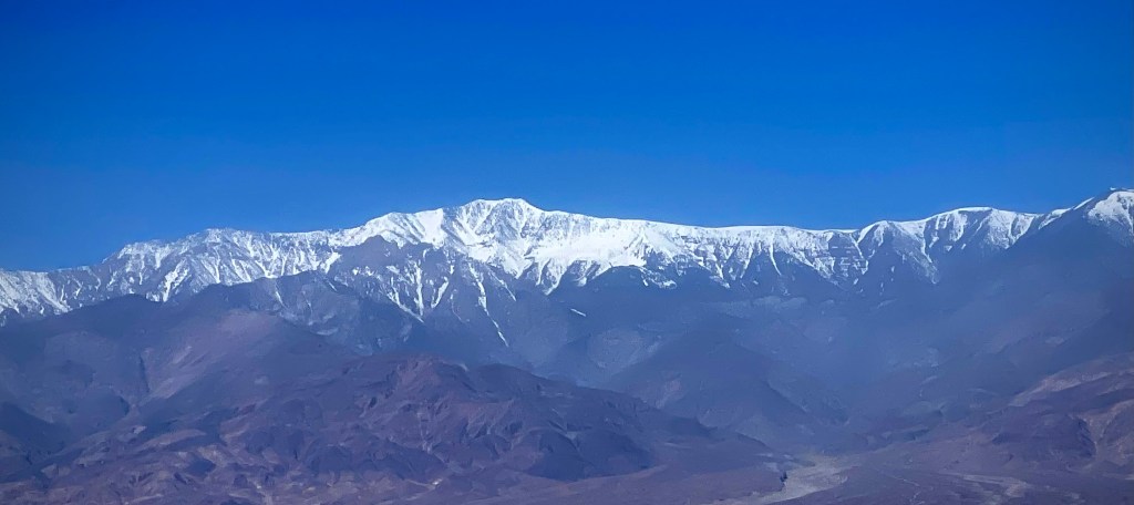
The Sawtooths from Stanley, ID
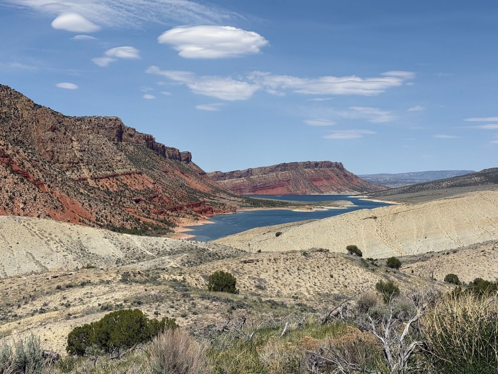
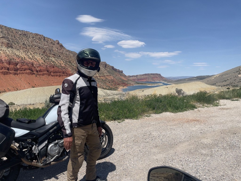
Flaming Gorge lake, UT
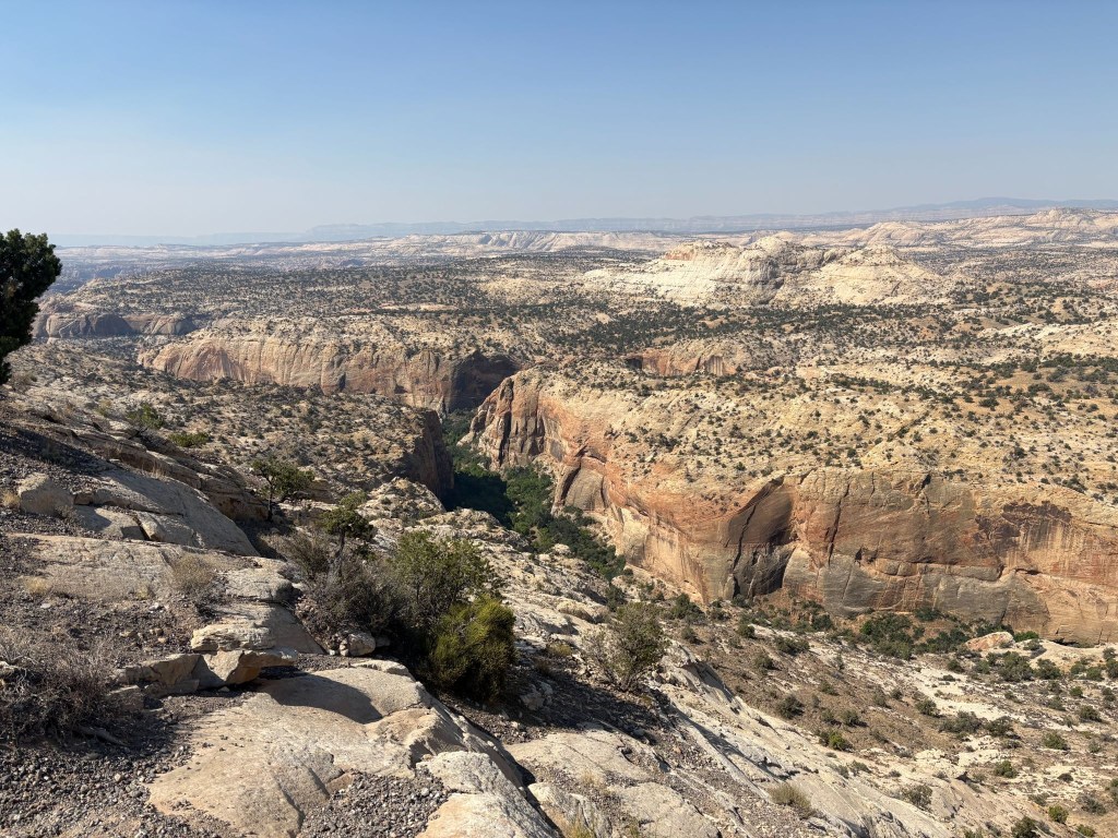
The Escalante, UT
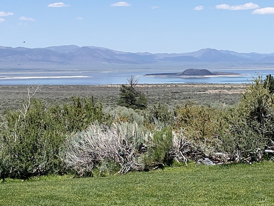
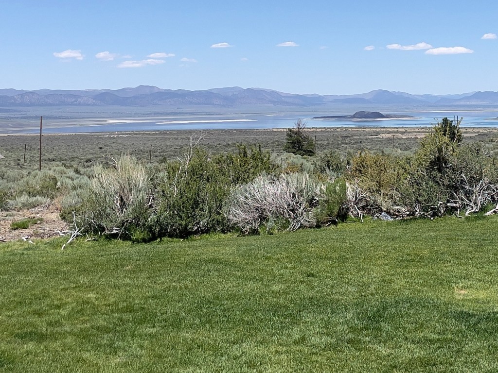
Mono Lake, CA

Per the usual trip highlights, we rode through amazing landscapes, quintessentially western and met interesting locals and travelers, who like ourselves, were curious about these iconic western locales.  And for at least three days, it was technology free rambling.  Cellular coverage is weak if not totally absent from many of these rural western locales.  Our Cardo comm devices defied spotty cellular coverage so we could at least converse about the scenery and whether the route resembled the plan.  Columbus didn’t need cellular coverage.  All he had to do was shout an order from the deck.  Though, he might have made it to India if he had…

Sisyphean Ramble Planning Criteria (SRPC)

Our “absolutes” when rambling include roads that follow the Butler Motorcycle Map descriptors:  

Butler Motorcycle routes are graded with descriptors such as G1, G2, and G3, where G1 indicates the best combination of twisty pavement and scenic views. Additionally, routes are marked for features like “Paved Mountain Trails,” which indicate roads with no center line and uncertain conditions or “Lost Highways” roads with faded center lines, crumbling shoulders, and long lonely miles, i.e., a “blast from the past” feel.

If you read the SRPC (Sisyphean Ramble Planning Criteria), framework in the preceding post, File this Under:  The Old Dog Learns a New Trick (A Cautionary Tale) the Butler grading system explanation reframes the AI conflict from “old man yells at chatbot” to an interesting navigation philosophy clash.  Especially in light of losing the digital “Drive” routing as Google Maps disappeared on the third day while on the bike.  As did my iTunes.  On more than one occasion, Google and Apple were yelled at, I might add, often in vain…

This presented one of the difficulties while planning in convincing AI that avoiding highways of the Interstate variety or freeways in populated areas would necessarily lengthen the day’s ride beyond another absolute, limiting 300+ mile days.  Since we were motelling this ramble, our preferred camping mileage of ~250 mile days, was suspended as setting up and breaking down camp has more moving parts than checking in and out of a motel.  And there are showers.  I used AI in selecting lodging for the first five days, on the recommendation to do so as the post-Memorial Day vacation fury was about to convulse.  Apparently motels, like campgrounds, aren’t the only place to seek refuge in an unfamiliar place that gets hoarded by anxious travelers on January 1. 

Bon Voyage

Day 1 – Monday, June 15

Merced to Susanville ~303 miles

CA-59/J59 → Jamestown → CA-49 → Angels Camp → CA-4 → Ebbitts Pass → Markleville → CA-89 → CA-88 → Minden, NV → US-395 Eastern Sierra → Carson City → Susanville → Diamond View Motel

Departing the Central Valley on CA-59 and stepping onto the historic J-59 foothill corridor, the journey climbed steadily into the rugged heart of California’s Gold Country.  The landscape traded flat farmland for rolling, oak-studded hills as we arrived in the historic hamlet of Jamestown.  Forget the pork, the historic chicken wing of Jamestown, home of the Chicken Ranch Casino.  

Joining the iconic CA-49, we wound north through the heart of the Mother Lode to Angels Camp, a town steeped in frontier frog lore and the Mark Twain Vrbo.  At Angels Camp, the route pivoted east onto CA-4, launching a dramatic ascent into the High Sierra.  The road narrowed to a “Paved Mountain Trail,” and twisted sharply as it conquered Ebbitts Pass, a breathtaking, white-knuckle alpine crossing that tops out over 8,700 feet amid granite crags and sweeping wilderness vistas.  Be sure not to miss a shift down to first gear, thus hitting neutral, on a 10 mph hairpin.  I speak of experience.

Descending the eastern slope, the highway brings you into the quiet mountain outpost of Markleeville.  Like most small mountain towns open all weekend, it was pretty much rolled up on a Monday morning.

SMAP enjoying a spot of Markleville’s shade as Sisyphus stretched his nalgas

From Markleeville, you pick up CA-89 and link up with CA-88, dropping out of the high alpine forest into the wide, sweeping ranch lands of Minden, Nevada.  Turning north onto the historic US-395 highway along the Eastern Sierra flank, the route passed straight through the heart of Carson City.  Cruising through Reno, the final, long northbound stretch carried us back across the California line and through the arid sagebrush plains of Lassen County.  

The SRPC motel criteria has evolved.  We prefer classic motor courts or motels.  They must, however, not be decrepit.  For instance, this is an example of a place that would be rejected by applying the SRPC:
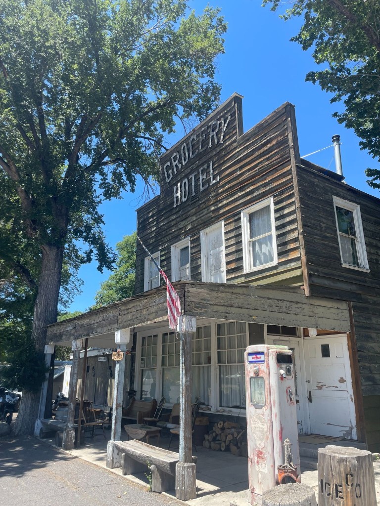
Sorry Doyel, we’ve got miles to go before we sleep

Not because it was a Hotel and not a Motel, not because the towels probably weren’t transparent, but because it was in Doyle, California a town decidedly not on the rise.  Towels notwithstanding, gas was a bargain at the Doyle Grocery Hotel where the red pump was retired long before the proprietor and long after it had lost its sheen.  Back on the bikes, some 42 miles short of our destination, we ultimately brought the day’s long ride to a close at the faded (and presumably lighted by a series of extension cords) marquee of Susanville’s Diamond View Motel.  
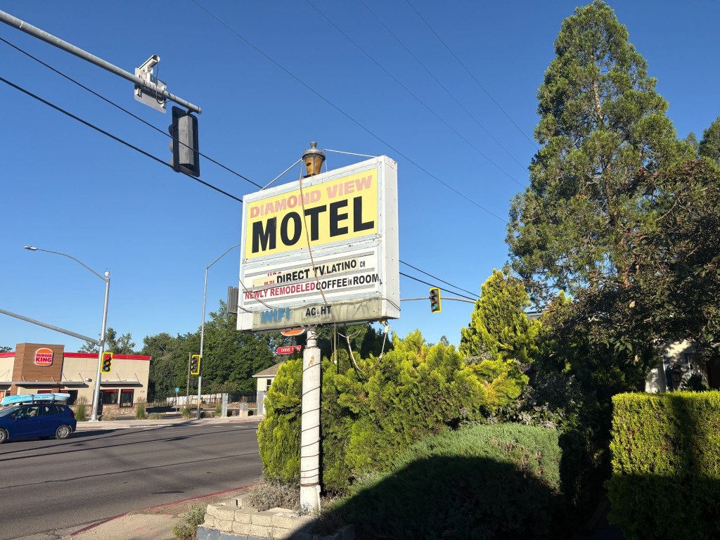
The sign sums it up

Just prior to departure, I decided it would be best to secure reservations for lodging for the first half of the trip.  I did so because Claude, my AI assistant, recommended confirming reservations as this was prime vacation season in the direction we were headed, particularly for moto-ramblers like ourselves.  However,  discovering that I had the wrong dates for each of the four reservations I had hastily made, rather than call back and rearrange and possibly lose a booking, I revised our departure date.  I did this without Claude’s assistance.
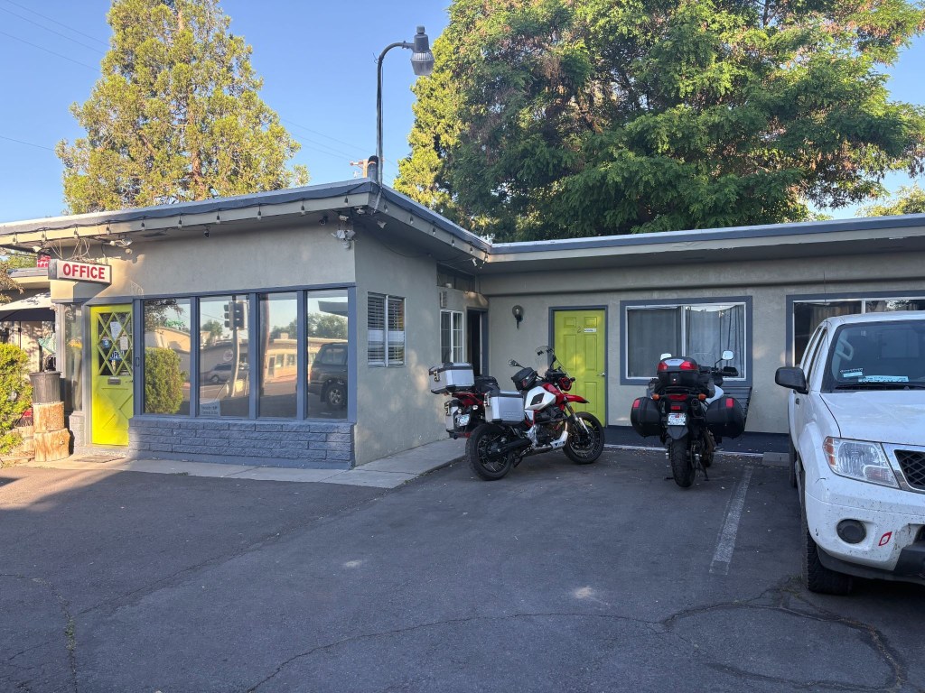
Susanville, CA rivals Chama, NM, long the gold standard of Sisyphean overnight stops

In making the reservation for the Diamond View with Ming, the sole proprietor of the place, on the Friday prior to our intended departure on Sunday, June 14, I accidentally booked the room for our first night on the road, Monday, June 15, my birthday.  Along with reservations for the Silver Spur Motel in Burns, OR, the Mountain Village Resort in Stanley, ID, the Swiss Mountain Motel in Thayne, WY, the Patriot Stay Motel in Vernal, UT and the Rim Rock Inn in Torrey, UT, all were subsequently a day off too.  So, rather than risk losing any of the aforementioned lodging, I simply rescheduled the departure.  I didn’t need Claude to figure that out either.

Ming sounded to be a nice, if somewhat, non-fluent English speaker over the phone.  Upon checking-in on our arrival I requested, politely with a touch of snark, the “presidential suite.” To which she mumbled in response, something like, “What a president?”  Her perplexed look, staccato English, and my embarrassing explanation that it was a joke concluded our only contact with her.  She retreated to the laundromat across the driveway, further mumbling, unimpressed by my sarcasm.  

Check-in now achieved, we unpacked and cranked up the room’s air conditioning. It was in the mid 90’s by mid-afternoon.  The air conditioning, noted on the marquee along with HT (heat?), worked fabulously.  I guess that was compensation for not having “coffee in room or WIFI”.  It all began to make sense.  The motel appeared to be populated by a group of “eccentric” folks of questionable sobriety and means.  The sheer number of security cameras attached to the office eves and the room decor explained everything.  Maybe Ming preferred viewing the motel’s parking lot tableaux to “Direct TV.Latino”.
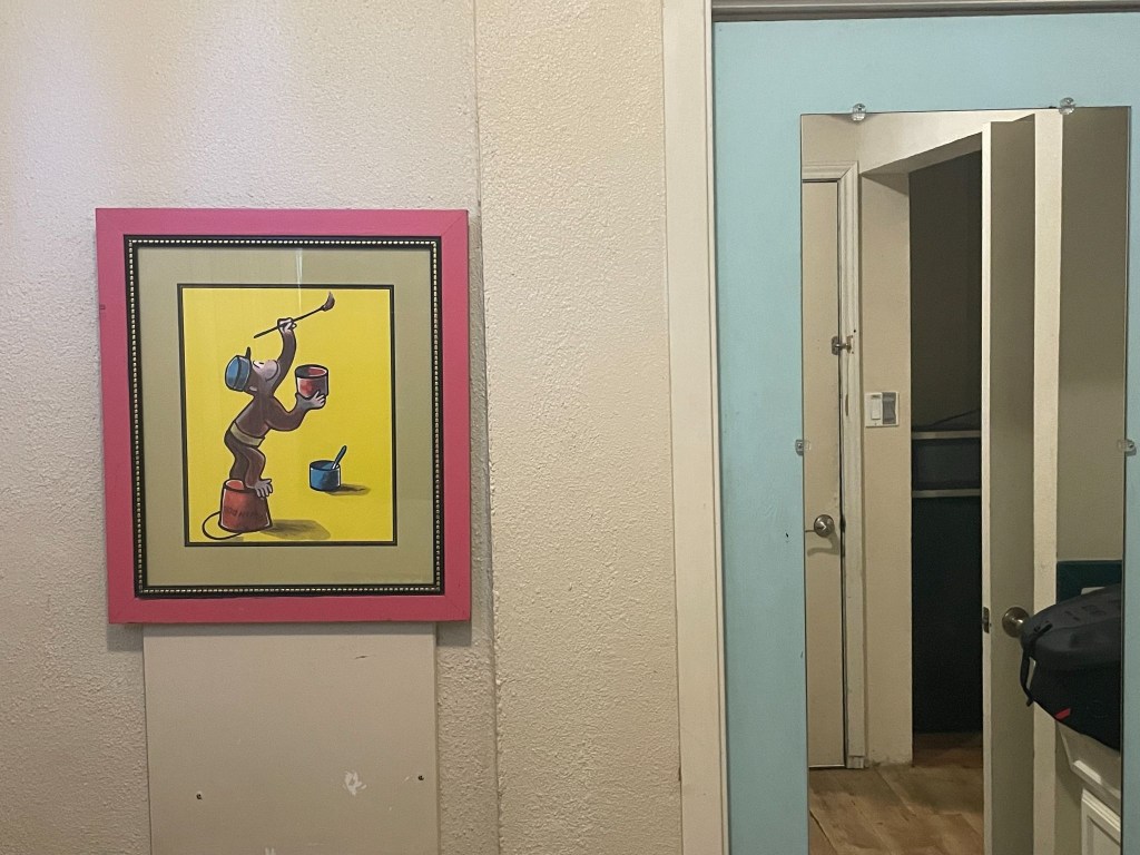
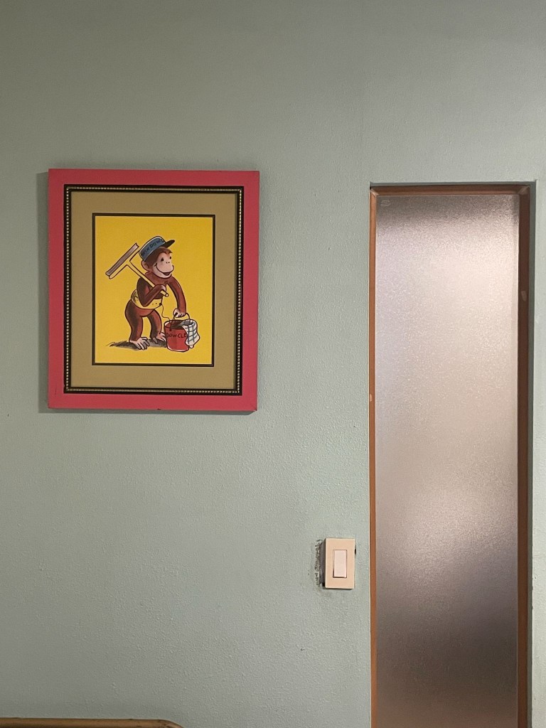
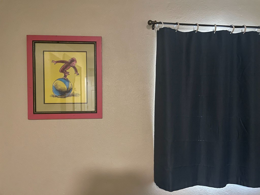
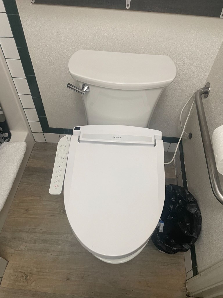
Room #1  was the “Curious George Suite” with a bidet

And Yes, Susanville, California is considered the definitive textbook definition of a “prison town”

Little did we know that local business owners, including multi-generational motel operators, openly state that their properties rely directly on business from families traveling across California to visit incarcerated relatives.  In spite of such transparency, Ming neglected mentioning when I arranged the reservation that The Sierra View was just such an establishment.  Our first impressions were confirmed when our immediate neighbor in room 2 emerged from her room as we rolled up.  She sat down, a woman who painted her toenails while chain smoking.  We later found her with two young children who appeared from the room.  This was likely an inmate’s family visiting.  In the spirit of Bill Maher, we didn’t know it was a fact, we just knew it was true.  

Since all of the rooms were Non-Smoking, we soon became familiar with mom and her family.  While putting the finishing touches on her toenails, her young son, maybe 10 years old, came up to me with a can of soda and invited me to, “See a great prank to pull on someone.”  Was I being set up? 

Pointing out that the tab of the can was intact, and by all appearances looked to be a full can of soda, he demonstrated the can was empty.  He did this by dropping the can to the ground to emphasize its emptiness.  Summoning empathetic amazement I asked how in the heck had he done it.  He explained, “I just pull the tab a little bit then supersuck the Sprite then I push the tab down.”  I wasn’t sure if this was the pre-dinner show — I probably owed him a tip.     

After dining next door at the Mazatlan Grill, we retreated to our camp chairs, as is our routine, outside of the room, to enjoy beverages procured from the gas station across from the motel à la the 3R’s:  rehydration, relaxation, and reflection on the day’s ride as well to gain some sense of the rhythms of Susanville as the sun was setting.
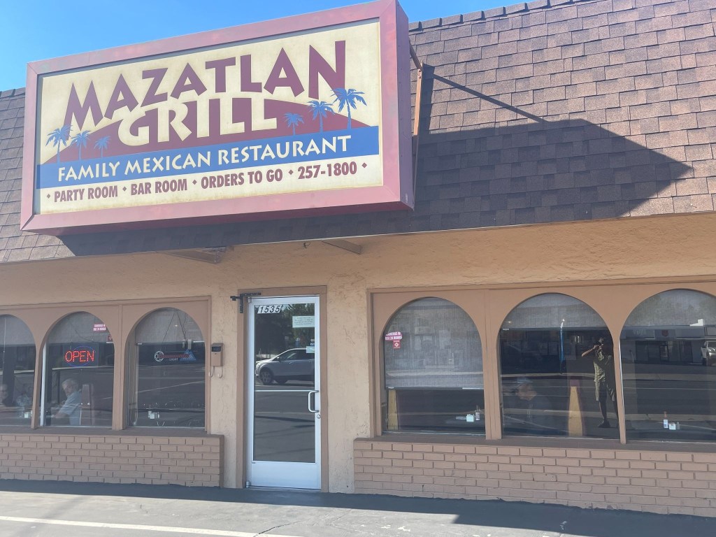
Sisyphus in reflection, literally, and SMAP (right) studying the menu as the guest (left) reflected, figuratively, on what I was doing

About that time a group of Latino laborers showed up in a pickup shouldering a 36 pack of Budweiser and other packages, likely take-out. They appeared to eye the parking space we had planted our bikes in that was likely theirs on nights when the only room, Room 1 not rented by the week or month, isn’t occupied.  They quietly retreated to the room attached to the motel’s office, presumably the proprietor, Ming’s residence.  Odd, thought we, but perhaps this was the nature of the Diamond View perfectly aligned with the rhythms of Susanville.  We then surmised that not all of the guests were inmate visitors.  We raised our beverages in salute to the working men and they quietly acknowledged our gesture.    

Pete, bilingual, later found out they lived in what was the motel office manager’s apartment, all five of them, and they spent their days in the mountains above Susanville harvesting pine cones.  Pine cones that are used in making wreaths, flower arrangements, and anything else requiring little pine cones.  Other guests at the motel wandered back and forth throughout the evening, joining them.  Perhaps they were little pine cone mules.  Perhaps that explains why Ming retreated to the laundromat across the parking lot.

It was an interesting community made up of folks who managed to endure what Sisyphus and SMAP take for granted:  secure in our intent to ramble, willing to risk some of that security in pursuit of a little sketchiness.  It all must have made interesting video alerts for the security cams:  Smokers, children doing magic tricks, laborers enjoying a 36er, and two blokes in camp chairs taking it all in.  One of the guests who appeared to be familiar with abusive substances commented that our little camp chairs would be ideal for using while fishing.  We didn’t leave them out that night. 
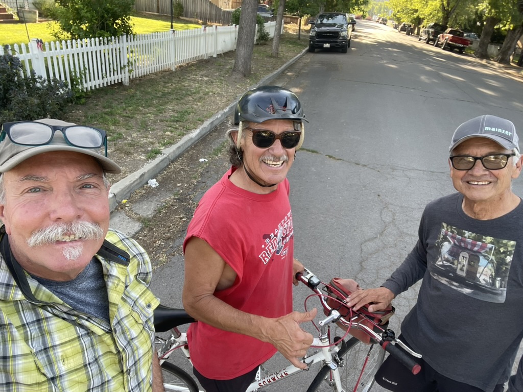
Day 2 – Tuesday, June 16

Susanville, CA to Burns, OR ~299 miles

CA-139 → Alturas → US-395 Oregon Outback (New Pine Creek → Lakeview → Wagontire → Riley)  → US-20 → Burns → Silver Spur Motel

California’s Loneliest Road

An early start guaranteed we’d be spared the afternoon heat.  Sort of.  SMAP suggested we depart from US-395 to make our way to a breakfast stop in Alturas taking CA-139.   This state highway 139 from Susanville to Alturas takes you through one of the most rugged, isolated, and untouched volcanic corridors in the American West.  Officially ranked by data analysts as California’s “loneliest road,” this two-lane highway averages fewer than 1,500 vehicles a day, carving a quiet path through vast high-desert basins and dense pine forests.  Perhaps where the pine cone harvest takes place.

Because CA-139 actually runs northwest toward Oregon, traveling from Susanville to Alturas requires driving CA-139 north to the town of Adin, then merging onto CA-299 east to complete the trip into Alturas.  The Susanville Climb & The Volcanic Rim  Ascent begins just east of Susanville, where CA-139 splits from CA-36. It immediately hits a steep, winding mountain grade as it climbs up the rugged slopes of Antelope Mountain.  This was a brilliant detour from the planned route.  SMAP recalled having taken this road in the opposite direction on a ramble a few years back.  Who needs Google maps when SMAP is on board.  If only Columbus had a SMAP on board the Santa Maria.  

The first 60 miles out of Susanville are notorious among truck and RV drivers for being exceptionally narrow and “skinny,” lacking shoulders or large breakdown lanes. It features continuous roller-coaster ups and downs.  As the road crests the rim, it descends into the spectacular Eagle Lake Basin. The highway skirts the eastern edge of Eagle Lake, California’s second-largest natural freshwater lake offering sweeping high-desert lake views and premier opportunities to spot nesting osprey and bald eagles.  We saw some mallards.
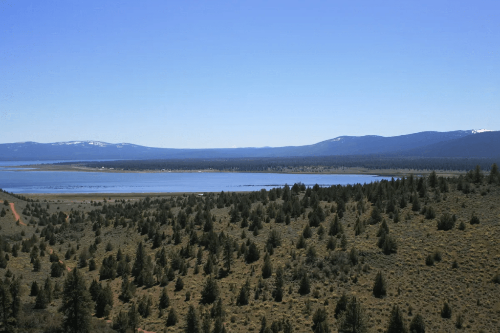
Eagle Lake visited a couple of times back when I attended Chico State

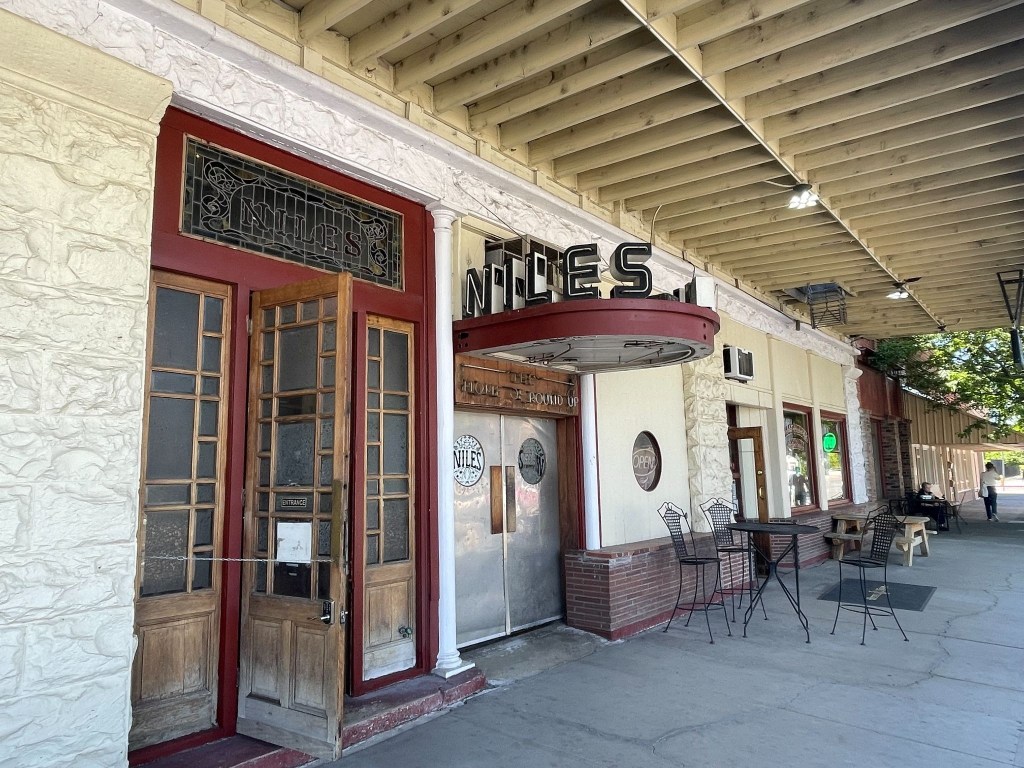
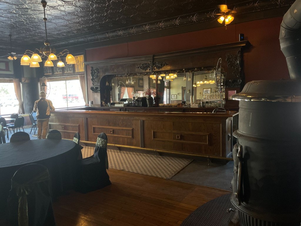
A breakfast stop at the historic Niles Hotel in Alturas punctuated the beautiful morning ramble up CA-139.   As with most rural small towns, this Tuesday morning was peaceful with an easy feeling.  We were tryin’ to take it easy.  (Hotel Niles isn’t the Hotel California)
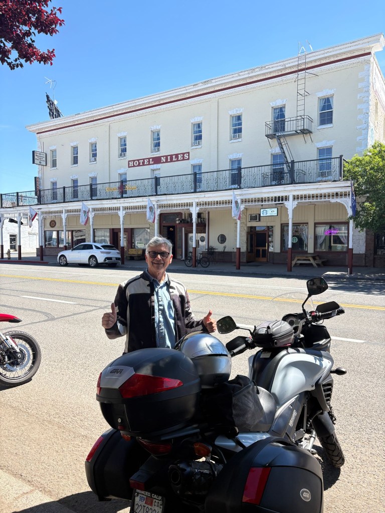
SMAP enjoying the peaceful easy feeling of the Niles (not California) Hotel in Alturas, CA

Heading north from the California border toward Burns, the landscape is defined by the Great Basin high desert.  The terrain is an open, desolate expanse of sagebrush plains, dry lake beds, and volcanic rims.  Landscapes we would be seeing throughout this ramble.
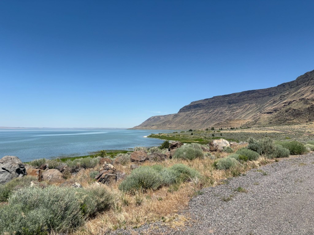
Lake Abert, not currently a dry lakebed, and the Abert Rim, currently an ancient lava flow

The Abert Rim is one of the most visually spectacular and geologically significant ancient lava formations in North America. Located right along US-395 south of the Valley Falls junction (on the southern approach toward Burns), it is not a fresh, black lava flow like Devils Garden a few miles up the road near Wagontire or Hell’s Half Acre or Craters of the Moon in Idaho, but rather a massive, 30-mile-long tilted block of ancient flood basalt layers that has been thrust thousands of feet into the air.  Oregon seems to have won the volcanic dunk competition. The Albert Rim makes the lava flow in our neighborhood from Dardanelle, near Sonora Pass, to the Stanislaus Table mountain, near Copperopolis, appear puny, a mere volcanic layup.  

At Valley Falls a brief stop for hydration at the Valley Falls Store afforded the opportunity to meet a couple, she on a Harley, and he on an Indian, who, by their own admission, were headed to Winnimucka-ish.  It wasn’t getting any cooler but they looked worthy of making the miles.  Apparently the Indian-Harley kerfuffle hadn’t soured their relationship.  The Lowdown Show by ADVrider

From here, you enter an incredibly isolated 140-mile stretch.  You will pass through the tiny outpost of Wagontire—famous for having a population of fewer than five people and this fellow…  
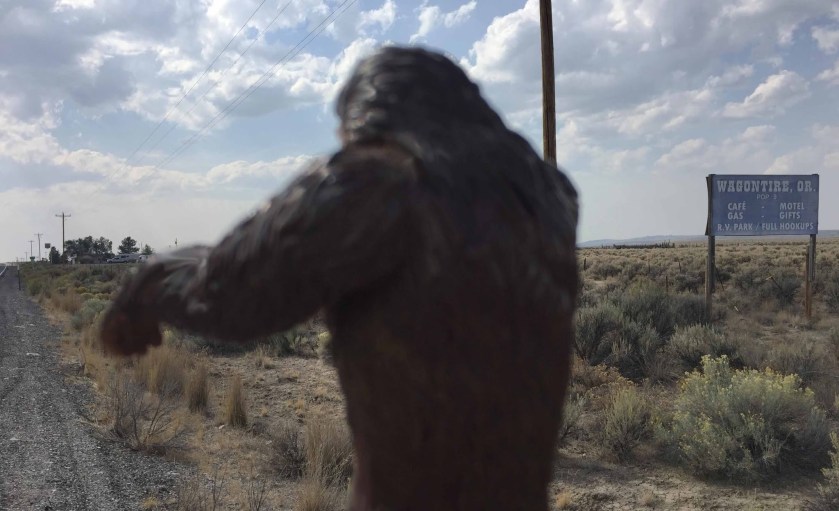
Sasquatch sighting in Wagontire!

US-395 is long, straight, and empty. You must watch out for “Open Range” signs, as cattle frequently wander onto the unfenced highway. Maybe at times, even other large hairy mammals.  At the tiny community of Riley, US-395 merges with US-20, turning east for the final hot flat stretch into Burns and our destination for the night, the Silver Spur Motel.

Dreaming Big In Burns

We checked in at the Silver Spur first by startling the attendant at the desk as I introduced myself, “Hi Marisa, I’m Sysiphus and you know why we’re here.”  It wasn’t a question.  It was declarative.  She was the person I had arranged for the room a few days prior.  I guess I didn’t make much of an impression in that initial phone conversation, by not declaring why we were there.  She replied, “Because you need a room?”  Snap, as young people used to say…

Moving along from my second lame conversation with a motel front desk person, I redirected,  commenting on the retro flagstone sign and mid-century modern low pitched roofline, attempting saving grace by striking up a conversation about the place.  She told us that a local rancher had purchased the motel and was in the process of restoring it to its lustrous past.  

After Marisa apologized for the in-process renovation I asked if said renovation had impacted air conditioning.  She replied that there wasn’t any.  Snap again!  She had two-upped me!!  We pretended to assure her that was not an issue.  She giggled admitting that I would stand with a slight lean as one leg had been pulled twice. She then recommended a walkable Mexican restaurant down the street and so we unpacked and made our way to El Toreo where we had a delicious chicken mole.   
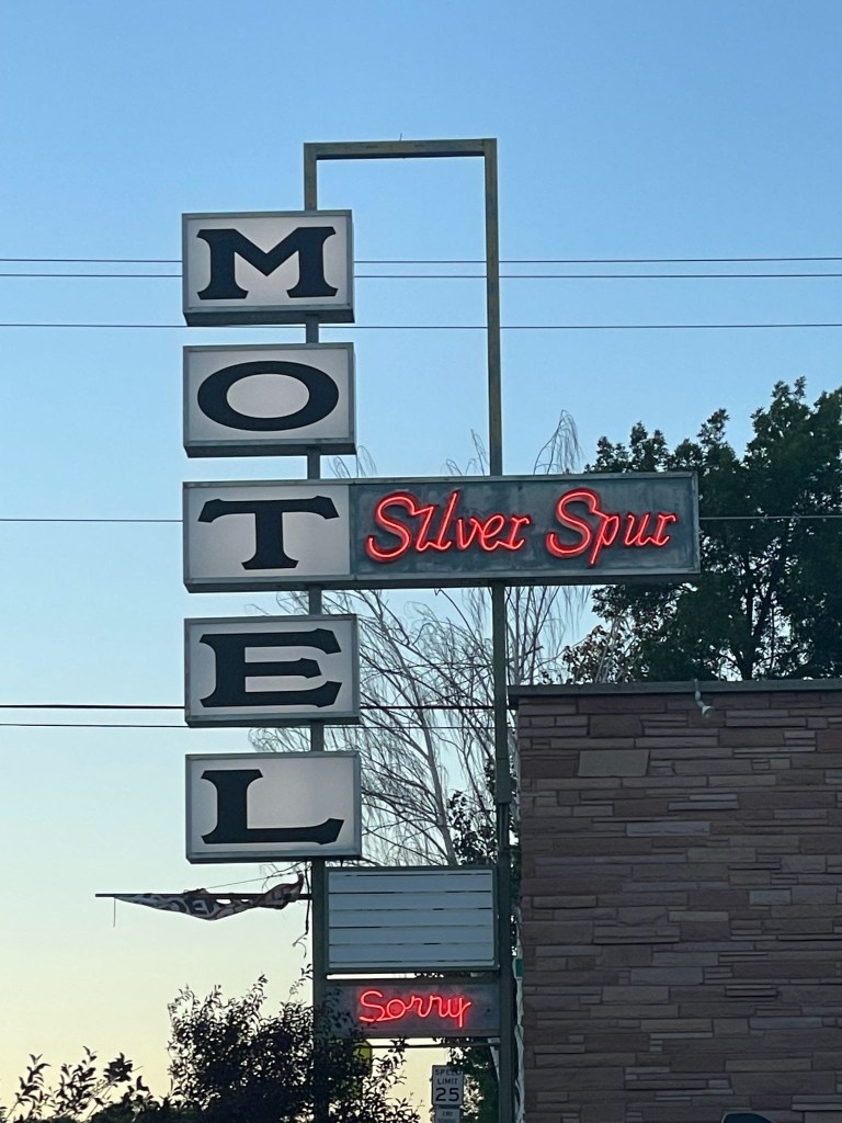
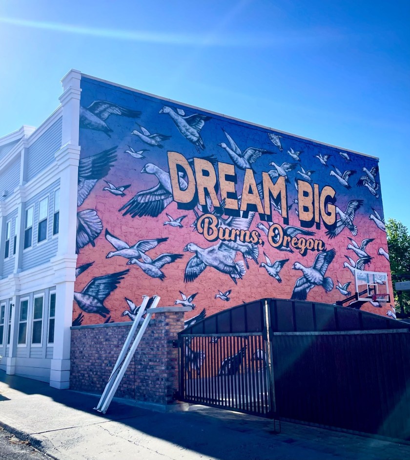
Early and Mid Century Dreaming Big in Burns Oregon!

We somehow managed to find a shop willing to sell us our customary beverages enjoyed while relaxing and rehydrating as we reflected on the day’s ramble.  The landscape through which we traveled this day was wide-open, with arid vistas of the Oregon High Desert and the northern limits of the Great Basin.  Thirsts needed quenching.

The evening concluded as the sun set and 3-R beverages were enjoyed while the day was revisited  It appeared the motel was full given the parking lot had no empty parking spaces.  Despite the sign, there was nothing to apologize for.  The Spur Motel was decidedly less “eccentric” than the previous night’s Diamond View stay.  At least Marisa understood my sometimes obscure sense of humor (and I hers) and the Mexican cuisine was better too. 

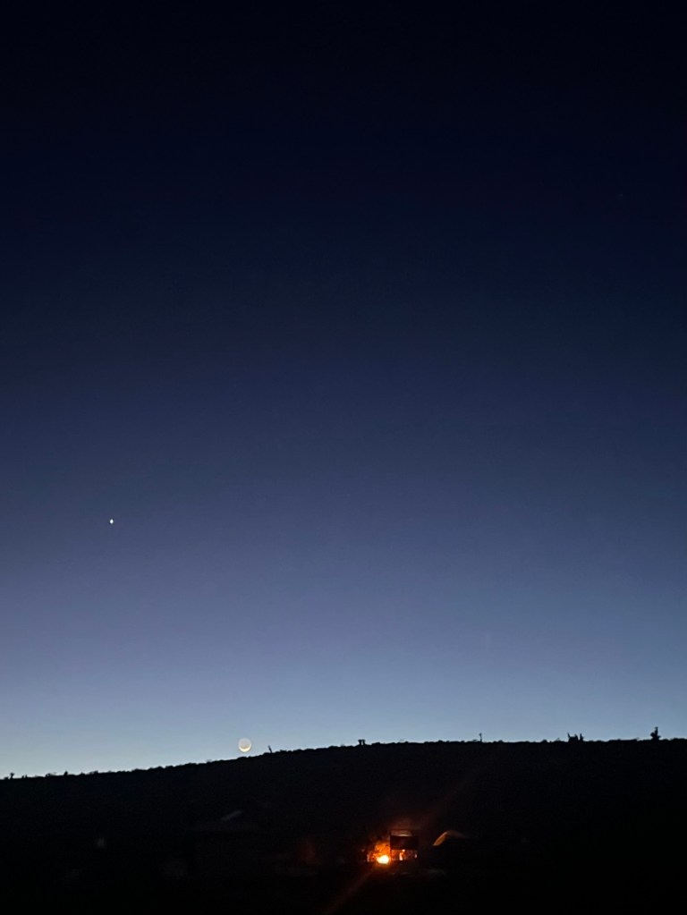
 A couple we met who roomed next door had been traveling for months across the US in their Subaru Outback.  They departed after dark to check out the night skies, just outside of town, away from the city lights.  The region boasts some of the clearest and darkest skies in the country, offering an unparalleled stargazing experience.  That reminded us of how much we missed the night skies usually reserved for camping.  A comfortable mattress and air conditioning eased our nostalgia as the waxing crescent moon, Jupiter, Saturn, and the Evening Star, Venus appeared over the horizon;  Mercury was too faint for our geezer vision.  
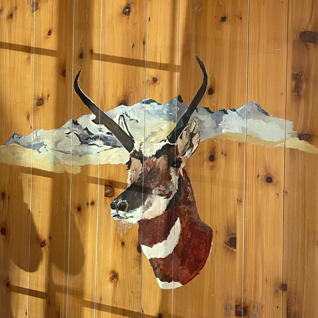
The Pronghorn Suite, with original pronghorn artwork painted on the wall above my bed, easy to see

Day 3 – Wednesday, June 17

Burns, OR to Stanley, ID ~286 miles

US-20 → Juntura →Vale → US-26 → OR-201 → Ontario, OR → US-30 → SW-18th St → SE-2nd St → US-30 → OR-72 → Hamilton Corner → OR-52 → along the Payette River → Horseshoe Bend → OR-55 → Banks Lowman Rd → over Grimes Pass → Lowman → ID-21 the Ponderosa Pine Scenic Rt → Stanley, ID → Mountain Village Resort

There’s More to Idaho than Potatoes

Leaving the high-desert hub of Burns, the route rolled east on US-20 through a vast landscape of sweeping sagebrush plains and dramatic rimrock cliffs.  The highway hugs the Malheur River canyon, passing the quiet outpost of Juntura before opening up into the ranching valley of Vale.  From there, a quick transition onto US-26 and OR-201 lead straight into Ontario, the final border town on Oregon’s eastern edge.

After navigating Ontario’s local grid via US-30, SW 18th, and SE 2nd streets, the journey crossed the state line into Idaho. Jumping onto OR-72 through Hamilton Corner and transitioning to ID-52, the terrain shifts dramatically. The road wound along the lower curves of the Payette River, trading the arid high desert for lush green riverbanks, whiteish-water rapids, and irrigated fruit orchards, alfalfa, and potato fields.  The route followed the river canyon to Horseshoe Bend (not the Utah one), briefly heading north on ID-55 to the rafting hotspot of Banks where some 31 years ago I along with several knuckleheads doused ourselves on a brutally hot bicycle ride across Idaho under the bridge over the Payette River. 

Here, the journey turned onto the twisting Banks-Lowman Road, taking a rugged backcountry detour over the historic, winding heights of Grimes Pass. But not before we encountered a delay.  A portable, variable message sign warned of a road block. It had been placed a quarter mile down from the actual road block, some 15 miles from where the one-way only route to Stanley intersects with ID-55 WHERE SUCH A SIGN SHOULD HAVE BEEN PLACED!  It was a Boise County project doing shoulder maintenance.  You’d think they would have thought about the signage placement.  Maybe they had…

We were the third group who had just missed the golden lunch hour transit window.  The electronic messaging sign indicated that the road was closed from 8:00 am till 12:00 pm.  It was open for one hour 12:00 till 1:00 pm then closed from 1:00 till 5:00 pm.  Of course, we arrived at 1:15 pm.  Besides the sign, virtually at the location of the road block, was obscured by being on a curve.  There was no way to read the closure schedule, even at legal speed.  We witnessed several vehicles that had to engage ABS to stop at the road block, apparently not seeing the signage either.  

Pete and I decided to kill time and return to a small village on the Payette River, Garden Valley, to get fuel and a snack for the final push into Stanley.  When we returned to the roadblock at 3:00 pm, several dozen cars, RV’s, and trucks were queued up awaiting the 5:00 pm opening.  We did the only sensible thing and headed to the front of the line.  We were certain of not inciting hostility since we would not hold up any traffic following us when the road did eventually open.  Several of the stranded motorists came forward to chat and use the small adjacent pull out for answering a matter of internal urgency in an unscheduled pit stop to water the sagebrush.
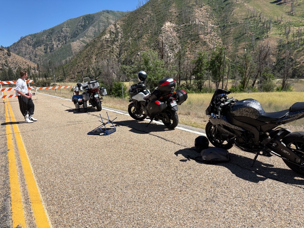
Donovan, our fellow stranded self-described, squid and my feeble shade structure

We met Donovan who rolled up after I had constructed a shade structure.  Since it was just after Father’s Day and Donovan was young enough to be my son (if I had a son in my mid 50’s),  I thought about my Dad and had one of those “Let’s compare our lives” conversations I often invented.  “So pops, what did you do when you were younger?”  He would say something like, “I survived the depression and WWII.”  I would reply, “I once built a shade structure.”  Feeble shade at that.

Donovan was a recent high school graduate from Boise who was headed to Stanley to join a group of friends for some summer fun at Redfish Lake  Since he had no plans to continue his education beyond graduation, he seemed excited to be heading towards and endless summer.

Donovan had just acquired his Kawasaki Ninja and his only protective gear was a helmet and the boots that came with the bike.  He was a nice kid and we shared lots of laughs about his being a jack Mormon, new to motorcycles, and the uncertainty of the friends he was ostensibly meeting at Redfish Lake, wearing nothing more than a tee shirt and sweatpants, boots and a helmet.  Fortunately for his sake, there would be no frost on our motos the next morning.

After several false starts over the next couple of hours as the crew doing the shoulder work one by one departed, a county Sheriff rolled through the roadblock.  He said he had ticked several impatient travelers who went around the roadblock.  That made sense.  It was a collaborative project involving county road maintenance and local law enforcement.  Maybe that’s how they paid for the road maintenance. It was likely the reason for the electronic message sign placement…

The last County Road Maintenance truck finally pulled up and retired the road blocks at precisely 5:00 pm.  From the preceding stream of worker’s vehicles, I’m sure they were done by 4:00 but the pickin’s for the Sheriff were too easy.   Donovan, SMAP, and I jumped on our bikes and headed up the road, only modestly in excess of the speed limit for we didn’t want to hold up the parade behind us, hoping there would be no automated message boards that we might miss before encountering another road block or a second Sheriff in waiting.  

Dropping down into the mountain pocket of Lowman, where in 1995 on that bicycle ramble mentioned earlier with that bunch of knuckleheads, there witnessed this shameful spectacle.
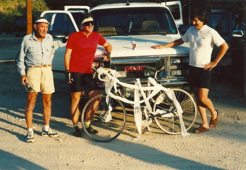
L to R, the perplexed investigator Don, Mike the victim, and Dale the violator

From Lowman, the route joins ID-21—the Ponderosa Pine Scenic Byway. This stunning road climbs deep into pure alpine wilderness, cresting the 7,056-foot Banner Summit before descending into the spectacular mountain basin of Stanley, where the jagged wall of the Sawtooth Mountains rises sharply behind the Mountain Village Resort.  We had lost contact with Donovan around Lowman, but saw him whip by as we were unpacking.  He must have stopped for fuel.  Hopefully not for a Sheriff.

The Rodeo Comes to Stanley
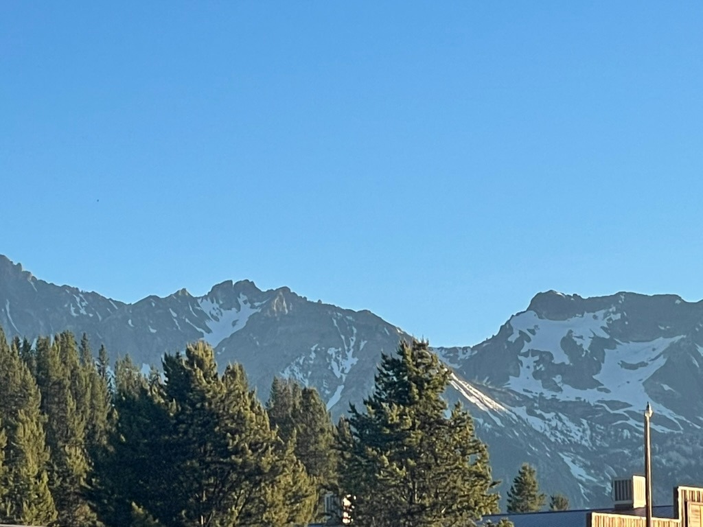
The Sawtooths (Sawteeth?)

Remembering the much more modest accommodations back in 1995 where the Knuckelheads spent the night stoked by the epic climb over Banner Summit and now inspired by a wee bit of California viticulture…

… it was rodeo time in Stanley, time to raise a glass to the past, and embrace the future.

Dino seemed to enjoy my spirited, back to the future arrival in Stanley 
Sadly, I departed with no buckle and my parents remain married in perpetuity
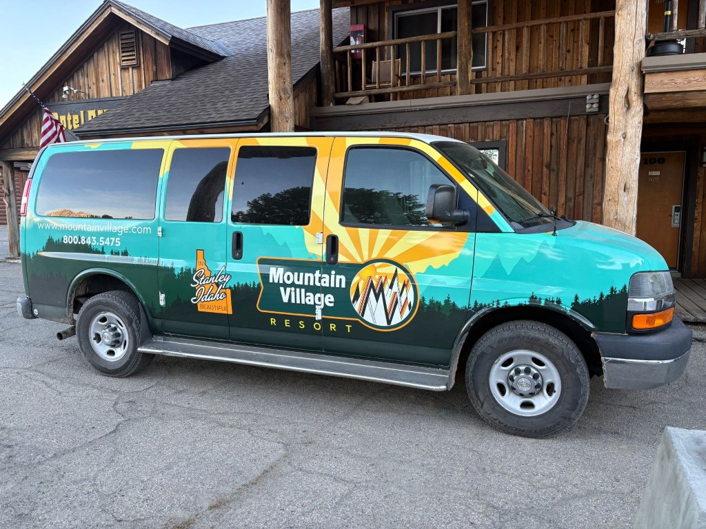
The Sawtooth Mountains in reality look nothing at all like their depiction on the van

The following morning was clear and coolish, not cold.  Several groups of motorcycles were traveling through Stanley mostly “adventure” types, with a smattering of Harley baaaaggggerrrrs.  Demographically, we pretty much fit the mold of the two-wheeled geezer “adventure” ramblers suited up in ATGATT resembling the Michelin Man.  Even the Harley guys had traded their leather vests for jackets. A couple with fringe.

The resort was also the launching point for multi-day raft tours of the Salmon River.  Given the volume of gear each rafter was hauling, I began to feel as though the additional 50 pounds of camping gear I could have brought wasn’t that much of a big deal.  Except it was.  

Day 4 – Thursday, June 18

Stanley, ID to Thayne, WY ~290 miles

ID-75 → Challis → US-93 → Arco → US-26 past the INL → US-20 → Idaho Falls → E-49 N → US-26 → along the Snake River and Palisades Reservoir → Alpine, WY → US-89 → Thayne, WY→ Swiss Mountain Motel and Lenny

The Salmon River Canyons to the Volcanic Desert

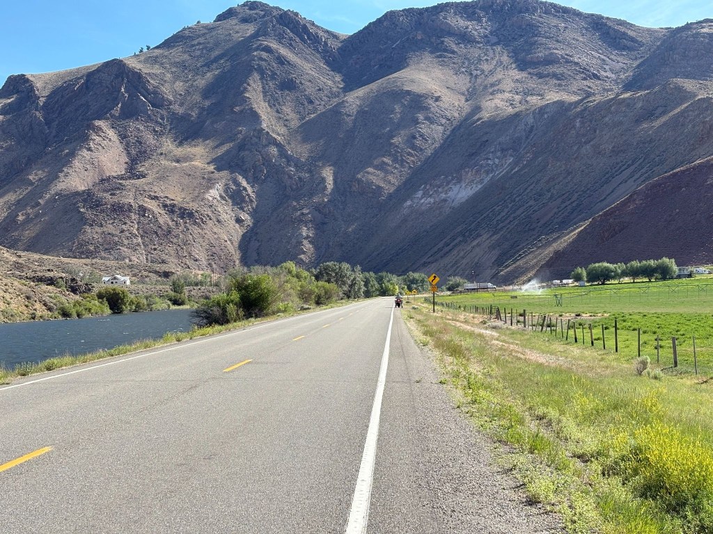
Our journey began on ID-75, carving northward through a dramatic, steep-sided canyon carved by the Salmon River. Several hot springs lie adjacent to the river.  The terrain here is highly vertical, defined by rocky cliffs and the towering peaks of the Salmon River Mountains. 
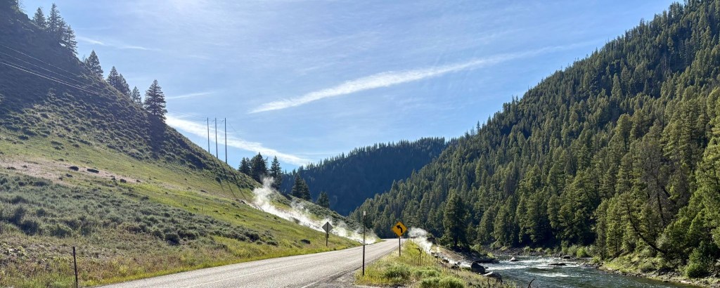
Sunbeam Hot Springs on the Salmon River
Salmon River Mountains and one of tens of thousands of acres of irrigated ag

As we reached Challis, the landscape began to fracture and turning southeast onto US-93, the narrow canyon abruptly opened into the sweeping, wide-open expanse of the Round Valley.  To your left and right, massive mountain walls hem you in, with Idaho’s highest peak, Mount Borah, dominating the eastern horizon.  Continuing south toward Arco, the rugged mountains begin to recede, flattening into the northern fringes of the Snake River Plain. 
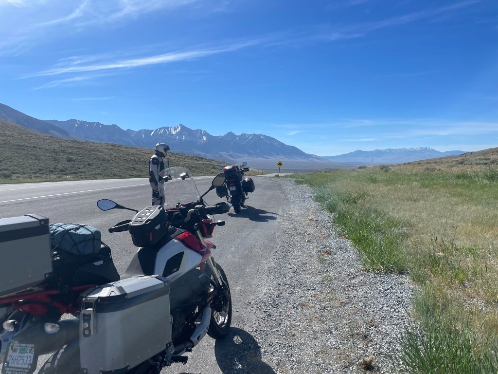
Willow Creek Summit with Mt. Borah in the background

Leaving Arco on US-26, the terrain transitions into an otherworldly, barren expanse as you roll directly past the Idaho National Laboratory (INL).  This segment is characterized by vast, flat sagebrush desert, underlain by ancient, black basalt lava flows that stretch out seamlessly toward the horizon.

What is now Idaho National Laboratory in southeastern Idaho began its life as a U.S. government artillery test range in the 1940s. Shortly after the Japanese attacked Pearl Harbor, the U.S. military needed a safe location for performing maintenance on the Navy’s most powerful turreted guns. The guns were brought in via rail to near Pocatello, Idaho, to be re-sleeved, rifled and tested.   As the Navy began to focus on post-World War II and Cold War threats, the types of projects worked on in the Idaho desert changed, too.  Perhaps the most well-known was the building of the prototype reactor for the world’s first nuclear-powered submarine, the USS Nautilus.  Form the kiosk display.
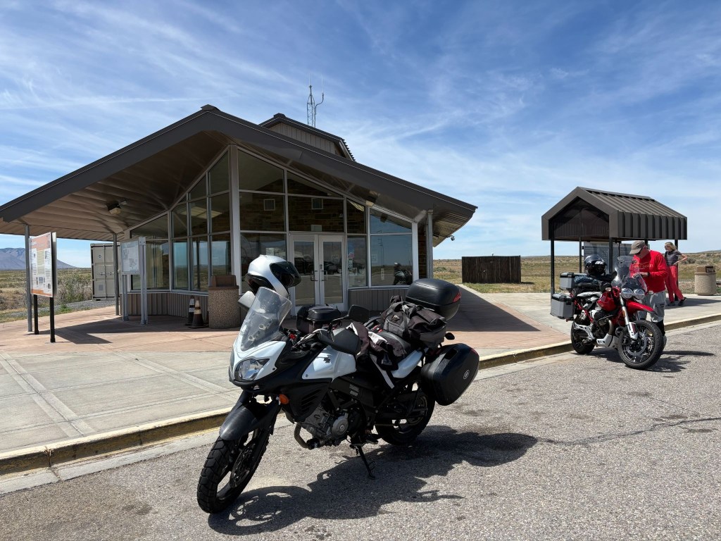
Idaho National Laboratory info kiosk, lavatory, and layer removal station
The perfect place to develop nuclear submarines

The Upper Snake River Plain

As US-26 merges into US-20, the road carried us straight into Idaho Falls, a bustling urban hub built over the roaring-ish waters of the Snake River.  Leaving the city, we transitioned onto E-49 N (locally known as the Bone Road or Hitchen Cemetery Road), rolling momentarily into rolling, agricultural benchlands.  These irrigated, high-elevation farmlands feature sweeping fields of grain and potatoes and an occasional antelope, undulating gently before dropping us back down to meet US-26 East.

The Caribou Mountains and Snake River Canyon

Heading east, the terrain transforms dramatically.  The flat plains vanish as US-26 enters the Snake River Canyon, tracking the path of the river as it cuts through the heavily forested Caribou Mountains.  By the way, we saw no caribou. The road huged the contours of the canyon floor, squeezed between rushing water and steep, pine-covered slopes.  Soon, the river widened and calmed, opening up into the spectacular Palisades Reservoir. For several miles, we rolled along a shelf carved into the mountainside, looking out over a massive, deep-blue body of water framed by timbered ridges.
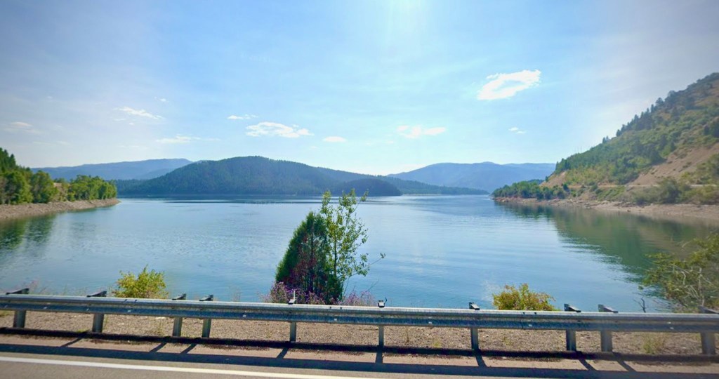
The Palisades Reservoir along the Snake River looking south  from US-26

The Star Valley Descent

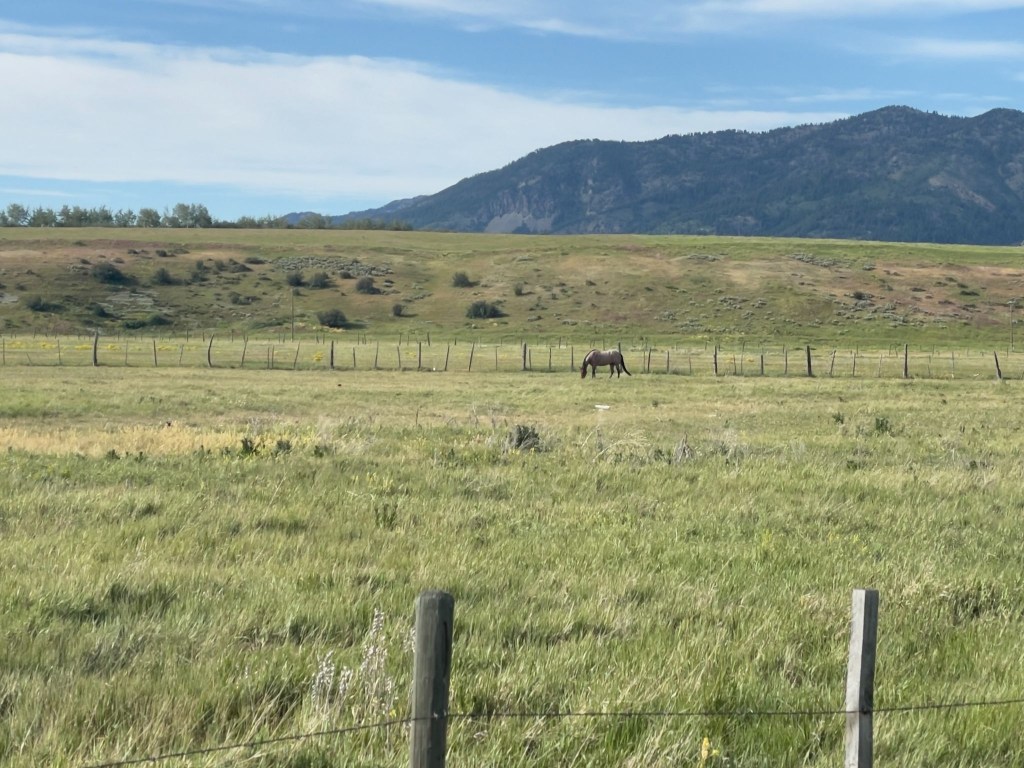
At the southern tip of the reservoir, we crossed the state line into Alpine, Wyoming, where the Snake, Greys, and Salt rivers all converge.  Picking up US-89 South, the canyon walls fall away entirely, revealing the pristine alpine floor of the Star Valley.  Known historically as “Little Switzerland” due to its lush green summer pastures and dairy farming heritage, the valley floor is wide, flat, and remarkably pastoral.
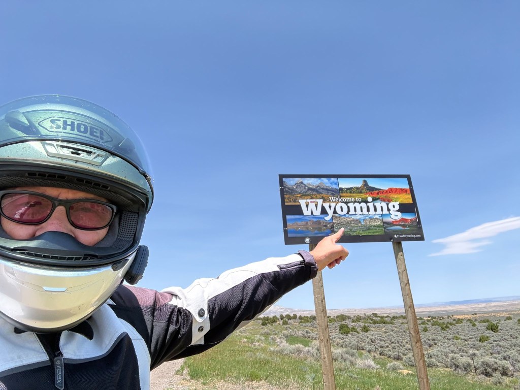
SMAP pointing out the obvious
Thayne, WY, aka Little Switzerland

We cruised south along the vibrant valley floor, flanked symmetrically by the dramatic crest of the Salt River Range to the east and the Caribou Range to the west. The terrain remained a smooth, scenic flatland all the way into the quiet town of Thayne.  On the north side of town, set against the backdrop of these towering green mountains, day four concluded at the vintage, ground-floor property of Lenny’s, Swiss Mountain Motel.

Our original plan was to stay in Jackson, WY that night. After contacting eleven motels in a 50 mile radius of Jackson, none of which had an available room, it was recommended that we try the Swiss Mountain in Thayne. “Remember that sometimes not getting what you want is a wonderful stroke of luck.” ~ Dalai Lama.
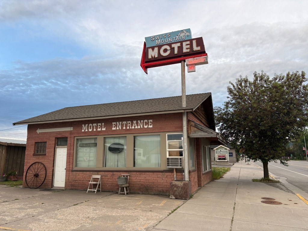
No Vacancy at the Swiss Mountain Motel in Thayne, WY, population 389

We’ve learned, having rambled through two dozen of these adventures, that the landscapes speak deeply to our appreciation of the natural beauty of the West — but it is invariably the folks we meet along the way who resonate long after the mountains, rivers, plains, and forests have blurred into one.  
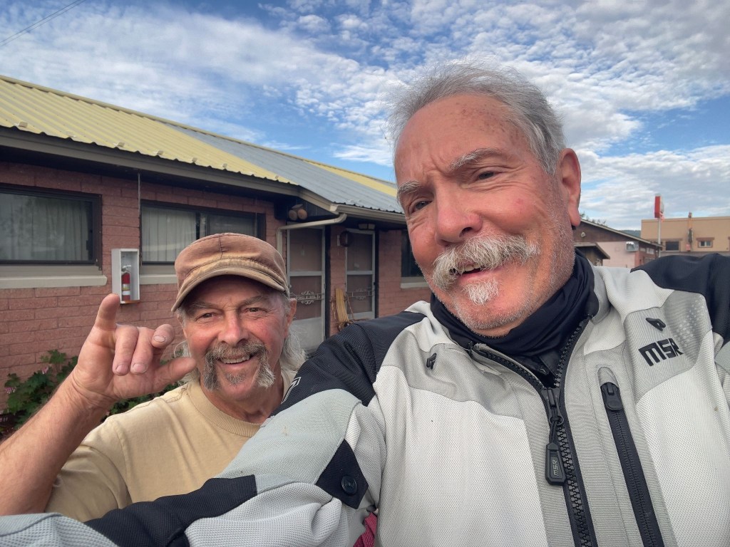
Lenny and Sisyphus neither of whom know where the lens is on the phone

The owner and operator of the Swiss Mountain Motel is Len Roman.  He originally purchased the vintage property in 1995 with his late wife, Cindy.  Following her passing in 2019, Len has continued to run the day-to-day operations. He’s the room servicing maid, the front desk attendant, gardener, and general maintenance man.   It’s a one man show. Unlike Ming, he didn’t retreat to the laundromat when I attempted humor.

He frequently interacts directly with guests as the primary host and property manager.  Lenny, as we came to know him, was a fellow biker.  Short in stature, tall in opinion, large in generosity, and plentifully, yet cordially sarcastic, Lenny is my kind of motellier. 
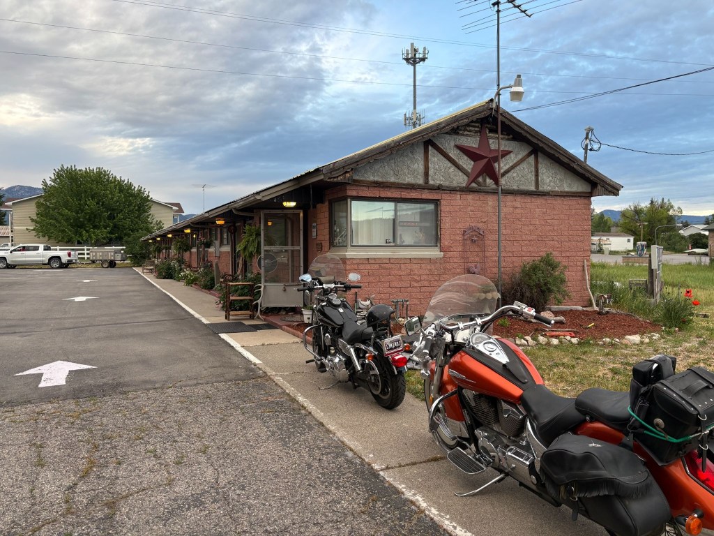
Lenny’s pride and joy, a Honda VTX and a Harley V-Rod low rider, and the Swiss Mountain Motel

Besides being an affable host, Lenny had something of a snarky vein too.  Not much slack was cut for the pretension of a Moto Guzzi.  After losing the ATGATT and donning my yellow plaid button up shirt and khaki shorts, Len stops me and points north saying, “That’s the way to the golf course…”   I later convinced him of my authenticity as a khaki shorted moto-rambler, in a yellow plaid button up shirt, beer drinker by lifting my pinky as I brought the can to my lips.  
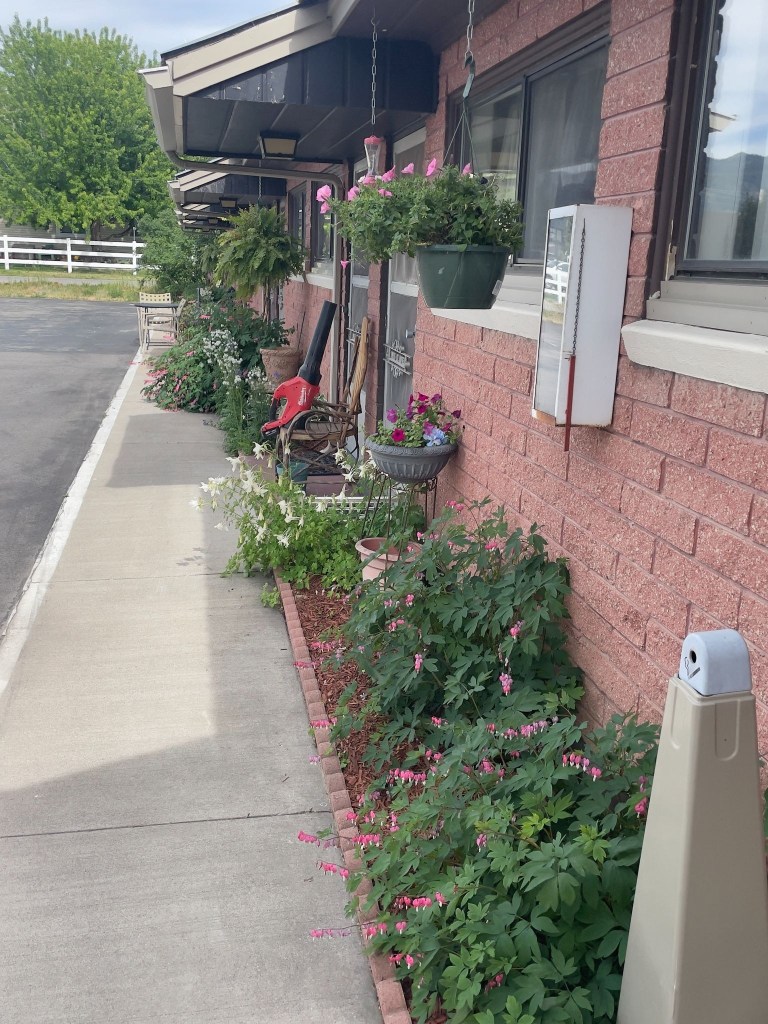
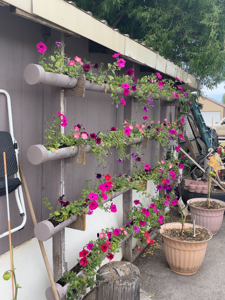
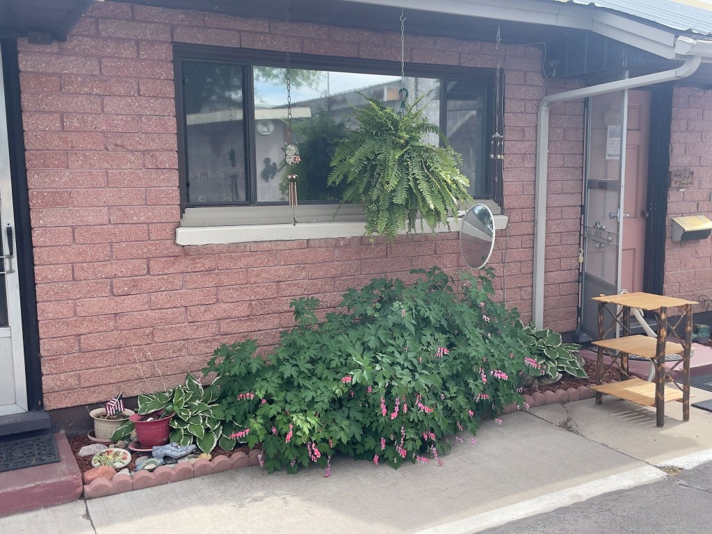
Lenny’s Swiss Mountain Gardens

Lenny is also something of a collector on the verge of being a hoarder.  He operates The Salt River Trading Post as he tends to his motel garden of bleeding hearts, petunias, hostas, and columbine with obvious care, then runs a floor-to-ceiling emporium of organized chaos open by appointment only.  The garden says curator.  The Trading Post says accumulator. Lenny himself seems somewhere in between.  
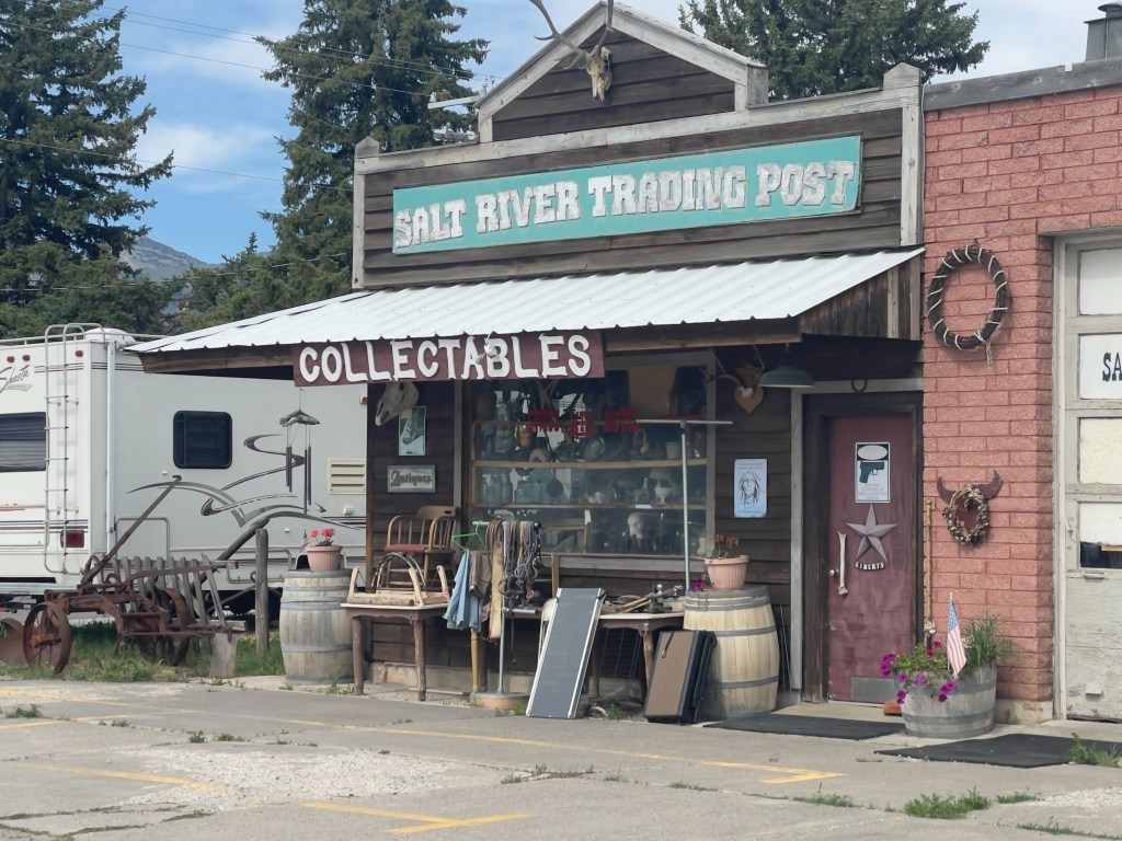
One man’s collectables is another man’s objets d’art

In researching background, I found a scathing review of the Trading Post that was posted on the local Chamber of Commerce website back in 2022:  

So junky most items cannot be easily seen or viewed. The owner does not deal on prices at all even though by his own admission he’s not been open due to family illness.  His things are overpriced for condition and he talks to customers like they know nothing even when it is clear from conversation that they do. Take home-junky overpriced and impossible to navigate to see anything.  Stop to look but don’t expect decent prices.  He’s selling to tourists.

The Chamber review was written by someone who, besides having grammar issues, wanted to buy something and couldn’t, or wouldn’t at Lenny’s price. That’s a transaction that failed. Their Lenny is a difficult vendor with inflated prices and a chaotic inventory.   Every complaint is probably accurate.  I personally found the collection to be worthy of awe.  Now my wife would have made some disparaging comparison to our garage.  IMHO, ours is a garage filled with objets d’art.

Our Lenny is someone we weren’t trying to buy anything from.  We were just two road-worn bikers who passed the pinky test and got the private tour. That Lenny — the one who tends bleeding hearts outside every room door, who knows exactly where the 1957 Hamm’s Beer sign is buried under the Roy Rogers lunch pails and the taxidermied badger and changes sheets and towels — that Lenny is a genuine eccentric, not a shyster.

A hoarder thinks everything is precious; a collector knows why everything is precious.  Lenny sounds to me like the latter.  It takes one to know one, eh?  He talks to customers like they know nothing because, in his estimation, they usually don’t — and he’s probably right about his inventory if wrong about his bedside manner.  (I hope my wife doesn’t read this…)
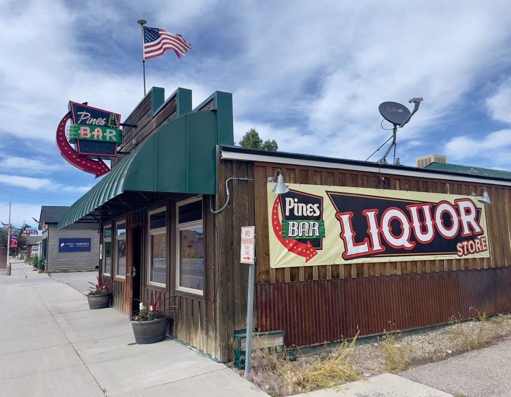
Wyoming has interesting rules regarding 3R’s beverages

The Pines Bar is the only place in Thayne that one could procure 3R’s beverages that could be taken out.  So, we sampled the merchandise before entering the beer cave to procure our rehydration, relaxation, and reflection selection for the evening.

😋

The barkeep, Liz, upon learning we were staying at the Swiss Mountain, asked us to remind Lenny that he needed to come by and get a smoothie (upper right above).  In fact she then asked if we would take him one, on the house.  That tells you a lot about the good folks in Thayne, looking after one another.  We dropped off the smoothie and Lenny, in fine curmudgeonly fashion, expressed his gratitude by complaining that it wasn’t his favorite berry, but coconut… 

Both Liz and Lenny recommended Dad’s Bar and Steakhouse for dinner, right across US-89 from the motel.  Each recommended getting in early as the place fills up pretty quickly around the dinner hour.  
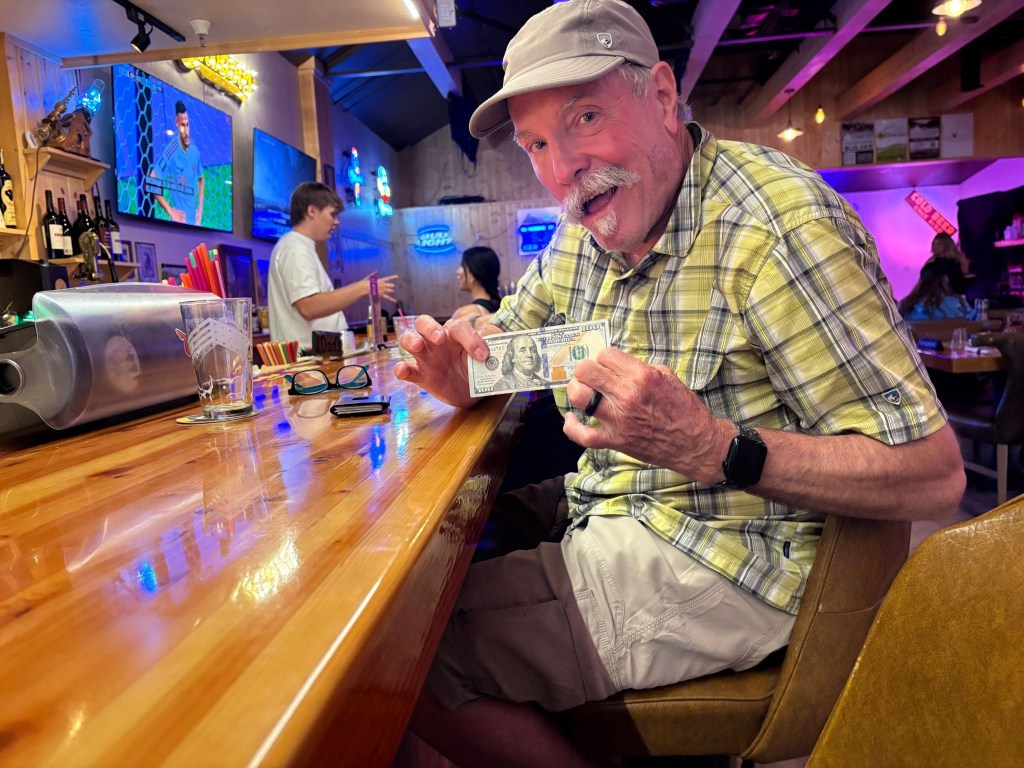
Khaki shorts, yellow plaid shirt, and Big Buddy Ben

SMAP had a burger and I had a Lil’ Buddy prime rib sammy from the bar menu.  Even though I was flashing a Benjamin, we opted for the modestly priced bar menu rather than the full on steakhouse menu.  One doesn’t exactly burn a full measure of calories sitting on a motorcycle all day.  Dad’s bar menu was also recommended by Lenny.  

Our dinner mates at the bar were a fellow and his wife who had sold their property in Sonoma, CA, purchased a large motorhome and trailered their Kawasexy Vulcan bagger around using it to visit sites of interest in the vicinity of their chosen RV park for the day, week, or month.  They too had chosen Thayne rather than Jackson for reasons similar to ours. 
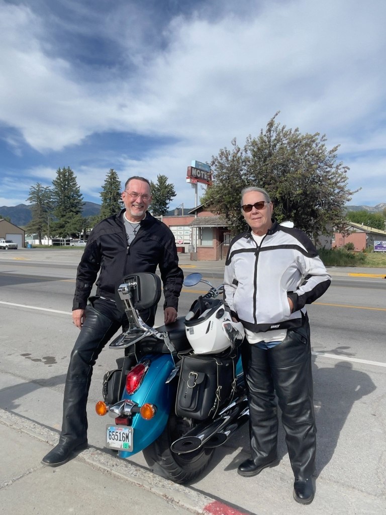
Nomads on a Kawasexy Vulcan

Back at the Swiss Mountain après dinner garden gathering we enjoyed trading stories of our travels in the company of a couple from the Midwest who had checked in to the Swiss Mountain on their way to National Park points north.  Around the Swiss there were always chores to be done.  Lenny was mowing the lawn. 

A group of six or so young men piled out of a car, one of whom mistakenly entered our room thinking it was his.  His friends berated him and apologized profusely.  I suggested a $20 fine, citing obscure Wyoming trespass law.  They hastily made their way to their actual room next to ours. A pickup pulled into the lot towing a commercial dog trailer.  Seems that in Afton, down the road, a big herding trials competition was happening and this Wisconsin couple, though not competing, had brought beautiful border collies, perhaps to watch and learn. They are smart K-9’s. Probably bored watching K-9 trial YouTube videos.   

As the sun was setting, Lenny joined us having finished his yard work.  The conversation began to warp a bit as Lenny described his conspiracy mindedness.  Once again evidence of the pervasiveness of doing one’s own research on the internet. It was mostly innocent and those of us less inclined to subscribe to some of his notions, in good cheer, listened respectfully, suppressing our scepticism, only allowing for an occasional chuckle so’s not to offend.  Indeed, there was no vacancy at the Swiss Mountain Motel.   
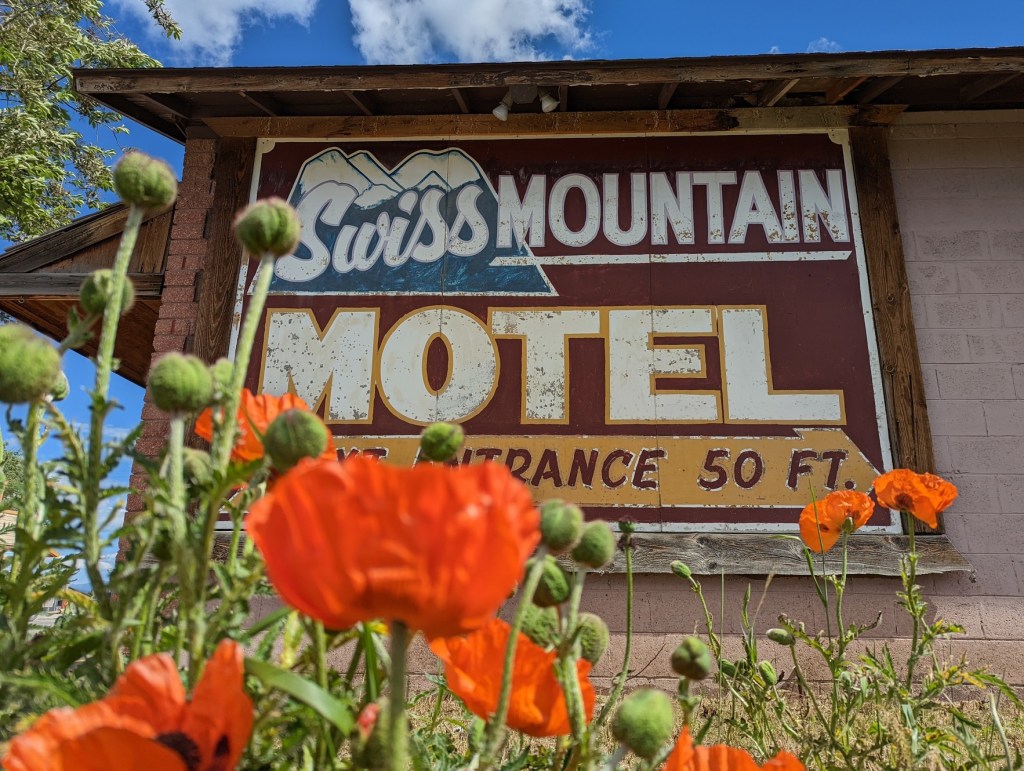
Wait, just what kind of poppies is Lenny growing?  Could that be the source of his conspiracy mindedness?  Tee, hee…

Day 5 – Friday, June 19 

Thayne, WY to Vernal, UT ~263 Miles

WY-89 → Smoot → Geneva → US-30 → Cokeville → Diamondville → US-189 → WY-412 Carter Cutoff Rd → WY-414 at I-80 → Mountain View, WY → Lonetree → Wyoming/Utah border and UT-43 → Manilla, UT →  UT-44 → US-191 S Flaming Gorge All-American Road → UT-44 Red Canyon → US-191/US-40 → US-6 Price Canyon → Patriot Stay Motel

The route from Thayne to Vernal wasn’t complicated.  Since my phone was virtually useless as anything but a phone with text, both important functions to keep my wife posted of our location and well-being, and then only intermittently, with no functional navigation or internet search.  I won’t get into SMAP’s use of maps.  He’s an Apple Maps guy.  I’m a Google Maps guy.  It’s like he’s a Dodgers fan and I’m a Giants fan. 

Full disclosure:  I’ve reconstructed the following, as most of the preceding, from memory and our photos and have post-trip internet capability to check the maps and routes I’ve noted for accuracy.  Yes, I did my own research and it is factually accurate. SMAP is my fact checker. So much for the Giant-Dodger rivalry.

The Mountain Valleys & High Deserts (WY-89 to Diamondville)

Our journey began on WY-89, winding through the Star Valley—a green, high-altitude alpine haven hemmed in by the Salt River Range. Passing through the quiet community of Smoot, the road climbed and dipped past pine forests and rolling pastures. As we crossed the state line near Geneva, Idaho, and headed east onto US-30, the scenery began to dry out.  The lush valley gradients slowly gave way to the rugged, sagebrush-speckled hills of Cokeville.  Following the path of the old Oregon Trail, the terrain stretched into wide-open Wyoming ranch land, flattening into a vast, high-desert plateau of stark beauty as we approached the historic coal-mining town of Diamondville.
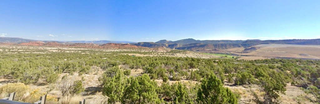
Open Pit coal mine tucked away near Diamondville (courtesy of Google Maps street capture)

The Sagebrush Steppe & Badlands (US-189 to Manila)

Turning south on US-189 and cutting across WY-412 (Carter Cutoff Road), we entered an isolated, wind-swept landscape. This is classic Wyoming basin country:  wide horizons, oil rigs, and rolling hills blanketed in low brush.  At I-80, we picked up WY-414, heading south toward Mountain View and Lonetree.  Here, the flat plains began to ripple. Striated badlands and red-dirt bluffs peeked out from the soil, signaling our approach to the Uinta Mountains. Crossing the Wyoming/Utah border onto UT-43, the expansive ranching country dropped down into the small, oasis-like valley town of Manila, Utah.
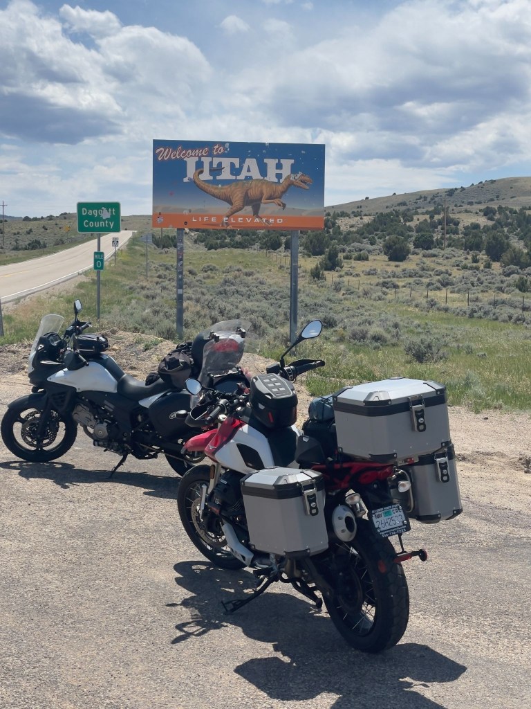
Yes, those would be bullet holes in the “life elevated” sign

The Flaming Gorge & High Uintas (UT-44 to Red Canyon)

Leaving Manila on UT-44, the landscape shifted dramatically as we climbed into the Ashley National Forest, now on the US-191 Flaming Gorge All-American Road, surrounded by thick stands of ponderosa pine and Douglas fir.  The climax of this stretch is Red Canyon.  The forest suddenly dropped away into dizzying, vertical cliffs of vibrant, fiery-red quartzite. Below, the deep green waters of the Green River and Lake Flaming Gorge snake through the bottom of the chasm, creating one of the most stunning color contrasts in the American West.

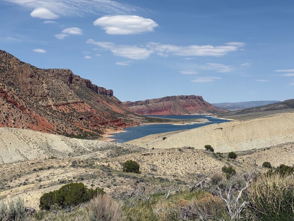
Red Canyon
Lake Flaming Gorge, blue and not green like the river or red like the canyon
SMAP posing bullet free (and not pointing at the obvious)

The Uintah Basin to the Desert Canyons (US-191/US-40 to Price Canyon)

Descending the southern slopes of the Uintas, the pines vanished, and we spilled into the arid Uintah Basin.  Traveling the shared stretch of US-191 and US-40, the landscape turned into a sun-baked desert of exposed sandstone and gray shale hills.  
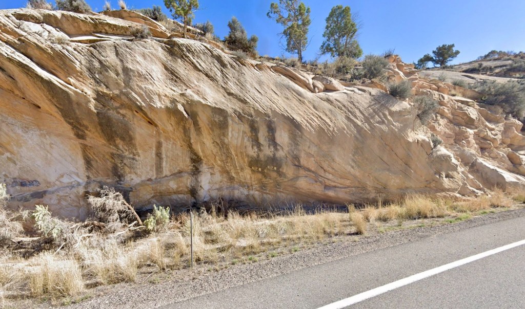
Sun-baked sandstone road cut on US-40

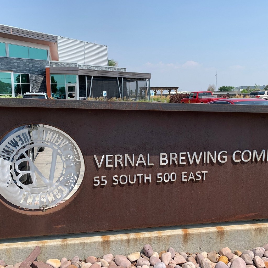
On to Vernal, the first leg of our Utah ramble looped back into the heart of the Uintah Basin, concluding on the historic Main Street of Vernal at the Patriot Stay Motel. This family-owned property features a distinct patriotic theme and puts you just steps away from the heart of the Right Petunia Triangle of the Patriot Stay Motel, the Utah Field House of Natural History State Park Museum, and the Vernal Brewing Company.
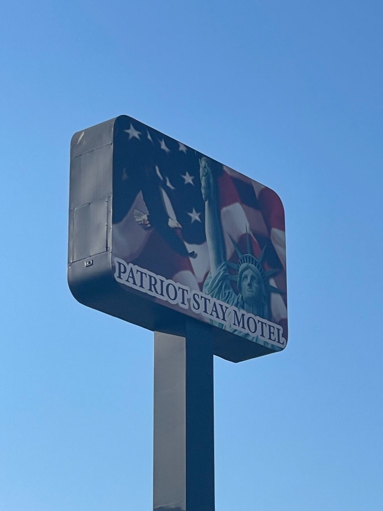
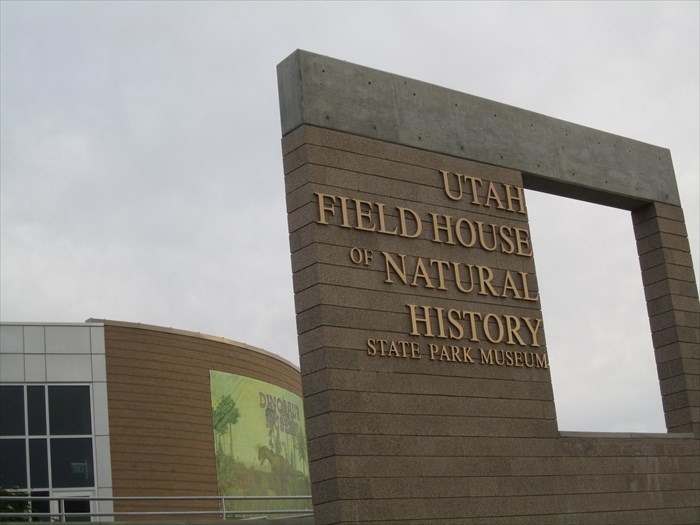
The Patriot Motel, located in one of the vertices of the right Patriotic Petunia triangle of Vernal, Utah
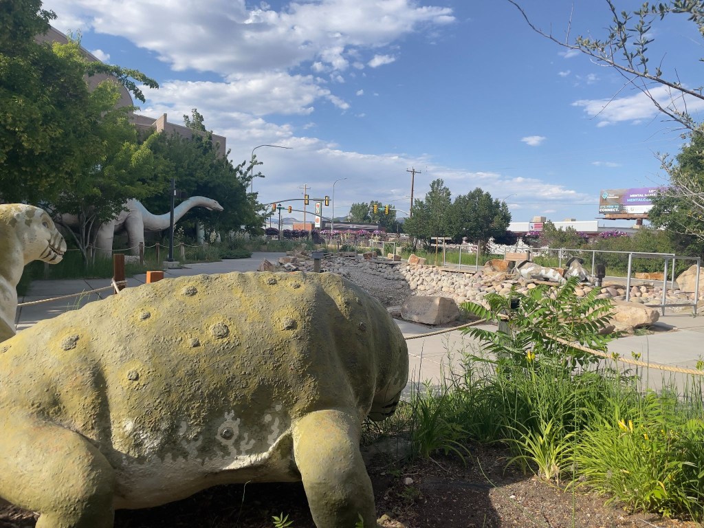
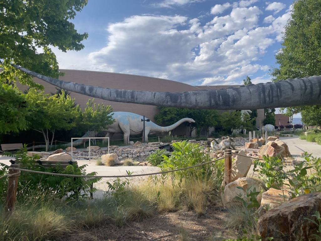
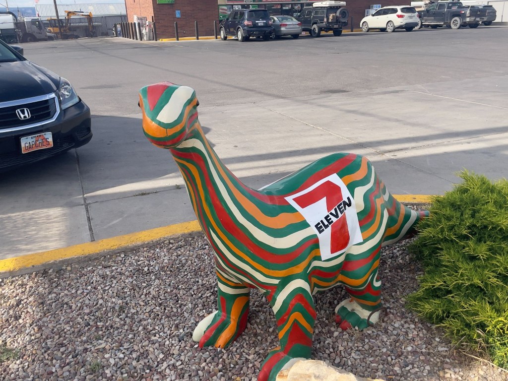
With a side of what many Utahns believe to be antediluvian critters, some brightly painted

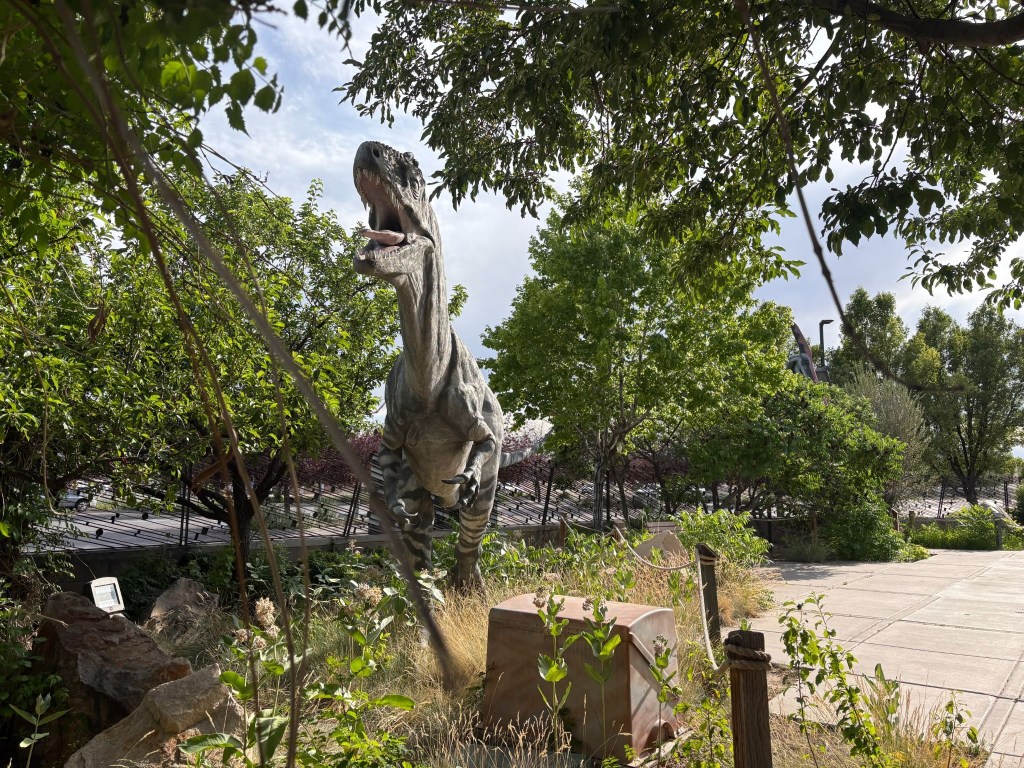
The folks who market Utah’s natural history have definitely done the deep dino dive.  Utah is deeply, single-mindedly obsessed with dinosaurs, treats them like local celebrities, and practically makes them the state’s entire personality. It is the only place where you can drive down a highway, spot a massive fiberglass Triceratops, and not even blink because you just passed three others outside a gas station. 

The state boasts the highest concentration of Jurassic bones in the country, and locals treat these ancient fossils less like scientific anomalies and more like treasured family members. In fact, Utah loved dinosaurs so much they designated the Allosaurus as the official state fossil, because apparently, having a state bird just felt too mainstream. 

From roadside dino parks with roaring animatronics to actual towns named “Dinosaur,” the state’s prehistoric fixation proves that while the beasts may have gone extinct millions of years ago, Utah is doing everything in its power to keep the spark alive.  

Here are the more evidence-based recreations of these spectacular beasts…
And those the Chamber of Commerce distributes about town…
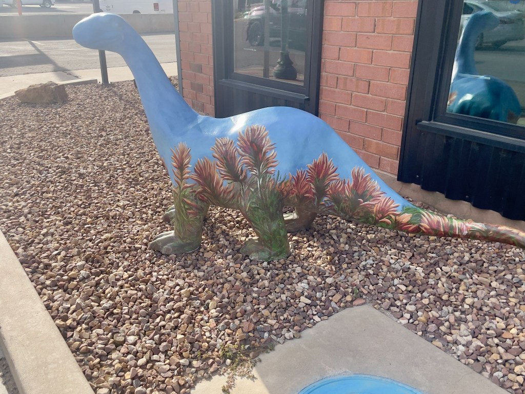
Dinosaurs have NIL contracts?

Apparently the rodeo was happening on our Vernal day through the weekend.  We opted for procuring nourishment, a beet salad with chicken for moi and a salmon salad for SMAP at the Vernal Brewing Company, across from our motel, and a return trip across US-191, the Main Street, to the 7-11 for 3R’s beverages thus completing the Patriotic Petunia Triangle of Vernal, Utah.  Since the Stanley Rodeo was a bust I wasn’t going to take any chances in Vernal.
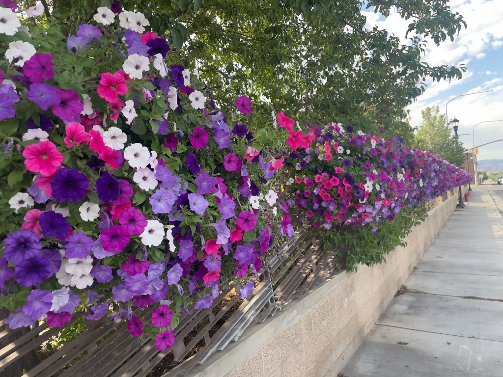
Patriotic petunias and dinosaurs… Jurassic Park could have avoided the mess with petunia power

The Sisyphean Ramble Planning Criteria (SRPC) gave the Patriot Motel a three of five star rating. The air conditioning, luxurious towels, and proximity to mangia e bevi and the Utah Field House of Natural History State Park didn’t quite live up to the gold standard of motels, the Y in Chama. Because it wasn’t raining, there were point deductions. The parking lot cancelled the rain deduction. Hence, a 3 out of 5 star rating. It’s a complicated system.
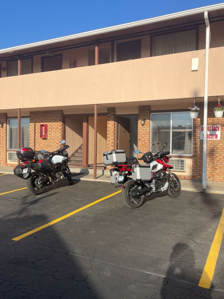
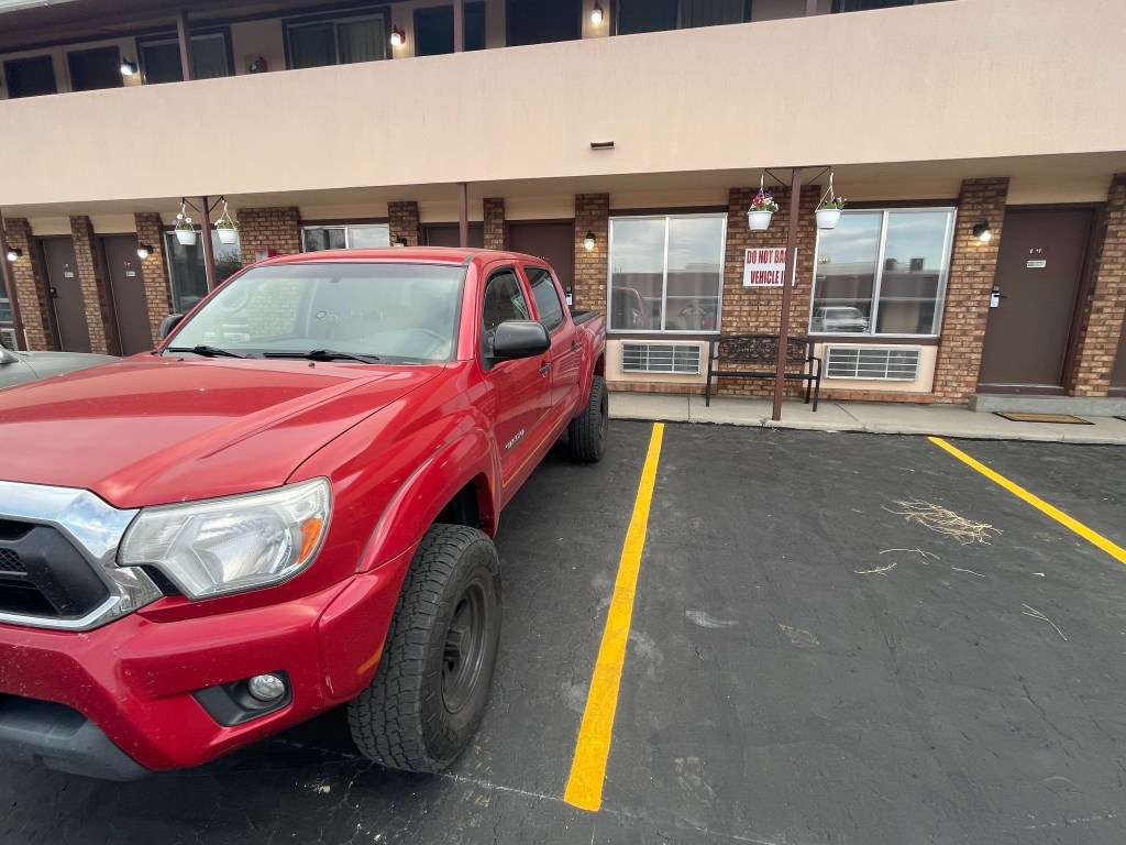
Note the sign on the wall in the parking lot
We assumed it meant for each parking spot

Day 6 – Saturday 6/20    

 Vernal, UT to Torrey, UT ~280 mi 

US-191 → Ft. Duchesne → Duchesne → Castle Gate → Price → UT-10 → under I-70 → UT-72 → Fremont → UT-24 → Lyman → Torrey → Rim Rock Inn

The Uinta Basin and Energy Corridor (Vernal to Duchesne)

The journey on Day 6 began in Vernal, a green valley oasis, somewhat less green because of persistent drought, famous for its dinosaur history. Leaving town heading west on US-40, the landscape opens up into the vast, arid expanse of the Uinta Basin. To your right, the distant, pine-covered peaks of the Uinta Mountains rise along the horizon. 

We passed through Fort Duchesne, the tribal headquarters of the Ute Indian Tribe, marked by sprawling ranch lands and cottonwood trees along the Whiterocks River.  By now the digital (Google Maps/Apple iPhone) navigation was completely kaput.  Taking out the paper map (California State Automobile Association) we made a slight error in taking the road to Ouray.  It would have been one of those serendipitous errors had we gone on to Ouray.  Just northeast of the community lies the Ouray National Wildlife Refuge, an oasis established in 1960 that covers nearly 12,000 acres along the Green River.
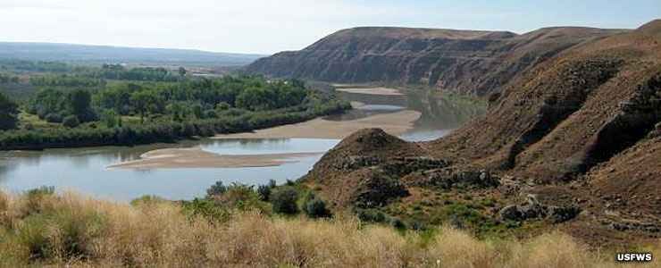
Ouray, Utah (photo courtesy of USFWS)

Once we discovered we were headed away from Torrey, after a quick CSAA map check discovering that the turn we wanted was down the road a bit further at Duchesne (without the Fort prefix), we continued west as the highway cut through rolling clay hills and oil-field country until we reached Duchesne, a quiet river town sitting at the junction of the Strawberry and Duchesne rivers. With no fort.  

Through the Canyons to Coal Country (Duchesne to Price)

From Duchesne, we turned south onto US-191, beginning a steady climb out of the basin. It was here that the magnetic clasp on my tank bag let loose and that was that for the paper map.  It went flying off to the side of the road.  At that point, it was fate that we would navigate from fading memories and road signs.  Until SMAP purchased a map in Torrey. Maps, once prolific in gas stations, have conceded to the digital world.

The road wound through Indian Canyon, where Sagebrush flats gave way to juniper trees and eventually thick groves of aspen and pine as we crested the summit. Descending the southern slope, the canyon narrows significantly. We emerged at Castle Gate, named after the famous, towering rock formation that resembles a medieval fortress guarding the canyon mouth. Turning onto US-6, you enter the rugged Price River Valley and arrive in Price, a historic mining and railroad hub dominated by dramatic, book-cliff mesas.
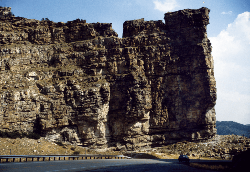
Castle Gate in Price River Canyon composed of the Castlegate Sandstone of the Cretaceous Mesaverde Group ( Photo courtesy of Utah Geological Survey)

Over the Volcanic Plateaus (Price to Fremont)

Heading south from Price on UT-10, we traveled through the Castle Valley corridor. To our right, the massive, flat-topped wall of the Wasatch Plateau kept us company for miles. We passed quiet farming communities like Huntington and Castle Dale.  

As I was turning onto the I-70 on-ramp our hunch to make it to Torrey based on SMAP’s Apple Map, he urgently demanded I STOP! over the comms.  He then investigated an underpass eventually diving south under the concrete spans of I-70 near Fremont Junction.  Again, comms compromised by the concrete underpass, he’s shouting for me to STOP, STOP!  I was stopped.  Against my better judgement, I made a quick U-turn going in the wrong direction off the on ramp.

I then joined SMAP on the route that transitions to UT-72 and ascends the high, windswept expanse of the Wasatch Plateau. This section is a dramatic wonderland of alpine meadows, deep forests, and black volcanic boulders, offering expansive views of the San Rafael Swell to the east before dropping gently down into the high valley town of Fremont.
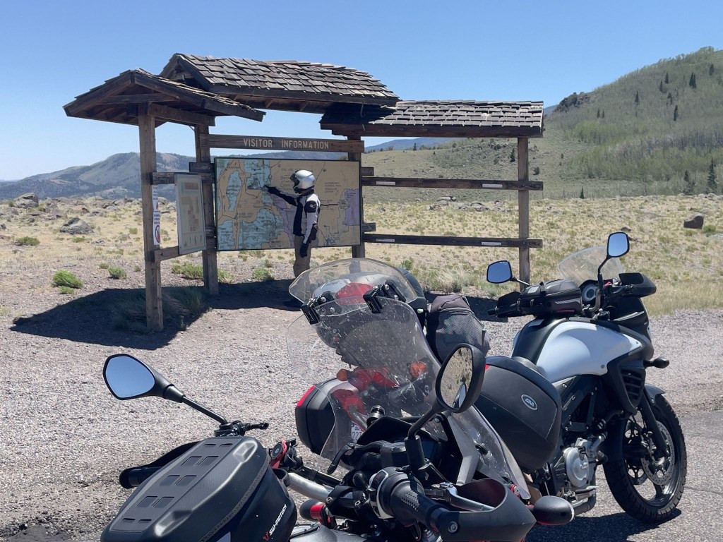
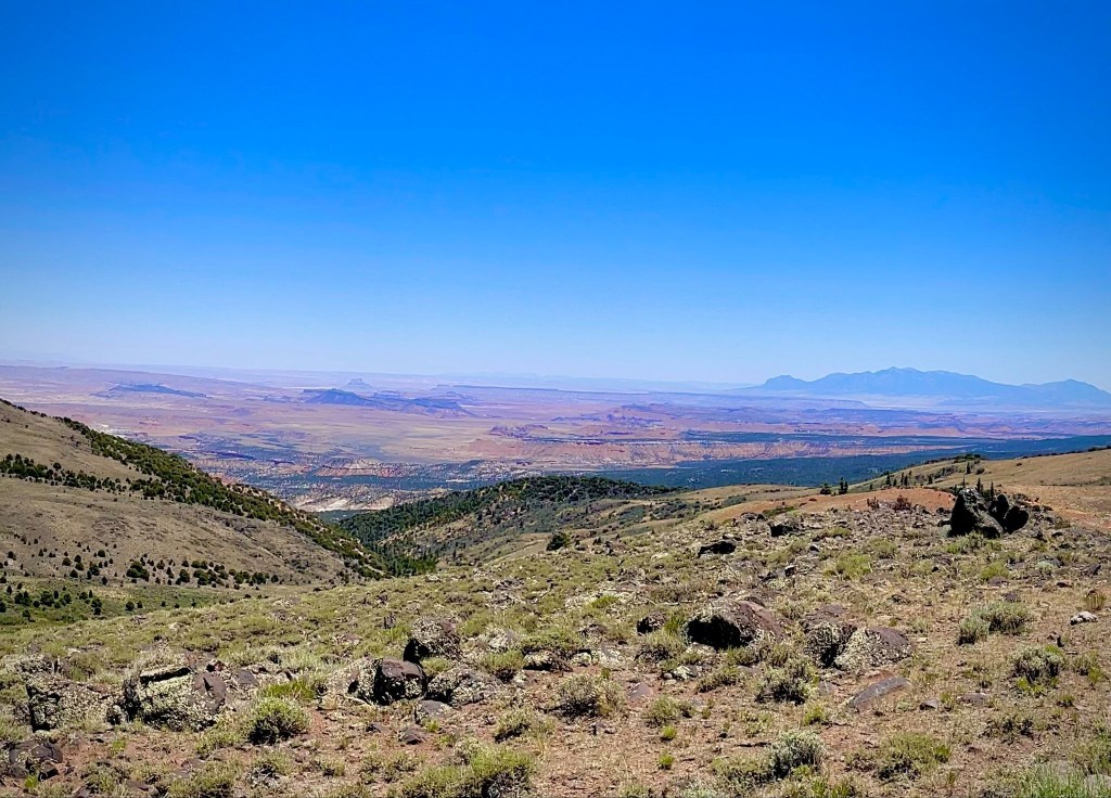
Old school navigation
San Rafael Swell from Hogan Pass

Into the Red Rock Country (Fremont to Rim Rock Inn) 

From Fremont, a short roll connects you to UT-24, where the scenery changes instantly. The green mountain pastures vanish, replaced by irrigated fields and the brilliant, sun-baked red dirt and white sandstone of Wayne County. We passed through Lyman, a peaceful valley community where on the last Knucklehead bicycle ride in 2015 we had breakfast before tackling the road up to Hogan Pass.  

We followed the Fremont River as it carves its way toward the spectacular Waterpocket Fold. The road leads into Torrey, a tree-lined gateway town shaded by massive historic cottonwoods.  Just east of Torrey, sitting high on a panoramic plateau with unobstructed, jaw-dropping views of the towering red cliffs of Capitol Reef National Park, our journey concluded for the sixth day at the Rim Rock Inn.
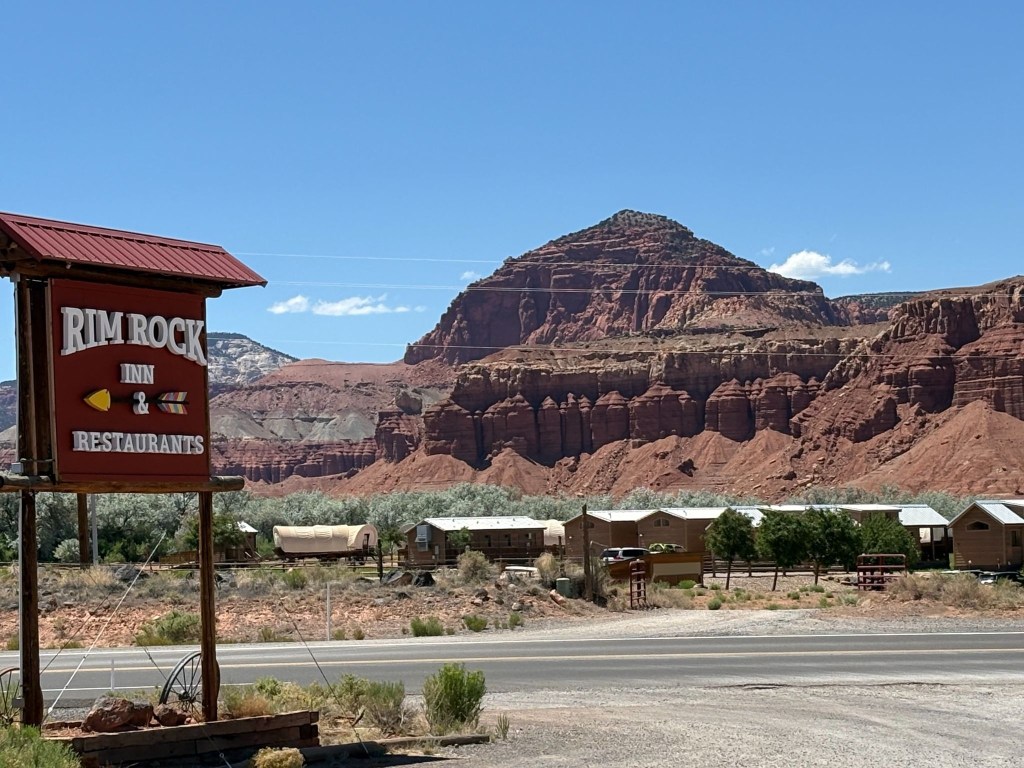
The Rim Rock, near the entrance to Capitol Reef  

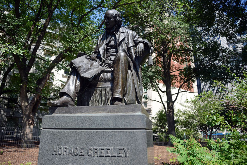
The arrow on the sign points to the Rim Rock Inn.  The buildings pictured in the background, given the conestoga wagons, must be a Latter Day Saint pioneer dormitory.  “Go West young man and grow with your country!”  Wait, that was Horace Greely and not Brigham Young who famously said, “This is the right place, drive on” about the Salt Lake Valley.  
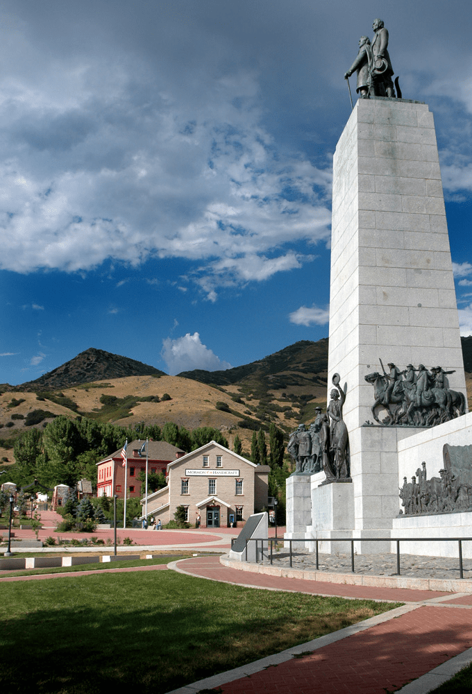
There seems to be something of a “reverence gap”

After checking in, we ambled down to the Rim Rock Patio for a well-earned whistle wetter—cold, crisp, and exactly what seven hours of Utah highway demanded.  From there, a quick errand into Torrey for the 3R provisions, before we drifted back to the Patio and let a wood-fired pizza seal the day.  Following the tip Lenny gave us in Thayne, we opted for the “bar” menu of the Patio pub, a decidedly less formal restaurant than the fancy steakhouse attached to the motel.
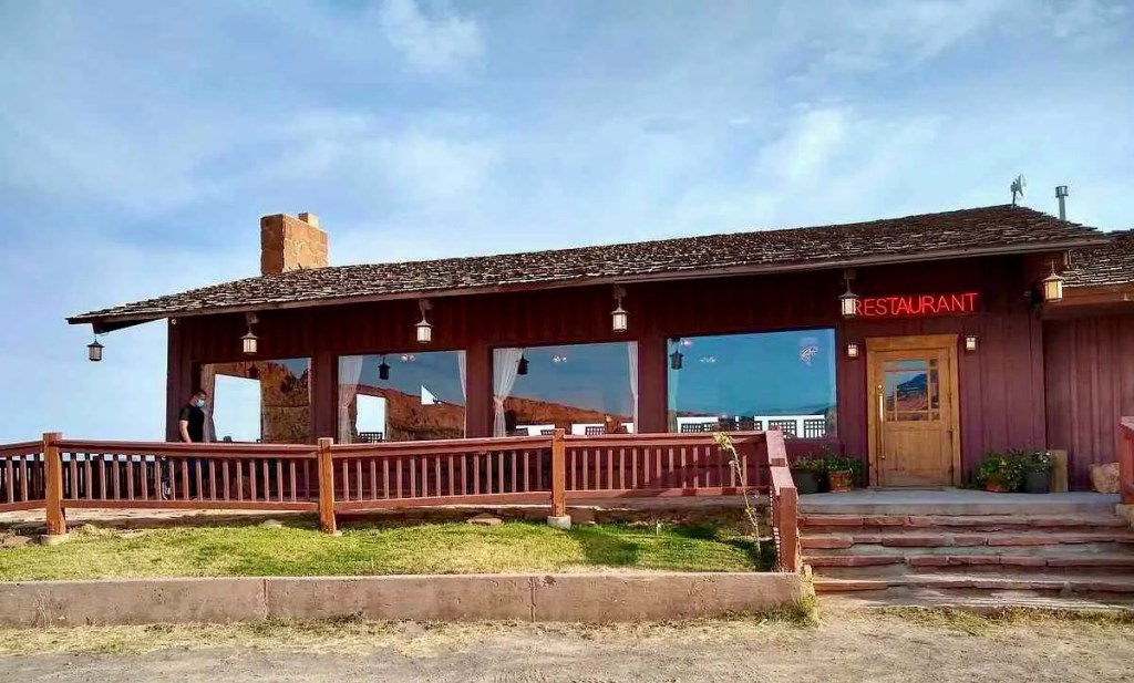
Fine dining in Torrey

The servers were as spicy as the pizza.  Well, as spicy as Utah pepperoni permits.  Maybe that’s what’s meant by SPAShetti Western Cafe.
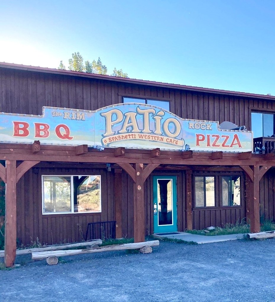
Dining just fine in Torrey

The evening turned into one of those rides-within-the-ride: red rock fading to purple-is alpenglow, then black, while we nursed our refreshments and let the desert sky do the rest.  A waxing crescent moon hung low and thin, with Venus, Saturn, and Jupiter keeping quiet company beside it—the kind of sunset that makes us glad we stopped riding when we did.  We still couldn’t see Mercury.

In my best anthropomorphic rabbit voice:  “Goodnight Moon!

Day 7 – Sunday, June 21

Torrey, UT to Caliente, NV ~282 miles

UT-12  → Boulder, Escalante, Cannonville, Bryce Canyon City, → US-89 → UT-14 → Cedar City → UT-56 to the Nevada Border → NV-319 → Panaca → US-93 → Caliente NV → Shady Motel

Our day began as the asphalt was calling, and our tires were about to get a serious workout. Only a little disconcerting since my front Micheline Anakee had upwards of 12,000 miles. This exact route is a legendary mix of twisties, high-altitude sweeps, and pure desert throttle.  Here is how that stretch of blacktop felt on two wheels, of the moto variety and a nod to the pedal variety.

The Apexes and the Abyss (UT-12)
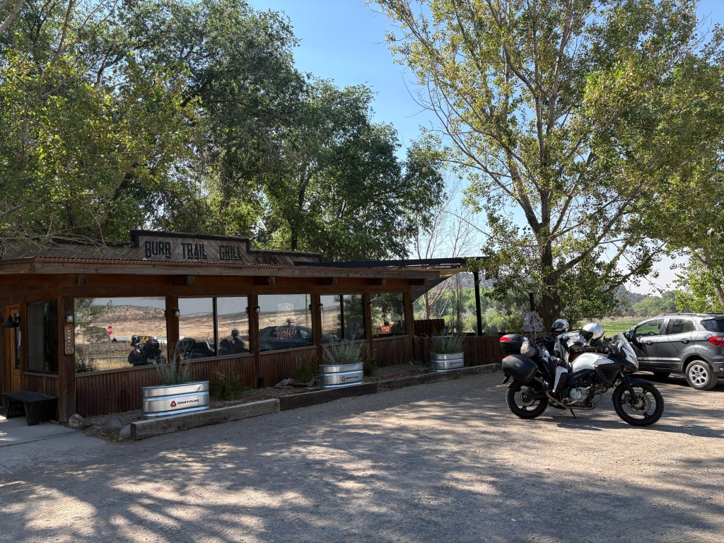
Croissants and coffee in Boulder

Boulder is at the intersection that leads to the Burr Canyon from UT-12 on the E. Burr Trail Rd.  Featured in yet another Knuckleheads’ bike across Utah post and a previous moto post about our ramble through the canyon, there was no time for a revisit as we were headed west.  Leaving Boulder, our tires were barely warm before we hit “The Hogback.”  Not to be confused with Hell’s Backbone road (Hell’s Backbone with DJI Mavic) a few miles northwest of Boulder.  

On a bike, The Hogback isn’t just scenic; it is an adrenaline shot straight to the heart. You are riding a knife-edge of asphalt with a 1,000-foot drop on either side and crosswinds that love to test your counter-steering.  The challenge is to keep your eyes on the exit of the turn, not the canyon floor.  
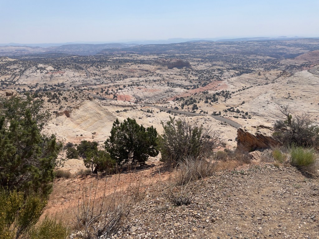
Highway 12 — A Journey Through Time Scenic Byway

In 1997 I found myself pedalling for life as an afternoon thundershower struck while crossing The Hogback on the Tour de Ute.  Channeling Tennyson:

The smell of ozone hung in the air, lightning to right of them, lightning to left of them, hail in front of them volley’d and thunder’d; Some one had blunder’d:  Theirs is not to make reply, Theirs is not to reason why, Theirs is but to do and (hopefully not) die: Into the valley of the Burr Canyon rode ten Knuckleheads…
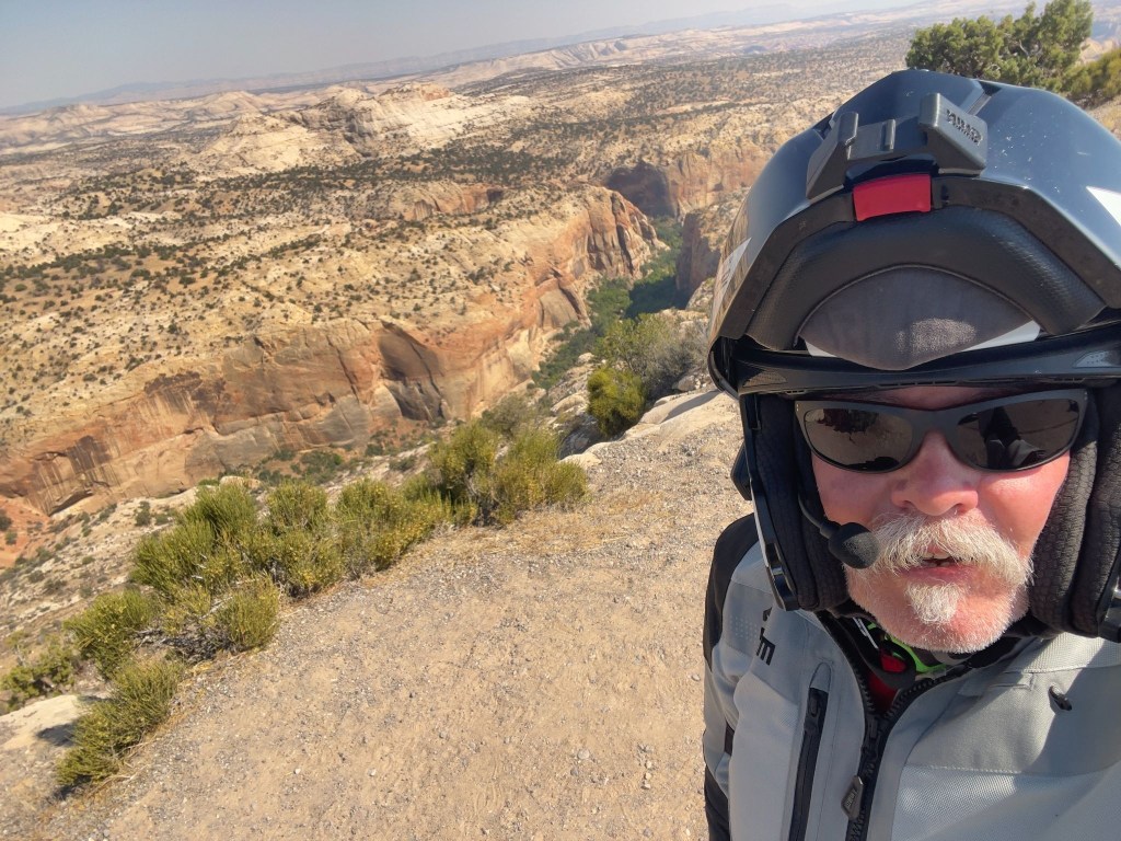
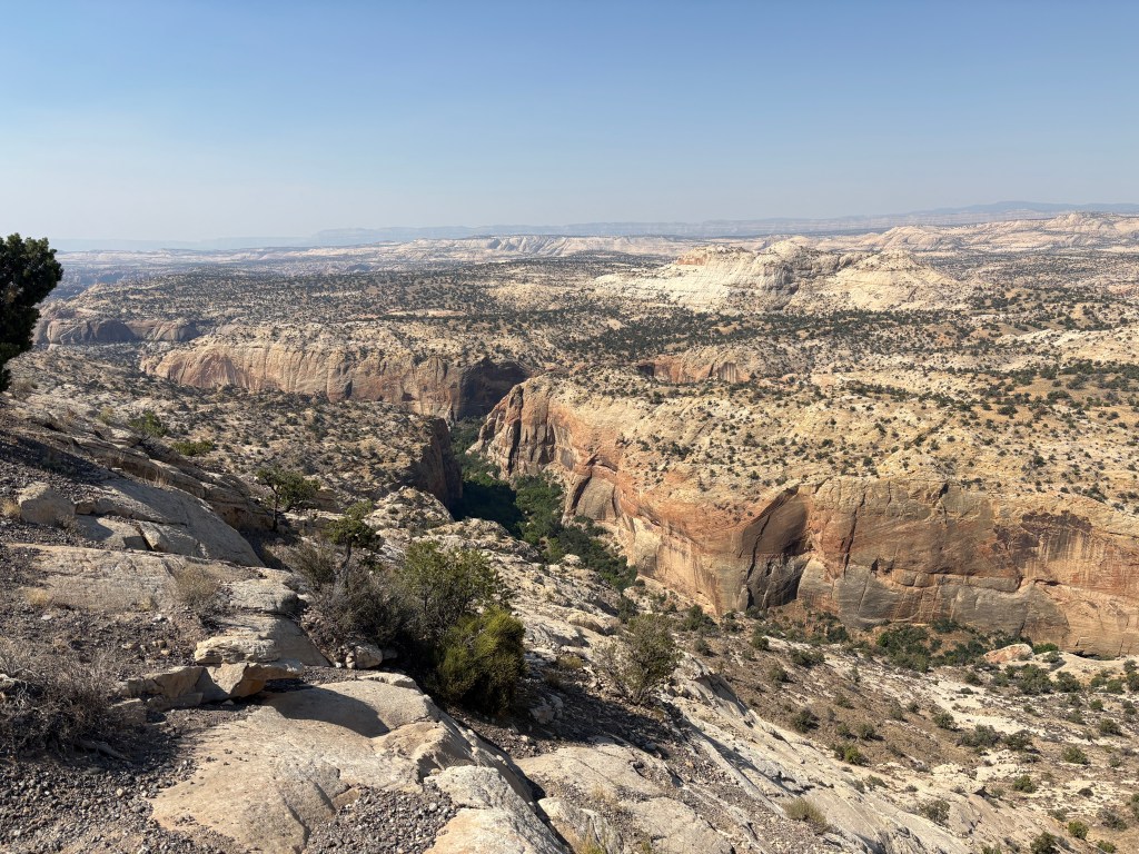
Since 1997, the weather subsequently crossing The Hogback has been benign.  The drop on either side, not so much…
Smokey skies over the Escalante

We dropped down into Escalante, shaking the tension out of our wrists, before leaning into the sweeping curves toward Cannonville. The temperature climbed as we carved through the red rock canyon walls.  Finally, a steady twist of the throttle up the climb into Bryce Canyon City, where the air got crisp, SMAP grabbed a sammy, and the tourist traffic got thick. Watch for rental RVs drifting into your lane.

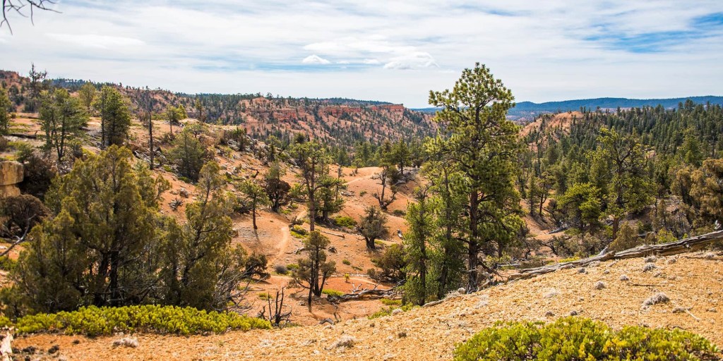
Read the sign
The Outlaw Trail (photo & description courtesy of visitutah.com)

The trail is the same one the notorious Utah-born Butch Cassidy used to evade the law, and it would become part of what was known as the “Outlaw Trail.” The area was also the primary filming location for the 1969 movie “Butch Cassidy and the Sundance Kid,” with Robert Redford and Paul Newman. Redford himself followed the Outlaw Trail in 1976 for a National Geographic piece.

Local legend has it that Cassidy, whose real name Robert LeRoy Parker, got into a fight over a woman at a dance in nearby Panguitch. Having thought he killed her jealous lover, Cassidy fled along the trail. But the injured man was simply knocked out, and upon regaining consciousness he organized a posse to chase Cassidy through these hills. After successfully evading his pursuers, Cassidy would later return to this area — with his the Hole in the Wall Gang and later his Wild Bunch — to hide from the law after a stagecoach robbery or other heist. 
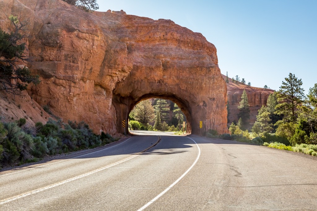
Red Canyon Arch

Lava Fields and Brake Dust (US-89 to UT-14)

After a quick, straight blast on US-89 to shake out the kinks, we leaned hard into UT-14. This is a sport-touring paradise. You lean the bike left and right through tight canyon switchbacks, climbing rapidly up to nearly 10,000 feet. You will definitely feel the chill as you cruise past pitch-black lava fields of the Markagunt Plateau.  Then comes the descent into Cedar City.  It is a steep, brake-burning drop through Cedar Canyon. Keeping an eye out for loose gravel in the corners and deer standing on the shoulder is right there with inattentive tourists stopped on the roadside, taking pictures. 
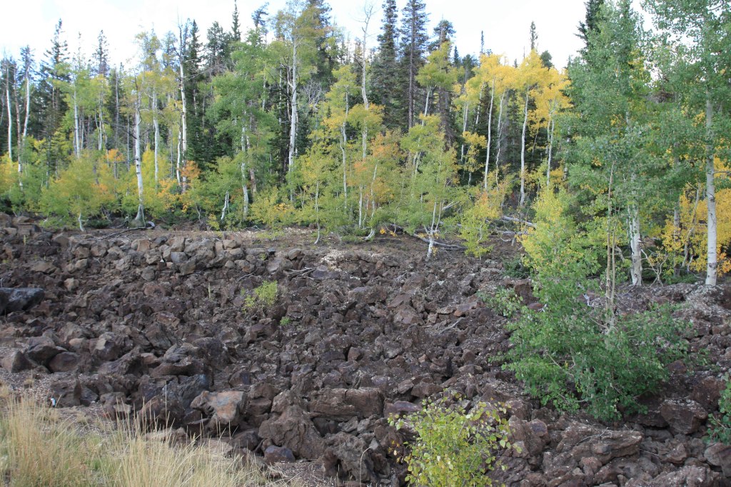
Pitch-black lava flow along UT-14 of the Markagunt Plateau

The Big Throttle Open (UT-56 to NV-319)

After a slight navigation error (despite the map acquired in Torrey, go figure), we stopped in Cedar City for something to give us wings as we were approaching Nevada.  It was time to shift into sixth and set the cruise control.  UT-56 out of Cedar City is a straight, lonely shot through the high desert.  The wind will buffet your helmet and the June heat will have you looking for the nearest water faucet to soak your cooling vest. 
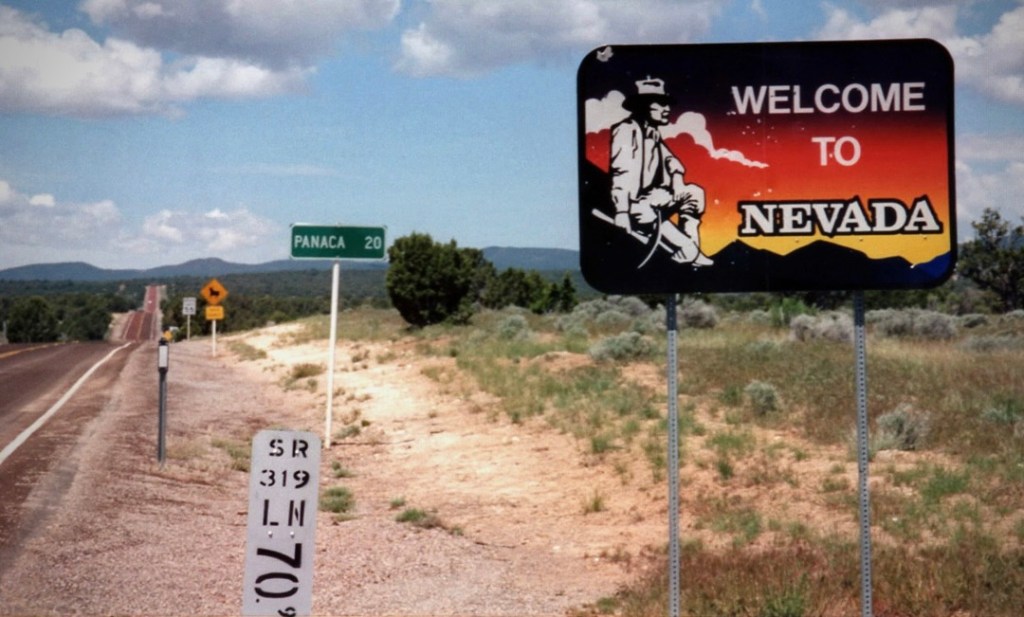
And yet more signs to read

We crossed into Nevada as the road became NV-319, rolling past the stark, white clay spires near Panaca. The pavement here is wide, empty, and fast. It is just you, the drone of your exhaust, and seeing a small patch of shade in front of the LDS church, a place to stop and stretch the nalgas.  Ah, across the road from the church, a Post Office with a spigot and hose.  Worthy of the likes of an inspiring Greely or Young quote, from Sisyphus:  “Soak me with your hose Panaca!”  

Cooling vests were now charged for the run into Caliente, Spanish for HOT.
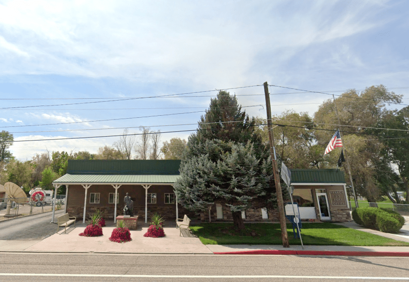
Our oasis has a Zip Code
SMAP enjoying the evaporative cooling vest charged from the Panaca Post Office hosing

Fueling up at the Shell station on the outskirts of Panaca, we met a couple, two up, on a Harley Roadglide, Streetglide, Road King or one of those badass HD-Baaaaggeeeers…  They were from New Jersey and had rented the bike in Las Vegas and were on their way to Yosemite.  They were “hard core” riders, not by way of appearance, but miles, each on their own bikes back home and two-up touring. They had come from Zion and we recommended Tonopah or Ely, masters of navigation that we are, for their Sunday destination.  Another chance meeting with curious like minded ramblin’ folks with stories to tell and good cheer.

The Cool Down at the Shady Motel (US-93)

A sharp left onto US-93 brought us down into Caliente. After hours of gripping the bars, the historic shady streets (at least one side of the street) of this rail town felt like a sanctuary.  It was warm, in the 90’s, but the Shady Motel had top-shelf air conditioning.  Kickstands down, helmets off, and jackets unzipped, soon the afternoon heat would abate. There is nothing quite like the feeling of peeling off riding gloves and boots after conquering the Hogback and the high passes of Utah and sagebrush plains of eastern Nevada.  
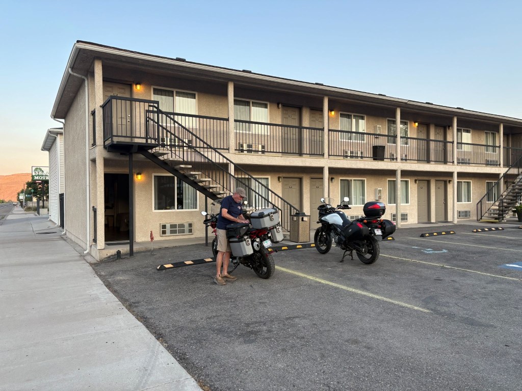
The perfect perch for watching Caliente culture

As we finished checking in, a fire truck showed up with Utah licence plates.  A young firefighter entered the office.  We had noticed smoke in the air from earlier in the day and were in fact rolling into more dense smoke enroute.  Curious fellow I am and a proud papa of two firefighters, I asked if the smoke in the air had something to do with their showing up in Caliente.  The young man said that they were dispatched from Utah to cover the Caliente area that had earlier dispatched engines to a couple of wild fires, the Grapevine and Kane Spring fires south of town.   They were anxious to see fire and not just the smoke.  
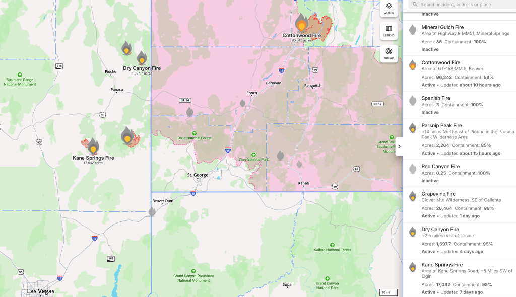
Screen shot from the app, Watch Duty captured on July 9, 2026

I imagine our Utah firefighters got their shot on the Cottonwood fire back home.

An early dinner at The Side Track, spaghetti and meatballs for SMAP and a well executed fettucini alfredo for me at one of our all time favorite ramble restaurants.  Cold rehydrating beverages were procured next door at the All Aboard Liquor Store, and we returned to the motel, set up our camp chairs facing US-93 on the walkway, and watched the locals cruising the main.  Curiously a bus roamed up and down a couple of times filled with students, with whom we exchanged waves. This is how one enjoys the small town vibe as the desert sun set.  
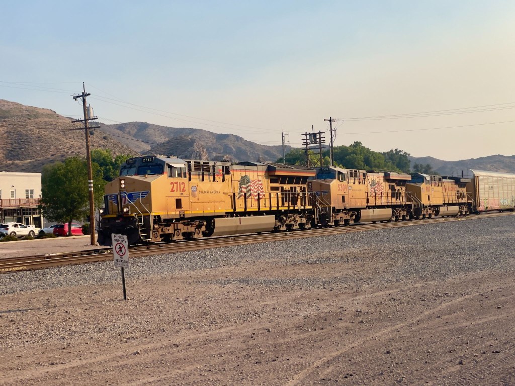
The economic engine of Caliente near smokey-sundown
The golden hour looking west in Caliente
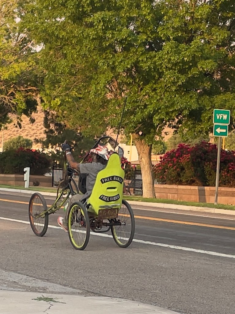
Free Biker, Free Rider
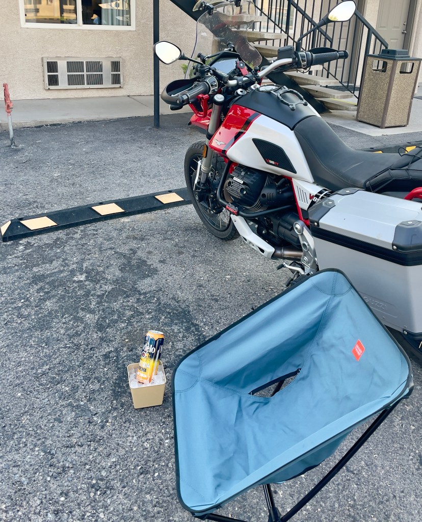
Chair ✔️, ice ✔️, an R ✔️ 
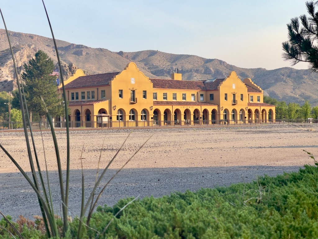
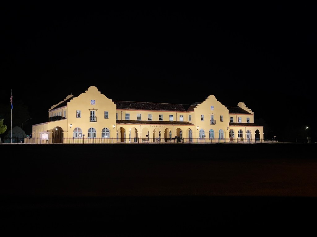
The Caliente Station at sunset
The Caliente Station in darkness
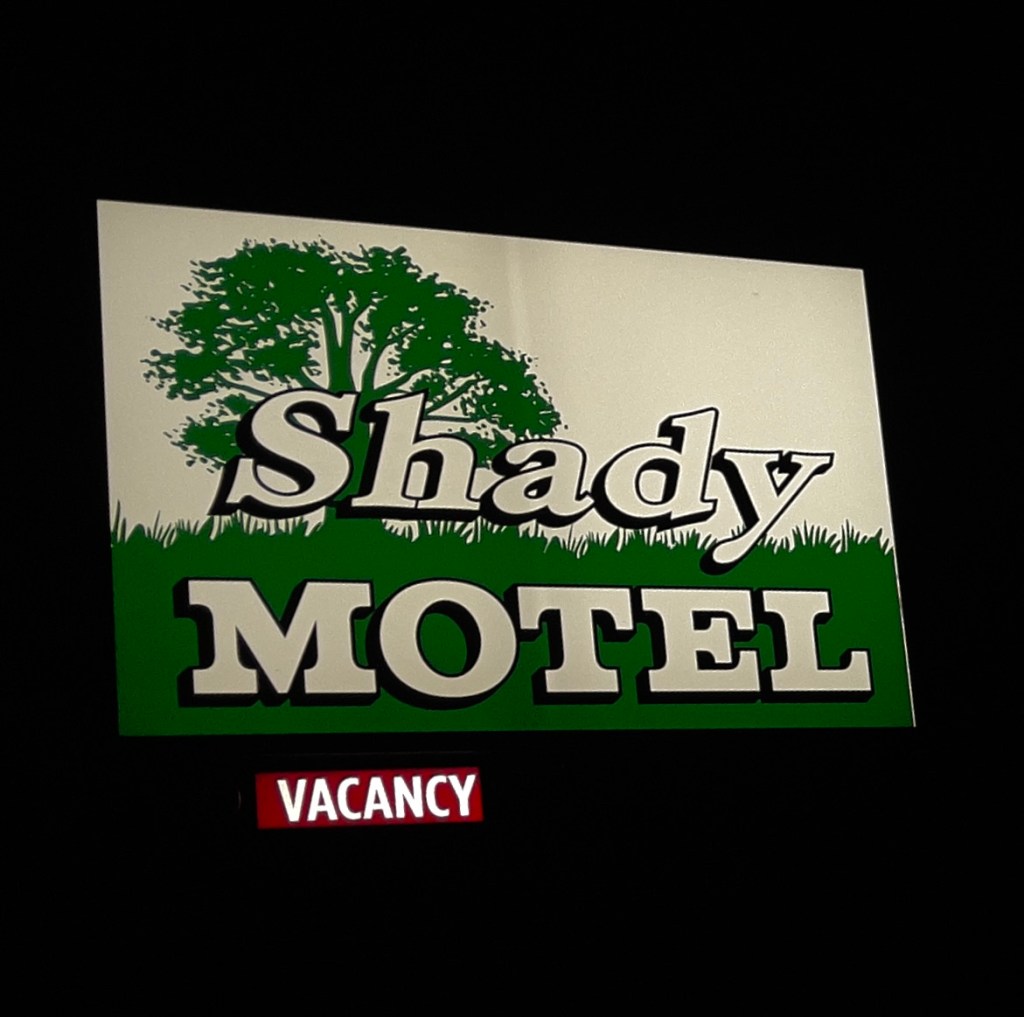
It’s not that something was missing, we had achieved “vacancy” a desired form of relaxation
(From the archaic: absence of activity; idleness)

Day 8- Monday, June 22

Caliente, NV to Merced, CA~466 miles

US-93 N → NV-375 Extraterrestrial Highway → US-6 Tonopah → Benton, CA → CA-120 → Lee Vining → CA-120 → Tioga Pass Crane Flat → CA-120 → Smith Station Rd → Coulterville, CA-132 → Merced Falls Rd → Snelling Rd → Merced → Home Sweet Home

Two Bikes, Two Nalgas, and One Intergalactic Highway

The odometer told us we had 466 miles to cover to get back to Merced.  Another day was planned for somewhere between Independence and Bridgeport on the East Side of the Sierra.  We talked about it.  On a motorcycle, 466 miles is not a distance.  It is a dynamic physical test of how long a human being can tolerate vibrating metal between their thighs before their spinal column permanently fuses into a solid rod.  We were also feeling the other 2,000+ miles of the previous six days, the most recent in heat and now smoke.  Besides, SMAP had to be back before Wednesday for a memorial service. That’s it, let’s iron-butt it home and save the East Side for the fall when temps have relented along with the smoke.

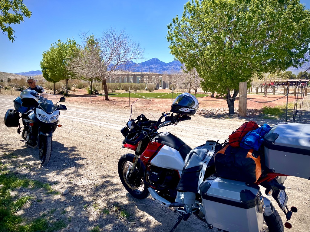
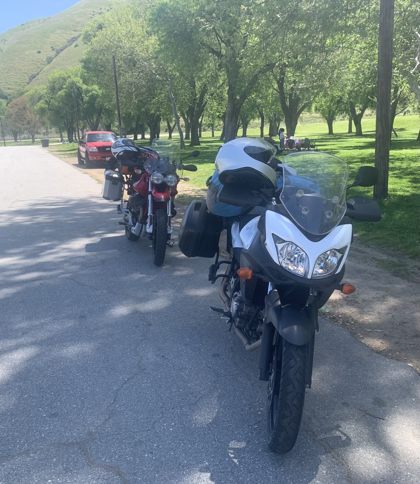
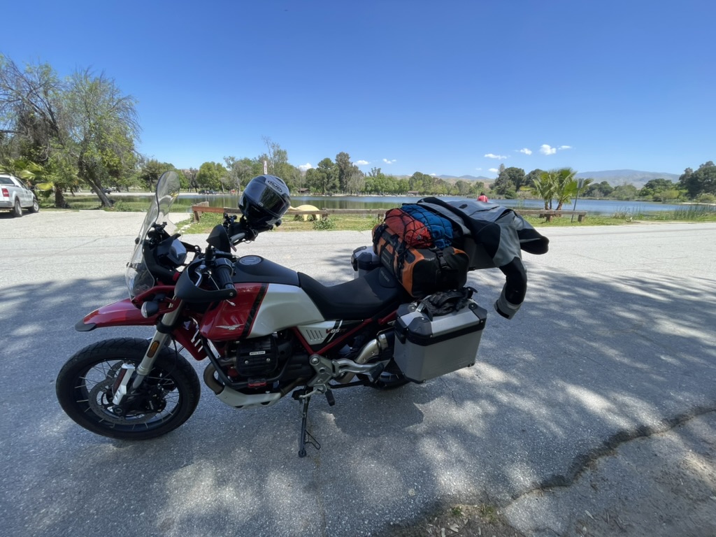
We pulled out of Caliente, me on my Moto Guzzi V85TT, a bike built by Italians who clearly believe that adventure should involve a lot of character, a six gallon fuel tank, and an exhaust note that sounds like a sophisticated tractor. SMAP was aboard his Suzuki VStrom 650, a machine engineered by the Japanese to survive a tsunami, an alien apocalypse, 85 mph all day on deserted Nevada highways, even a skipped oil change.  Although, I must say, SMAP religiously attended to his chain lubrication daily, prior to dinner and the 3R’s.  With my shaft drive and his superb chain maintenance we had nil issues with our bikes.  

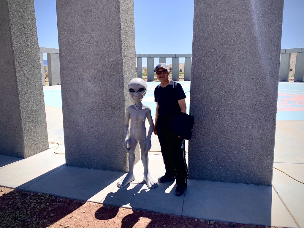
A’Le’ Inn Territory

Once over the border on the previous day, we pointed the front wheels toward US-93 North, which quickly dissolved into NV-375. This is officially designated as the Extraterrestrial Highway. 

The Scenery: Dirt, sagebrush, and a horizon so flat you can see the back of your own head.  The Physics: The crosswinds here do not just blow.  They try to slap you across the face and throw your bike into a ditch full of radioactive tarantulas.  The Aerodynamics: On the naked-ish Guzzi with boxy panniers, I was a human sail.  On the VStrom, SMAP sat in a pocket of calm, Japanese-engineered serenity, looking entirely too comfortable.  
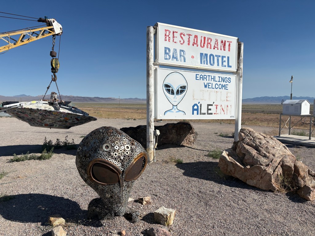
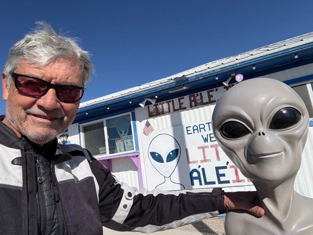
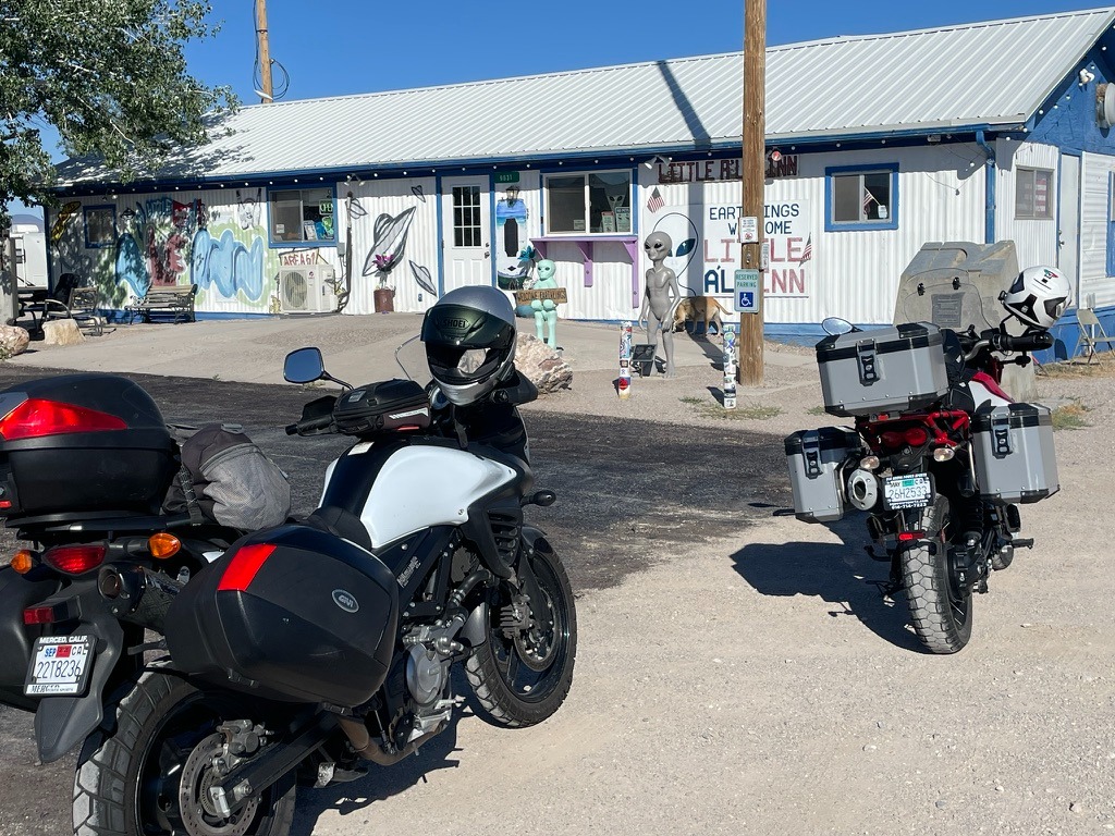
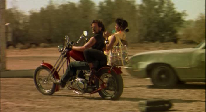
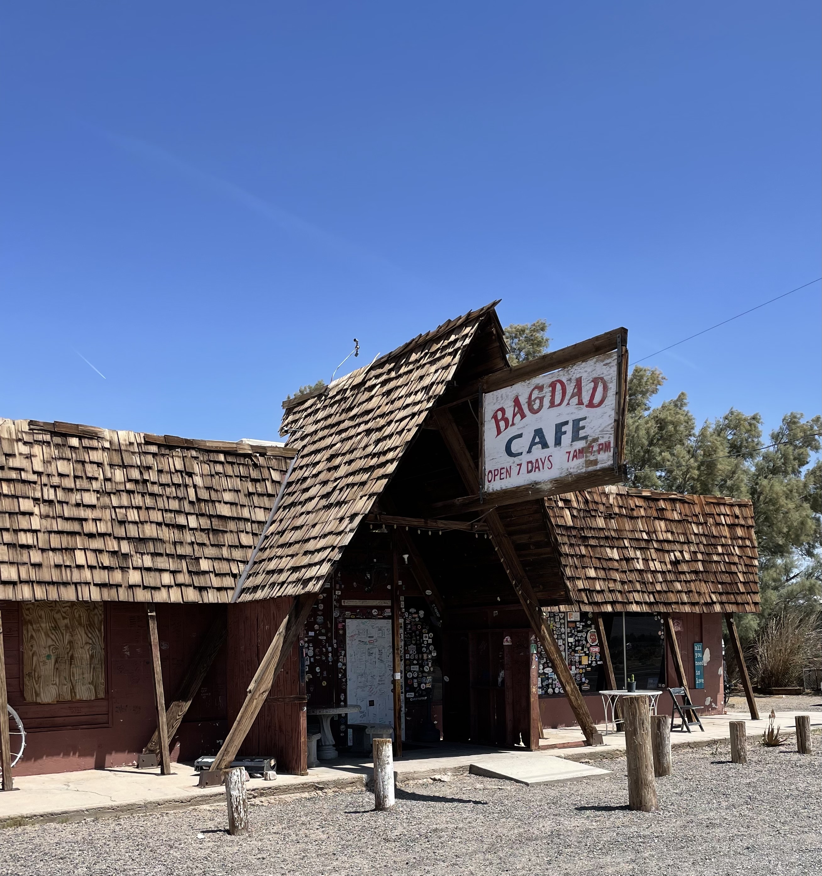
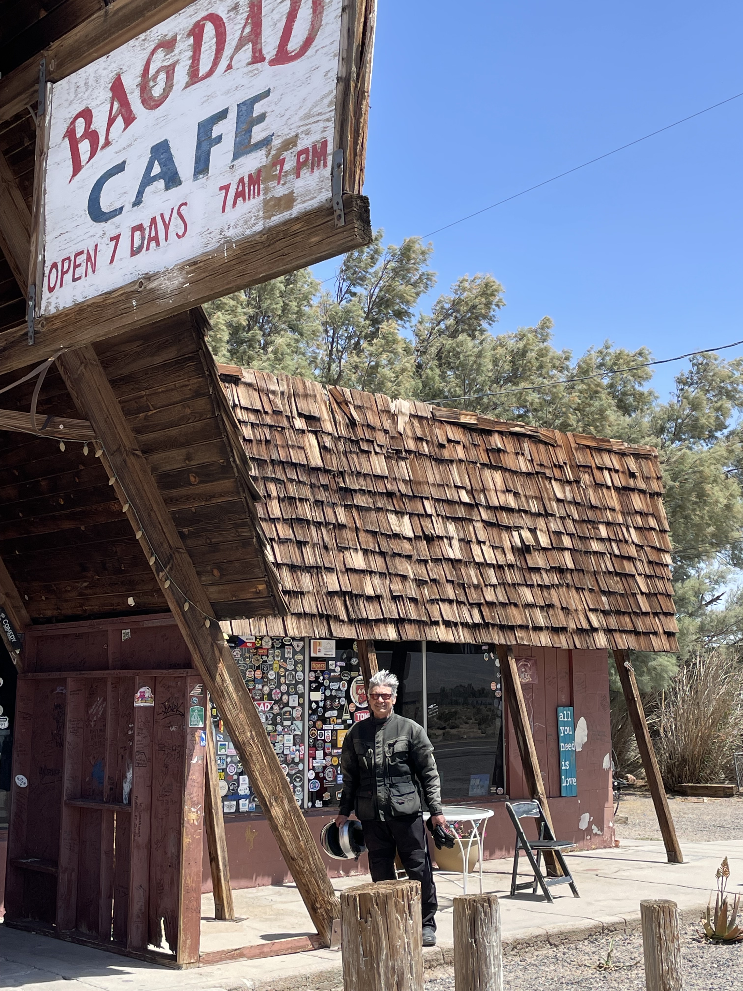
Like the Bagdad Cafe, everyone is welcome at the Lil A’Le’Inn

More cattle die on this godforsaken road from being hit by vehicles than by all the alien mutilation attributed to the unidentified flying objects (AKA unidentified aerial phenomenon) common to the Rachel area.  In fact, we rolled through the graphic tractor-trailer-highway- jay-walking-mutilated-cow art, that had been committed earlier in the day.  Perhaps it wasn’t a tractor-trailer, but something from Area 51…
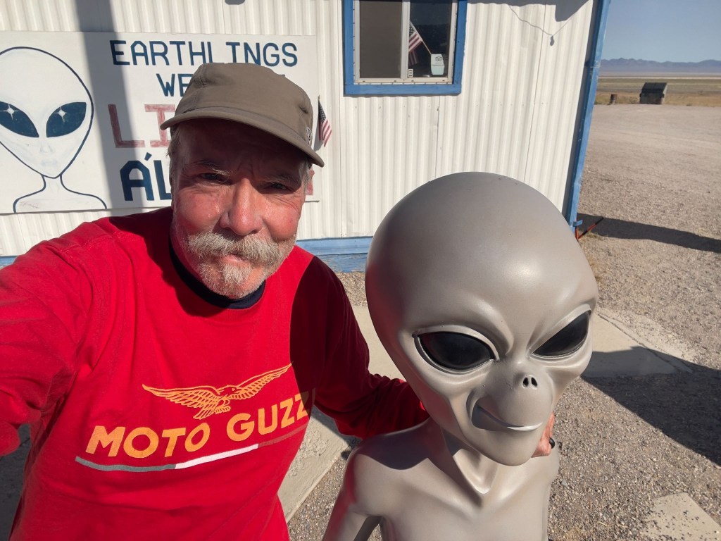
The latest themed kitsch at the Little A’le’Inn

After a fine breakfast at the Little A’Le’Inn Cafe, we set off on the next uninterrupted basin and range, mile-after-mile of nothing more than mile-after-mile landscape. 

Eventually reaching Tonopah, we conscientiously observed the speed limit  through town on US-6.  Tonopah is famous for a hotel filled with terrifying clown dolls and as a Nevada State Patrol speed trap.  Our only stop was for fuel.  We weren’t entirely sanctimonious.  If a clown tried to steal the Moto Guzzi, nobody wins.
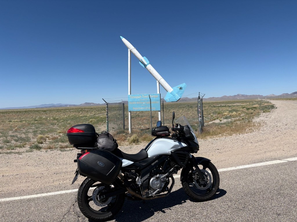
SMAP had to have a pic of the VStrom in front of the Tonopah Test Range entrance
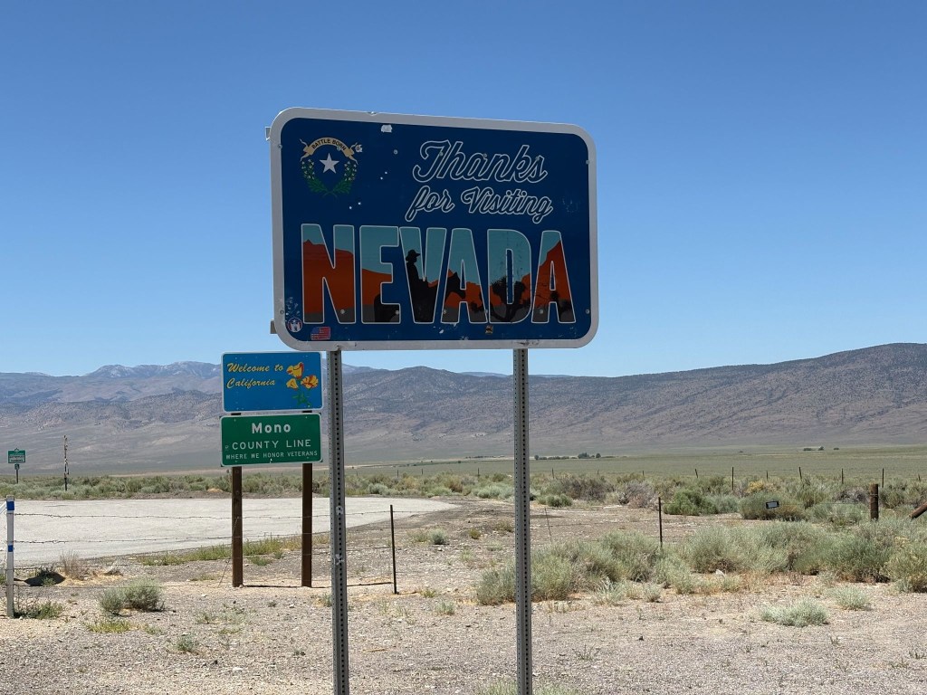
The California Welcome sign kind of pales next to Nevada’s “see ya” sign
(Both relatively bullet-hole free)

Up, Up, and Vertigo

Eventually, we crossed into Benton, California.  The landscape changed from “barren moonscape” to “vertical wall of granite.”  At the Benton Station Store energy drinks were procured for wings to make the whoops enroute to Lee Vining before the hump over Tioga.  But not before appreciating Boundary Peak to the east, from where we came, the highest peak in Nevada.  

We merged onto US-395, 70 miles south of where we joined the Three Flags Highway earlier in the week, so named to recognize its role in linking Mexico, the United States, and Canada. 

Rolling into Lee Vining, a town that exists purely to sell gas to motorcyclists who suddenly realize their low-fuel light has been blinking for 30 miles.  That and the Whoa Nelly Deli where packages of meat can be purchased (SMAP is evidence of someone wanting a protein boost with nitrites) that cost almost as much as a gallon of 91 octane, (Guzzi’s favorite).  I had sunflower seeds.
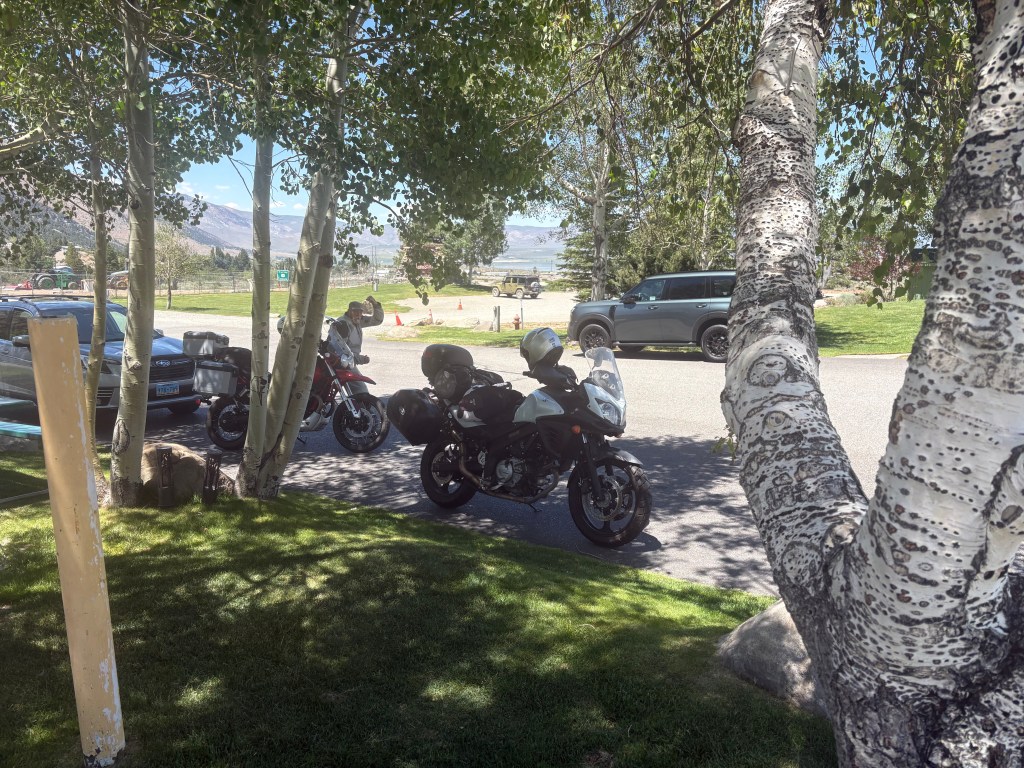
Shade, at a premium at 6,784 feet
Negit (left) and Paoha (right) Islands in Mono Lake

Then came Tioga Pass  

The Elevation: 9,943 feet.  The Temperature: Dropping faster than my investment portfolio.  The Curves: Sweepers that would make a track-day racer weep with joy, followed by sheer drop-offs that make you pray your brake fluid doesn’t evaporate.  The Guzzi loved the thin mountain air, chugging up the switchbacks with its vertically opposed twin cylinders thumping happily.  The VStrom 650 just whined its predictable, ultra-reliable whine, carving through the corners like a surgical instrument.  The only thing slowing SMAP down was an APS (Arizona Pork Sled) trudging its way up the pass. 

We summited the pass, five bars on the fuel gauge and bypassed Crane Flat.  From there, more sluggish traffic and temps were rising by a degree, every 500 feet of elevation loss.   Normally on this long descent your front brake lever becomes your closest personal friend.  A brief stop at the Coulterville Public Pool to dunk our evaporative cooling vests for a somewhat muggy, but cooler final push to conclude the ramble.  

Back Home and a Couple of Weeks of Reflection

Sisyphus, as the myth goes, was condemned to push his boulder up the mountain for eternity, the futility being the point. Sisyphus and SMAP, by contrast, spent eight days pushing two motorcycles across six states (seven if you count California twice) with unreliable technology, navigation largely by fading memory, hunch, and road signs after losing a paper map, and no plan beyond the SRPC and a shared faith that the next fuel stop, motel marquee, or roadblock detour would sort itself out—and it always did, which either disproves the myth or confirms that Sisyphus’s boulder was never the point either way. 
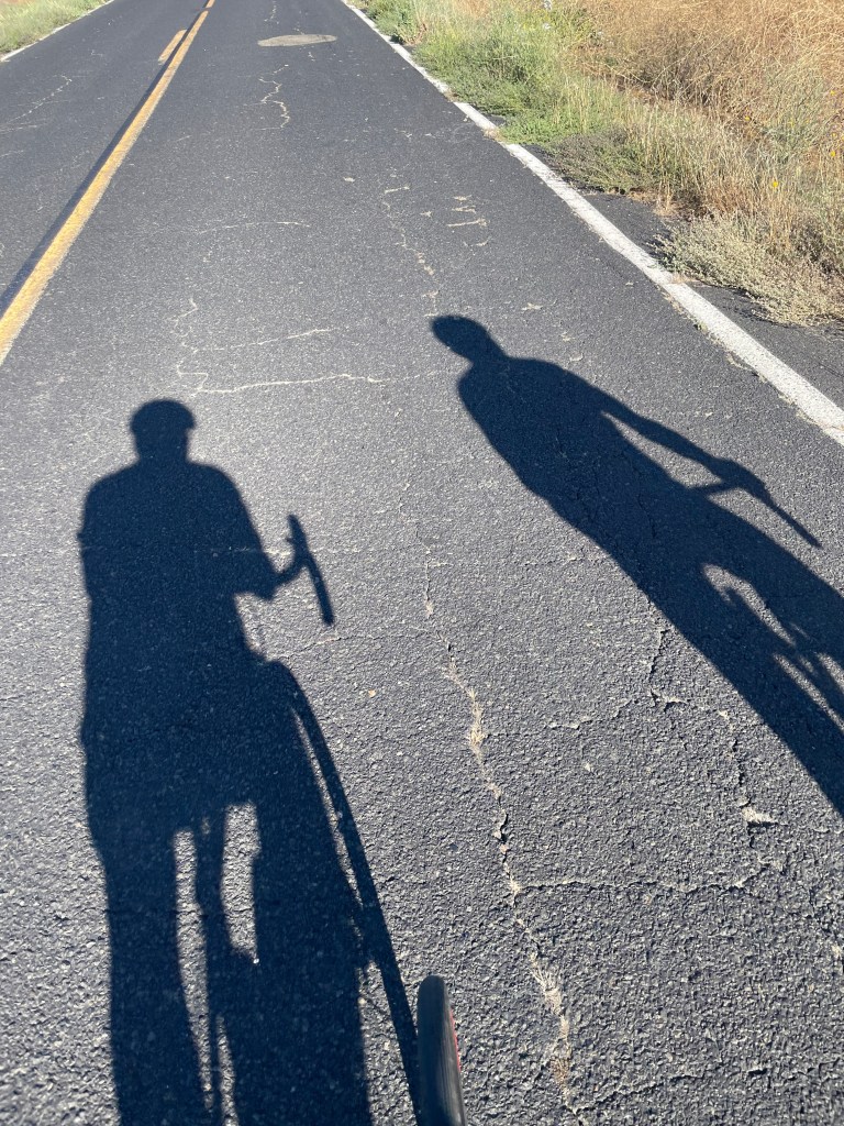
The other two-wheelers in our stables

What lingers isn’t the mileage, though 2,500-plus miles is nothing to scoff at from a saddle. It’s Ming’s bewildered “What a president?”, Donovan’s sweatpants-and-a-helmet optimism, Lenny’s coconut-smoothie curmudgeonry, and a busload of pine-cone harvesters saluted with raised tallboys in a Susanville parking lot under a bank of security cameras that captured, more faithfully than any GPS could have routed us, exactly what this ramble was actually about. 

The Hogback, that tried to kill me 29 years ago, tried gently, the way it does if you take your eye off the center line; Tioga Pass reminded two aging knees and chaffed nalgas why long distance (and elevation) is a young man’s game; and somewhere on the Extraterrestrial Highway, there’s a graphic tractor-trailer-highway-jay-walking-mutilated-cow art and a ditch full of radioactive tarantulas. 

We came home sunburnt, saddle-sore, no more technologically literate, and thoroughly rehydrated, relaxed, and reflected upon—three-R’d into a vacancy most evenings by sunsets that made the whole exercise feel less like punishment and more like the reward Sisyphus never got. 

Same time next ride, boulder willing.

July 9, 2026
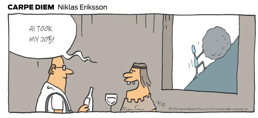
All photos unless otherwise noted were taken by Sisyphus and SMAP. AI was used in planning the ride, with modest accuracy and edited frequently once on the ride. Unless AI learns to ride a motorcycle and enjoy the 3R’s, Sisyphus will have employment indefinitely…
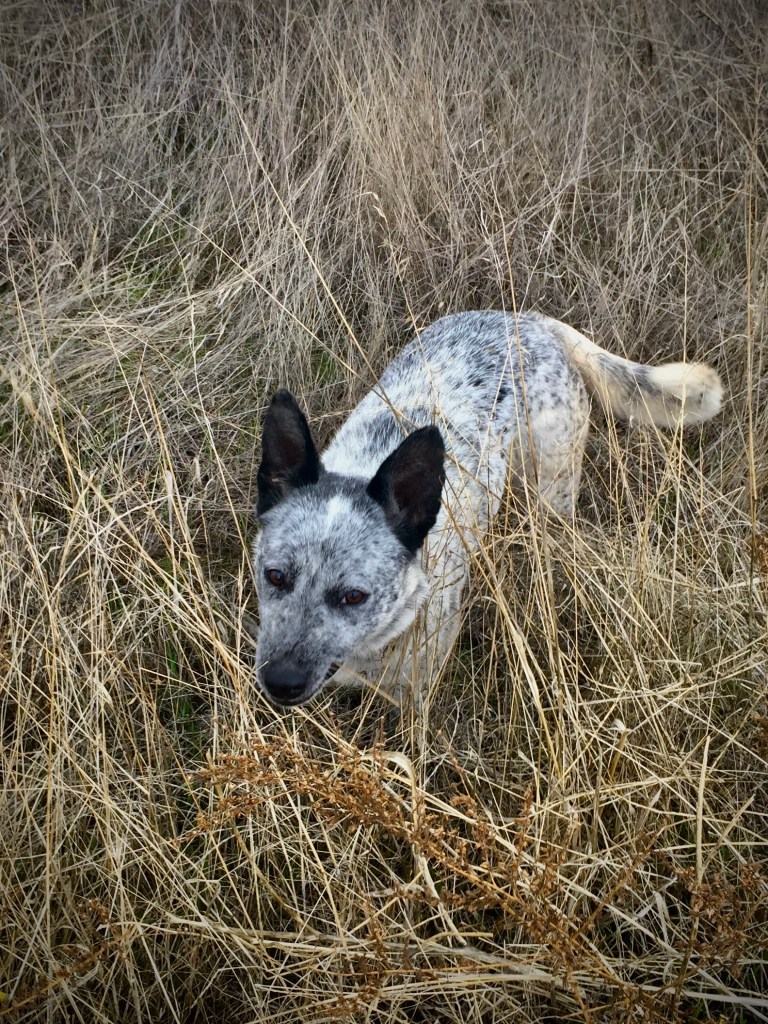
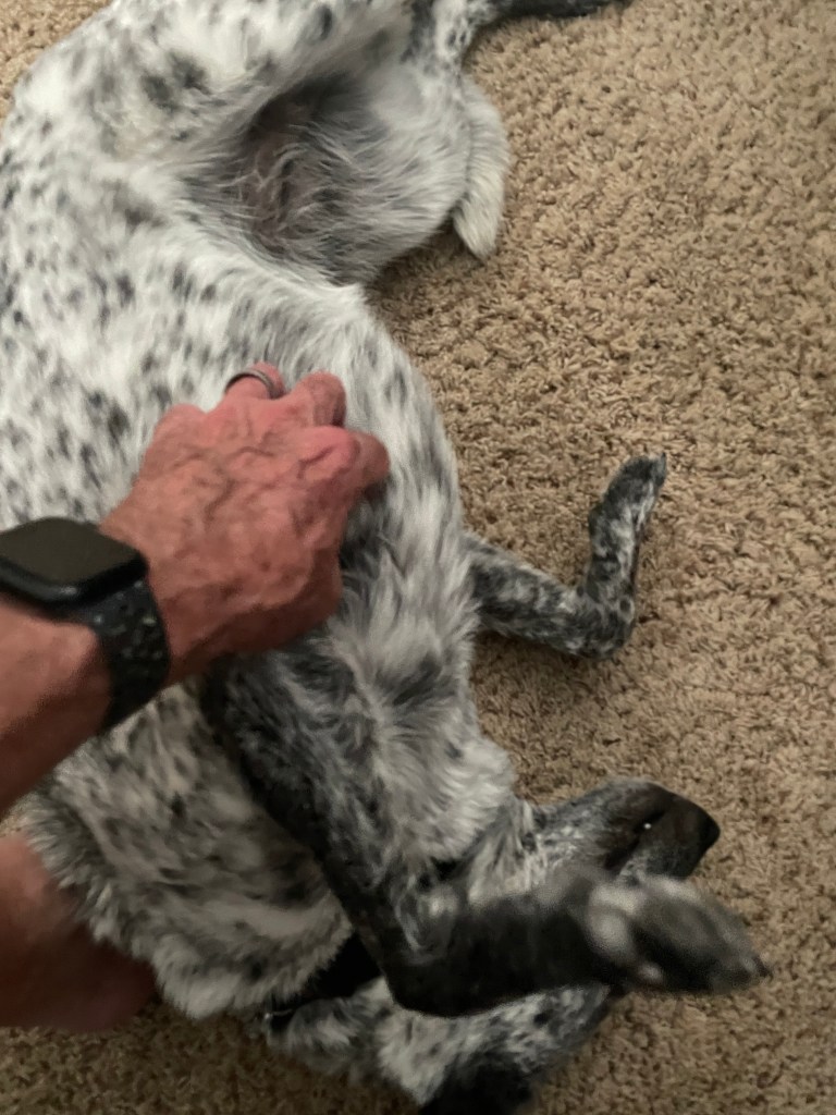
SoBe, The Blue Heeler

The Origin Story

December 4, 2018

Out of the Mystic

December 4, 2018… A cold, nearly winter, overcast Tuesday morning.  Bicycle rides on Tuesdays are routinely on roads less traveled east of my home in Merced.  On this day, there were three of us, Pete, Tom, and yours truly, on the saddles.  It’s apparently different from when on horseback you’re in the saddle that’s on the horse’s back.  

We were just making our way past the last of the pistachio orchards approaching the rangeland of the Sierra foothills when a little blue heeler spotted us, popped out of the rows of trees, and ran up to greet us.  

There’s no other way to explain my reaction other than it was love at first lick.  My second thought was I’m taking this dog home.  I’ve always had the notion of adding to the long list of Labrador Retrievers canine family members we’ve kept over the past 32 years, either a Standard Poodle or an ACD, Australian Cattle Dog.  

The Dilemma

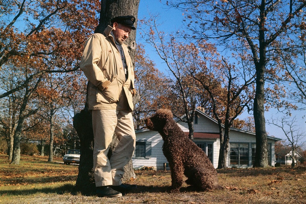
Why a Standard Poodle?  That’s easy, because of Charley, John Steinbeck’s Standard Poodle there for companionship and comic relief, was along for his journey in Travels with Charley.  

Though I was only six when Travels was published—I read it later in college—the book touches on themes of nostalgia, identity, and the complexities of post WWII America.  I vividly remember how Charley was more than a pet along for the ride. He was an essential character in Steinbeck’s assessment of the rapid change he witnessed taking place in post war America.  

Homeward Bound

Why an ACD? Because Bluey, who lived to 29, holds the Guinness World Record as the “Oldest (verified) Dog to have Ever Lived”. Since longevity is a characteristic of ACD’s, and Skidboot’s intelligence declared him the “World’s Smartest Dog,” Heelers are the very embodiments of hearty stock with brains. Labs are friendly and playful, Poodles smart and sophisticated, but they live on average for 12 years. Note: neither ever earned titles of longevity and intelligence.

Skidboot (top) and Bluey

Of course, I would end up doing due diligence, stopping by the few residences along South Bear Creek and asking if they knew to whom this little blue heeler, perhaps less than a year old, belonged. I would then place ads in the local newspaper and list her on social media as lost. And I would contact the local county animal shelter and SPCA about her status and advice on the statute of limitations for claiming a “found” lost dog.

But honestly, the little blue heeler wasn’t lost. She found me and I was prepared to suffer the two weeks that is required before you can claim “ownership” of an abandoned animal. I can’t explain the anxiety I experienced in those two weeks… It bordered on heartbreak akin to that I felt longingly for Molly and Godiva, our yellow and chocolate Labs lost to old age and knowing that dogs only occupy the physical world for a short time but live on in our hearts and memories. The longer they live, the greater the memories.

On the ride home with SoBe, reluctantly tethered to my side by a leash fashioned from roadside rope, she must have been wondering, “what’s with this thing around my neck?” She couldn’t imagine how her life was about to change. I don’t know what perils she faced before I found her so it wasn’t hard to accept her pulling against the rope while I struggled to stay upright. I knew it was this little ACD’s fate to securely join Luna and Dakota, another pure bred English yellow and black Lab rescue respectively, that would erase any of her anxiety and add to the joy of yet another member of our pack. We own a Subaru. We’re dog people.

At the corner of Plainsburg Rd and E. South Bear Creek, as I looked at the signpost marking the intersection, a perfect name appeared to me.  SoBe, from South Bear Creek.  No, I did not name my dog for an iced-tea beverage from South Beach.  I decided to call my wife to ensure safely bringing SoBe home as the traffic increases from this point to home.

The phone call went something like this:

“Hey sweetie, you’ll never know what I encountered on this morning’s bike ride,” “A damsel in distress…” I intoned.

“Oh, and so what is it that you needed to call me about your encounter?” my skeptical wife replied.

Thinking fast, I thought, “Well, I’m smitten with finding this pup’s home and since I’m getting closer to traffic, I thought you might be able to come fetch us in the Outback, you know, the dog friendly Subaru.” 

I was amazed and somewhat shocked when my wife, after sighing, agreed to leave her work to meet us at SoBe’s namesake intersection.  I knew she would resist my intent to keep SoBe.  She’s skeptical of my “great ideas” about 85% of the time.  So, I assured her that something this beautiful and sweet had to belong to someone. Only later I lamented the fact that SoBe was deliberately abandoned and she deserved so much more in life.  I leveraged keeping her on that basis.  My wife eventually relented.  SoBe reigned in that 15% of good ideas!

Welcome to your forever home Now, just make it through the next two weeks…

The Interloper

“Who is this?  She looks innocent enough?”  

While sitting out the two week statute of limitations, we had SoBe vaccinated and spayed.  With no response to two weeks of searching for her “owner” due diligence, we formally adopted SoBe, registering her with the county, getting vaccination tags and a name tag with our address and phone number.  

As spirited and fearless as a heeler can by way of breeding be, SoBe quickly adapted to adoption and membership in our pack.  Luna was the senior member but not the alpha. She was a goofy love bug.   Dakota was a few years younger, arriving at our home a few years after Luna.  She was a tad less jovial, nevertheless asserting herself alpha-like.  This perhaps because as a rescued mix of German Shepherd and Labrador Retriever she may have been a little less “refined,” more given to instinct.  

Boney, bone time

SoBe, bred to nip at the heels of animals a thousand times her mass, had chosen to be an unofficial “alpha,” age and/or instinct be damned, much to Dakota’s chagrin.  There was always tension simmering between the two of them that might erupt as play would escalate to combat, not unlike that of the sibling rivalry between our two boys.  Luna simply dismissed all of the dramatic posturing, finding Swiss-like neutrality leaving any quarreling to the late-comers.  

A Dog Is (for) Life

It is as though I find myself in the same circumstance as Steinbeck in my own  Sisyphus and Associates musings and screeds navigating encounters and insights, nostalgia and identity in contemporary America on my two-wheeled travels.  Having SoBe long for me as I long for her when we are apart, has given me a portal to gratitude that the evening news, now 24-7, robs from me. I have found out there, on the road, traveling through the West such generosity, encouragement, and genuine curiosity.  I have a sense that the America in the news or online, isn’t necessarily the America most of us know.  I just know that trust is earned when it comes to people.  When it comes to dogs, it’s just a lot easier to build.  Now, how to acquire a side car to bring SoBe along for the ride…

Time Flies Like an Arrow

Since those early days introducing SoBe to our pack, we’ve lost Luna and Dakota.  Well, sort of.  Their ashes, along with Godiva’s are in our closet awaiting a fitting internment.  Molly’s ashes are entombed in a boulder at the top of Chair 3 at Dodge Ridge where she spent her best years.  

My intent is to continue sharing SoBe stories.  SoBe is still with me, which means there’s more road to travel.  This isn’t just about finding SoBe; it’s about what she replaced, what she has filled, what she represents in the ongoing cycle of love and loss that comes with keeping dogs.  With all due respect to all of my family and friends, SoBe is my best friend.

12/8/25 Sisyphusdw7.com

In memory of Buddy, Bill and Ginger’s baby…

2025 Chasing the Perseids

Sisyphus and his Associate are on the road to the Ruby’s in NW Nevada

An August Ramble in the Sierra

Where, How Far, and When?

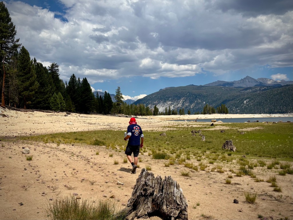
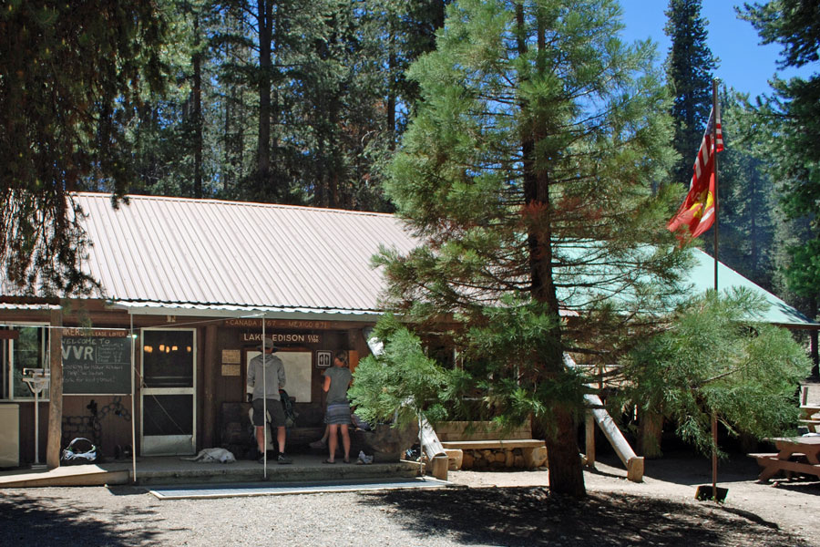
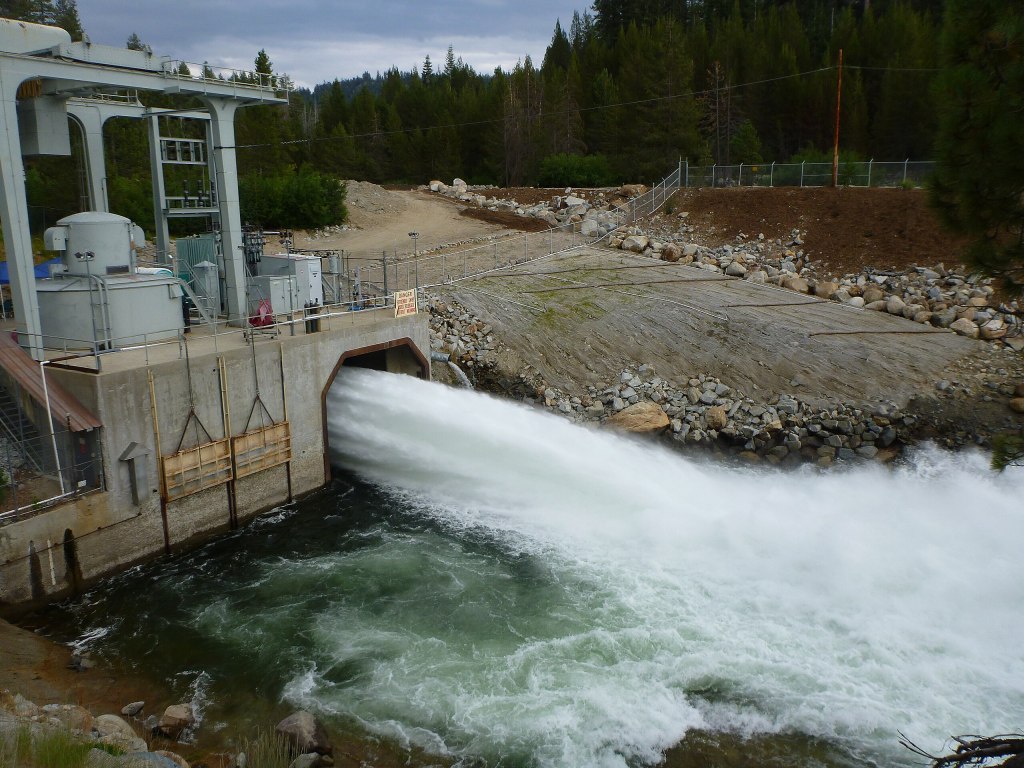
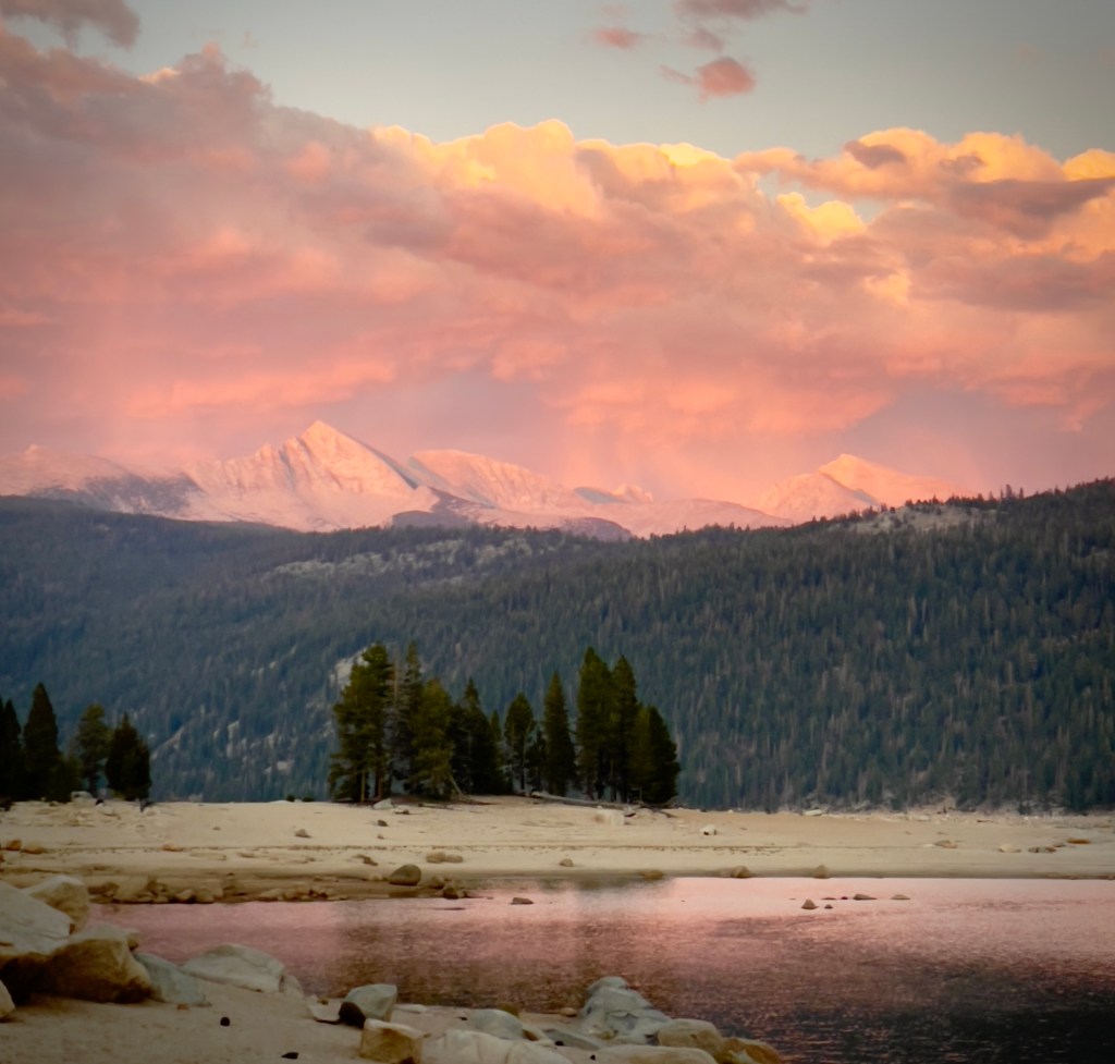
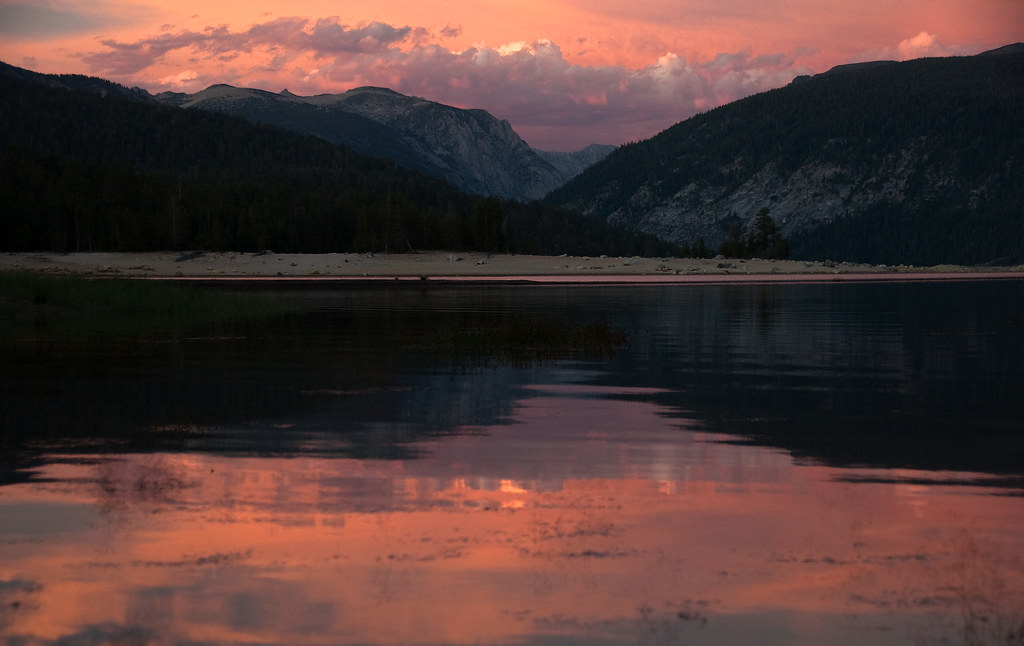
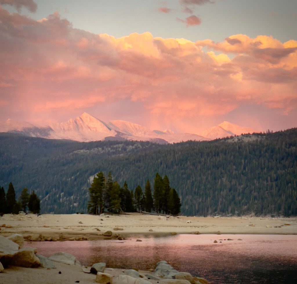
Lake Thomas A. Edison and the Mono Creek watershed

A recurring theme of Sisyphusdw7.com is place, distance, and time.  There’s meeting people, too. Concerning the long form of this blog, I’m no Peter Egan.  I admire Peter Egan as I admire John Steinbeck and Edward Abby.  There are many others, (Wallace Stegner, Gerald Haslam, John McPhee, Bill Bryson) all of whom write of their observations of place, in time, often in travel, some fictionalized, that inspires this modest fellow’s aspirations for travel observation in my time. 

While the clock and calendar cannot be denied, let’s see what Sisyphus is obsessed with these days now that there’s less of his future and more of his past.  

What Determines Where and When We Ride?

To move from one location to another, exposed as one is on a motorcycle, consideration of conditions within a region, the climate and the impact of geography determines where and when we ride.  Particularly over the reach of our explorations in the Western States, the majority of which involve camping on these exploits I have reported in Sisyphusdw7.com

Elements such as weather and climate, elevation and terrain, population and public and private land use, state boundaries and their individual laws and civic codes, and road surface conditions all combine to determine the routes we take.  We find ourselves rambling through regions as our best guess to where, how far, and when these elements will combine to yield the best results for a memorable ramble.  

How Far?

When considering how far we can travel, time is of course a huge determinant in the distance we can reasonably cover notwithstanding all of the other variables.  Using a somewhat knotty calculation, I arrive at an itinerary that is far from certain given any of those variables noted above that one might encounter.  Our motto:  Start slow and then taper…

Of the three rides planned for 2025, two are at present, complete.  The spring ride to Three State Parks, over five days in perfect weather along the central coast over good roads, with modest daily mileage, combined for a memorable ramble. 

The most recent summer jaunt, the August Ramble in the Sierra, three days in the Sierra over rough backroads was, despite a challenging sand crossing on Kaiser Pass Road, aces. 

More about that ride follows.  

A longer, seven day Ramble in the Ruby’s slated for early/mid September in Northeastern Nevada is too far out at at this time I’m writing to have reliable weather forecasts, but the unreliable 15 day forecasts are looking good.  So, it will be whether weather will determine where, how far, and because we’ve established when to roll, how this ramble in the Ruby’s will pan out.  

For the longest time, we wanted to head north and east to explore the basin and range of Northern Nevada, perhaps Oregon, Idaho, Montana and Wyoming.  

From your middle school math and science class, you may recall that Time = Distance / Speed. As the speed grows the time needed to travel a given distance will decrease and vice versa.  Come on Sisyphus, that’s intuitive, why all of the equation stuff? I taught middle school kids for 24 of my 37 years as a teacher.  I tried my best to impart the beauty of something that we take for granted, like time and motion, stripping it of the multitude of meanings to a simple formula that when applying a few data points, can lead to an irrefutable conclusion.  You know, like “there’s less of his future and more of his past”.  

 Remember, one of the variables listed above was individual state laws and civic codes and speed is governed in California and generally enforced.  In other words, enforced speed limits increase the time and reduce the speed and distance one can travel.  Not to mention the vagaries of weather, influences of terrain, road surfaces, and availability of food, fuel, and lodging whether camping or moteling

Whether the Weather

Long, lonesome, isolated desert roads are wonderful.  Unless it’s 100+ degrees or a state trooper decides you’ve exceeded the speed limit.  So, to travel at least near legal speeds, you really prefer cooler weather.

Crossing deserts is out at least until things cool down a bit.  Hopefully our September 7th departure for the Ruby’s will see a heat regime that’s settling in over Nevada and much of the southwest, abate, at least a bit. That’s about as far as we can allocate the time to make the distance with a nod to how weather variables get a bit more active as fall approaches.  Neither Sisyphus nor his associate are big fans of riding in hot, dry, and windy, or in cold, wet, and windy conditions.  

We also have a life off the motos and that life defines the elasticity of the calendar.  The week of September 7 through 13 works.  We can’t make Montana or Wyoming, but Northeastern Nevada ain’t bad.

From the itinerary I prepared the week before we departed on our most recent ramble to Lake Thomas A. Edison and the narrative describing the events:

Chasing the Perseids, An August 2025 Ramble in Sierra

Day 1 – Merced to Lake Thomas Edison

Merced to Lake Edison ~141 miles

  • CA-140 to Santa Fe Ave, Ave 26, and Rd 29.
  • Rd 603, Rd.400 to CA-145 E, and Rd 206 to Friant.
  • Millerton Rd, Auberry Rd to junction with CA-168 in Prather.
  • CA-168, Kaiser Pass Rd, Edison Lake Rd to Vermillion Campground
Elevation profile: Huntington Lake (left), Kaiser Pass, Mono Creek, Edison Lake

At 7:00 AM on Tuesday, August 12 we met at the Chevron station on Yosemite Ave. and G St. The temperature was a comfortable 60ish degrees.  In between the outset of the ramble and our destination the temps ranged from 65 to around 100 degrees. 

After a stop in Friant we enjoyed some cooling, in the shade. Exposed on CA-168, we reached some relief as elevation above Shaver Lake saw a twenty degree cooling.   At Huntington Lake (6,665 ft), it was in the mid 80’s in the sun, but shade provided another 15 degrees 0f relief. Once on the final leg to Edison Lake, intermittent shade from the forest canopy alongside the road made for comfortable, yet slow progress on what would be a goat path to Edison.  

By the time we reached even cooler temps, we had made it to Lake Thomas A. Edison, set up camp and began resting, rehydrating, and reflecting.  In other words, it was mid/late afternoon.  The breeze in the shade was delicious. The exposure to the sun, unrelenting until the sun began to set.

Remember T = D / S (Time equals Distance divided by Speed)?  Mostly obeying the speed limits along the route from our home that morning to Huntington Lake, where one encounters Edison Lake Rd, aka goat path, was a distance of approximately 116 miles taking roughly 2.5 hours, or 2.5 = 116 / x,  or an average speed of 46.4 mph (6th grade algebra). It seemed that there was a lot more rolling at 65 mph+, but speed limited zones and stopping to stretch and have a snack and some fluids will affect the average speed significantly.  Something Google Maps doesn’t take into account when calculating arrival times.

The road to Edison Lake took roughly (literally a rough road) 1 hr. and 45 minutes to travel approximately 23 miles or, 1.78 = 23 / x, an average speed of 8 mph.  Enough mathing already!

This is the 1½ sized lane

Kaiser Pass Rd is a single lane sometimes paved road to Edison Lake from Huntington Lake.  The road hits a steep 12% gradient and feels like a goat path for most of its length: 1½ lanes at its widest, winding, exposed, and riddled with potholes and large missing segments of pavement. The road was built in the early 1920’s as part of the Southern California Edison’s Big Creek Hydroelectric Project, and opened up access to the remote High Sierra. After two years of building, the road was completed in 1922, it enabled vehicles to reach deep into the mountains, connecting critical water resources and creating new recreational opportunities.

At the Pass

The first 5 miles are over a relatively smooth two-lane road, but the final 12 miles narrows to a curvy, paved single lane limited to as slow as is possible on the pegs to keep a motorcycle erect to a max of 20 MPH.

Three sections have dramatic cliff exposure. The decaying sections are pot-holed and to describe as rough is charitable.  There are sections where the road is covered by sand washed down from surrounding terrain.  There are other sections that have recently been repaved.  How the decision to repave was made is a mystery given the condition of the un-repaved sections.

Once past the Southern California Edison Portal Forebay and USFS High Sierra Ranger Station, the road narrows further and has many tight switchbacks with steep elevation gains; there are several blind curves carved out of the exposed granite with precipitous drop-offs opposite granite walls. 

One of the less perilous single lane stretches of Kaiser Pass Rd

We met several vehicles, head-on, coming down as we were going up.  Because we were a bit more nimble than the four wheeled vehicles, the majority of the cars and trucks we encountered were cautious and courteous, allowing us to pass safely. 

There were however several folks who seemed to have no concept of yielding to allow our bikes to proceed.  This, was you might imagine, stressful.  I took to laying on the horn as we approached the blind switchbacks hoping that the speed and windows of approaching vehicles were rolled down and sound systems were turned down listening to Metallica by spirited motorists in off-road behemoths.  

A First Encounter with the Gauntlett

Kaiser Pass Road is primarily paved, but there are some unpaved sections, especially as you approach the summit and beyond. The road can become rougher and narrower, particularly after the main summit area, where it transitions into a smaller track leading to Mono Hot Springs.

The bridge across Mono Creek just up from the Mono Hot Springs

After passing several sandy sections of road beyond Mono Hot Springs, there was a slight descent on a stretch of mysterious, recently repaved surface.  At the base of the descent, there was a section of about 30 feet of glacial sand washed over the road in what was likely deposited by a seasonal creek that flowed across the road.  Other sandy sections proceeding this one were easily negotiated as the depth of the sand was an inch or so atop the pavement.

In the lead,  I entered the sand cautiously, unaware of how deep it was.  It was not long before I lost the front end of the bike and nearly dropped it.  There were two tracks with berms in the middle and on either side. I heard Pete in the coms shouting, “I’m down,” behind me just as he entered the sand. 

Since I was supporting some 600+ pounds of motorcycle and gear with my left leg, the bike at a 45 degree tilt, after asking Pete if he was okay, I implored him to make his way as quickly as possible to assist me righting the Moto Guzzi as my boot was slipping in the unstable sand.  I didn’t want to drop the Guzzi. 

Pete climbed from beneath his V-Strom and rushed over to me. We were able to get the bike upright and I made my way out of the sand, carefully clutching and reeving the Guzzi with Pete pushing me to stable pavement.  I then threw down the kickstand to help Pete with his V-Strom that was lying on its side.  About that time a good samaritan who earlier had pulled over allowing us to pass, stopped his car and helped us push Pete’s bike as he cautiously throttled, however, spinning the rear wheel in the soft grit.  Grit that made its way to my face.

As usual, a malfunctioning GoPro I thought was capturing this leg of the ride wasn’t recording…

I found this short video on YouTube.  It will give you an idea of what a portion of the Kaiser Pass Road looks like.  Shout out to Alexander Avtanski for sharing.

Kaiser Pass Road by Alexander Avtanski

The Vermillion Valley Resort

Nice Mailbox

Arriving at the Vermillion Campground just above the VVR we found it was sparsely populated.  Our campsite, selected over the interwebs, was like all of the other campsites, except Site 25 was completely exposed to the afternoon sun.  Ideal for Perseid meteor watching, but a tad warm for setting up camp.

There was a small parking area, a table, a fire ring, a steel bear box, and a couple flat spots to pitch tents.   Despite few occupied sites throughout the campground, there were tags indicating reservations of up to a two week span including and following our two night reservation.  

Home Sweet Homelessness

We thought about poaching a shady campsite that was reserved for a period after we would be leaving.  So we hiked back to the Camp Host, who was nowhere to be found, to share our intent.  Deciding to not cause any confusion for the host as we would vacate our site spending the next day riding back to Mono Hot Springs then to Florence Lake to explore, we kept Site 25.  

The Beasts What Got Us There

Since we were hunkered down for the afternoon we decided to stroll back to the Vermillion Resort to rehydrate, relax, and reflect on the day’s ups-and-downs and check out the dinner menu and beverage cooler.

SysiphusDW7 strolling along the shore of Lake Thomas A. Edison

From the  National Geographic Sierra Nevada Geotourism page:

For those hungry hikers and campers, we [Vermillion Valley Resort] offer fresh baked pies and wholesome hearty meals at the restaurant which is open to both guests and the general public. The VVR Camp Store offers basic grocery supplies, hiker resupply foods and supplies, ice and fishing gear, t-shirts, maps & books. And, most importantly, we offer one of the largest selections of micro-brews and locally-brewed beers in the Sierra Nevada.

They had us on “largest selections.”

Dinner that night was a choice of spaghetti with a meat marinara or a tofu salad. There were micro and locally-brewed beers in this decidedly remote spot in the Sierra National Forest, miles from the equally limited services at Mono Hot Springs. Though the “largest selections” part was a bit of an exaggeration. We opted for the bisguetti.

Huntington Lake or Shaver Lake would have a greater variety of choices for mangia and beve, but the laws of supply and demand provided food and beverage at 7,600 feet at a cost one might associate with a Giant’s game at Oracle Park. The quality of the dinner was surprisingly satisfying.

The Vermillion Valley Store

The free backpacker’s campground in front of the store was chock full of hikers who were preparing to hike out, those who dropped off of the Muir or Pacific Crest trails to resupply, or posers pretending to be hikers for the free camp space, many of whom shared this night’s fare.

Lake Thomas A. Edison

View into the Mono /recesses

The Vermillion Valley Resort (VVR) is at the trailhead to the Mono Recesses and is a resupply site for hikers on the Pacific Crest Trail.  Lake Thomas A Edison (also known as Edison Lake) is a reservoir in the Sierra National Forest and in Fresno County, California.

The reservoir’s waters are impounded by Vermilion Valley Dam, which was completed in 1954, 71 years ago, (No need to subtract, I know this as I was born in 1954).

The reservoir and dam are part of the Big Creek Hydroelectric Project. The project is operated by Southern California Edison.  The reservoir discharges into Mono Creek, a tributary of the South Fork San Joaquin River. However, some of its water is diverted to Huntington Lake by means of the Ward Tunnel that follows a section of the Edison Lake Road. 

The Ward Tunnel power plant discharging into Huntington Lake

Today, these facilities include 27 dams, miles of tunnels, and 24 generating units in nine powerhouses with a total installed capacity of more than 1,000 megawatts. Its six major reservoirs have a combined storage capacity of more than 560,000 acre-feet (690,000 dam3).  The waters of the San Joaquin River eventually find their way to the Central Valley to irrigate crops after providing recreation on those six major reservoirs.

Edison Lake from the dam

The lake is three hours away by car from Fresno.  Five hours away by motorcycle from Merced. The road in, CA-168, crosses Kaiser Pass (elevation 9,175 feet) and closes during the winter months.

A separate road off Kaiser Pass Rd forks off to Florence Lake.  The United States Forest Service does not recommend Kaiser Pass Road for buses, large motor homes, or vehicles towing trailers.  We were amazed at how the Mono Hot Springs and Edison Lake infrastructure was hauled up the hill on that narrow path the feds now recommend to avoid.  I guess the railroad that was built into the area and since abandoned made for hauling the really big stuff.

A ferry crosses Lakes Edison and Florence twice a day that may be inactive due to extreme low levels of water providing travel service to/from the trailheads and can be arranged through Vermillion Valley Resort or the Florence Lake Resort when open. 

Florence Lake

Hikers may follow a trail along the north side of the lake for trail access, linking Vermilion Valley Resort with the John Muir Wilderness trailhead and providing access to and from the John Muir Trail and Pacific Crest Trail. I’ve used the ferry service at both lakes on a couple of backpacks.  It was worth it, especially on the return leg.

Chasing the Perseids

Since we were in the high Sierra during the annual peak Perseid meteor shower (See 2024 Perseid Meteor Shower last year’s trip to Bridgeport) we were prepared for a feast of streaking meteors as the skies darkened, at least until the waning crescent moon rose.  It was a comfortable 60ish degrees as the sun began to set.  Clouds that had been building since morning were now reflecting the light filtered by the atmosphere giving everything the alpenglow that is characteristic of sunrises and sunsets in the Sierra.  We were pretty sure it wouldn’t rain and that the clouds would dissipate before prime viewing time.

Clouds but no rain

As temps dipped into the fifties, we did see a few meteors along with many UAP’s (satellites and aircraft as usual) crossing the night sky against the backdrop of the Milky Way.  Since we didn’t have a fire permit, there was no campfire to mesmerize us and after downing the last of our $12/can beverages, we retired with the intent of visiting Florence Lake after breakfast the next day at the Mono Hot Springs

Day 2 –  More Sand and a Change in Plans


We did a quick calculation of our fuel levels as we got underway Wednesday morning given that the closest gas, we assumed, was at Huntington Lake. We assumed, since on the previous day we saw vehicles refueling.  To get to Florence Lake we had to travel 19 miles back up and down the goat path.  To get back to Huntington Lake was another 28 miles of goat path.  Fuel consumption at 10 mph over the undulating terrain was much less than the 45+ mpg we would normally get on flatter terrain.  

Our plan was to have breakfast at the Mono Hot Springs Resort then head down to Huntington Lake for gas, just to be on the safe side.  The restaurant wasn’t open, however, the cook was making breakfast burritos that were available at the Mono Hot Springs Store filled with a modest inventory of snacks, camping, hiking, and fishing supplies and T/sweatshirts.  The store, not the burritos. Oh, and beer.  

I asked the cashier what they did with all of the inventory in the store when winter closed the road and the resorts were emptied.  She said they put non-food items in bins on the highest shelves and any perishable food items were taken down the hill.  Non-perishable items were stored in a metal shipping container.  Apparently flooding and bears are active during the winter months.  Also there is no caretaker who stays for the winter.  The store and restaurant are routinely broken into by hungry bears, like Yogi, in search of pick-e-nick baskets.  

Onward to conquer the Gauntlet!

After a hearty breakfast burrito we began the descent to Huntington for gas.  Once again we were faced with what Pete referred to as “The Gauntlet”, that sandy section of Kaiser Pass Rd we unsuccessfully encountered the day before. 

We decided the best strategy was to slow down to a pace where we would “waddle” through the sand, keeping our feet down, essentially walking the bikes through the sand keeping handlebars straight and with a steady throttle.  

Pete went first successfully making his way across.  I entered and about two thirds of the way through, I crossed from the left wheel track left by four-wheeled vehicles, hitting the center berm and dropped the Guzzi, my right arm tucked into my ribs, as the weight of the bike pressed me into the right wheel track berm.  Though the bike was lighter since I ditched the two side cans, it was nevertheless, OUCH!  

I was immediately reminded of A Moment’s Inattention where in 2022 I broke my right ankle, three ribs, and injured my right shoulder missing the apex of a tight hairpin low speed curve.  Fortunately the sand was much more forgiving than the roadside near Lake Nacimiento and my speed was essentially zero. 

I did feel pain in my ribs, but the adrenaline was flowing and after righting the bike, we made our way to Huntington Lake only to find that the gas pump that was operational the day before when we stopped at the China Peak Landing was shut down.  Our only option was to ride some 26 more miles down to Shaver Lake for gas.  Bummer Batman!

Since it was noonish by the time we made it to Shaver Lake, we topped-off our tanks.  What?  I had two gallons left in my 5.5+ gallon tank even though the fuel indicator on the TFT said I had less than 60 miles left in the tank…  Pete decided to grab slightly less expensive beverages for the evening rest, rehydration, and reflection meteor sighting session to make amends.  

Upon our return to camp the Gauntlet was approached for a third, with even greater caution, time.  I led waddling my bike, step-by-step, straight as an arrow in the right side wheel track, successfully crossing as did Pete who followed.  Too bad it took two failed efforts to figure out the key to deep sand crossings.  

Dinner back at the VVR was chicken parm or a tofu wrap.  The carnivores opted for the parm.  The way dinner worked was when a bell was rung, you scurried to the register to give your name and dinner selection.  Then, after maybe a 20 or so minute wait, the chef would shout your name from the kitchen.  We enjoyed modestly priced Miller High Lifes (Lives?) at $5 each as we patiently waited enjoying the rhythms of the VVR. 

There is an internet hub at the resort with several charging towers and for a fee, starting at $10 dollars for two hours of service.  Needless to say there was nothing on Netflix that either Pete nor I wished not to miss.  Nothing, nor, not?  A triple negative?

After witnessing a finger-into-the-chest, ass-chewing by one of the VVR staff ostensibly over an alleged graffitiing of the rest/shower room by one of the blokes in the interned shed, who needed the contrived drama of a Netflix flick?  We saved $10 staying off-grid, enough for two more Millers, but opted for two Arrogant Bastards.  That put us $12 in the red.  But mom, the magic beans were at least equivalent in value to the cow if not more valuable.

Random sights along the shore of Lake Thomas A. Edison

The meteors and UAP’s were pretty much the same as the night before.  A mom and three-year-old daughter on a Strider bike whose family arrived after dark the night before to an adjacent campsite, were enjoying a little romp around the campground road.

The three year old was fearless as she descended a gentle slope back to their campsite. Mom commented that her fearlessness was likely the result of their neighbor’s young boys who had built a modest BMX course in there front yard back home. Apparently the little girl joins them on her strider attacking the jumps with gusto. I speculated to mom that a moto may be in her little one’s future. Mom cringed…

At around the time the generator at the VVR shut down at 10:00 pm, we decided to retire since tomorrow we would break camp and return home with the prospect of one more crossing of the Gauntlet to shape our dreams. 

Nite-nite

Day 3 – The Myth of the Gauntlet

Florence Lake Home ~156 miles

  • Via Ca-168 to Auberry and Powerhouse Rd., Rd-222, to Northfork Rd., to Rd-221, to Teafords Saddle Rd., to Crane Valley Rd., to Rd-226 to Oakhurst.
  • CA-4-/49 to Mariposa, CA-140 home.

After a decent night’s sleep except for some rib irritation, breaking camp proceeded, fueled by JetBoiled cafe mochas;  Roughing it as it’s known in the post Mark Twain West.  

We toyed with the idea of going to Florence Lake (El 7,300 ft) but the Florence Lake Resort, even more spartan than the VVR, was closed.  We figured that the road to Florence Lake was likely less maintained than the road to Edison Lake and decided to skip the trip, opting to make our way down the hill before the afternoon heat would make the final 95 mile slog home unbearable.  

When we arrived in Shaver Lake, we had a bite to eat at The Hungry Hut.  A buuuurger for Pete and a BLT for me.  Tasty.  

The ride from Shaver on CA-168 was thrilling since riding at or near the speed limit was different, in fact exhilarating, from the limit to speed imposed by the goat paths we’d been on for a couple of days.

 After a quick stop in Friant to enjoy a beverage and soak our evaporative cooling vests, we tackled the dry and dusty foothills and flats of the valley.  The thing about a cooling vest is that while it does serve to provide the sensation of cooling, it is much like the swamp coolers of my youth.  The cooling is tempered by the clammy humidity the vest generates under the mesh jacket.  But it beats the feeling of being in an air-fryer.  

When I arrived home and pulled into my driveway, the temperature gauge on the Guzzi indicated 99 degrees.  And just like that, a warm greeting from SoBe and a cool shower buttoned-up another memorable ramble by SisyphusDW7 and his Associate, Pete.

Cheers!

Coming up on Sisyphusdw7.com, The Ramble in the Ruby’s

2024 Red Rock Canyons Spring Ramble: Ride, Camp, Repeat

The journey of a thousand miles begins with a single step, a proverbial phrase fittingly describes the writer’s extensive desert adventure. Facing wintry challenges, they embarked on a meticulous journey, blending familiarity with the unfamiliar for an enriched experience. From Red Rock Canyon State Park in California to the Red Rock Canyon National Conservation Area in Nevada, the trip featured unique geological landmarks, encounters with motorcycling enthusiasts, and unexpected surprises along the way. Amidst the landscapes, historical sites, and wildlife encounters, the narrative captures the essence of exploration, camaraderie, and personal reflection. Reflecting on both the joy of seasoned travel and the allure of venturing into the unknown, the writer shares their aspiration for a future adventure, blending nature’s diverse offerings and the prospect of new companionship.

The content provides insights into the challenges and pleasures of the extensive desert trip, offering a captivating blend of personal experiences, historical references, and geographic details.

April 7 – 12

“A journey of a thousand miles begins with a single step” is a common saying that originated from a Chinese proverb. The quotation is from Chapter 64 of the Dao De Jing ascribed to Laozi, although it is also erroneously ascribed to his contemporary Confucius. (Thanks Wiki…)

This saying teaches that even the longest and most difficult ventures have a starting point; something which begins with one first step. 

This spring’s first step took place as the holidays (Thanksgiving and Christmas, 2023) following Austin Bound, Austin Nevada That Is, launched me into planning our next winter/spring desert adventure.  Winter’s heavy snowpack was still blocking the familiar Ebbitts, CA-4/Monitor, CA-78, Sonora, CA-108, Tioga, CA-120, and Sherman Pass Rd, Forest Rte 22S05, all passes we’ve taken from our home in the Central Valley of California to cross the mighty Sierra. Late winter/early spring storms threatened closing our more familiar southern routes including Alta Sierra, CA-155, and Walker Pas, CA-178.  Tehachapi, CA-58 would only be considered in desperation to avoid defeat.  

Timing, as they say, was everything.  Variables informing my route planning included setting a week’s worth of time for a journey of a thousand miles with calendar approvals from the invitees, a cautious eye to 15 day weather forecasts, securing what has become the nuisance of a campsite reservation (given our age induced entitlement, we don’t boondock), and deciding what new features of riding, camping, and repeating would make this spring trip to the Mojave different from those of the past. 

I’ve always wanted to compare California’s Red Rock Canyon State Park to Nevada’s Red Rock Canyon National Conservation Area.  Note that there are “Red Rock Canyons” in California, Nevada, Arizona, Colorado, Utah, perhaps multiple-named features in each state and probably anywhere else there’s oxidized iron in the soil through which a river once flowed.  Laozi would be proud of narrowing the scope of our journey of a thousand miles to just two red rock canyons in two states.  

This tour’s invitees included Pete and Andy.  Pete was “from-the-get-go” a go after prodding him to actually look at a calendar and check in with his partner Cheryl to clear seven days.  Andy was crickets until two days before our planned departure after indicating he’d be available after his wife Toni’s birthday in early March. But he bowed out due to an odd impairment from dragging baggage in Guatemala.  That’s an excuse for the books…

If you have followed the exploits of Sisyphusdw7.com, then you are familiar with Pete and Andy.  Pete rides a Suzuki V-Strom and Andy sports a Moto Guzzi Norge while I mount on a Moto Guzzi V85-TT.  You’ll also be familiar with Andy’s absence on all but one trip, Riding Under a Fool Moon, and Pete’s perfect attendance on each moto adventure I’ve chronicled on Sisyphusdw7.com since its inception in 2016.  Next time, eh Andy?

Click the links of the daily headings to see the route maps.

Day 1, Merced to Red Rock Canyon State Park

Red Rock and sandstone Hoodoos

The first leg of the journey of a thousand miles began at our usual meeting place, the Chevron station on G St and Yosemite Ave in Merced.  There happened to be four fellow bicycle riders who were meeting for a Sunday morning ride when I arrived to meet Pete.  Loaded and ready for rambling, as is often the case describing our plan to our cycling friends, a faraway look in the eyes of one of the bicyclists was punctuated by, “I wanna go! I wanna go!”  

This first step of the journey included some 200 miles through the San Joaquin Valley floor skirting farming communities of Dos Palos, Firebaugh, Mendota, Tranquility, Lemoore, Corcoran, Allensworth, and Wasco.  We even passed near the community of Neufeld, perhaps named for members of Andy’s farming lineage.  Passing by Corcoran, a lake called “Pa’ashi” by the indigenous Tachi Yokut tribe, that had disappeared 130 years ago from California largely by way of the diversion of the Kings, Kaweah, Tule, and Kern Rivers for irrigation and to a lesser extent, periodic drought, and now, after a series of severe weather events in 2023, the lake had returned.  

Images from NASA’s Aqua satellite orbiting the earth show the progression of flooding in the Tulare Lake Basin from March 2 through April 28, 2023

As a result of mitigation by stakeholder groups, the lake is now receding.  What may also be receding are dreams of high speed rail in California as funding of the controversial project is questioned.  Below is a drone image courtesy of hsr.ca.gov taken near Wasco in the southern San Joaquin Valley where the viaduct is being constructed to raise the rail-bed above potential flooding.

Could this become the high speed rail to nowhere?

Leaving the valley, we traveled another 100 miles through the pump-jacks of the Kern River Oilfield, along the outskirts of Oildale, through the Kern River Hart Memorial Park, and then meandering through the Kern River Canyon past Lake Isabella, over Walker Pass on CA-178, to south on CA-14, all en route to our first campsite at Red Rock Canyon State Park.  The California version of a Red Rock Canyon.

Many of the pump-jacks appeared to be new and they were dipping and rising en masse in what must be the expression of how us ‘Meri”can”s have nearly achieved oil independence.  Who needs high speed rail when up through the ground comes a bubblin’ crude?  Just in case, I’m joking.  Though I ride a fossil fuel consuming motorbike, I support alternatives for mass and individual transit (high speed rail and bicycles) that don’t entirely depend on the crude.

The Kern River Oil Field covers an area of 10,750 acres (43.5 km^2) in a rough oval extending over the low hills north-northeast of Bakersfield, in the lower Sierra foothills, hills which are now almost completely barren except for oil rigs, drilling pads and associated equipment. This area is the densest operational oil development in the state of California: Midway-Sunset southeast of the Kern River oilfield, which has more wells, is almost three times as large in surface area, for a lower overall density.

There are others, like the McKittrick fields I’ve featured in a previous Super Bloom post. Yielding a cumulative production of close to 2 billion barrels (320,000,000 m^3) of oil by the end of 2006, it is the third largest oil field in California, after the Midway-Sunset Oil Field and the Wilmington Oil Field, and the fifth largest in the United States.  Its estimated remaining reserves, as of the end of 2006, were around 476 million barrels (75,700,000 m^3), the second largest in the state. It had 9,183 active wells, the second highest in the state. The principal operator on the field is Chevron Corporation.  (Thanks Wiki…) 

The contrast between the verdant ag lands of the valley floor and the desolate oilfield, from which the last barrels of carbon were being extracted, is striking.  For a detailed history and updated production figures, check out:  Kern River Oilfield.  Our impact on the environment for feeding our civilization is fragile when you consider that as few as 150 years ago the indigenous peoples of the region lived in relative harmony with nature.

The temperatures were just right until we began climbing up to Lake Isabella.  Clouds and a passing cold front made for a chilly section of CA-178, the Kern Canyon Road.  Along with a couple of “Roadwork Ahead”, “Prepare to Stop” signages as two lanes merged into a single lane, a chilling scene unfolded as we came upon a motorcyclist who was writhing on the road having apparently been thrown from his bike that was lying against the canyon wall some hundreds of yards away…

Be careful out there… (Pardon the expletive), with the Steve Miller Band, Further On Up the Road

Once we made it to the divided four lane portion of CA-178 as we approached Lake Isabella we experienced a brief respite from the twisty canyon road traffic traveling down the Kern River Valley with a lunch stop at The 178 Bar and Grill.

The sun broke through the clouds and we enjoyed a little thermal respite besides that transmitted through heated grips on the motos.  It’s always a challenge to insulate against the cold and heat when moving from one elevation/climate zone into another, namely the Sierra to the Mojave, regardless of the season.  Passing through the small lakeside communities of South Lake and Waldon, we then passed through the more rural agricultural communities of Onyx and Canebrake.  It’s there we began the climb over Walker Pass (el. 5250 ft) where, coincidentally, the Pacific Crest Trail intersects.  

The pass was charted as a route through the Sierra in 1834 by Joseph Rutherford Walker, a member of the Bonneville Expedition who learned of it from Native Americans. Walker returned through the pass in 1843, leading an immigrant wagon train into California. In 1845 the military surveying expedition of John C. Fremont used the pass. He suggested it be named after Walker.  Walker Pass was used in 1861 by cattlemen from the San Joaquin Valley and the Tejon region of the Tehachapi mountains to drive cattle to the silver boomtown of Aurora near Mono Lake.  Aside from the paved road, the pass is essentially unaltered since Walker mapped it in 1834.  (Thanks Wiki…)

Join Sisyphus with Dwight Yoakam and Neil Young on a hyper-ramble over Walker Pass

The view from Walker Pass to the vast expanse of the Mojave desert is stunning. 

At the intersection of CA-178 and CA-14 we headed south, arriving at Red Rock Canyon State Park in just a few minutes.  This state park has no reservation campsites, however, each site has a table, potable water and pit toilets are available, some even open air stalls!  There is a fee that we paid, including a $2 senior discount and our reasoning that since a second vehicle added $6, our two 2-wheeled motos were the equivalent of a 4-wheeled vehicle requiring no additional fee.  Having no pen or pencil we left the envelope in the drop box (duh) keeping the tag just in case a friendly ranger or maintenance worker checked in with us suspecting turnstile jumping dirtbag motorcyclists.  

The campsite at Red Rocks State Park in eastern Kern County

The area was once home to the Kawaiisu people. Some petroglyphs and pictographs are found in the El Paso Mountains and represent ritual sites from ancestors of the Coso people were early indigenous inhabitants of this locale. They created extensive carvings in rock within the El Paso and neighboring mountains of Red Rock Canyon and conducted considerable trade with other tribes as far as the Chumash on the Pacific coast.

The colorful rock formations in the park served as landmarks during the early 1870s for 20-mule team freight wagons that stopped for water. The park protects significant paleontology sites and the remains of 1890s-era mining operations.

Providing several unique, dramatic areas, and close to Los Angeles, since the 1930s Hollywood has frequently filmed at Red Rock Canyon, including motion pictures, television series, advertisements, and music videos. (Thanks Wiki…)

And of course, here’s one of my very favorite programs filmed in the Red Rock Canyon State Park, Huell Howser’s Golden Parks episode

A blustery welcome to our first night campsite on the Red Rock Canyons Ramble…
Pete’s selfie-ish photo that might have broken the internet if only he had social media…

The nearest provisions were at the Jawbone Canyon Store, whose motto is, “Let them eat dirt!” around 7 miles further south on CA-14. That is where we thought we were going to get our dinner and 3R’s beverages after setting up camp.  By then the wind was howling out of the south.  When we arrived at the store that is popular among the ORV crowd around 5:30 pm, on this Sunday, the store was closed, so I guess, eating dirt was our option. 

A quick search of Google Maps indicated that California City, about 14 miles further south, appeared to be a settlement of some consequence, so off we went battling sidewinds as the sun began to hug the western horizon. 

After fueling up, procuring our favorite beverages, along with a bag of Fritos and a bundle of firewood at the One Stop Market, apparently in the midst of billion dollar lottery fever given the size of the crowd buying quick-picks, we headed back to camp after a 340 mile day.  Fritos would have to do as our hearty lunch in Lake Isabella would sustain us…

3-R’s and combustion

Twas a bit windy through the night, however as the sun arose on Monday morning, the wind had settled down.

Good Morning Red Rock Canyon State Park
Neither Pete nor I are paleontologists, but are both fans of the Flintstones. We agreed we had found the remains of stegosaurus rubrum
There are some rocks worthy of being described as red…
Ill mio bella rosso moto…

A shorter day by ~100 miles lay ahead as we planned to sprint south on CA-14 to Redrock-Randsburg Rd en route to dawdle a bit in Randsburg on our way across Death Valley to Shoshone, one of our favorite stops.

Randsburg California, or Rand Mining District as it is also known, is considered to be a “Living Ghost Town”. Holding on to the very brink of existence, this small mining community is located in the Northern Mojave. Outdoor recreation booms here: ATV, dirt bikes, 4x4s, motorcyclists. RVers & car clubs are welcomed. Weekends can be busy with tourists, local horsemen & desert dirt boys, but on week days you’ll have the place to yourself. An old fashioned soda fountain at the general store & a real old west saloon, hours vary with season. The Joint is the local bar. Randsburg is a great place for interesting desert photography. (Thanks to the Randsburg.com website, the domain for which is 4-sale)

It was around 9:00 am on a Monday morning and in spite of the promotion about how people are dying to go to Randsburg, not a creature was stirring, not even a mouse.  Wait, there was a dog barking at us from afar.  We did pretty much have the place to ourselves except for a couple of local spirits.

Pete was intrigued and wondered how much was that little Yamaha in the window. The Bulltaco was probably a better deal…

Is that an apparition appearing in the photo?

Next we were off to Trona on, what else but, Trona Rd and our favorite Trona cafe, Esparza’s for breakfast. You could consider that Exparza’s has a lakeside location.  Except for the fact it’s Searles Lake.  What the restaurant lacked by way of a view was more than compensated by the delicious fish tacos.  I only hope they weren’t fresh from Searles Lake…

Eclipse? What eclipse? I’m here for the tacos

From there it was off to Death Valley via Trona-Wildrose Rd with a tailwind for a change. At the intersection of the Wildrose entrance to the park and the CA-190 Townes Pass entrance, there appeared a sign warning against the faint-of-heart tackling that route.  We came upon a couple who we speculated were on rented Harleys, harleying their way to Death Valley, in full Haley regalia; riveted black leather jackets with fringe and matching chaps, hers with fringe, the chap’s, fringeless.  They came to a sudden and mildly confused appearing stop as we approached at customary cruising speed on those long lonesome straightaways, safely under 100 mph.  We passed, losing their tableau in the rear view mirror.  I hope they chose well.  It would be sad if they suffered like those bleached Randsburians…

Right on CA-190 and the first real “super-bloom” was evident.

Panamint Valley superbloom

Geraea canescens, commonly known as desert sunflower, hairy desert sunflower, or desert gold, is an annual plant in the family Asteraceae that was showing off.  Telescope Peak from the west, sporting some late spring snow, is still feeding Lake Manley on its eastern flank.

Death Valley was in the very pleasant mid-60’s when we arrived in Furnace Creek for a fuel stop.  Ill Mio Rosso likes expensive stuff.  Pete’s V-Strom uses the budget stuff.  

Yikes! The downside of supply and demand

We contemplated taking CA-190 to Death Valley Junction, then CA-127 south to Shoshone.  But, seeing an actual Lake Manley in Badwater was something worth the slightly added distance, heat, and traffic. 

Channeling Ansel Adams, Pete busied himself composing a photo of the Seldom Seen Lake Maley as we pealed away layers of insulation.

It’s sometimes hard to capture the scale of the vastness of terrain, especially that of Death Valley. Below is  Telescope Peak from the east at 11.049 feet taken from 282 feet below sea level at Badwater with Manley Lake in middle-ish ground.

The remains of Lake Manley’s source topping Telescope Peak in the Panamint Range

In no time we made our way on Badwater Rd to Jubilee Pass Rd, the continuation of CA-178 to CA-127 then south to The Shoshone Trailer RV Park.  I’ve noted that Shoshone is one of our favorite destinations.  The campground is perfect, the Crowbar has the best eats east of Trona and the Chas Brown Market can provide for all occasions including offering a geode for $2800.  If I had space for it on the Guzzi, well, maybe.  We settled on procuring beverages for the 3-R’s. I’ll ask my grandaughter how to take a selfie without looking at your trigger finger… The lens needs some attention.

Day 3, Shoshone to Red Rock Canyon National Conservation Area

Good Morning Shoshone!
Calico Hills trail (Thanks Wiki…)
Aerial view of the Red Rock Canyon National Conservation Area near Las Vegas, Nevada, looking northeast (Thanks Wiki…)

A short 86 miles to our next destination, the Nevada version of a Red Rock Canyon, commenced by heading east on the Old Spanish Trail Hwy.  We soon learned there was no breakfast to be found until we reached Blue Diamond the nearest community serving the National Conservation Area.  The community includes a park, private pool, library, elementary school, event hall, church, and a mercantile/gas station. The mercantile (general store) was built in 1942 and originally sold household staples and sundries to residents who were mostly miners at the Blue Diamond Mine. The store has maintained its original external look. Walls inside the store showcase many of the town’s historical photos, courtesy of the Blue Diamond Historical Society, an all-volunteer organization.  

Cottonwood Station is a local scenic eatery in the historic village of Blue Diamond, minutes from Las Vegas. Near Red Rock Canyon and Spring Mountain Ranch State Park, Blue Diamond attracts many hikers, mountain bike riders, road cyclists, and guys on motorcycles, like us.  There was, to our surprise, a large upscale Trek store next to the eatery.  Drop by the Cottonwood Station for a latte while waiting for the wrenchers to adjust your electronic shifters and hydraulic brakes I reckon…

The breakfast pizza was killer! Pete still searching for the eclipse…

From Blue Diamond it was just a few miles to our campsite in the Red Rock Canyon NCA.  After procuring a couple of whistle wetters at the Blue Diamond Market where the cashier shared that they would be closed by 5:00 because the owner didn’t want to pay her until 8:30, her preferred closing time, we strategized our dinner plans that would follow a tour of the Red Rock Canyon Loop.  But first, a couple of whistle-wetters.

Onward to the Campground… with Sheryl Crow

Didn’t make it to Las Vegas so we didn’t need to leave. But, life was so bright on a Tuesday afternoon…

Dropping off our gear and setting up our tents, we headed for the park.  We passed through an entrance station that boldly displayed a sign indicating reservations were required to enter the scenic loop through the canyon.  I noted to the attendant that we had a campground reservation to which she replied that wasn’t enough.  So, in my best, “You can’t possibly deny us entry into this fine geological feature of Nevada that would have to take second place to the okay geological feature of California that wasn’t even red if we cannot enter to determine its superiority” plea.   

She asked if I had a park pass.  I whipped out my National Parks and Federal Recreational Lands Senior Pass and with that she said, “That’s two dollars.” and waved me through.  

Nearly speechless, I thanked her, pressed once forward on my shift lever and moved to allow Pete to pass through.  When he pulled up next to me he said that he had just paid $10 to get into the park.  I later consoled him by acknowledging that his additional $8 contribution to the National Conservation Area helped to support the tricked out bicycle repair station that was installed in one of the turnouts.  I assured him it was less than the latte back in Blue Diamond that he was supporting the people’s repair stand.

Still smarting having been fleeced out of $8 by the Feds
Ah yes, as advertised, Red Rocks

Always eager to make new acquaintances, I met Marlon Ma of Wu Tang Chinese Martial Arts Institute.  He approached us admiring Ill Mio Rosso Bela, which, by the way, gets noticed far more than Pete’s V-Strom these days.  When Pete first toured on his Triumph T120, my little Kawasexy Versys was hardly noticed despite its candy orange color scheme with matching panniers and drybags.  It seems that everyone we would meet would get all misty-eyed recalling their love affair with a Triumph from yesteryear.  No longer do we see misty-eyes but eyes of wonder and bewilderment as curiosity is voiced, “What’s a Moto Guzzi?”


Marlon was a sport bike guy who also owned a BMW and a Harley.  I wasn’t going to hold that against him after I requested and he obligingly shared his first stance and move when encountering a foe that was in every way, vintage Bruce Lee.  Marlon no longer lived in New York where he founded the Wu Tang Institute.  He now lives in Las Vegas where, coincidentally, the Wu-Tang Clan can be found in their historic, first-ever Las Vegas residency, at The Theater at Virgin Hotels Las Vega Rolling Stone Wu-Tang Residency.

Red Rock Canyon National Conservation Area Loop with Donald Fagin and Walter Becker

After moseying through the park loop, we made our way into Angel Park Ranch, a tony North Las Vegas zip code and found an Albertson’s to procure the evening victuals and, of course, the 3R beverages that would complement the grub as the relaxation, rehydration, and reflection hours awaiting.

Red Rock Canyon National Conservation Area campground
Our evening stroll took us to new heights

Descending the hillside, we ambled through the campground coming upon what appeared to be a tent worthy of gale force winds.  Indeed, the gentleman who excitedly shared his tupik said that since he often camped in windy deserts, he found this Swedish Expedition Tent to be ideal.  It was designed to withstand winds up to 70 mph.  Though it looked somewhat complicated, he said it was a snap to set up.  He had a luxurious mattress that covered the entire floor!  No blustery tent flapping, rocky floor night’s sleep for this fellow.  I guess he could have slept in his van, but if you’ve got a Hilleberg Tara why would you?

A man, a tent, not just any tent, a Hilleberg Tara, and pride…

In the distance we could hear jet fighter aircraft, ostensibly from Nellis Air Force Base just a few miles to our east. As night fell, the maneuvering jets quieted having practiced their tactics, we kindled a fire and reflected as we relaxed and rehydrated viewing Jupiter and the waxing crescent moon.

On the western horizon, Jupiter and the waning crescent moon
To the east, the bright lights of Lost Wages

Good Morning Red Rock Canyon National Conservation Area!

Day 4, Red Rock Canyon to Caliente, NV

A fellow motorcyclist sharing stories over coffee. That lens needs attention again..

We’re accustomed to the sound of military aircraft doing tactical maneuvers as the former Castle Air Force Base is located near our hometown in Merced.  The one-time Atwater Air Force installation was home to the U.S. Strategic Air Command, a part of America’s Cold War nuclear triangle.  For a time a fighter squadron occupied the base too.  With the base closure in 1995 the Strategic Air Command picked up and flew the coop.  Nowadays there is a commercial pilot training facility, the Castle Air Museum, UC Merced facilities, the U.S. Penitentiary Atwater, along with other portions leased to Google for development of self-driving technologies (known as Waymo), the County Animal Shelter, and a few local businesses including a brewery, The Tarmac.  The fighter jet scream was familiar.

We made our way east through North Las Vegas on NV-604, avoiding I-15, skirting the Las Vegas Motor Speedway and Nellis Air Force Base, home of the USAF Thunderbirds.   As noted, all the previous afternoon into the night and the following morning we heard the distant thunder of aircraft, most likely fighter jets, perhaps even the Thunderbirds, working on maneuvers, tactical or otherwise…  

Satisfying our machine’s thirst for fuel, we decided to save time and look to the Loves Fueling Center store to select a “delightful” Loves Fueling Center breakfast that we ended up eating in a dog park.  Rushing through a fruit cup and blueberry yogurt, we then headed up US-93, the Great Basin Highway, to our next destination the Kershaw-Ryan State Park near Caliente, Nevada.  

Back when considering the route, searching maps on the interwebs, taking those first steps on this journey of a thousand miles, I happened upon an Atlas Obscura Article about an interesting property next to the Western Elite Landfill that serves Las Vegas.  It’s known as RyanHenge.   This Stonehenge-inspired solar calendar stands alongside a landfill, in the middle of the Nevada desert.  Along with the replica of the ancient Neolithic henge monument in Wiltshire, England with a twist, can be found beautifully restored rail cars once used by Teddy Roosevelt, Annie Oakley, and Wild Bill Cody.  There are other vintage vehicles and an interesting collection of animals at the site, including a camel.  

Arriving at our campground at the Kershaw-Ryan State Park, yet another novel feature of this ride of the familiar and the unique satisfied, we were disappointed to find our reserved campsite was occupied by a monster motorhome of the lumbering mastodon sort.  We knocked about trying to find a ranger and searched for an alternative site checking to see if any of the reservation tags indicated a vacancy for the night.  Finally, we did see that the Ranger’s vehicle was at the entrance and so it was fitting to tell him the tale of our misfortune.  It all began with a faulty 404 error on the Nevada State Parks Reservation system…

Situated in a colorful canyon, with towering walls up to 700 feet high and a long, verdant valley in between, Kershaw-Ryan State Park is an oasis in the desert, a sharp contrast to the rugged landscape that surrounds it. Natural springs grow a garden of wild grapevines, white oaks, fruit trees and willows, and a spring-fed pond provides a refreshing children’s wading pool. It is not unusual to see wild horses, deer, and other wildlife come to the water.  (From the KRSP website that worked…)

Back in early March I was unable to make the reservation on-line due to a glitch on the Nevada State Parks Reservation website.  So I called the Parks HQ in Carson City making the reservation over the phone.  The delightful parks employee I spoke with assured me that she would send a confirmation email for the site, post haste.  Two days later no such email had appeared.  I checked the spam folder:  nada.  I called back to get a different parks employee at the Carson City office who said that her computer was down (hmmm) but that she would check and resend the reservation confirmation by way of email.  Just in case, I requested the site and confirmation numbers from her.  A few moments later, she gave me the site number, 10.  I never received that promised confirmation but my credit card had been charged. I figured that was good enough.

I explained all of this to the very helpful Ranger Evan who was on a Zoom meeting but happily left the call to check his records.  I had arranged for one night at the campground.  He shared his paper reservation roster that indicated that I had reserved a primitive campsite for 6 days.  What-what?! He thought that unusual since they never reserved primitive sites, they were on a first-come first camp basis and besides the fee charged was $60 instead of the $10 single night fee. I was actually charged $25. What-what?!

The remedy was that he handed us the reservation list and said that several sites were available for the night that were reserved for the next couple of nights. He wink-wink, nod-nodded us commenting on the frequency of glitches on the Nevada State Parks Reservation system.  He was of the opinion that a cheaper, less robust system was purchased by the State and that was the cause of all of the errors.  Alas, a campsite would be found, tents would be pitched, and we would head into Caliente for dinner and 3-R’s provisions.

Take your pick of any of the empty campsites…
Found one next to the donation based fire wood shack…

Just as we departed the entrance shack with roster in hand to select our homestead for the night, an interesting “conversation” piece rolled up, right out of the Black Rock Playa… When I stepped up to the pick-up towing this unique trailer, I inquired, “That’s quite the conversation piece ya have there,” to which a passenger replied, “So you wanna have a conversation?” with a British accent.

If there’s something that looks a little familiar about this aircraft converted into a Traveling Robot Orphanage by Montana Slim, well look no further…

Amelia Earhart

Amelia Earhart disappeared over the South Pacific in a Lockeed Model 10 Electra. Montana Slim’s plane is a Beechcraft Model 18. Though they look alike, there were only 149 Lockheed Model 10 Electras made primarily in the 1930’s. There were 9,000+ Beechcraft Model 18 manufactured from 1937 – 1970. (Thanks for the checked facts Wiki…)

Montana Slims Traveling Robot Orphanage makes a stop at the Amargosa Hotel and the Angels Ladies brothel just north of the famous hotel.

The plane that’s full of graffiti at the brothel is the same plane as Montana Slim’s a.k.a. Sean Gurrero, a Beechcraft C-18. Check out artist Sean Gurrero’s work:


Montana Slim, aka Sean Gurrero or @seangurreroart Instagram

After a fine dinner at The Side Track Restaurant in the rail town of Caliente, Nevada, a charming and remote ciudad pequeña in the Great Basin of Nevada, we took a quick tour of the burgh as we made our way back to our campsite.  We came upon a restored/updated motel Pete had stayed in some decades ago, formerly the Midway Motel, now known as Patty’s Motel.  We met the proprietor, Patty, who seemed quite cordial inviting us to check out the venue. 

We declined Patty’s invitation to stay as we were camping, however, this property is on the checklist for our next Nevada ramble!  Mixing a little of the new with the familiar, I say…

Another evening around the campfire, relaxing, reflecting, rehydrating and knowing our skies are safe! True to the labyrinth in RyanHenge, Life is Good!

Day 5, Caliente to Panamint Springs

A corvid friend greeting the new day…

Another gas station fuel-up at Dino’s Sinclair for the bike and a breakfast of cranberry juice and a Kind Bar for the pilot began the long 350 miles across what would be increasingly warm, from the mild spring weather we had thus far enjoyed, speedfest across Nevada. 

I would love to have a Sinclair Dino for my grandkids to play on in our yard, in our front yard, and for all the kids in the neighborhood...

This was to have been our longest day, riding some 350 miles from Caliente on the Extraterrestrial Highway, NV-375, through Rachel dropping by the Little A’Le’Inn for a whistle wetting ginger ale and to drop off the morning rental coffee.

A new mural at the A’Le’Inn

From Rachel it was on to Warm Springs on US-6, then to Tonopah where at a stop at the Beans and Brews Coffee House for a turkey croissant samie and RedBull light, we met a fellow on a well traveled DR 650 Suzuki who had made it from Ushuaia, the capital of Tierra del Fuego in Argentina to Tonopah on an epic ramble.  Except for shipping his bike from Brazil to San Diego skipping the Darién Gap, he was on a circuitous route back to his home in Salt Lake City after months on the road.  He was by all accounts road weary, but given his youthfulness and efficient looking rig, I’m sure the final miles to Salt Lake City would be a fly by.

From Tonopah it was down US-95 through Goldfield, past the shuttered Angel’s Ladies Brothel outside of Beatty.

The Interesting Case Of The Abandoned Aircraft And The Brothel

Angel’s Ladies was a 5,000-square-foot legal brothel situated on a 70-acre ranch which was located three miles north of Beatty, Nevada. It was known as Fran’s Star Ranch until it was renamed Angel’s Ladies in 1997 after being purchased by Mack and Angel Moore. It has been closed since August 2014.  Prior to the 1970s, the brothel had been known variously as Circle C Ranch and Vickie’s Star Ranch.  On May 28, 1977, an accident during a promotional stunt on the property resulted in the crash of a twin-engined light aircraft. The wreck has been located next to the brothel’s billboard ever since, and used as a spectacle to attract customers from the road. Mack Moore attempted to sell Angel’s Ladies in 2007, but ended up taking it over again two years later as a result of foreclosure. He subsequently sold the business again in 2010, this time for $1.8 million, and continued to run it as a leaseholder.  On 10 August 2014 he retired and closed the business. (Thanks Wiki…)

I digress.  Then it was west through Rhyolite (see Sisyphus and Associates Tour Rhyolite) and Daylight Pass Road into Death Valley with a quick stop in Stovepipe Wells to shed some insulation and enjoy a RedBull Light and some conversation with the proud parents of an Australian Cattle Dog, like my very own, SoBe. The trio was traveling in Death Valley from their home near Huntington Lake.  I’ve written about rambles through all of the places in this segment of our ramble in previous postings in my Much Ado About Nada website, Sisyphus and Associates if you’d care to check them out.  Maybe someday I can bring SoBe along on one of these rambles as a most welcomed associate…

It seems we would be just in time for the hottest part of the day when crossing Death Valley.  If it weren’t for the heavy ATGATT (All The Gear All The Time) the mercury nearing the 90 degree mark when we descended into Stovepipe Wells wouldn’t have seemed fifteen degrees warmer.  Visions of a cool beverage took the place of the distortion of light by alternate layers of hot and cool air as wishfulness overtook an optical illusion induced mirage…

That ain’t no mirage… We just got a jumpstart on the 3-R’s

Since this trip of a thousand miles was a blending of new roads to ramble with some of our favorite, greatest hits destinations, you can’t travel through Death Valley and not stop at Panamint Springs, just outside of the park on CA-190. 

Panamint Springs Resort is a small, rustic, western-style, resort located in beautiful Panamint Valley in Death Valley National Park that provides lodging, camping and RV services, a restaurant and bar, and a gas station with a well stocked general store.  (Thanks PSR…) 

Just as the refreshing beverage was beginning to sate our thirst, a young mom, with a newborn strapped to her by way of a front sling, walked up the steps to the Panamint Store. I had to acknowledge how wonderful it was to see the little one getting exposed to a desert adventure. Only a few weeks old, the proud mom said that she had already been to three national parks! About the same time the woman’s mother walked up and lo and behold the conversation revealed that I began my career teaching with her mother who was at the end of hers. Furthermore, the young mom was the daughter of a rancher I knew back home. So, Kevin Bacon, beat that… two degrees of separation.

Now, I imagine for most people, when the word “resort” is used to describe a setting, this might not be what their imagination congers.  I, on the other hand, could not imagine a more fitting word, defined as: a place to which people frequently or generally go for relaxation or pleasure, especially one providing rest and recreation facilities for vacationers.  It ain’t the Furnace Creek Inn, but for my money, it’s every bit as satisfying!  There could be fewer rocks in the campground, but alas, it’s the desert and what would the desert be without rocks?  

Relaxation, reflection, and rehydration on the menu at the Panamint Springs Resort
It never gets old…

No braying burros or noisy Boy Scouts or laughing religious retreaters from our last stay at the resort keeping us up throughout the night: Panamint Spring 2023

Day 6, Panamint Springs back Home

What was to be either a route to Kernville or Three Rivers adding another night to a sixth day’s travel, was now subject to a brewing spring downpour in the forecast for the following Saturday.  So we decided to ride some 360 miles after a longish 350 mile day across Nevada from Panamint Springs back to our homes in Merced on our sixth of seven planned days, Friday.  

Another glorious Panamint Range/Valley sunrise

We decided to ride like the wind (except it was into the wind) retracing our route back on CA-190 south to Trona for a last breakfast at Esparza’s.

I’ve written in the past about how Pete’s metabolism is remarkable. Pete had eggs, bacon, sausage, hash browns, biscuits and gravy. My chili verde was superb! I gained weight on the trip. Pete lost weight…

There was no eclipse to regale this day but we did meet a local fellow who was a resident of Trona for some 20+ years.  When Pete asked what it was like living in Trona he replied that it was all right, that there wasn’t much to do, and he said that he had “caught cancer” and was in need of chemotherapy, which, not surprisingly, wasn’t available in Trona.  We assumed he worked in the mineral extraction business, but who knows, living in Trona on the shores of Searles Lake is perhaps carcinogenic itself.  We bid him blessings and the best of luck as we headed south to Ridgecrest.

From Trona  not far south on the way to Ridgecrest on CA-178 you’ll find an interesting geological feature, The Fish Rocks.

Passing through Ridgecrest, we hopped on to CA-14 south for a few miles before heading west CA-178 over Walker Pass, a reprisal of our first day’s route of this Red Rock Canyons Ramble.  Figuring the pass (el. 5,250 feet) would be a bit nippy, we insulated up.  It would be at Hart Lake Memorial Park just north of Bakersfield where we stopped for fuel and swallow a RedBull Light that we de-insulated as the valley temperatures were rising.

Saturday in the park, I think it was the Fourth of July… No, wait, it was Friday, April 12.  We were in a park though…
North through Oildale, east to Shafter, north on CA-43 through Myricks Corner, Wasco, Neufeld, Elmo, Pond, Kernell, Allensworth, Angiola, past the Tule River Viaduct, Corcoran, Hamblin/Hanford, zig-zagging by way of the GPS through Caruthers, Raisin City, Rolinda, Kerman, Ripperdan, Parkwood, to the Pilot Travel Center on Ave 181/2 where I pulled over for fuel, but was talked out of it by Pete who was tired of stop signs every couple of miles and traffic backed up due to road construction.  It had been slow going and was pretty warm, especially having to stop-and-go on several segments of the route.

I had just about enough fuel to make it home and so he compelled me to jump on CA-99, against my better judgment and where at the CA-152 and Hwy 99 exchange we were nearly run off the road by an indecisive cager who did a multi-lane change confused by the left lane exit to Los Banos and the through route north on CA-99, cutting us off and driving us to the shoulder of the road. 

At that point, Pete led us to the LeGrand exit where we once again zig-zagged merrily on county roads with little traffic the rest of the way to the security and comfort of our family, pets, and homes.

Epilogue

I began this post by acknowledging that a journey of a thousand (and 212±) miles starts with the first step.  For me the first step is in imagining how I might recreate the cheer and satisfaction achieved on all of the other rides I’ve chronicled while recognizing that the balance of the familiar with the unknown and how it brings the greatest ROI.  I guess that as a geezer, I enjoy seasoning travel with a sprinkle of sentiment being careful not to overdo it by marinating in nostalgia. 

At the same time, I reckon I’ve lost the desire to just hang it all out there and come what may, ride with abandon as I know it’s tougher to assemble a coherent narrative without taking the time to immerse in the adventure.  Since on most of these rides, despite being retired and relatively free to ramble, the calendar no longer waits for procrastination or indecision.  Hence, we return to the familiar to glean from the present what we overlooked in the past.  As for the unknown, there’s always satisfying our curiosity with the novel, offbeat, unique, or strange.  Take for instance RyanHenge or Montana Slim’s Traveling Robot Orphanage, not something you come across on a given day.  

And as the calendar waits for no hesitation to plan the next moto adventure or my increasingly fidgety travel lust only marginally deteriorating with the specter of another night in a rocky, blustery, and frigid campsite or a smoke filled, sweltering, torturous lonesome highway, I can’t wait to begin planning the next, and perhaps, most epic ride.  I think the next one will head north as spring meanders toward summer and where a volcano or two, some redwoods and rivers, and maybe a “popularly priced” motel populates the route.  Maybe the forest floor duff will erase the memory of a stoney desert floor and we’ll hybridize our accommodations on this next foray.  

As always, stay tuned for Sisyphus and his Associates next episode.   Hey, just drop a line if you’d like to join us…  
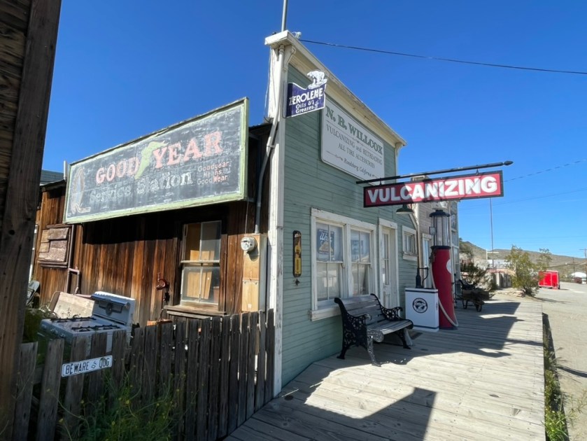
Cheers!

2023 Late Spring: Travels by Land, Sea, and Air

Near the Carrizo Plain on CA-58

Where Has Sisyphus Been? 2023 Late Spring Travels by Land, Sea, and Air the air, on the road, and in the sea…

Following our winter Desert Pilgrimage last reported in a series of posts beginning with https://sisyphusdw7.com/2023/03/01/2023-desert-pilgrimage-day-1-merced-to-three-rivers/, March found Sisyphus and Associates in Atlanta attending the wedding of our dear niece, Rachael. With the arrival of spring the city was enjoying most hospitable weather as blossoms and blooms were emerging and the forest canopies were leafing out.

Mr. and Mrs. Sisyphus, my wife’s sister and her daughter Meg, another lovely niece, enjoyed witnessing the bond consecrated between two splendid young people at The Trolly Barn with an enchanting brick patio surrounded by lush gardens and graceful granite steps where vows were exchanged. The inside of The Trolley Barn with its 30 foot ceiling spanned by the original 1889 beams is where we delighted in meeting other family members and friends of the brides’ in celebration of their nuptial, dancing away the night on a mesquite wood floor at a raucous reception that followed. Raucous (rock-us) in the most courteous manner considering this was the South…

Following the wedding day, the Westies from California joined cousins Margaret Gale and Linda from Colorado, delighting in the hospitality of our hosts, the Floyds. Their beautiful Buckhead home was the scene of a series of late nights savoring family, those of the present and memories of those of the past, with an eye cast to a promising future.

We were there for a week and managed to sample some of Atlanta’s great food and beverage scene at The Lantana Lounge in the Mid-Town Starling Hotel where we stayed the first two nights. The extended families dined at South City Kitchen for a pre-wedding dinner. Later lunches at Serena Pastifico, the Anis Cafe & Bistro, The Treehouse, pizza at Anticas, tacos at Tuza, and and dinner and drinks at Local3 were had in between exploring Buckhead and a stroll through the Atlanta Botanical Garden. And let me not forget to mention the notable meals prepared by my “Sister-Wife,” Lonna, Toni and Ginger’s youngest sister, that were exquisite as we dined in their charming home.

Left to right, Sisters G, T, (Sisyphus), L, and M, G’s daughter, our niece.

Upon returning to Merced from Atlanta signs of spring were bursting out everywhere. Vernal pools in the countryside, tulips, Japanese maples, and camellias in our yard, Mrs. Josephine Rabbit, Mr. Rabbit, The Bunny Cake in our home, and fiddlenecks along side of South Bear Creek Drive. All of the evidence was in. Our challenging winter was capitulating to a softer spring.

Since we were scheduled for Maui in May, that left April for Sisyphus to get on the moto, and with Pete, check out what was rumored to be a super-bloom throughout California and parts of the parched West. California had received bountiful precipitation over the winter into the spring causing hardships where flooding took place but nourishing the flora that had suffered consecutive years of drought.

Before and after

Almost to the day, four years ago Pete and I set off in search of the 2019 Super Bloom https://sisyphusdw7.com/2019/04/. Our plan now was to retrace part of that journey to witness the 2024 version of the bounty that water brings to the thirsty hills and dales of California’s central coast, the Mojave, and the Sierra.

Super Bloom 2023

Our son and granddaughter in Antelope Valley in April of 2023

As Pete and I were preparing our route, my son and his family had made their way to see the splendor of the Antelope Valley Poppy Reserve. That was all I needed to set about planning for five days on the motos on the road.

This would be something of a reprisal of the 2019 Super Bloom Tour, following a familiar route that took us across the Central Coast Range over Panoche Rd, through the foothills of the Gabalan and Santa Lucia ranges to our first night near Cambria. From Cambria it was east bound up and over Mount Pinos in the the Los Padres National Forest and down to into Antelope Valley, Lancaster, to our second night at Saddleback Buttes State Park. Then it was across the Mojave to for our third campout in Shoshone. From Shoshone it was westward back to the Sierra Foothills through Death Valley to our camp in Kernville before returning home along the familiar roads of Kern, Tulare, Fresno, Madera, Mariposa, and Merced Counties: https://go.rever.co/sS8ZMN3OMyb. The route I linked was amended as an exploration here, or a left or right turn there, got us to each night’s planned camp.

Day 1 Cambria

A reunion of sorts took place in Paicines as we made our way through some fog over Panoche Summit. We landed in Cambria where we made our way to The West End Bar and Grill followed by our first night at the Hearst-San Simeon State Park Washburn campground, making new friends along the way.

Our customary route to the coast combines several back roads through the San Joaquin Valley and across the Coast Ranges that I’ve documented many times on previous trips. For this journey we serendipitously encountered three gents on motos, two of whom we met in the spring of 2021 on our trip to Joshua Tree (https://sisyphusdw7.com/2021/04/) at the same little Paicines Store. They were out for a Sunday ride and were debating continuing because it was a tad foggy and they were chilled.

We bid our adieus and continued south on CA-25 riding out of the fog just a few miles down the road near the Pinnacles. Still cool, the warming sun took the frigid sting out of what couldn’t be warmed by the heated grips. The ride into Cambria had us passing through Paso Robles where my wife an I enjoyed some grape and hops tasting last fall. Winter storm damage closed our Santa Rosa Creek back road entry into Cambria, a delightfully narrow two lane road that winds itself through vineyards and oak woodlands that feature valley oaks, blue oaks, coastal live oaks and many more, all interspersed are laurels, madrones, and chaparral including chamise, manzanita, and ceanothus. Grasses are abundant and given the climate, fire is an ever present danger even in a wet year as the long hot summer beckons.

We are apparently creatures of habit as our favorite dining spot in Cambria is the West End Bar and Grill where we re-introduced ourselves to the owner who greeted us on the Moment’s Inattention post from last spring , under considerably less favorable conditions. (https://sisyphusdw7.com/2022/05) Gary, the proprietor, is quite the jovial fellow as one must be as a pub owner.

As a feature of the Three R’s of Moto Touring: Rehydration, Reflexion, and Relaxation, we found ourselves taking our customary evening stroll through the campground since riding a motorcycle all day requires at least some movement. We came across an interesting character who had to share her story of wanderlust. A bit eccentric and perhaps a bit lonely, she regaled us with the tale of her teardrop towed behind a Camry, both completely filled with what must be her worldly possessions. She was from Seattle and had been on the road for some time traveling from National Parks in the southwest in search of, well, we weren’t sure. As far as that goes, upon reflection, we weren’t sure of what we were in search of. Maybe that was because of the rehydration that had taken place…

Day 2 Saddleback State Park

Early the next morning as we prepared our eastward departure, we discovered that a critter, likely a racoon, had invited itself to the remaining chips from last evening’s snacks. I believe that smudge on my nose is sunscreen and not ranch dip.

Departing via CA-1 south to Morro Bay, we headed east on CA-41, A.K.A. the Atascadero-Morro Road, then south on US-101 to CA-58 east. While the verdant spring had been expressing itself upon entering the Coast Ranges, we hadn’t yet seen the evidence of a Super Bloom but more or less a typical spring bloom in fields of meadowfoam, fiddlenecks, and lupine.

Lots of green, not many wildflowers.

For some botanists, “super bloom’ is a vexing term. There is no scientific definition, only the eye test–you know it when you see it. There was no short supply of media trumpeting the one sublime aspect of a burdensome winter, a super bloom, however, we just weren’t seeing it. We were still a few degrees of latitude north for the Super Bloom variables to manifest themselves at this time, this year. What we did see was lots of evidence of damage to road infrastructure, much in repair. We must have encountered a dozen, “Prepare to Stop”, “Road Work Ahead” signs on this trip.

Blossoms and fruit destined to become guacamole

As we were entering Santa Margarita we noticed orchards that appeared to be blooming with an interesting blossom, but also heavy with fruit. Signage along the roadside at the entrance to one such orchard solved the mystery: avocados!

Highway 58 took us just north of the Carrizo Plain where blooms from space could be seen. The hills just north of the monument’s dusty topography had erupted in Super Bloom color: yellow from the hillside daisies, goldfields, and tidy tips, whose ends are frosted white; purple from the phacelia and wild hyacinth; azure splashes from the lupine and baby blue eyes and orange fiddlenecks and poppies. Ah yes, we were in the midst of the 2023 Super Bloom!

I had intended to chronicle all of this remarkable color from a GoPro mounted on my handlebars. Technical difficulties and user error, however, botched the video and I wasn’t able to get the most dramatic of the bloom as we crossed the Temblor Range into McKittrick, the vast orange sea of the Antelope Valley Poppy Reserve, or the dramatic CA-58 canyon along the raging Kern River. I guess there will be yet another spring trip to film when I figure out the camera… I humbly offer the following:

The beginning features some of the bloom near the Carrizo Plain

McKittrick and checking the investments

I didn’t know at the time, but as we were traveling through the Antelope Valley Poppy Reserve along with thousands of other bloom seekers, I thought the GoPro was capturing what the Spanish sailors in the 18th century first had laid eyes on along the California coast, declaring it la tierra del fuego, the land of fire. They had arrived as a giant super bloom of flaming orange poppies, which would later be named the state flower, glowed from the hillsides.

La tierra del fuego

By the 1870’s the poppies were so threatened that the state government and a group of concerned citizens, led by the Great Poppy Lady, Jane Pinheiro, were working to establish a preserve to ensure the blooms would live on. That effort became the Antelope Valley California Poppy Reserve, an island of native flowers among encroaching development and creeping invasive species. Even after the 1,800-acre park was founded, the pace of growth persisted, bringing cookie cutter suburbs, vast solar farms, and nonnative plants that crowded out other species.

Oh, and then there’s Adelanto, a desert city in California’s Mojave as it tried to transform itself from a bedroom community of affordable housing in eastern Los Angeles county and a city of prisons to a metropolis of pot… Check out the Crooked Media Podcast, Dreamtown: The Story of Adelanto where ever you get your podcasts: https://crooked.com/podcast-series/dreamtown-the-story-of-adelanto/

Saddleback Butte State Park includes over 2,955 acres (4.617 sq mi) of land, and was created in 1960 to protect the area’s Joshua Tree (Yucca brevifolia) desert habitat. It’s the OG Joshua Tree Park, formerly a monument. The lights in the distance are from Lake Los Angeles. But Lake Los Angeles has no lake. Instead, the now-nonexistent lake is a remnant of the town’s manipulative speculative real estate history. It seems the desert fancies drifters and grifters trying to convince folks of putting down roots. Roots that die of thirst and dreams that evaporate.

I arose the next morning to catch the first rays of the sunrise and noted the desert flora showing off.

A Butte and a Joshua Tree

We only come to the desert as visitors who appreciate the complexity of an environment. While hostile to hominids, the Mojave has an incredibly robust ecology should you take the time to look and listen and learn. Perhaps eco-tourism will at least compel people to consider there’s more there than meets the eyes, eyes focused on exploitation of a fragile landscape.

Day 3 Shoshone

As we planned the day’s ride, rather than retrace a previous route the trusty Butler Map indicated a more direct route to US-395 by heading east on Avenue J. We were still in Los Angeles County when we set off and after 8 miles we encountered the San Bernardino County line where the pavement ended despite our Butler Map guidance for the most direct route. It would be 15 miles on dirt to US-395 and another 9 miles, on dirt, to Helendale where we hoped to join the Mother Road, Route 66 rather than the longer route through Mirage, Adelanto, and Victorville, another desert prison town. Hence, the less direct paved route would have to do.

After getting gas at a sketchy Arco station adjacent to I-15 in Victorville we hopped on the interstate for 10 miles to Daggett where we picked up the National Trails Hwy, Route 66 east. A lunch stop in Newberry Springs where the wind was gusting at 25+mph and I found myself eavesdropping on the conversation of two local residents. I asked if the “desert road from vegas to nowhere, Some place better than where you’ve been, A coffee machine that needs some fixing, In a little café just around the bend”… was open just down the road. One of the lady’s eyes lit up as she shared that she and her husband were extras in the movie, her husband on a HD chopper with Brenda’s carefree daughter, Phyllis, below…

Bagdad Cafe, 1987 and the trailer for the movie https://youtu.be/4G2MEszpox0

When I first saw the movie, I loved the eccentricity of the characters and wagish storyline. Even more appealing was the haunting Bob Telson composition, Calling You, https://youtu.be/IZ0e5AHdDXw . Jevetta Steele recorded the soundtrack for the film. Here’s an update with a beat that features Ms. Steele, however some of the melancholy of Telson’s original, IMHO, has been lost, https://youtu.be/e7dZq8NYZwg.

Today , the Bagdad Cafe is a tired, melancholy roadside attraction.

Having decided that the memories of a whimsical movie about a little cafe just around the bend, are better than the actual cafe of the present, we set off for Amboy and the Kelbaker Rd intersection. You can’t miss it as the Joshua Tree Sticker sign notes the turnoff…

Looks like a lift tower on Chair 7…

From the sign we had another 125 of our 280± mile day’s ride to our destination in Shoshone before us. Kelbaker Road features some interesting desert flora and the granite outcrop in the Boulder’s Viewpoint area is worth a stop.

A controversial mega-solar energy project that would extract massive amounts of groundwater from the area around the Soda Mountains in the vicinity of Baker would also impact the dwindling bighorn sheep population that once flourished in the area. I-15 and I-40 has already interrupted ancient migration trails. Desert bighorns once thrived in the serrated mountain ranges across the Mojave Desert, where they formed a “metapopulation” of groups connected by these ancient trails. Today, their survival is threatened by disease, drought, interstate highways and now, renewable energy.

Flying through Kelso and Baker we made our way through the Mojave National Reserve, arriving in what is our favorite little town of Shoshone, just outside of Death Valley NP.

It’s impossible to get lost in Shoshone

After setting up camp and checking directions, we strolled down Old State Highway 127 which runs parallel to the new state highway past the school and ‘Sorrells House’. I’ve noted in previous posts that the house was designed by Richard Neutra and is now occupied by the surviving daughter of the family whose great-grandfather founded the town and whose family has owned the town, lock, stock, and other revenue generating venues, now with a nod to ecotourism rather than strip mining, solar farms, malls, and subdivisions. That, and there’s a natural hot springs that keeps the community pool at a comfortable 89 degrees year round!

A raucous Tuesday night crowd had gathered at the Famous Crowbar Cafe and Saloon where we enjoyed dinner and a whistle wetter or two. Our server who was working solo serving a capacity crowd at the bar and tables managed to restore our whistles while awaiting victuals from the solo line cook in the kitchen. Somehow the wait didn’t matter. More impressive is that she didn’t write anything down.

Following a delicious grilled Ortega chicken sammie and salad, we checked out the antique Chevron gas pump in the museum area adjacent to the cafe, a relic of a distant past that displayed a three digit price display as in: “_._ _”. We then strolled across the new State Highway 127 to the Chas Brown Market for procuring the first “R” of the hour of rehydration, relaxation, and reflection that beckoned. Pete made a new friend in the market while discovering that beer, by volume, costs more than gasoline. The new Chevron pumps in front of the market, that had sold a $1.9 million dollar Mega Millions lottery ticket in 2020, sported considerably higher prices with updated displays to several digits. You might just be able to fill your Range Rover’s tank with those winnings.

From its headwaters north of Beatty, NV, the Amargosa River flows underground in a southerly direction. Near the Dumont Dunes south of Shoshone and Tecopa, it makes a big u-turn and heads north into Death Valley National Park, finally terminating in Badwater Basin, the lowest point in the United States. The very same water that fills the campground pool and rises to the surface in the wetlands restoration areas, mostly flows beneath the desert surface and is warmed by subterranean thermal activity.

Day 4 Kernville

We decided to take CA-178 into Death Valley. The last time we rode this route was at night and is featured in the Riding Under a Fool Moon post from 2019 https://sisyphusdw7.com/2019/11/ . The route took us through Badwater Basin, the lowest elevation below sea level in the US. The snow capped mountain is Telescope Peak in the Panamint Range and summits at 11,043 feet above sea level. The photo at the bottom shows the sign from the basin viewing area to sea level, some 282 feet above the road.

We decided to forgo the hustle and bustle of Furnace Creek to stop at Stovepipe Wells for a mid morning snack before heading to another of our favorite spots in the desert, the Panamint Springs Resort. We stayed there earlier in March on The Desert Pilgrimage Tour, https://sisyphusdw7.com/2023/03/. This day it was just for lunch before heading up and out of the lowlands on CA-190 to the high desert, US-395 and CA-58 over Walker Pass to our destination for the night in Kernville.

At the Father Crowley Overlook we stopped to view the colorfully striped canyon created by ancient volcanic activity. In Panamint, the market cashier said that Tom Cruise had a few weeks earlier, flown into Panamint Springs to check out Rainbow Canyon that was a location for filming the first, pre-CGI Top Gun. The canyon was nicknamed “Star Wars Canyon” by visitors who came to observe and photograph the military test flights which occured in the vicinity. Star Wars Canyon is part of the R-2508 Complex, which has been used by the military since the 1930s. Unfortunately a jet crash in the canyon in 2019 resulting in the death of the pilot and injury to several visitors in the area, put an end to training flights through the canyon.  We did meet two delightful couples, one from Britain and the other from New York by way of France who were curiously hoping for an F-16 to rip through the canyon. We had an enlightening exchange of cultural perspectives of our respective travels.

As Rick Steve’s says about travel: Globetrotting destroys ethnocentricity. It helps you understand and appreciate different cultures. Travel changes people. It broadens perspectives and teaches new ways to measure quality of life. Many travelers toss aside their hometown blinders. Their prized souvenirs are the strands of different cultures they decide to knit into their own character. The world is a cultural yarn shop. Back Door Travelers are weaving the ultimate tapestry.

Ian and Melissa at the Father Crowley Overlook

“Rainbow Canyon” isn’t quite as colorful in the midday light. It was however green from spring rains.

We continued up past the turnoff to Darwin and over the Inyo Range to Olancha. The Owens Lake was beginning to show signs of life as water from the winter storms and the beginning spring runoff was making its way downslope.

Before crossing over Walker Pass on CA-58, Pete and I pulled over to stretch following a fuel stop in Ridgecrest at the intersection of CA-58 and CA14 where we were warned by a passing motorist that there was an unsafe driver ahead. This after a brief conversation with another solo motorist in an “all earthly possessions on board” van who was headed west, back to civilization after an extended desert stay. I guess unsafe drivers are a feature of civilization.

We made our way the Rivernook Campground in Kernville passing by the recently upgraded Isabella Dam. You might find this video recently posted by the Kern County Fire Department interesting as the project overview is examined in the context of this year’s river flows https://youtu.be/cDwY4sWs9MU .

After a fine meal at Kern River Brewing we were pleased to have a bit mellower experience than when we were in Kernville last February during the community’s Whiskey Flat Days celebration (below) where winding our way through the SRO crowd to get to the gas station was the most daunting aspect of that 5 day ride.

Try riding a motorcycle through that crowd

I had a brief clip of the Kern River as it raged near our campsite, but once again, my technical expertise (and budget) doesn’t permit purchasing format conversion to make IPhone video in HDR into a YouTube friendly format. Not sure who the villain is in this, WordPress, Apple or YouTube. I know who the victim is… You, my audience, who can only appreciate the still photo above https://youtu.be/LukyMYp2noo .

Day 5 Homeward Bound

Good Morning Mr. Jetboil

One of the subtle calibrations one makes when “roughing it” is how to maintain the adventurous aspects of unpacking and setting up camp, not showering for consecutive days, making a fire to keep warm while enjoying the Three R’s after riding a motorcycle for 300 miles, sleeping on the ground, awakening to a frosted campsite, only to break down and pack up camp again. How to ameliorate those “hardships” without seeming to be too much of a wuss? A warm cup of coffee, mixed with some chocolate is the solution to the fine recalibration from discomfort to comfort. In fact, it seems like beverages, both associated with the Three R’s and morning reverie, more than compensate for any of the major and minor nuisances of motorcycle touring.

Our route home found us rolling over some new roads through Bakersfield to Oildale because of the closure of foothill roads east of Bakersfield due to winter storm damage. After riding through Kern River County Park into Oil City then out, the contrast of the two could not be greater.

Once through the sucker rod pumps of Oildale we headed north on CA-65 stopping in Terra Bella for one of the best Mexican breakfasts we’ve ever had. The tortillas, flour and corn, were handmade and the huevos rancheros with chorizo were incomparable. The Amigos Restaurant reflects the very best of determined sisters to operate a treasured eatery in the rural Southern San Joaquin Valley.

In Porterville, where once again foothill road closures kept us rolling through the citrus groves Strathmore, Lindsay, Cutler, Orosi, and Orange Cove we made it to CA-168, Tollhouse Road by way of N. Academy Avenue in Fresno County. Our intent was to make our way to Friant and then drop down into Raymond and home. Now, I’m not the greatest navigator once we’re on the road as my issues with Butler Maps, Google Maps, Apple Maps, and Rever have all been documented in previous posts. So, I decided to turn over the last leg of the trip to Pete, acknowledging his ancestral Basque heritage in proximity to Portugal, a nation that once ruled the seas. You had to know a thing or two about navigating to rule the seas.

Our left turn onto CA-168 wound up taking us into the heart of of the 5:00 Fresno slab commute as we merged onto CA-180 followed by CA-41 merge. It was white knuckle, bumper to bumper traffic at 80+ miles per hour until we exited onto CA-145 and Rd-406 that took us on winding foothill roads devoid of crazed cagers at the foot of Hensley Lake and eventually to Raymond on Rd-600. From there it was Raymond Rd to Ben Hur Rd to Buckeye and Yaqui Gulch roads to CA-140 and home. I highly recommend a Sunday afternoon drive on any of the aforementioned foothill roads. Try to avoid becoming a crazed cager, or at least avoid crazed cagers anytime you can.

Epilogue

Extroverts have more fun. If your trip is low on magic moments, kick yourself and make things happen. If you don’t enjoy a place, maybe you don’t know enough about it. Seek the truth. Recognize tourist traps. Give a culture the benefit of your open mind. See things as different but not better or worse. Any culture has much to share. Rick Steves

What creature appears to be washing ashore? Could it be a descendant of Wilson?

Just prior to a delightful week spent in the company of my wife, our son, his wife and their beautiful little daughter in Maui, a new member of Sisyphus’s family arrived…

Two beautiful Italians and a hillbilly

So, if you are interested, or know someone who may be interested, in purchasing the 2016 Kawasexy Versys 650 LT loaded with several touring-friendly features and lovingly maintained with a mere 28,440 miles, message me. Both Italians insist on moto-monogamy!

Addio mia bellezza arancione!

Ciao…