
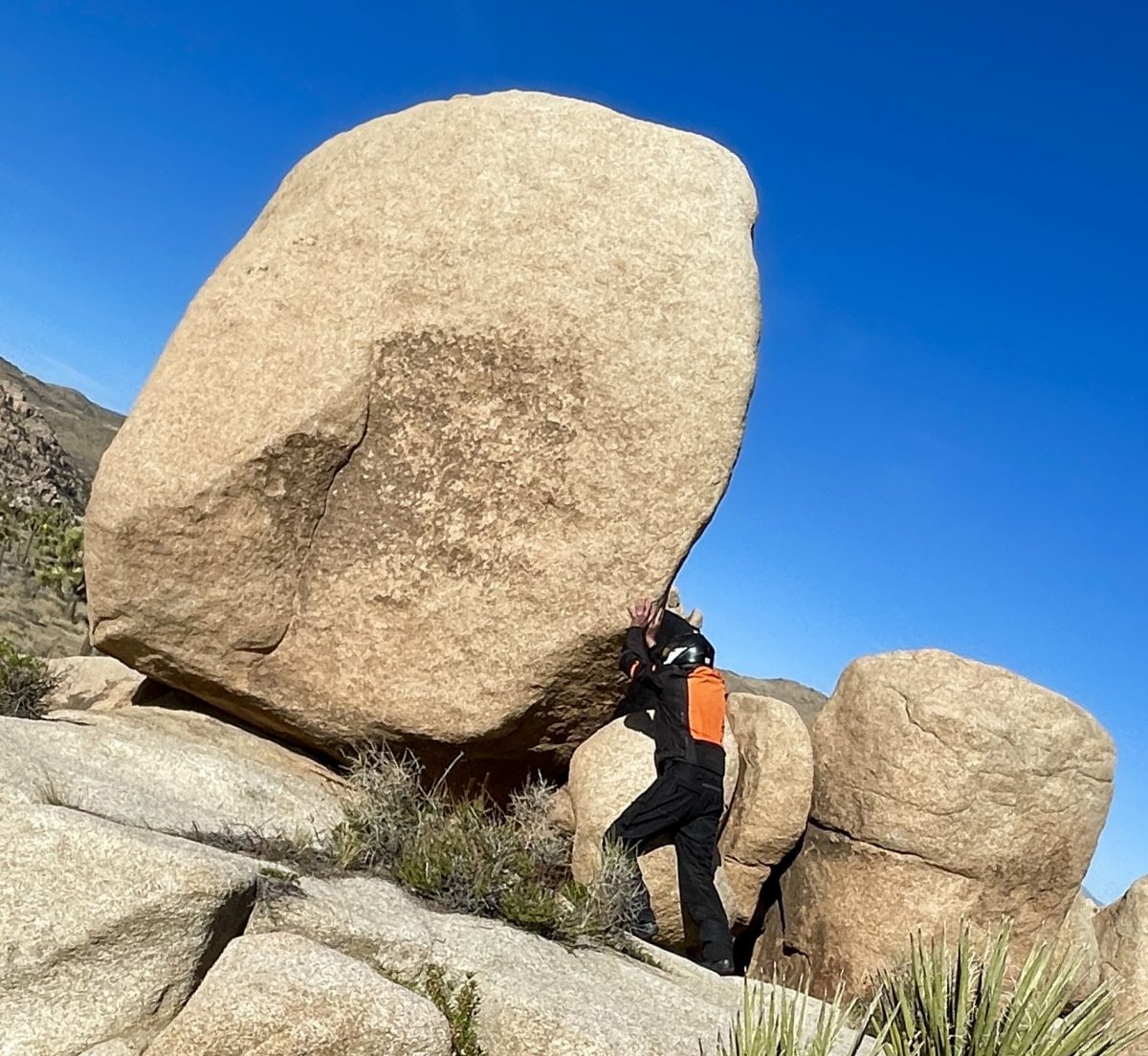
Ride Report
Days were getting longer, warmer, and closer to the solstice. A northern route was proposed with an AI assist, one that I found useful, however inaccurate at times. This route ended up disappearing from glitchy technology while on the ramble. The paper map back-up also disappeared somewhere along the road from Vernal to Torrey Utah. Somehow we managed to enjoy seven states (CA twice) in eight days without navigation or incident and I quietly celebrated my birthday…
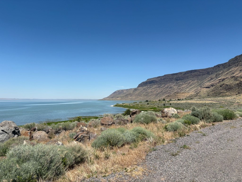
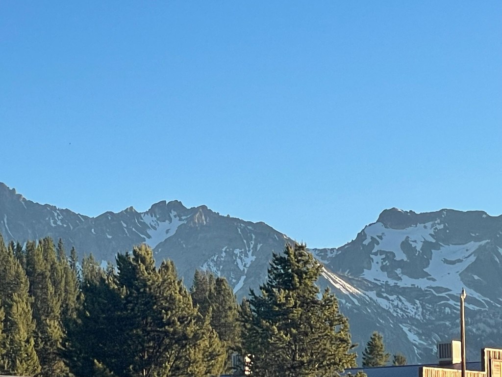
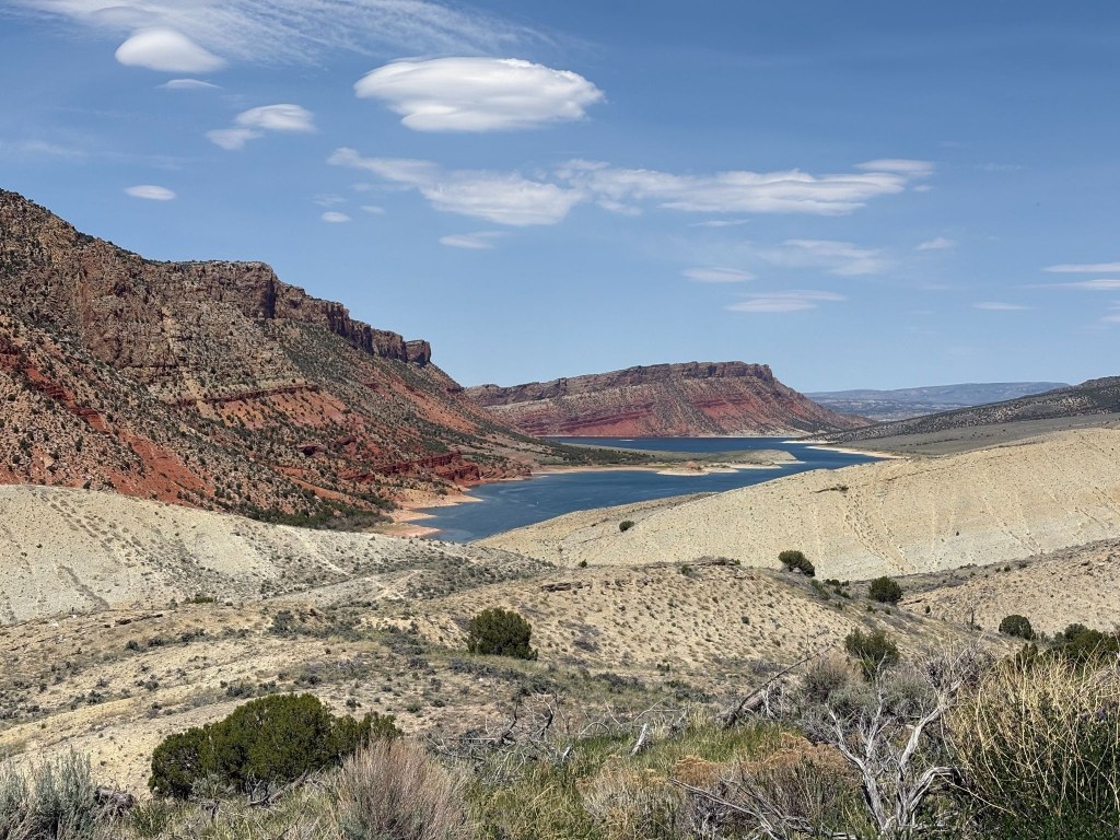
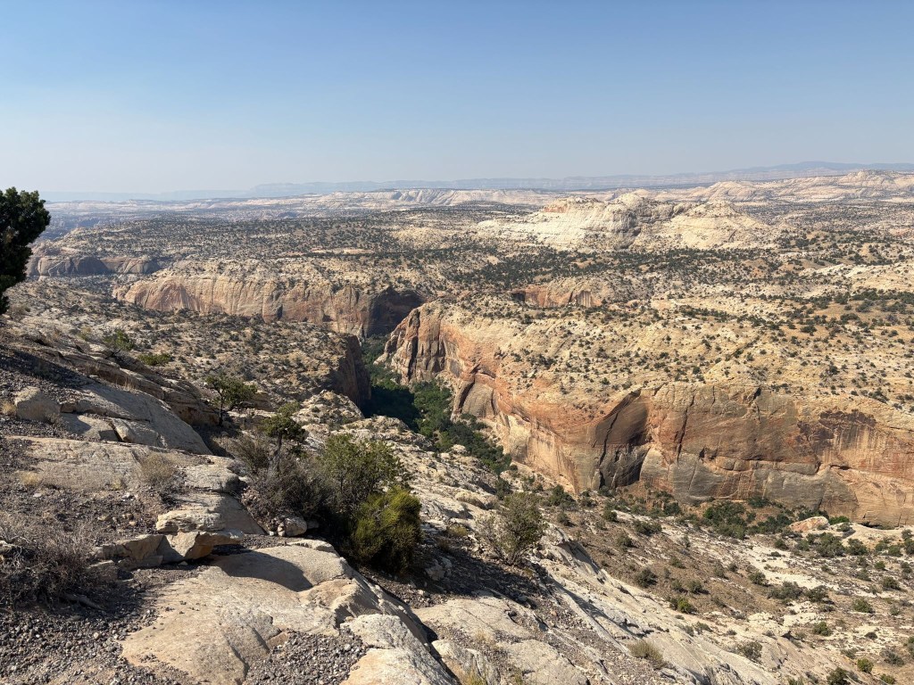
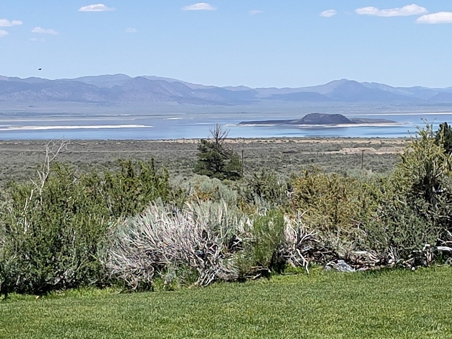
Per the usual trip highlights, we rode through amazing landscapes, quintessentially western and met interesting locals and travelers, who like ourselves, were curious about these iconic western locales. And for at least three days, it was technology free rambling. Cellular coverage is weak if not totally absent from many of these rural western locales. Our Cardo comm devices defied spotty cellular coverage so we could at least converse about the scenery and whether the route resembled the plan. Columbus didn’t need cellular coverage. All he had to do was shout an order from the deck. Though, he might have made it to India if he had…
Sisyphean Ramble Planning Criteria (SRPC)
Our “absolutes” when rambling include roads that follow the Butler Motorcycle Map descriptors:
Butler Motorcycle routes are graded with descriptors such as G1, G2, and G3, where G1 indicates the best combination of twisty pavement and scenic views. Additionally, routes are marked for features like “Paved Mountain Trails,” which indicate roads with no center line and uncertain conditions or “Lost Highways” roads with faded center lines, crumbling shoulders, and long lonely miles, i.e., a “blast from the past” feel.
If you read the SRPC (Sisyphean Ramble Planning Criteria), framework in the preceding post, File this Under: The Old Dog Learns a New Trick (A Cautionary Tale) the Butler grading system explanation reframes the AI conflict from “old man yells at chatbot” to an interesting navigation philosophy clash. Especially in light of losing the digital “Drive” routing as Google Maps disappeared on the third day while on the bike. As did my iTunes. On more than one occasion, Google and Apple were yelled at, I might add, often in vain…
This presented one of the difficulties while planning in convincing AI that avoiding highways of the Interstate variety or freeways in populated areas would necessarily lengthen the day’s ride beyond another absolute, limiting 300+ mile days. Since we were motelling this ramble, our preferred camping mileage of ~250 mile days, was suspended as setting up and breaking down camp has more moving parts than checking in and out of a motel. And there are showers. I used AI in selecting lodging for the first five days, on the recommendation to do so as the post-Memorial Day vacation fury was about to convulse. Apparently motels, like campgrounds, aren’t the only place to seek refuge in an unfamiliar place that gets hoarded by anxious travelers on January 1.
Bon Voyage
Day 1 – Monday, June 15
Merced to Susanville ~303 miles
CA-59/J59 → Jamestown → CA-49 → Angels Camp → CA-4 → Ebbitts Pass → Markleville → CA-89 → CA-88 → Minden, NV → US-395 Eastern Sierra → Carson City → Susanville → Diamond View Motel
Departing the Central Valley on CA-59 and stepping onto the historic J-59 foothill corridor, the journey climbed steadily into the rugged heart of California’s Gold Country. The landscape traded flat farmland for rolling, oak-studded hills as we arrived in the historic hamlet of Jamestown. Forget the pork, the historic chicken wing of Jamestown, home of the Chicken Ranch Casino.
Joining the iconic CA-49, we wound north through the heart of the Mother Lode to Angels Camp, a town steeped in frontier frog lore and the Mark Twain Vrbo. At Angels Camp, the route pivoted east onto CA-4, launching a dramatic ascent into the High Sierra. The road narrowed to a “Paved Mountain Trail,” and twisted sharply as it conquered Ebbitts Pass, a breathtaking, white-knuckle alpine crossing that tops out over 8,700 feet amid granite crags and sweeping wilderness vistas. Be sure not to miss a shift down to first gear, thus hitting neutral, on a 10 mph hairpin. I speak of experience.
Descending the eastern slope, the highway brings you into the quiet mountain outpost of Markleeville. Like most small mountain towns open all weekend, it was pretty much rolled up on a Monday morning.

From Markleeville, you pick up CA-89 and link up with CA-88, dropping out of the high alpine forest into the wide, sweeping ranch lands of Minden, Nevada. Turning north onto the historic US-395 highway along the Eastern Sierra flank, the route passed straight through the heart of Carson City. Cruising through Reno, the final, long northbound stretch carried us back across the California line and through the arid sagebrush plains of Lassen County.
The SRPC motel criteria has evolved. We prefer classic motor courts or motels. They must, however, not be decrepit. For instance, this is an example of a place that would be rejected by applying the SRPC:
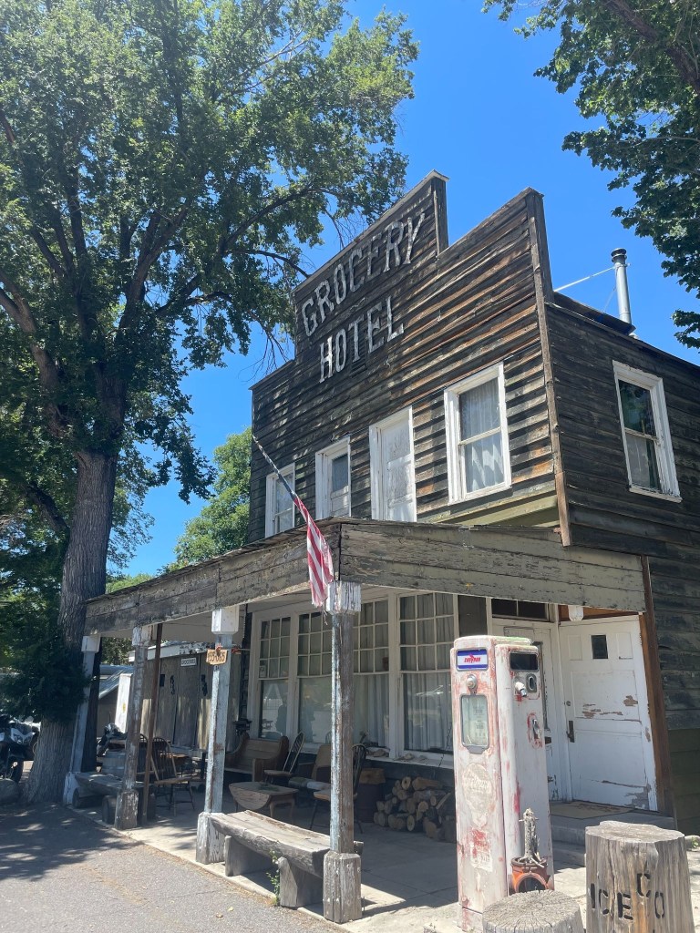
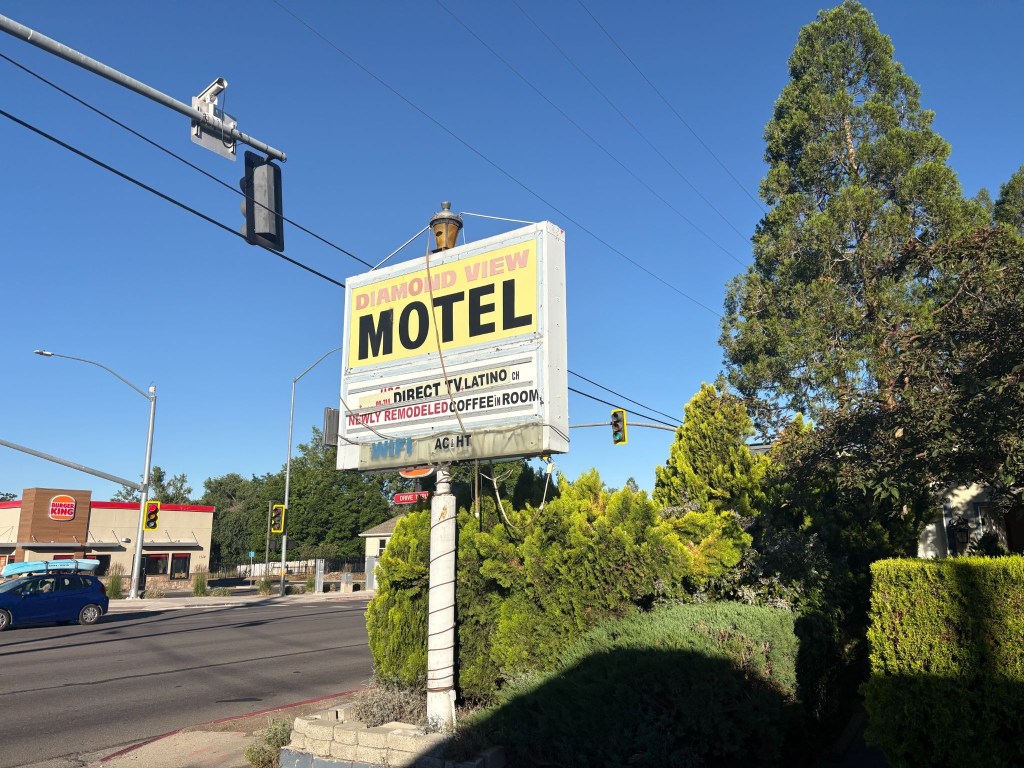
Not because it was a Hotel and not a Motel, not because the towels probably weren’t transparent, but because it was in Doyle, California a town decidedly not on the rise. Towels notwithstanding, gas was a bargain at the Doyle Grocery Hotel where the red pump was retired long before the proprietor and long after it had lost its sheen. Back on the bikes, some 42 miles short of our destination, we ultimately brought the day’s long ride to a close at the faded (and presumably lighted by a series of extension cords) marquee of Susanville’s Diamond View Motel.
Just prior to departure, I decided it would be best to secure reservations for lodging for the first half of the trip. I did so because Claude, my AI assistant, recommended confirming reservations as this was prime vacation season in the direction we were headed, particularly for moto-ramblers like ourselves. However, discovering that I had the wrong dates for each of the four reservations I had hastily made, rather than call back and rearrange and possibly lose a booking, I revised our departure date. I did this without Claude’s assistance.
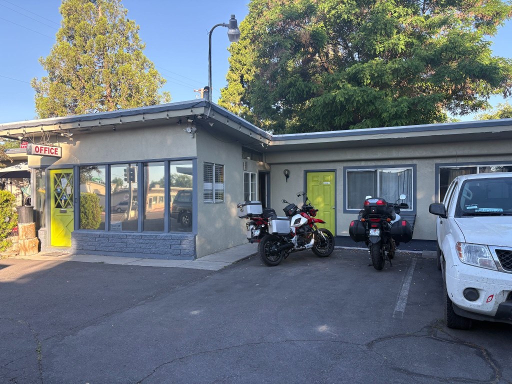
Susanville, CA rivals Chama, NM, long the gold standard of Sisyphean overnight stops
In making the reservation for the Diamond View with Ming, the sole proprietor of the place, on the Friday prior to our intended departure on Sunday, June 14, I accidentally booked the room for our first night on the road, Monday, June 15, my birthday. Along with reservations for the Silver Spur Motel in Burns, OR, the Mountain Village Resort in Stanley, ID, the Swiss Mountain Motel in Thayne, WY, the Patriot Stay Motel in Vernal, UT and the Rim Rock Inn in Torrey, UT, all were subsequently a day off too. So, rather than risk losing any of the aforementioned lodging, I simply rescheduled the departure. I didn’t need Claude to figure that out either.
Ming sounded to be a nice, if somewhat, non-fluent English speaker over the phone. Upon checking-in on our arrival I requested, politely with a touch of snark, the “presidential suite.” To which she mumbled in response, something like, “What a president?” Her perplexed look, staccato English, and my embarrassing explanation that it was a joke concluded our only contact with her. She retreated to the laundromat across the driveway, further mumbling, unimpressed by my sarcasm.
Check-in now achieved, we unpacked and cranked up the room’s air conditioning. It was in the mid 90’s by mid-afternoon. The air conditioning, noted on the marquee along with HT (heat?), worked fabulously. I guess that was compensation for not having “coffee in room or WIFI”. It all began to make sense. The motel appeared to be populated by a group of “eccentric” folks of questionable sobriety and means. The sheer number of security cameras attached to the office eves and the room decor explained everything. Maybe Ming preferred viewing the motel’s parking lot tableaux to “Direct TV.Latino”.
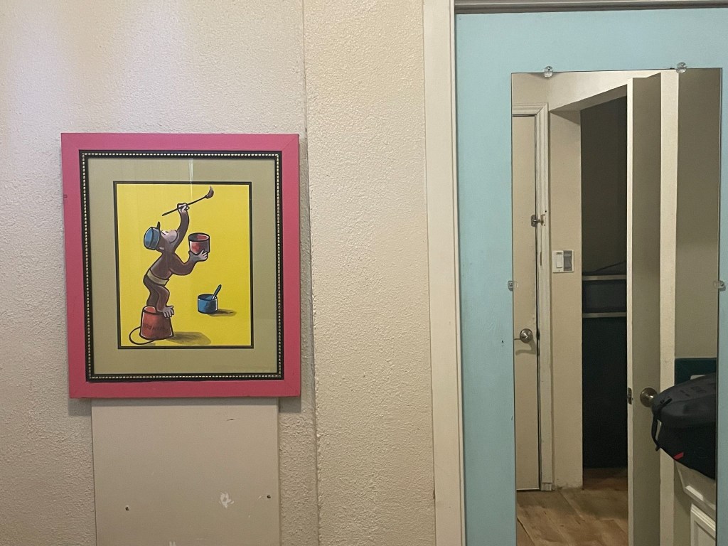
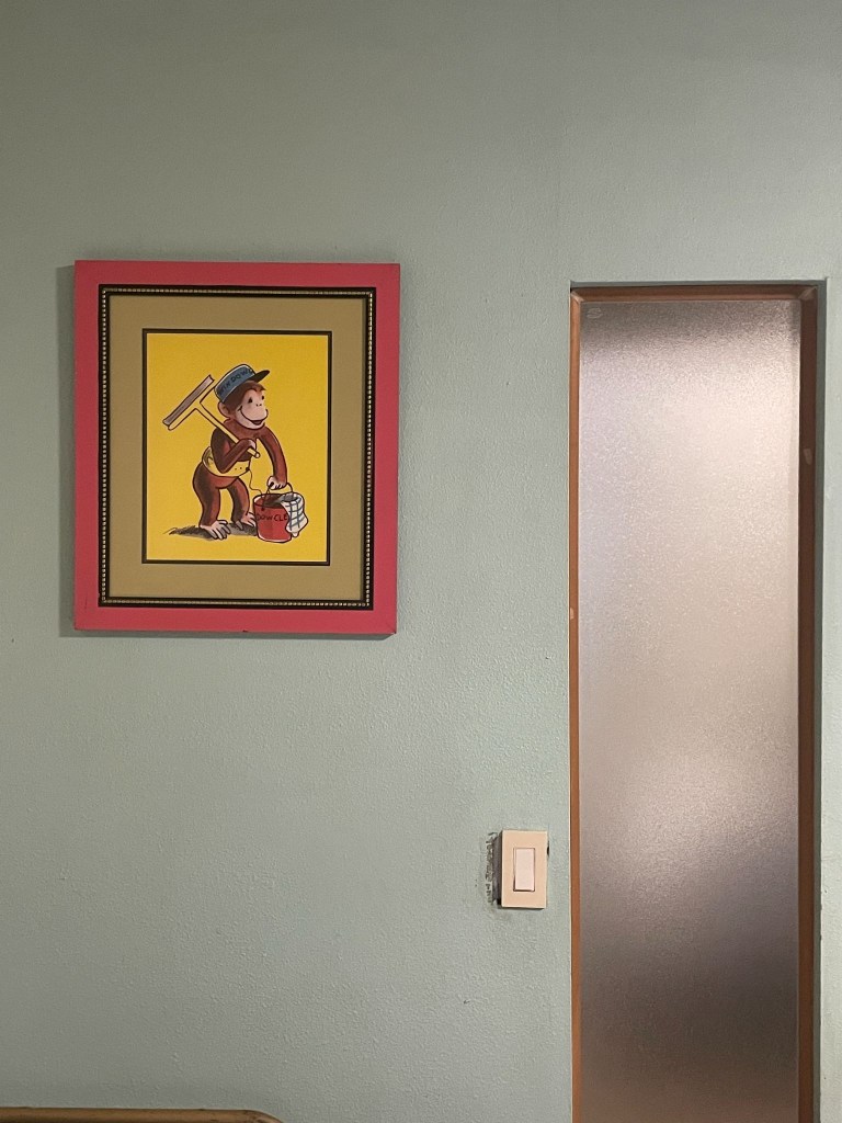
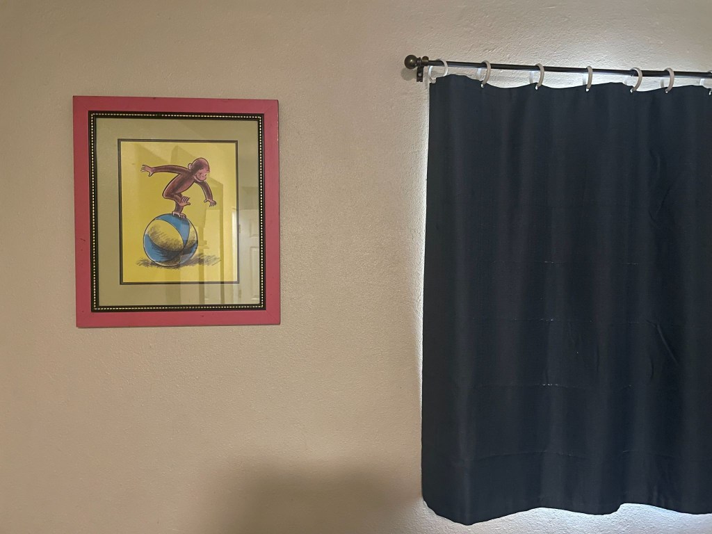
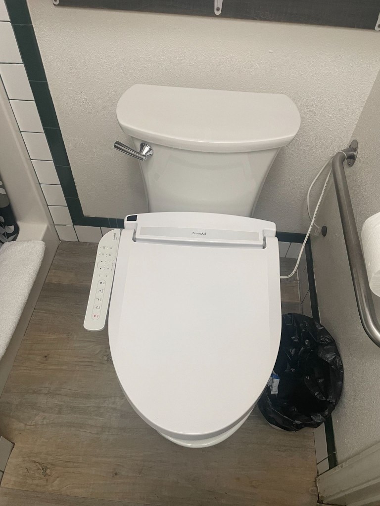
And Yes, Susanville, California is considered the definitive textbook definition of a “prison town”
Little did we know that local business owners, including multi-generational motel operators, openly state that their properties rely directly on business from families traveling across California to visit incarcerated relatives. In spite of such transparency, Ming neglected mentioning when I arranged the reservation that The Sierra View was just such an establishment. Our first impressions were confirmed when our immediate neighbor in room 2 emerged from her room as we rolled up. She sat down, a woman who painted her toenails while chain smoking. We later found her with two young children who appeared from the room. This was likely an inmate’s family visiting. In the spirit of Bill Maher, we didn’t know it was a fact, we just knew it was true.
Since all of the rooms were Non-Smoking, we soon became familiar with mom and her family. While putting the finishing touches on her toenails, her young son, maybe 10 years old, came up to me with a can of soda and invited me to, “See a great prank to pull on someone.” Was I being set up?
Pointing out that the tab of the can was intact, and by all appearances looked to be a full can of soda, he demonstrated the can was empty. He did this by dropping the can to the ground to emphasize its emptiness. Summoning empathetic amazement I asked how in the heck had he done it. He explained, “I just pull the tab a little bit then supersuck the Sprite then I push the tab down.” I wasn’t sure if this was the pre-dinner show — I probably owed him a tip.
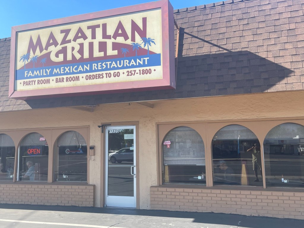
After dining next door at the Mazatlan Grill, we retreated to our camp chairs, as is our routine, outside of the room, to enjoy beverages procured from the gas station across from the motel à la the 3R’s: rehydration, relaxation, and reflection on the day’s ride as well to gain some sense of the rhythms of Susanville as the sun was setting.
About that time a group of Latino laborers showed up in a pickup shouldering a 36 pack of Budweiser and other packages, likely take-out. They appeared to eye the parking space we had planted our bikes in that was likely theirs on nights when the only room, Room 1 not rented by the week or month, isn’t occupied. They quietly retreated to the room attached to the motel’s office, presumably the proprietor, Ming’s residence. Odd, thought we, but perhaps this was the nature of the Diamond View perfectly aligned with the rhythms of Susanville. We then surmised that not all of the guests were inmate visitors. We raised our beverages in salute to the working men and they quietly acknowledged our gesture.
Pete, bilingual, later found out they lived in what was the motel office manager’s apartment, all five of them, and they spent their days in the mountains above Susanville harvesting pine cones. Pine cones that are used in making wreaths, flower arrangements, and anything else requiring little pine cones. Other guests at the motel wandered back and forth throughout the evening, joining them. Perhaps they were little pine cone mules. Perhaps that explains why Ming retreated to the laundromat across the parking lot.
It was an interesting community made up of folks who managed to endure what Sisyphus and SMAP take for granted: secure in our intent to ramble, willing to risk some of that security in pursuit of a little sketchiness. It all must have made interesting video alerts for the security cams: Smokers, children doing magic tricks, laborers enjoying a 36er, and two blokes in camp chairs taking it all in. One of the guests who appeared to be familiar with abusive substances commented that our little camp chairs would be ideal for using while fishing. We didn’t leave them out that night.
Day 2 – Tuesday, June 16
Susanville, CA to Burns, OR ~299 miles
CA-139 → Alturas → US-395 Oregon Outback (New Pine Creek → Lakeview → Wagontire → Riley) → US-20 → Burns → Silver Spur Motel
California’s Loneliest Road
An early start guaranteed we’d be spared the afternoon heat. Sort of. SMAP suggested we depart from US-395 to make our way to a breakfast stop in Alturas taking CA-139. This state highway 139 from Susanville to Alturas takes you through one of the most rugged, isolated, and untouched volcanic corridors in the American West. Officially ranked by data analysts as California’s “loneliest road,” this two-lane highway averages fewer than 1,500 vehicles a day, carving a quiet path through vast high-desert basins and dense pine forests. Perhaps where the pine cone harvest takes place.
Because CA-139 actually runs northwest toward Oregon, traveling from Susanville to Alturas requires driving CA-139 north to the town of Adin, then merging onto CA-299 east to complete the trip into Alturas. The Susanville Climb & The Volcanic Rim Ascent begins just east of Susanville, where CA-139 splits from CA-36. It immediately hits a steep, winding mountain grade as it climbs up the rugged slopes of Antelope Mountain. This was a brilliant detour from the planned route. SMAP recalled having taken this road in the opposite direction on a ramble a few years back. Who needs Google maps when SMAP is on board. If only Columbus had a SMAP on board the Santa Maria.
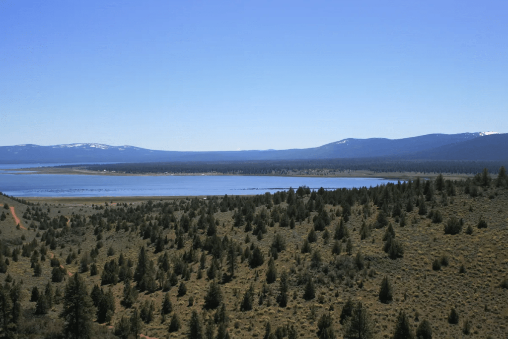
The first 60 miles out of Susanville are notorious among truck and RV drivers for being exceptionally narrow and “skinny,” lacking shoulders or large breakdown lanes. It features continuous roller-coaster ups and downs. As the road crests the rim, it descends into the spectacular Eagle Lake Basin. The highway skirts the eastern edge of Eagle Lake, California’s second-largest natural freshwater lake offering sweeping high-desert lake views and premier opportunities to spot nesting osprey and bald eagles. We saw some mallards.
A breakfast stop at the historic Niles Hotel in Alturas punctuated the beautiful morning ramble up CA-139. As with most rural small towns, this Tuesday morning was peaceful with an easy feeling. We were tryin’ to take it easy. (Hotel Niles isn’t the Hotel California)
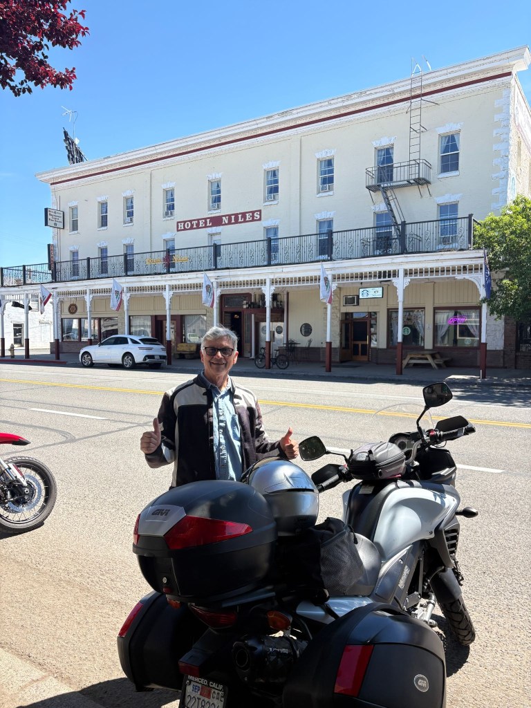
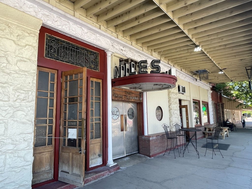
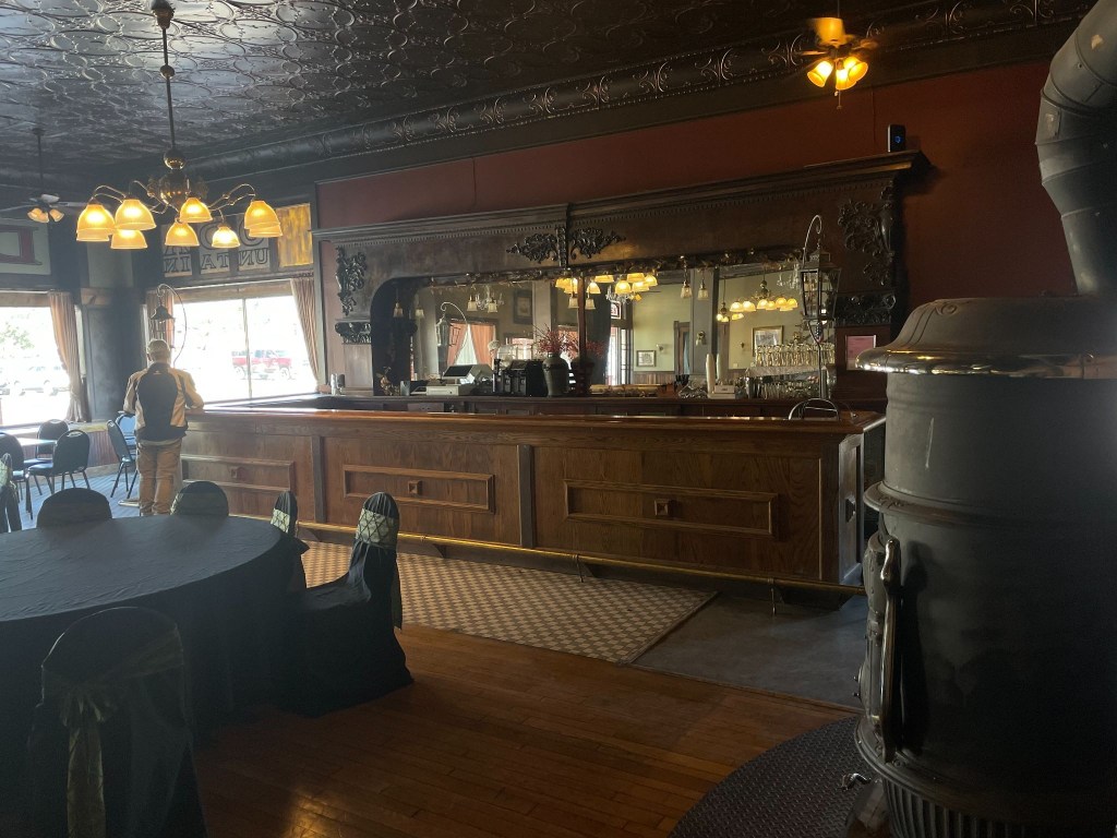
Heading north from the California border toward Burns, the landscape is defined by the Great Basin high desert. The terrain is an open, desolate expanse of sagebrush plains, dry lake beds, and volcanic rims. Landscapes we would be seeing throughout this ramble.
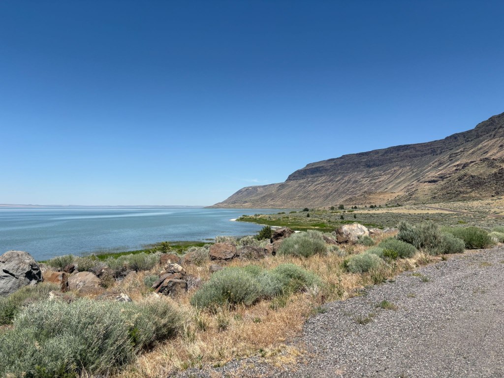
The Abert Rim is one of the most visually spectacular and geologically significant ancient lava formations in North America. Located right along US-395 south of the Valley Falls junction (on the southern approach toward Burns), it is not a fresh, black lava flow like Devils Garden a few miles up the road near Wagontire or Hell’s Half Acre or Craters of the Moon in Idaho, but rather a massive, 30-mile-long tilted block of ancient flood basalt layers that has been thrust thousands of feet into the air. Oregon seems to have won the volcanic dunk competition. The Albert Rim makes the lava flow in our neighborhood from Dardanelle, near Sonora Pass, to the Stanislaus Table mountain, near Copperopolis, appear puny, a mere volcanic layup.
At Valley Falls a brief stop for hydration at the Valley Falls Store afforded the opportunity to meet a couple, she on a Harley, and he on an Indian, who, by their own admission, were headed to Winnimucka-ish. It wasn’t getting any cooler but they looked worthy of making the miles. Apparently the Indian-Harley kerfuffle hadn’t soured their relationship. The Lowdown Show by ADVrider
From here, you enter an incredibly isolated 140-mile stretch. You will pass through the tiny outpost of Wagontire—famous for having a population of fewer than five people and this fellow…
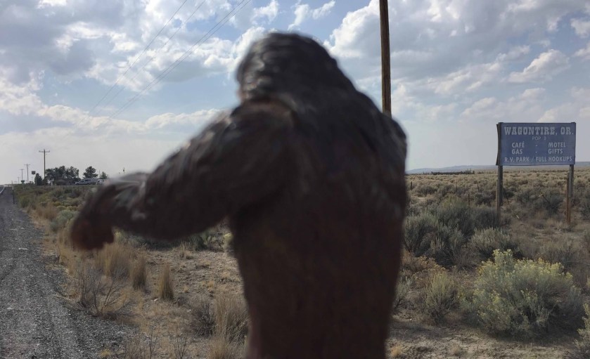
US-395 is long, straight, and empty. You must watch out for “Open Range” signs, as cattle frequently wander onto the unfenced highway. Maybe at times, even other large hairy mammals. At the tiny community of Riley, US-395 merges with US-20, turning east for the final hot flat stretch into Burns and our destination for the night, the Silver Spur Motel.
Dreaming Big In Burns
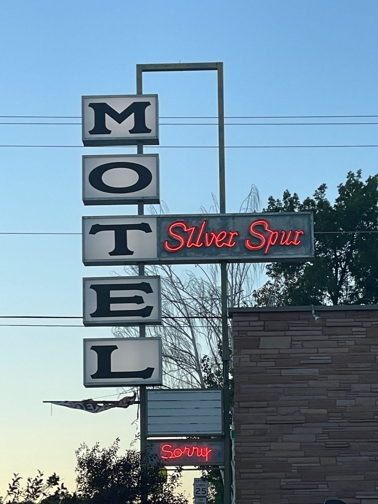
We checked in at the Silver Spur first by startling the attendant at the desk as I introduced myself, “Hi Marisa, I’m Sysiphus and you know why we’re here.” It wasn’t a question. It was declarative. She was the person I had arranged for the room a few days prior. I guess I didn’t make much of an impression in that initial phone conversation, by not declaring why we were there. She replied, “Because you need a room?” Snap, as young people used to say…
Moving along from my second lame conversation with a motel front desk person, I redirected, commenting on the retro flagstone sign and mid-century modern low pitched roofline, attempting saving grace by striking up a conversation about the place. She told us that a local rancher had purchased the motel and was in the process of restoring it to its lustrous past.
After Marisa apologized for the in-process renovation I asked if said renovation had impacted air conditioning. She replied that there wasn’t any. Snap again! She had two-upped me!! We pretended to assure her that was not an issue. She giggled admitting that I would stand with a slight lean as one leg had been pulled twice. She then recommended a walkable Mexican restaurant down the street and so we unpacked and made our way to El Toreo where we had a delicious chicken mole.

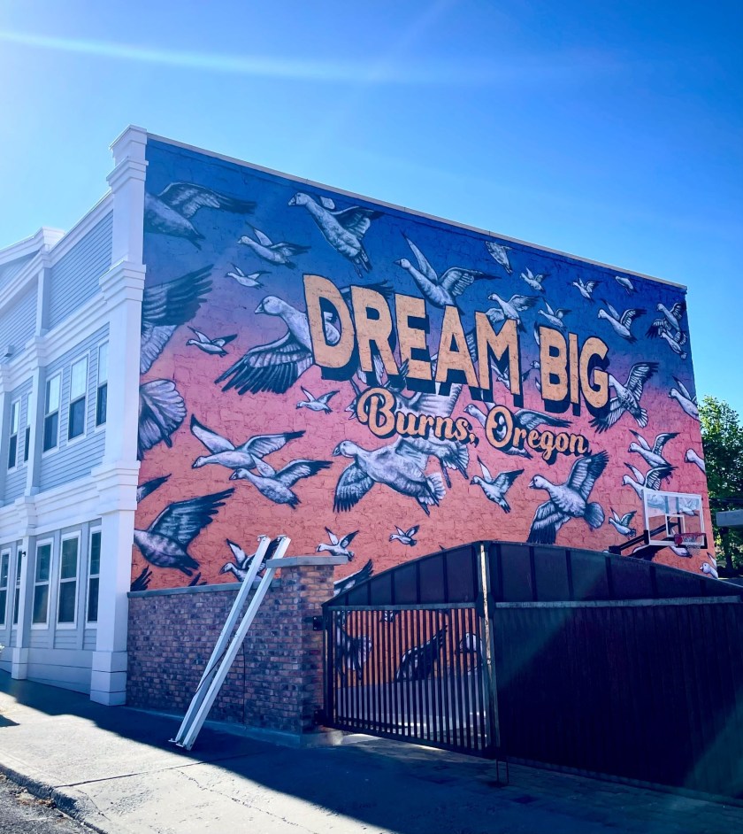

We somehow managed to find a shop willing to sell us our customary beverages enjoyed while relaxing and rehydrating as we reflected on the day’s ramble. The landscape through which we traveled this day was wide-open, with arid vistas of the Oregon High Desert and the northern limits of the Great Basin. Thirsts needed quenching.
The evening concluded as the sun set and 3-R beverages were enjoyed while the day was revisited It appeared the motel was full given the parking lot had no empty parking spaces. Despite the sign, there was nothing to apologize for. The Spur Motel was decidedly less “eccentric” than the previous night’s Diamond View stay. At least Marisa understood my sometimes obscure sense of humor (and I hers) and the Mexican cuisine was better too.
A couple we met who roomed next door had been traveling for months across the US in their Subaru Outback. They departed after dark to check out the night skies, just outside of town, away from the city lights. The region boasts some of the clearest and darkest skies in the country, offering an unparalleled stargazing experience. That reminded us of how much we missed the night skies usually reserved for camping. A comfortable mattress and air conditioning eased our nostalgia as the waxing crescent moon, Jupiter, Saturn, and the Evening Star, Venus appeared over the horizon; Mercury was too faint for our geezer vision.
Day 3 – Wednesday, June 17
Burns, OR to Stanley, ID ~286 miles
US-20 → Juntura →Vale → US-26 → OR-201 → Ontario, OR → US-30 → SW-18th St → SE-2nd St → US-30 → OR-72 → Hamilton Corner → OR-52 → along the Payette River → Horseshoe Bend → OR-55 → Banks Lowman Rd → over Grimes Pass → Lowman → ID-21 the Ponderosa Pine Scenic Rt → Stanley, ID → Mountain Village Resort
There’s More to Idaho than Potatoes
Leaving the high-desert hub of Burns, the route rolled east on US-20 through a vast landscape of sweeping sagebrush plains and dramatic rimrock cliffs. The highway hugs the Malheur River canyon, passing the quiet outpost of Juntura before opening up into the ranching valley of Vale. From there, a quick transition onto US-26 and OR-201 lead straight into Ontario, the final border town on Oregon’s eastern edge.
After navigating Ontario’s local grid via US-30, SW 18th, and SE 2nd streets, the journey crossed the state line into Idaho. Jumping onto OR-72 through Hamilton Corner and transitioning to ID-52, the terrain shifts dramatically. The road wound along the lower curves of the Payette River, trading the arid high desert for lush green riverbanks, whiteish-water rapids, and irrigated fruit orchards, alfalfa, and potato fields. The route followed the river canyon to Horseshoe Bend (not the Utah one), briefly heading north on ID-55 to the rafting hotspot of Banks where some 31 years ago I along with several knuckleheads doused ourselves on a brutally hot bicycle ride across Idaho under the bridge over the Payette River.
Here, the journey turned onto the twisting Banks-Lowman Road, taking a rugged backcountry detour over the historic, winding heights of Grimes Pass. But not before we encountered a delay. A portable, variable message sign warned of a road block. It had been placed a quarter mile down from the actual road block, some 15 miles from where the one-way only route to Stanley intersects with ID-55 WHERE SUCH A SIGN SHOULD HAVE BEEN PLACED! It was a Boise County project doing shoulder maintenance. You’d think they would have thought about the signage placement. Maybe they had…
We were the third group who had just missed the golden lunch hour transit window. The electronic messaging sign indicated that the road was closed from 8:00 am till 12:00 pm. It was open for one hour 12:00 till 1:00 pm then closed from 1:00 till 5:00 pm. Of course, we arrived at 1:15 pm. Besides the sign, virtually at the location of the road block, was obscured by being on a curve. There was no way to read the closure schedule, even at legal speed. We witnessed several vehicles that had to engage ABS to stop at the road block, apparently not seeing the signage either.
Pete and I decided to kill time and return to a small village on the Payette River, Garden Valley, to get fuel and a snack for the final push into Stanley. When we returned to the roadblock at 3:00 pm, several dozen cars, RV’s, and trucks were queued up awaiting the 5:00 pm opening. We did the only sensible thing and headed to the front of the line. We were certain of not inciting hostility since we would not hold up any traffic following us when the road did eventually open. Several of the stranded motorists came forward to chat and use the small adjacent pull out for answering a matter of internal urgency in an unscheduled pit stop to water the sagebrush.
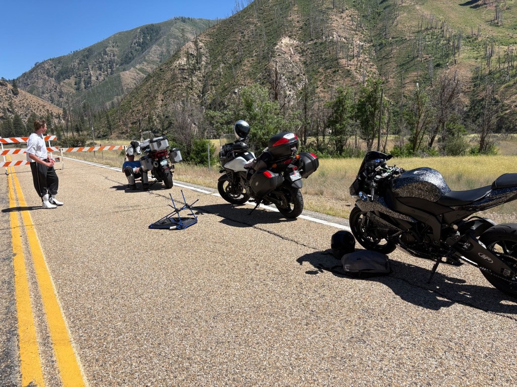
We met Donovan who rolled up after I had constructed a shade structure. Since it was just after Father’s Day and Donovan was young enough to be my son (if I had a son in my mid 50’s), I thought about my Dad and had one of those “Let’s compare our lives” conversations I often invented. “So pops, what did you do when you were younger?” He would say something like, “I survived the depression and WWII.” I would reply, “I once built a shade structure.” Feeble shade at that.
Donovan was a recent high school graduate from Boise who was headed to Stanley to join a group of friends for some summer fun at Redfish Lake Since he had no plans to continue his education beyond graduation, he seemed excited to be heading towards and endless summer.
Donovan had just acquired his Kawasaki Ninja and his only protective gear was a helmet and the boots that came with the bike. He was a nice kid and we shared lots of laughs about his being a jack Mormon, new to motorcycles, and the uncertainty of the friends he was ostensibly meeting at Redfish Lake, wearing nothing more than a tee shirt and sweatpants, boots and a helmet. Fortunately for his sake, there would be no frost on our motos the next morning.
After several false starts over the next couple of hours as the crew doing the shoulder work one by one departed, a county Sheriff rolled through the roadblock. He said he had ticked several impatient travelers who went around the roadblock. That made sense. It was a collaborative project involving county road maintenance and local law enforcement. Maybe that’s how they paid for the road maintenance. It was likely the reason for the electronic message sign placement…
The last County Road Maintenance truck finally pulled up and retired the road blocks at precisely 5:00 pm. From the preceding stream of worker’s vehicles, I’m sure they were done by 4:00 but the pickin’s for the Sheriff were too easy. Donovan, SMAP, and I jumped on our bikes and headed up the road, only modestly in excess of the speed limit for we didn’t want to hold up the parade behind us, hoping there would be no automated message boards that we might miss before encountering another road block or a second Sheriff in waiting.
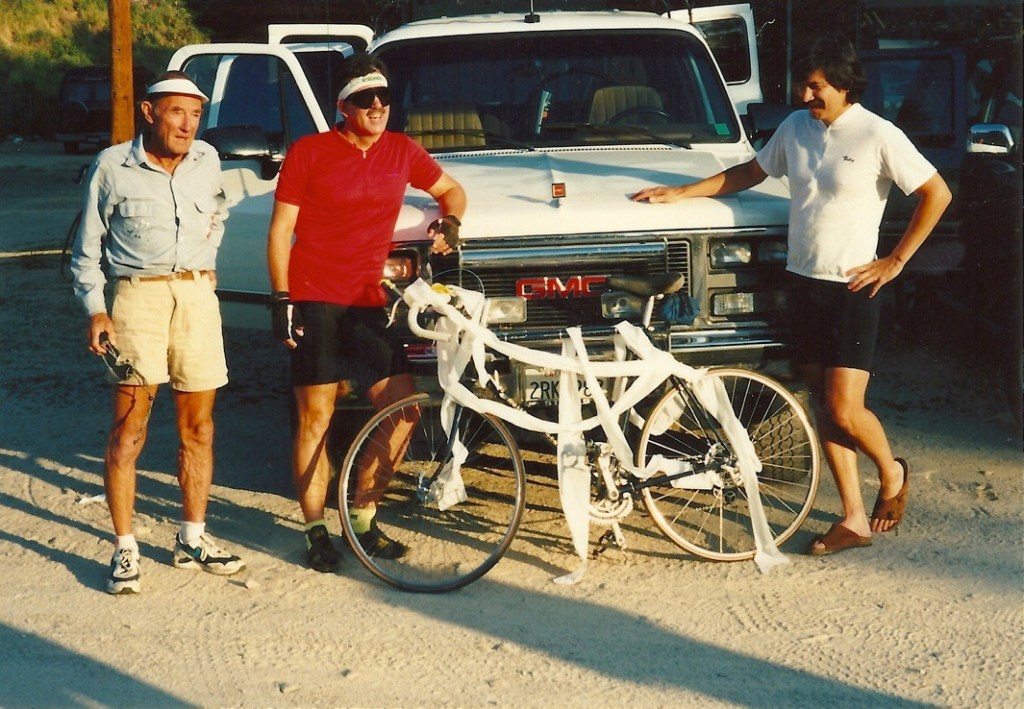
Dropping down into the mountain pocket of Lowman, where in 1995 on that bicycle ramble mentioned earlier with that bunch of knuckleheads, there witnessed this shameful spectacle.
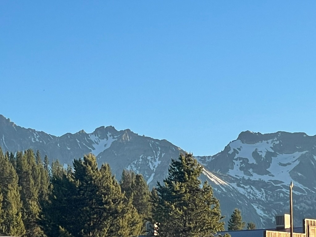
From Lowman, the route joins ID-21—the Ponderosa Pine Scenic Byway. This stunning road climbs deep into pure alpine wilderness, cresting the 7,056-foot Banner Summit before descending into the spectacular mountain basin of Stanley, where the jagged wall of the Sawtooth Mountains rises sharply behind the Mountain Village Resort. We had lost contact with Donovan around Lowman, but saw him whip by as we were unpacking. He must have stopped for fuel. Hopefully not for a Sheriff.
The Rodeo Comes to Stanley
Remembering the much more modest accommodations back in 1995 where the Knuckelheads spent the night stoked by the epic climb over Banner Summit and now inspired by a wee bit of California viticulture…

… it was rodeo time in Stanley, time to raise a glass to the past, and embrace the future.

Sadly, I departed with no buckle and my parents remain married in perpetuity
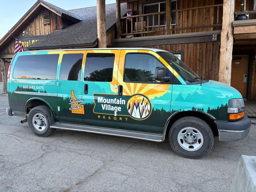
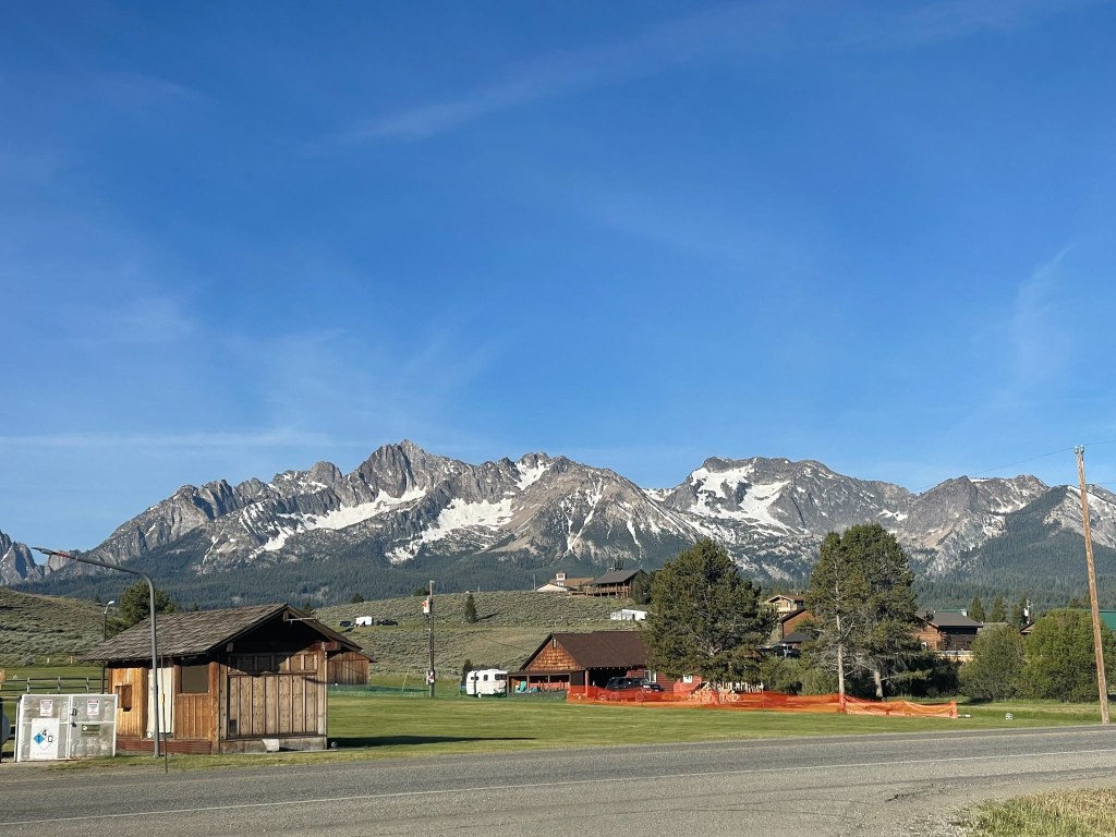
The following morning was clear and coolish, not cold. Several groups of motorcycles were traveling through Stanley mostly “adventure” types, with a smattering of Harley baaaaggggerrrrs. Demographically, we pretty much fit the mold of the two-wheeled geezer “adventure” ramblers suited up in ATGATT resembling the Michelin Man. Even the Harley guys had traded their leather vests for jackets. A couple with fringe.
The resort was also the launching point for multi-day raft tours of the Salmon River. Given the volume of gear each rafter was hauling, I began to feel as though the additional 50 pounds of camping gear I could have brought wasn’t that much of a big deal. Except it was.
Day 4 – Thursday, June 18
Stanley, ID to Thayne, WY ~290 miles
ID-75 → Challis → US-93 → Arco → US-26 past the INL → US-20 → Idaho Falls → E-49 N → US-26 → along the Snake River and Palisades Reservoir → Alpine, WY → US-89 → Thayne, WY→ Swiss Mountain Motel and Lenny
The Salmon River Canyons to the Volcanic Desert
Our journey began on ID-75, carving northward through a dramatic, steep-sided canyon carved by the Salmon River. Several hot springs lie adjacent to the river. The terrain here is highly vertical, defined by rocky cliffs and the towering peaks of the Salmon River Mountains.
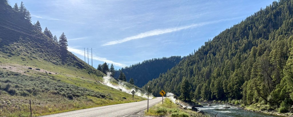
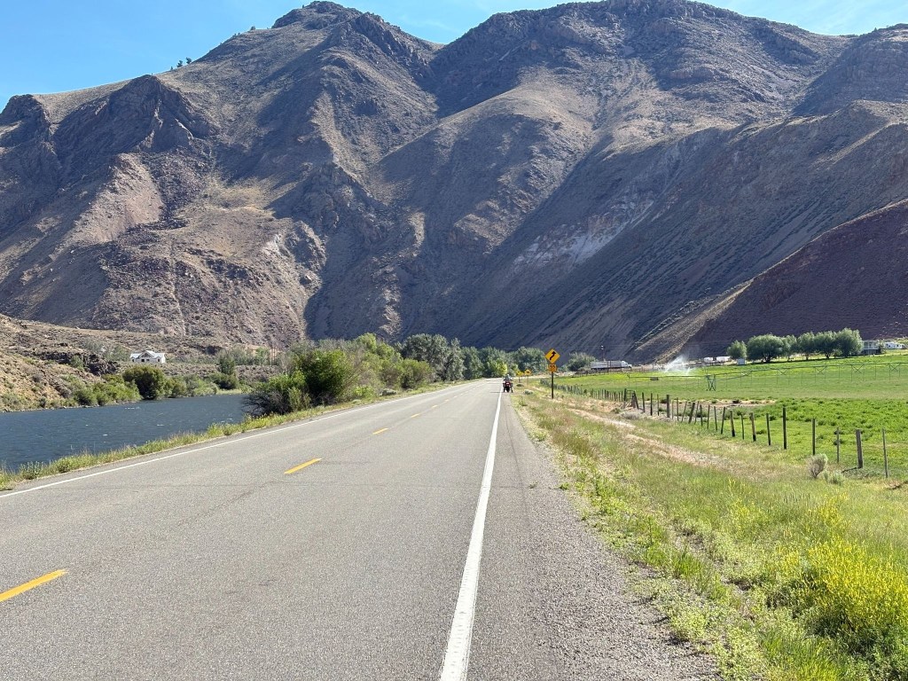
As we reached Challis, the landscape began to fracture and turning southeast onto US-93, the narrow canyon abruptly opened into the sweeping, wide-open expanse of the Round Valley. To your left and right, massive mountain walls hem you in, with Idaho’s highest peak, Mount Borah, dominating the eastern horizon. Continuing south toward Arco, the rugged mountains begin to recede, flattening into the northern fringes of the Snake River Plain.
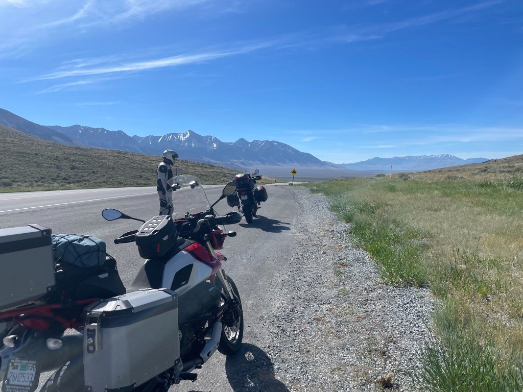
Leaving Arco on US-26, the terrain transitions into an otherworldly, barren expanse as you roll directly past the Idaho National Laboratory (INL). This segment is characterized by vast, flat sagebrush desert, underlain by ancient, black basalt lava flows that stretch out seamlessly toward the horizon.
What is now Idaho National Laboratory in southeastern Idaho began its life as a U.S. government artillery test range in the 1940s. Shortly after the Japanese attacked Pearl Harbor, the U.S. military needed a safe location for performing maintenance on the Navy’s most powerful turreted guns. The guns were brought in via rail to near Pocatello, Idaho, to be re-sleeved, rifled and tested. As the Navy began to focus on post-World War II and Cold War threats, the types of projects worked on in the Idaho desert changed, too. Perhaps the most well-known was the building of the prototype reactor for the world’s first nuclear-powered submarine, the USS Nautilus. Form the kiosk display.
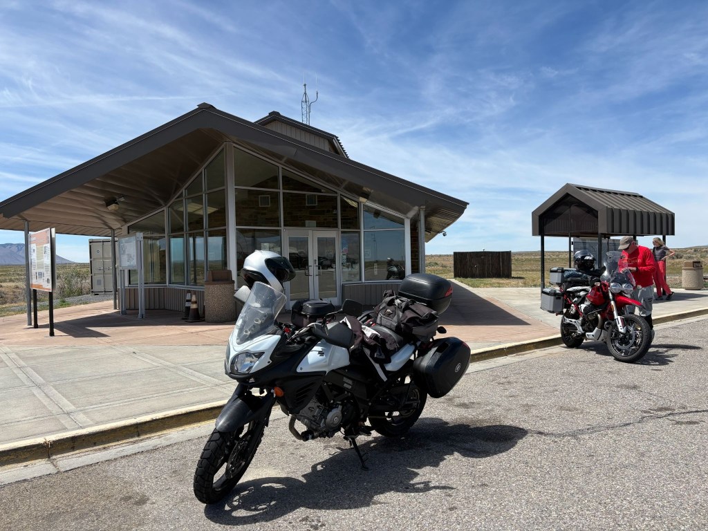
The perfect place to develop nuclear submarines
The Upper Snake River Plain
As US-26 merges into US-20, the road carried us straight into Idaho Falls, a bustling urban hub built over the roaring-ish waters of the Snake River. Leaving the city, we transitioned onto E-49 N (locally known as the Bone Road or Hitchen Cemetery Road), rolling momentarily into rolling, agricultural benchlands. These irrigated, high-elevation farmlands feature sweeping fields of grain and potatoes and an occasional antelope, undulating gently before dropping us back down to meet US-26 East.
The Caribou Mountains and Snake River Canyon
Heading east, the terrain transforms dramatically. The flat plains vanish as US-26 enters the Snake River Canyon, tracking the path of the river as it cuts through the heavily forested Caribou Mountains. By the way, we saw no caribou. The road huged the contours of the canyon floor, squeezed between rushing water and steep, pine-covered slopes. Soon, the river widened and calmed, opening up into the spectacular Palisades Reservoir. For several miles, we rolled along a shelf carved into the mountainside, looking out over a massive, deep-blue body of water framed by timbered ridges.
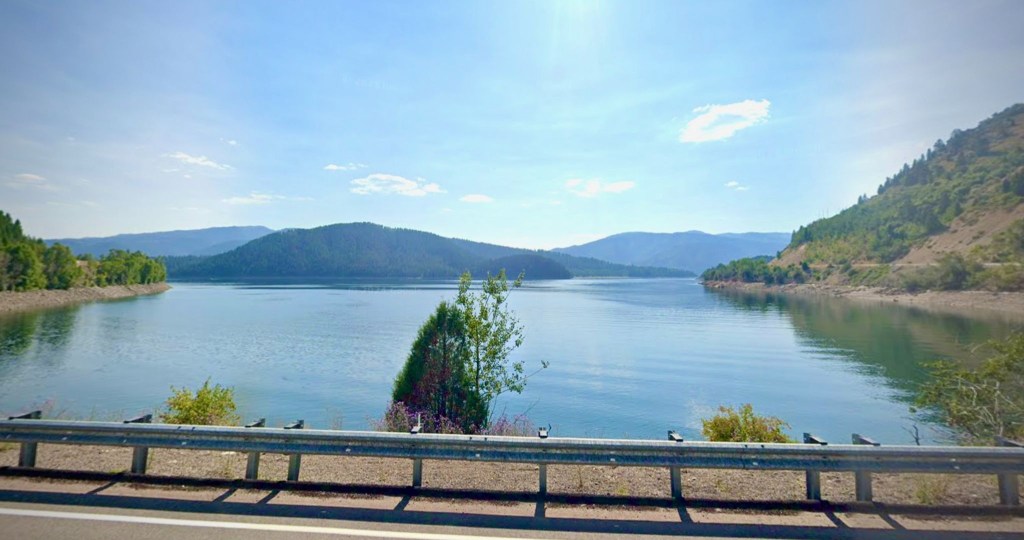
The Star Valley Descent
At the southern tip of the reservoir, we crossed the state line into Alpine, Wyoming, where the Snake, Greys, and Salt rivers all converge. Picking up US-89 South, the canyon walls fall away entirely, revealing the pristine alpine floor of the Star Valley. Known historically as “Little Switzerland” due to its lush green summer pastures and dairy farming heritage, the valley floor is wide, flat, and remarkably pastoral.
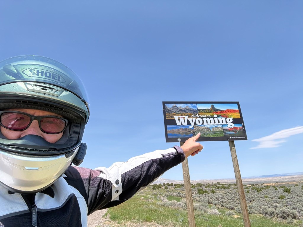
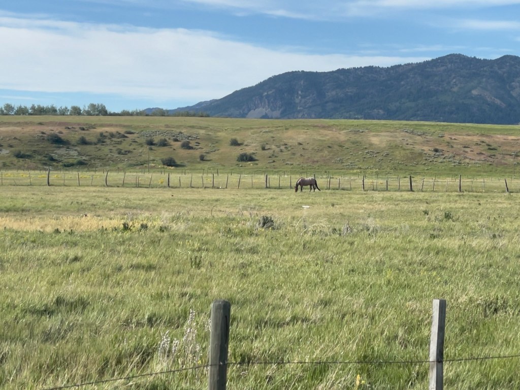
We cruised south along the vibrant valley floor, flanked symmetrically by the dramatic crest of the Salt River Range to the east and the Caribou Range to the west. The terrain remained a smooth, scenic flatland all the way into the quiet town of Thayne. On the north side of town, set against the backdrop of these towering green mountains, day four concluded at the vintage, ground-floor property of Lenny’s, Swiss Mountain Motel.
Our original plan was to stay in Jackson, WY that night. After contacting eleven motels in a 50 mile radius of Jackson, none of which had an available room, it was recommended that we try the Swiss Mountain in Thayne. “Remember that sometimes not getting what you want is a wonderful stroke of luck.” ~ Dalai Lama.
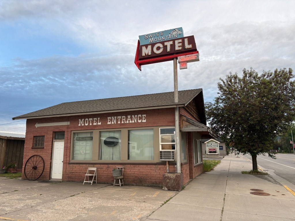
We’ve learned, having rambled through two dozen of these adventures, that the landscapes speak deeply to our appreciation of the natural beauty of the West — but it is invariably the folks we meet along the way who resonate long after the mountains, rivers, plains, and forests have blurred into one.
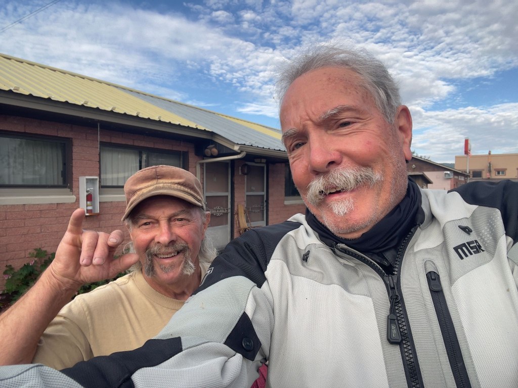
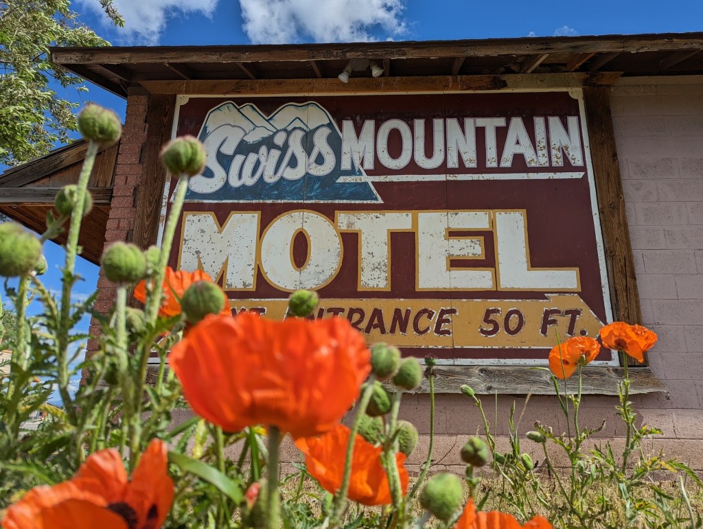
The owner and operator of the Swiss Mountain Motel is Len Roman. He originally purchased the vintage property in 1995 with his late wife, Cindy. Following her passing in 2019, Len has continued to run the day-to-day operations. He’s the room servicing maid, the front desk attendant, gardener, and general maintenance man. It’s a one man show. Unlike Ming, he didn’t retreat to the laundromat when I attempted humor.
He frequently interacts directly with guests as the primary host and property manager. Lenny, as we came to know him, was a fellow biker. Short in stature, tall in opinion, large in generosity, and plentifully, yet cordially sarcastic, Lenny is my kind of motellier.
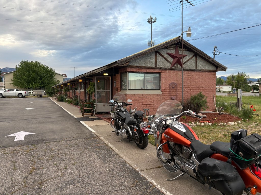
Besides being an affable host, Lenny had something of a snarky vein too. Not much slack was cut for the pretension of a Moto Guzzi. After losing the ATGATT and donning my yellow plaid button up shirt and khaki shorts, Len stops me and points north saying, “That’s the way to the golf course…” I later convinced him of my authenticity as a khaki shorted moto-rambler, in a yellow plaid button up shirt, beer drinker by lifting my pinky as I brought the can to my lips.
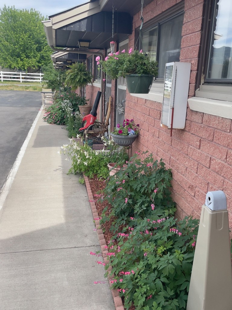
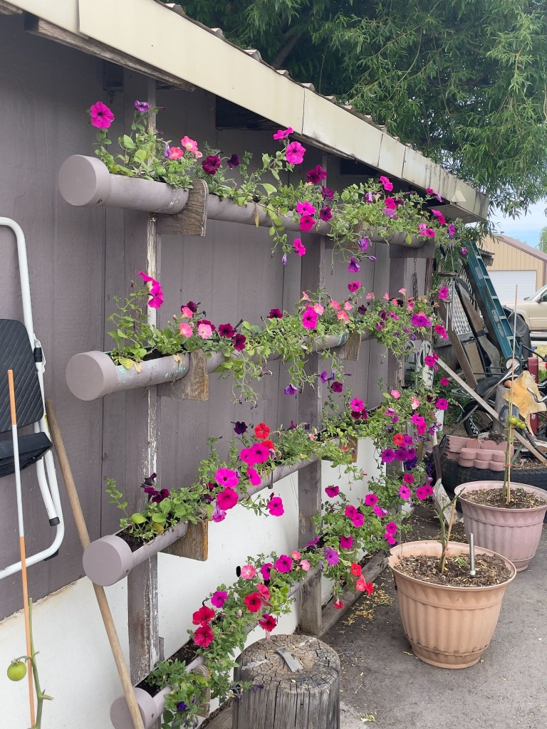
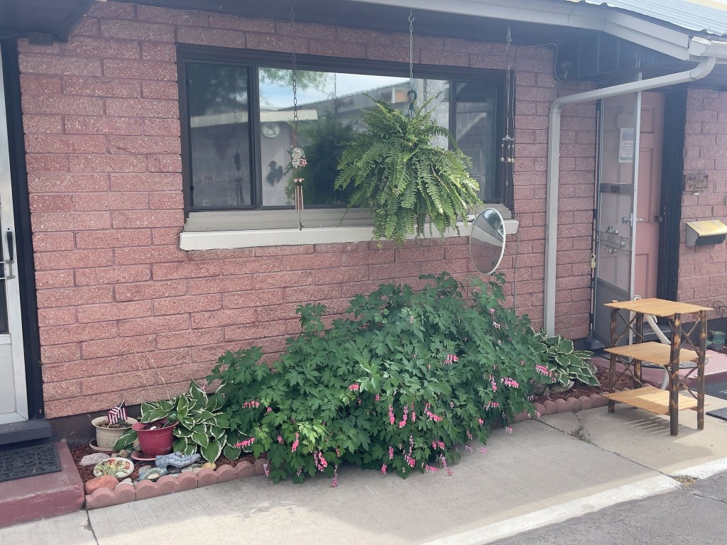
Lenny is also something of a collector on the verge of being a hoarder. He operates The Salt River Trading Post as he tends to his motel garden of bleeding hearts, petunias, hostas, and columbine with obvious care, then runs a floor-to-ceiling emporium of organized chaos open by appointment only. The garden says curator. The Trading Post says accumulator. Lenny himself seems somewhere in between.
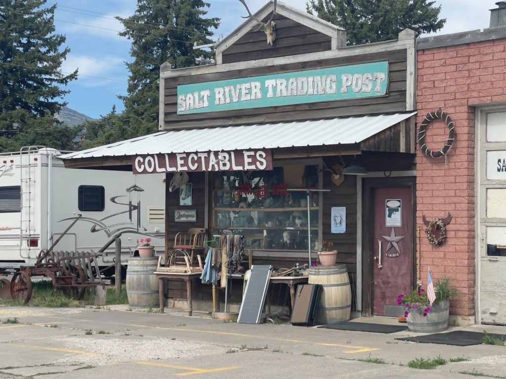
In researching background, I found a scathing review of the Trading Post that was posted on the local Chamber of Commerce website back in 2022:
So junky most items cannot be easily seen or viewed. The owner does not deal on prices at all even though by his own admission he’s not been open due to family illness. His things are overpriced for condition and he talks to customers like they know nothing even when it is clear from conversation that they do. Take home-junky overpriced and impossible to navigate to see anything. Stop to look but don’t expect decent prices. He’s selling to tourists.
The Chamber review was written by someone who, besides having grammar issues, wanted to buy something and couldn’t, or wouldn’t at Lenny’s price. That’s a transaction that failed. Their Lenny is a difficult vendor with inflated prices and a chaotic inventory. Every complaint is probably accurate. I personally found the collection to be worthy of awe. Now my wife would have made some disparaging comparison to our garage. IMHO, ours is a garage filled with objets d’art.
Our Lenny is someone we weren’t trying to buy anything from. We were just two road-worn bikers who passed the pinky test and got the private tour. That Lenny — the one who tends bleeding hearts outside every room door, who knows exactly where the 1957 Hamm’s Beer sign is buried under the Roy Rogers lunch pails and the taxidermied badger and changes sheets and towels — that Lenny is a genuine eccentric, not a shyster.
A hoarder thinks everything is precious; a collector knows why everything is precious. Lenny sounds to me like the latter. It takes one to know one, eh? He talks to customers like they know nothing because, in his estimation, they usually don’t — and he’s probably right about his inventory if wrong about his bedside manner. (I hope my wife doesn’t read this…)
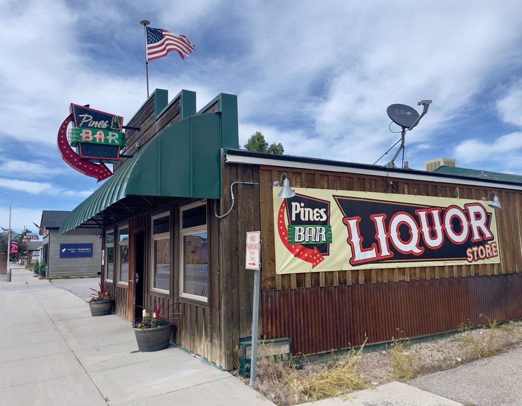
The Pines Bar is the only place in Thayne that one could procure 3R’s beverages that could be taken out. So, we sampled the merchandise before entering the beer cave to procure our rehydration, relaxation, and reflection selection for the evening.

The barkeep, Liz, upon learning we were staying at the Swiss Mountain, asked us to remind Lenny that he needed to come by and get a smoothie (upper right above). In fact she then asked if we would take him one, on the house. That tells you a lot about the good folks in Thayne, looking after one another. We dropped off the smoothie and Lenny, in fine curmudgeonly fashion, expressed his gratitude by complaining that it wasn’t his favorite berry, but coconut…
Both Liz and Lenny recommended Dad’s Bar and Steakhouse for dinner, right across US-89 from the motel. Each recommended getting in early as the place fills up pretty quickly around the dinner hour.
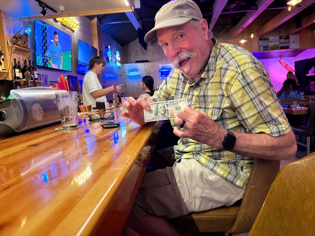
SMAP had a burger and I had a Lil’ Buddy prime rib sammy from the bar menu. Even though I was flashing a Benjamin, we opted for the modestly priced bar menu rather than the full on steakhouse menu. One doesn’t exactly burn a full measure of calories sitting on a motorcycle all day. Dad’s bar menu was also recommended by Lenny.
Our dinner mates at the bar were a fellow and his wife who had sold their property in Sonoma, CA, purchased a large motorhome and trailered their Kawasexy Vulcan bagger around using it to visit sites of interest in the vicinity of their chosen RV park for the day, week, or month. They too had chosen Thayne rather than Jackson for reasons similar to ours.
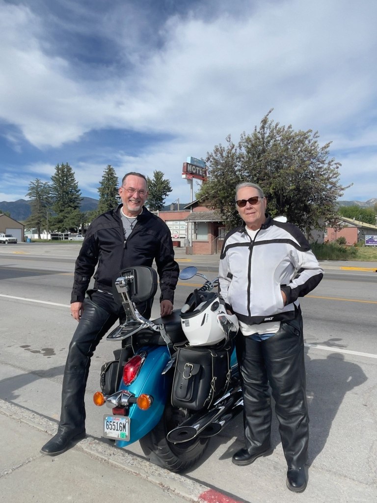
Back at the Swiss Mountain après dinner garden gathering we enjoyed trading stories of our travels in the company of a couple from the Midwest who had checked in to the Swiss Mountain on their way to National Park points north. Around the Swiss there were always chores to be done. Lenny was mowing the lawn.
A group of six or so young men piled out of a car, one of whom mistakenly entered our room thinking it was his. His friends berated him and apologized profusely. I suggested a $20 fine, citing obscure Wyoming trespass law. They hastily made their way to their actual room next to ours. A pickup pulled into the lot towing a commercial dog trailer. Seems that in Afton, down the road, a big herding trials competition was happening and this Wisconsin couple, though not competing, had brought beautiful border collies, perhaps to watch and learn. They are smart K-9’s. Probably bored watching K-9 trial YouTube videos.
As the sun was setting, Lenny joined us having finished his yard work. The conversation began to warp a bit as Lenny described his conspiracy mindedness. Once again evidence of the pervasiveness of doing one’s own research on the internet. It was mostly innocent and those of us less inclined to subscribe to some of his notions, in good cheer, listened respectfully, suppressing our scepticism, only allowing for an occasional chuckle so’s not to offend. Indeed, there was no vacancy at the Swiss Mountain Motel.
Day 5 – Friday, June 19
Thayne, WY to Vernal, UT ~263 Miles
WY-89 → Smoot → Geneva → US-30 → Cokeville → Diamondville → US-189 → WY-412 Carter Cutoff Rd → WY-414 at I-80 → Mountain View, WY → Lonetree → Wyoming/Utah border and UT-43 → Manilla, UT → UT-44 → US-191 S Flaming Gorge All-American Road → UT-44 Red Canyon → US-191/US-40 → US-6 Price Canyon → Patriot Stay Motel
The route from Thayne to Vernal wasn’t complicated. Since my phone was virtually useless as anything but a phone with text, both important functions to keep my wife posted of our location and well-being, and then only intermittently, with no functional navigation or internet search. I won’t get into SMAP’s use of maps. He’s an Apple Maps guy. I’m a Google Maps guy. It’s like he’s a Dodgers fan and I’m a Giants fan.
Full disclosure: I’ve reconstructed the following, as most of the preceding, from memory and our photos and have post-trip internet capability to check the maps and routes I’ve noted for accuracy. Yes, I did my own research and it is factually accurate. SMAP is my fact checker. So much for the Giant-Dodger rivalry.
The Mountain Valleys & High Deserts (WY-89 to Diamondville)
Our journey began on WY-89, winding through the Star Valley—a green, high-altitude alpine haven hemmed in by the Salt River Range. Passing through the quiet community of Smoot, the road climbed and dipped past pine forests and rolling pastures. As we crossed the state line near Geneva, Idaho, and headed east onto US-30, the scenery began to dry out. The lush valley gradients slowly gave way to the rugged, sagebrush-speckled hills of Cokeville. Following the path of the old Oregon Trail, the terrain stretched into wide-open Wyoming ranch land, flattening into a vast, high-desert plateau of stark beauty as we approached the historic coal-mining town of Diamondville.
The Sagebrush Steppe & Badlands (US-189 to Manila)
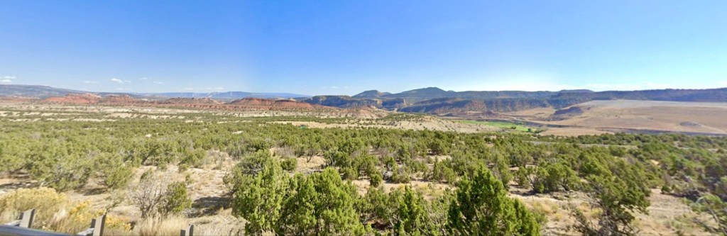
Turning south on US-189 and cutting across WY-412 (Carter Cutoff Road), we entered an isolated, wind-swept landscape. This is classic Wyoming basin country: wide horizons, oil rigs, and rolling hills blanketed in low brush. At I-80, we picked up WY-414, heading south toward Mountain View and Lonetree. Here, the flat plains began to ripple. Striated badlands and red-dirt bluffs peeked out from the soil, signaling our approach to the Uinta Mountains. Crossing the Wyoming/Utah border onto UT-43, the expansive ranching country dropped down into the small, oasis-like valley town of Manila, Utah.
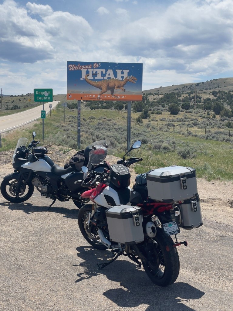
The Flaming Gorge & High Uintas (UT-44 to Red Canyon)
Leaving Manila on UT-44, the landscape shifted dramatically as we climbed into the Ashley National Forest, now on the US-191 Flaming Gorge All-American Road, surrounded by thick stands of ponderosa pine and Douglas fir. The climax of this stretch is Red Canyon. The forest suddenly dropped away into dizzying, vertical cliffs of vibrant, fiery-red quartzite. Below, the deep green waters of the Green River and Lake Flaming Gorge snake through the bottom of the chasm, creating one of the most stunning color contrasts in the American West.

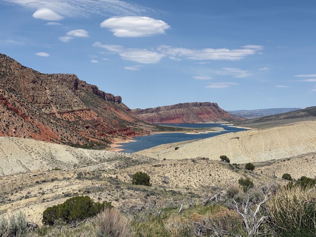
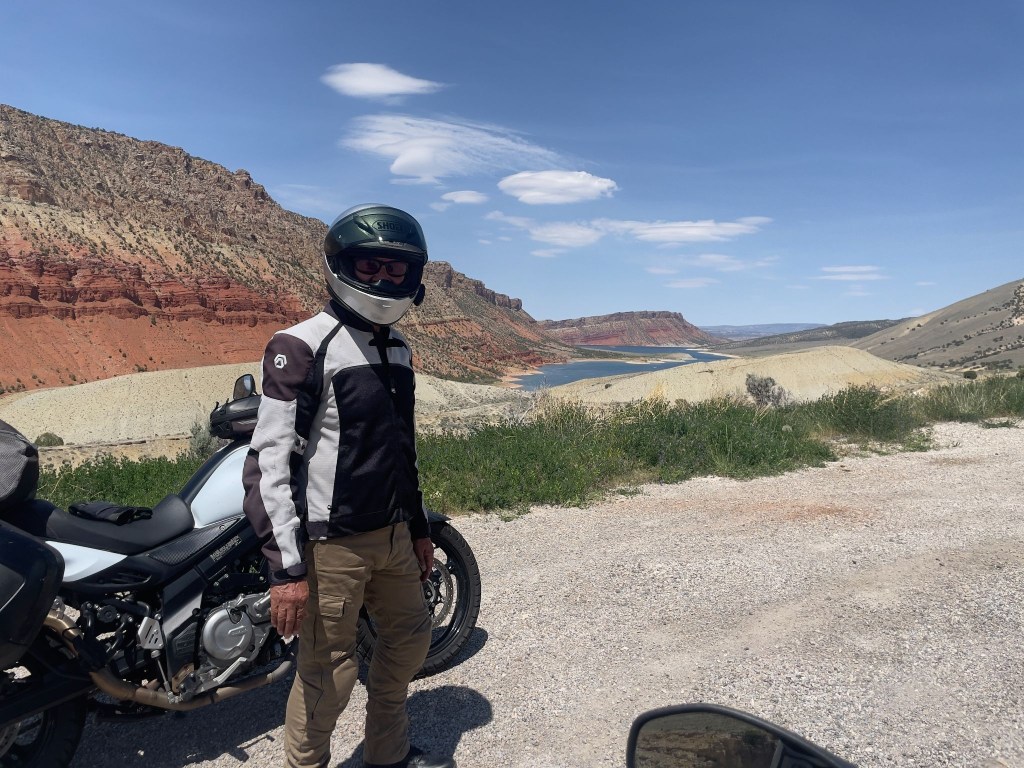
The Uintah Basin to the Desert Canyons (US-191/US-40 to Price Canyon)
Descending the southern slopes of the Uintas, the pines vanished, and we spilled into the arid Uintah Basin. Traveling the shared stretch of US-191 and US-40, the landscape turned into a sun-baked desert of exposed sandstone and gray shale hills.
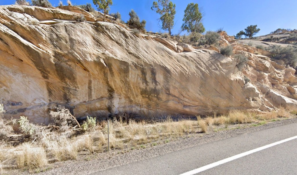
On to Vernal, the first leg of our Utah ramble looped back into the heart of the Uintah Basin, concluding on the historic Main Street of Vernal at the Patriot Stay Motel. This family-owned property features a distinct patriotic theme and puts you just steps away from the heart of the Right Petunia Triangle of the Patriot Stay Motel, the Utah Field House of Natural History State Park Museum, and the Vernal Brewing Company.
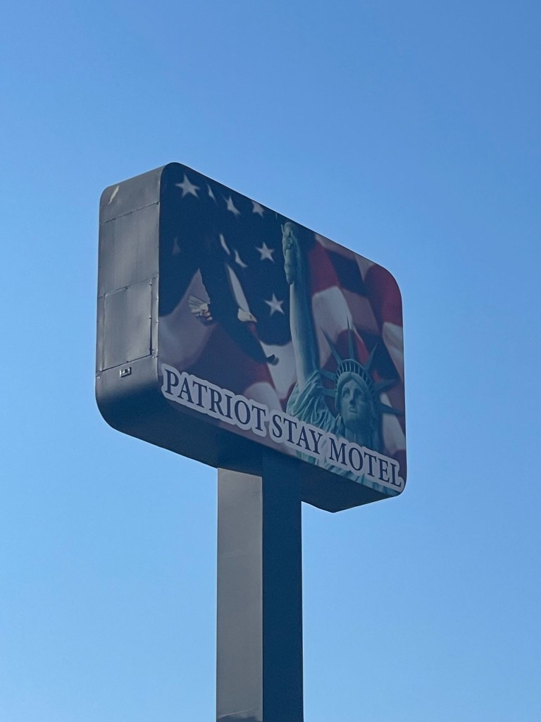
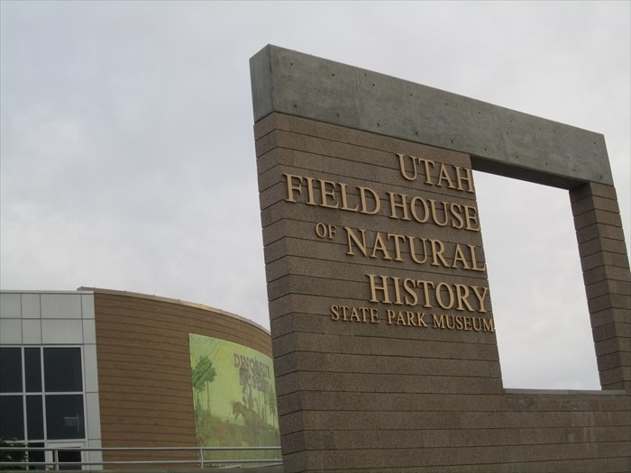
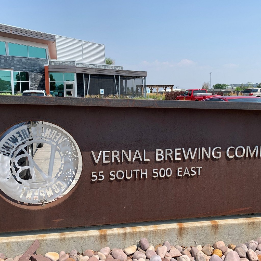
With a side of what many Utahns believe to be antediluvian critters, some brightly painted
The folks who market Utah’s natural history have definitely done the deep dino dive. Utah is deeply, single-mindedly obsessed with dinosaurs, treats them like local celebrities, and practically makes them the state’s entire personality. It is the only place where you can drive down a highway, spot a massive fiberglass Triceratops, and not even blink because you just passed three others outside a gas station.
The state boasts the highest concentration of Jurassic bones in the country, and locals treat these ancient fossils less like scientific anomalies and more like treasured family members. In fact, Utah loved dinosaurs so much they designated the Allosaurus as the official state fossil, because apparently, having a state bird just felt too mainstream.
From roadside dino parks with roaring animatronics to actual towns named “Dinosaur,” the state’s prehistoric fixation proves that while the beasts may have gone extinct millions of years ago, Utah is doing everything in its power to keep the spark alive.
Here are the more evidence-based recreations of these spectacular beasts…
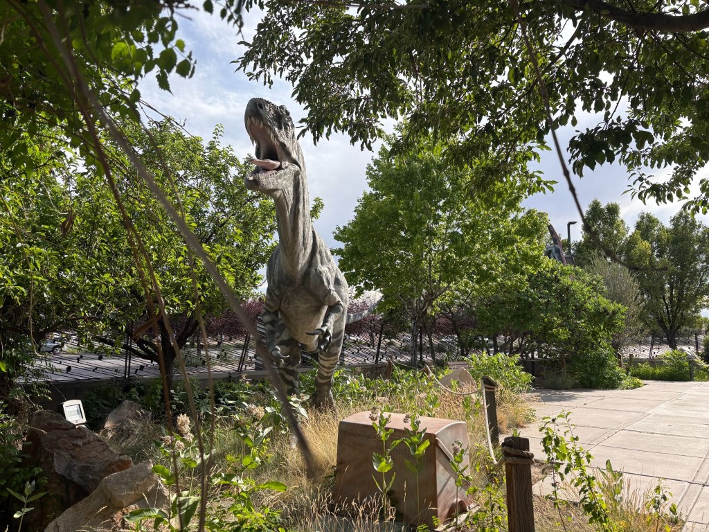
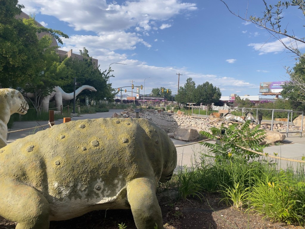
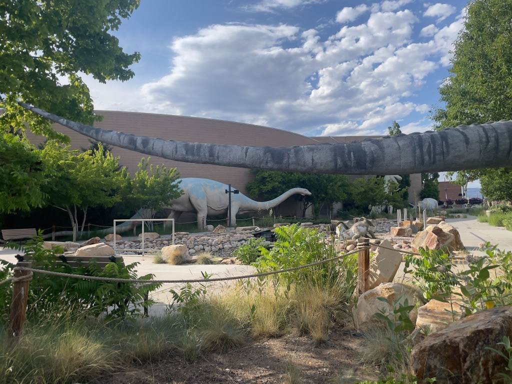
And those the Chamber of Commerce distributes about town…
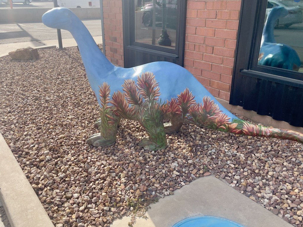
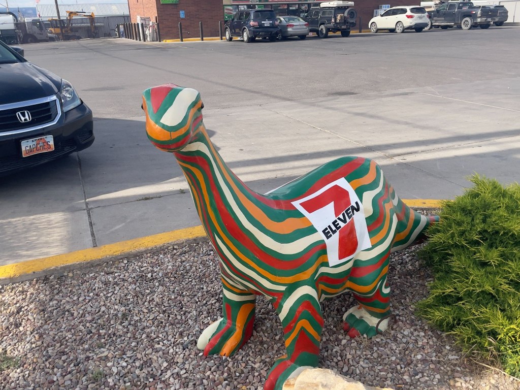
Apparently the rodeo was happening on our Vernal day through the weekend. We opted for procuring nourishment, a beet salad with chicken for moi and a salmon salad for SMAP at the Vernal Brewing Company, across from our motel, and a return trip across US-191, the Main Street, to the 7-11 for 3R’s beverages thus completing the Patriotic Petunia Triangle of Vernal, Utah. Since the Stanley Rodeo was a bust I wasn’t going to take any chances in Vernal.
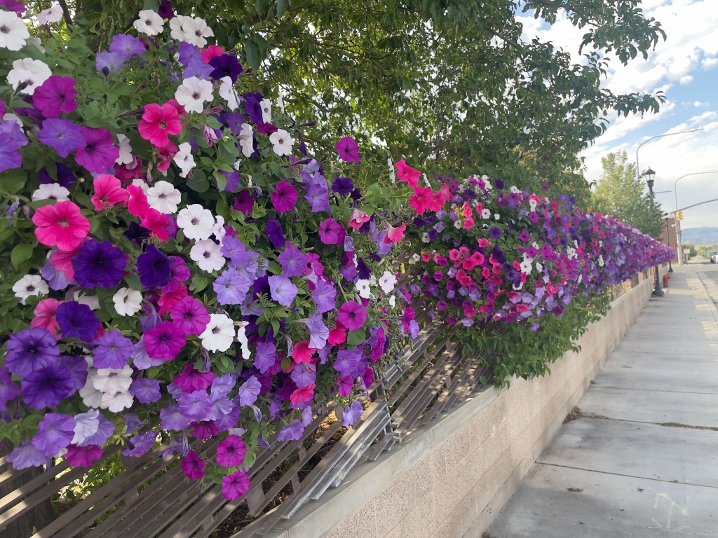
The Sisyphean Ramble Planning Criteria (SRPC) gave the Patriot Motel a three of five star rating. The air conditioning, luxurious towels, and proximity to mangia e bevi and the Utah Field House of Natural History State Park didn’t quite live up to the gold standard of motels, the Y in Chama. Because it wasn’t raining, there were point deductions. The parking lot cancelled the rain deduction. Hence, a 3 out of 5 star rating. It’s a complicated system.
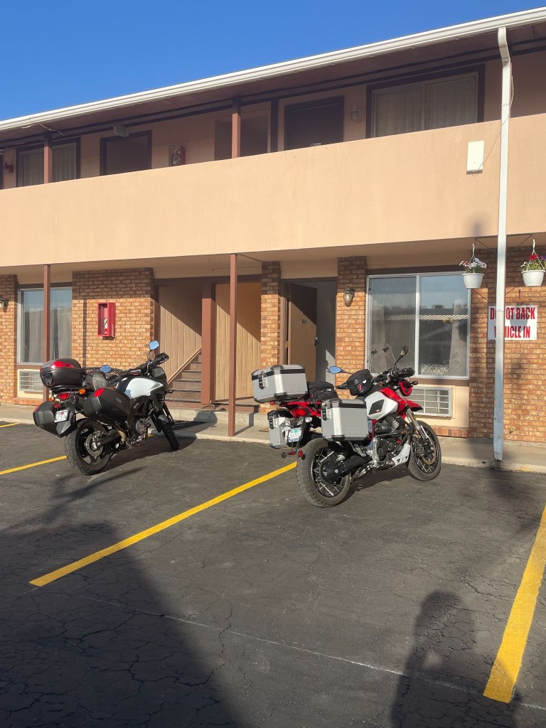
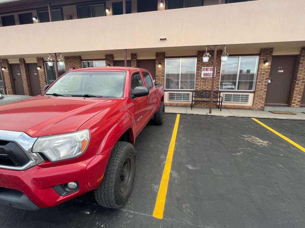
We assumed it meant for each parking spot
Day 6 – Saturday 6/20
Vernal, UT to Torrey, UT ~280 mi
US-191 → Ft. Duchesne → Duchesne → Castle Gate → Price → UT-10 → under I-70 → UT-72 → Fremont → UT-24 → Lyman → Torrey → Rim Rock Inn
The Uinta Basin and Energy Corridor (Vernal to Duchesne)
The journey on Day 6 began in Vernal, a green valley oasis, somewhat less green because of persistent drought, famous for its dinosaur history. Leaving town heading west on US-40, the landscape opens up into the vast, arid expanse of the Uinta Basin. To your right, the distant, pine-covered peaks of the Uinta Mountains rise along the horizon.
We passed through Fort Duchesne, the tribal headquarters of the Ute Indian Tribe, marked by sprawling ranch lands and cottonwood trees along the Whiterocks River. By now the digital (Google Maps/Apple iPhone) navigation was completely kaput. Taking out the paper map (California State Automobile Association) we made a slight error in taking the road to Ouray. It would have been one of those serendipitous errors had we gone on to Ouray. Just northeast of the community lies the Ouray National Wildlife Refuge, an oasis established in 1960 that covers nearly 12,000 acres along the Green River.
Once we discovered we were headed away from Torrey, after a quick CSAA map check discovering that the turn we wanted was down the road a bit further at Duchesne (without the Fort prefix), we continued west as the highway cut through rolling clay hills and oil-field country until we reached Duchesne, a quiet river town sitting at the junction of the Strawberry and Duchesne rivers. With no fort.
Through the Canyons to Coal Country (Duchesne to Price)
From Duchesne, we turned south onto US-191, beginning a steady climb out of the basin. It was here that the magnetic clasp on my tank bag let loose and that was that for the paper map. It went flying off to the side of the road. At that point, it was fate that we would navigate from fading memories and road signs. Until SMAP purchased a map in Torrey. Maps, once prolific in gas stations, have conceded to the digital world.
The road wound through Indian Canyon, where Sagebrush flats gave way to juniper trees and eventually thick groves of aspen and pine as we crested the summit. Descending the southern slope, the canyon narrows significantly. We emerged at Castle Gate, named after the famous, towering rock formation that resembles a medieval fortress guarding the canyon mouth. Turning onto US-6, you enter the rugged Price River Valley and arrive in Price, a historic mining and railroad hub dominated by dramatic, book-cliff mesas.
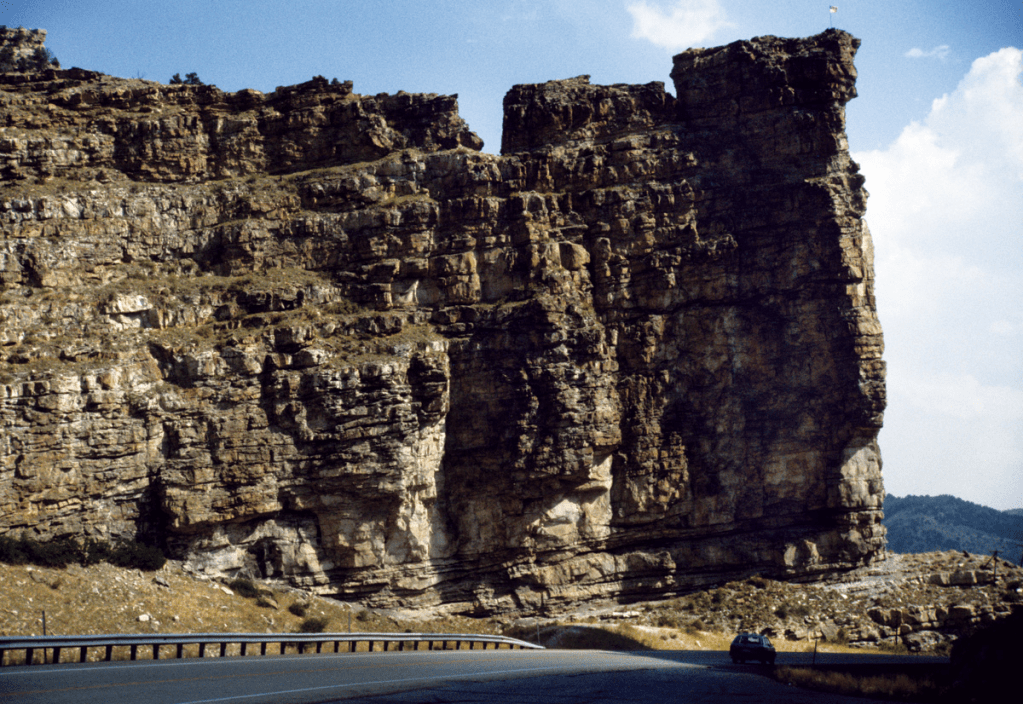
Over the Volcanic Plateaus (Price to Fremont)
Heading south from Price on UT-10, we traveled through the Castle Valley corridor. To our right, the massive, flat-topped wall of the Wasatch Plateau kept us company for miles. We passed quiet farming communities like Huntington and Castle Dale.
As I was turning onto the I-70 on-ramp our hunch to make it to Torrey based on SMAP’s Apple Map, he urgently demanded I STOP! over the comms. He then investigated an underpass eventually diving south under the concrete spans of I-70 near Fremont Junction. Again, comms compromised by the concrete underpass, he’s shouting for me to STOP, STOP! I was stopped. Against my better judgement, I made a quick U-turn going in the wrong direction off the on ramp.
I then joined SMAP on the route that transitions to UT-72 and ascends the high, windswept expanse of the Wasatch Plateau. This section is a dramatic wonderland of alpine meadows, deep forests, and black volcanic boulders, offering expansive views of the San Rafael Swell to the east before dropping gently down into the high valley town of Fremont.
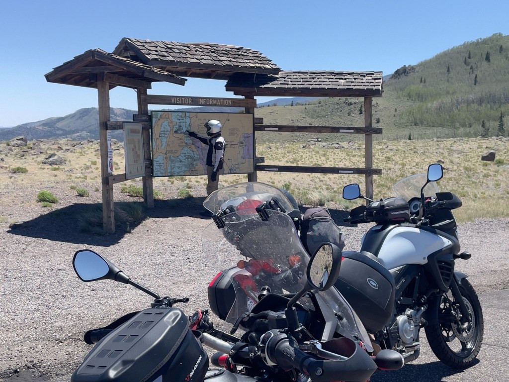
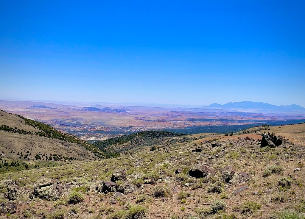
Into the Red Rock Country (Fremont to Rim Rock Inn)
From Fremont, a short roll connects you to UT-24, where the scenery changes instantly. The green mountain pastures vanish, replaced by irrigated fields and the brilliant, sun-baked red dirt and white sandstone of Wayne County. We passed through Lyman, a peaceful valley community where on the last Knucklehead bicycle ride in 2015 we had breakfast before tackling the road up to Hogan Pass.
We followed the Fremont River as it carves its way toward the spectacular Waterpocket Fold. The road leads into Torrey, a tree-lined gateway town shaded by massive historic cottonwoods. Just east of Torrey, sitting high on a panoramic plateau with unobstructed, jaw-dropping views of the towering red cliffs of Capitol Reef National Park, our journey concluded for the sixth day at the Rim Rock Inn.
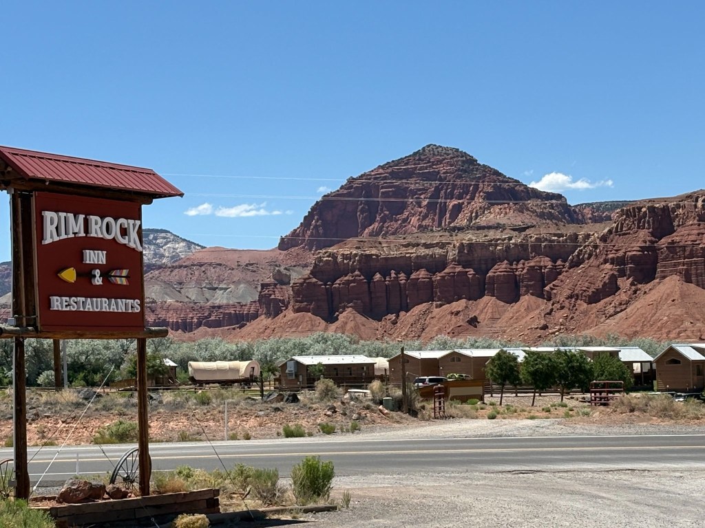
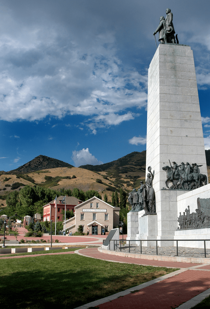
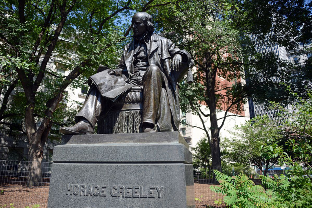
The arrow on the sign points to the Rim Rock Inn. The buildings pictured in the background, given the conestoga wagons, must be a Latter Day Saint pioneer dormitory. “Go West young man and grow with your country!” Wait, that was Horace Greely and not Brigham Young who famously said, “This is the right place, drive on” about the Salt Lake Valley.
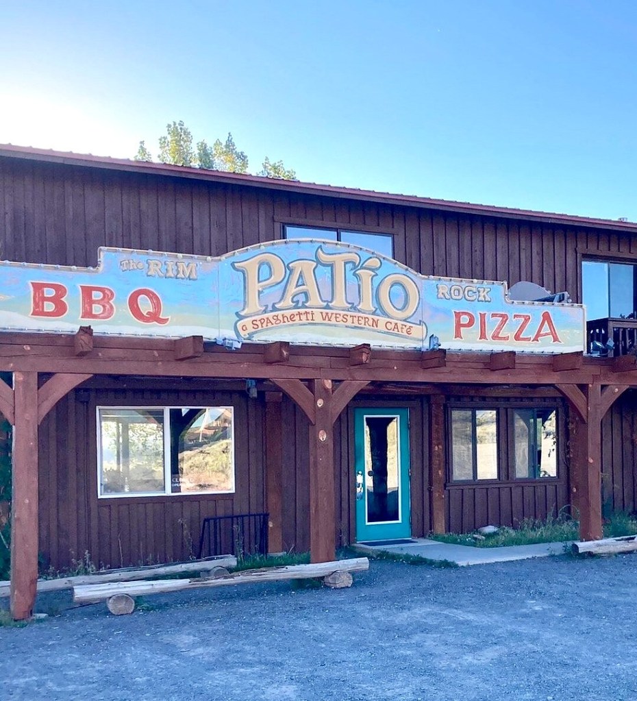
After checking in, we ambled down to the Rim Rock Patio for a well-earned whistle wetter—cold, crisp, and exactly what seven hours of Utah highway demanded. From there, a quick errand into Torrey for the 3R provisions, before we drifted back to the Patio and let a wood-fired pizza seal the day. Following the tip Lenny gave us in Thayne, we opted for the “bar” menu of the Patio pub, a decidedly less formal restaurant than the fancy steakhouse attached to the motel.
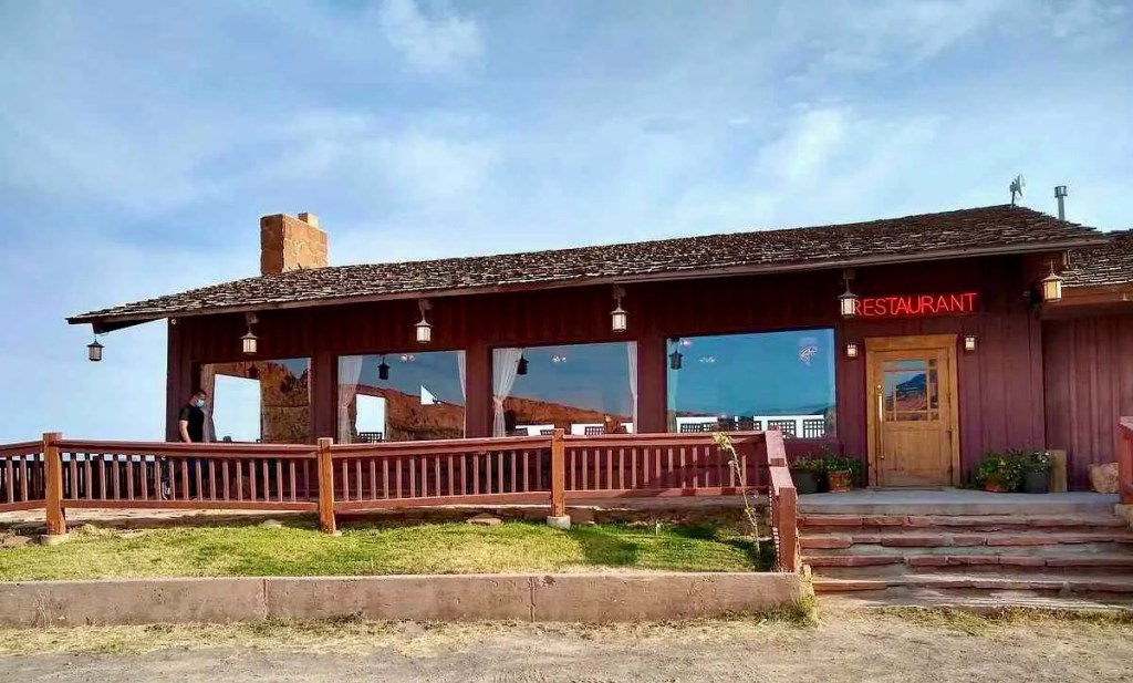
The servers were as spicy as the pizza. Well, as spicy as Utah pepperoni permits. Maybe that’s what’s meant by SPAShetti Western Cafe.
The evening turned into one of those rides-within-the-ride: red rock fading to purple-is alpenglow, then black, while we nursed our refreshments and let the desert sky do the rest. A waxing crescent moon hung low and thin, with Venus, Saturn, and Jupiter keeping quiet company beside it—the kind of sunset that makes us glad we stopped riding when we did. We still couldn’t see Mercury.

Day 7 – Sunday, June 21
Torrey, UT to Caliente, NV ~282 miles
UT-12 → Boulder, Escalante, Cannonville, Bryce Canyon City, → US-89 → UT-14 → Cedar City → UT-56 to the Nevada Border → NV-319 → Panaca → US-93 → Caliente NV → Shady Motel
Our day began as the asphalt was calling, and our tires were about to get a serious workout. Only a little disconcerting since my front Micheline Anakee had upwards of 12,000 miles. This exact route is a legendary mix of twisties, high-altitude sweeps, and pure desert throttle. Here is how that stretch of blacktop felt on two wheels, of the moto variety and a nod to the pedal variety.
The Apexes and the Abyss (UT-12)
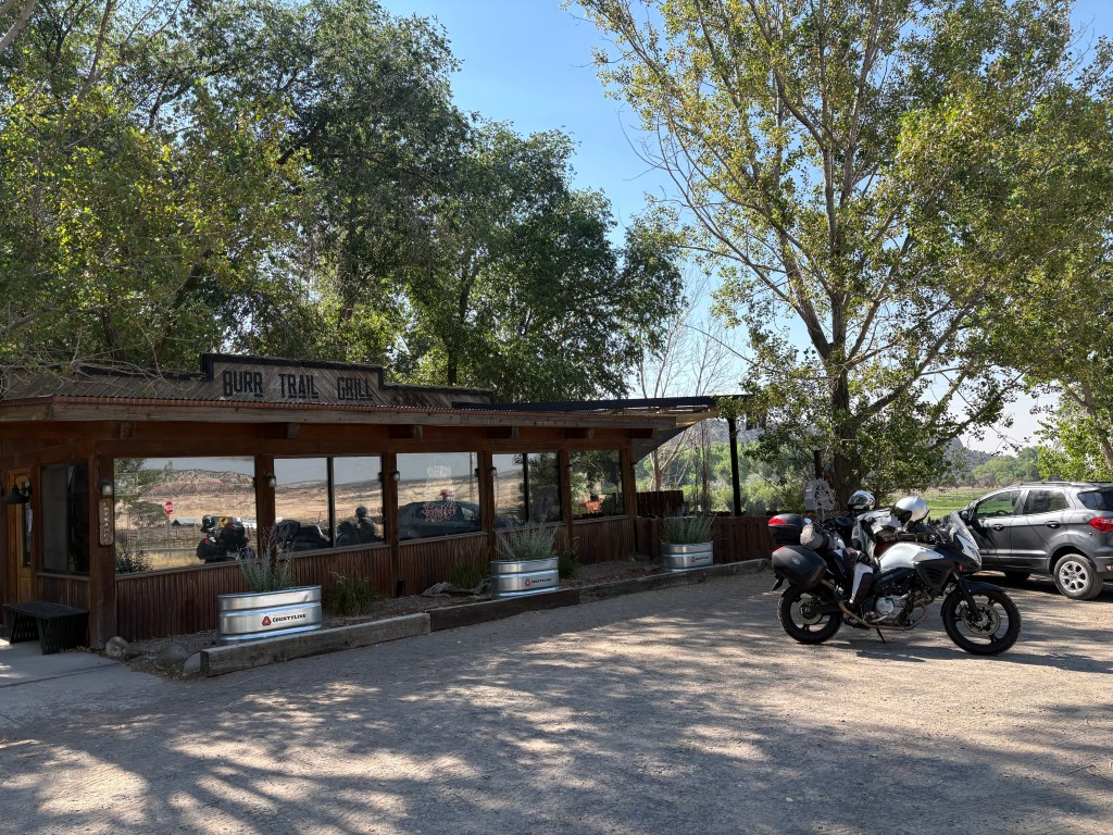
Boulder is at the intersection that leads to the Burr Canyon from UT-12 on the E. Burr Trail Rd. Featured in yet another Knuckleheads’ bike across Utah post and a previous moto post about our ramble through the canyon, there was no time for a revisit as we were headed west. Leaving Boulder, our tires were barely warm before we hit “The Hogback.” Not to be confused with Hell’s Backbone road (Hell’s Backbone with DJI Mavic) a few miles northwest of Boulder.
On a bike, The Hogback isn’t just scenic; it is an adrenaline shot straight to the heart. You are riding a knife-edge of asphalt with a 1,000-foot drop on either side and crosswinds that love to test your counter-steering. The challenge is to keep your eyes on the exit of the turn, not the canyon floor.
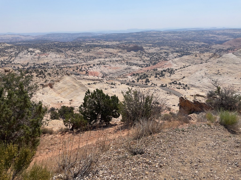
In 1997 I found myself pedalling for life as an afternoon thundershower struck while crossing The Hogback on the Tour de Ute. Channeling Tennyson:
The smell of ozone hung in the air, lightning to right of them, lightning to left of them, hail in front of them volley’d and thunder’d; Some one had blunder’d: Theirs is not to make reply, Theirs is not to reason why, Theirs is but to do and (hopefully not) die: Into the valley of the Burr Canyon rode ten Knuckleheads…
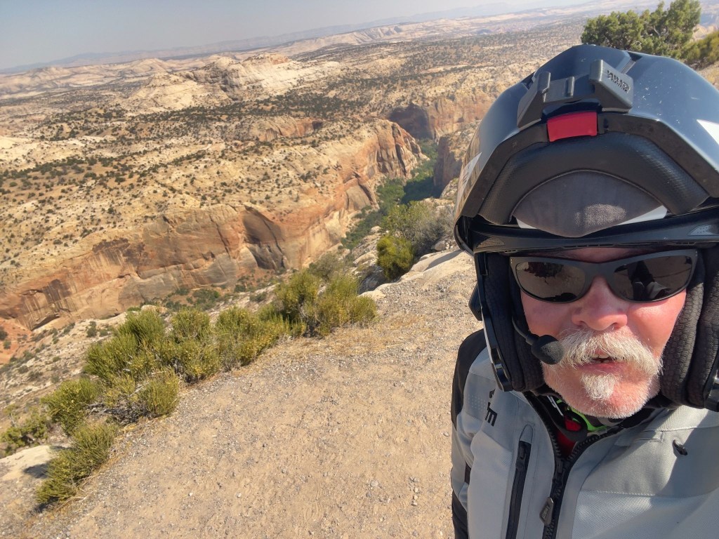
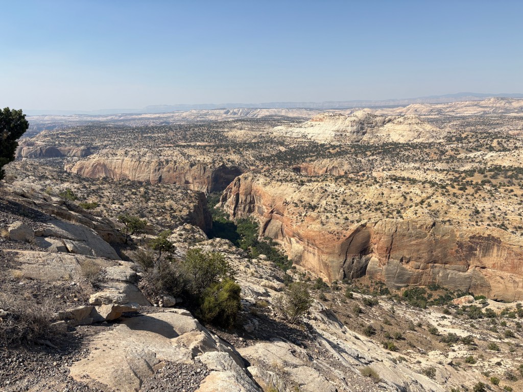
We dropped down into Escalante, shaking the tension out of our wrists, before leaning into the sweeping curves toward Cannonville. The temperature climbed as we carved through the red rock canyon walls. Finally, a steady twist of the throttle up the climb into Bryce Canyon City, where the air got crisp, SMAP grabbed a sammy, and the tourist traffic got thick. Watch for rental RVs drifting into your lane.

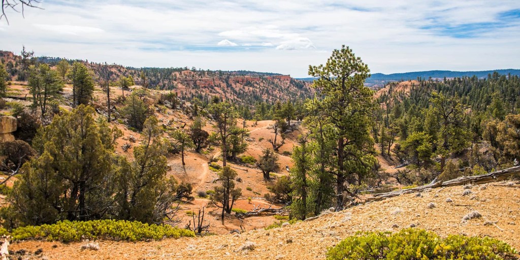
The trail is the same one the notorious Utah-born Butch Cassidy used to evade the law, and it would become part of what was known as the “Outlaw Trail.” The area was also the primary filming location for the 1969 movie “Butch Cassidy and the Sundance Kid,” with Robert Redford and Paul Newman. Redford himself followed the Outlaw Trail in 1976 for a National Geographic piece.
Local legend has it that Cassidy, whose real name Robert LeRoy Parker, got into a fight over a woman at a dance in nearby Panguitch. Having thought he killed her jealous lover, Cassidy fled along the trail. But the injured man was simply knocked out, and upon regaining consciousness he organized a posse to chase Cassidy through these hills. After successfully evading his pursuers, Cassidy would later return to this area — with his the Hole in the Wall Gang and later his Wild Bunch — to hide from the law after a stagecoach robbery or other heist.
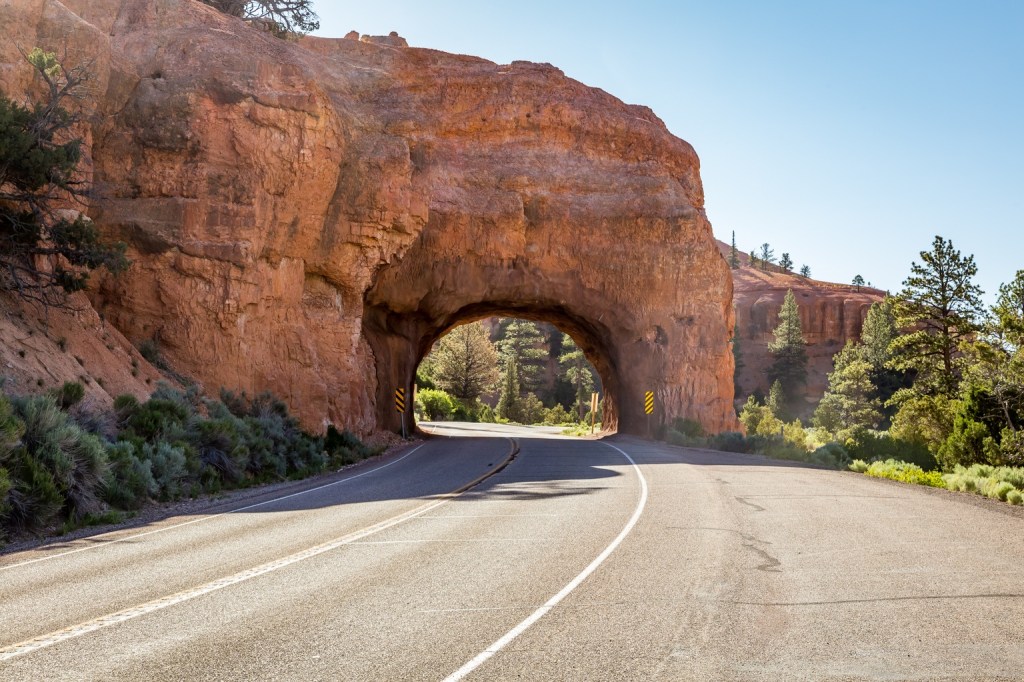
Lava Fields and Brake Dust (US-89 to UT-14)
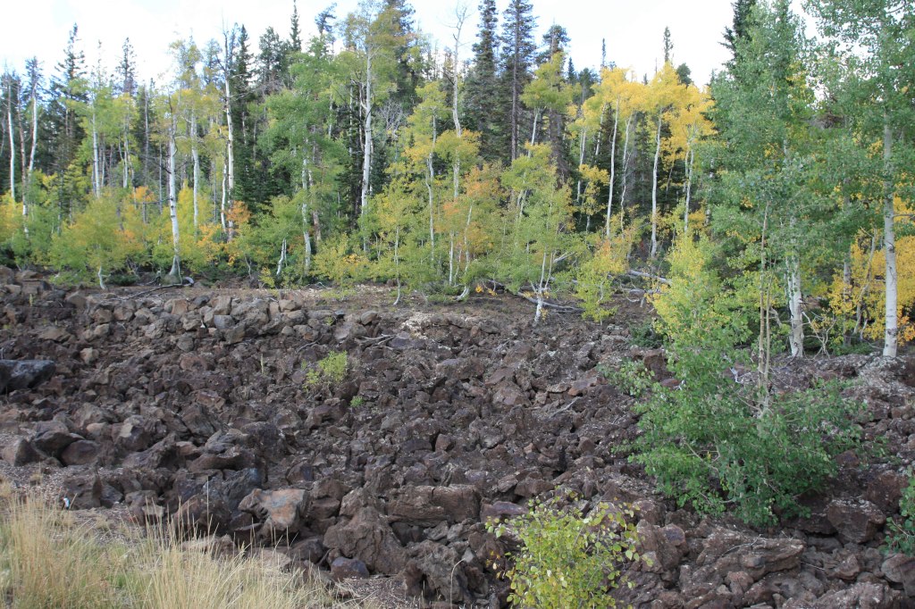
After a quick, straight blast on US-89 to shake out the kinks, we leaned hard into UT-14. This is a sport-touring paradise. You lean the bike left and right through tight canyon switchbacks, climbing rapidly up to nearly 10,000 feet. You will definitely feel the chill as you cruise past pitch-black lava fields of the Markagunt Plateau. Then comes the descent into Cedar City. It is a steep, brake-burning drop through Cedar Canyon. Keeping an eye out for loose gravel in the corners and deer standing on the shoulder is right there with inattentive tourists stopped on the roadside, taking pictures.
The Big Throttle Open (UT-56 to NV-319)
After a slight navigation error (despite the map acquired in Torrey, go figure), we stopped in Cedar City for something to give us wings as we were approaching Nevada. It was time to shift into sixth and set the cruise control. UT-56 out of Cedar City is a straight, lonely shot through the high desert. The wind will buffet your helmet and the June heat will have you looking for the nearest water faucet to soak your cooling vest.
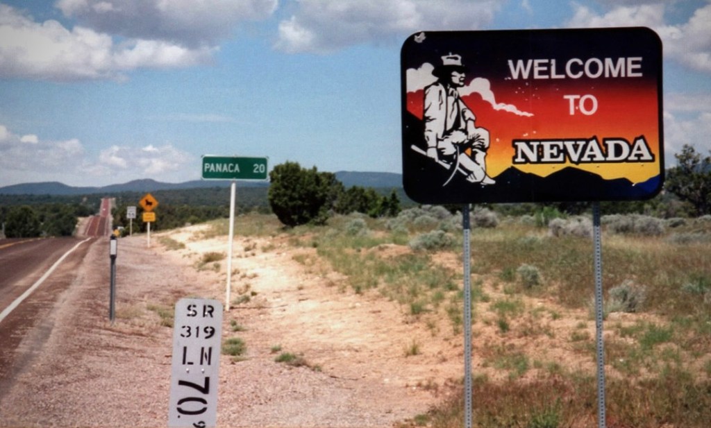
We crossed into Nevada as the road became NV-319, rolling past the stark, white clay spires near Panaca. The pavement here is wide, empty, and fast. It is just you, the drone of your exhaust, and seeing a small patch of shade in front of the LDS church, a place to stop and stretch the nalgas. Ah, across the road from the church, a Post Office with a spigot and hose. Worthy of the likes of an inspiring Greely or Young quote, from Sisyphus: “Soak me with your hose Panaca!”
Cooling vests were now charged for the run into Caliente, Spanish for HOT.
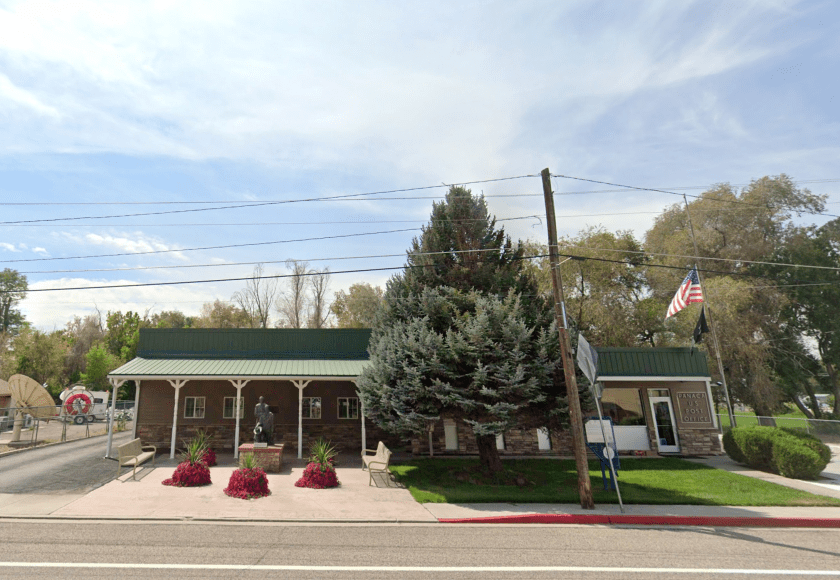
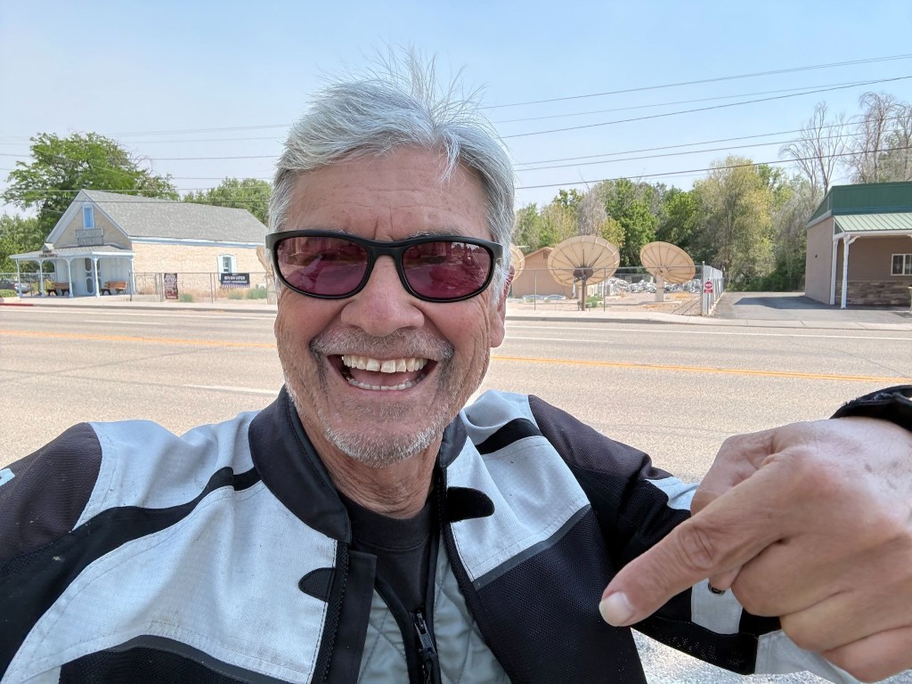
Fueling up at the Shell station on the outskirts of Panaca, we met a couple, two up, on a Harley Roadglide, Streetglide, Road King or one of those badass HD-Baaaaggeeeers… They were from New Jersey and had rented the bike in Las Vegas and were on their way to Yosemite. They were “hard core” riders, not by way of appearance, but miles, each on their own bikes back home and two-up touring. They had come from Zion and we recommended Tonopah or Ely, masters of navigation that we are, for their Sunday destination. Another chance meeting with curious like minded ramblin’ folks with stories to tell and good cheer.
The Cool Down at the Shady Motel (US-93)
A sharp left onto US-93 brought us down into Caliente. After hours of gripping the bars, the historic shady streets (at least one side of the street) of this rail town felt like a sanctuary. It was warm, in the 90’s, but the Shady Motel had top-shelf air conditioning. Kickstands down, helmets off, and jackets unzipped, soon the afternoon heat would abate. There is nothing quite like the feeling of peeling off riding gloves and boots after conquering the Hogback and the high passes of Utah and sagebrush plains of eastern Nevada.
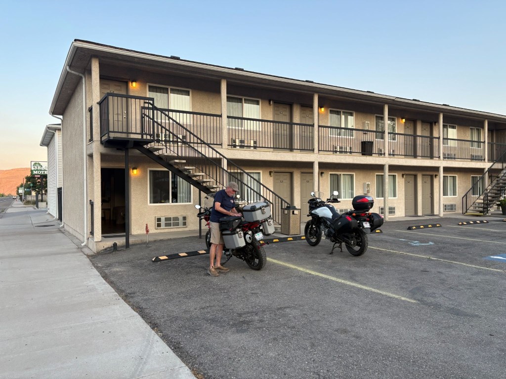
As we finished checking in, a fire truck showed up with Utah licence plates. A young firefighter entered the office. We had noticed smoke in the air from earlier in the day and were in fact rolling into more dense smoke enroute. Curious fellow I am and a proud papa of two firefighters, I asked if the smoke in the air had something to do with their showing up in Caliente. The young man said that they were dispatched from Utah to cover the Caliente area that had earlier dispatched engines to a couple of wild fires, the Grapevine and Kane Spring fires south of town. They were anxious to see fire and not just the smoke.
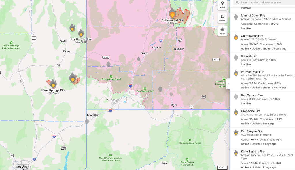
I imagine our Utah firefighters got their shot on the Cottonwood fire back home.
An early dinner at The Side Track, spaghetti and meatballs for SMAP and a well executed fettucini alfredo for me at one of our all time favorite ramble restaurants. Cold rehydrating beverages were procured next door at the All Aboard Liquor Store, and we returned to the motel, set up our camp chairs facing US-93 on the walkway, and watched the locals cruising the main. Curiously a bus roamed up and down a couple of times filled with students, with whom we exchanged waves. This is how one enjoys the small town vibe as the desert sun set.
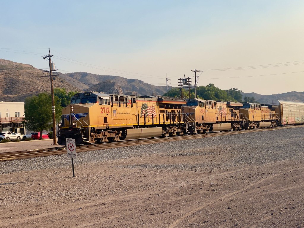
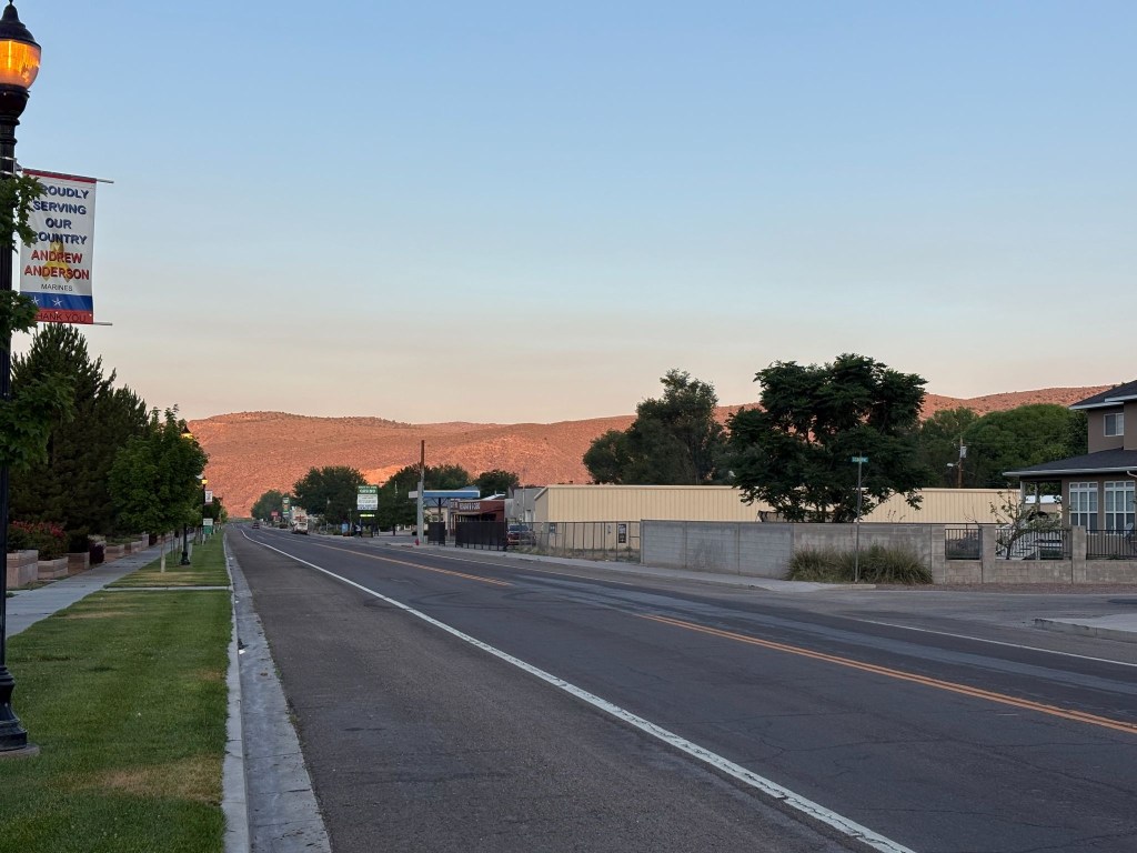
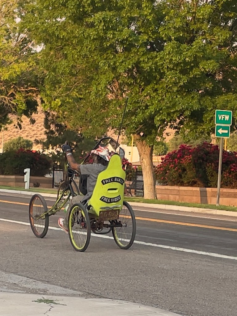
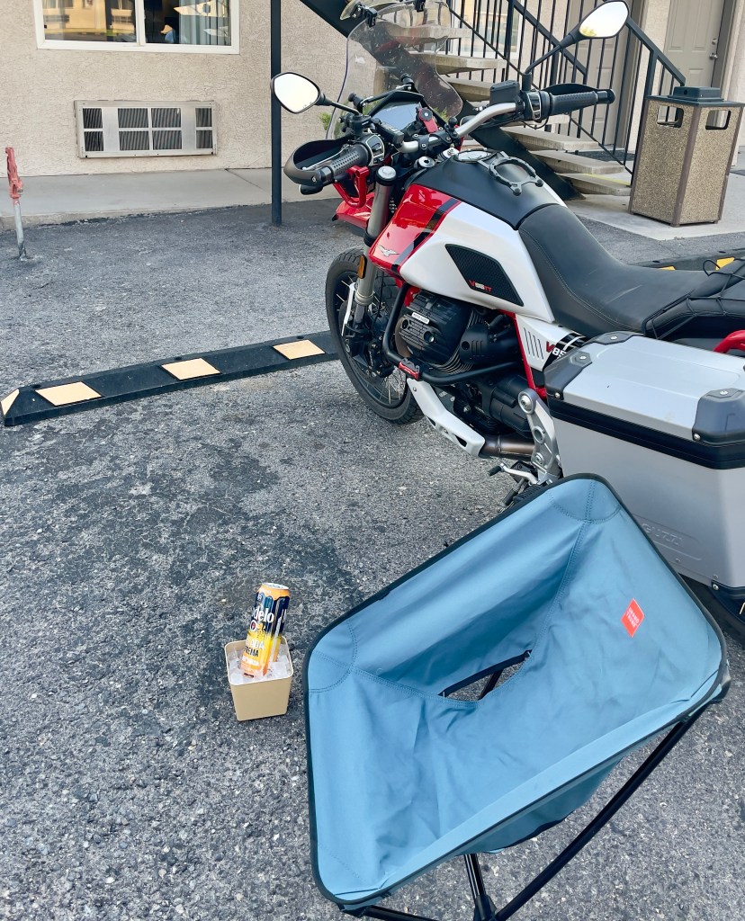
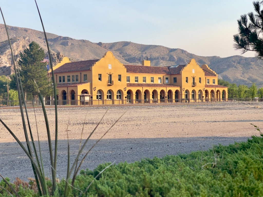
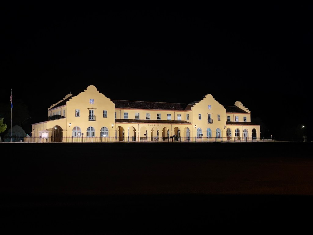
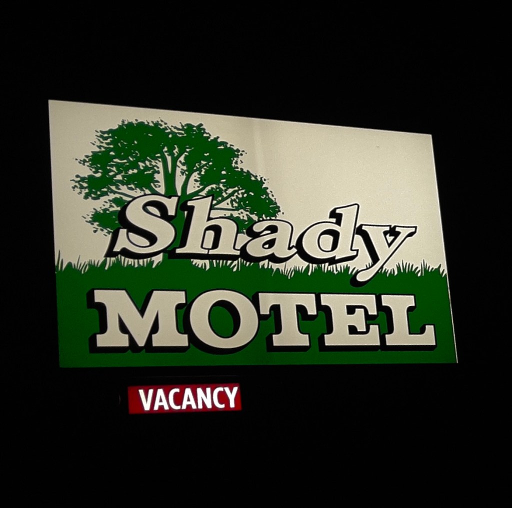
(From the archaic: absence of activity; idleness)
Day 8- Monday, June 22
Caliente, NV to Merced, CA~466 miles
US-93 N → NV-375 Extraterrestrial Highway → US-6 Tonopah → Benton, CA → CA-120 → Lee Vining → CA-120 → Tioga Pass Crane Flat → CA-120 → Smith Station Rd → Coulterville, CA-132 → Merced Falls Rd → Snelling Rd → Merced → Home Sweet Home
Two Bikes, Two Nalgas, and One Intergalactic Highway
The odometer told us we had 466 miles to cover to get back to Merced. Another day was planned for somewhere between Independence and Bridgeport on the East Side of the Sierra. We talked about it. On a motorcycle, 466 miles is not a distance. It is a dynamic physical test of how long a human being can tolerate vibrating metal between their thighs before their spinal column permanently fuses into a solid rod. We were also feeling the other 2,000+ miles of the previous six days, the most recent in heat and now smoke. Besides, SMAP had to be back before Wednesday for a memorial service. That’s it, let’s iron-butt it home and save the East Side for the fall when temps have relented along with the smoke.
We pulled out of Caliente, me on my Moto Guzzi V85TT, a bike built by Italians who clearly believe that adventure should involve a lot of character, a six gallon fuel tank, and an exhaust note that sounds like a sophisticated tractor. SMAP was aboard his Suzuki VStrom 650, a machine engineered by the Japanese to survive a tsunami, an alien apocalypse, 85 mph all day on deserted Nevada highways, even a skipped oil change. Although, I must say, SMAP religiously attended to his chain lubrication daily, prior to dinner and the 3R’s. With my shaft drive and his superb chain maintenance we had nil issues with our bikes.
A’Le’ Inn Territory
Once over the border on the previous day, we pointed the front wheels toward US-93 North, which quickly dissolved into NV-375. This is officially designated as the Extraterrestrial Highway.
The Scenery: Dirt, sagebrush, and a horizon so flat you can see the back of your own head. The Physics: The crosswinds here do not just blow. They try to slap you across the face and throw your bike into a ditch full of radioactive tarantulas. The Aerodynamics: On the naked-ish Guzzi with boxy panniers, I was a human sail. On the VStrom, SMAP sat in a pocket of calm, Japanese-engineered serenity, looking entirely too comfortable.
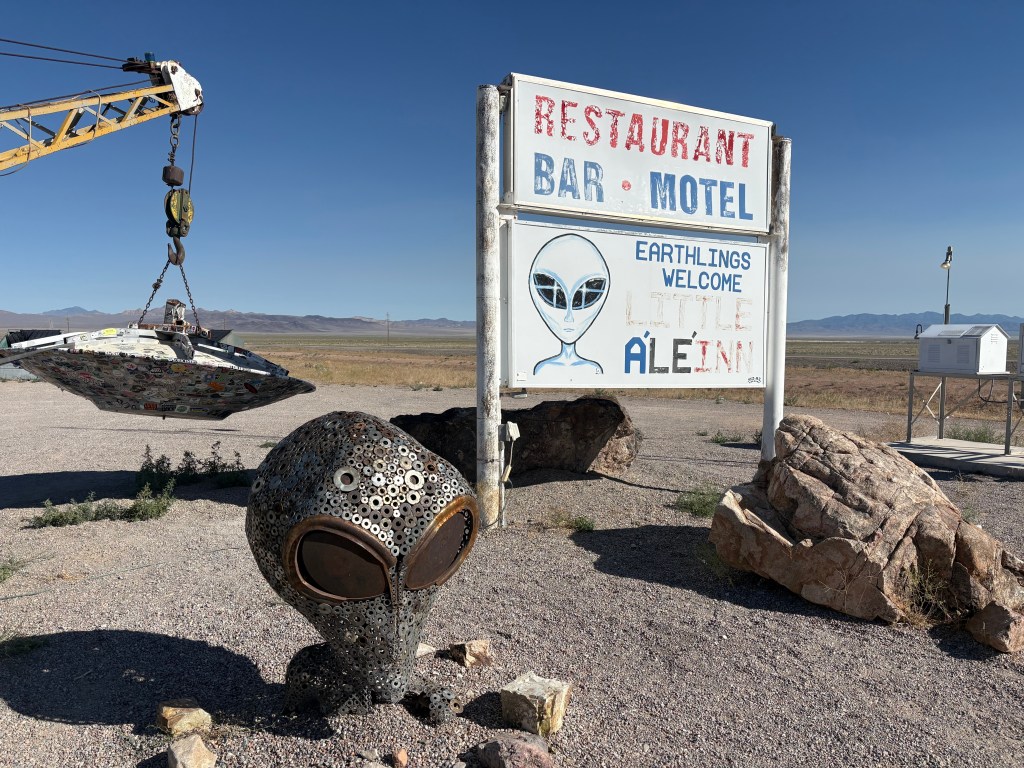
More cattle die on this godforsaken road from being hit by vehicles than by all the alien mutilation attributed to the unidentified flying objects (AKA unidentified aerial phenomenon) common to the Rachel area. In fact, we rolled through the graphic tractor-trailer-highway- jay-walking-mutilated-cow art, that had been committed earlier in the day. Perhaps it wasn’t a tractor-trailer, but something from Area 51…
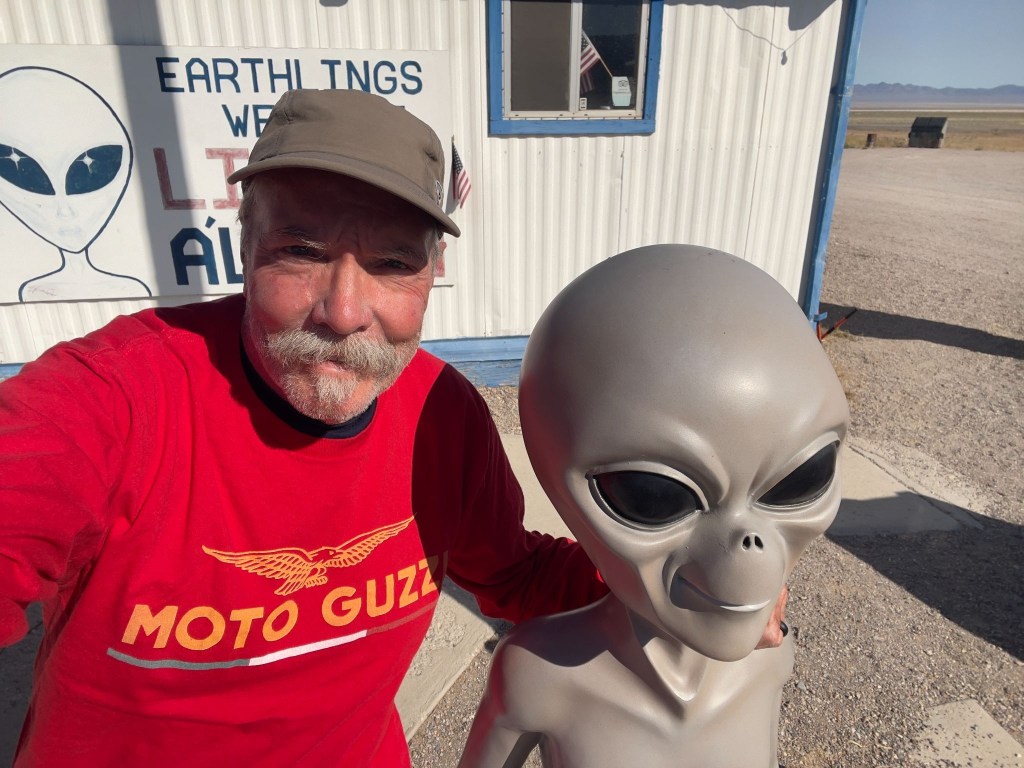
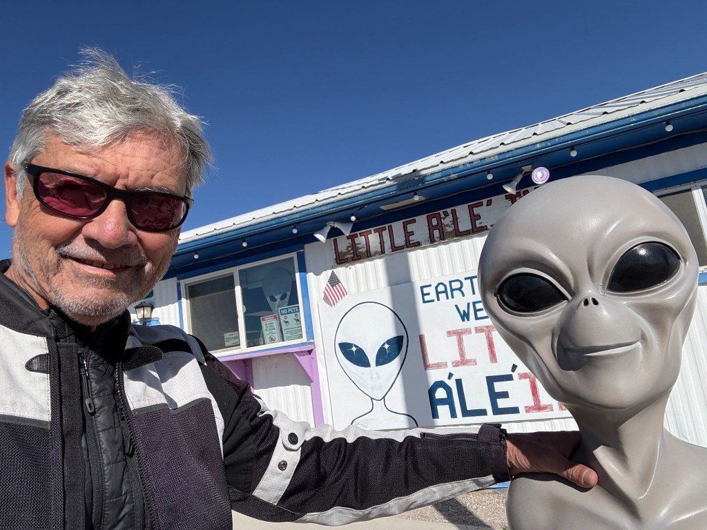
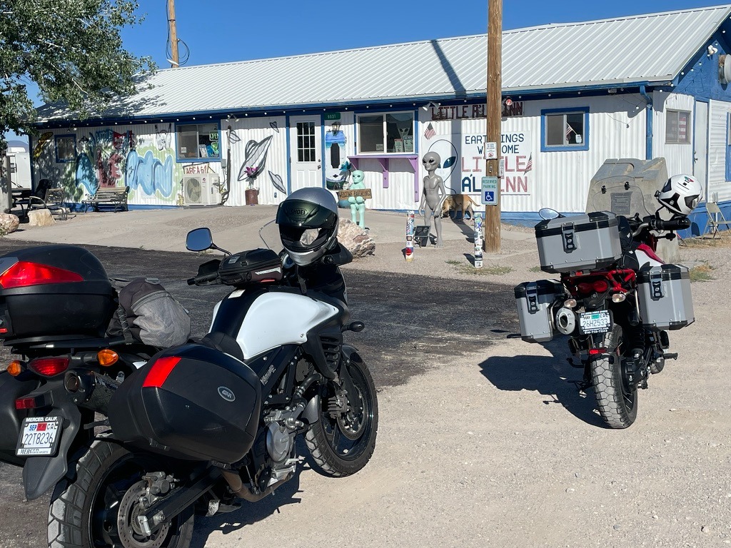
After a fine breakfast at the Little A’Le’Inn Cafe, we set off on the next uninterrupted basin and range, mile-after-mile of nothing more than mile-after-mile landscape.
Eventually reaching Tonopah, we conscientiously observed the speed limit through town on US-6. Tonopah is famous for a hotel filled with terrifying clown dolls and as a Nevada State Patrol speed trap. Our only stop was for fuel. We weren’t entirely sanctimonious. If a clown tried to steal the Moto Guzzi, nobody wins.
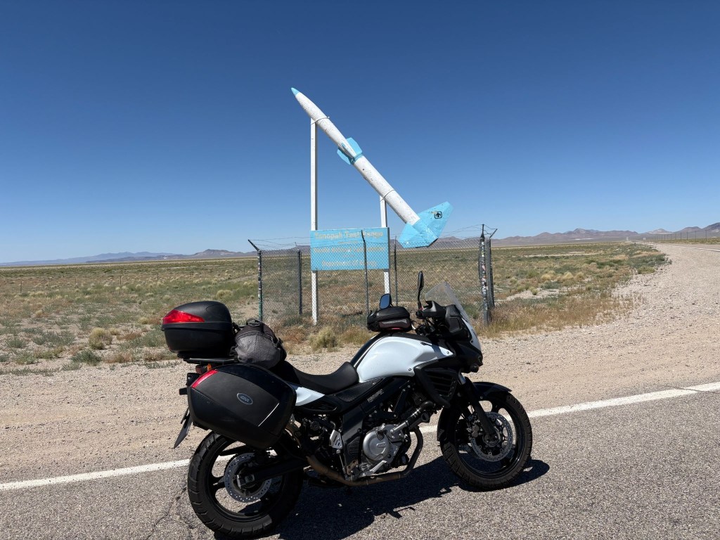
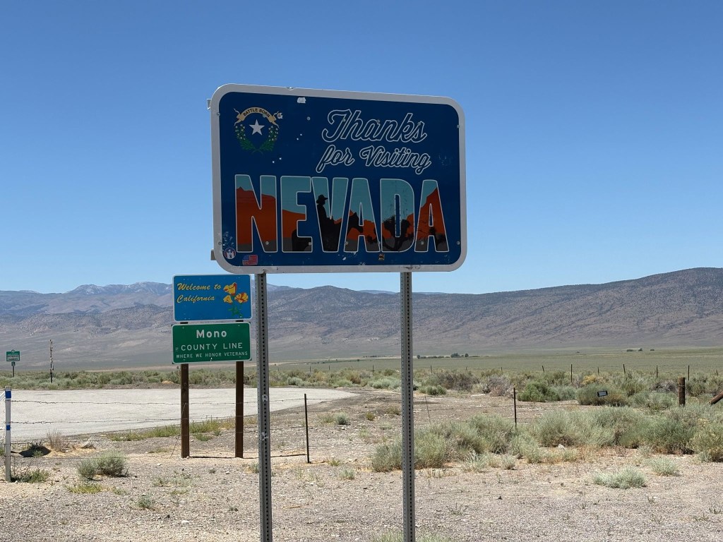
(Both relatively bullet-hole free)
Up, Up, and Vertigo
Eventually, we crossed into Benton, California. The landscape changed from “barren moonscape” to “vertical wall of granite.” At the Benton Station Store energy drinks were procured for wings to make the whoops enroute to Lee Vining before the hump over Tioga. But not before appreciating Boundary Peak to the east, from where we came, the highest peak in Nevada.
We merged onto US-395, 70 miles south of where we joined the Three Flags Highway earlier in the week, so named to recognize its role in linking Mexico, the United States, and Canada.
Rolling into Lee Vining, a town that exists purely to sell gas to motorcyclists who suddenly realize their low-fuel light has been blinking for 30 miles. That and the Whoa Nelly Deli where packages of meat can be purchased (SMAP is evidence of someone wanting a protein boost with nitrites) that cost almost as much as a gallon of 91 octane, (Guzzi’s favorite). I had sunflower seeds.
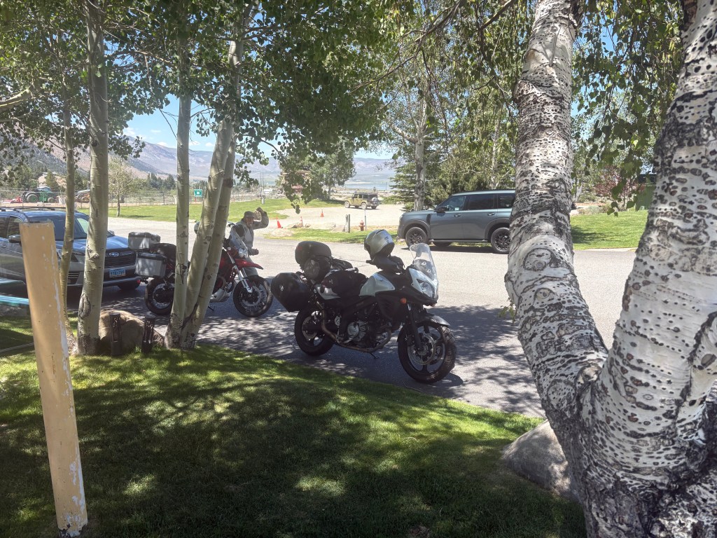
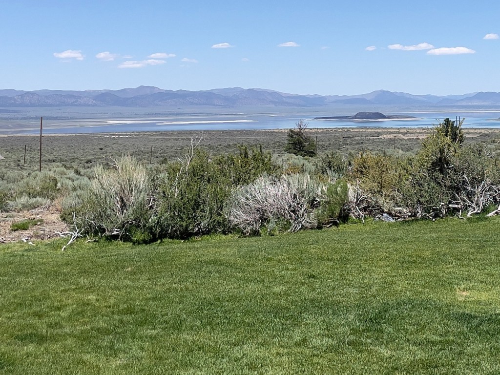
Then came Tioga Pass
The Elevation: 9,943 feet. The Temperature: Dropping faster than my investment portfolio. The Curves: Sweepers that would make a track-day racer weep with joy, followed by sheer drop-offs that make you pray your brake fluid doesn’t evaporate. The Guzzi loved the thin mountain air, chugging up the switchbacks with its vertically opposed twin cylinders thumping happily. The VStrom 650 just whined its predictable, ultra-reliable whine, carving through the corners like a surgical instrument. The only thing slowing SMAP down was an APS (Arizona Pork Sled) trudging its way up the pass.
We summited the pass, five bars on the fuel gauge and bypassed Crane Flat. From there, more sluggish traffic and temps were rising by a degree, every 500 feet of elevation loss. Normally on this long descent your front brake lever becomes your closest personal friend. A brief stop at the Coulterville Public Pool to dunk our evaporative cooling vests for a somewhat muggy, but cooler final push to conclude the ramble.
Back Home and a Couple of Weeks of Reflection
Sisyphus, as the myth goes, was condemned to push his boulder up the mountain for eternity, the futility being the point. Sisyphus and SMAP, by contrast, spent eight days pushing two motorcycles across six states (seven if you count California twice) with unreliable technology, navigation largely by fading memory, hunch, and road signs after losing a paper map, and no plan beyond the SRPC and a shared faith that the next fuel stop, motel marquee, or roadblock detour would sort itself out—and it always did, which either disproves the myth or confirms that Sisyphus’s boulder was never the point either way.
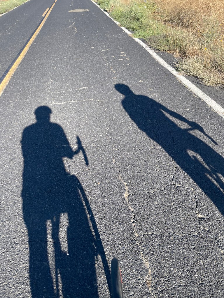
What lingers isn’t the mileage, though 2,500-plus miles is nothing to scoff at from a saddle. It’s Ming’s bewildered “What a president?”, Donovan’s sweatpants-and-a-helmet optimism, Lenny’s coconut-smoothie curmudgeonry, and a busload of pine-cone harvesters saluted with raised tallboys in a Susanville parking lot under a bank of security cameras that captured, more faithfully than any GPS could have routed us, exactly what this ramble was actually about.
The Hogback, that tried to kill me 29 years ago, tried gently, the way it does if you take your eye off the center line; Tioga Pass reminded two aging knees and chaffed nalgas why long distance (and elevation) is a young man’s game; and somewhere on the Extraterrestrial Highway, there’s a graphic tractor-trailer-highway-jay-walking-mutilated-cow art and a ditch full of radioactive tarantulas.
We came home sunburnt, saddle-sore, no more technologically literate, and thoroughly rehydrated, relaxed, and reflected upon—three-R’d into a vacancy most evenings by sunsets that made the whole exercise feel less like punishment and more like the reward Sisyphus never got.
Same time next ride, boulder willing.
July 9, 2026
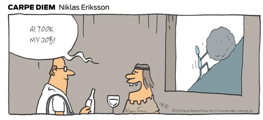
All photos unless otherwise noted were taken by Sisyphus and SMAP. AI was used in planning the ride, with modest accuracy and edited frequently once on the ride. Unless AI learns to ride a motorcycle and enjoy the 3R’s, Sisyphus will have employment indefinitely…


