

The air was lighter in October than during the early fire season where much of Central California was blanketed by smoke from the Ferguson, Carr, and Mendocino Complex fires in July through September. These fires, just three of the 8,527 conflagrations in all of California, were controlled when the tragic and massive Camp fire erupted in November 2018. In Merced, our home, we’re accustomed to fog in the winter but without the AQI 200 – 300+ ashen particulates you could taste with each breath experienced this summer. The extended summer fire season ironically put a damper of sorts on my usual bicycling, hiking, and moto adventures.
Thankfully, as fire activity rapidly diminished and the AQI resumed it’s more normal “unhealthy” rating in September before raising it’s ugly mane again in November, plans were made to travel through the Western Sierra Nevada with moto/bicycle pal Pete on local roads including Hwy 49 up to Lassen National Park, west on Hwy 36 to the Lost Coast, south on Hwy 1 to Jenner, and finally east to Santa Rosa and home .

Day 1 to Sierraville
The challenge on a four day 1,000 plus mile moto ride is that the riding part will take up a good part of the day that cuts into the stopping parts for fuel, food, and snapping inspiring pics. Most gas station stops, while a necessity, are less than inspiring food or pic ops unless beer is your food of choice.

Hwy 49, the Golden Chain Highway, would have taken us through Jamestown had we opted to go to our usual Bear Valley Rd. junction. Not wanting to deal with the Golden Traffic Chain quite yet, we opted to travel the less traveled roads through Knight’s Ferry following part of our bicycling route on Los Cerritos to Keys Rd., Lake Rd., around Turlock Lake, and across the Robert’s Ferry Bridge. From there on Crabtree, Warnerville, and Willms Roads intersecting with Hwy. 108 at Knight’s Ferry we headed north on E. Sonora Rd. through Eugene on Milton Rd. then rode through Felix, Milton, Jenny Lind, Rancho Calaveras thus skipping a big chunk of Hwy 49 when finally reaching San Andreas. From there it was on to Camp Pardee, Buena Vista, Ione, Latrobe, Shingle Springs, and Kingsville into Placerville where a first inspired smile was recorded. Bob Frost would approve the lesser road smile.
No less admiring of Robert Frost, my fellow two-wheeler friend and I often jest about our admiration for Peter Fonda’s declaration from The Wild Angles that inspires our taking roads less traveled:
Dirtbags that we are, not wanting to be hassled by the man, we figured the tourist traffic along the more established picturesque State Highway 49, say from Coulterville, was best to be avoided in pursuit of our desire to be free to ride our machines and have a good time, even though we’d miss out on Pete’s favorite twisties on Hwy 49 from the Fremont Overlook down to Bagby. From the inundated historic Bagby stop on the Yosemite Valley Railway, more twisties climb up into Coulterville where if you’re lucky, the “mayor” will be holding court on the patio of the Coulter Store …

Plans, like dreams, are easily broken and unlike a movie script we had resumed riding Hwy 49 through the suburban Sierra through Placerville to Auburn. Somehow stop light after stop light dampened our sense of freedom until reaching the Grass Valley and Nevada City nexus where less of the man’s repression was evident. Presumably because fire discouraged tourism was at an ebb.


From GV/NC we headed NE to Downieville as the afternoon shadows lengthened and we were once again free, free to ride our machines and have a good time!


Two wheeling in Downieville inclusively involves pedalling as well as twisting a throttle, although from the photo above, you’d think Downieville a sleepy little foothill burgh. Absent are the two wheelers that I recall outnumbered the school busses something on the order of 100:1 that are mysteriously absent in the photos.
From Downieville we entered the deciduous and evergreen zone of the Sierra having left the grasslands savanna riding twisties and rolling hills through chaparral/oak woodlands of the valley and foothills. We crested the Sierra Nevada near Sierra City, where the vegetation grades from mostly ponderosa pine at the lower elevations on the west side and lodgepole pine on the east side, to fir and spruce at the higher elevations. Después de disfrutar de una buena comida en el restaurante Los Dos Hermanos, we discovered the creeping seasonal change in what resembled alpine conditions that exist on the eastern side of the Sierra crest and at the highest elevations where the aspen beginning to change color telegraphed winter. But where to camp for the chilly night?
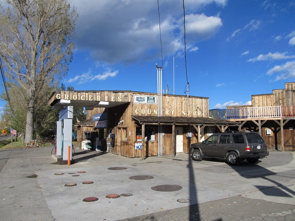
A quick stop for provisions, following that delightful mexican dinner, we procured the philosophical musings lubricant known as beer, Negra Modelo as I recall, at the Sierraville Service and Country Store. Here the delightful proprietor happily gave directions to the nearest campsite: “Keep on 89 over the hill and down at the bottom you’ll see the Cottonwood Creek Campground. It should be open.”


Indeed, the campgrounds were open with two other occupants. Running water was not available as nighttime temps were below freezing and the system was shut down. However, our cervezas didn’t have a chance to freeze as we enjoyed spirited conversation of the philosophical sort in recalling 280 some miles of the day’s riding through stunning landscapes ending the day in view of those aspen readying for winter.

Day 2 Bound for the Redwoods
Up and at’em early, thinking we would scoot out of the campground leaving no trace of our stay as did our neighboring occupants who scooted out only minutes before us and who should we encounter? Yep, Ranger Earl seeking remuneration for his dutiful 8 a.m. campground roundup. For our nine hour stay he generously gave us the “winter rate” of $10 instead of the normal $20 fee since there was no running water. Not quite the rate our fellow squatters enjoyed, we suspected our $10 provided the good Ranger with a fine huevos rancheros breakfast at Los Dos Hermanos following our departure.
Returning to Sierraville we sought breakfast at Smithneck Farms Bakery/Cafe for a hearty bowl of oatmeal and a stout cup or two of java.

Our destination was the Grizzly Creek Redwoods State Park to camp for the evening, but first, there was this volcano we wished to see. Heading N Northwest on Hwy 89 we rode through several small communities. For such a sparsely populated region the folks living there sure like to identify their homesteads. We rode Hwy 89 through Calpine, Whitehawk, Clio, Graeagle, Blairsden, Two Rivers, Cromberg, Spring Garden, Massack, East Quincy and Quincy two communities I remembered visiting during my undergraduate days at Chico State. From Quincey we encountered Keddie, Indian Falls, Greenville, Canyon Dam, Lake Almanor, and Chester, the latter two also remembered from the fog of Chico Daze.
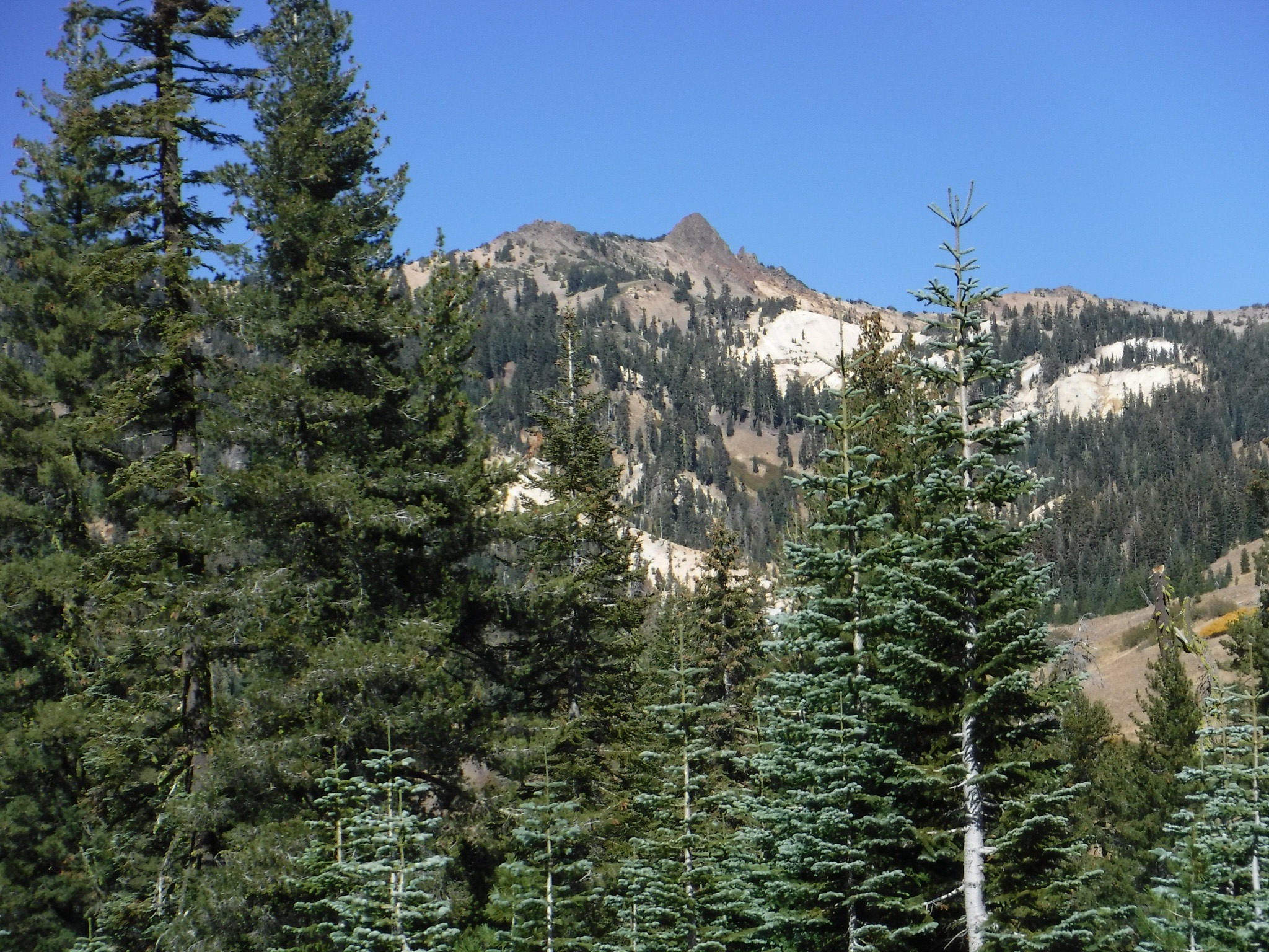
Heading west on Hwy 36/89 we climbed up to Lassen Peak the southernmost active volcano in the Cascade Range of the Western United States. On May 22, 1915, a powerful explosive eruption at Lassen Peak devastated nearby areas, and spread volcanic ash as far as 280 miles to the east. Considering California was already smoldering, the potentially eruptive volcano didn’t really cause us any concern, our lungs hardened with forest particulates having endured the summer fires riding our bicycles. What’s a little pneumonoultramicroscopicsilicovolcanoconiosis among friends?
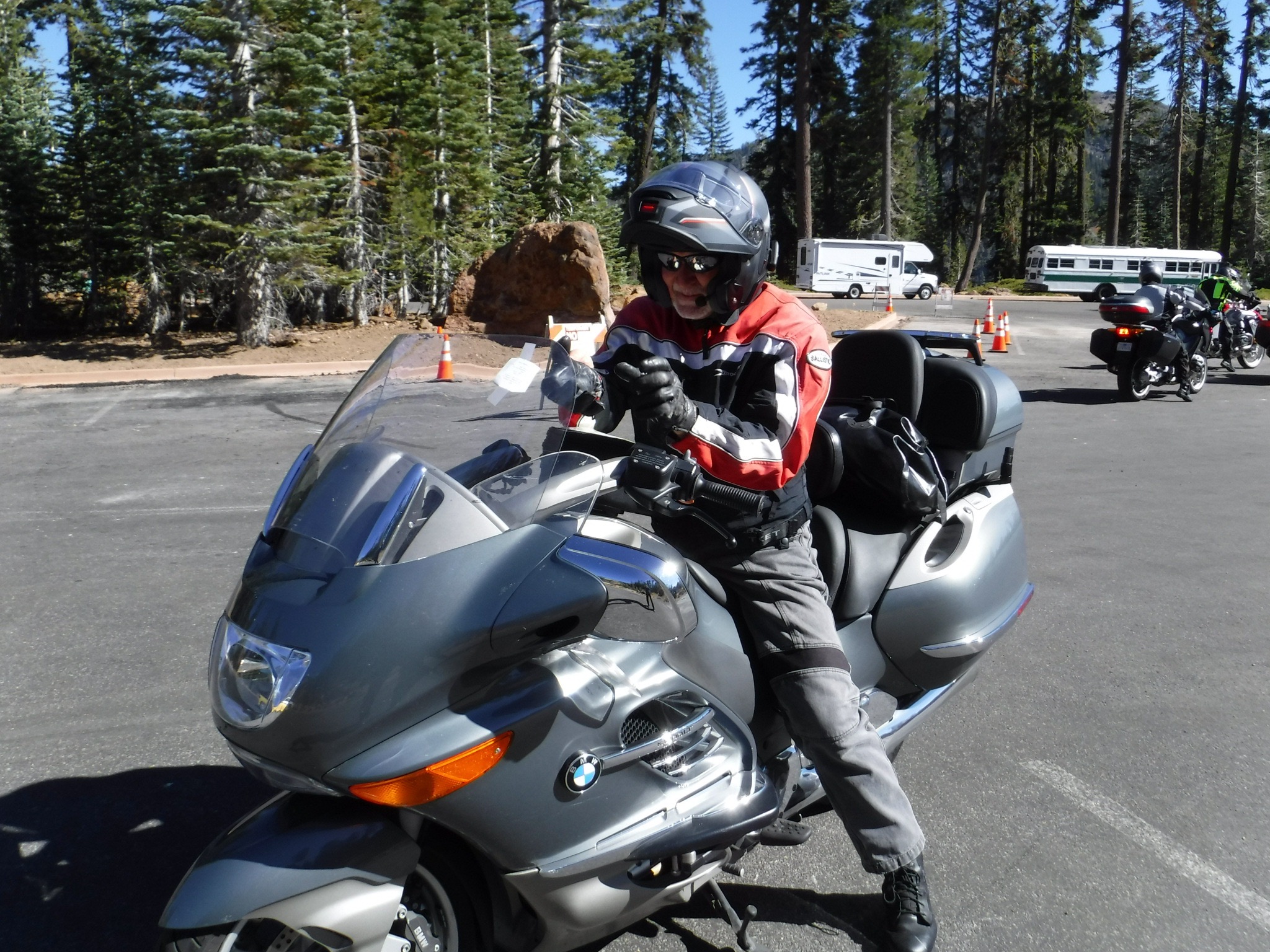
It’s a small world after all and whom should we encounter at the Kohm Yah-Mah-Nee Visitor Center? A fellow geezer and former resident of Merced, our home town, fellow bicyclist, and grandfather who adoringly cares for and celebrates his grandson and their antics on Facebook while my former student, his son, is at work… Ken who eschewed BMW motorcycles for years owning a Honda CBR 1100 XX and who gave up riding motos for bicycles after his second or third mid-life crisis until a fourth or fifth mid-life crisis found him retiring to Lincoln, CA. We serendipitously discovered him astride a BMW beast of a geezermobile pulling into the visitor center parking lot where his riding chaps were waiting. It seems his buddies were frustratedly awaiting his return from the volcano’s summit with spectacles he both lost and later found crushed. A classic geezer move that ended with a surprising encounter and mini-reunion.
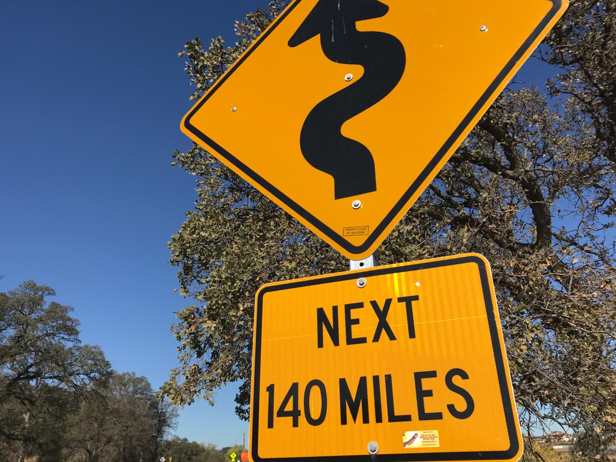
Soon we bid adieu to Ken and his stuffy BMW crew who were returning from some Canadian luxury tour headed to some cushy resort at Lake Almanor to guzzle fancy micro-brews. With miles to go before we sleep, and miles to go before we sleep, we climbed back on the people’s bikes to begin the our westward journey on Hwy 36 to the famed twisties west of Red Bluff. You know you’re on the right road as you leave Red Bluff and see the sign warning…

But before you can enjoy the clutch-wrist, throttle-wrist, and shift-lever-left ankle, right-brake-pedal ankle fatigue, you happen to notice a nail in your tire after fueling next to a motorcycle dealership/shop. Serendipity again? Nah. I had to plug the tire because the shop manager wouldn’t assist me other allowing me to air up the repaired tire citing liability exposure. He couldn’t sell me a tire because he didn’t have one to fit my bike. It was a Kawasaki dealership too! Speaking of exposure, we were exposed to searing heat in the upper 90’s having just descended from the cool of the mountains adding to the fun. Indeed, our delay wrought afternoon sun angle glare directly in our face as we began the best part of the ride.


Soon the arid lee side of the Coast Range hills gave way to mountains shielding the sun with forests giving us a greater measure of confidence in being able to see through the glare the undulations and blind corners we encountered. However, as we continued through the next 100 or so miles of twisting roadways, some under repair and gravelly, fatigue began to set in.
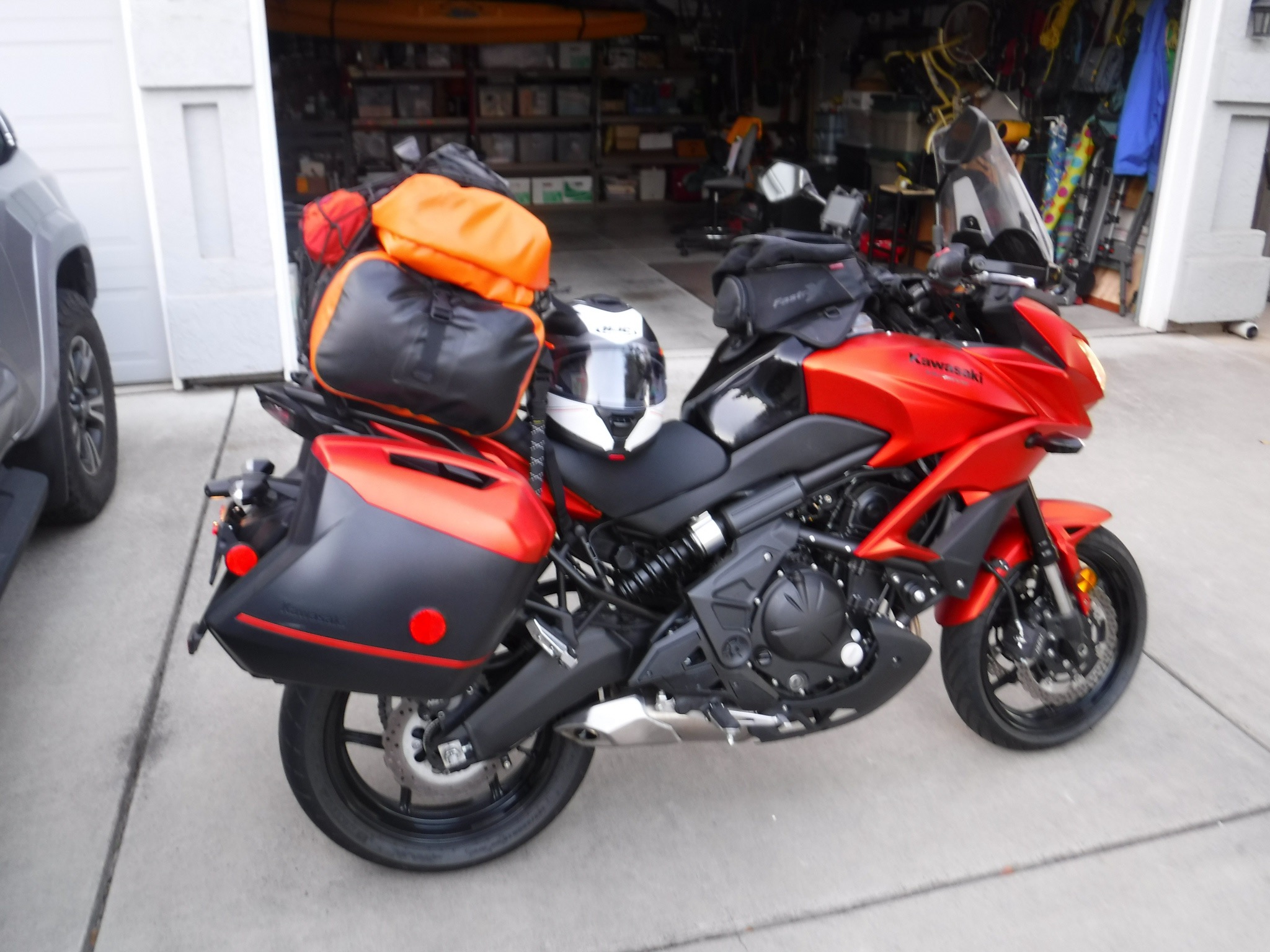
I hastily pulled over near the Mad River Burger Bar needing a brief respite from the constant throttle twisting, shifting to accelerate, braking, and down shifting, repeat and rinse. I used the stop as an excuse to consult the map even though there was only a single road to our destination. Slightly off-balance, my topheavy packed-with-gear bike began to tip just as Pete pulled alongside. Though I had dropped my bike once before on another trip with Pete, that time when he had abruptly pulled over to take in a view on wet gravel along the side of the road on ride west over Ebbetts Pass earlier in the year, I hadn’t since. I wear the scratched hard case as a battle scar of freedom! Timing is everything and so just as Pete pulled up my candy-matte orange Versys domino struck his pristine, shiny chrome, black and white [and in a] Triumph [of gravity] both bikes came to rest, gently on their sides.

Hastily righting our bikes, embarrassed as wouldn’t you know a crowd was assembled for happy hour at the bar, we superficially assessed the damage and were pleased to notice how little damage had occurred. I was somewhat relieved sensing that Pete was none too happy with my faux pas. An eventual clutch lever replacement on Pete’s bike along with a slight headlight realignment and a footpeg replacement on the Versys made it all mo’ better.
Following a brief conversation with a local about camping in the vicinity we decided to clear out from the gawking crowd of 420 bystanders at the Mad River Burger Bar and Off Sale saloon as he recommended we just ride up a dirt road behind the bar and set up camp there… I have no doubt that his overture was sincere. It’s the 420 happy hour crowd who might just have an interest to protect whatever just might be up that dirt road, that we were concerned with. One never knows how territorial Master Gardeners can be…
Hwy 36 follows the meandering Van Duzen River just west of the Mad River through Trinity and Humboldt Counties. As nightfall was descending and not having eaten since a sammie on the side of a volcano, we passed a couple of opportunities to grab the evenings provisions in the belief that Bridgeville, CA, an actual designated town on the map closer to our destination, would have a store and/or restaurant. We were wrong. Bridgeville had been variously put on the market and sold as many as four times since 2002. Apparently legalizing pot was driving real estate speculation. As far as we could tell the only feature of Bridgeville that had any redeeming value was the old Bridgeville bridge over the Van Duzen River constructed in 1875. We declined taking any dirt roads to look for other “value added” features of the town.

Just a few miles down Hwy 36 we came upon Swains Flat Outpost and Garden Center in the community of Carlotta where Royal Gold Bulk Soil could be purchased. Given that the Outpost was along a fertile river plane in a dense forest we wondered why there was so many garden supplies so readily available. It certainly didn’t appear there was a farmers market nearby and the only food available in the Outpost grocery store was from the industrial food chain. So a pre-made sammie, some chips, and the requisite micro-brew, a fine Lagunitas IPA as I recall, were procured as we were given directions to the only campground open in the area, the Van Duzen-Pamplin Grove County Park on the recommendation of a bored yet distracted young proprietor.

We arrived at the campground under the cover of darkness. Arriving in a redwood forest at night is akin to entering a sensory deprivation tank without the water. It was pitch black and silent. Finding a nearby campsite, we pulled in for the night setting up in the light provided by our motos to enjoy an incredibly still evening, the only sound that of the crunching of chips as we ate our mediocre dry and virtually tasteless industrial sammies. The beer, however, was excellent.

Day 3 More Redwoods, But a Coastal Course Change
We had originally planned to ride through Ferndale to Mattole Road then on to the Lost Coast and down and back to Hwy 101 by way of Petrolia, Honeydew, and Bull Creek. But considering my brand new Dunlop Sportmax Q3 rear tire was plugged, we opted to stay on smoother pavement nearer “resources” should my fix fail. So, our day 3 breakfast consisted of delicious handmade sammies from the Murrish Market in Hydesville restoring our faith that a sandwich is nearly the perfect food any time of the day or night unless it comes wrapped in plastic. The sammie meal theme was established.
Intersecting with Hwy 101 in Alton, we began our trek south through the Avenue of the Giants in the Humboldt Redwoods State Park. The otherworldly roadway was sublimely serene with little traffic on our morning tour as mists drifted in and out of this incredible sunlit canvas before us.

Departing the park near Phillipsville we continued South through grove after grove of redwoods crossing the South Fork of the Eel River dozens of times through Garberville, Benbow, Cooks Valley, Piercy, eventually reaching Leggett where leaving Hwy 101 westward we merged with Hwy 1 getting glimpses of the Pacific as we wound our way through Rockport, Hardy, and DeHaven. It was Saturday and the road was filled with tourists and cyclists, though it was a tad misty from fog.
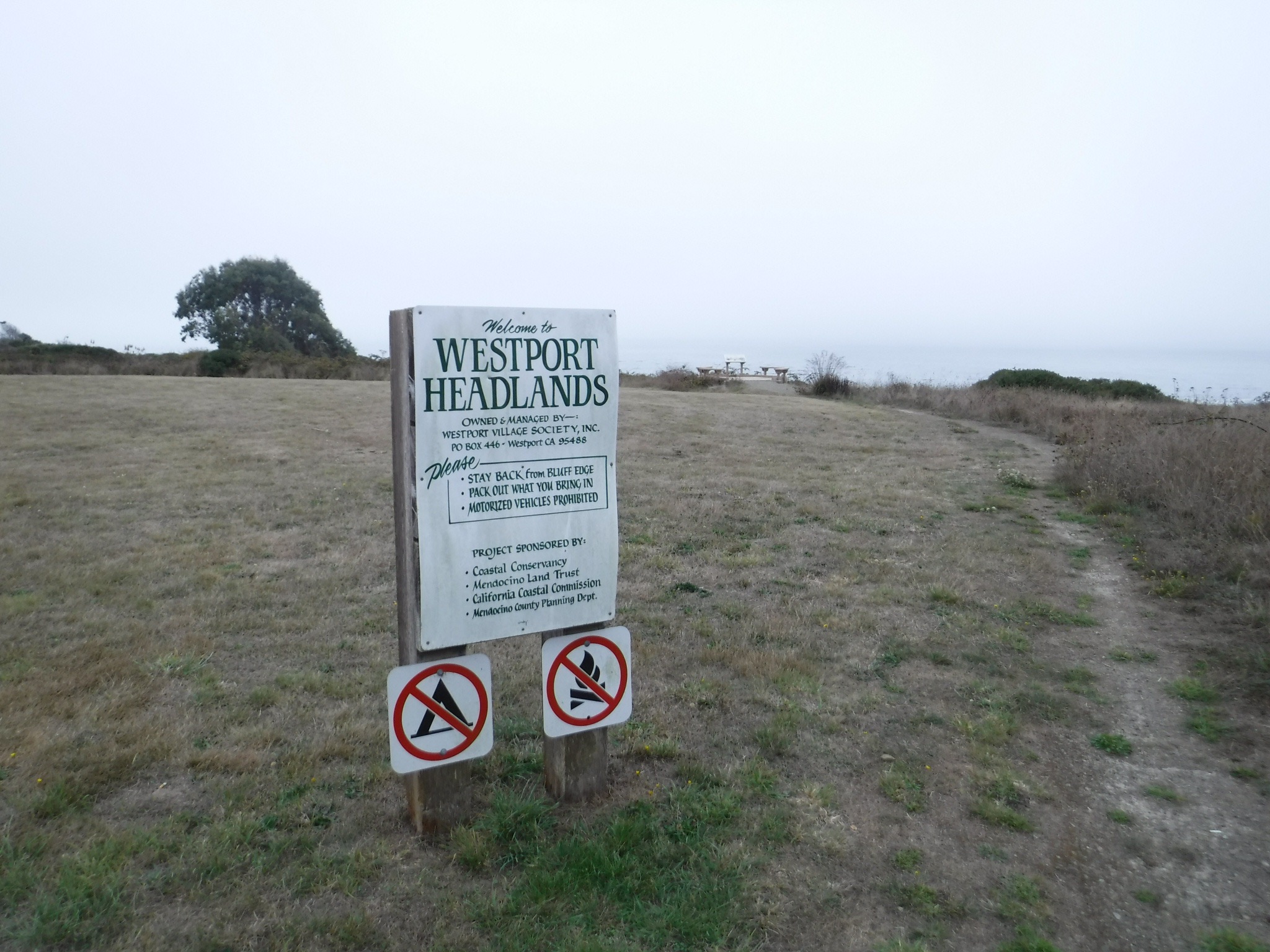
The cool foggy coastal route called for a warm beverage and the little community of Westport was just the sort of funky place you could find a funky cup of fog cutting coffee. And the roadside tire plug repair was holding!
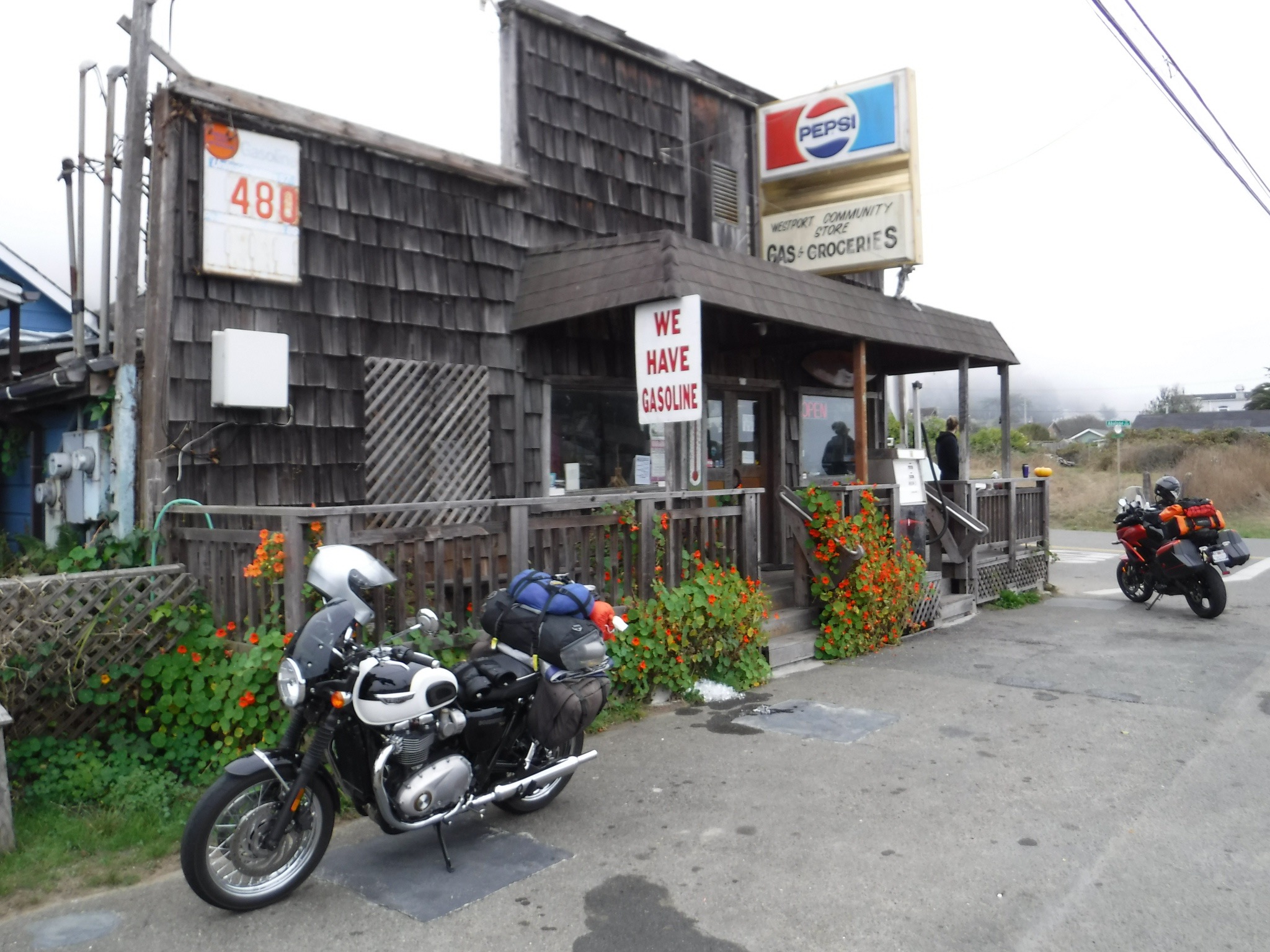
Pete and I entered the store to find a frenzied proprietor behind the counter preparing a couple of dozen sammies for the volunteer fire department’s Saturday training whose CalFire Captain was entertaining us with local knowledge and history of the area. Several other customers were lined up as well. After about 20 minutes of waiting to order coffee, the master deli-man looked up for the first time as we asked his young daughter working the register for a cup of coffee. His head dropped returning to focus on frenzied sammie making and said with only slight derision, “It’s in the back, self-serve.” We decided to forgo sammies…


Wanting to make our Santa Rosa destination for dinner, hoping our friend Dale would prepare something other than sammies, we set off again riding through Newport, Inglenook, Cleone to Ft. Bragg for a snack and fuel where we met several cyclists, one of whom was traveling to or from South America. We suddenly felt small. As the let’s-take-a-drive-up-the-coast crowed continued to crowd the highway, it was on to Caspar, Mendicino, Little River, Albion, Manchester, Stomella, Flumeville, Point Arena, Callway, Fish Rock, Anchor Bay, Gualala, Sea Ranch, Stewarts Point, Walsh Landing, Timber Cove, and Fort Ross. All the names seemed to historically recall past economies of small communities now transformed into tourist stops along a most beautiful and rugged Northern California coastal region.
Reaching Jenner with grumbling stomachs we headed westward on Hwy 116 along the Russian River through Duncan Mills, Seridan, Monte Rio, Guerneville, Forestville, to Guerneville Rd. guided by the GPS to turn right and left here and there to arrive at Casa del Dale.
Dale is a friend with whom, in our other lives, I have skied, hiked, and ridden bicycles along with a group of like-minded outdoor enthusiasts who over the years lived in Merced. Joined by our wives and occasionally our kids, we lived the California dream. We skied cross-country in Yosemite, spending a couple of New Year’s Eves in the Ostrander Ski Hut feasting on unbelievably extravagant and sumptuous meals complete with wine and desserts, all hauled in on sleds and our backs. At other times we would ski out to Dewey Point in the morning then heading back to Badger Pass to ski downhill in the afternoon. Conveniently Dale relocated his family to Yosemite to head a dental practice in the park so a warm fire, mangia and bevi always greeted us following our seasonal trips on snow and into the backcountry. We were hoping Dale had not lost his touch even though it was his wife Catherine who did all of the cooking. Alas, Catherine was out of town.

Lead by our friend Larry, a ragtag assemblage of fellows rode our bikes across 11 Western States on an annual “Tour de (fill in the blank)”. Backpacking was also a feature of our outdoor pursuits. In fact Dale and Larry on a second attempt to hike the length of Muir Trail in ten days was chronicled in a self published narrative penned by Larry. Though a tough little fella, Dale once a Forest Service Smoke Jumper never joined me during my sailing phase. I guess that’s like me giving up on the golf phase. I can’t remember ever seeing Dale swim, though we variously participated in team triathlons. Dale was the designated cyclist. Sadly, while Larry has passed away the victim of brain cancer, his memory is alive in all who knew him and his service to his community, Mammoth. We continue to celebrate his memory in pursuit of adventure. Whether planning or setting about on a moto, hiking, or biking adventure, my thoughts always turn to Larry.

Dale didn’t disappoint as he prepared ribeyes with baked potatoes and wonder salad, right out of the bag! How could he fail? His son Orlando is a talented designer who completely transformed a cramped seventies kitchen into a beautiful and efficient gathering place for the family in their tastefully appointed suburban Santa Rosa home. We dirtbags were honored.
Pliney the Elder was paired with the tasty repast as we lapsed post dinner into conversation of the philosophical kind before retiring. I suspect that’s why Dale’s wife Catherine was absent…
Day 4 Homeward Bound
Anxious to get underway to avoid the Sunday-driver traffic in wine country, Pete and I packed and readied for the final leg of our four day mini-adventure thanking our gracious host.

Though I had roughly planned the course for our previous three days I really wasn’t too sure of the best moto route to take back to Merced from Santa Rosa. It was decided that we leave early to beat the traffic that would blossom as the fog lifted. So it was east to St. Helena skirting Lake Berryessa on Hwy 128 and the Glory Hole. Apparently wine drinkers get an early start as there was much traffic on our way out. Exiting Hwy 128 in Winters we headed south parallel to I-505 on Winters Rd. then east on Allendale Rd., a quick south on N. Meridian Rd., then west on Dixon Ave. West see what Dixon had to offer. Entering the town through what appeared to be a Mendota, CA like barrio, suddenly, and to our surprise, a vibrant yet quaint village square with shops and restaurants emerged from a redeveloped downtown center bustling with Sunday brunchers. Huevos rancheros at Taqueria Adelena hit the spot as we planned our stretch ride route. It’s only sort of weird to have coffee with Mexican food.

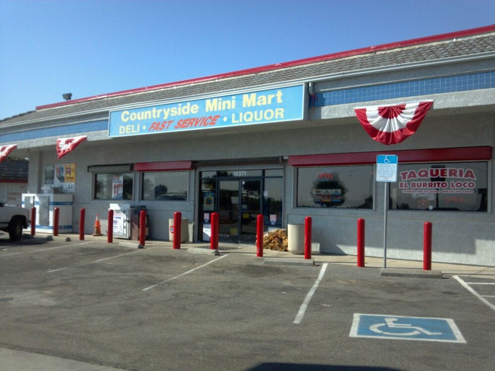
South on Hwy 113 to Hwy 12 and Rio Vista was reasonably uncomplicated. However, Hwy 12 across the Rio Vista bridge then west through Terminous into Lodi was a virtual parking lot. To avoid the interstate and freeway we rode through Lodi on Hwy 12 and turned south on Alpine Rd. until heading east on E. Kettleman Ln. to stop for a refreshing cold beverage at the Countryside Mini Mart at the intersection with Hwy 88 attracted to their bold banner screaming FAST SERVICE since by early afternoon we were anxious to get home.
Continuing east on E. Kettleman Ln through vineyards we then intersected with with Jack Tone Rd. south crossing Ruta Estatal California 26 (?) to east on Hwy 4 into Farmington as vineyards gave way to almond orchards and silage fields. South on J-6 Escalon-Ballota Rd. to east on Lone Tree Rd. took us to Valley Home where we then headed south once more. From there it was Valley Home Rd. through Adela and Oakdale continuing south on Albers Rd. on to the Oakdale-Waterford Hwy through Waterford and Hickman down to N. Montpelier Rd. that becomes Oakdale Rd. crossing the Merced River on to Amsterdam and Hwy 59 to home sweet home.
The trip could have easily taken several more days to fully appreciate the terrain, the riding, the nearly perfect weather and the people and communities through which we rode. We might have found something other than sammies to satisfy our hunger. The beauty of living in a state of nearly 40 million residents is that many of them tend to cluster together in coastal metropolitan areas. Aside from a few brief but crowded roadways much of the riding was over good road surfaces with little to worry about except for an unexpected deer crossing. Though it was only four days, spending nearly all of the daylight hours on the bike in the company of a good friend was itself a blast. Next time I’ll use other less traveled roads and maybe take a little more time for the stopping parts and pics…
