

In 2015-16 California experienced a respite from the worst drought in a century. As of today, we know that water year was an anomaly on an increasingly warmer planet. With record precipitation in the state, top to bottom, a super bloom emerged in Death Valley. It was time to see how the mechanics of rain and snow conspired to instruct the botany and topography of the lowest and highest locations in the continental United States.


In the early-to-mid Mesozoic when the Farallon Plate under the Pacific Ocean started to dive below the North American Plate, a subduction zone was created. Volcanoes and uplifting mountains were created as a result. Erosion over many millions of years created a relatively featureless plain. Stretching of the crust under western North America started around 16 Ma (million years ago) and is thought to be caused by upwelling from the subducted spreading-zone of the Farallon Plate. This process continues into the present and is thought to be responsible for creating the Basin and Range province. By 2 to 3 million years ago this province had spread to the Death Valley area, ripping it apart and creating Death Valley, Panamint Valley and surrounding ranges. These valleys partially filled with sediment and, during colder periods during the current ice age, with lakes. Lake Manly was the largest of these lakes; it filled Death Valley during each glacial period from 240,000 years ago to 10,000 years ago. By 10,500 years ago these lakes were increasingly cut off from glacial melt from the Sierra Nevada, starving them of water and concentrating salts and minerals. The desert environment seen today developed after these lakes dried up. Geology of the Death Valley area from Wikipedia
Next up: a day exploring the terra firma.


Wind and water chiseled features now barren that once were verdant. It’s all a matter of time, geologic time measured in Ma (millions of years).
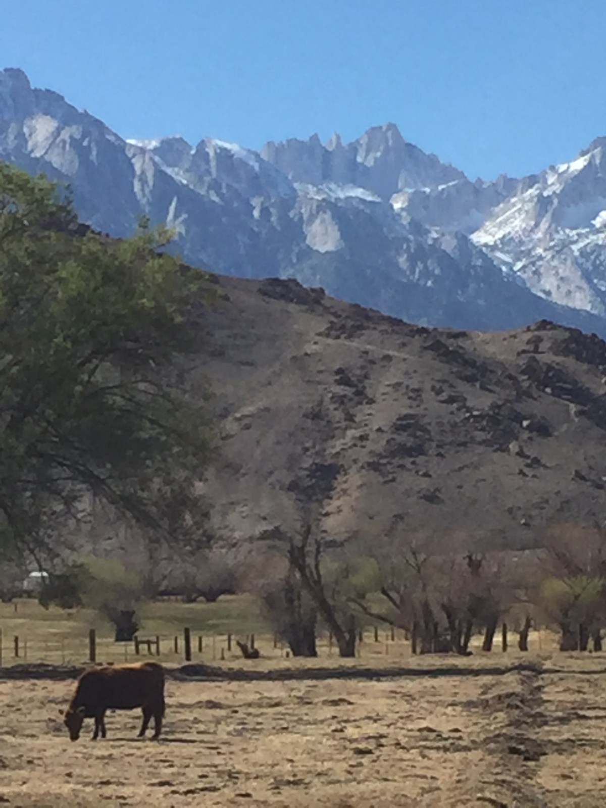
Leaving Death Valley we made our way up and over the Panamint Range and across the Owens Valley to Lone Pine.


Then Manzanar. A reminder of how a nation can betray its conscience and constitution.


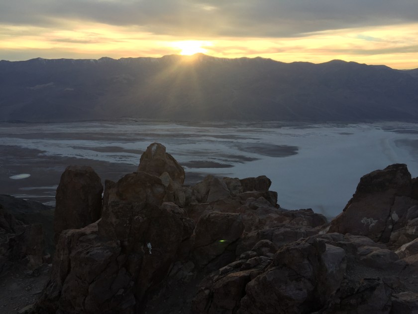
Another magical winter’s sunset from our campsite on the East Side.
Bracketed by an equally magical sunrise the following morning.

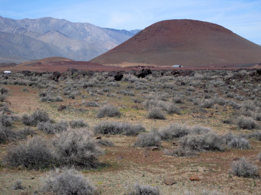
On the way out of the Owens Valley, a stop to see Red Hill and Fossil Falls in this land of fire and ice.

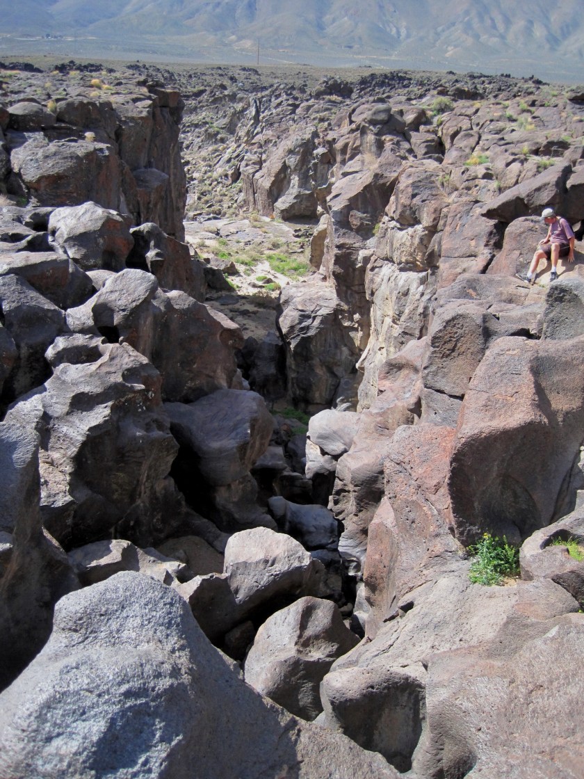
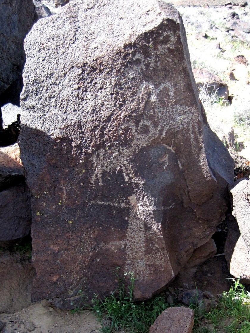
A posting from the Coso People on a prehistoric blog?

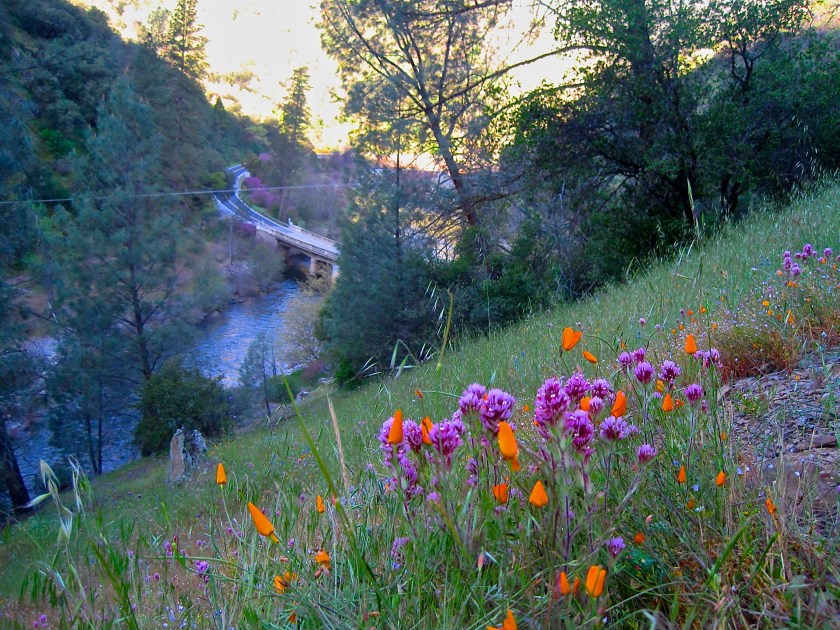
The bloom wasn’t restricted to the desert. Throughout California’s natural plains, foothills, and mountains the arid and dusty ground sprang to life.
Meanwhile closer to home, another day and another springtime story awaits about a trail on the South Fork of the Merced River to Hite’s Cove…

One thought on “2016 Sand to Snow Super Bloom Tour in the TRD”