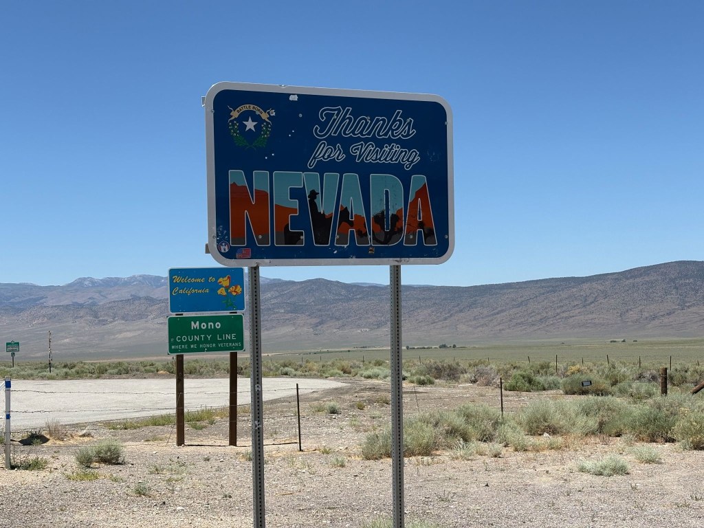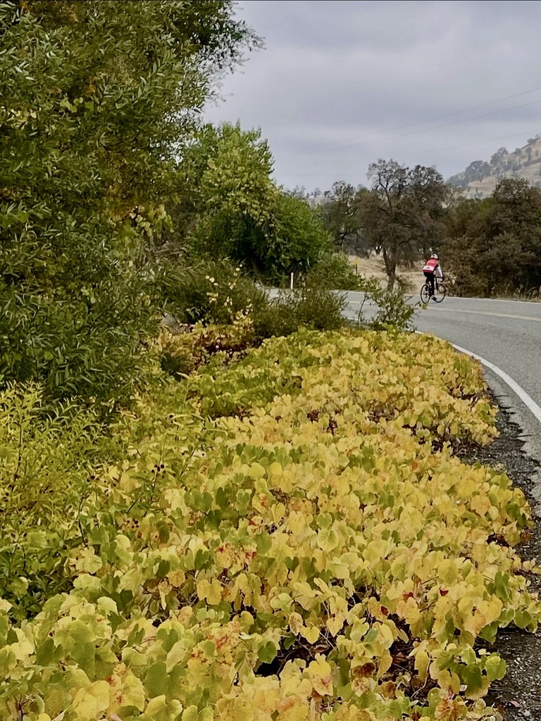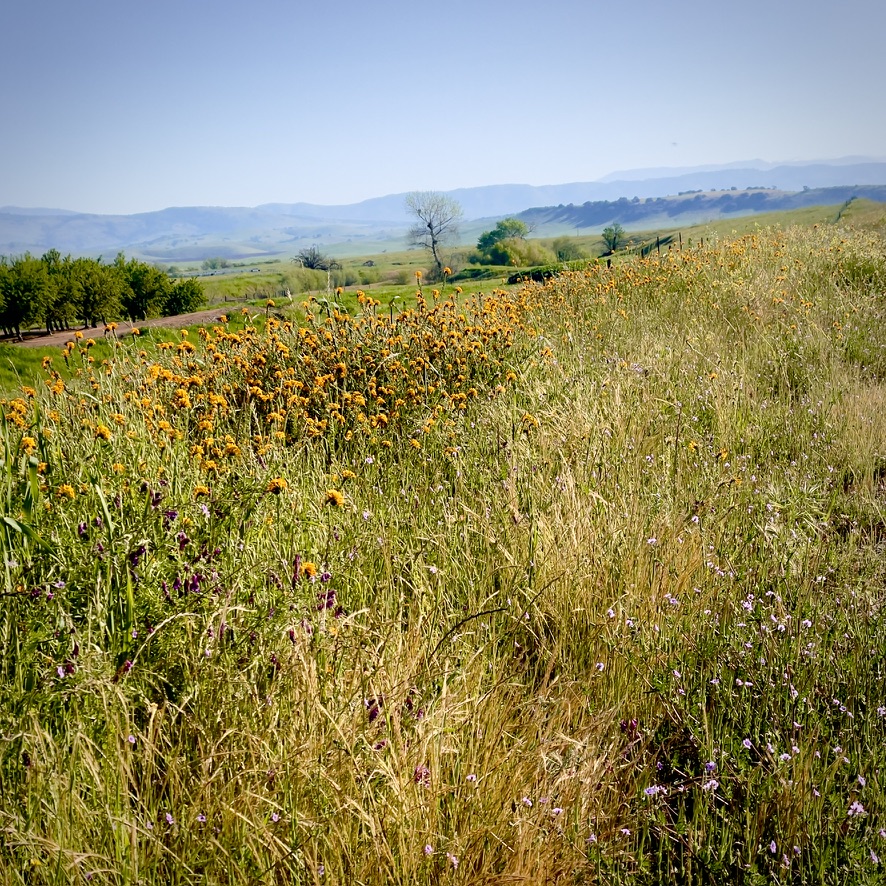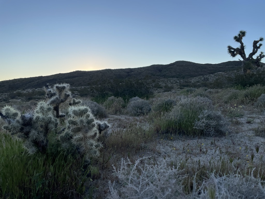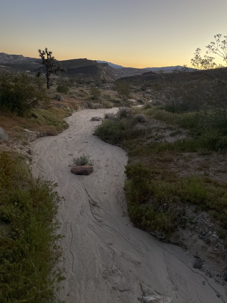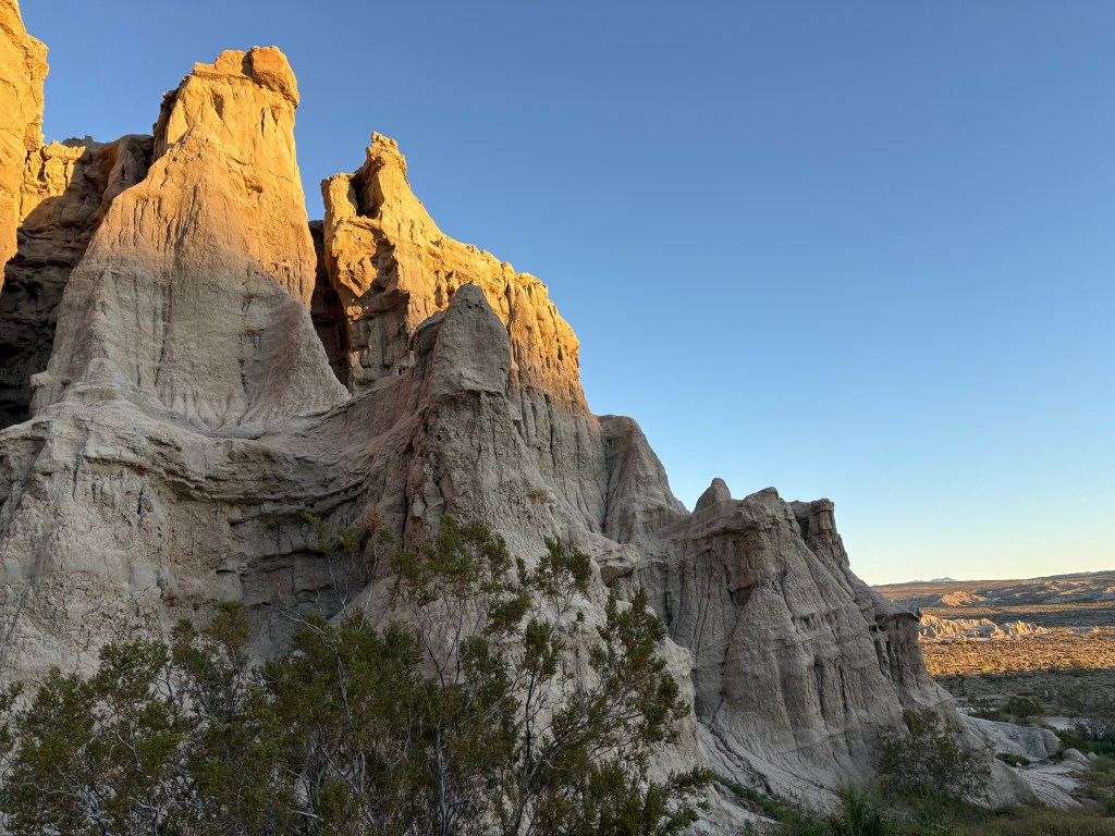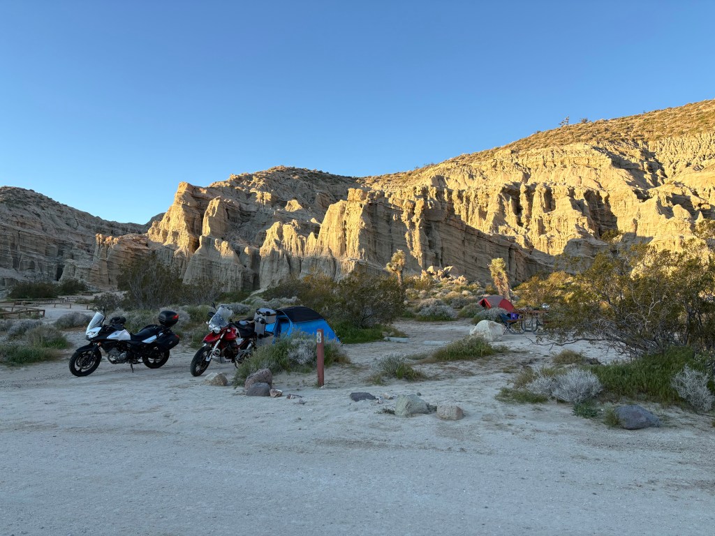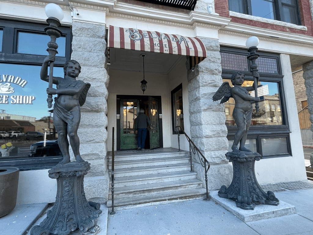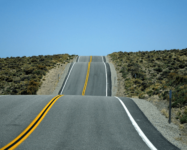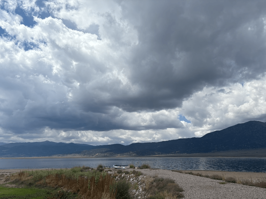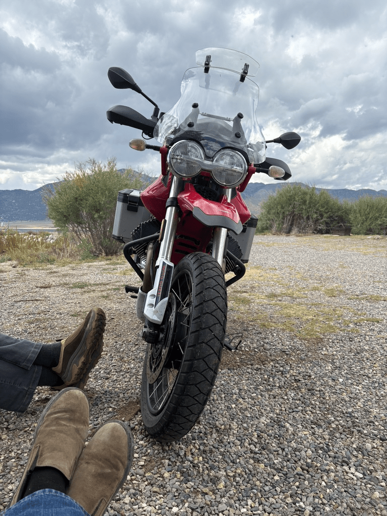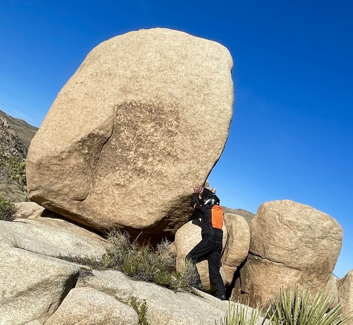
Epic Western Ramble

Ride Report


Days were getting longer, warmer, and closer to the solstice.  A northern route was proposed with an AI assist, one that I found useful, however inaccurate at times.  This route ended up disappearing from glitchy technology while on the ramble.  The paper map back-up also disappeared somewhere along the road from Vernal to Torrey Utah.  Somehow we managed to enjoy seven states (CA twice) in eight days without navigation or incident and I quietly celebrated my birthday…
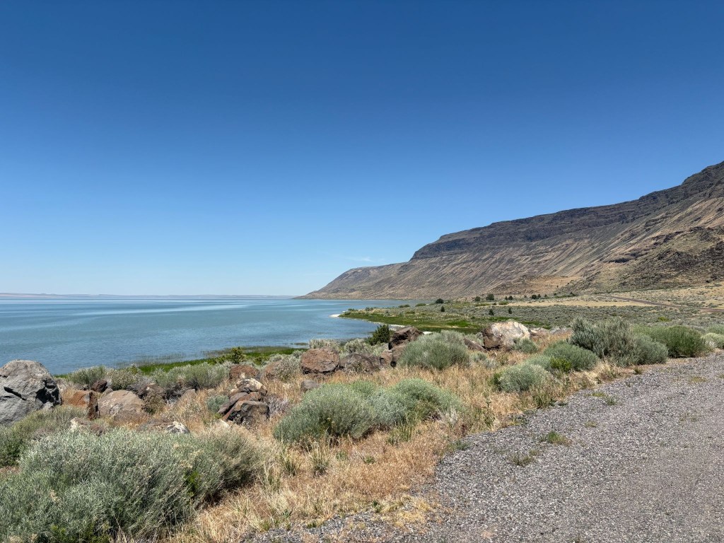
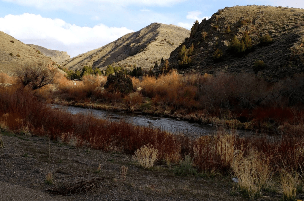
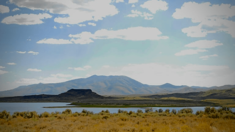
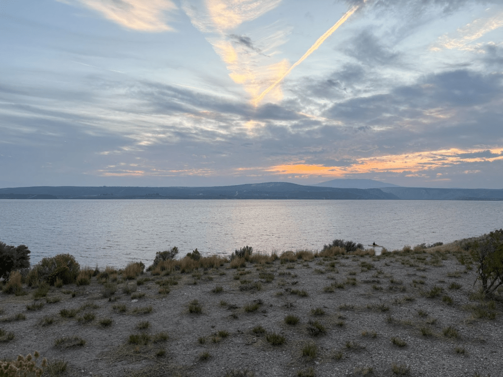
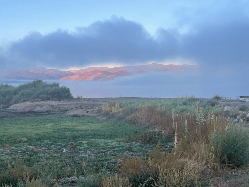
Albert Reservoir and the Albert Rim in Oregon
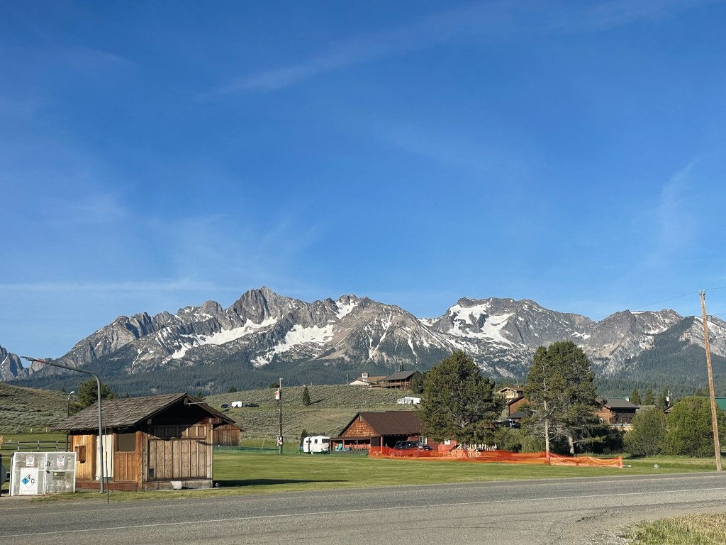
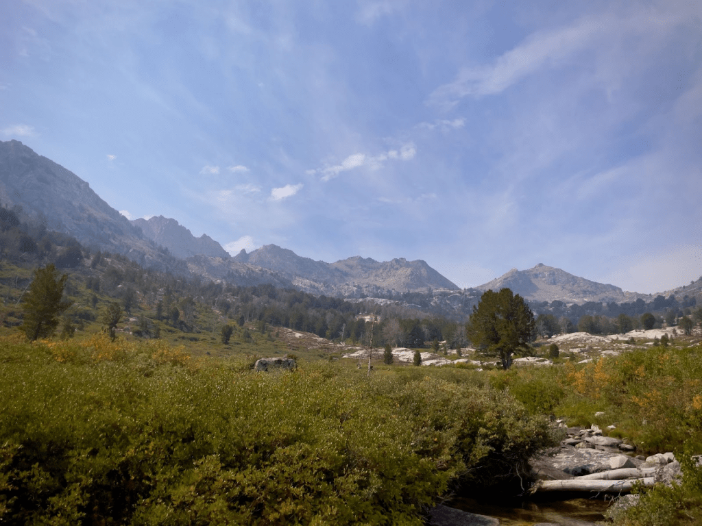
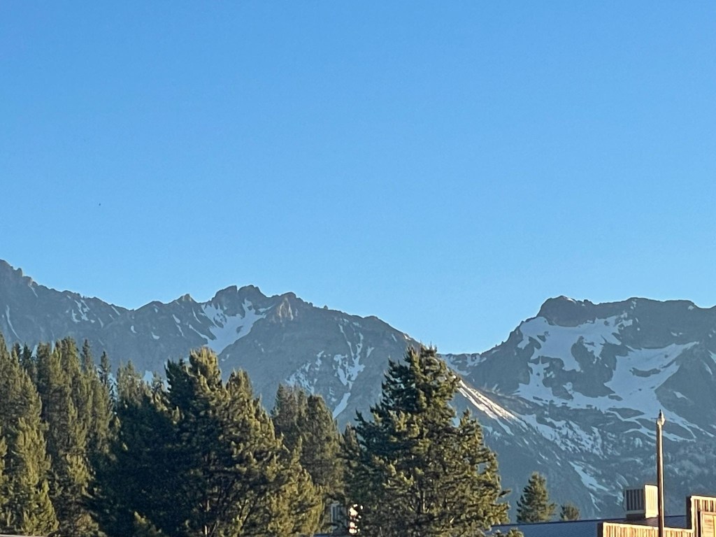
The Sawtooths from Stanley, ID
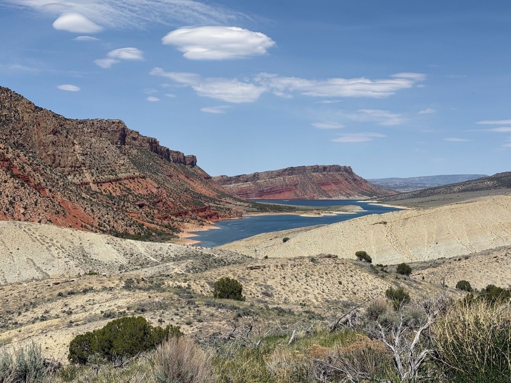
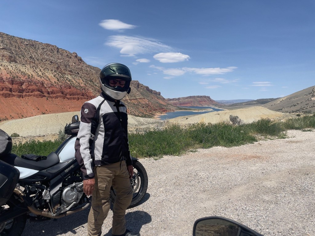
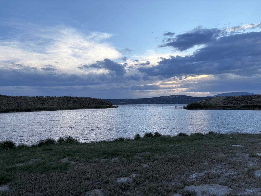
Flaming Gorge lake, UT
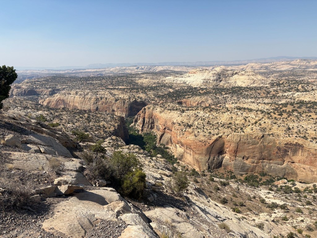
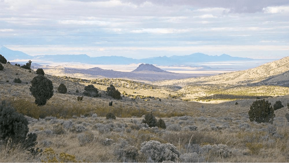
The Escalante, UT
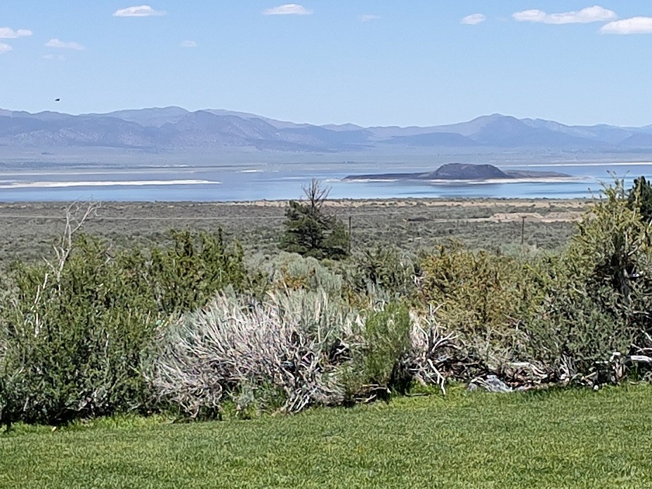
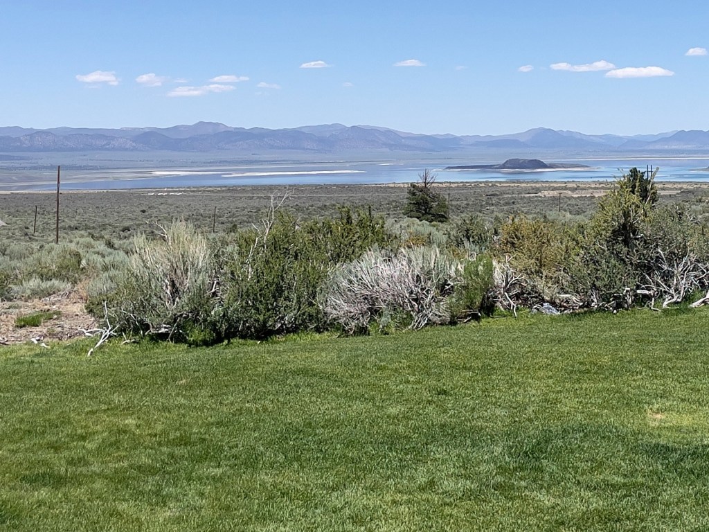
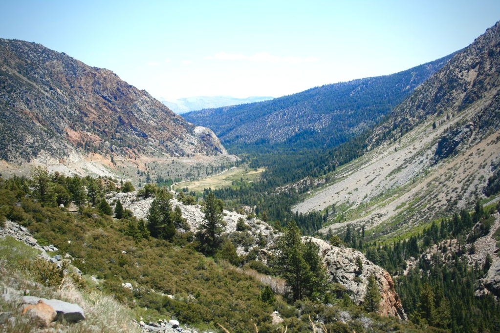
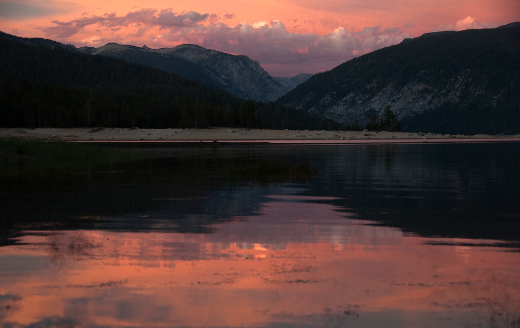
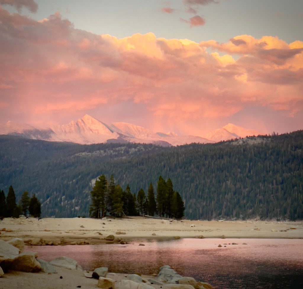
Mono Lake, CA

Per the usual trip highlights, we rode through amazing landscapes, quintessentially western and met interesting locals and travelers, who like ourselves, were curious about these iconic western locales.  And for at least three days, it was technology free rambling.  Cellular coverage is weak if not totally absent from many of these rural western locales.  Our Cardo comm devices defied spotty cellular coverage so we could at least converse about the scenery and whether the route resembled the plan.  Columbus didn’t need cellular coverage.  All he had to do was shout an order from the deck.  Though, he might have made it to India if he had…

Sisyphean Ramble Planning Criteria (SRPC)

Our “absolutes” when rambling include roads that follow the Butler Motorcycle Map descriptors:  

Butler Motorcycle routes are graded with descriptors such as G1, G2, and G3, where G1 indicates the best combination of twisty pavement and scenic views. Additionally, routes are marked for features like “Paved Mountain Trails,” which indicate roads with no center line and uncertain conditions or “Lost Highways” roads with faded center lines, crumbling shoulders, and long lonely miles, i.e., a “blast from the past” feel.

If you read the SRPC (Sisyphean Ramble Planning Criteria), framework in the preceding post, File this Under:  The Old Dog Learns a New Trick (A Cautionary Tale) the Butler grading system explanation reframes the AI conflict from “old man yells at chatbot” to an interesting navigation philosophy clash.  Especially in light of losing the digital “Drive” routing as Google Maps disappeared on the third day while on the bike.  As did my iTunes.  On more than one occasion, Google and Apple were yelled at, I might add, often in vain…

This presented one of the difficulties while planning in convincing AI that avoiding highways of the Interstate variety or freeways in populated areas would necessarily lengthen the day’s ride beyond another absolute, limiting 300+ mile days.  Since we were motelling this ramble, our preferred camping mileage of ~250 mile days, was suspended as setting up and breaking down camp has more moving parts than checking in and out of a motel.  And there are showers.  I used AI in selecting lodging for the first five days, on the recommendation to do so as the post-Memorial Day vacation fury was about to convulse.  Apparently motels, like campgrounds, aren’t the only place to seek refuge in an unfamiliar place that gets hoarded by anxious travelers on January 1. 

Bon Voyage

Day 1 – Monday, June 15

Merced to Susanville ~303 miles

CA-59/J59 → Jamestown → CA-49 → Angels Camp → CA-4 → Ebbitts Pass → Markleville → CA-89 → CA-88 → Minden, NV → US-395 Eastern Sierra → Carson City → Susanville → Diamond View Motel

Departing the Central Valley on CA-59 and stepping onto the historic J-59 foothill corridor, the journey climbed steadily into the rugged heart of California’s Gold Country.  The landscape traded flat farmland for rolling, oak-studded hills as we arrived in the historic hamlet of Jamestown.  Forget the pork, the historic chicken wing of Jamestown, home of the Chicken Ranch Casino.  

Joining the iconic CA-49, we wound north through the heart of the Mother Lode to Angels Camp, a town steeped in frontier frog lore and the Mark Twain Vrbo.  At Angels Camp, the route pivoted east onto CA-4, launching a dramatic ascent into the High Sierra.  The road narrowed to a “Paved Mountain Trail,” and twisted sharply as it conquered Ebbitts Pass, a breathtaking, white-knuckle alpine crossing that tops out over 8,700 feet amid granite crags and sweeping wilderness vistas.  Be sure not to miss a shift down to first gear, thus hitting neutral, on a 10 mph hairpin.  I speak of experience.

Descending the eastern slope, the highway brings you into the quiet mountain outpost of Markleeville.  Like most small mountain towns open all weekend, it was pretty much rolled up on a Monday morning.

SMAP enjoying a spot of Markleville’s shade as Sisyphus stretched his nalgas

From Markleeville, you pick up CA-89 and link up with CA-88, dropping out of the high alpine forest into the wide, sweeping ranch lands of Minden, Nevada.  Turning north onto the historic US-395 highway along the Eastern Sierra flank, the route passed straight through the heart of Carson City.  Cruising through Reno, the final, long northbound stretch carried us back across the California line and through the arid sagebrush plains of Lassen County.  

The SRPC motel criteria has evolved.  We prefer classic motor courts or motels.  They must, however, not be decrepit.  For instance, this is an example of a place that would be rejected by applying the SRPC:
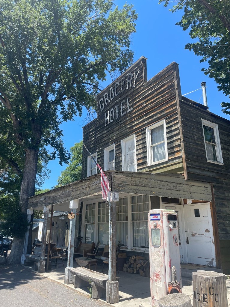
Sorry Doyel, we’ve got miles to go before we sleep

Not because it was a Hotel and not a Motel, not because the towels probably weren’t transparent, but because it was in Doyle, California a town decidedly not on the rise.  Towels notwithstanding, gas was a bargain at the Doyle Grocery Hotel where the red pump was retired long before the proprietor and long after it had lost its sheen.  Back on the bikes, some 42 miles short of our destination, we ultimately brought the day’s long ride to a close at the faded (and presumably lighted by a series of extension cords) marquee of Susanville’s Diamond View Motel.  
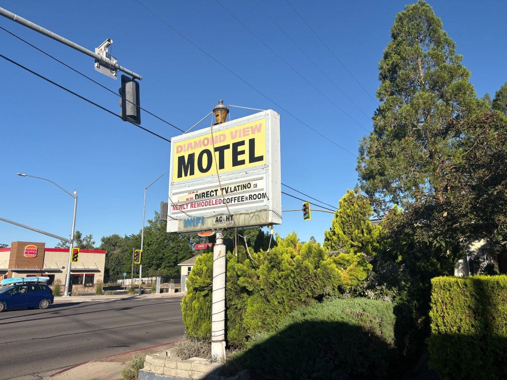
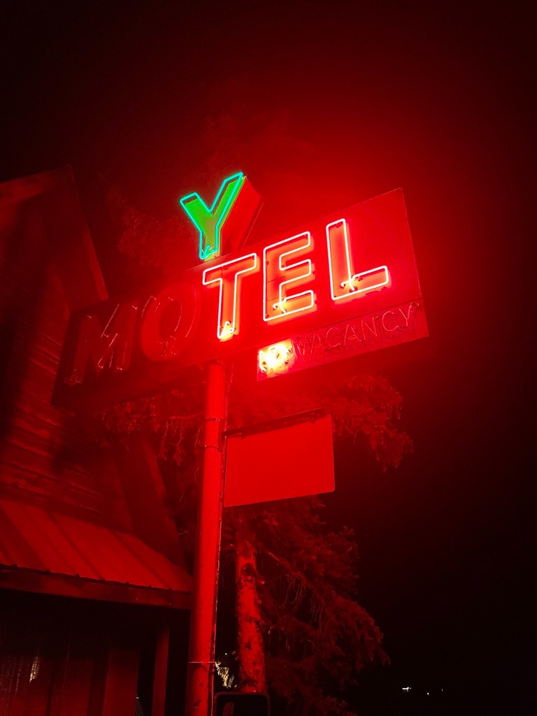
The sign sums it up

Just prior to departure, I decided it would be best to secure reservations for lodging for the first half of the trip.  I did so because Claude, my AI assistant, recommended confirming reservations as this was prime vacation season in the direction we were headed, particularly for moto-ramblers like ourselves.  However,  discovering that I had the wrong dates for each of the four reservations I had hastily made, rather than call back and rearrange and possibly lose a booking, I revised our departure date.  I did this without Claude’s assistance.
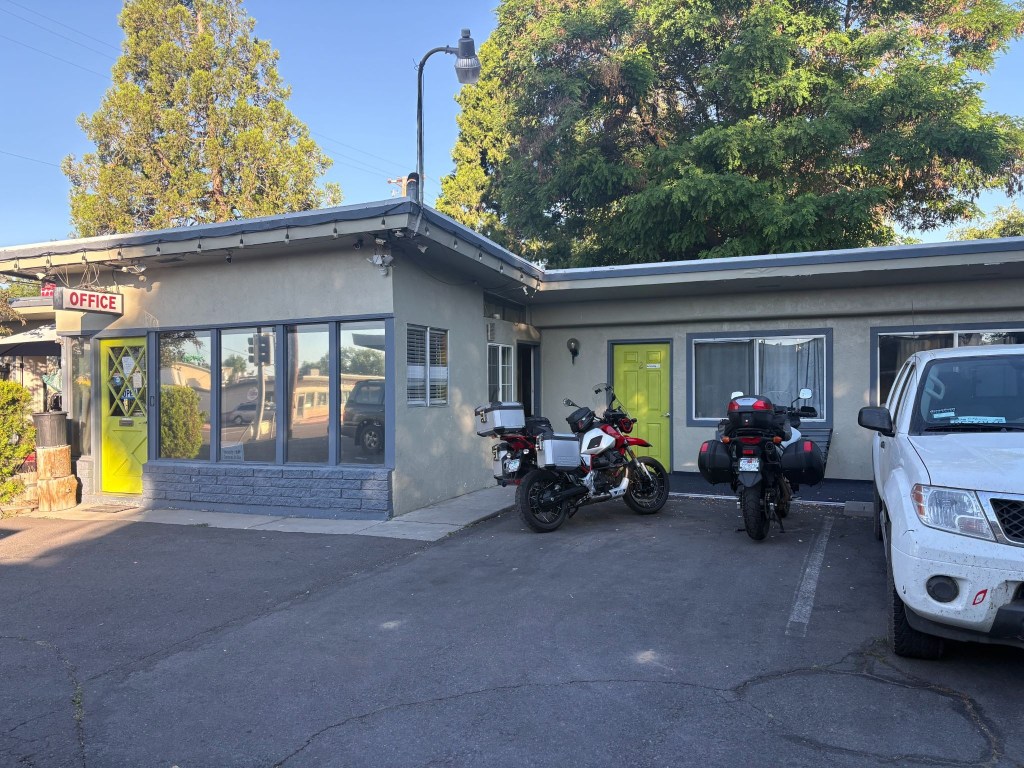
Susanville, CA rivals Chama, NM, long the gold standard of Sisyphean overnight stops

In making the reservation for the Diamond View with Ming, the sole proprietor of the place, on the Friday prior to our intended departure on Sunday, June 14, I accidentally booked the room for our first night on the road, Monday, June 15, my birthday.  Along with reservations for the Silver Spur Motel in Burns, OR, the Mountain Village Resort in Stanley, ID, the Swiss Mountain Motel in Thayne, WY, the Patriot Stay Motel in Vernal, UT and the Rim Rock Inn in Torrey, UT, all were subsequently a day off too.  So, rather than risk losing any of the aforementioned lodging, I simply rescheduled the departure.  I didn’t need Claude to figure that out either.

Ming sounded to be a nice, if somewhat, non-fluent English speaker over the phone.  Upon checking-in on our arrival I requested, politely with a touch of snark, the “presidential suite.” To which she mumbled in response, something like, “What a president?”  Her perplexed look, staccato English, and my embarrassing explanation that it was a joke concluded our only contact with her.  She retreated to the laundromat across the driveway, further mumbling, unimpressed by my sarcasm.  

Check-in now achieved, we unpacked and cranked up the room’s air conditioning. It was in the mid 90’s by mid-afternoon.  The air conditioning, noted on the marquee along with HT (heat?), worked fabulously.  I guess that was compensation for not having “coffee in room or WIFI”.  It all began to make sense.  The motel appeared to be populated by a group of “eccentric” folks of questionable sobriety and means.  The sheer number of security cameras attached to the office eves and the room decor explained everything.  Maybe Ming preferred viewing the motel’s parking lot tableaux to “Direct TV.Latino”.
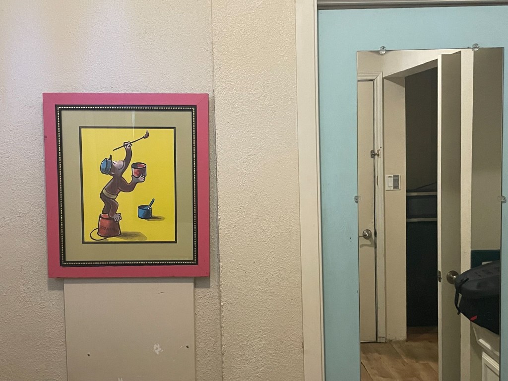
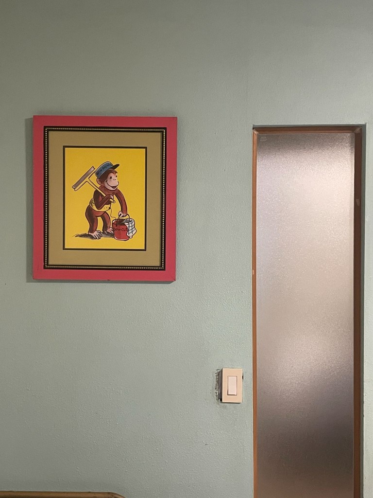
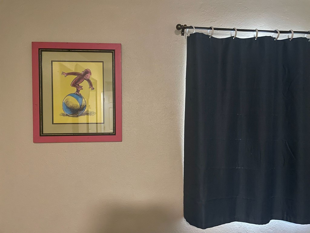
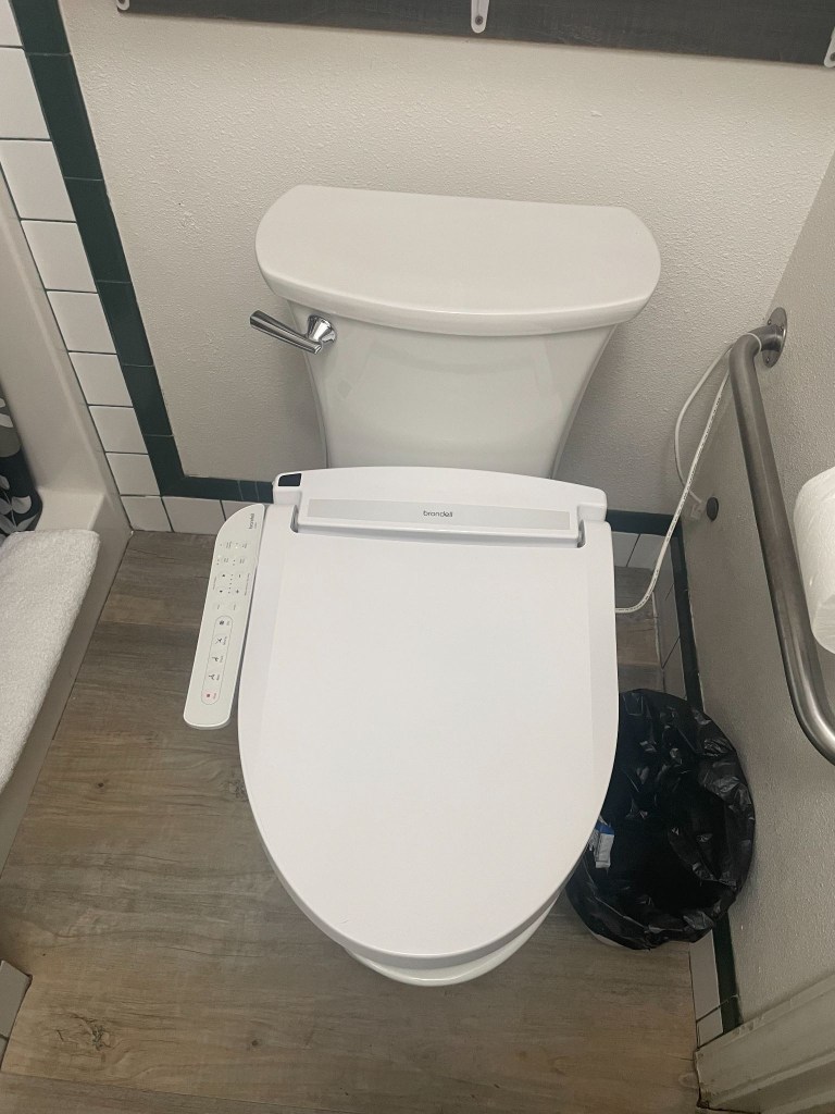
Room #1  was the “Curious George Suite” with a bidet

And Yes, Susanville, California is considered the definitive textbook definition of a “prison town”

Little did we know that local business owners, including multi-generational motel operators, openly state that their properties rely directly on business from families traveling across California to visit incarcerated relatives.  In spite of such transparency, Ming neglected mentioning when I arranged the reservation that The Sierra View was just such an establishment.  Our first impressions were confirmed when our immediate neighbor in room 2 emerged from her room as we rolled up.  She sat down, a woman who painted her toenails while chain smoking.  We later found her with two young children who appeared from the room.  This was likely an inmate’s family visiting.  In the spirit of Bill Maher, we didn’t know it was a fact, we just knew it was true.  

Since all of the rooms were Non-Smoking, we soon became familiar with mom and her family.  While putting the finishing touches on her toenails, her young son, maybe 10 years old, came up to me with a can of soda and invited me to, “See a great prank to pull on someone.”  Was I being set up? 

Pointing out that the tab of the can was intact, and by all appearances looked to be a full can of soda, he demonstrated the can was empty.  He did this by dropping the can to the ground to emphasize its emptiness.  Summoning empathetic amazement I asked how in the heck had he done it.  He explained, “I just pull the tab a little bit then supersuck the Sprite then I push the tab down.”  I wasn’t sure if this was the pre-dinner show — I probably owed him a tip.     

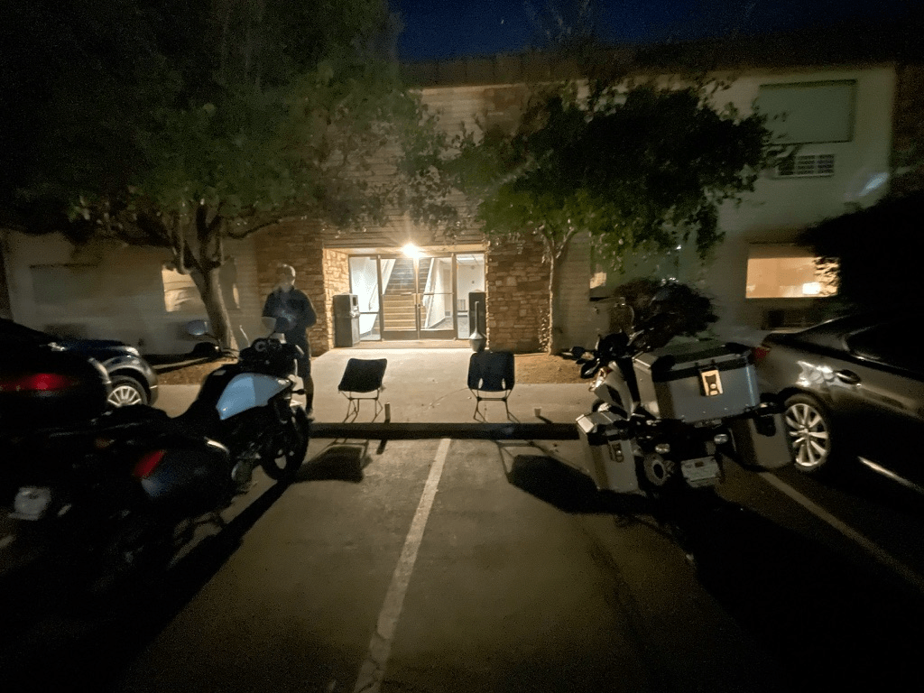
After dining next door at the Mazatlan Grill, we retreated to our camp chairs, as is our routine, outside of the room, to enjoy beverages procured from the gas station across from the motel à la the 3R’s:  rehydration, relaxation, and reflection on the day’s ride as well to gain some sense of the rhythms of Susanville as the sun was setting.
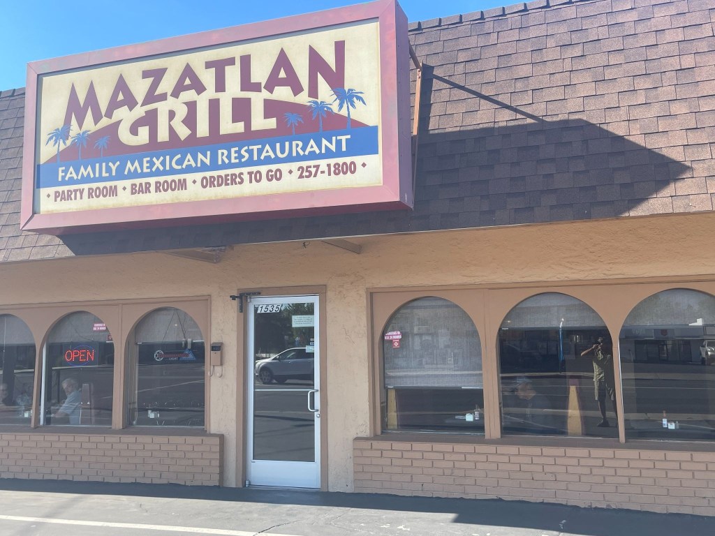
Sisyphus in reflection, literally, and SMAP (right) studying the menu as the guest (left) reflected, figuratively, on what I was doing

About that time a group of Latino laborers showed up in a pickup shouldering a 36 pack of Budweiser and other packages, likely take-out. They appeared to eye the parking space we had planted our bikes in that was likely theirs on nights when the only room, Room 1 not rented by the week or month, isn’t occupied.  They quietly retreated to the room attached to the motel’s office, presumably the proprietor, Ming’s residence.  Odd, thought we, but perhaps this was the nature of the Diamond View perfectly aligned with the rhythms of Susanville.  We then surmised that not all of the guests were inmate visitors.  We raised our beverages in salute to the working men and they quietly acknowledged our gesture.    

Pete, bilingual, later found out they lived in what was the motel office manager’s apartment, all five of them, and they spent their days in the mountains above Susanville harvesting pine cones.  Pine cones that are used in making wreaths, flower arrangements, and anything else requiring little pine cones.  Other guests at the motel wandered back and forth throughout the evening, joining them.  Perhaps they were little pine cone mules.  Perhaps that explains why Ming retreated to the laundromat across the parking lot.

It was an interesting community made up of folks who managed to endure what Sisyphus and SMAP take for granted:  secure in our intent to ramble, willing to risk some of that security in pursuit of a little sketchiness.  It all must have made interesting video alerts for the security cams:  Smokers, children doing magic tricks, laborers enjoying a 36er, and two blokes in camp chairs taking it all in.  One of the guests who appeared to be familiar with abusive substances commented that our little camp chairs would be ideal for using while fishing.  We didn’t leave them out that night. 
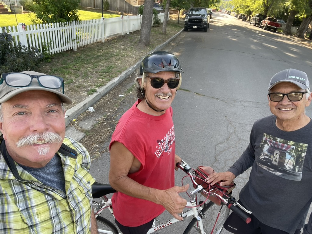
Day 2 – Tuesday, June 16

Susanville, CA to Burns, OR ~299 miles

CA-139 → Alturas → US-395 Oregon Outback (New Pine Creek → Lakeview → Wagontire → Riley)  → US-20 → Burns → Silver Spur Motel

California’s Loneliest Road

An early start guaranteed we’d be spared the afternoon heat.  Sort of.  SMAP suggested we depart from US-395 to make our way to a breakfast stop in Alturas taking CA-139.   This state highway 139 from Susanville to Alturas takes you through one of the most rugged, isolated, and untouched volcanic corridors in the American West.  Officially ranked by data analysts as California’s “loneliest road,” this two-lane highway averages fewer than 1,500 vehicles a day, carving a quiet path through vast high-desert basins and dense pine forests.  Perhaps where the pine cone harvest takes place.

Because CA-139 actually runs northwest toward Oregon, traveling from Susanville to Alturas requires driving CA-139 north to the town of Adin, then merging onto CA-299 east to complete the trip into Alturas.  The Susanville Climb & The Volcanic Rim  Ascent begins just east of Susanville, where CA-139 splits from CA-36. It immediately hits a steep, winding mountain grade as it climbs up the rugged slopes of Antelope Mountain.  This was a brilliant detour from the planned route.  SMAP recalled having taken this road in the opposite direction on a ramble a few years back.  Who needs Google maps when SMAP is on board.  If only Columbus had a SMAP on board the Santa Maria.  

The first 60 miles out of Susanville are notorious among truck and RV drivers for being exceptionally narrow and “skinny,” lacking shoulders or large breakdown lanes. It features continuous roller-coaster ups and downs.  As the road crests the rim, it descends into the spectacular Eagle Lake Basin. The highway skirts the eastern edge of Eagle Lake, California’s second-largest natural freshwater lake offering sweeping high-desert lake views and premier opportunities to spot nesting osprey and bald eagles.  We saw some mallards.
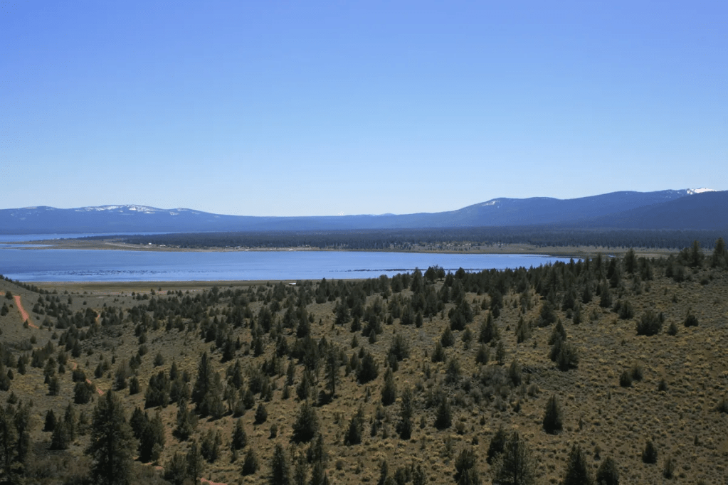
Eagle Lake visited a couple of times back when I attended Chico State

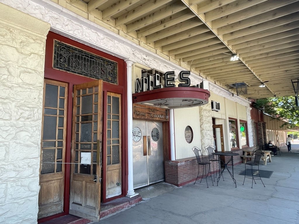
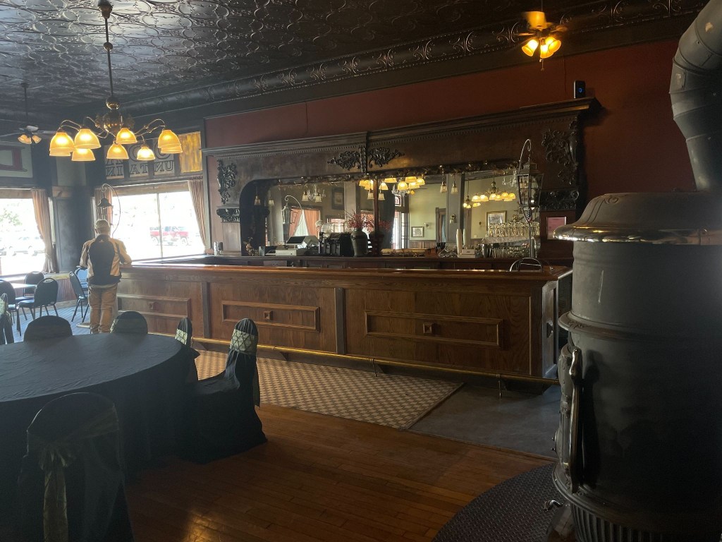
A breakfast stop at the historic Niles Hotel in Alturas punctuated the beautiful morning ramble up CA-139.   As with most rural small towns, this Tuesday morning was peaceful with an easy feeling.  We were tryin’ to take it easy.  (Hotel Niles isn’t the Hotel California)
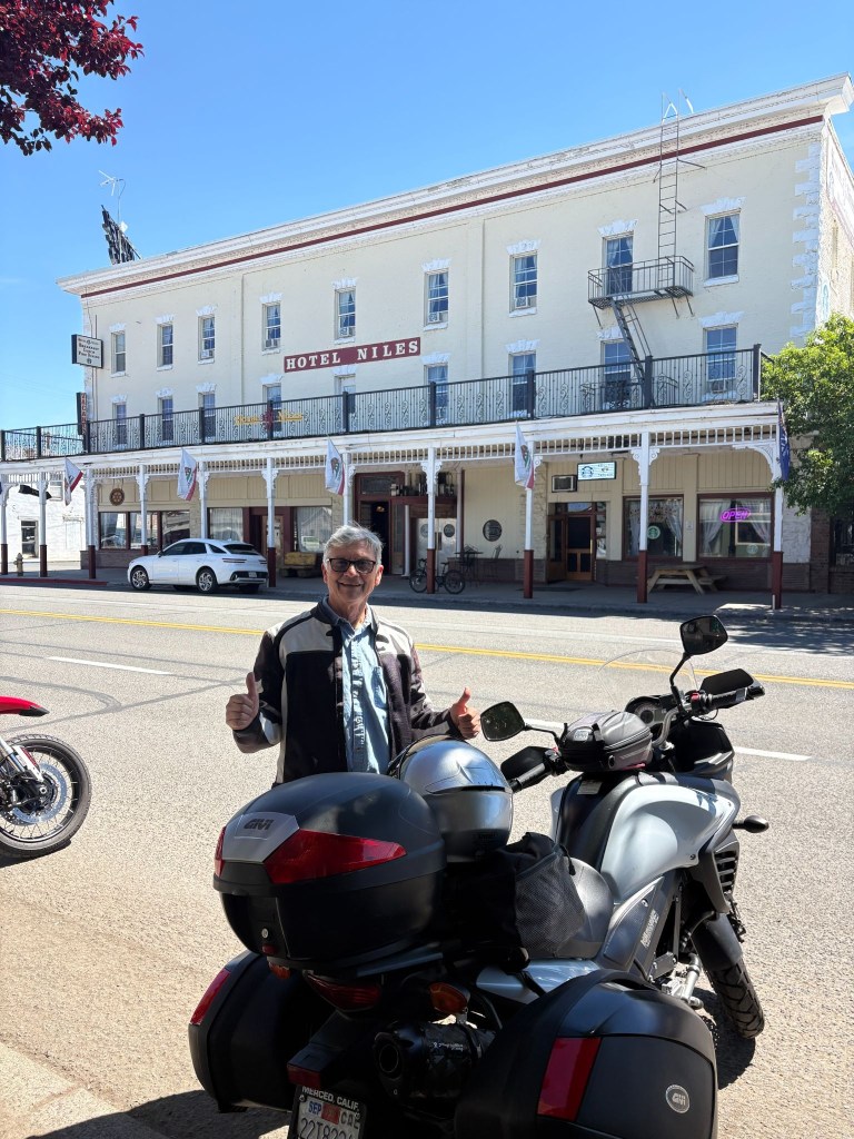
SMAP enjoying the peaceful easy feeling of the Niles (not California) Hotel in Alturas, CA

Heading north from the California border toward Burns, the landscape is defined by the Great Basin high desert.  The terrain is an open, desolate expanse of sagebrush plains, dry lake beds, and volcanic rims.  Landscapes we would be seeing throughout this ramble.
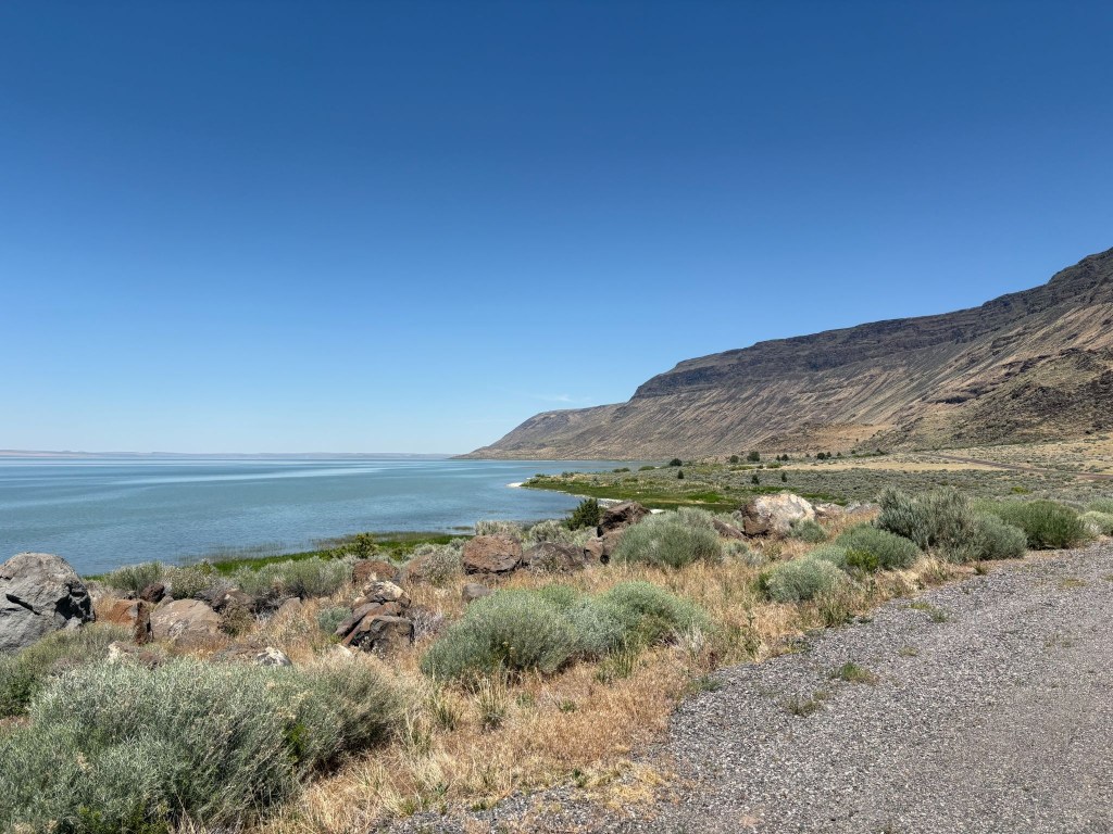
Lake Abert, not currently a dry lakebed, and the Abert Rim, currently an ancient lava flow

The Abert Rim is one of the most visually spectacular and geologically significant ancient lava formations in North America. Located right along US-395 south of the Valley Falls junction (on the southern approach toward Burns), it is not a fresh, black lava flow like Devils Garden a few miles up the road near Wagontire or Hell’s Half Acre or Craters of the Moon in Idaho, but rather a massive, 30-mile-long tilted block of ancient flood basalt layers that has been thrust thousands of feet into the air.  Oregon seems to have won the volcanic dunk competition. The Albert Rim makes the lava flow in our neighborhood from Dardanelle, near Sonora Pass, to the Stanislaus Table mountain, near Copperopolis, appear puny, a mere volcanic layup.  

At Valley Falls a brief stop for hydration at the Valley Falls Store afforded the opportunity to meet a couple, she on a Harley, and he on an Indian, who, by their own admission, were headed to Winnimucka-ish.  It wasn’t getting any cooler but they looked worthy of making the miles.  Apparently the Indian-Harley kerfuffle hadn’t soured their relationship.  The Lowdown Show by ADVrider

From here, you enter an incredibly isolated 140-mile stretch.  You will pass through the tiny outpost of Wagontire—famous for having a population of fewer than five people and this fellow…  
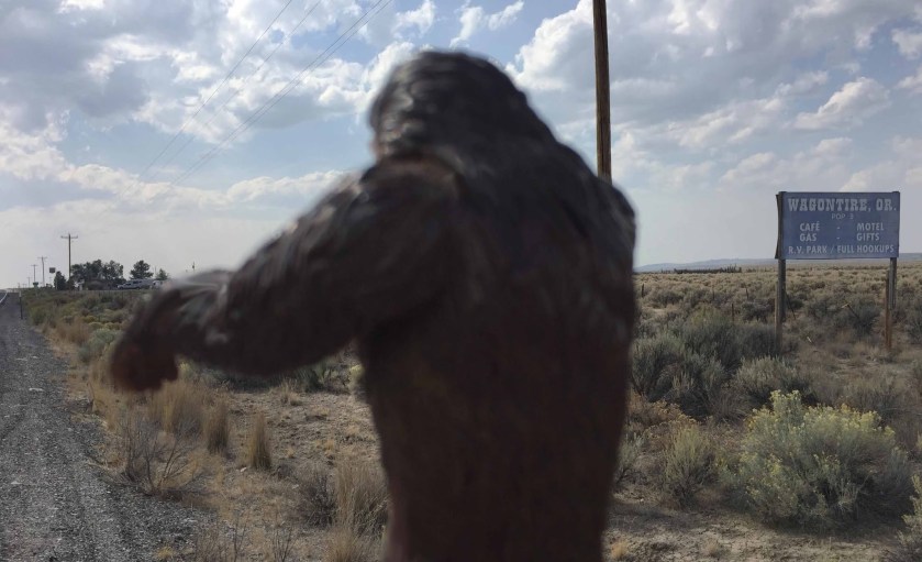
Sasquatch sighting in Wagontire!

US-395 is long, straight, and empty. You must watch out for “Open Range” signs, as cattle frequently wander onto the unfenced highway. Maybe at times, even other large hairy mammals.  At the tiny community of Riley, US-395 merges with US-20, turning east for the final hot flat stretch into Burns and our destination for the night, the Silver Spur Motel.

Dreaming Big In Burns

We checked in at the Silver Spur first by startling the attendant at the desk as I introduced myself, “Hi Marisa, I’m Sysiphus and you know why we’re here.”  It wasn’t a question.  It was declarative.  She was the person I had arranged for the room a few days prior.  I guess I didn’t make much of an impression in that initial phone conversation, by not declaring why we were there.  She replied, “Because you need a room?”  Snap, as young people used to say…

Moving along from my second lame conversation with a motel front desk person, I redirected,  commenting on the retro flagstone sign and mid-century modern low pitched roofline, attempting saving grace by striking up a conversation about the place.  She told us that a local rancher had purchased the motel and was in the process of restoring it to its lustrous past.  

After Marisa apologized for the in-process renovation I asked if said renovation had impacted air conditioning.  She replied that there wasn’t any.  Snap again!  She had two-upped me!!  We pretended to assure her that was not an issue.  She giggled admitting that I would stand with a slight lean as one leg had been pulled twice. She then recommended a walkable Mexican restaurant down the street and so we unpacked and made our way to El Toreo where we had a delicious chicken mole.   
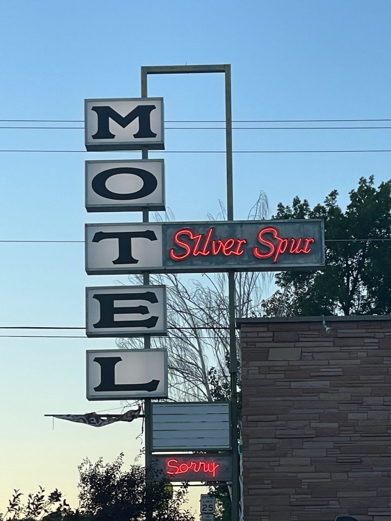
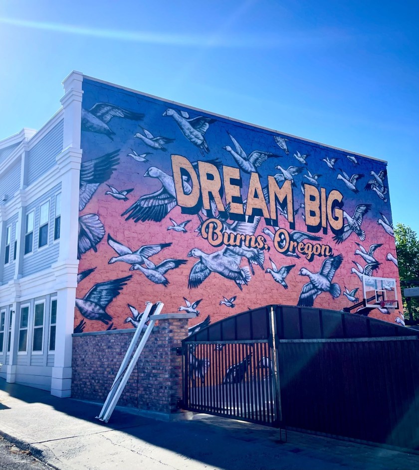
Early and Mid Century Dreaming Big in Burns Oregon!

We somehow managed to find a shop willing to sell us our customary beverages enjoyed while relaxing and rehydrating as we reflected on the day’s ramble.  The landscape through which we traveled this day was wide-open, with arid vistas of the Oregon High Desert and the northern limits of the Great Basin.  Thirsts needed quenching.

The evening concluded as the sun set and 3-R beverages were enjoyed while the day was revisited  It appeared the motel was full given the parking lot had no empty parking spaces.  Despite the sign, there was nothing to apologize for.  The Spur Motel was decidedly less “eccentric” than the previous night’s Diamond View stay.  At least Marisa understood my sometimes obscure sense of humor (and I hers) and the Mexican cuisine was better too. 

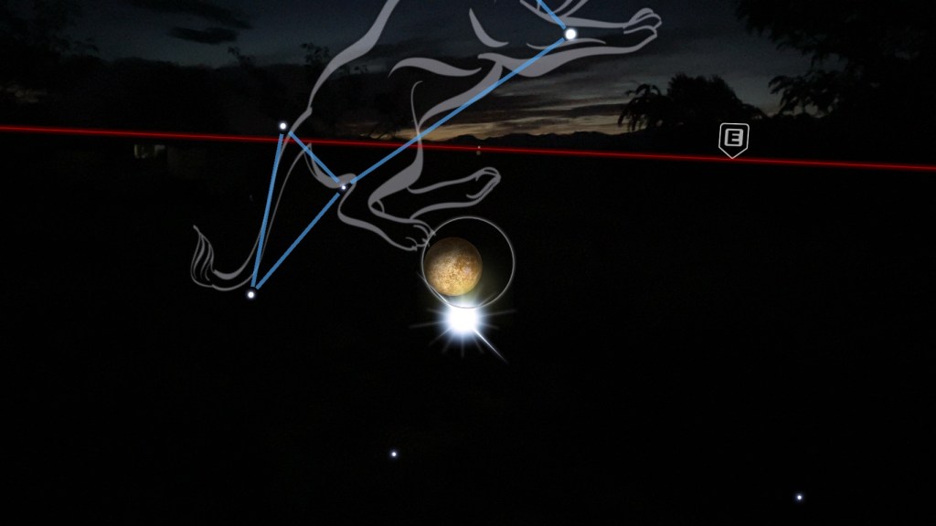
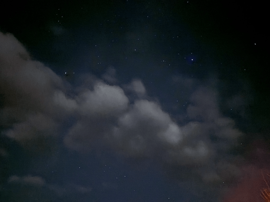
 A couple we met who roomed next door had been traveling for months across the US in their Subaru Outback.  They departed after dark to check out the night skies, just outside of town, away from the city lights.  The region boasts some of the clearest and darkest skies in the country, offering an unparalleled stargazing experience.  That reminded us of how much we missed the night skies usually reserved for camping.  A comfortable mattress and air conditioning eased our nostalgia as the waxing crescent moon, Jupiter, Saturn, and the Evening Star, Venus appeared over the horizon;  Mercury was too faint for our geezer vision.  
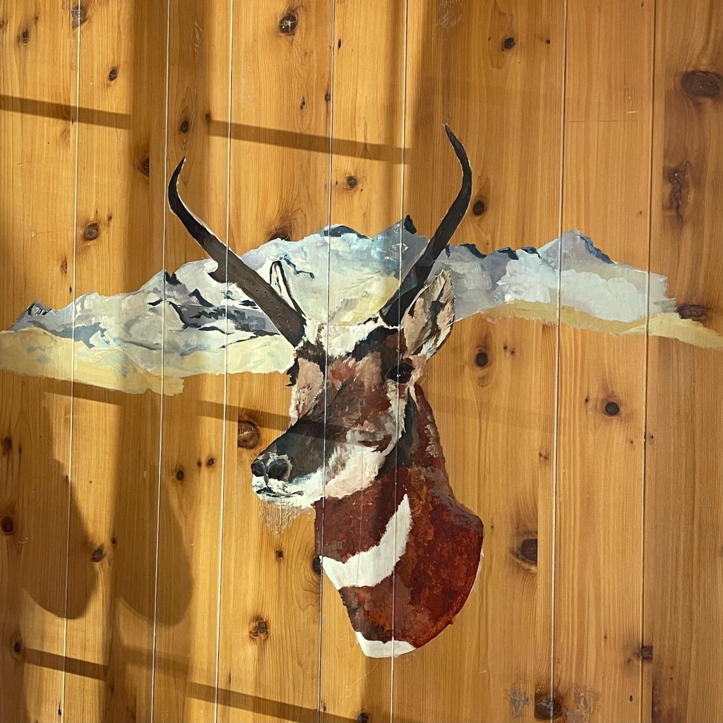
The Pronghorn Suite, with original pronghorn artwork painted on the wall above my bed, easy to see

Day 3 – Wednesday, June 17

Burns, OR to Stanley, ID ~286 miles

US-20 → Juntura →Vale → US-26 → OR-201 → Ontario, OR → US-30 → SW-18th St → SE-2nd St → US-30 → OR-72 → Hamilton Corner → OR-52 → along the Payette River → Horseshoe Bend → OR-55 → Banks Lowman Rd → over Grimes Pass → Lowman → ID-21 the Ponderosa Pine Scenic Rt → Stanley, ID → Mountain Village Resort

There’s More to Idaho than Potatoes

Leaving the high-desert hub of Burns, the route rolled east on US-20 through a vast landscape of sweeping sagebrush plains and dramatic rimrock cliffs.  The highway hugs the Malheur River canyon, passing the quiet outpost of Juntura before opening up into the ranching valley of Vale.  From there, a quick transition onto US-26 and OR-201 lead straight into Ontario, the final border town on Oregon’s eastern edge.

After navigating Ontario’s local grid via US-30, SW 18th, and SE 2nd streets, the journey crossed the state line into Idaho. Jumping onto OR-72 through Hamilton Corner and transitioning to ID-52, the terrain shifts dramatically. The road wound along the lower curves of the Payette River, trading the arid high desert for lush green riverbanks, whiteish-water rapids, and irrigated fruit orchards, alfalfa, and potato fields.  The route followed the river canyon to Horseshoe Bend (not the Utah one), briefly heading north on ID-55 to the rafting hotspot of Banks where some 31 years ago I along with several knuckleheads doused ourselves on a brutally hot bicycle ride across Idaho under the bridge over the Payette River. 

Here, the journey turned onto the twisting Banks-Lowman Road, taking a rugged backcountry detour over the historic, winding heights of Grimes Pass. But not before we encountered a delay.  A portable, variable message sign warned of a road block. It had been placed a quarter mile down from the actual road block, some 15 miles from where the one-way only route to Stanley intersects with ID-55 WHERE SUCH A SIGN SHOULD HAVE BEEN PLACED!  It was a Boise County project doing shoulder maintenance.  You’d think they would have thought about the signage placement.  Maybe they had…

We were the third group who had just missed the golden lunch hour transit window.  The electronic messaging sign indicated that the road was closed from 8:00 am till 12:00 pm.  It was open for one hour 12:00 till 1:00 pm then closed from 1:00 till 5:00 pm.  Of course, we arrived at 1:15 pm.  Besides the sign, virtually at the location of the road block, was obscured by being on a curve.  There was no way to read the closure schedule, even at legal speed.  We witnessed several vehicles that had to engage ABS to stop at the road block, apparently not seeing the signage either.  

Pete and I decided to kill time and return to a small village on the Payette River, Garden Valley, to get fuel and a snack for the final push into Stanley.  When we returned to the roadblock at 3:00 pm, several dozen cars, RV’s, and trucks were queued up awaiting the 5:00 pm opening.  We did the only sensible thing and headed to the front of the line.  We were certain of not inciting hostility since we would not hold up any traffic following us when the road did eventually open.  Several of the stranded motorists came forward to chat and use the small adjacent pull out for answering a matter of internal urgency in an unscheduled pit stop to water the sagebrush.
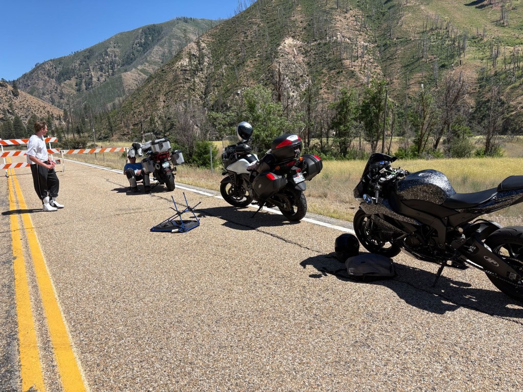
Donovan, our fellow stranded self-described, squid and my feeble shade structure

We met Donovan who rolled up after I had constructed a shade structure.  Since it was just after Father’s Day and Donovan was young enough to be my son (if I had a son in my mid 50’s),  I thought about my Dad and had one of those “Let’s compare our lives” conversations I often invented.  “So pops, what did you do when you were younger?”  He would say something like, “I survived the depression and WWII.”  I would reply, “I once built a shade structure.”  Feeble shade at that.

Donovan was a recent high school graduate from Boise who was headed to Stanley to join a group of friends for some summer fun at Redfish Lake  Since he had no plans to continue his education beyond graduation, he seemed excited to be heading towards and endless summer.

Donovan had just acquired his Kawasaki Ninja and his only protective gear was a helmet and the boots that came with the bike.  He was a nice kid and we shared lots of laughs about his being a jack Mormon, new to motorcycles, and the uncertainty of the friends he was ostensibly meeting at Redfish Lake, wearing nothing more than a tee shirt and sweatpants, boots and a helmet.  Fortunately for his sake, there would be no frost on our motos the next morning.

After several false starts over the next couple of hours as the crew doing the shoulder work one by one departed, a county Sheriff rolled through the roadblock.  He said he had ticked several impatient travelers who went around the roadblock.  That made sense.  It was a collaborative project involving county road maintenance and local law enforcement.  Maybe that’s how they paid for the road maintenance. It was likely the reason for the electronic message sign placement…

The last County Road Maintenance truck finally pulled up and retired the road blocks at precisely 5:00 pm.  From the preceding stream of worker’s vehicles, I’m sure they were done by 4:00 but the pickin’s for the Sheriff were too easy.   Donovan, SMAP, and I jumped on our bikes and headed up the road, only modestly in excess of the speed limit for we didn’t want to hold up the parade behind us, hoping there would be no automated message boards that we might miss before encountering another road block or a second Sheriff in waiting.  

Dropping down into the mountain pocket of Lowman, where in 1995 on that bicycle ramble mentioned earlier with that bunch of knuckleheads, there witnessed this shameful spectacle.
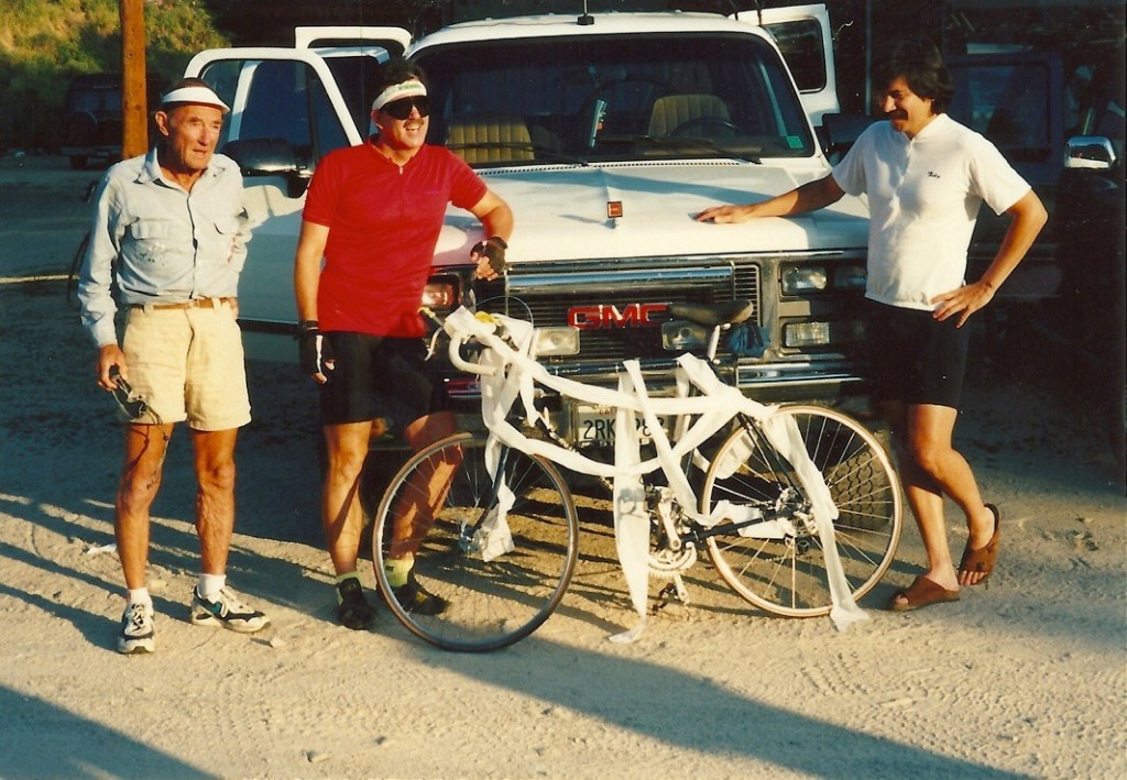
L to R, the perplexed investigator Don, Mike the victim, and Dale the violator

From Lowman, the route joins ID-21—the Ponderosa Pine Scenic Byway. This stunning road climbs deep into pure alpine wilderness, cresting the 7,056-foot Banner Summit before descending into the spectacular mountain basin of Stanley, where the jagged wall of the Sawtooth Mountains rises sharply behind the Mountain Village Resort.  We had lost contact with Donovan around Lowman, but saw him whip by as we were unpacking.  He must have stopped for fuel.  Hopefully not for a Sheriff.

The Rodeo Comes to Stanley
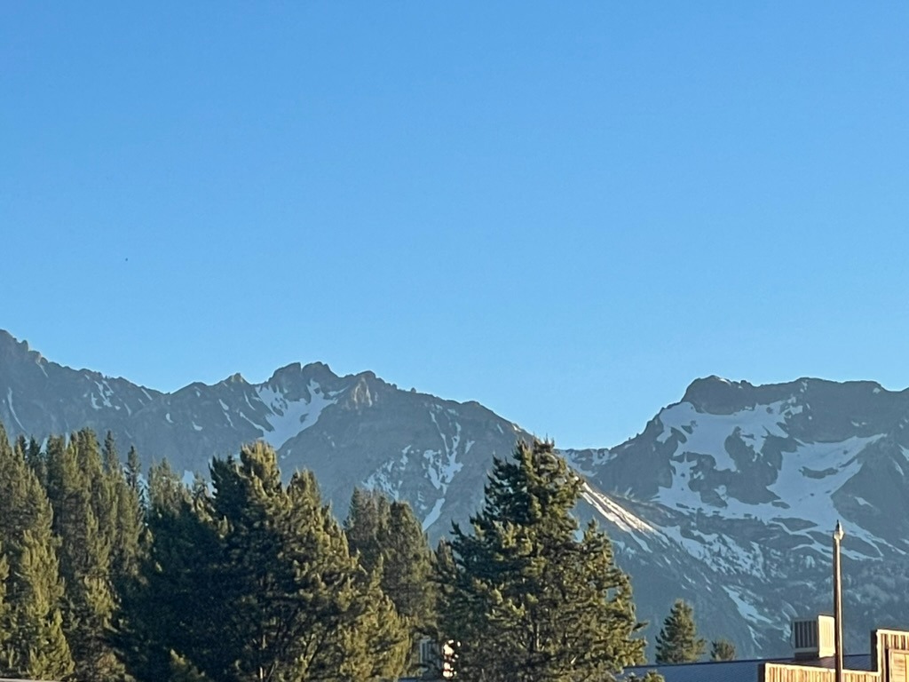
The Sawtooths (Sawteeth?)

Remembering the much more modest accommodations back in 1995 where the Knuckelheads spent the night stoked by the epic climb over Banner Summit and now inspired by a wee bit of California viticulture…

… it was rodeo time in Stanley, time to raise a glass to the past, and embrace the future.

Dino seemed to enjoy my spirited, back to the future arrival in Stanley 
Sadly, I departed with no buckle and my parents remain married in perpetuity
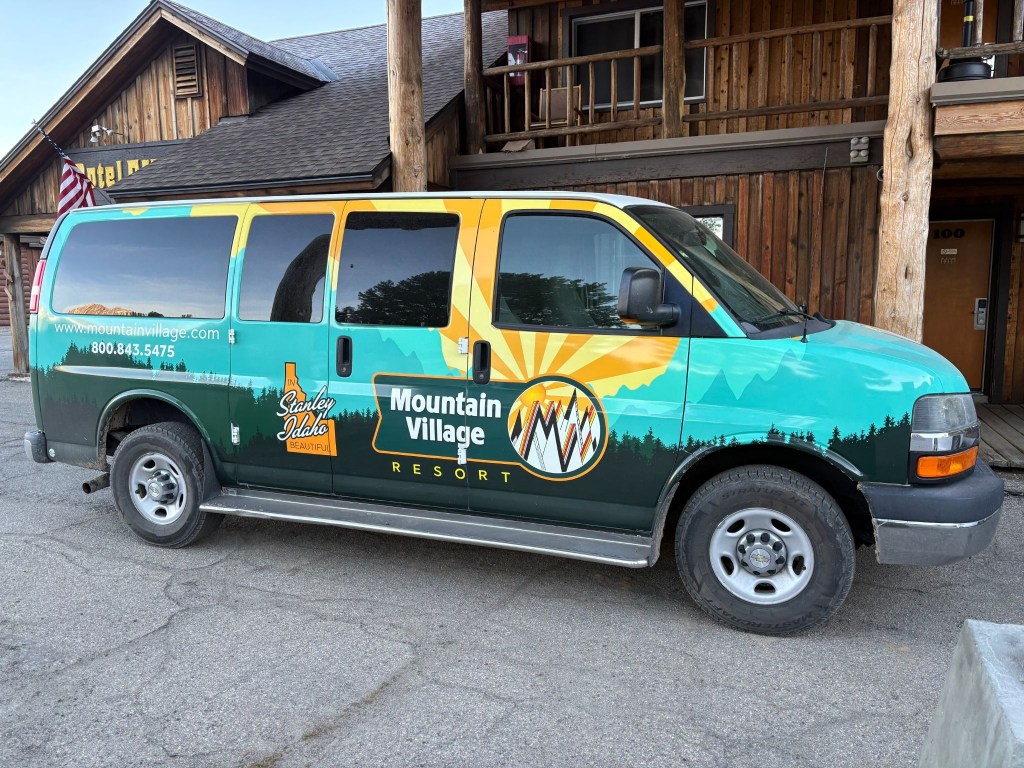
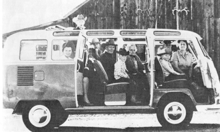
The Sawtooth Mountains in reality look nothing at all like their depiction on the van

The following morning was clear and coolish, not cold.  Several groups of motorcycles were traveling through Stanley mostly “adventure” types, with a smattering of Harley baaaaggggerrrrs.  Demographically, we pretty much fit the mold of the two-wheeled geezer “adventure” ramblers suited up in ATGATT resembling the Michelin Man.  Even the Harley guys had traded their leather vests for jackets. A couple with fringe.

The resort was also the launching point for multi-day raft tours of the Salmon River.  Given the volume of gear each rafter was hauling, I began to feel as though the additional 50 pounds of camping gear I could have brought wasn’t that much of a big deal.  Except it was.  

Day 4 – Thursday, June 18

Stanley, ID to Thayne, WY ~290 miles

ID-75 → Challis → US-93 → Arco → US-26 past the INL → US-20 → Idaho Falls → E-49 N → US-26 → along the Snake River and Palisades Reservoir → Alpine, WY → US-89 → Thayne, WY→ Swiss Mountain Motel and Lenny

The Salmon River Canyons to the Volcanic Desert

Our journey began on ID-75, carving northward through a dramatic, steep-sided canyon carved by the Salmon River. Several hot springs lie adjacent to the river.  The terrain here is highly vertical, defined by rocky cliffs and the towering peaks of the Salmon River Mountains. 
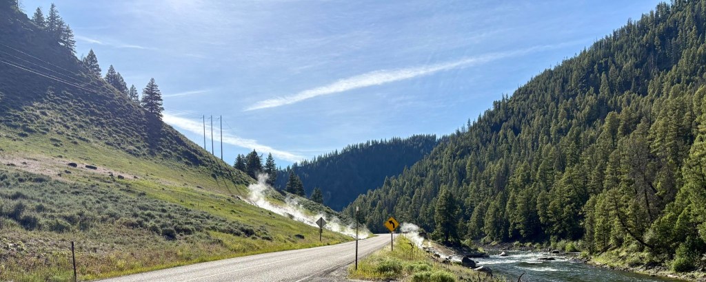
Sunbeam Hot Springs on the Salmon River
Salmon River Mountains and one of tens of thousands of acres of irrigated ag

As we reached Challis, the landscape began to fracture and turning southeast onto US-93, the narrow canyon abruptly opened into the sweeping, wide-open expanse of the Round Valley.  To your left and right, massive mountain walls hem you in, with Idaho’s highest peak, Mount Borah, dominating the eastern horizon.  Continuing south toward Arco, the rugged mountains begin to recede, flattening into the northern fringes of the Snake River Plain. 
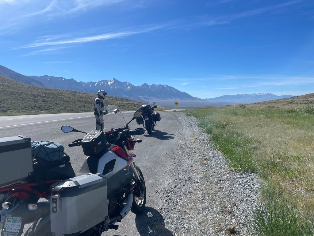
Willow Creek Summit with Mt. Borah in the background

Leaving Arco on US-26, the terrain transitions into an otherworldly, barren expanse as you roll directly past the Idaho National Laboratory (INL).  This segment is characterized by vast, flat sagebrush desert, underlain by ancient, black basalt lava flows that stretch out seamlessly toward the horizon.

What is now Idaho National Laboratory in southeastern Idaho began its life as a U.S. government artillery test range in the 1940s. Shortly after the Japanese attacked Pearl Harbor, the U.S. military needed a safe location for performing maintenance on the Navy’s most powerful turreted guns. The guns were brought in via rail to near Pocatello, Idaho, to be re-sleeved, rifled and tested.   As the Navy began to focus on post-World War II and Cold War threats, the types of projects worked on in the Idaho desert changed, too.  Perhaps the most well-known was the building of the prototype reactor for the world’s first nuclear-powered submarine, the USS Nautilus.  Form the kiosk display.
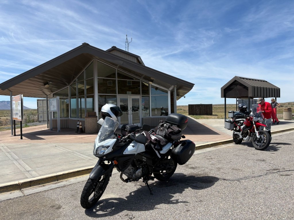
Idaho National Laboratory info kiosk, lavatory, and layer removal station
The perfect place to develop nuclear submarines

The Upper Snake River Plain

As US-26 merges into US-20, the road carried us straight into Idaho Falls, a bustling urban hub built over the roaring-ish waters of the Snake River.  Leaving the city, we transitioned onto E-49 N (locally known as the Bone Road or Hitchen Cemetery Road), rolling momentarily into rolling, agricultural benchlands.  These irrigated, high-elevation farmlands feature sweeping fields of grain and potatoes and an occasional antelope, undulating gently before dropping us back down to meet US-26 East.

The Caribou Mountains and Snake River Canyon

Heading east, the terrain transforms dramatically.  The flat plains vanish as US-26 enters the Snake River Canyon, tracking the path of the river as it cuts through the heavily forested Caribou Mountains.  By the way, we saw no caribou. The road huged the contours of the canyon floor, squeezed between rushing water and steep, pine-covered slopes.  Soon, the river widened and calmed, opening up into the spectacular Palisades Reservoir. For several miles, we rolled along a shelf carved into the mountainside, looking out over a massive, deep-blue body of water framed by timbered ridges.
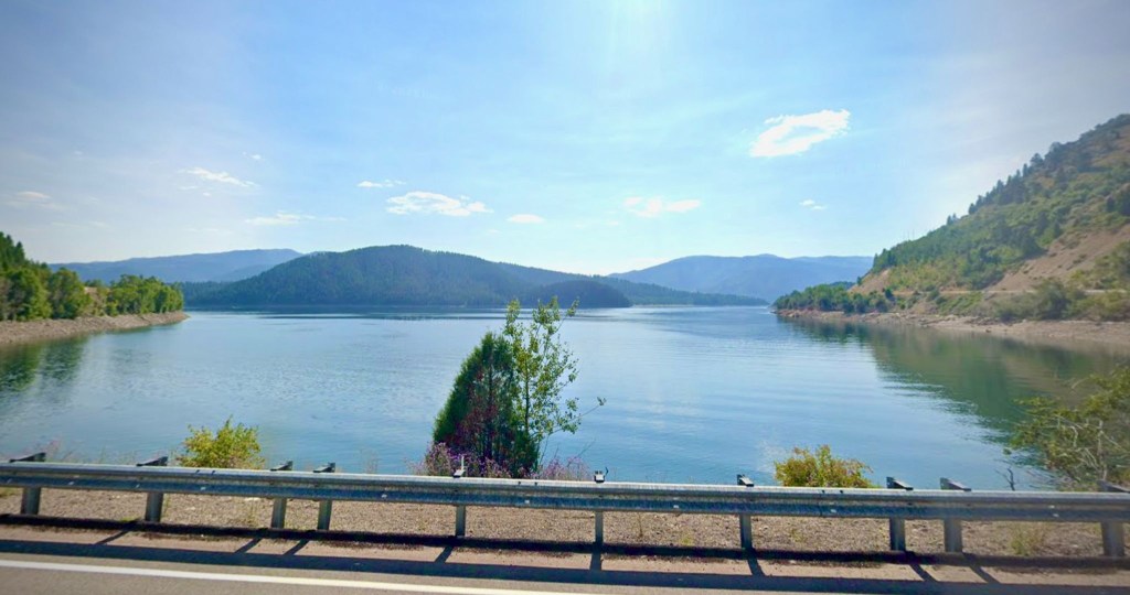
The Palisades Reservoir along the Snake River looking south  from US-26

The Star Valley Descent

At the southern tip of the reservoir, we crossed the state line into Alpine, Wyoming, where the Snake, Greys, and Salt rivers all converge.  Picking up US-89 South, the canyon walls fall away entirely, revealing the pristine alpine floor of the Star Valley.  Known historically as “Little Switzerland” due to its lush green summer pastures and dairy farming heritage, the valley floor is wide, flat, and remarkably pastoral.
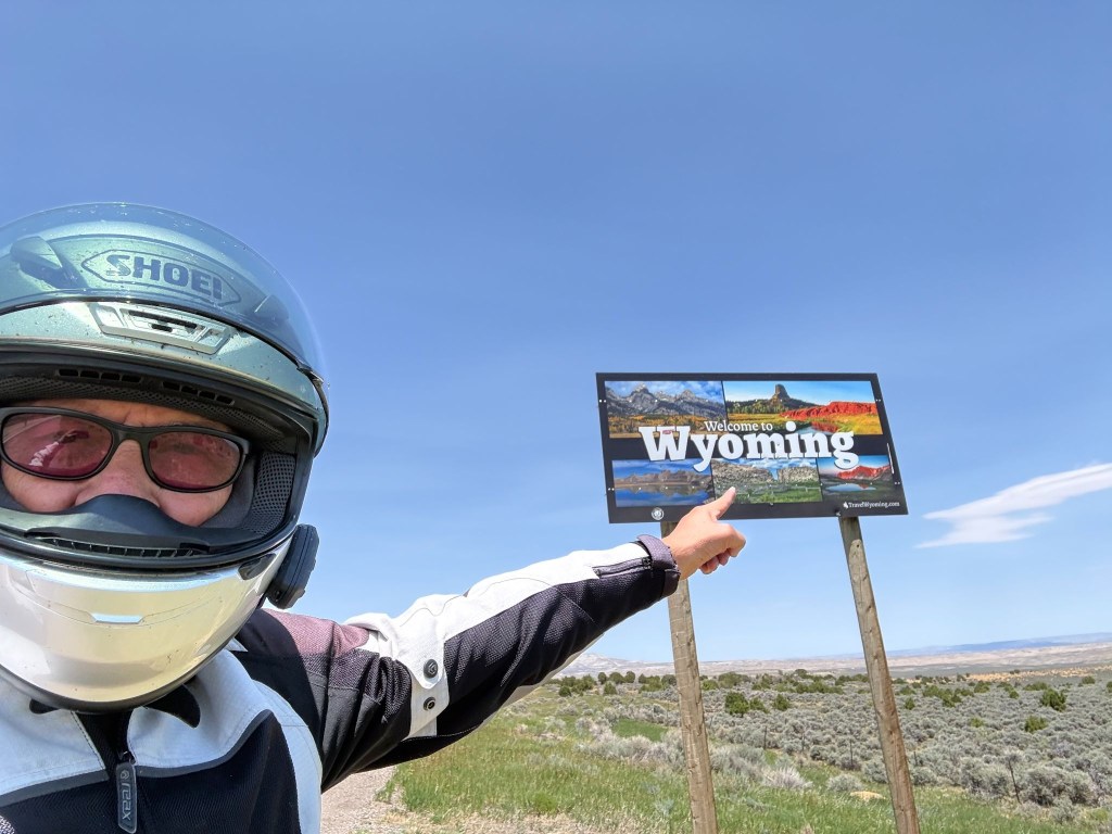
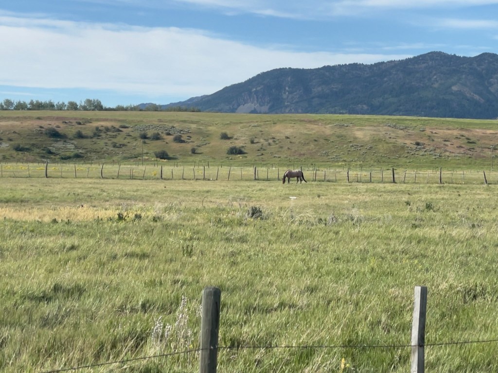
SMAP pointing out the obvious
Thayne, WY, aka Little Switzerland

We cruised south along the vibrant valley floor, flanked symmetrically by the dramatic crest of the Salt River Range to the east and the Caribou Range to the west. The terrain remained a smooth, scenic flatland all the way into the quiet town of Thayne.  On the north side of town, set against the backdrop of these towering green mountains, day four concluded at the vintage, ground-floor property of Lenny’s, Swiss Mountain Motel.

Our original plan was to stay in Jackson, WY that night. After contacting eleven motels in a 50 mile radius of Jackson, none of which had an available room, it was recommended that we try the Swiss Mountain in Thayne. “Remember that sometimes not getting what you want is a wonderful stroke of luck.” ~ Dalai Lama.
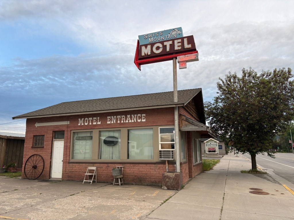
No Vacancy at the Swiss Mountain Motel in Thayne, WY, population 389

We’ve learned, having rambled through two dozen of these adventures, that the landscapes speak deeply to our appreciation of the natural beauty of the West — but it is invariably the folks we meet along the way who resonate long after the mountains, rivers, plains, and forests have blurred into one.  
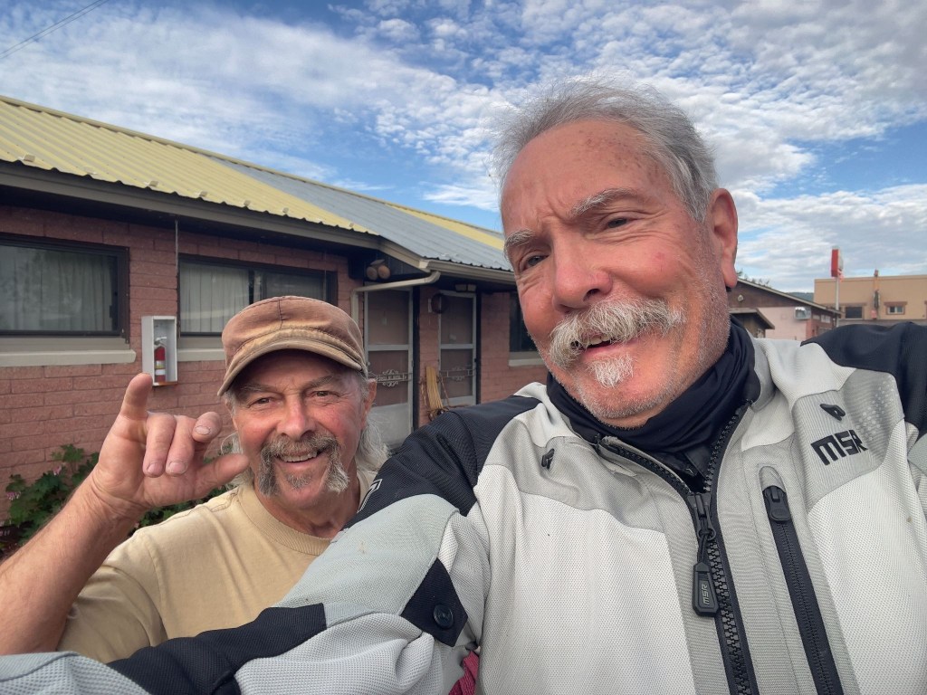
Lenny and Sisyphus neither of whom know where the lens is on the phone

The owner and operator of the Swiss Mountain Motel is Len Roman.  He originally purchased the vintage property in 1995 with his late wife, Cindy.  Following her passing in 2019, Len has continued to run the day-to-day operations. He’s the room servicing maid, the front desk attendant, gardener, and general maintenance man.   It’s a one man show. Unlike Ming, he didn’t retreat to the laundromat when I attempted humor.

He frequently interacts directly with guests as the primary host and property manager.  Lenny, as we came to know him, was a fellow biker.  Short in stature, tall in opinion, large in generosity, and plentifully, yet cordially sarcastic, Lenny is my kind of motellier. 
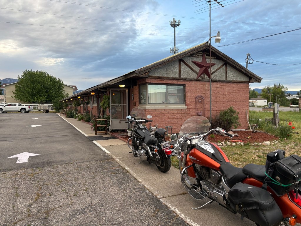
Lenny’s pride and joy, a Honda VTX and a Harley V-Rod low rider, and the Swiss Mountain Motel

Besides being an affable host, Lenny had something of a snarky vein too.  Not much slack was cut for the pretension of a Moto Guzzi.  After losing the ATGATT and donning my yellow plaid button up shirt and khaki shorts, Len stops me and points north saying, “That’s the way to the golf course…”   I later convinced him of my authenticity as a khaki shorted moto-rambler, in a yellow plaid button up shirt, beer drinker by lifting my pinky as I brought the can to my lips.  
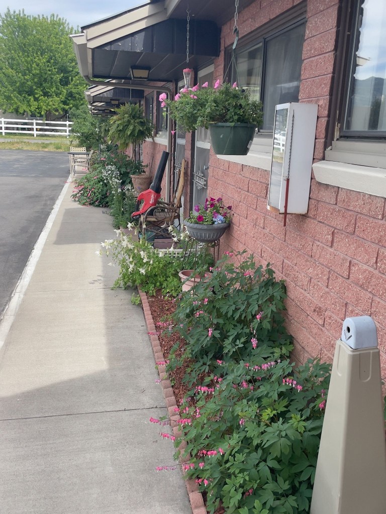
Lenny’s Swiss Mountain Gardens

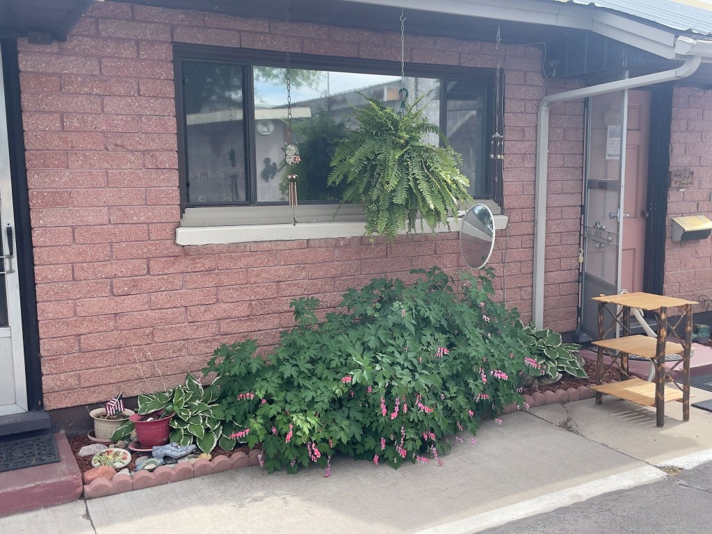
Lenny is also something of a collector on the verge of being a hoarder.  He operates The Salt River Trading Post as he tends to his motel garden of bleeding hearts, petunias, hostas, and columbine with obvious care, then runs a floor-to-ceiling emporium of organized chaos open by appointment only.  The garden says curator.  The Trading Post says accumulator. Lenny himself seems somewhere in between.  
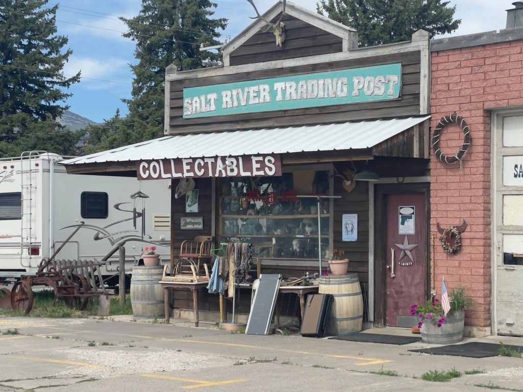
One man’s collectables is another man’s objets d’art

In researching background, I found a scathing review of the Trading Post that was posted on the local Chamber of Commerce website back in 2022:  

So junky most items cannot be easily seen or viewed. The owner does not deal on prices at all even though by his own admission he’s not been open due to family illness.  His things are overpriced for condition and he talks to customers like they know nothing even when it is clear from conversation that they do. Take home-junky overpriced and impossible to navigate to see anything.  Stop to look but don’t expect decent prices.  He’s selling to tourists.

The Chamber review was written by someone who, besides having grammar issues, wanted to buy something and couldn’t, or wouldn’t at Lenny’s price. That’s a transaction that failed. Their Lenny is a difficult vendor with inflated prices and a chaotic inventory.   Every complaint is probably accurate.  I personally found the collection to be worthy of awe.  Now my wife would have made some disparaging comparison to our garage.  IMHO, ours is a garage filled with objets d’art.

Our Lenny is someone we weren’t trying to buy anything from.  We were just two road-worn bikers who passed the pinky test and got the private tour. That Lenny — the one who tends bleeding hearts outside every room door, who knows exactly where the 1957 Hamm’s Beer sign is buried under the Roy Rogers lunch pails and the taxidermied badger and changes sheets and towels — that Lenny is a genuine eccentric, not a shyster.

A hoarder thinks everything is precious; a collector knows why everything is precious.  Lenny sounds to me like the latter.  It takes one to know one, eh?  He talks to customers like they know nothing because, in his estimation, they usually don’t — and he’s probably right about his inventory if wrong about his bedside manner.  (I hope my wife doesn’t read this…)
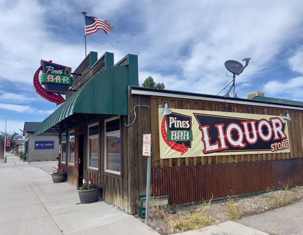
Wyoming has interesting rules regarding 3R’s beverages

The Pines Bar is the only place in Thayne that one could procure 3R’s beverages that could be taken out.  So, we sampled the merchandise before entering the beer cave to procure our rehydration, relaxation, and reflection selection for the evening.

😋

The barkeep, Liz, upon learning we were staying at the Swiss Mountain, asked us to remind Lenny that he needed to come by and get a smoothie (upper right above).  In fact she then asked if we would take him one, on the house.  That tells you a lot about the good folks in Thayne, looking after one another.  We dropped off the smoothie and Lenny, in fine curmudgeonly fashion, expressed his gratitude by complaining that it wasn’t his favorite berry, but coconut… 

Both Liz and Lenny recommended Dad’s Bar and Steakhouse for dinner, right across US-89 from the motel.  Each recommended getting in early as the place fills up pretty quickly around the dinner hour.  
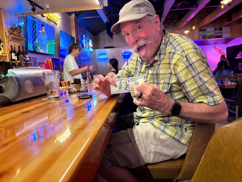
Khaki shorts, yellow plaid shirt, and Big Buddy Ben

SMAP had a burger and I had a Lil’ Buddy prime rib sammy from the bar menu.  Even though I was flashing a Benjamin, we opted for the modestly priced bar menu rather than the full on steakhouse menu.  One doesn’t exactly burn a full measure of calories sitting on a motorcycle all day.  Dad’s bar menu was also recommended by Lenny.  

Our dinner mates at the bar were a fellow and his wife who had sold their property in Sonoma, CA, purchased a large motorhome and trailered their Kawasexy Vulcan bagger around using it to visit sites of interest in the vicinity of their chosen RV park for the day, week, or month.  They too had chosen Thayne rather than Jackson for reasons similar to ours. 
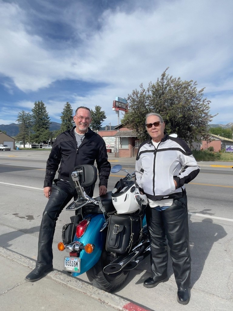
Nomads on a Kawasexy Vulcan

Back at the Swiss Mountain après dinner garden gathering we enjoyed trading stories of our travels in the company of a couple from the Midwest who had checked in to the Swiss Mountain on their way to National Park points north.  Around the Swiss there were always chores to be done.  Lenny was mowing the lawn. 

A group of six or so young men piled out of a car, one of whom mistakenly entered our room thinking it was his.  His friends berated him and apologized profusely.  I suggested a $20 fine, citing obscure Wyoming trespass law.  They hastily made their way to their actual room next to ours. A pickup pulled into the lot towing a commercial dog trailer.  Seems that in Afton, down the road, a big herding trials competition was happening and this Wisconsin couple, though not competing, had brought beautiful border collies, perhaps to watch and learn. They are smart K-9’s. Probably bored watching K-9 trial YouTube videos.   

As the sun was setting, Lenny joined us having finished his yard work.  The conversation began to warp a bit as Lenny described his conspiracy mindedness.  Once again evidence of the pervasiveness of doing one’s own research on the internet. It was mostly innocent and those of us less inclined to subscribe to some of his notions, in good cheer, listened respectfully, suppressing our scepticism, only allowing for an occasional chuckle so’s not to offend.  Indeed, there was no vacancy at the Swiss Mountain Motel.   
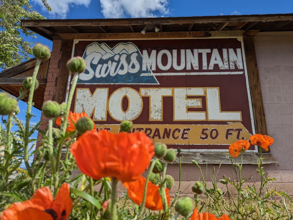
Wait, just what kind of poppies is Lenny growing?  Could that be the source of his conspiracy mindedness?  Tee, hee…

Day 5 – Friday, June 19 

Thayne, WY to Vernal, UT ~263 Miles

WY-89 → Smoot → Geneva → US-30 → Cokeville → Diamondville → US-189 → WY-412 Carter Cutoff Rd → WY-414 at I-80 → Mountain View, WY → Lonetree → Wyoming/Utah border and UT-43 → Manilla, UT →  UT-44 → US-191 S Flaming Gorge All-American Road → UT-44 Red Canyon → US-191/US-40 → US-6 Price Canyon → Patriot Stay Motel

The route from Thayne to Vernal wasn’t complicated.  Since my phone was virtually useless as anything but a phone with text, both important functions to keep my wife posted of our location and well-being, and then only intermittently, with no functional navigation or internet search.  I won’t get into SMAP’s use of maps.  He’s an Apple Maps guy.  I’m a Google Maps guy.  It’s like he’s a Dodgers fan and I’m a Giants fan. 

Full disclosure:  I’ve reconstructed the following, as most of the preceding, from memory and our photos and have post-trip internet capability to check the maps and routes I’ve noted for accuracy.  Yes, I did my own research and it is factually accurate. SMAP is my fact checker. So much for the Giant-Dodger rivalry.

The Mountain Valleys & High Deserts (WY-89 to Diamondville)

Our journey began on WY-89, winding through the Star Valley—a green, high-altitude alpine haven hemmed in by the Salt River Range. Passing through the quiet community of Smoot, the road climbed and dipped past pine forests and rolling pastures. As we crossed the state line near Geneva, Idaho, and headed east onto US-30, the scenery began to dry out.  The lush valley gradients slowly gave way to the rugged, sagebrush-speckled hills of Cokeville.  Following the path of the old Oregon Trail, the terrain stretched into wide-open Wyoming ranch land, flattening into a vast, high-desert plateau of stark beauty as we approached the historic coal-mining town of Diamondville.
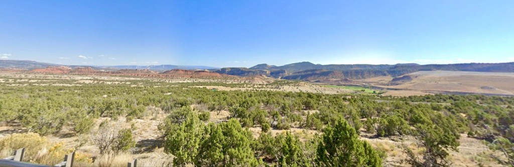
Open Pit coal mine tucked away near Diamondville (courtesy of Google Maps street capture)

The Sagebrush Steppe & Badlands (US-189 to Manila)

Turning south on US-189 and cutting across WY-412 (Carter Cutoff Road), we entered an isolated, wind-swept landscape. This is classic Wyoming basin country:  wide horizons, oil rigs, and rolling hills blanketed in low brush.  At I-80, we picked up WY-414, heading south toward Mountain View and Lonetree.  Here, the flat plains began to ripple. Striated badlands and red-dirt bluffs peeked out from the soil, signaling our approach to the Uinta Mountains. Crossing the Wyoming/Utah border onto UT-43, the expansive ranching country dropped down into the small, oasis-like valley town of Manila, Utah.
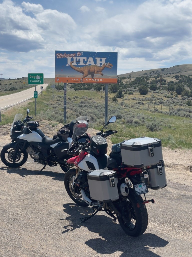
Yes, those would be bullet holes in the “life elevated” sign

The Flaming Gorge & High Uintas (UT-44 to Red Canyon)

Leaving Manila on UT-44, the landscape shifted dramatically as we climbed into the Ashley National Forest, now on the US-191 Flaming Gorge All-American Road, surrounded by thick stands of ponderosa pine and Douglas fir.  The climax of this stretch is Red Canyon.  The forest suddenly dropped away into dizzying, vertical cliffs of vibrant, fiery-red quartzite. Below, the deep green waters of the Green River and Lake Flaming Gorge snake through the bottom of the chasm, creating one of the most stunning color contrasts in the American West.

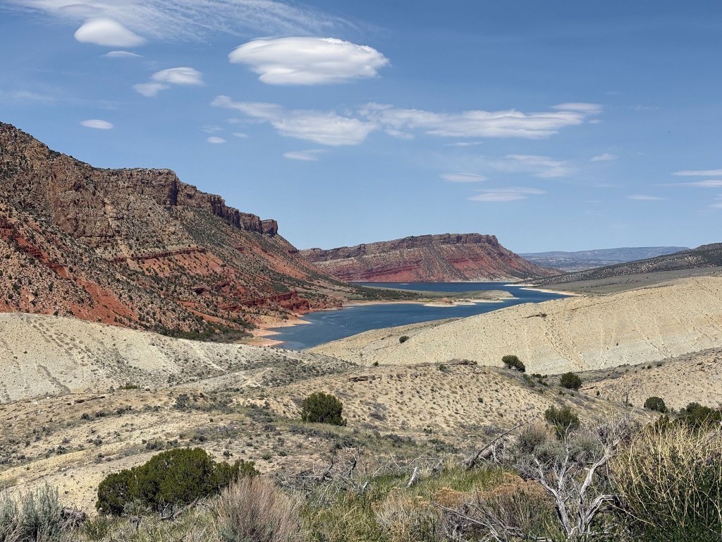
Red Canyon
Lake Flaming Gorge, blue and not green like the river or red like the canyon
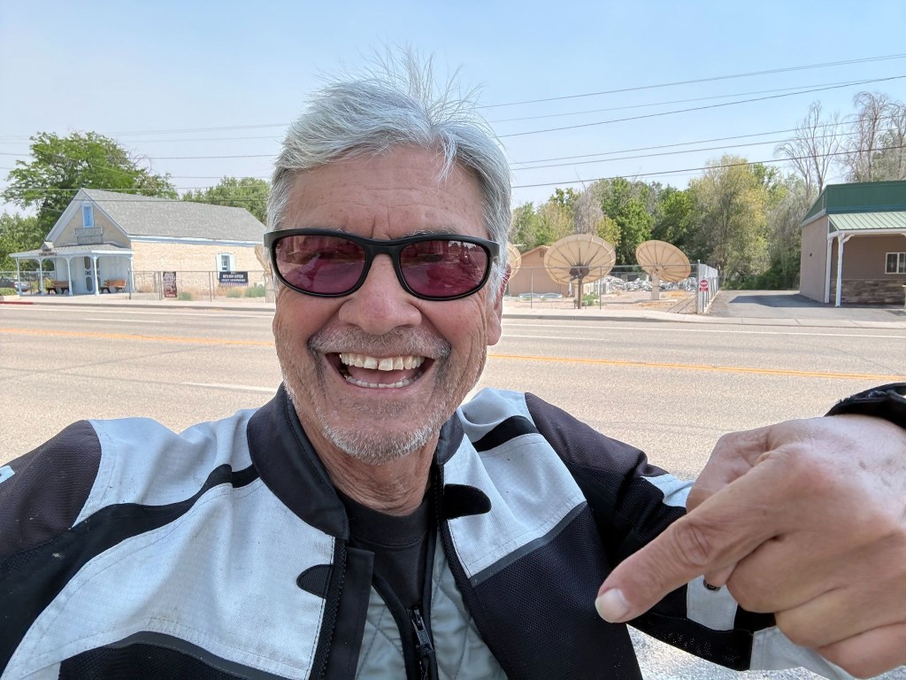
SMAP posing bullet free (and not pointing at the obvious)

The Uintah Basin to the Desert Canyons (US-191/US-40 to Price Canyon)

Descending the southern slopes of the Uintas, the pines vanished, and we spilled into the arid Uintah Basin.  Traveling the shared stretch of US-191 and US-40, the landscape turned into a sun-baked desert of exposed sandstone and gray shale hills.  
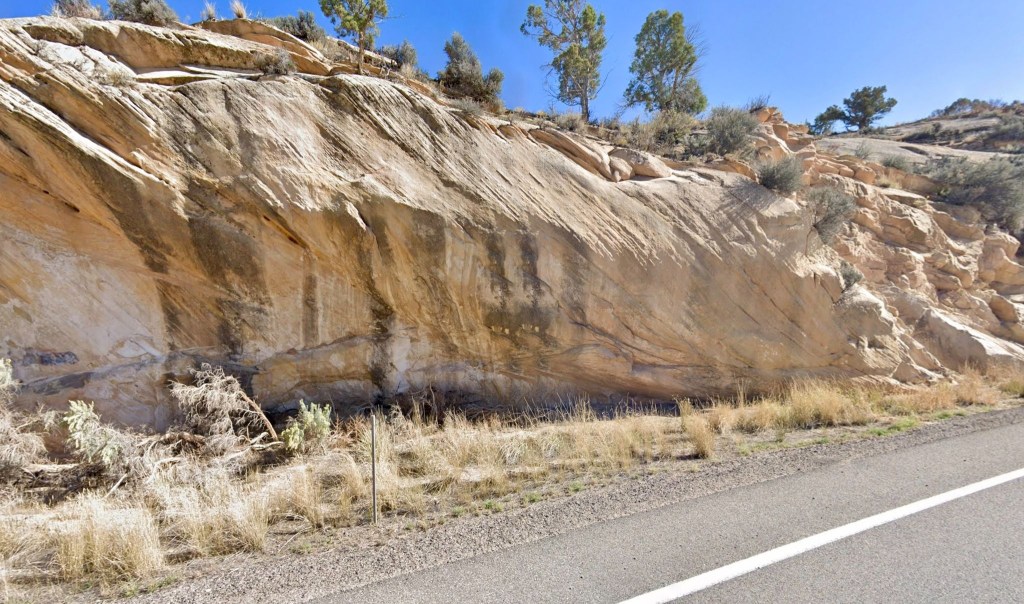
Sun-baked sandstone road cut on US-40

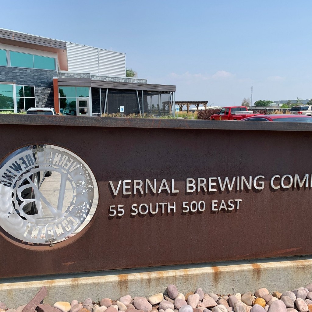
On to Vernal, the first leg of our Utah ramble looped back into the heart of the Uintah Basin, concluding on the historic Main Street of Vernal at the Patriot Stay Motel. This family-owned property features a distinct patriotic theme and puts you just steps away from the heart of the Right Petunia Triangle of the Patriot Stay Motel, the Utah Field House of Natural History State Park Museum, and the Vernal Brewing Company.
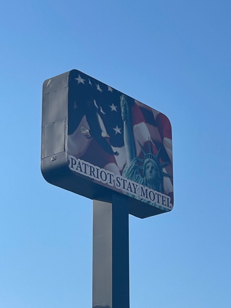
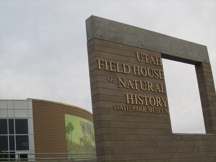
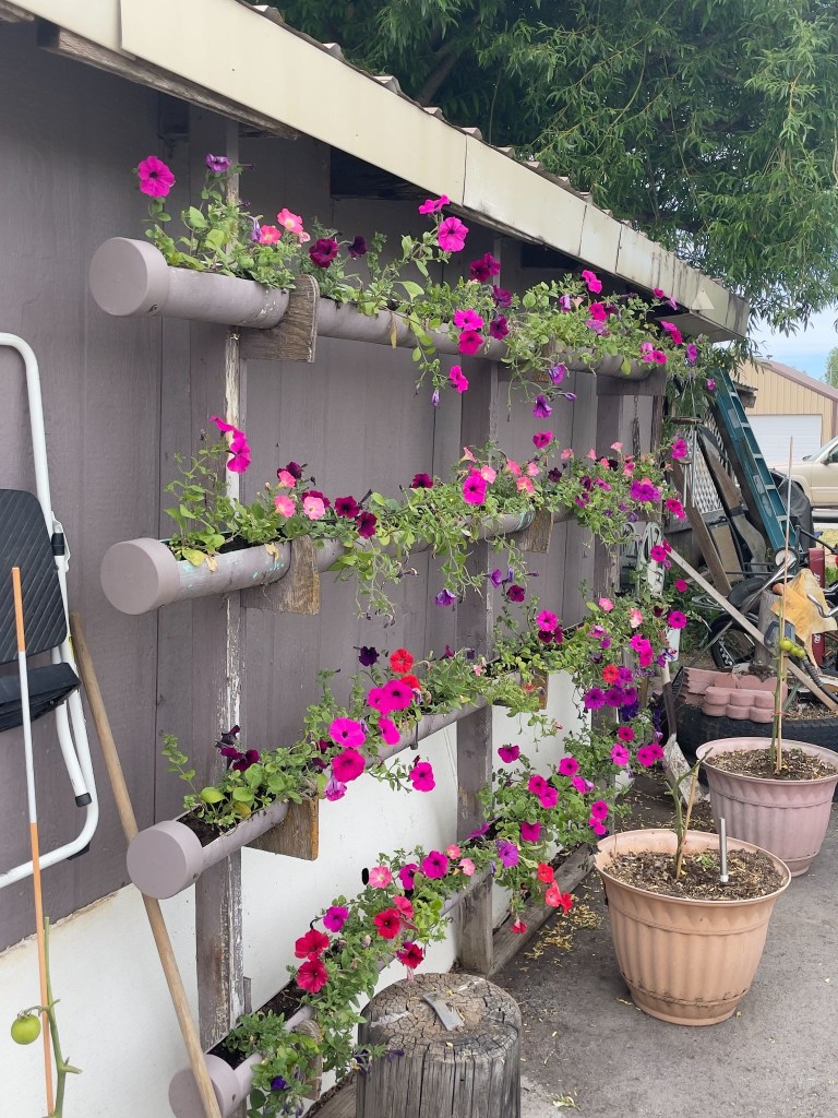
The Patriot Motel, located in one of the vertices of the right Patriotic Petunia triangle of Vernal, Utah
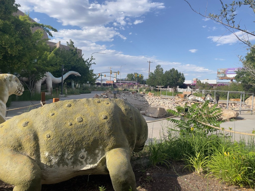
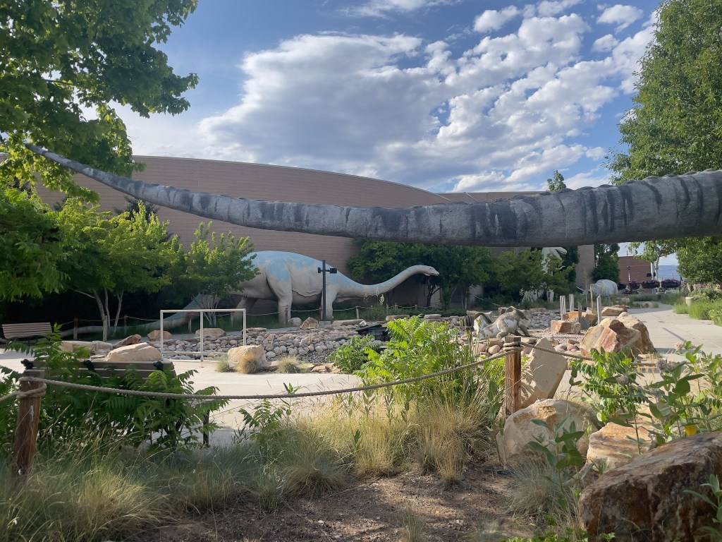
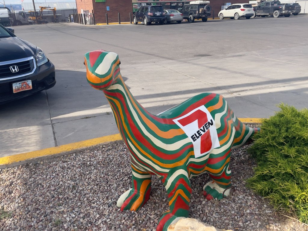
With a side of what many Utahns believe to be antediluvian critters, some brightly painted

The folks who market Utah’s natural history have definitely done the deep dino dive.  Utah is deeply, single-mindedly obsessed with dinosaurs, treats them like local celebrities, and practically makes them the state’s entire personality. It is the only place where you can drive down a highway, spot a massive fiberglass Triceratops, and not even blink because you just passed three others outside a gas station. 

The state boasts the highest concentration of Jurassic bones in the country, and locals treat these ancient fossils less like scientific anomalies and more like treasured family members. In fact, Utah loved dinosaurs so much they designated the Allosaurus as the official state fossil, because apparently, having a state bird just felt too mainstream. 

From roadside dino parks with roaring animatronics to actual towns named “Dinosaur,” the state’s prehistoric fixation proves that while the beasts may have gone extinct millions of years ago, Utah is doing everything in its power to keep the spark alive.  

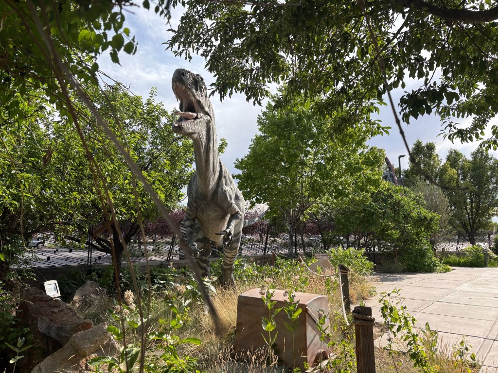
Here are the more evidence-based recreations of these spectacular beasts…
And those the Chamber of Commerce distributes about town…
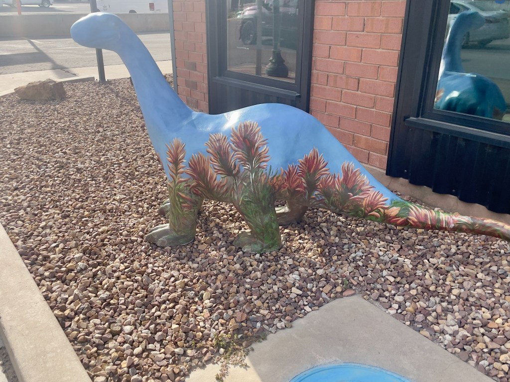
Dinosaurs have NIL contracts?

Apparently the rodeo was happening on our Vernal day through the weekend.  We opted for procuring nourishment, a beet salad with chicken for moi and a salmon salad for SMAP at the Vernal Brewing Company, across from our motel, and a return trip across US-191, the Main Street, to the 7-11 for 3R’s beverages thus completing the Patriotic Petunia Triangle of Vernal, Utah.  Since the Stanley Rodeo was a bust I wasn’t going to take any chances in Vernal.
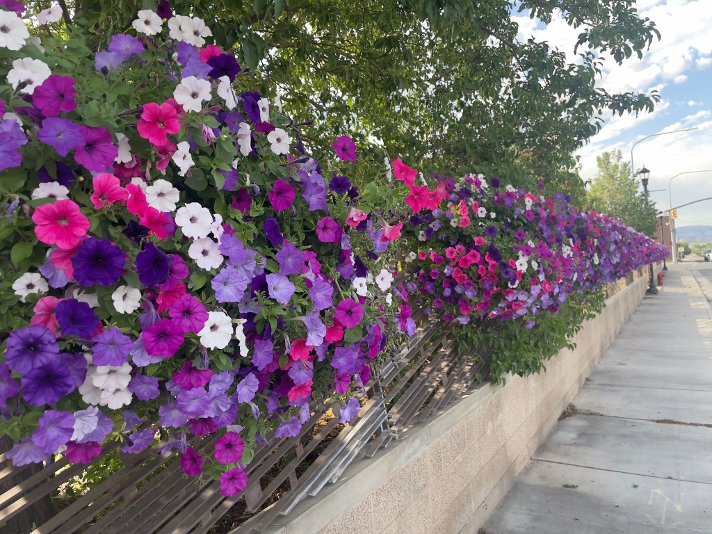
Patriotic petunias and dinosaurs… Jurassic Park could have avoided the mess with petunia power

The Sisyphean Ramble Planning Criteria (SRPC) gave the Patriot Motel a three of five star rating. The air conditioning, luxurious towels, and proximity to mangia e bevi and the Utah Field House of Natural History State Park didn’t quite live up to the gold standard of motels, the Y in Chama. Because it wasn’t raining, there were point deductions. The parking lot cancelled the rain deduction. Hence, a 3 out of 5 star rating. It’s a complicated system.
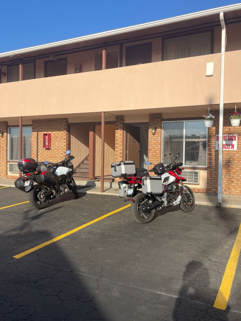
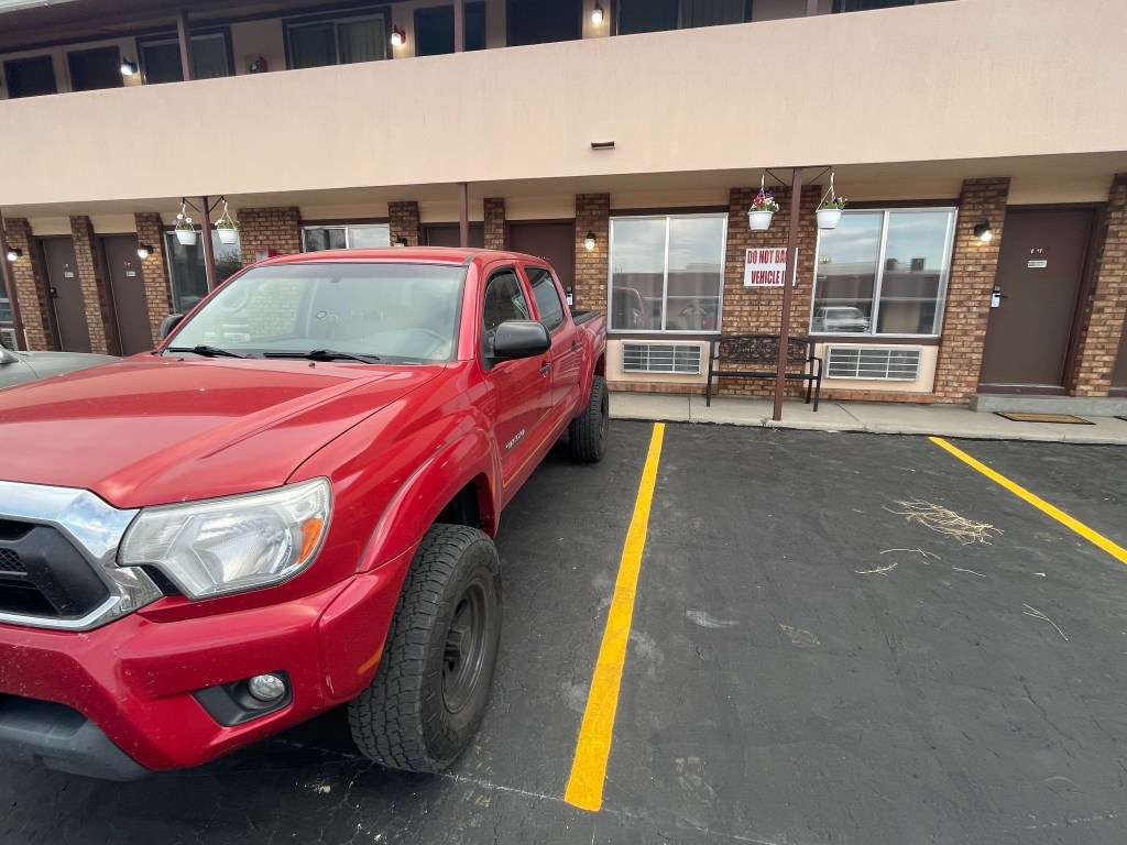
Note the sign on the wall in the parking lot
We assumed it meant for each parking spot

Day 6 – Saturday 6/20    

 Vernal, UT to Torrey, UT ~280 mi 

US-191 → Ft. Duchesne → Duchesne → Castle Gate → Price → UT-10 → under I-70 → UT-72 → Fremont → UT-24 → Lyman → Torrey → Rim Rock Inn

The Uinta Basin and Energy Corridor (Vernal to Duchesne)

The journey on Day 6 began in Vernal, a green valley oasis, somewhat less green because of persistent drought, famous for its dinosaur history. Leaving town heading west on US-40, the landscape opens up into the vast, arid expanse of the Uinta Basin. To your right, the distant, pine-covered peaks of the Uinta Mountains rise along the horizon. 

We passed through Fort Duchesne, the tribal headquarters of the Ute Indian Tribe, marked by sprawling ranch lands and cottonwood trees along the Whiterocks River.  By now the digital (Google Maps/Apple iPhone) navigation was completely kaput.  Taking out the paper map (California State Automobile Association) we made a slight error in taking the road to Ouray.  It would have been one of those serendipitous errors had we gone on to Ouray.  Just northeast of the community lies the Ouray National Wildlife Refuge, an oasis established in 1960 that covers nearly 12,000 acres along the Green River.
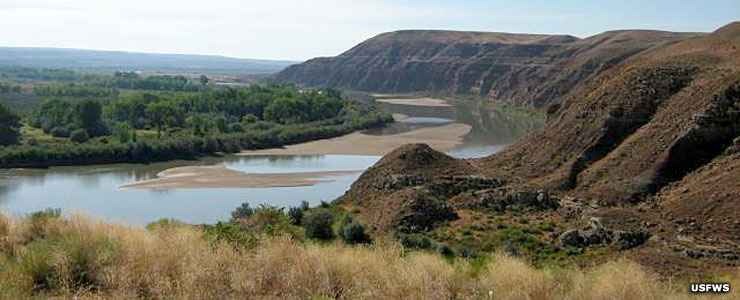
Ouray, Utah (photo courtesy of USFWS)

Once we discovered we were headed away from Torrey, after a quick CSAA map check discovering that the turn we wanted was down the road a bit further at Duchesne (without the Fort prefix), we continued west as the highway cut through rolling clay hills and oil-field country until we reached Duchesne, a quiet river town sitting at the junction of the Strawberry and Duchesne rivers. With no fort.  

Through the Canyons to Coal Country (Duchesne to Price)

From Duchesne, we turned south onto US-191, beginning a steady climb out of the basin. It was here that the magnetic clasp on my tank bag let loose and that was that for the paper map.  It went flying off to the side of the road.  At that point, it was fate that we would navigate from fading memories and road signs.  Until SMAP purchased a map in Torrey. Maps, once prolific in gas stations, have conceded to the digital world.

The road wound through Indian Canyon, where Sagebrush flats gave way to juniper trees and eventually thick groves of aspen and pine as we crested the summit. Descending the southern slope, the canyon narrows significantly. We emerged at Castle Gate, named after the famous, towering rock formation that resembles a medieval fortress guarding the canyon mouth. Turning onto US-6, you enter the rugged Price River Valley and arrive in Price, a historic mining and railroad hub dominated by dramatic, book-cliff mesas.
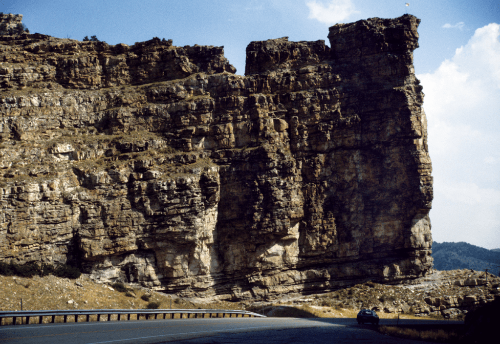
Castle Gate in Price River Canyon composed of the Castlegate Sandstone of the Cretaceous Mesaverde Group ( Photo courtesy of Utah Geological Survey)

Over the Volcanic Plateaus (Price to Fremont)

Heading south from Price on UT-10, we traveled through the Castle Valley corridor. To our right, the massive, flat-topped wall of the Wasatch Plateau kept us company for miles. We passed quiet farming communities like Huntington and Castle Dale.  

As I was turning onto the I-70 on-ramp our hunch to make it to Torrey based on SMAP’s Apple Map, he urgently demanded I STOP! over the comms.  He then investigated an underpass eventually diving south under the concrete spans of I-70 near Fremont Junction.  Again, comms compromised by the concrete underpass, he’s shouting for me to STOP, STOP!  I was stopped.  Against my better judgement, I made a quick U-turn going in the wrong direction off the on ramp.

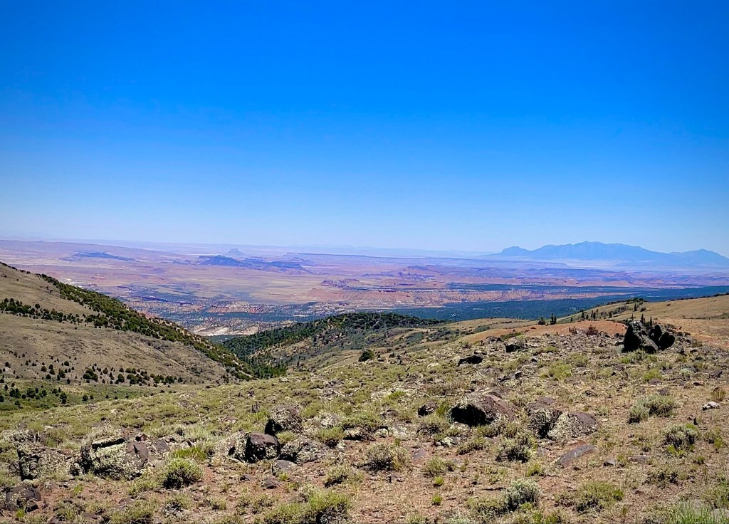
I then joined SMAP on the route that transitions to UT-72 and ascends the high, windswept expanse of the Wasatch Plateau. This section is a dramatic wonderland of alpine meadows, deep forests, and black volcanic boulders, offering expansive views of the San Rafael Swell to the east before dropping gently down into the high valley town of Fremont.
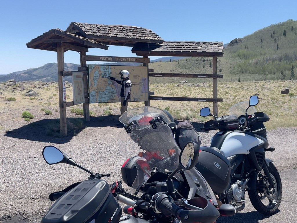
Old school navigation
San Rafael Swell from Hogan Pass

Into the Red Rock Country (Fremont to Rim Rock Inn) 

From Fremont, a short roll connects you to UT-24, where the scenery changes instantly. The green mountain pastures vanish, replaced by irrigated fields and the brilliant, sun-baked red dirt and white sandstone of Wayne County. We passed through Lyman, a peaceful valley community where on the last Knucklehead bicycle ride in 2015 we had breakfast before tackling the road up to Hogan Pass.  

We followed the Fremont River as it carves its way toward the spectacular Waterpocket Fold. The road leads into Torrey, a tree-lined gateway town shaded by massive historic cottonwoods.  Just east of Torrey, sitting high on a panoramic plateau with unobstructed, jaw-dropping views of the towering red cliffs of Capitol Reef National Park, our journey concluded for the sixth day at the Rim Rock Inn.
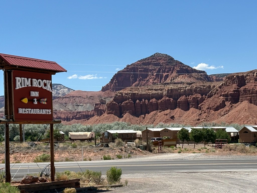
The Rim Rock, near the entrance to Capitol Reef  

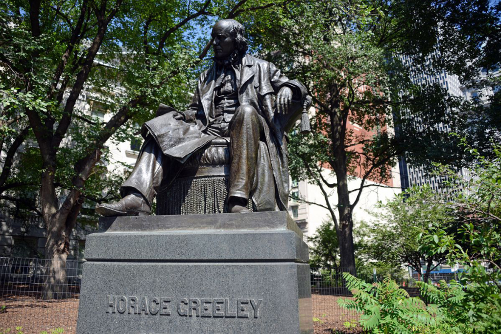
The arrow on the sign points to the Rim Rock Inn.  The buildings pictured in the background, given the conestoga wagons, must be a Latter Day Saint pioneer dormitory.  “Go West young man and grow with your country!”  Wait, that was Horace Greely and not Brigham Young who famously said, “This is the right place, drive on” about the Salt Lake Valley.  
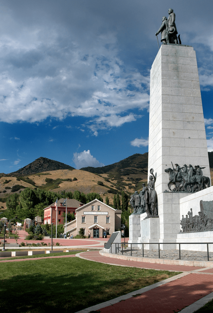
There seems to be something of a “reverence gap”

After checking in, we ambled down to the Rim Rock Patio for a well-earned whistle wetter—cold, crisp, and exactly what seven hours of Utah highway demanded.  From there, a quick errand into Torrey for the 3R provisions, before we drifted back to the Patio and let a wood-fired pizza seal the day.  Following the tip Lenny gave us in Thayne, we opted for the “bar” menu of the Patio pub, a decidedly less formal restaurant than the fancy steakhouse attached to the motel.
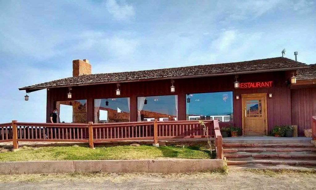
Fine dining in Torrey

The servers were as spicy as the pizza.  Well, as spicy as Utah pepperoni permits.  Maybe that’s what’s meant by SPAShetti Western Cafe.
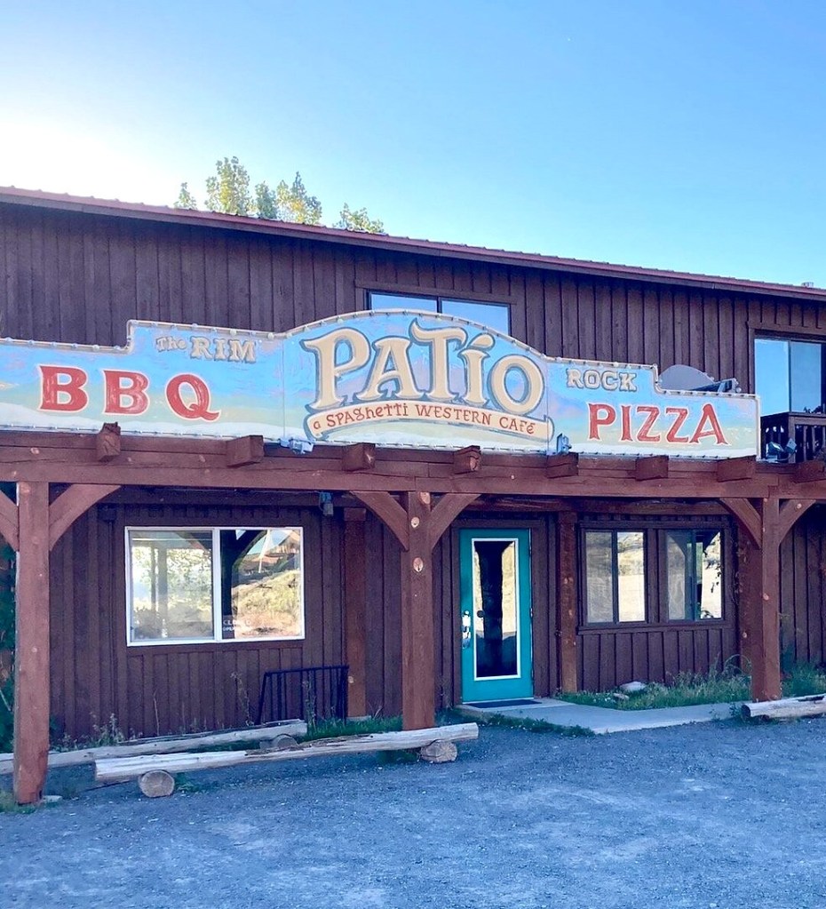
Dining just fine in Torrey

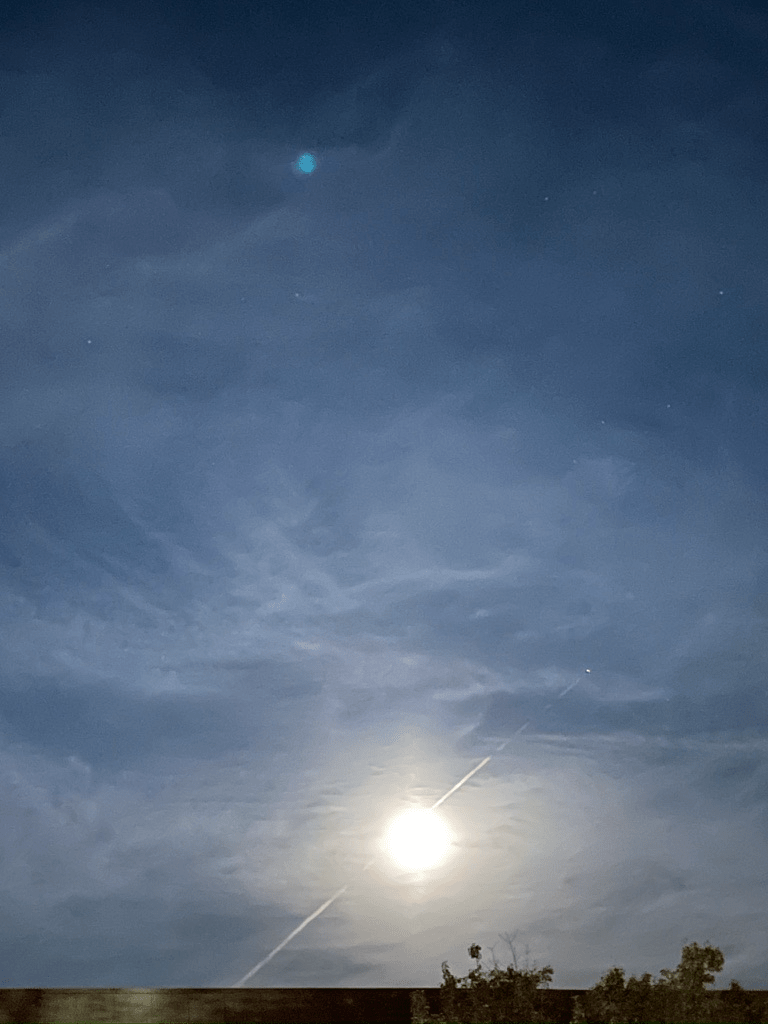
The evening turned into one of those rides-within-the-ride: red rock fading to purple-is alpenglow, then black, while we nursed our refreshments and let the desert sky do the rest.  A waxing crescent moon hung low and thin, with Venus, Saturn, and Jupiter keeping quiet company beside it—the kind of sunset that makes us glad we stopped riding when we did.  We still couldn’t see Mercury.

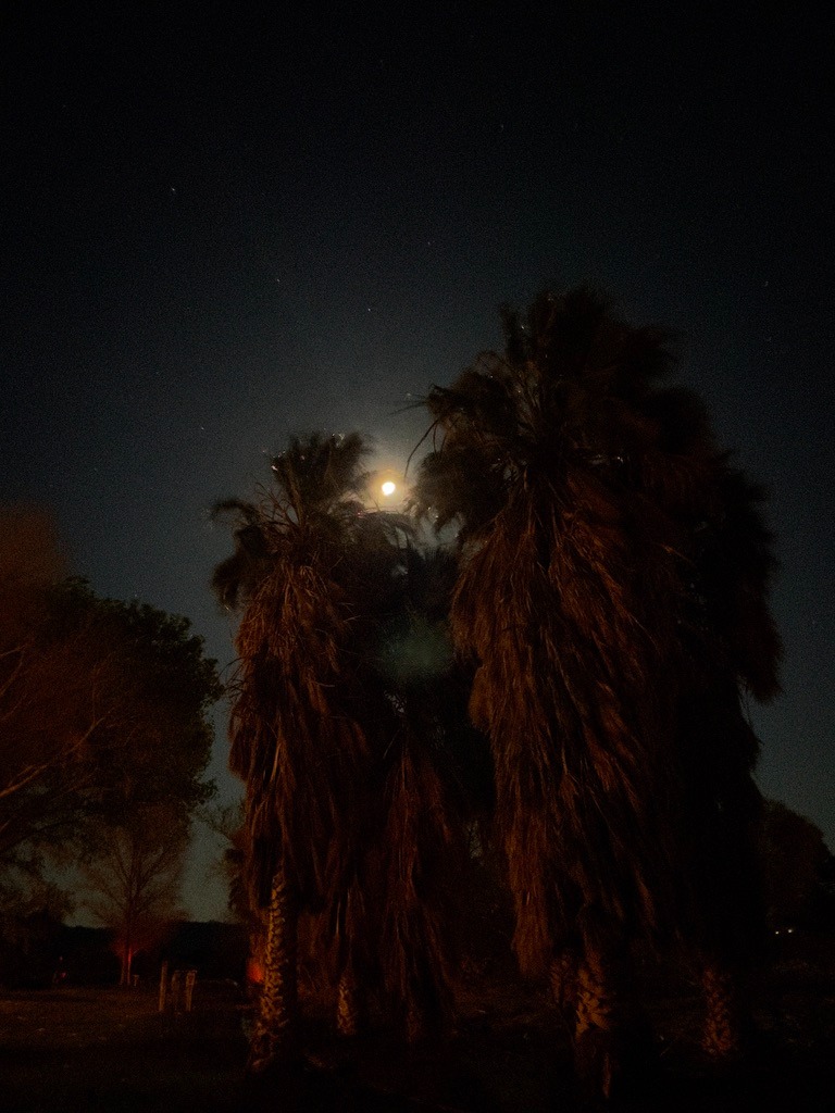
In my best anthropomorphic rabbit voice:  “Goodnight Moon!

Day 7 – Sunday, June 21

Torrey, UT to Caliente, NV ~282 miles

UT-12  → Boulder, Escalante, Cannonville, Bryce Canyon City, → US-89 → UT-14 → Cedar City → UT-56 to the Nevada Border → NV-319 → Panaca → US-93 → Caliente NV → Shady Motel

Our day began as the asphalt was calling, and our tires were about to get a serious workout. Only a little disconcerting since my front Micheline Anakee had upwards of 12,000 miles. This exact route is a legendary mix of twisties, high-altitude sweeps, and pure desert throttle.  Here is how that stretch of blacktop felt on two wheels, of the moto variety and a nod to the pedal variety.

The Apexes and the Abyss (UT-12)
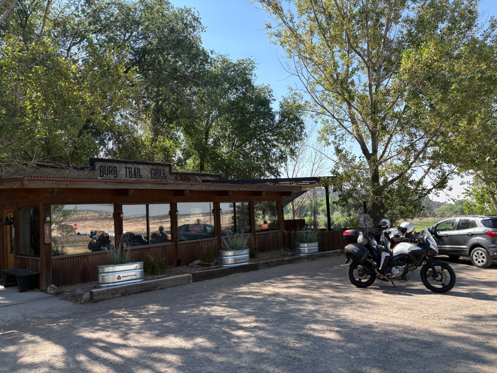
Croissants and coffee in Boulder

Boulder is at the intersection that leads to the Burr Canyon from UT-12 on the E. Burr Trail Rd.  Featured in yet another Knuckleheads’ bike across Utah post and a previous moto post about our ramble through the canyon, there was no time for a revisit as we were headed west.  Leaving Boulder, our tires were barely warm before we hit “The Hogback.”  Not to be confused with Hell’s Backbone road (Hell’s Backbone with DJI Mavic) a few miles northwest of Boulder.  

On a bike, The Hogback isn’t just scenic; it is an adrenaline shot straight to the heart. You are riding a knife-edge of asphalt with a 1,000-foot drop on either side and crosswinds that love to test your counter-steering.  The challenge is to keep your eyes on the exit of the turn, not the canyon floor.  
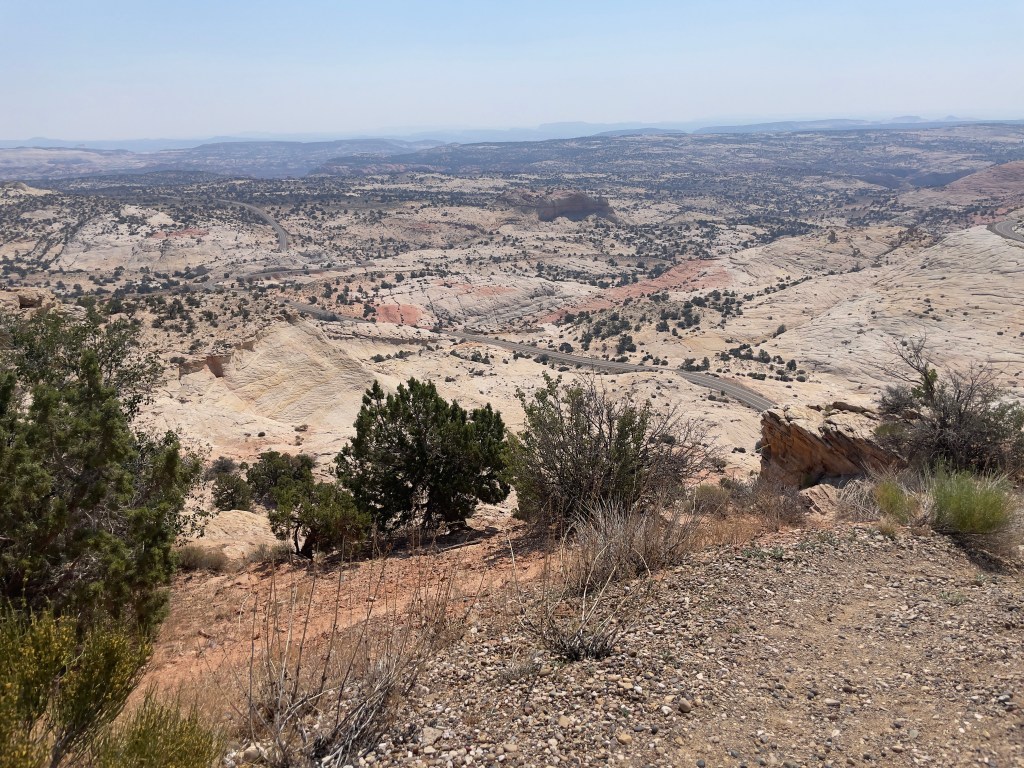
Highway 12 — A Journey Through Time Scenic Byway

In 1997 I found myself pedalling for life as an afternoon thundershower struck while crossing The Hogback on the Tour de Ute.  Channeling Tennyson:

The smell of ozone hung in the air, lightning to right of them, lightning to left of them, hail in front of them volley’d and thunder’d; Some one had blunder’d:  Theirs is not to make reply, Theirs is not to reason why, Theirs is but to do and (hopefully not) die: Into the valley of the Burr Canyon rode ten Knuckleheads…
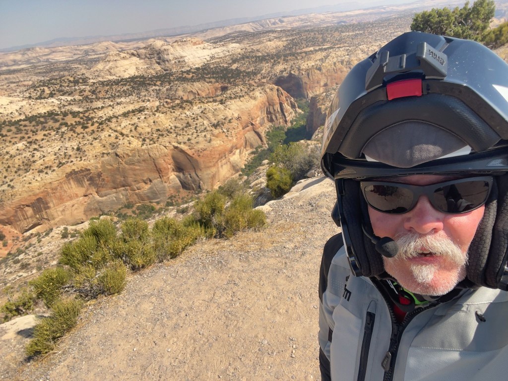
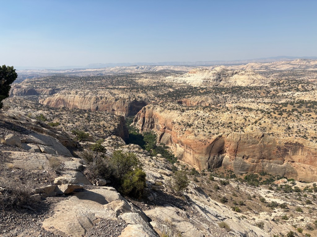
Since 1997, the weather subsequently crossing The Hogback has been benign.  The drop on either side, not so much…
Smokey skies over the Escalante

We dropped down into Escalante, shaking the tension out of our wrists, before leaning into the sweeping curves toward Cannonville. The temperature climbed as we carved through the red rock canyon walls.  Finally, a steady twist of the throttle up the climb into Bryce Canyon City, where the air got crisp, SMAP grabbed a sammy, and the tourist traffic got thick. Watch for rental RVs drifting into your lane.

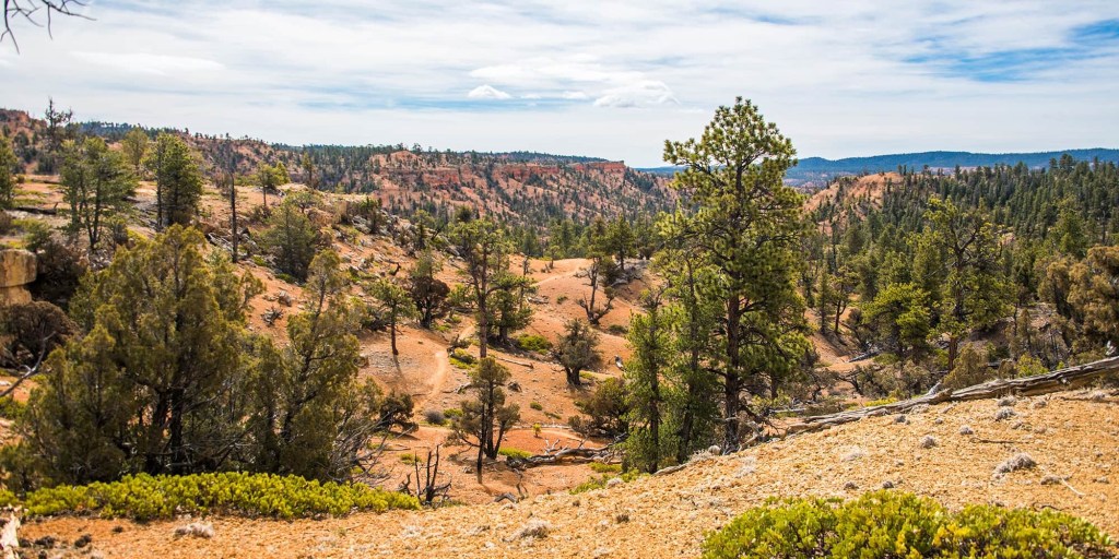
Read the sign
The Outlaw Trail (photo & description courtesy of visitutah.com)

The trail is the same one the notorious Utah-born Butch Cassidy used to evade the law, and it would become part of what was known as the “Outlaw Trail.” The area was also the primary filming location for the 1969 movie “Butch Cassidy and the Sundance Kid,” with Robert Redford and Paul Newman. Redford himself followed the Outlaw Trail in 1976 for a National Geographic piece.

Local legend has it that Cassidy, whose real name Robert LeRoy Parker, got into a fight over a woman at a dance in nearby Panguitch. Having thought he killed her jealous lover, Cassidy fled along the trail. But the injured man was simply knocked out, and upon regaining consciousness he organized a posse to chase Cassidy through these hills. After successfully evading his pursuers, Cassidy would later return to this area — with his the Hole in the Wall Gang and later his Wild Bunch — to hide from the law after a stagecoach robbery or other heist. 
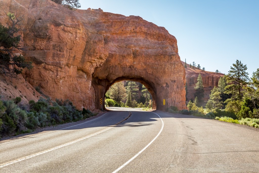
Red Canyon Arch

Lava Fields and Brake Dust (US-89 to UT-14)

After a quick, straight blast on US-89 to shake out the kinks, we leaned hard into UT-14. This is a sport-touring paradise. You lean the bike left and right through tight canyon switchbacks, climbing rapidly up to nearly 10,000 feet. You will definitely feel the chill as you cruise past pitch-black lava fields of the Markagunt Plateau.  Then comes the descent into Cedar City.  It is a steep, brake-burning drop through Cedar Canyon. Keeping an eye out for loose gravel in the corners and deer standing on the shoulder is right there with inattentive tourists stopped on the roadside, taking pictures. 
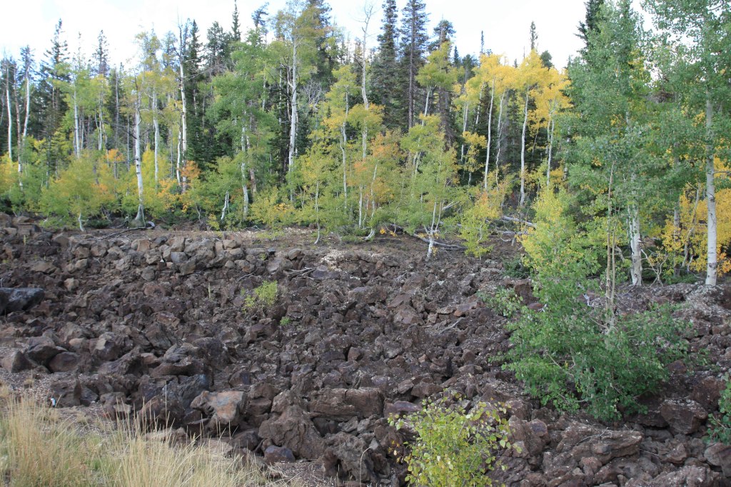
Pitch-black lava flow along UT-14 of the Markagunt Plateau

The Big Throttle Open (UT-56 to NV-319)

After a slight navigation error (despite the map acquired in Torrey, go figure), we stopped in Cedar City for something to give us wings as we were approaching Nevada.  It was time to shift into sixth and set the cruise control.  UT-56 out of Cedar City is a straight, lonely shot through the high desert.  The wind will buffet your helmet and the June heat will have you looking for the nearest water faucet to soak your cooling vest. 
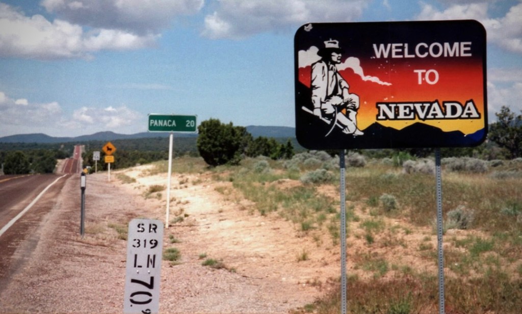
And yet more signs to read

We crossed into Nevada as the road became NV-319, rolling past the stark, white clay spires near Panaca. The pavement here is wide, empty, and fast. It is just you, the drone of your exhaust, and seeing a small patch of shade in front of the LDS church, a place to stop and stretch the nalgas.  Ah, across the road from the church, a Post Office with a spigot and hose.  Worthy of the likes of an inspiring Greely or Young quote, from Sisyphus:  “Soak me with your hose Panaca!”  

Cooling vests were now charged for the run into Caliente, Spanish for HOT.
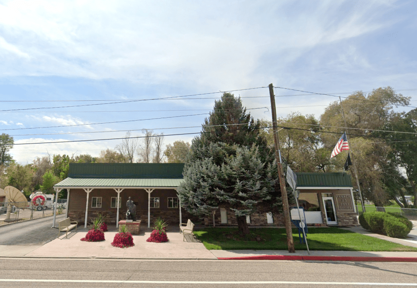
Our oasis has a Zip Code
SMAP enjoying the evaporative cooling vest charged from the Panaca Post Office hosing

Fueling up at the Shell station on the outskirts of Panaca, we met a couple, two up, on a Harley Roadglide, Streetglide, Road King or one of those badass HD-Baaaaggeeeers…  They were from New Jersey and had rented the bike in Las Vegas and were on their way to Yosemite.  They were “hard core” riders, not by way of appearance, but miles, each on their own bikes back home and two-up touring. They had come from Zion and we recommended Tonopah or Ely, masters of navigation that we are, for their Sunday destination.  Another chance meeting with curious like minded ramblin’ folks with stories to tell and good cheer.

The Cool Down at the Shady Motel (US-93)

A sharp left onto US-93 brought us down into Caliente. After hours of gripping the bars, the historic shady streets (at least one side of the street) of this rail town felt like a sanctuary.  It was warm, in the 90’s, but the Shady Motel had top-shelf air conditioning.  Kickstands down, helmets off, and jackets unzipped, soon the afternoon heat would abate. There is nothing quite like the feeling of peeling off riding gloves and boots after conquering the Hogback and the high passes of Utah and sagebrush plains of eastern Nevada.  
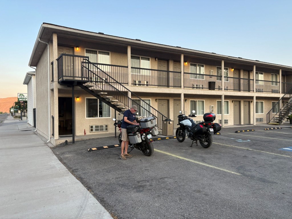
The perfect perch for watching Caliente culture

As we finished checking in, a fire truck showed up with Utah licence plates.  A young firefighter entered the office.  We had noticed smoke in the air from earlier in the day and were in fact rolling into more dense smoke enroute.  Curious fellow I am and a proud papa of two firefighters, I asked if the smoke in the air had something to do with their showing up in Caliente.  The young man said that they were dispatched from Utah to cover the Caliente area that had earlier dispatched engines to a couple of wild fires, the Grapevine and Kane Spring fires south of town.   They were anxious to see fire and not just the smoke.  
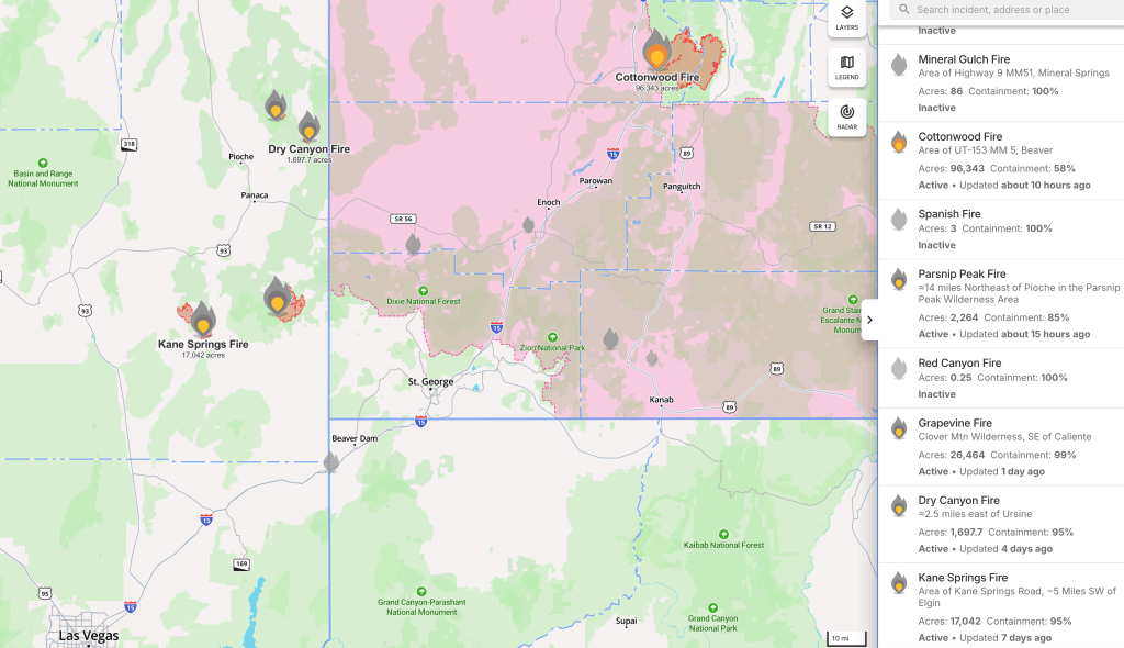
Screen shot from the app, Watch Duty captured on July 9, 2026

I imagine our Utah firefighters got their shot on the Cottonwood fire back home.

An early dinner at The Side Track, spaghetti and meatballs for SMAP and a well executed fettucini alfredo for me at one of our all time favorite ramble restaurants.  Cold rehydrating beverages were procured next door at the All Aboard Liquor Store, and we returned to the motel, set up our camp chairs facing US-93 on the walkway, and watched the locals cruising the main.  Curiously a bus roamed up and down a couple of times filled with students, with whom we exchanged waves. This is how one enjoys the small town vibe as the desert sun set.  
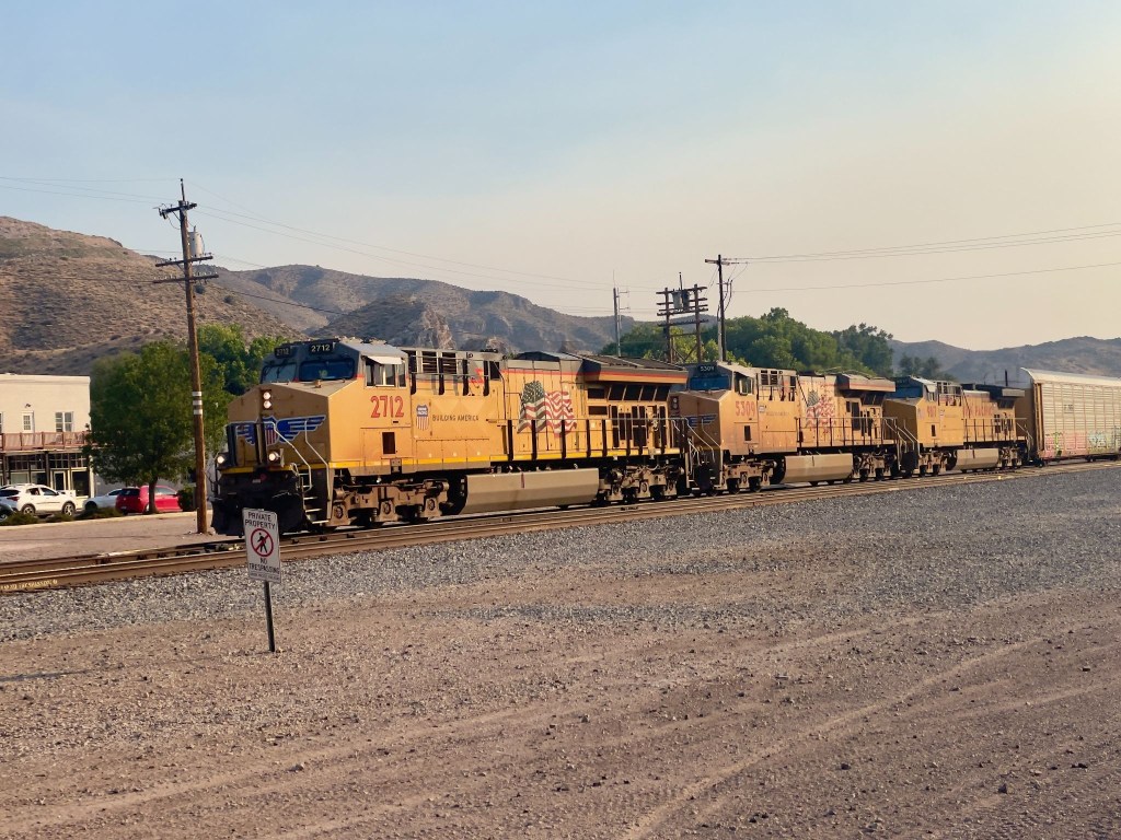
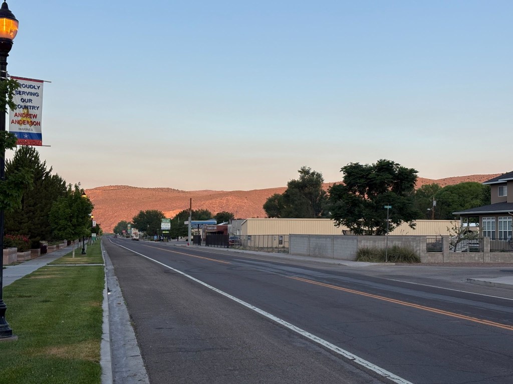
The economic engine of Caliente near smokey-sundown
The golden hour looking west in Caliente
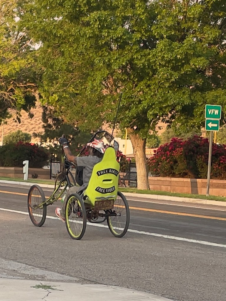
Free Biker, Free Rider
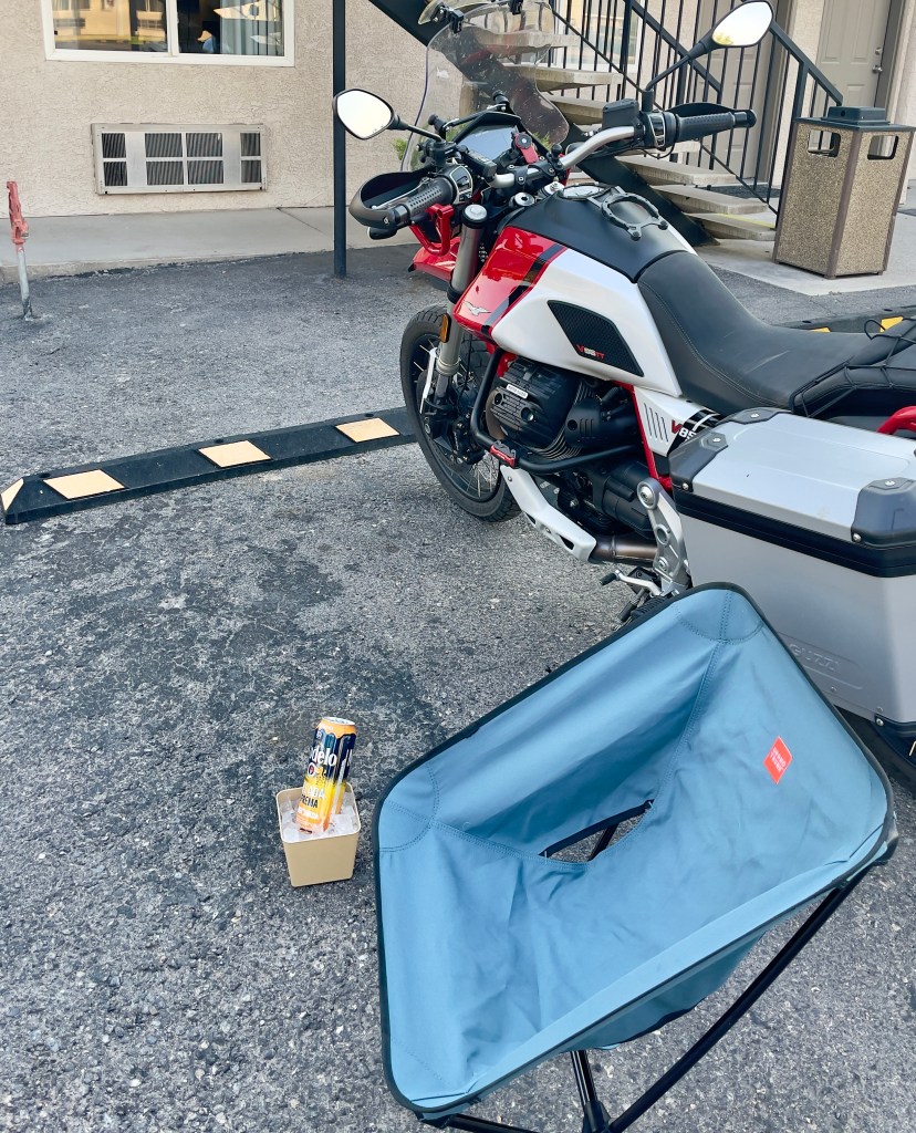
Chair ✔️, ice ✔️, an R ✔️ 
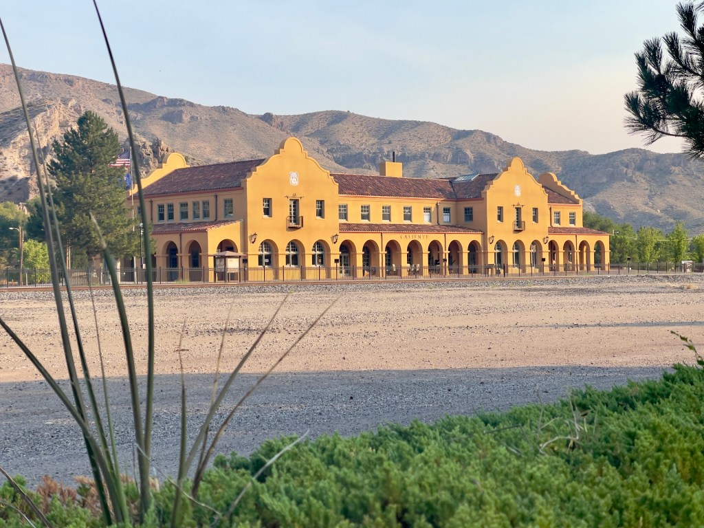
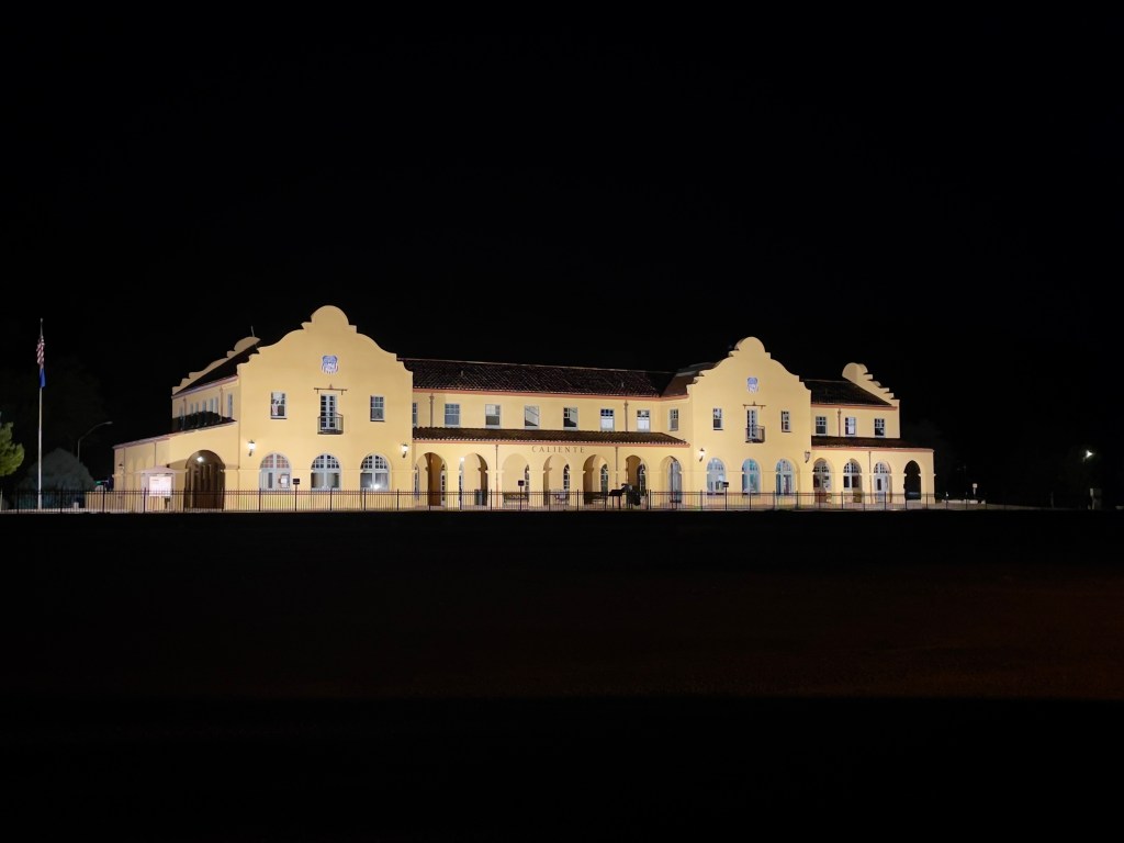
The Caliente Station at sunset
The Caliente Station in darkness
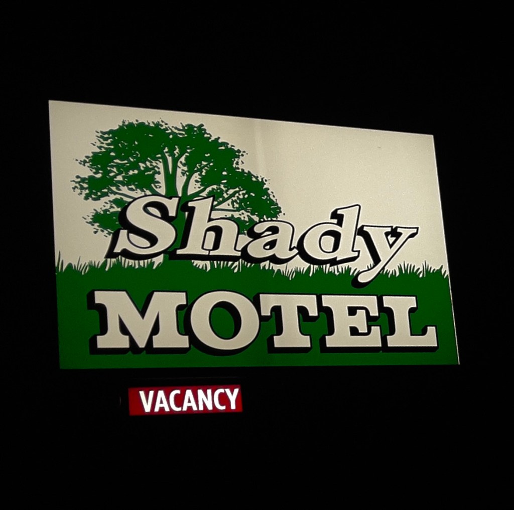
It’s not that something was missing, we had achieved “vacancy” a desired form of relaxation
(From the archaic: absence of activity; idleness)

Day 8- Monday, June 22

Caliente, NV to Merced, CA~466 miles

US-93 N → NV-375 Extraterrestrial Highway → US-6 Tonopah → Benton, CA → CA-120 → Lee Vining → CA-120 → Tioga Pass Crane Flat → CA-120 → Smith Station Rd → Coulterville, CA-132 → Merced Falls Rd → Snelling Rd → Merced → Home Sweet Home

Two Bikes, Two Nalgas, and One Intergalactic Highway

The odometer told us we had 466 miles to cover to get back to Merced.  Another day was planned for somewhere between Independence and Bridgeport on the East Side of the Sierra.  We talked about it.  On a motorcycle, 466 miles is not a distance.  It is a dynamic physical test of how long a human being can tolerate vibrating metal between their thighs before their spinal column permanently fuses into a solid rod.  We were also feeling the other 2,000+ miles of the previous six days, the most recent in heat and now smoke.  Besides, SMAP had to be back before Wednesday for a memorial service. That’s it, let’s iron-butt it home and save the East Side for the fall when temps have relented along with the smoke.

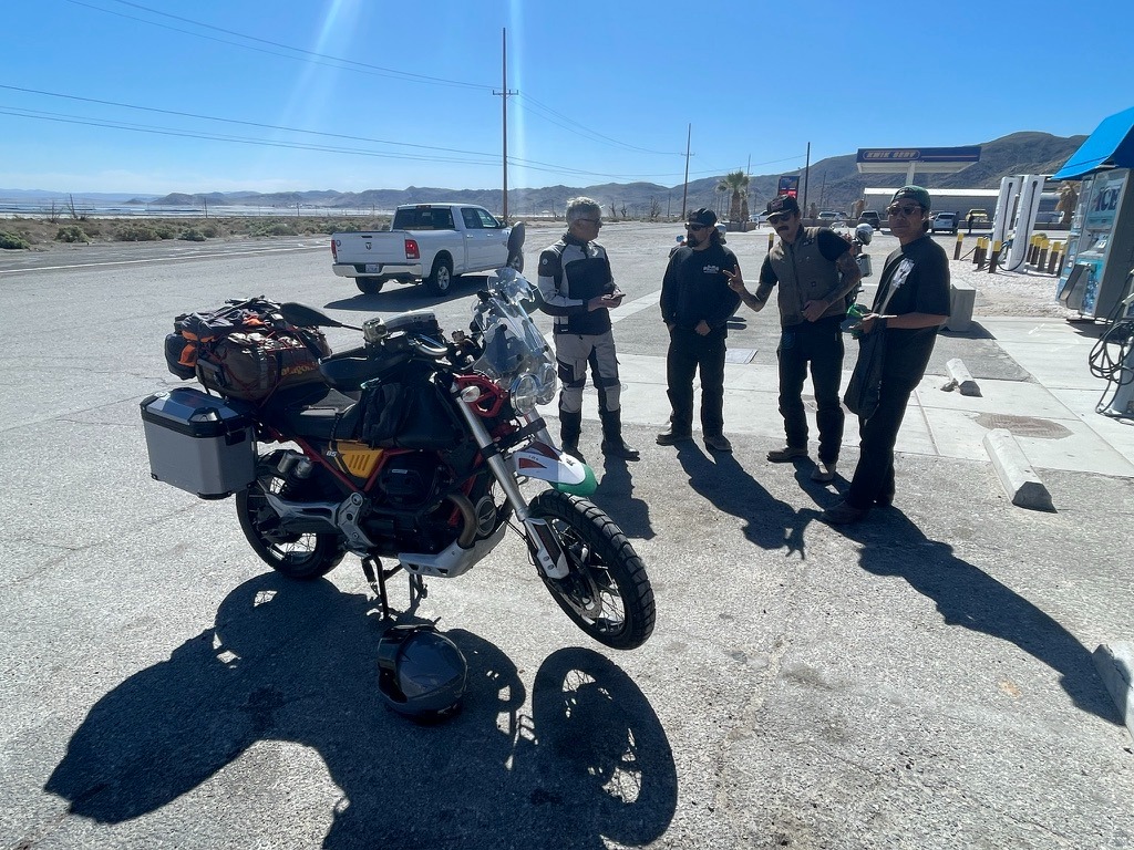
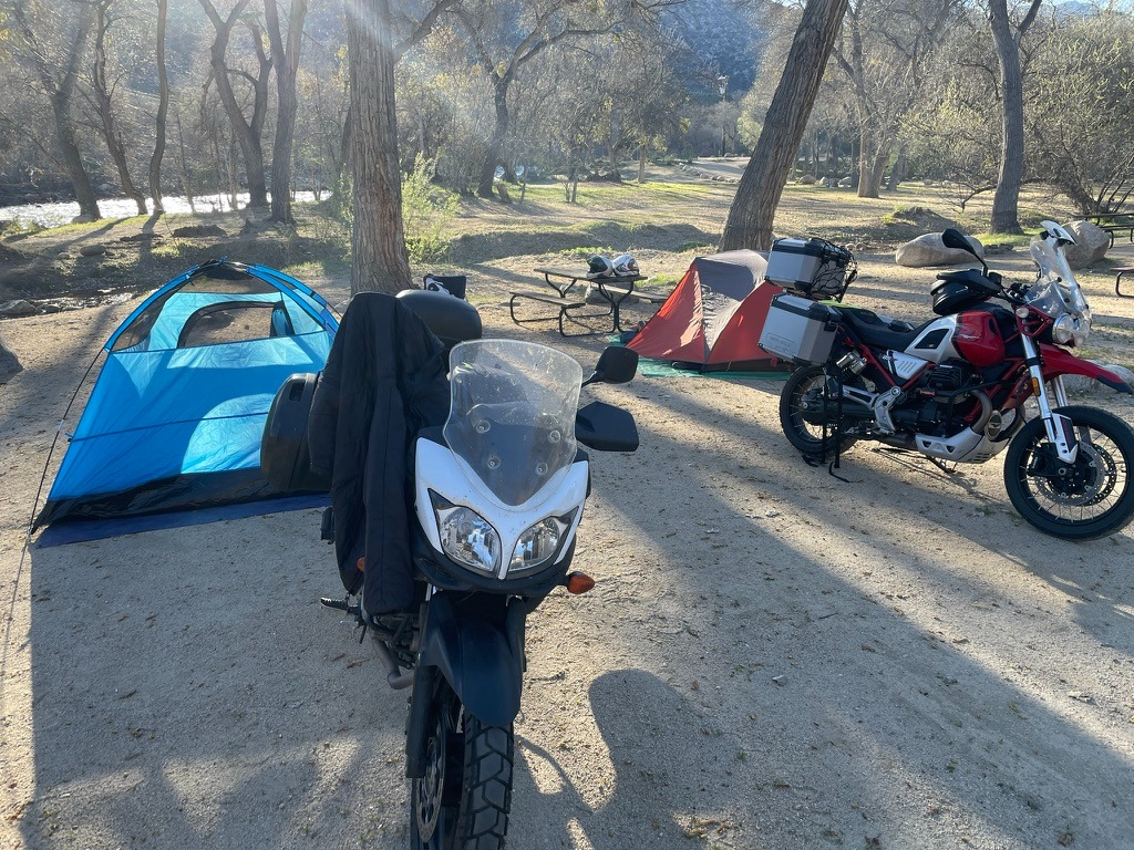
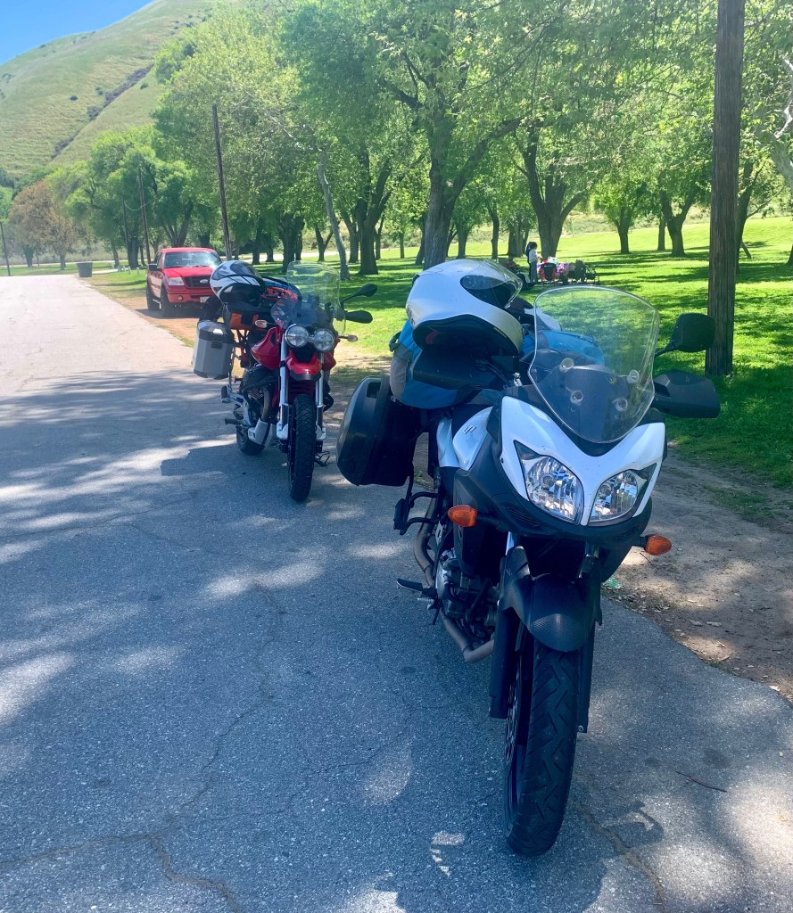
We pulled out of Caliente, me on my Moto Guzzi V85TT, a bike built by Italians who clearly believe that adventure should involve a lot of character, a six gallon fuel tank, and an exhaust note that sounds like a sophisticated tractor. SMAP was aboard his Suzuki VStrom 650, a machine engineered by the Japanese to survive a tsunami, an alien apocalypse, 85 mph all day on deserted Nevada highways, even a skipped oil change.  Although, I must say, SMAP religiously attended to his chain lubrication daily, prior to dinner and the 3R’s.  With my shaft drive and his superb chain maintenance we had nil issues with our bikes.  

A’Le’ Inn Territory

Once over the border on the previous day, we pointed the front wheels toward US-93 North, which quickly dissolved into NV-375. This is officially designated as the Extraterrestrial Highway. 

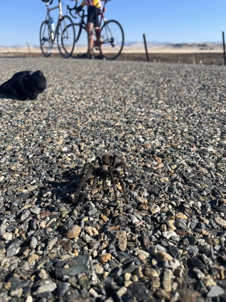
The Scenery: Dirt, sagebrush, and a horizon so flat you can see the back of your own head.  The Physics: The crosswinds here do not just blow.  They try to slap you across the face and throw your bike into a ditch full of radioactive tarantulas.  The Aerodynamics: On the naked-ish Guzzi with boxy panniers, I was a human sail.  On the VStrom, SMAP sat in a pocket of calm, Japanese-engineered serenity, looking entirely too comfortable.  
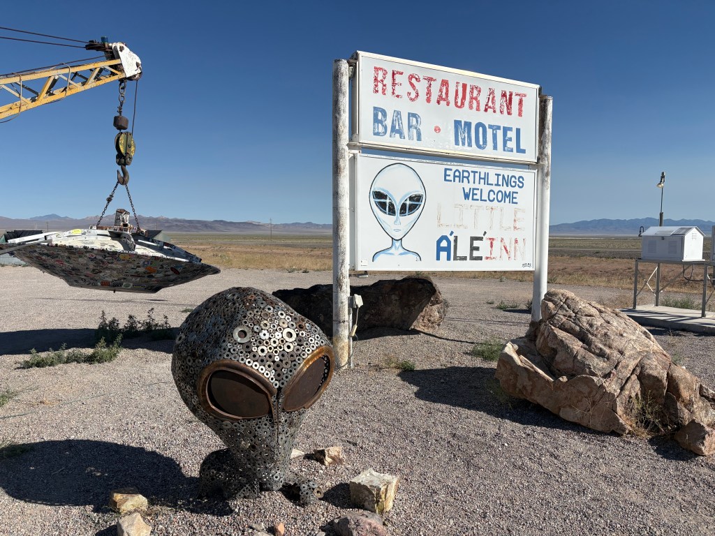
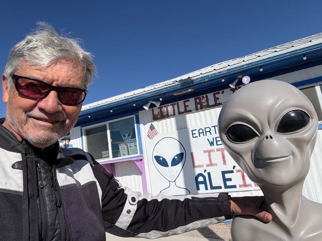
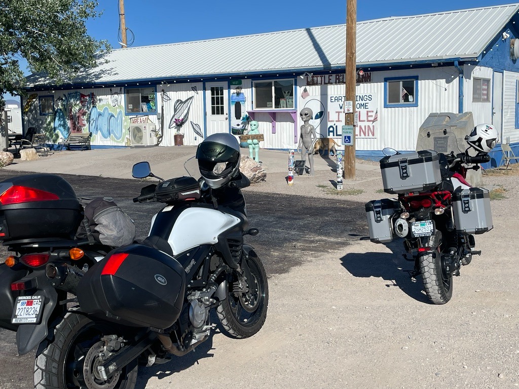
Like the Bagdad Cafe, everyone is welcome at the Lil A’Le’Inn

More cattle die on this godforsaken road from being hit by vehicles than by all the alien mutilation attributed to the unidentified flying objects (AKA unidentified aerial phenomenon) common to the Rachel area.  In fact, we rolled through the graphic tractor-trailer-highway- jay-walking-mutilated-cow art, that had been committed earlier in the day.  Perhaps it wasn’t a tractor-trailer, but something from Area 51…
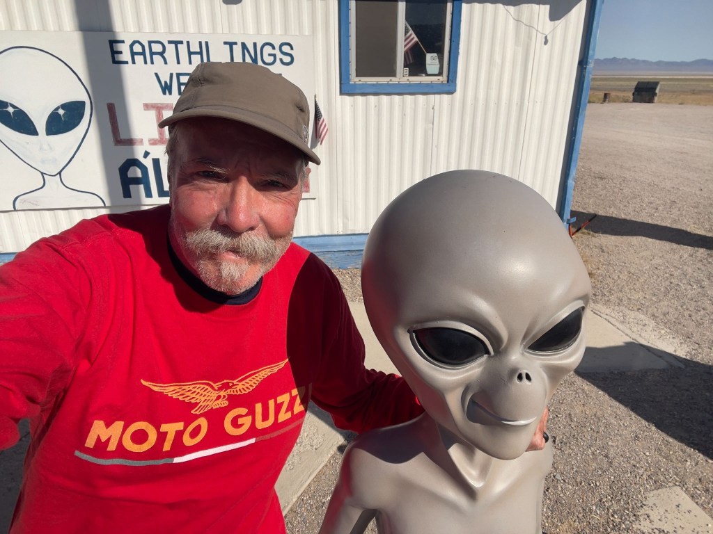
The latest themed kitsch at the Little A’le’Inn

After a fine breakfast at the Little A’Le’Inn Cafe, we set off on the next uninterrupted basin and range, mile-after-mile of nothing more than mile-after-mile landscape. 

Eventually reaching Tonopah, we conscientiously observed the speed limit  through town on US-6.  Tonopah is famous for a hotel filled with terrifying clown dolls and as a Nevada State Patrol speed trap.  Our only stop was for fuel.  We weren’t entirely sanctimonious.  If a clown tried to steal the Moto Guzzi, nobody wins.
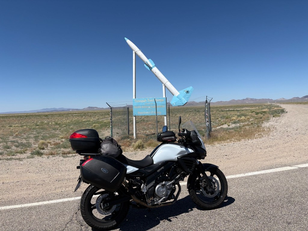
SMAP had to have a pic of the VStrom in front of the Tonopah Test Range entrance
The California Welcome sign kind of pales next to Nevada’s “see ya” sign
(Both relatively bullet-hole free)

Up, Up, and Vertigo

Eventually, we crossed into Benton, California.  The landscape changed from “barren moonscape” to “vertical wall of granite.”  At the Benton Station Store energy drinks were procured for wings to make the whoops enroute to Lee Vining before the hump over Tioga.  But not before appreciating Boundary Peak to the east, from where we came, the highest peak in Nevada.  

We merged onto US-395, 70 miles south of where we joined the Three Flags Highway earlier in the week, so named to recognize its role in linking Mexico, the United States, and Canada. 

Rolling into Lee Vining, a town that exists purely to sell gas to motorcyclists who suddenly realize their low-fuel light has been blinking for 30 miles.  That and the Whoa Nelly Deli where packages of meat can be purchased (SMAP is evidence of someone wanting a protein boost with nitrites) that cost almost as much as a gallon of 91 octane, (Guzzi’s favorite).  I had sunflower seeds.
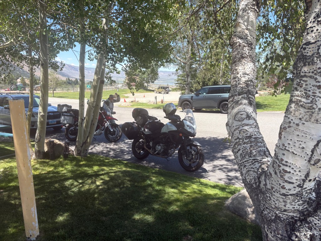
Shade, at a premium at 6,784 feet
Negit (left) and Paoha (right) Islands in Mono Lake

Then came Tioga Pass  

The Elevation: 9,943 feet.  The Temperature: Dropping faster than my investment portfolio.  The Curves: Sweepers that would make a track-day racer weep with joy, followed by sheer drop-offs that make you pray your brake fluid doesn’t evaporate.  The Guzzi loved the thin mountain air, chugging up the switchbacks with its vertically opposed twin cylinders thumping happily.  The VStrom 650 just whined its predictable, ultra-reliable whine, carving through the corners like a surgical instrument.  The only thing slowing SMAP down was an APS (Arizona Pork Sled) trudging its way up the pass. 

We summited the pass, five bars on the fuel gauge and bypassed Crane Flat.  From there, more sluggish traffic and temps were rising by a degree, every 500 feet of elevation loss.   Normally on this long descent your front brake lever becomes your closest personal friend.  A brief stop at the Coulterville Public Pool to dunk our evaporative cooling vests for a somewhat muggy, but cooler final push to conclude the ramble.  

Back Home and a Couple of Weeks of Reflection

Sisyphus, as the myth goes, was condemned to push his boulder up the mountain for eternity, the futility being the point. Sisyphus and SMAP, by contrast, spent eight days pushing two motorcycles across six states (seven if you count California twice) with unreliable technology, navigation largely by fading memory, hunch, and road signs after losing a paper map, and no plan beyond the SRPC and a shared faith that the next fuel stop, motel marquee, or roadblock detour would sort itself out—and it always did, which either disproves the myth or confirms that Sisyphus’s boulder was never the point either way. 
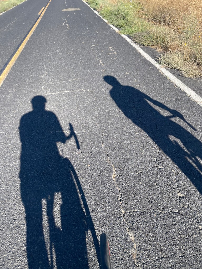
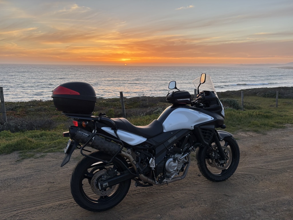
The other two-wheelers in our stables

What lingers isn’t the mileage, though 2,500-plus miles is nothing to scoff at from a saddle. It’s Ming’s bewildered “What a president?”, Donovan’s sweatpants-and-a-helmet optimism, Lenny’s coconut-smoothie curmudgeonry, and a busload of pine-cone harvesters saluted with raised tallboys in a Susanville parking lot under a bank of security cameras that captured, more faithfully than any GPS could have routed us, exactly what this ramble was actually about. 

The Hogback, that tried to kill me 29 years ago, tried gently, the way it does if you take your eye off the center line; Tioga Pass reminded two aging knees and chaffed nalgas why long distance (and elevation) is a young man’s game; and somewhere on the Extraterrestrial Highway, there’s a graphic tractor-trailer-highway-jay-walking-mutilated-cow art and a ditch full of radioactive tarantulas. 

We came home sunburnt, saddle-sore, no more technologically literate, and thoroughly rehydrated, relaxed, and reflected upon—three-R’d into a vacancy most evenings by sunsets that made the whole exercise feel less like punishment and more like the reward Sisyphus never got. 

Same time next ride, boulder willing.

July 9, 2026
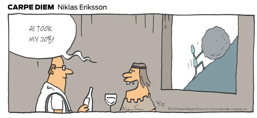
All photos unless otherwise noted were taken by Sisyphus and SMAP. AI was used in planning the ride, with modest accuracy and edited frequently once on the ride. Unless AI learns to ride a motorcycle and enjoy the 3R’s, Sisyphus will have employment indefinitely…
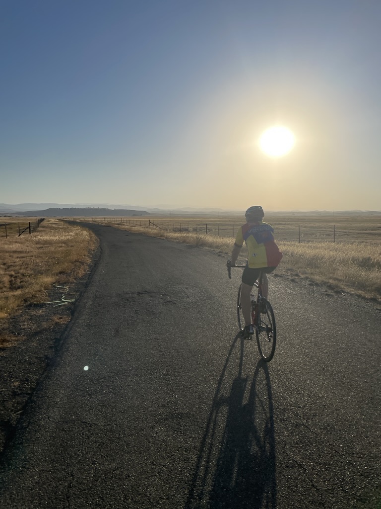
Bloom or Bust?

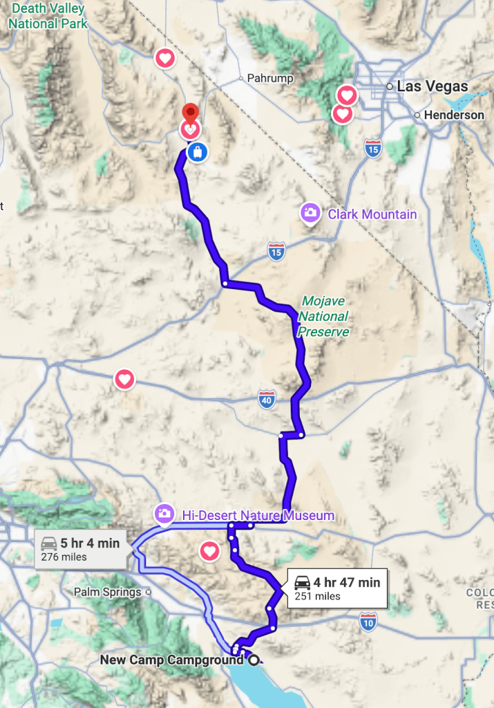
A Ramble to the Salton Sea, Anza-Borrego, and Death Valley

Welcome back to my legion of followers.  I just looked up “legion” and it is defined as “a division of the Roman army, usually comprising 3000 to 6000 soldiers.”   That I have a legion of followers may be a slight confabulation.  However, If you’re new or have forgotten (having somehow stumbled on Sisyuphusdw7.com), here’s a little about what’s in store for you.

Summer, Fall, Winter, and Spring along local roads

Planning a Ramble

All of Sisyphus’motorcycle rambles are conceived, considered, and calendared on bicycle rambles.  Two wheels are conducive to getting excited about the coming and going of the seasons (see above).  Ideas are pitched and affirmed by the calendar subject to family considerations and geezer appointments.  And then there’s the fickleness of weather as the West contends with climate change.  In spite of all of that, a planned route takes shape, and like a clay sculpture, is worked until it resembles something doable by a couple of geezers intent on remaining vertical, defying the dirt farm hopefully to return to the warm embrace of our families.  

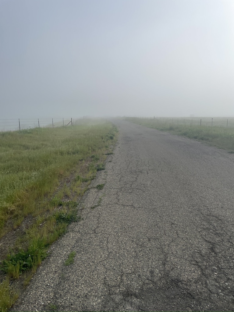
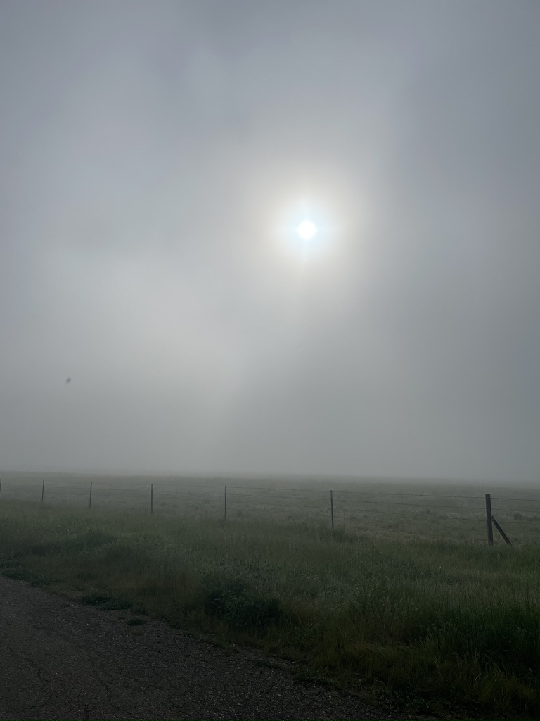
This winter after the December deluge, unrelenting fog returned to the Central Valley floor. This was unanticipated because of scant early winter rains of the past few years. Not much fun to ride a bicycle in the fog, even less so on a motorcycle.

Reflecting on Fog

On one such ride the subject of a late winter throttle-twisting ramble came up. Tired of the rain and fog interrupted two-wheeled pedal adventures, the desert beckoned. That’s where my love of maps, interest in weather, and curiosity about new places to explore got me into the SPM, Sisyphusian Planning Mode…

Pete (Sisyphus’s moto-associate, henceforth labeled as SMAP) and I enjoy the routine experiences like Mexican food and campgrounds on a ramble and the unique experiences like Box Canyon in 35 mph winds or meeting a fellow Guzzi rider (I’ve only met two since 2023 when I acquired IlBellaosa). Assured of the usual Mexican restaurants along the way, it is California afterall, where had we never been before and will there be another Guzzi out there, somewhere?

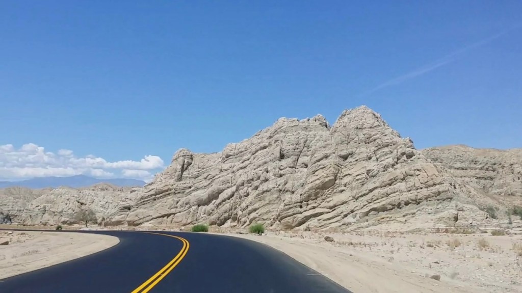
Mecca Box Canyon

Worth a return visit in Terra Bella.

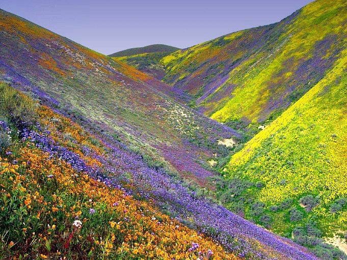
That’s when the prospect of another ‘super bloom’ began to suggest a destination. Previously Sisyphus and Associates have attended nature’s splendor on the  2016 Sand to Snow Super Bloom Tour in the TRD, or the 2019 Super Bloom on Two Wheels. Word was getting out that while this season’s bloom might not quite be up to the 2016 version, it would likely rival the 2019 bloom. Ah yes, a super bloom.

You might just be wondering what constitutes a super bloom? There is no official definition (or spelling) of a ‘superbloom,’ the term is usually used when entire hillsides are covered with blooms dense enough to give them a swath of color, exciting Instagram influencers to trample them while frolicing among the delicate blossoms. At least that’s what I learned in my first retirement coursework as a certified California Naturalist.

2016 in the Temblor Range near the Carrizo Plain

Now let’s go find one as later-day influencers…

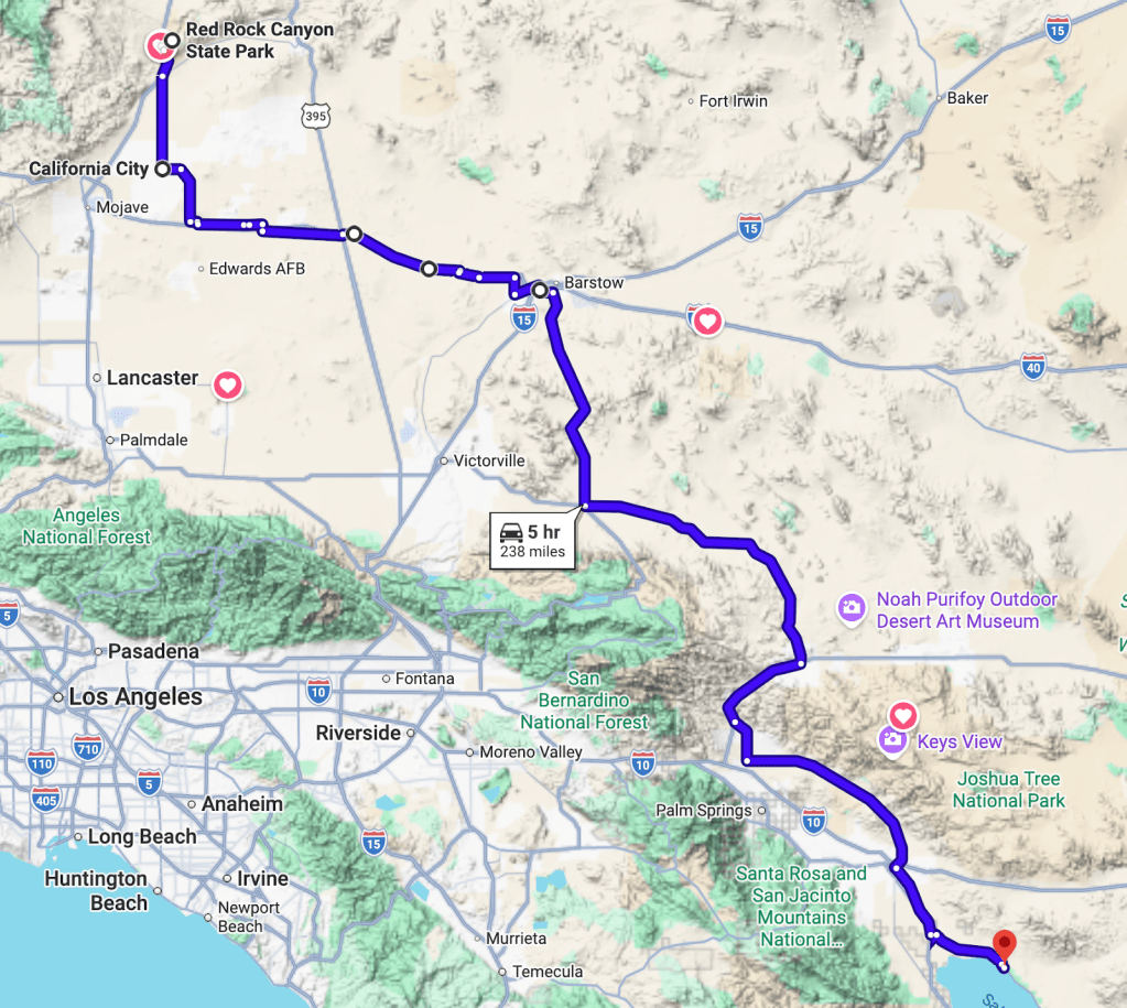
Day 1 – Merced to Red Rock Canyon State Park Itinerary

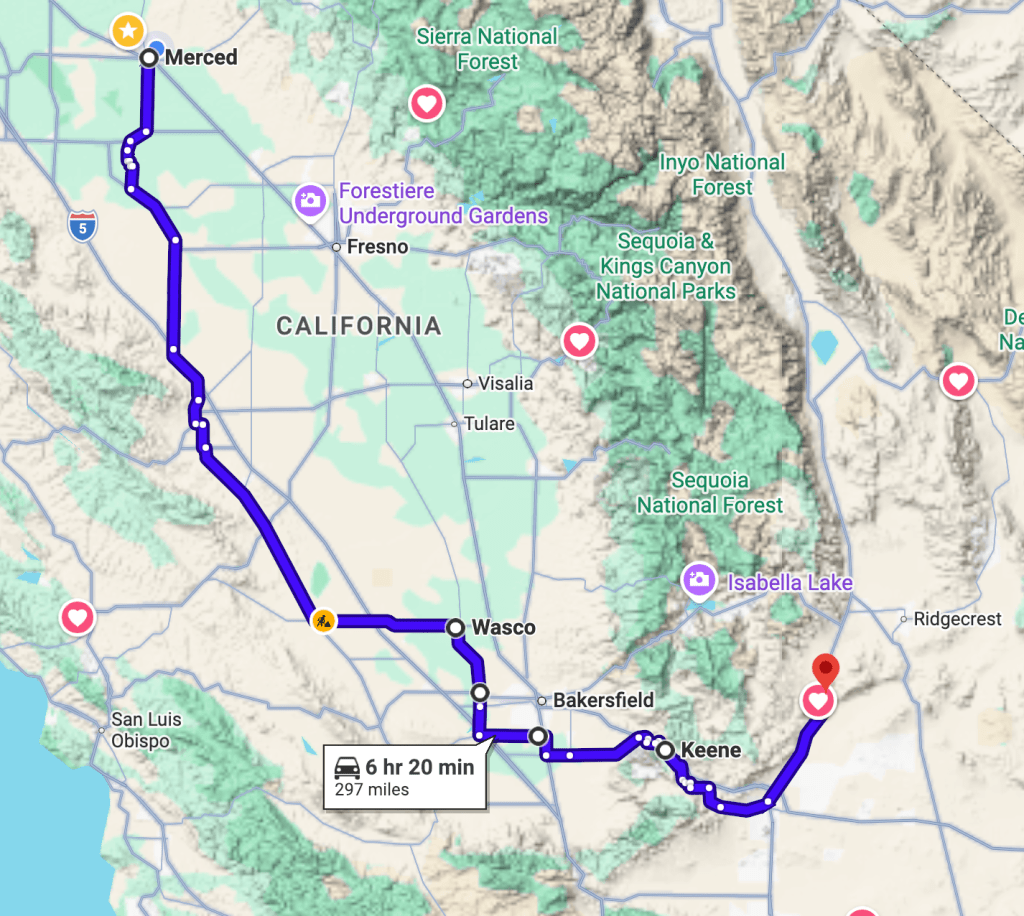
Merced to Red Rock Canyon State Park, Ricardo, CA:  296 miles  (332 miles if Ridgecrest stop for supplies is included)

Via CA-33 to CA-46 to CA-65 to CA-178 to CA-14 and RedRock Canyon:  296 miles

Tehachapi via Wasco Alternative:  297 miles 

Longest day might or might not be the best way to start a ramble

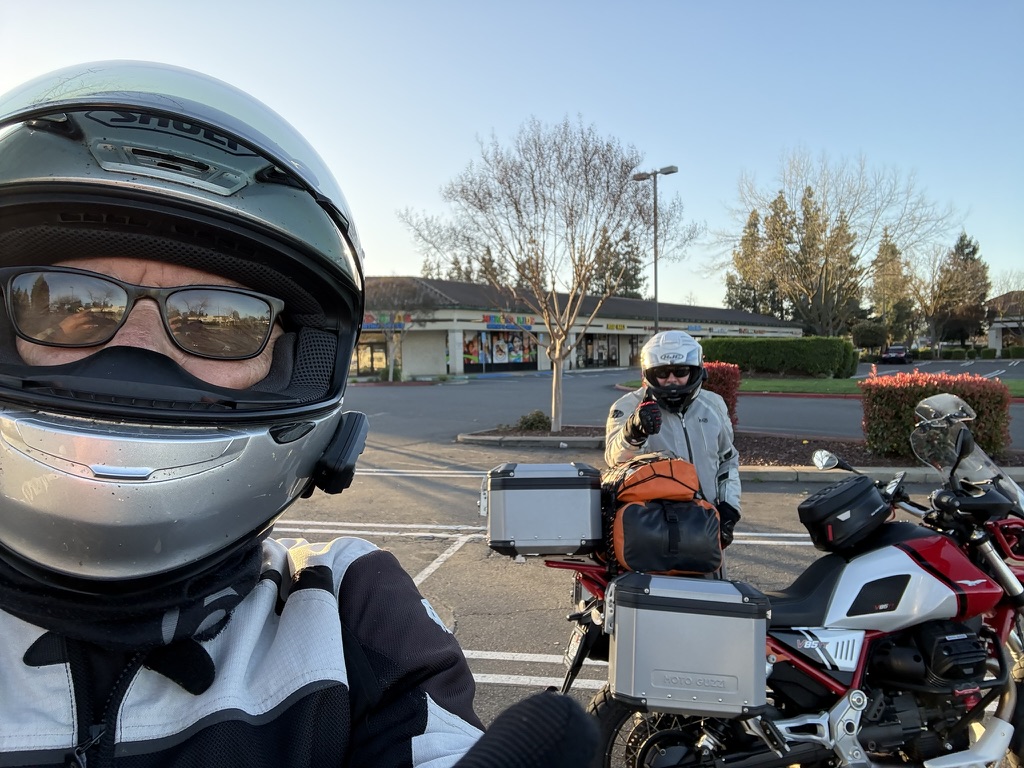
Bright and early on March 2nd we convened at our usual ramble departure venue, the Chevron Station at Yosemite Ave and G St.  I was on IlBellaRosa, my 2022 Moto Guzzi V85TT and SMAP was on his unnamed 2014 Suzuki V-Strom.  That’s a clear insight into our personalities.  Sisyphus is self-consciously flashy, giving his moto an Italian sobriquet, and SMAP is decidedly not on his anonymous Japanese whip.  

Flashy or decidedly not

For those not in the know, a Moto Guzzi is an oddball’s choice.  First of all, it’s European.  Guzzi’s fall somewhere between sexier Italian motorcycles like the glitterati Ducati’s or Aprilia’s and the beau monde BMW’s.  It’s kind of a well read, blue-collar moto for those of us who have an affinity for modestly priced pinot noirs (flashy?).  SMAP’s more of a bangers and mash fellow (actually carne asada and frijolles), decidedly not flashy.  

My moto is red and white, both of his are black and white.  His stable includes a 2019 Triumph T120 alongside the VStrom and a 1975 Kawasaki Z900 variously in parts in his garage, a commemoratory from his youth, all motorcycles for Modelo (and Guiness) drinkers.  Note, there is no comparing any of them to a Harley.  None.  Full stop.   

Loaded for liftoff… Even SMAP’s ATGAT is bkack and white

In Search of the Super Bloom

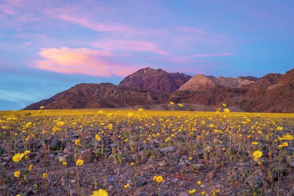
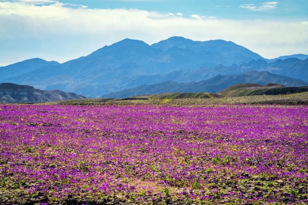
As the title implies, part of our quest was to see this alleged, ‘super bloom’ that was shaping up across California.  Having made our way to the Carrizo Plain and Antelope Valley, two of California’s most prolific wildflower shows on past rambles, it was time to explore the Anza-Borrego desert bloom while tacking on a loop through Death Valley to witness the alluvial fans around Furnace Creek covered by the ephemeral burst of Desert Gold (yellow blooms) and Phacelia (purple blooms).  I had to hit up my 2016 post, fresh out of the Naturalist training, to remember the names of flowers by which the San Francisco Chronicle was seducing its readers in publishing photos of the current super bloom… 

Death Valley photos “courtesy” of the San Francisco Chronicle

And so an itinerary began to take shape.  

Which Pass?

Crossing the mountains to get to the Mojave leaves us with but two options in the winter:  Walker Pass on CA-178 or Tehachapi Pass on CA-58.  Walker Pass above Lake Isabella is our go-to winter/spring southern Sierra crossing, and a third, little-known Sherman Pass, is only available in the summer.  Tehachapi tends to be crowded with 18-wheeled commerce that makes for more of a “slab” ride than the “scenic route” experience of Walker or Sherman Passes .  

Since our first night’s destination was Red Rocks Canyon State Park, pretty much 25 miles (~50 round trip from the campground) from any Mexican restaurants or fuel, this after nearly 300 miles to get there in the first place, I selected the following route: Tehachapi via Wasco Alternative:  297 miles

Thus avoiding I-5 or CA-99, the idea was to minimize the CA-58 slab while making our way through Mojave where we could procure supplies for the night at the isolated campsite after a long day’s ride rather than detouring to California City or Ridgecrest for essential 3-R’s (Relax, Rehydrate, and Reflect) beverages and victuals.   

And so, on a sunny crisp Monday morning, we made it to Blackwell’s Corner by way of CA-59 and 33 through thousands of acres of alfalfa, pistachios and almonds all supported by the artery known as the California Aqueduct and a diminishing aquifer. That is where the metaphorical sculpture (mentioned earlier) assumed a slightly different form.

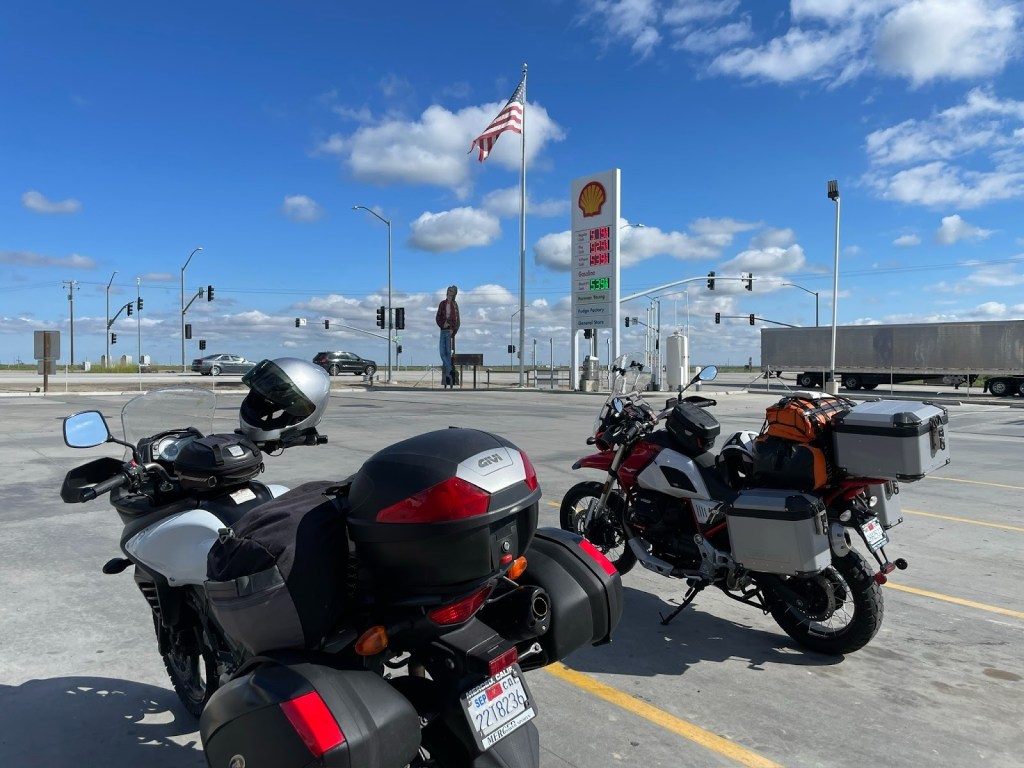
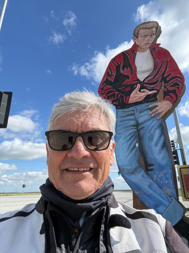
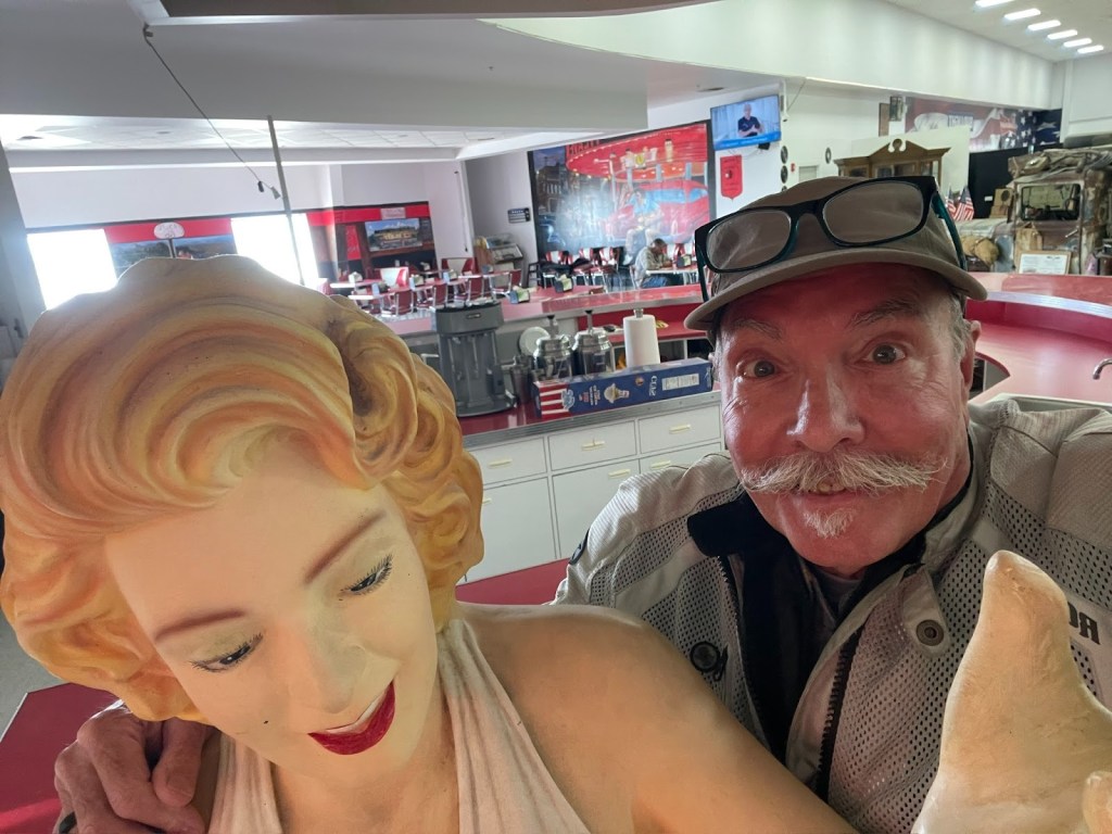
Nalgas relief and some James Dean, Marylin, and a tribute, of sorts, to the Dust Bowl at a gas stop in the Lost Hills. I’m not sure why Marylin is featured except it goes with the whole 50’s vibe of the Dean reference.  No shame. 

A little bit about Blackwells Corner and my family

Besides being the only fuel for 50ish miles, Blackwells Corner is at the intersection of CA-46 and CA-33 and was the last place James Dean was seen alive prior to his death in a car wreck.  Hence the 16 ft likeness next to the Shell sign. 

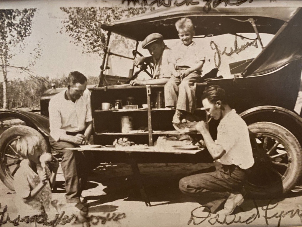
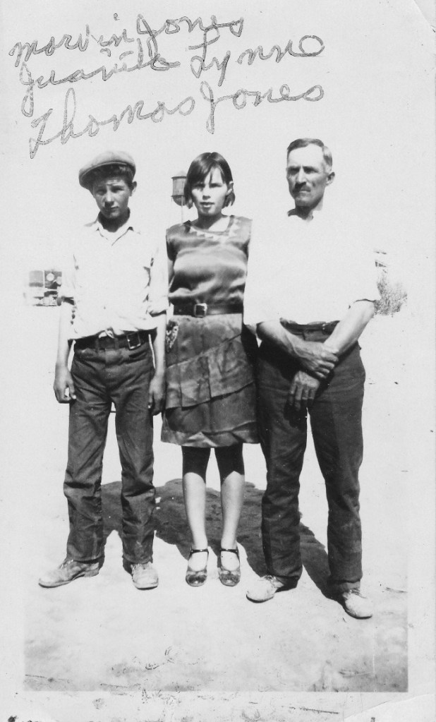
Marketing knows no shame.  It was also where many displaced Americans, my grandfather father, his sister, and uncle among them, ended their migration west, the result of the Great Depression and disastrous agricultural practices in the south and southwest.  

Grandpa on the left, Dad behind the wheel,
and Uncle Dave squatting on the Right.
Dad, Aunt Nita, and Grandpa Jones

So much for “meticulous planning’

From there, it was CA-43 to Wasco…  We rerouted from the “meticulously planned” route.  Navigation is always subject to change as Google does its best to alter a saved route in favor of a real-time faster route.  Faster routes usually involve the dreaded slab in the map App’s “Drive” mode despite setting the “Avoid highways” feature.  

Instead we headed east through Famoso, home of the March Meet that was taking place at the famous, Famoso Raceway. Past the dragstrip we joined CA-65 south to Oildale. The hillsides were in lush spring green.  Seeing the pump jacks of the Kern River Oilfield was only modestly incongruous to the otherwise verdant rolling hills.  Besides, we were a little tired of the pistachio and almond scenery. We get enough of the orchard scene on our local bicycle rides.

Zagging and zigging through Oildale we joined CA-58, yes, the slab, abandoning the “meticulously planned” route south of Bakersfield by weaving in and out and around CA-58 on frontages crossing Tehachapi Pass thus missing the Tehachapi Rail Loop vista and several small hill communities dotting those frontages!  Likey places my family members would have stopped humping the Model T over the pass. Oh well, by this time the nalgas were crying for relief, the belly a bit peckish, and a more direct route made for an easy compromise.  

A bite to eat at the local Mojave Korean fast food establishment, no sideboards on a motorcycle… 

… and a quick stop at the market for 3-R beverages and ‘dinner’ snacks for our campsite, likely unavailable in 1930.

Ricardo Campground

We then hopped on to a windy CA-14 to our home-home-on-the-road in Ricardo at the Red Rocks Canyon State Park Campground.  Red Rock Canyon State Park with Huell Howser explains the Ricardo reference on the map.

SMAP’s new tent
Fritos, hummus, pita chips, and a Modelo… 
Better than caviar and champagne as we commence with the 3R’s

March Blood Moon

We were fortunate to have a full moon that would eclipse, making for a blood moon later in the night.  After relaxing and rehydrating, we reflected on a fellow camper’s hike to a surrounding hilltop vantage earlier.  We hiked up above our campsite where cell reception and quick check-in with the home fires was complemented by stunning views south to California city and the campground below, all illuminated by moonglow!

The full moon, view from atop the ridge, hoodoos, creosote, and my tent.

I usually make an effort to capture astronomical events on a ramble.  We have pursued meteor showers, chronicled constellations, watched satellite launchings and tracked the International Space Station arcing in the night sky.  We hope someday to see UAP’s (formerly known as UFOs), all the rage these days in the dark state conspiracy cadres.

We’ve tracked the Wolf and Snow Moons of winter, the Worm and Pink Moons of spring, the Buck and Sturgeon Moons of summer, and the Hunter’s and Beaver Moons of fall. Normally I need to climb out of the tent to see a man about a mule in the middle of the night when and where my eyes open unto the inspirational heavens (as that other thing happens).  Not so this night.  I slept through the night and had to accept the ole muleskinner SMAP’s, “Ya shoulda seen the blood moon!” 

With the blood moon a bust, I was left holding out for a super bloom.

Dang! I slept through the blood moon, but caught Saturn atop the hoodoos
when the man and mule finally summoned me just before sunrise

Day 2 – Red Rock Canyon State Park to Salton Sea State Recreation Area (Anza-Borrego)

The next morning was no less visually satisfying. Anticipating rambling to virgin territory for both Sisyphus and SMAP, we packed up early to hit the road, but not without appreciating the first light, sunrise, and our JetBoil foglifter mochas.

Sunrise service in the hoodoo cathedral…

Not exactly a ‘super bloom’, but resplendent nonetheless.

‘Decidedly not’ and ‘flash’, senior Instagram posers…

Days 2 & 3:  Red Rock Canyon to the Salton Sea State Recreation Area & Anza-Borrego Desert State Park Itinerary

Red Rock CG to New Camp CG (Salton Sea State Recreation    Area):  261 miles

Our objective for day 2 was to sculpt our way around the big interstates and urban routes through the Coachella Valley opting for long lonesome desert byways.

Red Rock to the Salton Sea

From the Red Rock Canyon State Park, we rode south to California City and continued east through North Edwards and Boron on frontages to CA-58 to Kramer Junction where we ran out of frontages.  Hopping on CA-58, the slab, we continued east to Wagner Rd where we found a frontage just south of Hinkley to Linwood and Barstow.  

Boron, the home of the modern, 20 Mule Team 
The antique 20 Mule Team Borate (borax) tribute can be found in Death Valley 
Photo “courtesy “of the US Borax Visitor’s Cente
r website

Barstow

We decided we needed something to eat since we got on the bikes and began the ride breakfast free.  After not being able to find the famous Los Domingo’s Restaurant billboard and off-ramp, we took the Main St, Route 66 National Trails Hwy exit figuring we’d find a decent Route 66 themed diner, or, because we are in Southern California, a decent Mexican restaurant.  

We rode past what seemed like every other business either a tire repair, break shop, or liquor store.  I bet planning commission meetings in Barstow for Historic Route 66 zoning codes are a hoot.  I thought modern vehicles weren’t as susceptible to breakdowns as those of Route 66’s heyday.  The Barstow Planning commissioners must know something I don’t…

We bypassed Robertireo’s, a small outdoor counter service Mexican restaurant, because the name implied it was a combo taco shop and llantera.  SMAP also thought it looked “sketchy”.  

Past a Dollar General, a couple of motels that didn’t appear to have captured the alluring Route 66 vibe, more liquor stores and more tire and brake shops, we located what appeared to be a Mexican restaurant with indoor seating.  Amigo’s Restaurant was sandwiched amidst a Midas Auto Repair, a Route 66 Vape and Smoke Shop, and an Enterprise Rent-a-Car.  Interesting layout by planning commissioners.

Maybe it was close to the Amigo’s ranking in Terra Bella on the SMRRI?

We parked the bikes taking anything that was susceptible to being stolen into the restaurant having spied a couple of Vape Shop customers hanging out next to the restaurant, who, being only modestly judgemental, appeared in SMAP’s estimation to be, “sketchy”. 

The food was okay, not great, but not bad.  This was the second of what would be 4 meals at Mexican restaurants on the ramble and on the Sisyphusian Mexican Restaurant Ranking Index (SMRRI), it was a solid 4th place finisher on this trip. The proprietor was friendly. It didn’t seem to be too busy for a Tuesday lunch hour.  There were a couple service truck drivers who came in to order take-out.  The fish taco I had was made with fish sticks, Barstow style.  Defiantly not a podium finisher.

Gathering up helmets, gloves, tank bag, phones, key, glasses, and jackets, we exited.  As we were assembling our gear for departure, one hoodied fellow on a BMX bike, a lass who appeared to be familiar with all of the downsides of meth, and a third hoodied fellow on foot had all assembled near the entrance to the restaurant.  They didn’t enter, they just stood by the door and appeared to be conspiring.  

As the hooded cyclist disappeared to an alley behind the Amigo’s, the third fellow approached us ostensibly to make some sort of sketchy request.  It must be the Moto Guzzi that makes us appear to be uptown.  Flashy doesn’t always pay off.  Little did he appreciate that the Guzzi is an everyman’s bike.  With earplugs in, SMAP later told me his registering a firm “NO!” was in reply to hooded sketchy fellow #3 asking if we’d be interested in purchasing ‘anything’.  

Coded language in Barstow isn’t challenging to interpret.  I couldn’t understand a word that was said between the two because of the hearing protection, but  my assumptions were spot on.  Although he was, in a way, exhibiting an entrepreneurial spirit Barstow Route 66 style.  We exited without incident.  

Some good old Barstow Route 66 vibe, well, except for the broken windows…

SR 247 to Joshua Tree and an oddity or two, or three

The chopper is chained to the sign.  There’s sketchy and then there’s fun sketchier…
I hear the burgers are pretty good

With a long lonesome stretch ahead, it’s nice to be able to communicate with SMAP without having to stop. Our Cardo Freedom 4X bluetooth comm devices allow us to do just that. However, they are a bit finicky to get comm-ing.  We find ourselves having to exhaust the start protocols several times a day to initiate communication, and then, without any warning, rhyme, or reason, the devices stop working.  I was able to listen to iTunes and maintain communication with SMAP intermittently.  It’s nice being able to have Pat Methenny or Robert Glasper serenade you as you ramble over long lonesome byways.  It beats listening to SMAP clearing his throat.

Old Woman Springs Rd

From Amigo’s, it was a zig and a zag through Barstow then south on the legendary Old Woman Springs Rd, CA-247, also known as the Barstow Rd, past the St. Joseph’s Monastery in Lucerne Valley to Cafe 247 to stop for a map check, yet another comms reset, and nalgas relief.  Since we had just eaten, it was too soon to try out the cafe’s fare.

To understand the legend of this thrice named route, check out the Desert Oracle’s Episode #248: Mapping The Mojave With Col. Henry Washington.

Memorial to Col. Henry Washington (courtesy of the Desert Oracle)

Out here in the Great Mojave Wilderness, we’re always talking about Section 6 or Section 33 or Section whatever it is, but how did we get that system, that public-lands overlay? Who did the work? Tonight we tell you about . . . well, not the father of our country, but his nephew. The nephew of our country. Col. Henry Washington, the man who surveyed and plotted the baseline and the meridian back in the 1850s, the defining lines by which all other property in Southern California is measured. He named a lot of desert landmarks, too. Like “Old Woman Springs,” that’s one of his many desert place-names still on the maps and on our minds, nearly two centuries later. (Ken Layne, from Episode #248 Mapping the Mojave with Col. Henry Washington)

East on Old Woman Springs Rd we plowed through Johnson Valley, past the Giant Rock and Integratron in Landers.  I hope you’ll excuse the departure from the travelogue for a brief explanation of these desert oddities and a Ricky Ricardo “esplanation” about why Huell and Ken are so inspiring.

The Giant Rock

The Giant Rock

The Giant Rock is the largest freestanding boulder in North America and is purported to be the largest free standing boulder in the world.  Now, that’s amazing! as Huell Howser would likely exclaim.  Beside being a big Howser California’s Gold fan, I’m an equally big fan of Ken Layne’s Desert Oracle radio show/podcast.  

Huell touched on unique features of California culture geography in his decades of exploring the five corners of California. Ken Layne explores more of the extraordinary, strange, uncommon, and peculiar features of Southern California, especially the Mojave.  

You can listen to Desert Oracle podcast episodes anytime, and if you’re down in the Mojave, listen to The Voice of the Desert on the radio Fridays at 10 p.m. on Z107.7 FM in Joshua Tree/Yucca Valley/29 Palms/Pioneertown/Wonder Valley… ‘from Amboy to Zzyzx!
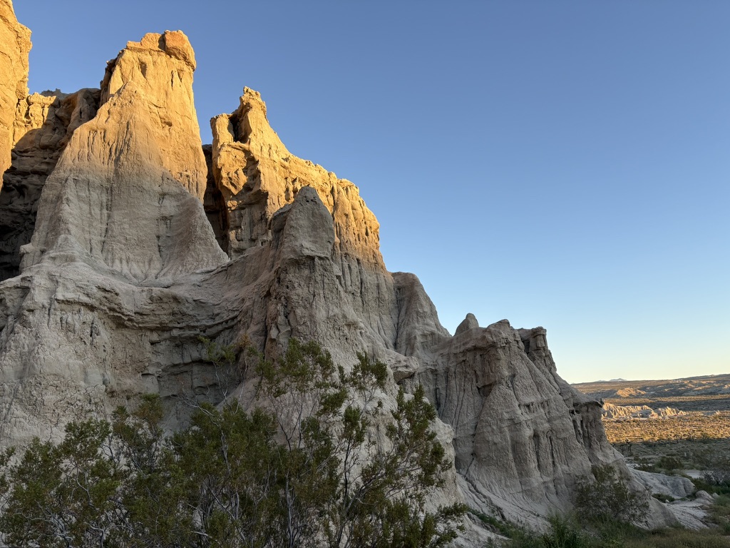
Layne, the Desert Oracle, is kind of a modern day Art Bell, but a bit more “intellectual” and way funnier and much less homespun than Huell.  I’ve taken to playing his episodes for SMAP while camping in the desert.  It gives us the mindset to see UAP’s, formerly known as UFO’s.  You might say, Huell and Ken inspire my curiosity for exploring on the moto.  Kind of flashy, eh?

You can find the podcast at Desert Oracle Radio.

I first learned the story of the Giant Rock and Integratron on the California’s Gold with Huell Howser: Giant Rock episode originally aired in 2001.  More recently both have been featured on Ken Layne’s Desert Oracle Radio Podcast and in his pocketbook publications. 

The Integratron

From Wiki: Van Tassel died, there was a proposal to turn the Integratron into a disco, but that plan was never realized. The Integratron’s new owners operate it as a tourist attraction and offer “sound baths” where groups of people are “exposed to harmonic sound frequencies” produced by quartz bowls, claimed to have a deep calming effect. According to one of the structure’s docents, the Integratron is an “acoustically perfect sound chamber”.

From a desert disco to a sound bath?  While that’s not something you see every day, we bypassed a side pilgrimage to get to our destination near Mecca in the adjacent Colorado Desert.  Rolling through the southern vestiges of the Mojave, Homestead Valley and Yucca Valley, we hopped on to CA-62 through the Morongo Valley exiting onto N Indian Canyon drive to N Palm Springs. You can get a taste of Ken Layne’s enchanting version of this part of our ramble at The Desert Oracle:  Highway 247 Revisited.

South on Dillon Rd we bypassed Palm Springs and Desert Palms winding up in Indio where CA-86 becomes CA-111 and our route to Mecca.  Indio, kind of a Mecca in it’s own way is home to Cycle Garden , “where vintage Moto Guzzi’s are brought to receive a full restoration”.

Fit’s with the whole “restoration” vibe of Palm Springs, I guess. Mecca is more agriculture than the sprawling up-scale desert communities we rambled through to get to Mecca.  Our humble apologies to the citizens of Mecca, the town sits on the down-scale side of the Coachella region.   

After a fuel and provisions stop at the Mecca Arco Travel Center, we made our way to the Salton Sea State Recreational Area Campground  passing California date palm orchards. Quite a departure from the orchards in our neck of the valley. I was surprised that we didn’t see a single Instagram influencer on our route into the Salton Sea.

 
The Salton Sea State Recreation Area, New Campground

Timeline of Salton Sea History

Salton Sea then…
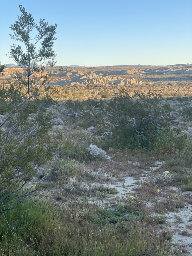
Salton Sea now…  
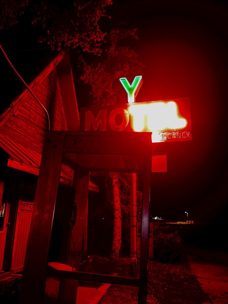
There’s down-side and then there’s way down-side… You either love it or find it unworthy. Even Huell Howser had a hard time with the contradictions of the of the current Salton Sea: Salton Sea with Huell Howser. Maybe that’s why we didn’t see any Instagramers.

I was aware that the Salton sink had been historically flooded by the Colorado River watershed in big snow melt seasons through the eons.  I paid attention to Mr. Lemmon in my Geology class at Merced College.  I was also aware that in 1905 that a temporary diversion of the Colorado River, constructed to replace water from the blocked Imperial canal–an early attempt constructed to irrigate Imperial Valley agriculture– that was breached by floodwaters and that the river, blocked by salt blocks, changed course and flowed unrestrained into Salton Sink. 

Thanks to Mark Arax whose books, The Dreamt Land: Chasing Water and Dust Across California, and his collaboration with Rick Wartzman on The King of California; J.G. Boswell and the Making of a Secret American Empire, along with Mark Reisner’s Cadillac Desert are must reads to better understand the struggle to cope with water issues in the west, particularly, California.

Birth of the current lake, sorry, Sea

In 1907 the Southern Pacific Railroad closed the breach in the river.  Nearly a hundred years later, after 1999, the supply of Colorado River water to the Salton Sea began to significantly decrease.  This reduction was due to improved water efficiency in local agriculture (drip, drip, drip), leading to less runoff entering the lake.  However, increased use of agricultural fertilizer, herbicides, and pesticides have continued to enter the evaporating body adding to the already toxic levels of salinity today.  

To learn more about the troubled history of the Salton Sea check out Timeline of Salton Sea History and to learn how the once thriving beach resort has declined and is attempting a rebound, check out Architecturalafterlife.com. Oh, and Arax’s and Reisner’s books.

Why then, did I select the Salton Sea Recreation Area to camp?  Well, when arranging for campsites in California’s State Parks, availability is cataloged and managed online.  It so happens that there were no campsites available in the five ‘lux’ campgrounds (with water) in the Anza-Borrego Desert State Park proper.  There were another nine primitive campsites available, however, since we aren’t the hard men of our youth, having water available, showers, and flush toilets are as Fred Flinstone primitive as we go these days.  

The irony of the death of the Salton Sea is that the State of California maintains a camping facility and Visitor’s Center that is among the newest and best we’ve camped in.  There is a natural beauty to the setting that one can only imagine with reflection on the basin’s geologic lifespan. We fit into the “love it” category of visitors.

The “lake” has lost almost half of its volume or about 170,000 acre-feet per year since 2000

We’ve toured or camped at several endorheic basins, basins where a river drains into a sink but does not flow out to the sea.  These closed drainage basins feature water that flows into lakes, swamps, or other internal bodies of water.  This water typically leaves the basins through evaporation or agriculture, leading to high mineral concentrations, prohibiting further agriculture, and are often found in desert regions or areas with low rainfall.  Tulare Lake in the valley, Mono Lake, Owens Lake, and Searles Lake on the east side of the Sierra, Badwater in Death Valley and Pyramid and Hawthorn Lakes in Nevada are a few examples of endorheic basins we’ve visited. Sadly, most of these bodies are incapable of sustaining any degree of water quality much less agriculture.  

As of 2024, the Salton Sea salinity is about 60 g/L, which is almost twice that of the Pacific Ocean, at 35 g/L. For reference, fresh water is about 0.2 g/L, 100x less salty. All the salt in the Salton Sea, if extracted and dried, would form a conical pile about a mile across! (Casey Handmer, Salton Sea statistics).  I bet that young fellow from Nazareth could dance much less walk across that water.  Likely, the disciples, who initially mistook him for a ghost, would not have been terrified to see a dancing savior.  Would something like that qualify as a UAP?

The future of the Sea

Recently, lithium extraction has emerged in the Salton Sea which involves mining lithium from the geothermal brine, a hot fluid found beneath the lake bed. This process is seen as a potential way to supply lithium for electric vehicle batteries while also generating geothermal energy, but it raises environmental concerns regarding water use and further pollution.  We could use a savior, dancing or not…

Quite the contrast among agriculture, lithium extraction, recreation, and a dead, man-made lake near Niland that doesn’t look so dreadful in this photo from ecoflight.org

Back to the Ramble…

Our campsite was nestled among some ironwood trees providing relief from the harsh afternoon sun, even though the temperature was comfortably in the low 70s with a nice breeze during the day.  There are 48 RV and tent sites in the Mecca Beach Campground, one of 12 such campgrounds around the sea.  Our section was called the New Camp.  There were maybe six campers evenly divided into small RV’s or tents throughout the dozen campsites.  We were the only moto-campers.  

Across from us was a woman in a nice Casita towable with Texas license plates and her two dogs.  We only saw her twice in two days, each time walking her dogs in the morning and early evening.  The rest of the time she presumably spent in her air conditioned travel trailer enjoying her Starlink reception.  

Another fellow west of us seemed to stay close to his campsite, vigilant, standing alert to any activity in the campground.  He dialed us into where we could get tokens for the showers since there was no machine to convert cash into shower tokens in the immediate shower area.  None of the other showers-for-pay we’ve visited in State Park Campgrounds limit getting tokens between 9:00 am and 3:00 pm a half mile from the showers. 

A common feature of CA-111, just across from our Campsite

Anyway, apparently he’d been there for quite a while and seemed to be a pleasant fellow who spent much of his time between Anza-Borrego and the Salton Sea.  He was but one of the members of the chorus of, “Ya shoulda been here two weeks ago for the bloom.” So far, the bloom was a semi-bust.

An Evening Stroll

Day two was breezy but pleasant.  As the sun was setting, we set off for a stroll on the beach, but what sounded like a boisterous party was taking place on the path to the shore that suddenly quieted as we approached.  The SMAP’s Sketch-o-Meter gave us pause and so we set off for the entrance kiosk to the park to see if there was an external shower token machine.  It was a pleasant token-less walk.

Too warm for a campfire, we nevertheless enjoyed the night sky, our 3R’s conversation, and the occasional train that passed by our campsite, just across Hwy 111.  CA-111 is the route to Brawley from this part of the Imperial Valley along with the settlements along the eastern shore of the Salton Sea.  A chorus of coyotes, from what sounded like just across Hwy 111 from our campsite, was fitting given that Yucca Man, a favorite oddity of the Desert Oracle, didn’t show up to entertain us.  

By the time nite-nite came around, the heretofore pleasant trains and infrequent tractor-trailer traffic both became more numerous and frequent as area produce being hauled throughout the night on the adjacent highway and containers from Pacific ports moved by rail, eastward.  Bummer.  We didn’t see any UAP’s either…

Looking north towards Coachella from Mecca Beach
I have apparently lost my ability to sleep serenaded by trains, having once lived next to BNSF tracks
Just imagine this throughout the night… The Union Pacific Serenade (daytime video by SMAP)

Day 3 – Salton Sea State Recreation Area to Anza-Borrego and Julian Descriptions of Rides in the Anza-Borrego

 Anza-Borrego Loop:  197 miles 

Calthaleaf phacelia in Borrego-Springs at the Sky Art Sculpture Park

For day 3, Wednesday March 4th, I had planned a route to Anza-Borrego that would take us to Julien on CA-78 and back to Borrego Springs on CA-79 and San Felipe and Montezuma Valley Rds. Having never been there, we didn’t know what to expect.  Turns out that once again, we lucked into a great day of riding with much to remember. 

The old saw, luck is when preparation meets opportunity, landed squarely in our circumstances.  I’ve begun using Claude AI to research roads.  Along with Google and Butler Maps (Rever), planning has been made a bit more efficient.  We used only a portion of the AI suggestions on what would have been a much longer day.  We might as well save something for the return trip henceforth…

Sisyphus has a new associate, Claude

That morning, after tracking down tokens for the showers that were available only at the desk in the Visitor’s Center, which was closed before we arrived on Tuesday afternoon, we set off for Borrego Springs and Anza-Borrego Desert State Park in search of wildflowers.  Once again, prolific wildflowers were pretty much a bust. 

However, comfortable morning temperatures and stunning vistas incentivized exploring The Sky Art Sculptures of Borrego Springs.  

As the noonish temperatures rose, we only visited a few of the 130 full sized metal sculptures that roam the Galleta Meadows Estates property nearest the pavement.  The rising temps and unpaved sandy soils leading to many of the prehistoric Ricardo Breceda figures in the Galleta Meadows were more challenging than we wanted to hazard.  As noted, the sculptures compensated for the absence of blooms in the lower elevation Anza-Borrego Wildflower Fields.  Ya should’a been here two weeks ago, was that familiar refrain in town.    

Blan B: Apple pie in Julian…

Who needs a super bloom when you have mastodons, serpents, camels,
and motorcycles blooming from the desert soil

Since rising temperatures caused the collapse of the lower elevation bloom, it was off to Julien.  But not before our next Mexican Restaurant, Los Jiberto’s on Palm Dr in Borrego Springs.  The huevos rancheros were a solid 2nd place on the Sisyphusian Mexican Restaurant Ranking Index (SMRRI) thus far for the Anza-Borrego Ramble.  

Good Mexican food is where you find it… Nice bike!

The Salton Sea is at -236 feet (below sea level).  Badwater in Death Valley, the lowest elevation in North America at -282 feet.  By contrast, Borrego Springs is 597 feet above sea level.  Julian is 4,183 ft above sea level and in those last thousand feet of elevation gain, the Mediterranean chaparral and woodlands bioregion was much cooler than the lower Colorado Desert region. It was nothing compared to the heat warnings issued in the region as I write this after our ramble.

From Borrego Springs we headed out on Borrego Springs Rd to Yaqui Pass Rd that merged onto CA-78 to Julien.  Great twisties and superb pavement up Banner Canyon and virtually cager free.  

Amazing how desert brown turns green with just a little elevation

The plan was to get a slice of the ‘world famous, Julian Pie’ for dinner since our late breakfast at Los Jilberto’s was sustaining us on our ramble into and out of the State Desert Park.   Check out Julian, with Huell Howser.

SMAP has mastered the selfie…
Not bad for a an “anti-influencer” with no social media accounts

From Julian we decided to loop on CA-79 through Santa Ysabel to San Felipe and Montezuma Valley Rd back to Borrego Springs.

Views from Montezuma Valley Rd descending into Borrego Springs
The Borrego Badlands from Fontes Point, courtesy of the interwebs (Too busy riding to stop for photos)

We stopped in Borrego Springs for 3R’s camp beverages and made haste back to the campsite.  We had been living with ourselves for three days on the road and a shower seemed every bit deserving haste.  A stroll to the beach followed rinsing off the grime.

Salt and tallapia bone beach
Where are the visitors?
Who needs a super bloom with astonishing sunsets like this
We preferred the coyote yelps to the trains and 18-wheelers.  The visuals, however, were breathtaking… Or was it the toxic salts we kicked up taking our breath, breathtakingly?

After exhibiting our lame Instagram senior influencer photo skills it was back to camp for a couple of episodes of the Desert Oracle, pausing as each train averaging 5-7 minutes in duration, rolled past.  Sisyphus enjoyed a nice pinot and SMAP enjoyed his Modelo trifecta as we reflected on the day’s ramble hoping to see a UAP.  As usual, we only spotted identifiable aerial phenomena.  We elected to finish off the Fritos in lieu of saving the Julian pies, Dutch Crumble and Classic Apple like Grandma used to make, for breakfast.  

Day 4 – Salton Sea State Recreation Area to Shoshone via Joshua Tree and the Mojave Reserve Itinerary 

New Camp/Salton Sea to Shoshone:  251 mile

Train-rise, AKA, Sunrise over gondola

The day began with a lovely sunrise (despite the train).  Pleasant and cool, not cold, but the clouds that filled the morning sky indicated a change in the weather.  After a fog-lifter and delicious Julian Apple Pie, we began to break down camp as the breeze morphed into a full-blown wind (You like that?).  Fortunately, what little condensation on the tents evaporated quickly. 

Having decided against getting gas returning from Anza-Borrego yesterday, we had to backtrack 11 miles to Mecca, get gas, turn around, and get lost until finally finding Box Canyon Rd that would take us to Cottonwood Springs Rd and Joshua Tree by way of the southern entrance.

Box Canyon is a must ride road
Cottonwood Springs Rd to, well, read the sign…

It was too windy to stop and sight see, except we had to layer up near the entrance to Joshua Tree, as wind whipped temps were quickly dropping uncomfortably as we gained elevation. 

Full Blown Wind

How windy was it?  I walked over to an information kiosk, hoping to shelter from the unrelenting wind, I struggled to zip my quilted vest and rain layer into my mesh jacket.  Always a step-ahead in circumstances like these, SMAP emerged from the double-wide handicap equipped porta-potty where he layered up under his mesh kit to watch the Guzzi nearly tip over as it was buffeted by 40 mph gusts.  I rushed over, jacket and liner flopping wildly to prop up the Guzzi.  

After a harrowing costume refit, we mounted our bikes and set off on the Pinto Basin Rd across the Joshua Tree National Wind Tunnel to the Utah Trail Entrance in Twentynine Palms.  When the direction of the road had the wind at our backs, you’d have no idea of how severe they were.  Blasted by a cross wind, the bike handled like a bronco, intent to buck us buckaroos onto the pavement.  Not wanting to focus on anything but keeping the bike upright, there was something of a blur of yellow along side the road, a bloom, perhaps? Laying the bike down in a formidable gust is not how I’d prefer testing the ATGAT performance.

We arrived in Twentynine Palms, rattled by crossing the park in wind conditions that were even more tumultuous than a trip out of Panamint Springs the year before. On that windswept day, CA-190 south was covered by sand, making the road disappear before our grit-filled eyes.  At least this day we didn’t have to deal with grit and motor homes being blown across the center lines that were invisible… 

Fast food? Not in Twentynine Palms

Our appetites needed pleasing and we didn’t want to waste a minute for a protracted sit-down brunch so we opted for a Subway.  Because I have all of these fancy camera mounts, phone mounts, tank bags, glasses, and caps requiring my attention, I never win the dismounting contest.  So, by the time I entered the shop, SMAP ordered his sandwich and was eating. 

Just prior to my entering the shop, an interesting trio of customers had entered and were ordering their meals. 

 A middle-aged fellow who seemed to be in charge of this crew ordered a Thursday Sub-Club deal.  The nice counter service woman said that the Twentynine Palms Subway didn’t participate in the Sub-Club deal (whereby you basically got one-dollar off of the cost of a 6 in. Thursday Turkey sandwich special).  She then said that for the same regular price of a 6 in. turkey sandwich, you could have the bonus of a fountain drink and bag of chips.  It was Thursday, so it was a Thursday Sandwich special, but not a Thursday Sub-Club deal.

He insisted he didn’t want the drink or chips, but wanted the Sub-Club deal.  The cashier finally convinced him that the Thursday special was a better deal than the Sub-Club deal because the chips and soda amounted to more than the one dollar off Sub-Club deal.  Reluctantly, he went ahead with the transaction, sort of.  After having two credit cards declined, he finally had another patron who was apparently with him, along with the older woman and younger man, who then paid for el jefe’s meal.  About ten minutes had transpired.  I noticed SMAP was nearly done with his sandwich.  

It was then that the older woman who was a member of this group ordered a personal pizza.  Then she asked for a sandwich.  As the patient counter service woman helped her through determining whether she wanted a pizza or a sandwich, the woman insisted on the pizza.  Cheese.  By then she was having an ongoing conversation with no other participant apparent.  It sounds like she was arguing about whether to have a pizza or sandwich. I didn’t know Subway made pizzas.  

Another younger gentleman, though well into his latee 30’s, who appeared to be fashionably attired in skater clothing, also a member of this band, ordered a “sandwich with everything.”  The patient counter service person was able to go through all of the options for ‘a sandwich’ including ‘everything’, item by item.  The fellow answered, “with everything”, each time the woman listed a topping.  This went on for a minute or two because there are lots of toppings at Subway.  Oh, lest we forget bread options. 

He went to pay for his ‘sandwich with everything’ with a credit card but was confused about the use of the reader.  The middle-aged leader of the group then intervened.  He was kind of short with the fellow, grumbling about his inability to use his credit card.  I thought this ironic since minutes earlier he had just had two credit cards declined.  What didn’t he know about how credit cards worked?

By the time I finally ordered the Thursday ‘Not Club’ Special, 6” turkey with iced tea and vinegar chips, and sat down, SMAP was done and ready to exit.  I wolfed down my sandwich listening to the fellow who ordered the sandwich with everything remonstrating about the jalapenos bringing tears to his eyes.

After having spent more time than a seven course Mexican brunch would have required, we finally made our way north through the Sheephole Valley Wilderness in the Mojave Preserve to Amboy, Donald Fagin and Nightflight serenading me.

Amboy

 Fancy (foreground), meets formerly fancy (sign), meets decidedly not (SMAP)

We opted for a brief nalgas stretch and a ‘Gives You Wings’ beverage at Roy’s in Amboy.  If you don’t know about Roy’s I invite you to do your own research by clicking on the link. 

We noticed several motorhomes and smattering of classic cars.  A group of car show enthusiasts were preparing for the upcoming weekend’s Amboy’s Rte. 66 Cruisin’ Car Show | 2026 | Amboy, CA.  The wind was still howling and we wondered about the scale of the show.  

One of the organizers we talked to was excited to share the growing popularity of the show where last year over 300 cars attended, despite the venue being in the middle of the Mojave, 50 miles from Twentynine Palms, 74 miles from Baker, and 80 miles from Barstow.  Our promoter friend traveled 136 miles from his home in Boron.  Here’s a photo of this year’s event from CarCruiseFinder.com.  I didn’t count the cars, so I’m not sure they exceeded last year’s gathering.

Now that’s colorful gathering against the neutral desert backdrop 

We spoke with the owner of the green Pontiac with the roof patina and the raised hood in the lower right part of the photo.  He, his wife, and friend traveled from near Laughlin, Arizona.  I didn’t ask, but I wondered if one of the motor homes was his.  Otherwise it was a bit windy for setting up a tent.  Another YouTuber, Wonderhussy filmed her appearance at this year’s show the day after.   Check it out at Wonderhussy Adventures

From Amboy we crossed the Mojave National Preserve passing Granite Peak, the Kelso Dunes, and the Kelso Depot, on the Kelbaker Rd. (a mash-up of Kelso-Baker) enroute to Baker where crossing under I-15 we stopped for fuel.  Noting the World’s Biggest Thermometer, one of three major attractions in Baker (the other two, Alien Jerky and the Mad Greek Restuarant), it was pegged at a comfortable 74 degrees as we set off on the remaining 56 miles on Death Valley Rd (CA-127) to Shoshone.

Shoshone

After struggling to set up camp in gusting 20 mph winds upon our arrival around 4:00 pm, by sundown, as we strolled into town population 22, the winds died down a bit.  Dinner at the Crowbar is always a treat.  SMAP and Sisyphus love Shoshone Village.  After clicking on that link, I guarantee you that Shoshone’s appeal will find its place on anyone’s bucket list!  

Sisyphus and SMAP, after a lovely dinner at the Crowbar on our way across the street for 3R provisions… We ♥️ Shoshone!

My eyes are red from the desert dryness. We stopped at the Chas. Brown Market to procure our 3R’s beverages and snacks. Pete opted for his usual and I upon the recommendation of the store-keeper, in his sharp navy Chevron shirt, a red blend . A wine that he assured me was “top shelf” though it was on the bottom shelf. The only shelf with wine in the store. Turns out it wasn’t too bad, my expectations somewhat lowered by fatigue.

Hopefully none of those fronds are blown off impaling us in the middle of the night as those gusting wind resumed

A pleasant evening watching the sun fade and the night sky reveal familiar constellations is the cherry-topper despite whatever perceived challenges were on the day that got us here, there, or anywhere on a ramble.  Engaging conversation, hopeful that a UAP might be sighted, followed by a comfortable night’s sleep fittingly concludes a day in the saddle. Even when occasionally interrupted by the mule train, tolerated as the middle of the night stroll reveals an entirely different set of constellations above.  If we’re lucky, a coyote’s yelp can be heard above the rustling of the palm fronds in the night’s soundscape. Perhaps even a shooting star in the periphery whereupon a wish may be granted.

First light and sunrises, sunsets and last light are favorite times of the day on a ramble. The promise of the next day’s ride perhaps topping the previous tickles our imaginations.  Full moon nights are equally enchanting.  What the reflected sunlight off of the moon’s surface does to illuminate the night is equal to a new moon’s revelation of the Milky Way.  Then there are all of the phases in between, each providing its own unique nighttime profile.

“The moon shines bright. In such a night as this,
When the sweet wind did gently kiss the trees
And they did make no noise, in such a night
Troilus methinks mounted the Troyan walls
And sighed his soul toward the Grecian tents,
Where Cressid lay that night.”

The Merchant of Venice (Act 5, Scene 1)

The fronds stayed put for sunrise as SMAP peeks out at our 4th sunrise

At first light I reach for my camera, set up the JetBoil, and await the sunrise.  It’s extraordinarily quiet save for the sounds of awakening birds, a breeze blowing through vegetation, and an occasional jake brake heard from a nearby roadway.   I try to find the best vantage from which to capture those moments when the first rays break the horizon.  Then I let my phone’s camera do the work that I will later savor as an image, reimagined in this blog.  

Day 5 – Shoshone via Death Valley, Panamint Springs, and Walker Pass to Kernville Itinerary

Shoshone to Kernville:  241 miles

First stop just up the road from Shoshone, the Marta Becket Monument
at the Amargosa Opera House in Death Valley Junction

It would not be a desert ramble if we did not pay our respects at the Amargosa Opera House.  It’s only a few miles into the day, if departing, or a few miles remaining, if arriving, from or to Shoshone.  It has become something of a harbinger of a noteworthy day to come or of an evening of gratefulness that our day on the bike would soon take rest, our safe travels completed.

We have apparently missed our opportunity to enjoy the funkiness of a stay at the Amargosa Inn along with the cafe suffering post Covid decline.  I’ve abandoned staying in hotels whose criteria includes see-through, derm-abrasing towels and faux wood paneling.  I was cured on our Santa Fe ramble when in Chama, New Mexico we stayed at the Y Motel. 

Give the Y a try next time you’re in Chama
The ghost of John Muir?
Arriving in Chama, in the rain, late in October 2021, it beat setting up a tent

The Y Motel was a known crash site for Continental Divide Trail hikers. The gentleman above and a fellow hiker emerged from the storm-battered trail that night, claiming the last two rooms along with us.  You can read about our New Mexico ramble at 2021 Fall Moto: Abbey’s Other, On-the-Road Trip, Part 1.

Panamint Springs Resort

Our plan was to have lunch at another favorite desert destination that welcomes motorcyclists.

A destination for motorcyclists who welcome destinations

I’ve written about the “resort” at Panamint Springs in prior blogs.  Panamint Springs is no Furnace Creek Inn.  However, the restaurant is pub-grub solid with quite an array of adult beverages. Like the Chas. Brown in Shoshone, there is a separate store featuring the usual camping essentials and some interesting gems and of course tee shirts and caps.  There are a few casitas and yurts in the campground for the less hearty visitors and a rocky campground for other, heartier visitors. Of importance, Panamint Springs has the only petrol between Stovepipe Wells and Trona or Lone Pine.  

There were two other ramblers, one on a KTM 790 and the other on a Tenere 700 seated at the porch of the restaurant dining alfresco.  After placing our order inside we made our way to an adjacent table and engaged in the usual banter about where we’re headed, where we’ve been, how long we have been out. 

When we mentioned that we had visited the Salton Sea a few days earlier, the KTM owner chimed in with a story that his great, great, great uncle was Kit Carson.  He went on to say G, G, G, U Kit had written in his diary (that KTM guy’s family possessed) that he and a pioneering party led by Carson had trekked across the dry desert playa of the Salton Sink en route to Los Angeles.  This was before the Colorado River breach.  KTM guy then alleged that upon his return east, Carson’s party was disoriented because there was now a sea where before there was only desert causing them to wander aimlessly for days.  

Frauds, like good Mexican cuisine, is were you find them

I immediately began to question the validity of his story.  First of all because I knew that Kit Carson often exaggerated versions of his exploits where many became the subject of dime novels in his lifetime.  Maybe the KTM guy mistook his great, great, great, Uncle’s diary for dime novels as his primary source?

I am an avid reader of California history and the history of the West.  I noted earlier in this piece that the present Salton Sea formed in 1905 when the Colorado River flooded the basin, the result of botched flood control.  I also knew that before the Salton Sea, Lake Cahuilla, its Salton Sea predecessor routinely formed in the sink.  I read that on a kiosk at the Salton Sea campground.  The last significant filling of Lake Cahuilla occurred around 1733.  By the early 1800s, the lake had already begun to dry up, with historical accounts indicating that it was likely dry by the time of Juan Bautista de Anza’s expedition in 1774.

Here’s my rub with the pompous KTM blowhard dispensing dubious historical claims on a resort porch:  Kit Carson lived from 1809 to 1868, and in between 1846 and 1848 he visited southern California guiding military and delivering important messages.  That is in the historical record.  Also in the historical record, neither Lake Cahuilla or the Salton Sea was in existence during Kit Carson’s lifetime.  The bloke on the Tenere, blowhard’s partner, must leave his ear plugs in to preserve his sanity.

Call me a skeptic.  If it sounds too suspicious to be true, it’s likely untrue, unless proven otherwise.  Drop the mic!

6 Days into War in Iran

Our tanks were showing two bars and so we decided to pay $6.18/gal for premium (flashy Moto Guzzi drinks champagne), rather than make our way south on CA-190 to Trona for 51 miles that we would easily be able to do with those two bars.  In Trona I would have paid $5.25/gal of premium.  SMAP’s decidedly not flashy Suzuki uses pedestrian grade, in Trona for $4.87/gal.  Add a dollar more to each since February 28… I’m a better skeptical historian than I am skeptical of the accuracy of my fuel gauge.  

From CA-190 that passes in front of the Trona High School, we were shocked to see it appeared to have been demolished. This is school whose football and baseball fields were turf-free sandlots. You had to be gritty to play football or baseball in Trona. We later learned that The Searles Valley Mineral Company that mined trona, a mineral that is a source of sodium carbonate, also known as soda ash at Searles Lake across the highway was in the process of closing. It appeared that the town was not far behind.

Soda ash is used in various industries, including glass manufacturing, detergents, and chemical processing. It seems that the Chinese have cornered the soda ash market too. The plant is closing and so massive layoffs have occurred. 

Trona seems to have bad Karma. The town was heavily impacted by a series of earthquakes seven years ago.  One of our favorite Mexican Restaurants, Esparza’s, (a solid 2nd place on the SMRRI tied with Escobar’s in Kanab, UT) occupied the old Trona movie theater that was condemned following the earthquake.  The restaurant relocated on Hwy 190 not far from where we stopped for a nalgas break.  The future doesn’t look too bright for Trona, likely the next Eastern Sierra ghost town. 

Giving the nalgas a break and throwing back a sugar-free Redbull (Ha!  Sugar free, like the other soylent green chemicals in the can, are less harmful?)  I’m sure we paid as much per unit for the Redbull as a gallon of gas would cost us.

Bob-Phil

Finishing up acquiring RB wings, SMAP noticed there was another Moto Guzzi that had just pulled up to the TIS gas station and General Store.  The rider, who we acknowledged, was wearing a full Aerostich one-piece suit with a BMW Club patch sewn onto the chest.  After exchanging amazement that we both had run into one another on a motorcycle that is rarely seen, in of all places, Trona, he went into the General Store for some Chester’s Fried Chicken. A full Aerostitch suit is also a rarity.

Bob Phil’s V85TT, proving once again the discordance of books and their covers

When he emerged, the conversation arose about how his 2020 Moto Guzzi V85TT and my 2022 version were similar and different.  He was on his way to a BMW meet-up in Death Valley which made sense as we had seen dozens of BMW ADV bikes on the roadways since the Salton Sea. 

Phil, who first introduced himself as Bob, shed the full Aerostich suit with a BMW Club patch stitched on the chest.  It seemed to me to fit this character whose hand I shook, as I stated my name, to which he replied Bob, assuming that was his, who was going to a BMW meetup in Death Valley on a Moto Guzzi.  

He then went on to share his harrowing incident having taken Bowman Rd, a dirt shortcut from CA-14 to CA-178 in Ridgecrest. His character fit again was seamless, like the panels in his Aerostitch outfit.  It seems that he hit deep sand in a wash and dropped his bike trapped beneath its considerable weight.  Fortunately a fellow short-cutter in a pick-up came along and together they dug him out of the sand, righted his Moto Guzzi, and were able to paddle-push it across the wash.  Remarkably without injury. No doubt it had something to do with the Aerostitch suit.  Maybe the BMW patch was responsible in some heeby-jeeby way for the Moto Guzzi fail?  

More Bob-Phil character:  As he’s manhandling a fried chicken thigh, gnashing on the tendons, he asks for me to start my bike to listen to the transverse cylinder exhaust grunt to compare to his modified exhaust.  After listening to the jaguar-like growl of my bike, he went to start his bike, for comparison sake, and nothing.  Had that been me, I would have cursed as panic would be welling up.  For Bob-Phil, he calmly inspected the side stand noting that in the accidental wash-drop, the kill switch feature that won’t allow the bike to start with the kickstand down while the bike is in gear, must be malfunctioning.  

After putting it on the centerstand, he remarked that he had a friend in Death Valley at the rally who could rescue him or his girlfriend back in Pismo Beach, also a rider, could bring their moto-trailer out to pick up the bike.  Key on, ignition switch engaged, and the Guzzi came alive!  His diagnosis of the side stand, confirmed. 

A small, but enthusiastic, cheer went up by the small group who had assembled.  Just then a scruffy looking desert rat in a bright pink pair of pants, pink shirt, pink shoes walks by with pink sun baked complexion, completely oblivious. As he departed, he looked somewhat disgruntled at this group gathered around the entrance to the General Store. I didn’t think we looked that sketchy.

Without a pause, Bob-Phil looks at him then looks at us and shugs.  Character?  Heck, he’s an Oracle!

SoCal Biker Dudes, crowding around SMAP’s vintage bike photos and Moto Guzzi Bob-Phil
on the left and yes, that’s me pointing to him

As all of this was happening, a group of four guys who were fueling up their pick-up, noticed the two Guzzis.  They were as amazed as we were to encounter two same model, different year, flashy Italian bikes in Trona.  SMAP, on his ‘decidedly not’ flashy Suzuki, sensing that all of the attention was going to the bewitching Italian beauties, whips out his phone to distract the chopper dudes with photos of his seventies era Harley Sportster and sixties Triumph Bonneville he once owned.  Like moths to a flame, they huddled around SMAP, oohing and awing.  

Bad to the bone
SMAP OBH (Original Bonneville Hipster)
Check out his Chucks

Once the chopper guys reacting like Harley guys regained consciousness, they introduced themselves as chopper guys from LA who were taking their friend, a fellow chopper guy from Japan, on a tour of Death Valley.  Like us they assumed some sort of motorcycle event was taking place conscious of the number of motorcycles heading in the same direction. One of the dudes explained that their Japanese friend didn’t speak English and none of them spoke Japanese.  

Motospeak, the universal language

The Japanese guy and I had a conversation, of sorts.  He uttered, “I no speak, English,” “They no speak, Japanese,”  “We love motocycle,” “All you need”.

With that and a fist bump, the Japanese chopper guy’s t-shirt back, emblazoned with “Real Life, Real Culture,” made all of the sense in the world!All of this at the TIS General Store and Gas station in Trona, CA… This could have been a scene right out of Baghdad Cafe.  Well, maybe the sequel…

As we parted company, I gave Bob-Phil my Sisyphus and Associates card with contact information.  We had talked about the Moto Guzzi National Owners Club rally calendar.  He said he’d get information about an upcoming event in Nevada out to me.  He was as dedicated to the Guzzi as the BMW.  Perhaps if we meet at some future Guzzi rally, I can buy him a Moto Guzzi patch for the Aerostitch suit.  Perhaps to neutralize the bad BMW patch juju.  

Before getting on the bikes to head to Kernville, I asked him which was it?  Was it Bob?  “No, I’m Phil.”  He looked puzzled. 

I said, “But when I introduced myself, you replied Bob.”  Once again, Phil looked at me and shrugged.  

I did get an email (evidence of his real name) from Phil:  

Subject: Hi from Phil. You met in trona

From: Miki Dora <philterez@gmail.com>

Tue, Mar 10, 2:39 PM 

to: me

https://www.mgnoc.com/rally_calendar.html

Info on mg rally. Hope you had a great ride home. I had a great ride and rally with all the guys at the death Valley rally. The lowest the oldest, the windiest and the dustiest Bmw rally.

His name may be Phil, but “You met in Trona” from Miki Dora? That Miki Dora? <philterez@gmail.com>, continues to elevate the mysterious Oracle, Bob, Phil, and/or Miki from Trona…

Onward to the Kern River Canyon

My head was swimming either from the Redbull wings or the tableau that had just occurred.  Without getting turned around in Ridgecrest we continued on CA-14 to CA-178 over Walker Pass.  Only a few wildflowers were in bloom on the south facing slopes up the pass. Taking the Sierra Way Rd, a back entrance into Kernville, was unexpected as the road had been closed for years as a bridge over the South Fork of the Kern, just outside of town, was being repaired.  

We recommend the Rivernook… Sisyphus needs to construct a campground ranking index, (SCGRI)

We rolled into the Rivernook Campground, and were met by a welcoming staff member who, after exchanging our deep mutual regard for Australian Cattle Dogs, gave us several options about where to pitch our tents.  SMAP and I settled on a riverside campsite. We setup then headed into town for grub at the Kernville Brewing Company.  SMAP ordered a classic Greek salad and I opted for a Tuscan salad, both were delicious with toothsome ingredients.

It’s Kernville Brewing afterall…
Stars and the lanterns of our neighbors

After our only campfire on this ramble and the usual 3R’s, we tucked in for the night, sweetly serenaded by the Kern River, awakening to a frosty Saturday morning.  

I often think of the journey of a snowflake when I experience a sunrise from a riverbank…

You should be accustomed to our preference of Fritos as an accompagnement to the 3R’s.  Crunchy, salty, and palate cleansing, Fritos help make the medicine go down.

Speaking of Fritos, we awakened at first light to a couple of ravens arguing about something.  It appears that ravens have the same taste as do we. 

They didn’t bother to leave anything to accompany our morning foglifters
In Cambria, it was racoons who took advantage of our inattention

Day 6: –  Homeward Bound to Merced  

Kernville to Merced via Sierra Foothills: 253 miles

Kernville to Merced via the Eastside: 228 miles

We packed up and got underway for the final leg of the Anza-Borrego, Salton Sea Ramble.  Our intent was to take CA-155 into Porterville by way of Sierra Alta.  After about a half-mile on Evans Rd west of Wofford Heights, just after our comms fritzed, I spotted a road closed ahead sign ahead. SMAP, who can spot a heron on the side of the road at 75 mph, or a Harley flathead from across the median on an interstate, apparently missed the sign.  The Cardo’s weren’t working, but since he lost me in his rear view, he turned around.  We then opted for the following route, now inspired as that would take us through Terra Bella:  Kernville to Merced via Terra Bella: 267 miles.

When nothing is better than Chef Boyardee

This was a back-track through Oildale by way of Hart Memorial Park where at the entrance we stopped at a Mobile station for a snack.  I had a customary Redbull (sugar-free) and SMAP, famished at this hour having worked our way through the Kern River Canyon twisties (sans Fritos) came out of the mini-mart with a can of Chef Boyardee Ravioli.  We motored on to the public restrooms in the park because once again, having asked if there was a restroom available, the brusque proprietor admonished us for asking, hastily adding that the restrooms were out of order just as he had in twice, in previous patronages to his station.   

I was not allowed to document the ravioli scarf

No Fritos, but salted sunflower seeds paired nicely with my sugar-free Redbull.  SMAP was not proud of eating Chef Boyardee Ravioli, cold, out of the can.  But, that’s how to handle a hungry man decidedly not interested in culinary propriety.   

Welcome to Flavortown, Terra Bella

You might ask, what’s so interesting about Terra Bella?  Earlier I noted the Sisyphusian Mexican Restaurant Ranking Index or SMRRI.  It just so happens that we discovered what appeared to be David vs Goliath across from one another on Terra Bella Avenue:  Amigo’s Restaurant and the enormous Seaton Farms Pistachio Processing Facility.  We had stopped there on a previous desert ramble for our typical mid-day meal, the one big meal of the day that would only later be supplemented by Fritos.  It was off-season for pistachio processing so the Goliath lay slumbering across the road, hardly noticed.

SMAP and I agree that Amigo’s is not only the first place finisher on this ramble’s SMRRI, but may well be, the highest ever gold-medal-ranking, podium-summit restaurant on the SMRRI–well, since Roberto’s in Taos closed.  A silver medal tie goes to Escobar’s Mexican Restaurant in Kanab Utah and Esparza’s in Trona. 

When we first spoke with the waitress (co-owner) recalling our previous visit a couple of years back and the outstanding hand made corn tortillas we had at the time, she claimed to remember us.  After going over the menu, SMAP ordered the carnitas enchiladas with green sauce, and I the chili rellenos topped with chili verde both served with rice, beans, and corn tortillas as recommended by our gracious server. 

Inspired by watching so many episodes of Pati’s Mexican Table, I asked her about the regional influence of the deliciously rendered recipes. She replied that they derive from Tijuana, and it’s all about the preparation of good ingredients that combine to make the flavors so unctuous and satisfying. 

Not flashy, but oooohh soooo gooood!

The wooden flags on either side of the door were made by patrons of the restaurant. Through the door at the back is the patio where the Tuesday and Friday buffet takes place  

if Guy Fieri ever decides to do a Restaurantes, Autocines y Buceos version of Triple D,
Amigo’s is a must visit!

Zagging and zigging on CA-65 through almond, pistachio, citrus, and olive orchards and the myriad small agricultural communities each about seven miles apart, we zigged and zagged even more to our next stop in Friant.  

Fortunately the comms and map apps were working flawlessly

After a quick fuel stop and nalgas relief in Friant we ended our ride, safe at home, in the loving embrace of our families with memories of yet another ramble that takes its place on the mantle that if ever asked, “So, what’s the favorite ramble Sisyphus and your Associate, SMAP have taken?”   Our reply, “The next one…”  

Thanks Bair, for the advice http://www.whereisbaer.com/

The Mighty Kern River

Epilogue

Just a few days after our return, I spotted this in the news:  Train Crash Near Salton Sea

On March 19, approximately 20 Union Pacific railcars carrying 40 containers jumped the tracks near Parkside Drive and Highway 111 in the Mecca-North Shore area of the Salton Sea.  The location of the derailment was virtually across from the entrance to where we pitched our tents at the New Camp Campground about a quarter mile away.  Trains would lay on their horns approaching the Parkside Dr. intersection throughout our stay.  So much for your Prime two-day shipping…

.  

2025 Ruby Mountains Ramble

September 2025

What does a lost wallet, Coors Light, more cows than people, and Theodore Douglas Willer have to do with an epic adventure?

Lemoille Canyon

I, as SisyphusDW7 (my nom de plume), posted Chasing the Perseid’s; An August 2025 Ramble in the Sierra. The ride was a warmup for our fourth ramble of 2025 as we plotted a seven day, six night tour of the Ruby Mountains in Northeastern Nevada.  

With a taste of the billions of galaxies filled with billions of stars as viewed from the Sierra, I figured there was at least as much to view in northeastern Nevada, notwithstanding a full moon, and so the plan to ramble to the Ruby Mountains began to take shape.  

Sisyphus was aboard Bella Rossa, a Moto Guzzi V-85TT and his associate Pete was on his Suzuki V-Strom.  Pete’s not as romantic as Sisyphus and so his moto is nameless.  His imagination an appetite makes up for any other deficiencies.

We packed up and departed on September 7 venturing forth on CA-140/CA-120 bound for a Sierra crossing at Tioga Pass.  I’ll use excerpts from the itinerary to introduce the daily “chapters” of the ramble.

Day 1 / Sunday Sept 7 – Merced to Fallon, NV

Merced to Fallon, NV ~284 miles

  • From US-395 take CA-182 (Sweetwater Rd) in Bridgeport to NV-338 to junction with NV-208 near Smith Valley to the junction of NV-208/NV-339.
  • Continue on NV-339 through Yerington to the junction with US-95 to Silver Springs.  
  • From Silver Springs, ~26 miles to Fallon on US-50
  • Reservation at the Super8 by Wyndham  

Tioga Pass or CA-120 is a familiar Sierra crossing.  Along with Sonora Pass (CA-108), Sherman Pass (Forest Rte 22S05), and Walker Pass (CA-178) we have seasonal options.  In winter Tioga, Sonora, Sherman Passes are closed with the first winter storms.  Walker Pass in Kern County will occasionally close in winter due to snow and regardless of weather, it beats crossing the summit in Tehachapi (CA-58) which is a major commerce route from Bakersfield to the Mojave, US-395, and Interstates 15 to Las Vegas and and I-40, the offspring of Route 66, The Mother Road, all featured in previous rambles on my blog, sisyphusdw7.com .

The Mother Road from a past ramble
Tioga Pass and Lee Vining Canyon en route to the Ruby Mountains

The vistas up Tioga Pass were somewhat obscured by smoke from wildfires burning in the Western Sierra that resulted from recent monsoonal lightning strikes.  Since the fall colors were only beginning to show, there was no great disappointment on what nature had wrought by way of wildfires compromising the views.

We stopped at the Mono Basin Scenic Area Visitor’s Center on our route along CA-395 to Bridgeport to “de-layer” as the cooler temps at elevation gave way to the late summer heat on the East Side of the Sierra.  The smoke gave a muted hue to the otherwise clear skies. 

Muted skies from the parking lot at the Mono Basin Scenic Area Visitor Center
Un-Muted skies from the Mono Basin Scenic Area Visitors Center Overlook 
(How did they do that?)

Once in Bridgeport we took CA-182, Sweetwater Rd north, crossing the CA-NV border where the road became NV-338 following tributaries to the Walker River to Smith Valley then NV-208 & 339 to Yerington where we fueled up at my favorite petrol shop.  Loves me the Dino. 

Dino Love

Passing the Anaconda Open Pit Copper Mine on Alt US-95 from Yerington following tributaries of the Carson River through dairies and onion fields, we then headed east passing the Lahontan State Recreation Area on the Lincoln Highway, US-50.  Soon we reached our destination for Day 1, Fallon Nevada.  

Fallon is known for being home to Naval Air Station Fallon.  Built in 1942, is located southeast of the city center.  Since 1996, NAS Fallon has been home to the U.S. Navy’s Navy Fighter Weapons School (popularly known as TOPGUN), using several flight training areas and practice ranges in the area.  

In 1963 there was an underground nuclear test known as Project Shoal that took place ~30 miles from Fallon.

I’m no hydrologist, but it seems planting onions in soil irrigated from ground and surface water from a nearby Superfund open pit copper mine or detonating a nuclear bomb in the middle of the potentiometric ground water surface near Fallon was potentially, well, I’ll let you consider the implications*.  It’s kind of how Nevada does environmental things. Needless to say, we drank bottled water while in Nevada.  

*Did I mention I once submitted ten puns to a contest to see which one would win.  No pun in ten did… Well what did you expect?

I chose Fallon for our Day 1 destination, not because of fighter jets, or radioactive water but for the D = ST (distance = speed × time) calculus essential to motorcycles.  Its location on the Lincoln Highway, the first transcontinental thoroughfare,  passes through Fallon from east to west (and vice versa), following the original Pony Express trail.  Today it is designated U.S. Highway 50, and eastward from Fallon is popularly known as The Loneliest Road in America, as it passes through only two towns (Austin and Eureka) and one small city (Ely) between Fallon and the Utah state line, over 400 miles distant.  

Hence, lodging options between our destinations for Days 2-4 were limited.  

Moonrise over the Super 8 and Bonanza Casino by Wyndham Fallon 
Pete and I concluded the blue sphere above the moon was an alien mothership
3 R’s smoke free Fallon Style

Day 2 / Monday, Sept 8  – Fallon, NV to Elko/Spring Creek, NV and the South Fork Recreation Area 

Fallon to Elko and South Fork Rec Area ~338 miles  

  • US-50 through Austin to NV-278 N to US-80 at Carlin to Elko (~24 miles).  
  • NV-227/NV-228 to the South Fork Recreation Area (~16 miles from Elko). 
  • Nevada State Parks South Fork State Recreation Area – East Campground – RV or Tent with E Utilities 
  • Confirmation Number: 1057754  Camp host, Theodore (Ted) Douglas Willer Arrive: Mon 09/08/2025 – Depart: Thu 09/11/2025 (3 nights Site 5 #1057754 reserved 9/8-9/11)
  •  Get Supplies in Elko or Spring Creek.

A long day in the saddle, we rode past the Saloon and Shoe Tree at Middlegate and turned off of US-50 on a route we discovered on a previous trip to Austin, (Austin Nevada that is…) on NV-722/2 that took us through the ghost town of Eastgate.  

US-50 art or artifice?
Looking west from East Gate Station aka Gibraltar Gate on NV-722
Eastgate Station, now
East Gate Station, then (image scrubbed from the interwebs)

From Nevada Expeditions: First called Gibraltar Gate, Eastgate was named by Captain James Simpson in the same manner as nearby Middlegate and Westgate. While it never served the Pony Express like the other two ‘gates’, a station and vegetable garden were located here by the Overland Stage and later sold to George S. Williams about 1876. A tufa-block home was built in 1879, leading to the place being known sometimes as “White Rock House”. In 1908, the current tufa-block home was erected. With the formation of the Lincoln Highway in 1913, Eastgate’s importance grew as a new store and gas station were established to service travelers. It probably lasted until around 1967 when the highway was rerouted, bypassing Eastgate completely.   And just like that, Eastgate’s fate, like those along the Mother Road, was determined by a highway realignment.

For a deeper dive into Eastgate and Carroll Summit Stations in Nevada, check out the YouTube video by Two Guys in the Middle of Nowhere The Ghost Town of Eastgate Nevada.

A fuel, nalgas relief, and snack stop in Austin found us eastbound to Eureka where we departed US-50 north on NV-278 enroute to Carlin through arid landscapes interrupted by alfalfa fields quenched by Pine Creek and the Humboldt River.  From Carlin, it was a short leg on I-80 to Elko through the Carlin Tunnel.

Interstate 80 and the shortest distance between two points

The Carlin Tunnel is a collective name for a set of four tunnel bores in the Humboldt River’s Carlin Canyon, east of Carlin in Elko County, Nevada, United States. Currently, two of the bores carry Interstate 80, while the other two bores carry Union Pacific Railroad’s Overland Route and Central Corridor.

The South Fork State Recreation Area Campground

Zipping through Elko we made our way to Spring Creek and our home for the next three nights on the South Fork of the Humboldt River known as the South Fork State Recreation Area. 

From there we would explore the Ruby Mountains, Secret Pass and the Hastings Cutoff on the historic California Trail, the Ruby Valley, Jiggs, and the Owyhee River, Wild Horse, Mountain City and Owyhee on the Nevada side of the border with Idaho.  

Upon our arrival, within minutes, the camp host, Ted (Theodore Douglas Willer), introduced himself.  When Pete asked where we could get a cold beer, Ted retreated to his mobile abode and produced a pair of Coors Lights.  He explained that he no longer drinks and some fellows on motorcycles had left him an unsolicited tip that he decided would purchase a twelve pack of beer for just this circumstance:  Two parched blokes having ridden hard to reach camp as the sun was setting.  

It only got better from there.  Ted also recommended we switch our campsite reserved on the interwebs for one that was more accommodating for two tents and two bikes.  

Ted was a fascinating character.  A native of Northern Nevada, he had spent his working years in mining, ending his career at the Jerritt Canyon Gold mine.  A true outdoorsman, Ted hunted, fished, backpacked, snow-mobiled, and dirtbiked all throughout the wilderness of Northern Nevada. As a reference for two “born to be mild” adventurers, his local knowledge was gold.  

After touring the facilities that included hot showers and flush toilets, we were quite impressed as Nevada continued regaling us with parks the likes of Kershaw-Ryan State Park in Caliente, and Red Rock Canyon near Lost Wages, NV, with modern, clean, and well maintained accommodations.  In addition to cold beers, we even had electricity at our site!

Sunset at the South Fork State Recreation Area
Camp Sisyphus and Associate

Day 3 / Tuesday, Sept 9 – South Fork Recreation Area to Lemoille Canyon Scenic Byway, Secret Pass, Arthur, Ruby Valley, & Jiggs Loop

Lamoille, Halleck, Arthur, Ruby Valley Loop ~132 miles

  • From the Lamoille Scenic Byway, return to Lemoille and take Crossroads and Clubine Rds to Ft. Halleck marker (dirt).  
  • Continue on dirt to paved NV-229 at Poverty Gulch.
  • At the junction of NV-229 dirt road, head south to Ruby Valley to the junction with NF-113/Old Harrison Pass Rd (dirt). 
  • West on NF-113 to the junction with NV-228 (paved) to Jiggs and NV-228 back to the South Fork Recreation Area campgrounds.
  • Get supplies in Spring Creek.

Our intent for the day’s ramble was to explore the Ruby Mountains.   The range reaches a maximum elevation of 11,387 feet on the summit of Ruby Dome. 

To the north is Secret Pass, part of the historic Hasting Cutoff, and the East Humboldt Range.  From there the Rubies run south-southwest for about 80 miles. To the east lies Ruby Valley, and to the west lie Huntington and Lamoille Valleys. It’s alleged that the mountain range was named after the garnets found by early explorers. 

The central core of the range shows extensive evidence of glaciation during recent ice ages, including U-shaped canyons, moraines, hanging valleys, and steeply carved granite mountains, cliffs, and cirques.

Pre-sunrise view of blossoming sage and the Ruby’s
The view east of the Ruby’s from our campsite with the park HQ in the foreground 
and Ruby Dome towering in the background
The Lemoille Canyon Scenic Byway, entering Lemoille Canyon
Classic glaciated amphitheater in Right Fork Canyon
Glacial cirques

Having gone over the route with Ted, our camp host, a virtual guide with extensive knowledge of the local terrain, we felt confident that what amounted to our longest stretch on gravel was doable.  The route took us into Lemoille Canyon following Lemoille Creek.  An out-and-back then took us through the village of Lemoille where we met the first 18 miles of gravel road leading to NV-229 and Secret Pass into Ruby Valley.  

The Donner Party passed through the southern end of the valley in 1846, heading for the Overland Pass route across the Ruby Mountains – part of the Hastings Cutoff.  A sentence in Hastings’ guidebook briefly describes the cutoff:

The most direct route, for the California emigrants, would be to leave the Oregon route, about two hundred miles east from Fort Hall; thence bearing West Southwest, to the Salt Lake; and thence continuing down to the bay of St. Francisco, by the route just described.

The cutoff left the Oregon Trail at Fort Bridger in Wyoming, passed through the Wasatch Range, across the Great Salt Lake Desert, an 80-mile nearly water-less drive, looped around the Ruby Mountains, and rejoined the California Trail about seven miles west of modern Elko (also Emigrant Pass).  
For a detailed account of the route, see Salt & Snow Lansford W. Hastings the Donner Party and the Haste to Blame by Eugene R. Hart, a friend and colleague, for a well researched history of the Donner Party’s ill-fated route on the California Trail.

What did Hastings cut off?

The next 50 miles of pavement on NV-229 took us through the small unincorporated community of Arthur to the junction with NV-767.  

Ranching is the main economic activity in Arthur and the Ruby Valley in general. Most of the ranches have remained in the same families for generations.  

Cattle outnumbered humans by 10,000x 
The Long Lonesome Ruby Valley Road

There weren’t may vehicles on the road, but there was infrastructure.

I don’t think Pete was doing what it looks like he was doing

At its south end lies the Ruby Lake National Wildlife Refuge. The valley includes a series of hot springs, known as Ruby Valley Hot Springs, with multiple pools reaching up to 30 feet in diameter and 100 degrees Fahrenheit in temperature.I

NV-229 passes along the northeast edge of the valley, and Ruby Valley Road (NV-767) runs along its western edge. 

Our next dirt section was Harrison Pass Road (CR-718) for 14 miles crossing the Ruby Mountains near the center of the valley at an elevation of 7,247 feet . Much of the floor of Ruby Valley lies at elevations near 6,000 feet. 

Franklin Lake looking Southeast (photo credit:  Wiki)

At the entry to Harrison Pass Rd we encountered a local rancher and his wife. Perhaps perceiving our born to be mild countenance, they cautioned us about being on point because Harrison Pass Rd is a popular 4-wheel drive road on which speeding vehicles and tight blind curves with sandy washes that can be treacherous.

Fortunately we didn’t encounter any speeding side-by-sides or other ATV’s but the sandy road conditions made for a squirrelly crossing.

We reached pavement on NV-228 that took us through the small unincorporated community of Jiggs.  In addition to the Jiggs School and Skelton Hotel, two historic buildings from the early 1900’s, there’s the Jiggs Bar, which we regrettably didn’t stop to visit. 

Jiggs schoolhouse on the left
The Skelton Hotel
It’ll just have to wait for our next trip to the Rubys.  Cheers!

The town was featured in a 1965 Volkswagen advertising campaign in which the entire population (5 adults, 4 children and a dog) was shown comfortably seated inside a VW Bus. 

Grandma doesn’t look to be having much fun

Upon returning to the campground, Ted met us with two cold Coors Lights.  In exchange, we offered our enthusiastic reflections on the day’s ride that he had recommended before heading into Spring Creek for bites and beverages.

Another sublime sunset looking west

For a visual record (with soothing soundscapes) of our Ruby Mountain Ramble, check out the video from our day of cattle, canyons, passes, and dirt roads:

Lemoille Canyon and The Ruby Mountains Ramble

Followed by a sublime moonrise over the Ruby’s

Day 4 / Wednesday, Sept 10 – South Fork Recreation Area to Owyhee and back  

South Fork Rec Area to Owyhee Loop ~236 miles

  • From the campgrounds, NV-225 N to Owyhee through Wild Horse and Mountain City, then NV-226 S back to Elko 
  • Lunch at The Star Basque Restaurant and beverages in Spring Creek.  
  • Return to the South Fork Recreation Area campground 

Weather was our consideration for how to approach our ramble to Owyhee on this our fourth day of adventure.  Consulting with Ted we decided to forgo a dirt section that would take us through the Duck Valley Reservation on NV-226 that might be iffy in the rain that was forecast for the afternoon.  Remember, we were born to be mild, having outgrown the wild birth stage of our lives…

It’s perhaps a shame that I didn’t break out the GoPro for yet another view of the road from my handlebars.  I figured the Ruby Mountain Ramble video was enough of mile-after-mile of monotonous, but at times breathtaking, scenery.  And, if you’re not a music nerd, there probably aren’t enough of dramatic cinematic dopamine triggers keep you engaged. That and I don’t own a drone. So the few still photos we took will have to give you some perspective of the landscapes. 

The Owyhee River near the Wild Horse Crossing campground
Volcanic remnant off of NV-225 looking northwest  
Yep, born to be wild horses
Wild Horse State Recreation Area

Not much to see in Owyhee, a small reservation town on the vast volcanic lava flow plain. After a stop for a snack and some nalgas relief, we turned tail to make our way back to the South Fork Recreation campground, but not before stopping for a water bottle leak in Pete’s top case, absorbed by the roll of Scott Shop Towels he always carries and a few interesting sites along the road.

A pioneer’s cabin across from Four Mile Creek, a tributary to
the North Fork of the Humboldt River, on NV-225
Peek-a-boo
Back at’cha
The Independence Range whose watershed irrigates the foreground pastures

I have mentioned in prior blogs my associate, Pete’s, heritage.  He’s Basque by way of his father.  Nevada is renowned for its Basque population, especially in the Elko area so naturally we sought out the best Basque restaurant in town, The Star.  

As with many Basque restaurants, there was usually lodging associated with the family dining area to accommodate migrant shepherds attending to herds of sheep and this was true of The Star.  We had a wonderful lunch including a Picon Punch I first learned about in Los Banos, near our home in Merced, at the Woolgrowers. According to 23andMe, I have just under 1% Basque heritage myself (that is likely attributed to my promiscuous Neanderthal ancestors).

The of the scenes of what would become a frenzied search for a lost wallet…

Making our way to the campground south of Elko, we stopped for fuel in Spring Creek, a suburb of the growing Elko population and our commercial base of operations where fuel, both fossil and fermented, were acquired.  

As I pulled up to the pump and executed the fueling ritual of removing gloves, removing the tank bag, inserting the key into the cap, and reaching for my wallet, I realized it wasn’t nestled in its customary chest pocket.  

Needless to say, panic struck!  I’m on the road in the middle of a seven day ramble and have lost my wallet somewhere during the day. I last remember using my credit card to purchase fuel at the very same Sinclair gas station that morning. I naively thought to inquire at the station’s convenience store if anyone had turned in a wallet. 

The disinterested cashier yelled across the store to another employee who mumbled something and said there was nothing in a basket resembling a wallet.  

After I paid for the fuel with cash and was given $4 and change, I asked, “So you think I can make it back to California on four bucks?”

She replied, “You’re screwed.  Look around.  Do you think someone would turn in a wallet?”

I should have known better.  This is the only Sinclair station we had stopped at that didn’t have a Dino.  There was a pad for the Dino.  Apparently Dino had been abducted.   This did not ensure confidence.

I dialed the Star restaurant and a bit more reassuringly the attentive staff remembered us and stated that after a search there was no wallet near where we were seated.   

I had enough cash to make it home on our remaining three days but it was the drivers license, credit cards, insurance cards, and god forbid, my National Parks Senior Pass that would have to be cancelled and replaced.  I then called my wife after using the app on my phone to put a hold on my Citi credit card, which, as it turns out, I later hastily canceled.  Toni works for the local School Employees Credit Union.  She took care of my backup CU Visa and reminded me that I still had my Apple credit card in my phone’s wallet.  A small measure of relief. One of many fringe benefits to my marriage…

As we made our way back to the camp that afternoon, Ted with Coors Lights awaiting our arrival, I was somewhat crestfallen after what was otherwise a beautiful day on the moto rambling through exquisite terrain. Not much for celebration, I opted for a shower to wash away my woes. 

While stowing my armored jacket and pants, that I had by this time searched in every pocket multiple times, I felt the small rectangular form of my wallet that I had perhaps in haste earlier mistaken for CE armor.  A flood of relief overcame me.  I unzipped a vent on the front of the jacket, opposite the pocket in which I usually stored my wallet, and guess what?  Lost wallet frenzy extinguished!

Fortunately the mesh liner inside of the jacket held the wallet in place.  

Wallet firmly in grasp, we made our way back to town for dinner. After grabbing a bite to eat in Spring Creek at the counter service Mexican restaurant attached to the Casino, we returned to camp after an exhausting search for wine for my pompous palate, where I eventually enjoyed a glass or two of Pinot and Pete a cerveza o dos.  We then set about on a stroll about the campground, a warm campfire, some stargazing and our fourth day of adventure and misadventure was complete.

On our evening ritual of a walkabout the lake
A Ruby Mountain moonrise warmed by campfire

I have an app on my phone called Skyview that identifies constellations, planets and other objects in the night sky placing virtual images of those objects in the direction the phone’s camera is pointed relative to their position in space.  

As is a familiar ritual, well into the night I was up to see a man about a mule and it just so happened that Saturn, Uranus, Jupiter, Mars, the Moon, Venus and Mercury were all visible by way of the app, though not all without magnification to the naked eye throughout the night.  

Top left clockwise Skyview images: Saturn, Venus, the Hubble Space Telescope and International Space Station, Mars, and Mercury. Jupiter was visible too.

Often on our campouts, we see satellites, like Starlink and others. We jest about them being UAP’s. Earlier in the evening we saw the Hubble Space Telescope and the International Space Station streak across the sky just after sunset. They’re only briefly visible as the rotation of Earth and the angle of the setting sun reflects off of them in their transit about the planet.

Day 5 / Thursday, Sept 11 – South Fork Recreation Area to Tonopah, NV

South Fork Recreation Area to Tonopah NV ~294 miles

  • Retrace US-80 W from Elko to NV-278 S to Eureka.  US-50 to the junction with NV-376.  South on NV-376 to junction with US-6 W to Tonopah.
  • Get room at Best Western Hi-Desert Inn in Tonopah across the street from Tonopah Brewing
  • Tour the downtown and the Mizpah and Belvada Hotels

BTW, have I mentioned I never met a sunrise or sunset that wasn’t spectacular. 

Another stunning Ruby Mountains sunrise…

We enjoy documenting our rambles.  I with my monotonous videos and inspired landscapes. Pete too, works hard at photographically capturing the essence of our motocamping experience.  He composes each shot, carefully choosing the angle and composition, especially the backdrop for a photo, setting up and tweaking a tripod and fussing with the timer to express a pictorial narrative of epic adventure. 

Then I come along to tell another version of the tale.

Okay, phone and glasses in hand
Wait, Do I have my wallet?
The feeling when you realize your wallet is safely in your pocket

Soon we would be leaving our outstanding experiences in northeastern Nevada. After exchanging pleasantries with Ted, whose excellent campground oversight and generosity will be the standard by which all future camp experiences are measured, along with my sharing contact information, we bid adieu to the South Fork State Recreation Area.

A shameless plug for the blog I leave at the first sign of interest… Actually, I don’t even wait for a sign before stuffing a card into the hand of an unwitting addition to my 82 fans!

It was on to Tonopah as our destination for day five via the Nevada Scenic Byways of NV-278, US-50, and NV-376.  All with great views, some with vistas reaching over 50 miles in this basin and range geography in Nevada that is second to none. 

 But first we needed to fuel up for those long lonely stretches of pavement awaiting us.  We stopped in Carlin for breakfast, passing a fuel stop we used earlier in the week happening upon a great retro looking cafe, The State Cafe, Bar, Casino

Carlin Nevada’s finest… No joke!

Though intriguing, it was too early for an eye-opener, with too many miles before us, or slots, so we opted for breakfast at the adjacent cafe.

Ahh, biscuits and gravy 
Almost as good as my wife’s, Toni’s

I’ve noted in past posts that Pete has an outsized appetite for his svelte appearance. I, on the other hand, given my hillbilly genetic predisposition of loading on excess caloric storage (fat) have to work hard to even maintain my semi-svelteness. Pete ate half of my breakfast in addition to his. Thanks Pete. I’m able to throw a leg over the motorcyle because of your help with my calorie restriction.

Back on the road again, we stopped briefly for nalgas relief and some hydration at the junction of US-50 and NV-376.  We could see the clouds forming above the Toiyabe Range that augured thunder showers. 

Cumulus Pete and cumulonimbus Sisyphus

Adorning rain gear, we encountered foretold showers and a little hail between Kingston and Carvers for maybe 20 or so miles.  It was all refreshing until we saw ground lightning strike at the base of the Toiyabes, not that far from the road.  

Once out of the thunderstorm we dried quickly in the warm afternoon temps.

Near Carver we passed the Round Mountain Gold Mine, operated by Kinross Gold, which produced approximately 324,277 ounces of gold in the financial year 2020.  Another example of the boom and bust cycles in Nevada.  The mine has a long history, having first opened in 1906 and transitioning from underground to open pit mining over the years.  Its projected annual production (2025): Approximately 2.0 million gold equivalent ounces (Wiki).  Consider this, the price of gold at $3,855.00 per ounce as of this writing x 2 million ounces would be worth $7,710,000,000.  Before expenses.  

Round Mountain Gold Mine (Image “scrubbed,” to use AI parlance, from the interwebs)

Interestingly, when I asked Ted, our camphost with the mostest, what he figured in his responsibility for overseeing gold extraction in his mining career, he had never thought about the value of his work in those terms.  In fact, he called an old mining buddy to discuss this unanticipated quandary. 

I hope to hear from him about what toiling underground for thirty six years for, “sixteen tons and what do I get, but another day older and deeper in debt…”   (For my younger readers:  Sixteen Tons by Tennessee Ernie Ford  Yeah, yeah, it’s about coal mining, but you get the point, right?)

Of course gold prices have fluctuated over time, but it seems that there is a reason the Discovery Channel still produces episodes of the reality show, Gold Rush and the half dozen spinoffs the show has generated.  A guilty pleasure for this environmentally conscious denizen. 

Happy campers anticipating a good night’s sleep on a soft mattress up off the ground

We arrived in Tonopah in mid afternoon.  After unpacking we embarked on a walk about downtown to shake off the miles in the saddle.  Upon entering one of the most acclaimed buildings in Tonopah, we discovered the role of the Cline family, Sonoma California vintners through their Cline Family Ventures, of the restoration of the Mizpah and Belvada Hotels built in the early 1900’s. The Family Ventures was responsible for the establishment of the Tonopah Brewing Company too.  You can read about the family in the article, Vintners breath new life in historic Nevada Town  by John M. Glionna, from the Las Vegas Review-Journal, February 7, 2016.  

Booming majestically once again

At the time of its opening, the Mizpah was the tallest building in the state and featured modern luxuries such as an electric elevator, steam heat, and hot and cold running water. The hotel quickly became a social and business hub for miners, investors, and visitors. The Belvada originally opened as a bank in 1907 but shuttered four months later as yet another classic example of boom and bust mining economies.  After closing in 1999, the Mizpah and Belvada remained vacant until 2011 when Fred and Nancy Cline, with deep family ties to the region, purchased and carefully restored them.

Why stop at restoring one historic property in Tonopah when you can add a pip
Pete with a burrrgherrr and fries and me with a grilled chicken bacon sammie with cole slaw
accompanied by well rounded, lightly hopped, Mucker Reds

The Cline Family venture added to their Tonopah trifecta by creating the Tonopah Brewing Company right across the street, US-6,  from our Best Western Great Basin Inn. After solid pub grub, we settled in for the evening relaxing, rehydrating, and reflecting on five days on the road.  Tomorrow, a short romp to Bridgeport and the Paradise Cove Campground.

Day 6 / Friday, Sept 12 – Tonopah to Bridgeport

Tonopah to Bridgeport ~160 miles

  • US-95 to US-6 to Benton and CA-120 to US-395 N to Bridgeport.

Our route for this day’s ride is well known.  We’ve collectively traveled over this portion of the basin and range a couple of dozen times, in fact I once rode over the very same road on a bicycle in 1993 (See:  The Tour de Life A Tribute to a Dear Friend, Larry Johnston).  A favorite stretch on the moto is the CA-120 leg from Benton Hot Springs to Lee Vining, something of a roller coaster with broad sweepers.

By noon we arrived in Bridgeport.  We set up our campsite and enjoyed a refreshing beverage as we contemplated the weather.

After briefly retreating to our respective ripstop abodes as a squall passed through, we emerged deciding when and where to have dinner and whether we needed to gear up for the weather

After a brief discussion, it was decided that we head into town and have dinner at the Bridgeport Inn.  Famished, as we hadn’t had breakfast sustained only by a cookie from the motel lobby in Tonopah as we left, it was comforting to see meatloaf on the menu.  I am a comfort food sorta guy as is my associate so we both ordered the meatloaf, mash, and a salad. 

It was a Friday night in Bridgeport and as we were dining the skies let loose.  That’s also when we noticed a large number of “Adventure Motorcycles” from that Bavarian manufacturer looming about.  It turns out that an informal group of ramblers from Southern California were on a weekender and were staying at the Inn. 

Perhaps it was because of fatigue or the weather that I didn’t snap a picture of the motorcycles that were parked near ours in front of the Inn.  Nor did I document our conversation with a member of the group who shared his ride up from SoCal.  That or I am guilty of making fun of those pictures of motorcycles taken in front of Starbucks.  The Bridgeport Inn is no Starbucks and so I’m modestly apologetic for making fun of gratuitous motorcycle shots in front of Starbucks and equating that to the Bridgeport Inn. Oh, and for not having a photo.

The campground host and hostess were a delightful couple who hailed from Ohio.  The camp was readying to close for the winter.   We decided to purchase two bundles of wood and were determined to hold out for some stars as we anticipated two of the three R’s over a campfire.  Recent storms had soaked the wood, even though wrapped in plastic film.  My associate and I had a real struggle to start a fire, at one point resorting to using my battery powered tire inflator to oxygenate the paltry flames.  I was frantically splitting kindling from the larger pieces as Pete knelt over the flames, blowing to bolster the single element necessary of the three to make fire.

Though we are born to be mild, there was just enough of our neanderthal genome present such that our quest for fire finally generated enough heat to sustain a blaze. The red filter of my headlamp cast an eerily hue of Pete’s hyperventilation of the puny blaze.

“Ughu,” translated from Neanderthal, “Victory!” We were intent to burn every last log before retreating to our tents. The skies cleared, somewhat, allowing for a spectacular star studded moonrise.  No ambiguity there…

Billions of galaxies of billions of stars only slightly obscured by magnificent clouds…

By now you have noticed I try to bracket the beginning and ending of each day with a sunrise and sunset photo respectively. I would be remiss to not suggest a reasoned explanation of the cosmology to which I have such regard and awe.  This is not something I do just on these motorcycle rambles. It’s a bit of my “spirituality” I try to practice regularly having abandoned, And now I lay me down to sleep…

I offer you Dr. Sagan and invite you to enjoy a moment of respect to stand at the edge of forever… You must understand, I am forever an educator and though retired from the occupation, I continue to cultivate an enlightened understanding of the very phenomenon that produces my regard and awe to which I retire at the end of the day and embrace each new day.

CARL SAGAN COSMOS Episode 10 The Edge Of Forever

Day 7 / Saturday, Sept 13 – Bridgeport → Home

Bridgeport –> Home ~152 miles over Sonora Pass, 168 miles over Tioga Pass

There’s not much that’s complicated about our homeward leg of this seven day Ruby Mountain Ramble. We did need to wait for the sun to rise and dry things out.

Imagine awakening to a fog bank.  Crawling out of our tents, we were met with wetness from within (condensation) and wetness from without, (drizzle).  But the ever-ready JetBoil mochas took away the chill warming within as well as without.

Fortunately, though fall was in the air, the sunrise went to work drying out our gear as we packed for our last leg of the Ruby Mountains Ramble, homeward bound. 

As we were breaking camp, a conversation with a dad we’d briefly encountered the afternoon before, who had that faraway look in his eyes as we shared our journey, turned into what has become a frequent discussion of motorcycles past and present with new acquaintances.  He was with his family of five children, wife, and dog who late in the day before, expertly backed their gigantic 38 foot trailer behind his heavy duty pickup into a narrow RV space.  He saw that Pete and I watched intently, feeling pressure, but performing like Mac Jones in Brock Purdy’s absence in three divisional wins… (I’m composing this some three weeks after the actual ramble).  If that makes no sense, we awarded him straight 10’s.

He shared that he too had motorcycles, an enduro and a Harley, that were gathering dust as soccer, toddlers, and a soon to be high schooler preempted dirt and wind therapy sessions on two wheels.  For now it was 10 wheels and RV park therapy with his family.  We were both impressed and expressed our admiration for his familial commitment.

We bid adieu to our campground neighbors, Bob and Marge across from us who got into an argument the day before as Bob tried well in excess of the number of tries to back his truck and trailer into their site for his fragile pride.  There was the cigarette smoking veteran who shared his experience on baggers across the basin and range of Nevada, along with our committed dad and his tribe, as well as our camphosts who were very attentive to the Paradise Shores infrastructure during our brief stay.


…and to the family of quail who resided along the shore of the Bridgeport Reservoir. Just how many quail qualify as a covey?

After a quick gas station refuel and breakfast of tomato juice for me and a cup of joe and deli sandwich for Pete, we decided to take CA-108 back over Sonora Pass.  Overdressed for the ride over the pass, we stopped briefly at Kennedy Meadows to de-layer before arriving back home a few hours later, all the better for our mild ride or epic adventure.  You can decide for yourself. 

Born to be mild…

Epilogue

1,444 miles on the trip meter.  Another ramble that I hope my sometimes rambling narrative provides inspiration to get out and do it because as Stephen Bruton sings in World’s Fading Man,

Has anybody here

can you find my shadow

Like a slow burning candle

I thought it would last

Seems like I’ve lost

What was too hard to handle

Now there’s less of my future and more of my past

Just ‘cause you can’t recall

don’t mean it didn’t happen

Just ‘cause you can remember

don’t mean that it did

And while you’re at it, Take it Easy

2025 Chasing the Perseids

Sisyphus and his Associate are on the road to the Ruby’s in NW Nevada

An August Ramble in the Sierra

Where, How Far, and When?

Lake Thomas A. Edison and the Mono Creek watershed

A recurring theme of Sisyphusdw7.com is place, distance, and time.  There’s meeting people, too. Concerning the long form of this blog, I’m no Peter Egan.  I admire Peter Egan as I admire John Steinbeck and Edward Abby.  There are many others, (Wallace Stegner, Gerald Haslam, John McPhee, Bill Bryson) all of whom write of their observations of place, in time, often in travel, some fictionalized, that inspires this modest fellow’s aspirations for travel observation in my time. 

While the clock and calendar cannot be denied, let’s see what Sisyphus is obsessed with these days now that there’s less of his future and more of his past.  

What Determines Where and When We Ride?

To move from one location to another, exposed as one is on a motorcycle, consideration of conditions within a region, the climate and the impact of geography determines where and when we ride.  Particularly over the reach of our explorations in the Western States, the majority of which involve camping on these exploits I have reported in Sisyphusdw7.com

Elements such as weather and climate, elevation and terrain, population and public and private land use, state boundaries and their individual laws and civic codes, and road surface conditions all combine to determine the routes we take.  We find ourselves rambling through regions as our best guess to where, how far, and when these elements will combine to yield the best results for a memorable ramble.  

How Far?

When considering how far we can travel, time is of course a huge determinant in the distance we can reasonably cover notwithstanding all of the other variables.  Using a somewhat knotty calculation, I arrive at an itinerary that is far from certain given any of those variables noted above that one might encounter.  Our motto:  Start slow and then taper…

Of the three rides planned for 2025, two are at present, complete.  The spring ride to Three State Parks, over five days in perfect weather along the central coast over good roads, with modest daily mileage, combined for a memorable ramble. 

The most recent summer jaunt, the August Ramble in the Sierra, three days in the Sierra over rough backroads was, despite a challenging sand crossing on Kaiser Pass Road, aces. 

More about that ride follows.  

A longer, seven day Ramble in the Ruby’s slated for early/mid September in Northeastern Nevada is too far out at at this time I’m writing to have reliable weather forecasts, but the unreliable 15 day forecasts are looking good.  So, it will be whether weather will determine where, how far, and because we’ve established when to roll, how this ramble in the Ruby’s will pan out.  

For the longest time, we wanted to head north and east to explore the basin and range of Northern Nevada, perhaps Oregon, Idaho, Montana and Wyoming.  

From your middle school math and science class, you may recall that Time = Distance / Speed. As the speed grows the time needed to travel a given distance will decrease and vice versa.  Come on Sisyphus, that’s intuitive, why all of the equation stuff? I taught middle school kids for 24 of my 37 years as a teacher.  I tried my best to impart the beauty of something that we take for granted, like time and motion, stripping it of the multitude of meanings to a simple formula that when applying a few data points, can lead to an irrefutable conclusion.  You know, like “there’s less of his future and more of his past”.  

 Remember, one of the variables listed above was individual state laws and civic codes and speed is governed in California and generally enforced.  In other words, enforced speed limits increase the time and reduce the speed and distance one can travel.  Not to mention the vagaries of weather, influences of terrain, road surfaces, and availability of food, fuel, and lodging whether camping or moteling

Whether the Weather

Long, lonesome, isolated desert roads are wonderful.  Unless it’s 100+ degrees or a state trooper decides you’ve exceeded the speed limit.  So, to travel at least near legal speeds, you really prefer cooler weather.

Crossing deserts is out at least until things cool down a bit.  Hopefully our September 7th departure for the Ruby’s will see a heat regime that’s settling in over Nevada and much of the southwest, abate, at least a bit. That’s about as far as we can allocate the time to make the distance with a nod to how weather variables get a bit more active as fall approaches.  Neither Sisyphus nor his associate are big fans of riding in hot, dry, and windy, or in cold, wet, and windy conditions.  

We also have a life off the motos and that life defines the elasticity of the calendar.  The week of September 7 through 13 works.  We can’t make Montana or Wyoming, but Northeastern Nevada ain’t bad.

From the itinerary I prepared the week before we departed on our most recent ramble to Lake Thomas A. Edison and the narrative describing the events:

Chasing the Perseids, An August 2025 Ramble in Sierra

Day 1 – Merced to Lake Thomas Edison

Merced to Lake Edison ~141 miles

  • CA-140 to Santa Fe Ave, Ave 26, and Rd 29.
  • Rd 603, Rd.400 to CA-145 E, and Rd 206 to Friant.
  • Millerton Rd, Auberry Rd to junction with CA-168 in Prather.
  • CA-168, Kaiser Pass Rd, Edison Lake Rd to Vermillion Campground
Elevation profile: Huntington Lake (left), Kaiser Pass, Mono Creek, Edison Lake

At 7:00 AM on Tuesday, August 12 we met at the Chevron station on Yosemite Ave. and G St. The temperature was a comfortable 60ish degrees.  In between the outset of the ramble and our destination the temps ranged from 65 to around 100 degrees. 

After a stop in Friant we enjoyed some cooling, in the shade. Exposed on CA-168, we reached some relief as elevation above Shaver Lake saw a twenty degree cooling.   At Huntington Lake (6,665 ft), it was in the mid 80’s in the sun, but shade provided another 15 degrees 0f relief. Once on the final leg to Edison Lake, intermittent shade from the forest canopy alongside the road made for comfortable, yet slow progress on what would be a goat path to Edison.  

By the time we reached even cooler temps, we had made it to Lake Thomas A. Edison, set up camp and began resting, rehydrating, and reflecting.  In other words, it was mid/late afternoon.  The breeze in the shade was delicious. The exposure to the sun, unrelenting until the sun began to set.

Remember T = D / S (Time equals Distance divided by Speed)?  Mostly obeying the speed limits along the route from our home that morning to Huntington Lake, where one encounters Edison Lake Rd, aka goat path, was a distance of approximately 116 miles taking roughly 2.5 hours, or 2.5 = 116 / x,  or an average speed of 46.4 mph (6th grade algebra). It seemed that there was a lot more rolling at 65 mph+, but speed limited zones and stopping to stretch and have a snack and some fluids will affect the average speed significantly.  Something Google Maps doesn’t take into account when calculating arrival times.

The road to Edison Lake took roughly (literally a rough road) 1 hr. and 45 minutes to travel approximately 23 miles or, 1.78 = 23 / x, an average speed of 8 mph.  Enough mathing already!

This is the 1½ sized lane

Kaiser Pass Rd is a single lane sometimes paved road to Edison Lake from Huntington Lake.  The road hits a steep 12% gradient and feels like a goat path for most of its length: 1½ lanes at its widest, winding, exposed, and riddled with potholes and large missing segments of pavement. The road was built in the early 1920’s as part of the Southern California Edison’s Big Creek Hydroelectric Project, and opened up access to the remote High Sierra. After two years of building, the road was completed in 1922, it enabled vehicles to reach deep into the mountains, connecting critical water resources and creating new recreational opportunities.

At the Pass

The first 5 miles are over a relatively smooth two-lane road, but the final 12 miles narrows to a curvy, paved single lane limited to as slow as is possible on the pegs to keep a motorcycle erect to a max of 20 MPH.

Three sections have dramatic cliff exposure. The decaying sections are pot-holed and to describe as rough is charitable.  There are sections where the road is covered by sand washed down from surrounding terrain.  There are other sections that have recently been repaved.  How the decision to repave was made is a mystery given the condition of the un-repaved sections.

Once past the Southern California Edison Portal Forebay and USFS High Sierra Ranger Station, the road narrows further and has many tight switchbacks with steep elevation gains; there are several blind curves carved out of the exposed granite with precipitous drop-offs opposite granite walls. 

One of the less perilous single lane stretches of Kaiser Pass Rd

We met several vehicles, head-on, coming down as we were going up.  Because we were a bit more nimble than the four wheeled vehicles, the majority of the cars and trucks we encountered were cautious and courteous, allowing us to pass safely. 

There were however several folks who seemed to have no concept of yielding to allow our bikes to proceed.  This, was you might imagine, stressful.  I took to laying on the horn as we approached the blind switchbacks hoping that the speed and windows of approaching vehicles were rolled down and sound systems were turned down listening to Metallica by spirited motorists in off-road behemoths.  

A First Encounter with the Gauntlett

Kaiser Pass Road is primarily paved, but there are some unpaved sections, especially as you approach the summit and beyond. The road can become rougher and narrower, particularly after the main summit area, where it transitions into a smaller track leading to Mono Hot Springs.

The bridge across Mono Creek just up from the Mono Hot Springs

After passing several sandy sections of road beyond Mono Hot Springs, there was a slight descent on a stretch of mysterious, recently repaved surface.  At the base of the descent, there was a section of about 30 feet of glacial sand washed over the road in what was likely deposited by a seasonal creek that flowed across the road.  Other sandy sections proceeding this one were easily negotiated as the depth of the sand was an inch or so atop the pavement.

In the lead,  I entered the sand cautiously, unaware of how deep it was.  It was not long before I lost the front end of the bike and nearly dropped it.  There were two tracks with berms in the middle and on either side. I heard Pete in the coms shouting, “I’m down,” behind me just as he entered the sand. 

Since I was supporting some 600+ pounds of motorcycle and gear with my left leg, the bike at a 45 degree tilt, after asking Pete if he was okay, I implored him to make his way as quickly as possible to assist me righting the Moto Guzzi as my boot was slipping in the unstable sand.  I didn’t want to drop the Guzzi. 

Pete climbed from beneath his V-Strom and rushed over to me. We were able to get the bike upright and I made my way out of the sand, carefully clutching and reeving the Guzzi with Pete pushing me to stable pavement.  I then threw down the kickstand to help Pete with his V-Strom that was lying on its side.  About that time a good samaritan who earlier had pulled over allowing us to pass, stopped his car and helped us push Pete’s bike as he cautiously throttled, however, spinning the rear wheel in the soft grit.  Grit that made its way to my face.

As usual, a malfunctioning GoPro I thought was capturing this leg of the ride wasn’t recording…

I found this short video on YouTube.  It will give you an idea of what a portion of the Kaiser Pass Road looks like.  Shout out to Alexander Avtanski for sharing.

Kaiser Pass Road by Alexander Avtanski

The Vermillion Valley Resort

Nice Mailbox

Arriving at the Vermillion Campground just above the VVR we found it was sparsely populated.  Our campsite, selected over the interwebs, was like all of the other campsites, except Site 25 was completely exposed to the afternoon sun.  Ideal for Perseid meteor watching, but a tad warm for setting up camp.

There was a small parking area, a table, a fire ring, a steel bear box, and a couple flat spots to pitch tents.   Despite few occupied sites throughout the campground, there were tags indicating reservations of up to a two week span including and following our two night reservation.  

Home Sweet Homelessness

We thought about poaching a shady campsite that was reserved for a period after we would be leaving.  So we hiked back to the Camp Host, who was nowhere to be found, to share our intent.  Deciding to not cause any confusion for the host as we would vacate our site spending the next day riding back to Mono Hot Springs then to Florence Lake to explore, we kept Site 25.  

The Beasts What Got Us There

Since we were hunkered down for the afternoon we decided to stroll back to the Vermillion Resort to rehydrate, relax, and reflect on the day’s ups-and-downs and check out the dinner menu and beverage cooler.

SysiphusDW7 strolling along the shore of Lake Thomas A. Edison

From the  National Geographic Sierra Nevada Geotourism page:

For those hungry hikers and campers, we [Vermillion Valley Resort] offer fresh baked pies and wholesome hearty meals at the restaurant which is open to both guests and the general public. The VVR Camp Store offers basic grocery supplies, hiker resupply foods and supplies, ice and fishing gear, t-shirts, maps & books. And, most importantly, we offer one of the largest selections of micro-brews and locally-brewed beers in the Sierra Nevada.

They had us on “largest selections.”

Dinner that night was a choice of spaghetti with a meat marinara or a tofu salad. There were micro and locally-brewed beers in this decidedly remote spot in the Sierra National Forest, miles from the equally limited services at Mono Hot Springs. Though the “largest selections” part was a bit of an exaggeration. We opted for the bisguetti.

Huntington Lake or Shaver Lake would have a greater variety of choices for mangia and beve, but the laws of supply and demand provided food and beverage at 7,600 feet at a cost one might associate with a Giant’s game at Oracle Park. The quality of the dinner was surprisingly satisfying.

The Vermillion Valley Store

The free backpacker’s campground in front of the store was chock full of hikers who were preparing to hike out, those who dropped off of the Muir or Pacific Crest trails to resupply, or posers pretending to be hikers for the free camp space, many of whom shared this night’s fare.

Lake Thomas A. Edison

View into the Mono /recesses

The Vermillion Valley Resort (VVR) is at the trailhead to the Mono Recesses and is a resupply site for hikers on the Pacific Crest Trail.  Lake Thomas A Edison (also known as Edison Lake) is a reservoir in the Sierra National Forest and in Fresno County, California.

The reservoir’s waters are impounded by Vermilion Valley Dam, which was completed in 1954, 71 years ago, (No need to subtract, I know this as I was born in 1954).

The reservoir and dam are part of the Big Creek Hydroelectric Project. The project is operated by Southern California Edison.  The reservoir discharges into Mono Creek, a tributary of the South Fork San Joaquin River. However, some of its water is diverted to Huntington Lake by means of the Ward Tunnel that follows a section of the Edison Lake Road. 

The Ward Tunnel power plant discharging into Huntington Lake

Today, these facilities include 27 dams, miles of tunnels, and 24 generating units in nine powerhouses with a total installed capacity of more than 1,000 megawatts. Its six major reservoirs have a combined storage capacity of more than 560,000 acre-feet (690,000 dam3).  The waters of the San Joaquin River eventually find their way to the Central Valley to irrigate crops after providing recreation on those six major reservoirs.

Edison Lake from the dam

The lake is three hours away by car from Fresno.  Five hours away by motorcycle from Merced. The road in, CA-168, crosses Kaiser Pass (elevation 9,175 feet) and closes during the winter months.

A separate road off Kaiser Pass Rd forks off to Florence Lake.  The United States Forest Service does not recommend Kaiser Pass Road for buses, large motor homes, or vehicles towing trailers.  We were amazed at how the Mono Hot Springs and Edison Lake infrastructure was hauled up the hill on that narrow path the feds now recommend to avoid.  I guess the railroad that was built into the area and since abandoned made for hauling the really big stuff.

A ferry crosses Lakes Edison and Florence twice a day that may be inactive due to extreme low levels of water providing travel service to/from the trailheads and can be arranged through Vermillion Valley Resort or the Florence Lake Resort when open. 

Florence Lake

Hikers may follow a trail along the north side of the lake for trail access, linking Vermilion Valley Resort with the John Muir Wilderness trailhead and providing access to and from the John Muir Trail and Pacific Crest Trail. I’ve used the ferry service at both lakes on a couple of backpacks.  It was worth it, especially on the return leg.

Chasing the Perseids

Since we were in the high Sierra during the annual peak Perseid meteor shower (See 2024 Perseid Meteor Shower last year’s trip to Bridgeport) we were prepared for a feast of streaking meteors as the skies darkened, at least until the waning crescent moon rose.  It was a comfortable 60ish degrees as the sun began to set.  Clouds that had been building since morning were now reflecting the light filtered by the atmosphere giving everything the alpenglow that is characteristic of sunrises and sunsets in the Sierra.  We were pretty sure it wouldn’t rain and that the clouds would dissipate before prime viewing time.

Clouds but no rain

As temps dipped into the fifties, we did see a few meteors along with many UAP’s (satellites and aircraft as usual) crossing the night sky against the backdrop of the Milky Way.  Since we didn’t have a fire permit, there was no campfire to mesmerize us and after downing the last of our $12/can beverages, we retired with the intent of visiting Florence Lake after breakfast the next day at the Mono Hot Springs

Day 2 –  More Sand and a Change in Plans


We did a quick calculation of our fuel levels as we got underway Wednesday morning given that the closest gas, we assumed, was at Huntington Lake. We assumed, since on the previous day we saw vehicles refueling.  To get to Florence Lake we had to travel 19 miles back up and down the goat path.  To get back to Huntington Lake was another 28 miles of goat path.  Fuel consumption at 10 mph over the undulating terrain was much less than the 45+ mpg we would normally get on flatter terrain.  

Our plan was to have breakfast at the Mono Hot Springs Resort then head down to Huntington Lake for gas, just to be on the safe side.  The restaurant wasn’t open, however, the cook was making breakfast burritos that were available at the Mono Hot Springs Store filled with a modest inventory of snacks, camping, hiking, and fishing supplies and T/sweatshirts.  The store, not the burritos. Oh, and beer.  

I asked the cashier what they did with all of the inventory in the store when winter closed the road and the resorts were emptied.  She said they put non-food items in bins on the highest shelves and any perishable food items were taken down the hill.  Non-perishable items were stored in a metal shipping container.  Apparently flooding and bears are active during the winter months.  Also there is no caretaker who stays for the winter.  The store and restaurant are routinely broken into by hungry bears, like Yogi, in search of pick-e-nick baskets.  

Onward to conquer the Gauntlet!

After a hearty breakfast burrito we began the descent to Huntington for gas.  Once again we were faced with what Pete referred to as “The Gauntlet”, that sandy section of Kaiser Pass Rd we unsuccessfully encountered the day before. 

We decided the best strategy was to slow down to a pace where we would “waddle” through the sand, keeping our feet down, essentially walking the bikes through the sand keeping handlebars straight and with a steady throttle.  

Pete went first successfully making his way across.  I entered and about two thirds of the way through, I crossed from the left wheel track left by four-wheeled vehicles, hitting the center berm and dropped the Guzzi, my right arm tucked into my ribs, as the weight of the bike pressed me into the right wheel track berm.  Though the bike was lighter since I ditched the two side cans, it was nevertheless, OUCH!  

I was immediately reminded of A Moment’s Inattention where in 2022 I broke my right ankle, three ribs, and injured my right shoulder missing the apex of a tight hairpin low speed curve.  Fortunately the sand was much more forgiving than the roadside near Lake Nacimiento and my speed was essentially zero. 

I did feel pain in my ribs, but the adrenaline was flowing and after righting the bike, we made our way to Huntington Lake only to find that the gas pump that was operational the day before when we stopped at the China Peak Landing was shut down.  Our only option was to ride some 26 more miles down to Shaver Lake for gas.  Bummer Batman!

Since it was noonish by the time we made it to Shaver Lake, we topped-off our tanks.  What?  I had two gallons left in my 5.5+ gallon tank even though the fuel indicator on the TFT said I had less than 60 miles left in the tank…  Pete decided to grab slightly less expensive beverages for the evening rest, rehydration, and reflection meteor sighting session to make amends.  

Upon our return to camp the Gauntlet was approached for a third, with even greater caution, time.  I led waddling my bike, step-by-step, straight as an arrow in the right side wheel track, successfully crossing as did Pete who followed.  Too bad it took two failed efforts to figure out the key to deep sand crossings.  

Dinner back at the VVR was chicken parm or a tofu wrap.  The carnivores opted for the parm.  The way dinner worked was when a bell was rung, you scurried to the register to give your name and dinner selection.  Then, after maybe a 20 or so minute wait, the chef would shout your name from the kitchen.  We enjoyed modestly priced Miller High Lifes (Lives?) at $5 each as we patiently waited enjoying the rhythms of the VVR. 

There is an internet hub at the resort with several charging towers and for a fee, starting at $10 dollars for two hours of service.  Needless to say there was nothing on Netflix that either Pete nor I wished not to miss.  Nothing, nor, not?  A triple negative?

After witnessing a finger-into-the-chest, ass-chewing by one of the VVR staff ostensibly over an alleged graffitiing of the rest/shower room by one of the blokes in the interned shed, who needed the contrived drama of a Netflix flick?  We saved $10 staying off-grid, enough for two more Millers, but opted for two Arrogant Bastards.  That put us $12 in the red.  But mom, the magic beans were at least equivalent in value to the cow if not more valuable.

Random sights along the shore of Lake Thomas A. Edison

The meteors and UAP’s were pretty much the same as the night before.  A mom and three-year-old daughter on a Strider bike whose family arrived after dark the night before to an adjacent campsite, were enjoying a little romp around the campground road.

The three year old was fearless as she descended a gentle slope back to their campsite. Mom commented that her fearlessness was likely the result of their neighbor’s young boys who had built a modest BMX course in there front yard back home. Apparently the little girl joins them on her strider attacking the jumps with gusto. I speculated to mom that a moto may be in her little one’s future. Mom cringed…

At around the time the generator at the VVR shut down at 10:00 pm, we decided to retire since tomorrow we would break camp and return home with the prospect of one more crossing of the Gauntlet to shape our dreams. 

Nite-nite

Day 3 – The Myth of the Gauntlet

Florence Lake Home ~156 miles

  • Via Ca-168 to Auberry and Powerhouse Rd., Rd-222, to Northfork Rd., to Rd-221, to Teafords Saddle Rd., to Crane Valley Rd., to Rd-226 to Oakhurst.
  • CA-4-/49 to Mariposa, CA-140 home.

After a decent night’s sleep except for some rib irritation, breaking camp proceeded, fueled by JetBoiled cafe mochas;  Roughing it as it’s known in the post Mark Twain West.  

We toyed with the idea of going to Florence Lake (El 7,300 ft) but the Florence Lake Resort, even more spartan than the VVR, was closed.  We figured that the road to Florence Lake was likely less maintained than the road to Edison Lake and decided to skip the trip, opting to make our way down the hill before the afternoon heat would make the final 95 mile slog home unbearable.  

When we arrived in Shaver Lake, we had a bite to eat at The Hungry Hut.  A buuuurger for Pete and a BLT for me.  Tasty.  

The ride from Shaver on CA-168 was thrilling since riding at or near the speed limit was different, in fact exhilarating, from the limit to speed imposed by the goat paths we’d been on for a couple of days.

 After a quick stop in Friant to enjoy a beverage and soak our evaporative cooling vests, we tackled the dry and dusty foothills and flats of the valley.  The thing about a cooling vest is that while it does serve to provide the sensation of cooling, it is much like the swamp coolers of my youth.  The cooling is tempered by the clammy humidity the vest generates under the mesh jacket.  But it beats the feeling of being in an air-fryer.  

When I arrived home and pulled into my driveway, the temperature gauge on the Guzzi indicated 99 degrees.  And just like that, a warm greeting from SoBe and a cool shower buttoned-up another memorable ramble by SisyphusDW7 and his Associate, Pete.

Cheers!

Coming up on Sisyphusdw7.com, The Ramble in the Ruby’s

2025 Three State Campgrounds in Five Days

April 7 – 11, 2025

Preface

The only intelligence used in creating this post was mine as Sisyphus, my pseudonym. Well, the final photograph was a mashup of two of my photos I tasked ChatGPT to make. Any artificial intelligence that might have been used in editing for clarity and brevity was roundly rejected. Set-up is the key to landing the punch line. My inspiration is the work of Jean Shepard and Bill Bryson with a nod to Peter Egan. If you’re not patient enough to read what I’ve written, then switch to TicToc and watch some hipster posing at a Starbucks.

Introduction

Itching to get on the Guzzi for a spring getaway, I pitched SMAP (Sisyphus’s Moto Associate Pete) a pre-emptive ride as we were considering a longer ride north for late spring/early summer.  

Our late October 2024 ride to Zion seemed like an eternity ago and the only thing prohibiting a winter ride was procrastinating getting the Guzzi serviced and slapping on a new rear tire.  Oh, and unsettled winter weather that fellow Minnisotan Motoists would dismiss as “much ado about nada.” 

The nearest Moto Guzzi dealer is in Elk Grove. Servicing the air cooled 853 cc engine and a tire install would require leaving the bike overnight according to Harry the service writer.  As for the weather…

It’s a nice dealership, with the common Moto Guzzi complaint as too distant from home… The weather looks good though

It seems that Elk Grove mechanics apparently aren’t partial to dealing with an engine heated by rolling over 110 miles of California backroads, the distance to get to the dealership from my home in Merced.  So, a trip to and fro the dealership is complicated as can be the weather–not to mention expensive. 

Such a trip involves having someone follow me to Elk Grove who would then give me a ride home (there and back in SMAP’s vehicle @220 miles + 1 my moto’s mileage to drop off, 110 miles = 330 miles). Then turn around the next day* to get a ride back to the dealership (there and back in my wife’s vehicle @ 220 + bringing the Guzzi home 110 miles = 330 miles). Had it all worked out that would be approximately 660 miles (@ $5.11/gal x 37.5 avg mpg for all vehicles = ~$132.14 in fuel cost). I told you it was complicated. Look at all the mathing.

Or, I could stay overnight at the Sky River Casino across CA-99 from Elk Grove Powersports. Besides risking my life crossing the 99 as a pedestrian, given my luck*, the casino would lighten my wallet even further. Room service isn’t cheap.

(*probability, more math)

Or I could rent a trailer and tow a cold bike and wait for 6-8 hours at the dealership or casino (see above) for the service to be performed as I did in 2023 with the initial service. Or like the next trip to the dealership for the installation of various accessories (BTW that took 2 months to arrive due to “supply chain issues” from their Italian suppliers).   

*There’s always a backstory.  Fortunately this one ended well, well, even more expensive anyway.  Pete of SMAP fame gave me a ride home from dropping off the Guzzi on Friday.  The next day my wife agreed to drive me to pick up the bike.

I got a call from the dealership when we were about 10 miles from Elk Grove from Harry the Service Writer. Harry explained that the bike was not ready because when the mechanic removed the rear tire to mount the new tire, “the screw that mounts the speed sensor on the rear wheel broke.”

I asked how it broke since no subject for the predicate in the sentence was identified unless the screw was the subject and broke was the predicate. Harry replied something about that there was Loctite on the screw that broke when the rear tire was removed.

Thinking I needed to be a little more direct, I asked, “So the mechanic (subject) broke (predicate) the screw (object) removing it to mount the tire, is that correct.”

Harry was good, he said, “That’s correct, the screw was broken.” He went on to say that to get the OEM screw, it would take a week longer. Apparently Loctite shouldn’t be used to secure the speed sensor on the rear wheel assembly on a Moto Guzzi V85TT. Not sure how the Loctite got there unless it was because the local garage that removed the tire to plug it after running over a nail so that I could get the bike to Elk Grove to mount the new tire… was a whole other drama. At that point, somewhat discouraged, my wife and I returned home.

A week later, I called to ask about the status of the bike. Harry was all, “Oh yes, we have replaced the screw and the bike is ready.” Harry assured me that he would call when the bike was ready. Needless to say, my review of this service experience was unfavorable.

By the numbers (I’m a retired middle school math teacher so forgive me) the hourly shop rate of $198/hr x 3.4 hrs = $673.00. Add $200.73 for parts, and BTW,  I supplied the tire and the dealership charged me $127 to mount the Michelin Anakee tire, check the brake pads, balance the wheel, lube the chain–What? It’s a shaft drive?–so the subtotal is now =  $1,000.73. Add the tire cost of tire itself $316.74 + fuel for seven trips, too and fro = $130.63 , it cost $1,448.10 to prep for a 5 day ramble.  Oh, add the cost of the speed sensor screw, $2.91 and toss in SMAP’s lunch for a grand total if $1476.01. Yikes, I hope my wife doesn’t read this!

I need to watch more Cubby Sue Moto Guzzi maintenance YouTube videos. My only victory in any of this is that the dealership didn’t charge me a storage fee for leaving the bike pending getting [the] screw(ed) for the week…

Thanks to my lovely wife (in case she does read this) for the lift to pick up the Guzzi and only modestly complaining about the invoice. What a woman. She didn’t even get lunch out of the deal. We did drop in on the grandkids on the way home.

That only took about two weeks out of the calendar. The real wrench in the ramble was that the remaining spring calendar was not quite open.  If you’ve followed Sisyphus and Associates (www.sisyphusdw7.com)  you know that even though Sisyphus and his Associate (Sisyphus’s Moto Associate Pete henceforth, SMAP) are retired, the most challenging aspect of any of our rambling is capturing the necessary number of days between the two of us and our modestly complicated lives during which time a desired ride can take place.  Birthdays, visiting guests, medical and dental appointments, holidays, vacations, house setting, graduations, moto servicing, and concerts are the usual culprits.

Three day rides are fairly simple to arrange.  Five day rambles increase in difficulty arithmetically.  Seven to ten days on the road increase in difficulty geometrically.  Eleven or more day tours are logarithmically more difficult since neither Sisyphus nor SMAP know how to calculate logarithms. 

So, in lieu of calculating the number of days to head north and to the east, considering weather was kind of still a factor in April, I pitched five days and four nights on some familiar roads along the Central Coast of California.  As for the weather, a non-factor… The weather cooperated beautifully. Take that Minnesota!

Day 1, Arroyo Seco State Park
Merced to Arroyo Seco State Park

Our first day on April 7 would be a reasonable ~175 mile ride from Merced in the Central Valley to west of Greenfield and King City in the Salinas Valley of California’s Central Coast. 

We rambled over our preferred route on CA-59 south to CA-152 east to Indiana, Brannon, and Merrill Rds, south to Shain Ave and 7th St in South Dos Palos to N Russell Ave continuing south through westside ag lands to West Shields Ave.  Continuing west we crossed the Little Panoche Valley passing the Mercy Hot Springs Resort on Little Panoche Rd.  Once a stage line and since having been originally paved is now amended by patched potholes rivaling the pavé of the Spring Classics in Europe or 85% of the roads in our community.  Check out the  Mercy Hot Springs Wiki page. 

Summeting Panoche Pass in the Diablo Range found us sweeping our way downhill with comfortable spring temps over reasonably surfaced tarmac to our favorite market in Paicines for chile verde and carne asada breakfast burritos.  Rambling south over CA-25, the Airline Hwy, would be the envy of any Minnesotan Motoist; little traffic, verdant vistas, clear skies, and incomparable spring temperatures…

One of the more tame passes in California

In attempting to arranging the Arroyo Seco campsite online, I learned there was no water available for showers and toilets at the campground. I couldn’t reserve a campsite either. Porta-Johnnys solved the latter problem while stopping in Greenfield for supplies before heading to the nearly deserted campsite would solve the former.

Simple enough, right? That is, after we stopped for directions to a “supermarket” in Greenfield. At first, SMAP pulled over to ask three strolling farmworkers appearing to be in search of a “day ender.” In Spanish, SMAP asked if they knew the location of a Safeway or SaveMart. After rephrasing of our request several times in Spanish trying to explain what a Safeway or Save Mart was, his attempt for directions failed as their insistence that they were merely humble workers, unfamiliar with the community and not cartographers with knowledge of an “una forma segura” (Safeway) or “salvar el mercado” (SaveMart) . Surely Mr. their ignorance was “comprensible.”

We bailed and pulled into a nearby “poco mercado”, the Mendoza Market, thinking this might just have to do for securing the night’s provisions.

A humble Marcado in Greenfield

Upon purchasing a gallon of water as fair compensation for directions (el mercado’s “pequeño las 3R’s selección de bebidas, fue decepcionante”) we asked the cashier about the location of a supermarket and were given something of a route to Rancho San Miguel Market, a super mercado in Greenfield.

Apparently left and right are sometimes confused in Greenfield, perhaps the result of using the wrong vernacular. Izquierda o derecha may have been more prudent. Which brings up how I feel about left and right as directional indicators as opposed to using the cardinal north, south, east or west (Norte, Sur, Este u Oeste). Just ask SMAP. Cardinal directions are true no matter which way you’re facing. Left and right, not so much.

The cashier insisted that we head toward the Chase Bank and turn left, pointing in several conflicting directions. After following her directions that clearly led us out of town into the hinterlands, a kindly police officer who was presumably conducting official business with lights ablaze, noting our confusion, paused his official business and corrected our heading in the opposite direction, derecha (este) not izquierda (oeste).

Unlike our last experience shopping at a small mercado in Coalinga, our Rancho San Miguel Market meal was a considerable improvement over SPAM (the questionable tinned food–not to be confused with SMAP–Pete’s pseudonym), smoked oysters, and Fritos from the Coalinga Market last fall. In fact at the Rancho San Miguel Market, I was able to purchase two pounds of dried pinquito beans that are only grown on the Central Coast for our upcoming Santa Maria Tri Tip BBQ themed Easter back home 👊!

Heading west on Elm Ave that becomes Arroyo Seco Rd crossing the Arroyo Seco River Bridge we entered the gorge en route to our home for the night.

No problem for our low clearance vehicles
Arroyo Seco River
Let’s see, derecha? No, oeste!

The Arroyo Seco State Park Campground situated next to the Arroyo Seco River, also known as the gorge at an elevation of about 1,200 feet, offers views of the Ventana Wilderness mountain peaks and one small lake water levels depend on the season*. It is nestled into the hillside, surrounded by abundant shrubbery and large oak and madrone trees. A variety of birds and wildlife make their home in the area.

The Arroyo Seco Gorge

Upon arriving at the park entrance, we met Orlando the campground maintenance guy. There was also a fellow who lived nearby in the gorge that was home of several small-scale wineries in spite of the above signage pointing out wineries in the opposite (derecha o este) direction towards Soledad. He had a ranch, presumably a winery, along the Arroyo Seco River and had a residence in Soledad where he was apparently the owner of a Chevrolet dealership as well.

The campground was nearly deserted on this magnificent spring day

An affable fellow, Mr. Chevrolet shared that the gorge was subject to flooding during atmospheric river events and that his home was nearly flooded in 2023. I guess that leaves the fine alluvial soils for the new vineyards that blanketed the floodplain. We would later find out that the sinking of wells to irrigate these vineyards below the campground was likely the cause of the water issues at the campground upstream*.

Noting an ice vending machine at the entrance, we asked to purchase a bag, along with campfire wood, to keep our 3R beverages and salads cold for the evening Relaxation, Rehydration, and Reflection, 3R’s campfire ritual.  After convincing the camp hostess (What was her name… Yarrow, Aspyn, or Willow?) with coaching from Mr. Chevrolet and Orlando, she threw in a bag of ice and firewood in lieu of not giving us the senior discount for the campsite.  A much better deal that that I got at Elk Grove Powersports.

Apparently the ice machine was malfunctioning and the ice was partially melted and she didn’t want to hassle with dissatisfied customers.  Needless to say, we had a most satisfying stay at the Arroyo Seco State Park Campground, partially melted ice notwithstanding!  

Perfect 3R ending to the day

The salad with sliced chicken paired well with the Sierra Nevada Atomic Torpedo and the side of Fritos from Rancho San Miguel Market. A pleasant night of hooty-owls voicing their contentment and the sound of scurrying littles about the Arroyo Seco campsite avoiding those hooty-owls, our sunrise Jet-Boiled mochas set the tone for the day.

Day two would be along the infamous route to the San Simeon State Park through Lake Nacimiento where an unfortunate event, once upon a time, spoiled a ride… 

Day 2, San Simeon State Beach Arroyo Seco to San Simeon State Campground

The San Simeon State Park official web photo top was taken at the pier at San Simeon, not the unofficial photo taken at the campground…

Our ~125 mile route to our Day 2 destination, San Simeon State Park, backtracked down Arroyo Seco/Elm Rds to Central Ave.  From there a short run on US-101 to Jolon Rd.  Jolon Rd past Fort Hunter Leggett to Interlake Rd and Nacimiento Lake Rd to Godfrey Rd, all on G-14.


Screen shots of the course of A Moments Inattention

Passing the scene of the incident right where the G14 marker is on the hairpin (Blue) above and the unfortunate route I took (red), I neither felt anxiety nor trepidation.  Unlike that fateful day in April three years earlier, I was fresh and on a Moto Guzzi V85 TT. 

Spring, sprang, sprung… A Moments Inattention

Hairpin?  No problem on this day with the low-end torque of the Guzzi on the compound curve similar to the same compound curve on CA-4 that a sudden stall of the Kawasexy Versys resolved without incident a few years before.  I think I now have a sound approach to hairpins on a bike less twitchy than the Kawasexy. 

 We wound through the west Paso Robles wine country on Chimney Rock Rd to Adelaida Rd then south to Vineyard Dr and Jack Creek Rd west.  We passed Sirena, DAOU, Tablas Creek, Thatcher, Brecon Estates, Oso Libre, Paix Sur Terre, Willow Creek,  Opolo, Jada, Justin, Niner, and Denner wineries enroute to CA-46/Green Valley Rd. We had intended to take Santa Rosa Rd, a backdoor into Cambria, but alas it was CA-46 to US-1 due to the Santa Rosa Rd closure. As detours go, that’s not a bad one.

The San Simeon State Campground situated on the Pacific oceanfront just north of Cambria is one of Sisyphus and Associates’ favorite places to camp.  Running water, showers, and clean operable commodes in an orderly setting with affable camp hosts and a variety of interesting Spring Break campers made for an enjoyable two-night stay.   Our plan for our first night was to relax around camp, shower and run into Cambria for dinner and 3R beverages. 

Establishing domesticity
Shaft drive (Go Dubs!)
Preparing to lube the chain

Since we had made our way through wine country I thought that rather than a pilsner or IPA for the 3R’s I’d opt for a bottle of red.  After chicken mole enchiladas at Las Cambritas, we traipsed across the street to Bob and Jan’s Bottle Shop where I selected a Niner Bootjack Red

After borrowing a corkscrew from our neighbors who were heading home the next day to Boise with their adorable Golden Retrievers,  I was able to enjoy this full-flavored red blend of Cabernet Sauvignon, Malbec, Cabernet Franc and six other grapes.  It paired wonderfully with the campfire.  Goldies and forgotten corkscrews are the universal spark to introductions and making new friends…

Veteran Monterey pine and a nearly full moon
No, not the landscape ablaze but the setting sun over the Pacific

A walk around the campground at sunset tipping hats as we greeted fellow campers, a cozy campfire made possible by wood delivered by our camp hosts, SMAP and his preferred 24 oz Coors and my Bootjack Red capped off what is at least 40% of what is most satisfying about rambling on a motorcycle; the 3R’s.

Day 3, Romp on the “Nasty Fergie”    Big Sur Nacimiento-Fergusson Rd Loop 

The next morning we set off north on US-1 on a 145 mile ramble over the acclaimed Nacimiento-Fergusson Road.  When we last tried to take this famed motorcycle road a fairly frequent winter washout forced its closure until Monterey County could make repairs.

No guardrails makes for unobstructed views or tumbles

Along the way we saw several slumbering elephant seals on the beach. 

Napping between mating
Poor bloke perhaps the victim of a predator or propeller…

It was open throttle past Hearst’s Castle at San Simeon on an open, but truncated leg of US-1 due to another highway closing slide above Lucia. The weather was perfect, calm breezes, cool and clear. En route to the Nacimiento-Fergusson Road, we continued north on the Cabrillo Hwy past Gorda (Spanish for “Fat”) a hamlet in Monterey County, California. Along with Plasket, it’s one of the three small settlements of gas stations, restaurants, and motels located along State Route 1 on the Big Sur coast.

We stopped at Ragged Point for breakfast on the recommendation of our camp hosts. We dined alfresco perched on a rocky headland that marks the southern end of the small bay where San Carpoforo Creek empties into the Pacific Ocean. The Ragged Creek Inn Resort was built by Wiley and Mildred Ramey starting in the late 1950s on property that was formerly part of the Hearst Ranch. Our breakfast was only exceeded by the view from the rugged cliffs above the Pacific.

SMAP was impressed by the presentation and authentic preserves.
No Smuckers at Ragged Point Inn…
Ragged Point

After breakfast we met a fellow rider on a newish Kawasaki Versys 1000 who had stopped at the inn. It was a handsome bike, the bigger sibling to my Kawasexy Versys 650. It was equipped for touring and the gentleman was up from his home near Los Angeles for a couple of days-getaway.

SMAP engaged the Kawi rider in motorcycle banter for several minutes as we got the lowdown on the Versys and the Nasty Fergie. The gent noted that he spent most of the ascent in second gear and cautioned us about some sand in the hairpins. I suspect the Versys 1000 cc motor lacks the Guzzi’s low end grunt. Sand in a hairpin corner doesn’t acknowledge low end grunt.

Crossing the Mill Creek Bridge we turned east on the Nacimiento-Fergusson Road, aka, the Nasty Fergie…

On May 20, 2017, the largest slide in the Big Sur Coast Highway’s history at Mud Creek buried more than a quarter-mile of Highway 1 1 mile (1.6 km) southeast of Gorda. The highway was closed for more than a year. This had a considerable negative economic impact for tourism between Monterey and Morro Bay. A CalTrans study concluded that rerouting the highway around the slide was preferred over other alternatives. The only route in and out of Gorda beginning in the south was via a lengthy detour over the narrow, winding Nacimiento-Fergusson Road. (Wiki)

2017 slide

On August 2, 2017, CalTrans decided to rebuild the highway over the slide instead of clearing it. It was reopened on July 18, 2018, at a cost of $54 million (Wiki).

View to the Pacific from the Nasty Fergie

The Nacimiento-Fergusson Road is the only road across the Santa Lucia Range on the Central Coast of California, connecting CA-1 and the Big Sur coast to US-101 and the Salinas Valley.  The road is well-paved and maintained over its length, subject to seasonal closures, and is winding and has precipitous drops at times narrowing to a single lane. It is widely regarded as one of the best motorcycling roads in central California due to its ocean views and forest setting.  

I admit that my skills as a videographer are limited.  Most likely because of presbyopia,  a common age-related condition that affects the ability to see close objects clearly, typically starting around age 40.  Given that I’m 30 years into blurry-close-up vision, tasks like starting the video recording on my Hero 7 with a screen and buttons designed for eyesight and dexterity under the age of 40 is challenging.  Though I stopped at the base of the road to start recording, I apparently didn’t press the record button sufficiently.  Maybe it’s time for an Osmo DJI or an Insta360 voice command enabled to back-up the Hero…

Climbing up the steep flanks of the mountains, the western part of the road near the coast has more than 100 turns before it reaches the summit 7 miles from the coast at an altitude of 2,780 feet, where it crosses the unpaved Coast Ridge Road.  I was able to keep Bella Rosa in third gear most of the time, even through the sandy corners.

Third gear? Maybe second…

Another motorcyclist we met described his recent ride up the Nacimiento-Fergusson Rd along the Coast Ridge Road at night… Balls bigger than cantaloupes or a brain smaller than a pea says I.

The ridge route at night?

From the summit, the road descends through hillside chaparral and dense oak groves on the eastern side of the ridge, which offers a few views, and passes through the U.S. Army’s Fort Hunter Liggett.  And like the ascent, the descending road is steep, winding, sometimes only wide enough for one vehicle, and has precipitous drops at almost every turn unprotected by guard rails.

One of the few views of Ft. Hunter Liggett
No one there to check our credentials…

As the temperatures on the lee side of the Santa Lucia’s were nearing the 90’s, we stopped at the Fort Hunter Liggett entrance to shed layers. 

No guards just a tank

A tractor trailer rig pulled up and its operator, Gary, began inquiring about our bikes, noting my eagle badged Guzzi V85TT.  Of course anytime this happens, SMAP, whose encyclopedic knowledge of all things motorcycle (PeteMotoWiki), can dig deeply into the weeds of motorcycle ownership and appreciation.  Gary was describing his bikes,  one a Moto Guzzi V100 and we exchanged stories of common bikes, past, present, and future… 

Oh yes, the old lets plug the barrel of the M55 1A1 with an index finger gag. It never gets old…

Meanwhile, I was sweating, anxious to make our way back into Lake Nacimiento, excited to confront the Moments Inattention hairpin on G-14, the Lake Nacimiento Rd for the second time in two days. I was also parched wanting to purchase an energy drink for the trip through the vineyards to CA-46 and US-1 to Cambria back to our campsite.

We returned to the campground, showered and prepared to run into town for dinner and supplies.  We’ve dined several times at the West End Pub, a laid back place with as many locals as tourists enjoying the simple pub fare and selection of beverages.  

Après dinner at the West End, we returned to Bob & Jan’s Bottle Shop for the 3R beverages and discovered Lombardi’s Pasta and Pizza Restaurant across the street.  Deciding that our next trip to Cambria would include Lombardi’s on the itinerary, we returned to camp now equipped with a corkscrew to open a Castoro Whale Rock pinot noir, recommended by Michael the cashier.  SMAP opted for a couple of domestic 24’s.

“If anyone orders Merlot, I’m leaving. I am not drinking any fucking Merlot!”

“Only somebody who really takes the time to understand Pinot’s potential can then coax it into its fullest expression. Then, I mean, oh its flavors, they’re just the most haunting and brilliant and thrilling and subtle and… ancient on the planet.” Paul Giamatti – Miles from Sideways.

Campground conversations with neighboring dads on Spring Break with their families gave rise to more motorcycle inspired camaraderie.  It must be that seeing two fellows of a certain age “roughing it” in tents and sleeping bags on motorcycles renders us a harmless curiosity to probe and understand by the millennial and gen X & Z’ers whose idea of roughing it is in a $150,000 overland Sprinter or a $200,000 heavy duty pickup and Airstream.  We managed to muster that envious faraway look as the dads would shift their glances to and fro their accommodations and ours.  Even the geezers in those ritzy retirement rigs would become misty-eyed as they remembered youthful rambles on Bonnevilles, Goldwings, or Harley dressers…

Note the Airstream in the background

The myriad camping dogs found us worthy of tail wags in yet another invitation to exchange stories with their humans.  From the Belgian Google engineer married to the Spanish educator and their two delightful children with impeccable manners and their dog Gordo, a friendly Bulldog,  to the two women wrangling a half dozen feral children in the making of smores, presumably their respective broods, to the not-so-nearing retirement special ed teacher (and family) whose classroom experience remained relatable to this grizzled veteran, all contributed to the camping community of San Simeon State Park Campground on those two spring days. (I think I just set the record for the longest most rambling sentence in the history of Sisyphus and Associates!)

Sunset over the VStrom
Sunrise over the Guzzi

Day four began with a glorious sunrise as did days one, two, and three. Mochas fuelled breaking camp as we prepared for the ~161 mi ramble north to the Fremont State Park Campground.

Day 4, Fremont Peak State Park  San Simeon to Fremont Peak

Passing through San Miguel on Mission Rd we stopped to visit Mission San Miguel.

Mission San Miguel Arcángel is a Spanish mission that was established in 1797 by the Franciscan order on a site chosen specifically due to the large number of Salinan Indians that inhabited the area, whom the Spanish priests wanted to evangelize. 

At one time, San Miguel Arcángel Mission controlled lands up and down the Salinas River for 50 miles and operated a rancho at San Simeon on the coast. 

Eventually, Mexican settlers first took over all mission valuables, followed later by American immigrants. The last Padre left San Miguel in 1840, and mission buildings were sold shortly thereafter. The monastery became a shopping center, including the most popular saloon on El Camino Real. 

Cheah! 

Today the mission remains in use as a parish church of the Diocese of Monterey. After being closed to the public for six years due to the 2003 San Simeon earthquake, the church reopened on September 29, 2009.

Mission San Miguel is what it’s cracked up to be… A former saloon!

For a perspective of the cultural impact of the Mission San Miguel Arcángel, check out: California Missions Native History

From the Mission we headed north on North River Rd to the “two lane” Indian Valley Road below.  This remote oak savanna ranchland featured live oaks and was carpeted by lush grasses.  Because of the past winter’s scant rainfall, there was only a modest display of wildflowers.

Indian Valley Rd intersects Peach Tree Road and at Bitterwater joins CA-25 all adjacent to the San Andreas Fault. 

Tough to get lost in Indian Valley

Rejoining CA-25 we passed the Pinnacles National Park.  Around 23 million years ago, a series of volcanic eruptions shaped the landscape that is now Pinnacles National Park. The remnants of these ancient eruptions have formed a striking terrain of rocky spires and deep canyons. The campground is virtually reserved through the spring into summer.

The Park’s landscape provides excellent habitat for the California Condor, the largest bird in North America.  SMAP and yours truly enjoy sighting Condors just as we enjoy UFO/UAP’s sightings.  In other words, any large bird from a crow to a turkey vulture, even a roadside chicken, will be identified as a Condor just as any moving object in the night sky is a visitor from outer space.  It simplifies trusting one’s vision in a less distressing way than acknowledging one’s age and declining mental acuity.

Which one is the imposter?

Condor Viewing Tips

The link to the National Park Service’s condor ID page should demystify any confusion about our propensity for exaggeration.  One of these two birds is a Condor.  The other is an imposter.

Passing Paicines and Tres Pinos we encountered traffic headaches due to the realignment of CA-156 from north and west of Hollister to San Juan Bautista.  Our plan was to head up to Fremont Peak, set up camp, head back down to San Juan Bautista and Doña Esther’s for dinner.  We would stop briefly at the Windmill Market in SJB for a road soda to whet our whistles while setting up camp.  But we had burned a bit of daylight getting to our destination so we debated just having an early dinner then head up the hill to set up. 

Much to my chagrin we learned that Doña Esther’s had permanently closed, likely the victim of the covid shutdown, changing demographics in the area, and post-covid highway construction prevented the local support the restaurant depended upon for survival.  So a sami and burrito from the Windmill’s exceptional deli and the requisite 3R’s beverages would have to tide us over.  Victuals loaded on the bikes we headed 12 miles up San Juan Canyon Rd to the Fremont State Park Oak Point Campground.  

Upon arriving at the campground, in another chagrin producing episode, we encountered a family ensconced in the epic view site, C-25, that I had reserved online.  

When I noted that we had reserved the space, the multi-generational family hesitated, claiming that there was no reserved tag on the site kiosk.  About that time a California State Parks pickup came down the road from the sites above where an employee stepped out of the vehicle and clipped a tag with, “Reserved: Jones.”  The family accommodatingly begin moving their gear to an adjacent site.  Territorial dispute resolved, we set up camp and enjoyed our sami and burrito with a spectacular view of Monterey Bay.

The view of Monterey Bay from Fremont Peak is astonishing!

Even more sublime is the sunset from atop Fremont Peak

As the sun was setting a State Park Ranger pulled up and had a lengthy conversation with the adult daughter of our neighbors who was apparently responsible for securing their site and the “trespass” we encountered. Apparently others were joining them and while the campground didn’t look full, there were no additional open sites available near theirs to accommodate the late-comers. The even-tempered ranger resolved all issues to everyone’s satisfaction.

He strolled over to check in with us and we had an unanticipated conversation about his son attending the University of California in our hometown, Merced. He mentioned that he and his wife had bought a house for their son to live in while attending the UC and, pending his retirement from the State Parks System, Ranger Dave and his wife would occupy the home.

He noted that he and his wife found our community to be warm and welcoming with just the right blending of rural and suburban living that differed greatly from their residence at the Henry W. Coe State Park HQ, a nearly 60 mile commute over some pretty windy roads just east of Morgan Hill where real estate values doubled, tripled, even quadrupled those of Merced.

It’s always nice to have an outsider find aspects of your hometown to be worthy that as a resident one might take for granted. All of those nice features sometimes get overlooked by contending with a growing population, sprawling development, and declining infrastructure, not to mention an increasingly aporetic populace convinced that the very thing that preserves the best of our community, like thoughtful planning with a nod to a changing climate, is perceived as somehow an infringement of one’s personal freedom… I digress.

Day 5, Homeward Bound    Our Intended Route Back Home Our Actual Route Back Home

Another miraculous sunrise and our last mocha-eye-openers and it was time to pack up on Day 5 of a splendid ramble along California’s Central Coast. 

We made our way down to San Juan Bautista for breakfast at the Mission Cafe, now known as JJ’s Breakfast and Burgers.  Our waitress was quite delightful as she sprightly and single-handedly handled the morning breakfast rush.  It seems that everyone out and about on that fine Friday morning in April knew one another by name.

SMAP offering the one thumb equivalent of a 4 star review

We met the affable owner of the cafe, Jesus, who offered a warm greeting and gave us the lowdown on the difficulty San Juan Bautista was having recovering from the covid shutdown, changing demographics of the area, and the Highway 156 realignment.  Several businesses had closed with few struggling businesses taking their place.  The JJ’s was in a new location in a shuttered legacy cafe and just managing to get by.

Doña Esther’s Demise

There were fourth graders from Salinas touring the mission as this remains a quintessential California history field trip.  But 10 year olds don’t spend the cash necessary to sustain restaurants and shops of this quaint town of just over 2,000 souls.  Hopefully when the highway construction is completed, tourism will again flourish.  

While SAMP was engaging another local merchant in moto-reminiscence, I checked-in with my wife who was ordered to have an ultrasound for a knee issue that we hoped was not a DVT.  She had been struggling with pain for weeks and was was finally able to schedule an appointment with her NP, but not an ultrasound.

Since it was Friday afternoon, after finally seeing her NP, it was recommended she go to an emergency room, stat.  In that instant I told SMAP that we needed to take CA-156/152 over Pacheco Pass to shave the additional 31 miles and 1 hour from returning to the valley over our intended 2-lane Panoche Pass route .

I’m nervous enough crossing Pacheco Pass in a four wheeled vehicle surrounded with structural crash mitigation and air bags. That is nothing compared to the terror I felt passing downhill between speeding tractor trailer rigs and concrete jersey barriers at 85 miles an hour with racing Dodge Chargers and Ford Raptors weaving between cars bearing down on me at 90+ mph…  SMAP’s advice, “Get in the left lane and be aggressive!”  

At that time I regretted SMAP having the Cardo communicator I’d finally coaxed him into getting.  

Needless to say I’m sitting at my computer putting together this blog so nothing but a fading memory of that terror remains.  It so happens that my day ended at a Turlock Emergency Room waiting 6 hours for 15 minutes during which time my wife’s vitals were taken and an ultrasound administered.  Her portion of the ER bill was 183 x what our four nights and five days cost.  Fortunately no DVT.   I’ll remind her of that when I plan our next ramble.  

Or not!

Trip Itinerary   Three State Campgrounds in Five Days

Another of Sisyphus’s associates, SoBe