August 10 – 11, 2024
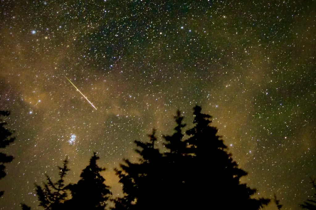
Every August, just when many people go vacationing in rural areas where skies are dark, free from light pollution, the famous Perseid meteor shower makes its appearance. The meteor shower peaked overnight this year on August 11-12.
August is also the month of “The Tears of St. Lawrence.” From Space.com:
“Laurentius, a Christian deacon, is said to have been martyred by the Romans in A. D. 258 on an outdoor iron grill. In the midst of this torture, Laurentius was said to have cried out, “I am already roasted on one side and, if thou wouldst have me well cooked, it is time to turn me on the other.
Regardless of whether this actually happened (some believe that the story is a product of morbid medieval imagination), King Phillip II of Spain certainly believed it: He built his monastery palace, known as “El Escorial,” based on the floor plan of the holy gridiron. St. Lawrence’s death is commemorated every year on his feast day (Aug. 10).
To this day, the glorious Perseids — which peak every year between approximately Aug. 8 and Aug. 14 — are referred to as St. Lawrence’s “fiery tears.”

Mike Wickersham caught a colorful Perseid meteor giving the colorful aurora a run for its money in the skies above Lincoln City, Oregon, U.S.
(Image credit: Mike Wickersham)
On the Nature of Purpose
I’ve heard that the entire purpose of motorcycle riding is to make beer taste better. In fact it was declared on The Lowdown podcast in a story related by its host, Neil Graham, in a recent episode.
It is well known among the readers of this site that as a part of the customary Sisyphian 3-R post-ride ritual of relaxation, rehydration, and reflection, a fermented carbonated beverage or two are consumed. Only in the spirit of nudging or expanding the reflection aspect while rehydrating with electrolytes, as we relax after a long day in the saddle.
But that is not our purpose when riding. Our 3-Rs ritual’s “purpose” is not the purpose of the ride. The ritual can be imagined as more of a tack in the sense of a course of action or conduct, especially one differing from some preceding or other course. As in sailing. For example, we do not drink while riding as we await the conclusion of the ride to imbibe. As you might imagine, making sense of the events of the day in the reflection step of the 3-Rs is something we take seriously. But rehydration, as in making beer taste better, wasn’t the purpose on this ride. On the other hand, a bicycle ride just might enhance the taste of beer, to say nothing of the taste of tacos.
Our purpose on this ride was to view the Perseid Meteor shower. The Perseid meteor shower peak was anticipated on or about August 10 and 11, 2024, as it occurs annually when Earth passes through debris — small bits of ice and rock — left by Comet Swift-Tuttle, which last approached Earth in 1992. This year the appearance of the Perseids was to occur as simultaneous auroras were expected in the more northerly latitudes which meant, auroras were unexpected in latitudes where we were visiting.
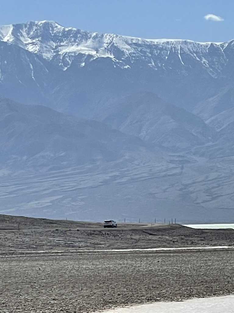
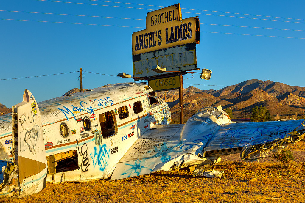
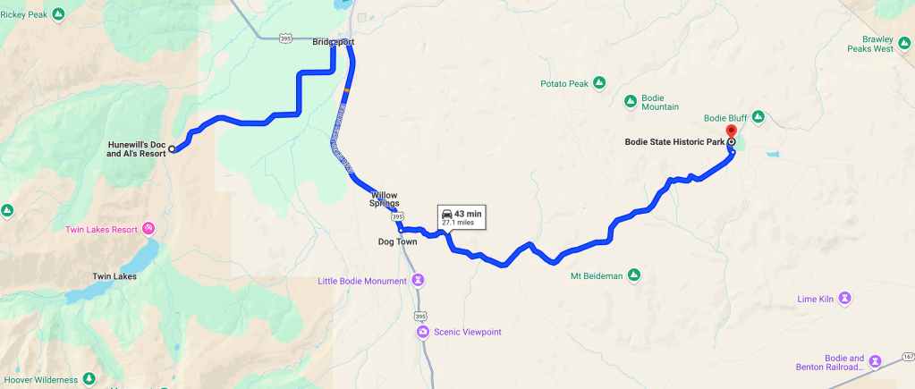
Alas, we were in Bridgeport, CA, and not in Lincoln City, OR where the above photo was taken. Lincoln City is approximately 44.65° North latitude whereas Bridgeport, California is approximately 38.08° North latitude. The difference: Lincoln City, OR’s latitude of 44.65° – Bridgeport, CA’s latitude of 38.08° puts Lincoln City, OR 6.57°of latitude north of Bridgeport, CA.
Meteors would be visible but the 6.57° difference in latitude was apparently enough to preclude seeing any aurora.
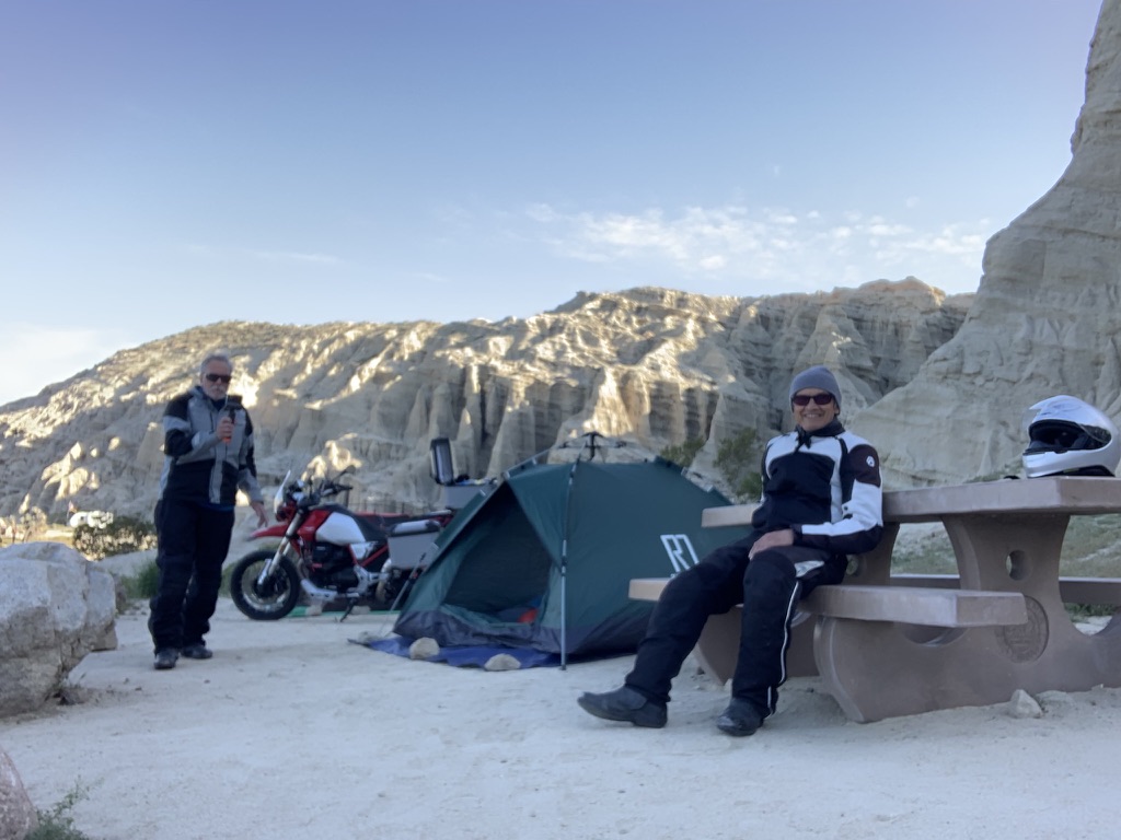
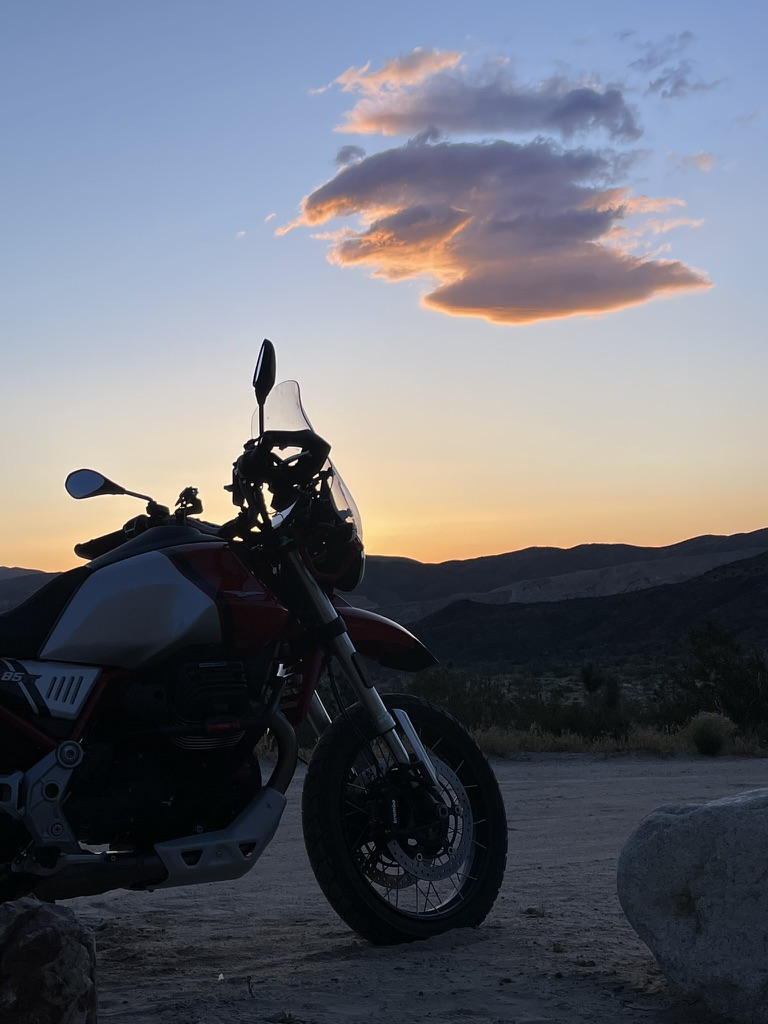
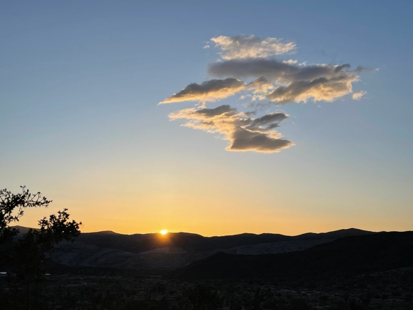
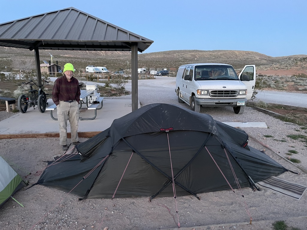
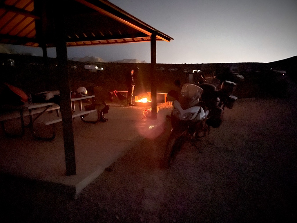
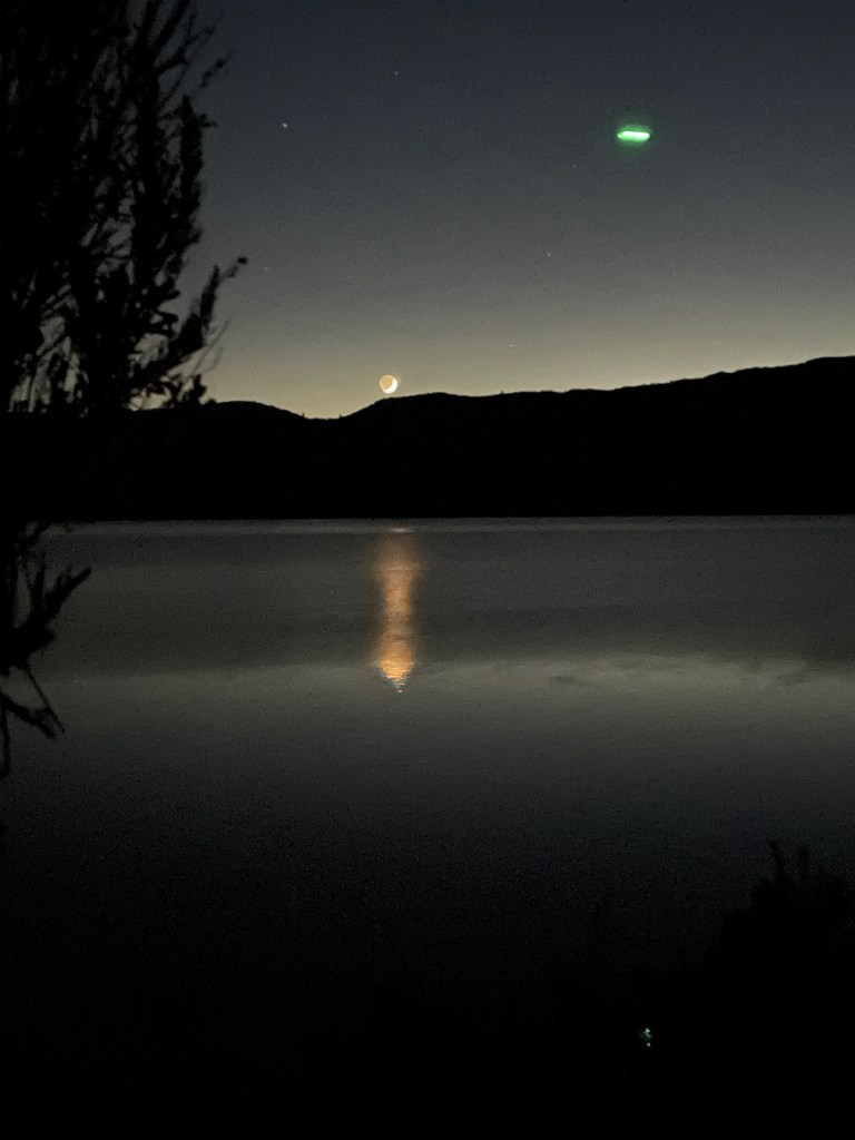
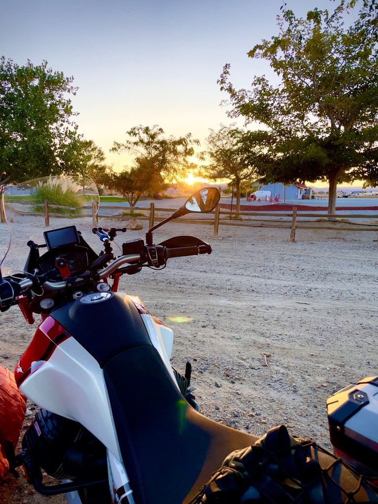
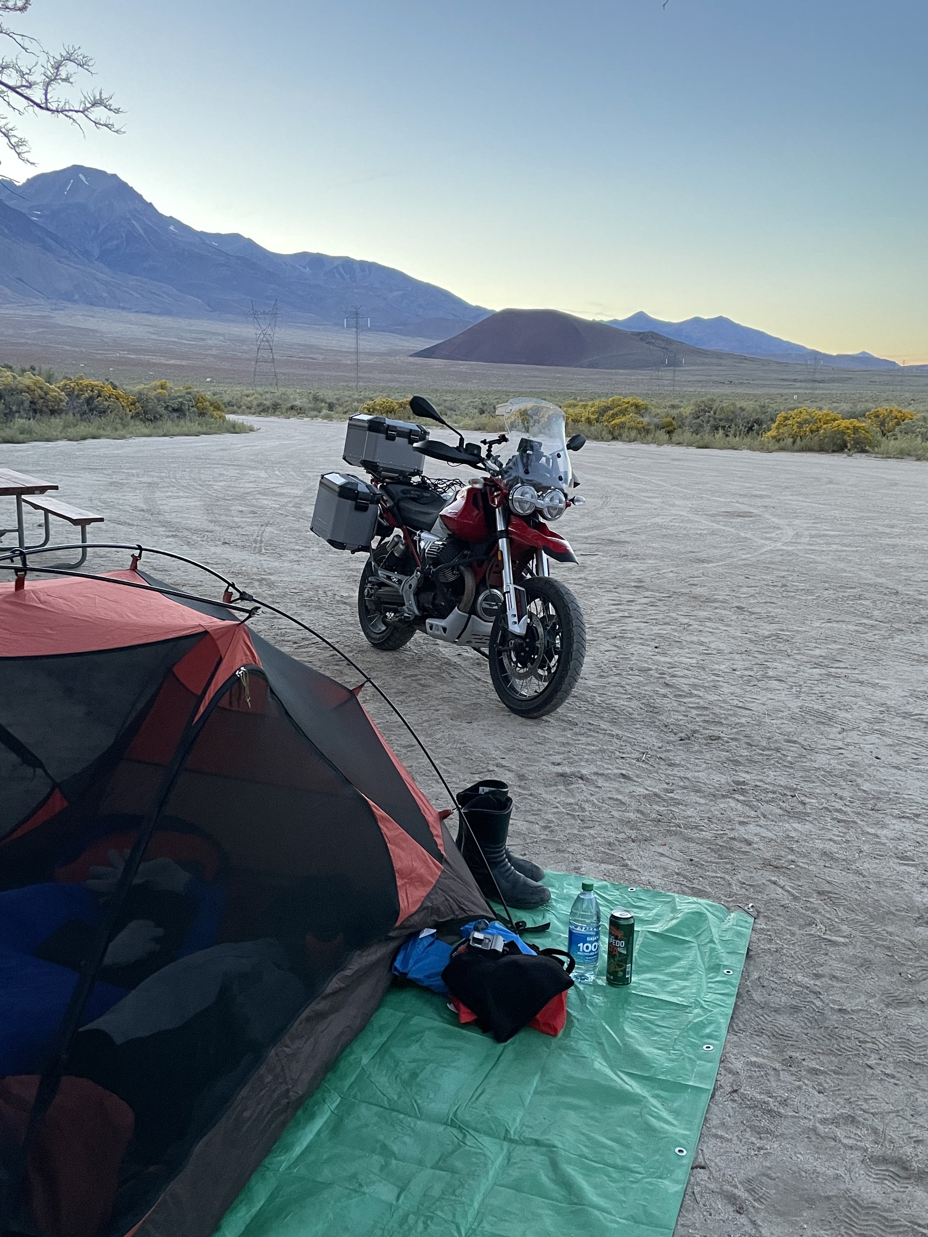
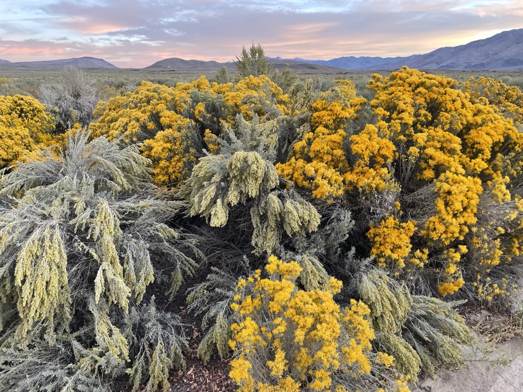
Wouldn’t you know it, though we had chosen an ideal rural area with little light pollution to obscure the Perseids, on Saturday, August 11, as seen from our campsite at Doc and Al Hunewill’s Campground, there were beautiful lenticulars streaming over the Sierra.
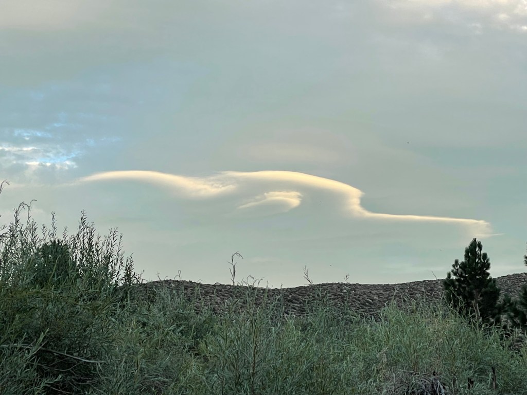
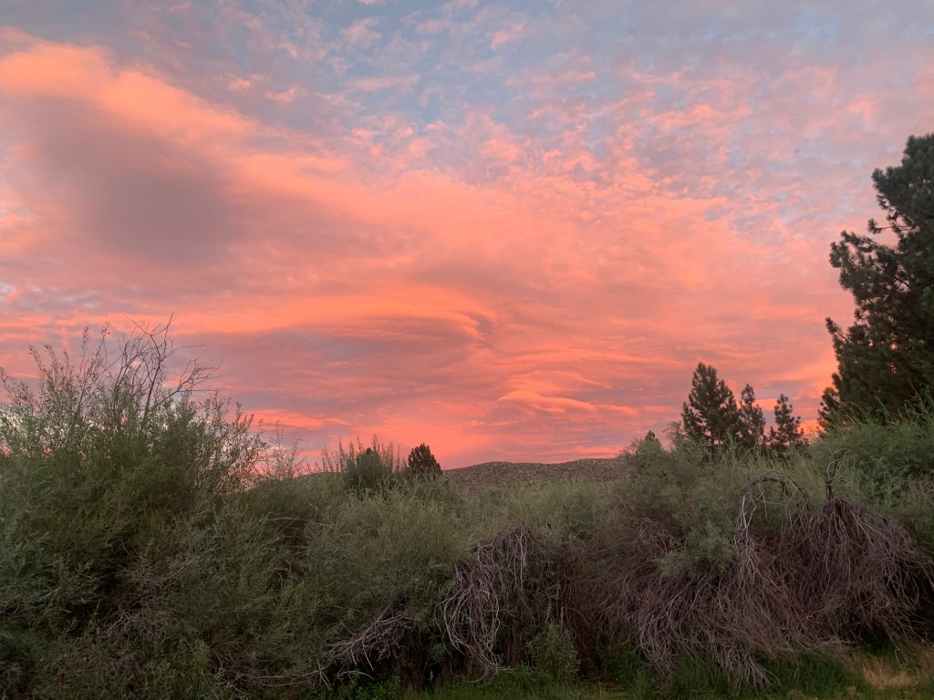
The setting sun created an alpenglow overcast that would later limit our sighting of all but one meteor that night before we abandoned the campfire to slumber. It wasn’t an aurora, it wasn’t a meteor shower, but it wasn’t half bad!

I have to admit that a campfire does somewhat improve the taste of beer but is that the campfire’s purpose?
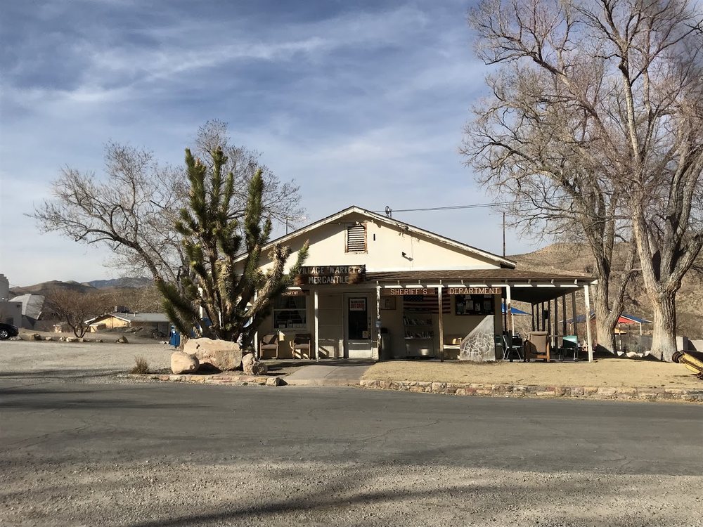
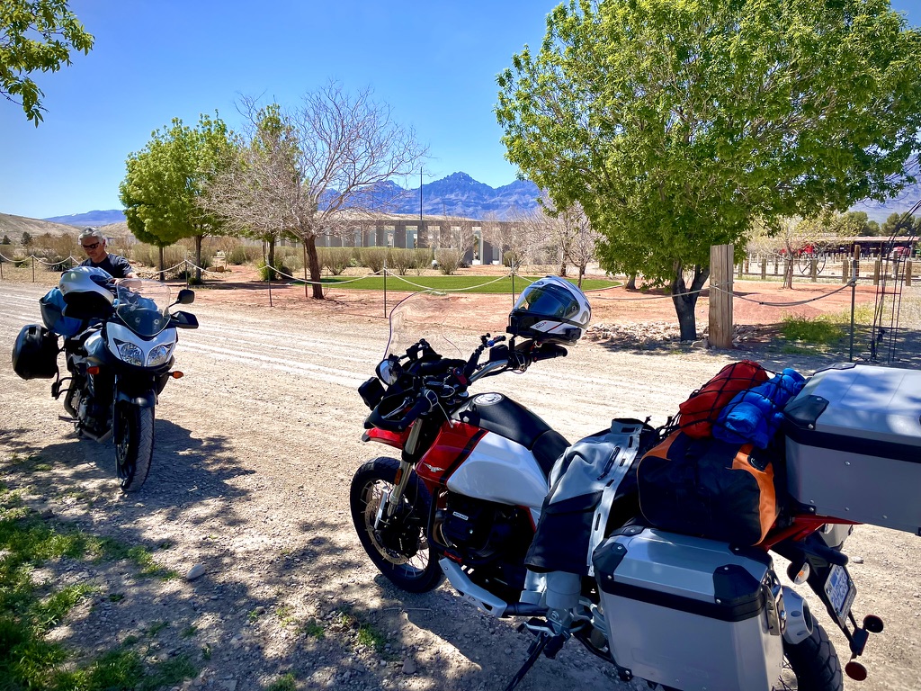
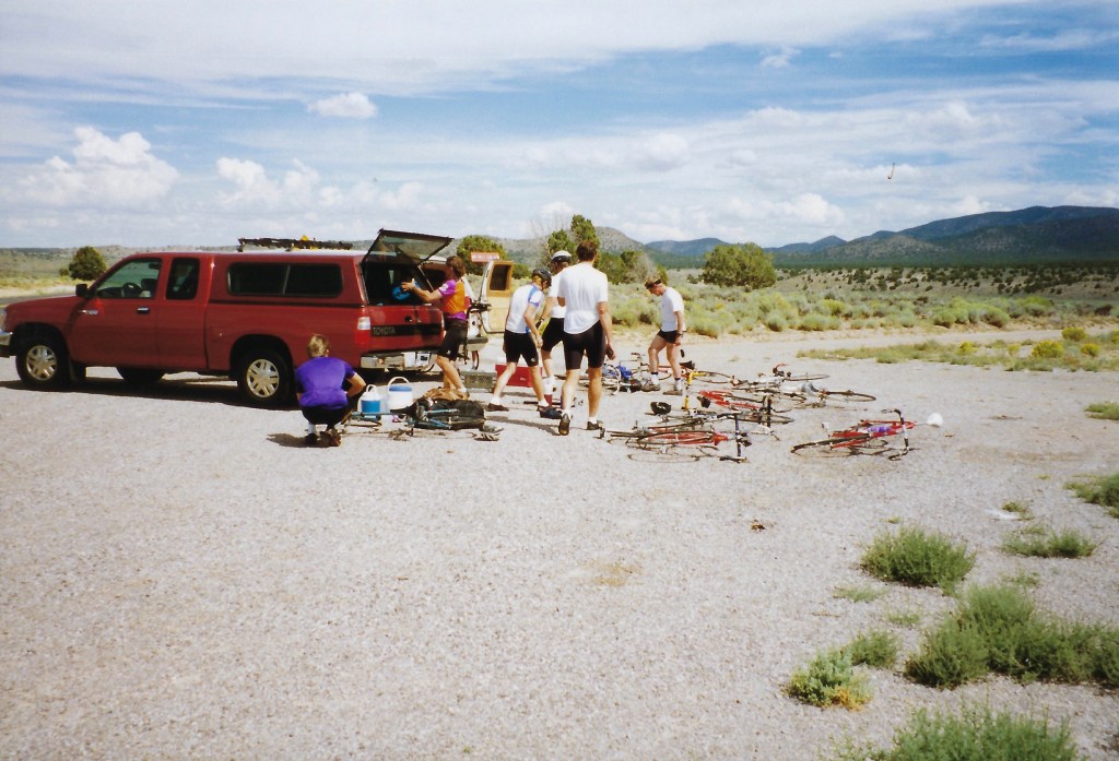
Day 1 Wheels Keep on Turning
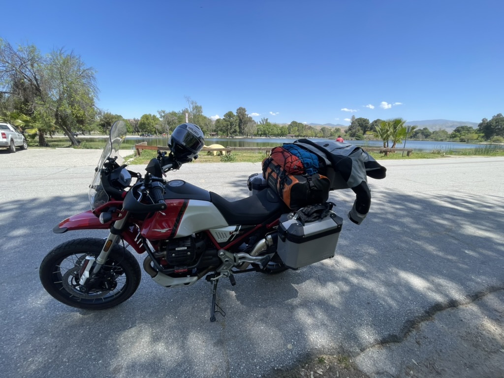
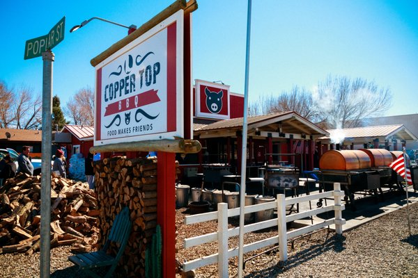
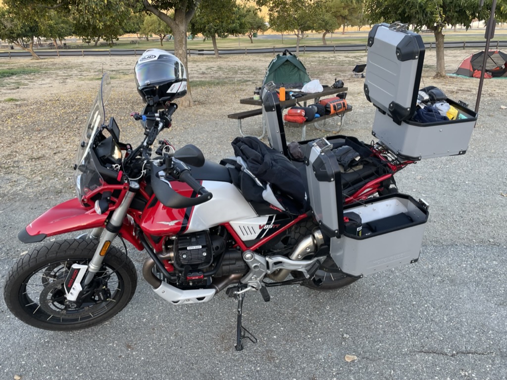
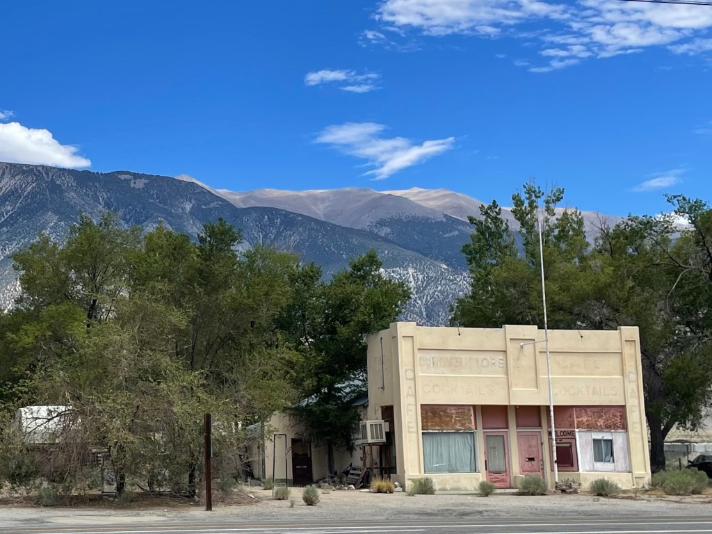
Our journey began early on Saturday morning, August 10 to beat the remnant heat dome smothering the Central Valley of California along the route over Sonora Pass on CA-108. This familiar route took us from our home in Mercerd, California (without the requisite reservation for traversing the Sierra over Tioga Pass in Yosemite), past the new Chicken Ranch Casino and what I believe to be the only round-about in Tuolumne County.
We rambled past Jamestown, through Sonora and the unincorporated villages before reaching Pinecrest Lake. Stopping in Strawberry at the Strawberry General Store for coffee and a snack we met Pup and Larry the store dogs. Larry never met a stick he wouldn’t fetch and Pup makes sure the middle of the parking lot is secure. So secure, he naps there.
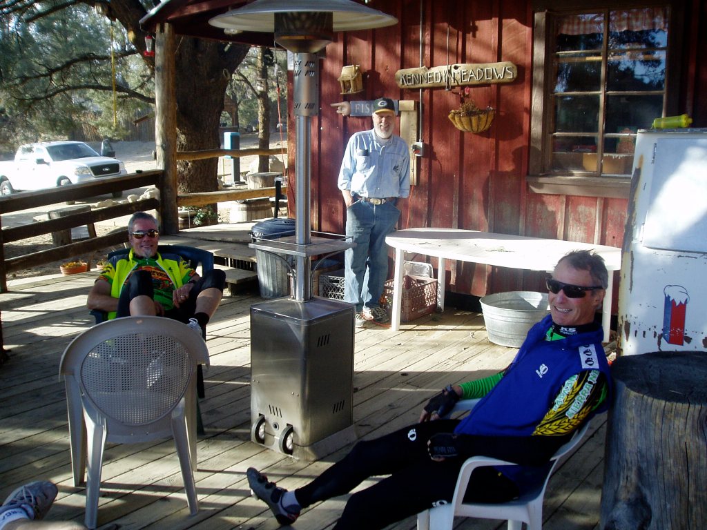
On to Dardanelle, and Kennedy Meadows then over Sonora Pass, past the Marine Corps Warfare Training Center to US-395 and with a strong 5 iron (or field artillery cannon shot), south on US-395 and you arrive in Bridgeport. Not only did we not need a reservation, but according to Google, we shaved 16 miles off of our first leg over CA-168.
No conga lines on CA-108 like those at any of the Yosemite pinch points
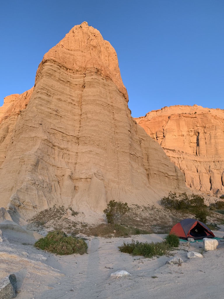
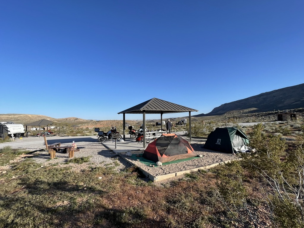
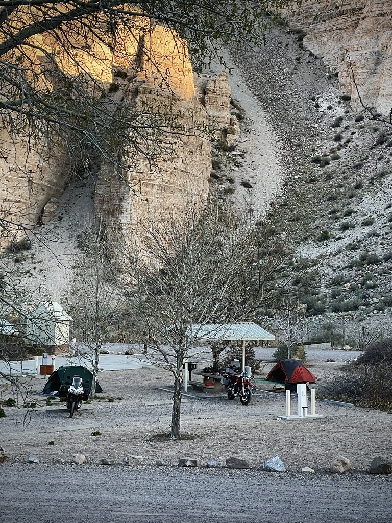
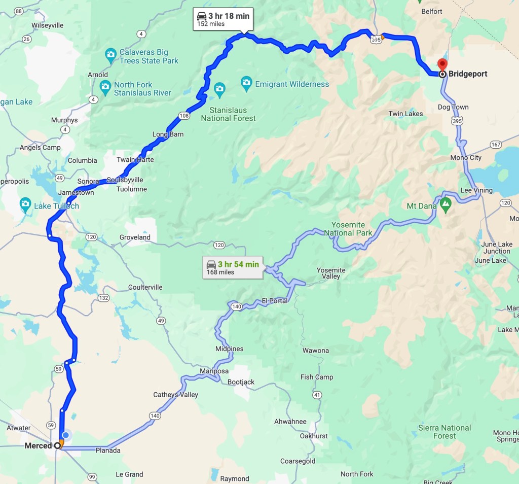
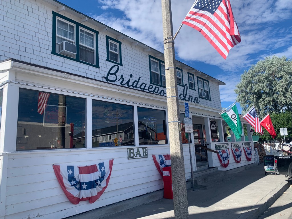
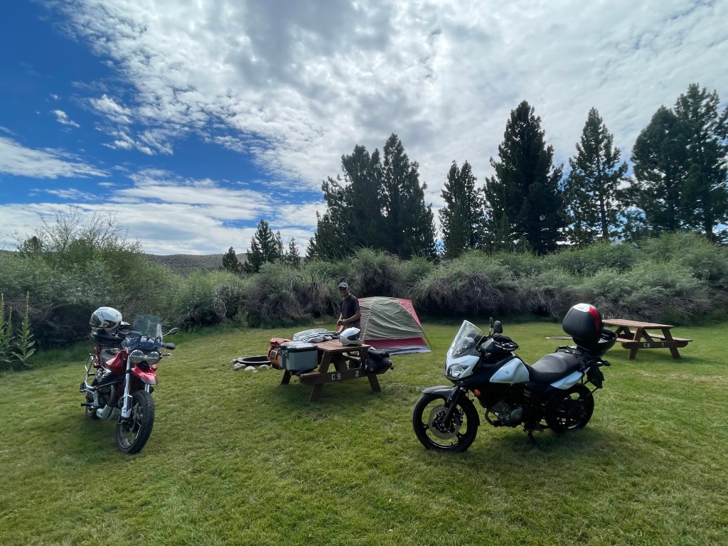
We checked in at Doc and Al’s about 6 miles west of town along Robinson Creek around noon having successfully beat the heat. Bridgett, the gracious campground hostess, had just opened the office. She is a member of the Hunewill Family that has been a part of the Bridgeport Valley since the 1860s. Currently, the 4th, 5th, 6th, and 7th generations run a guest ranch a couple miles down the road from Doc and Al’s.
The ranch and campgrounds are located on a beautiful verdant plain that provides feed for the working cattle ranch and the numerous horses that are employed by the guest ranch that is kept green by the waters of the Sawtooth watershed. Bridgeport is what much of the Owens Valley must have looked like before the Los Angeles Department of Water and Power captured the watershed of the Eastern Sierra sending it to La La Land.

Doc and Al’s and the Hunewills Family, all four generations
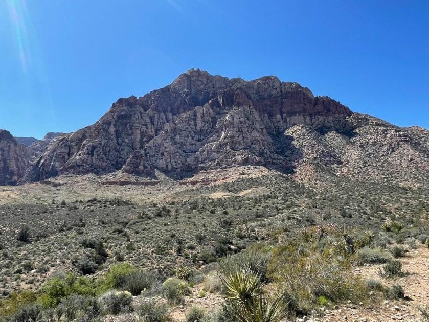
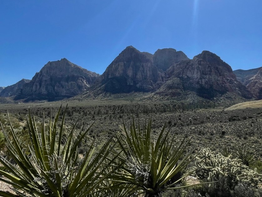
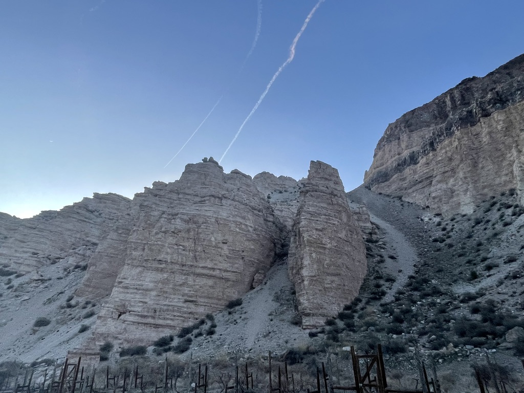
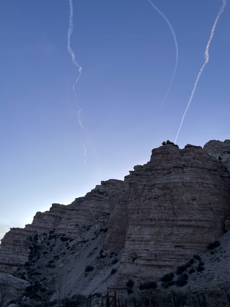
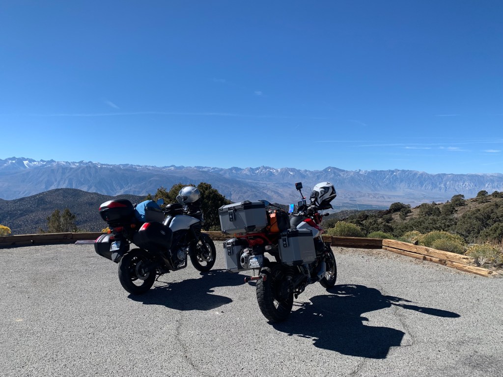
The campsite was ideal for meteor watching with a large tended grass field with 360 degree open sky views framed by the Sawtooth Range to the west. Further up the road is Twin Lakes, a popular summer fishing and camping destination. Beyond Twin Lakes one enters the Sawtooths where once upon a time in the mid 80’s was a backpacking destination.
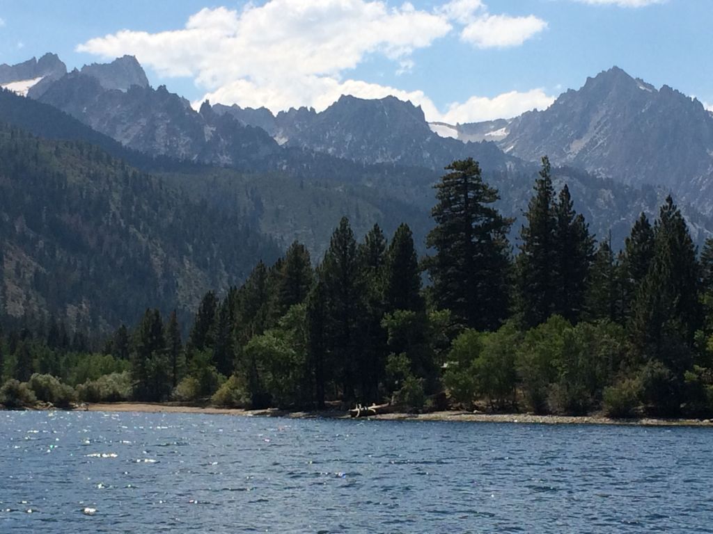
Lower Twin Lake and the Sawtooth Range
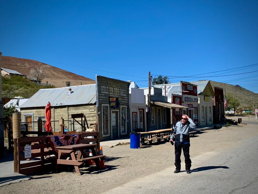
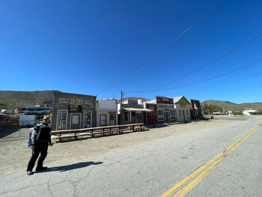
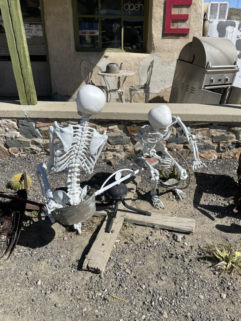
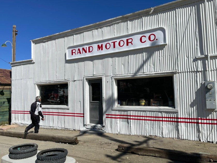
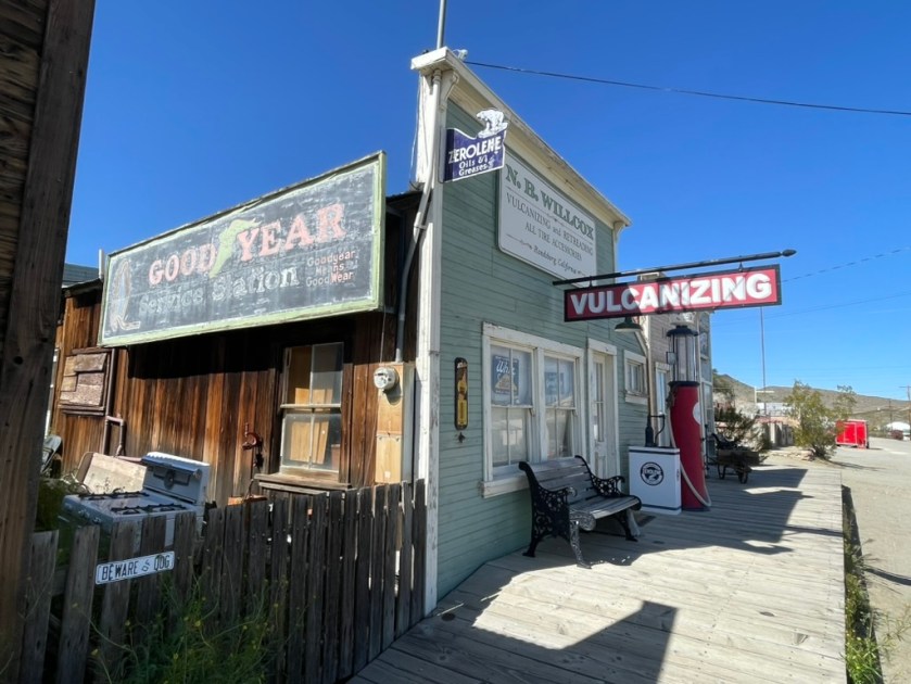
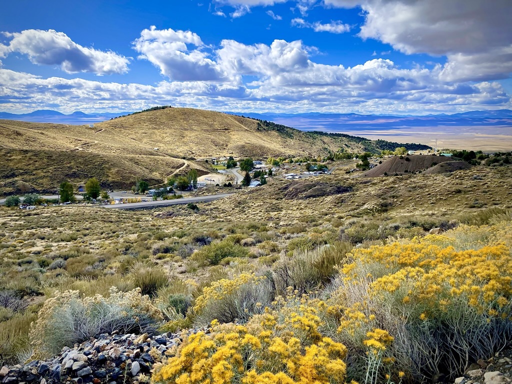
Since the Perseids weren’t to make an appearance until 11:00 pm, we decided to head out to Bodie, a ghost town in the Bodie Hills east of the Sierra Nevada in Mono County, 19 mi east-southeast of Bridgeport at an elevation of 8,379 feet.
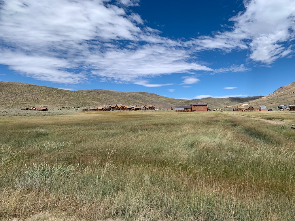
Our destination: Bodie, a ghost town in arrested decay
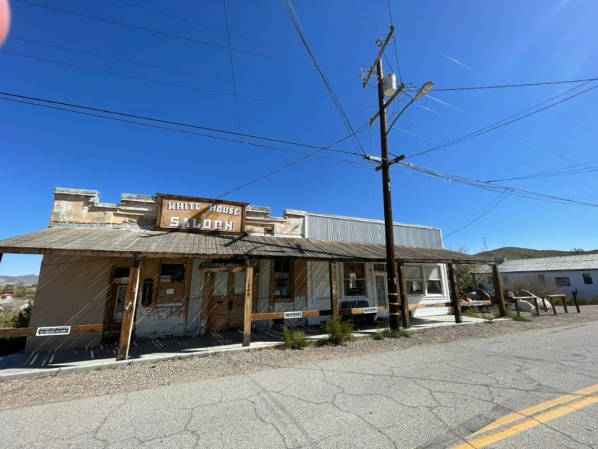
Bodie became a boomtown in 1876 after the discovery of a profitable vein of gold and by 1879 it had established 2,000 structures with a population of roughly 8,000 people. Besides several devastating fires over the years, the town went into decline in the subsequent 35 years and came to be described as a ghost town by 1915. The U.S. Department of the Interior recognizes the designated Bodie Historic District as a National Historic Landmark. Bodie is also registered as a California Historical Landmark and the ghost town officially was established as Bodie State Historic Park in 1962 in a state of “arrested decay.” Some would believe we live in a state, California, that is in “arrested decay.” I, for one, am not one of them!
Glory to the Grizzly!

Surprised there was no Clamper plaque
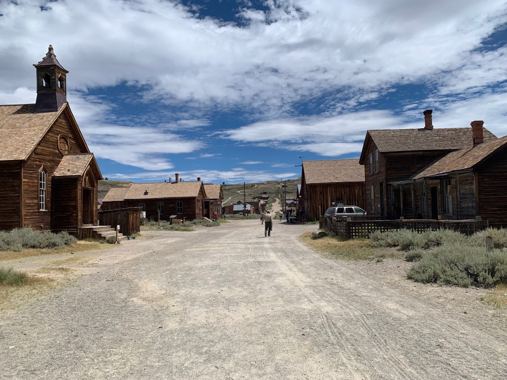
The road to Bodie is paved except for the last 3 miles into the ghost town. The washboard dirt/gravel road is sound and we had no issues with the modest knobbies on the V85-TT and street tires on Pete’s VStrom aside from some filling rattling on the washboard and some slip-slide-aroos in the drifted gravel corners.
The delightful ranger at the kiosk patiently waited for me to clumsily remove gloves, search for my wallet, and provide the $8.00 entrance fee. Much to my dismay, there was no “senior discount” and since it was an Historic State Park, my NPS Senior Pass was useless. But, what’s $8.00 in the larger scheme of our Perseid bound purpose? Upon handing me a site map that she described as free, I couldn’t help but mutter, “Free? Nope, it cost $8.00.”
I suddenly felt like the man called Otto. She laughed, so I didn’t feel quite the schmuck.
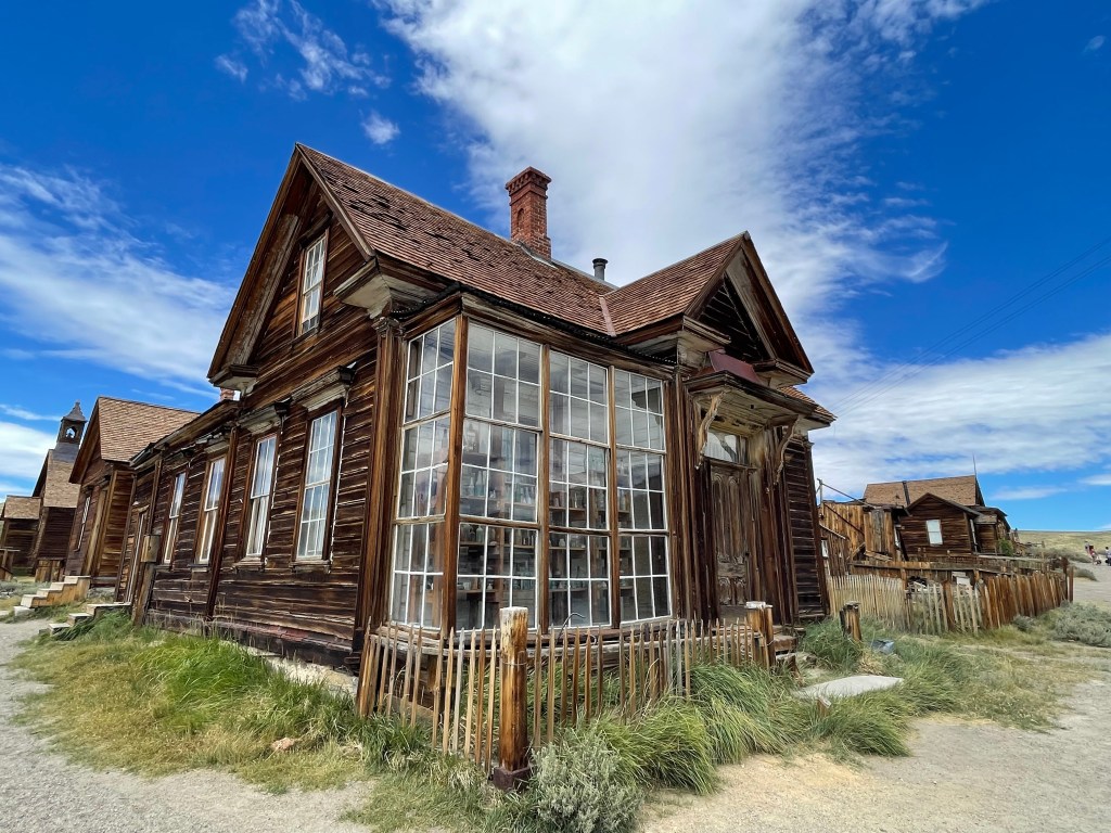
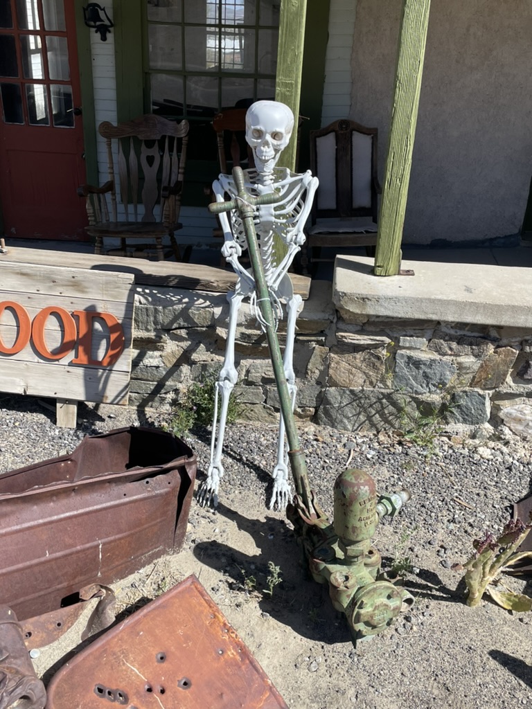
Given all of the small bottles in the window, I say this was an apothecary

This may have been a mercantile
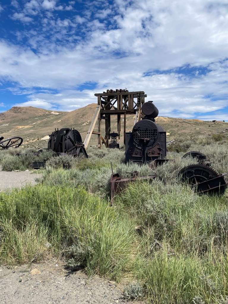
The remains of a stamp mill that once numbered in the dozens

The remains of the mill at the Standard Mine

No, we’re not reenactors posing as miners
We met Blue, the fellow in the camo cap who with his brother and a couple of other buddies were riding the California BDR section from Mammoth to Oregon. He asked what it was like coming in on the gravel road on street tires. Since we hadn’t crashed, we replied, it wasn’t bad. At which time he admitted that he was inexperienced in the grueling backcountry discovery route and that his crew had greater experience riding in the backcountry. His preferred moto was a Harley. We agreed that ignorance can be somewhat blissful, of course, until it isn’t…
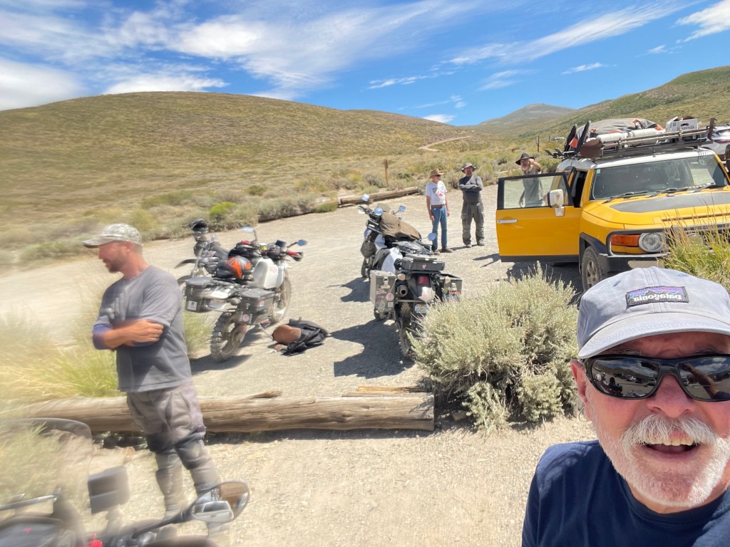
I was intending to get Pete who was in conversation with Blue with ADV bikes in the background in this sunscreen smudged frame, but alas, as you can tell from my expression, I cannot see.
I remembered that a few years ago on another trip to Bodie that when electrification came to the town to run the ore crushing mill, it was something of an experiment. From Bodie.com:
Originally, the Standard Consolidated Mill was run by steam power, but wood was a resource that was expensive and became more expensive as it had to be hauled from further and further away. In November 1892, Thomas H. Leggett convinced James Cain to invest in his idea of transmitting power over a long distance. The power was to be used in the Mill, which would greatly reduce the amount of wood needed, and thus the costs associated with it. Cain agreed and work began. The Mill had new electrical equipment installed, a power substation was built, and lines were run from the Mill to the substation, and from the substation to Green Creek, where the Hydroelectric Power Plant was built. In fact, the lines were run 13 miles in a straight line! At the time, it’s believed that engineers weren’t sure if the power would ‘jump out of the line and into the ground’ on sharp corners – on the other hand, it cost less to run a straight line, rather than adding footage for turning corners…
I never cease to be amazed by the tenacity of the miners of that era. To have seen the elephant must have been as much a spiritual quest as it was ambitious, to say nothing of how arduous their pursuit of riches, more often, ended unrealized.

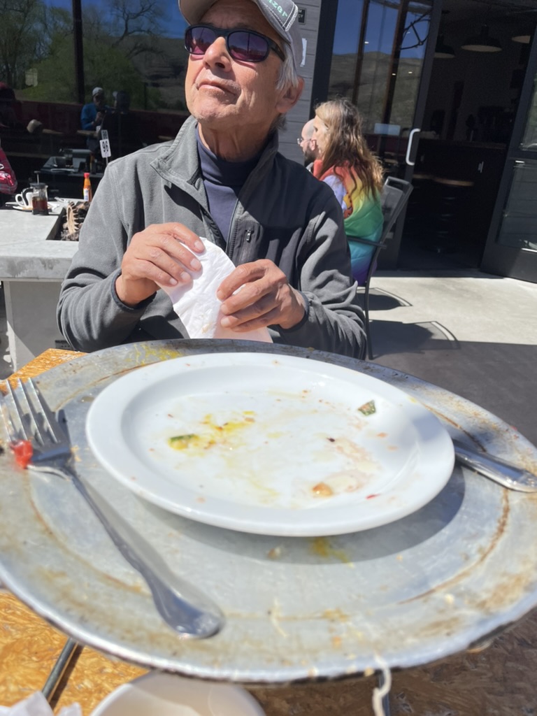
Taco time
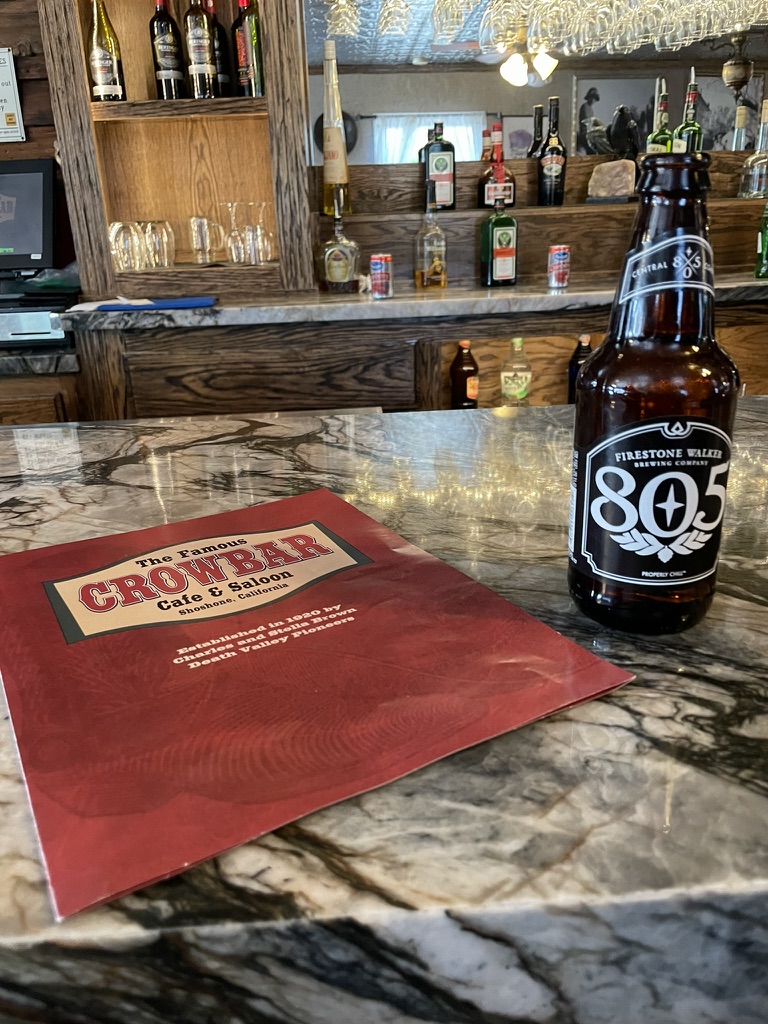
Upon returning to Bridgeport to deal with having starved Pete by taking our afternoon Bodie diversion, we were told by Bridgett at Doc and Al’s about a taco truck by the Big Meadow Brewing Company. Now, normally that’s a guaranteed good mangia e beve. And while the food and drink were satisfying, Pete’s Place Truck in Bridgeport has a way to go before it achieves Central California truck taco authenticity.
What was authentic was the Saturday afternoon entertainment by the Sawtooth Rangers featuring a mandolin, guitar, bass, keys, drums and Chris Murphy on the fiddle. Wait for the fiddle solo in the clip.

The Sawtooth Rangers, Harvest Moon.
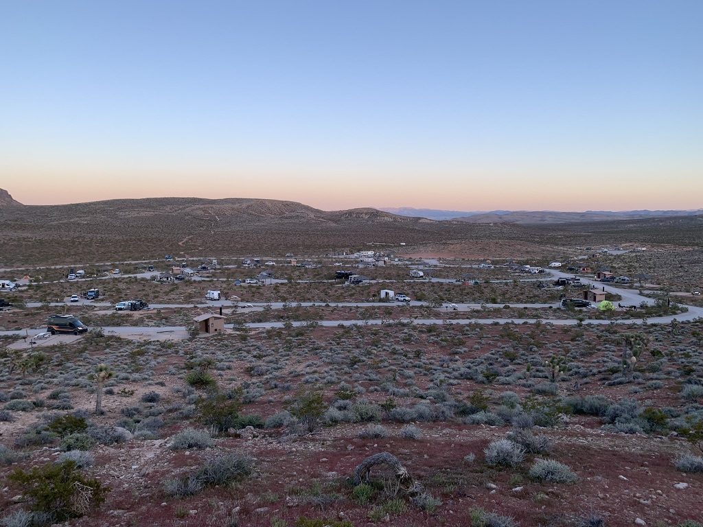
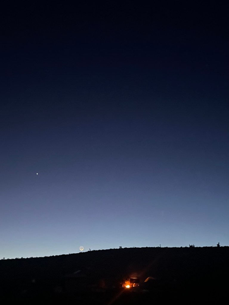
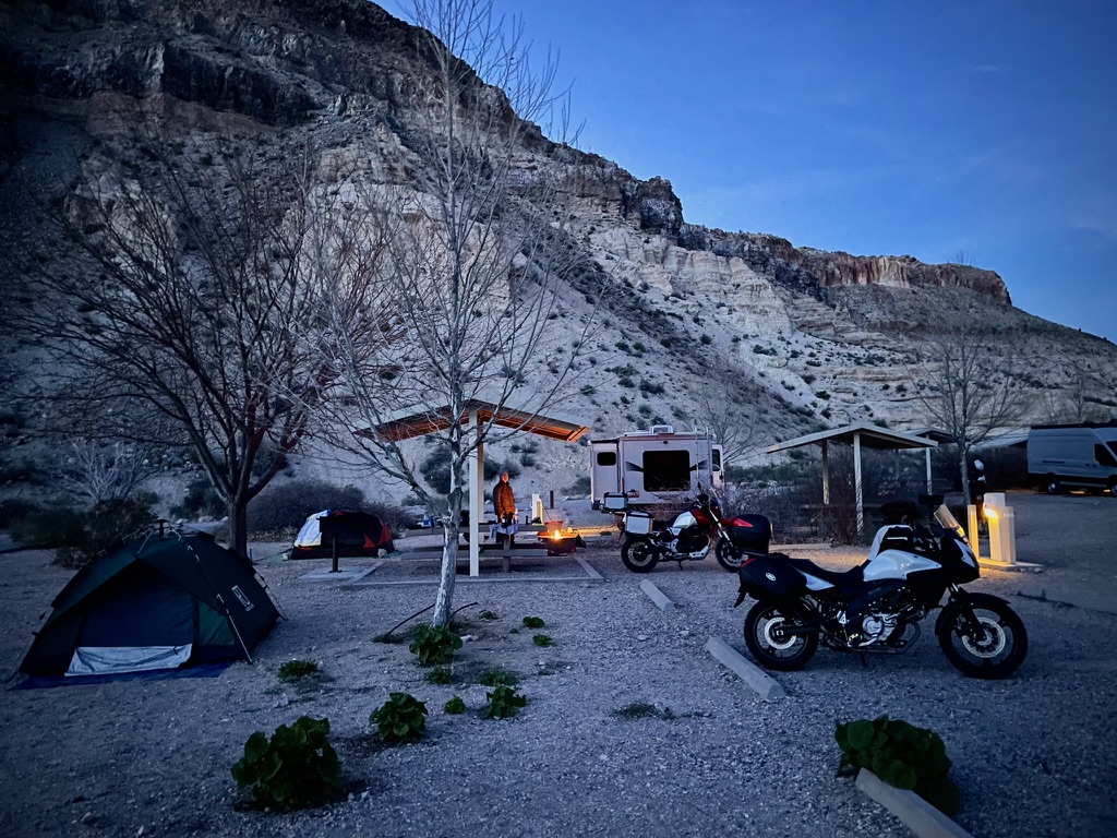
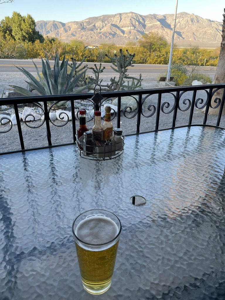
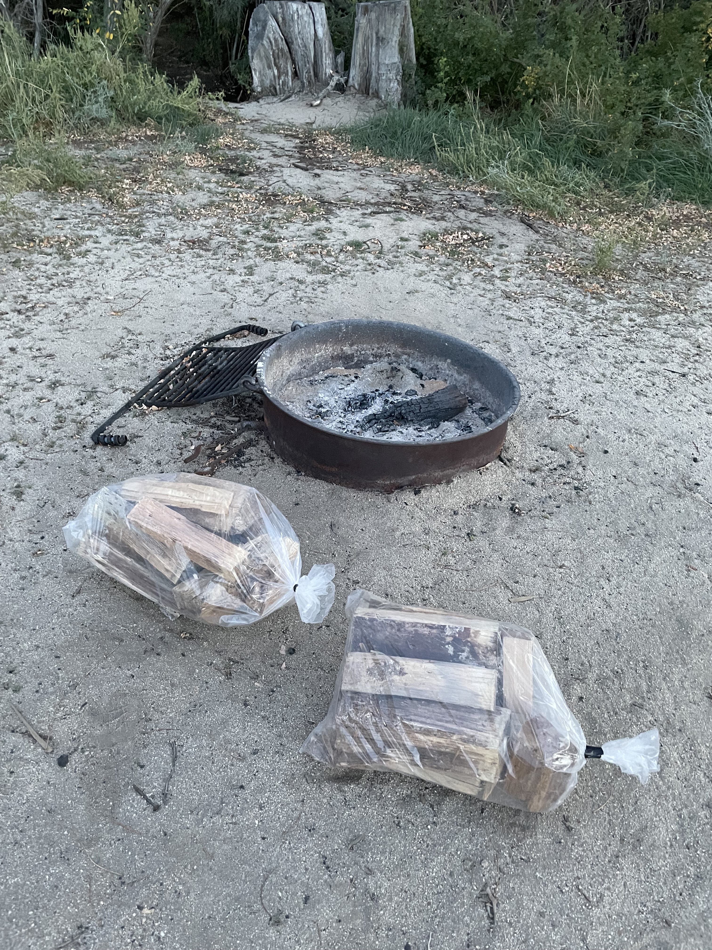
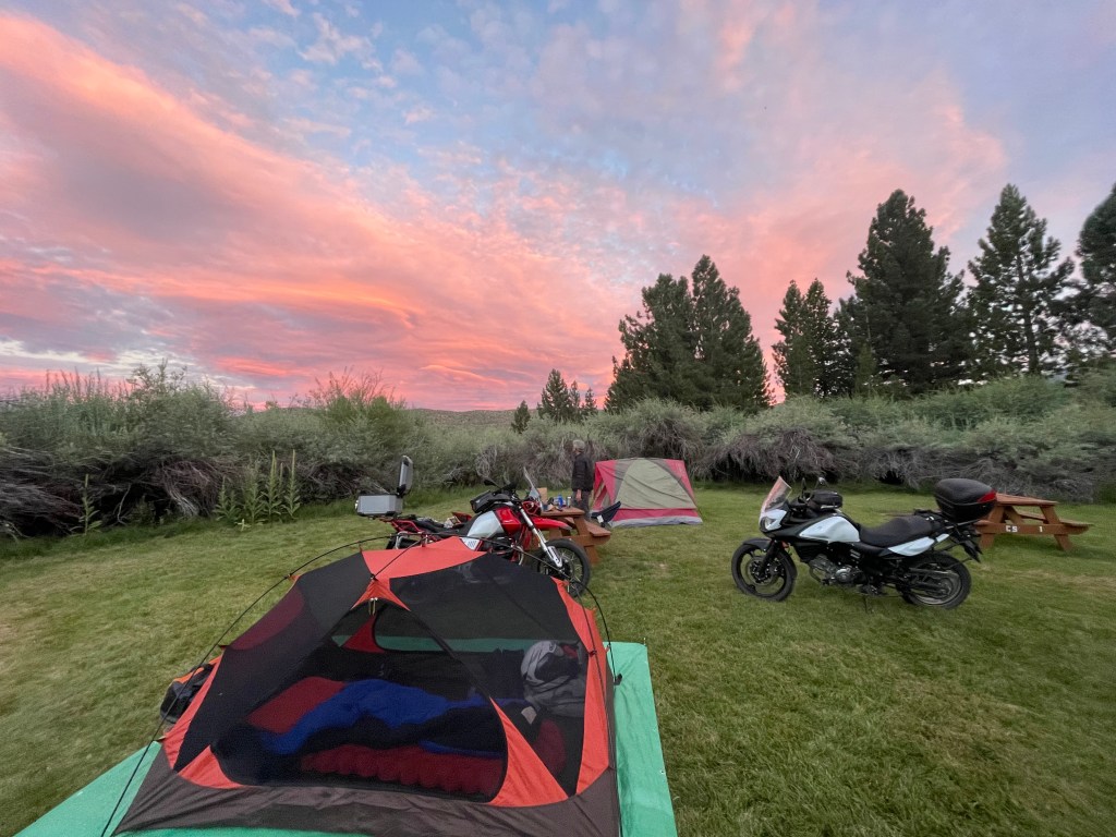
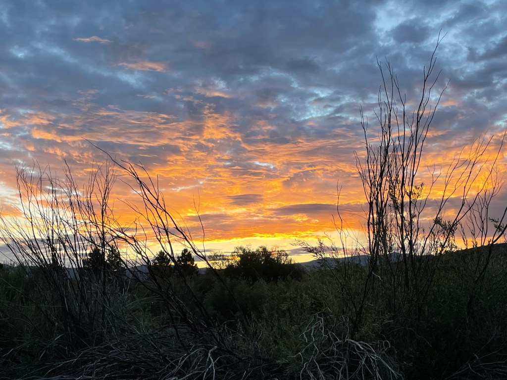
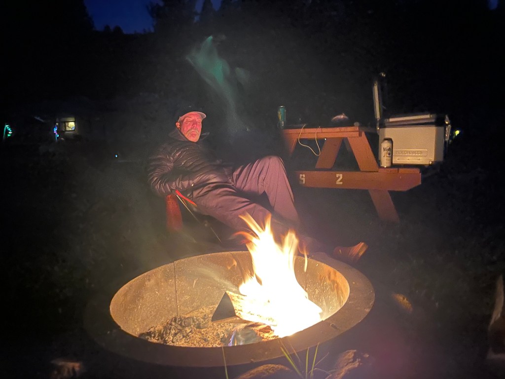
After shopping for Perseid inspired beverages, we headed back to Doc and Al’s and settled in for the evening. Disappointed by the cloud obscured heavens, we nevertheless enjoyed the 3-R’s and a wonderful campfire.

Sunset at Doc and Al’s

Relaxing, Rehydrating, Reflecting and perhaps, making the beer taste better
Day 2 Aspendell, a Lake, Bishop, & Benton
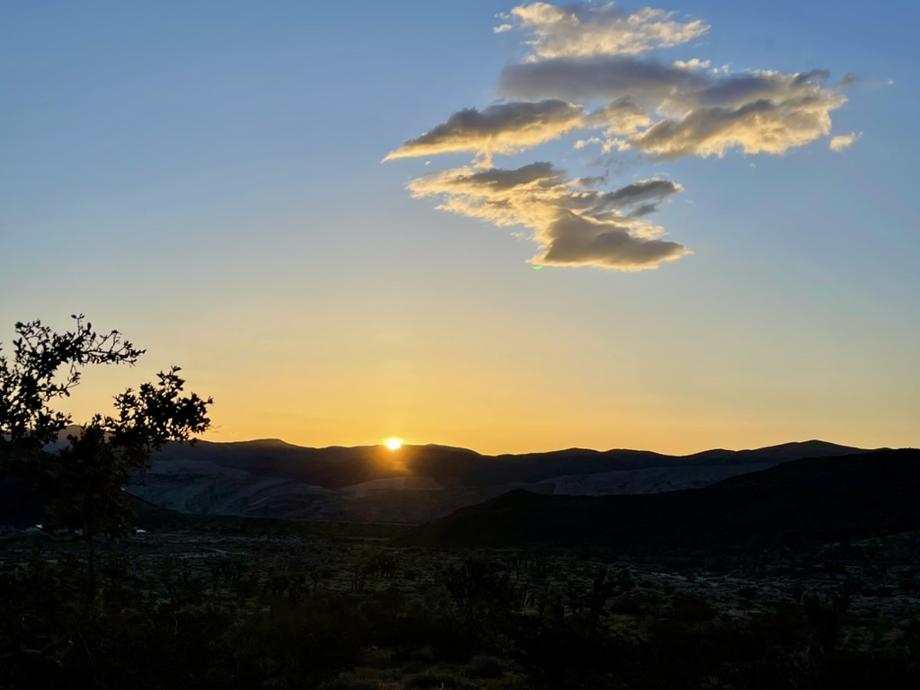
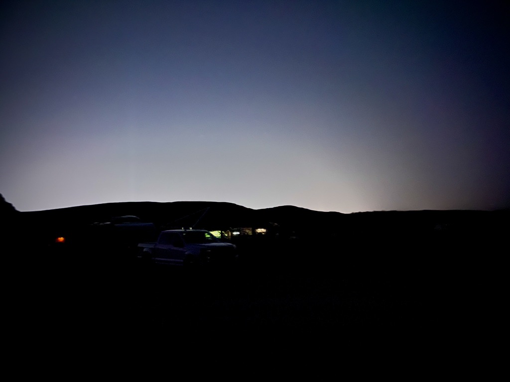
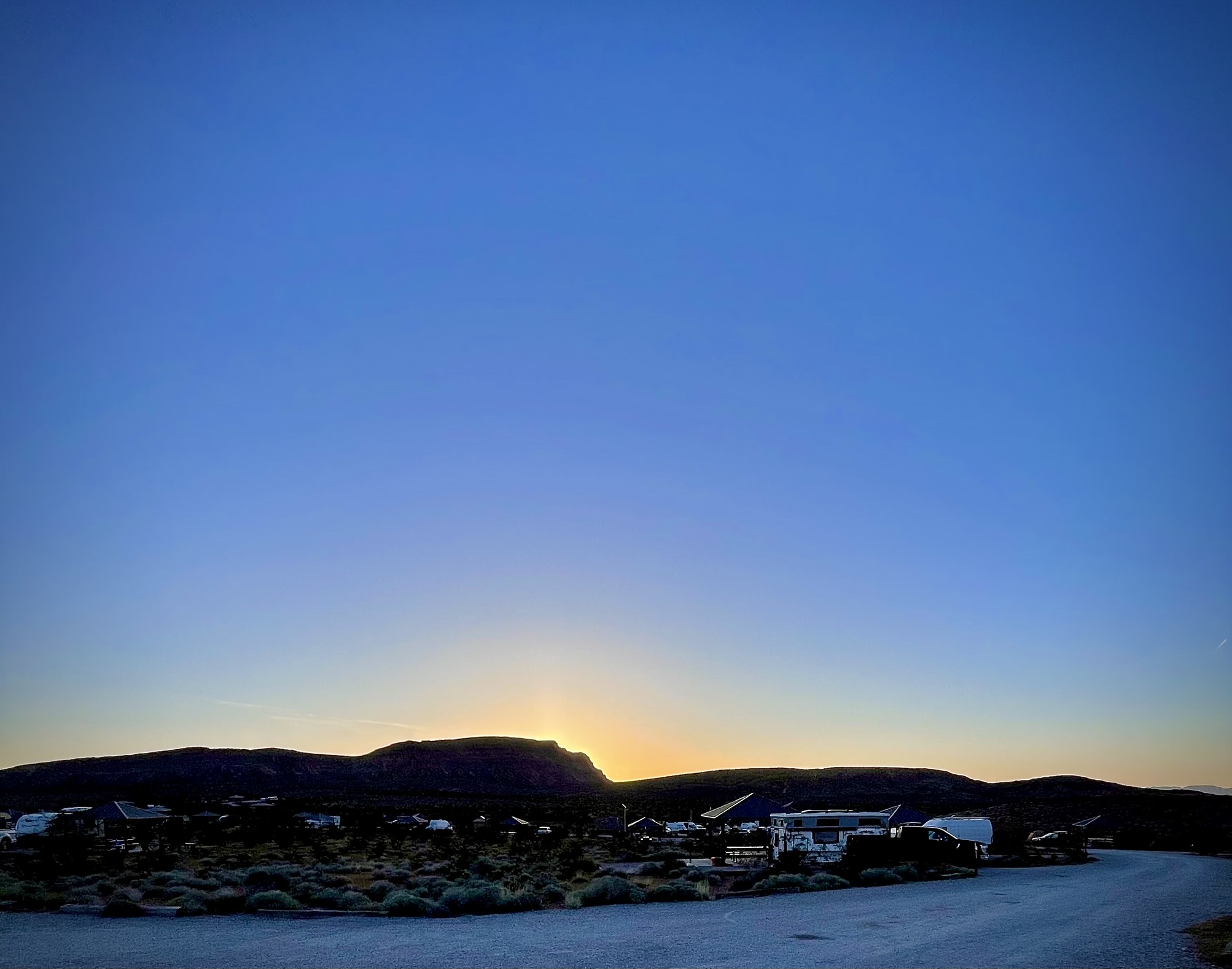
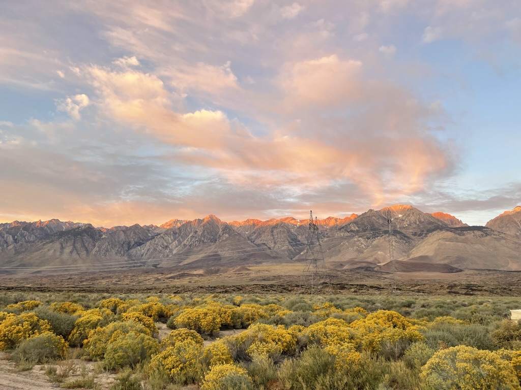
There’s nothing quite like an Eastern Sierra sunrise
Through a restless night, a sore throat and congestion began to rage. Coughing and sneezing as I stepped out of my tent to view a glorious sunrise, I was reminded of my career following the summer recess and joining my 105 middle school students. It would be the second week or so of the new school year, about the time of our Perseid Ramble this year, that I would get my first late summer viral infection that would morph into a bacterial sinus infection. Nothing like cramming 35 kids into a petri dish with deficient air circulation for six periods a day allowing a rhinovirus to spread like wildfire.
Recommended fast breaker
And just as I persevered back then, I popped a couple of Tylenol Gels, downed a camp mocha, and after a delightful breakfast at the Bridgeport Inn, we headed south on US-395 with Aspendell and Sabrina Lake on our this-day diversion as we awaited the second night, and hopefully clearer skies, of the Perseids.
A nice Eastern Sierra day-ramble
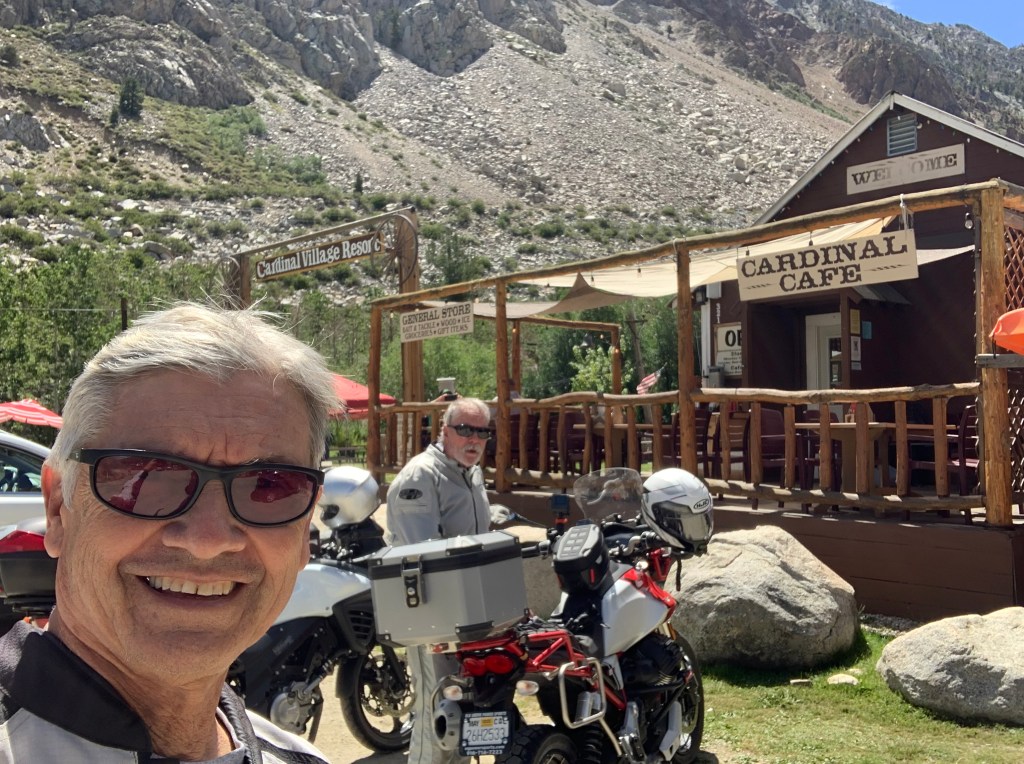
Aspendell is a vacation community near the terminus of CA-168 East that terminates at Sabrina Lake. Over the Sierra crest lies the terminus of CA-168 W just east of the shore of Huntington Lake. The Central Sierra can be crossed over CA-108, Sonora Pass, CA-120, Tioga Pass, and Sherman Pass Rd with the southernmost crossing at Walker Pass. I wonder if ever CalTrans considered a route across the Central Sierra, between Tioga Pass, CA-120 and Walker Pass, CA-178? Mt. Wendel, Mt. Darwin, Mt. Haeckel, and Mt. Wallace guards the entrance to the Evolution Basin just over the crest. For more information and the history of the Cardinal Mine, check out:
A Guide to Cardinal Mine in Bishop Creek Canyon

Main Street in Aspendell
In the heart of Aspendell
Sometime in the mid-80’s a group of friends and I hiked from Sabrina Lake to Lone Pine by way of Whitney Summit concluding the trip with a fine meal at the Merry Go Round restaurant in Lone Pine. It was then known as something of fine dining in Lone Pine. I believe it has now reincarnated as a Chinese food restaurant. I’m sure hungry Whitney conquerors would today enjoy a Chinese spread as we enjoyed steak dinners with wine back in the day.
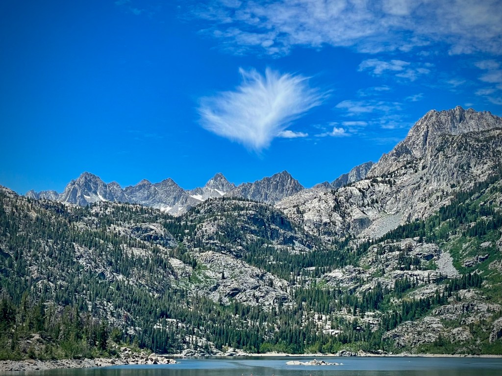
Mt. Wendel, Mt. Darwin, Mt. Haeckel, and Mt. Wallace
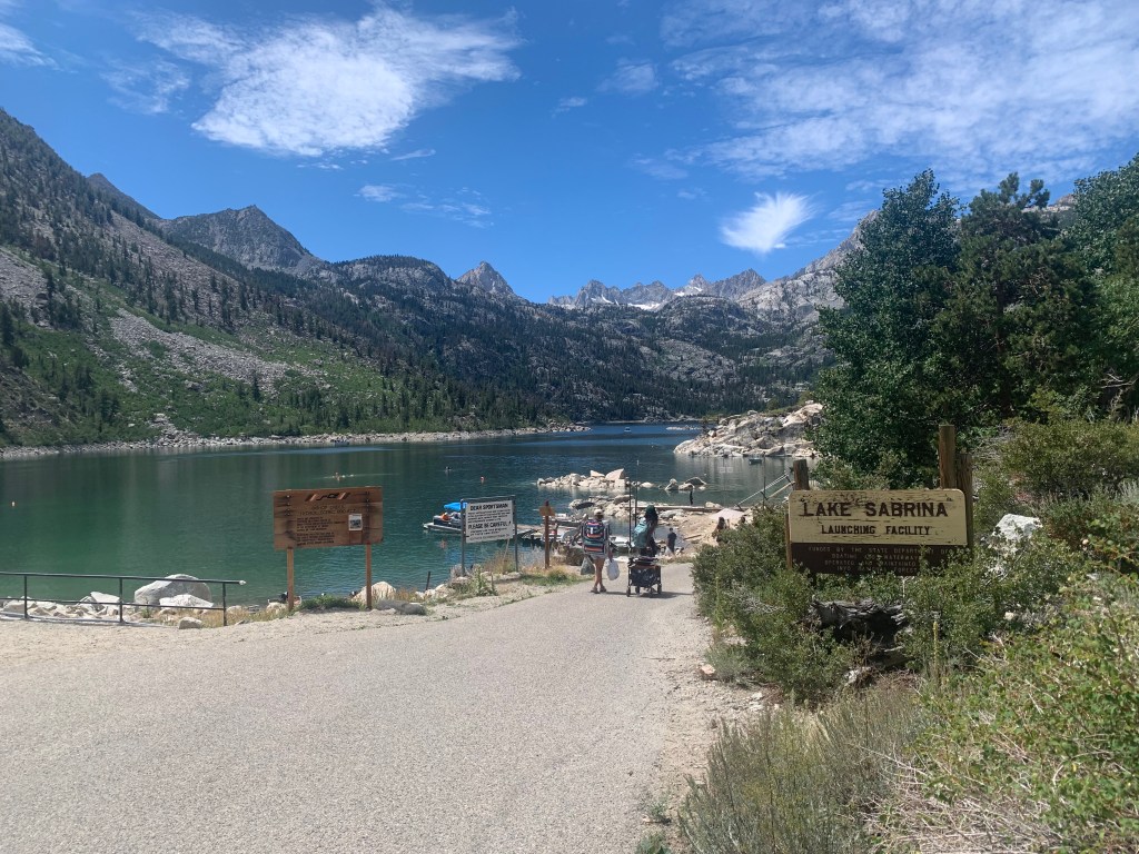
Sabrina Lake AKA Lake Sabrina

The locals pronounce the lake “Sah-bry-nuh”
Lake Sabrina was created by damming the middle fork of Bishop Creek. The dam was built in 1907-08 to supply a constant flow of water to hydraulic power plants. The lake is part of the Bishop Creek system.
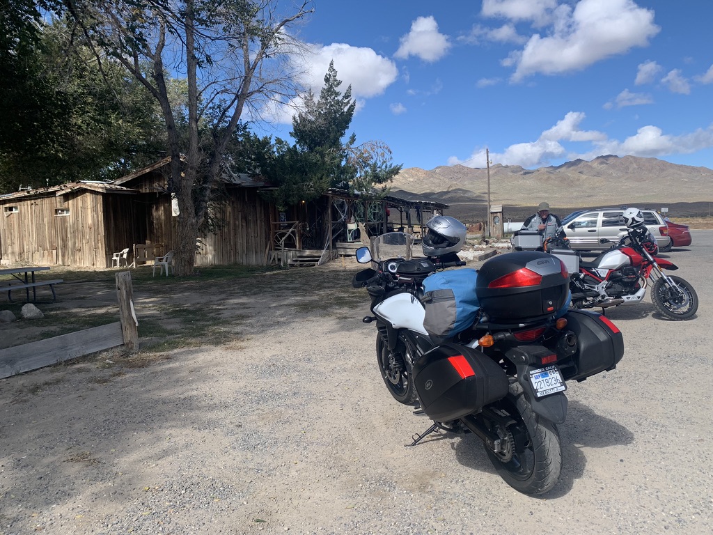
After noting the failure of my left leg zipper on my armored pants, I attempted to solve the issue with a safety pin. Given the density and thickness of the ballistic nylon material to which the zipper was stitched, I would have needed a ballistic safety pin which the young lady manning the register at the Cardinal Village Store, who graciously searched for any safety pin, could not locate.
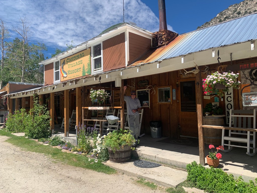
No super glue but anything you could think of for fishing
My next brilliant idea was to super glue the section at the top of the pant leg where four teeth were mysteriously missing causing the zipper to unzip, thus creating a new stop at the end of the zipper. Alas the store had no super glue. I decided it was warm enough to welcome the extra ventilation of a completely unzipped leg certain I could find super glue in Bishop.
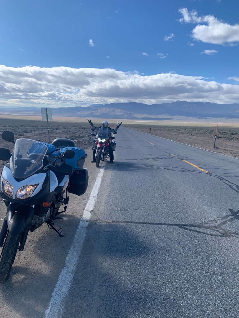
By the time we reached Bishop, the temperature was around 102 degrees. After a quick refuel, we made our way east and north on US-6 headed to Benton where we would then head west on CA-120 to Lee Vining and US-395 north back to Bridgeport, the Bridgeport hardware store for super glue, a bite to eat and provisions for some Perseid watching at our camp at Doc and Al’s.
Get this, we had cooling vests that when soaked in water, afford some relief from the heat by way of evaporative cooling. Did we elect to adorn them in Bishop? Negative. Compelled by the unrelenting heat, we embarked on the ~35 mile ramble along the western slope of the Inyo Mountains to Benton. It was miserably hot but there was some relief along the route where adjacent irrigated alfalfa fields yielded somewhat lower temps. Some decisions are best not ignored…
Note: It just so happens that upon my return from our Perseid Ramble, I watched Brent Underwood’s, Ghost Town Living YouTube channel about the Jeffrey mine located east of those irrigated alfalfa fields.
I Climbed To A Forgotten Mine That Transformed The Automobile Industry

Bishop to Benton in the heat of the day
In Mr. Underwood’s own words: “In this video* I take a beautiful trek to a mine that once produced a mineral that they called “more rare than gold!” It was a mineral that was only commercially mined in this location in the entire world, yet it was responsible for something that is part of our everyday lives.” If you guessed the mineral to which he referred that went into the manufacturing of spark plugs in the earliest era of automobiles, you’d be incredibly prescient. Once again, how tough were those seeking reward in the early days of mineral extraction in the deserts and mountains of California and Nevada!

One of the last payphones in California? Not a gold mine, but at $0.25 per call, it might supplement SSI benefits
The Guzzi’s air cooled engine preferred the shade, what little was available
In Benton we came to our senses and rehydrated with questionable energy/electrolyte beverages. We did finally soak our cooling vests for the ride into Lee Vining.
Boundary Peak
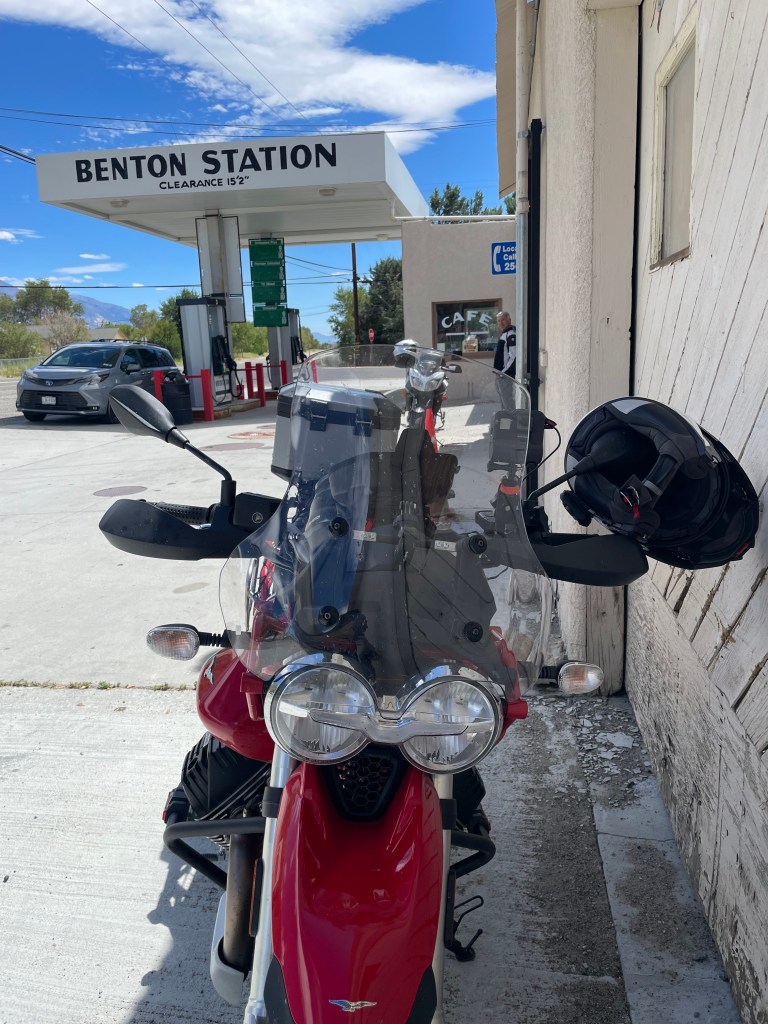
Benton Station whose gloried past was just that…
Benton is one of the oldest existing towns in Mono County. The town was founded by the western [Piute and Shoshone] Indians who came to make use of its hot springs. As the nearby towns of Bodie and Aurora grew in size and population, Benton soon became a checkpoint for southbound travelers in 1852. Gold was discovered in the hills of Benton in 1862, and its population quickly grew. After the initial gold strike, little more was found. Benton’s profits were soon primarily from silver. Unlike other mining towns, Benton was able to provide enough for the town to thrive and flourish for approximately 50 years in supplying the more prosperous mines in the area. Although most mining activity occurred between 1862 and 1890. The Carson and Colorado Railroad reached Benton in 1883. (Wiki)
Once a small mining town with up to 5,000 inhabitants and with many of the original buildings remaining, the town has never completely died. The gas station/cafe and adjacent, Smally’s Market, along with the Inn at Benton Hot Springs sum up the commercial side of this quaint intersection at US-6 and CA-120 that provides the current residents and tourists with an approximation of the thrive(ing) and flourish(ing) of the town’s past.

A-120 from Benton to Lee Vining is one of my all-time favorite moto routes
Sweeping curves, open vistas, undulations, a juniper forest corridor, and Mono Lake make this route through the volcanic landscape of the Eastern Sierra a motorcyclist’s dream!

Whhhoooop-whhhoooo!
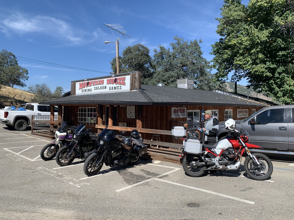
Back in Bridgeport we secured some Gorilla Glue and made our way back to Doc and Al’s to make repairs on the pants before heading to The Barn for their acclaimed Carne Asada Fries. While I find much of Wonderhussy’s YouTube content amusing, her culinary recommendation leaves the epic out of epicurean. I found her endorsement of The Barn’s Carne Asada Fries to be less than epic. Satisfying, but not epic. The burgers and other menu items are great, even the fish tacos I have had on previous visits were among the best I’ve had in this land of little rain. The asada, however, was nada.
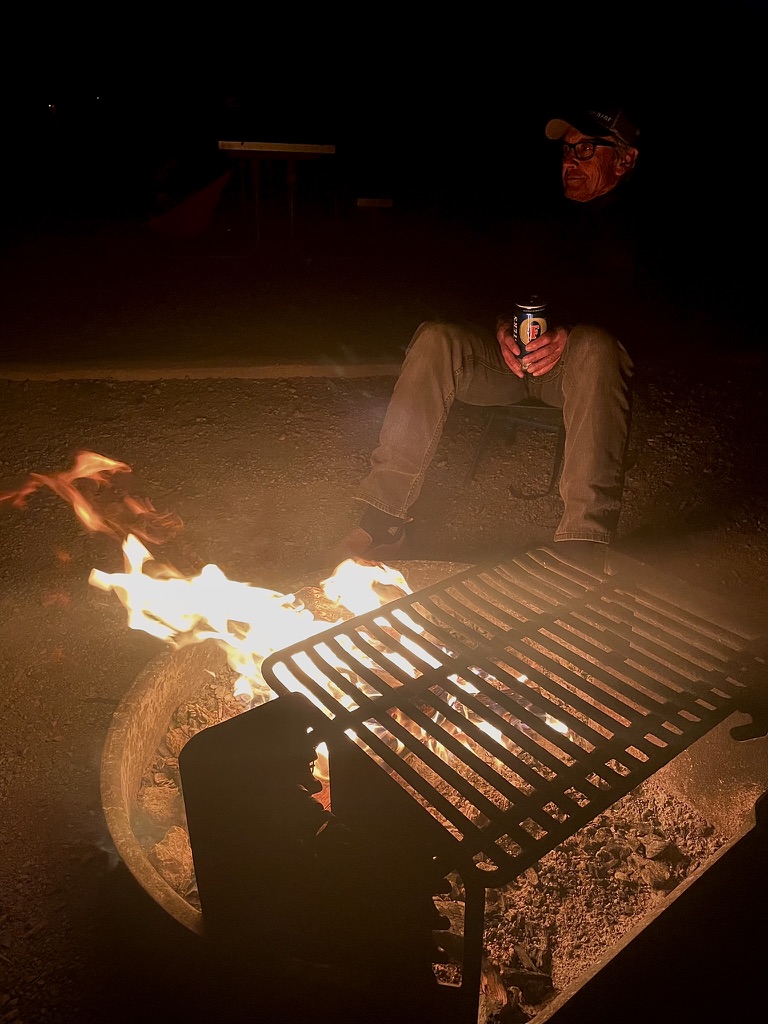
By nightfall, my germinating head cold had blossomed into a raging sore throat, headache, runny nose, and coughing/sneezing affliction. So much so that my 3R’s were reduced to a single R, reflection. There would be little relaxation and no rehydration, least wise of the fermented beverage sort (okay, maybe most of one) as it was all I could do to enjoy a cozy campfire and what turned out to be a satisfying meteor sighting event. Fortunately for Pete’s sake, we saw a good two dozen or more significant meteor trails in the course of the hour or two that we endured beginning at the appointed 11:00 pm showtime. We also had to burn through three bundles of firewood procured from the campground office. My less than enthusiastic disposition didn’t dampen Pete’s excitement at viewing the meteors, Starlink and other satellites impersonating UAP’s, roaming the heavens in our fertile imaginations.
I cannot take credit for the photo, though we saw several like this one Perseid meteor shower: Bill Ingalls/NASA via Getty Images
Laurentius was said to have cried out, “I am already roasted on one side and, if thou wouldst have me well cooked, it is time to turn me on the other.”
Day 3 – The Curse of St. Lawrence’s “fiery tears”
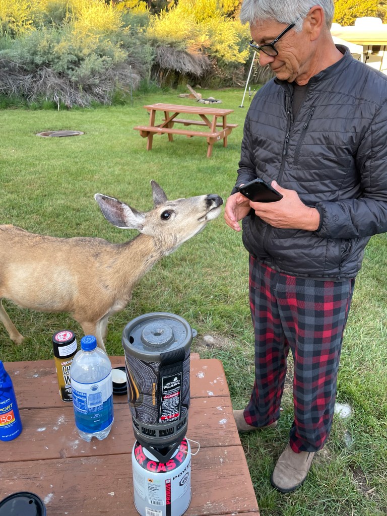
The next morning I was no less congested. As we were enjoying our ritual mochas, we were visited by some local denizens, perhaps employees of Doc and Al’s.
It was time to pack up and head home. I think the route back from the East Side over Sonora Pass is more difficult than the ride up and over the western slope. Namely because there are a series of 10 and 15 mph uphill compound curve switchbacks that require a little braking/throttle finesse that when loaded with gear tends to increase the pucker factor.
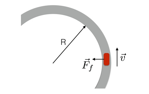
Pucker Factor Formula
If you ride or remember high school physics, the graphic above makes sense. If it doesn’t, refer to Burr Trail Here We Come, a blog from a previous tour to Utah. Towards the end of the blog, I explain how similar uphill compound curves on CA-4 over Ebbetts Pass resemble those on the way to summiting Sonora Pass from the east and how they are fraught with pucker peril.
Sonora Pass, CA-108 from the East
Like the 45 minute leisurely walk to the midpoint of the trail ride and 15 minute gallop back on the return leg of the 1 hour horseback ride at the beach, our only stop on the way home was in Jamestown at the 76 Station just off of CA-49 to soak the cooling vests for the remainder of the ride across the sweltering foothills and plains home.
Upon descending from the pass, el. 9624 feet, my eustachian tubes were now filled with covid spooge and were comparably aching to ear infections I incurred during long summer days spent in the 17th Street Pool in Merced as a lad. You might say I was experiencing tympanic panic, especially as I extracted the ear plug we use to soften wind noise in one’s helmet. You see, air in the middle ear expands as one gains altitude, and pushes its way into the back of the nose and mouth. Then on the way down, the volume of air in the middle ear shrinks, and a slight vacuum is produced sucking spooge from one’s sinuses into the eustachian cavity while making the removal of the earplug a painful ordeal, in this instance, requiring the Leatherman tool to extract. Since space abhors a vacuum, covid spooge filling my eustachian tube, also called the auditory tube or pharyngotympanic tube, hence tympanic panic.
Passing our favorite taco truck in Snelling, M&D’s, despite what I’m sure was Pete’s voracious hunger, we rambled on, weary from the heat. When finally I pulled into my driveway back home in Merced, I immediately took off the ATGATT costume and jumped into a cool shower. Somewhat refreshed, I managed to remove the panniers from the moto and garage the bike before becoming overcome by fatigue. It was then my, wife who in responding to my text that I had arrived safely home, suggested I take a covid test.

HOLY SCHNIKES! Well, at least it wasn’t pneumonia…
In spite of dutifully updating my vaccinations, it was then that I conceded my attempt to mask my condition as a head cold, like those of my days in the classroom that would visit me not long after the resumption of the school year, was at best an incautious ruse. Thankfully Pete, who had been belted by the C-19 only a few weeks prior, tested negative upon my notifying him. As for any of the other folks with whom I shared a common air space, Typhoid Tommy begs your forgiveness! Alas, whoever infected me, be damned!
A course of Paxlovid and Benzonatate later and my recovery is nearly complete. Just don’t let my wife know that my (fabricated) covid symptom of “brain fog” or hearing loss is as much of an excuse for being lazy or intentionally inattentive as it is likely real. As always, thanks for enduring my overwrought loquaciousness and stunningly mediocre photography. Check the blog at www.sisyphusdw.com for other harrowing tales of geezers on bikes.
Arrivederci!
Postscript, August 27, 2024
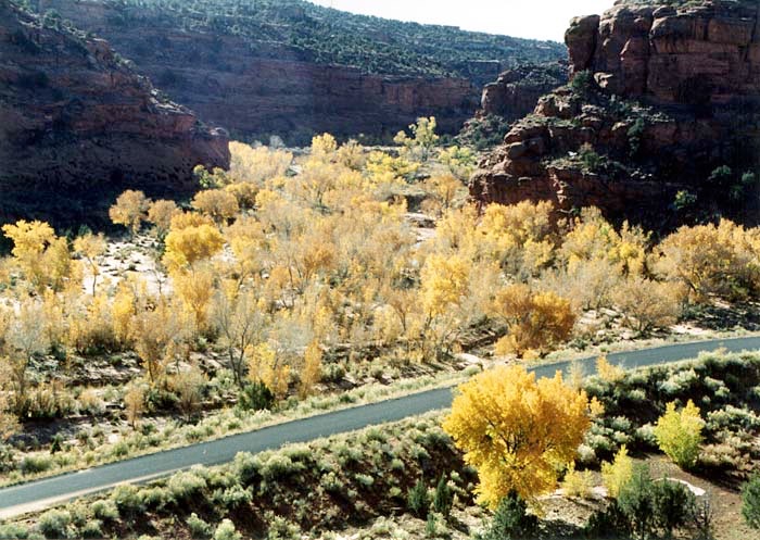
An early October trip is in the works. We’ve wanted to ramble into northern California and Oregon. We’re hopeful that the fires that have plagued the region this summer will have abated. Then there’s a return trip to Utah that might just compel a trip east. Ours is a curse of abundance when it comes to planning one of these rambles!
In either case, thanks for joining us from the comfort wherever you can catch a screen…