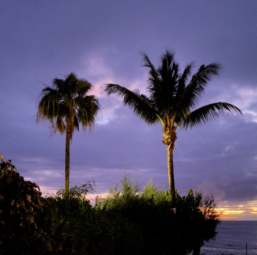
Reconciling expectations with reality

With Abbey’s admonition to seek refuge in the desert, it seems to me that best time to travel by motorcycle on secondary “Butler G1-3” or “Lost Highway” roads in arid California and the Western US depends on the direction you’re heading. We live in California’s Central Valley in Merced which has a fairly predictable climate – hot summers, temperate and windy springs, warm dusty falls, and cold, sometimes foggy, wet winters. Though the weather can be unpredictable, weather forecasts are quite accurate, with NOAA reporting a 7-day forecast is 80% accurate and a 5-day forecast is 90% accurate.

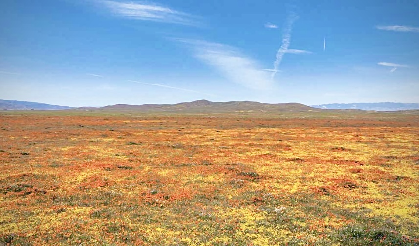
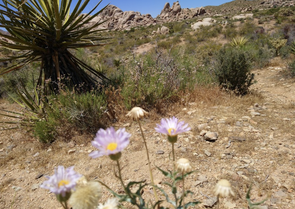
If you’re traveling south towards the Mojave Desert, the winter, early spring, or late fall weather is generally more appealing keeping in mind that this region experienced record-breaking 100+ degree days during the summer of 2024.
Heading east across the central Sierra Nevada passes like Sherman, Tioga, Monitor, Ebbetts, and Carson, are typically closed by the first snows as early as late October and don’t reopen until around Memorial Day in May. That leaves the summer months of June through September as the prime window for snow-free roadways in these areas. However, crossing the western foothills to get to those passes can still be quite hot during the summer months, and once you cross over into the high desert and Basin and Range regions of Nevada, the heat can be uncomfortable as well. Fortunately, the southern Sierra Tehachapi and Walker passes provide access to the Mojave year round whether the weather is hot or cold.
Traveling north presents similar weather uncertainties. The summer monsoons that have brought more frequent and severe downpours to the Southwest and Pacific Western states in recent years can impact northern routes as well.
While winter weather is generally cooler the farther inland and north you go, the smaller state highway mountain are more likely to close as resources are prioritized for keeping major interstates open. Mustn’t we forget wintertime atmospheric rivers that can inundate parts of the Pacific Coast and far inland. For northern trips, the best bet is generally to travel in the early summer, before the peak heat of July and August sets in across the region.
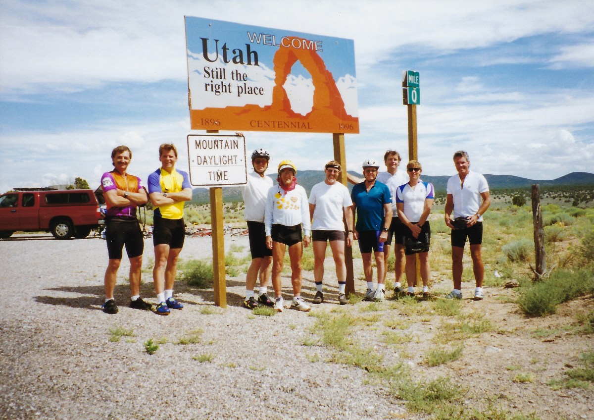
Regardless of the time of year, it can be tricky to pick the “perfect” 10-day or longer window to ramble the region on a motorcycle. But with confidence in the 7-day forecasts, you can plan accordingly. That’s how you chose your 2024 Seeking Refuge on a Fall Ramble to Utah, – trusting the weather predictions to guide your route and timing.
Off to Mukuntuweap

with the ectopic middle digit just to the right
After finalizing our travel plans for a late October ramble, Pete, Sisyphus’s Chief Associate, and I settled on a south-easterly route – heading over Tioga Pass, down the Eastern Sierra, across the Mojave to southwestern Arizona, then north to southern Utah and back west through Death Valley. Our destination for this trip: Zion National Park.
Zion, as it’s known today, was originally called “Mukuntuweap” by the local Paiute people, meaning “straight canyon.” This name was later co-opted by Mormon pioneers who settled the area, just as the Mariposa Battalion had appropriated the name “Yosemite” a century earlier based on the original name given the valley by its Southern Miwok inhabitants. While “Yosemite” at least bears some resemblance to the native “Yos.s.e’meti,” the transition from “Mukuntuweap” to “Zion” feels like a blatant act of cultural erasure. It’s a sobering reminder of how Manifest Destiny has stamped its mark across the western landscape.
For Pete and I, seeking “sanctuary” or “refuge” in Utah seemed a reasonable goal, unlike and with respect to, the preceding generations of indigenous peoples who were displaced from these lands. With confidence in the 7-day weather forecasts, we felt we could time our journey to maximize the chances of favorable conditions. Despite the troubling origins of the name “Zion,” the park remains a place of spectacular natural beauty that has drawn visitors for generations, and we looked forward to experiencing its grandeur and serenity once again.
Well, as we found the grandeur, grand, serenity was a bit more problematic.
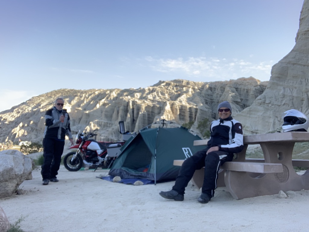
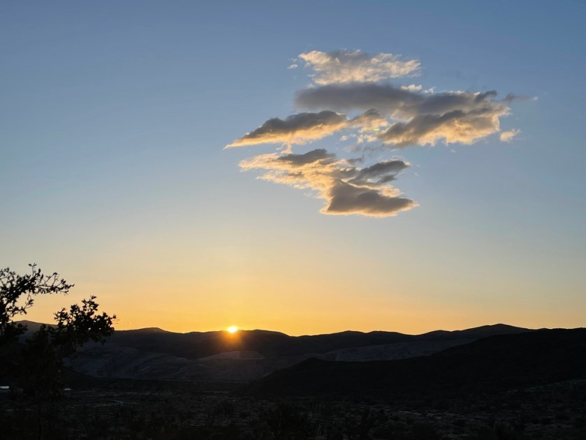
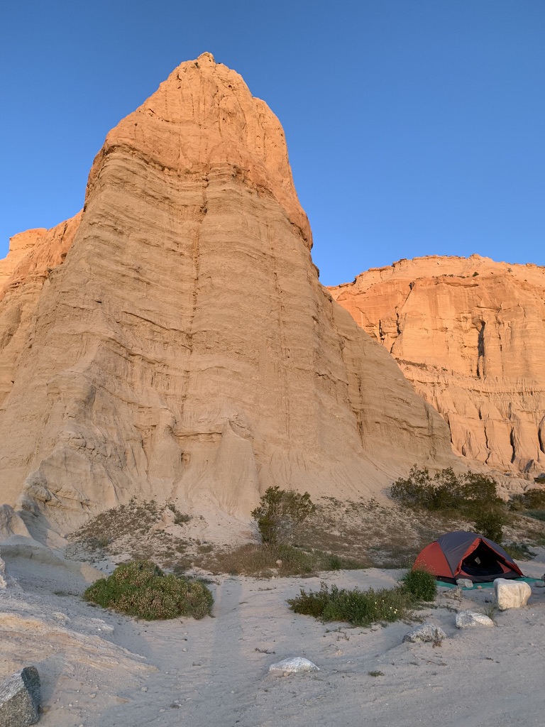
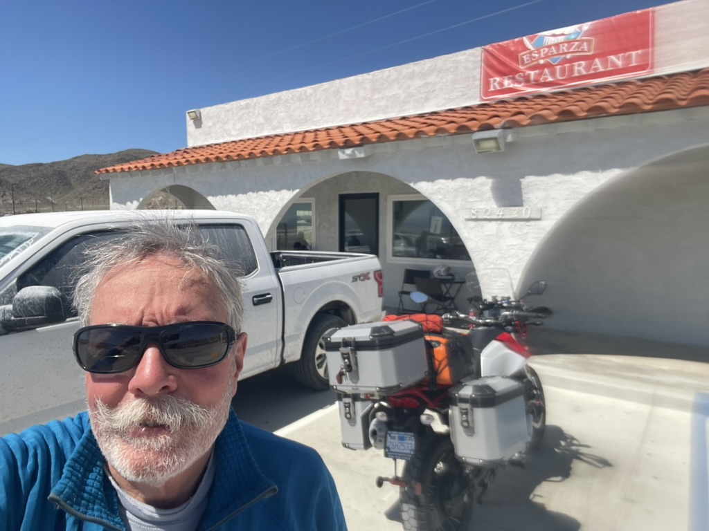
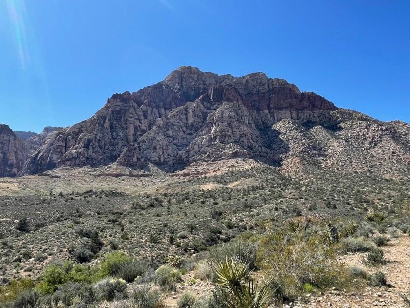
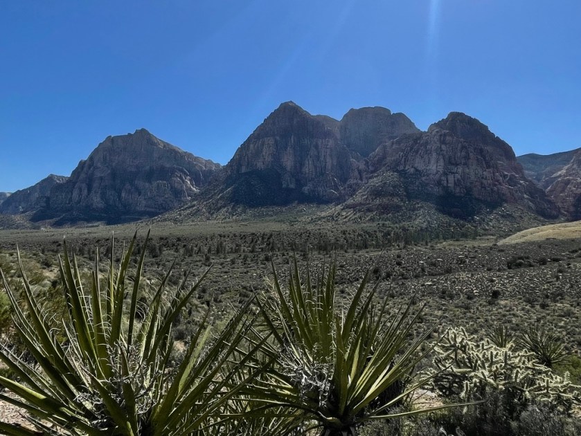
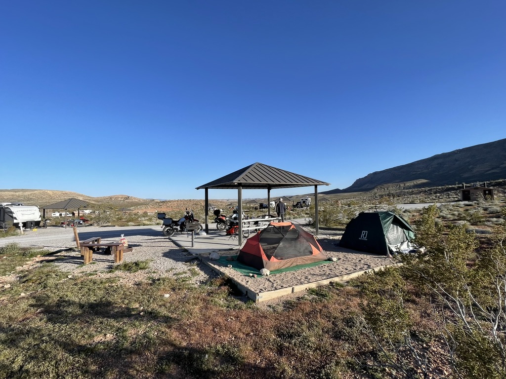
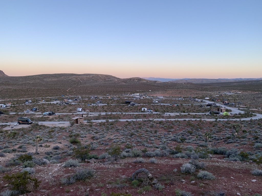
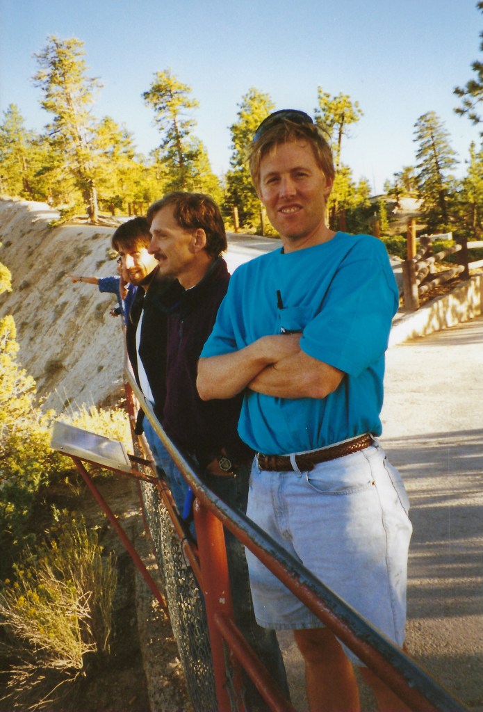
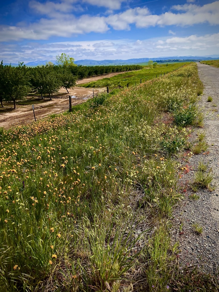
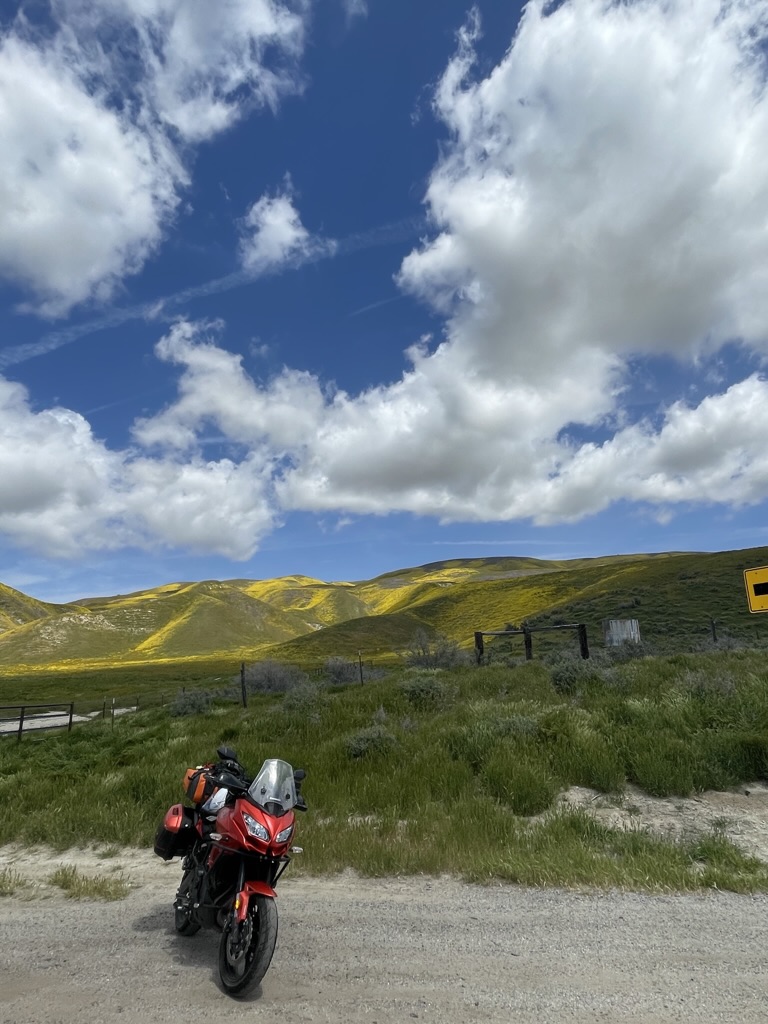
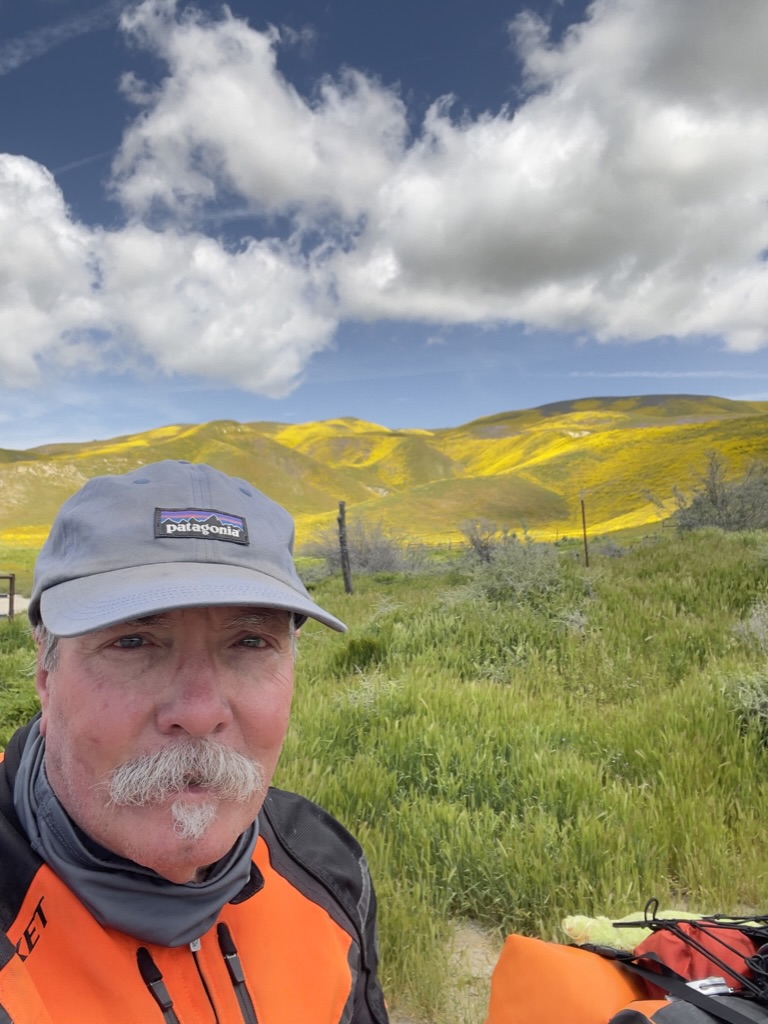
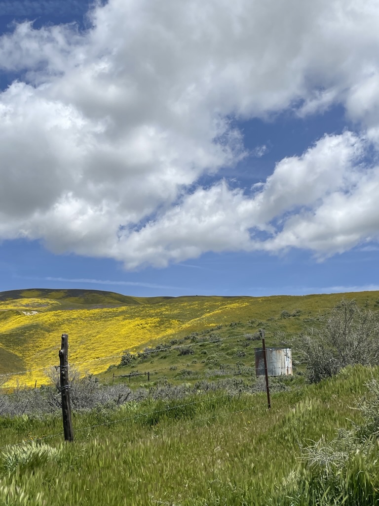
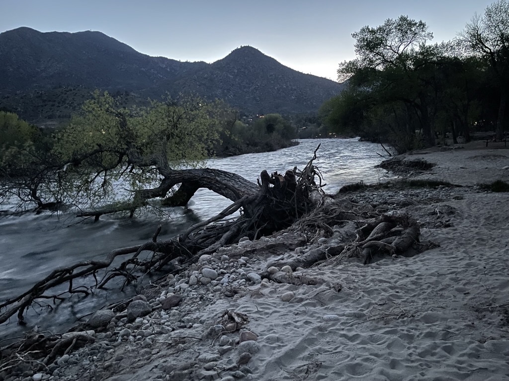
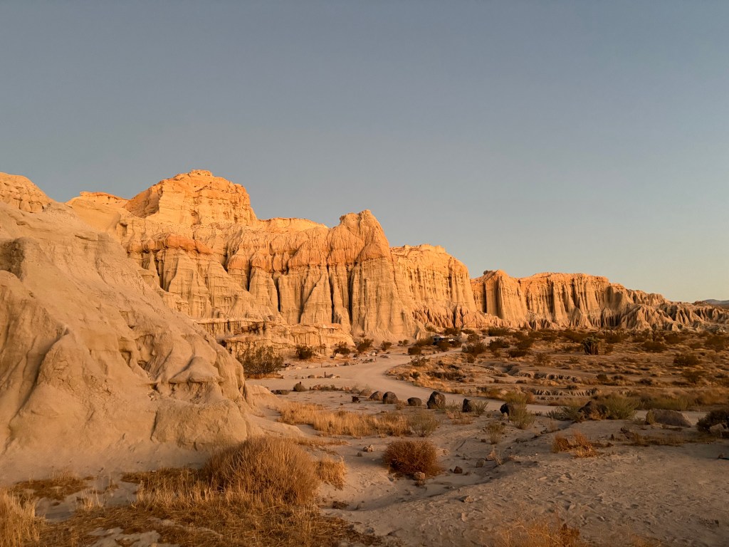
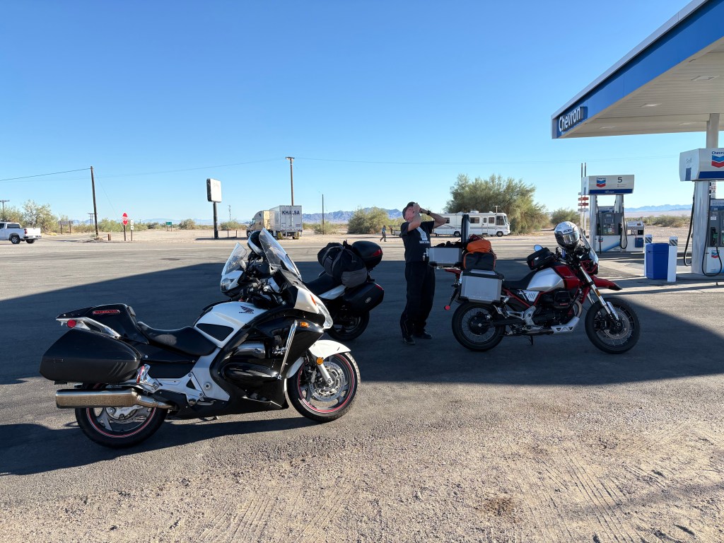
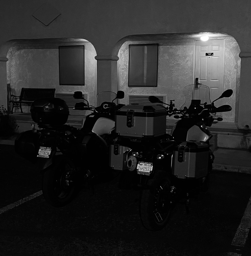
Day 1, October 22, 2024 – Merced to Red Rock Canyon State Park

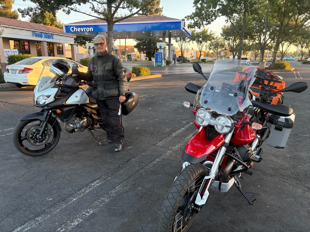
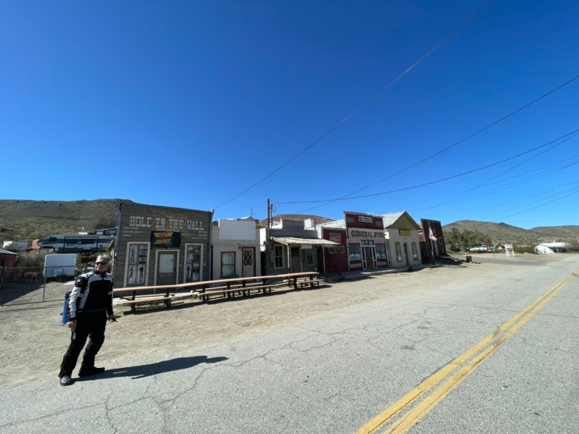
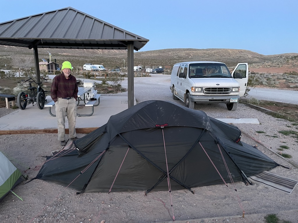
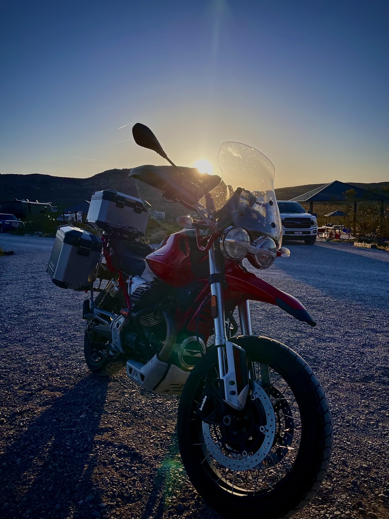
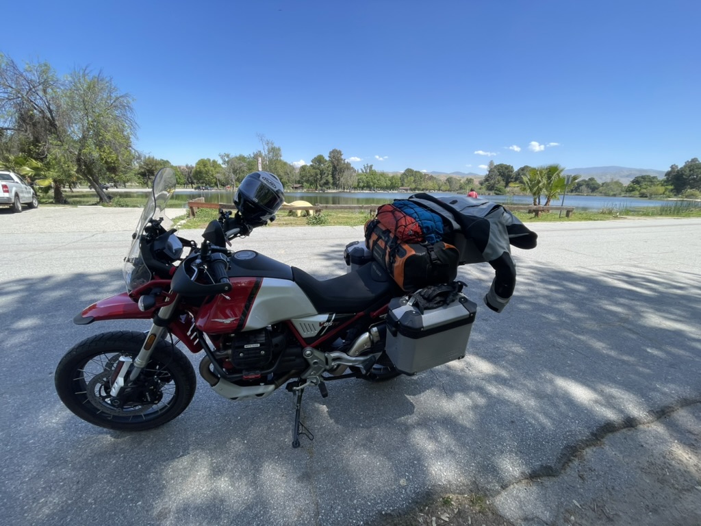
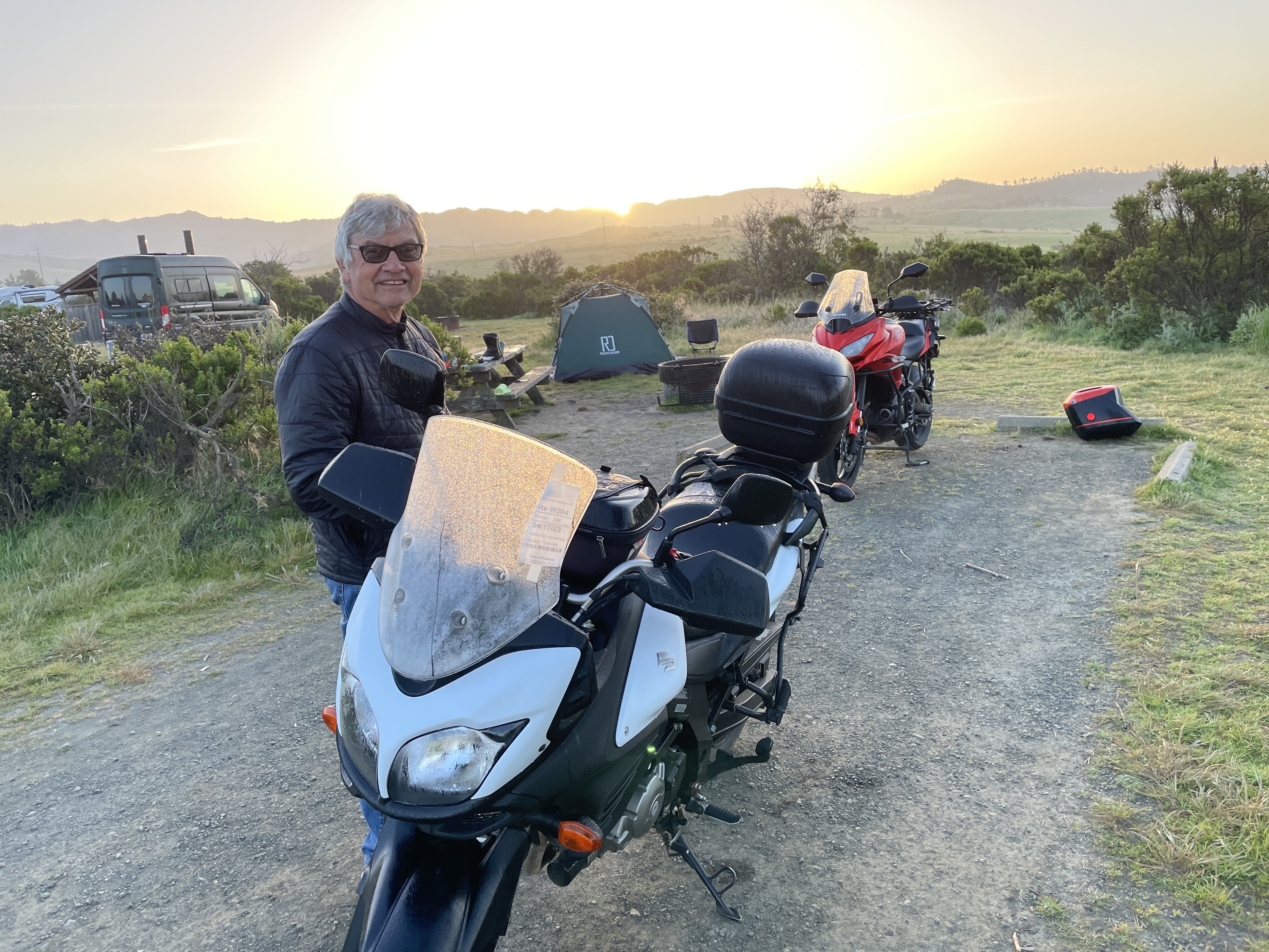
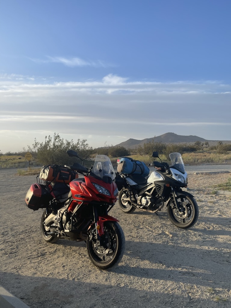
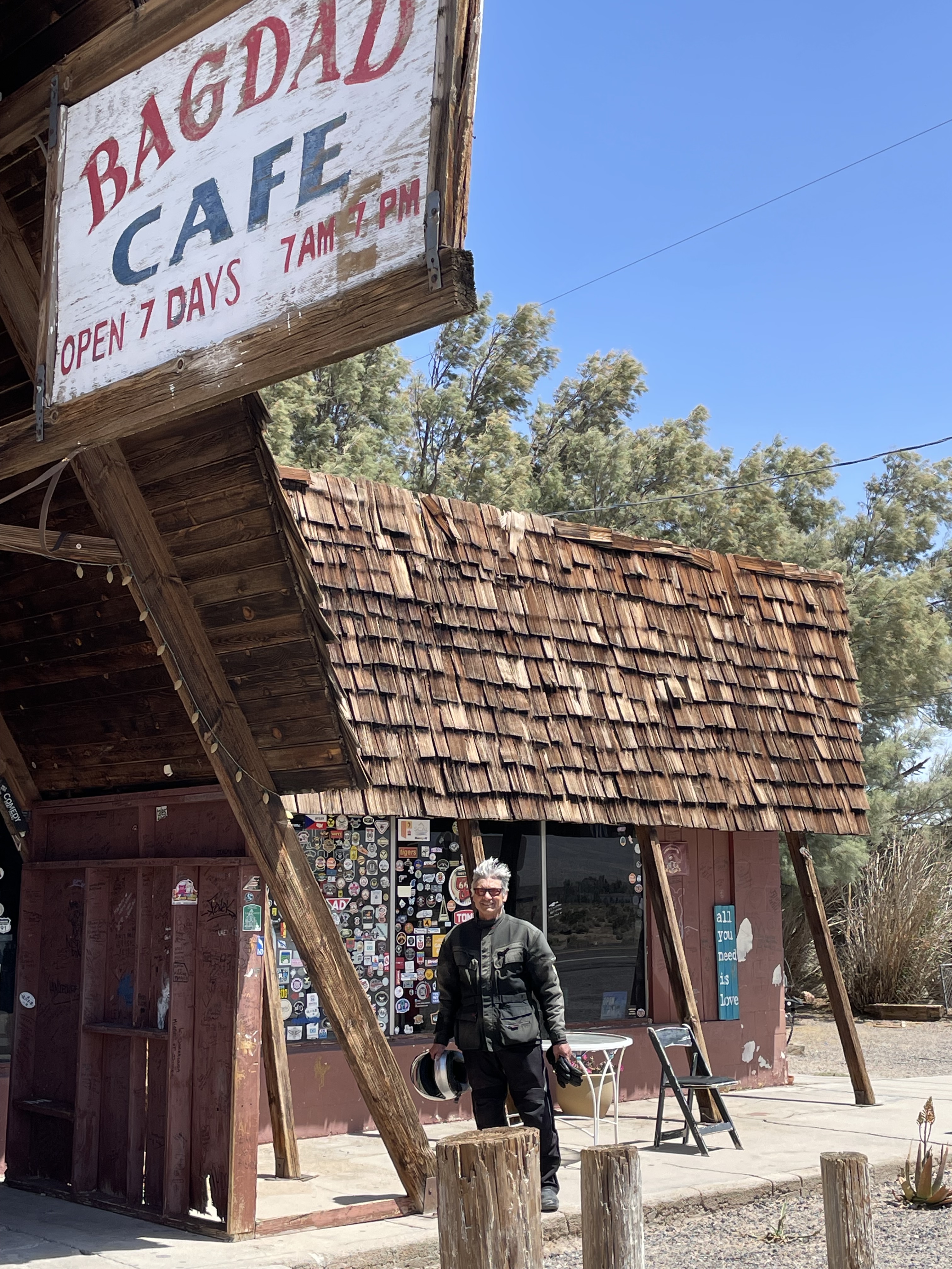
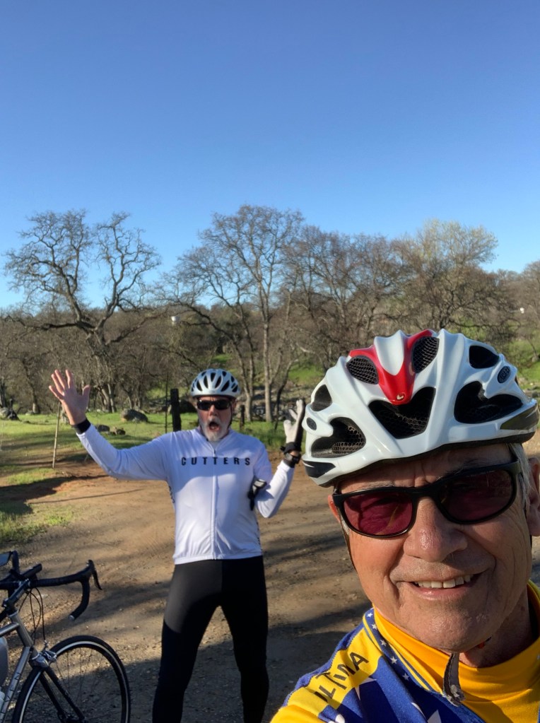
Ready to roll with the awkwardly obligatory send-off photos
Merced to Red Rock Canyon State Park
No longer requiring a reservation to cross the Sierra Nevada via Tioga Pass (CA-120), we set off from our usual starting point, the Chevron station on G St. and Yosemite Pkwy in Merced. The commuters heading west on CA-140 left the eastbound lanes clear until we descended into the Merced River canyon, where Yosemite-bound commuters flew past us on the brief broken yellow straightaways to which they’ve grown accustomed to passing the more leisurely traveler.
Once we entered Yosemite National Park, making our way up to Tuolumne Meadows was a generally tranquil, unhurried experience. Crossing Tioga Pass itself was pleasant, though a bit chilly. Fortunately, the traffic was not as bad as it can be, reduced to a post-Labor Day crawl that made the descent into Lee Vining a civil affair under multiple layers of warmth and heated grips.
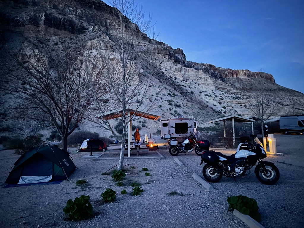
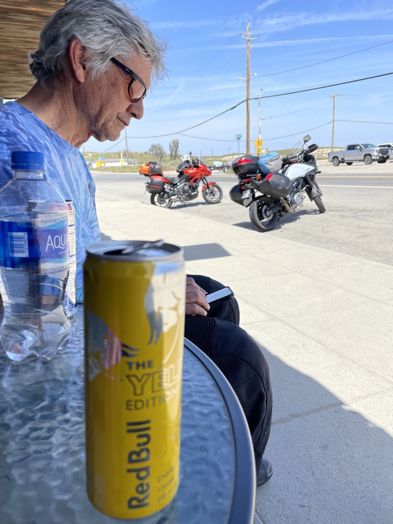
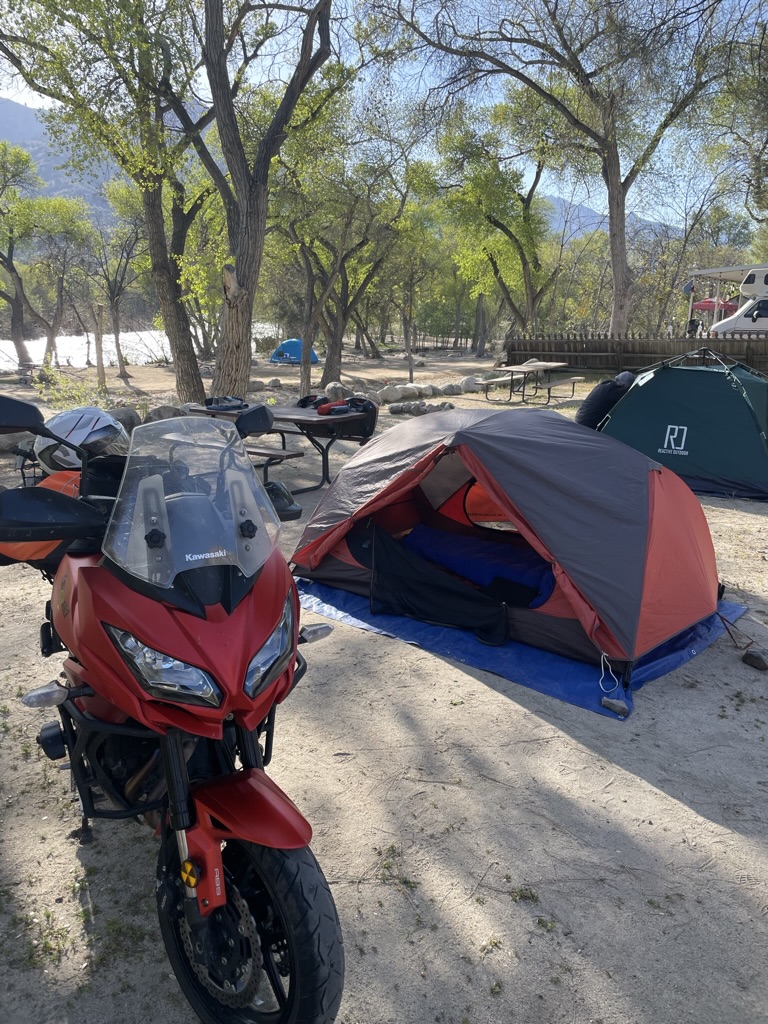
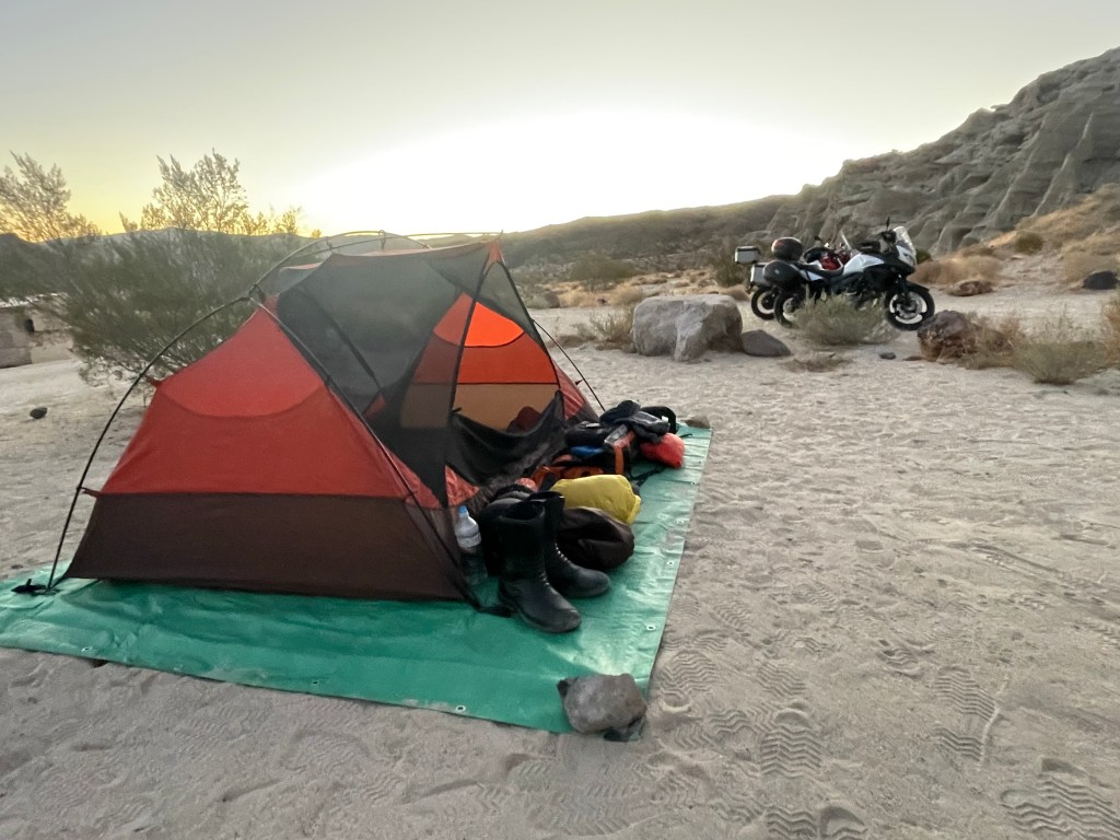
The rip down US-395 at 75ish mph was brisk but not so fast that the landscape became a blur. We stopped in Lone Pine for a late lunch (or “linner”) at the Bonanza Mexican Restaurant, then procured our “3-R” beverages (rehydration, recovery, and refreshment) across the street at the Lone Pine Market, since our intended campsite for the night was rather remote. A 353 mile day and we were home for the night.
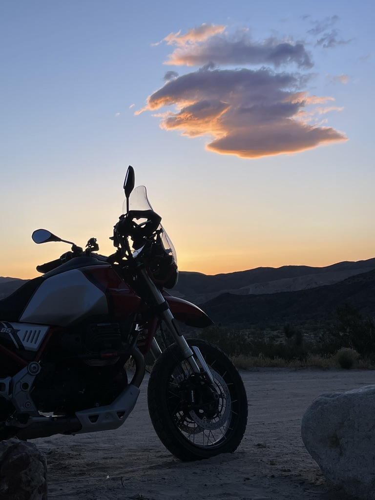
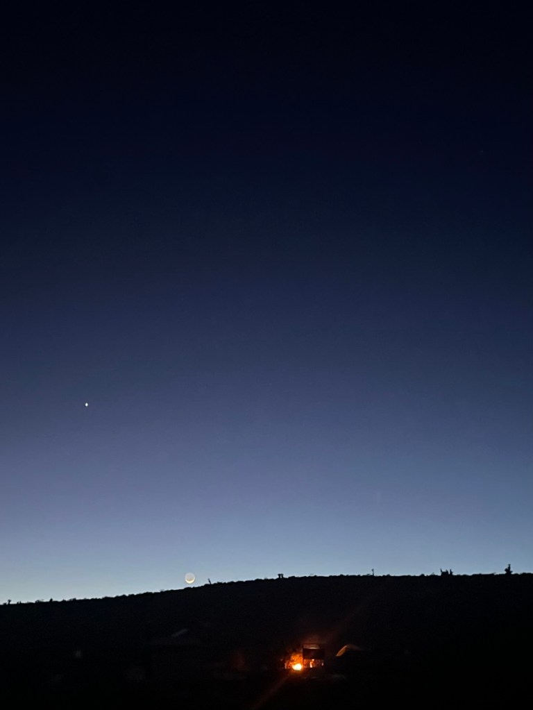
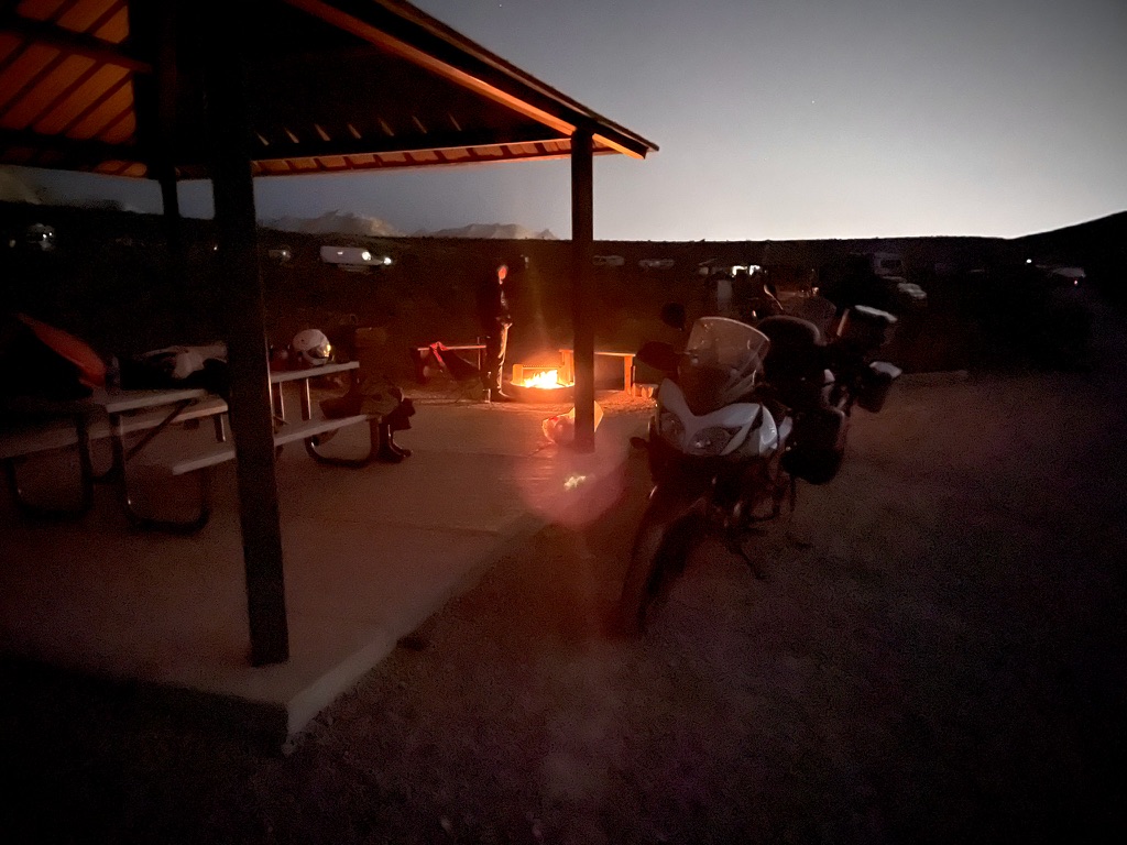
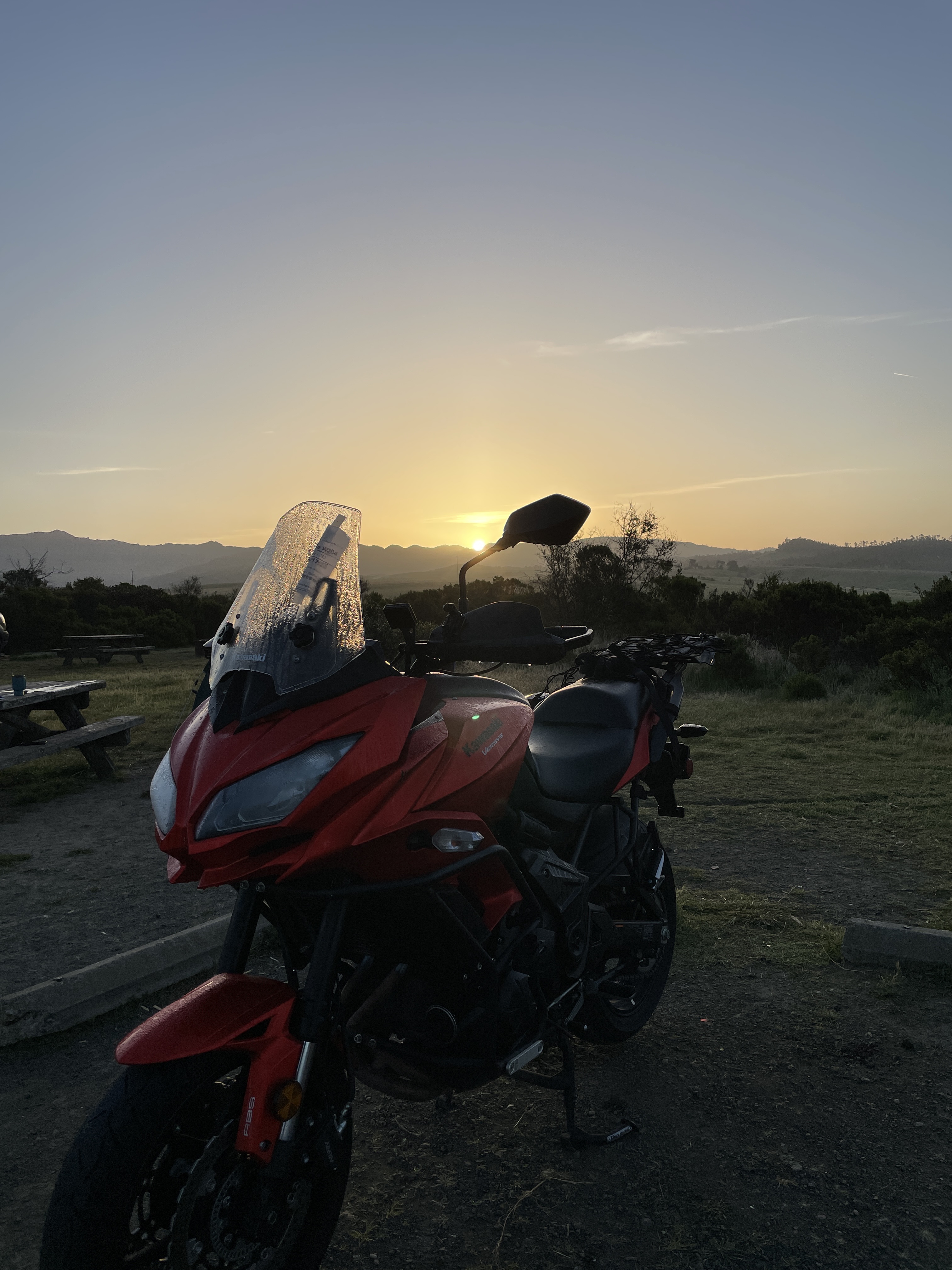
Tuesday afternoon…


Tuesday evening…


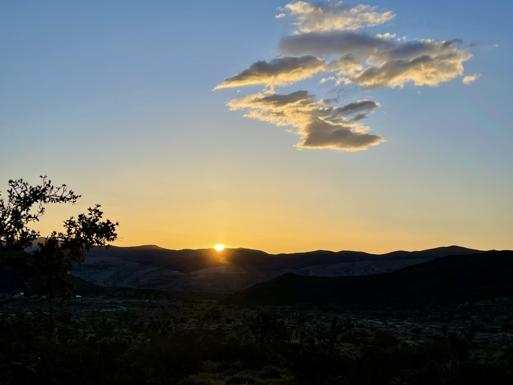
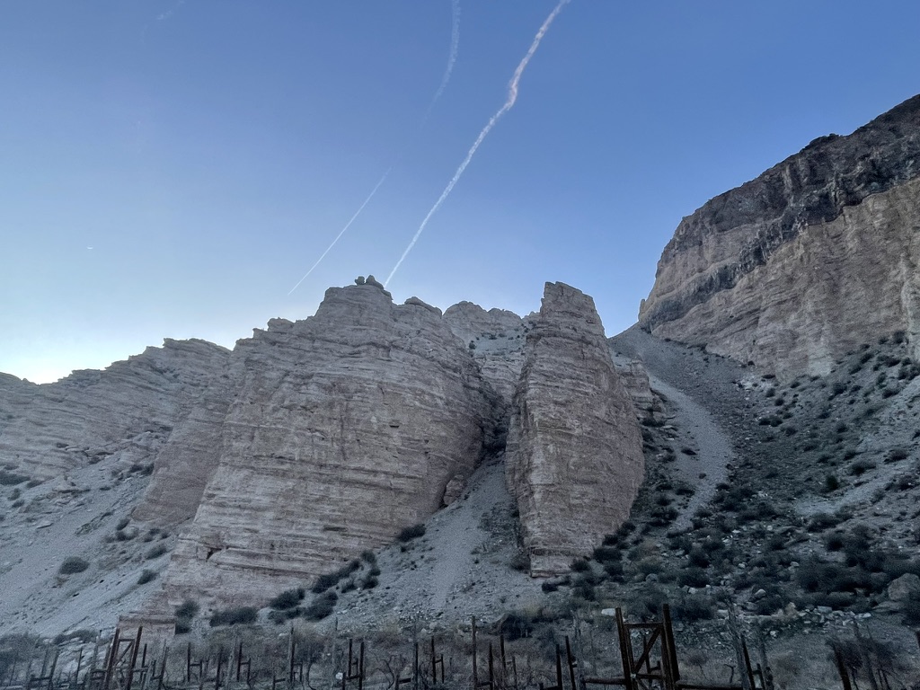
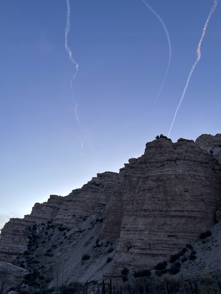
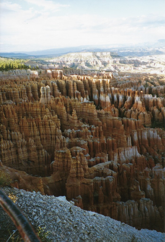
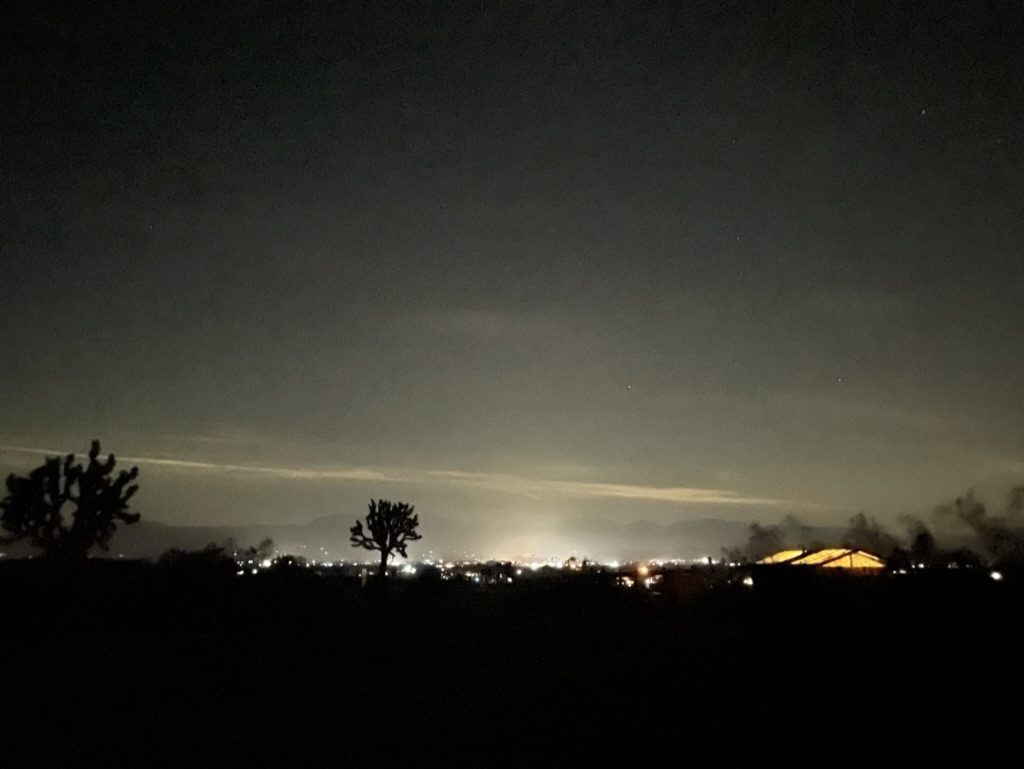
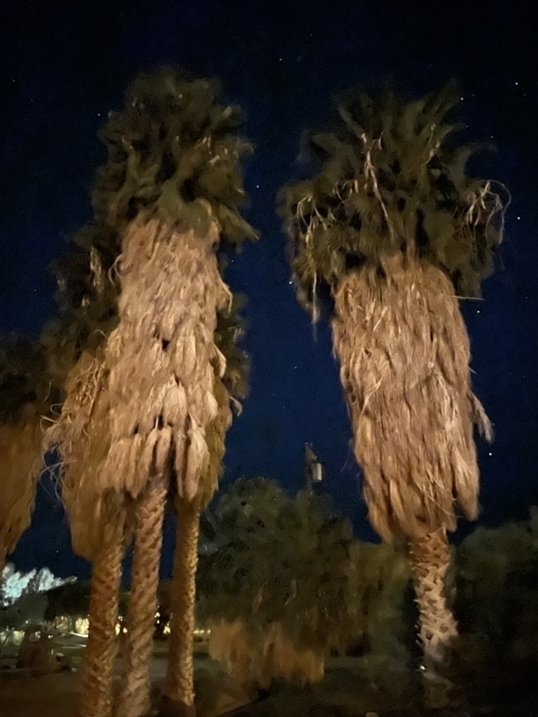
Ghostly hoodoos and the summer triangle vertices of Altair, Deneb, and Vega, each of which is the brightest star of its constellation (Aquila, Cygnus, and Lyra, respectively)
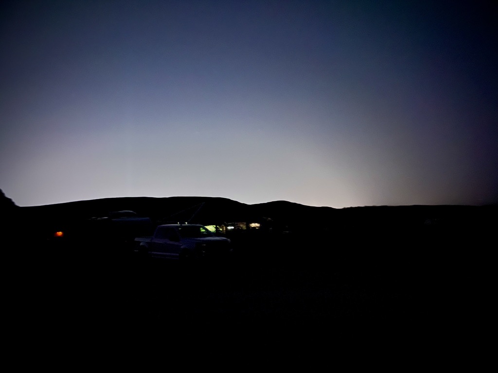
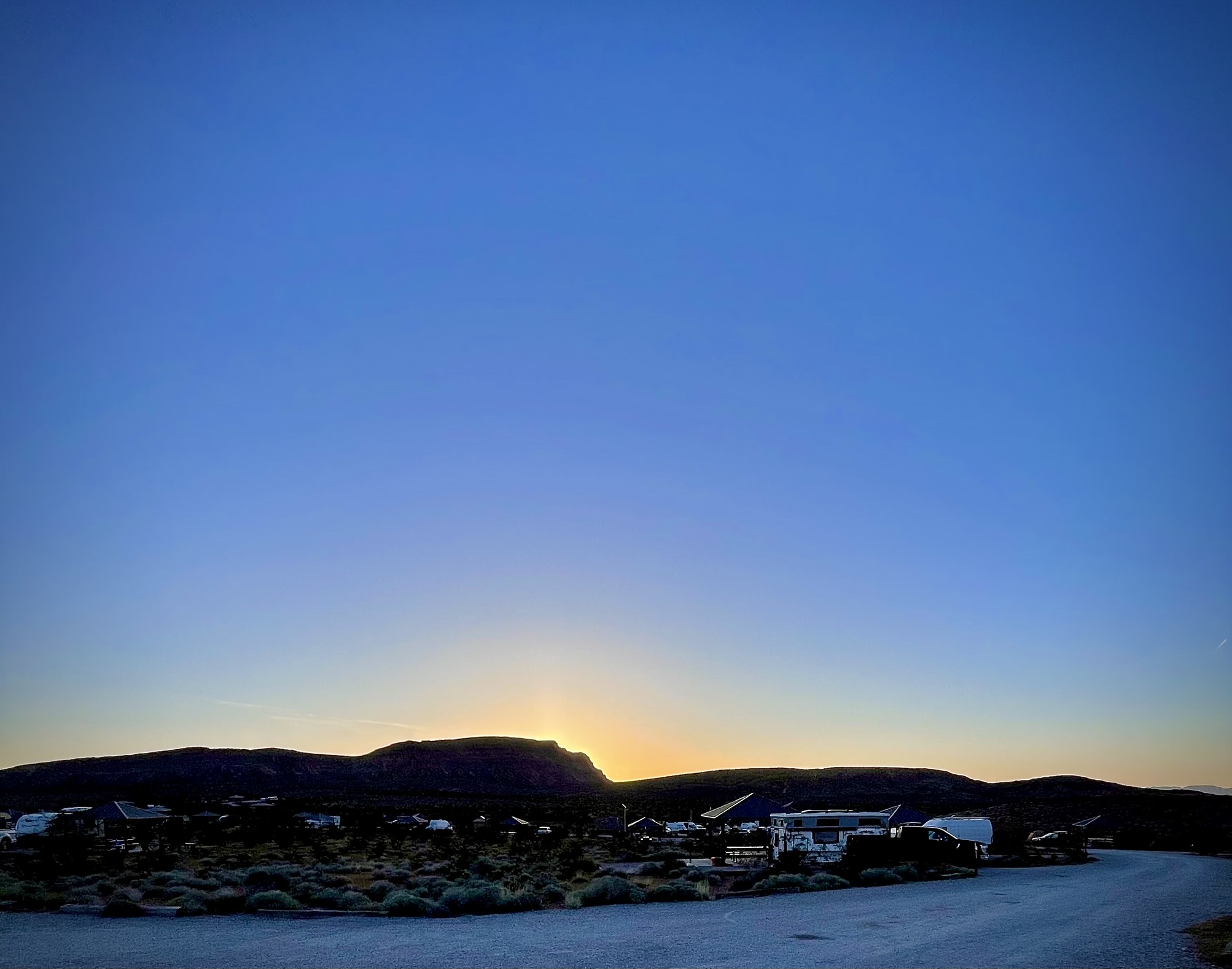
Wednesday morning…


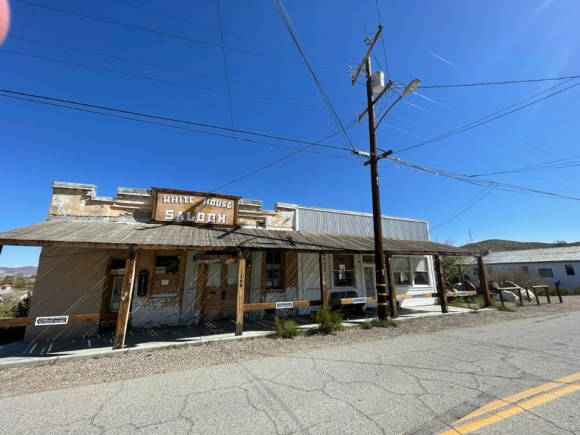
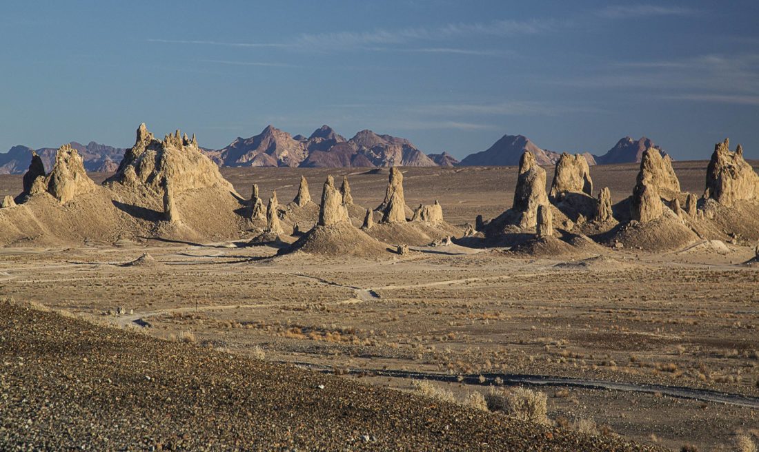
Day 2, October 23, 2024 – Red Rock Canyon State Park to Parker, Arizona
Red Rock Canyon State Park to Parker
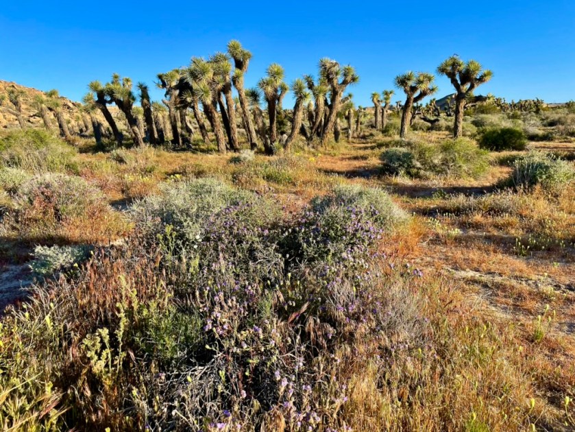
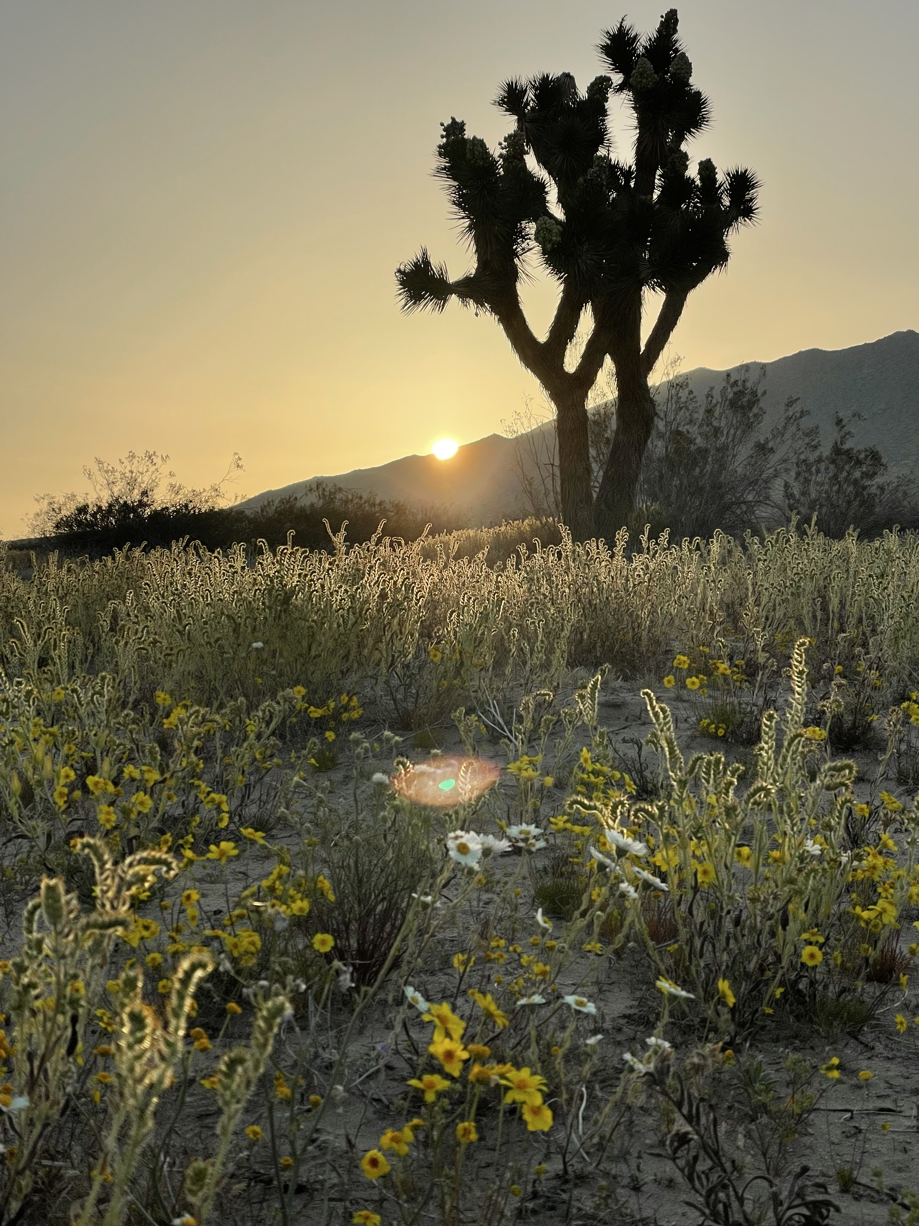
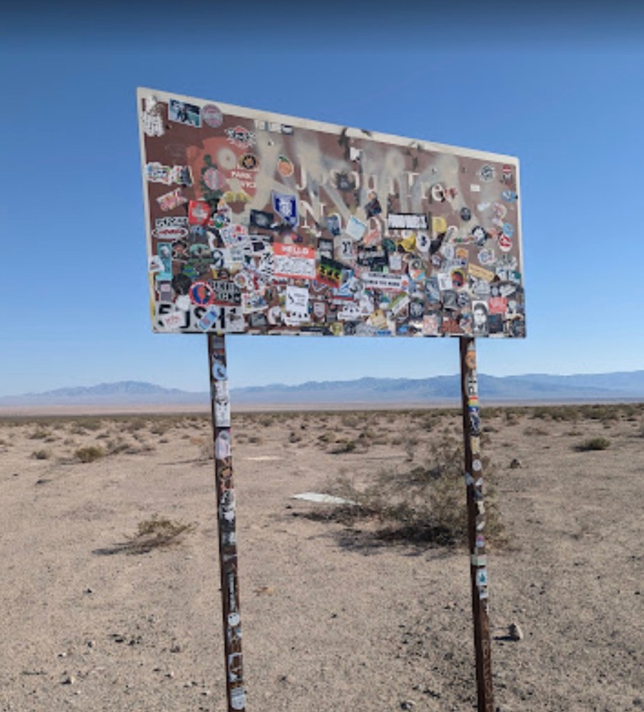
When planning our route, there’s always room for a bit of improvisation (hint: foreshadowing). Given that my riding partner Pete had traveled through the area earlier in the spring, we opted to avoid the slog down US-395 through the ever expanding exurb of Adelanto and instead made our way to Joshua Tree, by way of Barstow and CA-247 through Lucerne and Yucca Valleys, for lunch. Though longer than the more customary route on US-395, the Old Woman Springs Rd, proved to be a wise decision as it set us up for what would be our warmest day yet, crossing the Mojave on CA-62 and entering the sagebrush and saguaro of the Sonoran Desert en route to Parker, Arizona on a 298 mile day.
East of Twentynine Palms, we found ourselves on what is best described as a lonesome desert road. At the intersection of CA-62 and US-95 at Vidal Junction, we stopped for some “nalgas relief” (Spanish for “ass relief”) and a refreshing agua fria. There, we met a friendly woman trucker hauling produce from Fresno eastward who commented, having witnessed our pained expressions as we dismounted our motos, that our sore backsides were likely just as weary as hers. I imagine her air-conditioned cab compensated of any nalgas disorders…
The remainder of the CA-62 stretch from Vidal Junction to Parker, Arizona, in 95-degree heat, did little to relieve our “nalgas,” now feeling worse for wear. But as soon as we crossed the Colorado River, we knew we had entered at least a new time zone – both literally and figuratively.
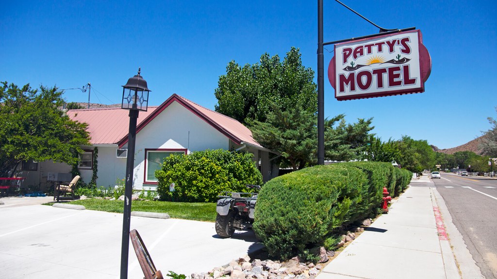
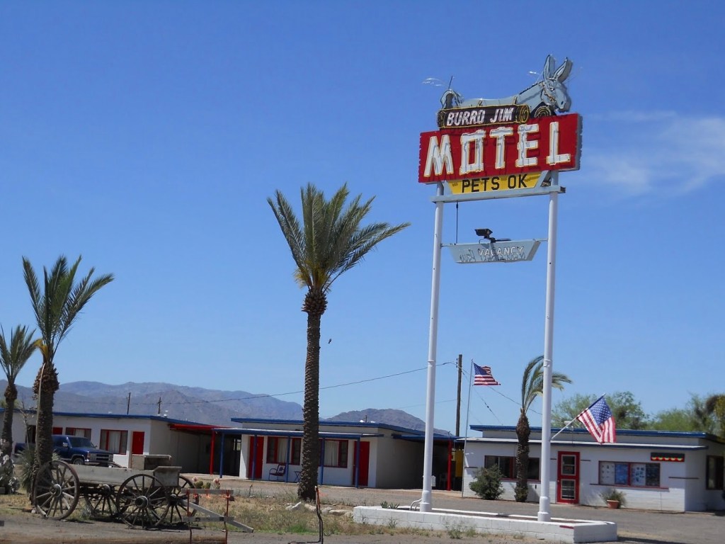
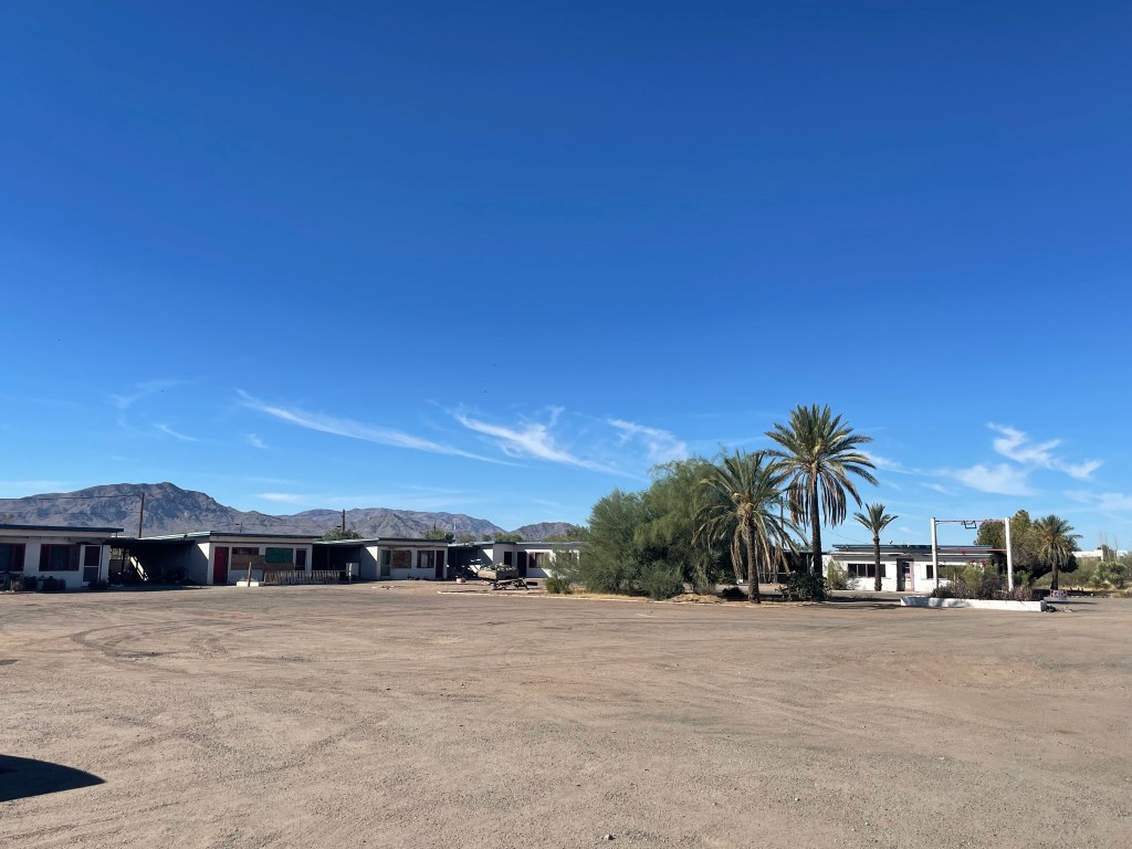
Finding the right accommodations is always an adventure on our moto tours. While I had previously stayed at the venerable Burro Jim Motel back in 1996. Burro Jim was another 84 miles down the road and so since it’s generally not advisable to ride a motorcycle through the desert in near 100 degree heat for nearly 400 miles, instead, we opted for the Budget Inn in the heart of Parker. In hindsight, I should have checked my old bicycle trip itinerary, as the Kofa Inn may have been the better choice. Alas, the Budget Inn, while functional, definitely lacked the neon “colorful funkiness” of the Kofa, it has fared better than the Burro Jim.


After a recommendation by our friendly host we enjoyed another satisfying meal at the Tierra Caliente Meat Market followed by an excursion to the Terrible Herbst Convenience Store.
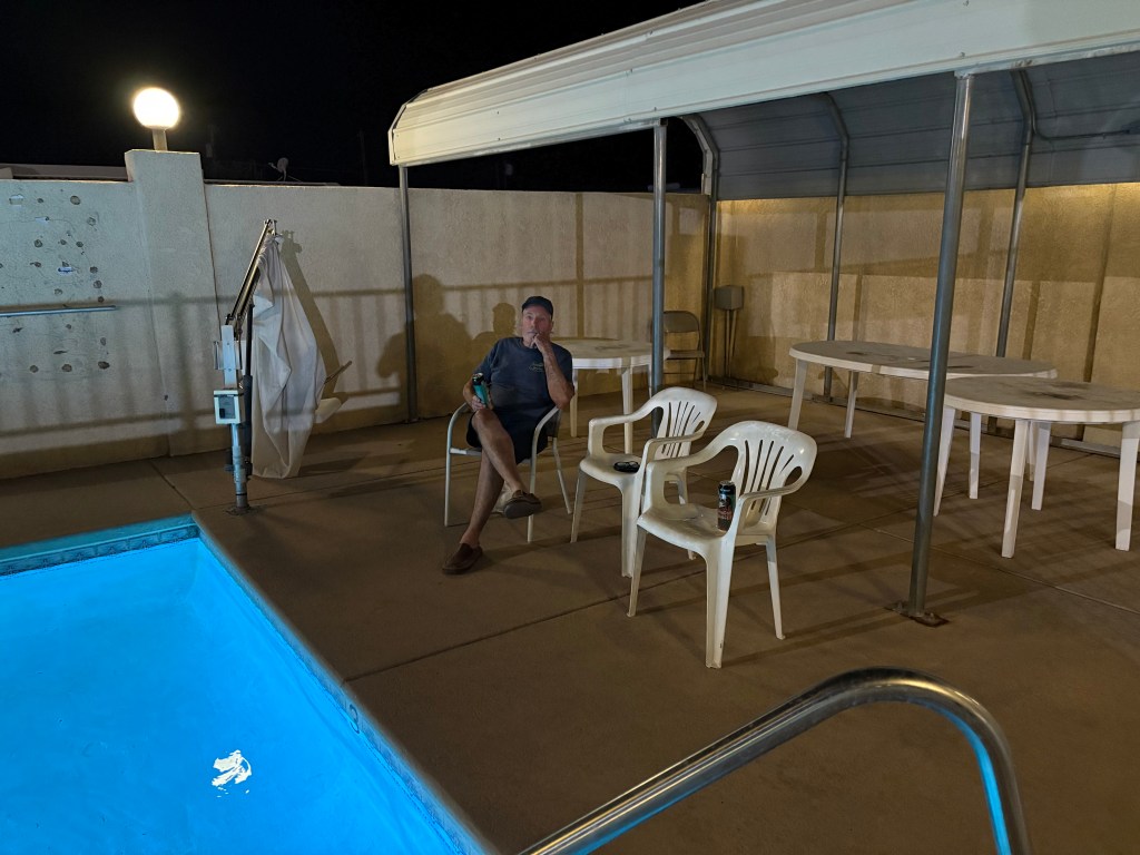
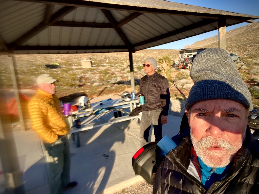
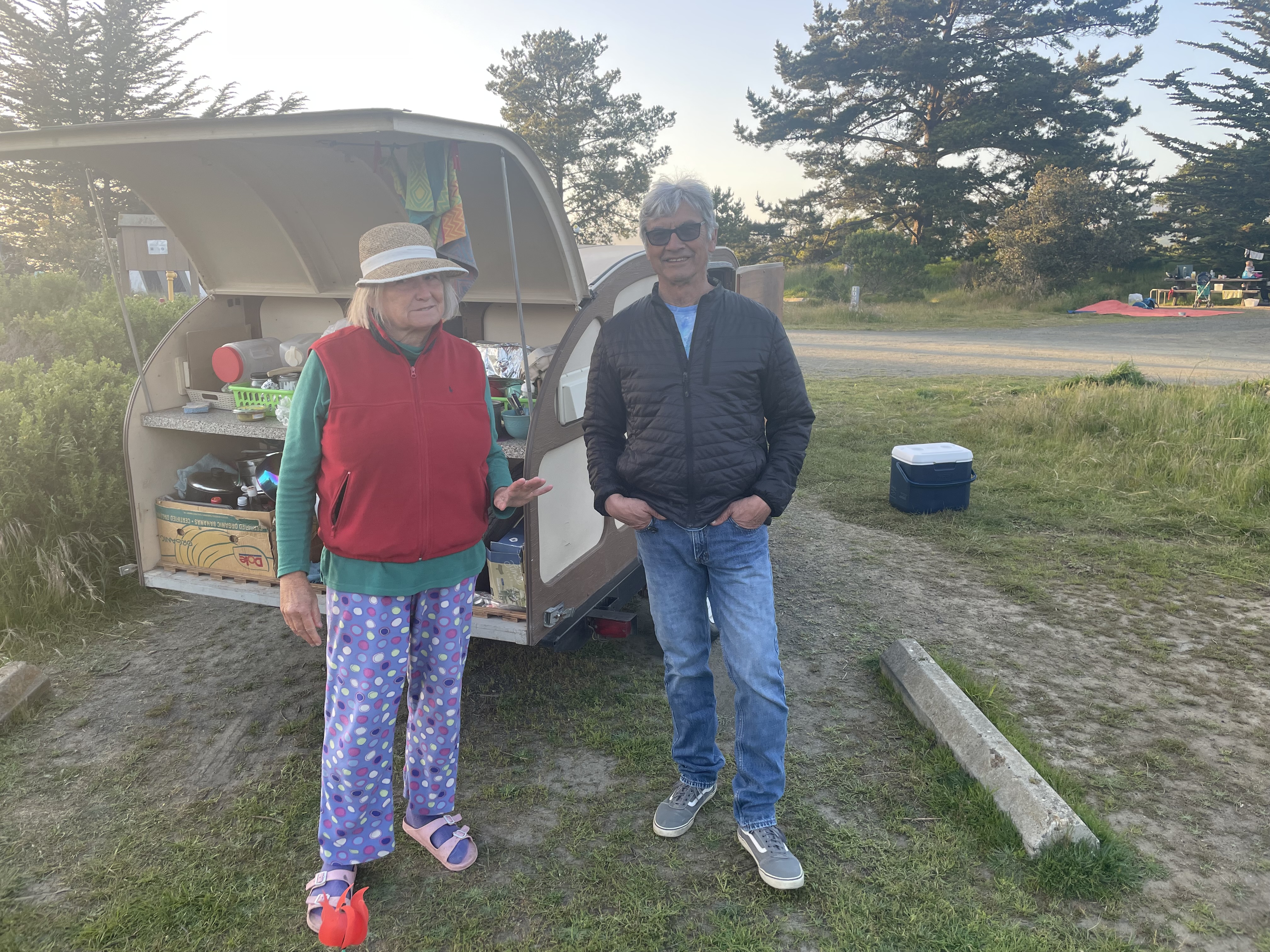
Our camera shy host and Pete, resting motos, and poolside relaxation, rehydrattion, and reflection in Parker, AZ
We exchanged pleasantries with a fellow who had his ski boat engine apart in the motel parking lot who assured us the boat would be ready for the weekend on the Colorado River. We then retreated poolside, as close to the Colorado we would get that evening, at the motel for some much-needed relaxation, rehydration, and reflection on the day’s journey.
Day 3, October 24, 2024 – Parker to Aguila and Camp Verde, AZ
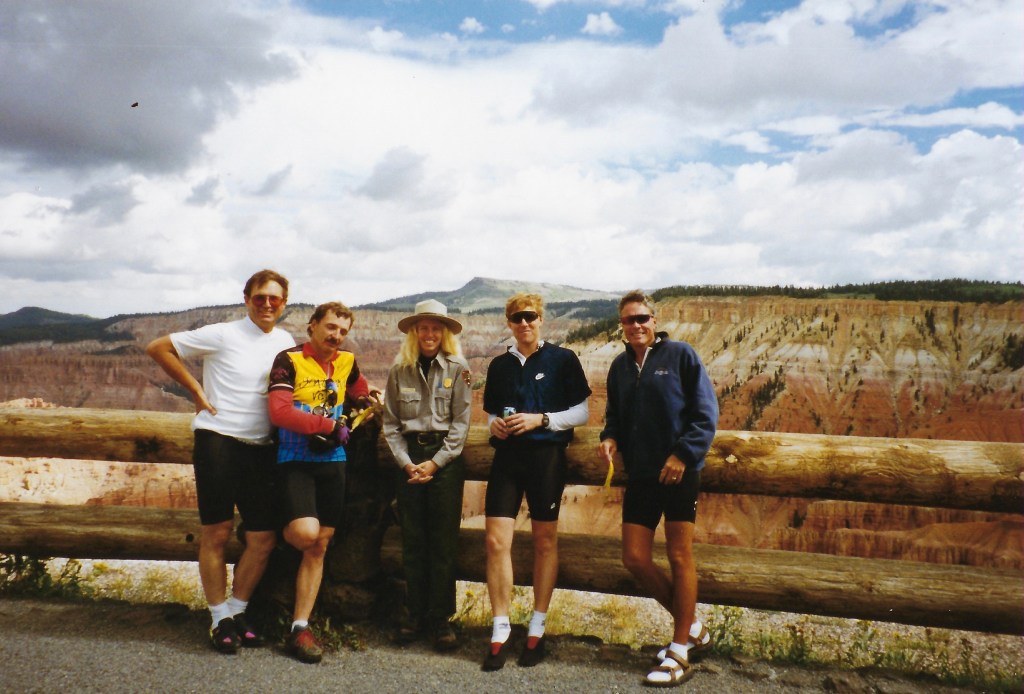
As noted, back in 1996 I was part of a group that rode bicycles across Arizona. The first day of that journey took us from Parker to Aguila, with a planned stay at the aforementioned Burro Jim Motel. The riding itinerary described the terrain as “flat and fast with some gentle rolling sections – a scorching paceline.” “Scorching” as the average high temperature in Parker that August of the ride was a blistering 106.7°F.
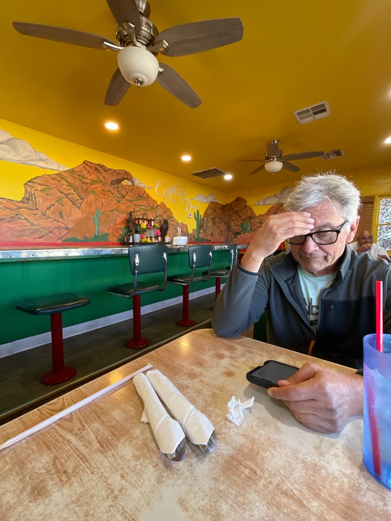
Wanting to avoid that same searing heat, Pete and I departed Parker early on this October morning. Our first stop was in Aguila, AZ for breakfast. As I reminisced, our 1996 ride had coincided with the famous Race Across America (RAAM) ultra-cycling event. Upon awakening early, before sunrise to beat the August heat, we heard music blaring from afar. We witnessed a slow moving RV approach the motel, its headlights augmented to brilliantly illuminate the road for some distance ahead. Lo and behold, a solitary cyclist was riding on AZ-60, the RV in support for a competitor riding the RAAM. None of our crew were aware of the RAAM taking place.In fact, we later managed to “photobomb” the RAAM coverage as we climbed the “extreme” grades on Highways 71 and 89 near Prescott.

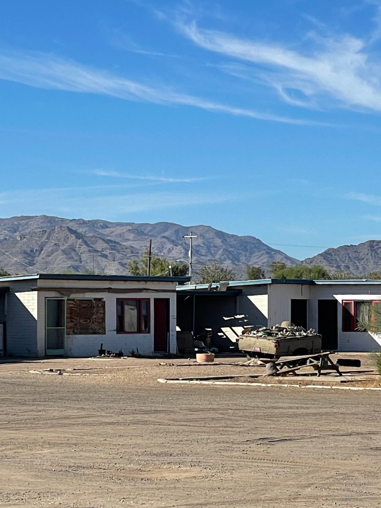
The Coyote Cafe and the Burro Jim; It doesn’t look like “all new interiors” are due any time soon…
Fueled by another fine Mexican meal at the Coyote Cafe, we set out for Camp Verde, a journey of some 221 miles. The AZ-72 to US-60 route sliced through the Sonoran Desert, the flat, arid landscape seemingly disappearing into the distant horizon. But as we approached Yarnell, mountains appeared to leap from the otherwise flat terrain. Alas, a few miles north of Congress, AZ we entered the Granite Mountains near where on June 30, 2013, nineteen of the 20 members of the Granite Mountain Hotshots, an elite crew trained to fight wilderness fires, died as they battled a fire outside of Yarnell. The nearby Granite Mountain Hotshots Memorial State Park is dedicated to their sacrifice. My awareness of this tragedy is in part the result of my two sons who are firefighters.
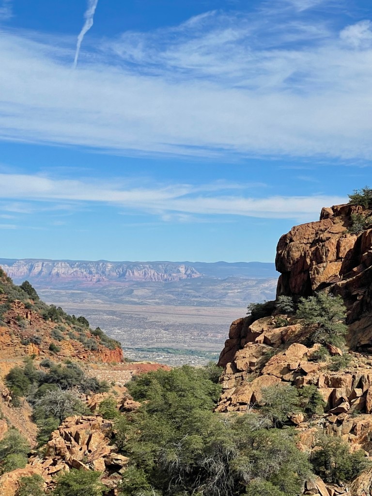
To bypass the final “extreme” grades, we took Kirkland Valley and Iron Springs Roads at Kirkland Junction, before rejoining AZ-89A later north of Prescott. This stretch provided some enjoyable twisties, with two, two-up rented Harleys mounted by two couples from Indiana leading the way to a scenic overlook just outside of Jerome.
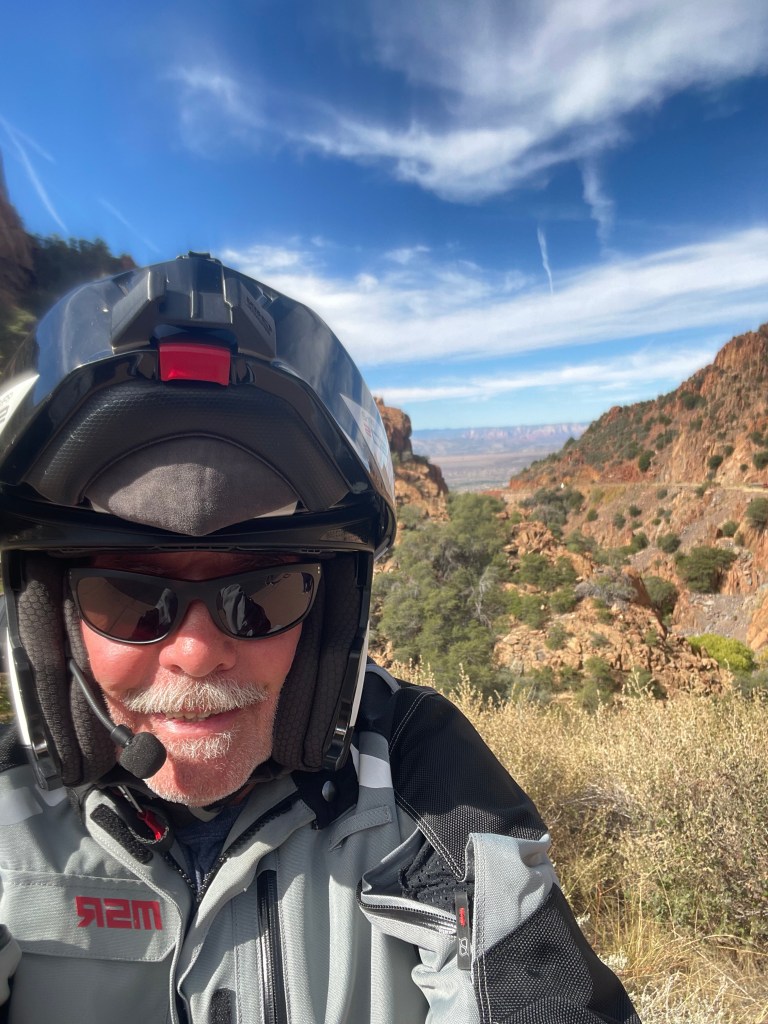

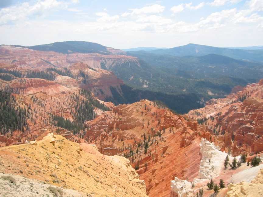
There’s the Mogollan Rimin the distance just over my left shoulder defining the western edge of the Colorado Plateau
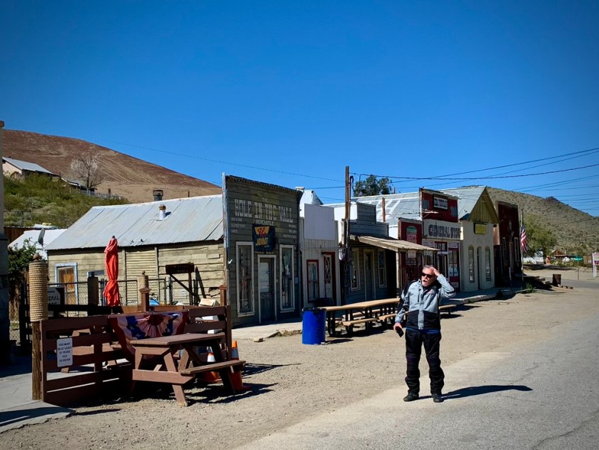
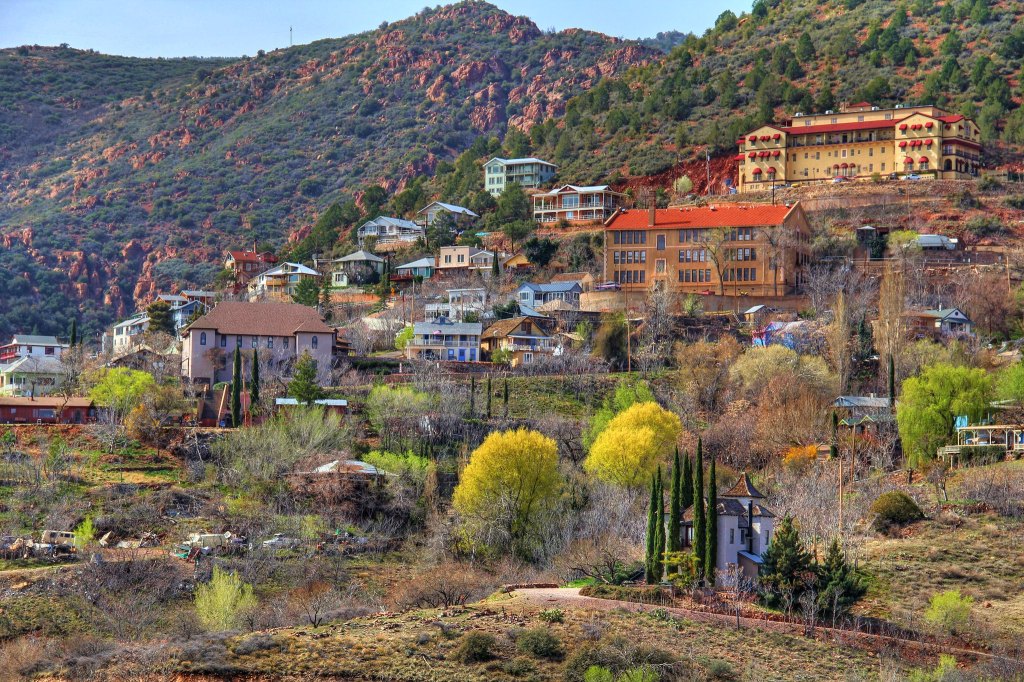
This former mountain mining community of Jerome had earned the nickname “The Wickedest Town in the West” during its heyday, when rich copper ore deposits attracted miners, merchants, madams and more to Yavapai County. Jerome’s colorful history is too rich to chronicle here, but a quick link to the Wikipedia page (Jerome, Arizona) provides interesting insight into how this town evolved from a mineral extraction hub to a modern tourist destination.
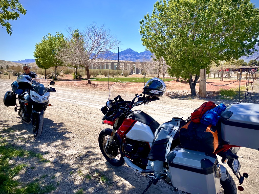
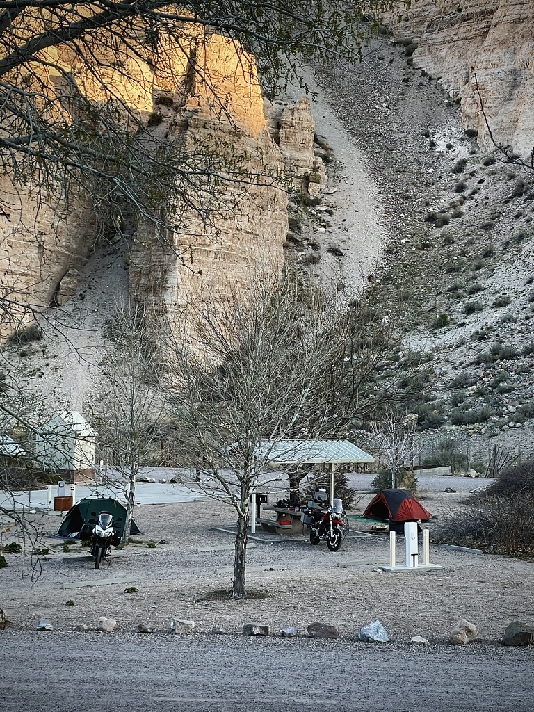
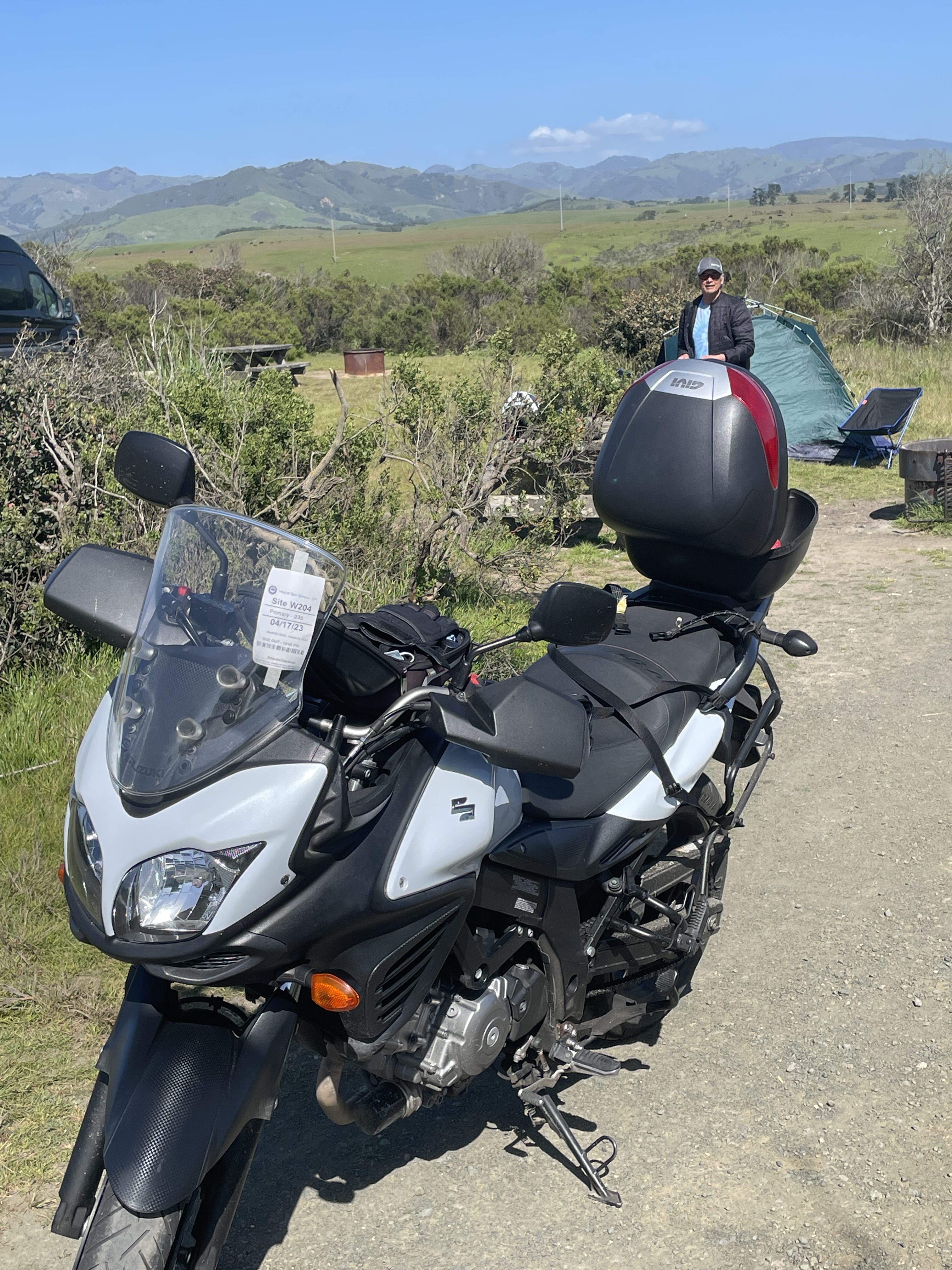
With the day’s riding behind us, we rolled into Camp Verde, ready to unwind and recharge for the next leg of our adventure. Our first stop was to scout the USFS Clear Creek Campground – a grassy, flat site with shade provided by tall cottonwoods. Perfect. Despite the slightly creepy gravel road leading in, our gracious campground host recommended we set up right across from his site, next to the clear creek for which the campground was named.
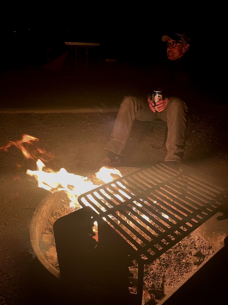
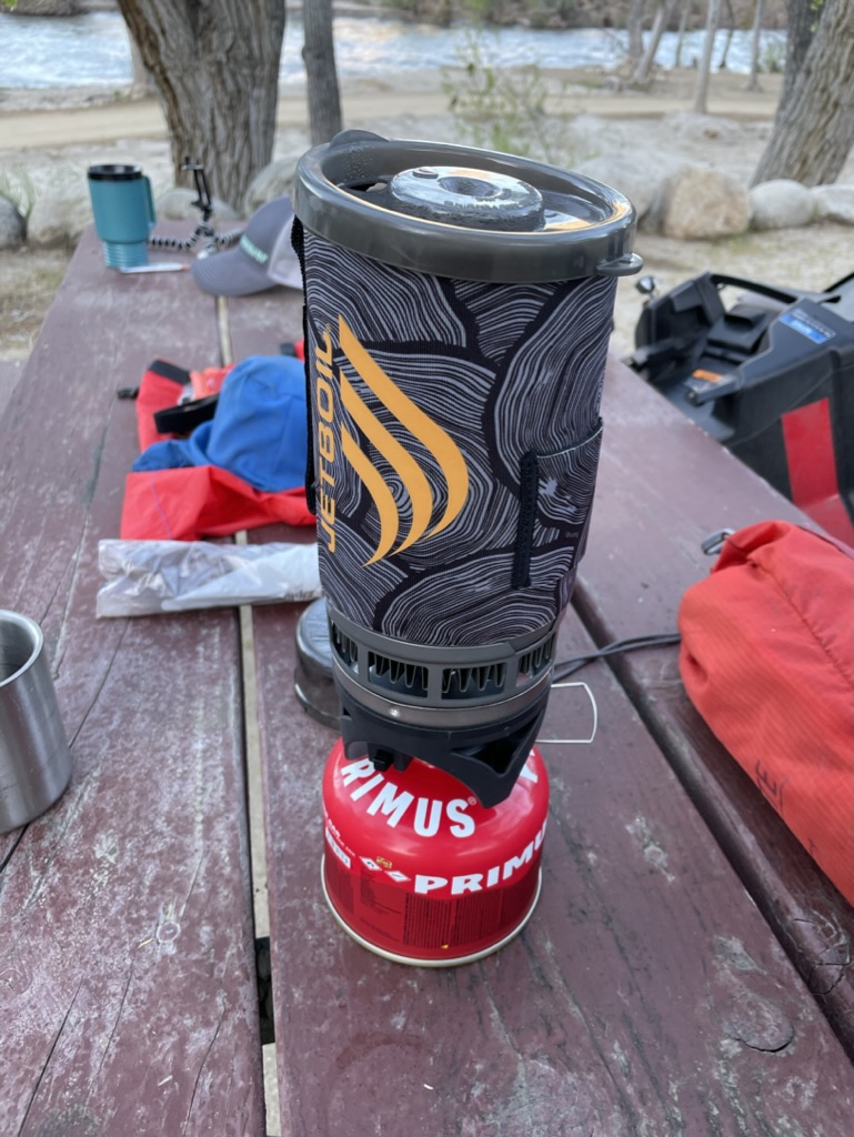
After getting camp established, Pete and I headed into town for provisions and refreshments, returning to enjoy a pleasant evening under the stars, transfixed by a crackling campfire as we relaxed, rehydrated, and reflected on the day’s journey.


Day 4, October 25, Camp Verde to Fredonia, AZ

This was to be a modest days ride, a mere 257 miles on US-89 through Sedona and Flagstaff, across the Colorado River for the second time at Marble Canyon, then US-89A past the Vermillion Cliffs, past Jacob Lake, the entrance to the North Rim of the Grand Canyon (see 2021 Fall Moto: Abbey’s Other, On-the-Road Trip, Part 2), to the Grand Canyon Motel in Fredonia, AZ.
My affinity to this place is lodged in my fond regard for Marguerite Henry’s children’s book, Brighty of the Grand Canyon, that I loved reading aloud to my elementary students. Brighty is a tale about a “lone little burro that roamed the high cliffs of the Grand Canyon and touched the hearts of all who knew him: a grizzled old miner, a big-game hunter, even President Teddy Roosevelt. Named Brighty by the prospector who befriended him, he remained a free spirit at heart. But when a ruthless claim-jumper murdered the prospector, loyal Brighty risked everything to bring the killer to justice.”
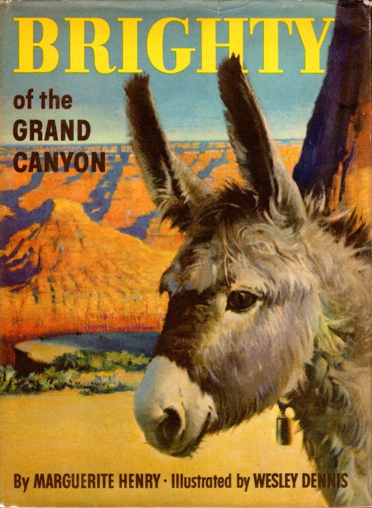
Fredonia was where Uncle Jim retreated for the winter in the story of Brighty’s adventures as the little burro that has become the symbol of a joyous way of life. Some people say that you can even see his spirit roving the canyon on moonlit nights—forever wild, forever free.
The Life and Times of Brighty of the Grand Canyon
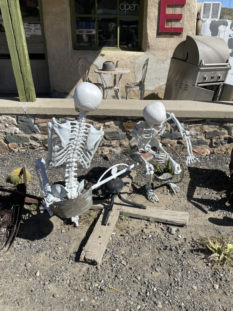
The landscapes of the Southwest that we traversed undoubtedly possess a grand, serene beauty all their own, yet the relentless exploitation of these places by commerce can sometimes overwhelm and diminish that natural splendor. In our quest for “sanctuary” and “refuge,” we’ve found that the very things we seek – the grandeur and serenity of the untamed wilderness – are often sullied by blatant attempts to “augment the experience” through tourist traps, roadside attractions, and other concessions to consumerism.
No matter how breathtaking the vistas, it’s difficult to fully immerse oneself in the natural wonder when the view is punctuated by kitschy souvenir shops, gaudy neon signs, or other intrusive commercial development. The very objective of our ride – to find solace and escape in the majesty of the southwestern landscapes – was undermined by the pervasive influence of those who would seek to profit from, rather than preserve, these precious resources.
It’s a delicate balance – honoring the needs of the modern traveler while safeguarding the integrity of the land. But in our experience, the scales have tipped too far in favor of exploitation, robbing these landscapes of the very qualities that drew us here in the first place. Navigating this tension, and finding those rare pockets of unspoiled beauty, had become a central challenge of our journey.
Jerome, while historically fascinating and successful in reinventing itself as an artsy tourist destination, suffered from the very thing that keeps it alive – tourism. The narrow streets, choked with “experience seeking” souls, detracted from any authentic experience immersing oneself in the rich history of Jerome one might hope to find.
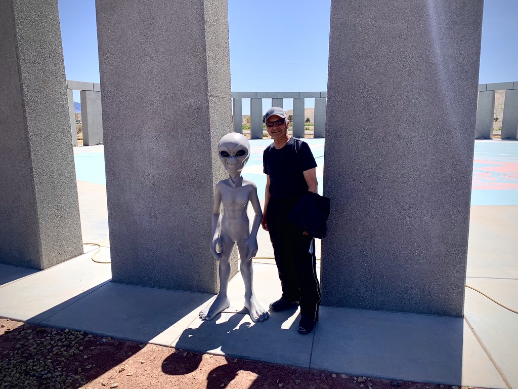
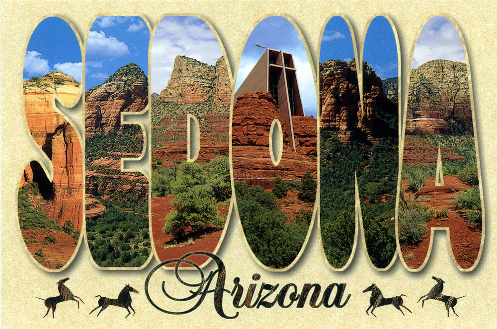
Sedona proved even more jarring, with its commercialization dialed up to eleven through “vortex tours” and spiritual marketing. The official Visit Sedona website promises an idyllic autumn experience: “Sedona, with its vibrant red rocks and golden hues of autumn, offers a season of renewal and adventure… From hiking trails bathed in rich autumnal light to spiritual vortex tours that connect you to the land’s energy, the opportunities for exploration and personal discovery are endless.” Like dozens of bloggers and influencers promoting the Ultimate E-bike Tour of Sedona, or the VIP Sedona Vortex Spiritual and Scientific Tour, or The Original 4 Winery Tour with Charcuterie, et. al. each promotional image showing pristine, uncluttered landscapes – conspicuously absent are the traffic jams and crowds of “vortex seekers” on their personal discovery journeys, seeking the best spas and best UFO tours. Can there even be a “best” UFO tour? Apparently yes, in Sedona.
One might call our own quest for “sanctuary” hypocritical given these observations, but that’s precisely the point. Seeking an imagined sanctuary becomes impossible in landscapes exploited for mass consumption. What we’re sold is a cheapened, commercialized version of what the original inhabitants revered as genuinely spiritual places of unspoiled beauty.
The contrast became stark once we cleared Flagstaff. Until reaching Marble Canyon, commercial enterprise virtually disappeared. Along the route, Navajo Nation vendors sold jewelry and goods from simple roadside stands – no hype, no hard sell. These basic transactions between maker (or agent) and buyer provided local inhabitants with income while maintaining dignity. Their alluring tables displayed exquisite native craftsmanship without promising spiritual enlightenment or personal discovery merely through purchase. Though one might wonder about authenticity versus foreign counterfeits…
“Here the earth, as if to prove its immensity, empties itself. Gertrude Stein said: ‘In the United States there is more space where nobody is than where anybody is. That is what makes America what it is.’ The uncluttered stretches of the American West and the deserted miles of roads force a lone traveler to pay attention to them by leaving him isolated in them. This squander of land substitutes a sense of self with a sense of place by giving him days of himself until, tiring of his own small compass, he looks for relief to the bigness outside — a grandness that demands attention not just for its scope, but for its age, its diversity, its continual change. The isolating immensity reveals what lies covered in places noisier, busier, more filled up. For me, what I saw revealed was this (only this): a man nearly desperate because his significance had come to lie within his own narrow ambit.”
― William Least Heat-Moon, Blue Highways
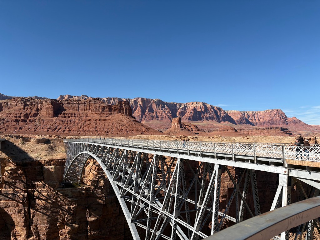

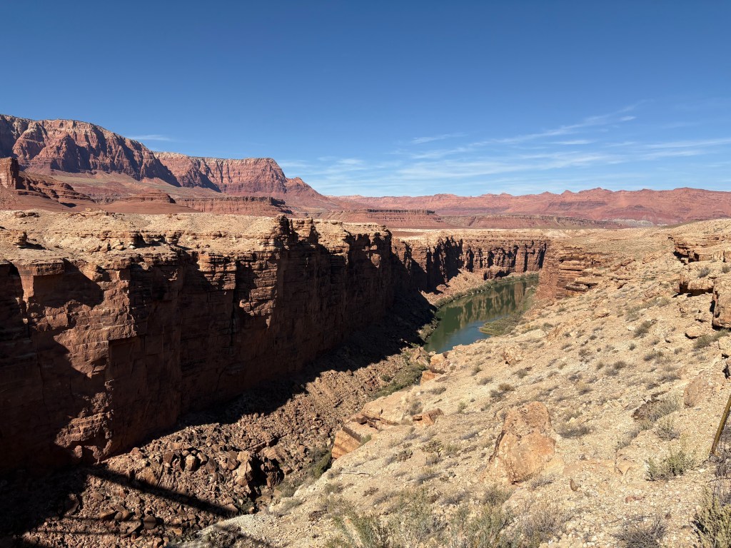
The Navajo Bridge over the Colorado at Marble Canyon
We eventually reached Fredonia, Arizona’s northernmost outpost, situated on Kanab Creek’s eastern bank. The town sits just four miles shy of the Utah-Arizona border in what’s known as the Arizona Strip – that peculiar portion of Arizona lying north of the Colorado River, wedged between the Grand Canyon and Utah. Thanks to the Grand Canyon serving as a natural barrier, this region has largely escaped the tide of urbanization that’s swept through other parts of the state.
The town’s origins tell a particularly ironic story of American settlement. Founded in 1865 by Mormon pioneers fleeing Utah to evade federal anti-polygamy laws, Fredonia’s name allegedly means “land of free women” – a bit of Mormon pioneer wordplay that requires no further comment. While tourism and agriculture keep the town alive today, that original history of seeking “freedom” from federal oversight adds another layer to our ongoing meditation on sanctuary and refuge.
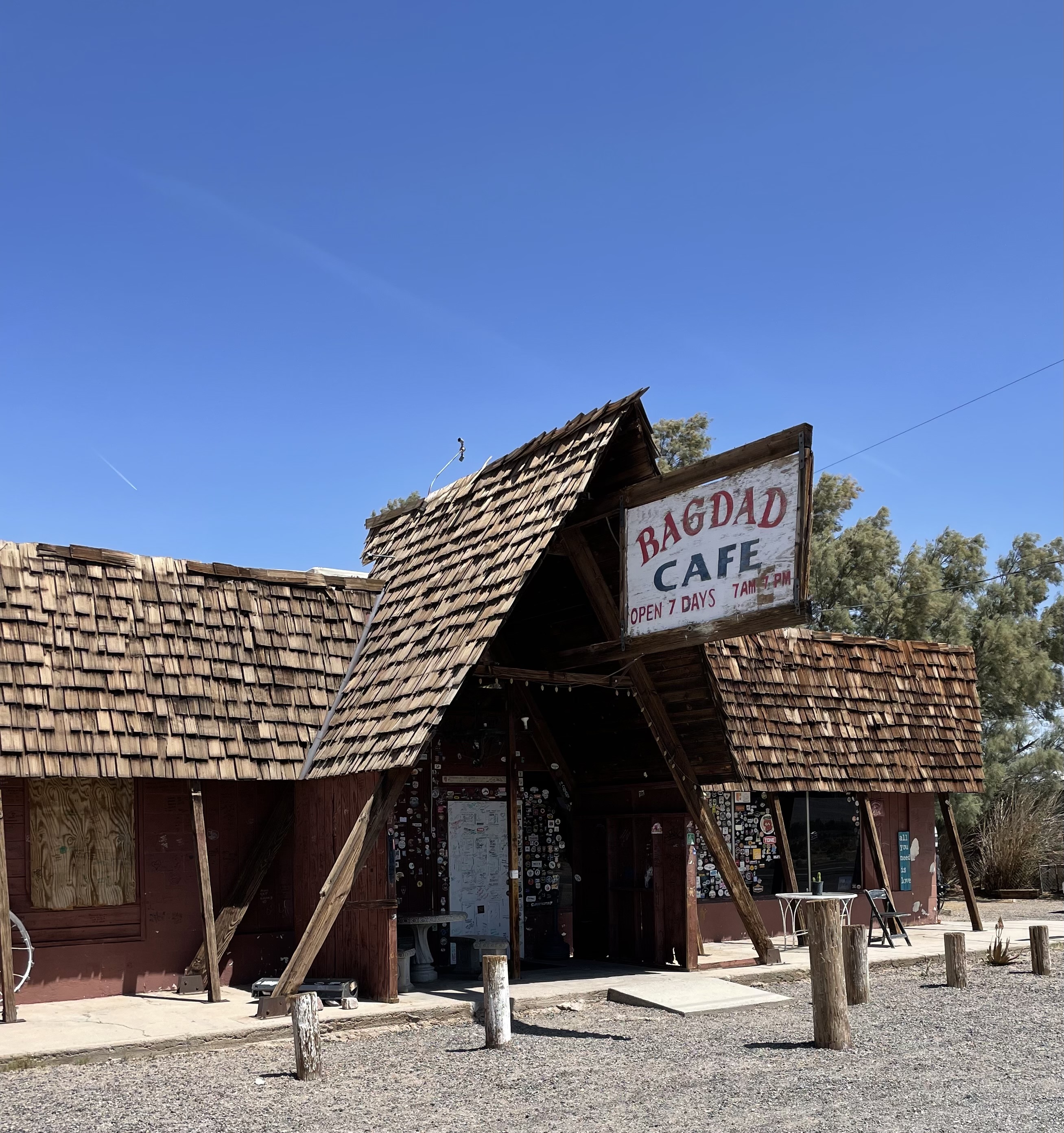
Beyond campgrounds, we chase the ghosts of road trip Americana – the Supai in Seligman, the Clown Motel in Tonopah, the Y in Chama. The Grand Canyon Motel in Fredonia is another pearl on this string of fading roadside gems.”


the Grand Canyon Motel, a treasure, to be sure

Chuck, the property manager, shared an unexpected piece of history while admiring our motorcycles. The motel’s story intertwines with Theodore Roosevelt’s bold move in January 1908, when he declared over 800,000 acres of the Grand Canyon a national monument. ‘Let this great wonder of nature remain as it now is,’ Roosevelt proclaimed. ‘You cannot improve on it. But what you can do is keep it for your children, your children’s children, and all who come after you, as the one great sight which every American should see.” (History.com)
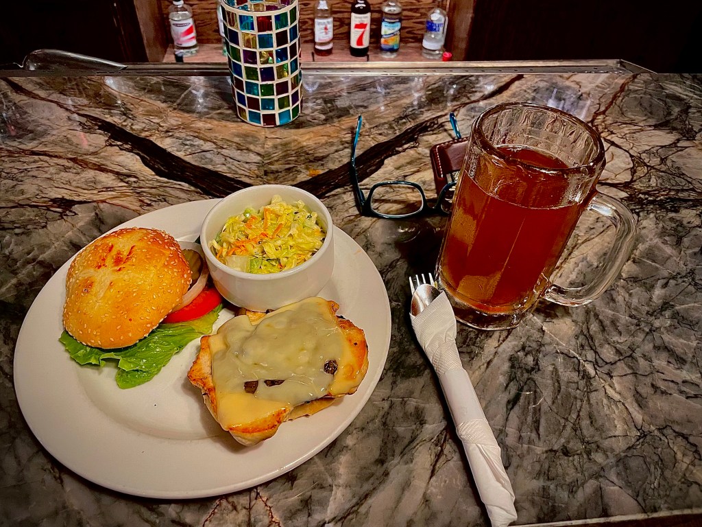
Chuck claimed that Teddy Roosevelt stayed in one of the cabins. Roosevelt died in 1919. The cabins were built in the 1920’s as hunter cabins. The mathing doesn’t work… Nevertheless, his recommendation for dinner at Escobar’s Mexican Restaurant in Kanab was honest. Even though it was our fourth Mexican meal in as many days, and though we were in a rather ethnically homogenous community, the chili relleno was one of the best I’ve ever had! Me quito el sombrero ante los Escobar!


Following our fine meal, we made a quick stop at a gas station convenience store, the 3-R’s procured, and it was back to Fredonia to watch Freddie Freeman hit the 1st walk-off slam in World Series history as Dodgers topped the Yankees 6-3 in the classic opener. As an avid Giants fan, it was a tough pill to swallow. Hey, no irony in watching the World Series in the land of Brighty of the Grand Canyon…
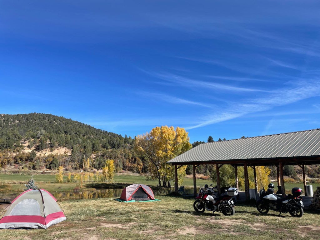
Day 5, October 26, 2024 Fredonia to Glendale and the Zion Family Ranch
Zion Family Ranch to Zion and Back
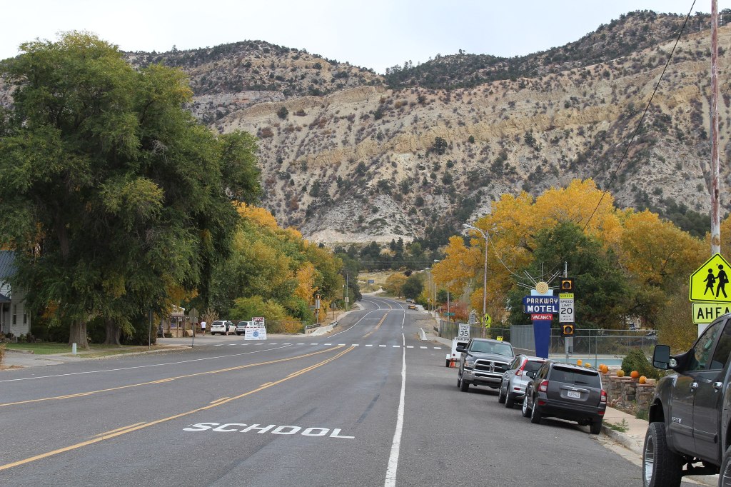
There were two legs on this ramble to Zion National Park. The first leg was from Fredonia on US-89A & 89 to Glendale, the nearest town to the campground. It was a lovely fall morning and the roads were open and traffic was sparse.


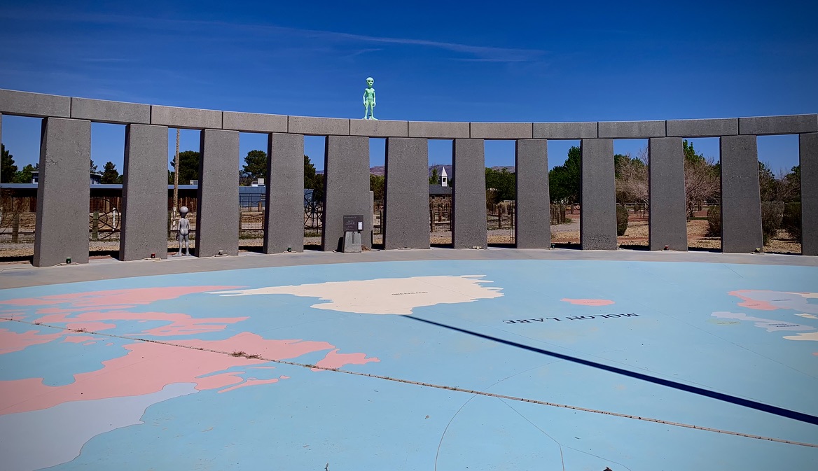
The Moqui Cave, in the 60’s (left), and a more recent photo (right)
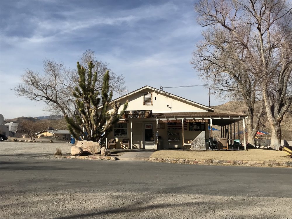
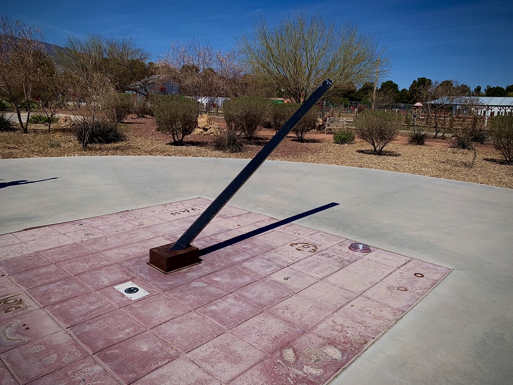
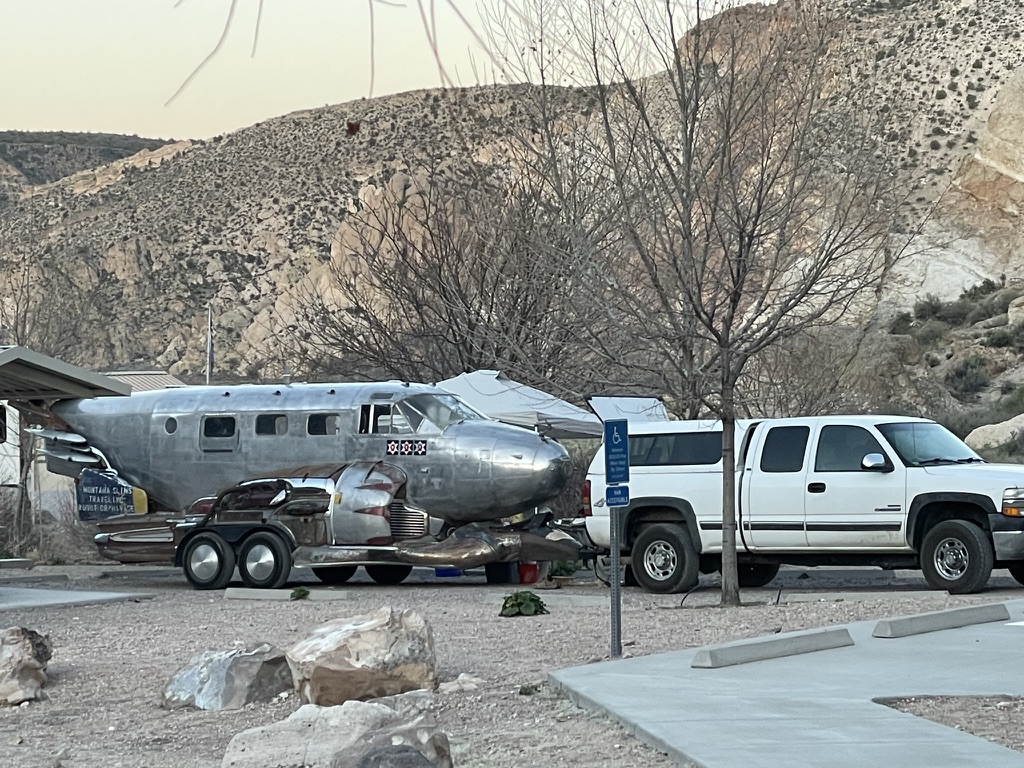
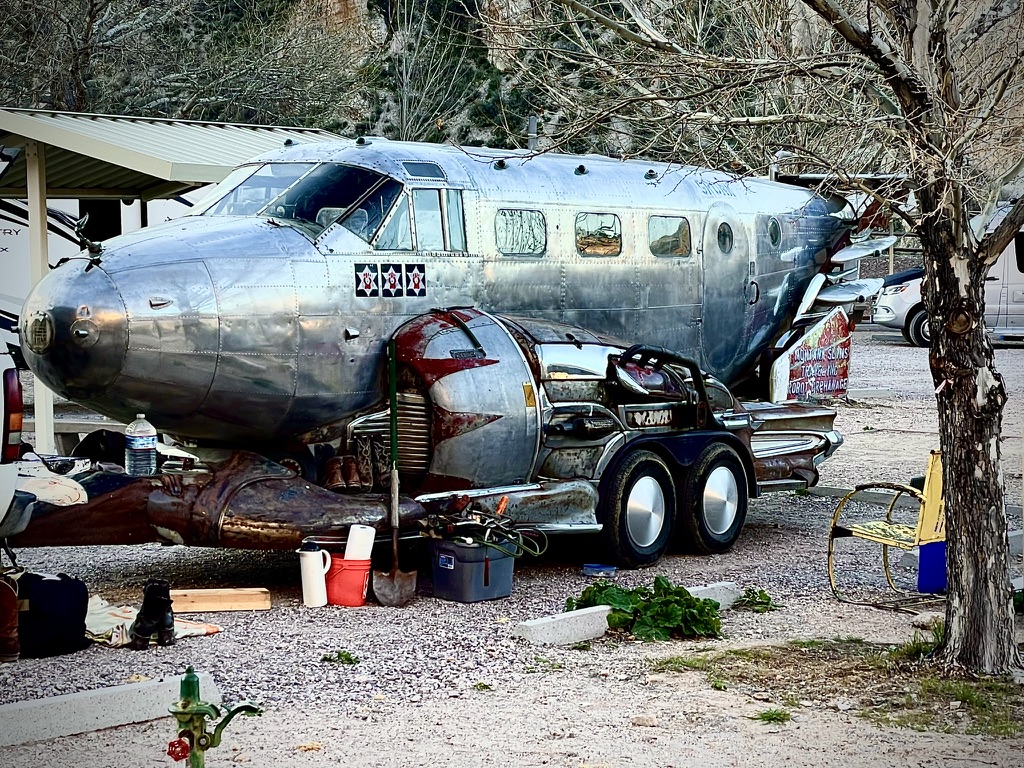
We passed the Moqui Cave, yet another example of the crass exploitation of what was otherwise an interesting archeological site. Moqui Cave was once used by Anasazi people as a shelter or food store, according to archaeological digs in the area. It was rediscovered by white settlers in the 19th century, and served as a speakeasy in the 1920s during Prohibition. Where the land of free women meets a speakeasy. Speaking of irony, no irony there, eh?

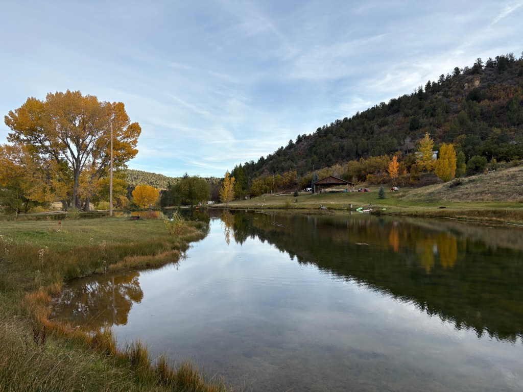
We passed the Kanab Dinosaur Tracks and the Sand Caves road side attractions. Past Mt. Carmel we headed north up the tranquil Madison Canyon to Glendale near where our campsite at the Zion Family Ranch, one of seven “dispersed” (first come, first served) costing $49, was located. In the internet era booking a campsite is like booking any lodging. You put in your dates and supply a credit card number. There was no camp host, no gate code, or any other acknowledgment of our arrival. The site looked unsupervised. I guess that’s what “dispersed” means. I guess that’s how the “Zion Family” ranchers distance themselves from commercial exploitation. I am grateful that they provided “sanctuary” on what was a family’s legacy property. Sorry Paiutes.
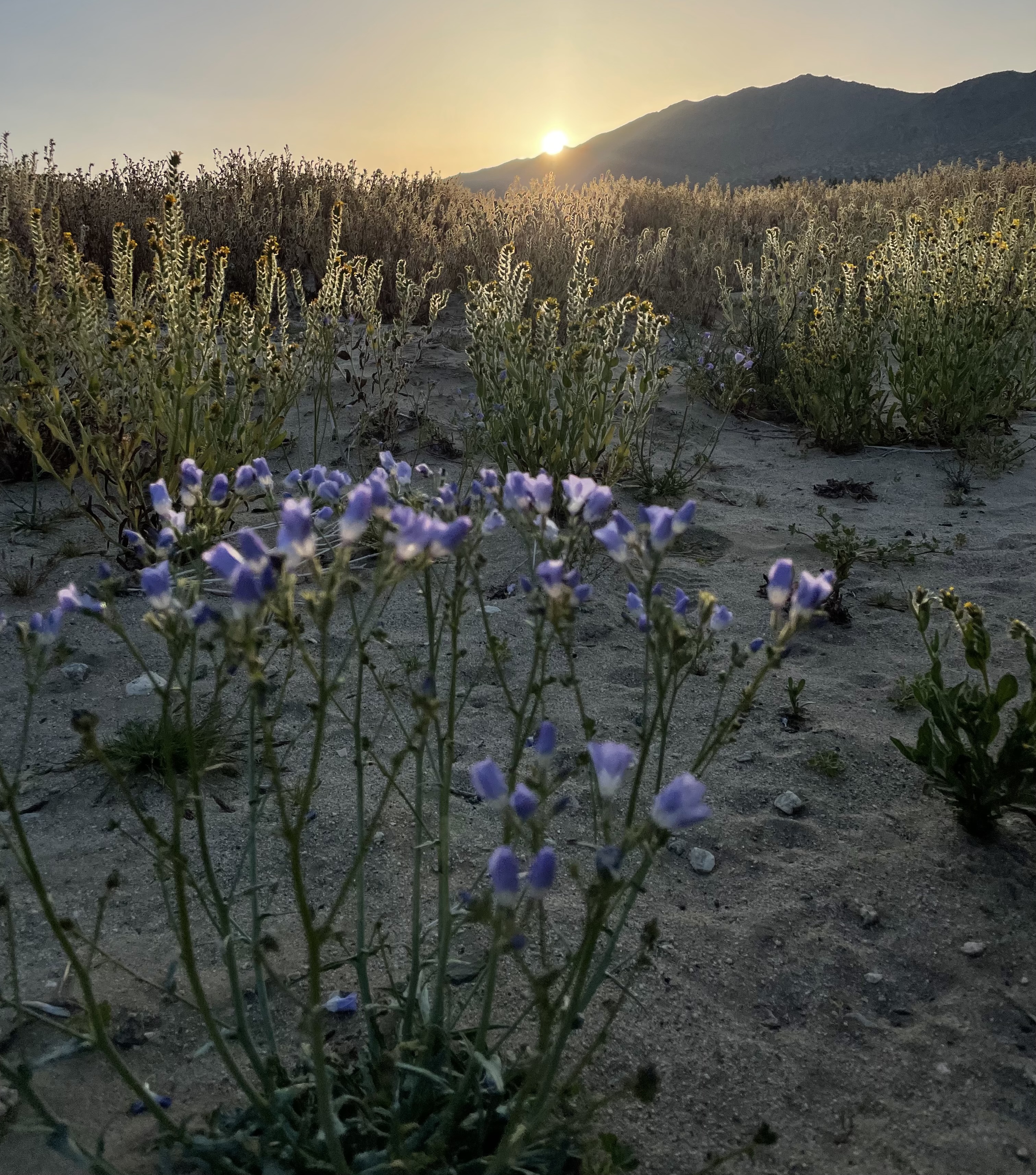
Our plan was to set up camp at the Family Ranch, then head into Zion National Park for the day. It was a stunning morning – cool but not cold, with the poplars and aspens bursting with vibrant fall foliage.
Since it was a Saturday, we tried to get an early start to beat the crowds.
Through Orderville east of the park, all was orderly.
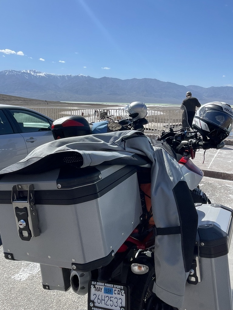
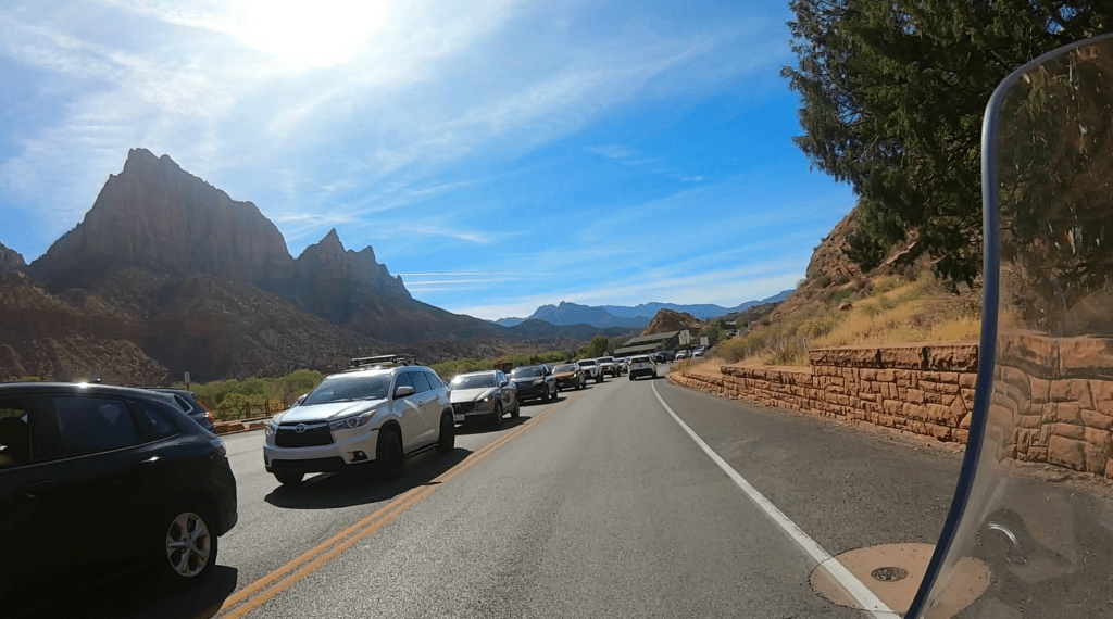
However, by the time we made the 26-mile ride to the Zion-Mt. Carmel Tunnel entrance on the east side of the park, the number of cars, trucks, trailers, and RVs had multiplied exponentially. Most of these visitors had entered the park from the western entrance near the town of Springdale. Virtually every turnout was choked with people waiting for a parking space to open.

Zion National Park is undoubtedly one of the most unique and concentrated geological wonders outside of iconic places like Yosemite Valley. Yet, like Yosemite, it seems to be loved – if not quite to death – then at least to near non-existence. The sheer clutter of humanity obscures and detracts from the natural wonder of the landscape. I guess I have adopted a little Edward Abbey attitude about development on our nation’s national treasures.

Despite our best efforts to get an early start and keep our expectations checked, the overwhelming crowds at the park entrance on this busy Saturday dampened our excitement. When you have to busy yourself with watching out for inattentive drivers in stop-and-go traffic or selfie-taking pedestrians who would blindly step into the crawl for that perfect Instagram post was a vivid reminder of the delicate balance between visitation and preservation that national parks must continually grapple with.
The following map of the topography of the region, while no substitute for the real thing, is worth a look:
After a harried 2+ hour “tour” of the park (that you can enjoy in 34 minutes at https://youtu.be/_9hdx9c4SfY), we pulled over in Springdale to assess the situation. Pete and I decided to continue on to Hurricane for lunch and then return to our campsite by taking the longer route on AZ-389 through Colorado City to Fredonia and US-89 back to Mt. Carmel Junction. It was 26 miles back through the park to our campsite. It was 112 miles on our chosen route back. Both could be done in the same amount of time according to the predictive Google maps, ~2.5 hours.
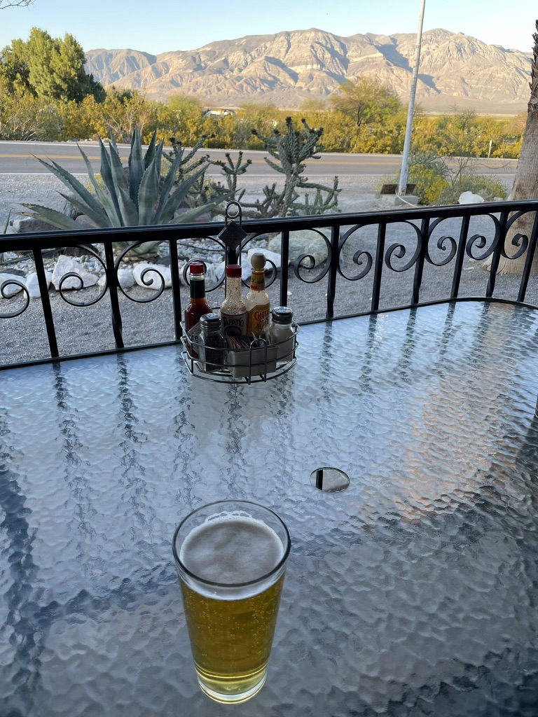
After lunch in Hurricane, we returned to our campsite grabbing gas station sammies in Mt. Carmel junction for dinner along with our 3-R’s beverages. The Zion Family Ranch facilities were quite nice including a heated bathroom with showers. Firewood was available, payment made possible by Venmo. The only human interaction we had was the following morning with a group of off-roaders who arrived after dark that evening as their dogs paid us a visit. Location, location, location… We were in a secluded, natural setting near a very popular, crowded, National Park. It was difficult for me to reconcile the incongruity of the events of the day. Cheers to the 3-R’s!


Day 6, October 27, 2024 Zion, UT to Shoshone, CA

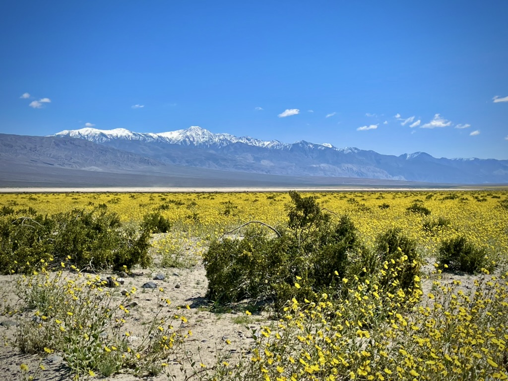
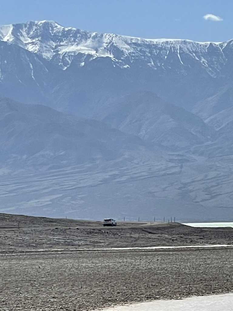
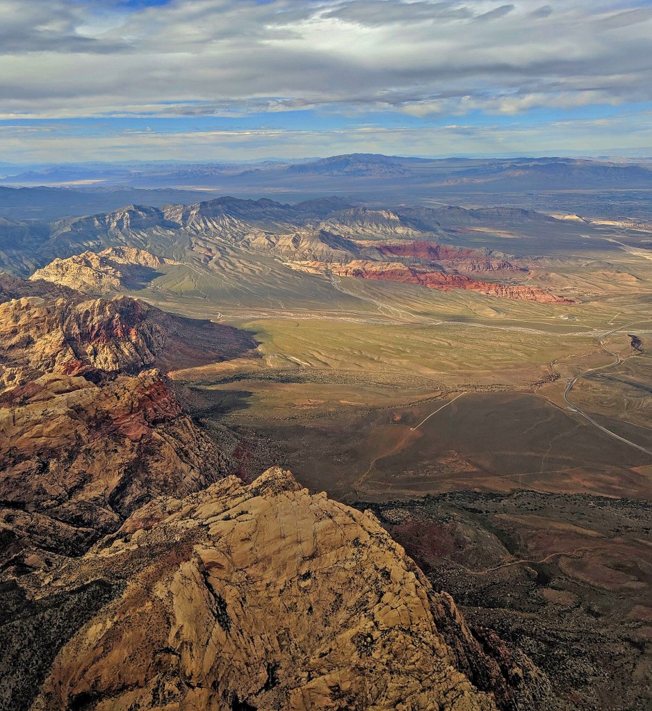
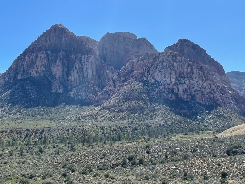
A longish day before us, some 344 miles, found us on US-89A back to Fredonia to avoid having to navigate the Zion stop-and-go. Rolling past Colorado City, AZ, another controversial Mormon enclave with a “colorful” history, we soon reentered Utah and the Hurricane-St. George metropolitan area, a sprawling urban area in the midst of the intersection of the Colorado Plateau, Great Basin, and Sonoran deserts. After a small navigation error (shoulda turned right instead of left) we found W Old Highway 9, avoiding the more scenic I-15 – if you can overlook tractor trailer rigs – that follows the route of the Old Spanish Trail into Arizona. We were never too far from the Virgin River that is the great spirit of Mukuntuweap as we zoomed across the northwestern corner of Arizona to Mesquite, NV. NV-169/167 took us past the bath-tub ringed, Lake Mead National Recreation Area, skirting Las Vegas through Henderson on NV-564/160. With a tip of the helmet to Blue Diamond and the Red Rock Canyon National Conservation area (see our spring 2024 ride on sisyphusdw7.com: Red Rock Canyons Ramble), we abruptly made a left turn off of NV-160 west on the Tecopa Rd that eventually took us to the Cal-Neva border and CA-127 to Shoshone, CA.
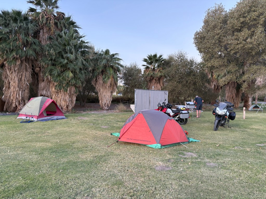


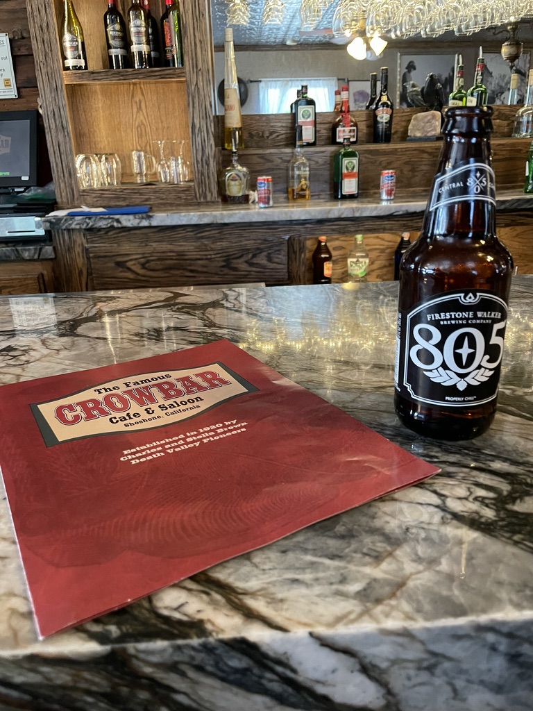
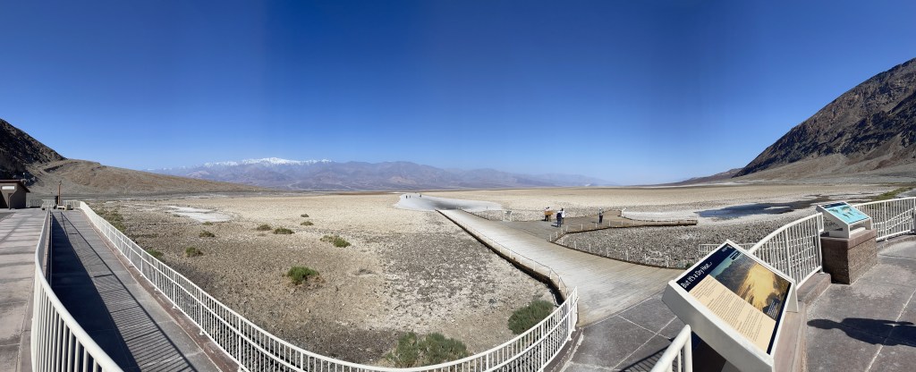
What was at least our sixth stay at the Shoshone RV Park and Campground, sixth meal at the Crowbar Cafe and Saloon, and sixth procurement of 3-R beverages at the Chas Brown General Store, we were set for what has become a favorite night under the stars (and a few sprinkles and some noisy coyotes) in a village that manages the whole preservation vibe, uncorrupted by crass commercialization, we have come to highly regard. There’s also the issue of the lack of water sustaining a population of 22, modulating the delicate balance between local habitation and the visitation of Death Valley bound tourists with preservation.
Day 7, October 28, 2024 Shoshone to ?
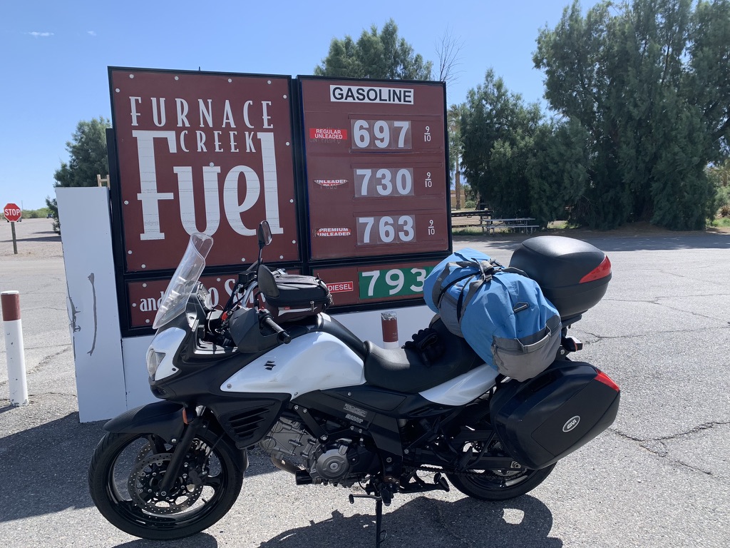
Our plan was to camp at Taboose Creek, midway between Independence and Big Pine along the Eastern Sierra, then make our way to Kernville overnight before returning home. At a stop for lunch in Panamint Springs, another of our favorite “balanced” destinations, we overheard a conversation by a couple of locals of 50 mph winds stirring up that afternoon. Thus confirmed our concern that a rapidly developing frontal system would likely close Tioga Pass and would require changing those plans. New plans: We would bomb to Kernville for the night, some 288 miles, and get a roof over our heads.


Setting out, the predicted winds materialized and our ride down Panamint Valley and Wildrose-Trona Rds eventually to CA-14 and CA-178 over Walker Pass was like riding a bucking bronc through drifting sands obscuring the road with fine dust breaching the seals of our helmet’s visors. I’ve ridden in rain in the Rockies, fog in the Central Valley, searing heat across the Mojave, and snow flurries on the Paunsaugunt Plateau. I’ve pedaled across the Big Horn in Wyoming in a thunder shower with hail pelting me on a bicycle, exposed to lightning. I’ve weathered a Sierra thunderstorm and cross country skied in a whiteout. Maybe because I survived all of those, my fear of calamity was only slightly moderated. I was scared s*#tless. But, as of this writing, I survived!
I was in the lead and when we arrived in Lake Isabella where a right turn onto CA-155 would have taken us to Kernville. The wind, menacing dark skies, and light precip compelled me to forge ahead our next stop, Hart Lake, just north of Bakersfield to fuel up and make a plan for the night. We had made 276 miles and the afternoon shadows were lengthening. Our three options were to slab back to Merced on CA-99, the Bloody Highway, to zig and zag through the foothills ensuring a well after dark arrival home with the specter of a collision with Bambi, or shoot across the Tulare Lake basin to Coaling to stay at the Best Western Plus, where we stayed on the infamous, A Moment’s Inattention ramble.
North on CA-65, west on CA-46 and north at Blackwells Corner, the last place James Dean was seen alive, an on to CA-33 where we arrived at the Best Western just as the sun set, 391 miles later.
We arranged for a room and after unloading the bikes we headed into Coalinga for our ritual of finding nourishment and refreshments. It had been a long day of “riding hard” as Pete would snarl, and I was completely exhausted making decisions. Taking the lead, rather than hitting the State Foods Supermarket or any of the fast food joints or taquerias, Pete pulled into the Coalinga Valley Market on Polk St.
Entering this store, after such a long day and our decision making capacity compromised, we wandered around in circles through the floor to ceiling canyons of packaged food items. The market was well stocked, but the only thing fresh in this store was at the carniceria.


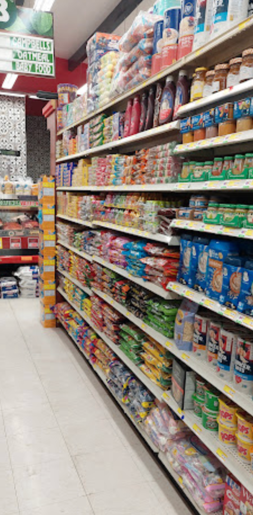
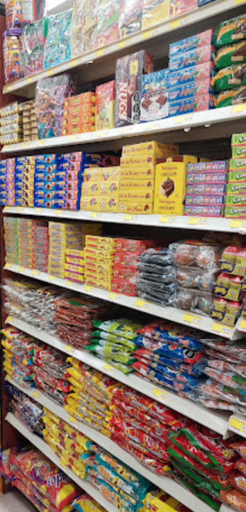
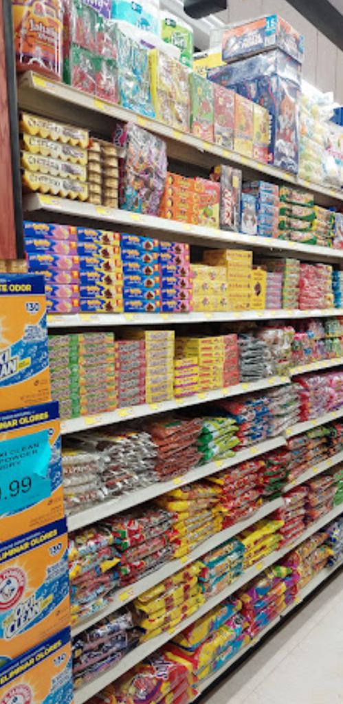
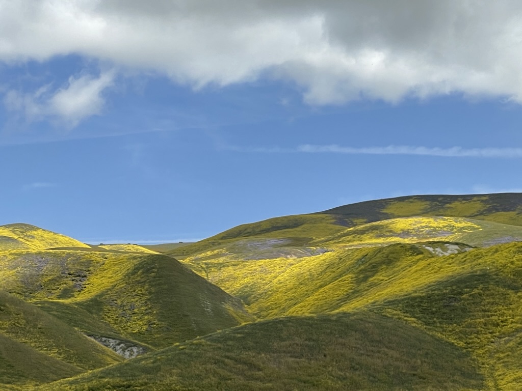
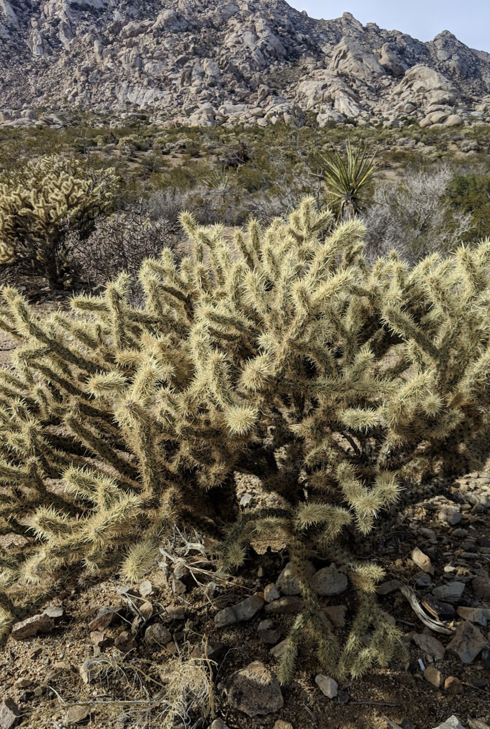
Such a colorful desert…
We found the beverage selection limited, but that didn’t stop us from landing a couple of 24’s. As for food, I ended up getting a tin of smoked oysters and Lays Kettle Jalapeno chips, striking a nutritional balance between proteins, fats, and carbs. Pete got a can of low sodium Spam, preferring a balanced saturated fat, protein, and even at 25% less sodium, salty fare. The rest of the evening is a blur…

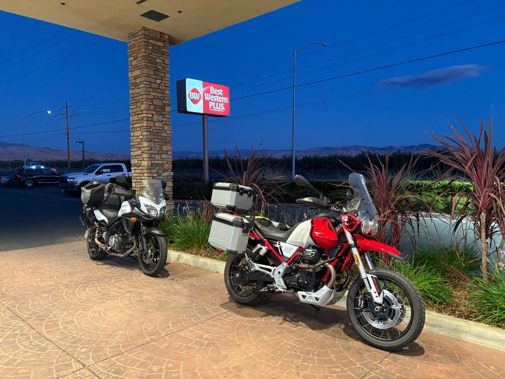
No wind, crickets, ravens, or coyotes at the Best Western Plus in Coaling Station A
Day 8 October 29, 2024 Coalinga Homeward
Approximately 91 miles north on CA-33 to Hudson Rd, a zig and a zag to CA-152 & 59 and presto, home from an 8 day odyssey that may seem from this narrative that at times wallowed in disappointment about the vibe, but, was by any definition an adventure: an exciting ✔ or very unusual experience ✔; a bold, usually risky undertaking ✔; hazardous action of uncertain outcome ✔; filled with peril ✔, danger ✔, risk ✔, chance ✔, fortune ✔ and luck ✔. All the boxes checked!
I harken back to a conversation during the relaxation, rehydration, reflection hour(s) around a campfire in Three Rivers a few years ago where we met Chris Baer, a white water adventurer who was running the Kern during a massive spring runoff, who when asked, “So, what’s the favorite river you’ve paddled?” His reply, without hesitation, “The next one…”
I’m looking forward to a winter of bicycle riding and maybe I’ll hit the slopes, mended ankle permitting. Until then I’ll be searching my AAA maps, Butler Maps, Google Maps, and fellow moto-touring YouTubers for what will invariably be my favorite, next ramble. Until then, thanks once again to Pete for indulging me as a brother rambler, only slightly overwrought .
All the Best,
Sisyphus
sisyphusdw7.com Sisyphus and Associates, Much Ado About Nada
@tjdw7 on Instagram
TjDW7 on YouTube