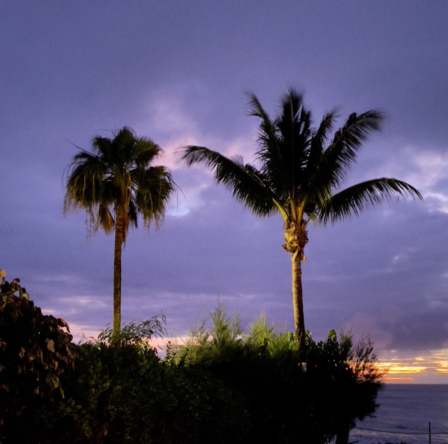
“The day I keep my gratitude higher than my expectations, I have a very good day.” Ray Wylie Hubbard on the attitude of gratitude.
Climate Change or Climate crisis? New Bike Shakedown or…
Searing Valley heat or refreshing mountain breezes? Two days of riding or dreaming of two days of riding? Overnight in my home with my lovely wife or overnight in a campground with fellow dirtbag Pete? Initial service on the Moto Guzzi prematurely or put some miles on the thing to meet the mileage requirement? Let’s check in on Sisyphus’s attitude.
If you presumed the entrée into this discourse reflects what has up to this point been the nature of my blog, you would have correctly identified my choices as mountain breezes, two days of riding, and overnight with a dirtbag over searing heat and dreaming of riding. As for choosing to spend overnight with a dirtbag, until my lovely wife agrees to join me on an overnighter two-up, well then Pete on his own bike will have to do. As for the oil change, read on.

Picking up Bella Rossa, a beautiful Moto Guzzi V85-TT E5 Adventure on April 27
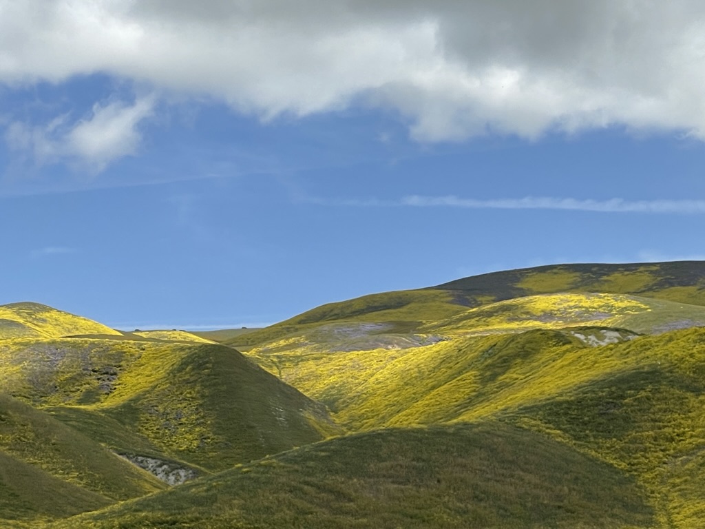
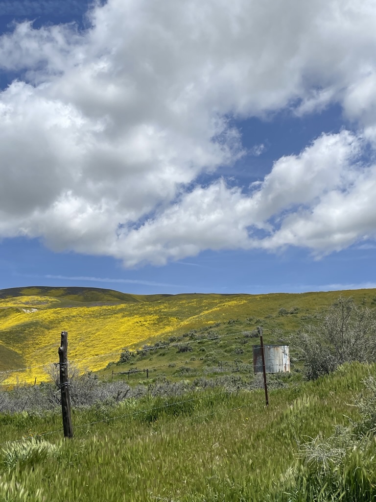
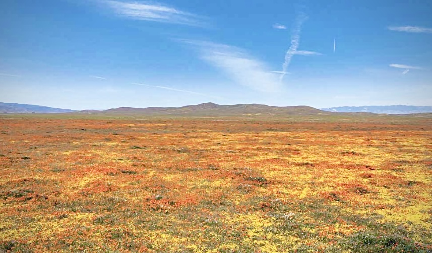
Though things were heating up, we had enjoyed an uncharacteristically mild late spring after a brutal winter. That’s brutal for California. You might say the spring was yielding perfect riding weather (see Where Has Sisyphus Been? https://sisyphusdw7.com/2023/06/17/where-has-sisyphus-been/).
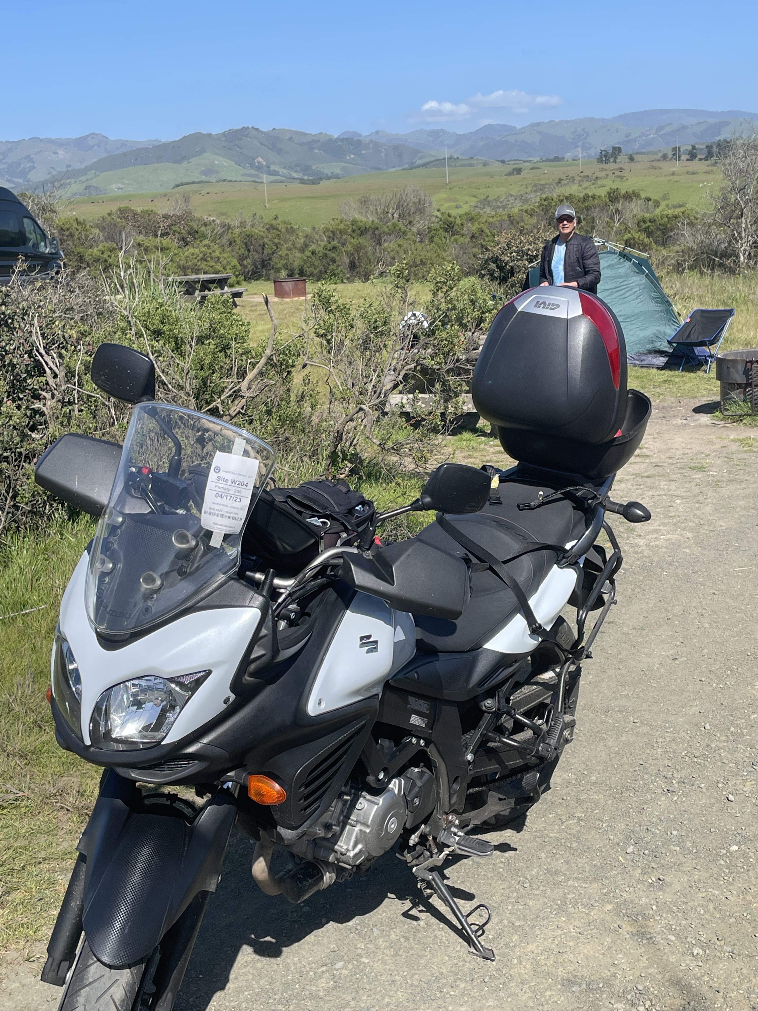
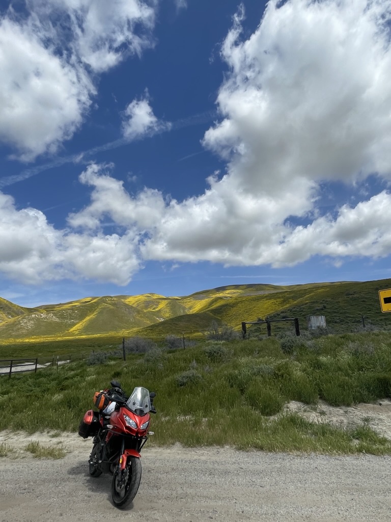
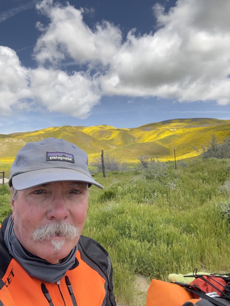
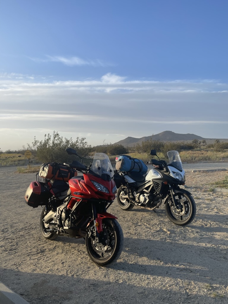
At that time, the beginning of April, the Moto Guzzi was merely a dream. Little did I know the 2023 Super Bloom would be my last ride on the venerable Kawasexy Versys. You see, after appealing to my wife in a four page single spaced, 10 point font essay, Life is Too Short for Later, and yammering about “my next bike” for over a year, I had finally convinced her of the intersection of my wants, needs, and deserves. Wallah, I purchased a 2022 “new” Moto Guzzi V85-TT on April, 27 in Elk Grove, 114 miles north of my home in Merced. As part of the negotiation with my wife, it was determined that the garage wasn’t big enough for two motorcycles. The Kawasexy would have to go (see way below).
A busy May traveling, and a June filled with Pete’s obligations, my appointments, a birthday, Father’s Day, and family gatherings took a bite out of moto adventuring. Funny how life interferes with moto adventuring. All of these interruptions prevented taking the new V85-TT out for more of an adventure than a trip back to the dealership. It was now nearly two months later and I had only put 400 miles on the bike, all of them in bringing the moto home and returning to have some OEM farkles (accessories) installed six weeks after signing on the dotted line, coincidentally on my birthday. Apparently airplanes bearing motorcycle parts from Italy travel at the same speed as slow boats bearing motorcycle parts from Italy aka supply chain issues.
Since the all important first service on the bike would need to happen after 1,500 km (It’s an Italian bike and while the Owners Use and Maintenance Manual is in English, all measurements are Eurometric, so, (to convert 1,500 km × by 0.62137119223667 = and yield, 932.056788355 miles), I needed to put another 500ish miles on the bike to reach the 932 mile first service milestone.
I had been planning a major ride of nearly 5,000 miles up the eastern side of California into Oregon, across Idaho, Wyoming, into South Dakota, back down and across Wyoming, Colorado, and Utah then across Nevada to return home for late summer/early fall given our changing climate. Before I could do that, the bike needed to visit the fine mechanics at Elk Grove Power Sports. As I am want to do, I proposed an overnighter to Bridgeport, CA to capture those 500ish miles. I could then get the initial service done by the dealership roughly keeping it within the mileage requirement and the bike would be ready for the 11 day ride across the Western US.
What Happened to Uncharacteristically Mild Late Spring and Early Summer?
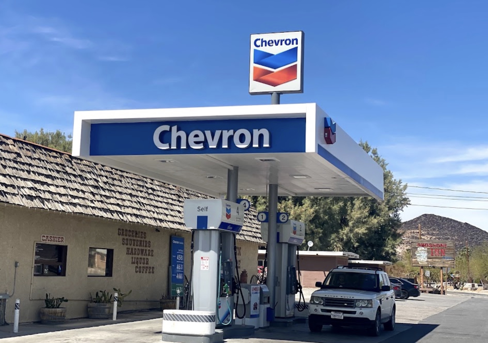
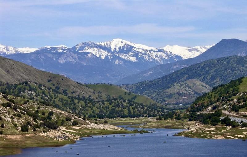
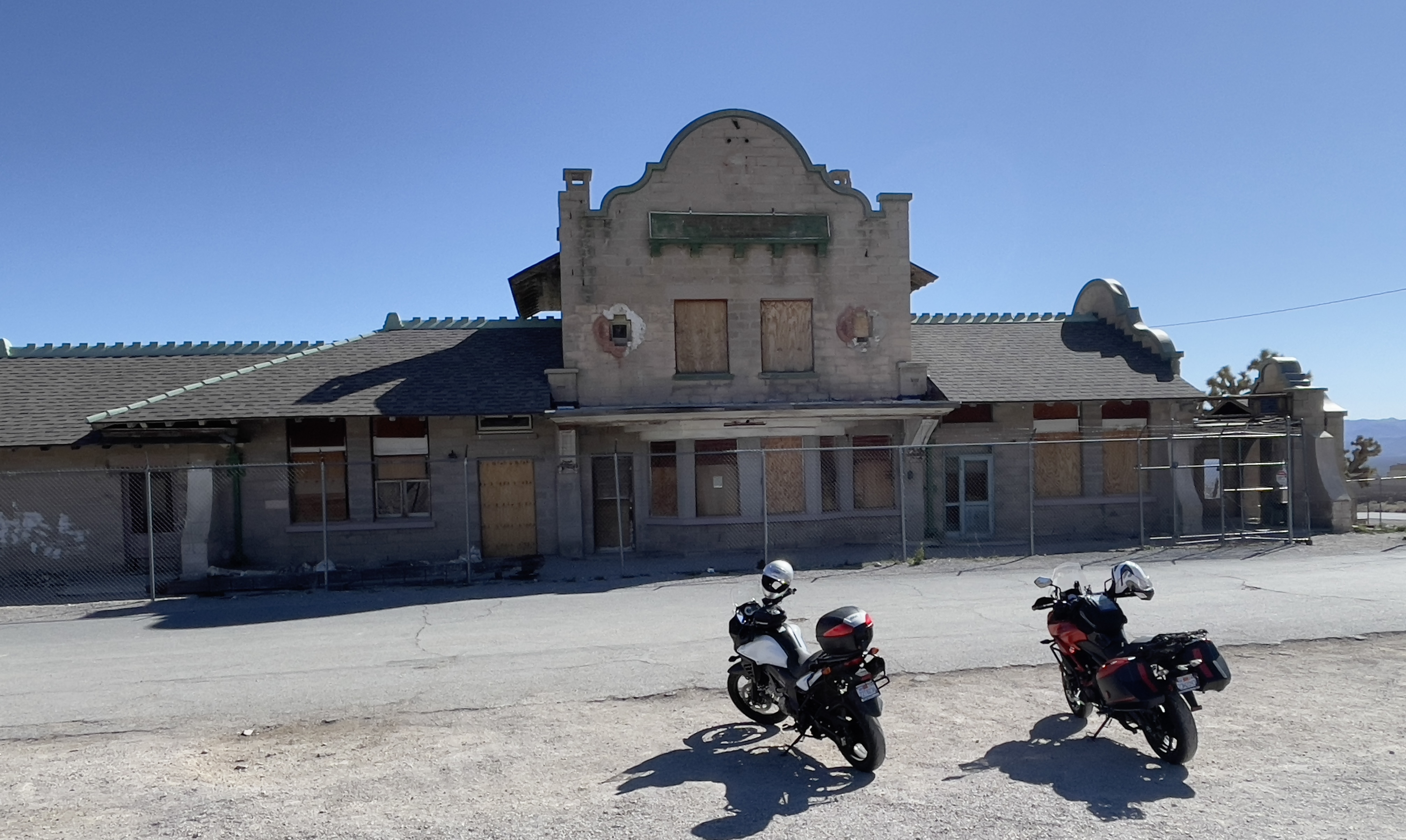
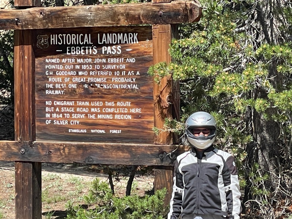
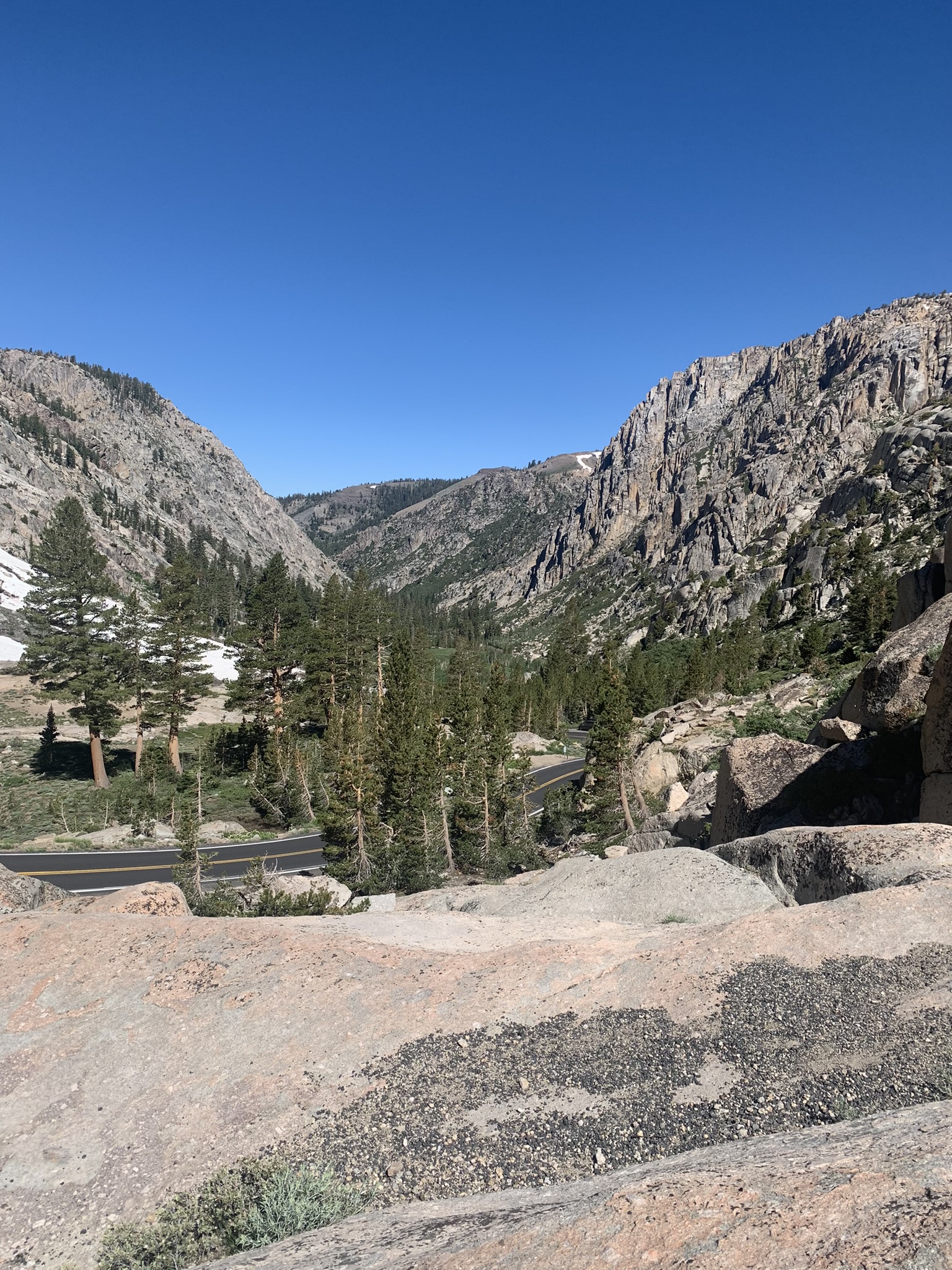
We set off from our meeting spot at the Chevron on the corner of G Street and Yosemite Avenue on Wednesday 07/19 at 7:00 am. Since it was an overnighter and we were quite familiar with crossing the Sierra to get to the East Side, I hadn’t done my usual deep dive into logistics. Tioga Pass was still closed and besides, the traffic into the park was chaotic. That left Sonora Pass on CA-108 or Ebbitts and Monitor Passes on CA-4 and 89, respectively.
From Merced to Bridgeport is roughly 150 miles or about 3-4 hours over Sonora Pass on CA-108 depending on how many nalgas relief stops (NR‘s) were made. We were leaving Merced predicted to reach 108 degrees on that day to arrive in Bridgeport which was predicted to reach 92 degrees. Since going over Ebbetts Pass (8,730 ft. elev.) and Monitor Pass (8,314 ft. elev.), toss in a side trip to Markleville for lunch and a fuel stop in Topaz, it would be 189 miles and take about 4 hours, more or less including for NR‘s. We though it a better more forgiving route over CA-4 and 89, temperature wise because of more sustained elevation, plus we’d arrive in Bridgeport a little later when presumably it would be cooler.
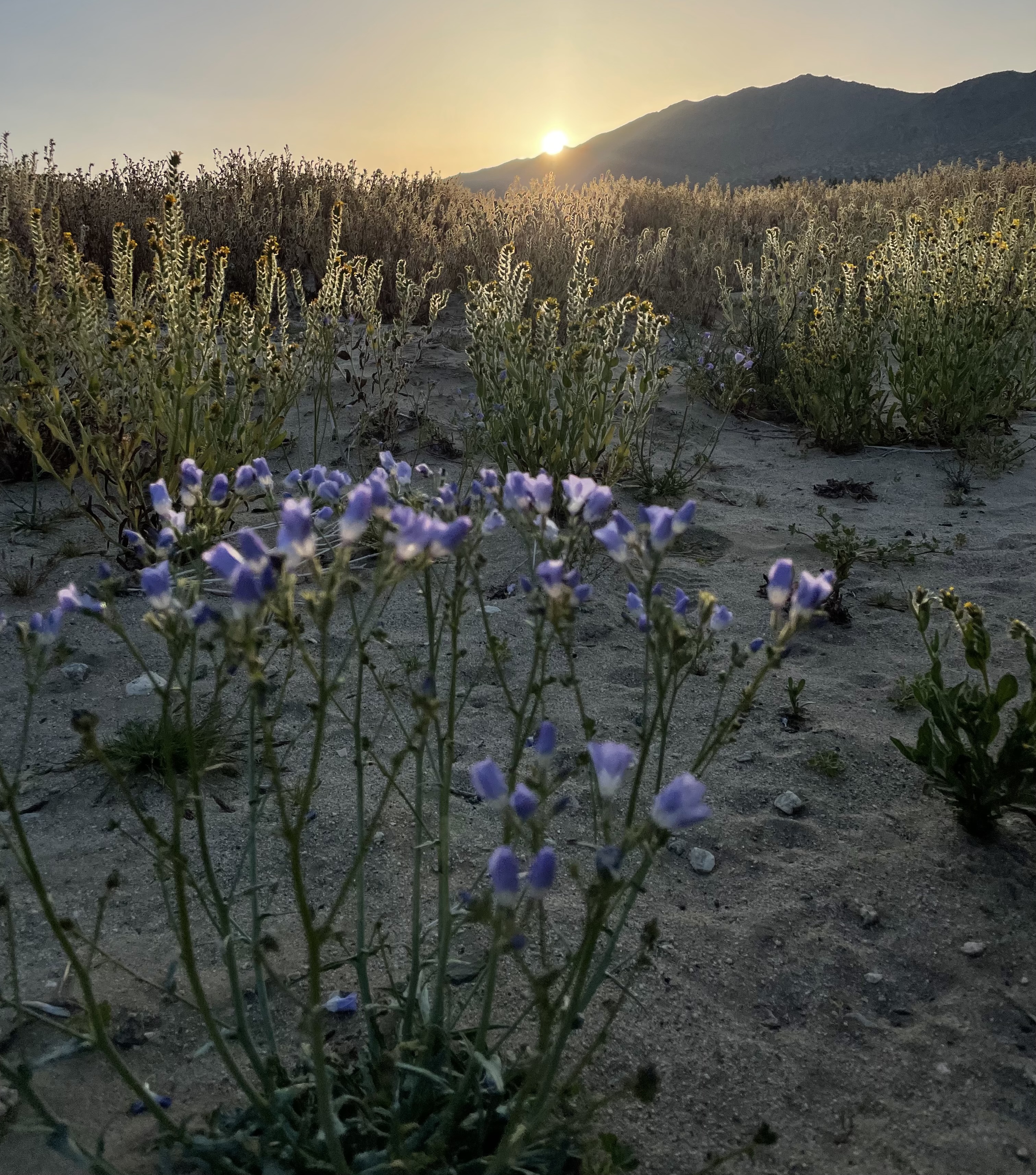
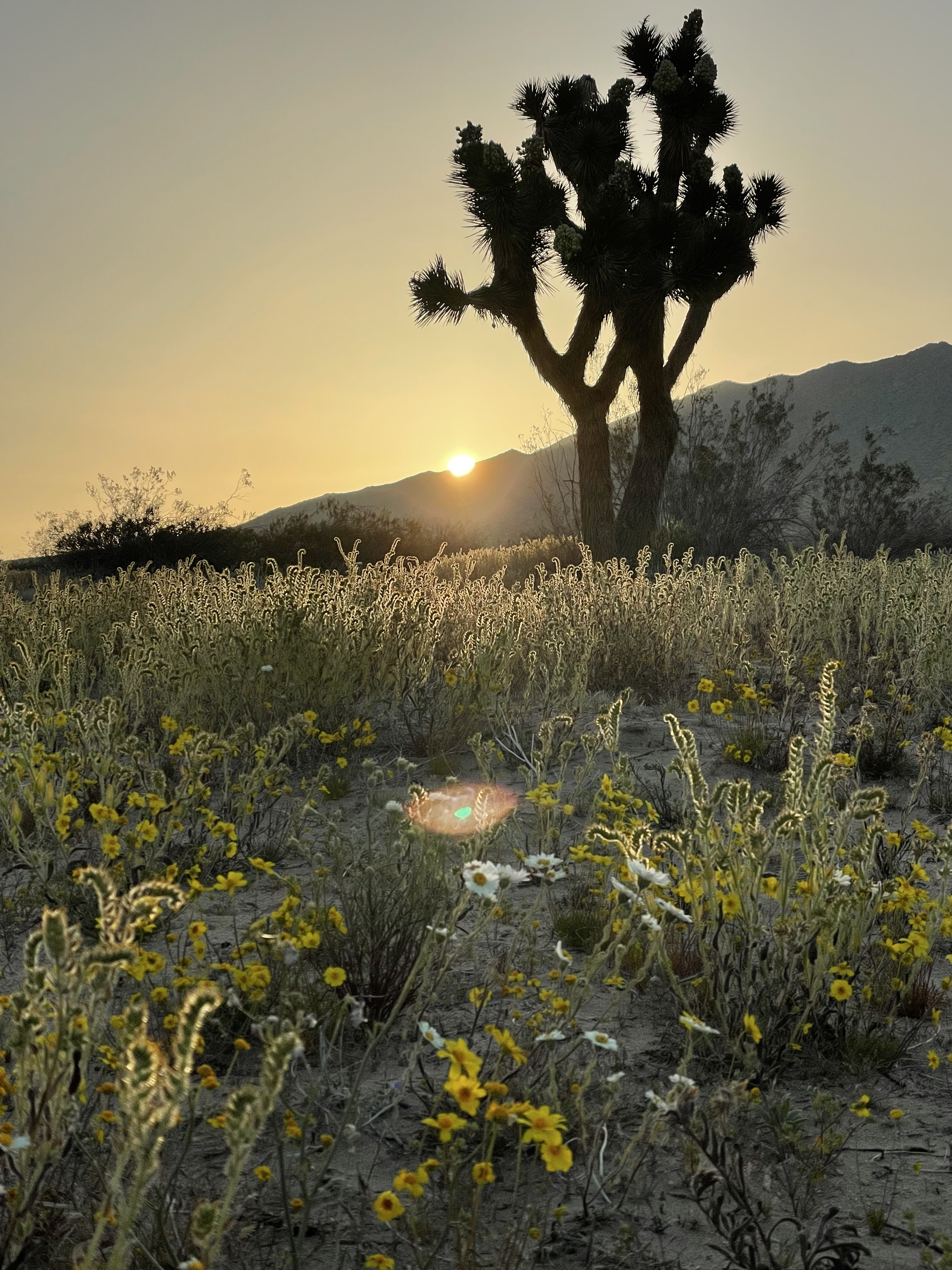
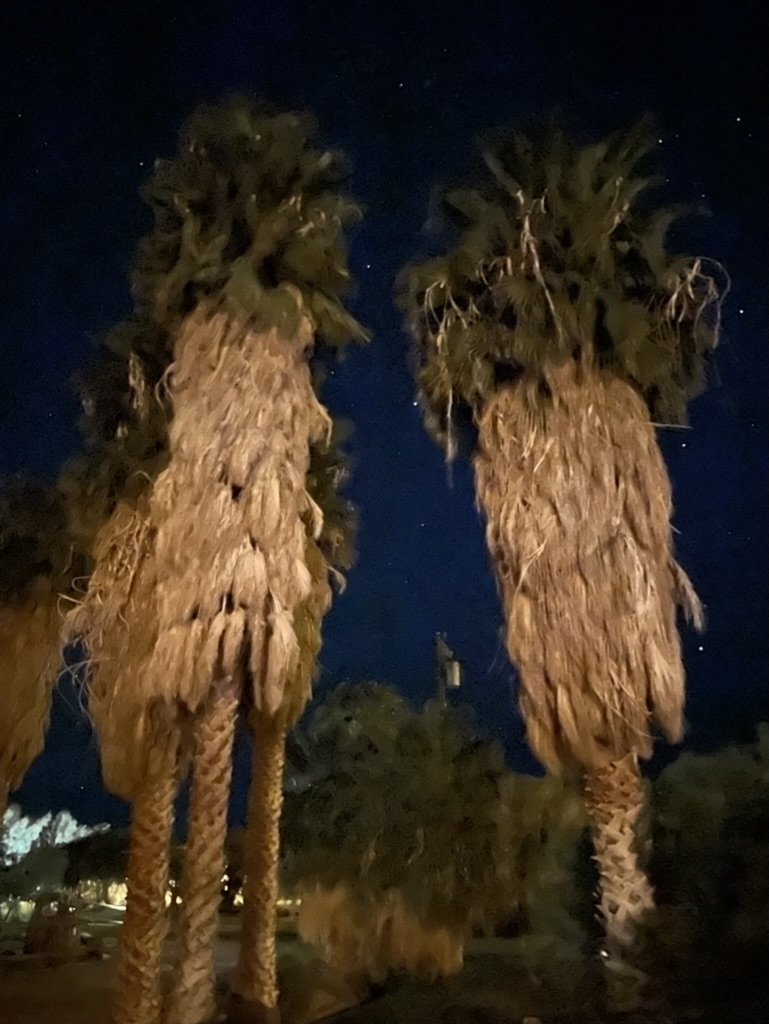
Approaching the Stairway to Heaven

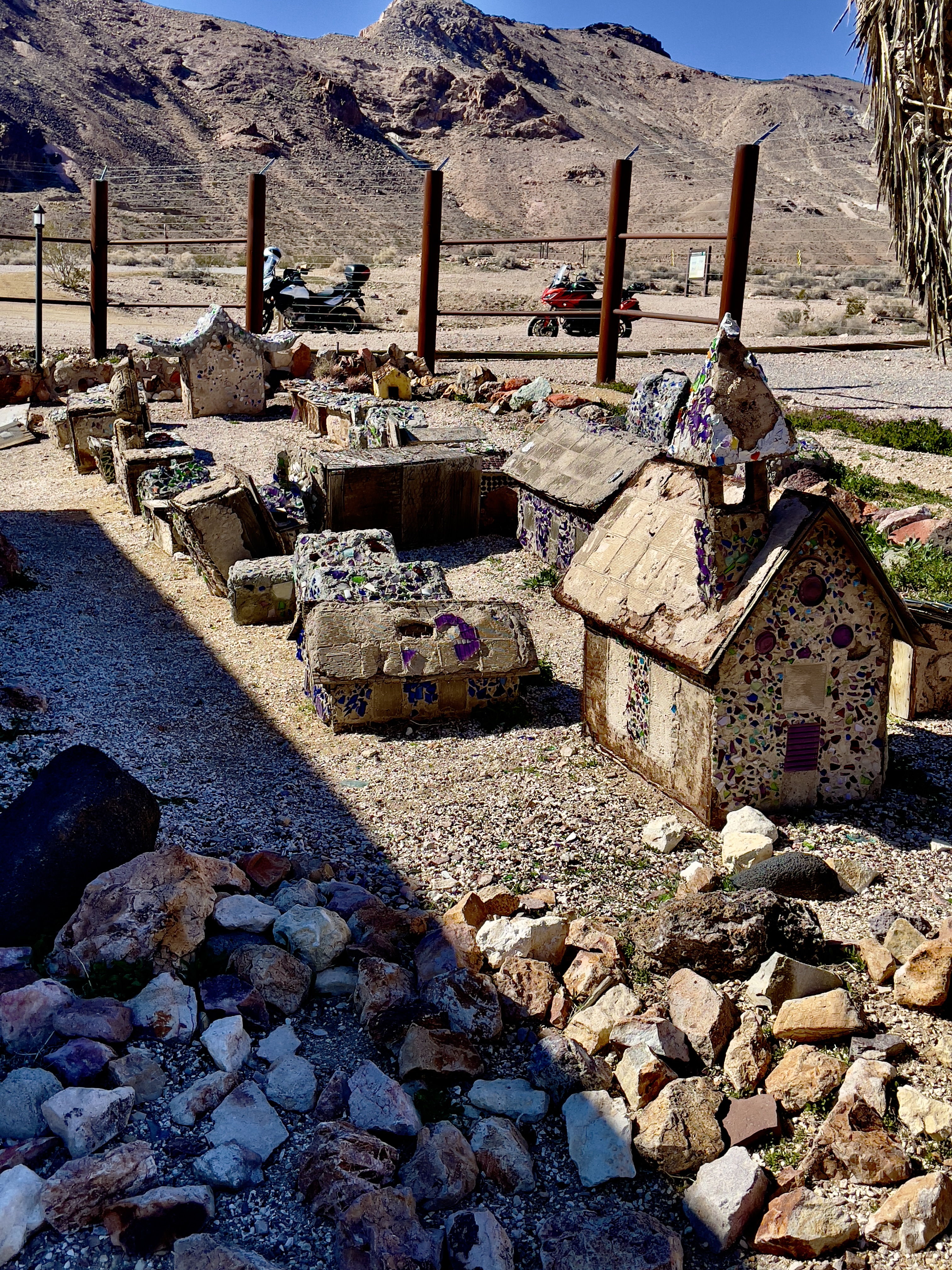
First stop at Camp Connell at 4,760 ft. elev.
If there’s no rain or snow falling from the sky and you’re not in a cloud, the temperature decreases by about 5.4°F for every 1,000 feet (9.8°C per 1,000 meters for the Euros) up you go in elevation. We set out on a comfortable 64 degree morning. By the time we reached Jamestown, 1,427 ft/435 m, the temperature had risen to 85 degrees. Since Merced is at 171 ft/52 m we had gained 1,256 ft of elevation, so the temperature should have been around 77 degrees (85-7.7058 degrees). Hmmm. I doubt I have many Eurometric followers so I’ll dispense with the metric figures. It wasn’t until we reached Camp Connell, (4,760 ft. elev.) above Murphys (2,172 ft elev.) and Arnold (3,999 ft elev.) that we began to feel the temperature dropping. It was nowhere near 25 degrees cooler according to the 5.4 degree decrease factor per 1,000 feet of elevation gained. It was more like 65 degrees, pretty much what it was when we set out from Merced a couple hours earlier, of course, relative to the rise in temperature back home as Earth rotated.
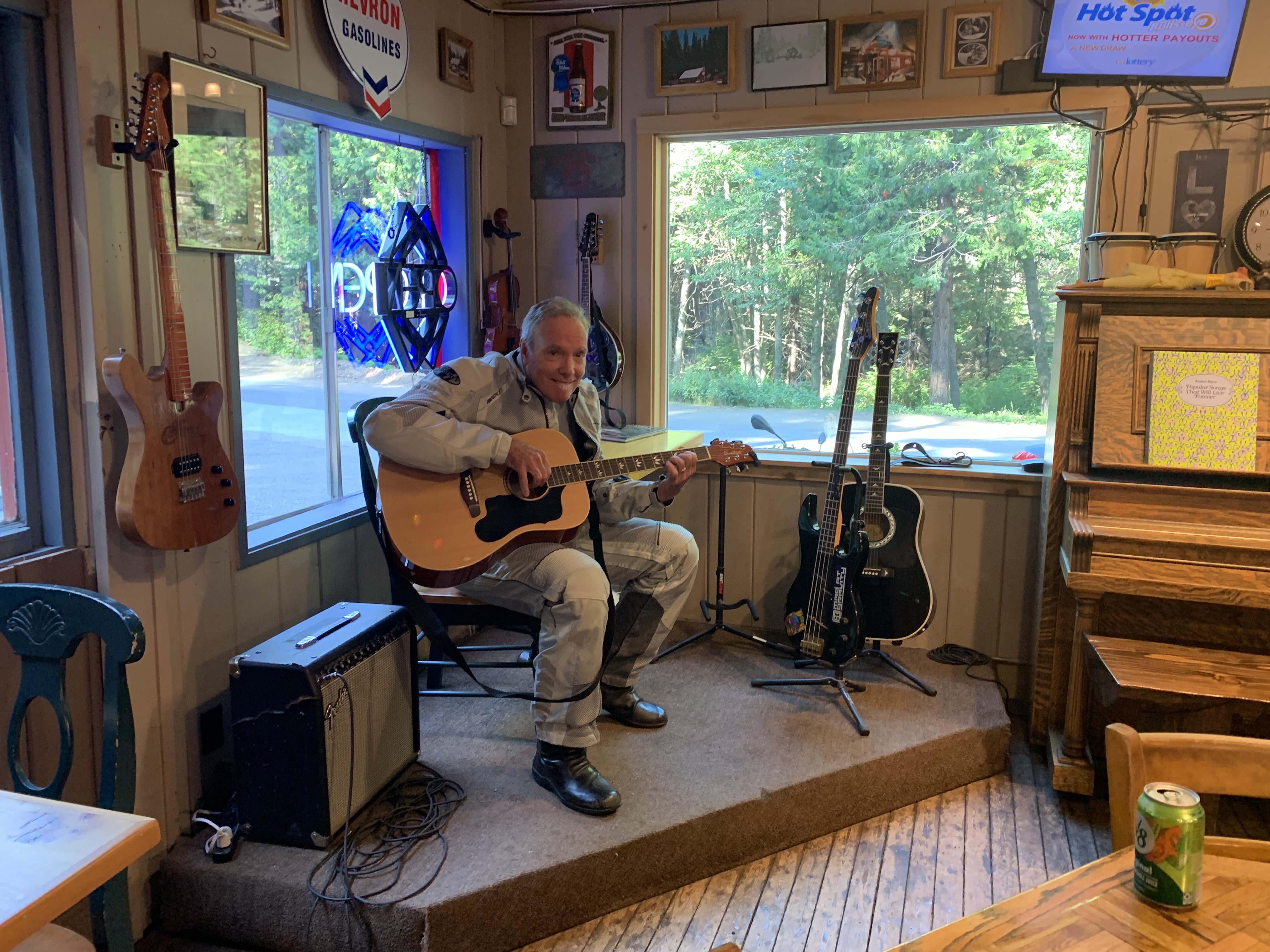


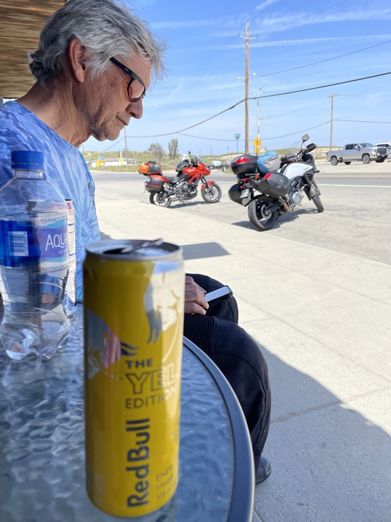
I bought a Mega Millions Lottery ticket with the prize nearing a billion dollars at the Camp Connell Store. I figured my luck was changing because it was getting cooler. Maybe if I won the lottery I could chase cooler weather around the globe. At least I could make the owner of the Camp Connell Store giddy since our guitar solos didn’t. Sadly my changing luck only included the brief respite from the searing heat on this trip. The only thing changing is the climate and without a great deal of concerted effort, will our grandchildren and their children not suffer what is beginning to manifest itself with greater and greater extremes of weather events.
Yes, it’s summer and higher temperatures are expected, but, even higher temperatures we have seen of late have set all time recorded temperature records. And, temperatures are expected to be record setters in August into September as El Niño strengthens. Don’t believe me? Go outside. Or, check out: Dr. Daniel Swane at https://weatherwest.com/ for “just the facts, ma’am.”
Too bad Joe Friday isn’t around to convincing folks of the factual crisis nature of our changing climate.

For the youngsters: https://en.wikipedia.org/wiki/Joe_Friday#:~:text=Just%20the%20facts%2C%20ma’am,neither%20used%20the%20exact%20phrase.
Markleeville for Lunch


Pete, the bikes, and two views from Ebbetts
Not to waste all the mathing I did earlier, in crossing Ebbetts Pass we did not experience a 46 degree decrease in temps from lower down the west slope. But, it was cooler and very pleasant.
We stopped in Markleeville for a return to the Cutthroat Brewing Company for lunch. It was warm, having lost elevation from Ebbetts Pass, bordering on 90 degrees at 5,531 ft. elev.. Fish tacos and a BLT later, we decided to head to Topaz Lake, NV, but not before a fellow with what I believed was a German accent on a BMW 9T paused to admire the Bella Rosso. He noted the Guzzi’s beauty and said he had toyed with the idea of getting a V-85 TT, but replaced his old BMW with a newer BMW. I told him that since my bride was a beautiful Italian, there was only one motorcycle for me. He turned, put on his helmet, started the bike and rode off. I suspect he was feeling a bit envious if not down right covetous of my Italian bride inspired bike over his Brünnhilde…
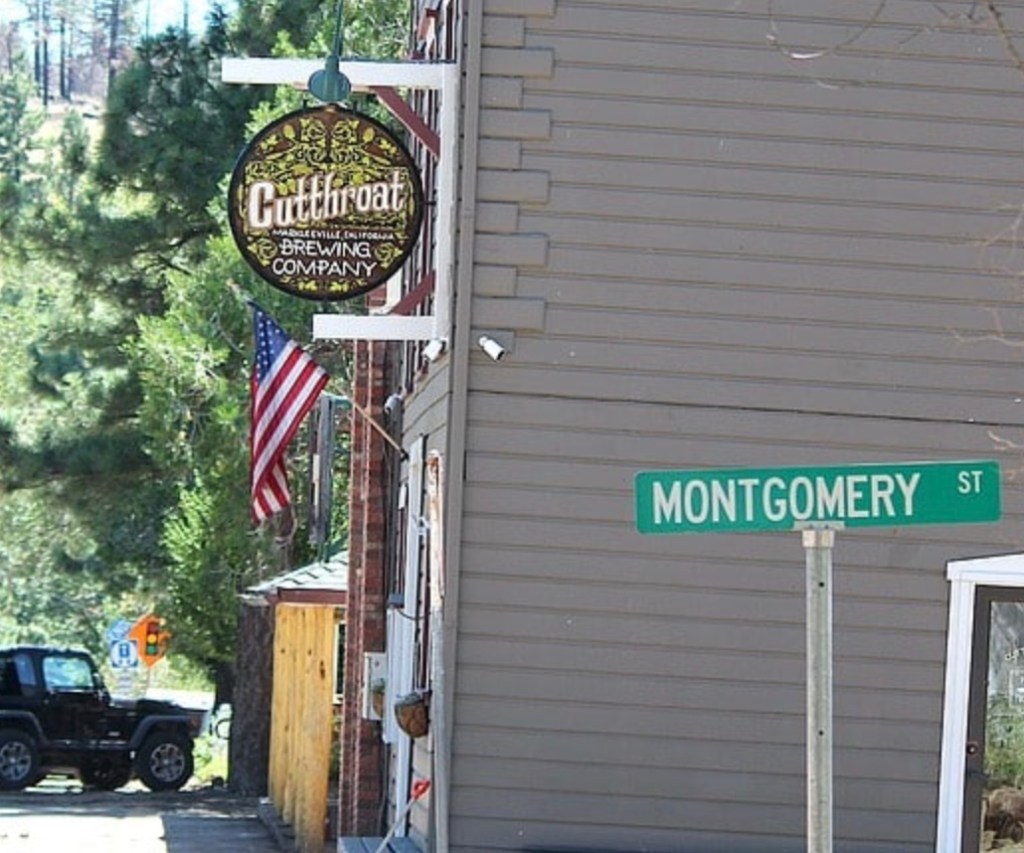
Try the Cutthroat in Markleeville
More Mathing, Climate, FWLS and Navigation

Fuel Warning Light Syndrome (FWLS): 44.6 miles is cutting 50 miles a little too close for comfort
My fuel gauge showed only two of seven bars and the little fuel pump warning light had come on somewhere between Ebbetts Pass and Markleeville. I hadn’t had the opportunity to test the fuel capacity to mileage aspect (FC:MA) of the V85-TT though I remembered reading on one of the forums that you’ve got at least 50 miles, maybe more, to empty when the little light comes on.
Turns out that in Topaz, I filled the 6.076 gallon tank with 4..06 gallons of fuel. So, I had a little over 2 gallons in the tank. At Moto Guzzi’s User’s Manual estimated 48 mpg, I had another 96 miles before empty. The Guzzi TFT was telling me I was getting 51 mpg. At the more conservative Guzzi estimated 48 mpg x 6.076 gallons, that would net 291.648 miles on total full tank cruising range. Since our fuel stop was 173 miles from Merced, and I began the ride that morning with 6 of 7 bars showing on the fuel indicator display, I would have theoretically had 118.6 miles left with the last two bars and fuel light displayed.
That begs the question, what does a bar indicate on the fuel gauge? Nowhere to be found in the User’s Manual. By way of arithmetic wizardry, if I divide 6.076 gallons by 7, the number of bars on the gauge, then each bar would represent 0.95371429 gallons per bar provided the bars represented equal volumes. With two bars displayed, that would amount to 1.90742857 gallons remaining in the tank. At 48 mpg, I could make it 91.5565714 miles before running out of climate changing fossil fuel. User’s Manual, forums advice, or my arithmetic assumptions? How’s that attitude shaping up?
We decided to spare me of FWLS (Fuel Warning Light Syndrome) after lunch and travel the 27 miles to Topaz since I only worked out the mathing as I sit here a week later…


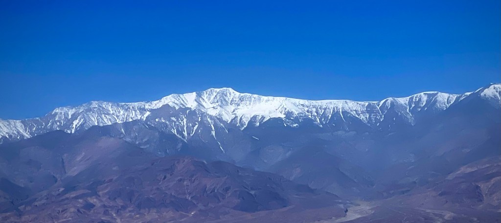
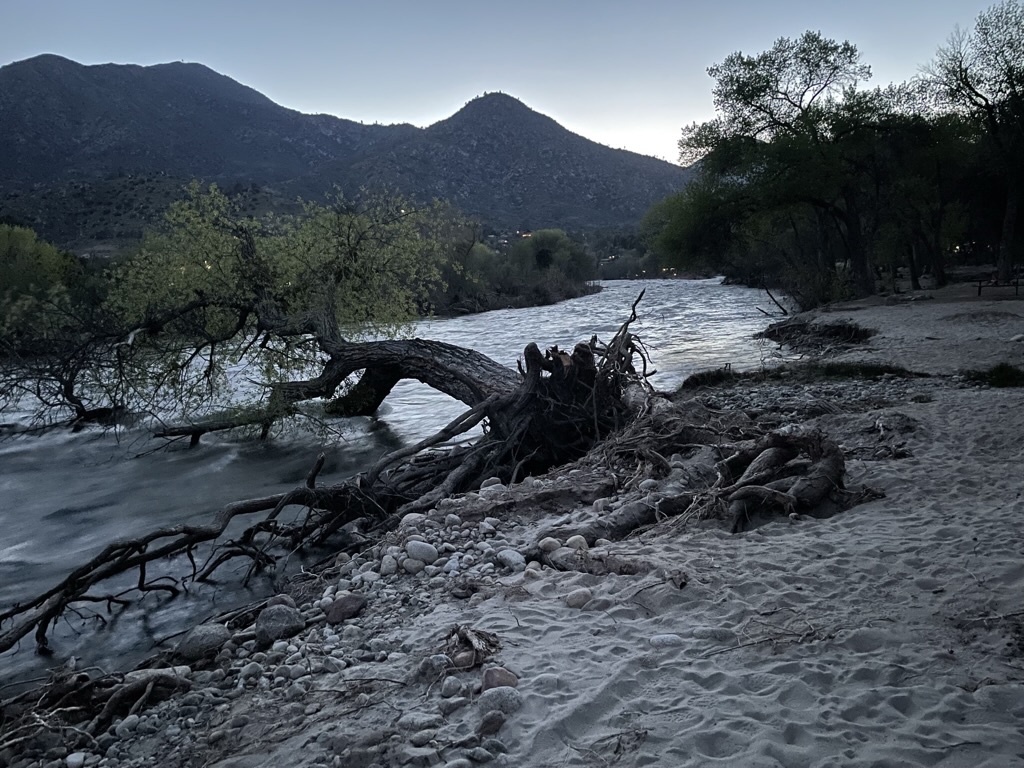
Near Monitor Pass… Yup, that’s snow on the distant peaks
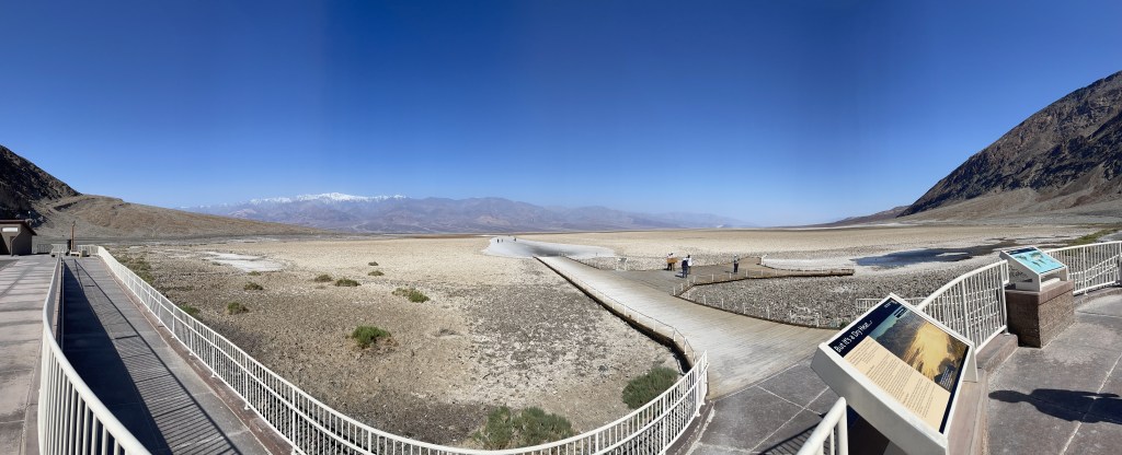
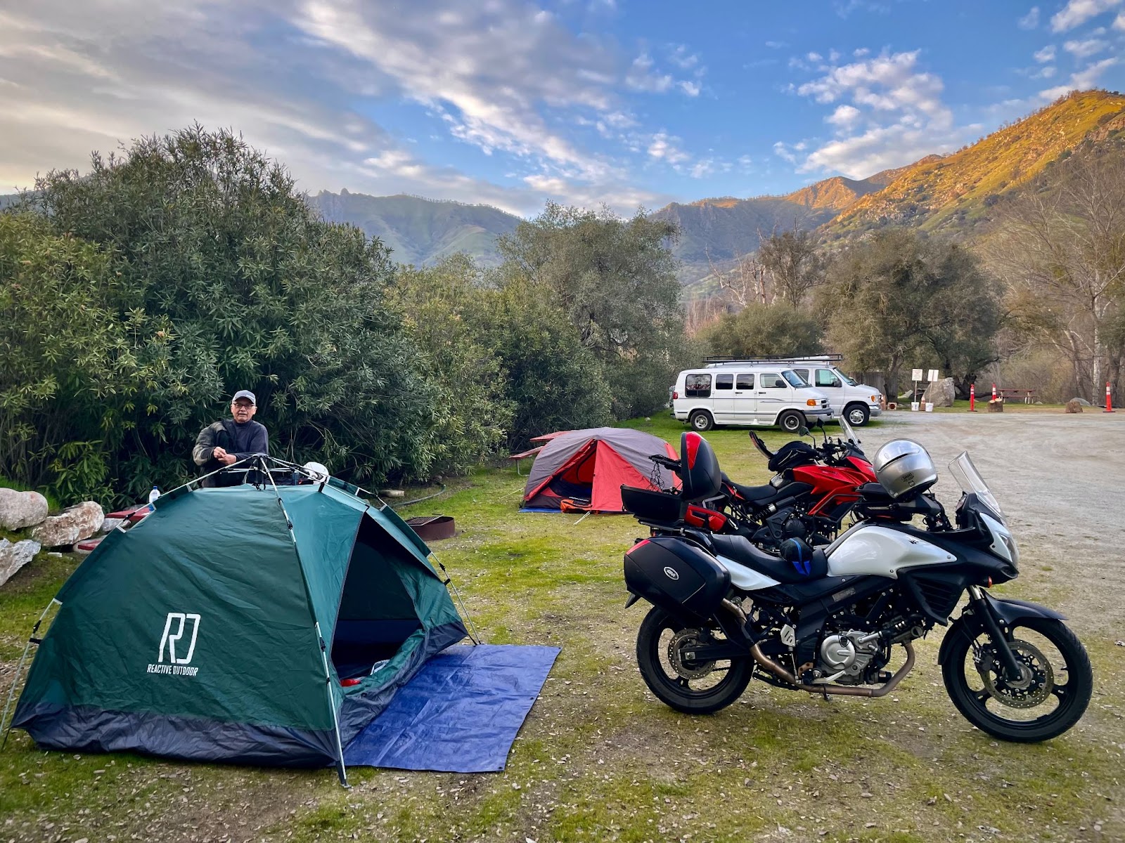
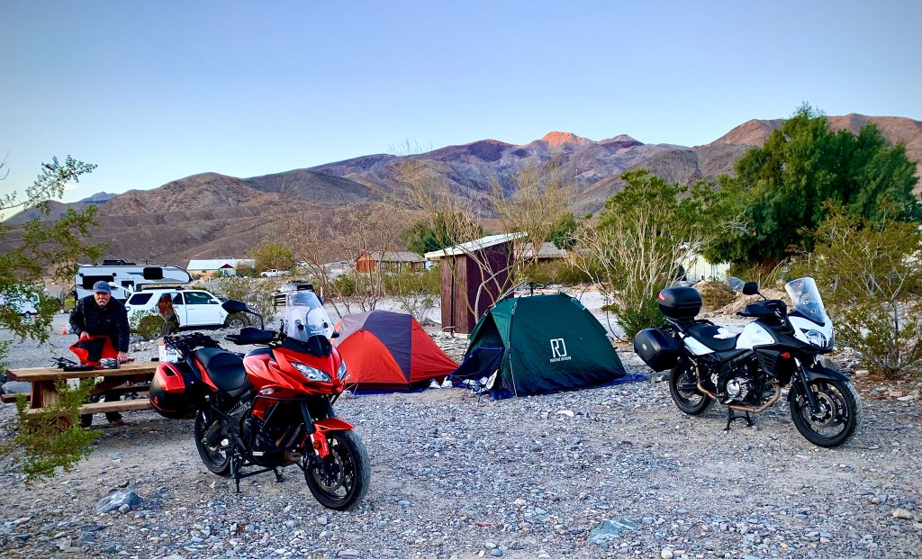
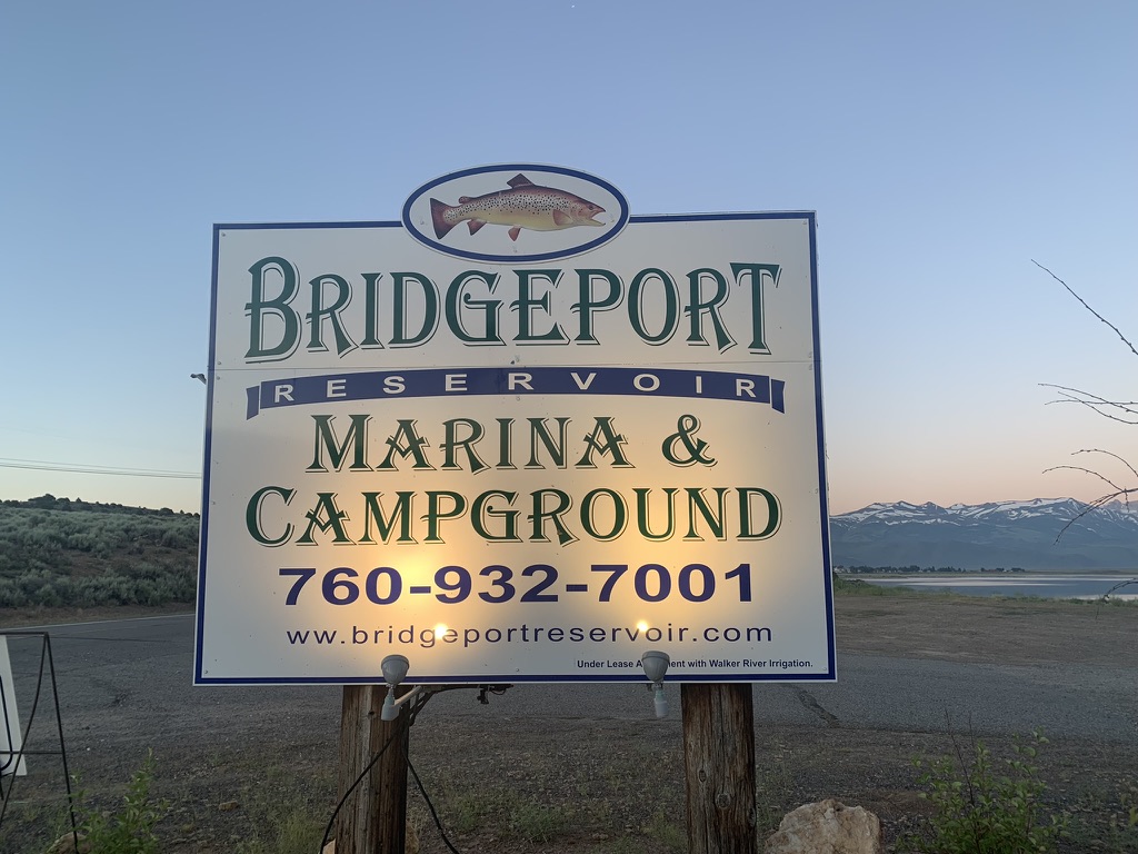
Bridgeport Reservoir Marina & Campground
From Markleeville we backtracked on CA-89 up and over Monitor Pass. Again, in conserving the mathing I did earlier, as in crossing Ebbetts Pass we did not experience a 46 degree decrease in temps from lower down the west slope. Neither did we experience a 43 degree decrease crossing Monitor Pass. But, it was a tad cooler, and again, very pleasant.
We dropped down to US-395 heading north to Topaz Lake in Nevada (5,059 ft. elev.). Preparing to stop for road work ahead, I contemplated the sweat beginning to saturate me and whether I might fall unconscious due to heat stroke waiting for the pilot car to take us through the construction zone. It was at least 100 degrees as we waited. Fortunately, the wait ended after several sweltering minutes balancing the bikes on the heat absorbing tarmac and heat reflecting road-cut wall.
After fueling and deciding to avoid yet another prepare to stop episode, a quick Google/Apple search revealed an alternative route roughly parallelling US-395 that would take us directly to our destination, the Bridgeport Reservoir Marina and Campground.

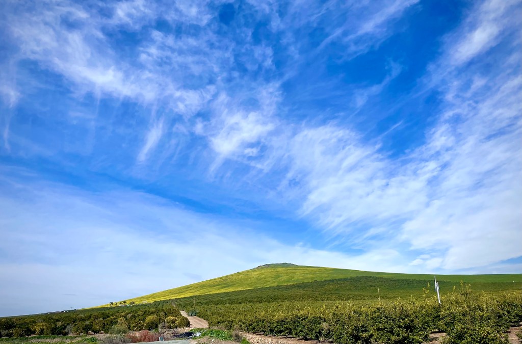
A pleasant detour through rural Western Nevada
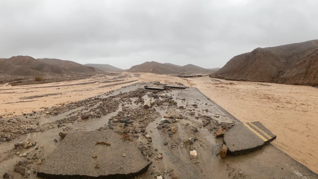
Our only reservation was in viewing the not-so-distant thunderheads and flashes of lightning in the easterly direction of NV-208 that became NV-829 in the little community of Smith Valley where we were headed. A few welcomed raindrops began to fall just outside of Smith Valley along with the cloud cover, cooling the route. About 4/5 of the way on NV-208 we came upon a public utility vehicle with flashing lights and a sign that cautioned: Incident Ahead. Figuring there was some sort of vehicle accident we were surprised to see the road ahead had been washed over near Water Canyon as a flash flood had appeared to have just raged across the road, burdened by mud and gravel with trees and limbs held back by what appeared to be a retaining fence up canyon. It’s always the weather upstream that presents the danger of a flash flood downstream.
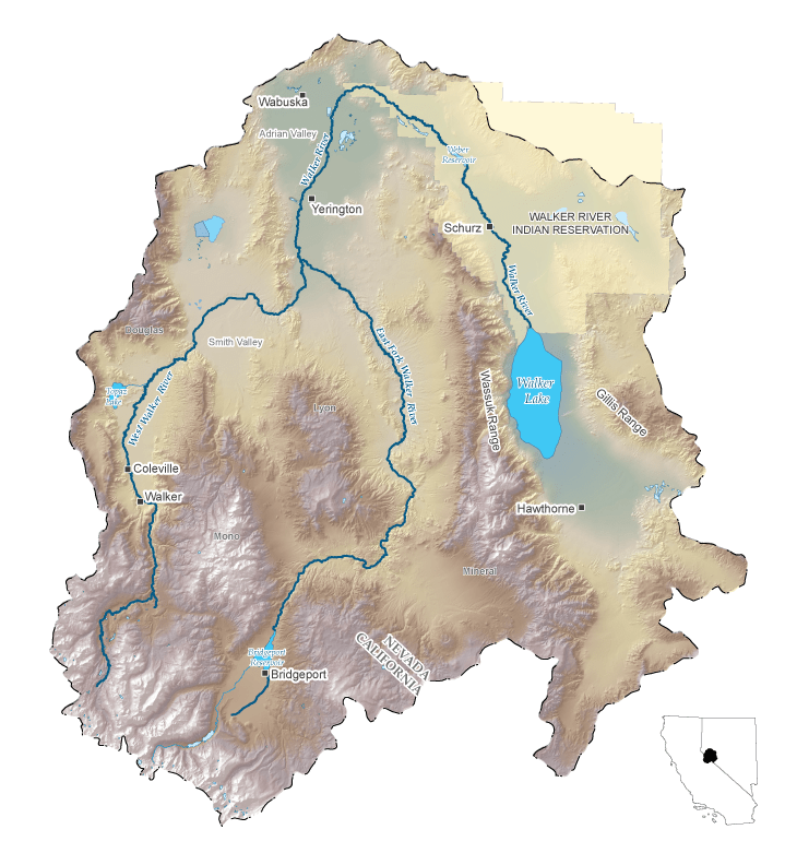
The Walker River begins in the Sierra Nevada as the East Walker River and the West Walker River. In Mason Valley, just south of Yerington, Nev., the rivers converge to create the the Walker River. The Walker River terminates in Walker Lake. Walker Lake is a terminal lake, meaning that the lake has no water that flows out from it. Since 1882, the level of Walker Lake has declined more than 150 feet. This decline in lake level has caused an increase in dissolved solids making the lake much more saline. The rise in salinity has made it difficult for fish and other wildlife to survive in the Walker River Basin.
The ecosystems and recreational uses of Walker Lake and other terminal lakes in the Great Basin have become at-risk due to consumptive water use. USGS provides scientifically sound data and investigative studies in the Walker River Basin so stakeholders can evaluate alternatives for supplementing flow to Walker Lake while maintaining a healthy agricultural economy. https://www.usgs.gov/centers/nevada-water-science-center/science/science-walker-river-basin
This appears to be a case of the euphemistic “consumptive water use” doing to Walker Lake what the LADWP has done to Mono and Owens Lakes in downstream activity (diversion for “consumption”) presenting a danger to the ecosystem of the basin. From the Bridgeport Reservoir and Marina website:
Established in 1924, the [Bridgeport] reservoir was constructed to aid farmers and ranchers downstream in Nevada. Soon after, it was realized a strong fishery could occur here too. Today, it sustains a population of Rainbow and Brown Trout as well as some Sacramento Perch. A rich ecosystem, similar to Crowley Lake, provides an unlimited food supply for the fish to grow and populate. The Reservoir provides anglers of all ages and skill to catch fish, whether one is Trolling, Still-Fishing or Fly- Fishing.
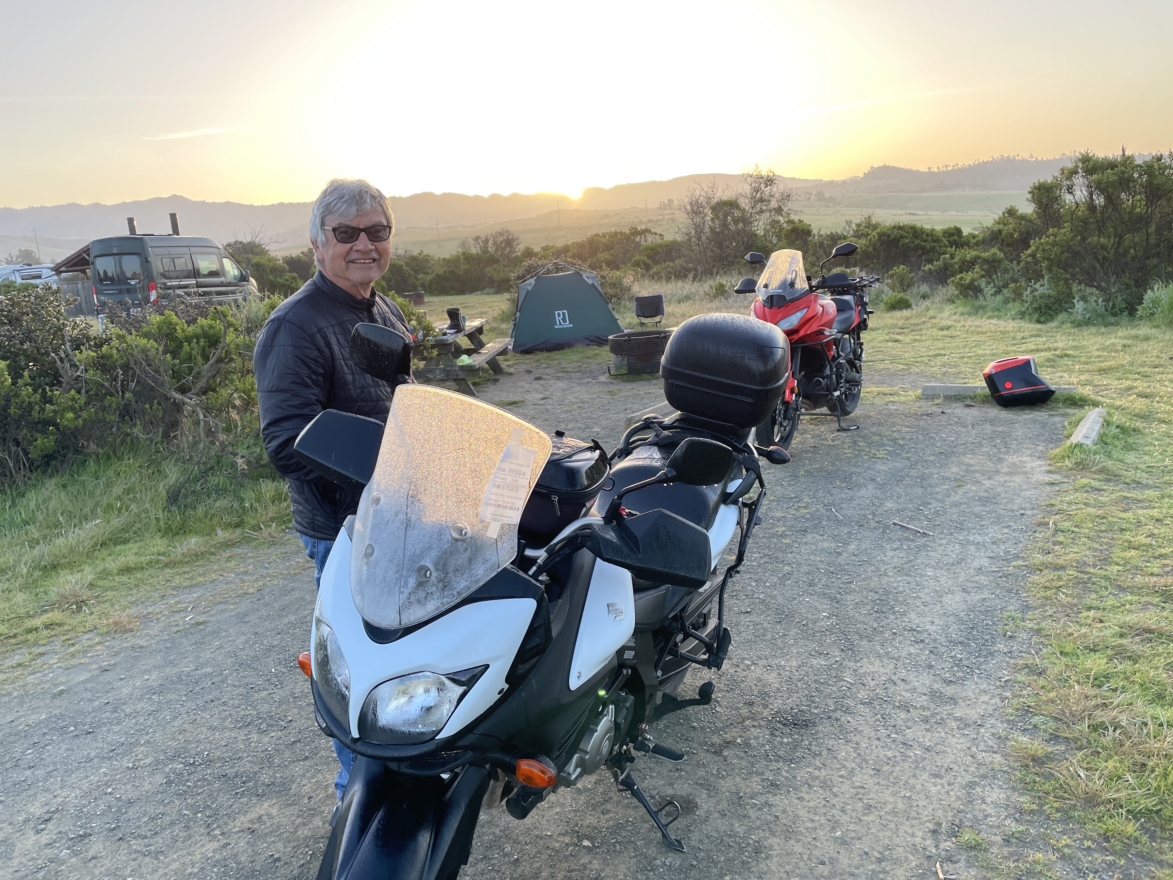
Shortly after our arrival at the reservoir, a couple and their infant showed up in the tent site just down from us. Dad was apparently a serious fisherman because he had one of the most tricked out fishing kayaks I’ve ever seen. I’d be surprised if he couldn’t catch every last Rainbow and Brown Trout in the reservoir. Good thing CDFW limits catches to 5 trout a day. On the other hand, he may just be a catch and release fisherman and trout could live to fight another day.


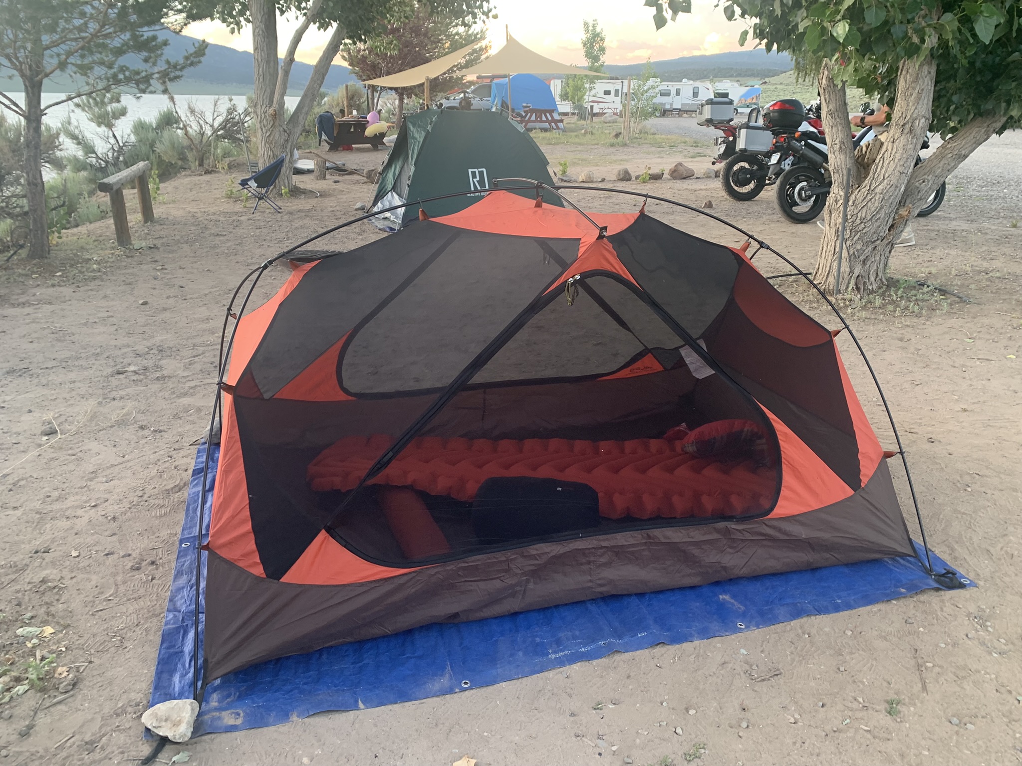


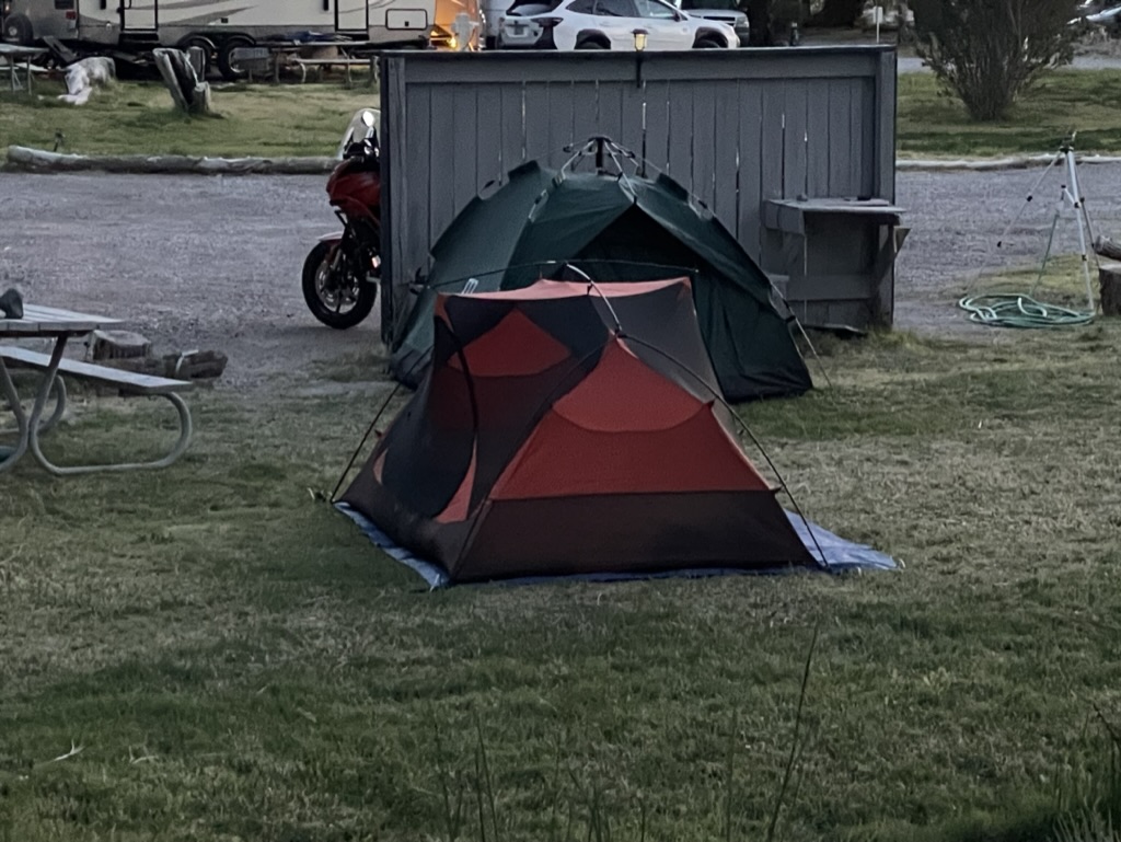
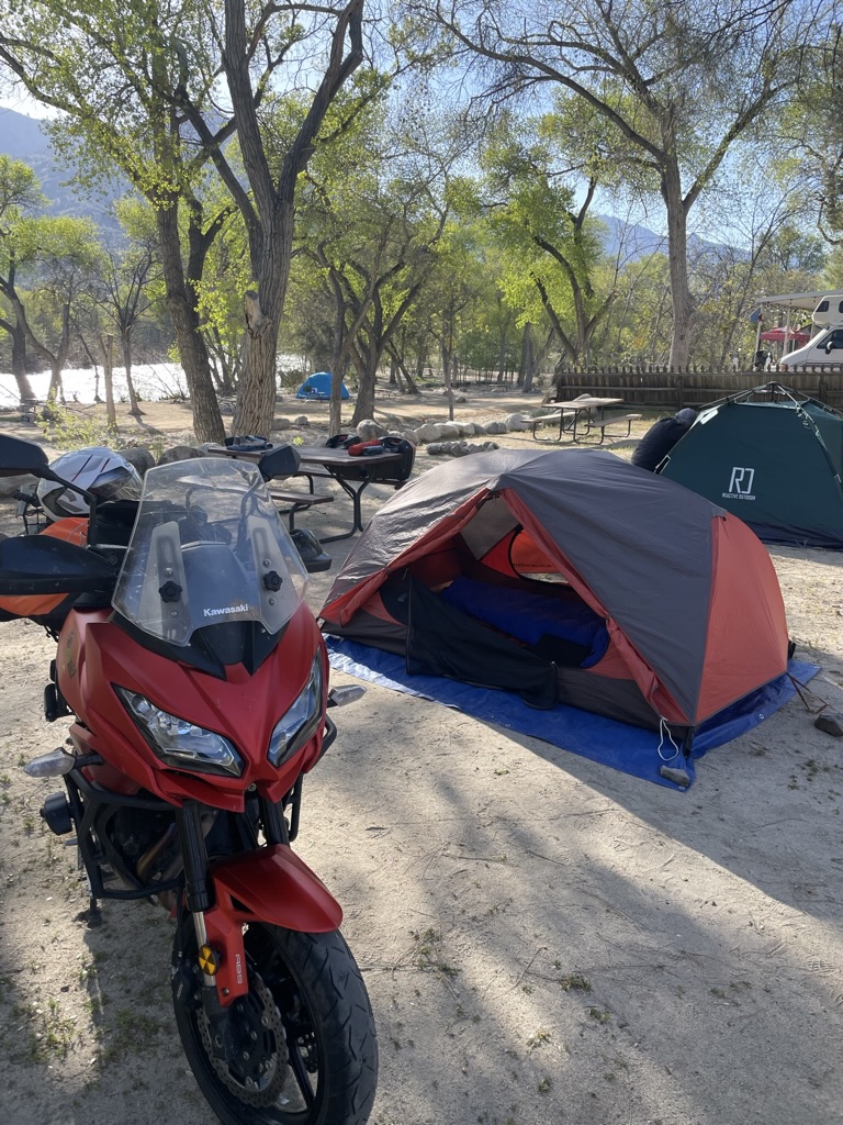
The scent of sage filled the air as we set up camp before heading into town for rehydration and dinner.


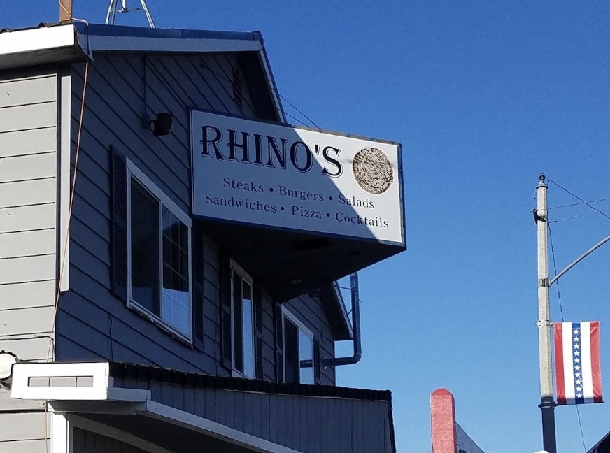
A quick whistle-wetter at the Big Meadow Brewing Company under misters and shade cloths that made the outdoor seating tolerable if not downright pleasant. Then it was across the street to Rhino’s for comestibles and the place was packed. Pete and I sidled up to the bar to order the night’s meal and this is where I met my new best friend, Brad who joined us by way of an adjacent stool.
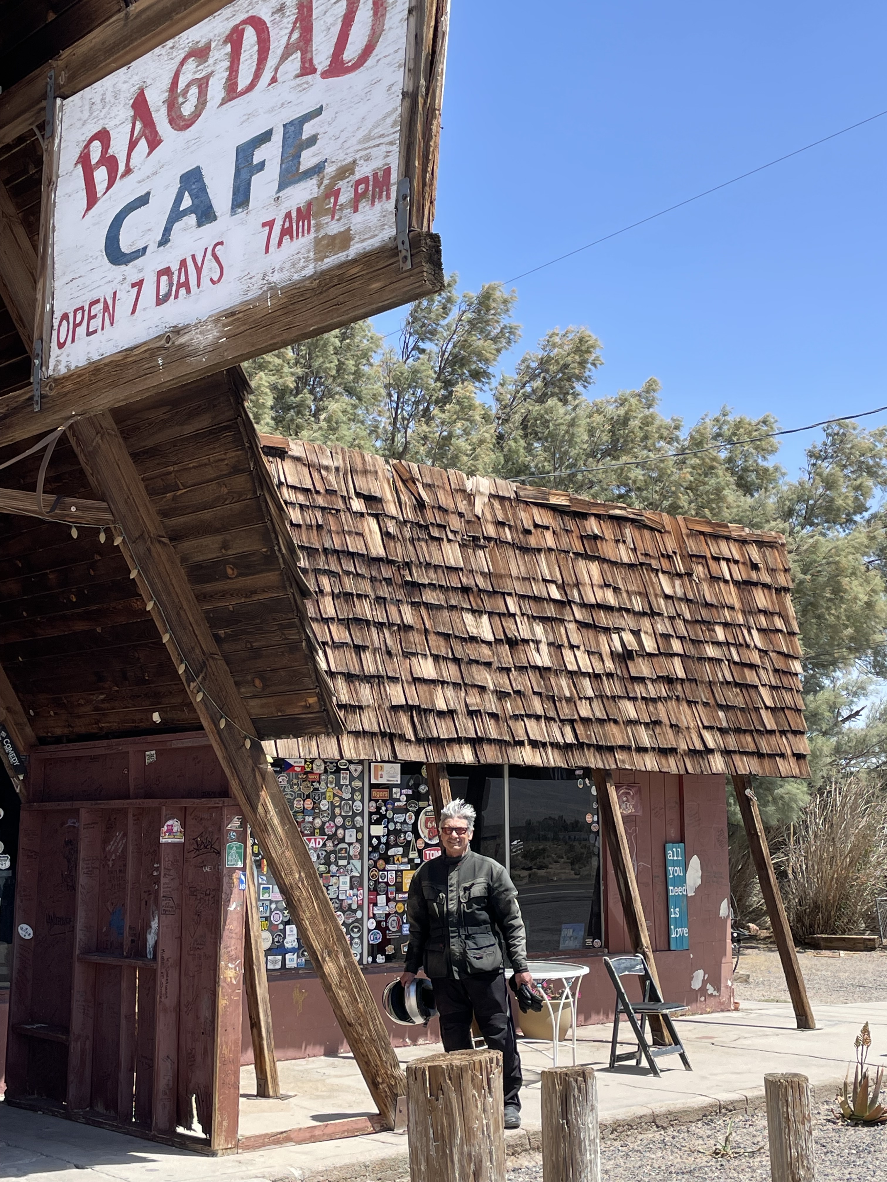
It seems Brad is like Pete and me, retired. It also seems like Brad spends a good deal of time at Rhino’s seated at the bar. I engaged him in conversation by apologizing for taking up real estate at the bar by putting my helmet and jacket on the stool next to mine. He replied that we could have left them on the bikes out front because no one in this honest town of some 509 souls would think of taking them. “Besides, if someone would take them, we’d see to it they would never take anything that didn’t belong to them again…” as he snickered, no doubt amused by his reassuring us that the law abiding citizens of Bridgeport were not above or below taking the law into their own hands ala Jason Aldean.
He waxed on and on about his life on the East Side, about the horrendous winter snowfall of 22/23 that was causing him to have to rebuild his home on the reservoir; about his retirement from the Mono County Road Department; about his wild motorcycle antics on his Harley Dyna and KTM Super Duke; about his mountain biking misadventures; and about how he only needs to go shopping in Reno once a month for supplies.
I managed to eat about half of my Rhino salad listening to his Brief-But-Spectacular-Life in Bridgeport. I have to admit that I did envy his living in such a magnificent setting on the East Side. I had respect for what it must take to eek out a living, own property, survive the harsh winters, and enjoy a “Norm” like personage at the local watering hole. And the bartender/ waitress was correct in suggesting the mild buffalo sauce on the grilled chicken in the Rhino’s Salad. I left feeling that Bridgeport really is the kind of place,
Where everybody knows your name
And they’re always glad you came
You wanna go where people know
People are all the same
You wanna go where everybody knows your name
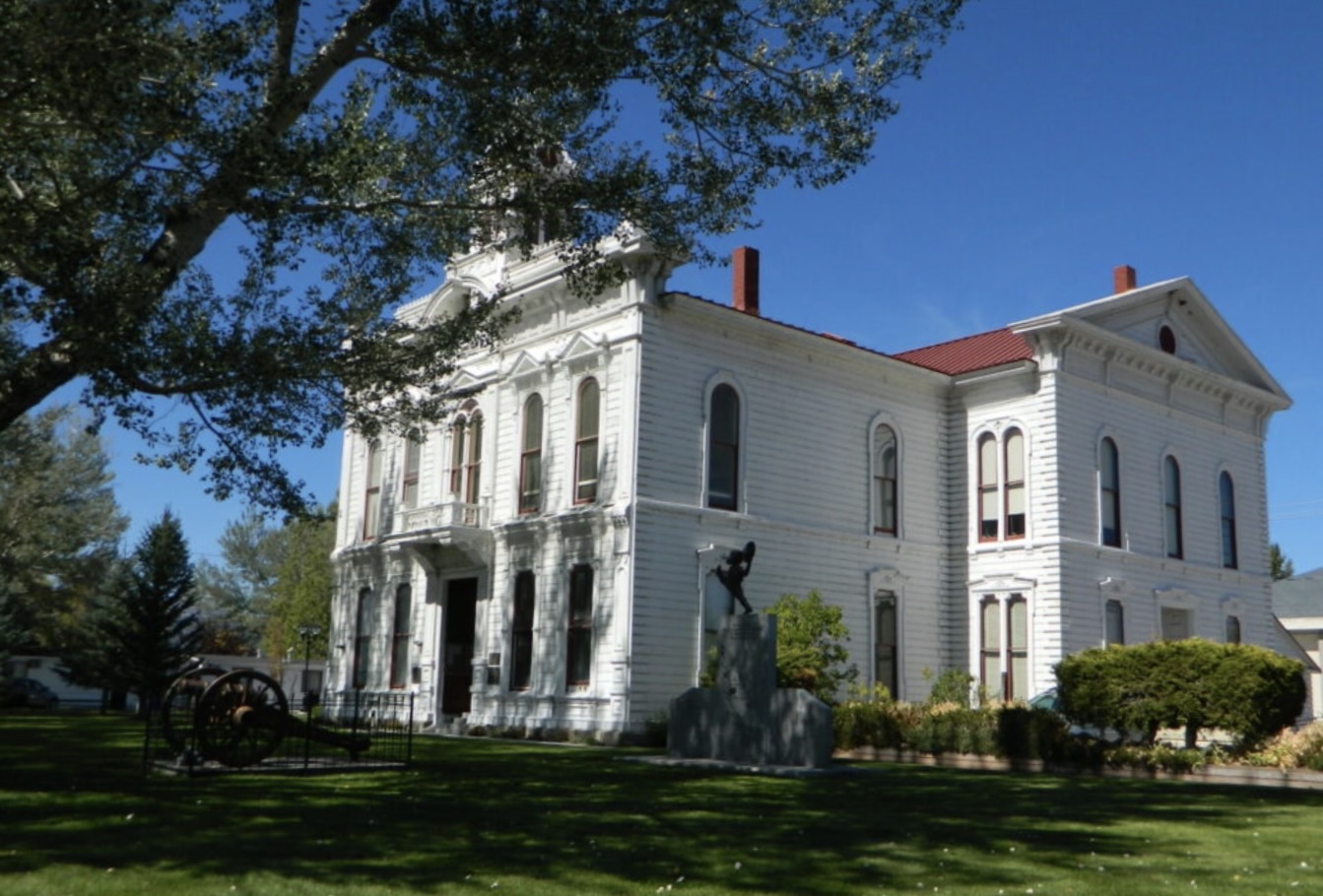
Brad was not the only local “color” we witnessed in Bridgeport. We noticed that several stately looking gentlemen who appeared to be conducting some sort of official business while enjoying cool canned grain and hops derived beverages in their plaid rolled-up long sleeved shirts, tractor and cowboy hats. They were seated on the curb near the Superior Court Building and leaning on the bed of a pickup in the parking space in front of Ken’s Sporting Goods. They were there when we arrived hardly noticing our arrival on motorcycles and had yet to conclude their business when we prepared to depart after dinner. Since Ken’s Sporting Goods and The Bridgeport General Store and Market were closed, we noticed an ice-chest had appeared. I suspect this counsel was considering important civic issues and were deliberating in the cool evening air as the Courts building, built in 1880, likely didn’t have air conditioning. There must have been a particularly vexing civic issue under discussion to require an ice-chest intervention…
Nighthawks
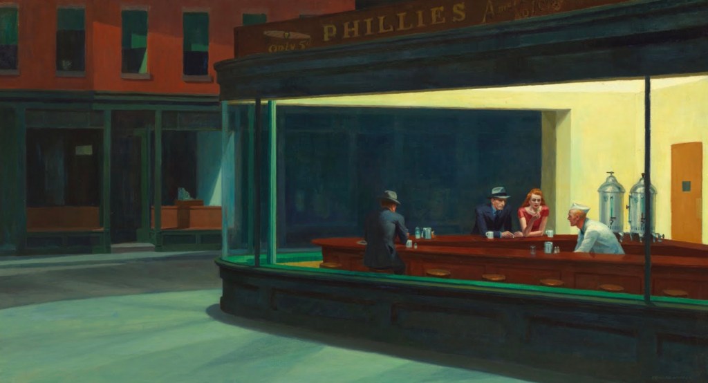
Nighthawks or Night Owls?
Edward Hopper said that his painting “Nighthawks” was inspired by “a restaurant on New York’s Greenwich Avenue where two streets meet.” He noted that, “unconsciously, probably, I was painting the loneliness of a large city.”
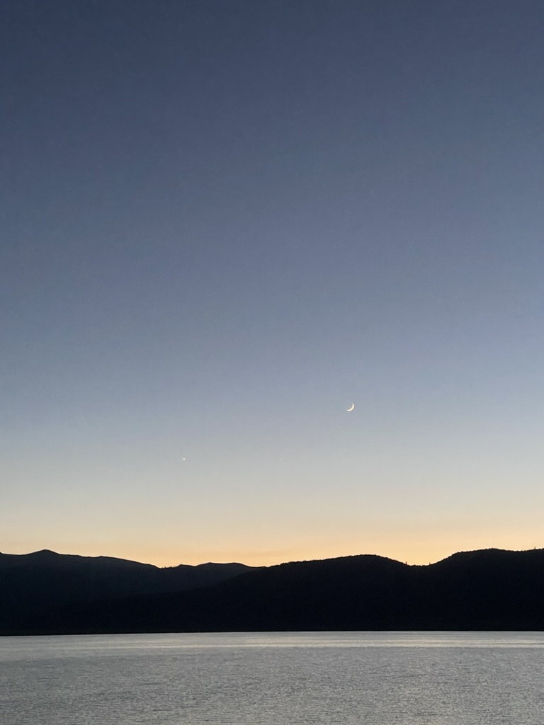
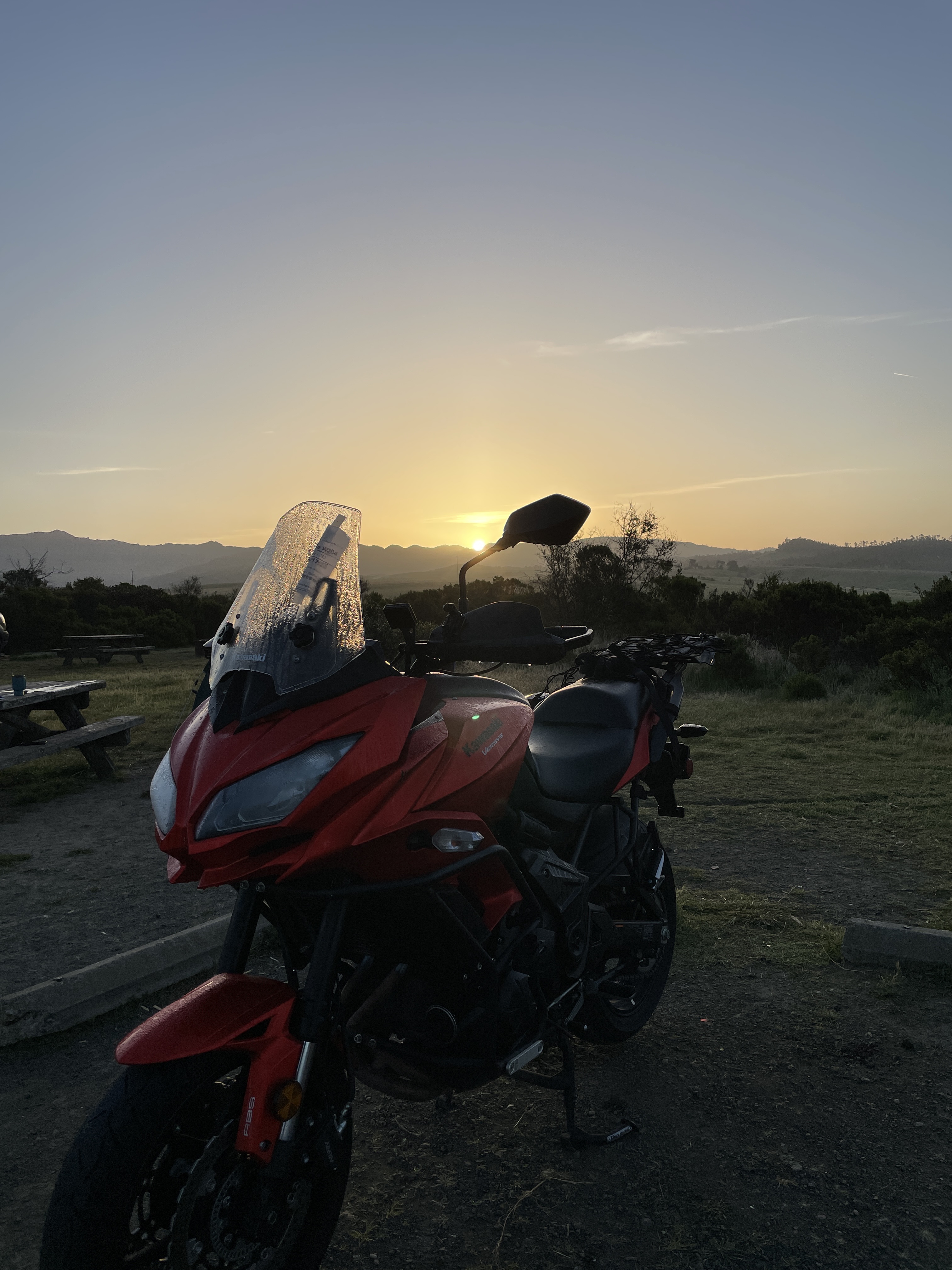
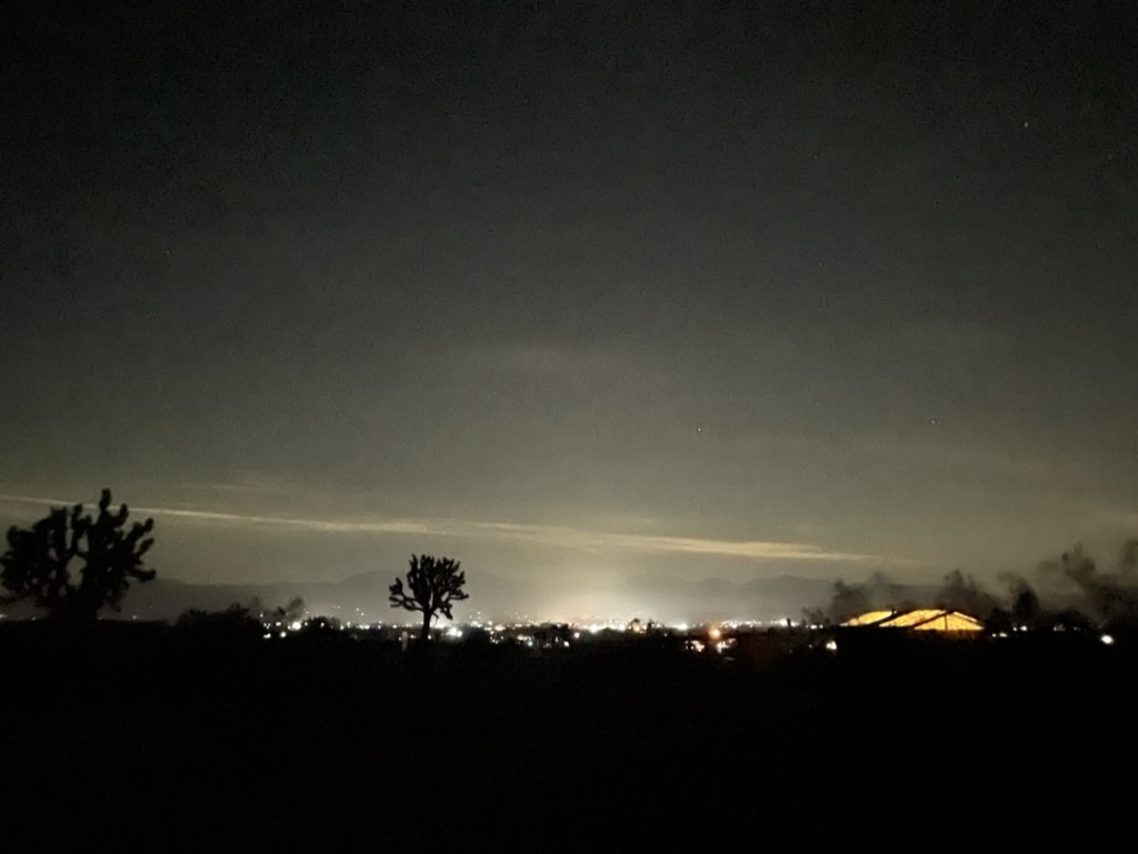
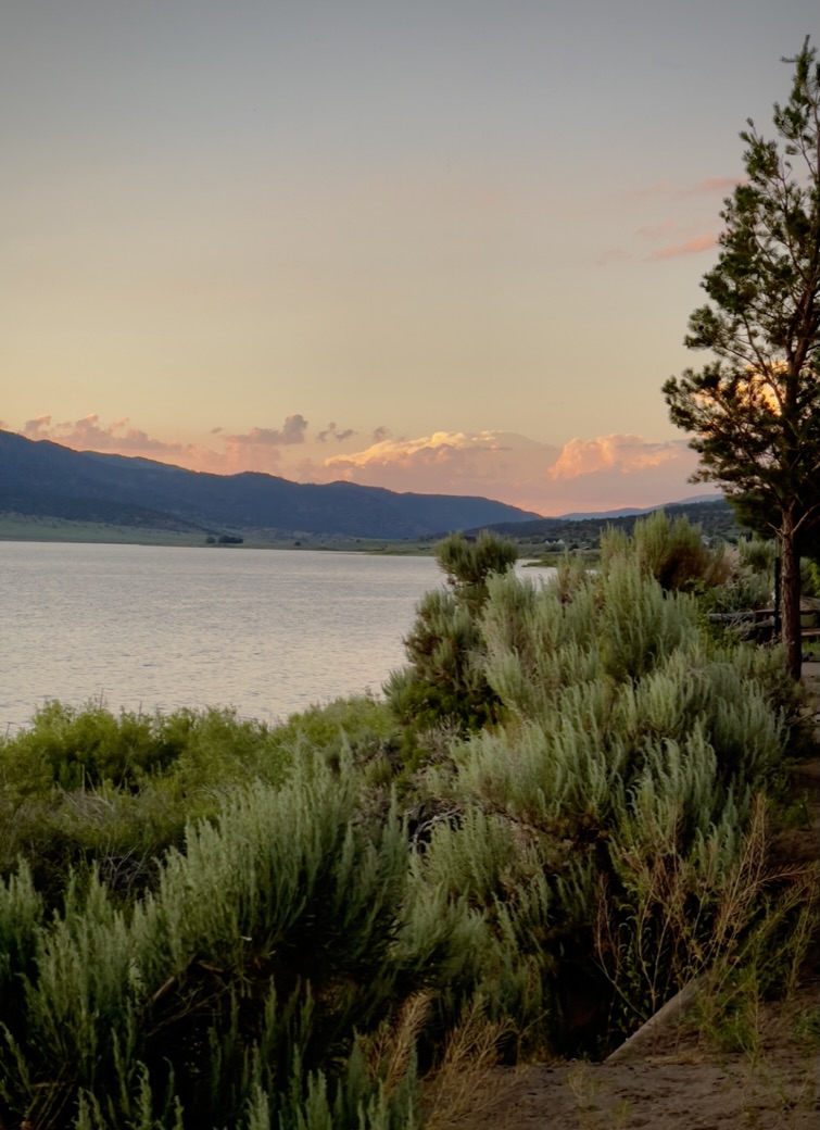
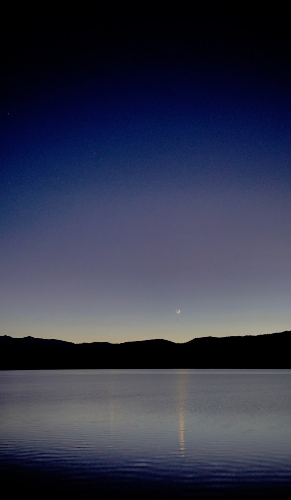
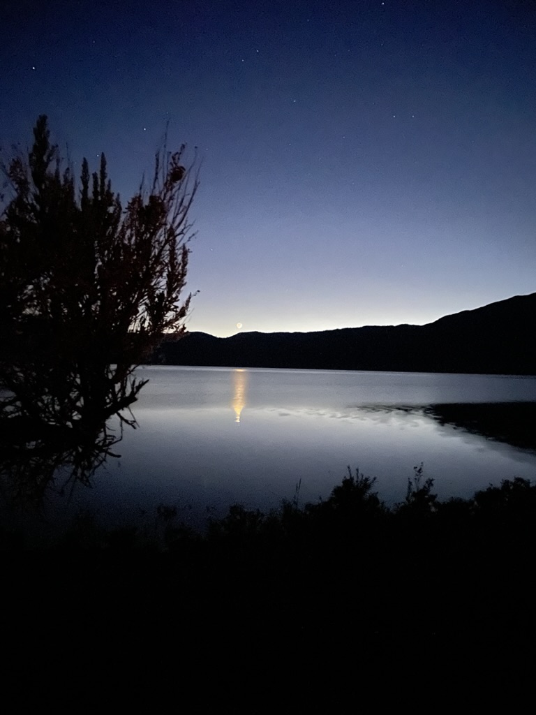
The waxing crescent moon and Venus at twilight
There doesn’t appear to be anything lonely about the expanses of a rural high desert lake at sunset when the Goodnight Moon, Venus, Mars and Common Nighthawks are present. I was filled with a comforting sense of the organic order of the elements: the water, the fauna, the mountains, the fading sunlight, the sage scented air, and emerging heavenly bodies. There was too much going on surrounding me to feel lonely.
Having procured a few ounces of Three R’s Elixir which stimulates rehydration, relaxation, and reflection it was time to enjoy one of the best parts of moto-camping: The setting sun, the calming 15 mph winds coming off the lake which provided natural air conditioning at our campsite and emergence of the Common Nighthawks, chordeiles minor. The Nighthawks took to wing, their sharp, electric “peent” call the first clue they were overhead. In the dim half-light, the long-winged birds flew in graceful loops, flashing white patches out past the bend of each wing as they chased insects. Along with mosquito repellent wipes, we were fortified against the Great Sierra Mosquito Plague of 2023, reassured that our ariel foraging friends would spare us from annoying little aedes and culex buggers or any of the other 3,500 species described in scientific literature.

Chordeiles Minor courtesy of Wiki
On a previous summer evening, when Pete and I had camped in the same campground, we witnessed the male Common Nighthawk’s dramatic “booming” display flight. Flying at a height slightly above the lake, he abruptly dove for the shore. As he peeled out of his dive (sometimes just a few feet from our heads) he flexed his wings downward, and the air rushing across his wingtips makes a deep booming or whooshing sound, as if a racecar has just passed by. These dives may be directed at females, territorial intruders, and even people since they were flying just above our heads. On this night I guess we weren’t confused as female Nighthawks or territorial intruders. I guess with all of the bad press the Orcas and Sea Otters are getting the Bridgeport Nighthawks felt compelled to leave us be.


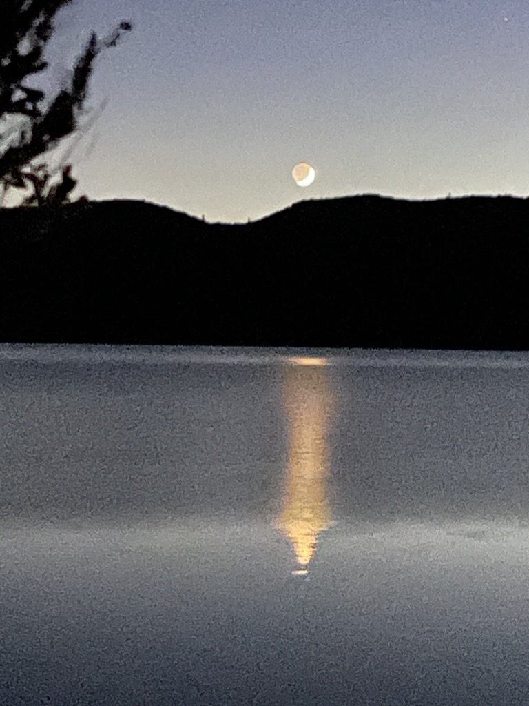

UFO or UAP?
In the series of photos above, the moon, Venus, and Mars are visible. At least they were on the shore of Bridgeport Reservoir. Pete and I often remark that every object that registers a different color against the backdrop of space and the distant galaxies or can be determined to be moving, is a UFO. At the lower right is the first real photo I’ve taken of this new unidentified aerial phenomenon. Unfortunately it was neither a UFO nor a UAP, but an IAD, Identified Aerial Drone that belonged to fellow camper.
Our campsite neighbor in space 17 was a woman of considerable moxy who was traveling from Seattle to spend some time with her daughter who was spending her summer camping along the East Side of the Sierra. Our neighbor had two dogs, one small and one medium sized. The small dog yapped as small dogs do to announce their ubiety. The medium dog snarled as dogs of greater statute do to announce their assertion of boundary. Since she was traveling solo, I’m sure the dogs provided some measure reassurance from any malfeasance as well as company. She was sleeping in her Honda CRV, snuggling with her curs. We exchanged campground pleasantries sharing our respective journeys as she produced a clutch of firewood purchased at the Marina Store. She had little idea about how to start the fire as she had place a small box that contained what might have been her dinner that evening under the split pine logs as kindling. Luckily, I had stashed some paraffin fire starter bricks that I bring along for just that sort of occasion. The wind had abated so her fire, with a little coaxing, crackled pleasantly casting a dome of soft golden light dancing over her’s and our campsite.

What would Melanie Daniels aka Tippi Hedren think?
Disappointed about the fake UFO/UAP, we allowed ourselves to suspect these were alien intelligence collecting craft (AICC) made to appear to be Nighthawks. But as our neighbor’s campfire faded and our imagination inducing elixir was kaput, it was time to turn in concluding that our Nighthawks were really our companions to take the edge off of any perceived loneliness on the shore of a rural high-desert lake on the Eastern Side of the Sierra.
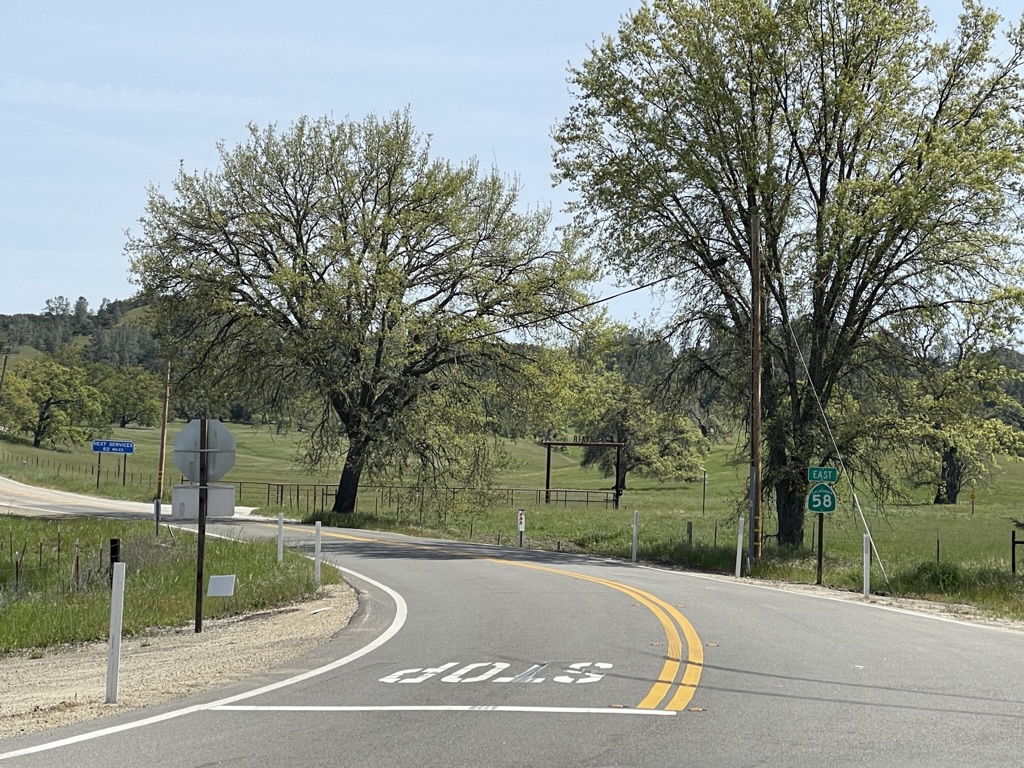
Homeward Bound Over Sonora Pass: Highway to Hell
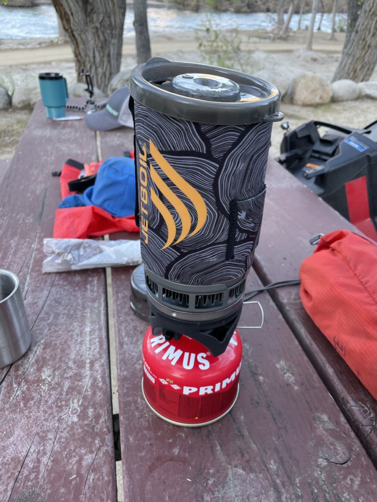
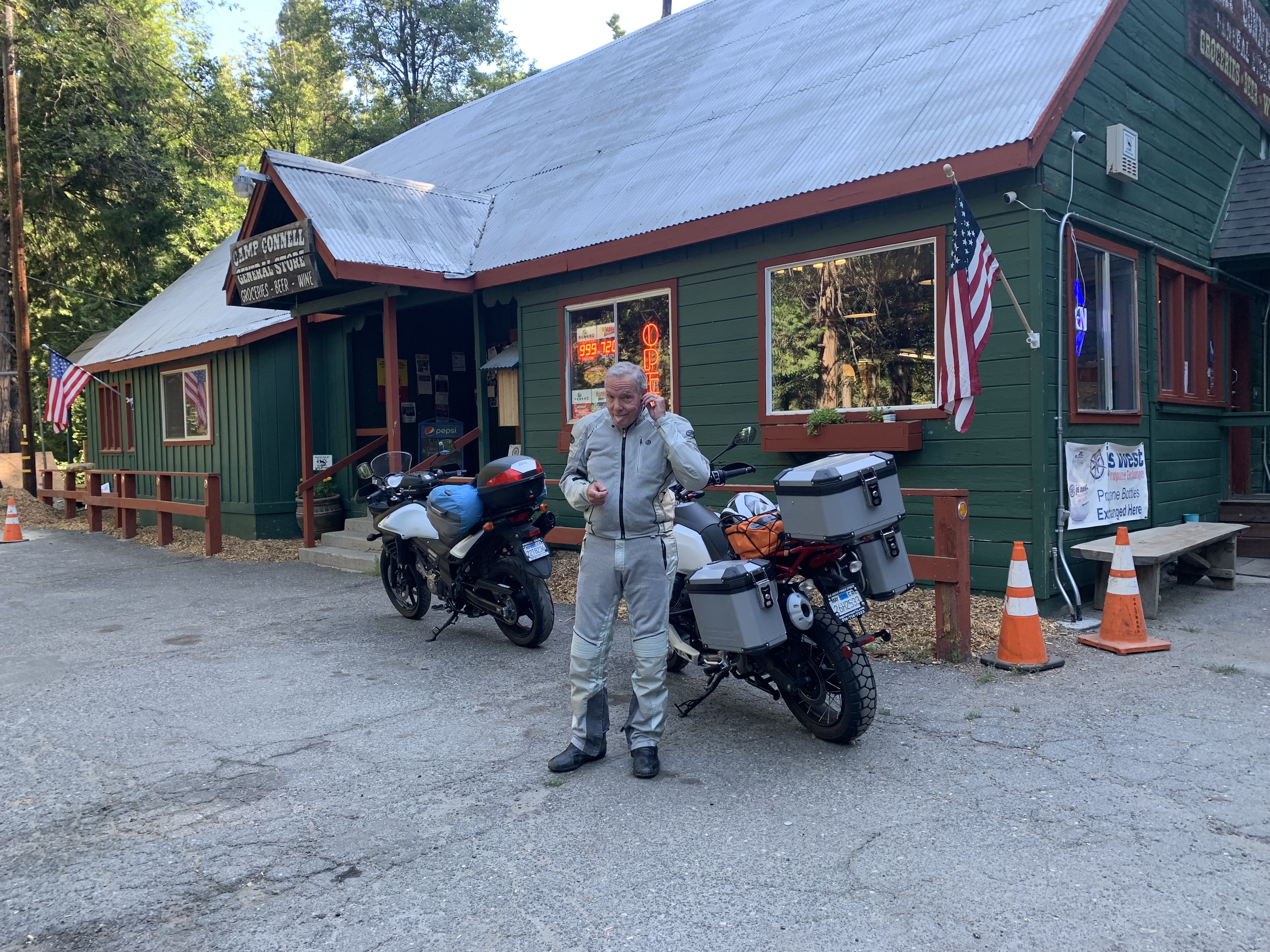
Awakening the following morning after cranking up the JetBoil for a quick mocha before breaking camp, we were faced with a dilemma. It would likely be cold, as in cold, at the beginning of our homeward bound leg over California’s second highest paved pass. It was a mere 19 miles to Sonora Junction at 6,919 ft. elev. where US-395 intersects with CA-108 over Sonora Pass (9,623 ft elev.). Here’s the dilemma: When would we begin to encounter the oppressive heat that was forecast for the day? Pete’s solution, let’s eat. So we made our way to the Bridgeport Inn for breakfast.

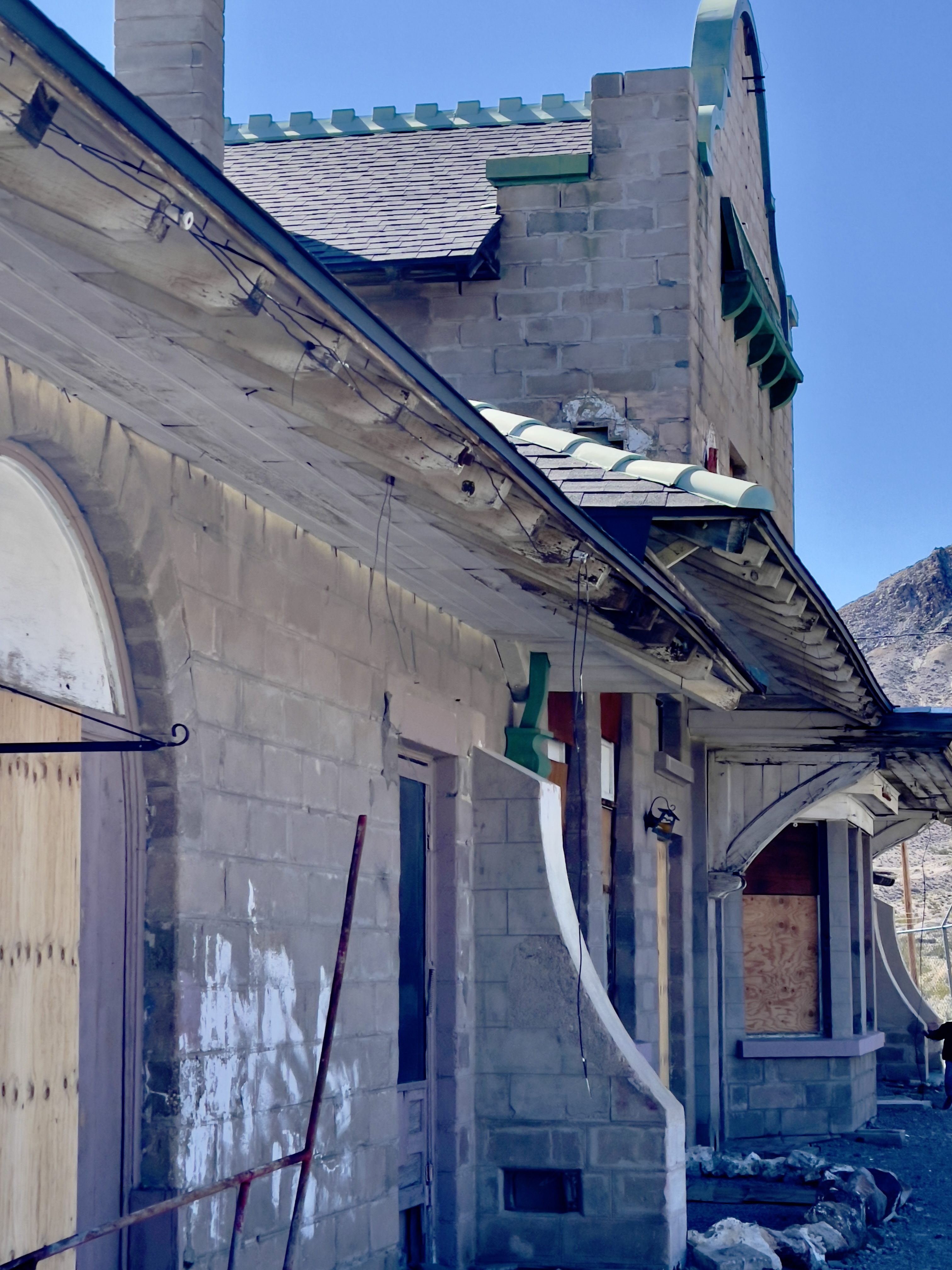
The Bridgeport Inn, a beautiful historic Victorian Inn, built in 1877
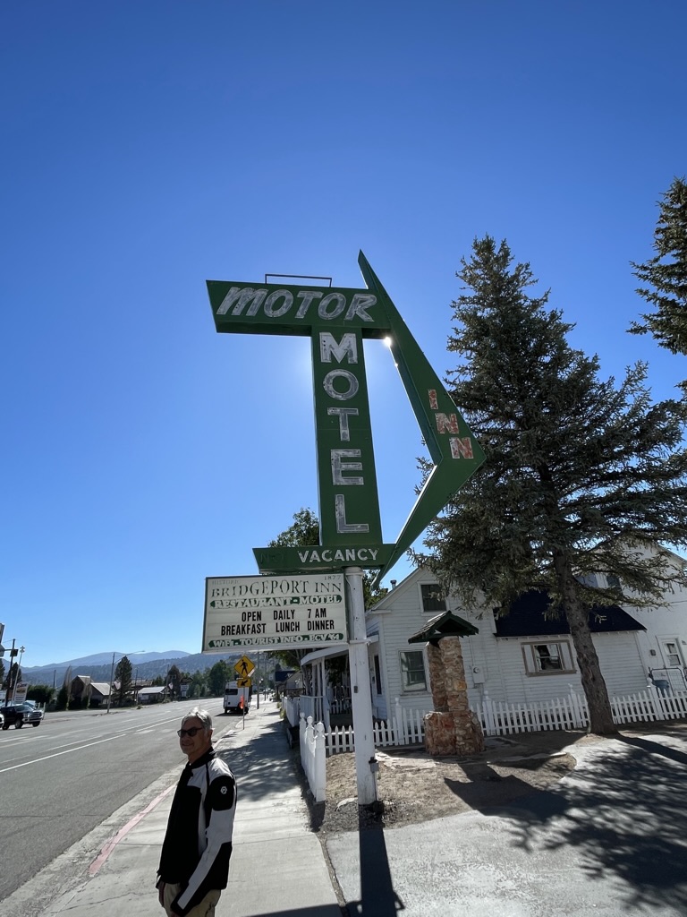
It’s not getting any cooler Pete, although you do look kinda cool…
The Inn has a quite fascinating history. Sometime after it’s construction in 1877 the Old Leavitt house became an Inn. The tragic story of Sarah, a young woman distraught by her fiancée’s accidental death a short time before their planned wedding, allegedly roams the Bridgeport Inn in Room 16. It was there, dressed in her white wedding gown, that she hung herself. We both ordered eggs, hash browns, and wheat toast, Pete’s eggs were over medium, mine over easy. https://thebridgeportinn.com/index.php/area-history/

Time to add a layer at the Sonora Junction
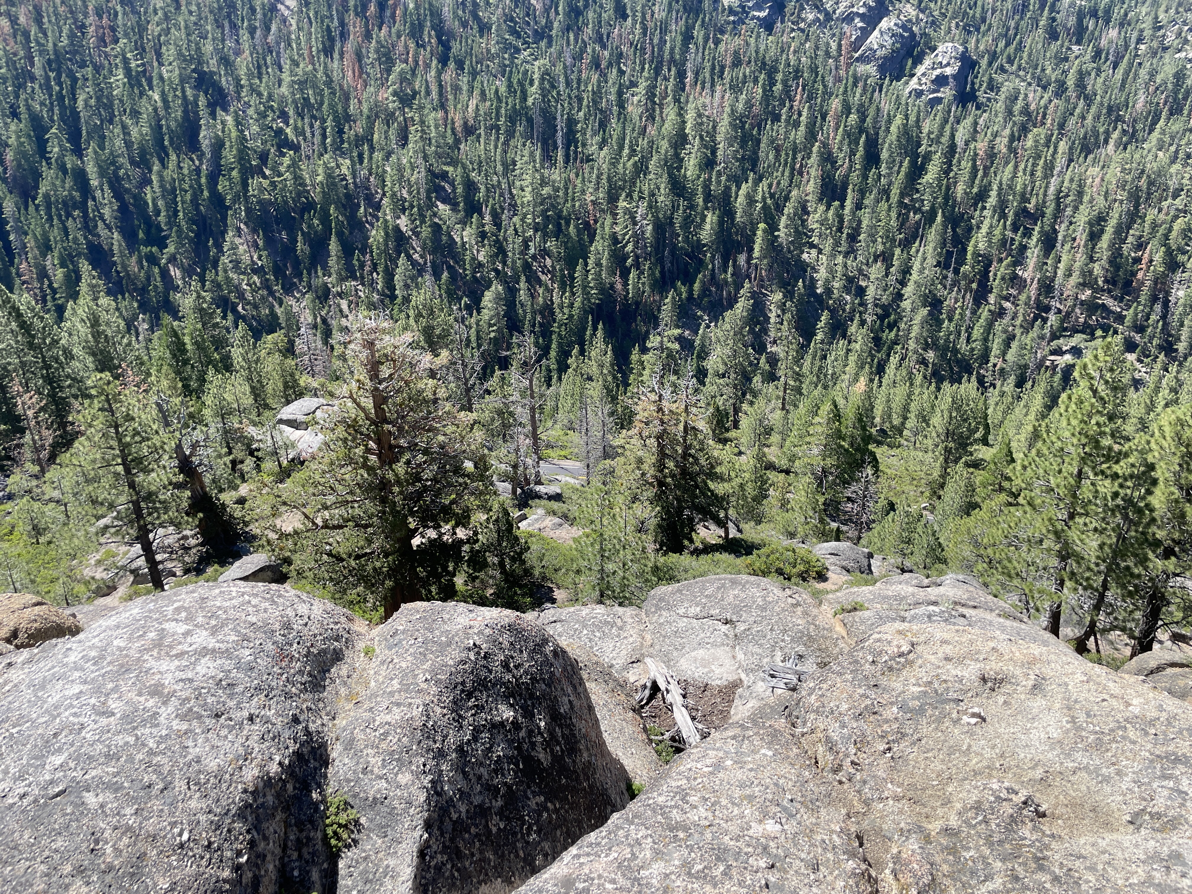
Sonora Pass from the East Side is gnarly. It is the second-highest pass with a paved road in California and in the Sierra Nevada. It is 321 feet lower than Tioga Pass to the south. State Route 108 traverses the pass, as does the Pacific Crest Trail. The highway over the pass is extremely steep (exceeding 8% for most of the traverse, and up to 26% grades in some locations), narrow and winding between Kennedy Meadows on the west side and Leavitt Meadows on the east.
Fortunately the pass had opened on June 9 and it was July 20, coincidentally the day that Tioga Pass opened, so traffic wasn’t too bad. I wrote about a section of the road and an unfortunate series of events on a pervious adventure. More luck than skill, I avoided a crash when I lost power to the rear wheel missing a downshift to first gear and stalling in neutral around a posted 10 mph hairpin. You can read about the harrowing event in the conclusion of our Utah tour featuring the Burr Canyon: https://sisyphusdw7.com/2020/10/21/burr-trail-here-we-come/


Keeping it low and slow
There’s nothing like following a travel trailer or motorhome on a two-lane double-yellow downhill road. The western slope isn’t as severe as the eastern approach. Slow though it was, especially on CA-108 from Twain Harte to the J-59 La Grange Rd exit, as vacation and truck traffic increased along with temperatures. That despite exposure to a 50 mph breeze on the bike which failed to cool us. It’s the inverse of the chill factor when riding exposed to cold where an increase in wind exaggerates the apparent cold. The heat factor causes one’s sweat to evaporate quickly, without the cooling effect of a more gentle breeze on the body’s cooling system. Now all I need to do if find where I stashed my cooling vest..

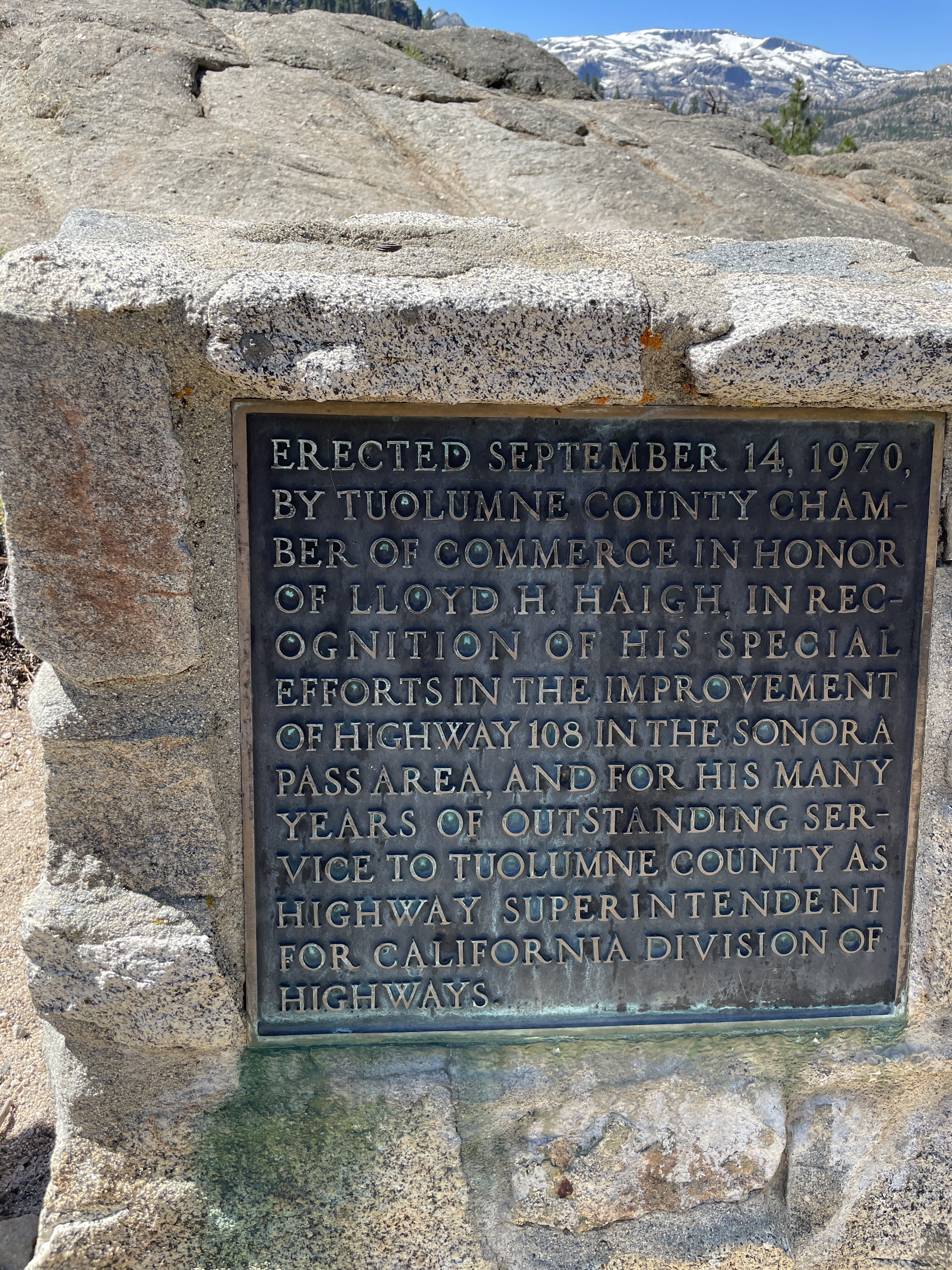


I guess we have Lloyd H. Haigh to thank for the route the the Clark-Skidmore Party didn’t enjoy; the two lane, double yellow, slow moving traffic, heat discomfort notwithstanding. After six or so hours we had returned to the air conditioned comfort of our homes, only slightly the worse for wear.
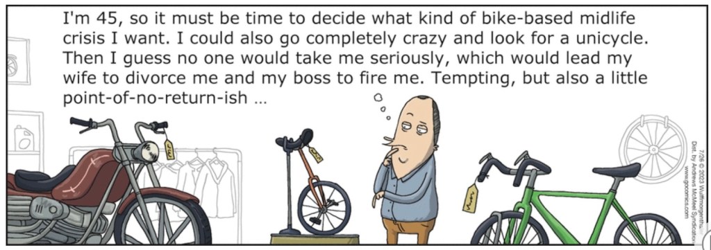
WuMo by Wulff and Morgenthaler
Fortunately at 45 I had opted to stay with the bicycle that I have ridden since a wee lad and which had never been crisis inducing. My sailing, skiing, kayaking, and backpacking phases, all considered good fortunes, are merely dormant. The moto was more of a retirement breakthrough than crisis or a phase for that matter. Though early in my campaign to get a moto, my wife did threaten to divorce me until I convinced her of my insured value. Until then I suspect most friends didn’t take my moto-lust seriously thinking there goes Tom again, Peter Panning. I never considered the unicycle and since I was retired, I couldn’t be fired. Crazy? Nah. Guys just want to have fun and documenting these adventures keeps me out of trouble…
“The day I keep my gratitude higher than my expectations, I have a very good day.” Ray Wylie Hubbard on attitude of gratitude.
By the way, message me if you’re interested in the Kawasexy:
2016 KAWASAKI VERSYS LT with ABS FOR SALE


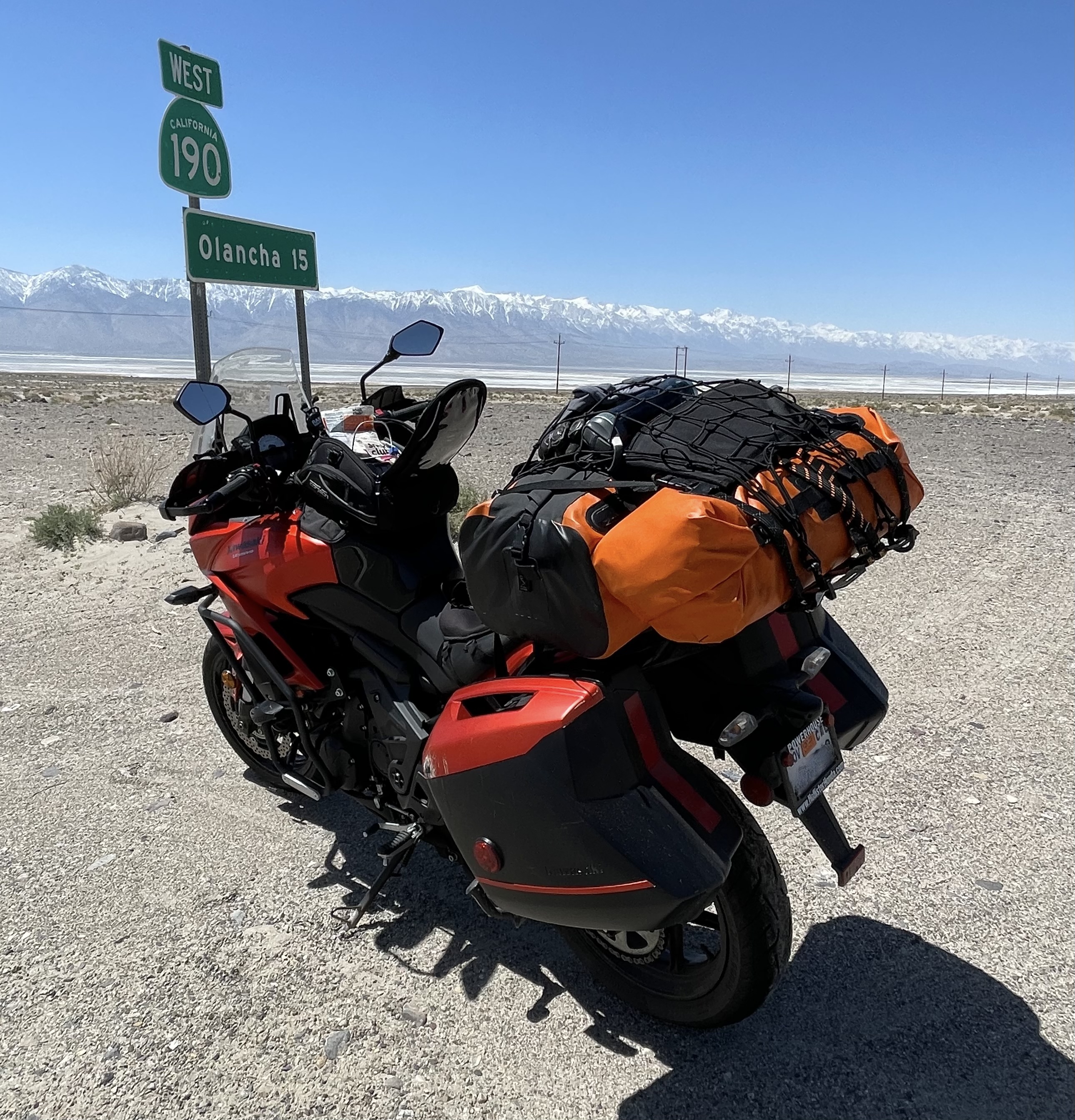
I’m the original owner of this KAWASAKI VERSYS 650 LT VIN# JKALEEF106DA13018, purchased in 2016, brand new at Hollister Powersports. I’m asking $4,200 for this like-new Versys LT with the following touring features: Its comfortable upright riding position on a comfortable saddle, adjustable windscreen, a 5.5 gallon tank averaging 50+ mpg, and adjustable long-travel front and rear suspension.
The Versys comes with its OEM side cases. I’ve added Oxford heated grips, a T-Rex engine guard and a T-Rex center stand, an SW-Motech Street Rack and Alu-Rack for additional dry bags, a Kaoko throttle lock, a Givi Rear Mudguard, and a Kawasaki Relay for a dual USB port. I will include the tank bag and tail bag as seen in the photos below.
The bike has 28,440 miles with a documented history of excellent maintenance. There are a few scratches on the cases and fairing as the bike has toured the Western US but as you can see, they are minor. It is in excellent mechanical condition. It’s nimble and sporty and not too heavy.
If you’re interested, please contact Sisyphus and Associates (me) at tjonesdw7@gmail.com or Sisyphusdw7.com ,