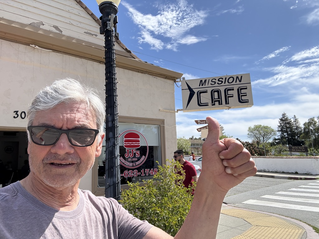
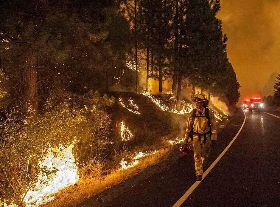
An August Ramble in the Sierra
Where, How Far, and When?

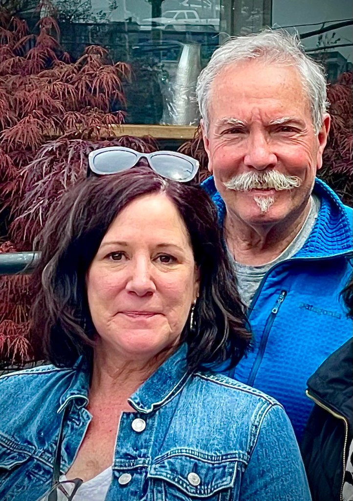
A recurring theme of Sisyphusdw7.com is place, distance, and time. There’s meeting people, too. Concerning the long form of this blog, I’m no Peter Egan. I admire Peter Egan as I admire John Steinbeck and Edward Abby. There are many others, (Wallace Stegner, Gerald Haslam, John McPhee, Bill Bryson) all of whom write of their observations of place, in time, often in travel, some fictionalized, that inspires this modest fellow’s aspirations for travel observation in my time.
While the clock and calendar cannot be denied, let’s see what Sisyphus is obsessed with these days now that there’s less of his future and more of his past.
What Determines Where and When We Ride?
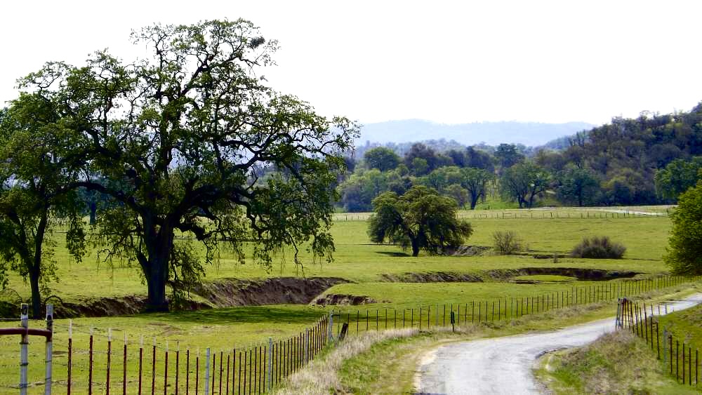
To move from one location to another, exposed as one is on a motorcycle, consideration of conditions within a region, the climate and the impact of geography determines where and when we ride. Particularly over the reach of our explorations in the Western States, the majority of which involve camping on these exploits I have reported in Sisyphusdw7.com.
Elements such as weather and climate, elevation and terrain, population and public and private land use, state boundaries and their individual laws and civic codes, and road surface conditions all combine to determine the routes we take. We find ourselves rambling through regions as our best guess to where, how far, and when these elements will combine to yield the best results for a memorable ramble.
How Far?
When considering how far we can travel, time is of course a huge determinant in the distance we can reasonably cover notwithstanding all of the other variables. Using a somewhat knotty calculation, I arrive at an itinerary that is far from certain given any of those variables noted above that one might encounter. Our motto: Start slow and then taper…
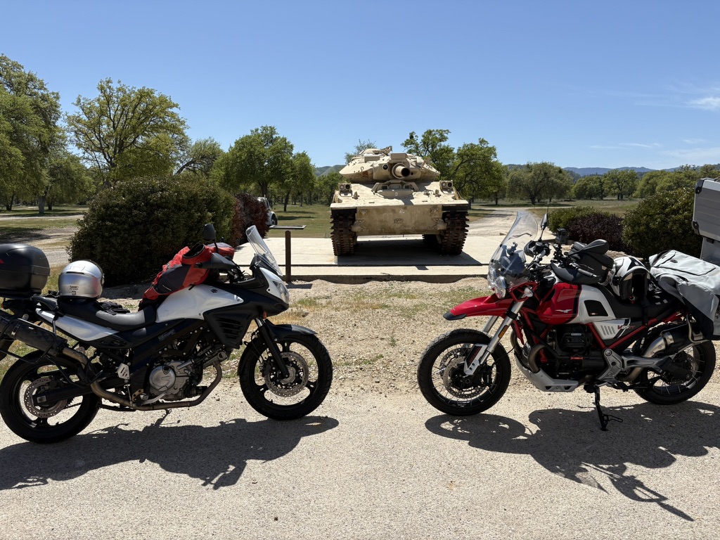
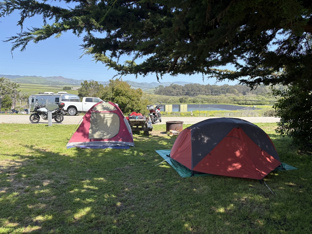
Of the three rides planned for 2025, two are at present, complete. The spring ride to Three State Parks, over five days in perfect weather along the central coast over good roads, with modest daily mileage, combined for a memorable ramble.
The most recent summer jaunt, the August Ramble in the Sierra, three days in the Sierra over rough backroads was, despite a challenging sand crossing on Kaiser Pass Road, aces.
More about that ride follows.
A longer, seven day Ramble in the Ruby’s slated for early/mid September in Northeastern Nevada is too far out at at this time I’m writing to have reliable weather forecasts, but the unreliable 15 day forecasts are looking good. So, it will be whether weather will determine where, how far, and because we’ve established when to roll, how this ramble in the Ruby’s will pan out.
For the longest time, we wanted to head north and east to explore the basin and range of Northern Nevada, perhaps Oregon, Idaho, Montana and Wyoming.

From your middle school math and science class, you may recall that Time = Distance / Speed. As the speed grows the time needed to travel a given distance will decrease and vice versa. Come on Sisyphus, that’s intuitive, why all of the equation stuff? I taught middle school kids for 24 of my 37 years as a teacher. I tried my best to impart the beauty of something that we take for granted, like time and motion, stripping it of the multitude of meanings to a simple formula that when applying a few data points, can lead to an irrefutable conclusion. You know, like “there’s less of his future and more of his past”.
Remember, one of the variables listed above was individual state laws and civic codes and speed is governed in California and generally enforced. In other words, enforced speed limits increase the time and reduce the speed and distance one can travel. Not to mention the vagaries of weather, influences of terrain, road surfaces, and availability of food, fuel, and lodging whether camping or moteling.

Whether the Weather
Long, lonesome, isolated desert roads are wonderful. Unless it’s 100+ degrees or a state trooper decides you’ve exceeded the speed limit. So, to travel at least near legal speeds, you really prefer cooler weather.
Crossing deserts is out at least until things cool down a bit. Hopefully our September 7th departure for the Ruby’s will see a heat regime that’s settling in over Nevada and much of the southwest, abate, at least a bit. That’s about as far as we can allocate the time to make the distance with a nod to how weather variables get a bit more active as fall approaches. Neither Sisyphus nor his associate are big fans of riding in hot, dry, and windy, or in cold, wet, and windy conditions.
We also have a life off the motos and that life defines the elasticity of the calendar. The week of September 7 through 13 works. We can’t make Montana or Wyoming, but Northeastern Nevada ain’t bad.
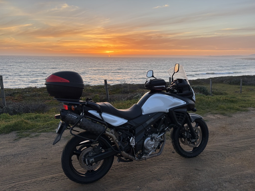
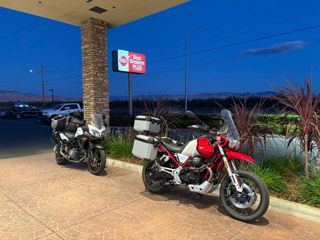
From the itinerary I prepared the week before we departed on our most recent ramble to Lake Thomas A. Edison and the narrative describing the events:
Chasing the Perseids, An August 2025 Ramble in Sierra
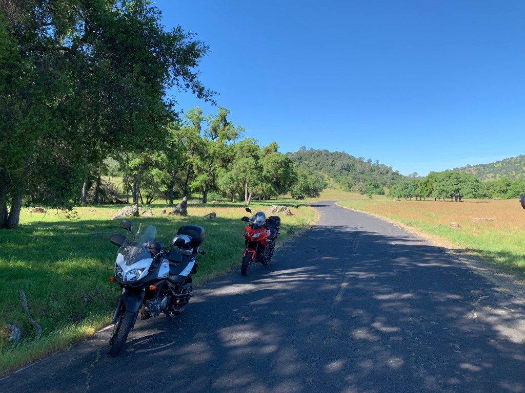
Day 1 – Merced to Lake Thomas Edison
Merced to Lake Edison ~141 miles
- CA-140 to Santa Fe Ave, Ave 26, and Rd 29.
- Rd 603, Rd.400 to CA-145 E, and Rd 206 to Friant.
- Millerton Rd, Auberry Rd to junction with CA-168 in Prather.
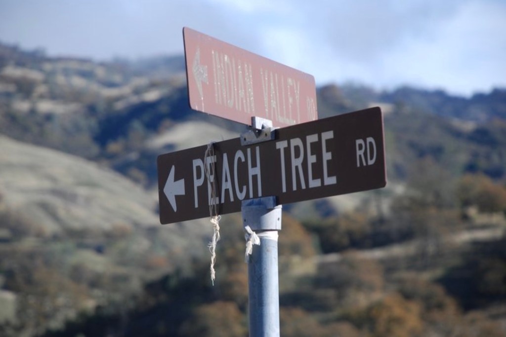
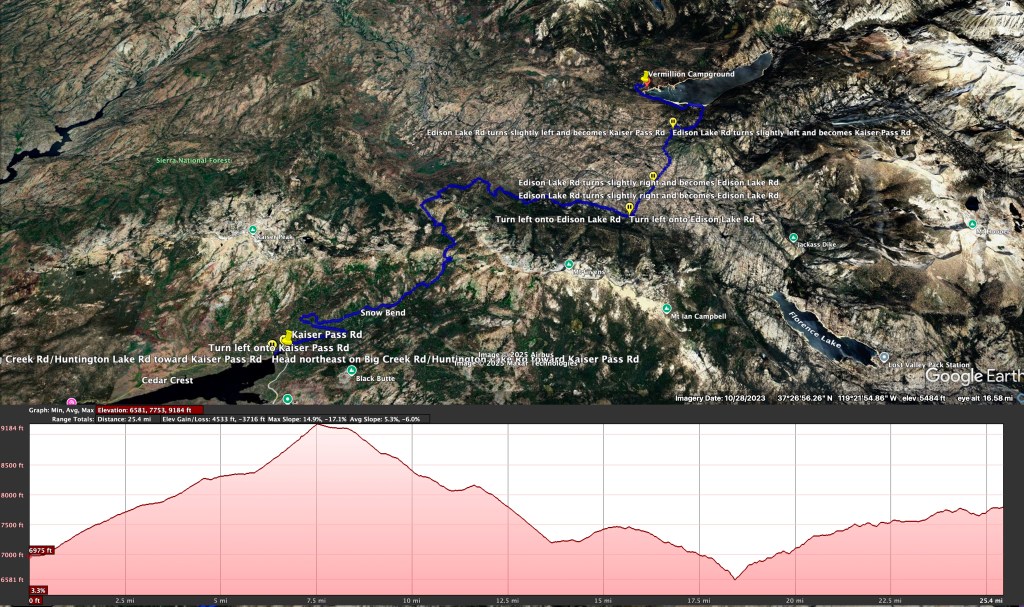
- CA-168, Kaiser Pass Rd, Edison Lake Rd to Vermillion Campground
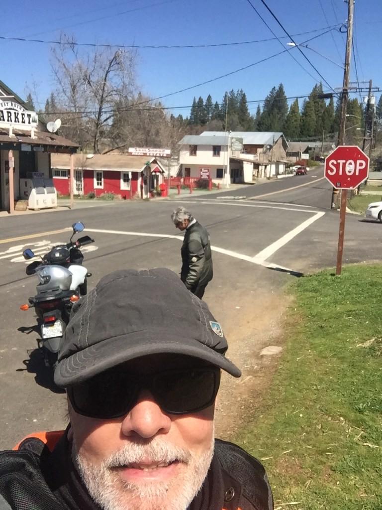
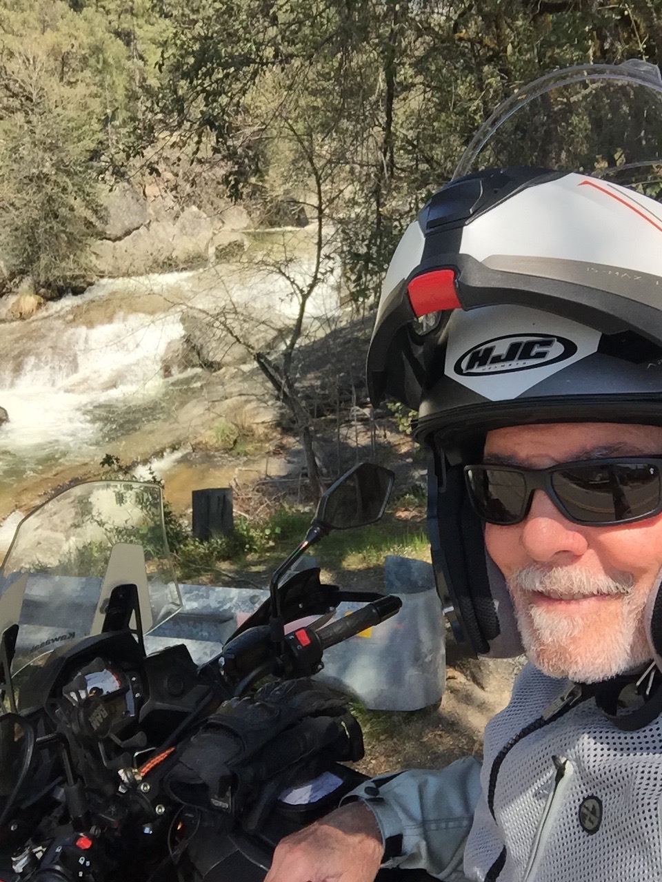
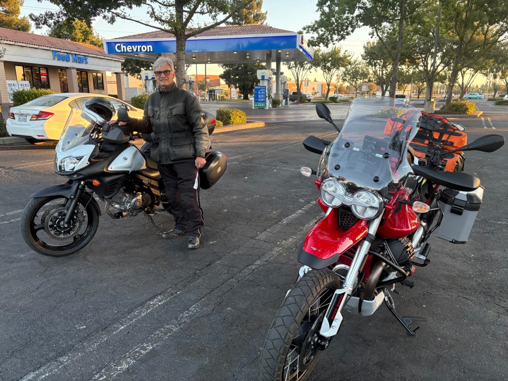
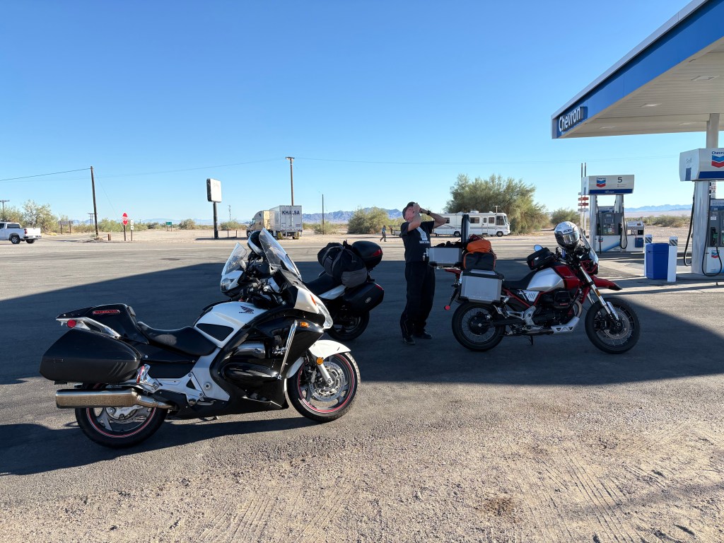
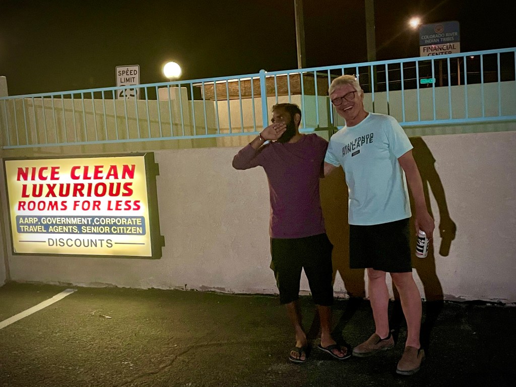
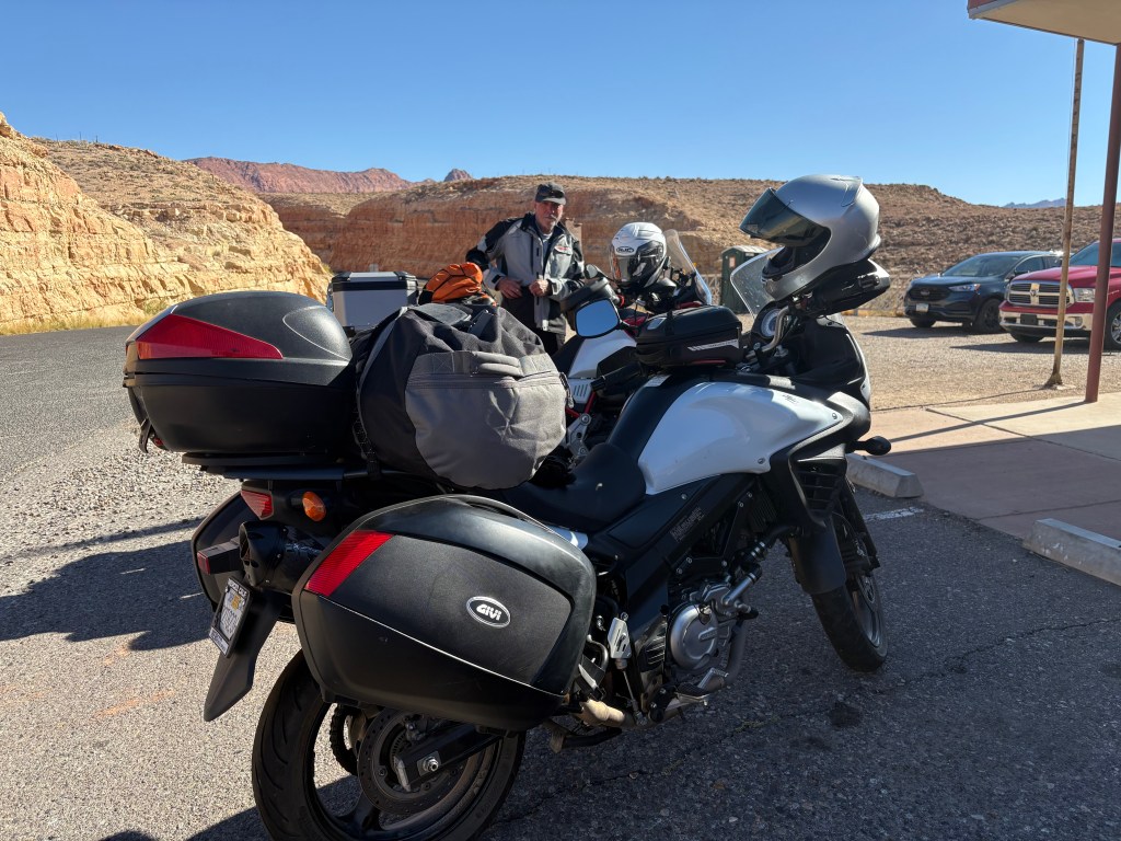
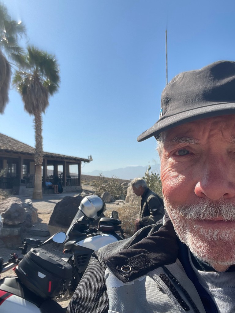
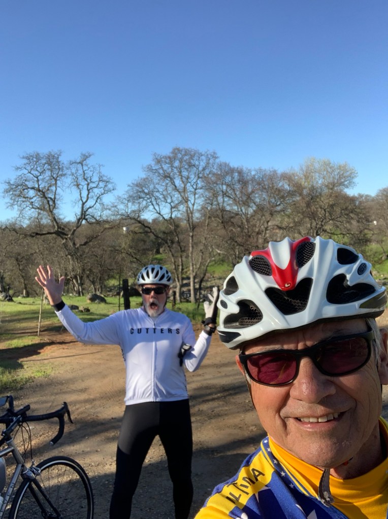
At 7:00 AM on Tuesday, August 12 we met at the Chevron station on Yosemite Ave. and G St. The temperature was a comfortable 60ish degrees. In between the outset of the ramble and our destination the temps ranged from 65 to around 100 degrees.
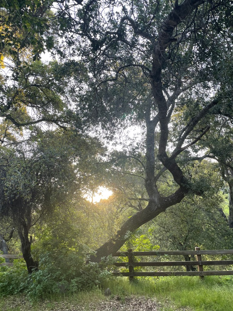
After a stop in Friant we enjoyed some cooling, in the shade. Exposed on CA-168, we reached some relief as elevation above Shaver Lake saw a twenty degree cooling. At Huntington Lake (6,665 ft), it was in the mid 80’s in the sun, but shade provided another 15 degrees 0f relief. Once on the final leg to Edison Lake, intermittent shade from the forest canopy alongside the road made for comfortable, yet slow progress on what would be a goat path to Edison.
By the time we reached even cooler temps, we had made it to Lake Thomas A. Edison, set up camp and began resting, rehydrating, and reflecting. In other words, it was mid/late afternoon. The breeze in the shade was delicious. The exposure to the sun, unrelenting until the sun began to set.
Remember T = D / S (Time equals Distance divided by Speed)? Mostly obeying the speed limits along the route from our home that morning to Huntington Lake, where one encounters Edison Lake Rd, aka goat path, was a distance of approximately 116 miles taking roughly 2.5 hours, or 2.5 = 116 / x, or an average speed of 46.4 mph (6th grade algebra). It seemed that there was a lot more rolling at 65 mph+, but speed limited zones and stopping to stretch and have a snack and some fluids will affect the average speed significantly. Something Google Maps doesn’t take into account when calculating arrival times.
The road to Edison Lake took roughly (literally a rough road) 1 hr. and 45 minutes to travel approximately 23 miles or, 1.78 = 23 / x, an average speed of 8 mph. Enough mathing already!

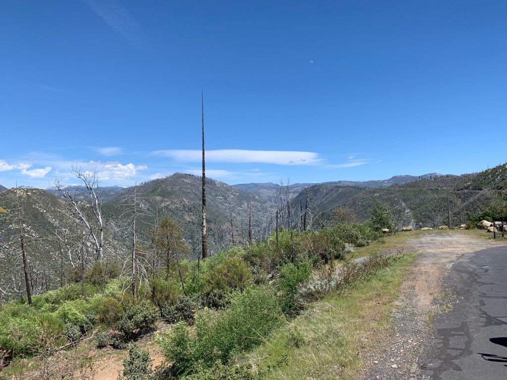
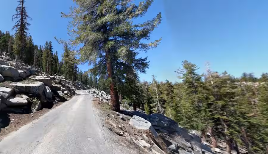
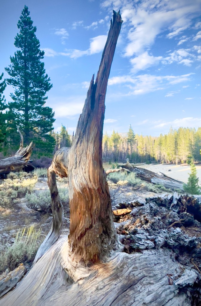
Kaiser Pass Rd is a single lane sometimes paved road to Edison Lake from Huntington Lake. The road hits a steep 12% gradient and feels like a goat path for most of its length: 1½ lanes at its widest, winding, exposed, and riddled with potholes and large missing segments of pavement. The road was built in the early 1920’s as part of the Southern California Edison’s Big Creek Hydroelectric Project, and opened up access to the remote High Sierra. After two years of building, the road was completed in 1922, it enabled vehicles to reach deep into the mountains, connecting critical water resources and creating new recreational opportunities.

The first 5 miles are over a relatively smooth two-lane road, but the final 12 miles narrows to a curvy, paved single lane limited to as slow as is possible on the pegs to keep a motorcycle erect to a max of 20 MPH.
Three sections have dramatic cliff exposure. The decaying sections are pot-holed and to describe as rough is charitable. There are sections where the road is covered by sand washed down from surrounding terrain. There are other sections that have recently been repaved. How the decision to repave was made is a mystery given the condition of the un-repaved sections.
Once past the Southern California Edison Portal Forebay and USFS High Sierra Ranger Station, the road narrows further and has many tight switchbacks with steep elevation gains; there are several blind curves carved out of the exposed granite with precipitous drop-offs opposite granite walls.
We met several vehicles, head-on, coming down as we were going up. Because we were a bit more nimble than the four wheeled vehicles, the majority of the cars and trucks we encountered were cautious and courteous, allowing us to pass safely.
There were however several folks who seemed to have no concept of yielding to allow our bikes to proceed. This, was you might imagine, stressful. I took to laying on the horn as we approached the blind switchbacks hoping that the speed and windows of approaching vehicles were rolled down and sound systems were turned down listening to Metallica by spirited motorists in off-road behemoths.
A First Encounter with the Gauntlett
Kaiser Pass Road is primarily paved, but there are some unpaved sections, especially as you approach the summit and beyond. The road can become rougher and narrower, particularly after the main summit area, where it transitions into a smaller track leading to Mono Hot Springs.

After passing several sandy sections of road beyond Mono Hot Springs, there was a slight descent on a stretch of mysterious, recently repaved surface. At the base of the descent, there was a section of about 30 feet of glacial sand washed over the road in what was likely deposited by a seasonal creek that flowed across the road. Other sandy sections proceeding this one were easily negotiated as the depth of the sand was an inch or so atop the pavement.
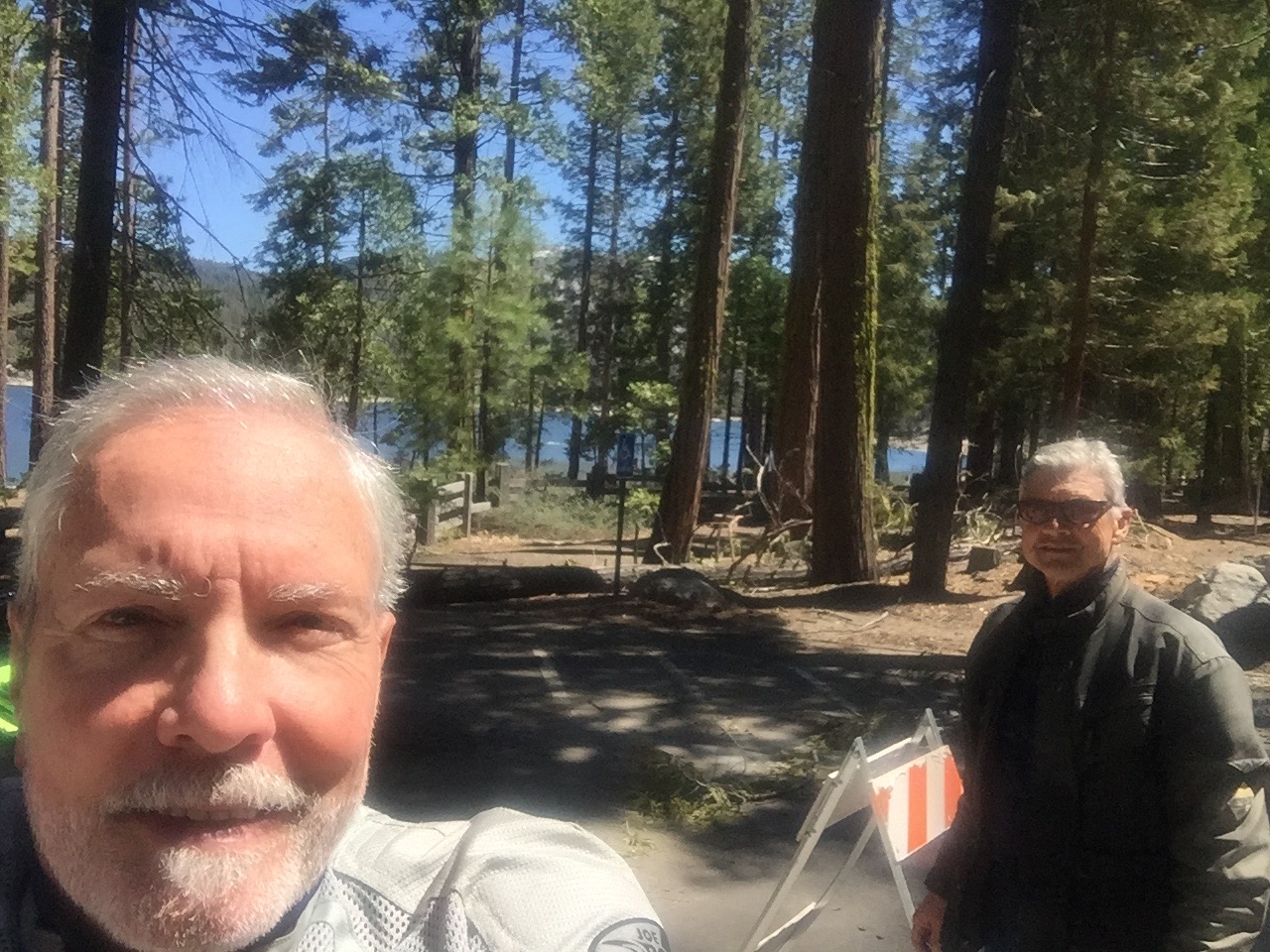
In the lead, I entered the sand cautiously, unaware of how deep it was. It was not long before I lost the front end of the bike and nearly dropped it. There were two tracks with berms in the middle and on either side. I heard Pete in the coms shouting, “I’m down,” behind me just as he entered the sand.
Since I was supporting some 600+ pounds of motorcycle and gear with my left leg, the bike at a 45 degree tilt, after asking Pete if he was okay, I implored him to make his way as quickly as possible to assist me righting the Moto Guzzi as my boot was slipping in the unstable sand. I didn’t want to drop the Guzzi.
Pete climbed from beneath his V-Strom and rushed over to me. We were able to get the bike upright and I made my way out of the sand, carefully clutching and reeving the Guzzi with Pete pushing me to stable pavement. I then threw down the kickstand to help Pete with his V-Strom that was lying on its side. About that time a good samaritan who earlier had pulled over allowing us to pass, stopped his car and helped us push Pete’s bike as he cautiously throttled, however, spinning the rear wheel in the soft grit. Grit that made its way to my face.
As usual, a malfunctioning GoPro I thought was capturing this leg of the ride wasn’t recording…
I found this short video on YouTube. It will give you an idea of what a portion of the Kaiser Pass Road looks like. Shout out to Alexander Avtanski for sharing.
Kaiser Pass Road by Alexander Avtanski
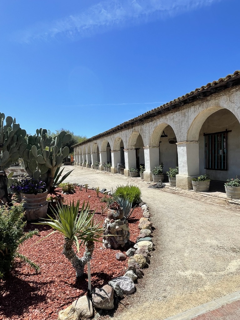
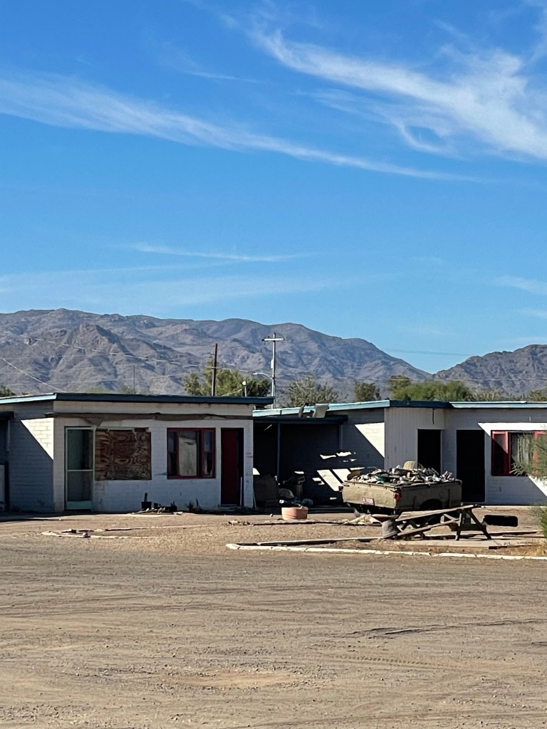
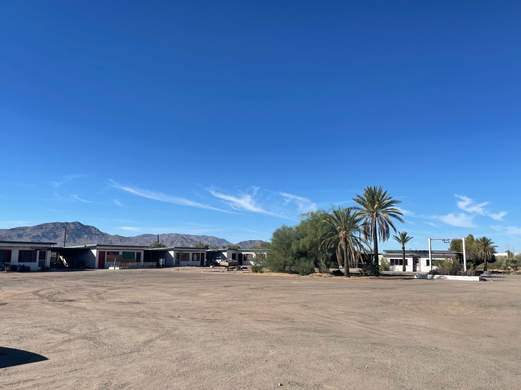
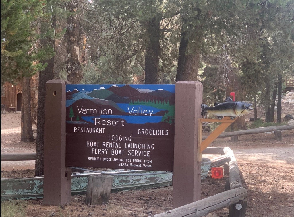
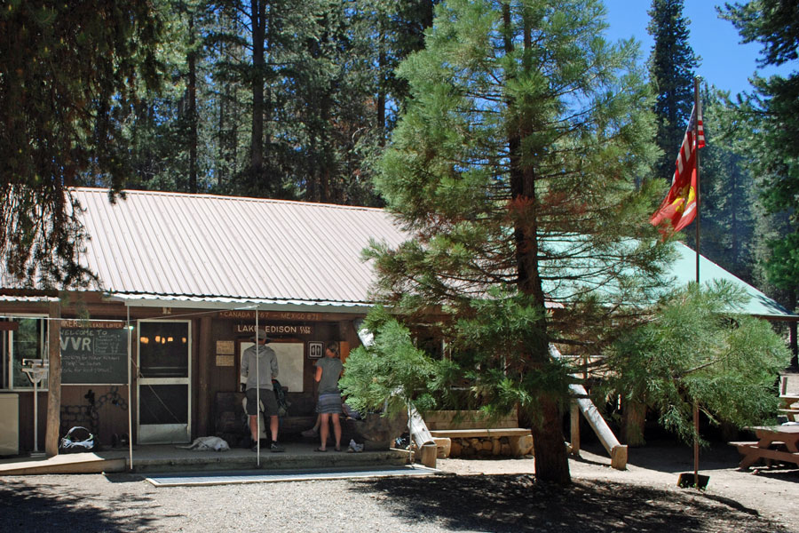
The Vermillion Valley Resort
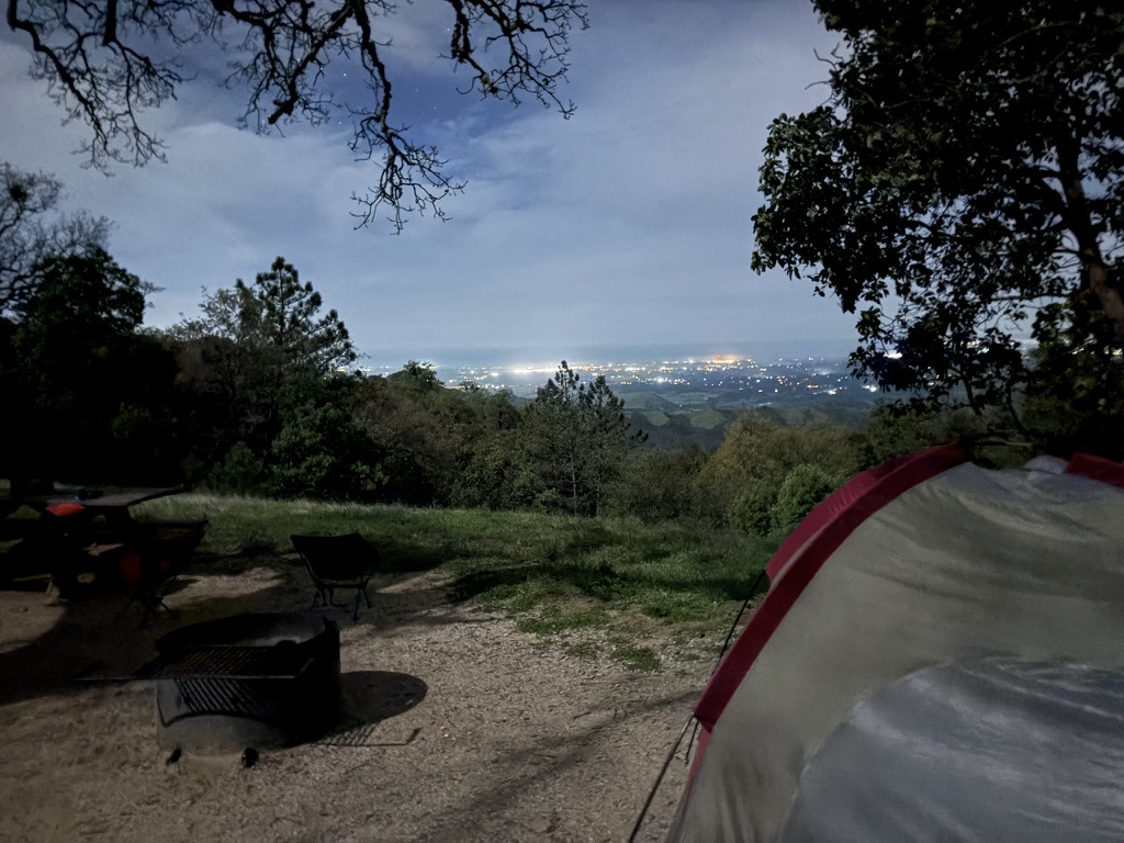
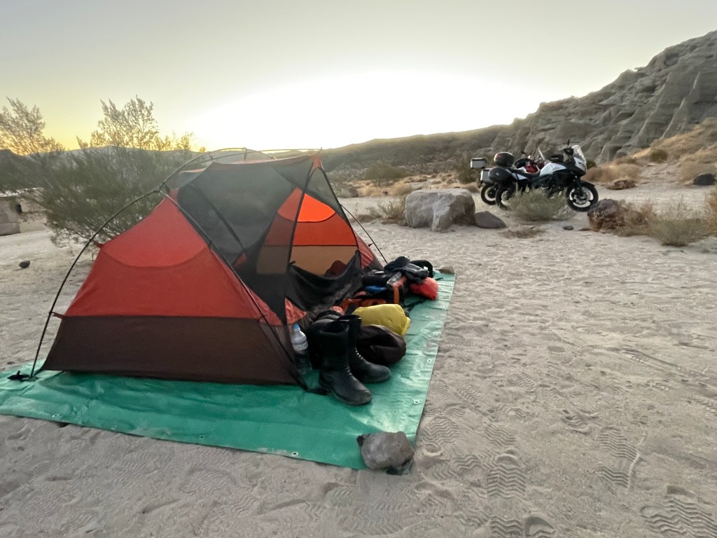
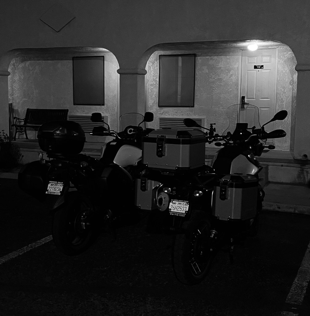
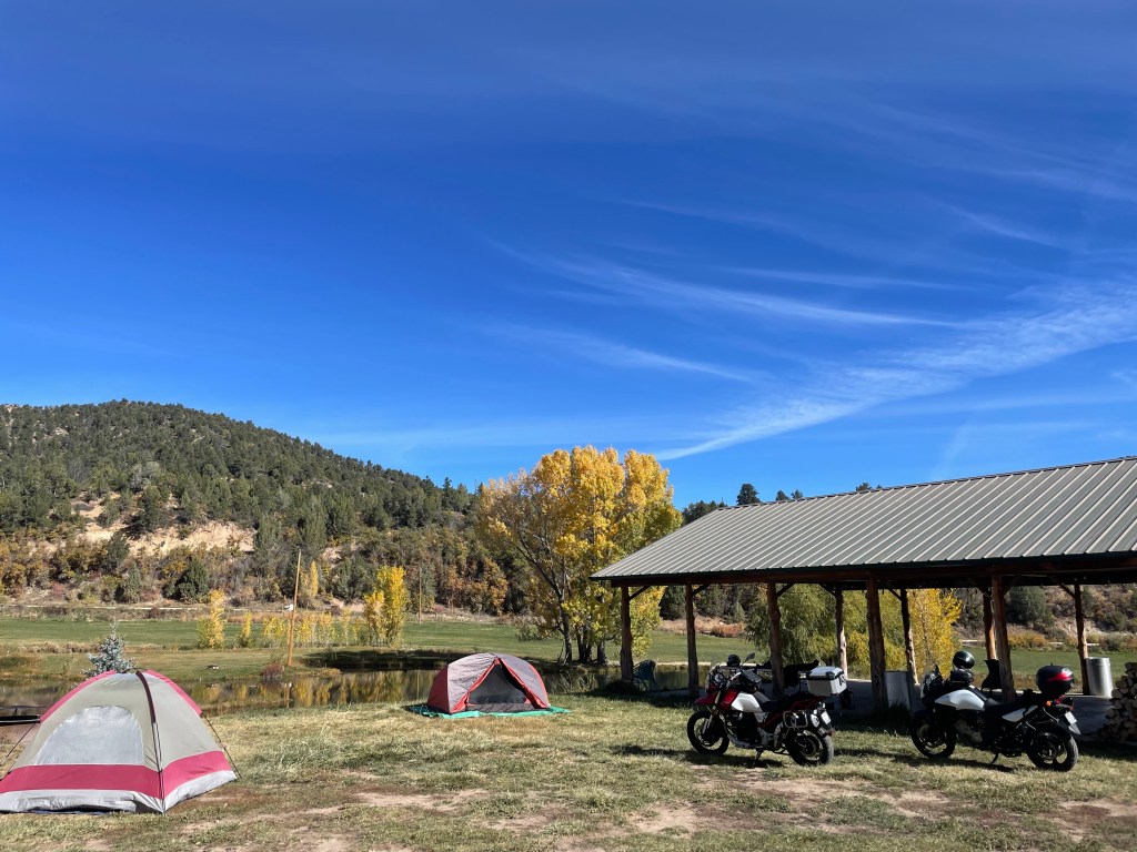
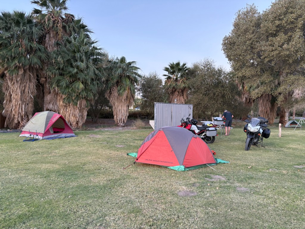
Arriving at the Vermillion Campground just above the VVR we found it was sparsely populated. Our campsite, selected over the interwebs, was like all of the other campsites, except Site 25 was completely exposed to the afternoon sun. Ideal for Perseid meteor watching, but a tad warm for setting up camp.
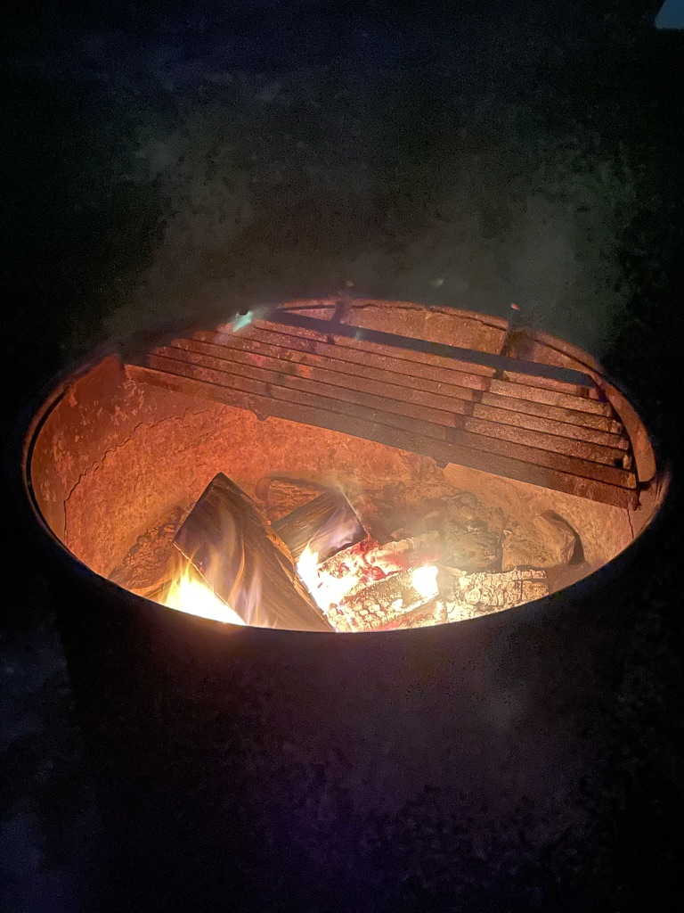
There was a small parking area, a table, a fire ring, a steel bear box, and a couple flat spots to pitch tents. Despite few occupied sites throughout the campground, there were tags indicating reservations of up to a two week span including and following our two night reservation.

We thought about poaching a shady campsite that was reserved for a period after we would be leaving. So we hiked back to the Camp Host, who was nowhere to be found, to share our intent. Deciding to not cause any confusion for the host as we would vacate our site spending the next day riding back to Mono Hot Springs then to Florence Lake to explore, we kept Site 25.

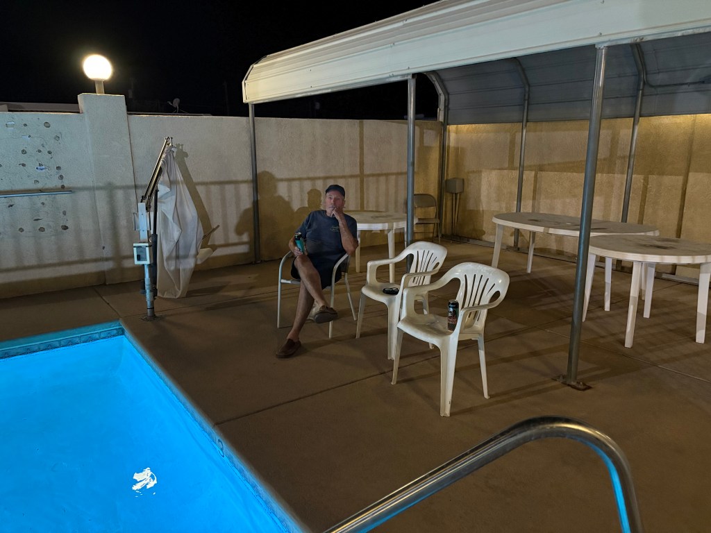
Since we were hunkered down for the afternoon we decided to stroll back to the Vermillion Resort to rehydrate, relax, and reflect on the day’s ups-and-downs and check out the dinner menu and beverage cooler.
From the National Geographic Sierra Nevada Geotourism page:
For those hungry hikers and campers, we [Vermillion Valley Resort] offer fresh baked pies and wholesome hearty meals at the restaurant which is open to both guests and the general public. The VVR Camp Store offers basic grocery supplies, hiker resupply foods and supplies, ice and fishing gear, t-shirts, maps & books. And, most importantly, we offer one of the largest selections of micro-brews and locally-brewed beers in the Sierra Nevada.
They had us on “largest selections.”
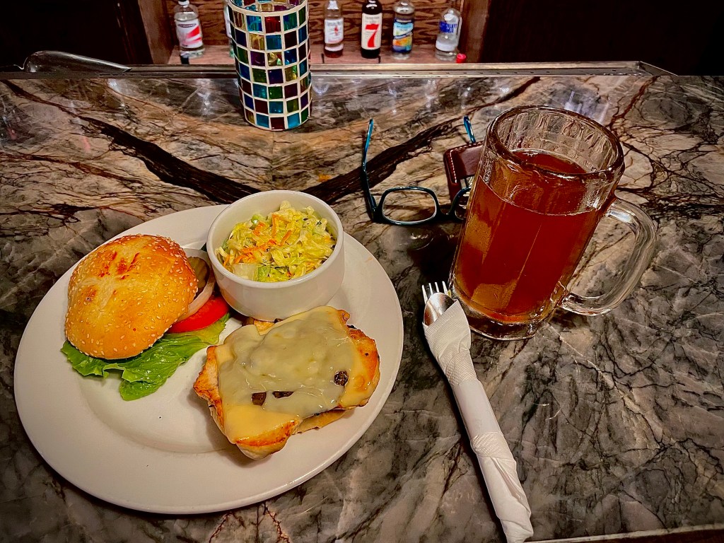
Dinner that night was a choice of spaghetti with a meat marinara or a tofu salad. There were micro and locally-brewed beers in this decidedly remote spot in the Sierra National Forest, miles from the equally limited services at Mono Hot Springs. Though the “largest selections” part was a bit of an exaggeration. We opted for the bisguetti.
Huntington Lake or Shaver Lake would have a greater variety of choices for mangia and beve, but the laws of supply and demand provided food and beverage at 7,600 feet at a cost one might associate with a Giant’s game at Oracle Park. The quality of the dinner was surprisingly satisfying.
The free backpacker’s campground in front of the store was chock full of hikers who were preparing to hike out, those who dropped off of the Muir or Pacific Crest trails to resupply, or posers pretending to be hikers for the free camp space, many of whom shared this night’s fare.
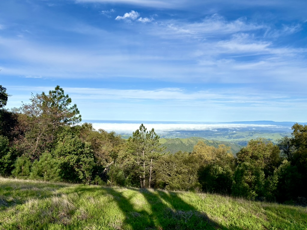
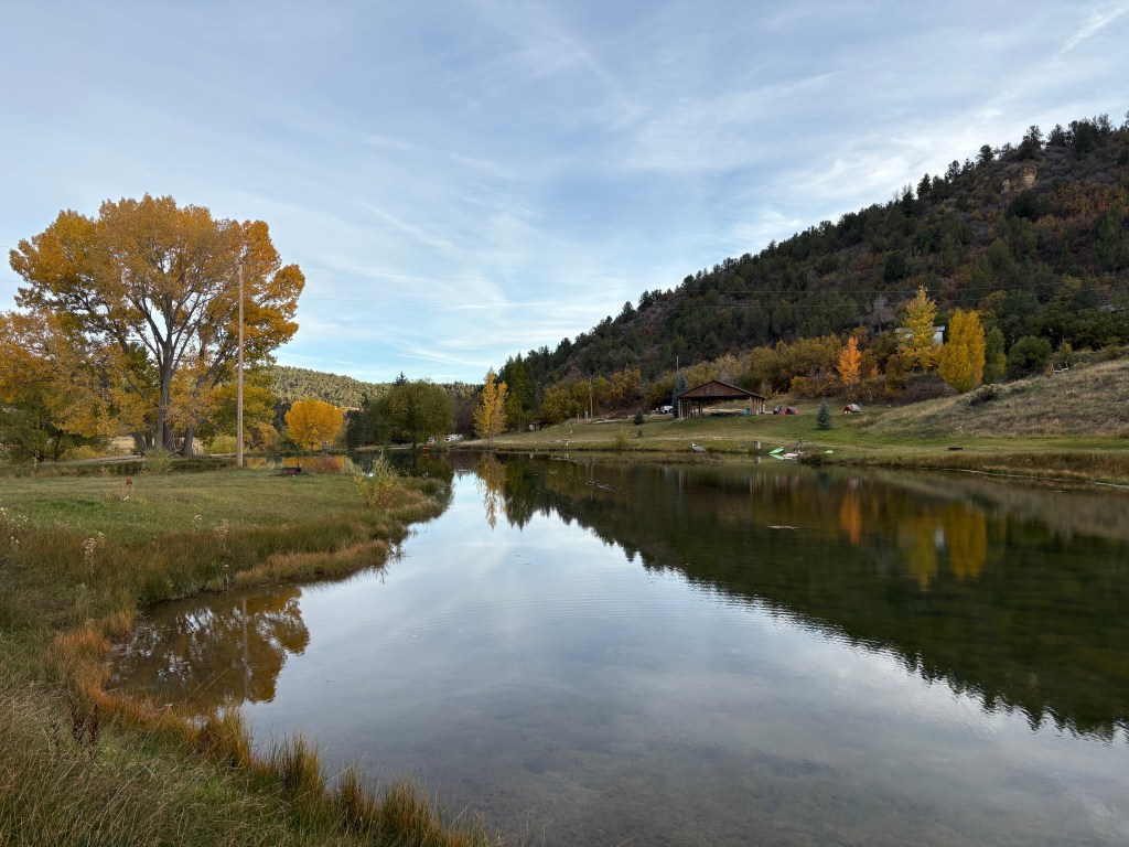
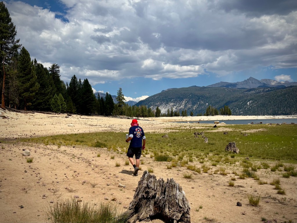
Lake Thomas A. Edison

The Vermillion Valley Resort (VVR) is at the trailhead to the Mono Recesses and is a resupply site for hikers on the Pacific Crest Trail. Lake Thomas A Edison (also known as Edison Lake) is a reservoir in the Sierra National Forest and in Fresno County, California.
The reservoir’s waters are impounded by Vermilion Valley Dam, which was completed in 1954, 71 years ago, (No need to subtract, I know this as I was born in 1954).
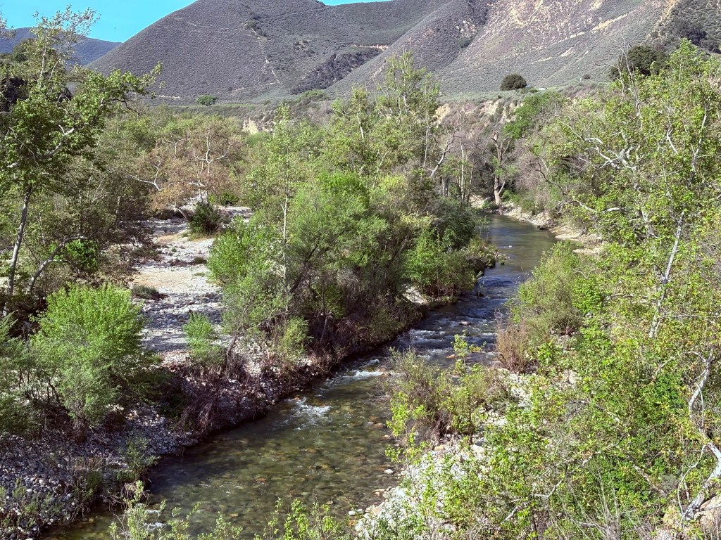
The reservoir and dam are part of the Big Creek Hydroelectric Project. The project is operated by Southern California Edison. The reservoir discharges into Mono Creek, a tributary of the South Fork San Joaquin River. However, some of its water is diverted to Huntington Lake by means of the Ward Tunnel that follows a section of the Edison Lake Road.
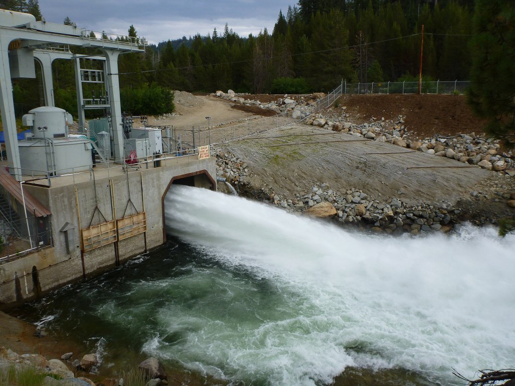
Today, these facilities include 27 dams, miles of tunnels, and 24 generating units in nine powerhouses with a total installed capacity of more than 1,000 megawatts. Its six major reservoirs have a combined storage capacity of more than 560,000 acre-feet (690,000 dam3). The waters of the San Joaquin River eventually find their way to the Central Valley to irrigate crops after providing recreation on those six major reservoirs.

The lake is three hours away by car from Fresno. Five hours away by motorcycle from Merced. The road in, CA-168, crosses Kaiser Pass (elevation 9,175 feet) and closes during the winter months.
A separate road off Kaiser Pass Rd forks off to Florence Lake. The United States Forest Service does not recommend Kaiser Pass Road for buses, large motor homes, or vehicles towing trailers. We were amazed at how the Mono Hot Springs and Edison Lake infrastructure was hauled up the hill on that narrow path the feds now recommend to avoid. I guess the railroad that was built into the area and since abandoned made for hauling the really big stuff.
A ferry crosses Lakes Edison and Florence twice a day that may be inactive due to extreme low levels of water providing travel service to/from the trailheads and can be arranged through Vermillion Valley Resort or the Florence Lake Resort when open.

Hikers may follow a trail along the north side of the lake for trail access, linking Vermilion Valley Resort with the John Muir Wilderness trailhead and providing access to and from the John Muir Trail and Pacific Crest Trail. I’ve used the ferry service at both lakes on a couple of backpacks. It was worth it, especially on the return leg.
Chasing the Perseids
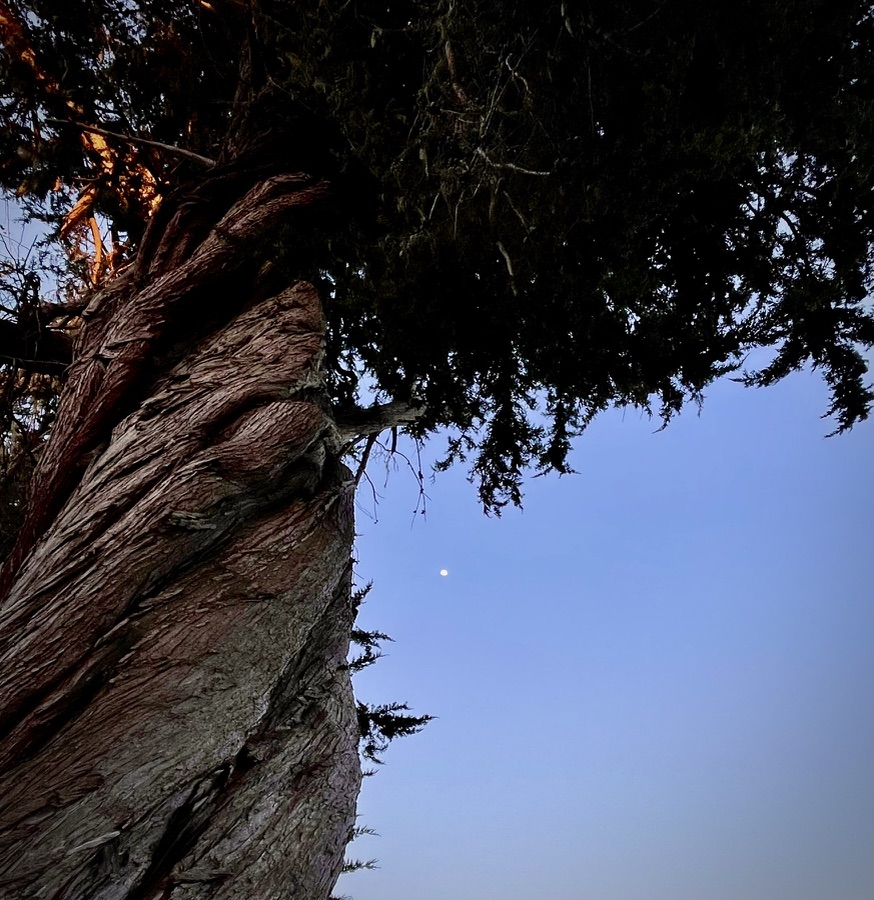
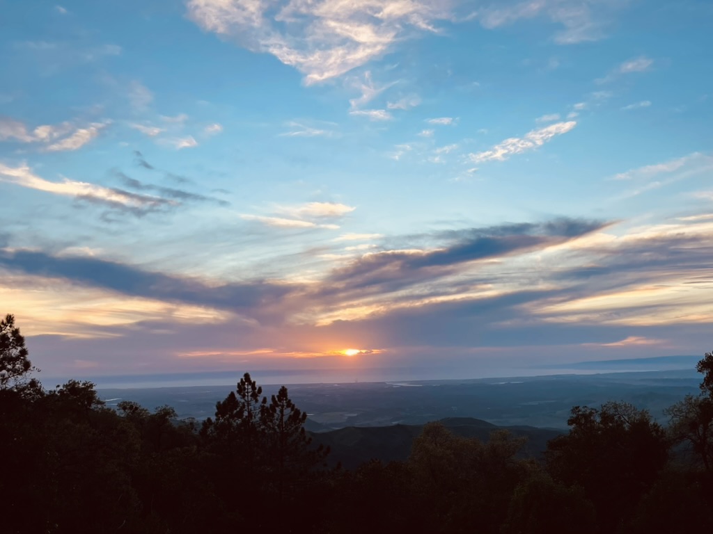
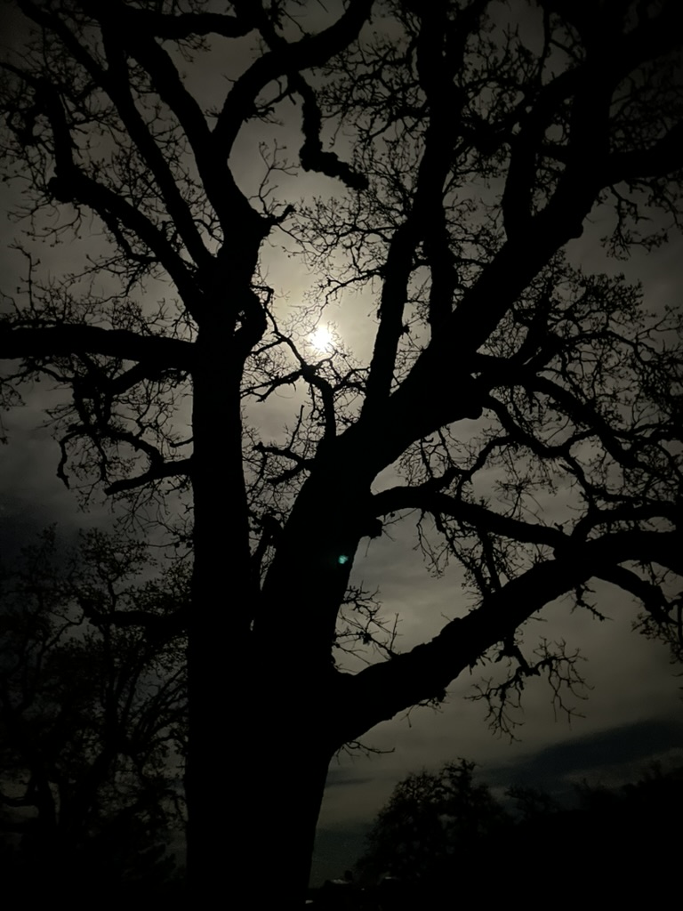
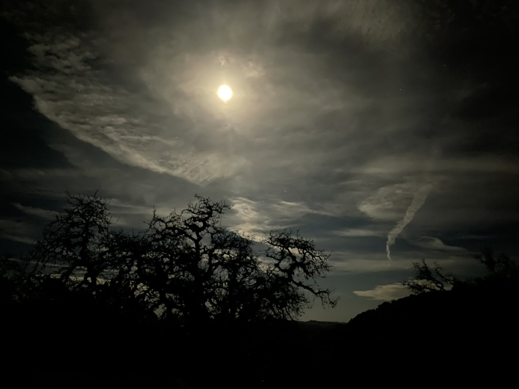
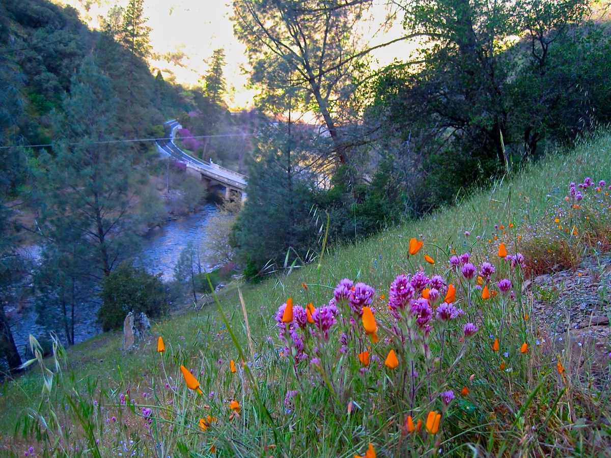
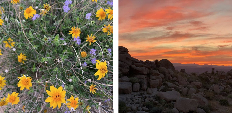
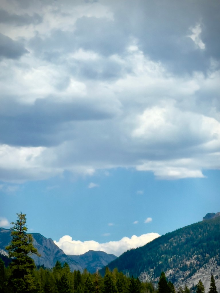
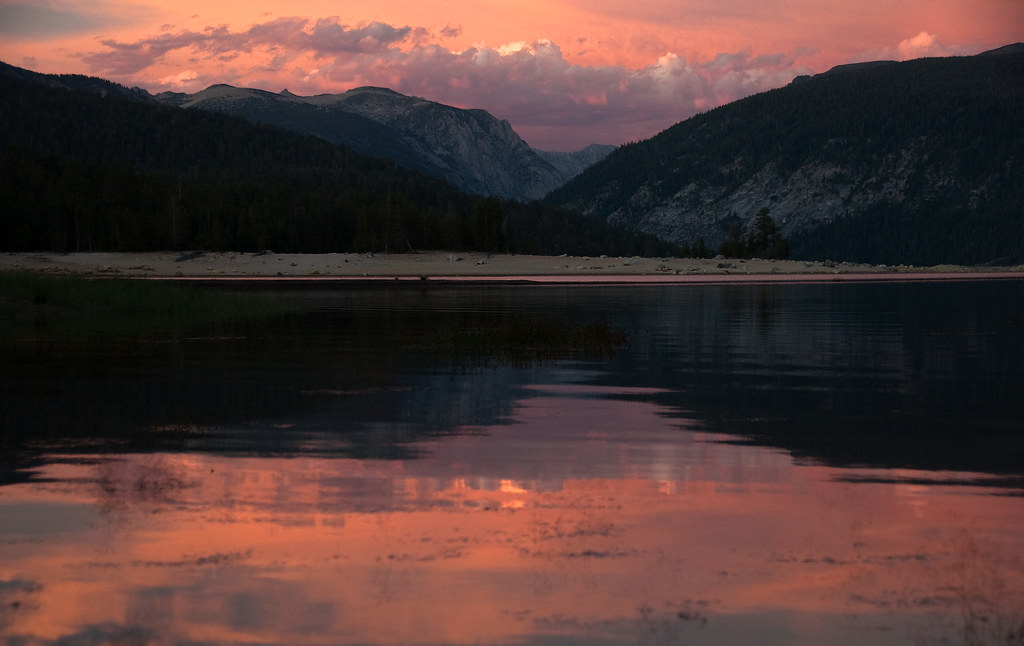
Since we were in the high Sierra during the annual peak Perseid meteor shower (See 2024 Perseid Meteor Shower last year’s trip to Bridgeport) we were prepared for a feast of streaking meteors as the skies darkened, at least until the waning crescent moon rose. It was a comfortable 60ish degrees as the sun began to set. Clouds that had been building since morning were now reflecting the light filtered by the atmosphere giving everything the alpenglow that is characteristic of sunrises and sunsets in the Sierra. We were pretty sure it wouldn’t rain and that the clouds would dissipate before prime viewing time.


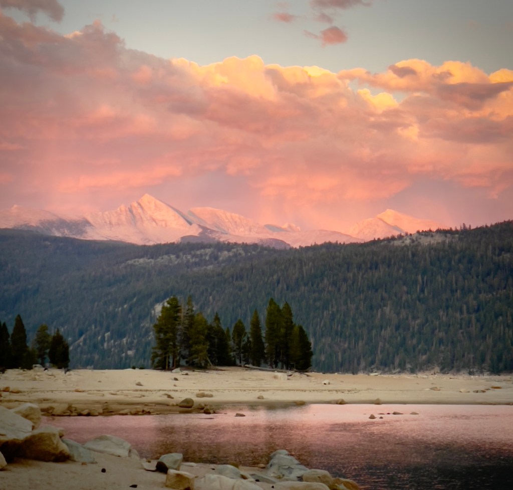
Clouds but no rain
As temps dipped into the fifties, we did see a few meteors along with many UAP’s (satellites and aircraft as usual) crossing the night sky against the backdrop of the Milky Way. Since we didn’t have a fire permit, there was no campfire to mesmerize us and after downing the last of our $12/can beverages, we retired with the intent of visiting Florence Lake after breakfast the next day at the Mono Hot Springs.
Day 2 – More Sand and a Change in Plans

We did a quick calculation of our fuel levels as we got underway Wednesday morning given that the closest gas, we assumed, was at Huntington Lake. We assumed, since on the previous day we saw vehicles refueling. To get to Florence Lake we had to travel 19 miles back up and down the goat path. To get back to Huntington Lake was another 28 miles of goat path. Fuel consumption at 10 mph over the undulating terrain was much less than the 45+ mpg we would normally get on flatter terrain.
Our plan was to have breakfast at the Mono Hot Springs Resort then head down to Huntington Lake for gas, just to be on the safe side. The restaurant wasn’t open, however, the cook was making breakfast burritos that were available at the Mono Hot Springs Store filled with a modest inventory of snacks, camping, hiking, and fishing supplies and T/sweatshirts. The store, not the burritos. Oh, and beer.
I asked the cashier what they did with all of the inventory in the store when winter closed the road and the resorts were emptied. She said they put non-food items in bins on the highest shelves and any perishable food items were taken down the hill. Non-perishable items were stored in a metal shipping container. Apparently flooding and bears are active during the winter months. Also there is no caretaker who stays for the winter. The store and restaurant are routinely broken into by hungry bears, like Yogi, in search of pick-e-nick baskets.

After a hearty breakfast burrito we began the descent to Huntington for gas. Once again we were faced with what Pete referred to as “The Gauntlet”, that sandy section of Kaiser Pass Rd we unsuccessfully encountered the day before.
We decided the best strategy was to slow down to a pace where we would “waddle” through the sand, keeping our feet down, essentially walking the bikes through the sand keeping handlebars straight and with a steady throttle.
Pete went first successfully making his way across. I entered and about two thirds of the way through, I crossed from the left wheel track left by four-wheeled vehicles, hitting the center berm and dropped the Guzzi, my right arm tucked into my ribs, as the weight of the bike pressed me into the right wheel track berm. Though the bike was lighter since I ditched the two side cans, it was nevertheless, OUCH!
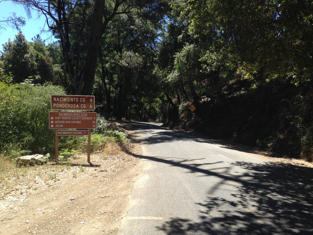
I was immediately reminded of A Moment’s Inattention where in 2022 I broke my right ankle, three ribs, and injured my right shoulder missing the apex of a tight hairpin low speed curve. Fortunately the sand was much more forgiving than the roadside near Lake Nacimiento and my speed was essentially zero.

I did feel pain in my ribs, but the adrenaline was flowing and after righting the bike, we made our way to Huntington Lake only to find that the gas pump that was operational the day before when we stopped at the China Peak Landing was shut down. Our only option was to ride some 26 more miles down to Shaver Lake for gas. Bummer Batman!
Since it was noonish by the time we made it to Shaver Lake, we topped-off our tanks. What? I had two gallons left in my 5.5+ gallon tank even though the fuel indicator on the TFT said I had less than 60 miles left in the tank… Pete decided to grab slightly less expensive beverages for the evening rest, rehydration, and reflection meteor sighting session to make amends.
Upon our return to camp the Gauntlet was approached for a third, with even greater caution, time. I led waddling my bike, step-by-step, straight as an arrow in the right side wheel track, successfully crossing as did Pete who followed. Too bad it took two failed efforts to figure out the key to deep sand crossings.
Dinner back at the VVR was chicken parm or a tofu wrap. The carnivores opted for the parm. The way dinner worked was when a bell was rung, you scurried to the register to give your name and dinner selection. Then, after maybe a 20 or so minute wait, the chef would shout your name from the kitchen. We enjoyed modestly priced Miller High Lifes (Lives?) at $5 each as we patiently waited enjoying the rhythms of the VVR.
There is an internet hub at the resort with several charging towers and for a fee, starting at $10 dollars for two hours of service. Needless to say there was nothing on Netflix that either Pete nor I wished not to miss. Nothing, nor, not? A triple negative?
After witnessing a finger-into-the-chest, ass-chewing by one of the VVR staff ostensibly over an alleged graffitiing of the rest/shower room by one of the blokes in the interned shed, who needed the contrived drama of a Netflix flick? We saved $10 staying off-grid, enough for two more Millers, but opted for two Arrogant Bastards. That put us $12 in the red. But mom, the magic beans were at least equivalent in value to the cow if not more valuable.
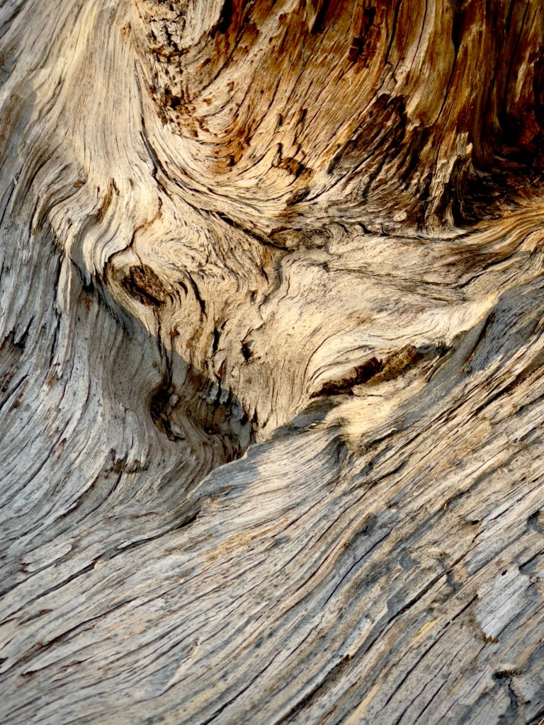


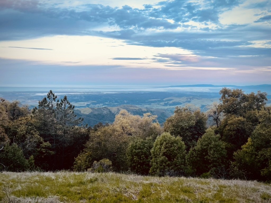
Random sights along the shore of Lake Thomas A. Edison
The meteors and UAP’s were pretty much the same as the night before. A mom and three-year-old daughter on a Strider bike whose family arrived after dark the night before to an adjacent campsite, were enjoying a little romp around the campground road.
The three year old was fearless as she descended a gentle slope back to their campsite. Mom commented that her fearlessness was likely the result of their neighbor’s young boys who had built a modest BMX course in there front yard back home. Apparently the little girl joins them on her strider attacking the jumps with gusto. I speculated to mom that a moto may be in her little one’s future. Mom cringed…
At around the time the generator at the VVR shut down at 10:00 pm, we decided to retire since tomorrow we would break camp and return home with the prospect of one more crossing of the Gauntlet to shape our dreams.
Day 3 – The Myth of the Gauntlet
Florence Lake Home ~156 miles
- Via Ca-168 to Auberry and Powerhouse Rd., Rd-222, to Northfork Rd., to Rd-221, to Teafords Saddle Rd., to Crane Valley Rd., to Rd-226 to Oakhurst.
- CA-4-/49 to Mariposa, CA-140 home.
After a decent night’s sleep except for some rib irritation, breaking camp proceeded, fueled by JetBoiled cafe mochas; Roughing it as it’s known in the post Mark Twain West.
We toyed with the idea of going to Florence Lake (El 7,300 ft) but the Florence Lake Resort, even more spartan than the VVR, was closed. We figured that the road to Florence Lake was likely less maintained than the road to Edison Lake and decided to skip the trip, opting to make our way down the hill before the afternoon heat would make the final 95 mile slog home unbearable.
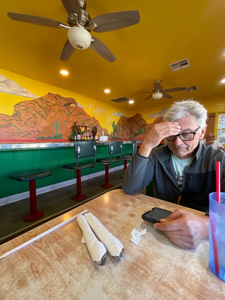
When we arrived in Shaver Lake, we had a bite to eat at The Hungry Hut. A buuuurger for Pete and a BLT for me. Tasty.

The ride from Shaver on CA-168 was thrilling since riding at or near the speed limit was different, in fact exhilarating, from the limit to speed imposed by the goat paths we’d been on for a couple of days.
After a quick stop in Friant to enjoy a beverage and soak our evaporative cooling vests, we tackled the dry and dusty foothills and flats of the valley. The thing about a cooling vest is that while it does serve to provide the sensation of cooling, it is much like the swamp coolers of my youth. The cooling is tempered by the clammy humidity the vest generates under the mesh jacket. But it beats the feeling of being in an air-fryer.
When I arrived home and pulled into my driveway, the temperature gauge on the Guzzi indicated 99 degrees. And just like that, a warm greeting from SoBe and a cool shower buttoned-up another memorable ramble by SisyphusDW7 and his Associate, Pete.
Cheers!


Coming up on Sisyphusdw7.com, The Ramble in the Ruby’s