April 7 – 12


“A journey of a thousand miles begins with a single step” is a common saying that originated from a Chinese proverb. The quotation is from Chapter 64 of the Dao De Jing ascribed to Laozi, although it is also erroneously ascribed to his contemporary Confucius. (Thanks Wiki…)
This saying teaches that even the longest and most difficult ventures have a starting point; something which begins with one first step.
This spring’s first step took place as the holidays (Thanksgiving and Christmas, 2023) following Austin Bound, Austin Nevada That Is, launched me into planning our next winter/spring desert adventure. Winter’s heavy snowpack was still blocking the familiar Ebbitts, CA-4/Monitor, CA-78, Sonora, CA-108, Tioga, CA-120, and Sherman Pass Rd, Forest Rte 22S05, all passes we’ve taken from our home in the Central Valley of California to cross the mighty Sierra. Late winter/early spring storms threatened closing our more familiar southern routes including Alta Sierra, CA-155, and Walker Pas, CA-178. Tehachapi, CA-58 would only be considered in desperation to avoid defeat.
Timing, as they say, was everything. Variables informing my route planning included setting a week’s worth of time for a journey of a thousand miles with calendar approvals from the invitees, a cautious eye to 15 day weather forecasts, securing what has become the nuisance of a campsite reservation (given our age induced entitlement, we don’t boondock), and deciding what new features of riding, camping, and repeating would make this spring trip to the Mojave different from those of the past.
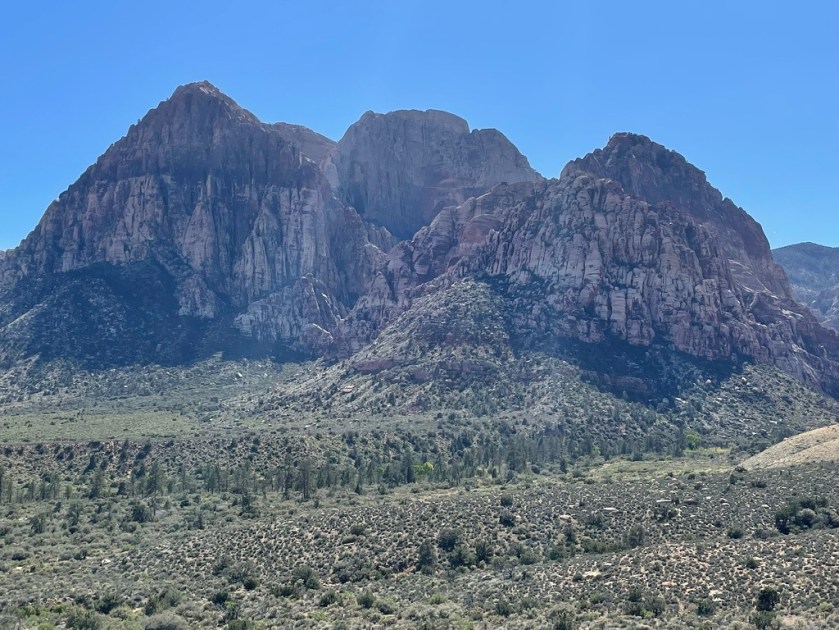
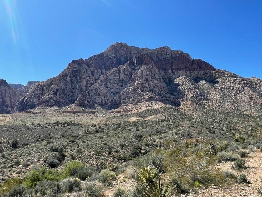
I’ve always wanted to compare California’s Red Rock Canyon State Park to Nevada’s Red Rock Canyon National Conservation Area. Note that there are “Red Rock Canyons” in California, Nevada, Arizona, Colorado, Utah, perhaps multiple-named features in each state and probably anywhere else there’s oxidized iron in the soil through which a river once flowed. Laozi would be proud of narrowing the scope of our journey of a thousand miles to just two red rock canyons in two states.
This tour’s invitees included Pete and Andy. Pete was “from-the-get-go” a go after prodding him to actually look at a calendar and check in with his partner Cheryl to clear seven days. Andy was crickets until two days before our planned departure after indicating he’d be available after his wife Toni’s birthday in early March. But he bowed out due to an odd impairment from dragging baggage in Guatemala. That’s an excuse for the books…
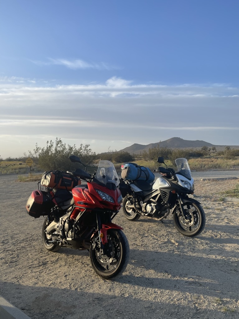
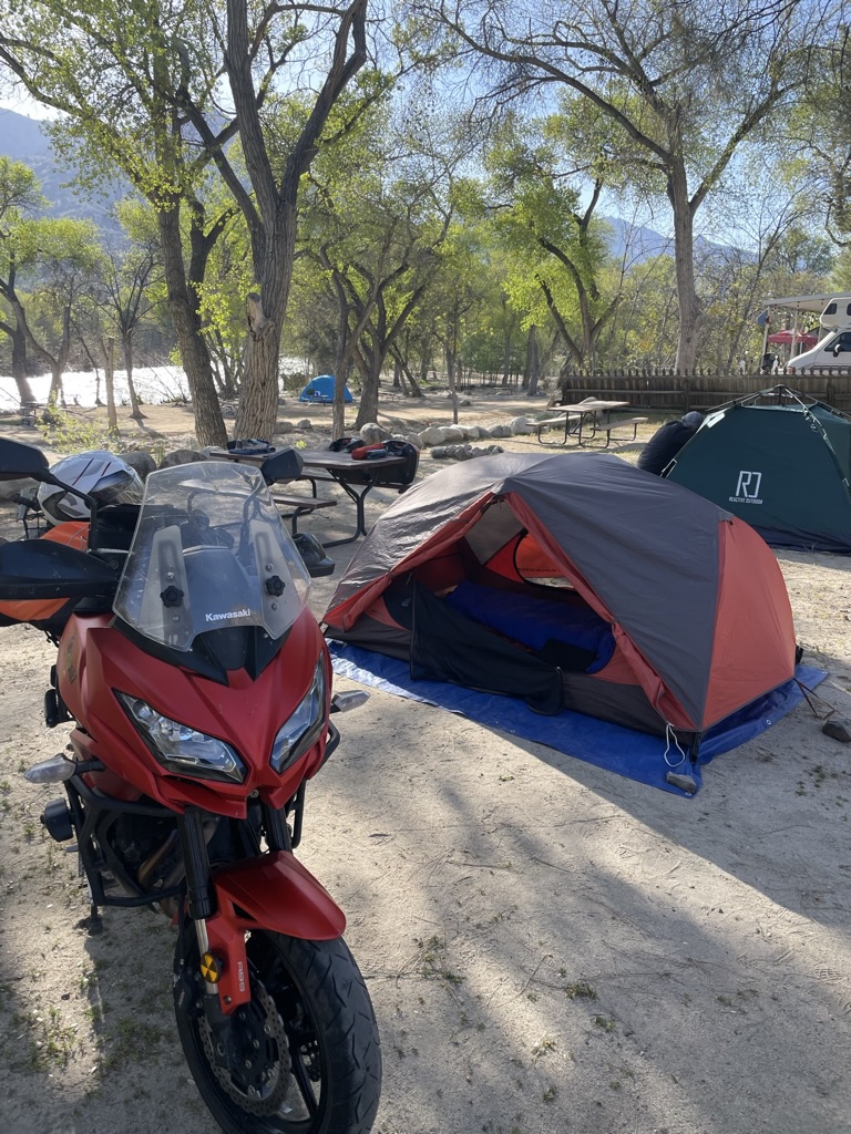
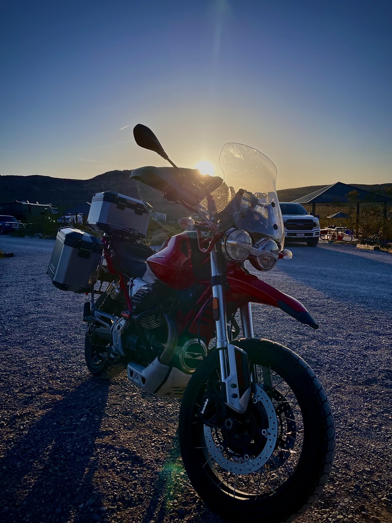
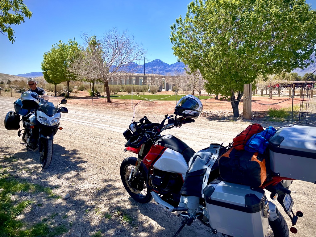
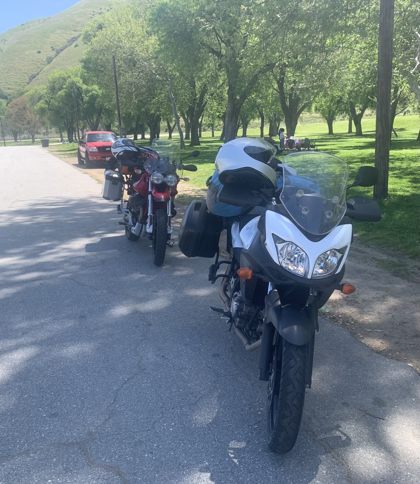
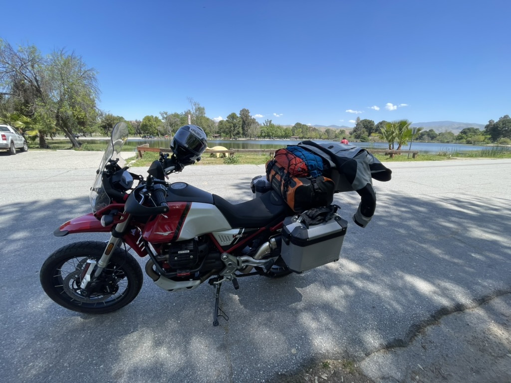
If you have followed the exploits of Sisyphusdw7.com, then you are familiar with Pete and Andy. Pete rides a Suzuki V-Strom and Andy sports a Moto Guzzi Norge while I mount on a Moto Guzzi V85-TT. You’ll also be familiar with Andy’s absence on all but one trip, Riding Under a Fool Moon, and Pete’s perfect attendance on each moto adventure I’ve chronicled on Sisyphusdw7.com since its inception in 2016. Next time, eh Andy?
Click the links of the daily headings to see the route maps.
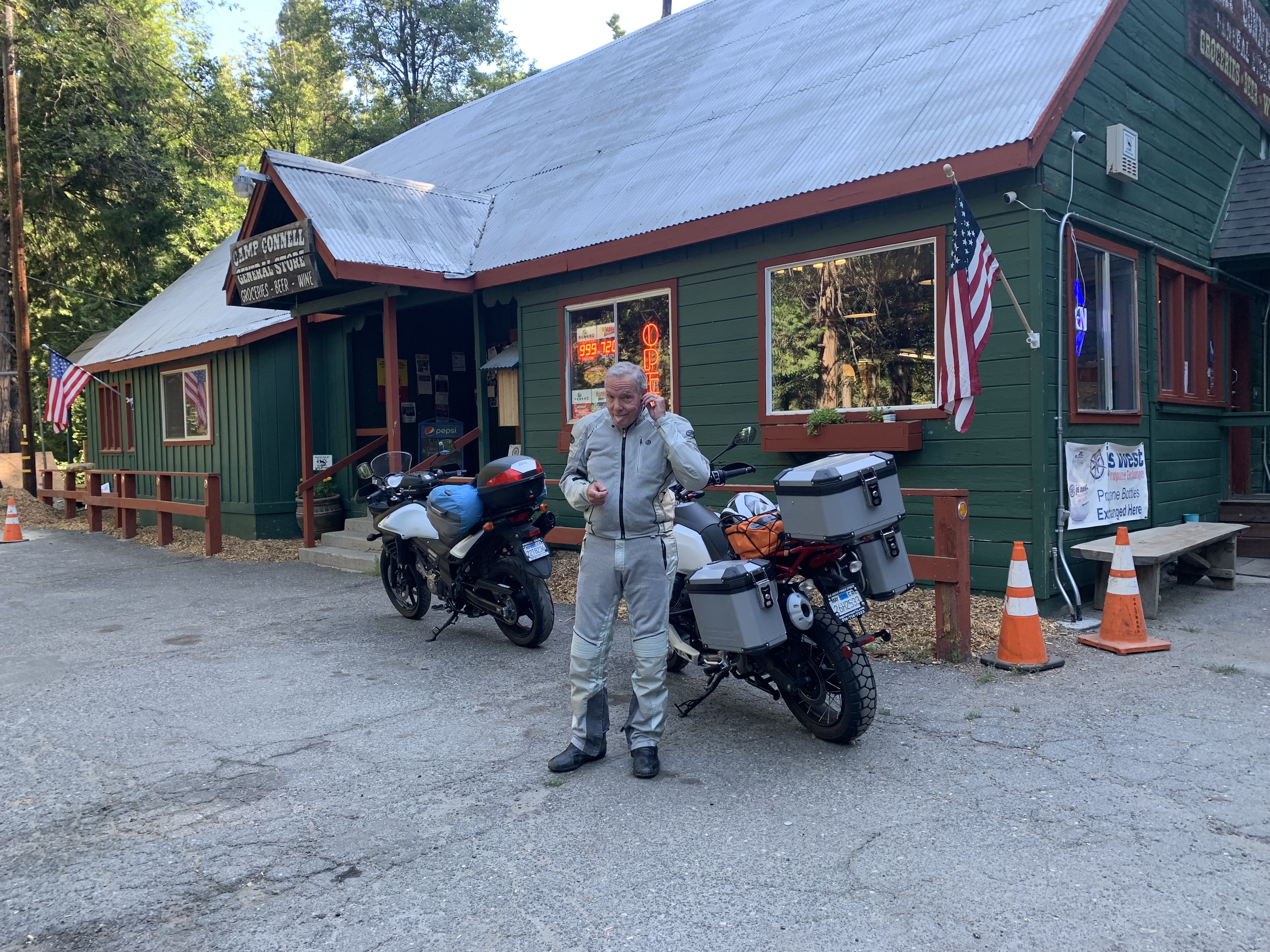
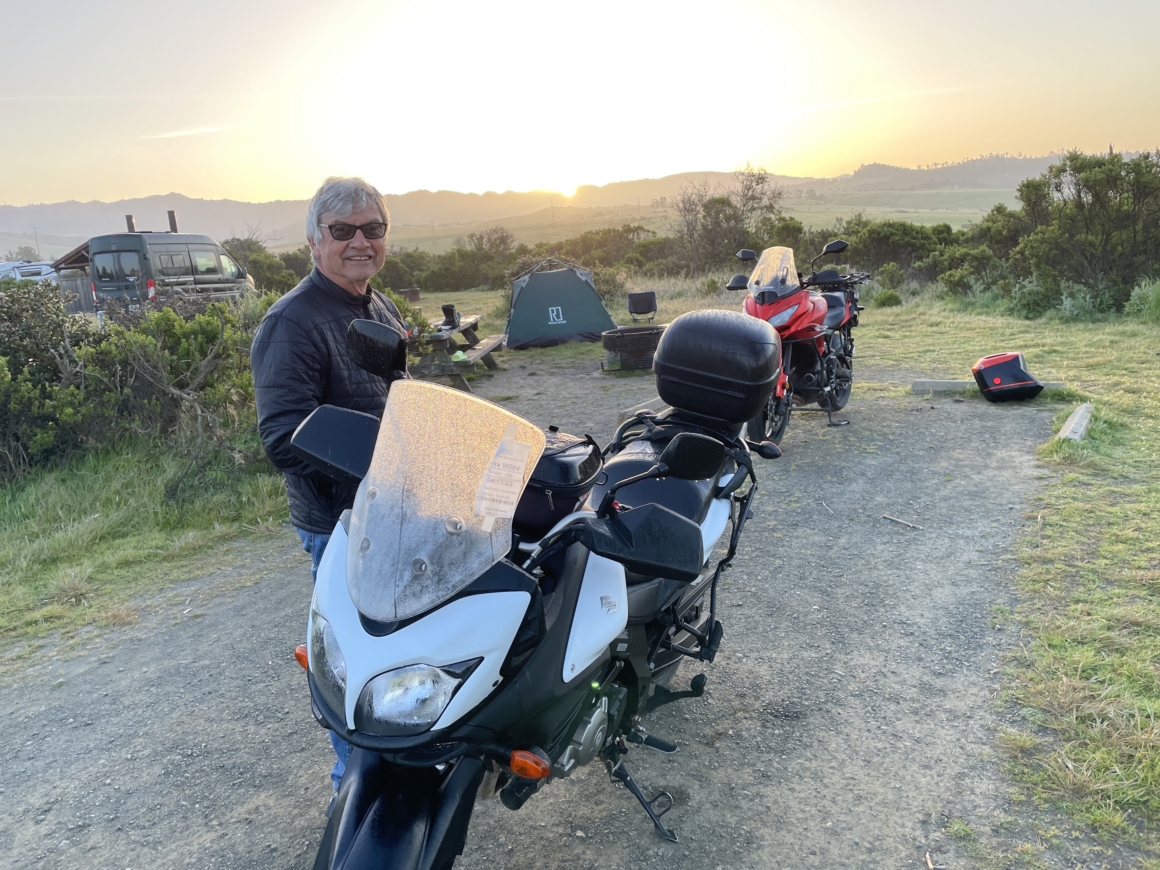
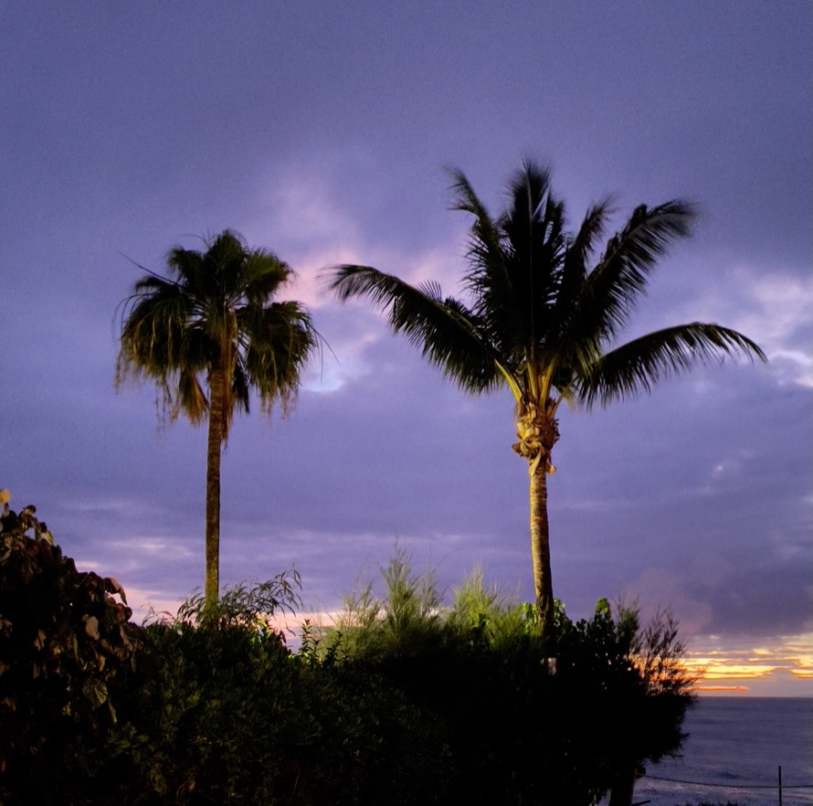
Day 1, Merced to Red Rock Canyon State Park

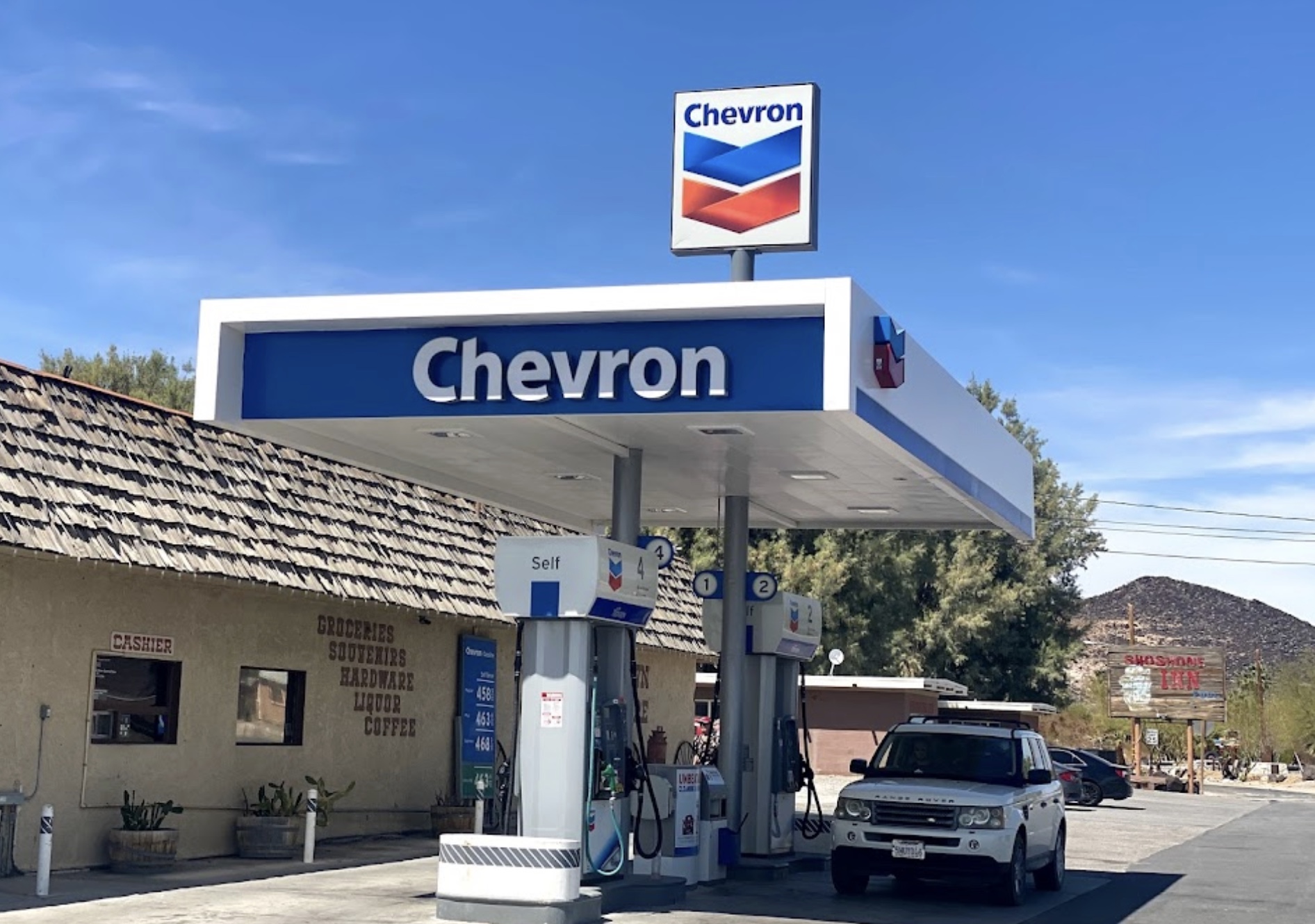
The first leg of the journey of a thousand miles began at our usual meeting place, the Chevron station on G St and Yosemite Ave in Merced. There happened to be four fellow bicycle riders who were meeting for a Sunday morning ride when I arrived to meet Pete. Loaded and ready for rambling, as is often the case describing our plan to our cycling friends, a faraway look in the eyes of one of the bicyclists was punctuated by, “I wanna go! I wanna go!”
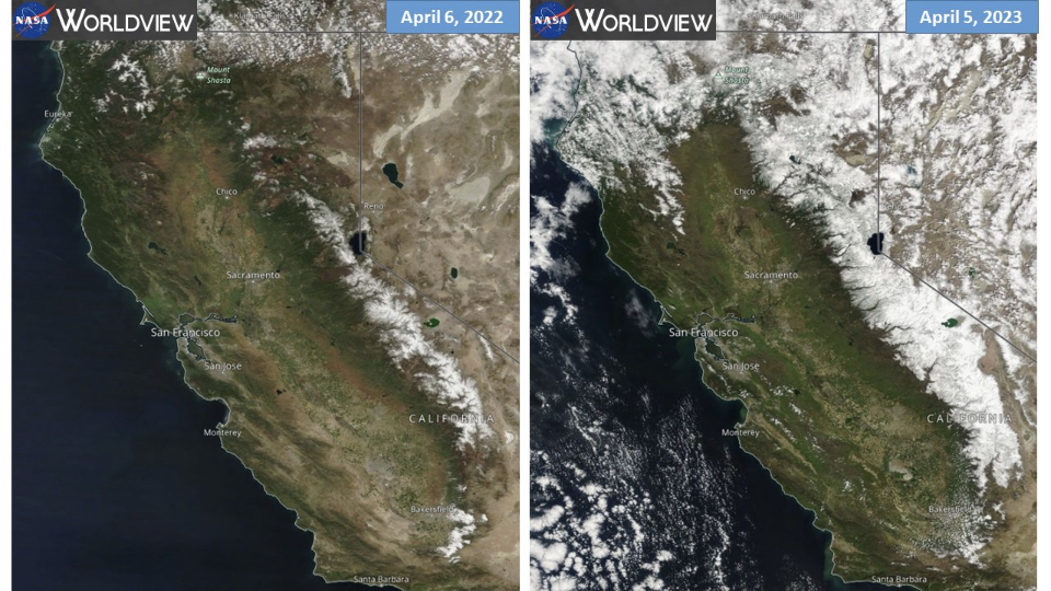
This first step of the journey included some 200 miles through the San Joaquin Valley floor skirting farming communities of Dos Palos, Firebaugh, Mendota, Tranquility, Lemoore, Corcoran, Allensworth, and Wasco. We even passed near the community of Neufeld, perhaps named for members of Andy’s farming lineage. Passing by Corcoran, a lake called “Pa’ashi” by the indigenous Tachi Yokut tribe, that had disappeared 130 years ago from California largely by way of the diversion of the Kings, Kaweah, Tule, and Kern Rivers for irrigation and to a lesser extent, periodic drought, and now, after a series of severe weather events in 2023, the lake had returned.

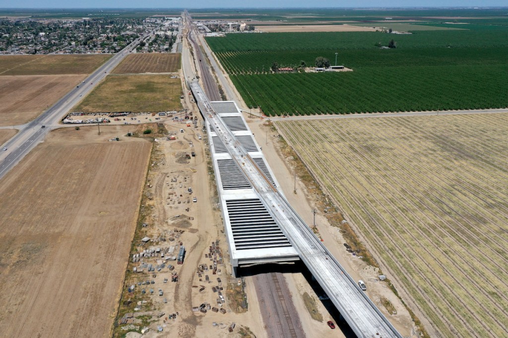
Images from NASA’s Aqua satellite orbiting the earth show the progression of flooding in the Tulare Lake Basin from March 2 through April 28, 2023
As a result of mitigation by stakeholder groups, the lake is now receding. What may also be receding are dreams of high speed rail in California as funding of the controversial project is questioned. Below is a drone image courtesy of hsr.ca.gov taken near Wasco in the southern San Joaquin Valley where the viaduct is being constructed to raise the rail-bed above potential flooding.
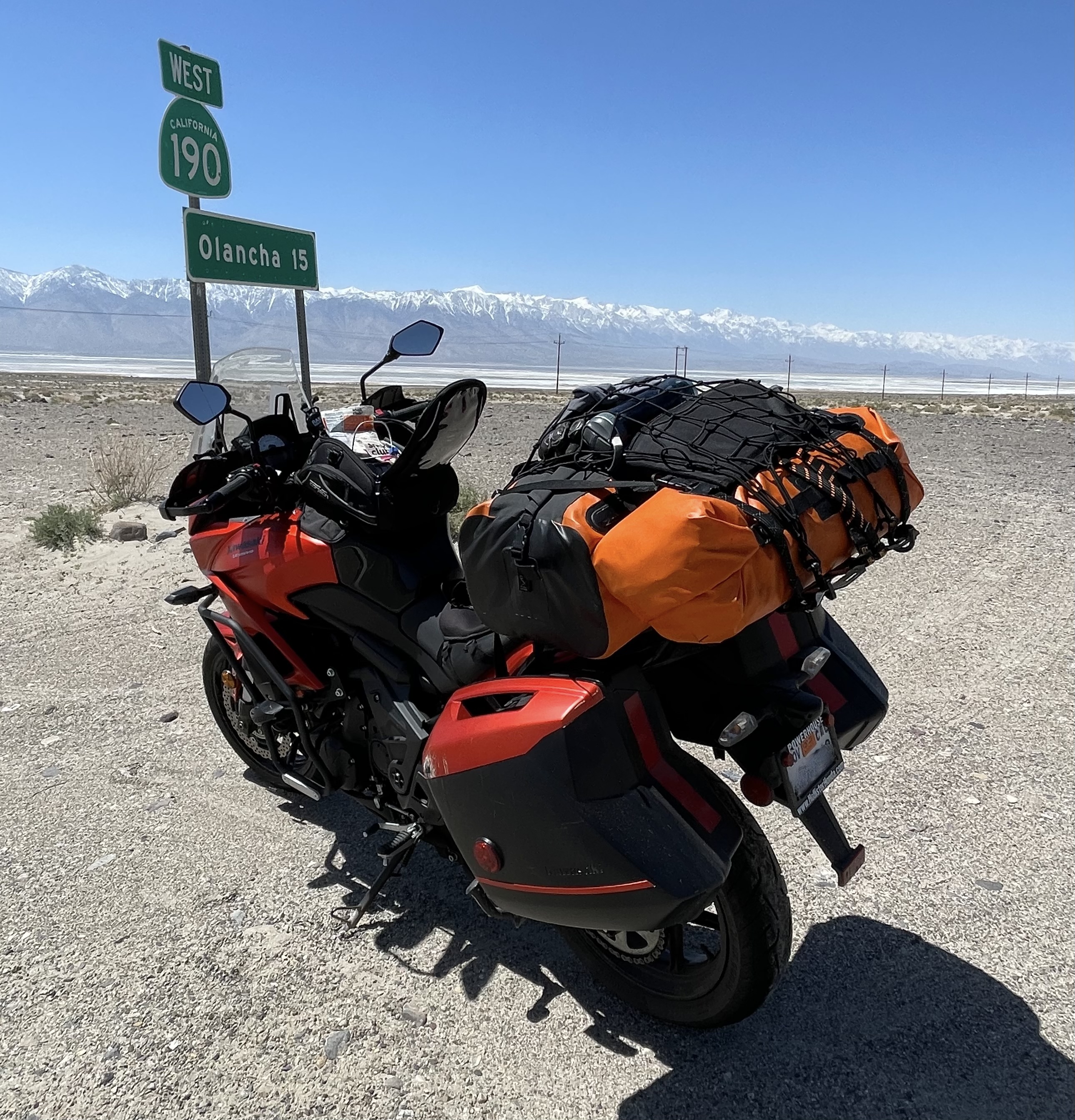
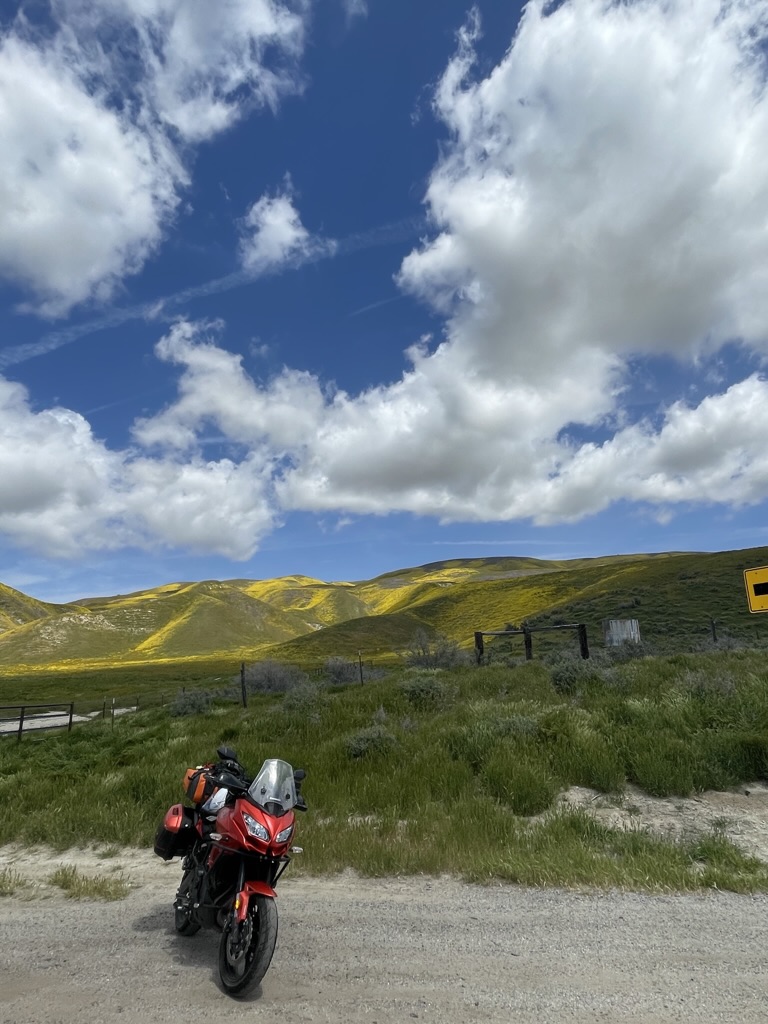
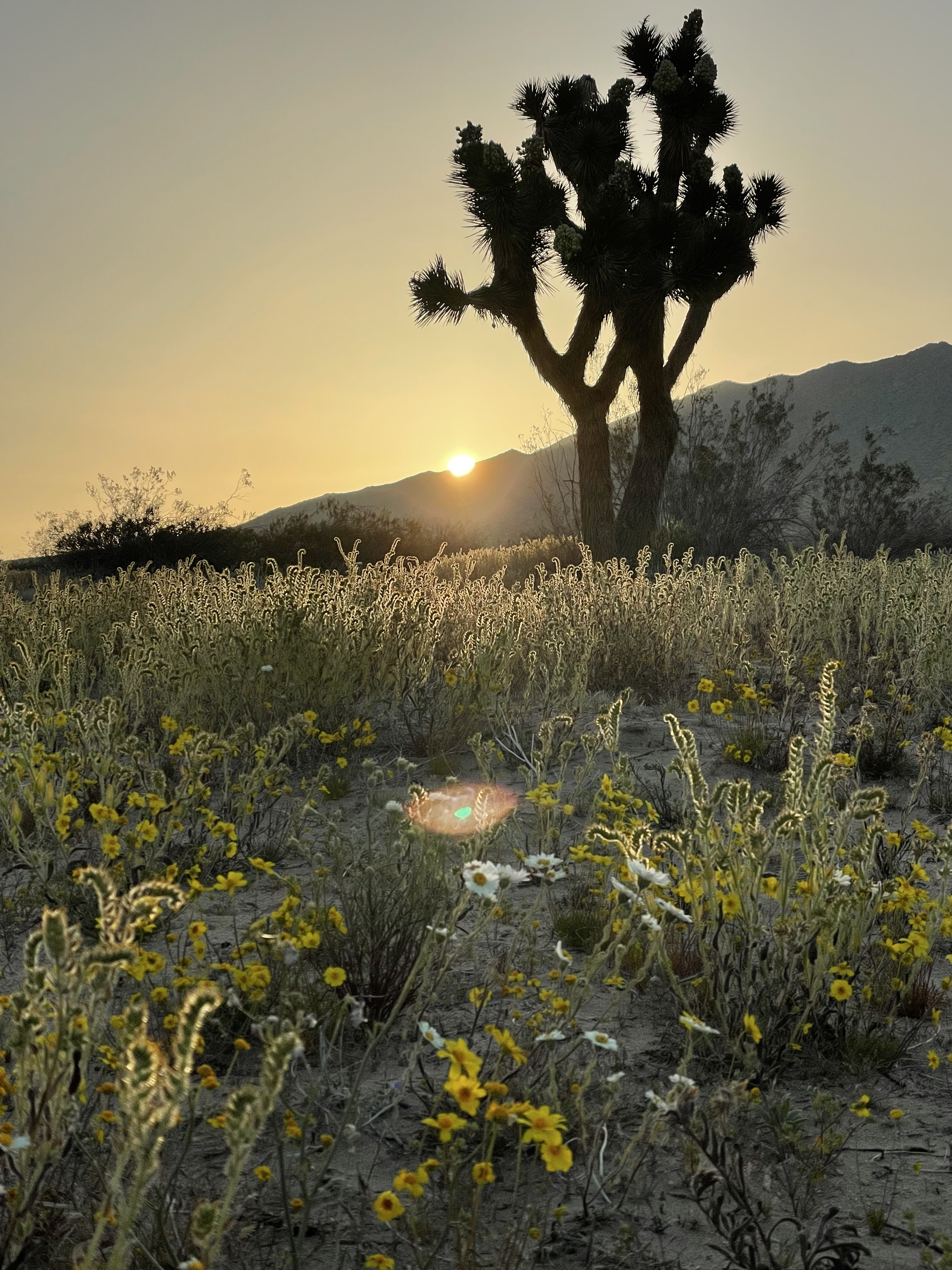
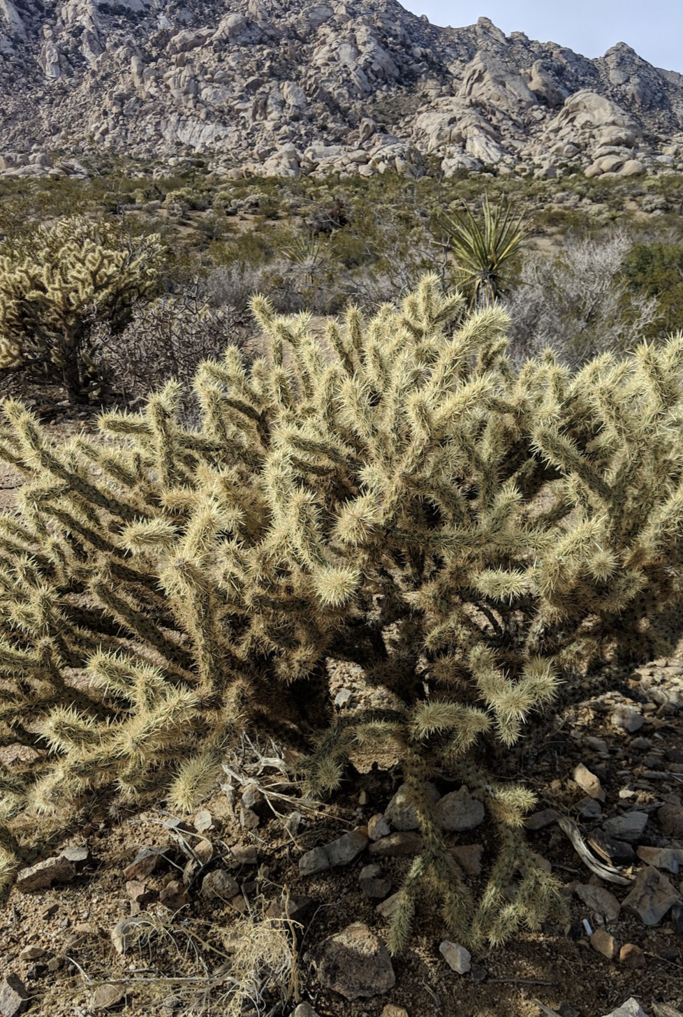
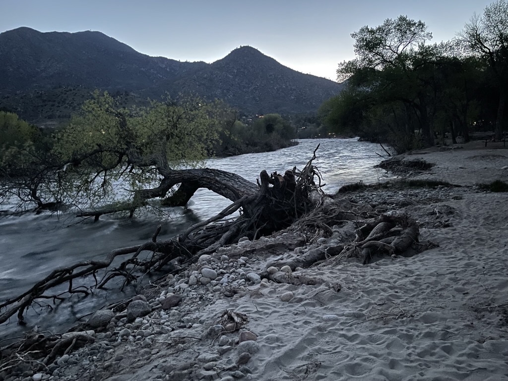
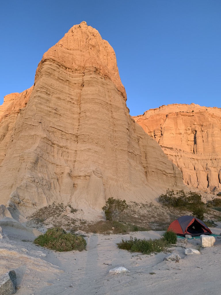
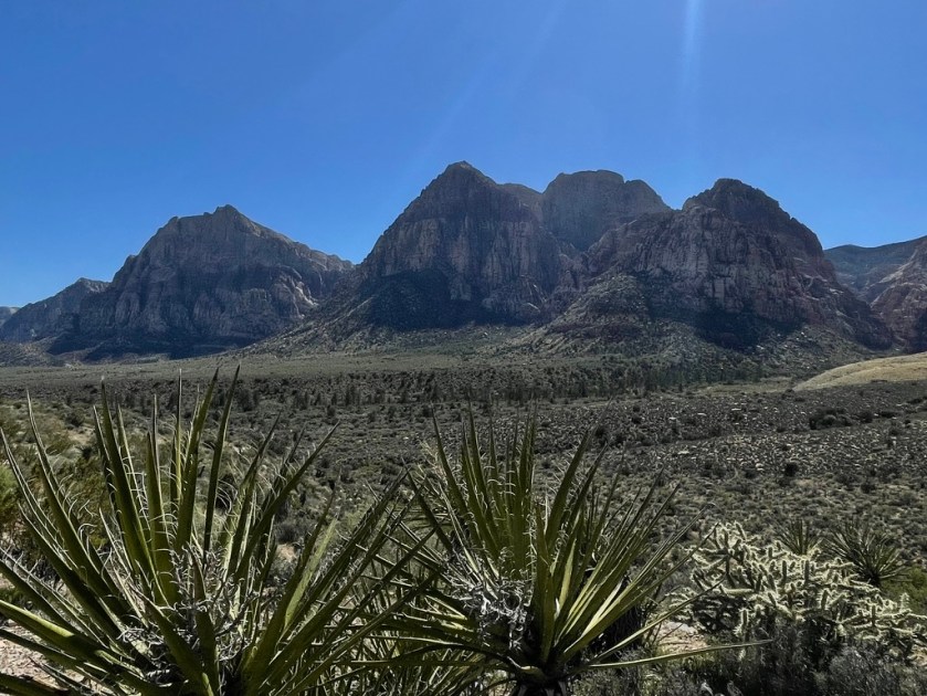
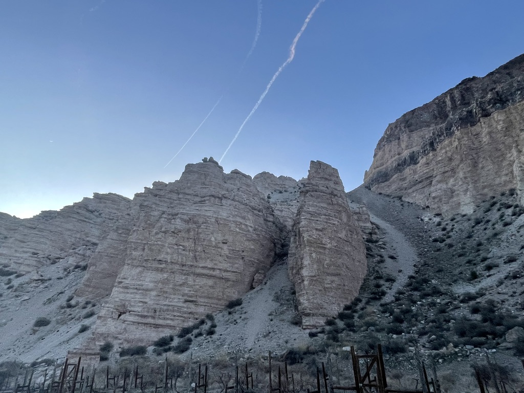
Leaving the valley, we traveled another 100 miles through the pump-jacks of the Kern River Oilfield, along the outskirts of Oildale, through the Kern River Hart Memorial Park, and then meandering through the Kern River Canyon past Lake Isabella, over Walker Pass on CA-178, to south on CA-14, all en route to our first campsite at Red Rock Canyon State Park. The California version of a Red Rock Canyon.


Many of the pump-jacks appeared to be new and they were dipping and rising en masse in what must be the expression of how us ‘Meri”can”s have nearly achieved oil independence. Who needs high speed rail when up through the ground comes a bubblin’ crude? Just in case, I’m joking. Though I ride a fossil fuel consuming motorbike, I support alternatives for mass and individual transit (high speed rail and bicycles) that don’t entirely depend on the crude.
The Kern River Oil Field covers an area of 10,750 acres (43.5 km^2) in a rough oval extending over the low hills north-northeast of Bakersfield, in the lower Sierra foothills, hills which are now almost completely barren except for oil rigs, drilling pads and associated equipment. This area is the densest operational oil development in the state of California: Midway-Sunset southeast of the Kern River oilfield, which has more wells, is almost three times as large in surface area, for a lower overall density.
There are others, like the McKittrick fields I’ve featured in a previous Super Bloom post. Yielding a cumulative production of close to 2 billion barrels (320,000,000 m^3) of oil by the end of 2006, it is the third largest oil field in California, after the Midway-Sunset Oil Field and the Wilmington Oil Field, and the fifth largest in the United States. Its estimated remaining reserves, as of the end of 2006, were around 476 million barrels (75,700,000 m^3), the second largest in the state. It had 9,183 active wells, the second highest in the state. The principal operator on the field is Chevron Corporation. (Thanks Wiki…)
The contrast between the verdant ag lands of the valley floor and the desolate oilfield, from which the last barrels of carbon were being extracted, is striking. For a detailed history and updated production figures, check out: Kern River Oilfield. Our impact on the environment for feeding our civilization is fragile when you consider that as few as 150 years ago the indigenous peoples of the region lived in relative harmony with nature.
The temperatures were just right until we began climbing up to Lake Isabella. Clouds and a passing cold front made for a chilly section of CA-178, the Kern Canyon Road. Along with a couple of “Roadwork Ahead”, “Prepare to Stop” signages as two lanes merged into a single lane, a chilling scene unfolded as we came upon a motorcyclist who was writhing on the road having apparently been thrown from his bike that was lying against the canyon wall some hundreds of yards away…
Once we made it to the divided four lane portion of CA-178 as we approached Lake Isabella we experienced a brief respite from the twisty canyon road traffic traveling down the Kern River Valley with a lunch stop at The 178 Bar and Grill.


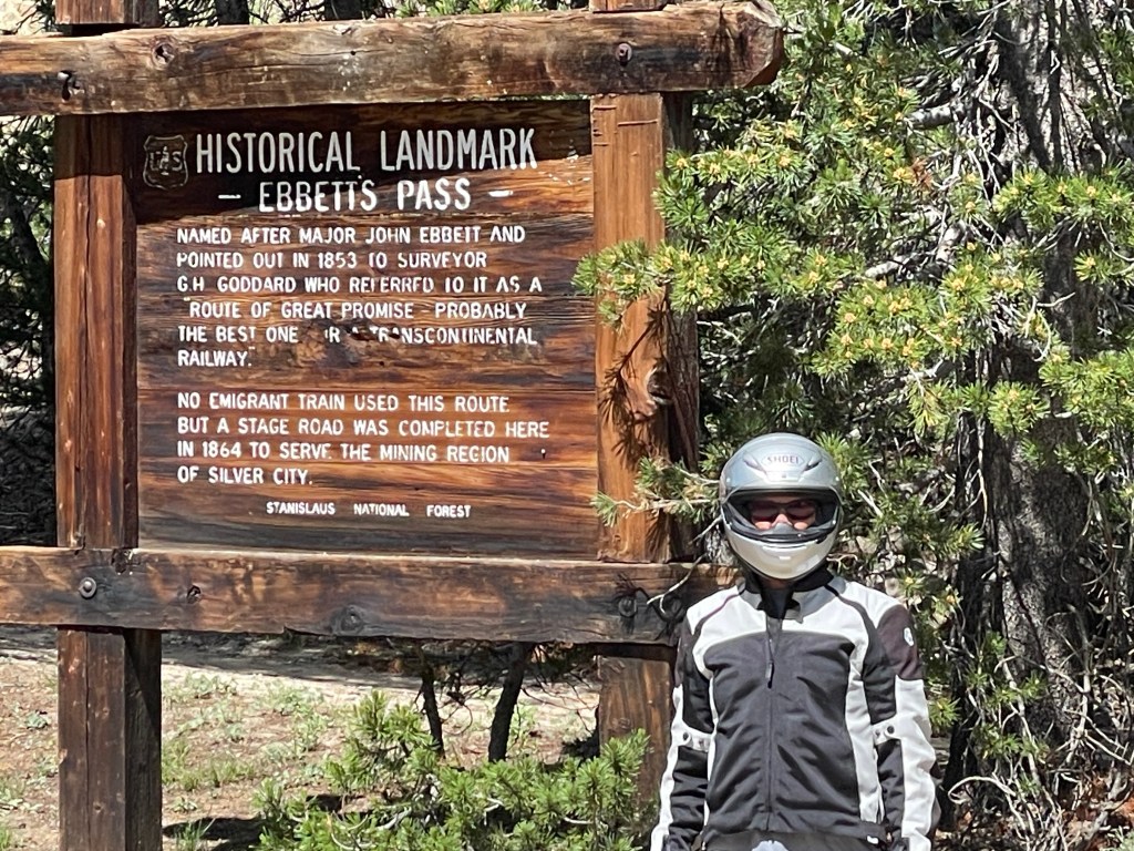
The sun broke through the clouds and we enjoyed a little thermal respite besides that transmitted through heated grips on the motos. It’s always a challenge to insulate against the cold and heat when moving from one elevation/climate zone into another, namely the Sierra to the Mojave, regardless of the season. Passing through the small lakeside communities of South Lake and Waldon, we then passed through the more rural agricultural communities of Onyx and Canebrake. It’s there we began the climb over Walker Pass (el. 5250 ft) where, coincidentally, the Pacific Crest Trail intersects.
The pass was charted as a route through the Sierra in 1834 by Joseph Rutherford Walker, a member of the Bonneville Expedition who learned of it from Native Americans. Walker returned through the pass in 1843, leading an immigrant wagon train into California. In 1845 the military surveying expedition of John C. Fremont used the pass. He suggested it be named after Walker. Walker Pass was used in 1861 by cattlemen from the San Joaquin Valley and the Tejon region of the Tehachapi mountains to drive cattle to the silver boomtown of Aurora near Mono Lake. Aside from the paved road, the pass is essentially unaltered since Walker mapped it in 1834. (Thanks Wiki…)
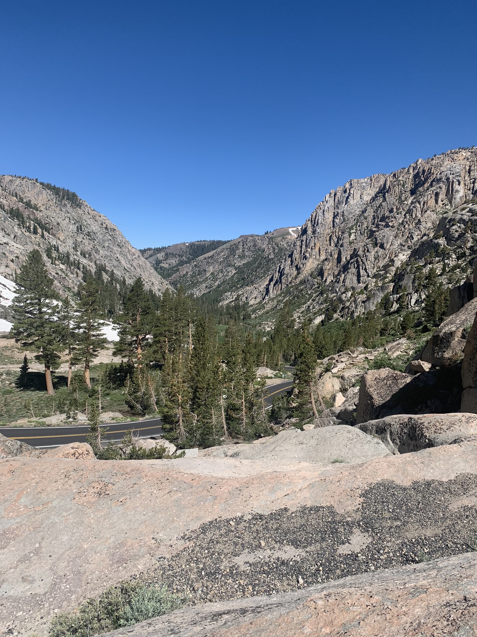
The view from Walker Pass to the vast expanse of the Mojave desert is stunning.
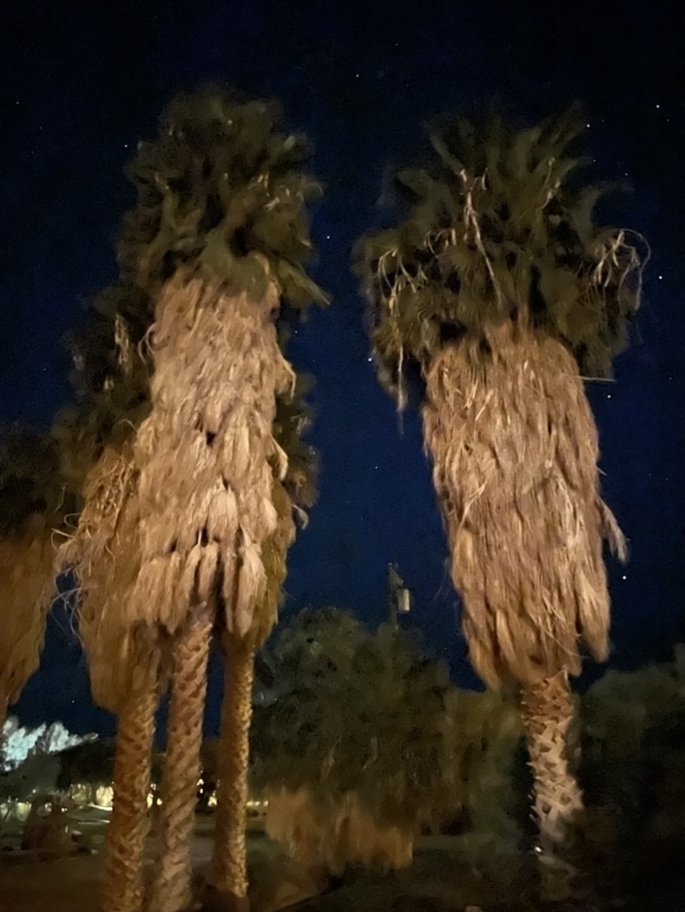
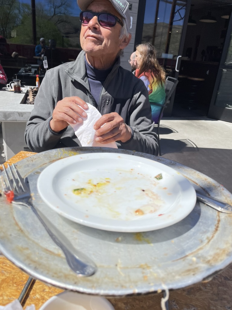
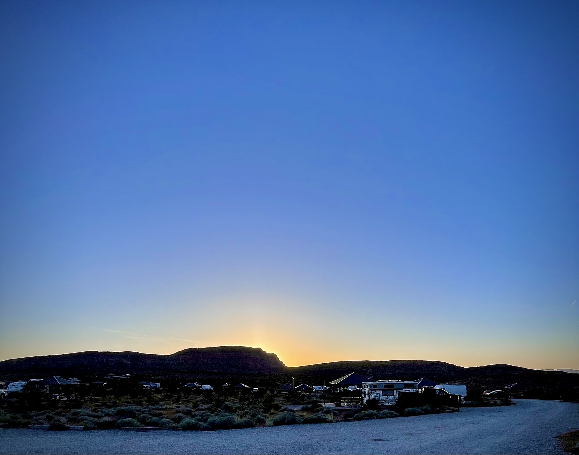
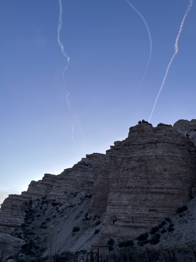
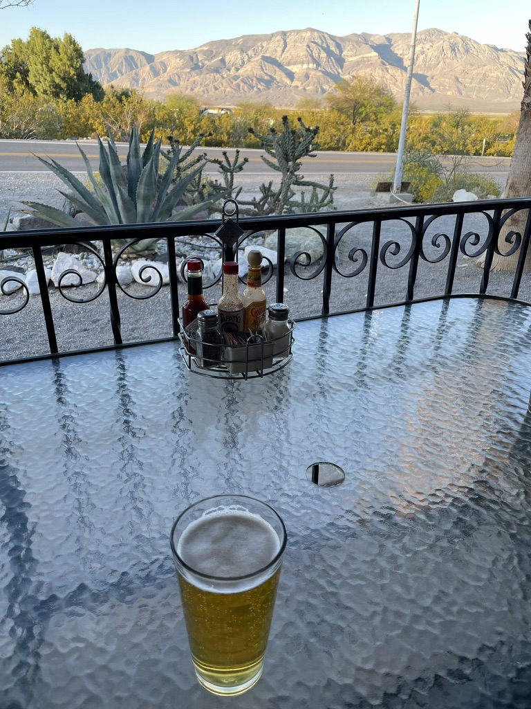
At the intersection of CA-178 and CA-14 we headed south, arriving at Red Rock Canyon State Park in just a few minutes. This state park has no reservation campsites, however, each site has a table, potable water and pit toilets are available, some even open air stalls! There is a fee that we paid, including a $2 senior discount and our reasoning that since a second vehicle added $6, our two 2-wheeled motos were the equivalent of a 4-wheeled vehicle requiring no additional fee. Having no pen or pencil we left the envelope in the drop box (duh) keeping the tag just in case a friendly ranger or maintenance worker checked in with us suspecting turnstile jumping dirtbag motorcyclists.

The area was once home to the Kawaiisu people. Some petroglyphs and pictographs are found in the El Paso Mountains and represent ritual sites from ancestors of the Coso people were early indigenous inhabitants of this locale. They created extensive carvings in rock within the El Paso and neighboring mountains of Red Rock Canyon and conducted considerable trade with other tribes as far as the Chumash on the Pacific coast.
The colorful rock formations in the park served as landmarks during the early 1870s for 20-mule team freight wagons that stopped for water. The park protects significant paleontology sites and the remains of 1890s-era mining operations.
Providing several unique, dramatic areas, and close to Los Angeles, since the 1930s Hollywood has frequently filmed at Red Rock Canyon, including motion pictures, television series, advertisements, and music videos. (Thanks Wiki…)
And of course, here’s one of my very favorite programs filmed in the Red Rock Canyon State Park, Huell Howser’s Golden Parks episode
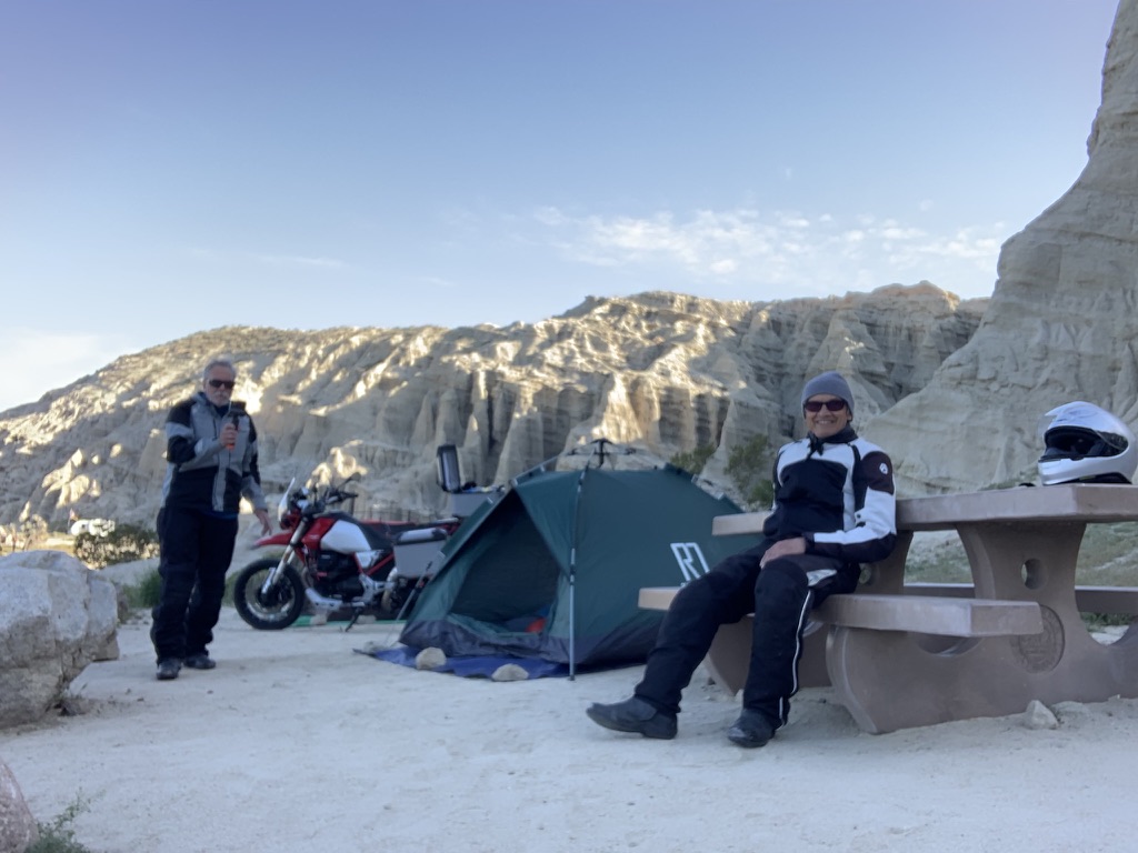
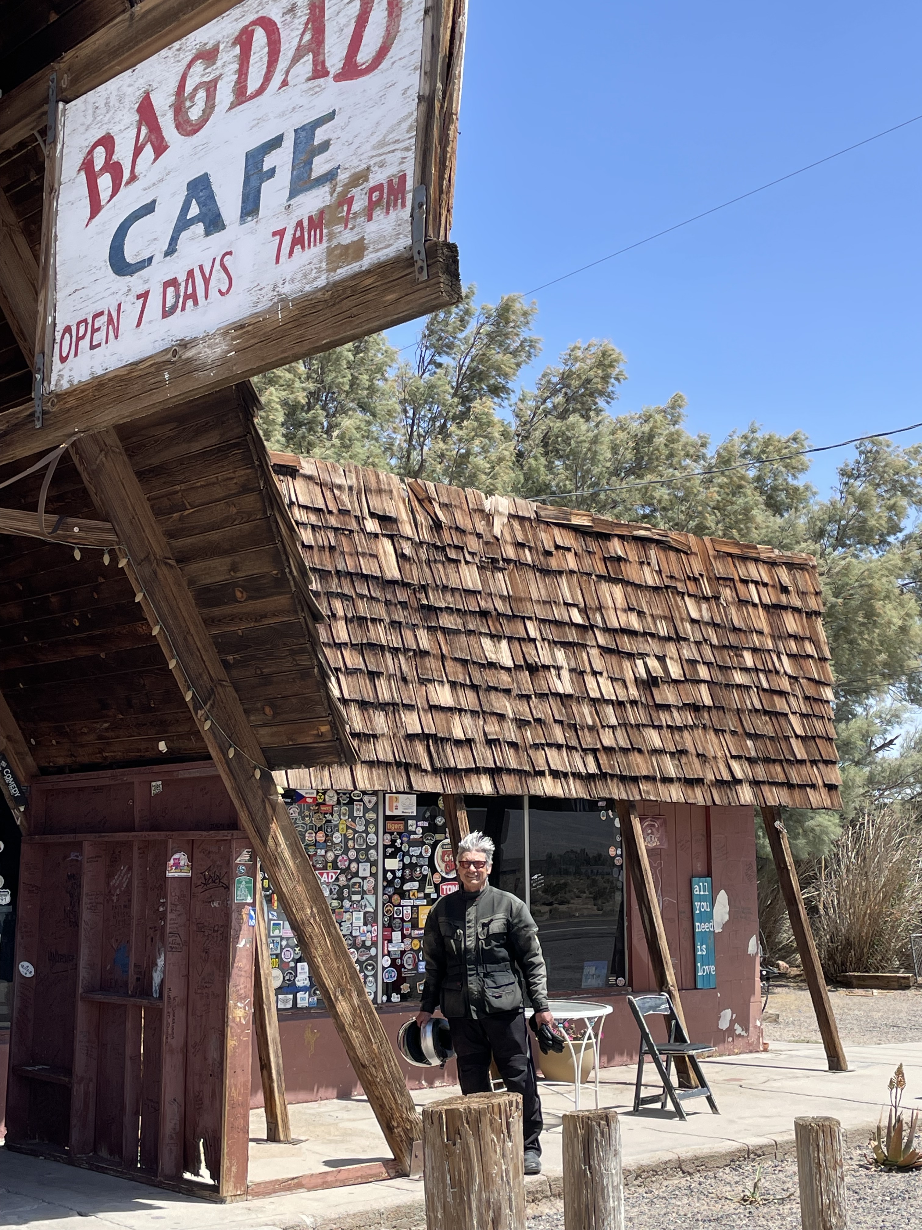
The nearest provisions were at the Jawbone Canyon Store, whose motto is, “Let them eat dirt!” around 7 miles further south on CA-14. That is where we thought we were going to get our dinner and 3R’s beverages after setting up camp. By then the wind was howling out of the south. When we arrived at the store that is popular among the ORV crowd around 5:30 pm, on this Sunday, the store was closed, so I guess, eating dirt was our option.
A quick search of Google Maps indicated that California City, about 14 miles further south, appeared to be a settlement of some consequence, so off we went battling sidewinds as the sun began to hug the western horizon.
After fueling up, procuring our favorite beverages, along with a bag of Fritos and a bundle of firewood at the One Stop Market, apparently in the midst of billion dollar lottery fever given the size of the crowd buying quick-picks, we headed back to camp after a 340 mile day. Fritos would have to do as our hearty lunch in Lake Isabella would sustain us…

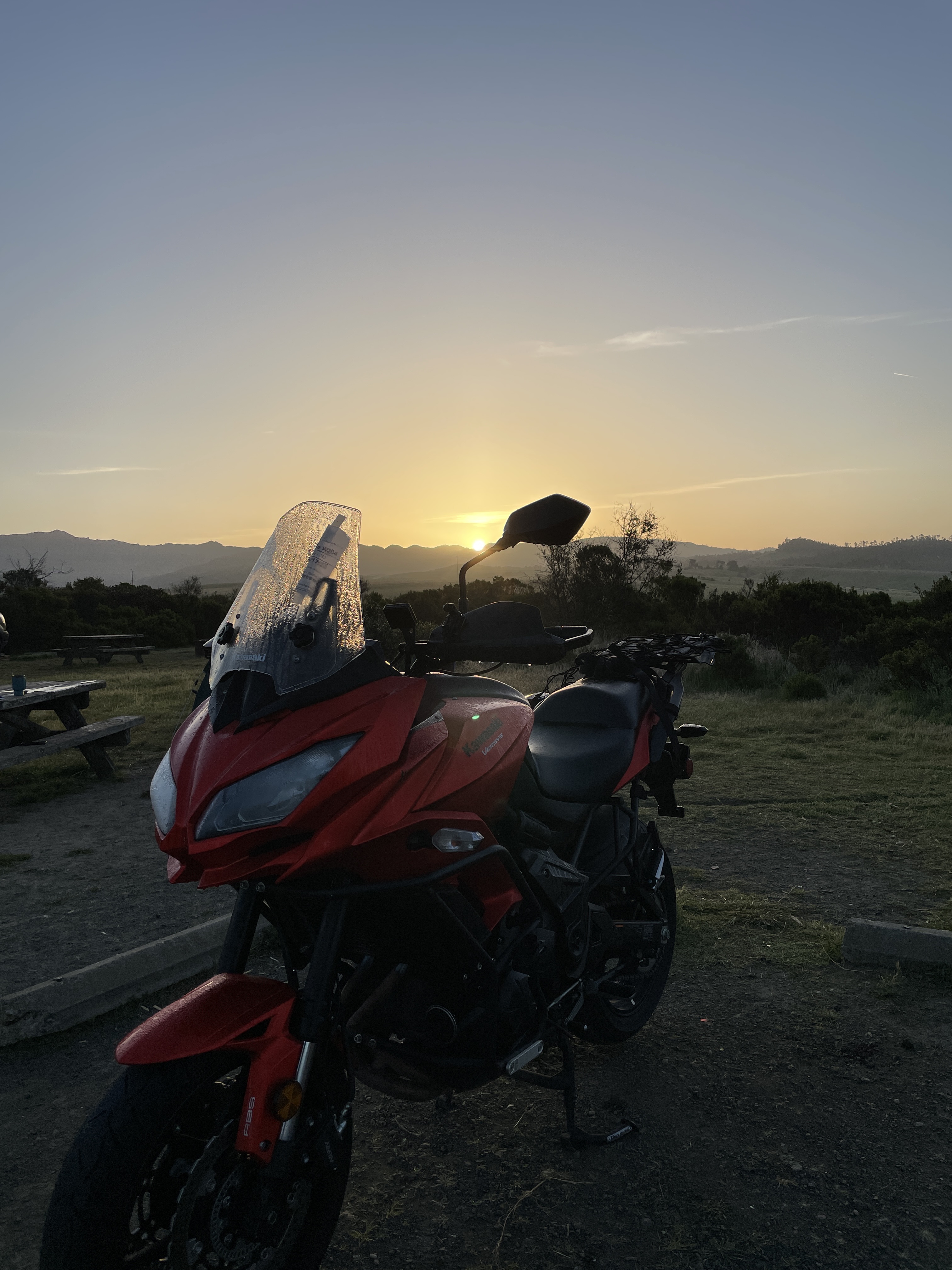
Day 2, Red Rock Canyon State Park to Shoshone
Twas a bit windy through the night, however as the sun arose on Monday morning, the wind had settled down.


A shorter day by ~100 miles lay ahead as we planned to sprint south on CA-14 to Redrock-Randsburg Rd en route to dawdle a bit in Randsburg on our way across Death Valley to Shoshone, one of our favorite stops.
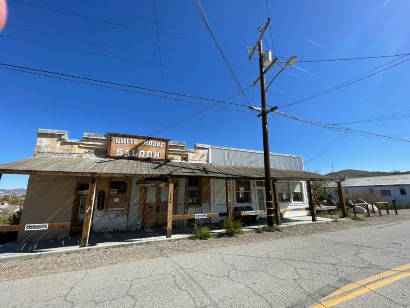
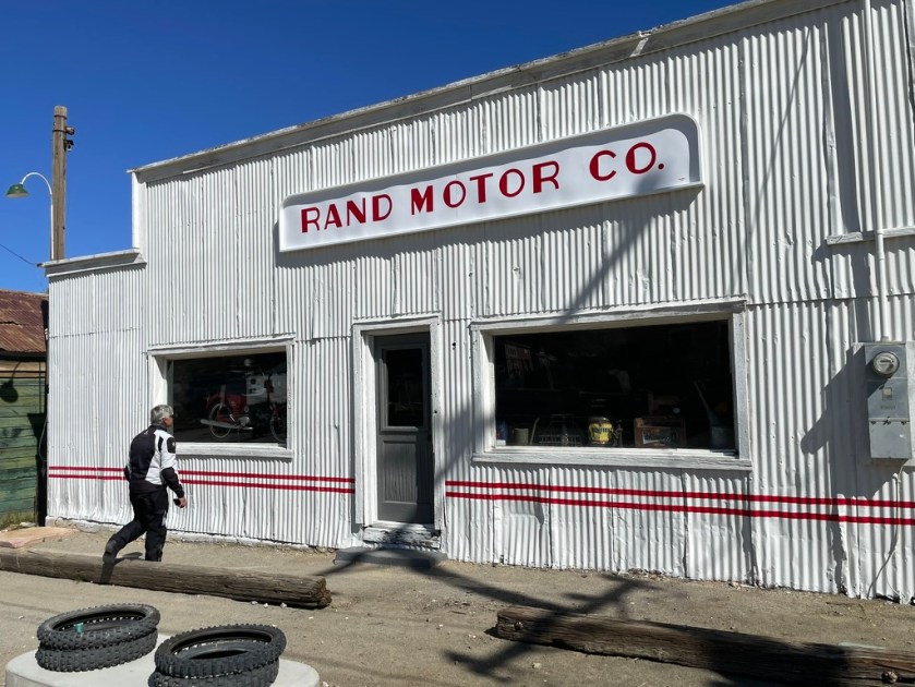
Randsburg California, or Rand Mining District as it is also known, is considered to be a “Living Ghost Town”. Holding on to the very brink of existence, this small mining community is located in the Northern Mojave. Outdoor recreation booms here: ATV, dirt bikes, 4x4s, motorcyclists. RVers & car clubs are welcomed. Weekends can be busy with tourists, local horsemen & desert dirt boys, but on week days you’ll have the place to yourself. An old fashioned soda fountain at the general store & a real old west saloon, hours vary with season. The Joint is the local bar. Randsburg is a great place for interesting desert photography. (Thanks to the Randsburg.com website, the domain for which is 4-sale)
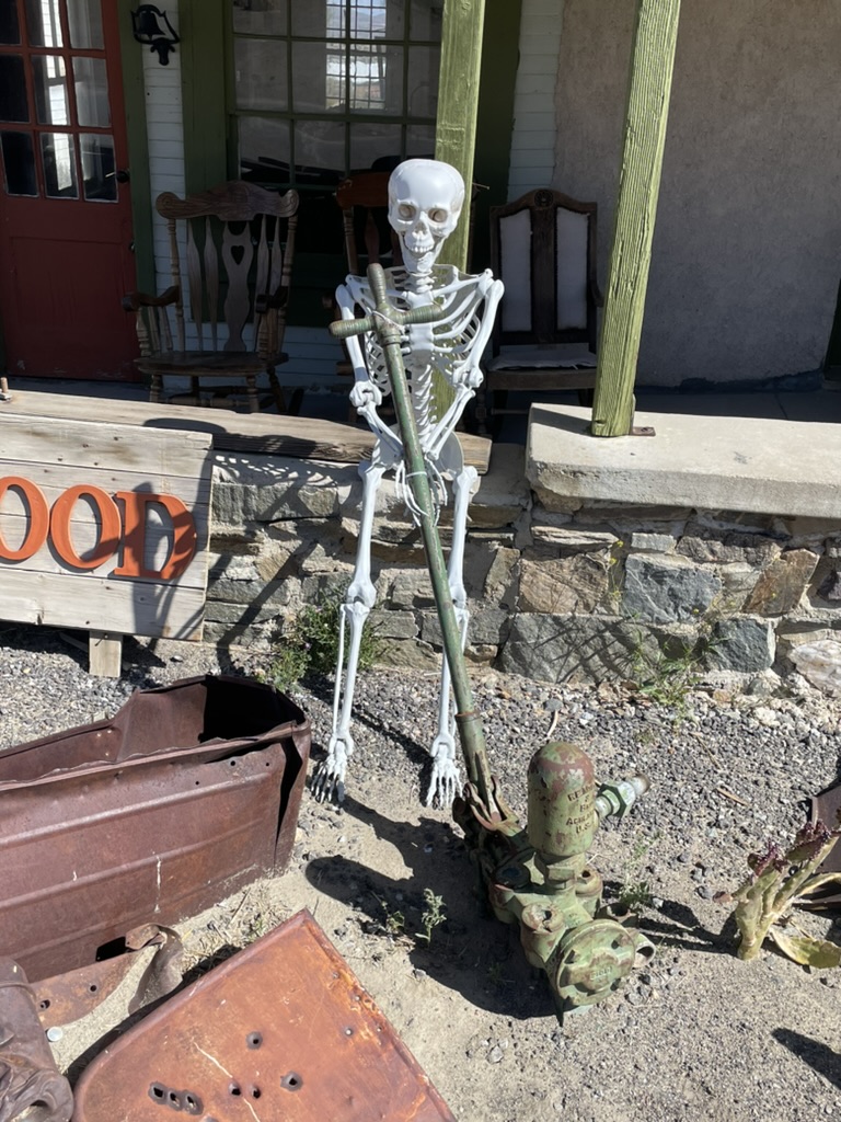
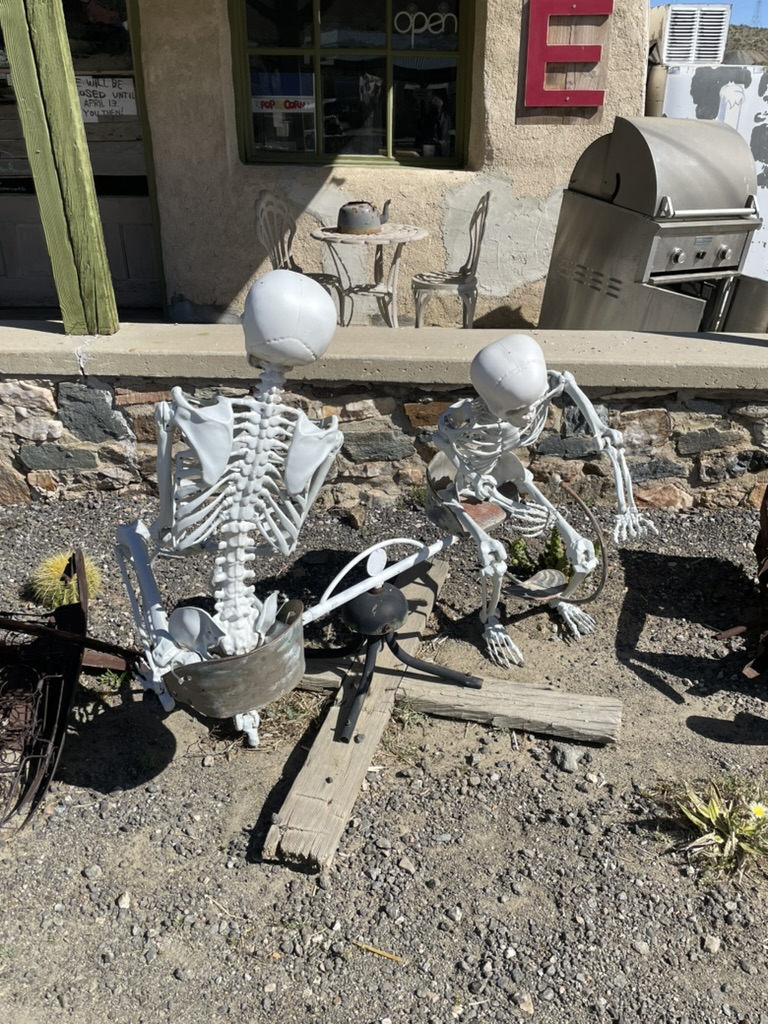
It was around 9:00 am on a Monday morning and in spite of the promotion about how people are dying to go to Randsburg, not a creature was stirring, not even a mouse. Wait, there was a dog barking at us from afar. We did pretty much have the place to ourselves except for a couple of local spirits.


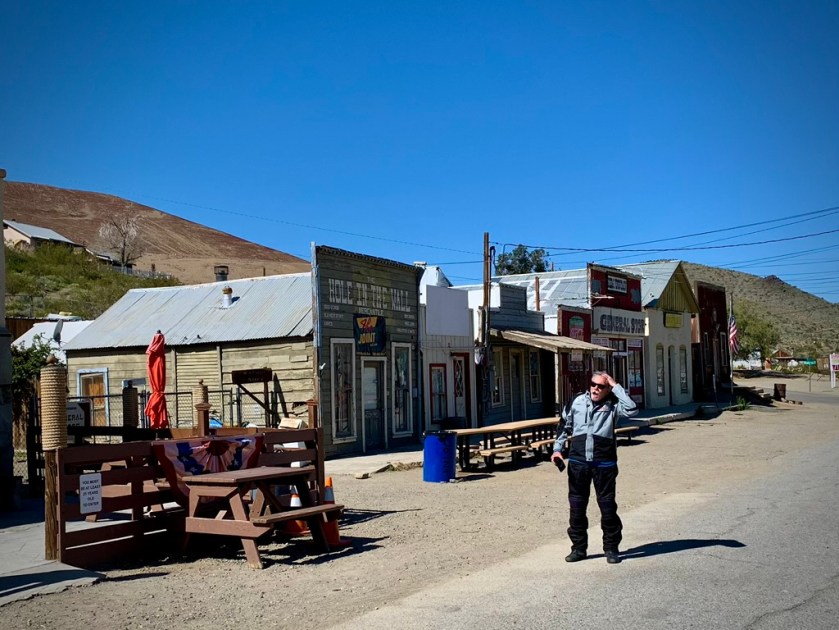
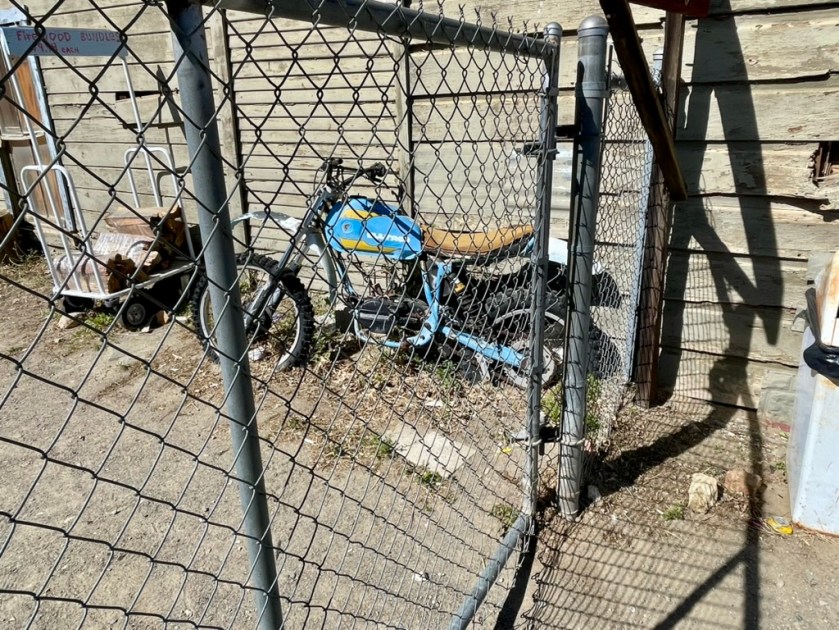
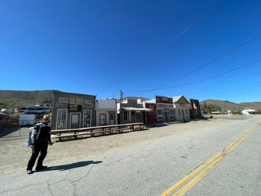


Pete was intrigued and wondered how much was that little Yamaha in the window. The Bulltaco was probably a better deal…

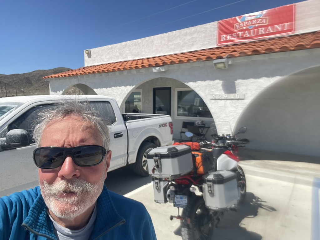
Next we were off to Trona on, what else but, Trona Rd and our favorite Trona cafe, Esparza’s for breakfast. You could consider that Exparza’s has a lakeside location. Except for the fact it’s Searles Lake. What the restaurant lacked by way of a view was more than compensated by the delicious fish tacos. I only hope they weren’t fresh from Searles Lake…
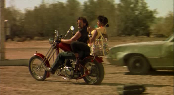
From there it was off to Death Valley via Trona-Wildrose Rd with a tailwind for a change. At the intersection of the Wildrose entrance to the park and the CA-190 Townes Pass entrance, there appeared a sign warning against the faint-of-heart tackling that route. We came upon a couple who we speculated were on rented Harleys, harleying their way to Death Valley, in full Haley regalia; riveted black leather jackets with fringe and matching chaps, hers with fringe, the chap’s, fringeless. They came to a sudden and mildly confused appearing stop as we approached at customary cruising speed on those long lonesome straightaways, safely under 100 mph. We passed, losing their tableau in the rear view mirror. I hope they chose well. It would be sad if they suffered like those bleached Randsburians…
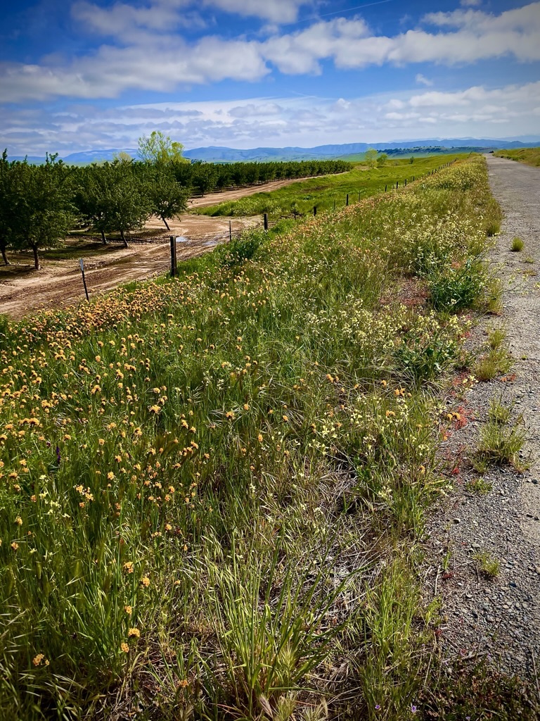
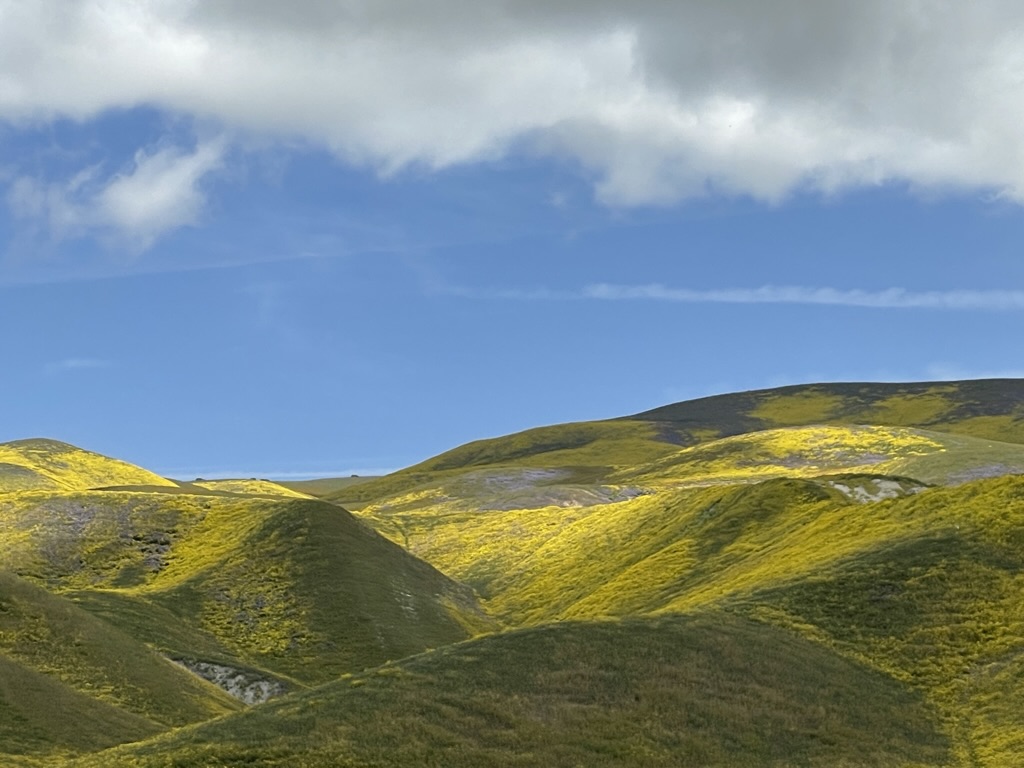
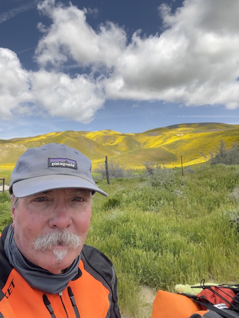
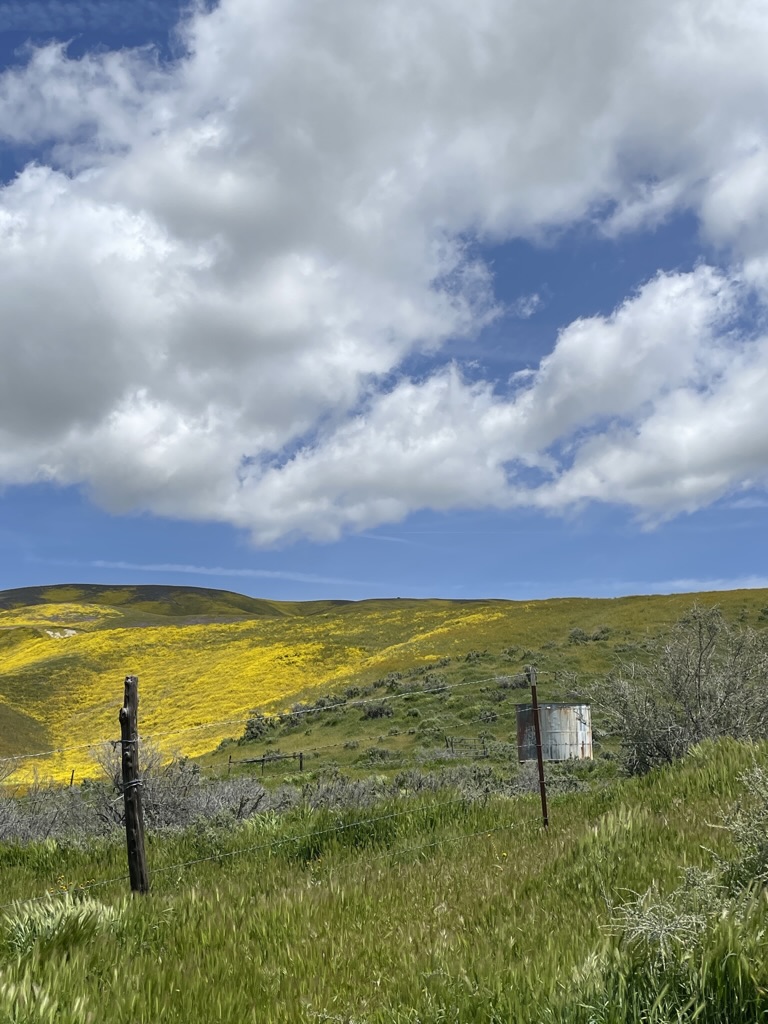
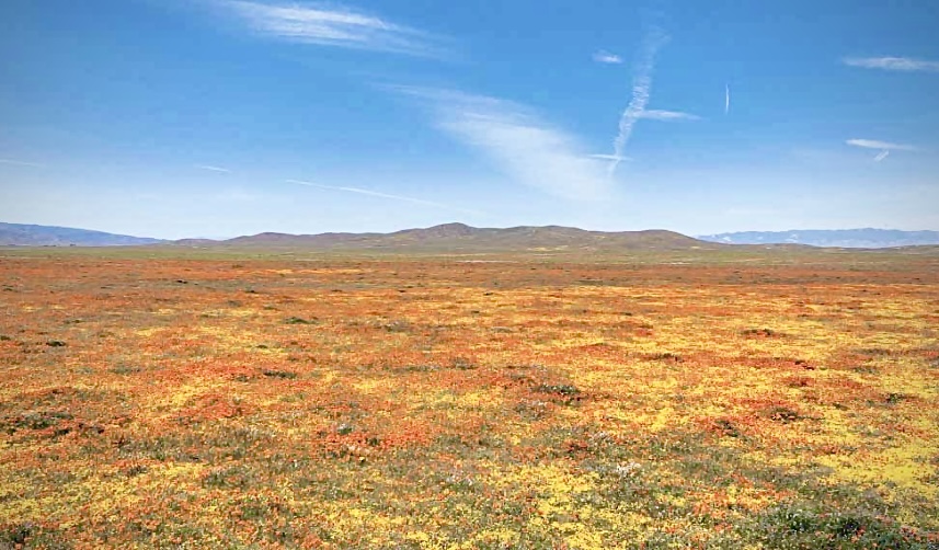
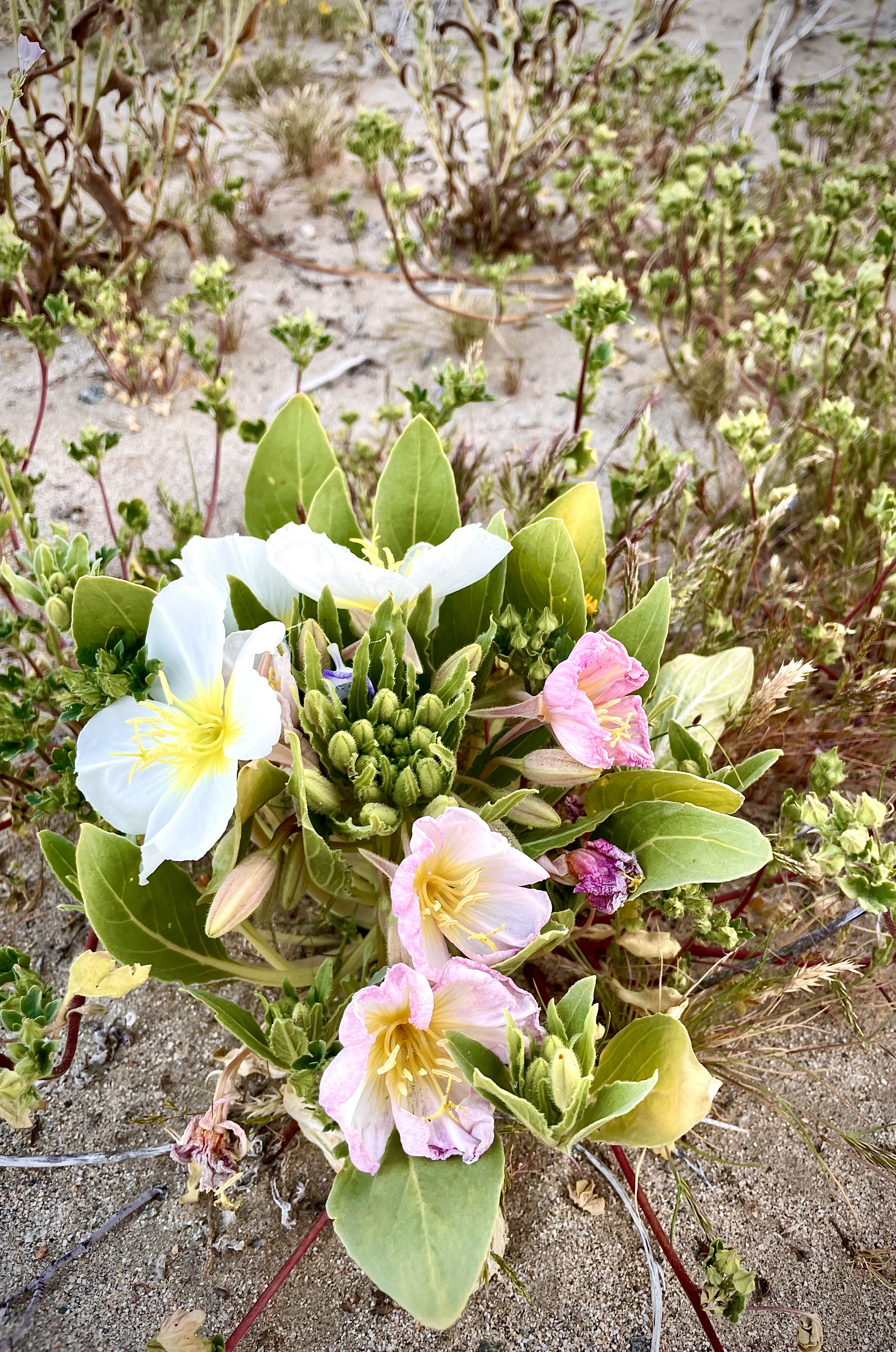
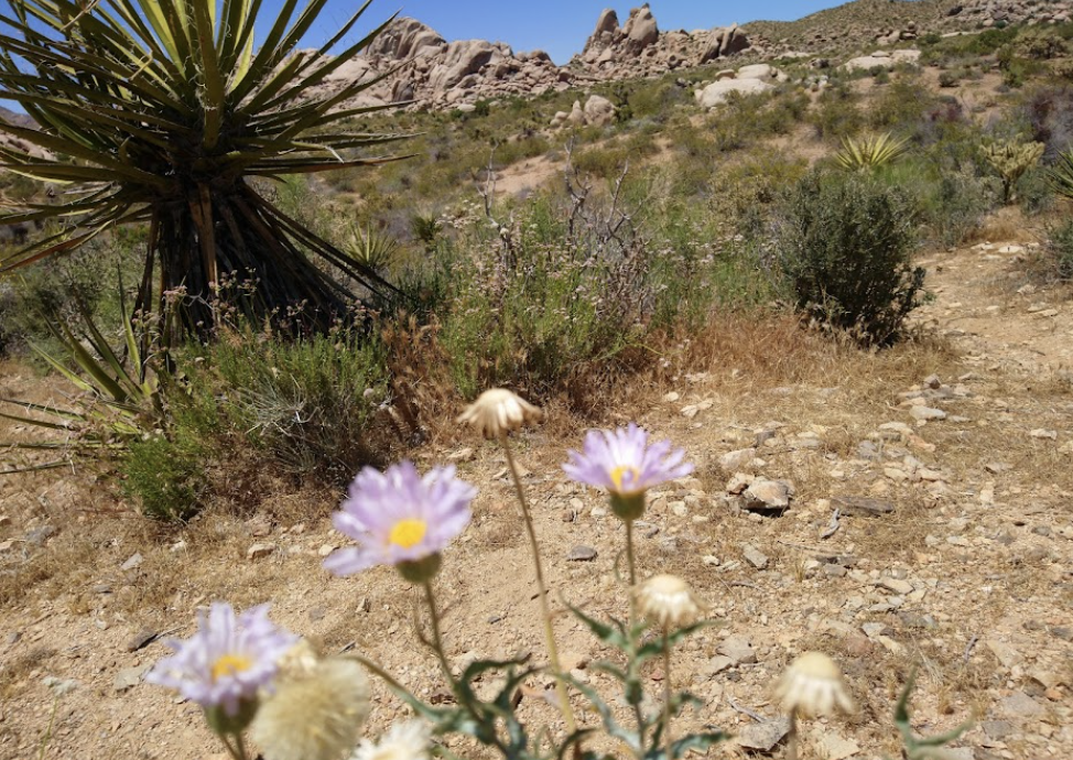
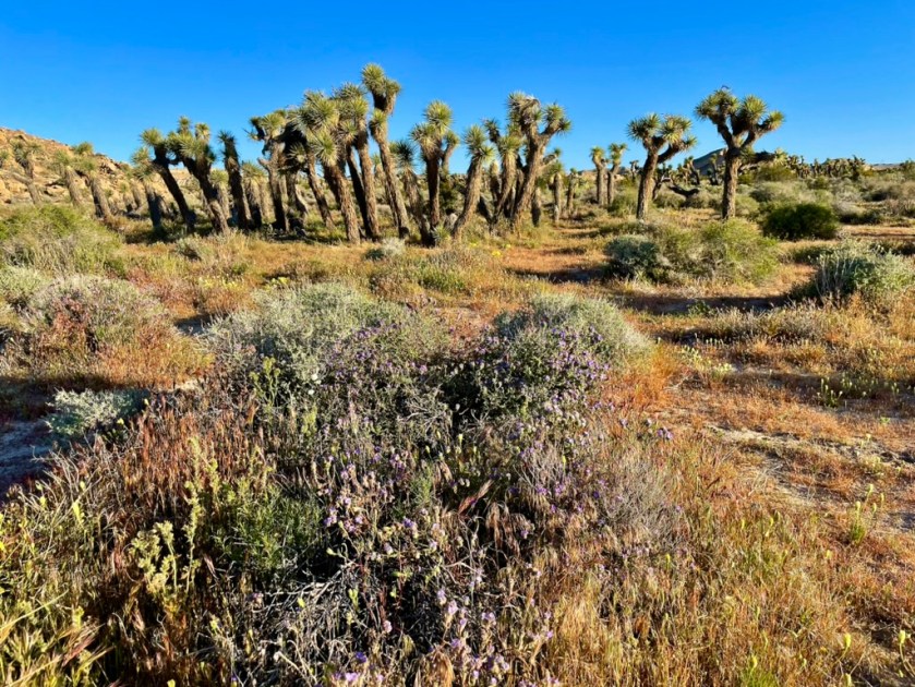
Right on CA-190 and the first real “super-bloom” was evident.
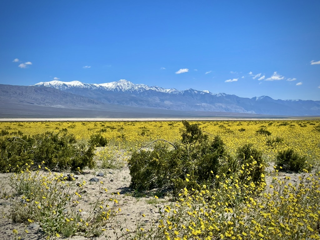
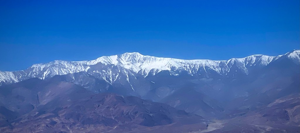
Geraea canescens, commonly known as desert sunflower, hairy desert sunflower, or desert gold, is an annual plant in the family Asteraceae that was showing off. Telescope Peak from the west, sporting some late spring snow, is still feeding Lake Manley on its eastern flank.
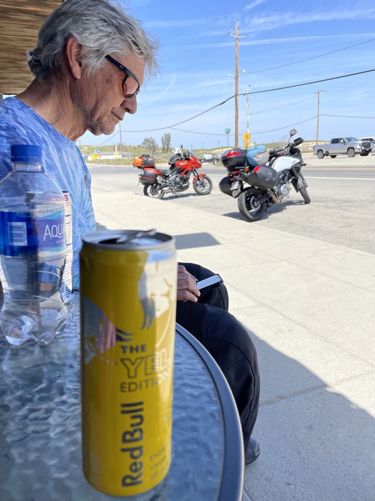
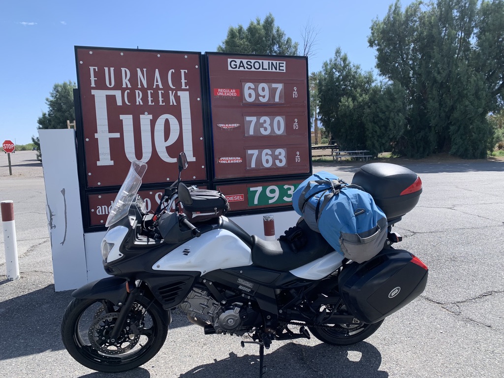
Death Valley was in the very pleasant mid-60’s when we arrived in Furnace Creek for a fuel stop. Ill Mio Rosso likes expensive stuff. Pete’s V-Strom uses the budget stuff.
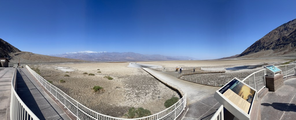
We contemplated taking CA-190 to Death Valley Junction, then CA-127 south to Shoshone. But, seeing an actual Lake Manley in Badwater was something worth the slightly added distance, heat, and traffic.

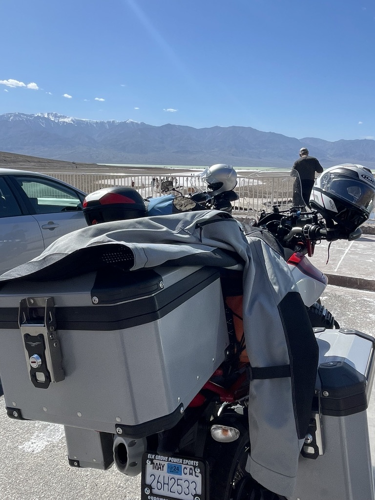
Channeling Ansel Adams, Pete busied himself composing a photo of the Seldom Seen Lake Maley as we pealed away layers of insulation.
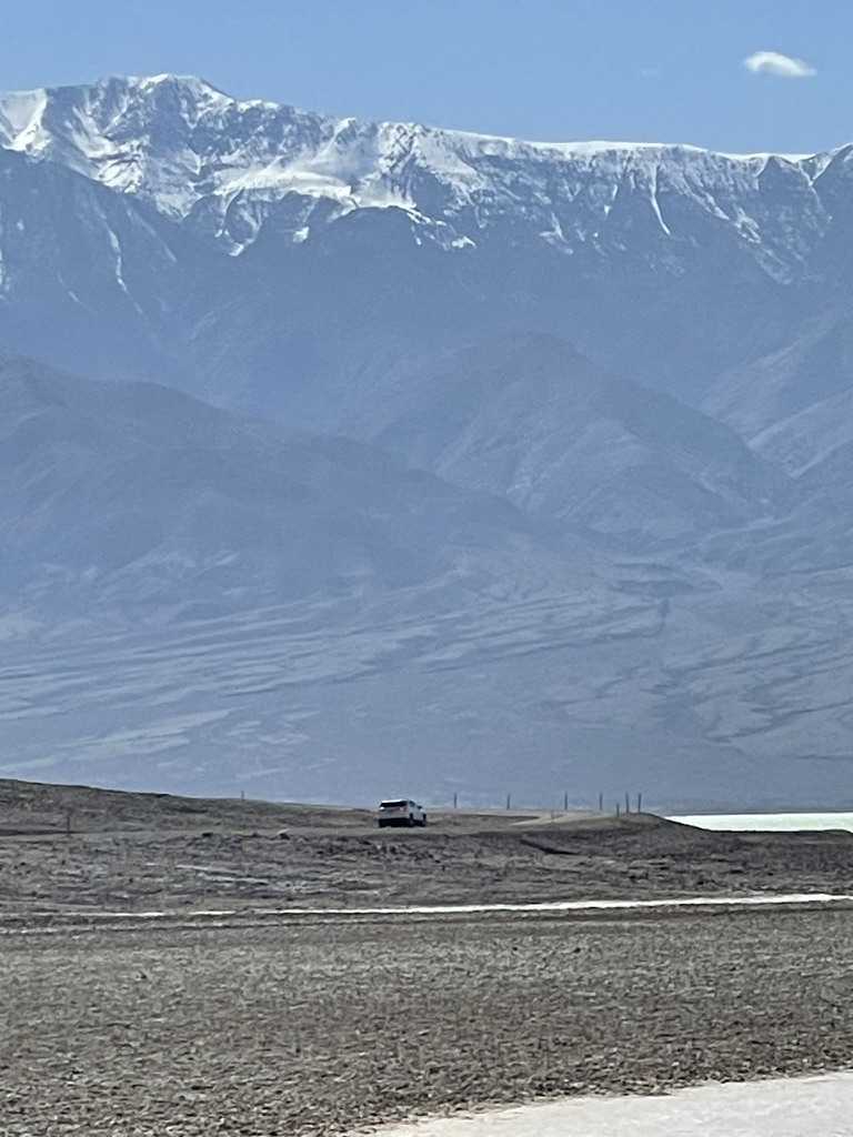
It’s sometimes hard to capture the scale of the vastness of terrain, especially that of Death Valley. Below is Telescope Peak from the east at 11.049 feet taken from 282 feet below sea level at Badwater with Manley Lake in middle-ish ground.
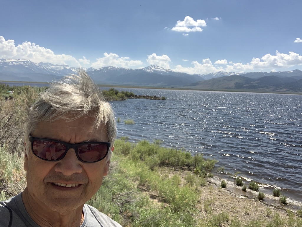
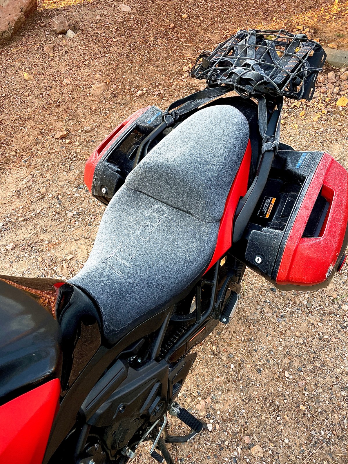
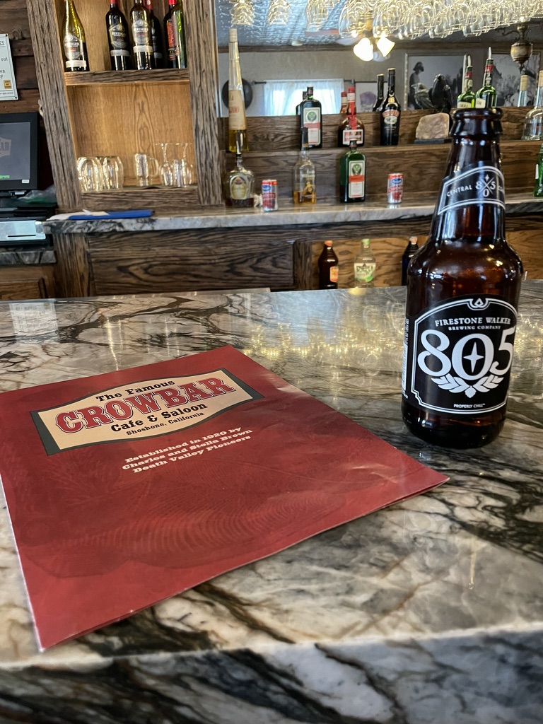
In no time we made our way on Badwater Rd to Jubilee Pass Rd, the continuation of CA-178 to CA-127 then south to The Shoshone Trailer RV Park. I’ve noted that Shoshone is one of our favorite destinations. The campground is perfect, the Crowbar has the best eats east of Trona and the Chas Brown Market can provide for all occasions including offering a geode for $2800. If I had space for it on the Guzzi, well, maybe. We settled on procuring beverages for the 3-R’s. I’ll ask my grandaughter how to take a selfie without looking at your trigger finger… The lens needs some attention.


Day 3, Shoshone to Red Rock Canyon National Conservation Area

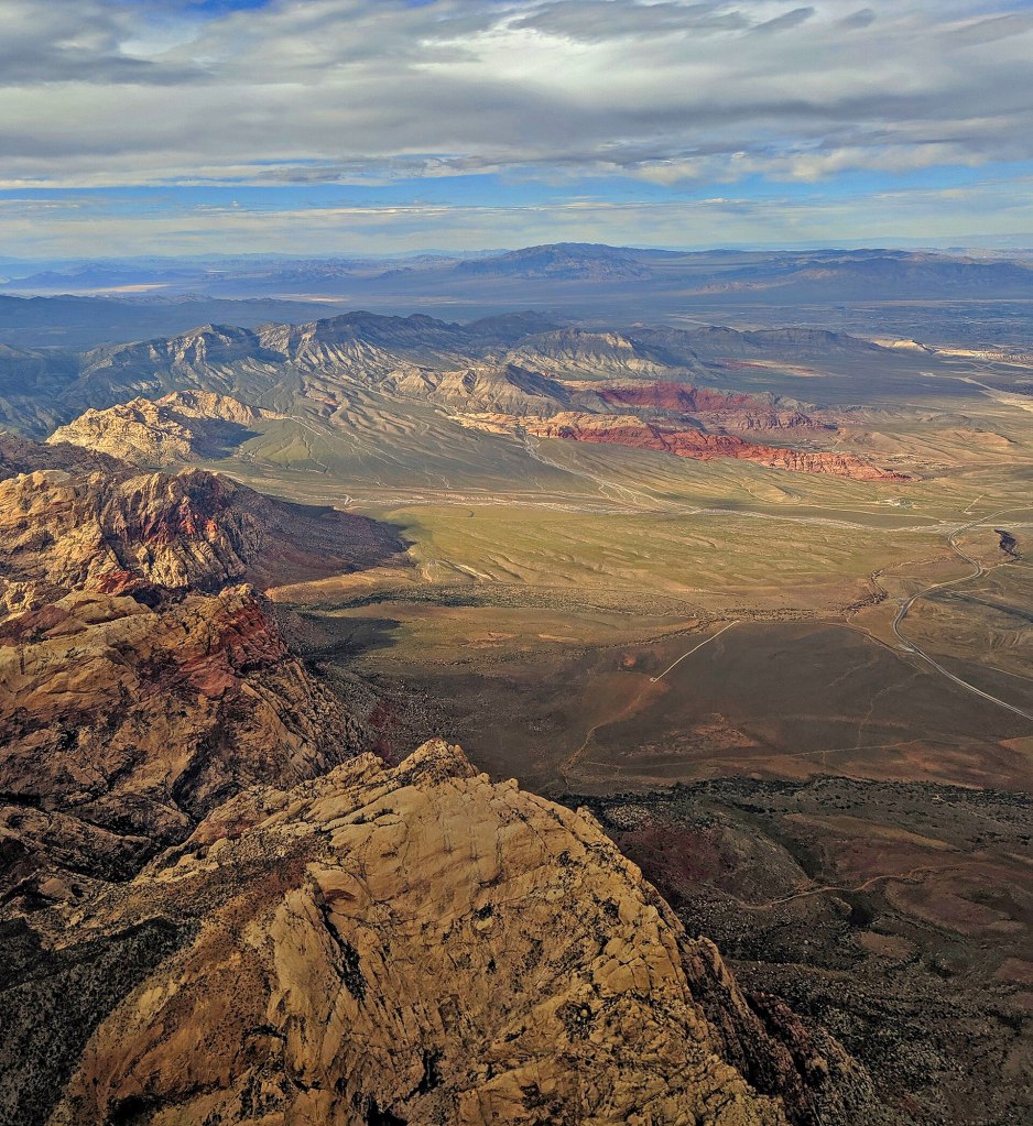
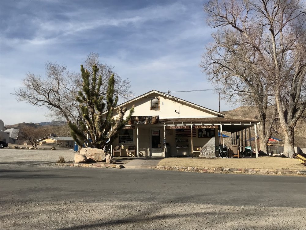
A short 86 miles to our next destination, the Nevada version of a Red Rock Canyon, commenced by heading east on the Old Spanish Trail Hwy. We soon learned there was no breakfast to be found until we reached Blue Diamond the nearest community serving the National Conservation Area. The community includes a park, private pool, library, elementary school, event hall, church, and a mercantile/gas station. The mercantile (general store) was built in 1942 and originally sold household staples and sundries to residents who were mostly miners at the Blue Diamond Mine. The store has maintained its original external look. Walls inside the store showcase many of the town’s historical photos, courtesy of the Blue Diamond Historical Society, an all-volunteer organization.


Cottonwood Station is a local scenic eatery in the historic village of Blue Diamond, minutes from Las Vegas. Near Red Rock Canyon and Spring Mountain Ranch State Park, Blue Diamond attracts many hikers, mountain bike riders, road cyclists, and guys on motorcycles, like us. There was, to our surprise, a large upscale Trek store next to the eatery. Drop by the Cottonwood Station for a latte while waiting for the wrenchers to adjust your electronic shifters and hydraulic brakes I reckon…
From Blue Diamond it was just a few miles to our campsite in the Red Rock Canyon NCA. After procuring a couple of whistle wetters at the Blue Diamond Market where the cashier shared that they would be closed by 5:00 because the owner didn’t want to pay her until 8:30, her preferred closing time, we strategized our dinner plans that would follow a tour of the Red Rock Canyon Loop. But first, a couple of whistle-wetters.


Didn’t make it to Las Vegas so we didn’t need to leave. But, life was so bright on a Tuesday afternoon…
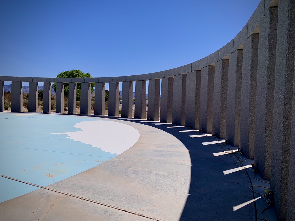
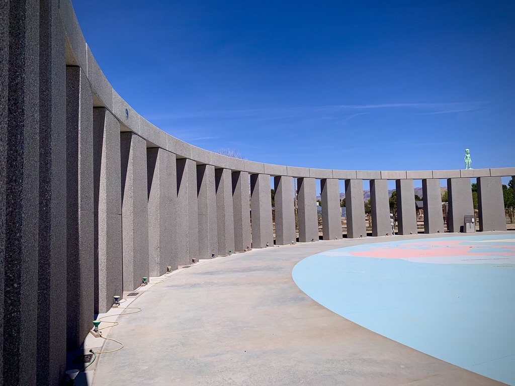
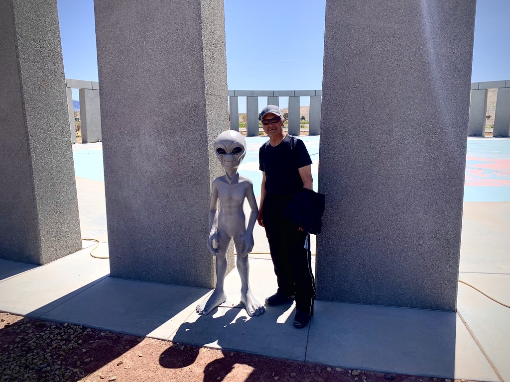
Dropping off our gear and setting up our tents, we headed for the park. We passed through an entrance station that boldly displayed a sign indicating reservations were required to enter the scenic loop through the canyon. I noted to the attendant that we had a campground reservation to which she replied that wasn’t enough. So, in my best, “You can’t possibly deny us entry into this fine geological feature of Nevada that would have to take second place to the okay geological feature of California that wasn’t even red if we cannot enter to determine its superiority” plea.
She asked if I had a park pass. I whipped out my National Parks and Federal Recreational Lands Senior Pass and with that she said, “That’s two dollars.” and waved me through.
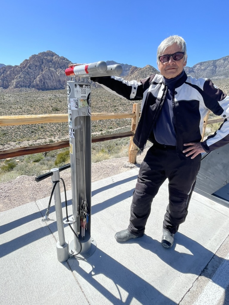
Nearly speechless, I thanked her, pressed once forward on my shift lever and moved to allow Pete to pass through. When he pulled up next to me he said that he had just paid $10 to get into the park. I later consoled him by acknowledging that his additional $8 contribution to the National Conservation Area helped to support the tricked out bicycle repair station that was installed in one of the turnouts. I assured him it was less than the latte back in Blue Diamond that he was supporting the people’s repair stand.

Always eager to make new acquaintances, I met Marlon Ma of Wu Tang Chinese Martial Arts Institute. He approached us admiring Ill Mio Rosso Bela, which, by the way, gets noticed far more than Pete’s V-Strom these days. When Pete first toured on his Triumph T120, my little Kawasexy Versys was hardly noticed despite its candy orange color scheme with matching panniers and drybags. It seems that everyone we would meet would get all misty-eyed recalling their love affair with a Triumph from yesteryear. No longer do we see misty-eyes but eyes of wonder and bewilderment as curiosity is voiced, “What’s a Moto Guzzi?”


Marlon was a sport bike guy who also owned a BMW and a Harley. I wasn’t going to hold that against him after I requested and he obligingly shared his first stance and move when encountering a foe that was in every way, vintage Bruce Lee. Marlon no longer lived in New York where he founded the Wu Tang Institute. He now lives in Las Vegas where, coincidentally, the Wu-Tang Clan can be found in their historic, first-ever Las Vegas residency, at The Theater at Virgin Hotels Las Vega Rolling Stone Wu-Tang Residency.


After moseying through the park loop, we made our way into Angel Park Ranch, a tony North Las Vegas zip code and found an Albertson’s to procure the evening victuals and, of course, the 3R beverages that would complement the grub as the relaxation, rehydration, and reflection hours awaiting.


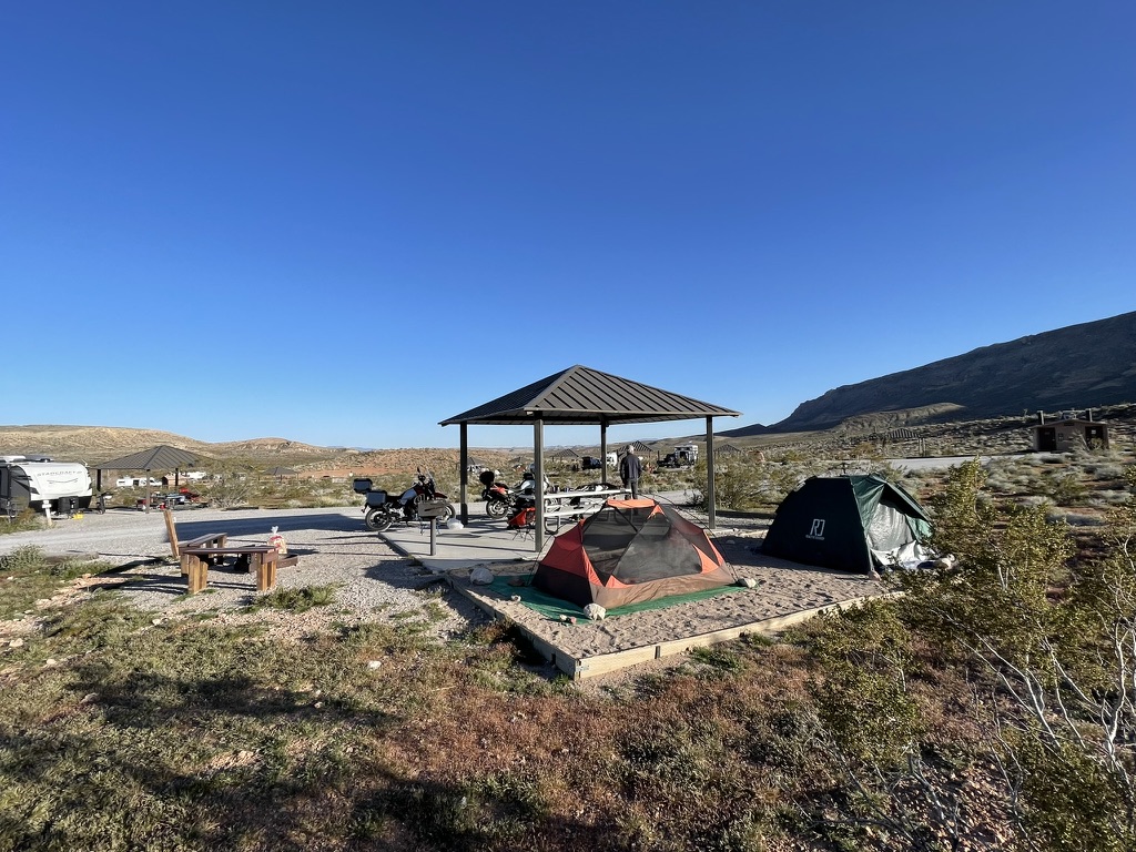

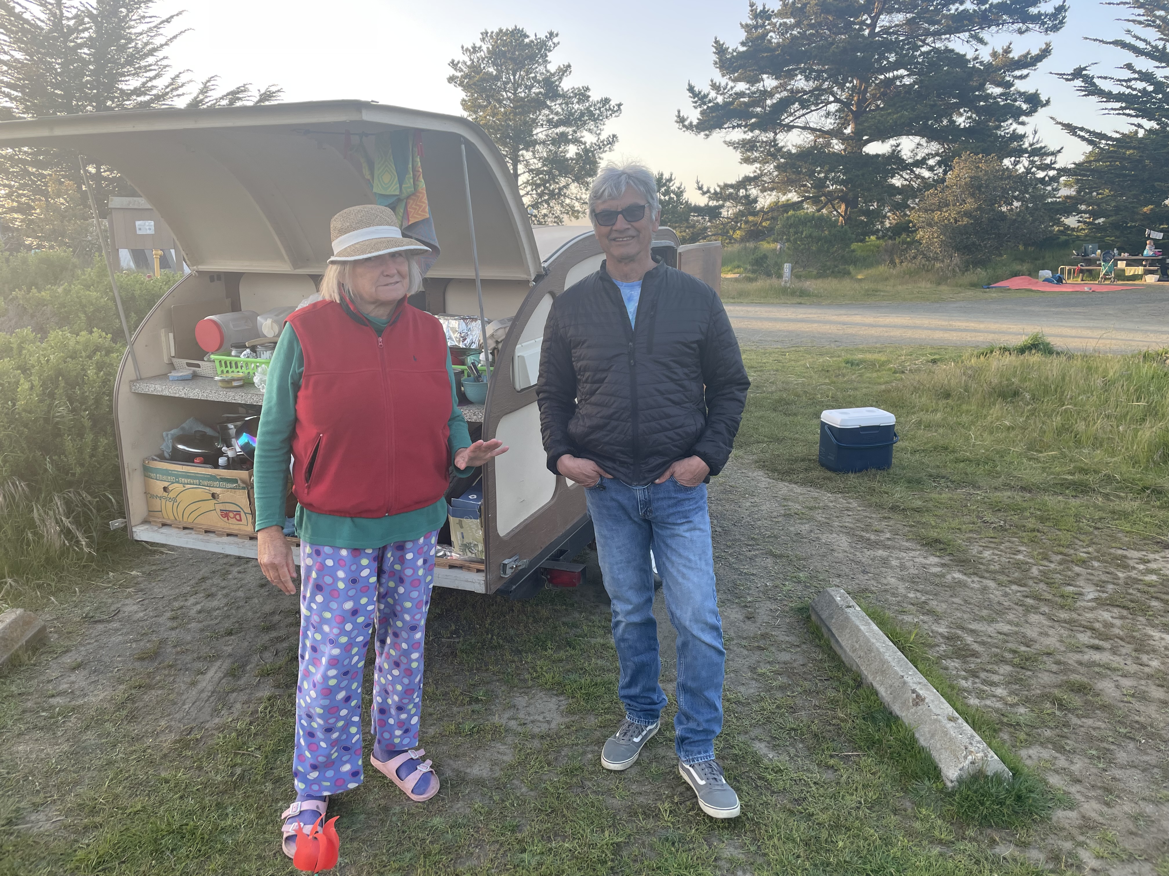
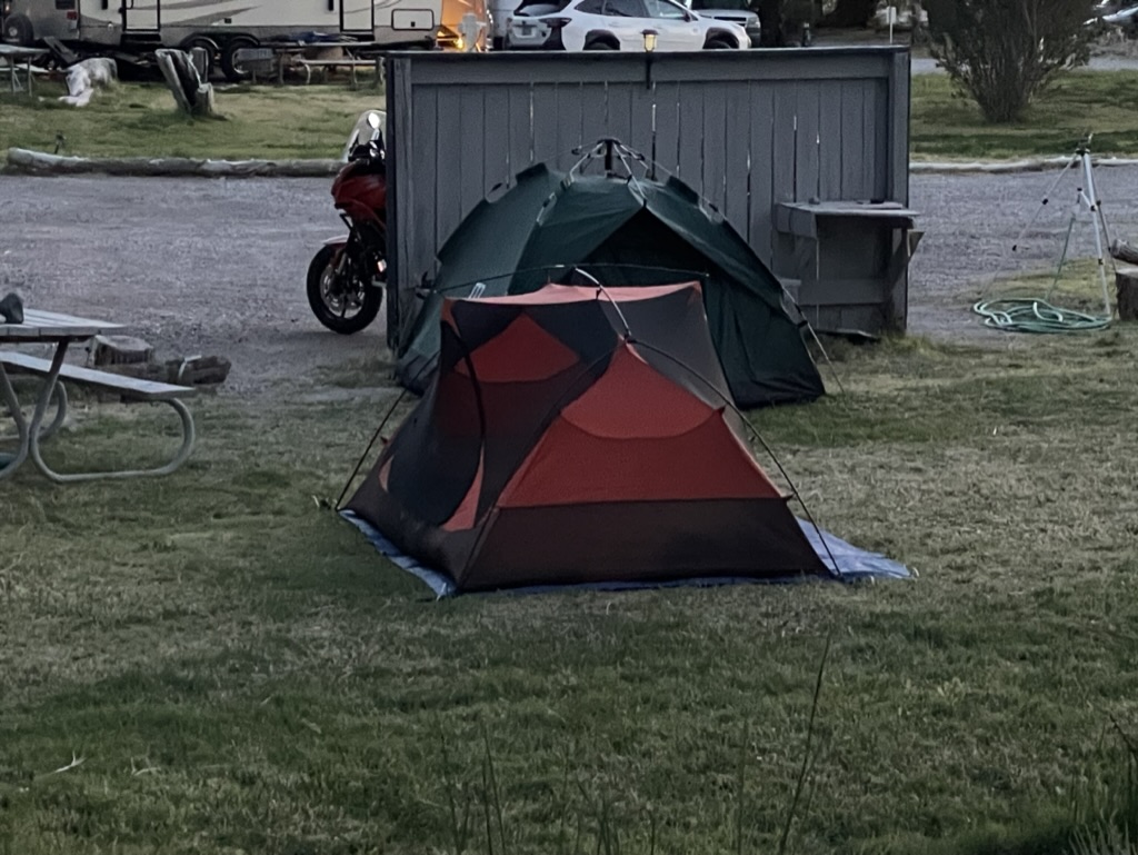
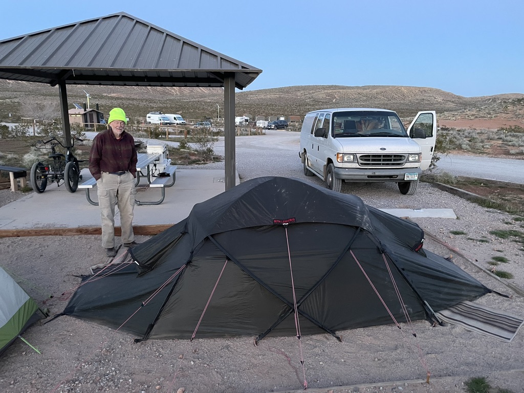
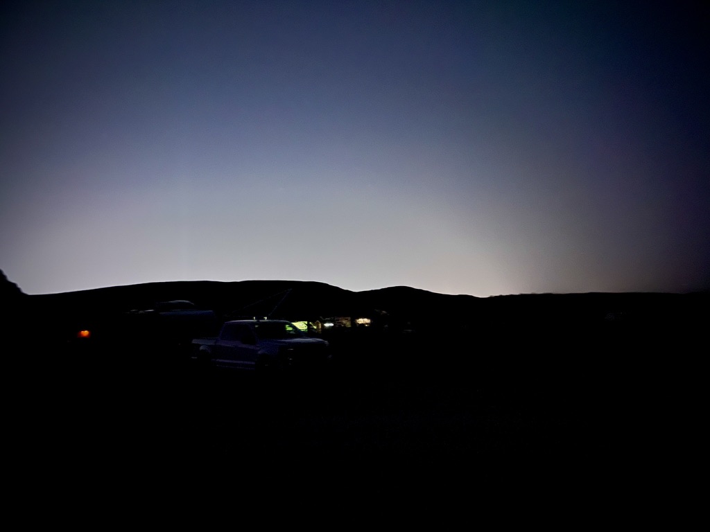
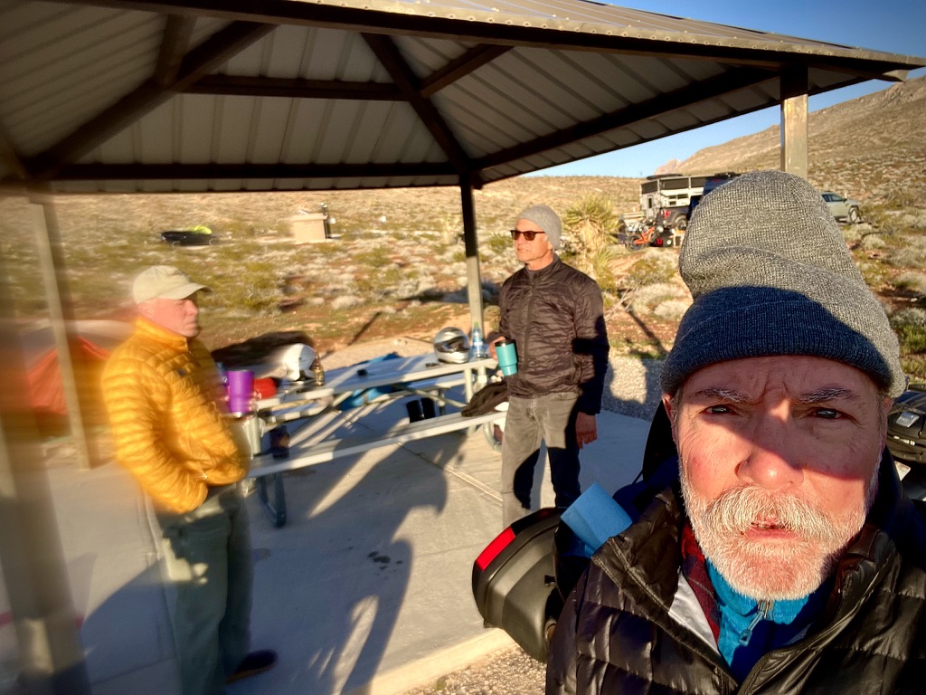
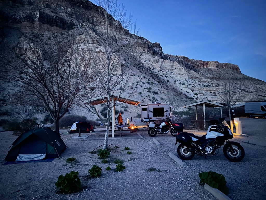
Descending the hillside, we ambled through the campground coming upon what appeared to be a tent worthy of gale force winds. Indeed, the gentleman who excitedly shared his tupik said that since he often camped in windy deserts, he found this Swedish Expedition Tent to be ideal. It was designed to withstand winds up to 70 mph. Though it looked somewhat complicated, he said it was a snap to set up. He had a luxurious mattress that covered the entire floor! No blustery tent flapping, rocky floor night’s sleep for this fellow. I guess he could have slept in his van, but if you’ve got a Hilleberg Tara why would you?
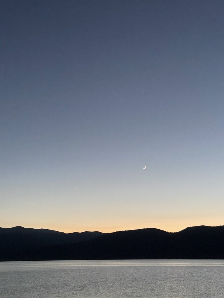
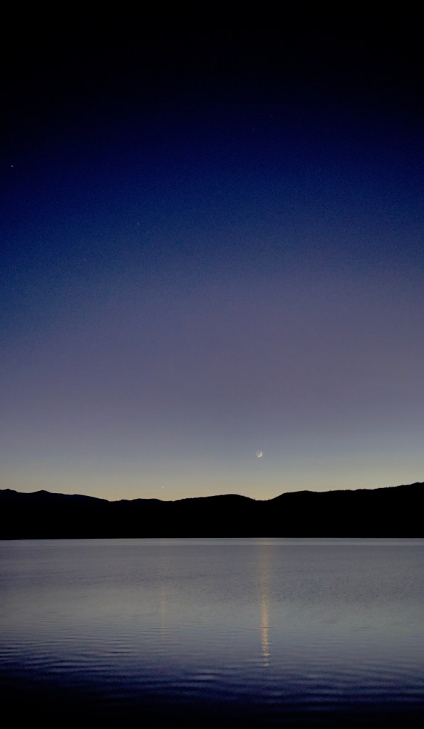
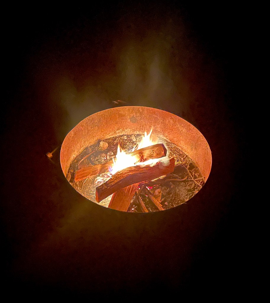
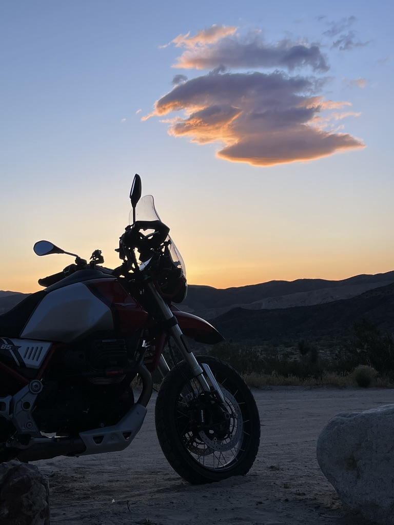
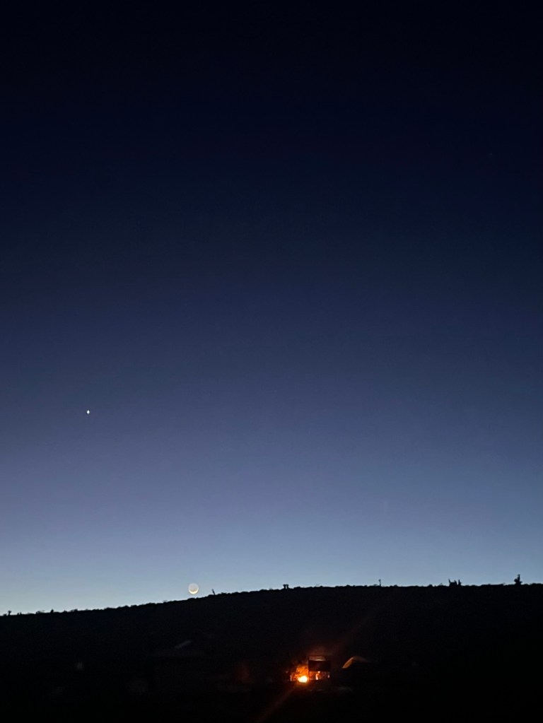
In the distance we could hear jet fighter aircraft, ostensibly from Nellis Air Force Base just a few miles to our east. As night fell, the maneuvering jets quieted having practiced their tactics, we kindled a fire and reflected as we relaxed and rehydrated viewing Jupiter and the waxing crescent moon.


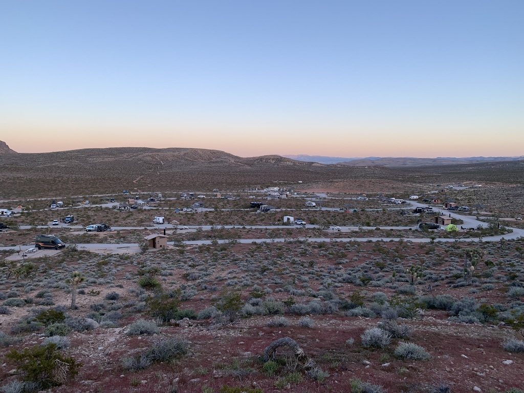
Good Morning Red Rock Canyon National Conservation Area!
Day 4, Red Rock Canyon to Caliente, NV
We’re accustomed to the sound of military aircraft doing tactical maneuvers as the former Castle Air Force Base is located near our hometown in Merced. The one-time Atwater Air Force installation was home to the U.S. Strategic Air Command, a part of America’s Cold War nuclear triangle. For a time a fighter squadron occupied the base too. With the base closure in 1995 the Strategic Air Command picked up and flew the coop. Nowadays there is a commercial pilot training facility, the Castle Air Museum, UC Merced facilities, the U.S. Penitentiary Atwater, along with other portions leased to Google for development of self-driving technologies (known as Waymo), the County Animal Shelter, and a few local businesses including a brewery, The Tarmac. The fighter jet scream was familiar.
We made our way east through North Las Vegas on NV-604, avoiding I-15, skirting the Las Vegas Motor Speedway and Nellis Air Force Base, home of the USAF Thunderbirds. As noted, all the previous afternoon into the night and the following morning we heard the distant thunder of aircraft, most likely fighter jets, perhaps even the Thunderbirds, working on maneuvers, tactical or otherwise…
Satisfying our machine’s thirst for fuel, we decided to save time and look to the Loves Fueling Center store to select a “delightful” Loves Fueling Center breakfast that we ended up eating in a dog park. Rushing through a fruit cup and blueberry yogurt, we then headed up US-93, the Great Basin Highway, to our next destination the Kershaw-Ryan State Park near Caliente, Nevada.


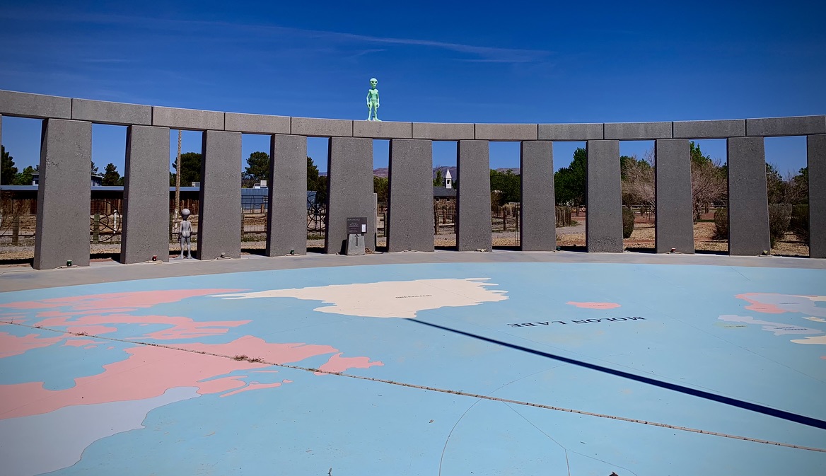
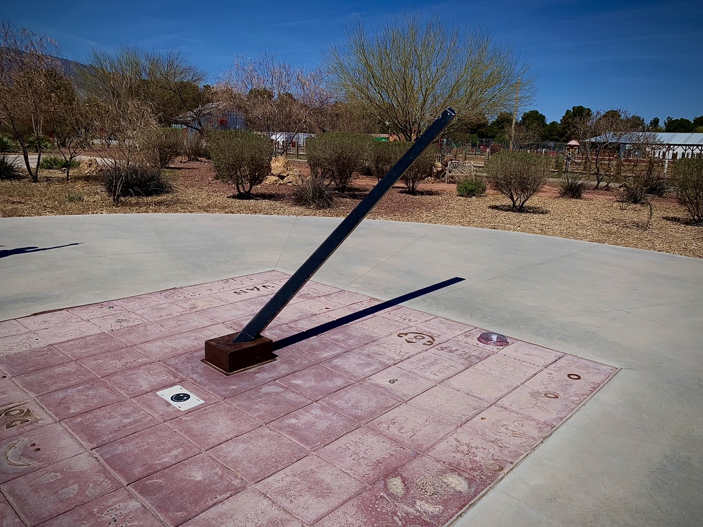
Back when considering the route, searching maps on the interwebs, taking those first steps on this journey of a thousand miles, I happened upon an Atlas Obscura Article about an interesting property next to the Western Elite Landfill that serves Las Vegas. It’s known as RyanHenge. This Stonehenge-inspired solar calendar stands alongside a landfill, in the middle of the Nevada desert. Along with the replica of the ancient Neolithic henge monument in Wiltshire, England with a twist, can be found beautifully restored rail cars once used by Teddy Roosevelt, Annie Oakley, and Wild Bill Cody. There are other vintage vehicles and an interesting collection of animals at the site, including a camel.


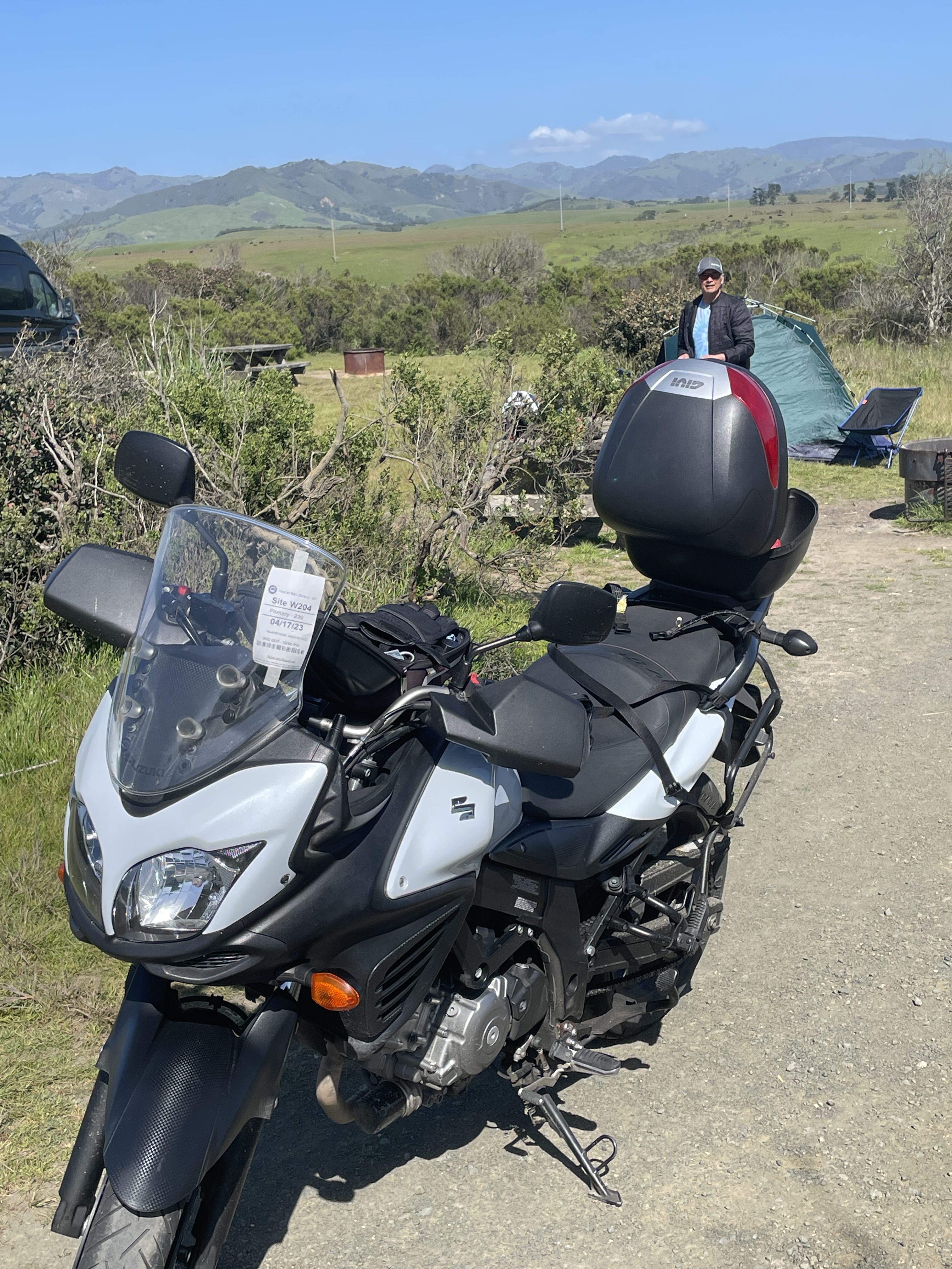
Arriving at our campground at the Kershaw-Ryan State Park, yet another novel feature of this ride of the familiar and the unique satisfied, we were disappointed to find our reserved campsite was occupied by a monster motorhome of the lumbering mastodon sort. We knocked about trying to find a ranger and searched for an alternative site checking to see if any of the reservation tags indicated a vacancy for the night. Finally, we did see that the Ranger’s vehicle was at the entrance and so it was fitting to tell him the tale of our misfortune. It all began with a faulty 404 error on the Nevada State Parks Reservation system…

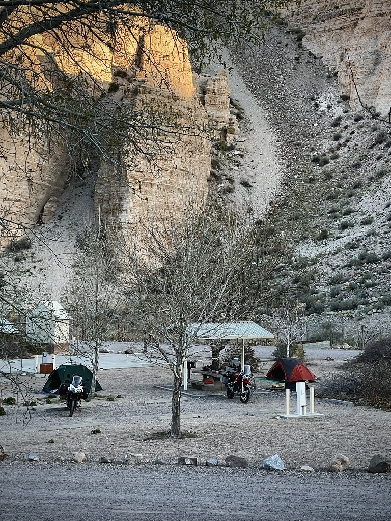
Situated in a colorful canyon, with towering walls up to 700 feet high and a long, verdant valley in between, Kershaw-Ryan State Park is an oasis in the desert, a sharp contrast to the rugged landscape that surrounds it. Natural springs grow a garden of wild grapevines, white oaks, fruit trees and willows, and a spring-fed pond provides a refreshing children’s wading pool. It is not unusual to see wild horses, deer, and other wildlife come to the water. (From the KRSP website that worked…)
Back in early March I was unable to make the reservation on-line due to a glitch on the Nevada State Parks Reservation website. So I called the Parks HQ in Carson City making the reservation over the phone. The delightful parks employee I spoke with assured me that she would send a confirmation email for the site, post haste. Two days later no such email had appeared. I checked the spam folder: nada. I called back to get a different parks employee at the Carson City office who said that her computer was down (hmmm) but that she would check and resend the reservation confirmation by way of email. Just in case, I requested the site and confirmation numbers from her. A few moments later, she gave me the site number, 10. I never received that promised confirmation but my credit card had been charged. I figured that was good enough.
I explained all of this to the very helpful Ranger Evan who was on a Zoom meeting but happily left the call to check his records. I had arranged for one night at the campground. He shared his paper reservation roster that indicated that I had reserved a primitive campsite for 6 days. What-what?! He thought that unusual since they never reserved primitive sites, they were on a first-come first camp basis and besides the fee charged was $60 instead of the $10 single night fee. I was actually charged $25. What-what?!
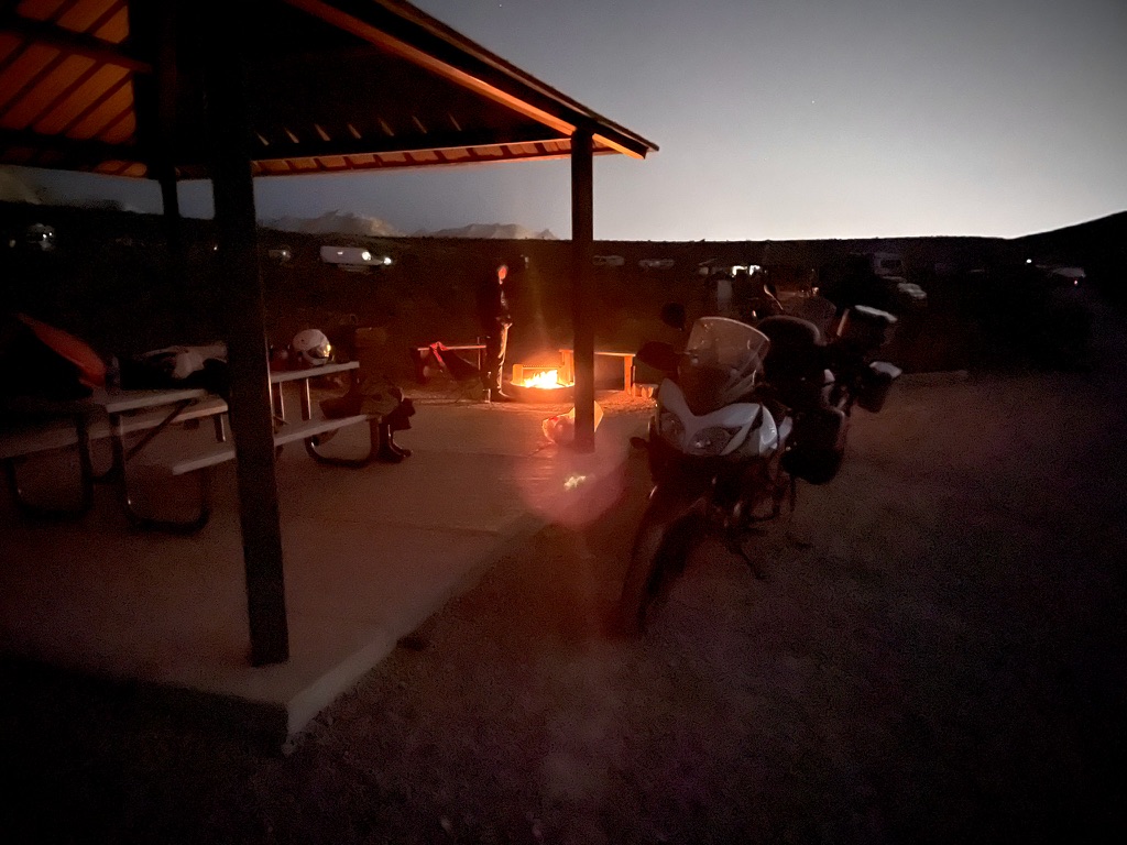
The remedy was that he handed us the reservation list and said that several sites were available for the night that were reserved for the next couple of nights. He wink-wink, nod-nodded us commenting on the frequency of glitches on the Nevada State Parks Reservation system. He was of the opinion that a cheaper, less robust system was purchased by the State and that was the cause of all of the errors. Alas, a campsite would be found, tents would be pitched, and we would head into Caliente for dinner and 3-R’s provisions.

Just as we departed the entrance shack with roster in hand to select our homestead for the night, an interesting “conversation” piece rolled up, right out of the Black Rock Playa… When I stepped up to the pick-up towing this unique trailer, I inquired, “That’s quite the conversation piece ya have there,” to which a passenger replied, “So you wanna have a conversation?” with a British accent.
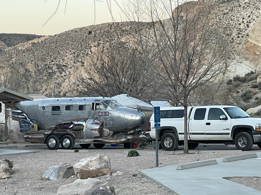
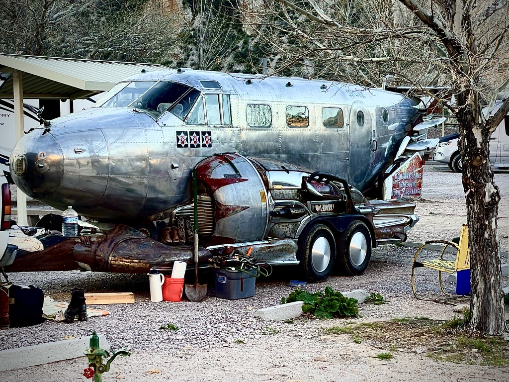


If there’s something that looks a little familiar about this aircraft converted into a Traveling Robot Orphanage by Montana Slim, well look no further…
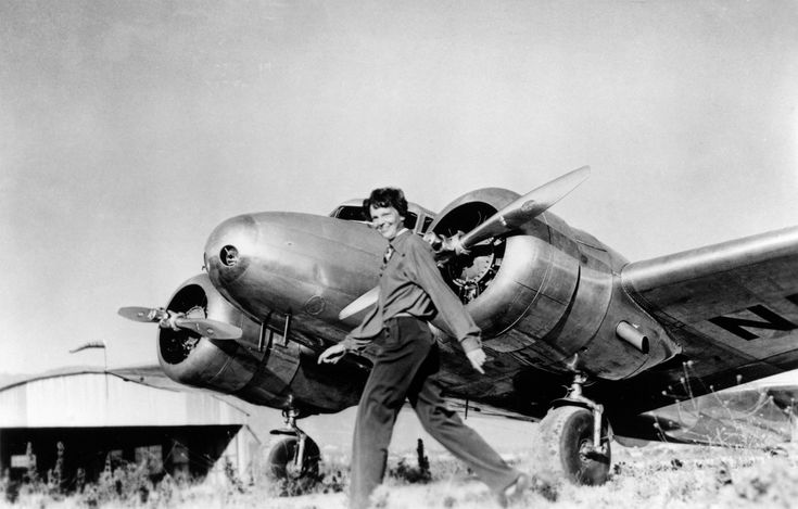
Amelia Earhart disappeared over the South Pacific in a Lockeed Model 10 Electra. Montana Slim’s plane is a Beechcraft Model 18. Though they look alike, there were only 149 Lockheed Model 10 Electras made primarily in the 1930’s. There were 9,000+ Beechcraft Model 18 manufactured from 1937 – 1970. (Thanks for the checked facts Wiki…)

The plane that’s full of graffiti at the brothel is the same plane as Montana Slim’s a.k.a. Sean Gurrero, a Beechcraft C-18. Check out artist Sean Gurrero’s work:
Montana Slim, aka Sean Gurrero or @seangurreroart Instagram
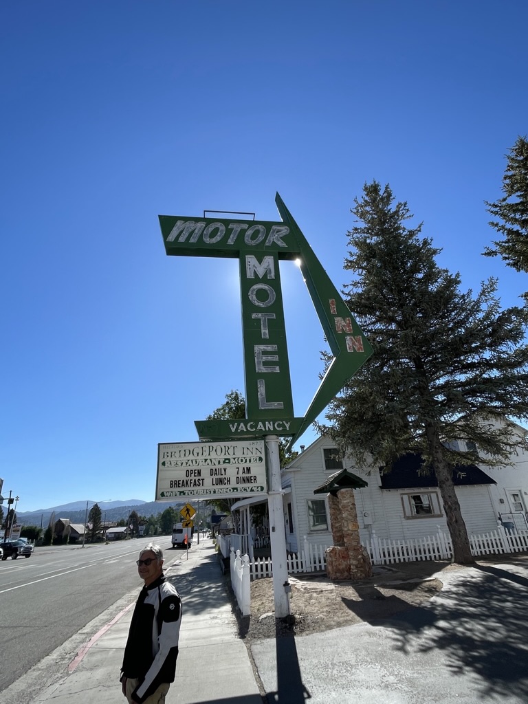
After a fine dinner at The Side Track Restaurant in the rail town of Caliente, Nevada, a charming and remote ciudad pequeña in the Great Basin of Nevada, we took a quick tour of the burgh as we made our way back to our campsite. We came upon a restored/updated motel Pete had stayed in some decades ago, formerly the Midway Motel, now known as Patty’s Motel. We met the proprietor, Patty, who seemed quite cordial inviting us to check out the venue.
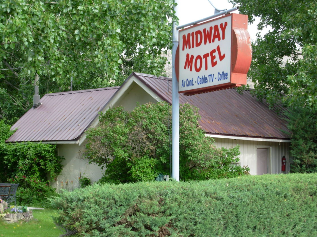

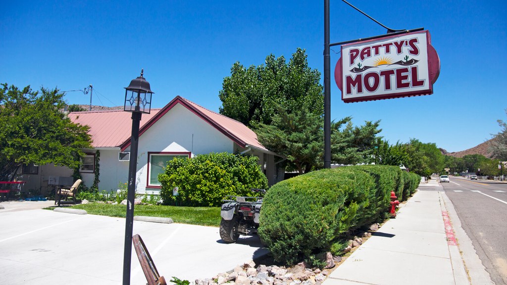
We declined Patty’s invitation to stay as we were camping, however, this property is on the checklist for our next Nevada ramble! Mixing a little of the new with the familiar, I say…


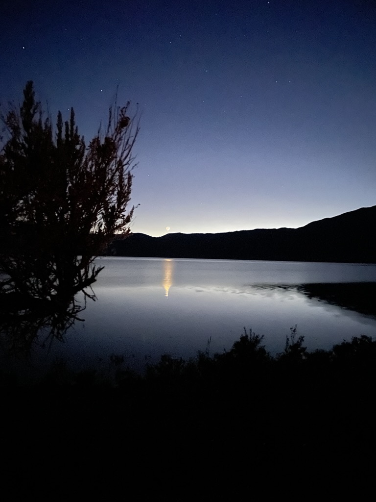
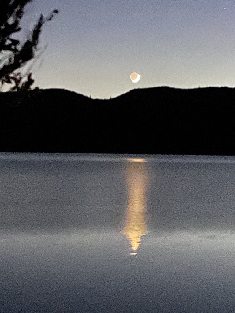
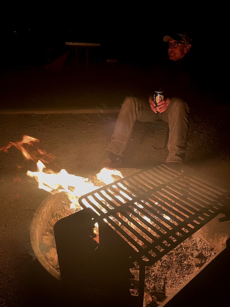
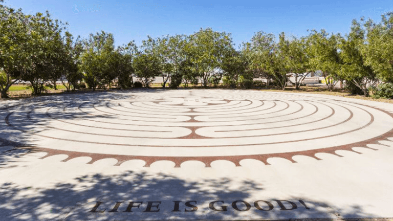
Another evening around the campfire, relaxing, reflecting, rehydrating and knowing our skies are safe! True to the labyrinth in RyanHenge, Life is Good!
Day 5, Caliente to Panamint Springs


Another gas station fuel-up at Dino’s Sinclair for the bike and a breakfast of cranberry juice and a Kind Bar for the pilot began the long 350 miles across what would be increasingly warm, from the mild spring weather we had thus far enjoyed, speedfest across Nevada.

This was to have been our longest day, riding some 350 miles from Caliente on the Extraterrestrial Highway, NV-375, through Rachel dropping by the Little A’Le’Inn for a whistle wetting ginger ale and to drop off the morning rental coffee.

From Rachel it was on to Warm Springs on US-6, then to Tonopah where at a stop at the Beans and Brews Coffee House for a turkey croissant samie and RedBull light, we met a fellow on a well traveled DR 650 Suzuki who had made it from Ushuaia, the capital of Tierra del Fuego in Argentina to Tonopah on an epic ramble. Except for shipping his bike from Brazil to San Diego skipping the Darién Gap, he was on a circuitous route back to his home in Salt Lake City after months on the road. He was by all accounts road weary, but given his youthfulness and efficient looking rig, I’m sure the final miles to Salt Lake City would be a fly by.
From Tonopah it was down US-95 through Goldfield, past the shuttered Angel’s Ladies Brothel outside of Beatty.
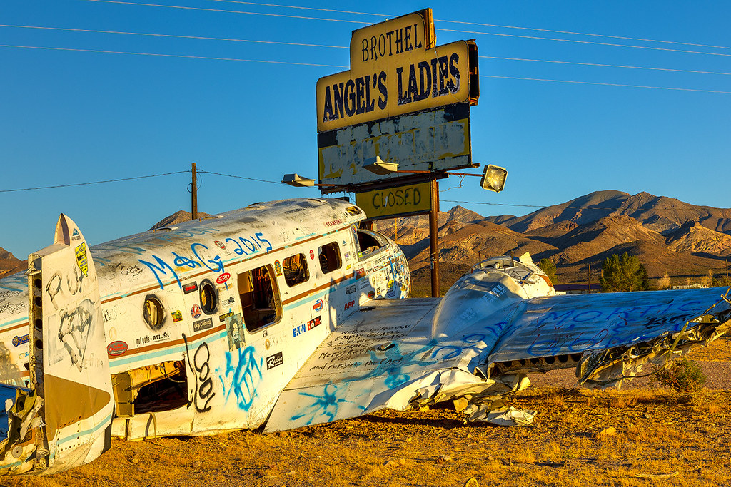
The Interesting Case Of The Abandoned Aircraft And The Brothel
Angel’s Ladies was a 5,000-square-foot legal brothel situated on a 70-acre ranch which was located three miles north of Beatty, Nevada. It was known as Fran’s Star Ranch until it was renamed Angel’s Ladies in 1997 after being purchased by Mack and Angel Moore. It has been closed since August 2014. Prior to the 1970s, the brothel had been known variously as Circle C Ranch and Vickie’s Star Ranch. On May 28, 1977, an accident during a promotional stunt on the property resulted in the crash of a twin-engined light aircraft. The wreck has been located next to the brothel’s billboard ever since, and used as a spectacle to attract customers from the road. Mack Moore attempted to sell Angel’s Ladies in 2007, but ended up taking it over again two years later as a result of foreclosure. He subsequently sold the business again in 2010, this time for $1.8 million, and continued to run it as a leaseholder. On 10 August 2014 he retired and closed the business. (Thanks Wiki…)
I digress. Then it was west through Rhyolite (see Sisyphus and Associates Tour Rhyolite) and Daylight Pass Road into Death Valley with a quick stop in Stovepipe Wells to shed some insulation and enjoy a RedBull Light and some conversation with the proud parents of an Australian Cattle Dog, like my very own, SoBe. The trio was traveling in Death Valley from their home near Huntington Lake. I’ve written about rambles through all of the places in this segment of our ramble in previous postings in my Much Ado About Nada website, Sisyphus and Associates if you’d care to check them out. Maybe someday I can bring SoBe along on one of these rambles as a most welcomed associate…
It seems we would be just in time for the hottest part of the day when crossing Death Valley. If it weren’t for the heavy ATGATT (All The Gear All The Time) the mercury nearing the 90 degree mark when we descended into Stovepipe Wells wouldn’t have seemed fifteen degrees warmer. Visions of a cool beverage took the place of the distortion of light by alternate layers of hot and cool air as wishfulness overtook an optical illusion induced mirage…

Since this trip of a thousand miles was a blending of new roads to ramble with some of our favorite, greatest hits destinations, you can’t travel through Death Valley and not stop at Panamint Springs, just outside of the park on CA-190.
Panamint Springs Resort is a small, rustic, western-style, resort located in beautiful Panamint Valley in Death Valley National Park that provides lodging, camping and RV services, a restaurant and bar, and a gas station with a well stocked general store. (Thanks PSR…)
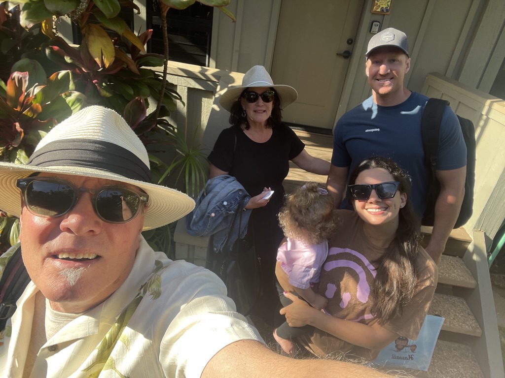
Just as the refreshing beverage was beginning to sate our thirst, a young mom, with a newborn strapped to her by way of a front sling, walked up the steps to the Panamint Store. I had to acknowledge how wonderful it was to see the little one getting exposed to a desert adventure. Only a few weeks old, the proud mom said that she had already been to three national parks! About the same time the woman’s mother walked up and lo and behold the conversation revealed that I began my career teaching with her mother who was at the end of hers. Furthermore, the young mom was the daughter of a rancher I knew back home. So, Kevin Bacon, beat that… two degrees of separation.
Now, I imagine for most people, when the word “resort” is used to describe a setting, this might not be what their imagination congers. I, on the other hand, could not imagine a more fitting word, defined as: a place to which people frequently or generally go for relaxation or pleasure, especially one providing rest and recreation facilities for vacationers. It ain’t the Furnace Creek Inn, but for my money, it’s every bit as satisfying! There could be fewer rocks in the campground, but alas, it’s the desert and what would the desert be without rocks?

No braying burros or noisy Boy Scouts or laughing religious retreaters from our last stay at the resort keeping us up throughout the night: Panamint Spring 2023
Day 6, Panamint Springs back Home
What was to be either a route to Kernville or Three Rivers adding another night to a sixth day’s travel, was now subject to a brewing spring downpour in the forecast for the following Saturday. So we decided to ride some 360 miles after a longish 350 mile day across Nevada from Panamint Springs back to our homes in Merced on our sixth of seven planned days, Friday.

We decided to ride like the wind (except it was into the wind) retracing our route back on CA-190 south to Trona for a last breakfast at Esparza’s.

I’ve written in the past about how Pete’s metabolism is remarkable. Pete had eggs, bacon, sausage, hash browns, biscuits and gravy. My chili verde was superb! I gained weight on the trip. Pete lost weight…
There was no eclipse to regale this day but we did meet a local fellow who was a resident of Trona for some 20+ years. When Pete asked what it was like living in Trona he replied that it was all right, that there wasn’t much to do, and he said that he had “caught cancer” and was in need of chemotherapy, which, not surprisingly, wasn’t available in Trona. We assumed he worked in the mineral extraction business, but who knows, living in Trona on the shores of Searles Lake is perhaps carcinogenic itself. We bid him blessings and the best of luck as we headed south to Ridgecrest.
From Trona not far south on the way to Ridgecrest on CA-178 you’ll find an interesting geological feature, The Fish Rocks.
Passing through Ridgecrest, we hopped on to CA-14 south for a few miles before heading west CA-178 over Walker Pass, a reprisal of our first day’s route of this Red Rock Canyons Ramble. Figuring the pass (el. 5,250 feet) would be a bit nippy, we insulated up. It would be at Hart Lake Memorial Park just north of Bakersfield where we stopped for fuel and swallow a RedBull Light that we de-insulated as the valley temperatures were rising.

Saturday in the park, I think it was the Fourth of July… No, wait, it was Friday, April 12. We were in a park though…
North through Oildale, east to Shafter, north on CA-43 through Myricks Corner, Wasco, Neufeld, Elmo, Pond, Kernell, Allensworth, Angiola, past the Tule River Viaduct, Corcoran, Hamblin/Hanford, zig-zagging by way of the GPS through Caruthers, Raisin City, Rolinda, Kerman, Ripperdan, Parkwood, to the Pilot Travel Center on Ave 181/2 where I pulled over for fuel, but was talked out of it by Pete who was tired of stop signs every couple of miles and traffic backed up due to road construction. It had been slow going and was pretty warm, especially having to stop-and-go on several segments of the route.
I had just about enough fuel to make it home and so he compelled me to jump on CA-99, against my better judgment and where at the CA-152 and Hwy 99 exchange we were nearly run off the road by an indecisive cager who did a multi-lane change confused by the left lane exit to Los Banos and the through route north on CA-99, cutting us off and driving us to the shoulder of the road.
At that point, Pete led us to the LeGrand exit where we once again zig-zagged merrily on county roads with little traffic the rest of the way to the security and comfort of our family, pets, and homes.
Epilogue
I began this post by acknowledging that a journey of a thousand (and 212±) miles starts with the first step. For me the first step is in imagining how I might recreate the cheer and satisfaction achieved on all of the other rides I’ve chronicled while recognizing that the balance of the familiar with the unknown and how it brings the greatest ROI. I guess that as a geezer, I enjoy seasoning travel with a sprinkle of sentiment being careful not to overdo it by marinating in nostalgia.
At the same time, I reckon I’ve lost the desire to just hang it all out there and come what may, ride with abandon as I know it’s tougher to assemble a coherent narrative without taking the time to immerse in the adventure. Since on most of these rides, despite being retired and relatively free to ramble, the calendar no longer waits for procrastination or indecision. Hence, we return to the familiar to glean from the present what we overlooked in the past. As for the unknown, there’s always satisfying our curiosity with the novel, offbeat, unique, or strange. Take for instance RyanHenge or Montana Slim’s Traveling Robot Orphanage, not something you come across on a given day.
And as the calendar waits for no hesitation to plan the next moto adventure or my increasingly fidgety travel lust only marginally deteriorating with the specter of another night in a rocky, blustery, and frigid campsite or a smoke filled, sweltering, torturous lonesome highway, I can’t wait to begin planning the next, and perhaps, most epic ride. I think the next one will head north as spring meanders toward summer and where a volcano or two, some redwoods and rivers, and maybe a “popularly priced” motel populates the route. Maybe the forest floor duff will erase the memory of a stoney desert floor and we’ll hybridize our accommodations on this next foray.
As always, stay tuned for Sisyphus and his Associates next episode. Hey, just drop a line if you’d like to join us…

Cheers!