September 2025
What does a lost wallet, Coors Light, more cows than people, and Theodore Douglas Willer have to do with an epic adventure?
I, as SisyphusDW7 (my nom de plume), posted Chasing the Perseid’s; An August 2025 Ramble in the Sierra. The ride was a warmup for our fourth ramble of 2025 as we plotted a seven day, six night tour of the Ruby Mountains in Northeastern Nevada.
With a taste of the billions of galaxies filled with billions of stars as viewed from the Sierra, I figured there was at least as much to view in northeastern Nevada, notwithstanding a full moon, and so the plan to ramble to the Ruby Mountains began to take shape.
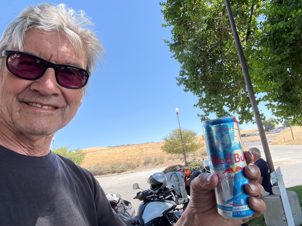
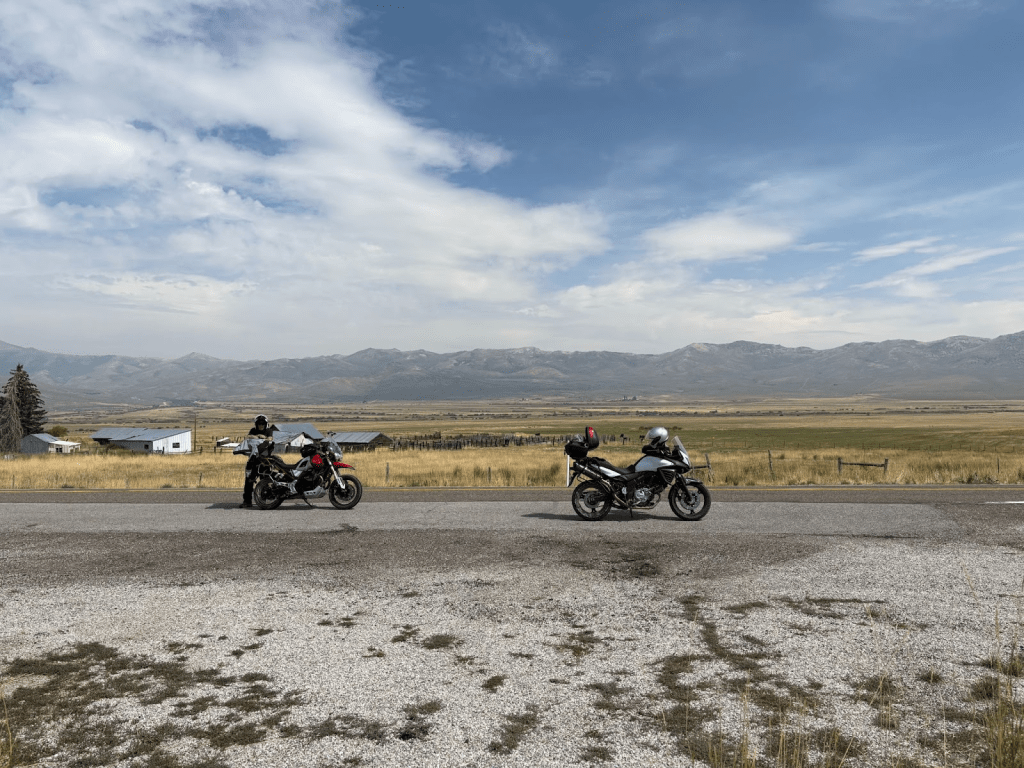
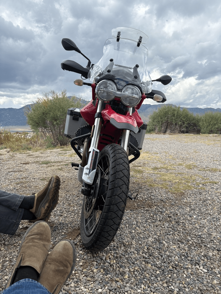
Sisyphus was aboard Bella Rossa, a Moto Guzzi V-85TT and his associate Pete was on his Suzuki V-Strom. Pete’s not as romantic as Sisyphus and so his moto is nameless. His imagination an appetite makes up for any other deficiencies.
We packed up and departed on September 7 venturing forth on CA-140/CA-120 bound for a Sierra crossing at Tioga Pass. I’ll use excerpts from the itinerary to introduce the daily “chapters” of the ramble.
Day 1 / Sunday Sept 7 – Merced to Fallon, NV
Merced to Fallon, NV ~284 miles
- From US-395 take CA-182 (Sweetwater Rd) in Bridgeport to NV-338 to junction with NV-208 near Smith Valley to the junction of NV-208/NV-339.
- Continue on NV-339 through Yerington to the junction with US-95 to Silver Springs.
- From Silver Springs, ~26 miles to Fallon on US-50
- Reservation at the Super8 by Wyndham
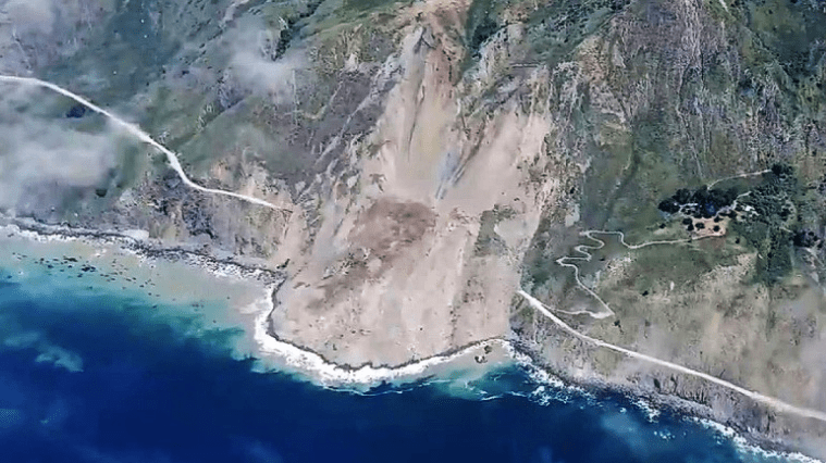
Tioga Pass or CA-120 is a familiar Sierra crossing. Along with Sonora Pass (CA-108), Sherman Pass (Forest Rte 22S05), and Walker Pass (CA-178) we have seasonal options. In winter Tioga, Sonora, Sherman Passes are closed with the first winter storms. Walker Pass in Kern County will occasionally close in winter due to snow and regardless of weather, it beats crossing the summit in Tehachapi (CA-58) which is a major commerce route from Bakersfield to the Mojave, US-395, and Interstates 15 to Las Vegas and and I-40, the offspring of Route 66, The Mother Road, all featured in previous rambles on my blog, sisyphusdw7.com .
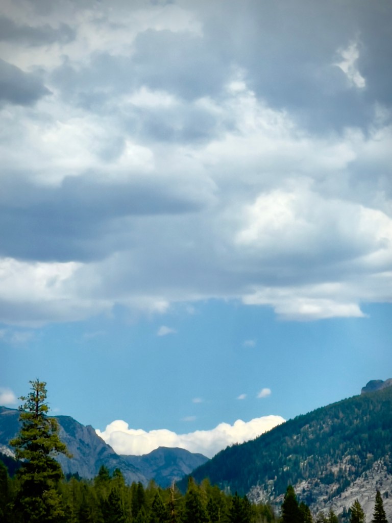
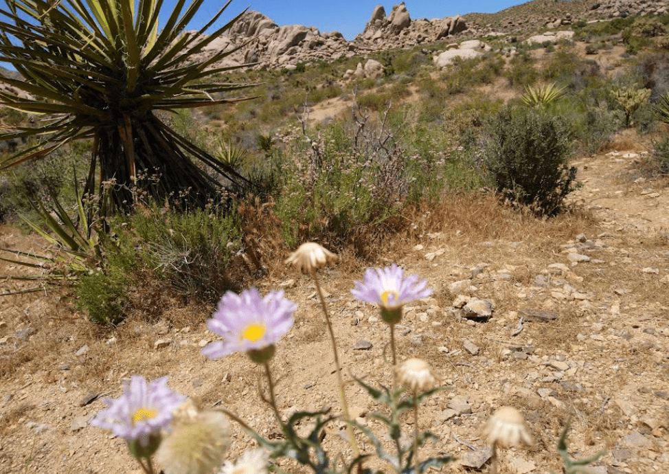
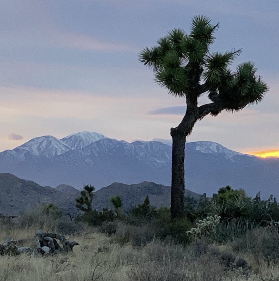
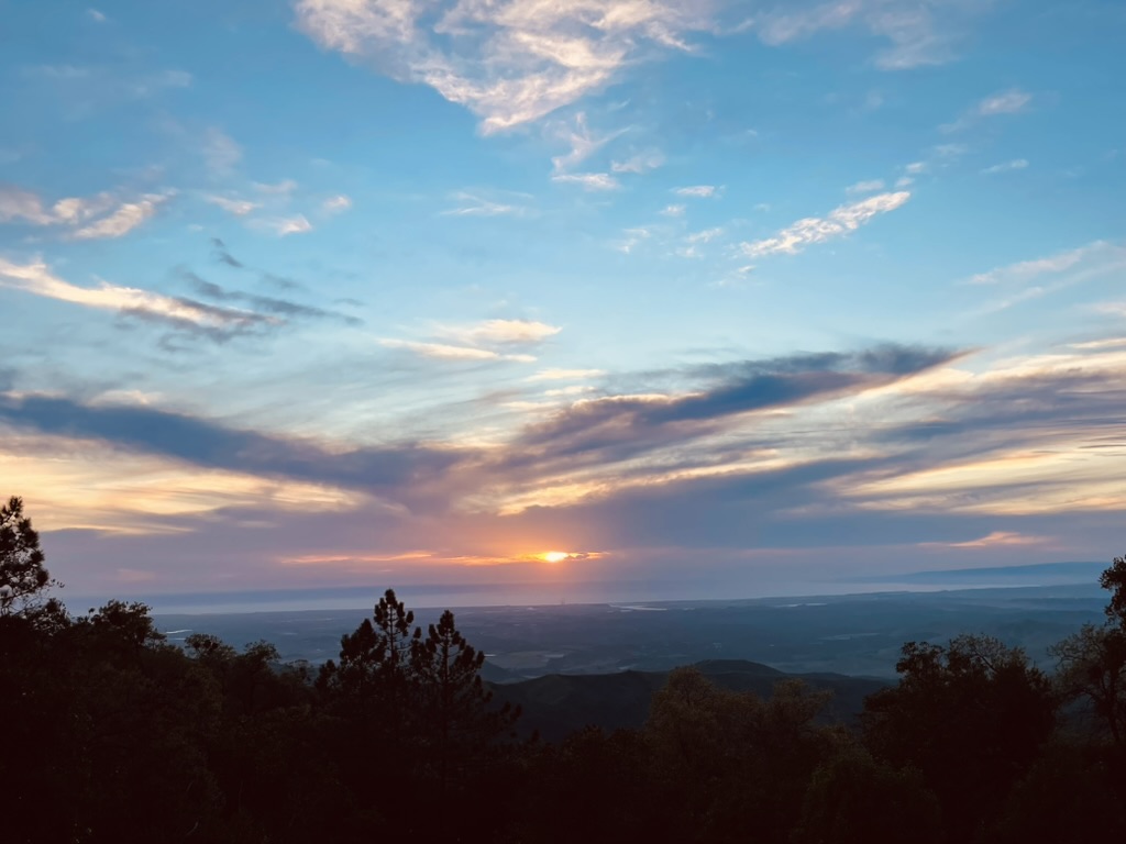
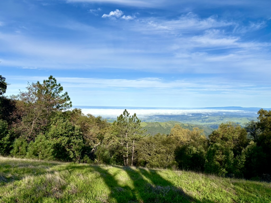
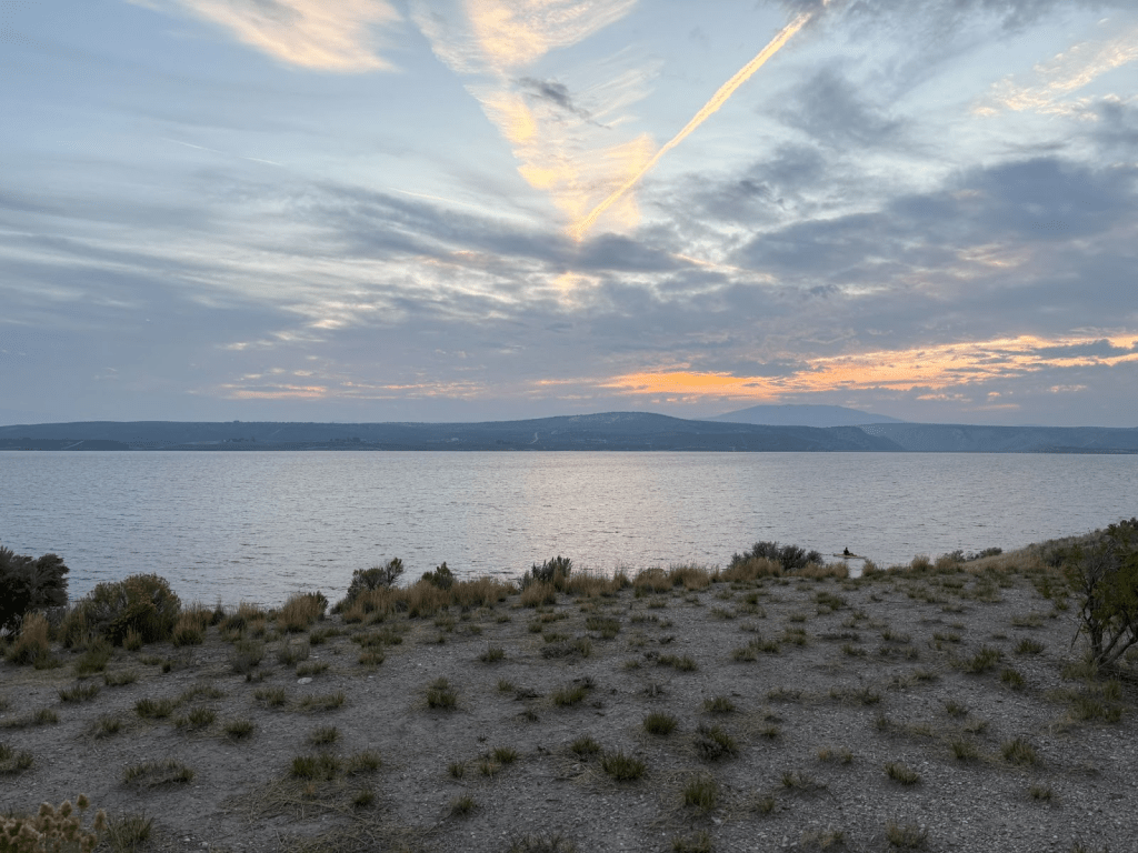
The vistas up Tioga Pass were somewhat obscured by smoke from wildfires burning in the Western Sierra that resulted from recent monsoonal lightning strikes. Since the fall colors were only beginning to show, there was no great disappointment on what nature had wrought by way of wildfires compromising the views.
We stopped at the Mono Basin Scenic Area Visitor’s Center on our route along CA-395 to Bridgeport to “de-layer” as the cooler temps at elevation gave way to the late summer heat on the East Side of the Sierra. The smoke gave a muted hue to the otherwise clear skies.


(How did they do that?)
Once in Bridgeport we took CA-182, Sweetwater Rd north, crossing the CA-NV border where the road became NV-338 following tributaries to the Walker River to Smith Valley then NV-208 & 339 to Yerington where we fueled up at my favorite petrol shop. Loves me the Dino.

Passing the Anaconda Open Pit Copper Mine on Alt US-95 from Yerington following tributaries of the Carson River through dairies and onion fields, we then headed east passing the Lahontan State Recreation Area on the Lincoln Highway, US-50. Soon we reached our destination for Day 1, Fallon Nevada.
Fallon is known for being home to Naval Air Station Fallon. Built in 1942, is located southeast of the city center. Since 1996, NAS Fallon has been home to the U.S. Navy’s Navy Fighter Weapons School (popularly known as TOPGUN), using several flight training areas and practice ranges in the area.
In 1963 there was an underground nuclear test known as Project Shoal that took place ~30 miles from Fallon.

I’m no hydrologist, but it seems planting onions in soil irrigated from ground and surface water from a nearby Superfund open pit copper mine or detonating a nuclear bomb in the middle of the potentiometric ground water surface near Fallon was potentially, well, I’ll let you consider the implications*. It’s kind of how Nevada does environmental things. Needless to say, we drank bottled water while in Nevada.
*Did I mention I once submitted ten puns to a contest to see which one would win. No pun in ten did… Well what did you expect?
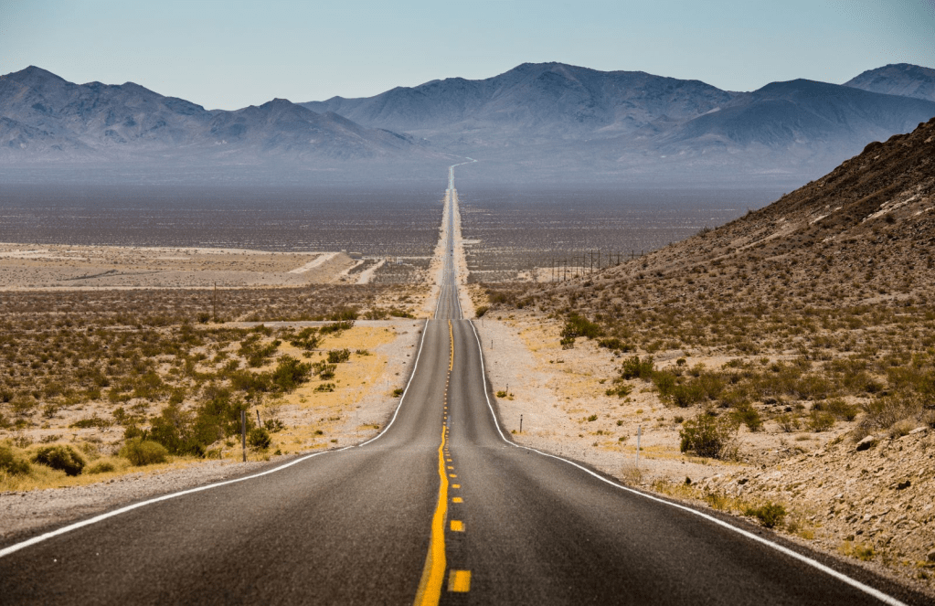
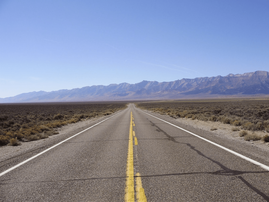
I chose Fallon for our Day 1 destination, not because of fighter jets, or radioactive water but for the D = ST (distance = speed × time) calculus essential to motorcycles. Its location on the Lincoln Highway, the first transcontinental thoroughfare, passes through Fallon from east to west (and vice versa), following the original Pony Express trail. Today it is designated U.S. Highway 50, and eastward from Fallon is popularly known as The Loneliest Road in America, as it passes through only two towns (Austin and Eureka) and one small city (Ely) between Fallon and the Utah state line, over 400 miles distant.
Hence, lodging options between our destinations for Days 2-4 were limited.
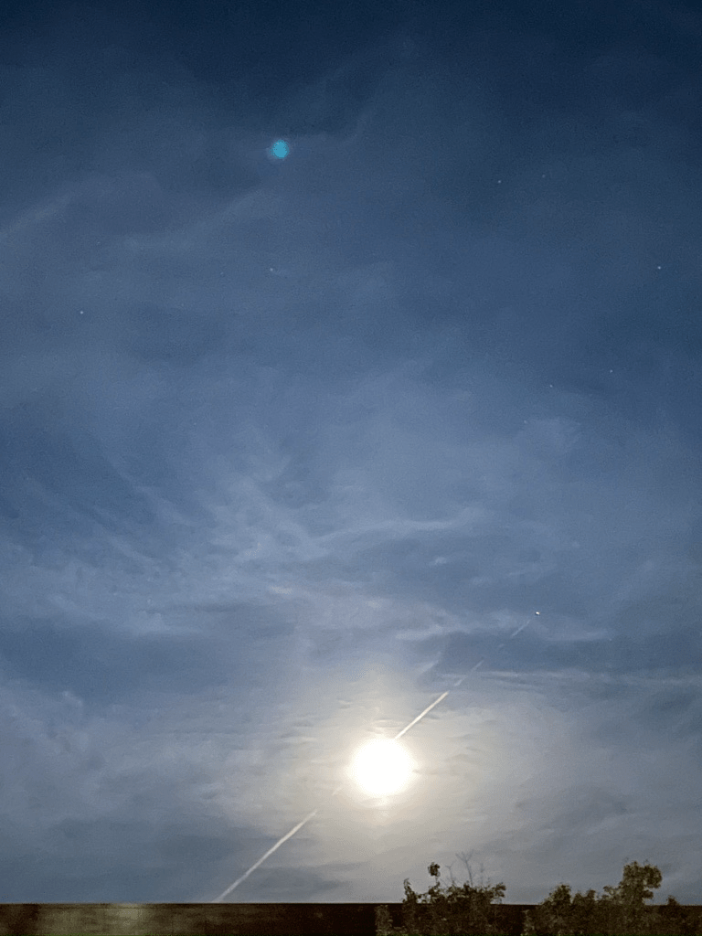
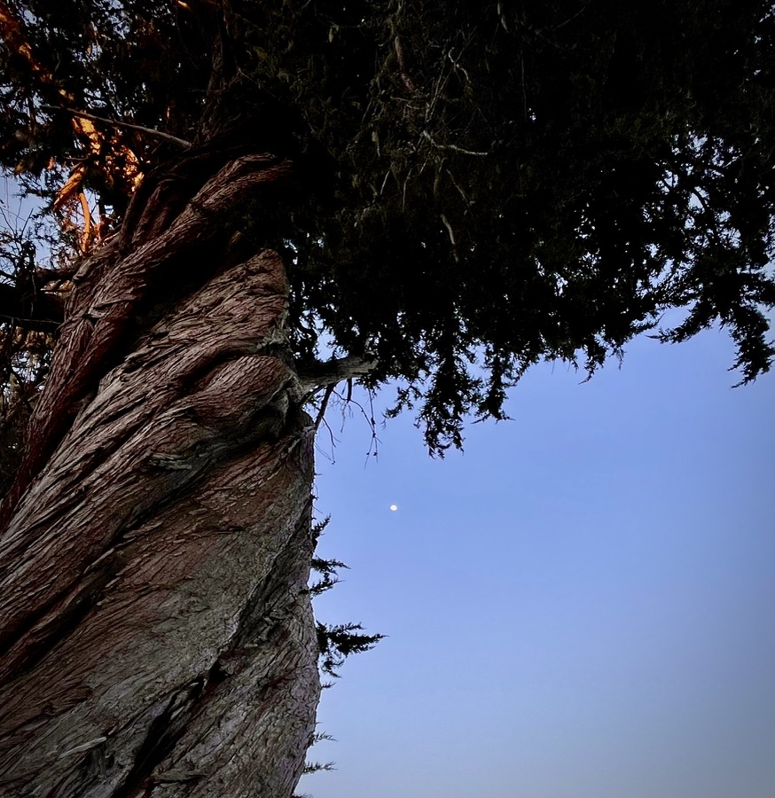
Pete and I concluded the blue sphere above the moon was an alien mothership
Day 2 / Monday, Sept 8 – Fallon, NV to Elko/Spring Creek, NV and the South Fork Recreation Area
Fallon to Elko and South Fork Rec Area ~338 miles
- US-50 through Austin to NV-278 N to US-80 at Carlin to Elko (~24 miles).
- NV-227/NV-228 to the South Fork Recreation Area (~16 miles from Elko).
- Nevada State Parks South Fork State Recreation Area – East Campground – RV or Tent with E Utilities
- Confirmation Number: 1057754 Camp host, Theodore (Ted) Douglas Willer Arrive: Mon 09/08/2025 – Depart: Thu 09/11/2025 (3 nights Site 5 #1057754 reserved 9/8-9/11)
- Get Supplies in Elko or Spring Creek.
A long day in the saddle, we rode past the Saloon and Shoe Tree at Middlegate and turned off of US-50 on a route we discovered on a previous trip to Austin, (Austin Nevada that is…) on NV-722/2 that took us through the ghost town of Eastgate.


From Nevada Expeditions: First called Gibraltar Gate, Eastgate was named by Captain James Simpson in the same manner as nearby Middlegate and Westgate. While it never served the Pony Express like the other two ‘gates’, a station and vegetable garden were located here by the Overland Stage and later sold to George S. Williams about 1876. A tufa-block home was built in 1879, leading to the place being known sometimes as “White Rock House”. In 1908, the current tufa-block home was erected. With the formation of the Lincoln Highway in 1913, Eastgate’s importance grew as a new store and gas station were established to service travelers. It probably lasted until around 1967 when the highway was rerouted, bypassing Eastgate completely. And just like that, Eastgate’s fate, like those along the Mother Road, was determined by a highway realignment.
For a deeper dive into Eastgate and Carroll Summit Stations in Nevada, check out the YouTube video by Two Guys in the Middle of Nowhere: The Ghost Town of Eastgate Nevada.
A fuel, nalgas relief, and snack stop in Austin found us eastbound to Eureka where we departed US-50 north on NV-278 enroute to Carlin through arid landscapes interrupted by alfalfa fields quenched by Pine Creek and the Humboldt River. From Carlin, it was a short leg on I-80 to Elko through the Carlin Tunnel.
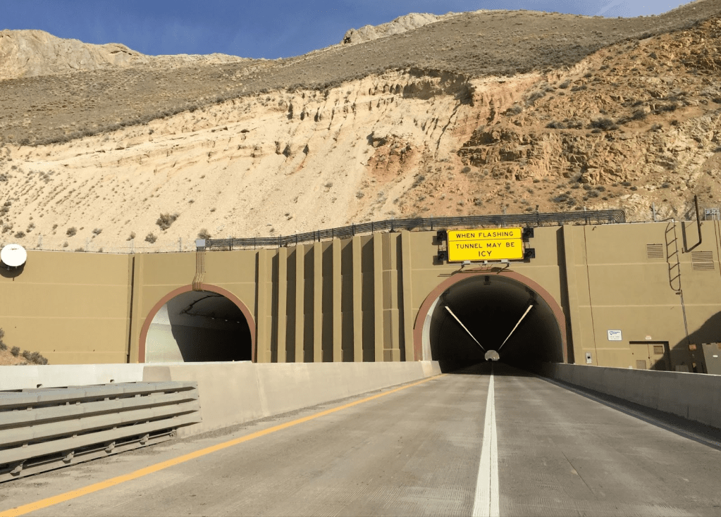
The Carlin Tunnel is a collective name for a set of four tunnel bores in the Humboldt River’s Carlin Canyon, east of Carlin in Elko County, Nevada, United States. Currently, two of the bores carry Interstate 80, while the other two bores carry Union Pacific Railroad’s Overland Route and Central Corridor.

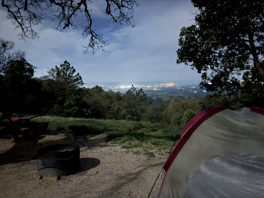
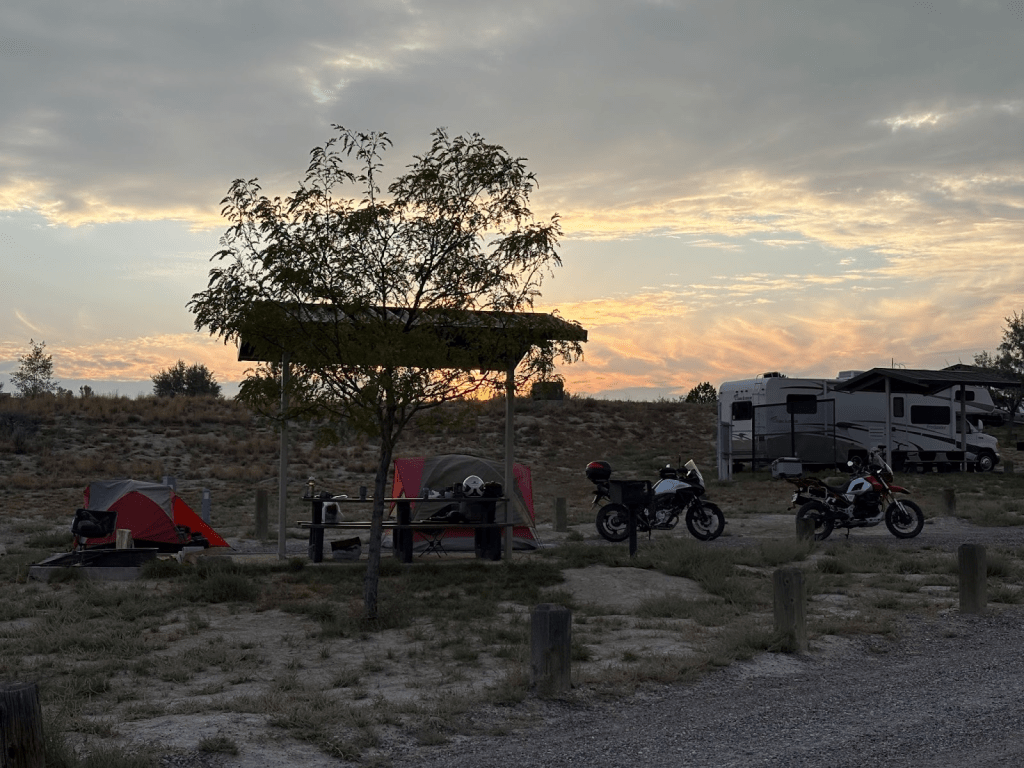
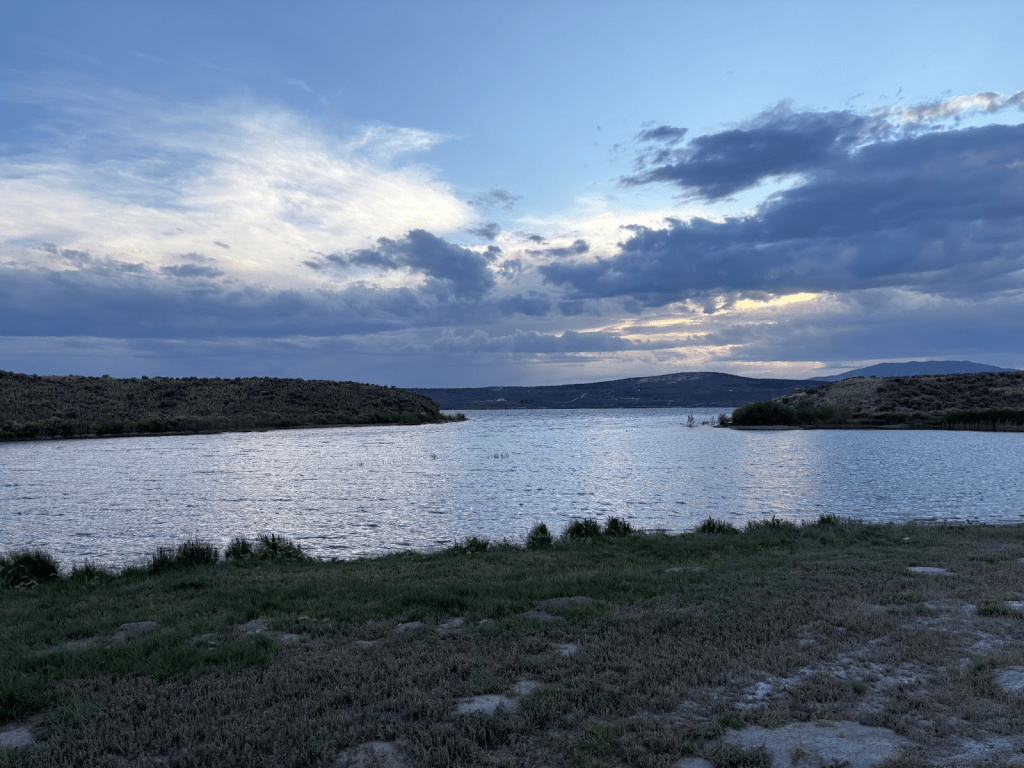
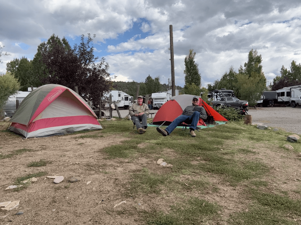
Zipping through Elko we made our way to Spring Creek and our home for the next three nights on the South Fork of the Humboldt River known as the South Fork State Recreation Area.
From there we would explore the Ruby Mountains, Secret Pass and the Hastings Cutoff on the historic California Trail, the Ruby Valley, Jiggs, and the Owyhee River, Wild Horse, Mountain City and Owyhee on the Nevada side of the border with Idaho.
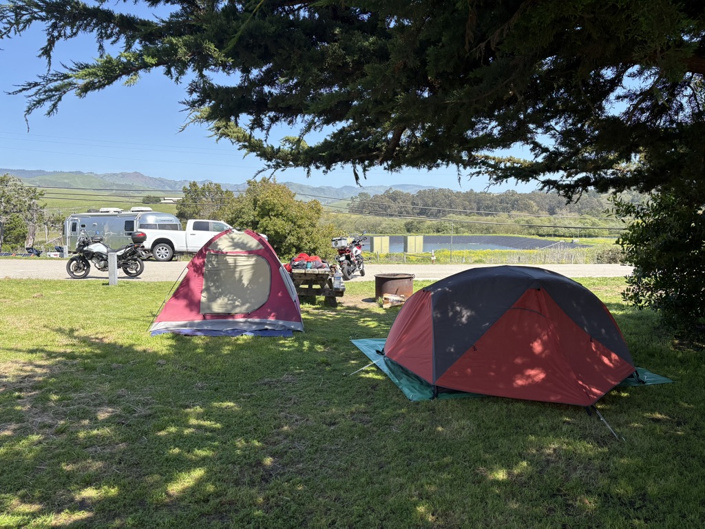
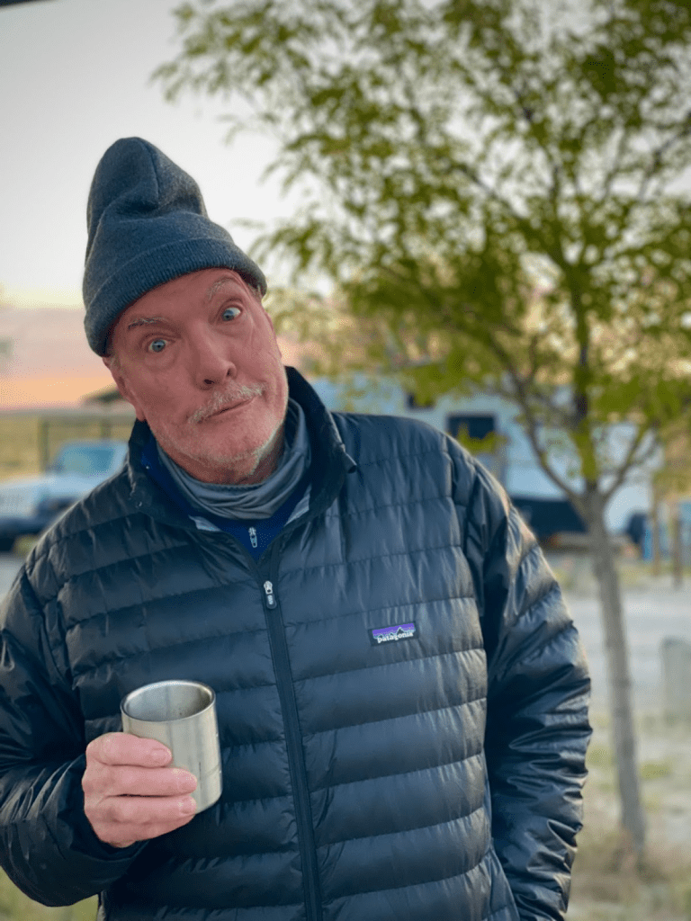
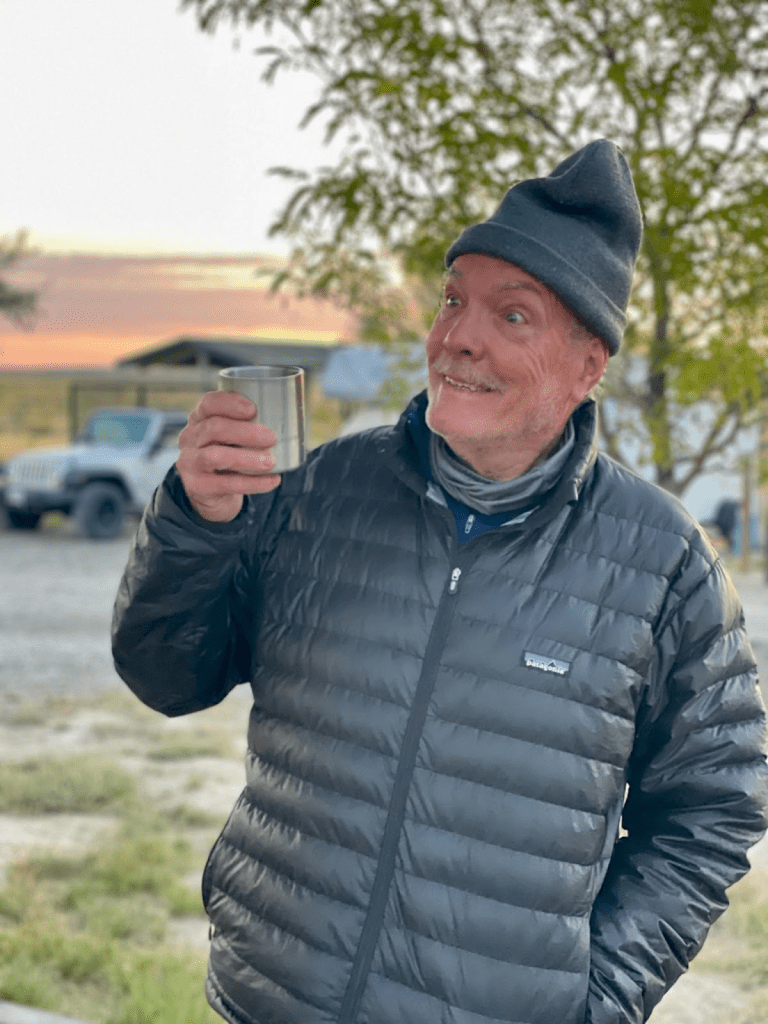
Upon our arrival, within minutes, the camp host, Ted (Theodore Douglas Willer), introduced himself. When Pete asked where we could get a cold beer, Ted retreated to his mobile abode and produced a pair of Coors Lights. He explained that he no longer drinks and some fellows on motorcycles had left him an unsolicited tip that he decided would purchase a twelve pack of beer for just this circumstance: Two parched blokes having ridden hard to reach camp as the sun was setting.
It only got better from there. Ted also recommended we switch our campsite reserved on the interwebs for one that was more accommodating for two tents and two bikes.
Ted was a fascinating character. A native of Northern Nevada, he had spent his working years in mining, ending his career at the Jerritt Canyon Gold mine. A true outdoorsman, Ted hunted, fished, backpacked, snow-mobiled, and dirtbiked all throughout the wilderness of Northern Nevada. As a reference for two “born to be mild” adventurers, his local knowledge was gold.
After touring the facilities that included hot showers and flush toilets, we were quite impressed as Nevada continued regaling us with parks the likes of Kershaw-Ryan State Park in Caliente, and Red Rock Canyon near Lost Wages, NV, with modern, clean, and well maintained accommodations. In addition to cold beers, we even had electricity at our site!

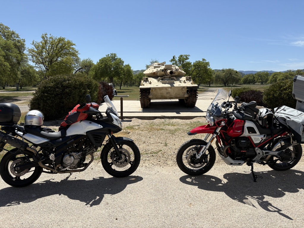
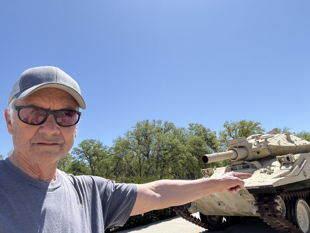
Day 3 / Tuesday, Sept 9 – South Fork Recreation Area to Lemoille Canyon Scenic Byway, Secret Pass, Arthur, Ruby Valley, & Jiggs Loop
Lamoille, Halleck, Arthur, Ruby Valley Loop ~132 miles
- From the Lamoille Scenic Byway, return to Lemoille and take Crossroads and Clubine Rds to Ft. Halleck marker (dirt).
- Continue on dirt to paved NV-229 at Poverty Gulch.
- At the junction of NV-229 dirt road, head south to Ruby Valley to the junction with NF-113/Old Harrison Pass Rd (dirt).
- West on NF-113 to the junction with NV-228 (paved) to Jiggs and NV-228 back to the South Fork Recreation Area campgrounds.
- Get supplies in Spring Creek.
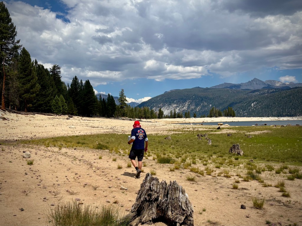
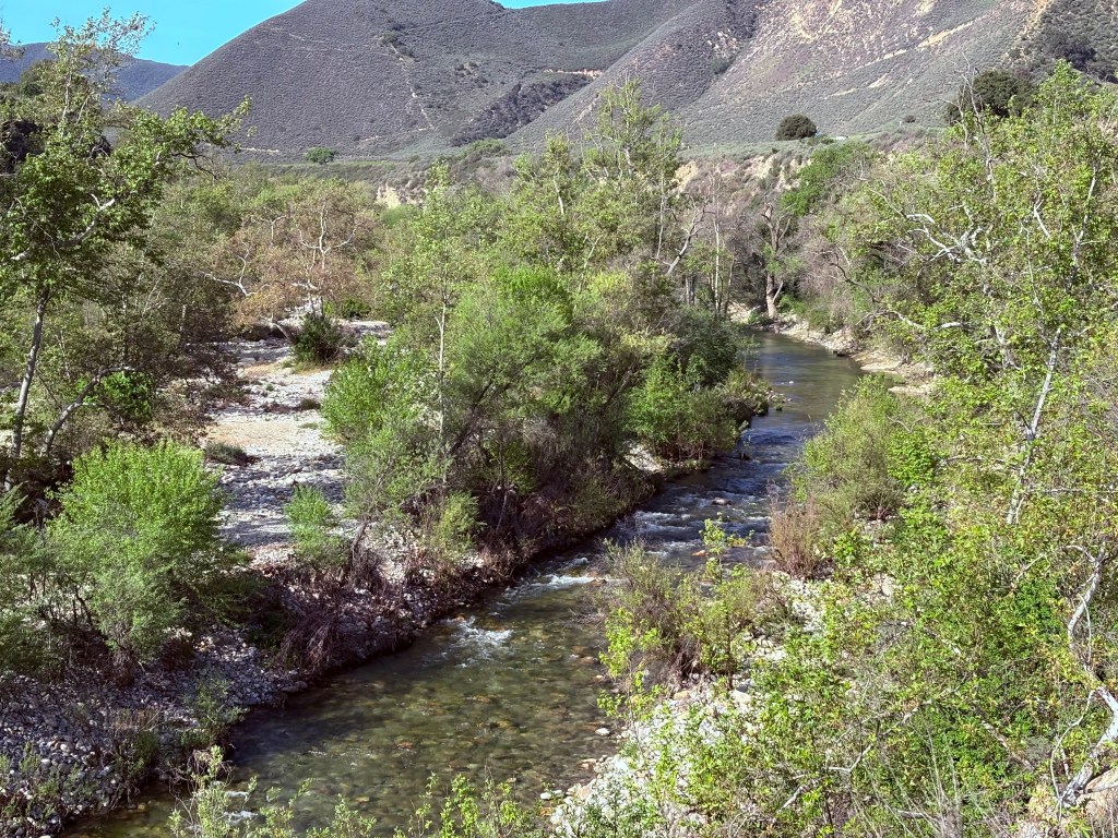
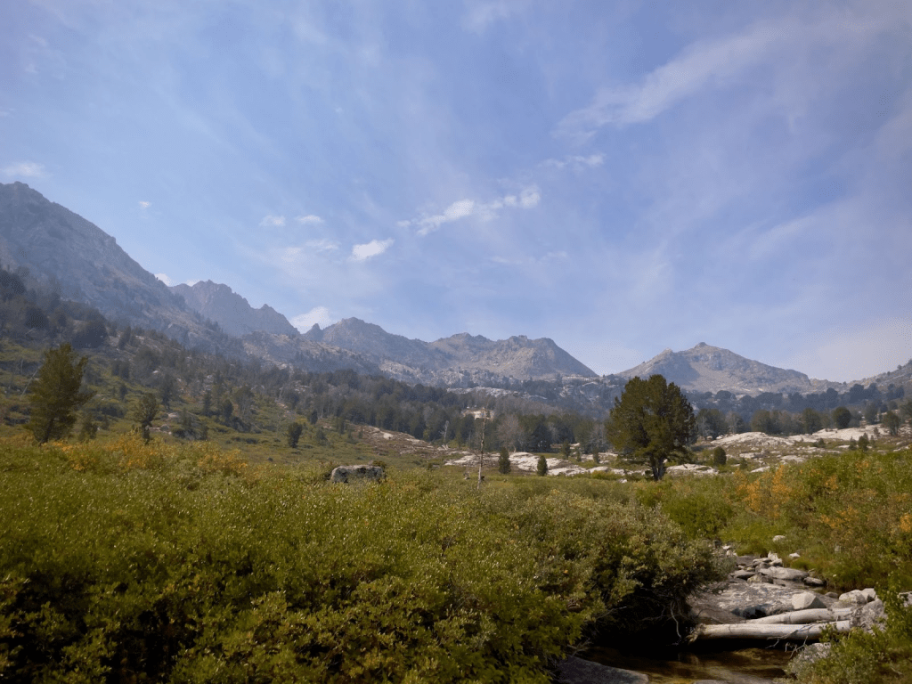
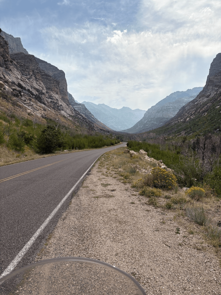
Our intent for the day’s ramble was to explore the Ruby Mountains. The range reaches a maximum elevation of 11,387 feet on the summit of Ruby Dome.
To the north is Secret Pass, part of the historic Hasting Cutoff, and the East Humboldt Range. From there the Rubies run south-southwest for about 80 miles. To the east lies Ruby Valley, and to the west lie Huntington and Lamoille Valleys. It’s alleged that the mountain range was named after the garnets found by early explorers.
The central core of the range shows extensive evidence of glaciation during recent ice ages, including U-shaped canyons, moraines, hanging valleys, and steeply carved granite mountains, cliffs, and cirques.

and Ruby Dome towering in the background


Having gone over the route with Ted, our camp host, a virtual guide with extensive knowledge of the local terrain, we felt confident that what amounted to our longest stretch on gravel was doable. The route took us into Lemoille Canyon following Lemoille Creek. An out-and-back then took us through the village of Lemoille where we met the first 18 miles of gravel road leading to NV-229 and Secret Pass into Ruby Valley.
The Donner Party passed through the southern end of the valley in 1846, heading for the Overland Pass route across the Ruby Mountains – part of the Hastings Cutoff. A sentence in Hastings’ guidebook briefly describes the cutoff:
The most direct route, for the California emigrants, would be to leave the Oregon route, about two hundred miles east from Fort Hall; thence bearing West Southwest, to the Salt Lake; and thence continuing down to the bay of St. Francisco, by the route just described.
The cutoff left the Oregon Trail at Fort Bridger in Wyoming, passed through the Wasatch Range, across the Great Salt Lake Desert, an 80-mile nearly water-less drive, looped around the Ruby Mountains, and rejoined the California Trail about seven miles west of modern Elko (also Emigrant Pass).
For a detailed account of the route, see Salt & Snow Lansford W. Hastings the Donner Party and the Haste to Blame by Eugene R. Hart, a friend and colleague, for a well researched history of the Donner Party’s ill-fated route on the California Trail.

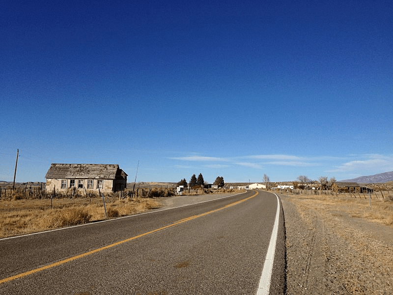
The next 50 miles of pavement on NV-229 took us through the small unincorporated community of Arthur to the junction with NV-767.
Ranching is the main economic activity in Arthur and the Ruby Valley in general. Most of the ranches have remained in the same families for generations.
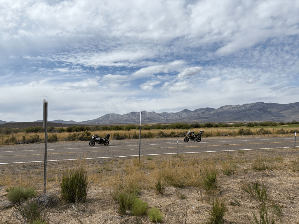
There weren’t may vehicles on the road, but there was infrastructure.

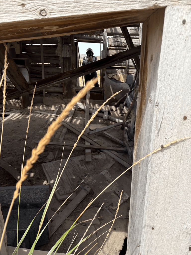
I don’t think Pete was doing what it looks like he was doing
At its south end lies the Ruby Lake National Wildlife Refuge. The valley includes a series of hot springs, known as Ruby Valley Hot Springs, with multiple pools reaching up to 30 feet in diameter and 100 degrees Fahrenheit in temperature.I
NV-229 passes along the northeast edge of the valley, and Ruby Valley Road (NV-767) runs along its western edge.
Our next dirt section was Harrison Pass Road (CR-718) for 14 miles crossing the Ruby Mountains near the center of the valley at an elevation of 7,247 feet . Much of the floor of Ruby Valley lies at elevations near 6,000 feet.

At the entry to Harrison Pass Rd we encountered a local rancher and his wife. Perhaps perceiving our born to be mild countenance, they cautioned us about being on point because Harrison Pass Rd is a popular 4-wheel drive road on which speeding vehicles and tight blind curves with sandy washes that can be treacherous.
Fortunately we didn’t encounter any speeding side-by-sides or other ATV’s but the sandy road conditions made for a squirrelly crossing.
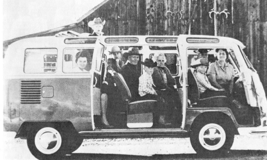
We reached pavement on NV-228 that took us through the small unincorporated community of Jiggs. In addition to the Jiggs School and Skelton Hotel, two historic buildings from the early 1900’s, there’s the Jiggs Bar, which we regrettably didn’t stop to visit.

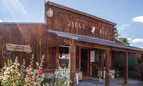
The town was featured in a 1965 Volkswagen advertising campaign in which the entire population (5 adults, 4 children and a dog) was shown comfortably seated inside a VW Bus.
Upon returning to the campground, Ted met us with two cold Coors Lights. In exchange, we offered our enthusiastic reflections on the day’s ride that he had recommended before heading into Spring Creek for bites and beverages.

For a visual record (with soothing soundscapes) of our Ruby Mountain Ramble, check out the video from our day of cattle, canyons, passes, and dirt roads:
Lemoille Canyon and The Ruby Mountains Ramble

Day 4 / Wednesday, Sept 10 – South Fork Recreation Area to Owyhee and back
South Fork Rec Area to Owyhee Loop ~236 miles
- From the campgrounds, NV-225 N to Owyhee through Wild Horse and Mountain City, then NV-226 S back to Elko
- Lunch at The Star Basque Restaurant and beverages in Spring Creek.
- Return to the South Fork Recreation Area campground
Weather was our consideration for how to approach our ramble to Owyhee on this our fourth day of adventure. Consulting with Ted we decided to forgo a dirt section that would take us through the Duck Valley Reservation on NV-226 that might be iffy in the rain that was forecast for the afternoon. Remember, we were born to be mild, having outgrown the wild birth stage of our lives…
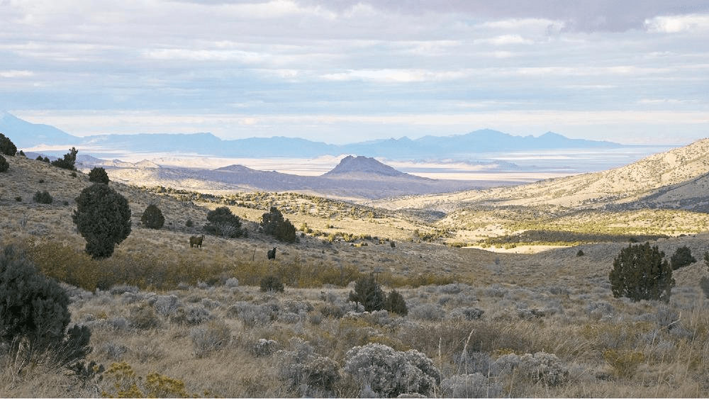
It’s perhaps a shame that I didn’t break out the GoPro for yet another view of the road from my handlebars. I figured the Ruby Mountain Ramble video was enough of mile-after-mile of monotonous, but at times breathtaking, scenery. And, if you’re not a music nerd, there probably aren’t enough of dramatic cinematic dopamine triggers keep you engaged. That and I don’t own a drone. So the few still photos we took will have to give you some perspective of the landscapes.
Yep, born to be wild horses
Not much to see in Owyhee, a small reservation town on the vast volcanic lava flow plain. After a stop for a snack and some nalgas relief, we turned tail to make our way back to the South Fork Recreation campground, but not before stopping for a water bottle leak in Pete’s top case, absorbed by the roll of Scott Shop Towels he always carries and a few interesting sites along the road.

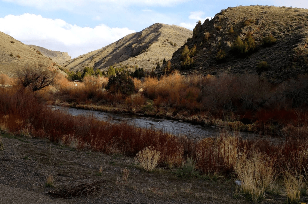
the North Fork of the Humboldt River, on NV-225
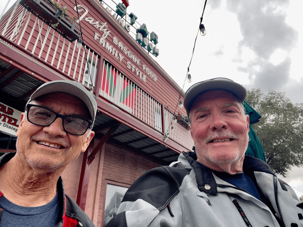
I have mentioned in prior blogs my associate, Pete’s, heritage. He’s Basque by way of his father. Nevada is renowned for its Basque population, especially in the Elko area so naturally we sought out the best Basque restaurant in town, The Star.
As with many Basque restaurants, there was usually lodging associated with the family dining area to accommodate migrant shepherds attending to herds of sheep and this was true of The Star. We had a wonderful lunch including a Picon Punch I first learned about in Los Banos, near our home in Merced, at the Woolgrowers. According to 23andMe, I have just under 1% Basque heritage myself (that is likely attributed to my promiscuous Neanderthal ancestors).
Making our way to the campground south of Elko, we stopped for fuel in Spring Creek, a suburb of the growing Elko population and our commercial base of operations where fuel, both fossil and fermented, were acquired.
As I pulled up to the pump and executed the fueling ritual of removing gloves, removing the tank bag, inserting the key into the cap, and reaching for my wallet, I realized it wasn’t nestled in its customary chest pocket.
Needless to say, panic struck! I’m on the road in the middle of a seven day ramble and have lost my wallet somewhere during the day. I last remember using my credit card to purchase fuel at the very same Sinclair gas station that morning. I naively thought to inquire at the station’s convenience store if anyone had turned in a wallet.
The disinterested cashier yelled across the store to another employee who mumbled something and said there was nothing in a basket resembling a wallet.
After I paid for the fuel with cash and was given $4 and change, I asked, “So you think I can make it back to California on four bucks?”
She replied, “You’re screwed. Look around. Do you think someone would turn in a wallet?”
I should have known better. This is the only Sinclair station we had stopped at that didn’t have a Dino. There was a pad for the Dino. Apparently Dino had been abducted. This did not ensure confidence.
I dialed the Star restaurant and a bit more reassuringly the attentive staff remembered us and stated that after a search there was no wallet near where we were seated.
I had enough cash to make it home on our remaining three days but it was the drivers license, credit cards, insurance cards, and god forbid, my National Parks Senior Pass that would have to be cancelled and replaced. I then called my wife after using the app on my phone to put a hold on my Citi credit card, which, as it turns out, I later hastily canceled. Toni works for the local School Employees Credit Union. She took care of my backup CU Visa and reminded me that I still had my Apple credit card in my phone’s wallet. A small measure of relief. One of many fringe benefits to my marriage…
As we made our way back to the camp that afternoon, Ted with Coors Lights awaiting our arrival, I was somewhat crestfallen after what was otherwise a beautiful day on the moto rambling through exquisite terrain. Not much for celebration, I opted for a shower to wash away my woes.
While stowing my armored jacket and pants, that I had by this time searched in every pocket multiple times, I felt the small rectangular form of my wallet that I had perhaps in haste earlier mistaken for CE armor. A flood of relief overcame me. I unzipped a vent on the front of the jacket, opposite the pocket in which I usually stored my wallet, and guess what? Lost wallet frenzy extinguished!
Fortunately the mesh liner inside of the jacket held the wallet in place.
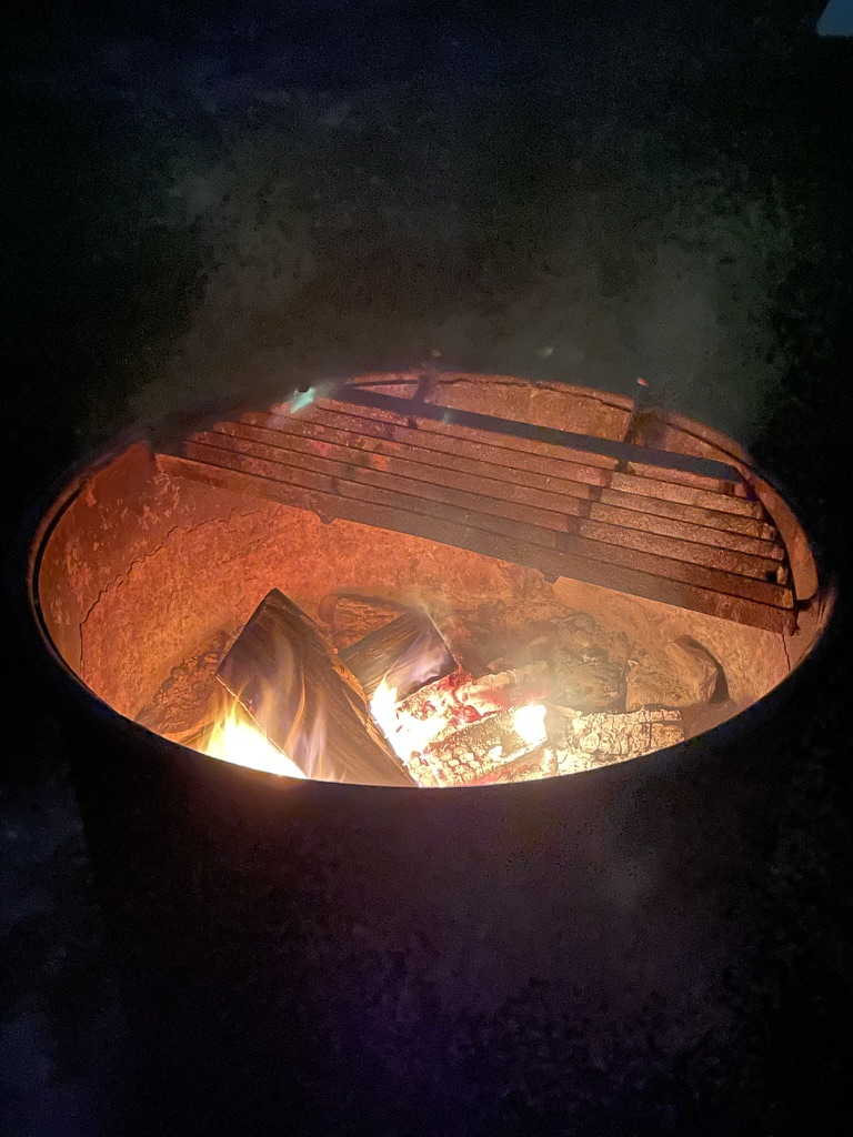
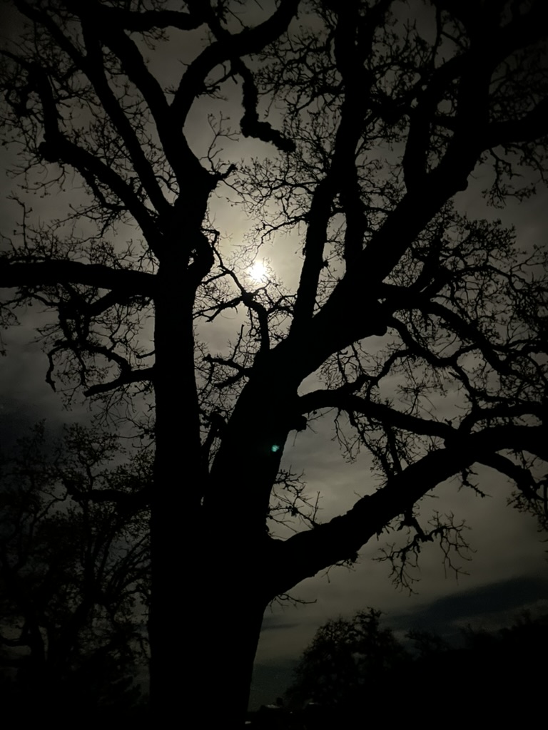
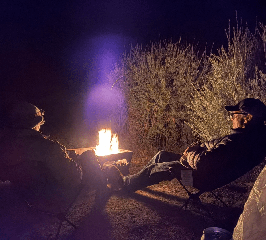
Wallet firmly in grasp, we made our way back to town for dinner. After grabbing a bite to eat in Spring Creek at the counter service Mexican restaurant attached to the Casino, we returned to camp after an exhausting search for wine for my pompous palate, where I eventually enjoyed a glass or two of Pinot and Pete a cerveza o dos. We then set about on a stroll about the campground, a warm campfire, some stargazing and our fourth day of adventure and misadventure was complete.

I have an app on my phone called Skyview that identifies constellations, planets and other objects in the night sky placing virtual images of those objects in the direction the phone’s camera is pointed relative to their position in space.
As is a familiar ritual, well into the night I was up to see a man about a mule and it just so happened that Saturn, Uranus, Jupiter, Mars, the Moon, Venus and Mercury were all visible by way of the app, though not all without magnification to the naked eye throughout the night.


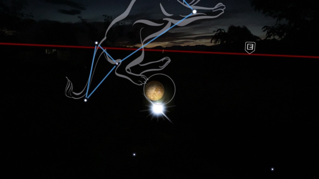
Top left clockwise Skyview images: Saturn, Venus, the Hubble Space Telescope and International Space Station, Mars, and Mercury. Jupiter was visible too.
Often on our campouts, we see satellites, like Starlink and others. We jest about them being UAP’s. Earlier in the evening we saw the Hubble Space Telescope and the International Space Station streak across the sky just after sunset. They’re only briefly visible as the rotation of Earth and the angle of the setting sun reflects off of them in their transit about the planet.
Day 5 / Thursday, Sept 11 – South Fork Recreation Area to Tonopah, NV
South Fork Recreation Area to Tonopah NV ~294 miles
- Retrace US-80 W from Elko to NV-278 S to Eureka. US-50 to the junction with NV-376. South on NV-376 to junction with US-6 W to Tonopah.
- Get room at Best Western Hi-Desert Inn in Tonopah across the street from Tonopah Brewing
- Tour the downtown and the Mizpah and Belvada Hotels
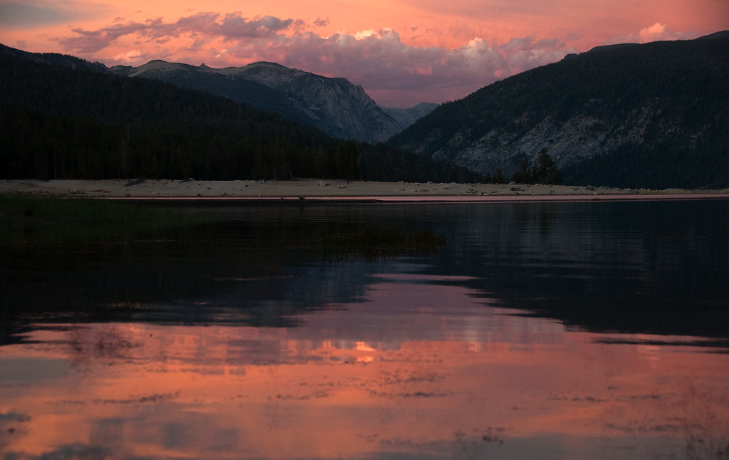
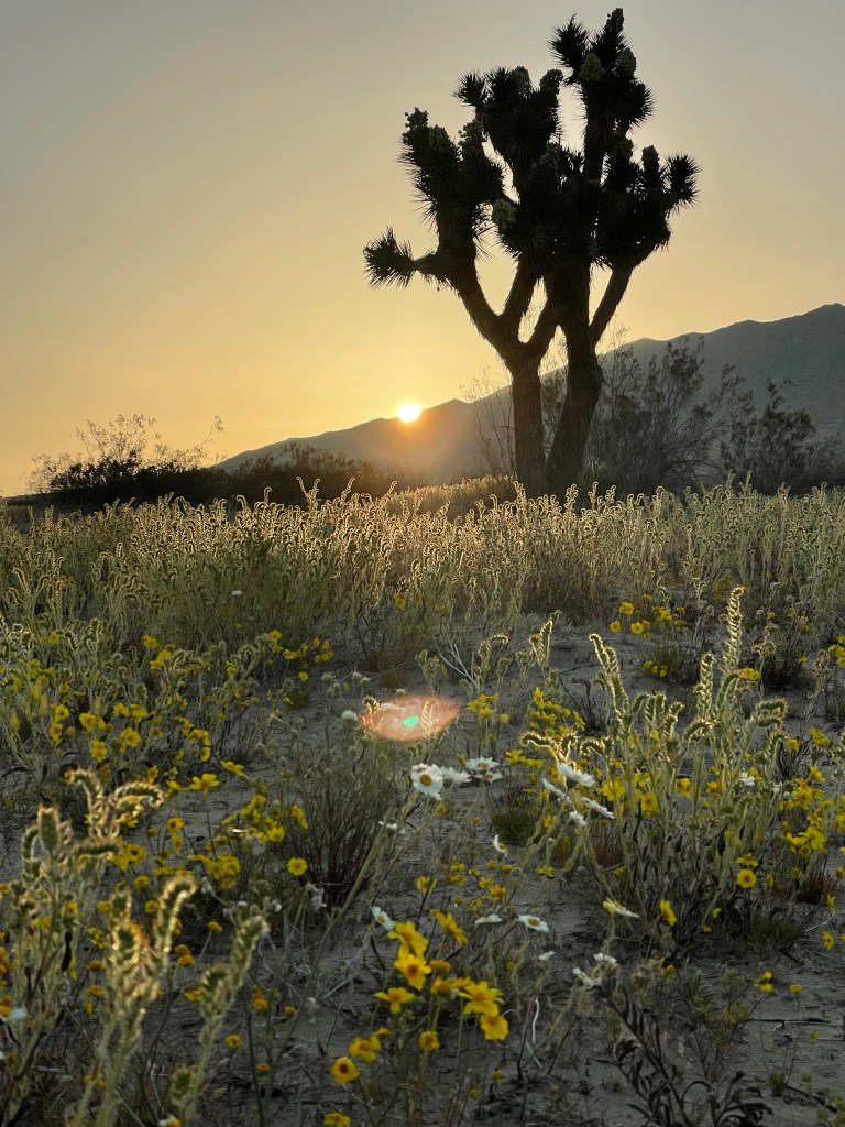
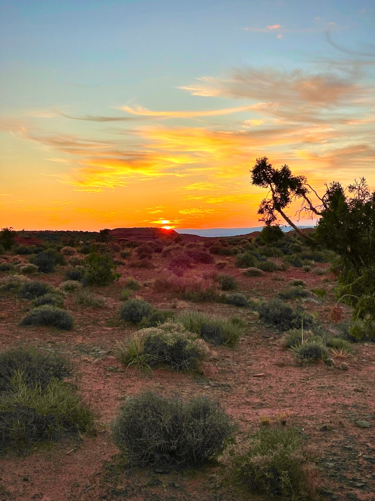
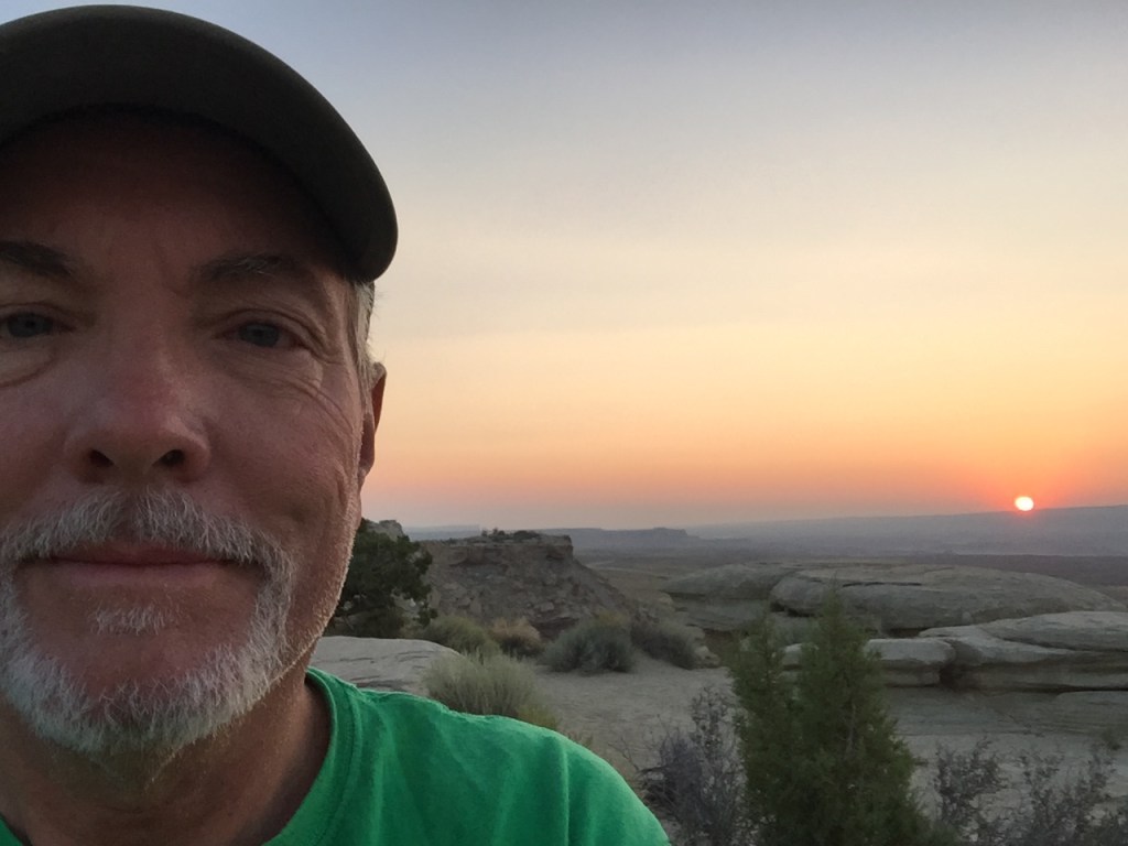
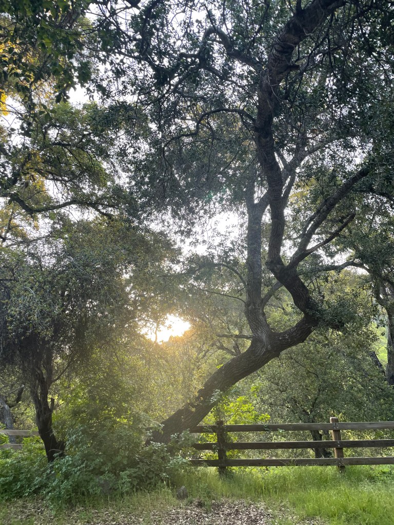
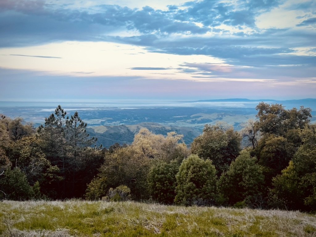
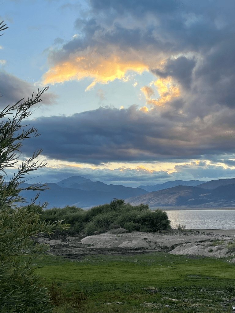
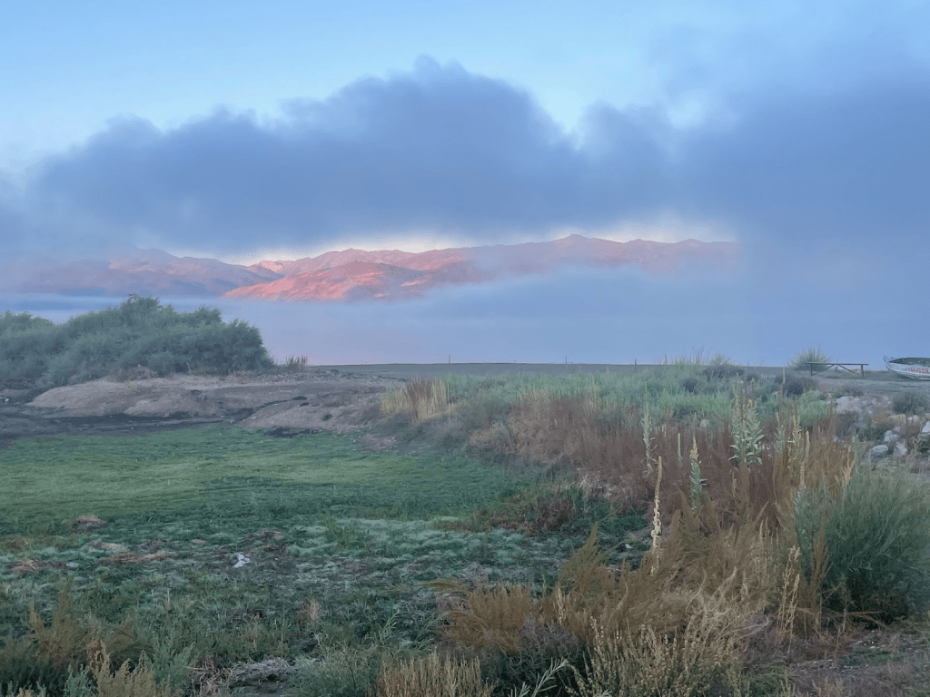
BTW, have I mentioned I never met a sunrise or sunset that wasn’t spectacular.

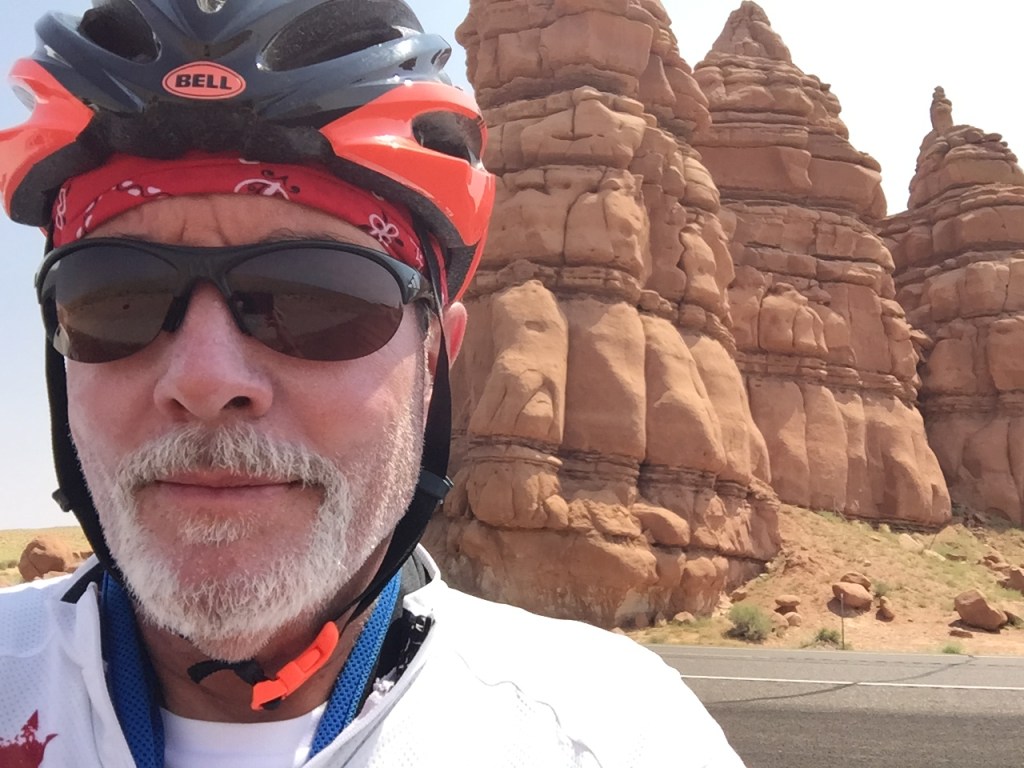
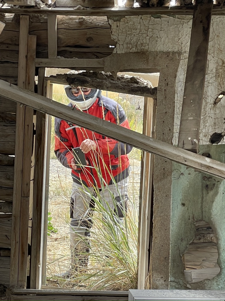
We enjoy documenting our rambles. I with my monotonous videos and inspired landscapes. Pete too, works hard at photographically capturing the essence of our motocamping experience. He composes each shot, carefully choosing the angle and composition, especially the backdrop for a photo, setting up and tweaking a tripod and fussing with the timer to express a pictorial narrative of epic adventure.

Then I come along to tell another version of the tale.

Soon we would be leaving our outstanding experiences in northeastern Nevada. After exchanging pleasantries with Ted, whose excellent campground oversight and generosity will be the standard by which all future camp experiences are measured, along with my sharing contact information, we bid adieu to the South Fork State Recreation Area.

A shameless plug for the blog I leave at the first sign of interest… Actually, I don’t even wait for a sign before stuffing a card into the hand of an unwitting addition to my 82 fans!
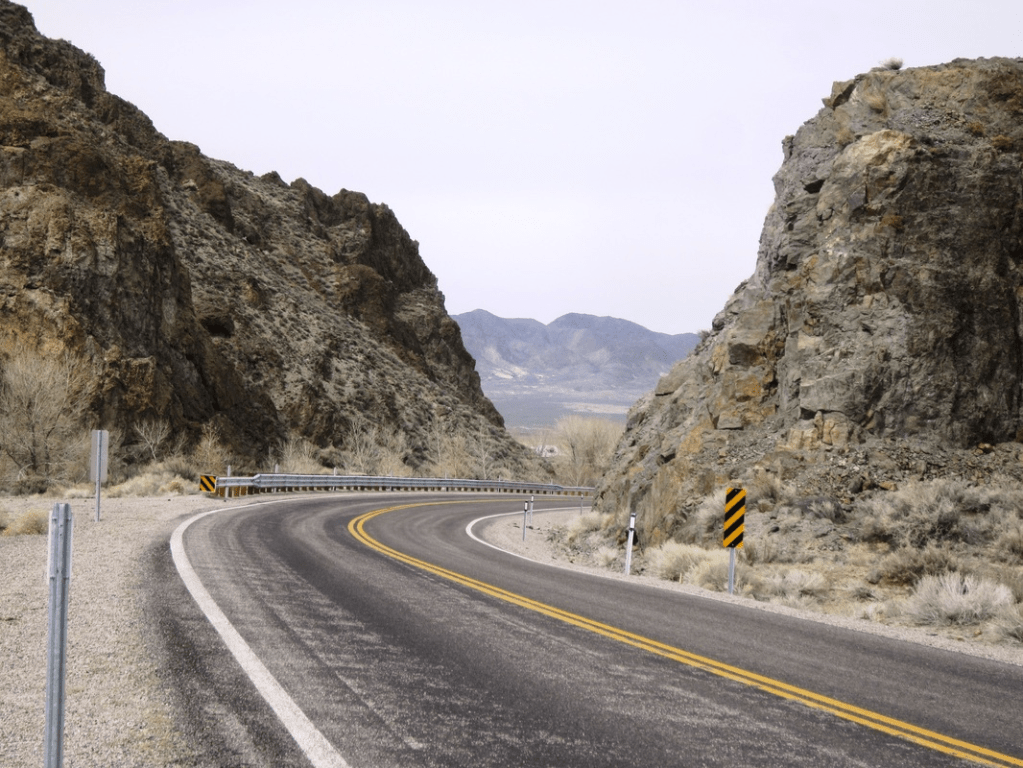
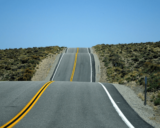
It was on to Tonopah as our destination for day five via the Nevada Scenic Byways of NV-278, US-50, and NV-376. All with great views, some with vistas reaching over 50 miles in this basin and range geography in Nevada that is second to none.
But first we needed to fuel up for those long lonely stretches of pavement awaiting us. We stopped in Carlin for breakfast, passing a fuel stop we used earlier in the week happening upon a great retro looking cafe, The State Cafe, Bar, Casino.

Though intriguing, it was too early for an eye-opener, with too many miles before us, or slots, so we opted for breakfast at the adjacent cafe.

Almost as good as my wife’s, Toni’s
I’ve noted in past posts that Pete has an outsized appetite for his svelte appearance. I, on the other hand, given my hillbilly genetic predisposition of loading on excess caloric storage (fat) have to work hard to even maintain my semi-svelteness. Pete ate half of my breakfast in addition to his. Thanks Pete. I’m able to throw a leg over the motorcyle because of your help with my calorie restriction.
Back on the road again, we stopped briefly for nalgas relief and some hydration at the junction of US-50 and NV-376. We could see the clouds forming above the Toiyabe Range that augured thunder showers.
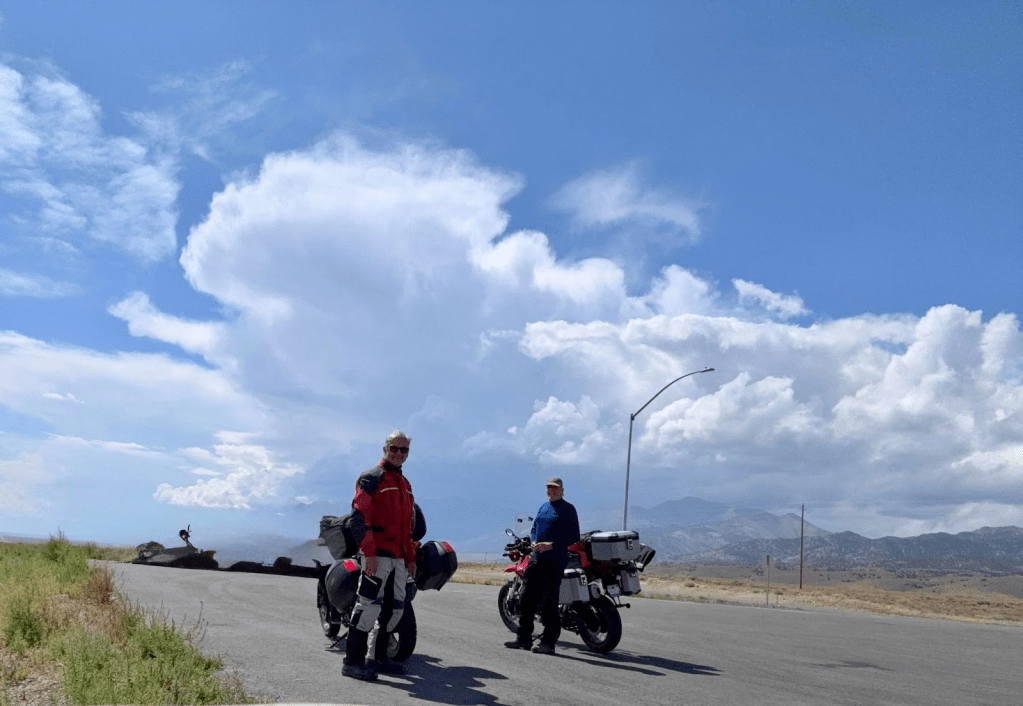
Adorning rain gear, we encountered foretold showers and a little hail between Kingston and Carvers for maybe 20 or so miles. It was all refreshing until we saw ground lightning strike at the base of the Toiyabes, not that far from the road.
Once out of the thunderstorm we dried quickly in the warm afternoon temps.
Near Carver we passed the Round Mountain Gold Mine, operated by Kinross Gold, which produced approximately 324,277 ounces of gold in the financial year 2020. Another example of the boom and bust cycles in Nevada. The mine has a long history, having first opened in 1906 and transitioning from underground to open pit mining over the years. Its projected annual production (2025): Approximately 2.0 million gold equivalent ounces (Wiki). Consider this, the price of gold at $3,855.00 per ounce as of this writing x 2 million ounces would be worth $7,710,000,000. Before expenses.

Interestingly, when I asked Ted, our camphost with the mostest, what he figured in his responsibility for overseeing gold extraction in his mining career, he had never thought about the value of his work in those terms. In fact, he called an old mining buddy to discuss this unanticipated quandary.
I hope to hear from him about what toiling underground for thirty six years for, “sixteen tons and what do I get, but another day older and deeper in debt…” (For my younger readers: Sixteen Tons by Tennessee Ernie Ford Yeah, yeah, it’s about coal mining, but you get the point, right?)
Of course gold prices have fluctuated over time, but it seems that there is a reason the Discovery Channel still produces episodes of the reality show, Gold Rush and the half dozen spinoffs the show has generated. A guilty pleasure for this environmentally conscious denizen.

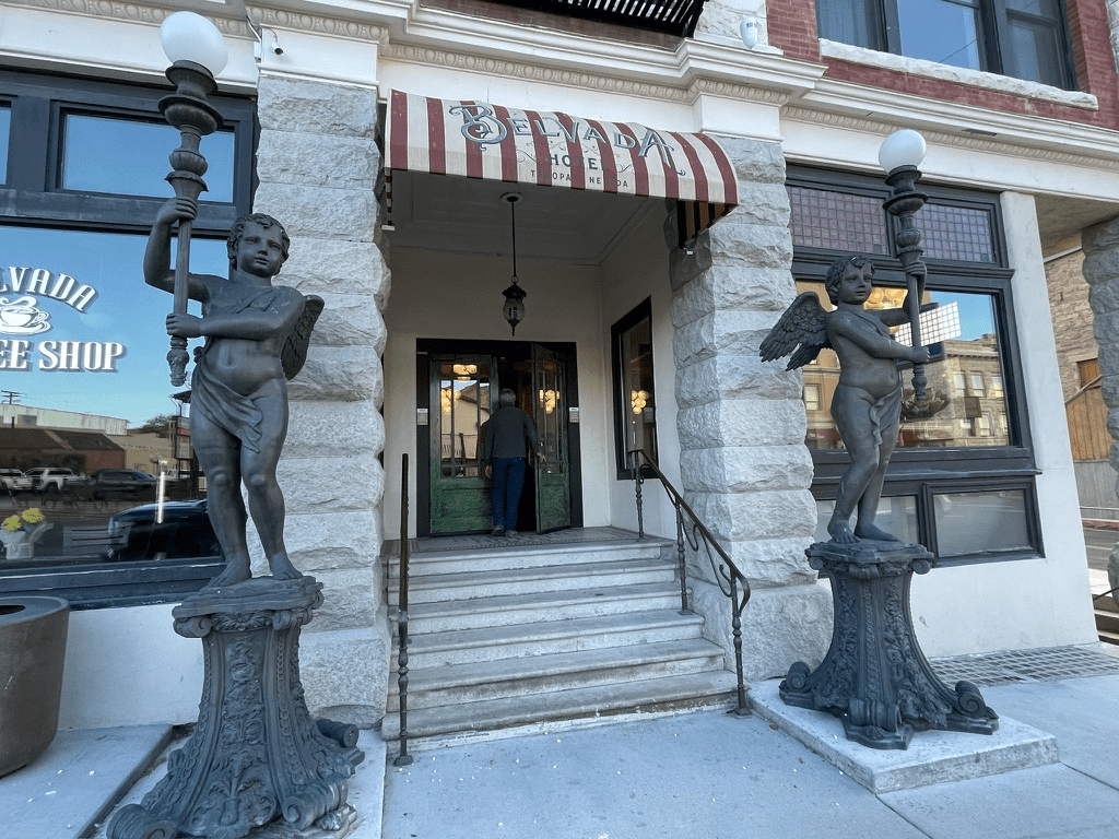
We arrived in Tonopah in mid afternoon. After unpacking we embarked on a walk about downtown to shake off the miles in the saddle. Upon entering one of the most acclaimed buildings in Tonopah, we discovered the role of the Cline family, Sonoma California vintners through their Cline Family Ventures, of the restoration of the Mizpah and Belvada Hotels built in the early 1900’s. The Family Ventures was responsible for the establishment of the Tonopah Brewing Company too. You can read about the family in the article, Vintners breath new life in historic Nevada Town by John M. Glionna, from the Las Vegas Review-Journal, February 7, 2016.
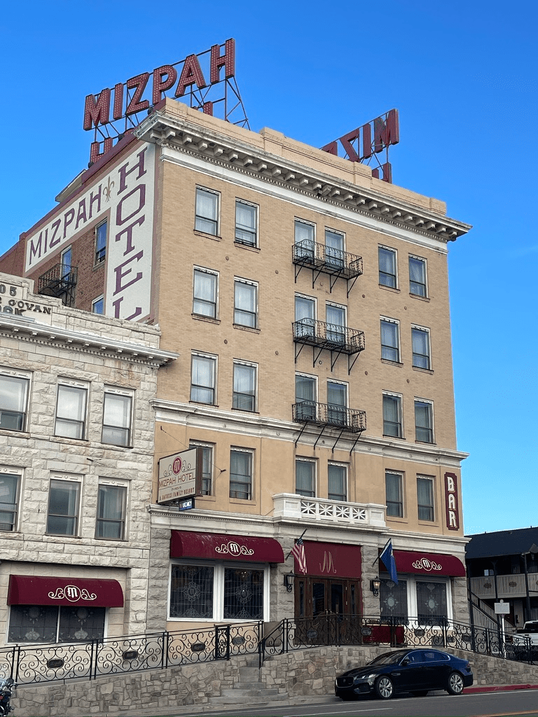
At the time of its opening, the Mizpah was the tallest building in the state and featured modern luxuries such as an electric elevator, steam heat, and hot and cold running water. The hotel quickly became a social and business hub for miners, investors, and visitors. The Belvada originally opened as a bank in 1907 but shuttered four months later as yet another classic example of boom and bust mining economies. After closing in 1999, the Mizpah and Belvada remained vacant until 2011 when Fred and Nancy Cline, with deep family ties to the region, purchased and carefully restored them.

accompanied by well rounded, lightly hopped, Mucker Reds
The Cline Family venture added to their Tonopah trifecta by creating the Tonopah Brewing Company right across the street, US-6, from our Best Western Great Basin Inn. After solid pub grub, we settled in for the evening relaxing, rehydrating, and reflecting on five days on the road. Tomorrow, a short romp to Bridgeport and the Paradise Cove Campground.
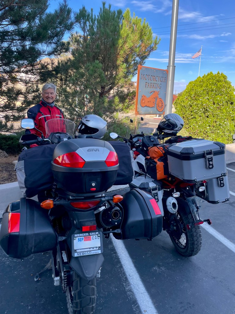
Day 6 / Friday, Sept 12 – Tonopah to Bridgeport
Tonopah to Bridgeport ~160 miles
- US-95 to US-6 to Benton and CA-120 to US-395 N to Bridgeport.
Our route for this day’s ride is well known. We’ve collectively traveled over this portion of the basin and range a couple of dozen times, in fact I once rode over the very same road on a bicycle in 1993 (See: The Tour de Life A Tribute to a Dear Friend, Larry Johnston). A favorite stretch on the moto is the CA-120 leg from Benton Hot Springs to Lee Vining, something of a roller coaster with broad sweepers.

By noon we arrived in Bridgeport. We set up our campsite and enjoyed a refreshing beverage as we contemplated the weather.
After briefly retreating to our respective ripstop abodes as a squall passed through, we emerged deciding when and where to have dinner and whether we needed to gear up for the weather.
After a brief discussion, it was decided that we head into town and have dinner at the Bridgeport Inn. Famished, as we hadn’t had breakfast sustained only by a cookie from the motel lobby in Tonopah as we left, it was comforting to see meatloaf on the menu. I am a comfort food sorta guy as is my associate so we both ordered the meatloaf, mash, and a salad.

It was a Friday night in Bridgeport and as we were dining the skies let loose. That’s also when we noticed a large number of “Adventure Motorcycles” from that Bavarian manufacturer looming about. It turns out that an informal group of ramblers from Southern California were on a weekender and were staying at the Inn.
Perhaps it was because of fatigue or the weather that I didn’t snap a picture of the motorcycles that were parked near ours in front of the Inn. Nor did I document our conversation with a member of the group who shared his ride up from SoCal. That or I am guilty of making fun of those pictures of motorcycles taken in front of Starbucks. The Bridgeport Inn is no Starbucks and so I’m modestly apologetic for making fun of gratuitous motorcycle shots in front of Starbucks and equating that to the Bridgeport Inn. Oh, and for not having a photo.
The campground host and hostess were a delightful couple who hailed from Ohio. The camp was readying to close for the winter. We decided to purchase two bundles of wood and were determined to hold out for some stars as we anticipated two of the three R’s over a campfire. Recent storms had soaked the wood, even though wrapped in plastic film. My associate and I had a real struggle to start a fire, at one point resorting to using my battery powered tire inflator to oxygenate the paltry flames. I was frantically splitting kindling from the larger pieces as Pete knelt over the flames, blowing to bolster the single element necessary of the three to make fire.
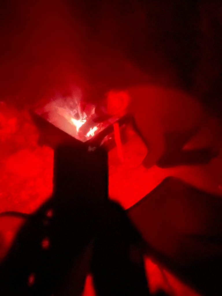
Though we are born to be mild, there was just enough of our neanderthal genome present such that our quest for fire finally generated enough heat to sustain a blaze. The red filter of my headlamp cast an eerily hue of Pete’s hyperventilation of the puny blaze.

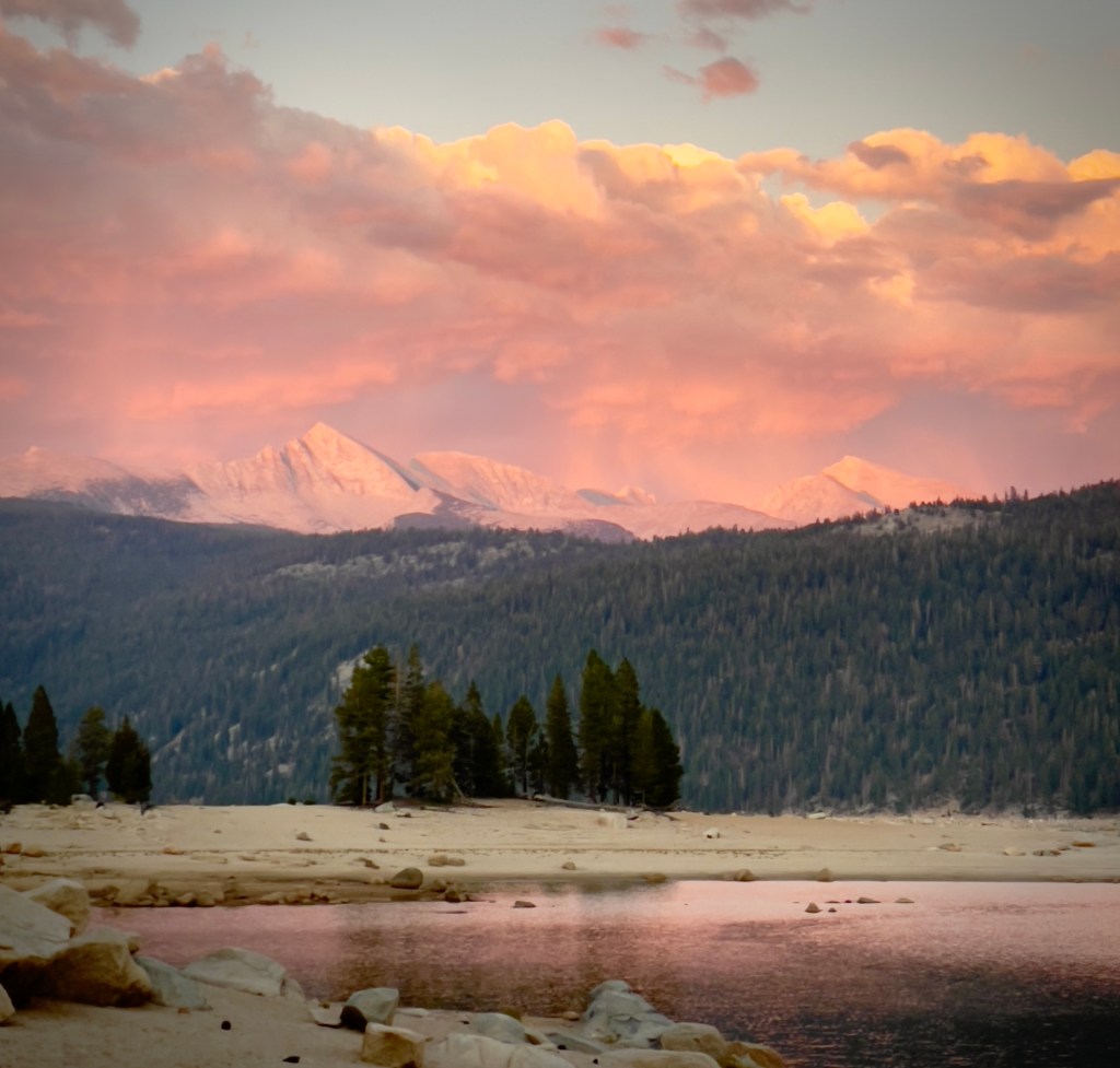
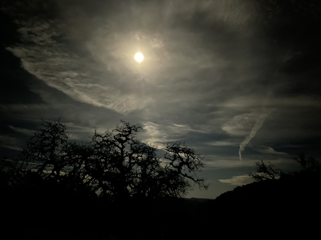
“Ughu,” translated from Neanderthal, “Victory!” We were intent to burn every last log before retreating to our tents. The skies cleared, somewhat, allowing for a spectacular star studded moonrise. No ambiguity there…

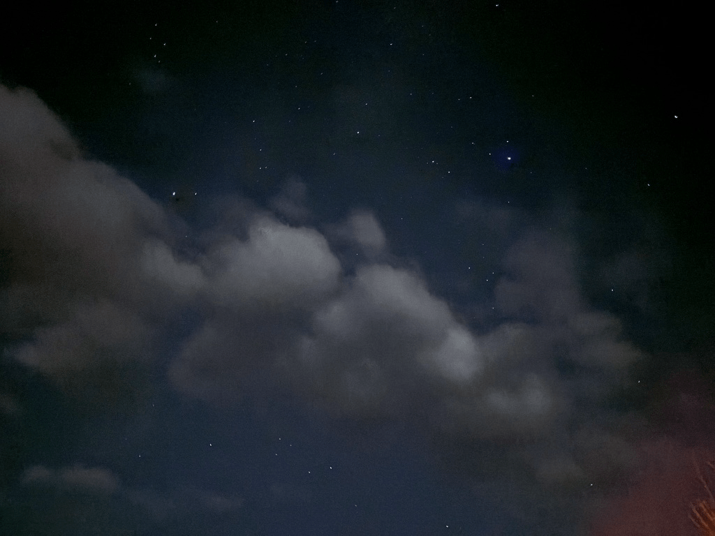
Billions of galaxies of billions of stars only slightly obscured by magnificent clouds…
By now you have noticed I try to bracket the beginning and ending of each day with a sunrise and sunset photo respectively. I would be remiss to not suggest a reasoned explanation of the cosmology to which I have such regard and awe. This is not something I do just on these motorcycle rambles. It’s a bit of my “spirituality” I try to practice regularly having abandoned, And now I lay me down to sleep…
I offer you Dr. Sagan and invite you to enjoy a moment of respect to stand at the edge of forever… You must understand, I am forever an educator and though retired from the occupation, I continue to cultivate an enlightened understanding of the very phenomenon that produces my regard and awe to which I retire at the end of the day and embrace each new day.
CARL SAGAN COSMOS Episode 10 The Edge Of Forever
Day 7 / Saturday, Sept 13 – Bridgeport → Home
Bridgeport –> Home ~152 miles over Sonora Pass, 168 miles over Tioga Pass
There’s not much that’s complicated about our homeward leg of this seven day Ruby Mountain Ramble. We did need to wait for the sun to rise and dry things out.

Imagine awakening to a fog bank. Crawling out of our tents, we were met with wetness from within (condensation) and wetness from without, (drizzle). But the ever-ready JetBoil mochas took away the chill warming within as well as without.

Fortunately, though fall was in the air, the sunrise went to work drying out our gear as we packed for our last leg of the Ruby Mountains Ramble, homeward bound.
As we were breaking camp, a conversation with a dad we’d briefly encountered the afternoon before, who had that faraway look in his eyes as we shared our journey, turned into what has become a frequent discussion of motorcycles past and present with new acquaintances. He was with his family of five children, wife, and dog who late in the day before, expertly backed their gigantic 38 foot trailer behind his heavy duty pickup into a narrow RV space. He saw that Pete and I watched intently, feeling pressure, but performing like Mac Jones in Brock Purdy’s absence in three divisional wins… (I’m composing this some three weeks after the actual ramble). If that makes no sense, we awarded him straight 10’s.
He shared that he too had motorcycles, an enduro and a Harley, that were gathering dust as soccer, toddlers, and a soon to be high schooler preempted dirt and wind therapy sessions on two wheels. For now it was 10 wheels and RV park therapy with his family. We were both impressed and expressed our admiration for his familial commitment.
We bid adieu to our campground neighbors, Bob and Marge across from us who got into an argument the day before as Bob tried well in excess of the number of tries to back his truck and trailer into their site for his fragile pride. There was the cigarette smoking veteran who shared his experience on baggers across the basin and range of Nevada, along with our committed dad and his tribe, as well as our camphosts who were very attentive to the Paradise Shores infrastructure during our brief stay.

…and to the family of quail who resided along the shore of the Bridgeport Reservoir. Just how many quail qualify as a covey?

After a quick gas station refuel and breakfast of tomato juice for me and a cup of joe and deli sandwich for Pete, we decided to take CA-108 back over Sonora Pass. Overdressed for the ride over the pass, we stopped briefly at Kennedy Meadows to de-layer before arriving back home a few hours later, all the better for our mild ride or epic adventure. You can decide for yourself.

Born to be mild…
Epilogue
1,444 miles on the trip meter. Another ramble that I hope my sometimes rambling narrative provides inspiration to get out and do it because as Stephen Bruton sings in World’s Fading Man,
Has anybody here
can you find my shadow
Like a slow burning candle
I thought it would last
Seems like I’ve lost
What was too hard to handle
Now there’s less of my future and more of my past
Just ‘cause you can’t recall
don’t mean it didn’t happen
Just ‘cause you can remember
don’t mean that it did
And while you’re at it, Take it Easy