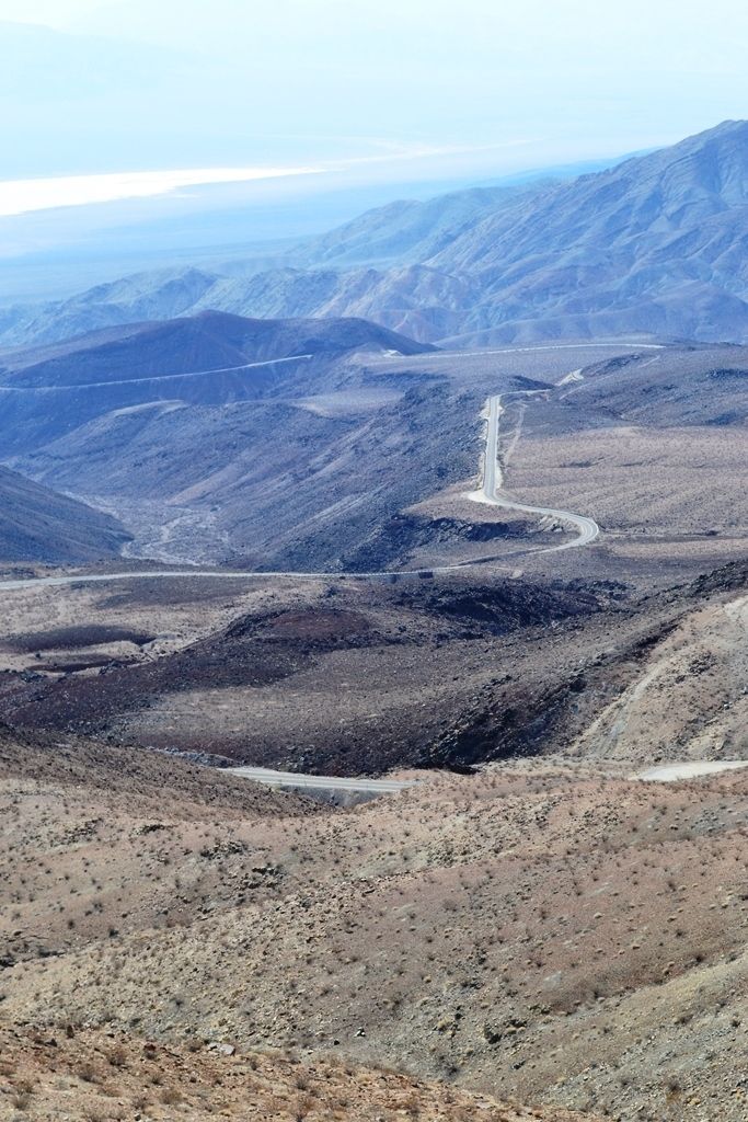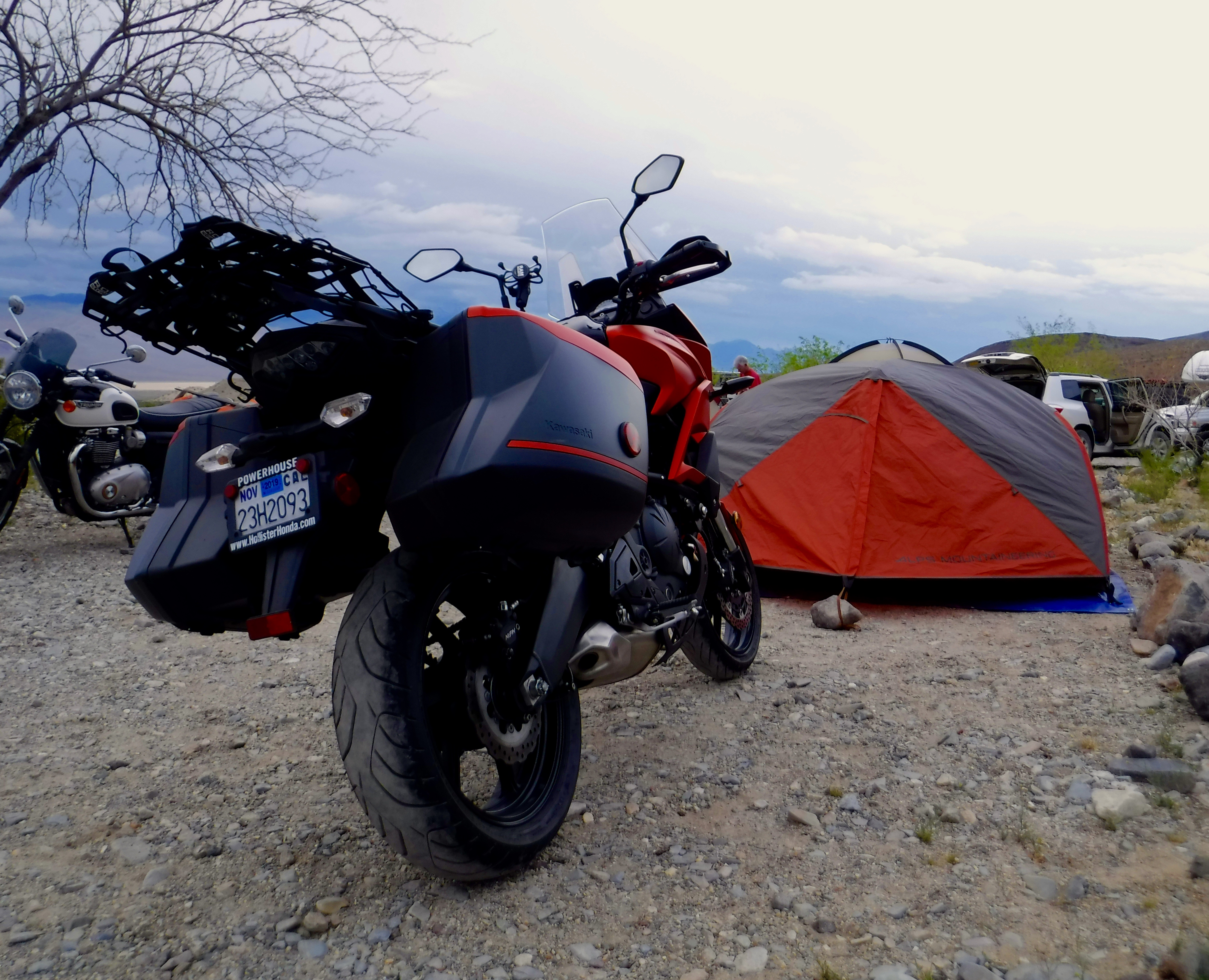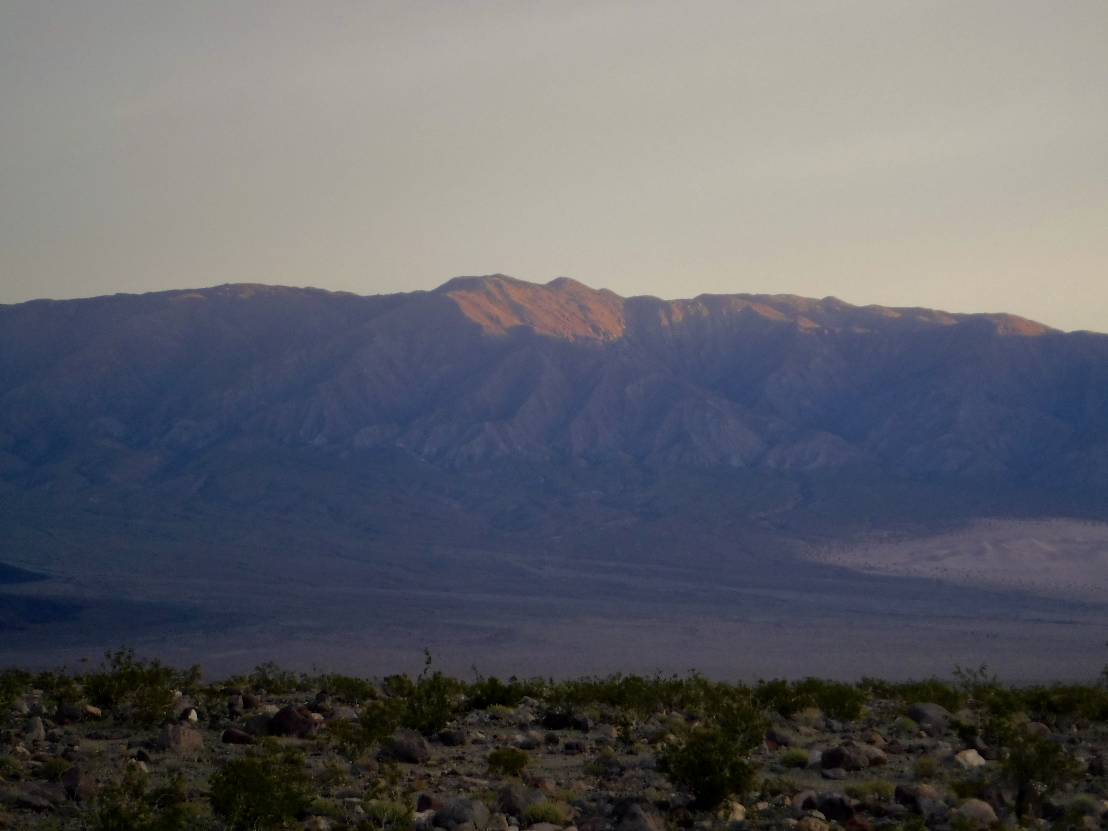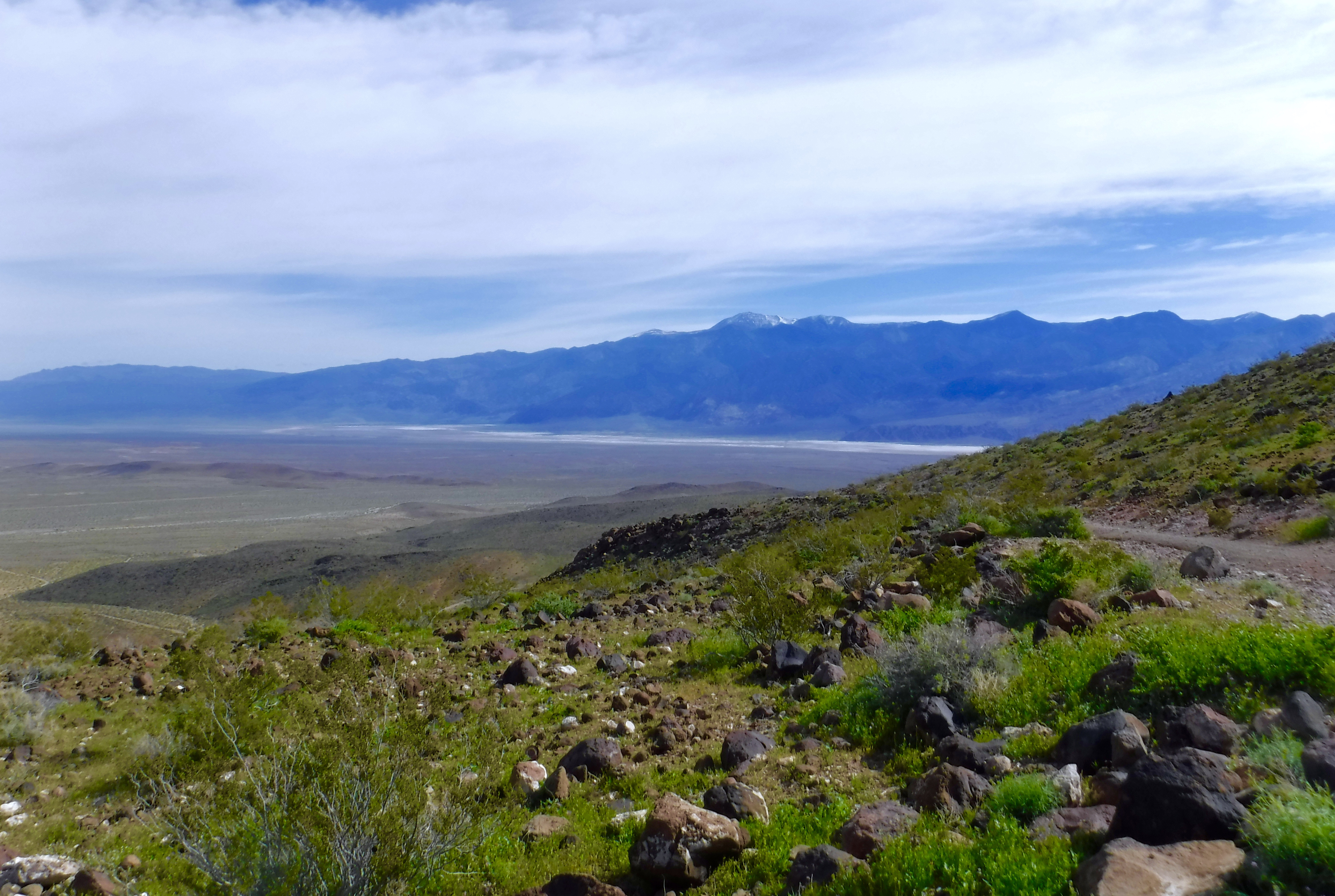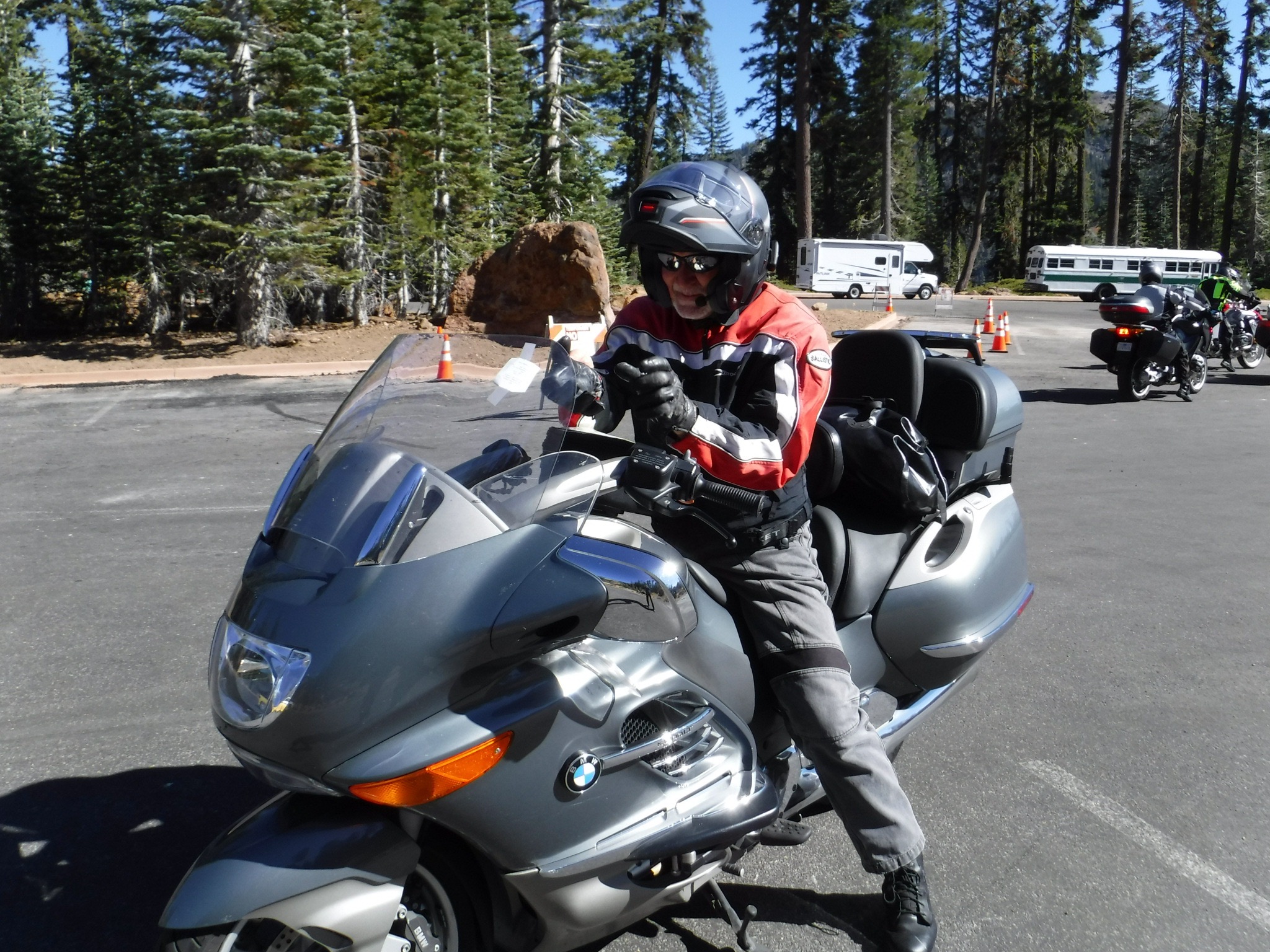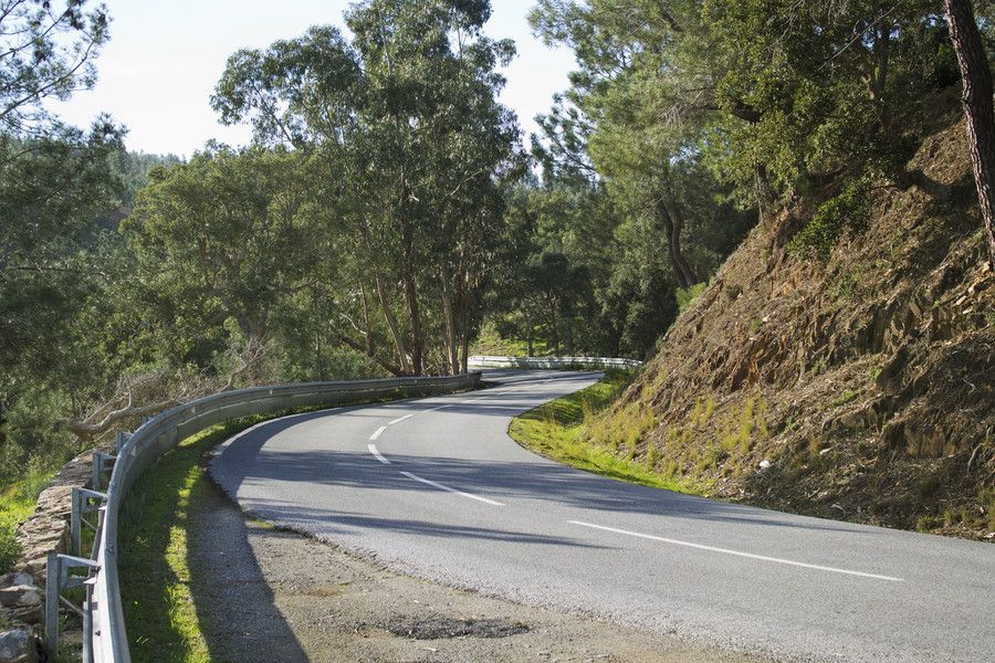
2019 Fall Moto: Riding Under A Fool Moon

Death Valley by Moonlight

It all began as an invitation from Andy Neufeld to ride the moto, with whom in countless chance meetings at the supermarket or hardware store our conversation always ended with, “Let’s get together and ride some time…” The body of the emailed invitation follows:

“Please get your bike (and your core) in shape and join me for an October ride. I propose that we leave Merced on the morning of Saturday, October 12 and cross over Yosemite National Park via Tioga Pass Road.”

“I propose that we then continue south from Lee Vining and stay the first night either near June Lake or near Mammoth Lakes. Mammoth is the more populated and busy of the two areas and it’s a little further along the route but in my opinion, June Lake is more desirable.”

“From the Lakes area I propose to travel to Panamint Springs and rest there through the middle of the day.  Panamint Springs is a bit on the rough side as tourist destinations go. There are, however, hot springs and resort environments.  There may be beer available for purchase. “

“When the sun goes down in Panamint Springs I propose to travel across Death Valley by the light of October 13th’s full moon, arriving late at our next destination, which will be Beatty, Nevada.”

“After a night in Beatty, we will travel north through Nevada and turn west toward Lee Vining, where we third and final night. The next morning, it’s back home through Yosemite.”

“I am inviting 4 people for this ride. If you can come, you are welcome to invite others. Please let me know if you are able to come, and how many you will be, and I will get to work finding us places to stay!”

I always get excited when invited on a ride. Especially one that comes with an itinerary and disclaimers and endnotes:

  1. Weather can ruin everything. It can certainly change plans without notice. We’ll have to deal with it.
  2. In my imagination of this trip, the riding will be the roughest part. No sleeping on the ground or eating out of cans.
  3. There should be no expectation of any standard of any sort for gear or machines.
  4. There are lots of individual decisions to be made and people might join late, leave early, or generally go off on their own paths at any time.
  5. Sound like fun? Then let’s go!

Little did I know what was meant by disclaimer (or note) iv, “There are lots of individual decisions to be made and people might join late, leave early, or generally go off on their own paths at any time.” Especially the “go off on their own paths” part…

Day 1, Up and Over Tioga Pass

It doesn’t take much of a reason to get me packed and ready to roll as the sun rises…

A disclaimer of my own:

Sadly, WordPress won’t allow directly embedding any of the video I took from the moto. I would first have to publish it on YouTube and link the content. I’m new at the whole GoPro thing, but there were several spectacular clips riding over Tioga Pass that would have added to the beauty and feel of the ride. The old dog needs to learn some new tricks… That’s why there are no photos of our crossing.

Another friend, fulfilled Andy’s generous offer to invite others and ignoring his second end note or disclaimer (ii), Pete Etchegaray, who you might have noticed has appeared in several of my previous moto adventures. Pete and I planned to camp. We drew the line at eating out of cans however.

Stoked to travel over Tioga Pass in the fall to enjoy the splendor of an East Side autumn was a deliciously seductive reason to ride in October. Sunny days and chilly nights were perfect, especially since we’d come off of a debilitatingly hot summer and that we’d only be riding through the night on the Death Valley leg of the journey. Perfect!

If you look closely, there’s a black air duct just above the cylinder head as we paused for a PS in Coulterville

Seems to me Coulterville could use a visit from Kevin Bacon…

We began the ride by making our way to Hwy 120 via Hwy 59 north through Snelling, Merced Falls Rd. and Hwy 132 to Coulterville, Greeley Hill Rd. to Smith Station Rd. and the northern route through Yosemite. With the exception of a brief delay on the Greeley Hill Rd. leg to look for, but sadly not find, an air duct that fell off of Andy’s “Flying Brick”, we arrived in Lee Vining at the Whoa Nellie Deli for a snack around noon.

Pete who upgraded from his iPhone 3 to an X has become an expert at selfies; this one from Lee Vining
Compare Pete’s technique with IOS and Andy’s with Android
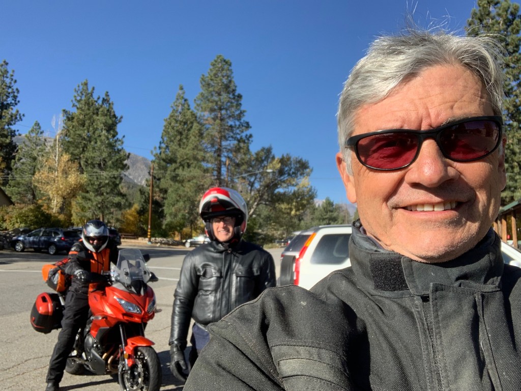
Andy (center), Pete (Right) and Yours Truly (rank amature selfie taker) at Karl’s Chevron Station in Mammoth where a quick headlamp change would improve my night riding vision

We arrived in Mammoth intending to meet with a veteran bicycle riding comrade, Karl Teller to exchange mockery, insults, and other juvenile impudence. However, as once before on an earlier Autumn East Side Moto, Karl and his son Johnny were off bow hunting elk. I guess next time I come to visit I’ll check the California Fish and Wildlife Big Game Hunting Digest to see what’s in season and when…

After a fine dinner at Roberto’s in Mammoth watching the sun set over the Sierra, the night chill began to weigh on our decision to ignore that second endnote as we motored back to the Sierra Nevada Lodge. We decided to disavow the notion of camping choosing instead to awaken in a warm motel room rather than a frosty campsite.
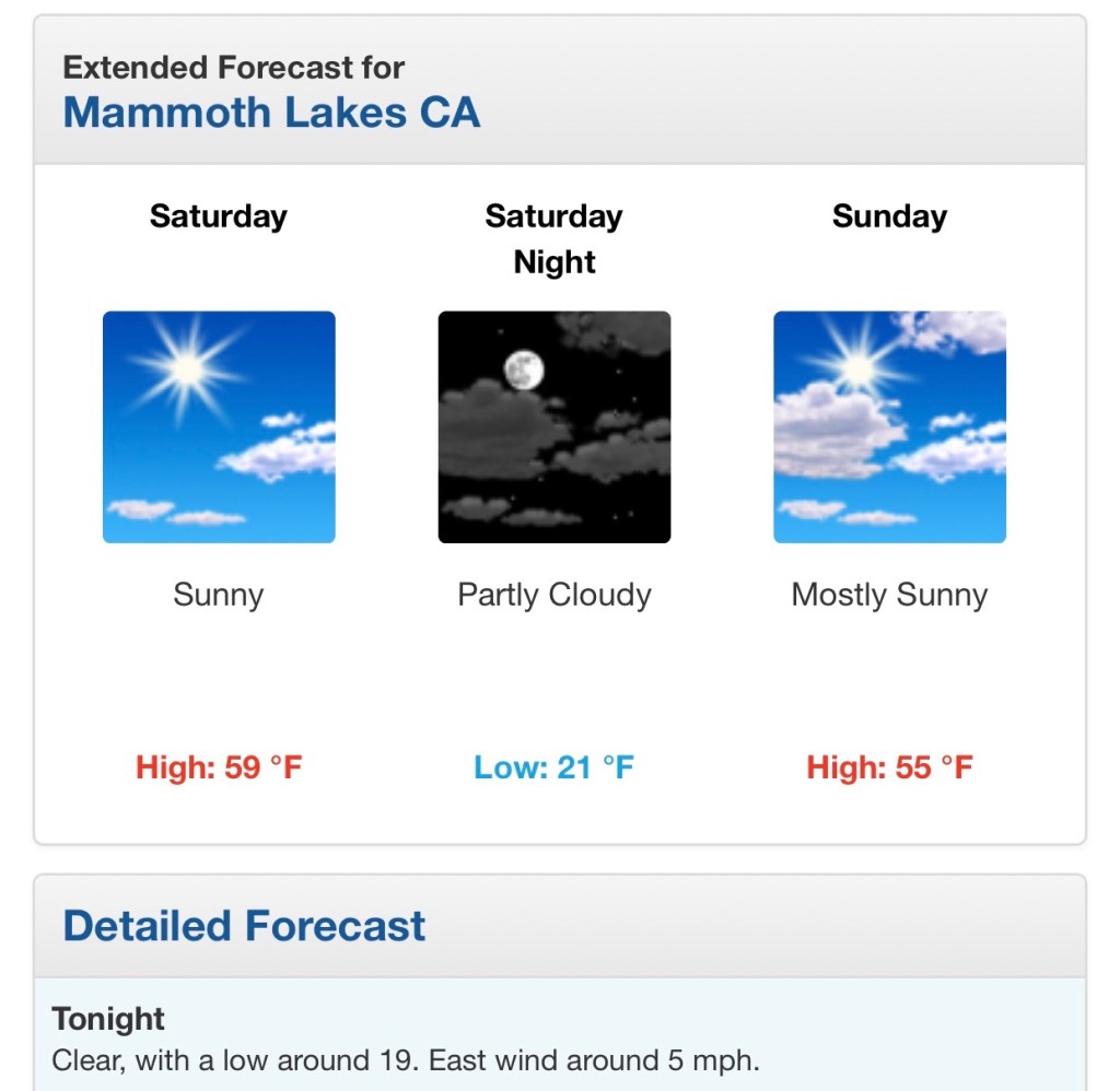
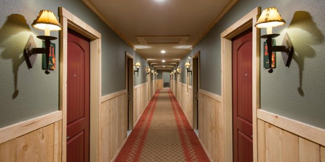
Warmth, like discretion, seemed to be the better part of valor as data driven decisions made sense

Day 2, Elevation Extremes

Awakening to another clear sunny day, though chilly to be sure, we set off for breakfast at the Tom’s Place Resort, Cabins, Lodge, General Store, Cafe & Bar near Crowley Lake down Hwy 395 from Mammoth.
Manzanar Camp

Having time but little distance to make our afternoon destination in anticipation of the full moon rise, we took a side trip up to Whitney Portal along the way stopping at the Manzanar Camp, a U.S. National Park Service Historic Site just north of Lone Pine. A little history thanks to the NPS:

In 1942, the United States government ordered more than 110,000 men, women, and children to leave their homes and detained them in remote, military-style camps. Manzanar War Relocation Center was one of ten camps where Japanese American citizens and resident Japanese aliens were incarcerated during World War II.

I highly recommend touring the Manzanar Camp. I recall my first visit some 40+ years ago when the visitor center facility that is now a remarkable interpretive, interactive, historical museum of Smithsonian caliber was then a road maintenance facility for Inyo County. If timed right, you could jump the fence, trespassing, and examine the camp’s ruins back then. Today the Park Service has reconstructed many of the features of the camp with the compelling story of the hardships imposed on the interned, but resourceful and dignified Japanese American citizens during WWII.

Not likely to make the 400n-th movie

Upon arriving at Lone Pine for fuel and a mid-day snack, we were diverted from Hwy 395 to B Street so that a parade could commence commemorating the Lone Pine Film Festival. It seems that movies had been screened for three days, all day long and the event was wrapping up with a parade and later a campfire.

In 1920, Lone Pine was changed forever when a silent movie, The Roundup, was filmed in the Alabama Hills. Since then, over 400 movies, 100 TV episodes, and countless commercials have been shot in location in the area, immortalizing the striking rock formations and taking advantage of the picture-perfect weather.

https://lonepinechamber.org/history/the-film-industry-in-the-lone-pine-area/

If you are curious: https://en.wikipedia.org/wiki/List_of_films_shot_in_Lone_Pine

I’ve always enjoyed spotting Mt. Whitney in as a backdrop to many of the western films I’ve seen over the years. Indeed the mountain is the star!

Whitney Portal

The East Side of the Sierra Nevada Range or what Mary Austin called “The Other Side of California” is captured in John Muir’s concise description, “In general views no mark of man is visible on it, nor anything to suggest the richness of the life it cherishes, or the depth and grandeur of its sculpture.”

The road to the road’s end at the portal is filled with stunning views of the peaks above and the valley below, each stretch of pavement revealing the majestic geology characteristic of this extraordinary western landscape. You have to overlook the road, movie crews, and other folks bagging the YOLO hike up to Whitney summit to appreciate Muir’s description, however, there is this…

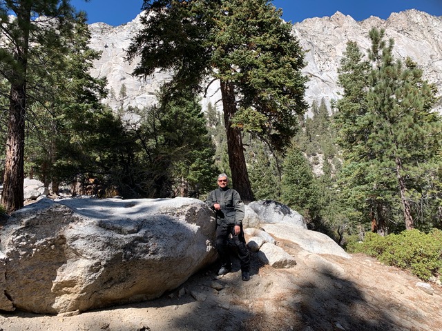
Top pic below: Pete, Andy, and Mt. Whitney with a guest appearance by the official LP ‘Bama Hill; Next pict, Tj and Mt. Whitney; 3rd pic, Andy as Motaur; Last pic in the series, the Owens Valley, Alabama Hills, the southern terminus of the White Mountains, and what’s left of Owens Lake…
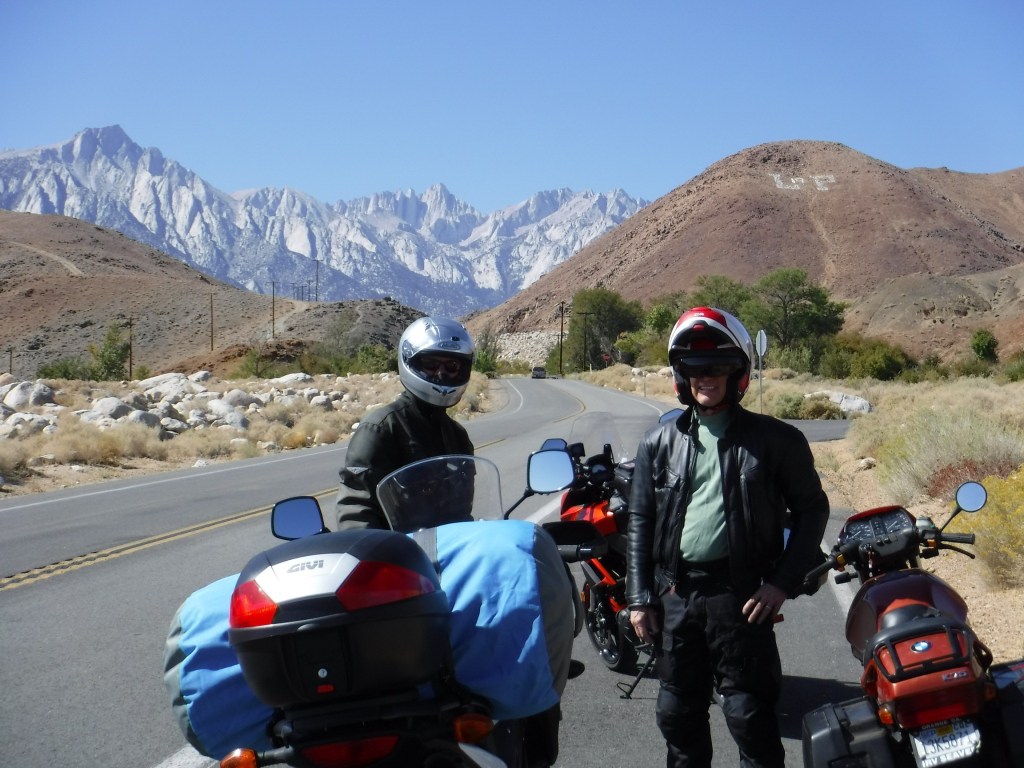
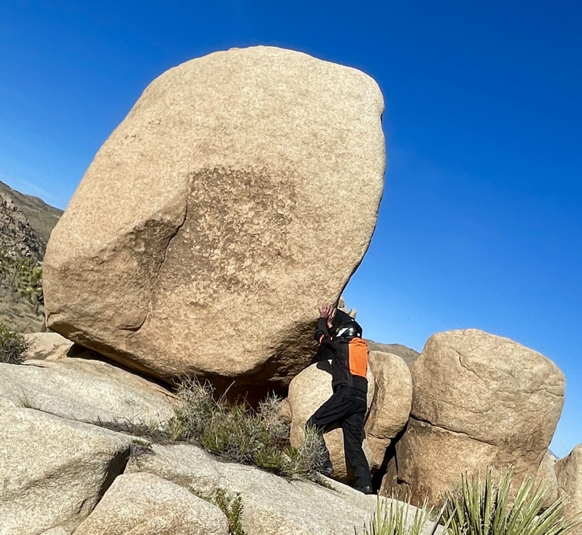
Pete on the rocks followed by a sweeper, neat, back…
Onward to Panamint Springs

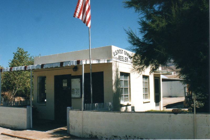
No trip to Death Valley would be complete without entering the park from the north out of Lone Pine. After a brief reach on Hwy 395 south from Lone Pine to the intersection with Hwy 136 we headed in south-easterly direction through the settlements of Dolomite, Swansea, Keeler, all having seen more prosperous days when silver ingots were hauled by steamship across Owens Lake and then by rail to Los Angeles from ore mined at Cerro Gordo in the 1870’s. Had Andy and I been on more adventure worthy bikes like Pete’s V-Strom, we would have taken the 4×4 road up to the ghost town. Cerro Gordo will have to wait for the next bike upgrade.

History lesson: The 1872 Owens Valley Earthquake interrupted mining briefly rendering a pier in Swansea inoperable so enter Julius M. Keeler whose steamship “Bessie Brady” brought ore from Keeler across the lake to the town of Cartago. 1882 the Bessie Brady was destroyed by fire. There was a 300-foot wharf at Keeler, and the steamship route cut days off the time a freight wagon would have taken to circle the lake. She carried 700 ingots at a time in a three-hour crossing. Silver prices in the late 1800’s plummeted so the next boom of zinc, rallied the town along with small surges in the mining of silver, lead, and limestone. However, by the 1950s all mining had ceased. Train service was stopped in 1960.

A few reminders of those better days remain as does a small population of residents in Keeler.

A Catholic Priest and a Jedi Knight

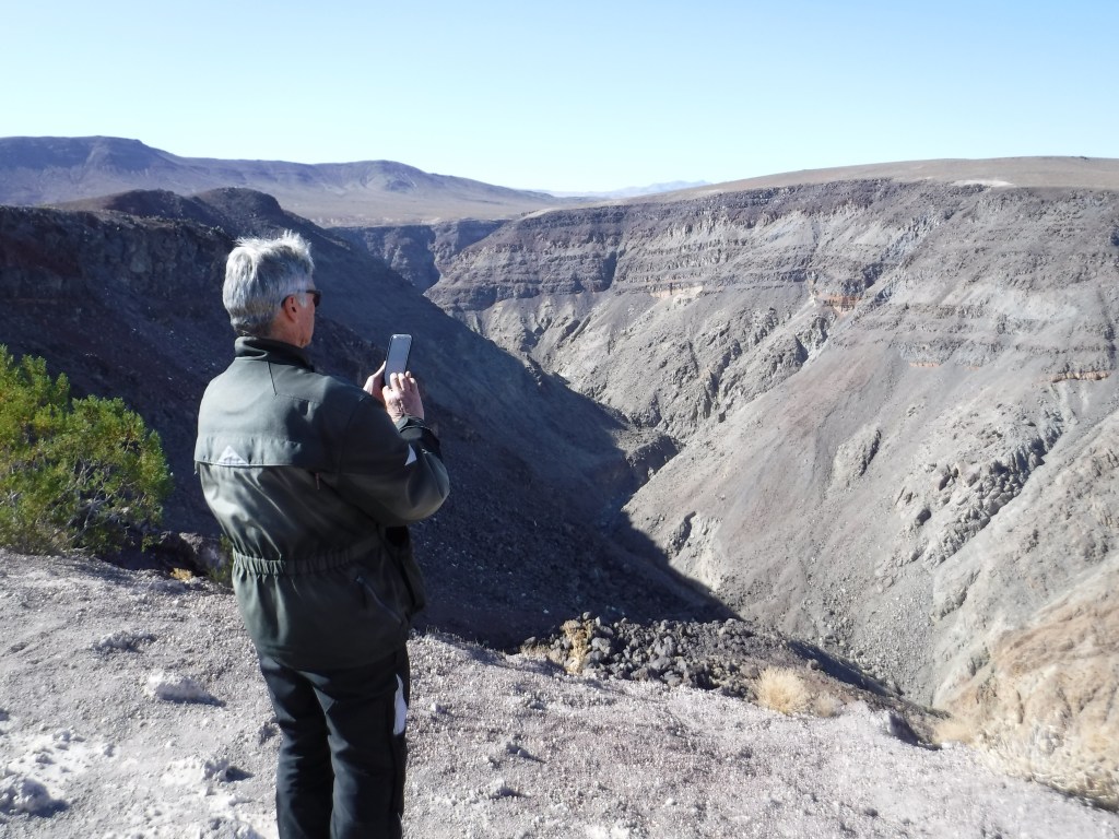
Continuing east on Hwy 190 we rolled up and down, but more down than up considering we were heading towards Death Valley into Panamint Springs. The highway takes you through Rainbow Canyon (nicknamed Star Wars Canyon and Jedi Transition) just inside Death Valley National Park in Inyo County on the park’s western border. It is commonly used by the United States Air Force and Navy for fighter jet training and is frequented by photographers who, from the canyon rim at the Father Crowley Overlook, are able to photograph jets flying beneath them.

No jets today Pete, who is neither a priest nor Jedi Knight, as far as I know…
History lesson cont.: Father Crowley, for whom Crowley Overlook is named, is also the namesake for Lake Crowley, just north of Tom’s Place. Upon the completion of the Los Angeles Aqueduct in 1913, the diversion of the Owens River by the Los Angeles Department of Water and Power took the water from the the “Land of Little Rain” along 223 miles to Los Angeles, resulting in that city’s phenomenal growth. No mystery in the corresponding decline of the Owens Valley farms as the once verdant and productive agricultural economy collapsed. Before long, the verdant valley was returned to desert conditions where the vegetation consisted largely of greasewood and sagebrush. It was in this harsh environment that Fr. Crowley would live during his years of service to the area. With the demise of agriculture as an economic base, Fr. Crowley turned to tourism as a potential means of helping the valley residents survive. Learn more at: https://www.catholic.org/featured/headline.php?ID=1576

Tourism, that’s what gets a lake and and overlook named in your honor on The Other Side of California.

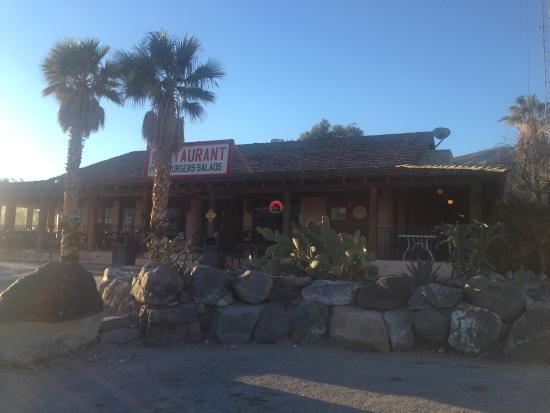
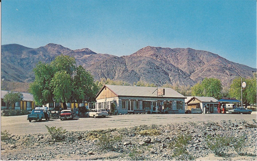
The Panamint Springs Resort in the 1950’s (top) and today…
Slipping into Darkness

After a fabulous burger and a thirst quenching draft we retreated to our respective corners. Andy found a lovely ironwood tree to nap beneath at the Panamint Springs Resort. Pete and I schemed to get a tent campsite and lodging for Andy so that we could enjoy the serene beauty of a night in the Panamint Valley as we had in the prior spring. Since riding across Death Valley under the cover of darkness illuminated by a full moon was the raison d’être, we thought we could use the resort as our base camp and tool around Death Valley and return to the camp that evening. After awakening Andy, since it was his inspiration to ride under the full moon to Beatty, we folded. After fueling up, we set off for Furnace Creek.
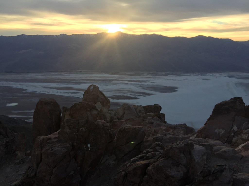
From a previous trip in 2016 (See Sand to Snow) we intended to catch the sunset from atop Zabriskie Point.

Since we were only 140 miles into our 290 mile day we topped off our tanks with some expensive petrol and as the sun was disappearing quickly, we bypassed the road to Zabriskie Point for the sunset. Besides, it was closed for repair, thus beginning our trek across Death Valley (278.5 feet below sea level at Badwater) in the fading light of the day. Seeing a young coyote alongside the road in the fading twilight–the soft, diffused light from the sky when the sun is below the horizon, either from daybreak to sunrise or, more commonly, from sunset to nightfall, or, a state of uncertainty, vagueness, or gloom–? You decide as I began to wonder about other potentially somewhat immovable obstacles that might wander onto the road. You know, like a freed descendant from the 20-Mule Team or Death Valley Scotty’s great, great, grand burro enjoying a saunter in the full moonlight. But the air, much cooler than the temperate mid-eighties of the afternoon and the low angle of the setting sun made for a dreamlike landscape and collision concerns briefly faded. Blissful optics only lasting for a few miles so we hunkered down keeping eyes peeled for any critters or road conditions that might detract from the otherwise surreal ride.

Fooled by the Full Moon

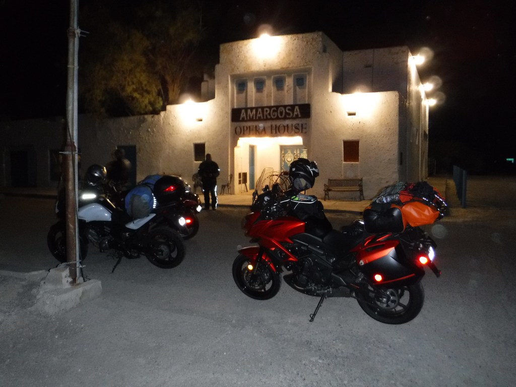
We didn’t really see the moon or enjoy it’s illumination until we had pretty much climbed out of Death Valley and began heading east on Hwy 190 crossing the Funeral Mountains. Finally, upon seeing the moon rise over the Funeral Mountain Wilderness Area, we pulled over. It wasn’t disappointing, it was just sort of not as we had imagined. Bundled up in ATG and concentrating on the road, the whole full moon affect was not so much noticeable. At least not like cross country skiing across a frozen Ostrander Lake, hiking above the treeline on the Sierra over Muir Pass, or sailing on the San Francisco Bay under a full moon. Besides now it was getting cold as we climbed up Hwy 190 out of Death Valley and we had variously been on and off the bikes for 12 hours. Fortunately the glow on the horizon of Amargosa Springs gave us inspiration to keep going so that stopping and adding a layer of insulation would make the final 70 mile leg possible, if not a little more bearable, in wind chilled to the single digits according to Pete’s V-Strom ambient temperature gauge.

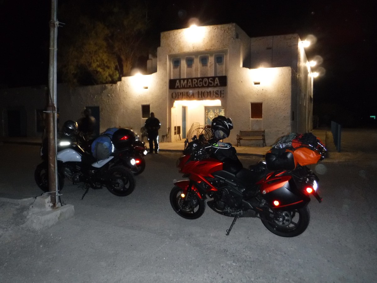
Andy as the OH (original hipster) in minimalist leather and jeans…

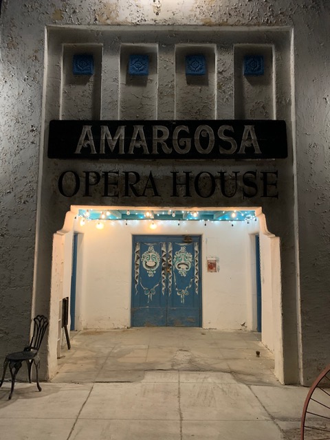
From Wiki: Amargosa Opera House and Hotel is a historic building and cultural center located in Death Valley Junction, in eastern Inyo County, California near Death Valley National Park. Resident artist Marta Becket staged dance and mime shows there from the late 1960s until her final show in February 2012. The Death Valley Junction Historic District is on the National Register of Historic Places and is owned by the nonprofit established by Becket for the preservation of the property. http://www.amargosaoperahouse.org/

Next trip along Hwy 127 the Amargosa Hotel is a must stop to stay the night…

The theater was part of a company town designed by architect Alexander Hamilton McCulloch and constructed in 1923–25 by the Pacific Coast Borax Company. The U-shaped complex of Spanish Colonial Revival architecture style adobe buildings included company offices, employees’ headquarters, a dormitory and a 23-room hotel with a dining room, lobby and store. At the northeast end of the complex was a recreation hall used as a community center for dances, church services, movies, funerals and town meetings.

Had we only known that the now hipsterish AH&C served, “Delicious entrees and nourishing choices with ingredients sourced from a surprising abundance of local artisanal growers. No visit to the Death Valley region is complete without the discovery of how well you can eat in the desert!” (from the Amargosa Hotel and Cafe website), we could have gotten rooms enjoyed artisanal abundance and ridden those 70 miles the next day in the warmth of daylight.

Spacing Out in Beatty

This guy must have had one too many hot dogs from the
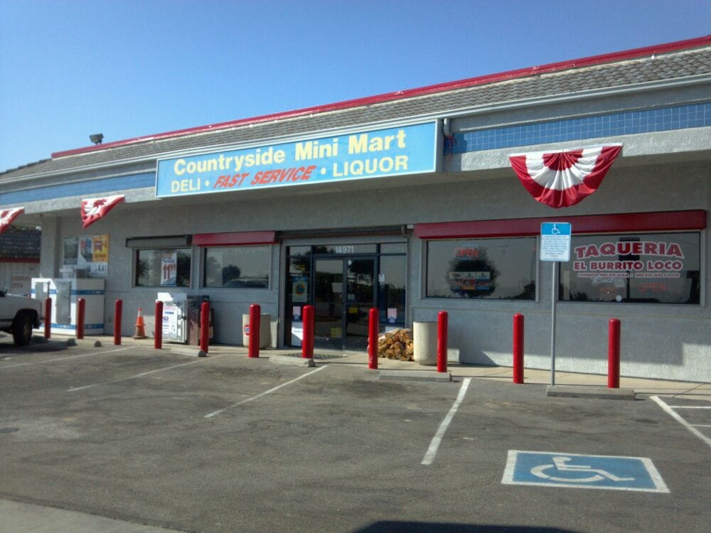
Rebel 74 convenience store

Riding Hwy 127 across the Nevada border then on Hwy 95 to Beatty was to say the least, a bit of a let down. The first hour of the night ride from Stovepipe Wells was sublime. The second hour of the night ride to Amargosa Springs was “interesting”. The third hour of the night ride to Beatty was agony. Cold, hungry, and in the dark on a motorcycle riding up a lineal two lane undivided highway heavy with triple tractor trailer rigs isn’t my idea of a great time. Given my latent masochistic nature though, I kind of enjoyed the suffering. I think we all did and if by our subdued manner upon reaching the hotel was any indication, the distress was nary mentioned.

I did express early in the planning stages that when we arrived in Beatty, if too beaten up to pitch a tent in the cold at 10:00 pm in the dark, maybe staying at the Atomic Inn would be just the thing… to do… in Beatty Nevada. From their website: “The Atomic Inn is a retro themed classic style Death Valley lodge located in the Eastern Mojave Desert in the Wild West pioneering town of Beatty, Nevada. We are the gateway to Death Valley National Park, located just 6 miles from the Hell’s Gate Entrance! Established in 1979, The Atomic Inn has been under new management since 2012. We have completely remodeled the rooms in our boutique, themed hotel to offer the finest Death Valley accommodations in the area. However, we do remain the most affordable of Beatty Hotels.”

Pause to think what “boutique” and “most affordable” in separate sentences means. Yep. You can tell you’re in quality affordable boutique lodging by noting the preserved 70’s era wall panelling and luxurious see through bath towels that also work as dermabrasion devices. Notice the classic Nevada landscaped theme in the bedding…
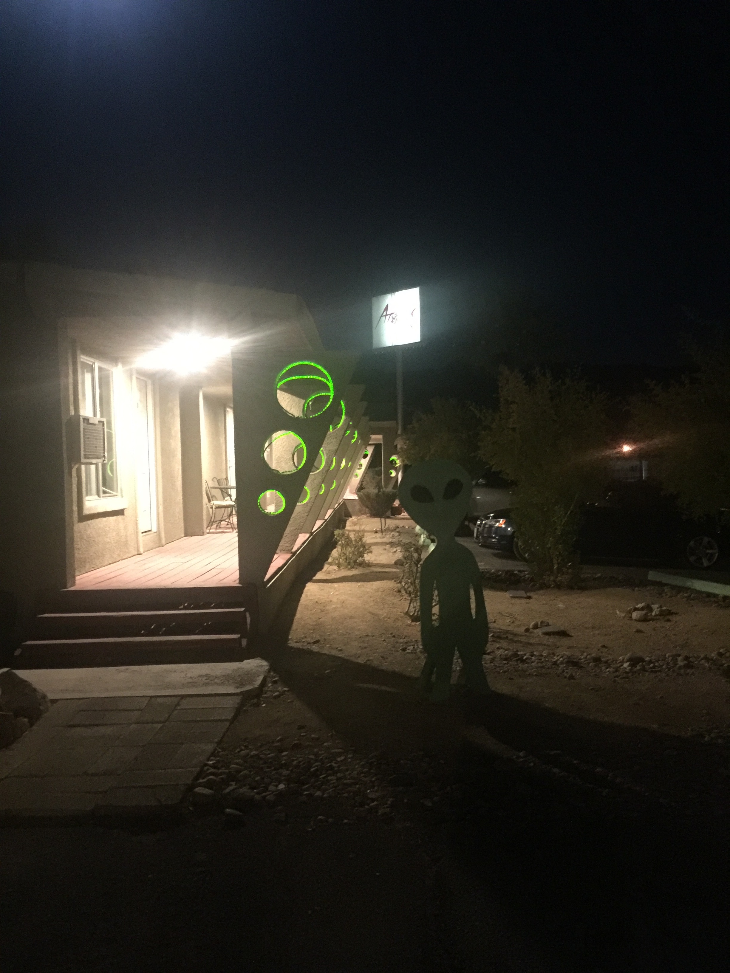
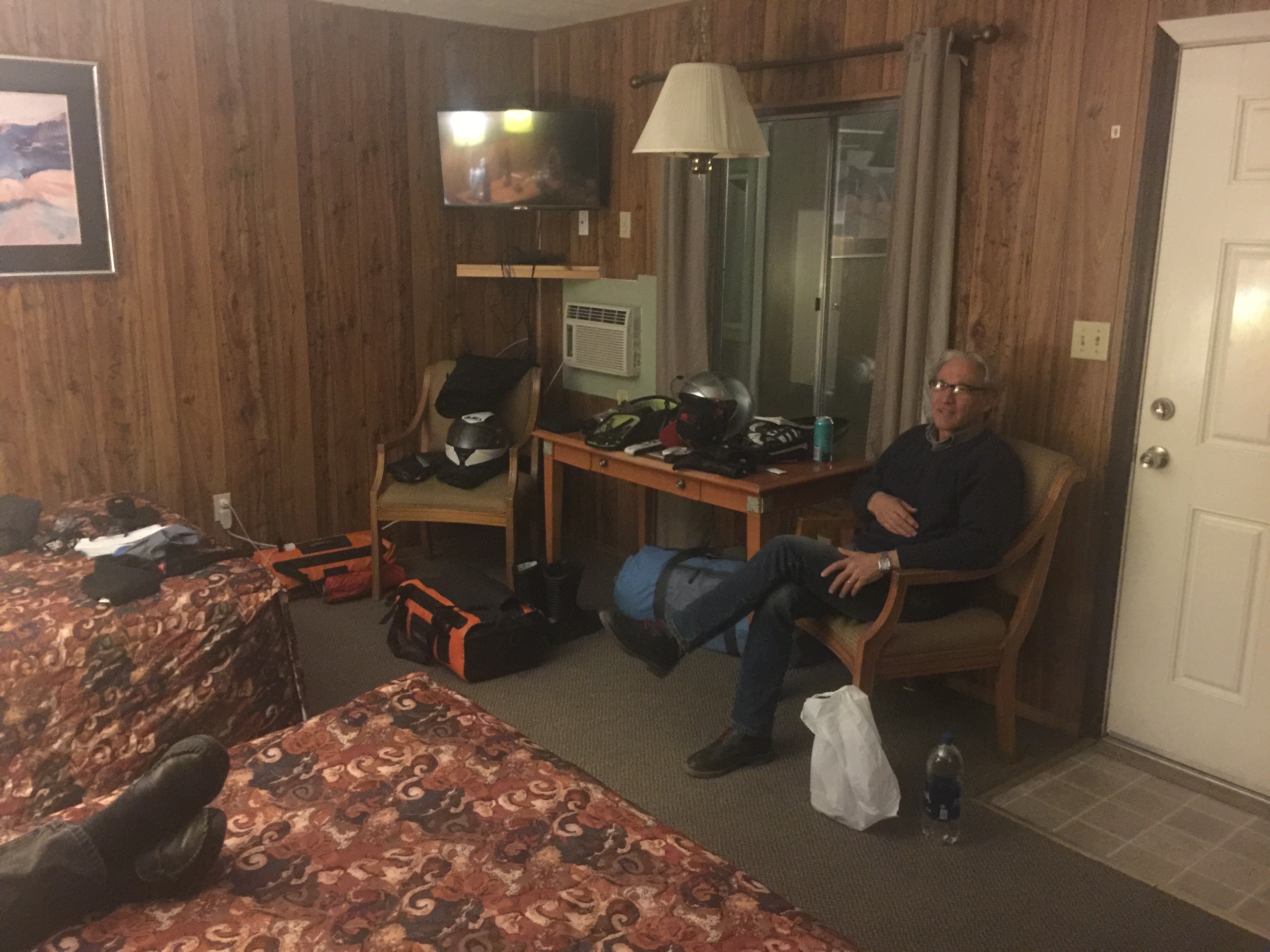
It was late so in lieu of a hot dog from Rebel 74 gas station (note Andy grasping his stomach having eaten one…) Pete and I opted for a tasty boutique microbrewed beverage. 40 years ago such a thing didn’t exist in Nevada. 40 years ago the Atomic Inn wasn’t a boutique inn either.

Day 3, Columbus or Indigenous I’m Not
The following Columbus/Indigenous Peoples’ Day morning awash with sun shine was much warmer than just a few hours earlier. Packing before breakfast, Pete a conspicuously minimalist rider and aspiring hipster, finished first while I was wrestling with my strap dense DrySpec bags as an aspiring geezer. Andy was enjoying a few extra minutes of snooze as a seasoned OH would. Pete happened to meet fellow motorcyclist who had also spent the night at the Atomic Inn and who is a member of the Women In The Wind motorcycle club. She had been on the road for a few days hailing from Kingman Arizona and was enroute to a club gathering on the coast of California, at Morro Bay or Monterey if memory serves, or somewhere in between. It seems the Atomic Inn appeals to we wind therapy seeking types notwithstanding gender or club affiliation. It’s also testimony of Pete’s uncanny ability to meet and collect the stories of fellow motorcyclists.
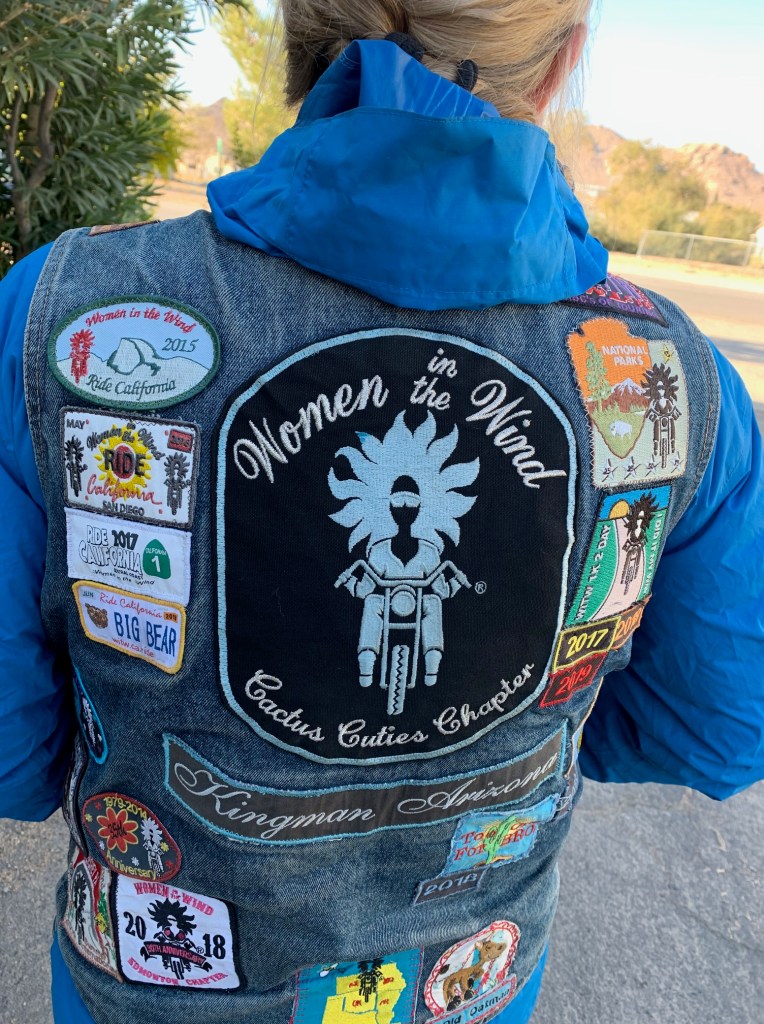
What would we call our club, Silverbacks in the Dust?

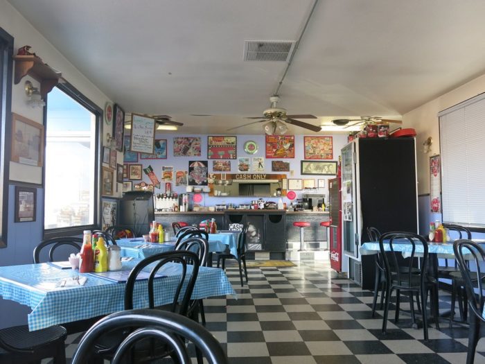
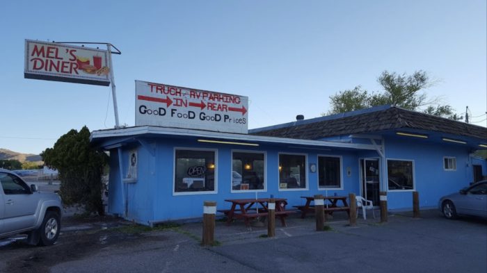
After a nice breakfast of corned beef hash, eggs, and hashbrowns at Mel’s we were caloried-up for the ride ahead to Lee Vining for the night. The service was a bit slow because the place was packed. We were only one of two tables where English was spoken. There were families and couples of French, Dutch, Asian and Spanish speakers, all of whom apparently have a knack for finding places like Mel’s. It may have some renown in the Yelps or TripAdvisors of the interwebs and therefore attracts unwitting foreign tourists. I’m sure the tired kitsched-out Happy Days theme is uncommon in Flanders or Paris. There was one hitch in an otherwise fine, yet ordinary breakfast experience. A churlishly rude and ill tempered waitress, far more so than the fabled surley servers at McSorley’s Ale House in NYC, seemed indignant to have to take orders or deliver plates. She had the customer service skills of Social Security aged Bevis and Butthead. Fortunately, we had a much nicer, younger, and far more affable waitress. Maybe if you live in Beatty long enough it changes you…

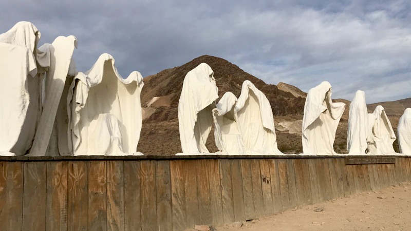
After a slight navigation error (uh, my bad) our attempt to visit Rhyolite and the Goldwell Open Air Museum installations fell flat as temperatures were rising and miles and miles of nothing but miles and miles lay ahead. https://en.wikipedia.org/wiki/Goldwell_Open_Air_Museum

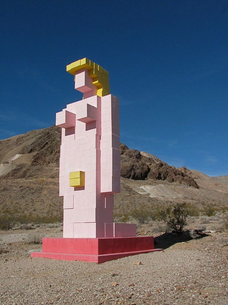
Passing through Beatty once more, having traveled some twenty miles in the wrong direction, we righted our course and lo and behold we encountered our first true sign that we were definitely in Nevada.

Now closed, Angel’s Ladies Brothel in Beatty, Nevada. Perhaps the ill-mannered waitress is a disgruntled former employee or maybe a surviving passenger?

Oops, I (He) Did It Again

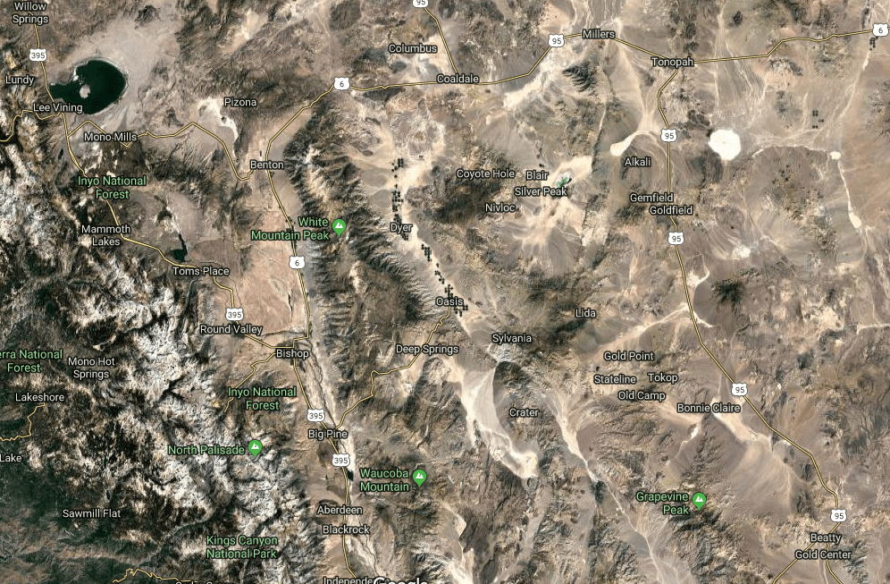
Our day included the option to head north on Hwy 95 to Lida Junction (home of the boarded up Cottontail Ranch Brothel) (Like Amazon, has the interwebs delivered the demise of the local Brothel?) then west on Hwy 266 to the Oasis junction then on to Hwy 168 over the twisties up and over Gilbert Pass to Big Pine. Another option was to travel further north to Tonapah then head west on Hwy 6 to Benton Springs. None of the three of us view love as a game nor do we have any affection for Tonopah. I don’t think Britney Spears, whose lead single from the album by the same name, Oops I Did It Again (not Tonopah), had geography on her mind when belting out the song on MTV in March of 2000 following the Y2K scare. Nor do I think she ever performed in Tonopah. Nor did Andy, who at mid-day, suddenly disappeared for the second time on the ride. (We are sworn to never speak of the first time he went MIA.)

I had taken the lead with Pete and Andy behind. The roads were true and in good condition so the throttle hand was itching to eat up some miles. When I arrived at the Y in the road where Hwy 266 splits from Hwy 168 I had by then lost sight of my two companions.
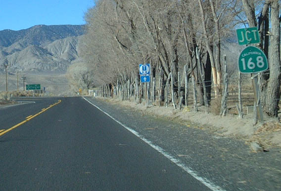
Like the closing stanza in Robert Frost’s, The Road Less Traveled;

I shall be telling this with a sigh
Somewhere ages and ages hence:
Two roads diverged in a wood, and I—
I took the one less traveled by,
And that has made all the difference.

Not ages hence, as I write this in November following our October adventure, and not in the woods but along a tree sided road, I sighed and thought that we had clearly discussed this junction, at and earlier junction to Goldfield on 266, when we contemplated how lost we were. You see, this part of the ride was untraversed by any of us in the past as had much of the prior route. I pitched the leg earlier because it passed by Deep Springs College once over Gilbert Pass on Hwy 168 to Big Pine.

From Wiki: Deep Springs College is a small, private liberal arts junior college in Deep Springs, California. With fewer than 30 students at any given time, the college is one of the smallest institutions of higher education in the United States. https://youtu.be/utziPMKcK3U

Deep Springs is founded on three principles, commonly called the “three pillars”: academics, labor, and self-governance. In addition to studies, students work a minimum of 20 hours a week either on the ranch and farm attached to the college or in positions related to the college and community. Position titles have historically included cook, irrigator, butcher, groundskeeper, cowboy, “office cowboy”, dairy, and feedman. Deep Springs maintains a cattle herd and an alfalfa hay farming operation.
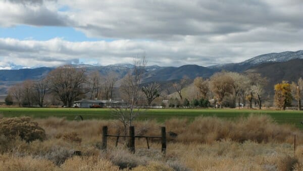
Deep Springs College, home of the Cowboy Scholar

Why I chose Chico State over Deep Springs is a something of a regret I have. What I didn’t have is the IQ to get into the place… https://www.deepsprings.edu/

When I arrived at the summit of Gilbert Pass weaving in and out of scores of perfectly banked curves I decided to rest, collect myself for the downhill, and await my pals. After a few minutes with no sign of the lads, Pete arrived and asked if I had seen Andy. Uh, I thought he was behind you… After waiting for 20 or so minutes, we decided to turn back and find out what was up insofar as we were concerned given an earlier episode (which we are sworn never to mention).

Arriving back at the Oasis junction, no Andy was in sight. We puzzled over whether he had taken the wrong road, one diverging in an alfalfa field, one less traveled by, wondering what difference it would make. After inquiring at what appeared to be a ranch where the residents were apparently checking the back 40 and not around, I stopped a car asking the two young Parisians if they had seen a fellow on an orange moto heading east in the opposite direction from them on Hwy 266, the road less traveled. They smiled and said they had not. I asked them if they needed directions. Smiling again, they did not. I thought about how my dear and departed friend Larry would have handled that encounter. I am not worthy…

Pete and I decided to ride up and over Gilbert Pass, past Deep Springs, and high-tail it to Big Pine over Westgard Pass where we knew cell service was available to give Andy a head’s-up. Getting to ride the twisties back up Gilbert Pass again distracted me temporarily about wondering where Andy was and appeased my disappointment for not stopping and checking out Deep Springs College, maybe buying a tee shirt or mug. On my first trip up and back down the road, I passed by a pick-up and camper rig that was on the side of the road with a family having lunch. There was a table and chairs and food so I didn’t bother stopping and asking if they needed assistance. On the second trip up with Pete we noticed another vehicle stopped and so we decided to inquire. Neither vehicle’s occupants spoke English. Dutch and French again. Imagine that. Assuring us they were okay and awaiting a tow truck, we departed.

No sign of Andy, just a sign

Following Gilbert Pass we enjoyed Westgard Pass, one of the best ways to pass time on a moto.
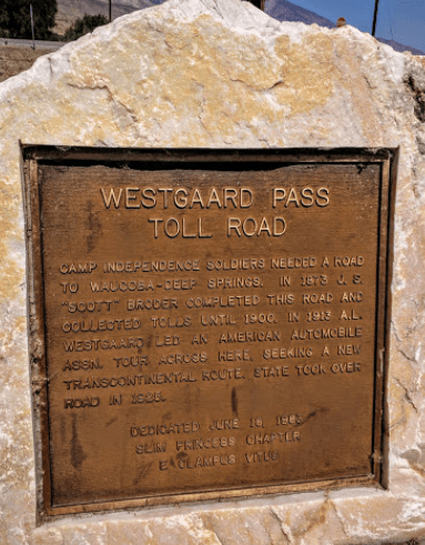
We rolled into the Mobile station in Big Pine. I called Andy leaving a voicemail and text and retreated into mini-mart seeking a High Brew “for those who do” and some sunflower seeds. As I was walking out of the store, checking my phone to see any response from Andy, I look up and what do I see? Andy walking up! I was relieved to find out that he wasn’t abducted by aliens that are rumored to visit the area in a cosmic rapture but that he consciously decided to take the road to Dyer, a 30 mile detour form Oasis, to get fuel as the “Flying Brick” didn’t have the gas mileage or capacity of the Kawasexy or Wee Strom. Feeling relieved we soon hit the pavement heading to our Lee Vining destination for the night (refraining from mentioning the earlier episode about which we’ve sworn to never speak).

Benton Breakaway

A quick 15 miles on Hwy 385 we continued north from Bishop taking Hwy 6 to Benton Station and the intersection with Hwy 120 to Lee Vining. Benton Hot Springs, a few miles west of Benton Station, is a funky relic of a time when miners and original Cowboys enjoyed the mineral waters heated from the depths below the thermally active Long Valley Caldera. https://volcanoes.usgs.gov/volcanoes/long_valley/

From the Historic Benton Hot Springs website:

The west was wild along the California and Nevada border in the late 1880s and Benton Hot Springs was no different. Horsemen came in from around the range on payday and enjoyed a good meal, a stiff drink and anything else they could find. The town was populated by fairly peaceful folks, but there was a sturdy jailhouse for those stepping over the line.
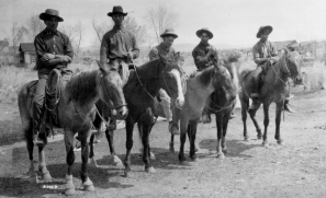
Some Original Cowboys
Above is a historic picture of the hot springs at Benton. One was described in a 1915 book as issuing water at 135 °F (57 °C for our Dutch and French friends)

Benton was once a small mining town with up to 5,000 inhabitants. Many of the original buildings still remain, but the town has never completely died. In fact it is still rich in ranching and farming and features the Old House and Inn, a popular vacation destination.

Benton to Laws Railroad

In 1883, a railroad line was completed to Benton Station and soon train service was initiated to Laws Station, located several miles east of Bishop Creek. Benton Hot Springs got its start around 1863 with the discovery of silver in the nearby Blind Springs Hills and along the White Mountains. One of the oldest surviving towns in Mono County, Benton was once thriving, with up to 5,000 inhabitants.

It’s always interesting to contemplate how in such a short period of time, maybe twenty years, the enterprise that would support several thriving East Side communities where mining, agriculture, and commerce could ramp up to build such impressive infrastructure that would sustain a significant population for another 50 years, but is today, scarcely evident.

Benton Hot Springs General Store, one of the original buildings 167 years after its founding
One of the 16 Benton Hot Springs tubs

46 Miles of Sweepers, Rollers and Long Straightaways…

46 miles to Hwy 395 with another 13 miles of slab to Lee Vining lay ahead. Now, late afternoon with shadows lengthening, there was an “urgency” to make our way to Lee Vining for what would likely be a competition for the last room at the inn, or Lake View Lodge, where Andy had earlier made reservations. By this time our camping gear was an accessory to make our bikes look like we were hearty adventure travelers.

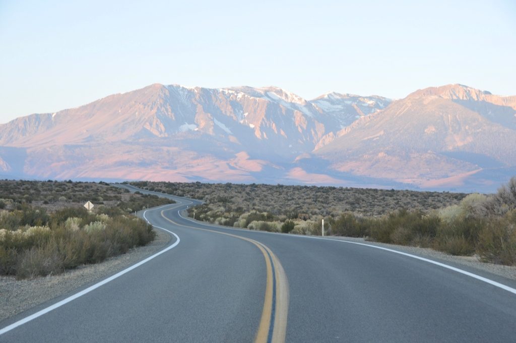
Oh and the woop de woops

It was on this stretch of highway I temporarily suspended my otherwise conservative approach to riding a motorcycle by opening up the throttle to see what the venerable Kawasexy could do. Throwing caution to the wind, I experienced the landscape passing by so rapidly it was a blur concentrating intently on the road as speed clearly exceeded the distance needed to stop should a wayward elk or pika run across the road before me. Only two vehicles passed in the other direction on the entire 46 miles between Benton Springs and Mono Lake. Knowing Pete’s predilection for speed, I was surprised not to see him in my mirror.

Mono Lake from Hwy 120

Venerable Institutions Galore

I arrived at the Lake View Lodge and in a few minutes was joined by Pete. It seems we had the same idea about the road. Andy, maybe ten minutes behind, savored the experience, sipping the landscape as Pete and I quaffed it.

As I had considered, the Lodge was full up for accommodating two more weary travelers on this late Monday evening. However, Andy asked if it would be possible to upgrade his reservation for one of the larger “cabins” that when presented to Pete and me exceeded our budgets for hostel. The Lake View Lodge is family owned and operated since 1932 and is a mash-up of a motel, a variety of small cabins, and larger modular homes. We were given the 4 Queen Cabin that could accommodate eight guests. The math worked out getting a deal since it was unlikely to be occupied that evening so we signed the register and made plans for dinner.
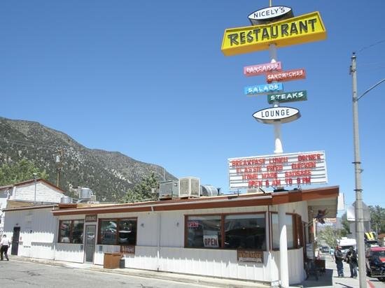
My first excursion over Tioga Pass included lunch at Nicely’s in the summer of 1972 heading to Kearsarge Pass Trailhead to backpack

After a fine dinner at Nicely’s, a venerable Lee Vining institution with a menu that probably precedes my first visit 47 years ago, we procured some après dinner beverages at the Mono Market (ditto a venerable institution) to enjoy while gathered around the smelter-caliber gas fireplace in the Queen to watch the Lions lose to the Packers on Monday Night Football. Much reflective conversation about the ride took place as we were warmed from the outside by fireplace and on the inside by a fine bourbon. The ride was on the whole quite satisfying. Covering over 800 miles by then, experiencing the changing season over a range of topography, can not be under appreciated.

Tomorrow the homeward leg over Tioga Pass…

Day 4, Adieu… As for 1/3 of the Crew, the Grind Beckons

I’m always last to load up fumbling with the camp gear we didn’t use

Time keeps on slippin’, slippin’, slippin’
Into the future

I want to fly like an eagle
To the sea
Fly like an eagle
Let my spirit carry me
I want to fly like an eagle
Till I’m free

The clock was ticking and Andy, anxious to get back for the obligation of work, was pressing for an early start. Since we couldn’t fly like an eagle over Tioga Pass on our return route we rolled up to gas up at the Whoa Nellie Deli Mobile at the intersection of Hwys 395 and 120.
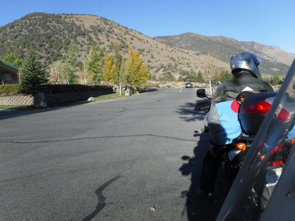
Whoa Nellie, where’s Andy? I thought he was in a hurry.

The ride back over the pass was absent of any warmth whatsoever as evidenced by Pete’s ambient temperature gauge reading below the scale of single digits. Wearing virtually every stitch of clothing I brought, including layering up the gloves, I resembled Ralphie’s brother Randy, from a Christmas Story.

Nature is not a place to visit, it is home

Poet Gary Snyder’s words expressing the relationship between nature and home is just the sort of Zen I was feeling as the ride concluded. We arrived home in Merced sound of body, mostly, and with rejuvenated minds. Rides such as this with friends elevates the experience especially when taken across the interestingly elevated topography* from the Sierra Crest to the depths of Death Valley and across the Great Basin of Nevada and the high desert of Eastern California. Certainly a motorcycle ride is the cure for most any ailment induced by inactivity or isolation. We all agreed that another ride would surely emerge to enjoy another season over new terrain in the fine company of one another.

Epilogue

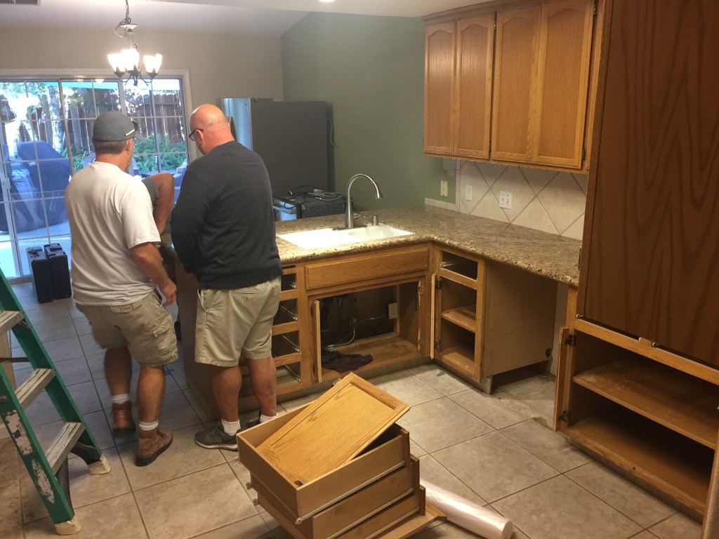
And now the remodel nearly finished

*Topography defined as the relief features or surface configuration of an area or schema of a structural entity, as of the mind, a field of study, or society, reflecting a division into distinct areas having a specific relation or a specific position relative to one another.

Let’s see, do I veer left or go straight?
Sworn never to utter a word about nailing the lunar eclipse of the fool moon
Well I’ll be… Look what Andy found

2019 Spring Moto: Super Bloom on Two Wheels

Four days and 1147 miles in April 2019 from the Central Valley to the Pacific coast, across the Carrizo Plain, over the Tehachapis to the Mojave and Death Valley, returning back home along Sierra…

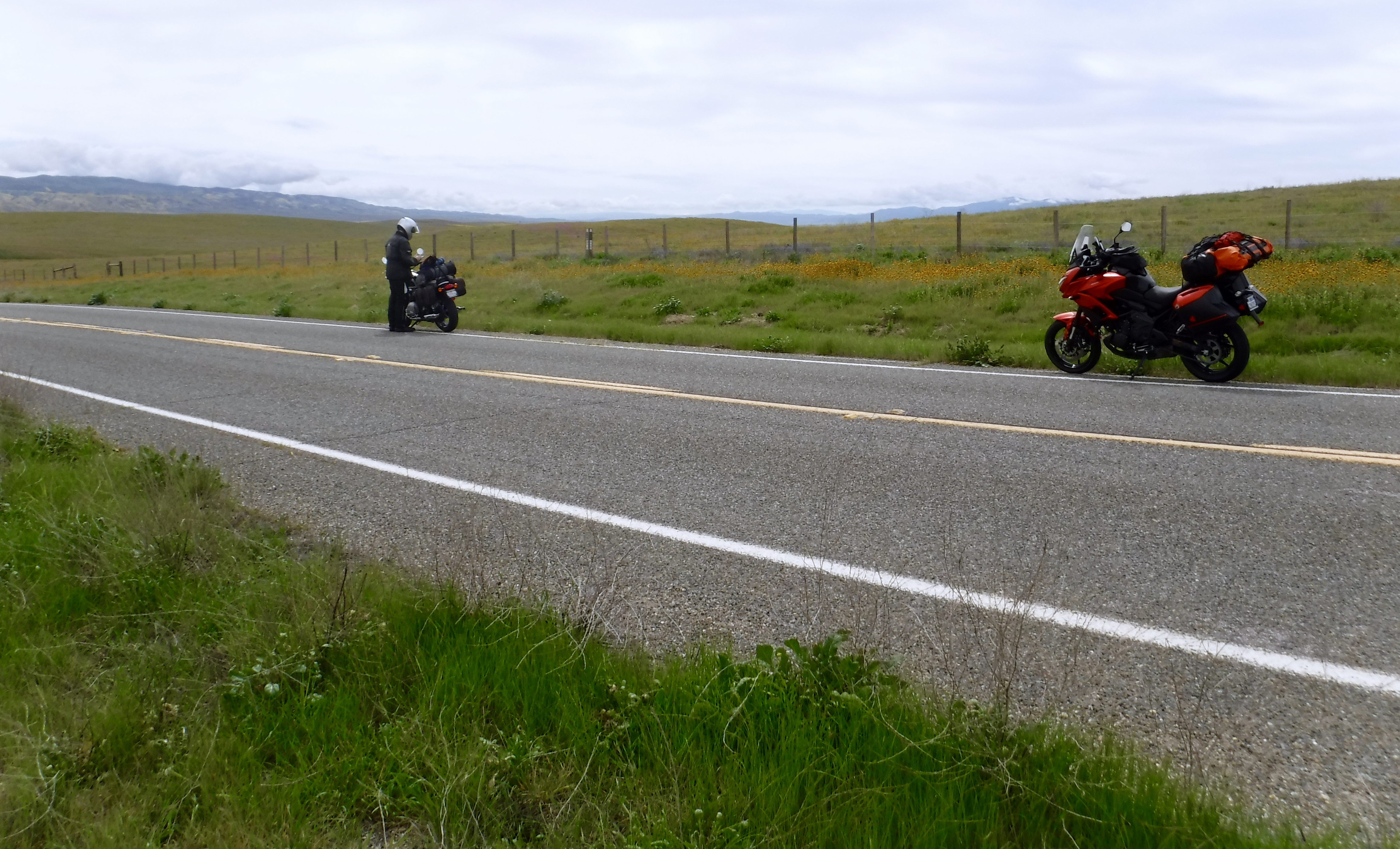
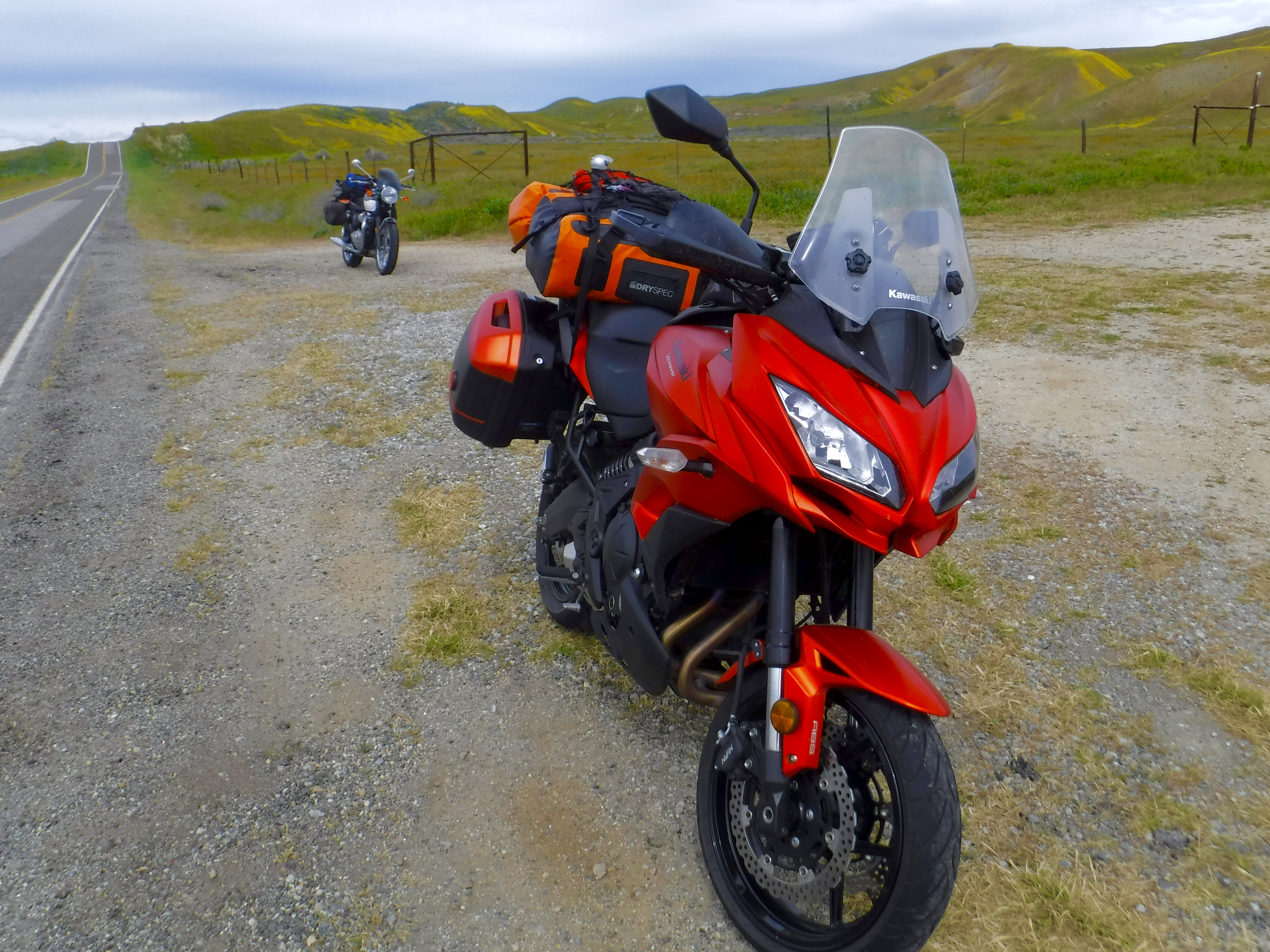
Flowers for the Kawasexy
Flowers for the T-120

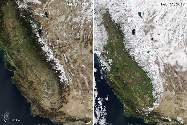
The 2018-2019 rainy season in California proved to be a bit shy in the early months however by January the atmospheric rivers roared. With record breaking snow levels in the Sierra and above normal rainfall in the rest of the state, the long dormant seeds of California’s native vegetation exploded as the days lengthened and temperatures began to rise. Considering the ravaging fires of last summer, the landslides associated with burn scars were limited and the verdant landscape was renewed.

This season’s banner year
Twenty-nine year average precip

The maps above show how this year’s precipitation (top) is substantially greater than in the past 20 years (bottom) that have been considered drought conditions for much of the Western U.S.. Note the scales. (Northwest Climate Toolbox)

In Spanish, the Sierra are living up to their name… (NOAA/NASA Observatory image)

All of the rain gave me the opportunity to consider this spring’s moto to view the best of the super bloom. Joining me on this two wheel road trip was fellow rider Pete, on his Bonneville T120, and I on the Kawasaki Versys. This was to be our third loop around California to enjoy what the state has to offer in terms of the best two seasonal transitions: fall to winter and winter to spring…

Day 1 Merced to Cambria (Approx. 266 miles)

Old Panoche Rd.

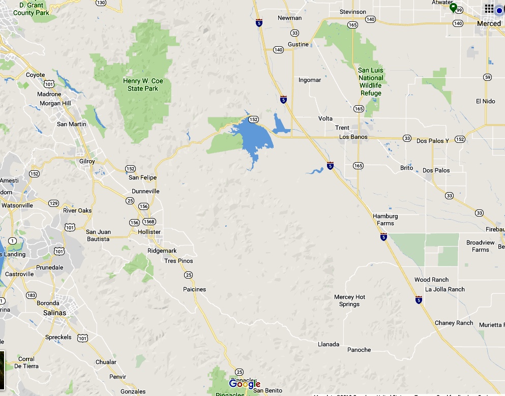
Selecting a route that would showcase the variety of climate zones in California wasn’t a difficult task. Our route would take us from Merced, our home in the Central Valley, on SR 59 and 152 to Dos Palos where we traveled south on N. Russell Rd. through South Dos Palos then west on W. Shields Ave., crossing over I-5 continuing west on our favorite back road, Old Panoche Rd. through Panoche Valley and the Coast Range foothills.

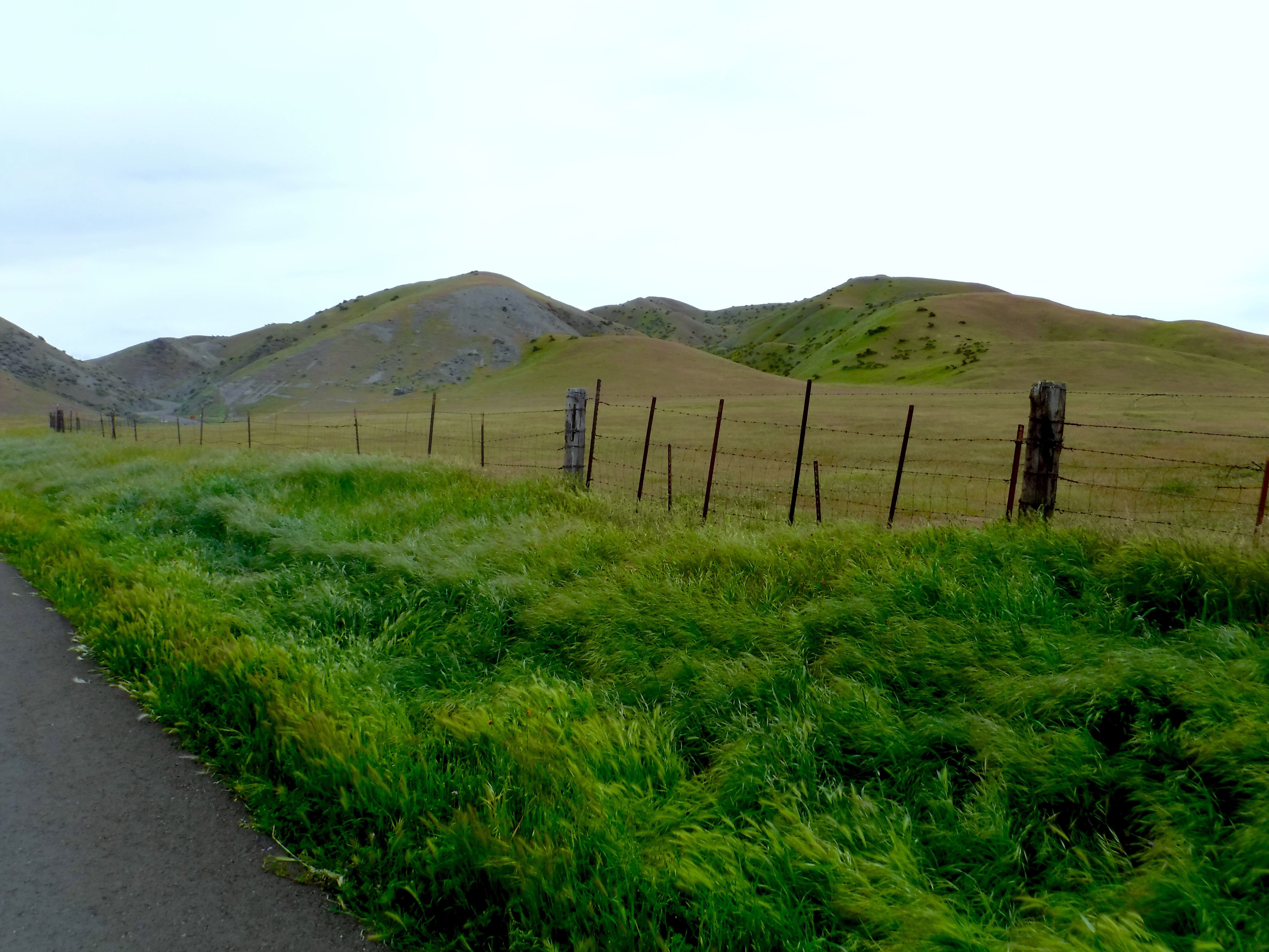
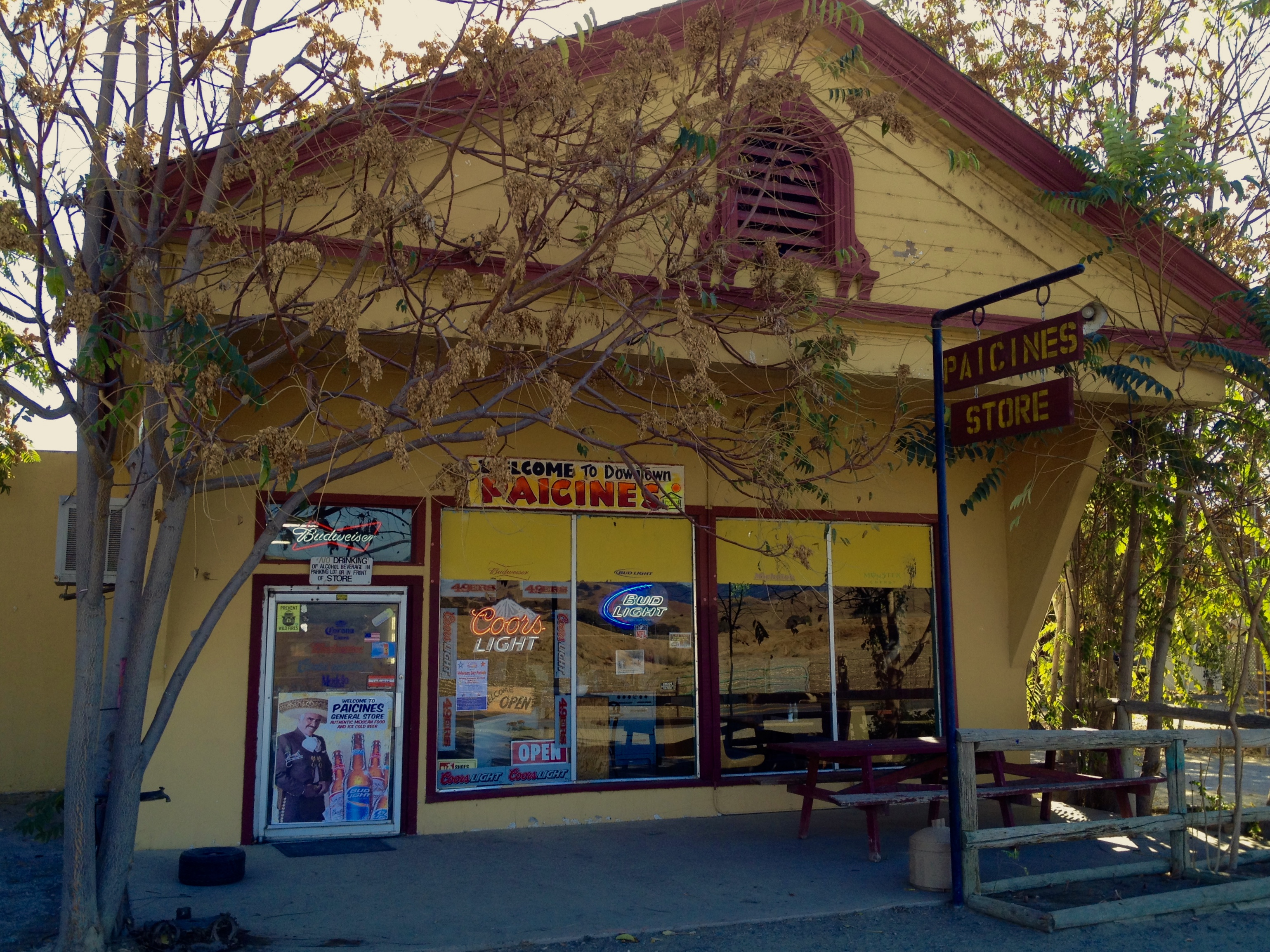
The patched and potholed Old Panoche Rd. rewards you with vistas of verdant chaparral and woodland ecoregions and a great chile verde burrito in the Paicines region

Old Panoche Road is a winding road through open range, blue oak, and gray pinion pine foothills where golden eagles, Western bluebirds, the oak titmouse, the Lewis’s woodpecker, yellow-billed magpies, and phainopepla are resident. Mammals in the area include three federally endangered species; the San Joaquin Kit Fox, Giant Kangaroo Rat, and Nelson’s Antelope Squirrel. The American Badger is also native to the valley. Endangered reptiles in the valley includes Blunt-nosed Leopard Lizard. When approached from the west slope during winter you’ll see mountain bluebirds and flocks of sparrows down from higher elevations. During spring, Swainson’s hawks nest along this road.

More Old Panoche Rd.

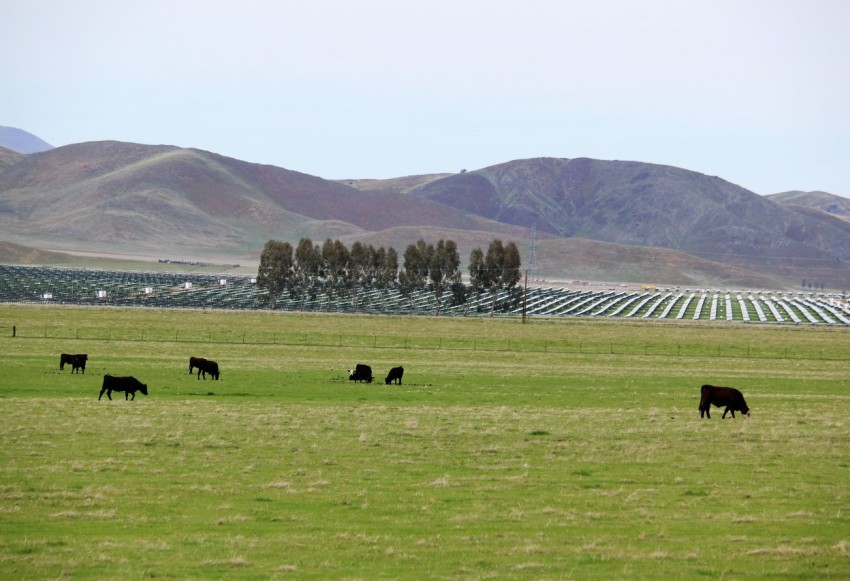
Not all of the sunlight goes into photosynthesis as the controversial Panoche Valley Solar Farm is now generating 130 megawatts of power serving San Benito County. Originally proposed at 399 MW, the cost was estimated at approximately $1 billion. The project faced lawsuits from three environmental groups who charged that project would harm native species such as the giant kangaroo rat, blunt-nosed leopard lizard, San Joaquin kit fox, and various bird species. The project was downsized to 247 MW and eventually 130 MW in 2017 after a settlement was reached. [Wikipedia]

Once over Paicines Pass, twisties and sweepers made for a quick descent down to the Paicines Store. Now likely powered by the PVSF, the store’s kitchen produced wonderful chili verde and asada burritos that powered us until dinner. Controversies are abundant in our changing world. It’s nice to have something like a small country store making a legit chili verde to reassure that as some things change, some things remain the same. Well, maybe now the lights are solar powered.
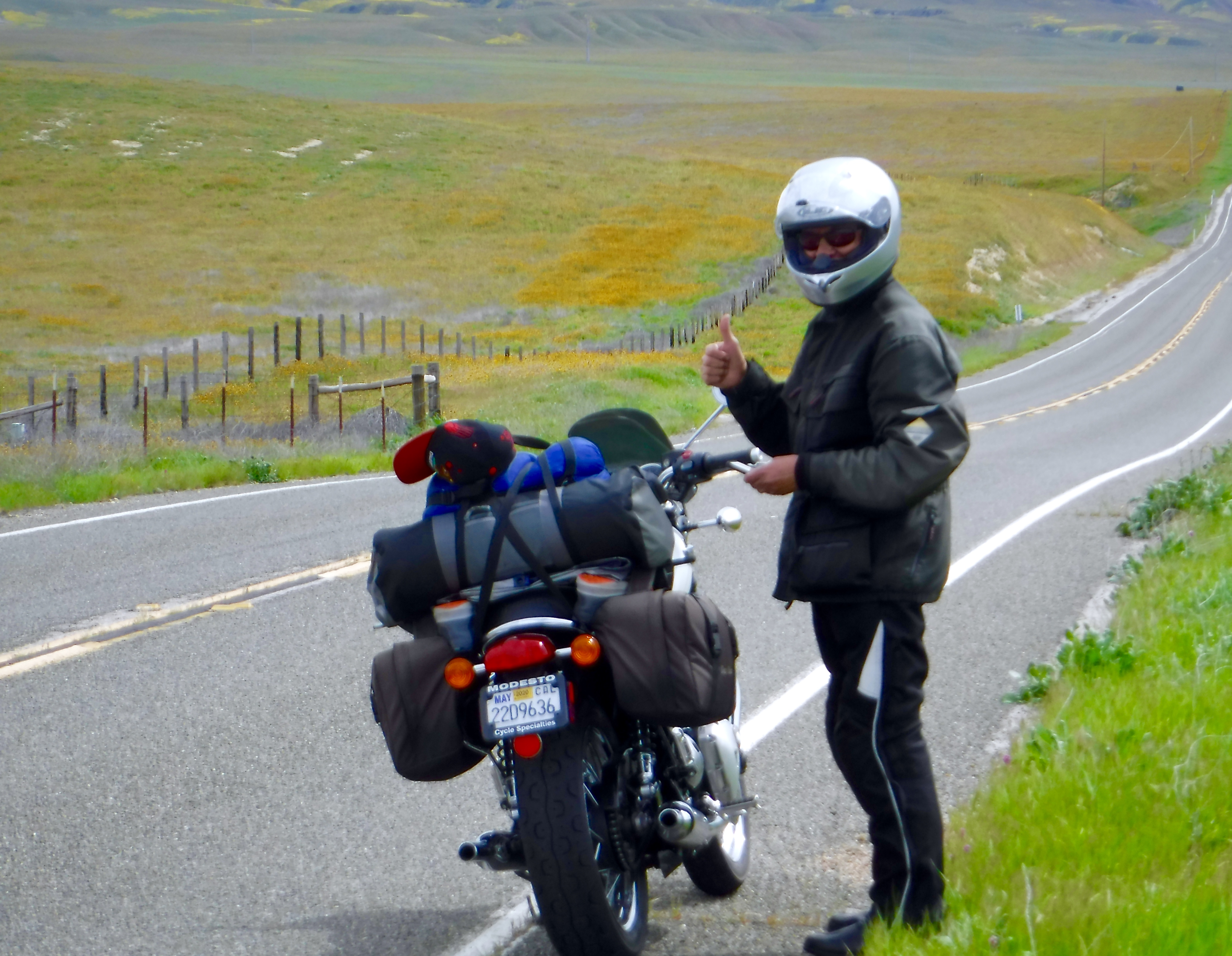
It was on to Hollister, San Juan Bautista, and Castroville for a fuel stop for the machines and our connection to the iconic SR 1. With more traffic than we prefer, Hwy 1 is a beautiful route to enjoy especially exposed to the elements as one is on a motorcycle. The winding road to the Big Sur, Lucia, Gorda, Ragged Point communities, often isolated by the ravages of rainfall induced landslides, all dodged atmospheric bullets this wet season as closures were temporary unlike in 2017.

San Jose Mercury News photo

The Mud Creek Slide, which rained debris in one of the state’s largest landslides, destroyed a quarter-mile section of the roadway. The road had been blocked since May 20, 2017 near the tiny town of Gorda, 65 miles south of Monterey, where the slide occurred when a quarter-mile section of the two-lane road fell into the Pacific Ocean at Mud Creek, along with 50 acres of hillside. The Soberanes Fire in 2016, along with other slides along the route, including an eight-month closure that bisected the town of Big Sur in 2017, meant an even longer wait for an uninterrupted drive along the cliff-hugging highway that kept us on an interior route last year.

The road was open and though we may have wanted to lean a bit more into the curves, sightseeing tourists kept us vertical as we slogged down the highway. Though it was cloudy and cool and the traffic slow, we dressed for the conditions and, making the best of the slog, enjoyed the vistas down to Cambria which were stunning.
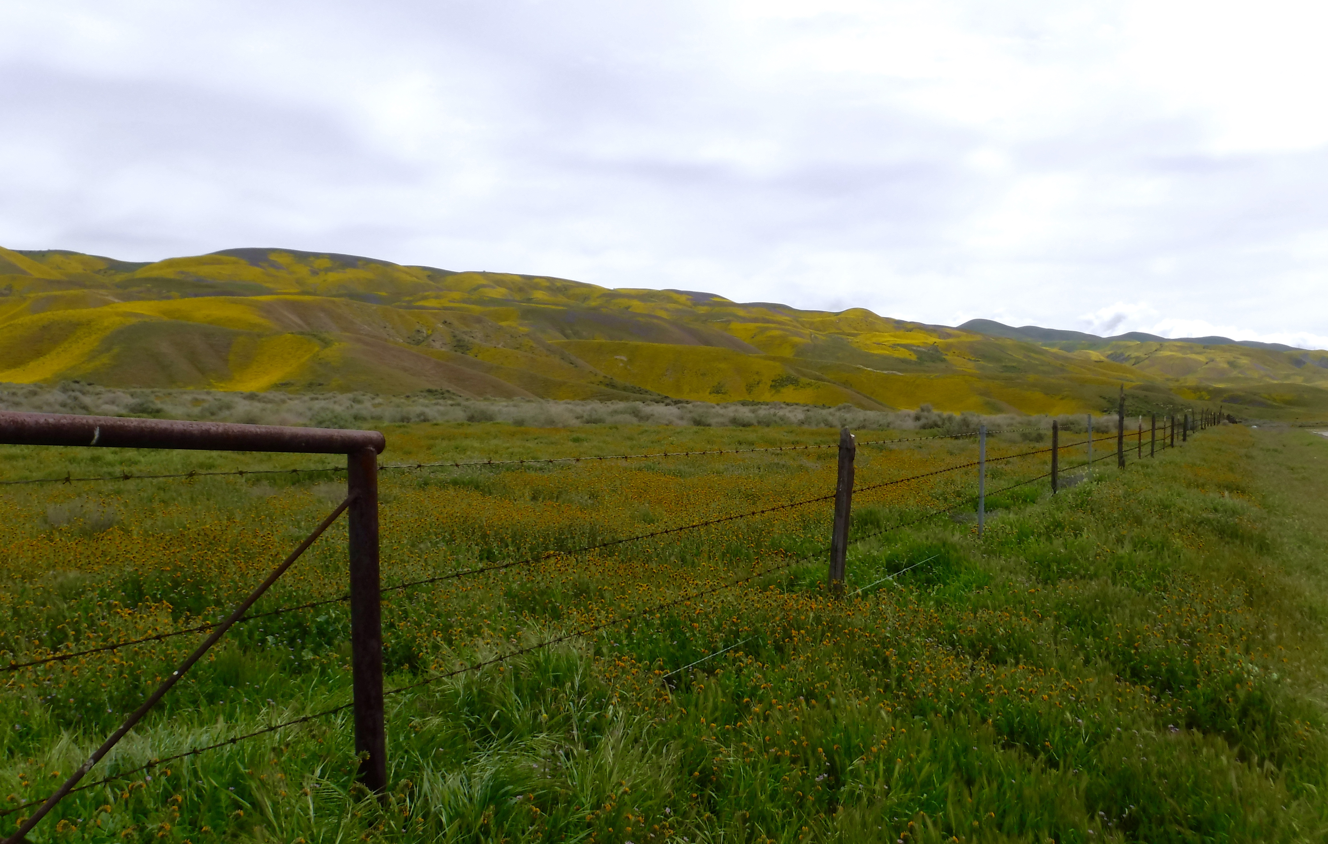
How about some witnessed natural history?

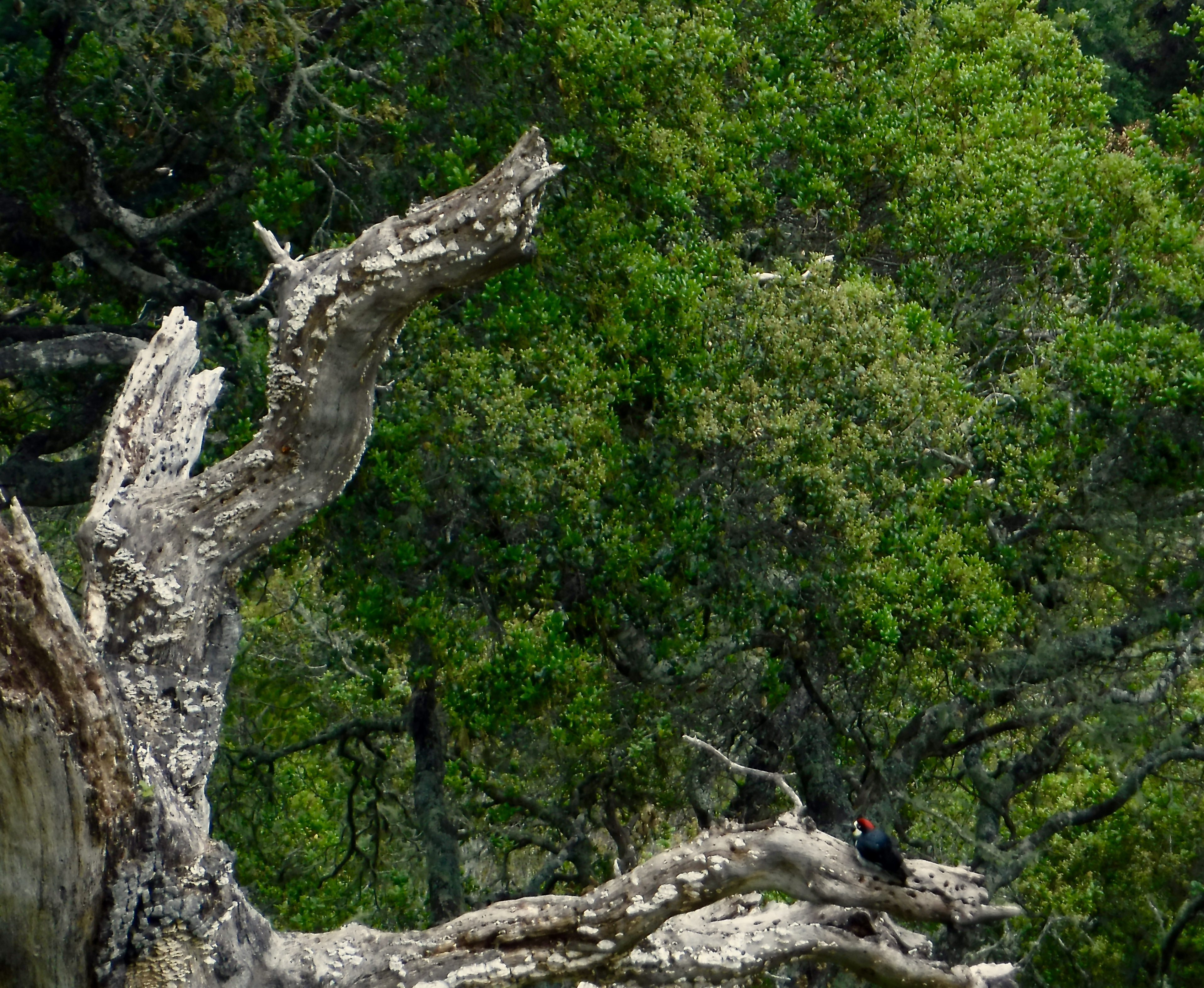
Acorn Woodpeckers (Melanerpes formicivorusare) are very unusual woodpeckers that live in large groups, hoard acorns in granaries, and breed cooperatively. Cooperative breeding is defined as more than two birds taking care of nestlings in the nest. At Nepenthe, a group of acorn woodpeckers gathered acorns by the thousands last fall and wedged them into holes they’ve made in tree trunks, telephone poles, or side of the restaurant. Several were flitting about perhaps inspecting their cache or catching insects, another source of food. These birds will mate in the fall when the acorns are plentiful that is unusual for most birds. I suspect this display was less to impress than to capture a tasty insect or a vintage acorn. It was at Nepenthe afterall…

And now for some cultural history…

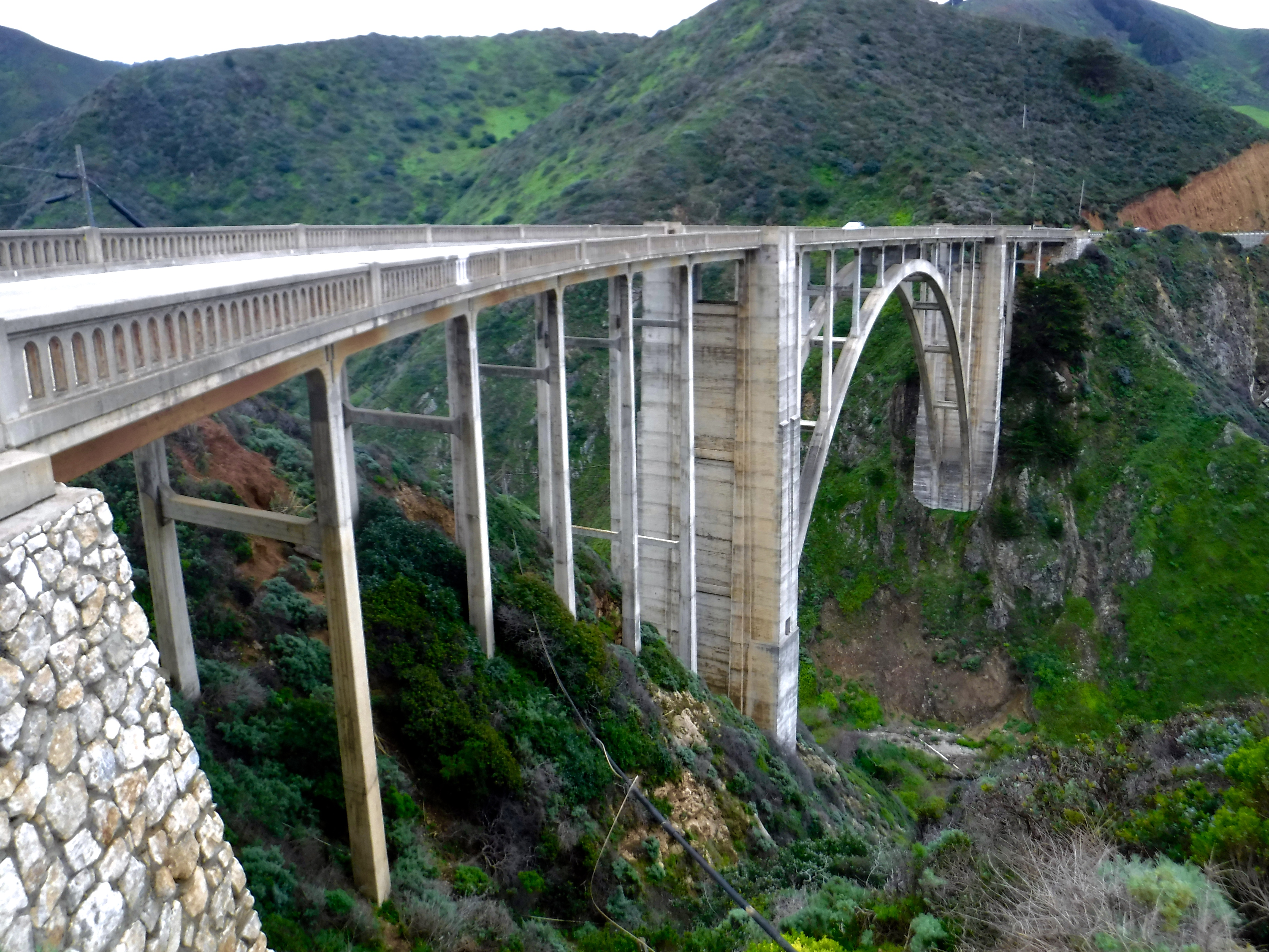
State Route 1 was one of the most difficult routes to build particularly along the Big Sur coast. The state first approved building Route 56, or the Carmel-San Simeon Highway, to connect Big Sur to the rest of California in 1919. Federal funds were appropriated and in 1921 voters approved additional state funds. San Quentin State Prison set up three temporary prison camps to provide unskilled convict labor to help with road construction. One was set up by Little Sur River, one at Kirk Creek and a third was later established in the south at Anderson Creek. Inmates were paid 35 cents per day and had their prison sentences reduced in return. The route necessitated construction of 33 bridges, the largest of which was the Bixby Creek Bridge. Six more concrete arch bridges were built between Point Sur and Carmel.

No wonder infrastructure doesn’t get done like back in the day…

After 18 years of construction, aided by New Deal funds during the Great Depression, the paved two-lane road was completed and opened on June 17, 1937. The road was initially called the Carmel-San Simeon Highway (Route 56), but was better known as the Roosevelt Highway, honoring the current President Franklin D. Roosevelt. A 1921 law extended Route 56 south over the county road to Cambria. [From Wikipedia]

Pete’s high performance gear that has stood the test of time

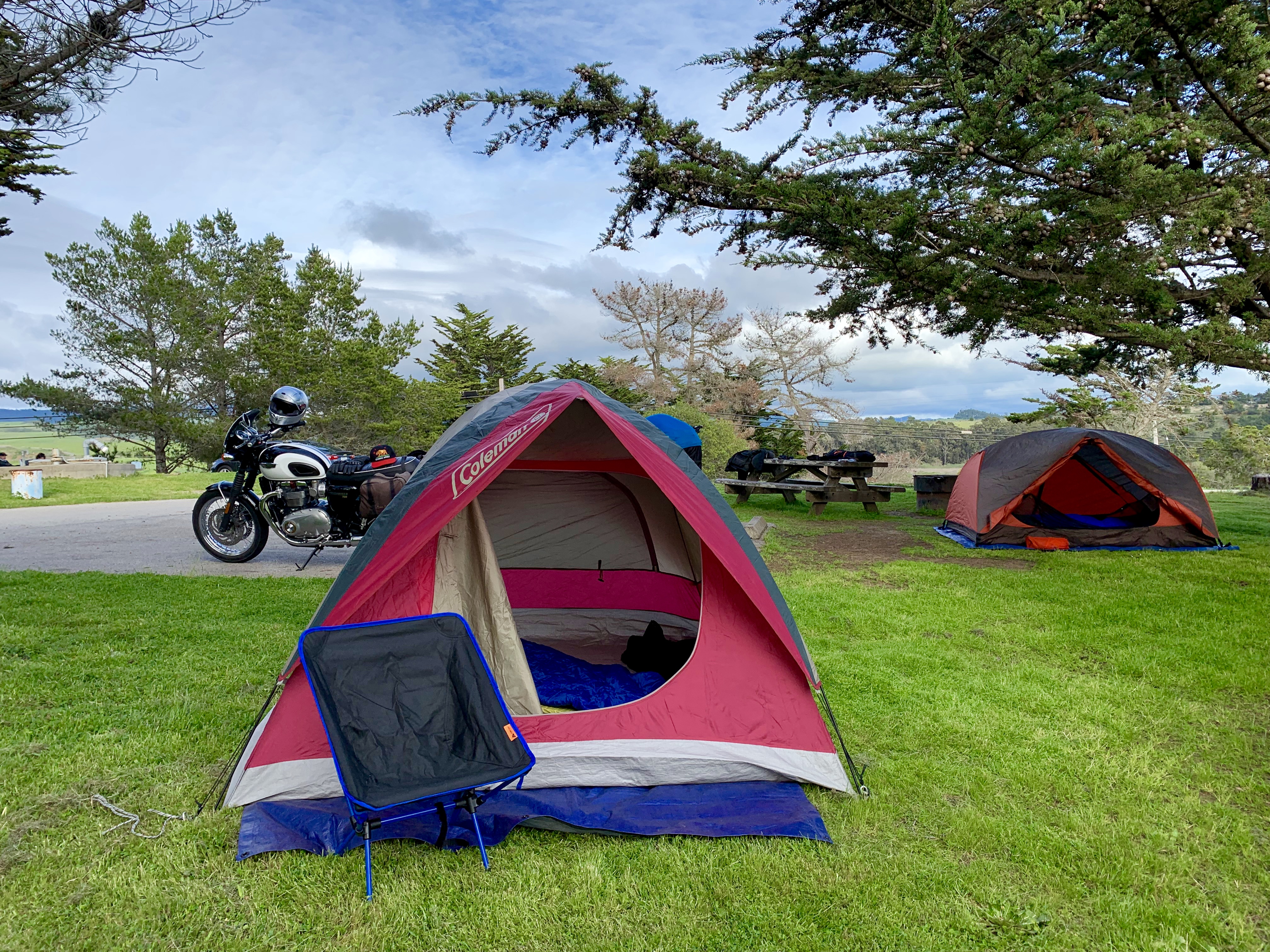
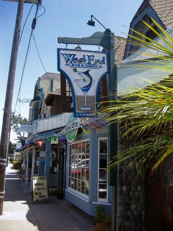
We made it to the campground just in time for fish tacos in Cambria at the West End Bar and Grill. As state campgrounds go, the San Simeon Creek Campground is nearly perfect. Just a few miles from Hearst Castle and Cambria, it’s a fully equipped campground. The ocean lullaby ensures a great night’s rest.

Tom’s yet-to-be-tested high performance gear

After a hearty breakfast at Cambria Mimosas Steak & Seafood and fuel at the local Shell Station, day two beckoned… sans mimosas.

Day 2 Cambria to Panamint Springs (Approx. 342 miles)

From Cambria we would head east on California SR 46, south on US 101, and east again on SR 58 detouring south of Bakersfield through McKittrick, Derby Acres, Maricopa, Taft, and SR 166 to Mettler and weaving in and around back roads through some serious agriculture to Arvin. The southern Central Valley (San Joaquin Valley) is ironically home to fossil fuel production and large scale farming often in the proximity of, if not on the same, acreage. Descending from the foothills, pumpjacks and pipelines dominate the landscape. Further down slope orchards of almonds, avocados, walnuts, pistachios, oranges, tangerines, lemons, and fields of potatoes, carrots, lettuce, garlic, and onions with an occasional pumpjack interspersed. We saw cattle and calves, sheep and lambs grazing on rangeland where oil extraction was taking place. Hopefully, as the roadside banners remind us, the food will grow as this year’s (abundant) water flows.

State Route 58 was super bloom central for 2019

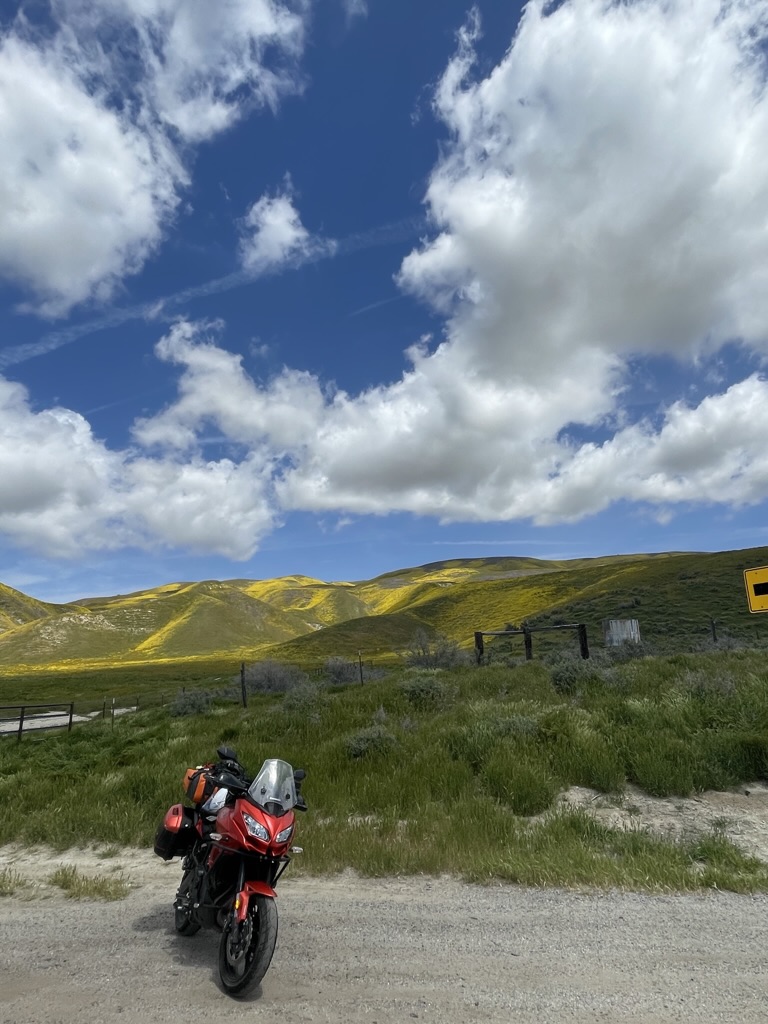
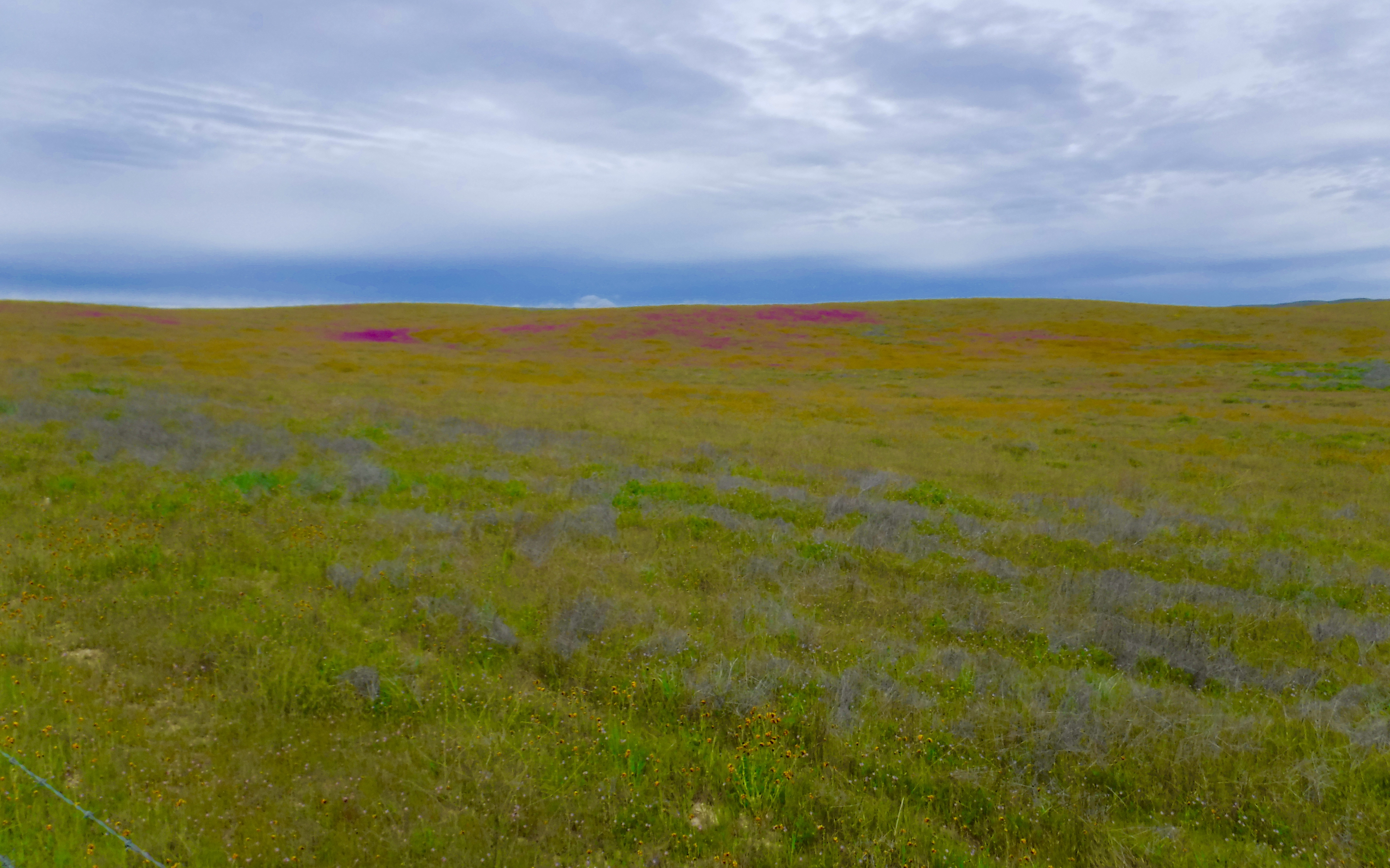
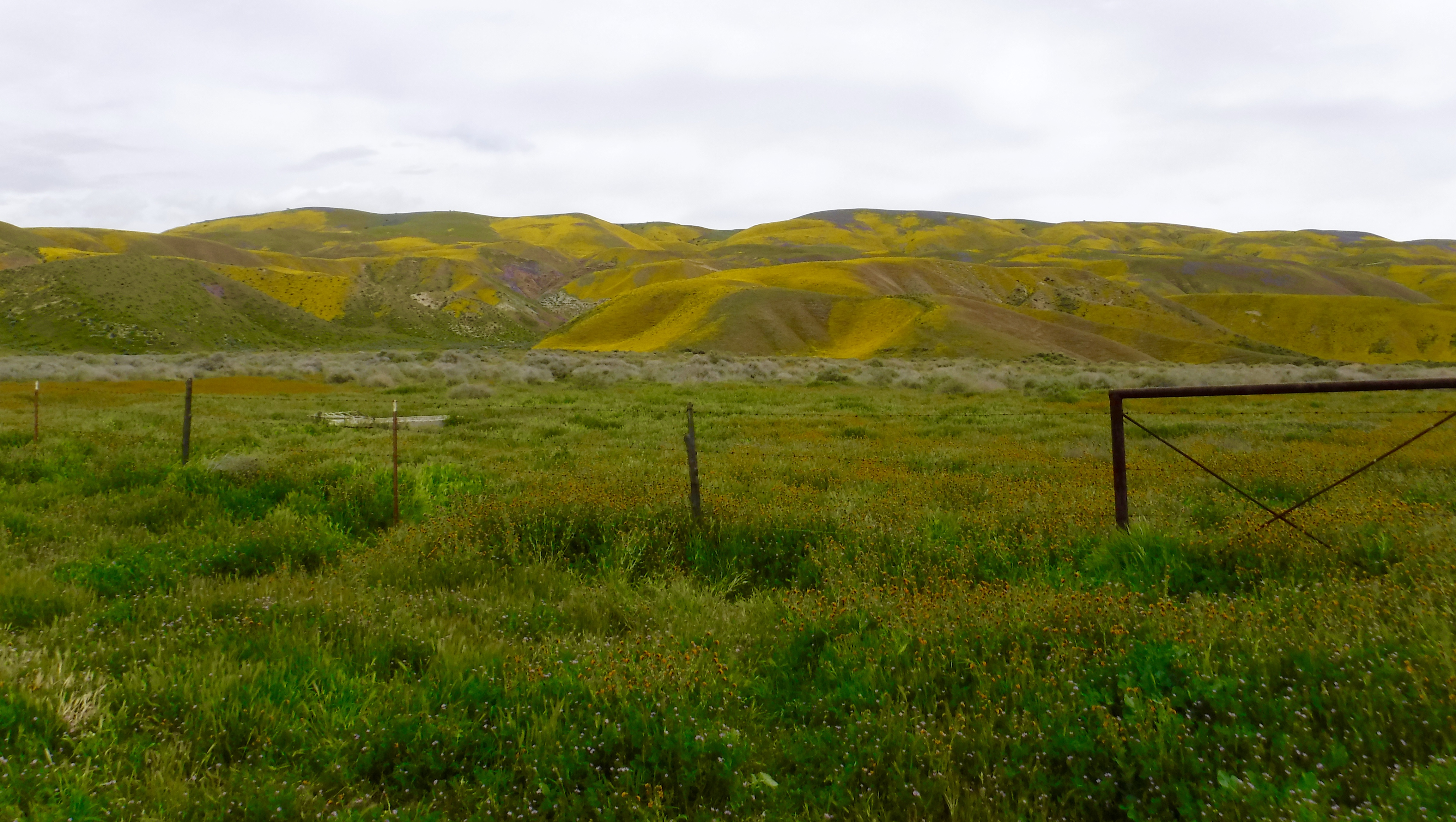
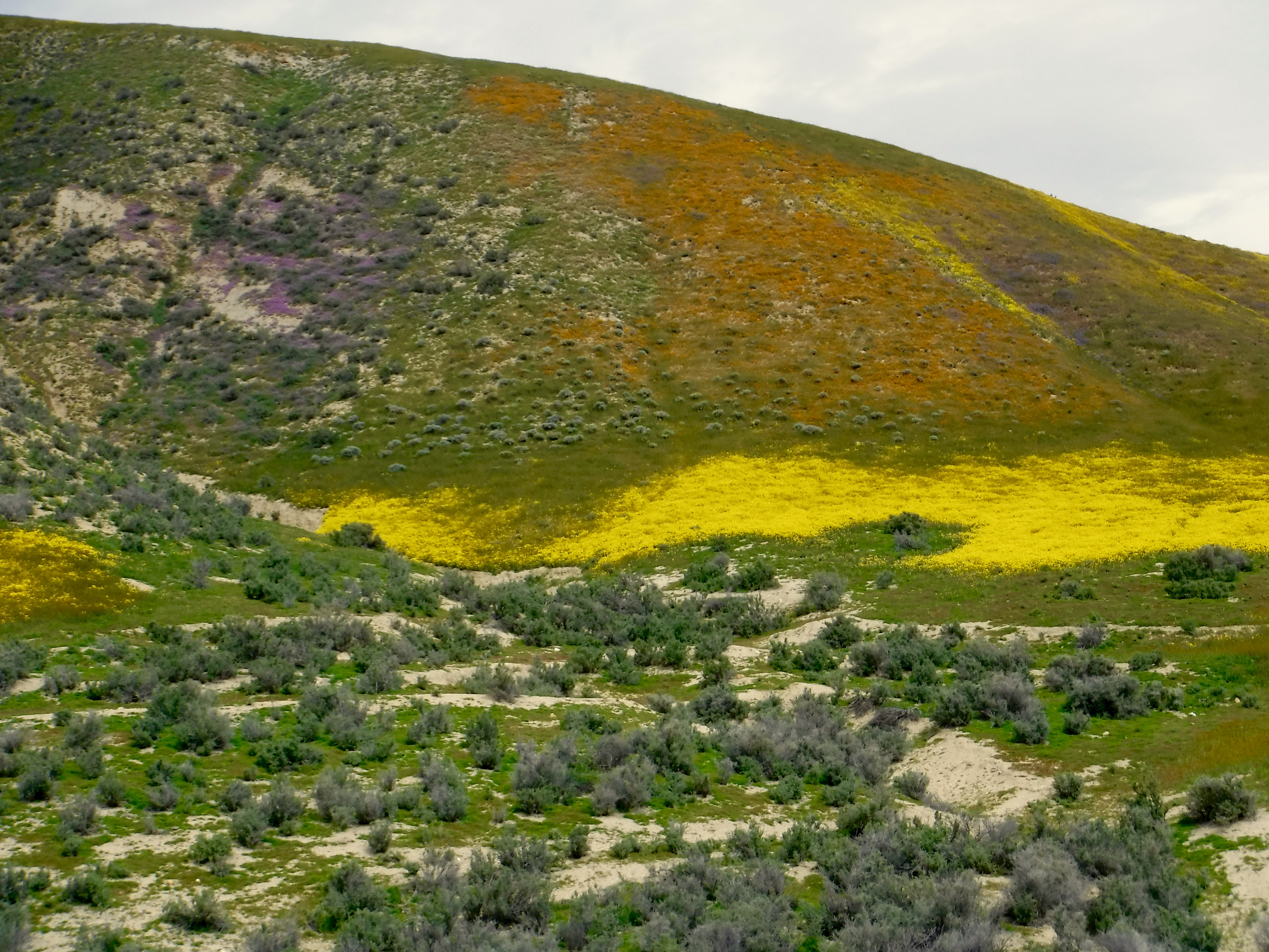
In spite of large scale oil production and agriculture, it was on the outset of this leg of our spring tour that we were astonished by the super bloom. The coastal foothills and westside plains were ablaze with color, the density and scale of which I’ve never seen. The timing of the this year’s rain on the plain was exquisite.

Note the bug splatter free helmet
Note the minimalist windscreen and bug splattered visor
I guess there’s a reason the Bonnie gets more attention than the Kawasexy
Pete enjoying the upgrade from a 3G to an X

After a quick fuel stop in Arvin, we began the ascent over Tehachapi on SR 58. The darkened skies were intimidating as we wove through truck after truck slogging up the pass. Once over Tehachapi Pass, north on SR 14 and 395 the skies cleared. However, confronted by brutal headwinds, we were buffeted to and fro through Bradys and Brown, with a blustery stop at Pearsonville for gas where our helmets came in handy to deflect the wind causing other patrons at the Shell/Subway to grimace as they were pelted with sand and other debris while filling up. Somehow we missed seeing the Uniroyal Gal (a.k.a. the Hubcap Lady) in Pearsonville. That’s the sort of thing that will turn a grimace into a smile…

See photo credit

From Pearsonville, just south of the 9 Mile Canyon exit on US 395 that takes you over Sherman Pass, a route I’ve taken on a bicycle three times, it was on through the Red Rock Canyon, Little Lake, Coso, Coso Junction, Dunmovin, Haiwee, and Grant in increasing headwinds blasting us to Olancha where SR 190 took us east to Panamint Springs. I made the best of the conditions as I tucked in the slipstream behind a Jeep Wrangler. With a taller windshield and the Jeep, my ride was a bit more pleasant than Pete’s with his swave minimalist cafe windscreen. Given the frequency of the winds in this region, I’m pretty sure the number of settlements named on the map outnumber the residents on that stretch of road. Not so much of a super bloom there as the timing of the considerable rain that occured in the desert wasn’t as prolific in the production of wildflowers. Or maybe the wind blew all of the flowers’ seeds away…

As we began the descent into the Death Valley Monument the winds tapered, yet once again our desire to lean into the twisties was stymied by a group of gentlemen tourists cautiously riding their shiny Harley Davidsons as we shared the road. Once again we enjoyed the vistas freed from having to determine the line and apex of the next turn.

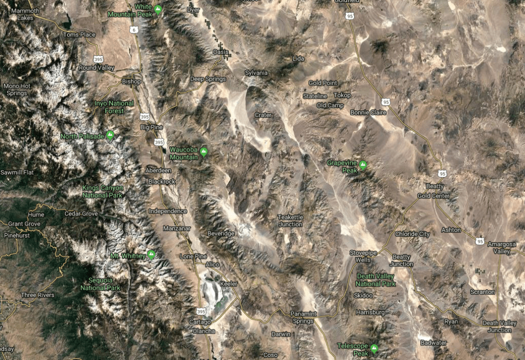
If you look closely you’ll see the Father Crowley Overlook in the Google Map screen capture below. I wonder what it was that was overlooked with this Father Crowley fellow…

Google Maps
From the Father Crowley Overlook

Arriving at the Panamint Springs “Resort”, all was forgiven and forgotten about the raging viento as we were greeted with calm. Once our tents were pitched and sandwiches and a cold beverage were consumed at the definitely desert funky Panamint Springs Restaurant we were ready to enjoy the big sky perhaps to see a stealthful F-18 or F-15e from the nearby Nellis AFB, Edwards AFB, NAWS at China Lake, or NAS at Lemoore buzz this Star Wars Canyon.

The Panamint Springs Resort was originally owned and operated by Buffalo Bill Cody’s cousin, Agnes Cody. The motel was opened in 1937 when the first toll road was constructed traversing the Panamint Valley. A post office operated at Panamint Springs from 1940 to 1946. Change comes slowly to the desert, but who needs a post office when you have free WiFi?

Nothing like a good night’s rest on rocks
Panamint Sand Dunes from the Panamint Springs Campground

As the sun was setting the light reflected off of the harsh desert terrain softened as the warmer wavelengths of the spectrum illuminated the landscape. Snow topped Telescope Peak glowed in the setting sun.

We were invited to share a campfire with our campground neighbors with whom we shared stories of our travels. As we watched meteorites flash across the night sky with the Milky Way as the backdrop while contemplating the planets, stars, galaxies, clusters, the question of how big is the universe and then what? What defines a “thing” and how big can they get? The next “thing” I knew it’s morning in the space time continuum and it was time to Jet Boil some java…

After sharing itineraries with our other campground neighbors we packed up the gear and headed south.

Day 3 Panamint Springs to Three Rivers (Approx 256 miles)

Day three would take us southbound on Panamint Valley Rd. also known as the Trona/Wildrose Rd. (SR 178) through Trona, the absolute garden spot of the Eastern Sierra Mojave region.

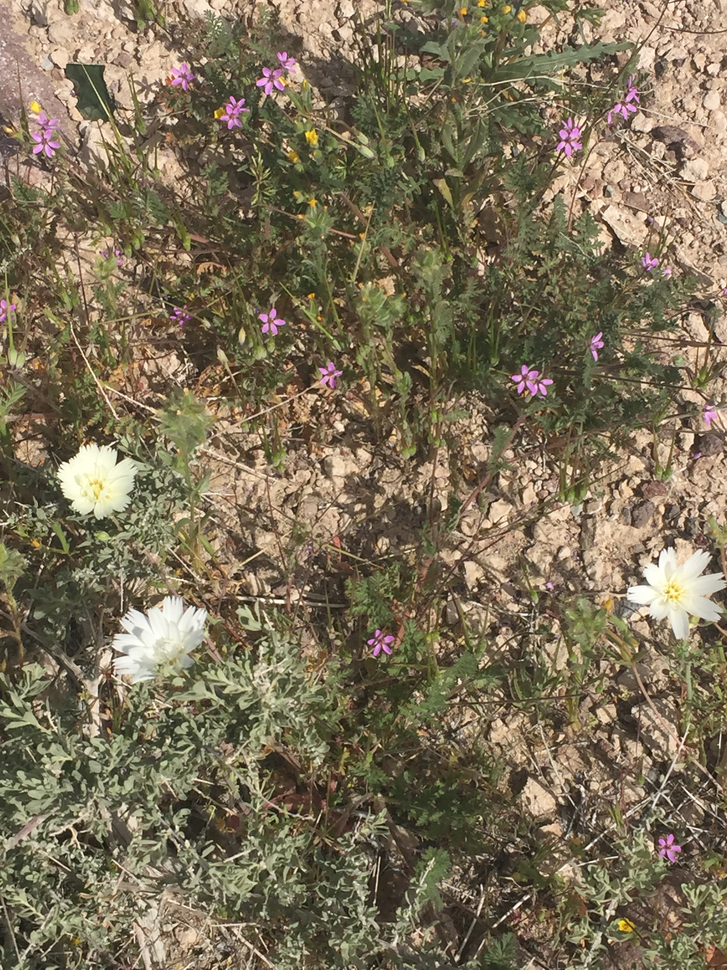
White Desert Chicory (Rafinesquia
neomexicana) and Purple Desert herons bill (Erodium texanum A. Gray) and a SGHYF (small ground-hugging yellow flower)

Entering Trona one is at once struck by the industrial mineral production and isolated feel of the place. Passing by multiple roadside dumps of the remnants of times of greater prosperity cast something of a pall over the town despite being a very pleasant sunny, windless spring morning. I’m pretty sure automation and international markets have some responsibility for the decline of Trona. There is a high school. In fact it’s one of the best maintained facilities in the town. The baseball and football fields were sand. I can’t imagine taking a short hop as a shortstop or what being tackled as a receiver would feel like. Then again, it’s probably preparation for the hardscrabble life that awaits after graduation…

Esparza’s Family Restaurant, formerly the Fox Movie Theater

Pete has quite an appetite for such a compact fellow. Since earlier we hit the road without breakfast we decided to stop in Trona for a bite to eat where he recalled his first stay at the now closed Pinnacles Motel some thirty years earlier. Since the Esparza’s Family Restaurant was one of two eateries in Trona, we dropped in. There didn’t appear to be any evidence of a thriving community as we rode past shuttered businesses after abandoned houses. The server was very pleasant and a couple of mothers and their “free range children” arrived as we were seated. A few minutes later a couple of auto-tourists dropped in. Take out orders were dispatched. I guess their business model works for what appeared to be a town on its last leg. We discovered that in its previous life the restaurant was a fancy Fox Movie Theater (opened in 1954–my birth year–so it wasn’t exactly ancient history). The boomtown appeared to be considerably busted but my Belgium waffle, two eggs, and bacon were delish.

Some more history courtesy of desertusa.com:

Trona is home to the Searles Lake playa located in the Searles Valley on Hwy 178 in the Greater Mojave Desert. Searles Lake is one of a chain of pleistocene lakes which were formed during the Ice Ages. The dry lake bed contains a plethora of sodium and potassium minerals of the carbonate, sulfate, borate and halide classes, due to long sedimentation and evaporation processes which occurred over a period of about 150,000 years.

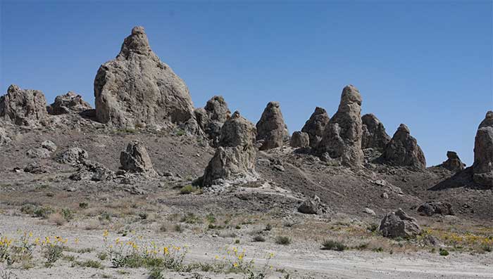
The Trona Pinnacles are the sisters of the Mono Lake tufa

The dry lake also contains the Trona Pinnacles National Natural Landmark which consists of more than 500 tufa spires. Trona Pinnacles has been the site of many movies and commercials because of its prehistoric mystical appeal. Over thirty film projects a year are shot among the tufa pinnacles, including backdrops for car commercials and sci-fi movies and television series such as Battlestar Galactica, Star Trek V: The Final Frontier, Disney’s Dinosaur, The Gate II, Lost in Space, and Planet of the Apes.

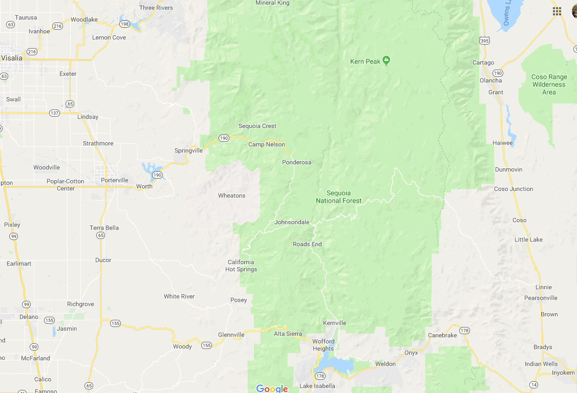
A short jaunt south on SR 14 brought us back to last spring’s route over Walker Pass on SR 178 to Wofford Heights and Kernville with a slight variation. Stopping in Kernville for fuel and a lesson in credit card fraud prevention, we got conflicting reports about our intended route on the Great Western Divide Highway over the Sequoia Crest. Since we knew that the Sherman Pass Route over the Sierra was snowbound, we had planned to take Mtn. Hwy 99 to Johnsondale catching the GWDH to where it becomes California SR 190 through Camp Nelson and Springville joining Yokohl Valley Drive to SR 198 and Three Rivers for the night. Alas, the road to Camp Nelson was closed for the winter as reported by a young fellow on an Yamaha Fz07 or was it an 09? Despite my checking with CalTrans before departing and being assured the route was opened, he said that there was a gate across the road that morning and that he turned back.

The best laid plans of mice and men in the mountains on motorbikes in the spring… CalTrans let me down.

Instead we traveled over Alta Sierra on SR 155 through Glenville and Old Stage Rd. into Porterville. North on SR 65 through Strathmore, Lindsay, and Exeter we then turned east on SR 198 to Three Rivers for the night. The compensating feature of missing out on the Great Western Divide Highway was that the air was deliciously scented by the blossoming citrus in the region.

Just as we were anticipating arrival and setting up camp in the Sequoia National Park at the Potwisha or Buckeye Flat campgrounds, we encountered a long line of stop-and-go traffic near the Kaweah Terminus Dam. Damn, it must have been Spring Break traffic filling the park! As we rolled on we discovered that a terrible accident involving a pick-up that appeared to be smashed in some sort of head-on collision. We later learned that medi-flight responders evacuated victims.

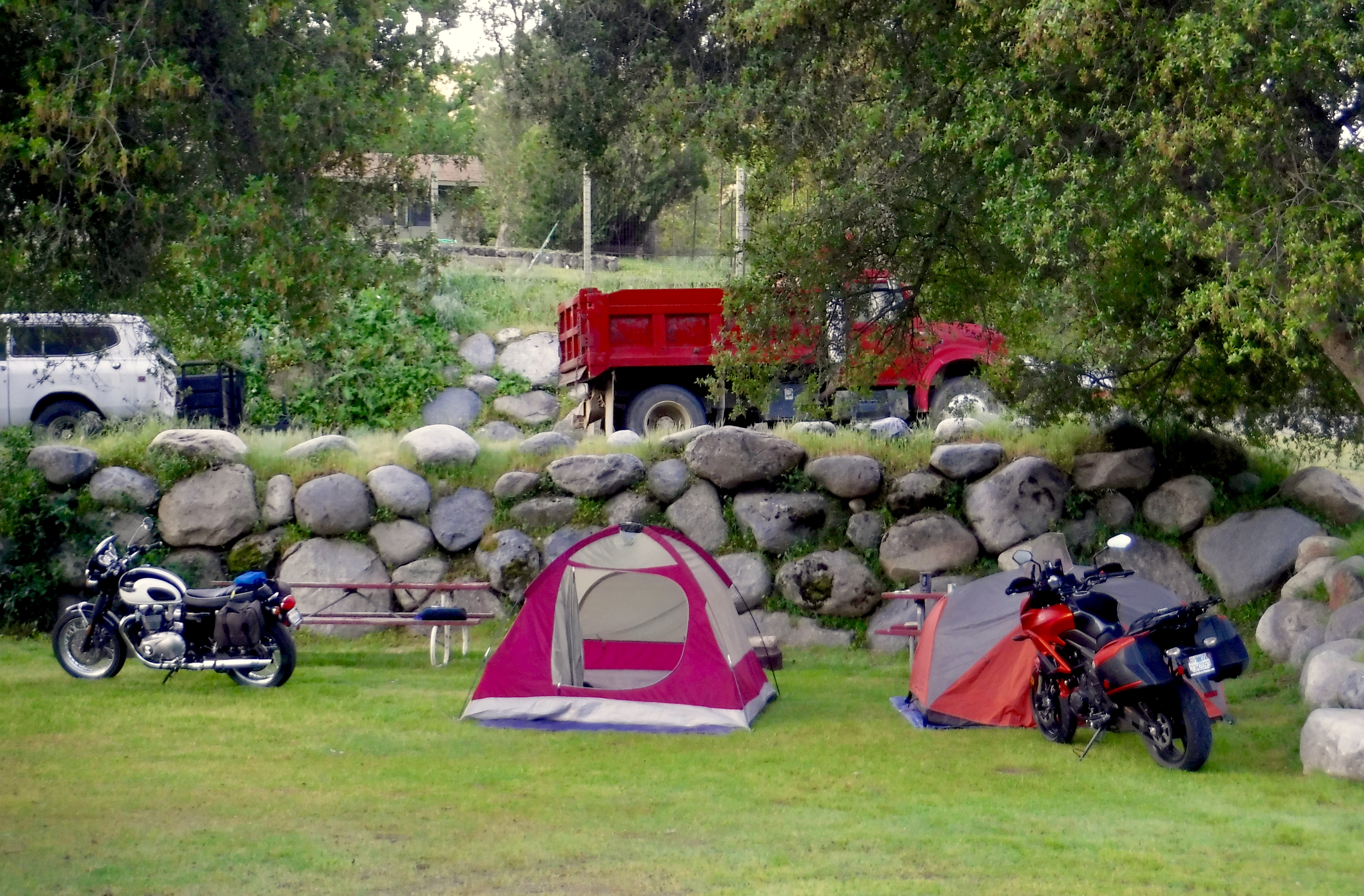
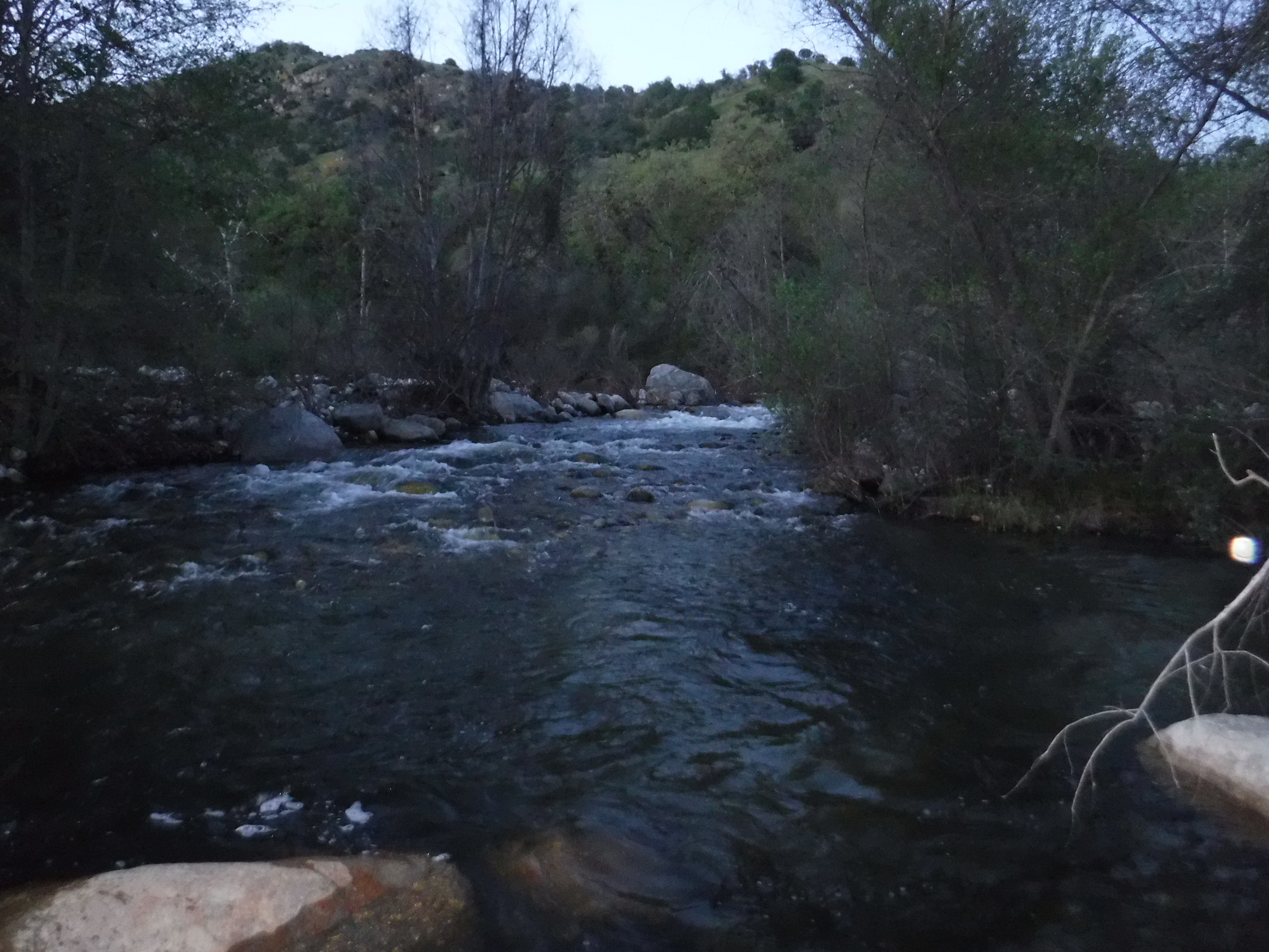
Rolling on, the traffic cleared in Three Rivers however, upon approaching the entrance station to Sequoia National Park, we noted that only two of the fourteen campgrounds in the entire park were open (see the introduction about snow) and they were full. The friendly ranger referred us to a couple of private campgrounds in Three Rivers and lo and behold we discovered the Three Rivers Hideaway right on the Kaweah River.

Serendipitous find
Kaweah River Hideaway campsite
Where was Baer? In Three Rivers that’s where

We shared a section of the campground with a fellow who introduced himself as Chris, based in Colorado, who was kayaking the spring runoff in California. After dinner we sat around the campfire sharing what brought us there and came to find that he was a professional kayak river guide. He proved to be a fascinating adventurer, at once humorous and humble. His website, whereisbaer.com, is filled with content of his many world wide wet adventures. When asked if he had a favorite river Mr. Baer simply replied, “Yep, the one I haven’t yet run.”

That’s a line I’ll steal when I’m next asked about a favorite moto tour!

Chris Baer’s tricked out Bluebird and vintage KLR caboose

Day 4 Three Rivers to Home (Approx. 283 miles)

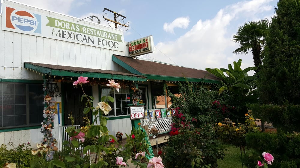
Our final day took us on another variation of last year’s route to SR 216 to Woodlake where a delightful breakfast was enjoyed at Dora’s.

Chili verde eggs, rice, beans and tortillas… YUM!

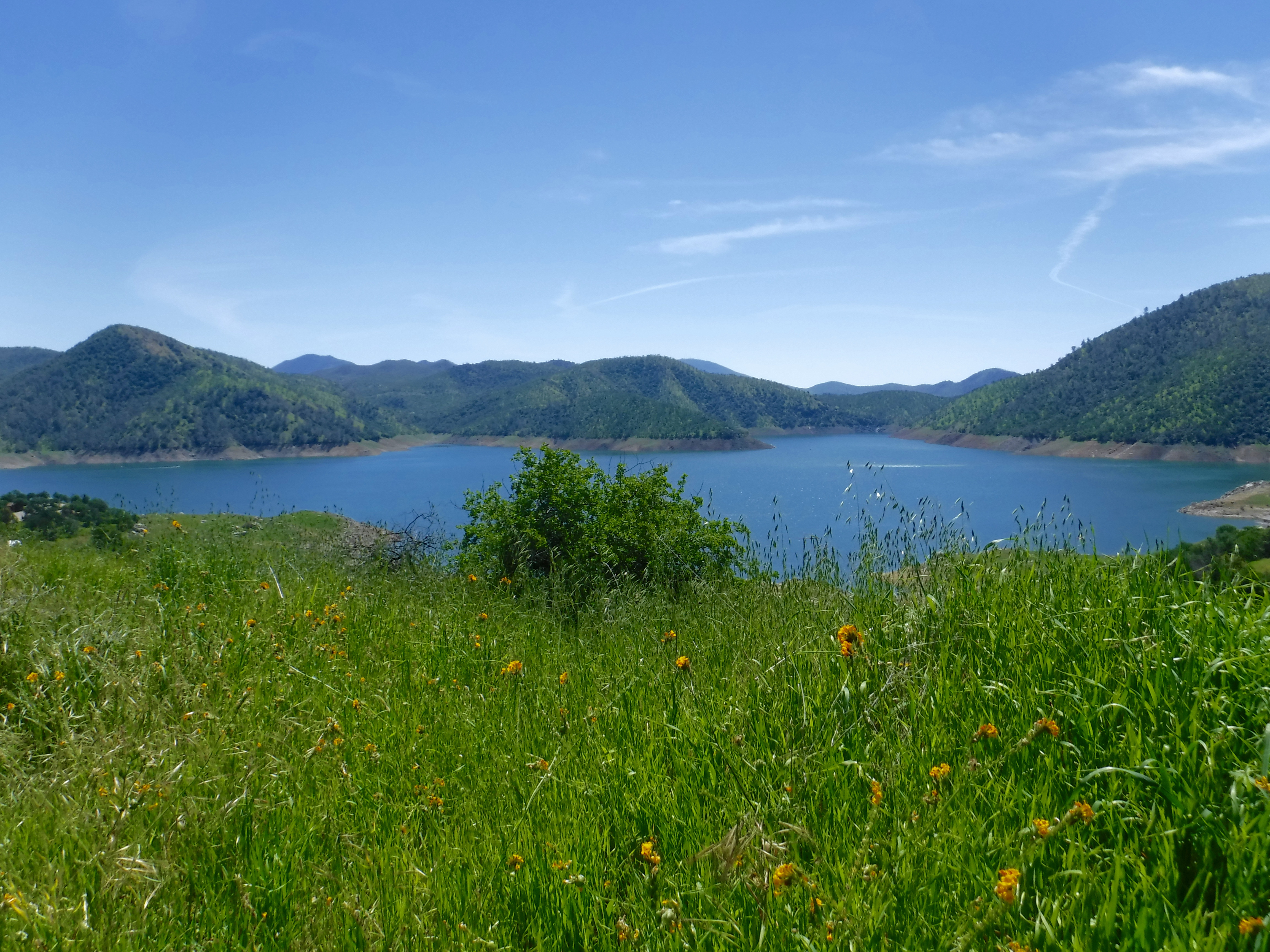
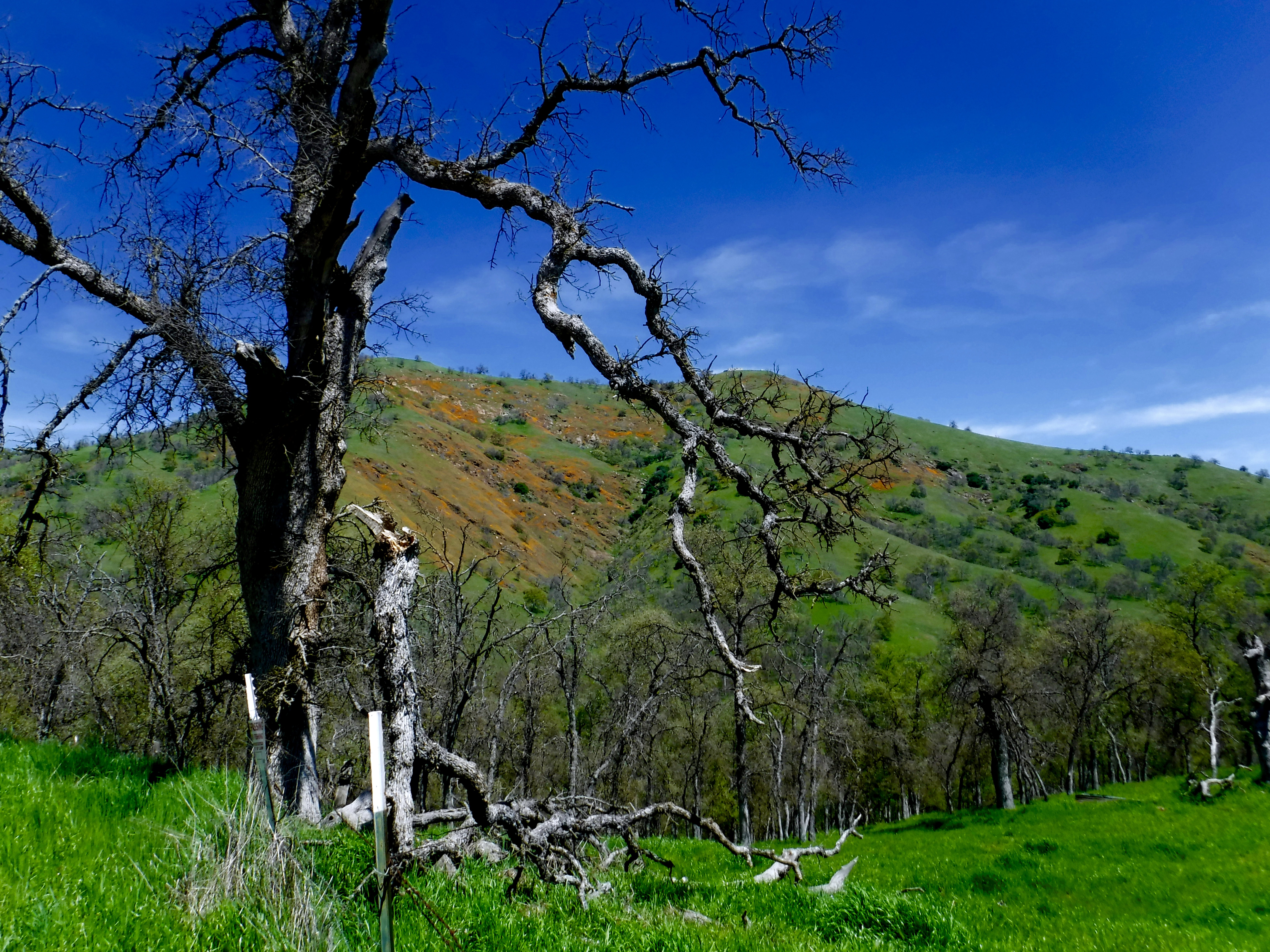
This year we continued north into the hills instead of staying in the valley through Auckland, Badger, Sierra Glen, Pinehurst, and Cedarbrook, all quaint Sierra communities along right-wrist-fatiguing-twisties and sweepers. North through more of the same sorts of wee settlements named Dunlap and Squaw Valley. A short westward bump on SR 180 and north again on Ellwood Rd. and Piedra around Pine Flat Reservoir through Trimmer on E. Trimmer Springs Rd. to Maxon, Watts Valley, and Burrough Valley Rds. delightfully adorned in best springtime array.

Pine Flat Reservoir near Trimmer with Fiddlenecks (Amsinckia)

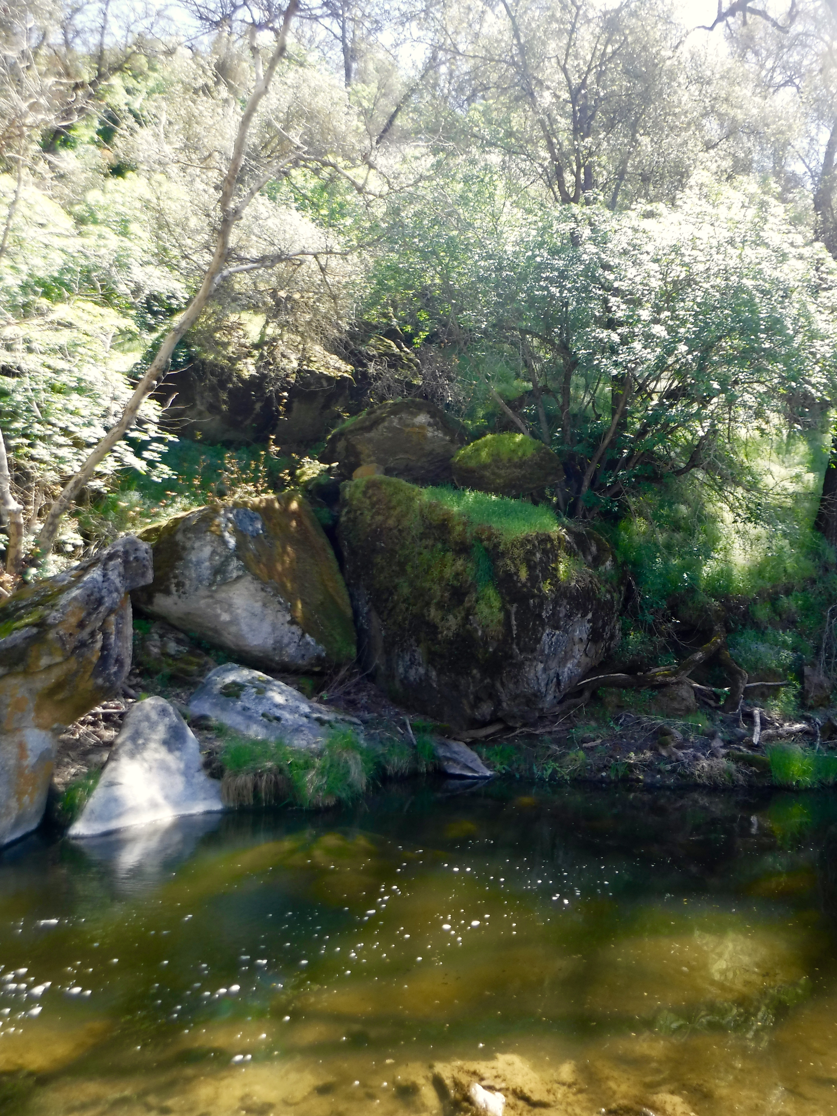
Enroute to Tollhouse Rd. we discovered that Dry Creek was wet. We also noted several folks on a springtime ramble who were picnicking along side of the bucolic Maxon Rd., or was it Watts Valley Rd. or Burroughs Rd.? Regardless, the spring splendor was evident on any winding country road in the vicinity.

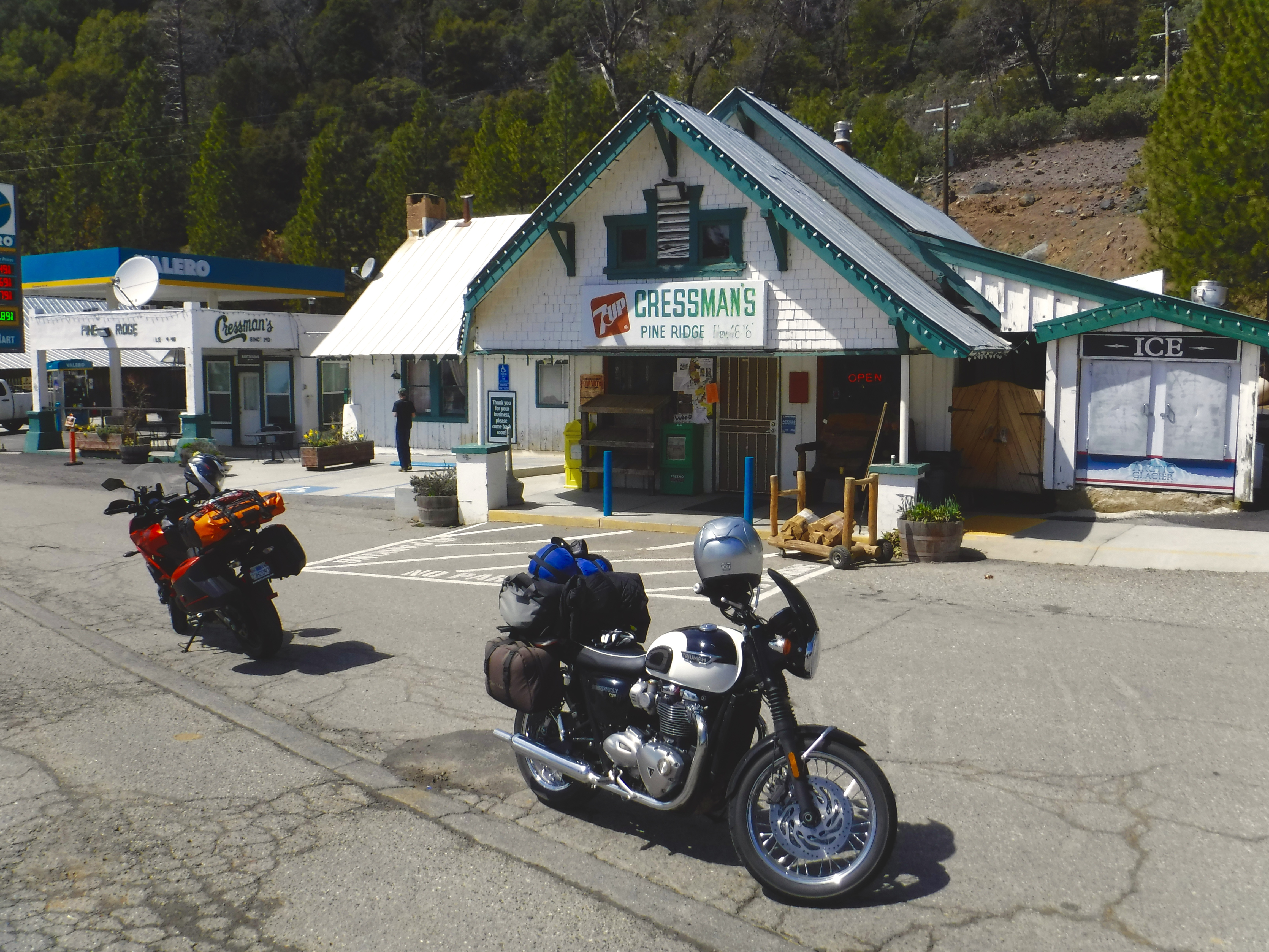
Reaching SR 168 a quick right hand turn took us up to the Cressman’s store on the way to Shaver Lake where some caffeine chased by a lime Bubbly hit the spot.

San Joaquin River watershed Fuller Buttes (domes) foreground, Mt. Ritter background (?)

After the caffeine-sugar rush at Cressman’s, we turned tail on SR 168 and headed, north on Auberry Rd. Before dropping down to Auberry and New Auberry (?) to Kerckhoff Lake we encountered a view of the Sierra crest that competed with the many twisties for our attention on the namesake road, which was neither new nor old, as we headed down to North Fork. This view is comparable to that of the Mile High Vista on the Sierra Vista Scenic Byway that you can access in North Fork or in Bass Lake on Beasore Rd..

More twisties up Rd. 274 to Bass Lake and Yosemite Forks where we joined SR 41 through Oakhurst zipping onto SR 49 into Mariposa for petrol for the Triumph.

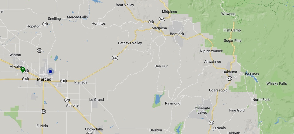
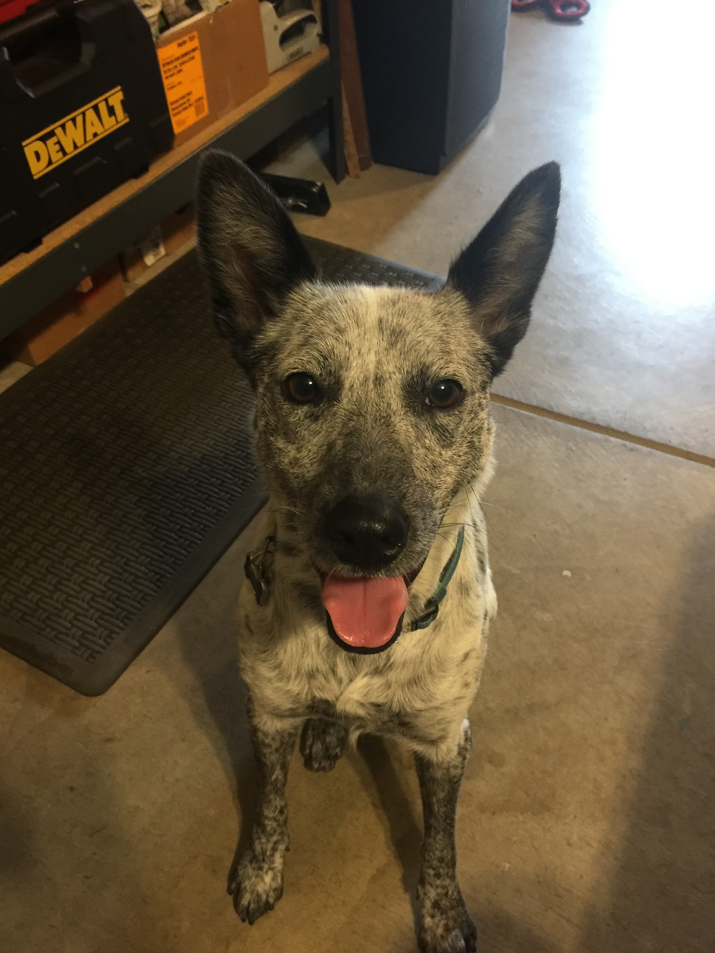
Like Sea Biscuit returning to his stable, we continued zipping on SR 49 to the Mt. Bullion Cutoff where we dropped down Guadalupe Grade on SR 140 to Catheys Valley being careful to slow our zipping as that section crawls with CHP anxious to ticket unaware tourists. To avoid the speed trap, we took Hornitos Rd. to Merced Falls and Snelling Rd. to G St. finally arriving at home sweet home to the affectionate gaze of SoBe eagerly awaiting a reward for being a good dog (and only driving Toni, Kyndra, Luna, and Dakota just a little crazy).

Four days and 1147 miles from the Central San Joaquin Valley, across the Coast Range to the Pacific coast, bisecting the Carrizo Plain, up and over the Tehachapis, to the Mojave and down to Death Valley, & back along western slope of the Sierra home.

I’m looking forward to my next, and who knows, maybe my next favorite tour, the one not yet taken…

2018 Fall Moto: Four Days, A Volcano, Redwoods, the Pacific, and Clear Air

IMG_6957

The air was lighter in October than during the early fire season where much of Central California was blanketed by smoke from the Ferguson, Carr, and Mendocino Complex fires in July through September. These fires, just three of the 8,527 conflagrations in all of California, were controlled when the tragic and massive Camp fire erupted in November 2018. In Merced, our home, we’re accustomed to fog in the winter but without the AQI 200 – 300+ ashen particulates you could taste with each breath experienced this summer. The extended summer fire season ironically put a damper of sorts on my usual bicycling, hiking, and moto adventures.

Thankfully, as fire activity rapidly diminished and the AQI resumed it’s more normal “unhealthy” rating in September before raising it’s ugly mane again in November, plans were made to travel through the Western Sierra Nevada with moto/bicycle pal Pete on local roads including Hwy 49 up to Lassen National Park, west on Hwy 36 to the Lost Coast, south on Hwy 1 to Jenner, and finally east to Santa Rosa and home .

4 Days, A Volcano, the Pacific and Clear Air

Day 1 to Sierraville

The challenge on a four day 1,000 plus mile moto ride is that the riding part will take up a good part of the day that cuts into the stopping parts for fuel, food, and snapping inspiring pics. Most gas station stops, while a necessity, are less than inspiring food or pic ops unless beer is your food of choice.

Pete mustering an inspiring smile while contemplating where all the ‘bargain” beer will go

Hwy 49, the Golden Chain Highway, would have taken us through Jamestown had we opted to go to our usual Bear Valley Rd. junction. Not wanting to deal with the Golden Traffic Chain quite yet, we opted to travel the less traveled roads through Knight’s Ferry following part of our bicycling route on Los Cerritos to Keys Rd., Lake Rd., around Turlock Lake, and across the Robert’s Ferry Bridge. From there on Crabtree, Warnerville, and Willms Roads intersecting with Hwy. 108 at Knight’s Ferry we headed north on E. Sonora Rd. through Eugene on Milton Rd. then rode through Felix, Milton, Jenny Lind, Rancho Calaveras thus skipping a big chunk of Hwy 49 when finally reaching San Andreas. From there it was on to Camp Pardee, Buena Vista, Ione, Latrobe, Shingle Springs, and Kingsville into Placerville where a first inspired smile was recorded. Bob Frost would approve the lesser road smile.

No less admiring of Robert Frost, my fellow two-wheeler friend and I often jest about our admiration for Peter Fonda’s declaration from The Wild Angles that inspires our taking roads less traveled:

“But tell me, just what is it that you want to do?”

Dirtbags that we are, not wanting to be hassled by the man, we figured the tourist traffic along the more established picturesque State Highway 49, say from Coulterville, was best to be avoided in pursuit of our desire to be free to ride our machines and have a good time, even though we’d miss out on Pete’s favorite twisties on Hwy 49 from the Fremont Overlook down to Bagby. From the inundated historic Bagby stop on the Yosemite Valley Railway, more twisties climb up into Coulterville where if you’re lucky, the “mayor” will be holding court on the patio of the Coulter Store …

Plans, like dreams, are easily broken and unlike a movie script we had resumed riding Hwy 49 through the suburban Sierra through Placerville to Auburn. Somehow stop light after stop light dampened our sense of freedom until reaching the Grass Valley and Nevada City nexus where less of the man’s repression was evident. Presumably because fire discouraged tourism was at an ebb.

Attempting to abide
Abiding

From GV/NC we headed NE to Downieville as the afternoon shadows lengthened and we were once again free, free to ride our machines and have a good time!

Lengthening shadows
Ebbing tourism

Two wheeling in Downieville inclusively involves pedalling as well as twisting a throttle, although from the photo above, you’d think Downieville a sleepy little foothill burgh. Absent are the two wheelers that I recall outnumbered the school busses something on the order of 100:1 that are mysteriously absent in the photos.

From Downieville we entered the deciduous and evergreen zone of the Sierra having left the grasslands savanna riding twisties and rolling hills through chaparral/oak woodlands of the valley and foothills. We crested the Sierra Nevada near Sierra City, where the vegetation grades from mostly ponderosa pine at the lower elevations on the west side and lodgepole pine on the east side, to fir and spruce at the higher elevations. Después de disfrutar de una buena comida en el restaurante Los Dos Hermanos, we discovered the creeping seasonal change in what resembled alpine conditions that exist on the eastern side of the Sierra crest and at the highest elevations where the aspen beginning to change color telegraphed winter. But where to camp for the chilly night?

A quick stop for provisions, following that delightful mexican dinner, we procured the philosophical musings lubricant known as beer, Negra Modelo as I recall, at the Sierraville Service and Country Store. Here the delightful proprietor happily gave directions to the nearest campsite: “Keep on 89 over the hill and down at the bottom you’ll see the Cottonwood Creek Campground. It should be open.”

“Keep on 89 over the hill…”
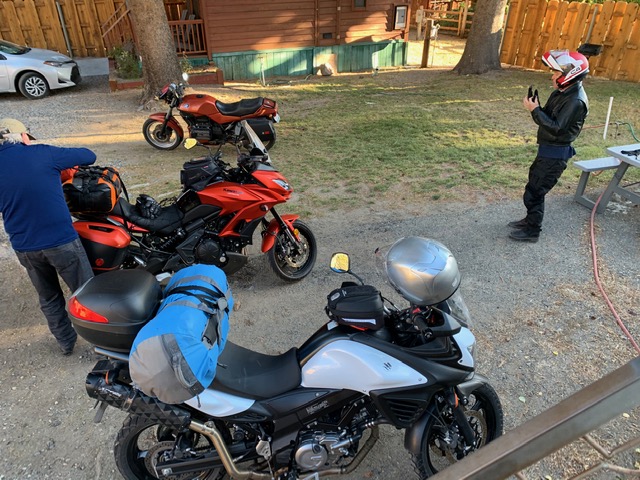
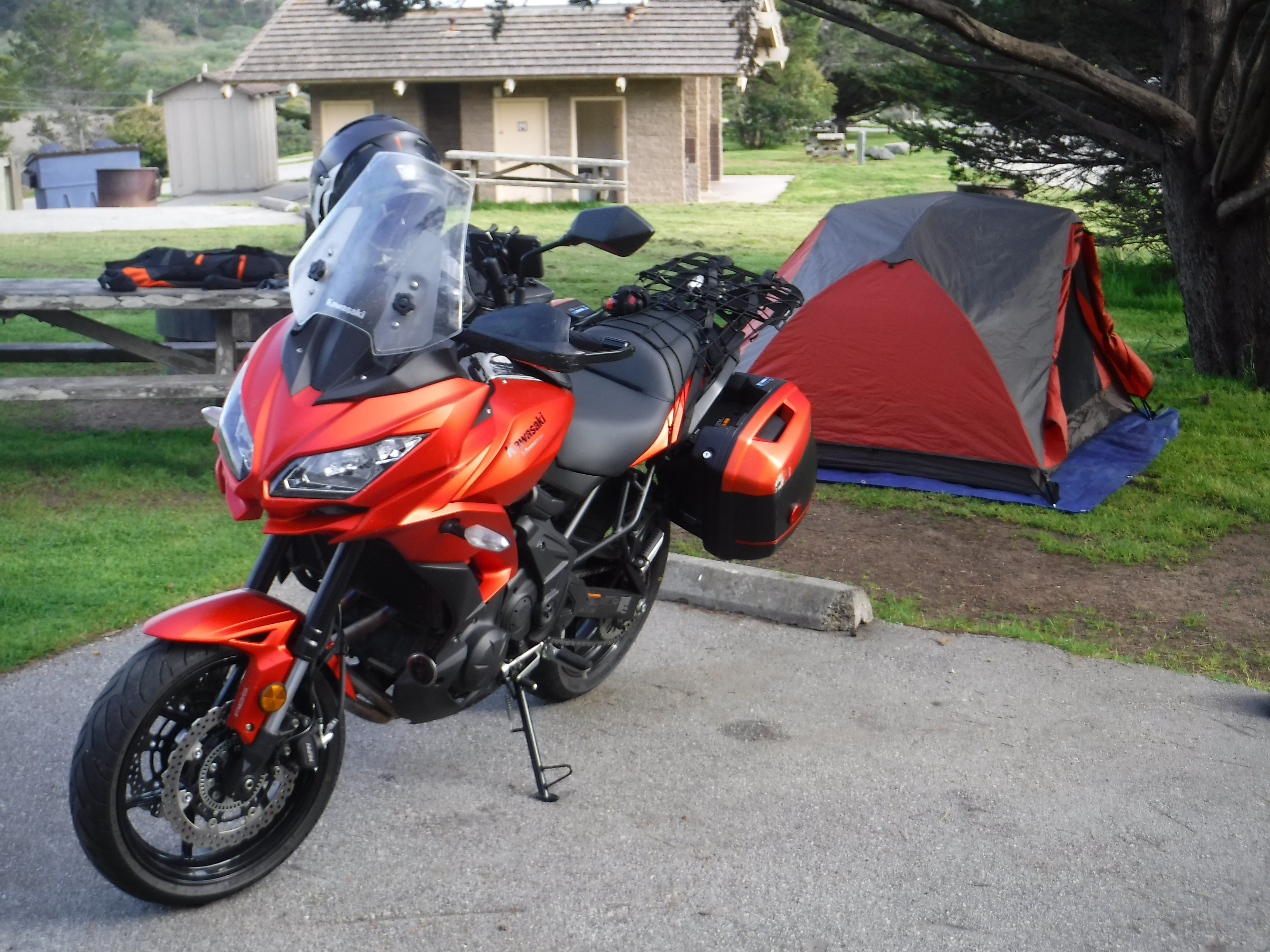
The Bonnie and Kawasexy taking it easy at the end of the day

Indeed, the campgrounds were open with two other occupants. Running water was not available as nighttime temps were below freezing and the system was shut down. However, our cervezas didn’t have a chance to freeze as we enjoyed spirited conversation of the philosophical sort in recalling 280 some miles of the day’s riding through stunning landscapes ending the day in view of those aspen readying for winter.

Day 2 Bound for the Redwoods

Up and at’em early, thinking we would scoot out of the campground leaving no trace of our stay as did our neighboring occupants who scooted out only minutes before us and who should we encounter? Yep, Ranger Earl seeking remuneration for his dutiful 8 a.m. campground roundup. For our nine hour stay he generously gave us the “winter rate” of $10 instead of the normal $20 fee since there was no running water. Not quite the rate our fellow squatters enjoyed, we suspected our $10 provided the good Ranger with a fine huevos rancheros breakfast at Los Dos Hermanos following our departure.

Returning to Sierraville we sought breakfast at Smithneck Farms Bakery/Cafe for a hearty bowl of oatmeal and a stout cup or two of java.

Our destination was the Grizzly Creek Redwoods State Park to camp for the evening, but first, there was this volcano we wished to see. Heading N Northwest on Hwy 89 we rode through several small communities. For such a sparsely populated region the folks living there sure like to identify their homesteads. We rode Hwy 89 through Calpine, Whitehawk, Clio, Graeagle, Blairsden, Two Rivers, Cromberg, Spring Garden, Massack, East Quincy and Quincy two communities I remembered visiting during my undergraduate days at Chico State. From Quincey we encountered Keddie, Indian Falls, Greenville, Canyon Dam, Lake Almanor, and Chester, the latter two also remembered from the fog of Chico Daze.

Heading west on Hwy 36/89 we climbed up to Lassen Peak the southernmost active volcano in the Cascade Range of the Western United States. On May 22, 1915, a powerful explosive eruption at Lassen Peak devastated nearby areas, and spread volcanic ash as far as 280 miles to the east. Considering California was already smoldering, the potentially eruptive volcano didn’t really cause us any concern, our lungs hardened with forest particulates having endured the summer fires riding our bicycles. What’s a little pneumonoultramicroscopicsilicovolcanoconiosis among friends?

It’s a small world after all and whom should we encounter at the Kohm Yah-Mah-Nee Visitor Center? A fellow geezer and former resident of Merced, our home town, fellow bicyclist, and grandfather who adoringly cares for and celebrates his grandson and their antics on Facebook while my former student, his son, is at work… Ken who eschewed BMW motorcycles for years owning a Honda CBR 1100 XX and who gave up riding motos for bicycles after his second or third mid-life crisis until a fourth or fifth mid-life crisis found him retiring to Lincoln, CA. We serendipitously discovered him astride a BMW beast of a geezermobile pulling into the visitor center parking lot where his riding chaps were waiting. It seems his buddies were frustratedly awaiting his return from the volcano’s summit with spectacles he both lost and later found crushed. A classic geezer move that ended with a surprising encounter and mini-reunion.

Inspecting crushed spectacles on a beast of a bike… Don’t drop it, it would be considerably harder to pick up than the glasses

Soon we bid adieu to Ken and his stuffy BMW crew who were returning from some Canadian luxury tour headed to some cushy resort at Lake Almanor to guzzle fancy micro-brews. With miles to go before we sleep, and miles to go before we sleep, we climbed back on the people’s bikes to begin the our westward journey on Hwy 36 to the famed twisties west of Red Bluff. You know you’re on the right road as you leave Red Bluff and see the sign warning…

But before you can enjoy the clutch-wrist, throttle-wrist, and shift-lever-left ankle, right-brake-pedal ankle fatigue, you happen to notice a nail in your tire after fueling next to a motorcycle dealership/shop. Serendipity again? Nah. I had to plug the tire because the shop manager wouldn’t assist me other allowing me to air up the repaired tire citing liability exposure. He couldn’t sell me a tire because he didn’t have one to fit my bike. It was a Kawasaki dealership too! Speaking of exposure, we were exposed to searing heat in the upper 90’s having just descended from the cool of the mountains adding to the fun. Indeed, our delay wrought afternoon sun angle glare directly in our face as we began the best part of the ride.

Soon the arid lee side of the Coast Range hills gave way to mountains shielding the sun with forests giving us a greater measure of confidence in being able to see through the glare the undulations and blind corners we encountered. However, as we continued through the next 100 or so miles of twisting roadways, some under repair and gravelly, fatigue began to set in.

I hastily pulled over near the Mad River Burger Bar needing a brief respite from the constant throttle twisting, shifting to accelerate, braking, and down shifting, repeat and rinse. I used the stop as an excuse to consult the map even though there was only a single road to our destination. Slightly off-balance, my topheavy packed-with-gear bike began to tip just as Pete pulled alongside. Though I had dropped my bike once before on another trip with Pete, that time when he had abruptly pulled over to take in a view on wet gravel along the side of the road on ride west over Ebbetts Pass earlier in the year, I hadn’t since. I wear the scratched hard case as a battle scar of freedom! Timing is everything and so just as Pete pulled up my candy-matte orange Versys domino struck his pristine, shiny chrome, black and white [and in a] Triumph [of gravity] both bikes came to rest, gently on their sides.

Hastily righting our bikes, embarrassed as wouldn’t you know a crowd was assembled for happy hour at the bar, we superficially assessed the damage and were pleased to notice how little damage had occurred. I was somewhat relieved sensing that Pete was none too happy with my faux pas. An eventual clutch lever replacement on Pete’s bike along with a slight headlight realignment and a footpeg replacement on the Versys made it all mo’ better.

Following a brief conversation with a local about camping in the vicinity we decided to clear out from the gawking crowd of 420 bystanders at the Mad River Burger Bar and Off Sale saloon as he recommended we just ride up a dirt road behind the bar and set up camp there… I have no doubt that his overture was sincere. It’s the 420 happy hour crowd who might just have an interest to protect whatever just might be up that dirt road, that we were concerned with. One never knows how territorial Master Gardeners can be…

Hwy 36 follows the meandering Van Duzen River just west of the Mad River through Trinity and Humboldt Counties. As nightfall was descending and not having eaten since a sammie on the side of a volcano, we passed a couple of opportunities to grab the evenings provisions in the belief that Bridgeville, CA, an actual designated town on the map closer to our destination, would have a store and/or restaurant. We were wrong. Bridgeville had been variously put on the market and sold as many as four times since 2002. Apparently legalizing pot was driving real estate speculation. As far as we could tell the only feature of Bridgeville that had any redeeming value was the old Bridgeville bridge over the Van Duzen River constructed in 1875. We declined taking any dirt roads to look for other “value added” features of the town.

Photo courtesy of Wikipedia

Just a few miles down Hwy 36 we came upon Swains Flat Outpost and Garden Center in the community of Carlotta where Royal Gold Bulk Soil could be purchased. Given that the Outpost was along a fertile river plane in a dense forest we wondered why there was so many garden supplies so readily available. It certainly didn’t appear there was a farmers market nearby and the only food available in the Outpost grocery store was from the industrial food chain. So a pre-made sammie, some chips, and the requisite micro-brew, a fine Lagunitas IPA as I recall, were procured as we were given directions to the only campground open in the area, the Van Duzen-Pamplin Grove County Park on the recommendation of a bored yet distracted young proprietor.

There must be UC Extension, Master Gardeners’ group in the area…

We arrived at the campground under the cover of darkness. Arriving in a redwood forest at night is akin to entering a sensory deprivation tank without the water. It was pitch black and silent. Finding a nearby campsite, we pulled in for the night setting up in the light provided by our motos to enjoy an incredibly still evening, the only sound that of the crunching of chips as we ate our mediocre dry and virtually tasteless industrial sammies. The beer, however, was excellent.

Day 3 More Redwoods, But a Coastal Course Change

We had originally planned to ride through Ferndale to Mattole Road then on to the Lost Coast and down and back to Hwy 101 by way of Petrolia, Honeydew, and Bull Creek. But considering my brand new Dunlop Sportmax Q3 rear tire was plugged, we opted to stay on smoother pavement nearer “resources” should my fix fail. So, our day 3 breakfast consisted of delicious handmade sammies from the Murrish Market in Hydesville restoring our faith that a sandwich is nearly the perfect food any time of the day or night unless it comes wrapped in plastic. The sammie meal theme was established.

Intersecting with Hwy 101 in Alton, we began our trek south through the Avenue of the Giants in the Humboldt Redwoods State Park. The otherworldly roadway was sublimely serene with little traffic on our morning tour as mists drifted in and out of this incredible sunlit canvas before us.

Departing the park near Phillipsville we continued South through grove after grove of redwoods crossing the South Fork of the Eel River dozens of times through Garberville, Benbow, Cooks Valley, Piercy, eventually reaching Leggett where leaving Hwy 101 westward we merged with Hwy 1 getting glimpses of the Pacific as we wound our way through Rockport, Hardy, and DeHaven. It was Saturday and the road was filled with tourists and cyclists, though it was a tad misty from fog.

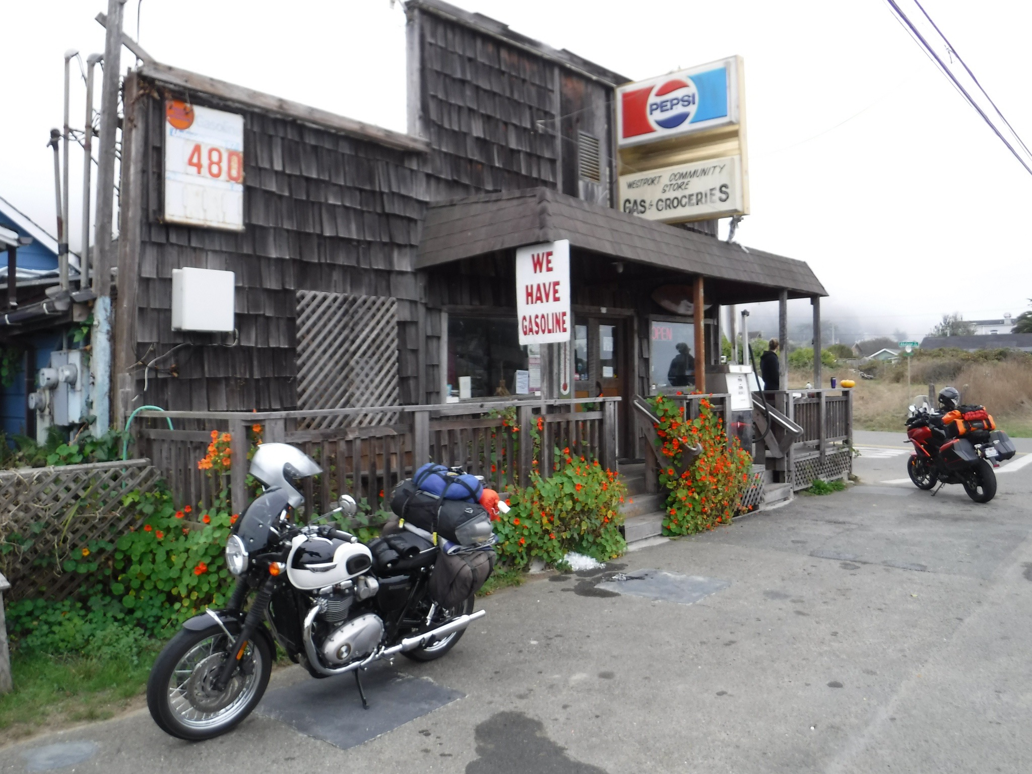
The cool foggy coastal route called for a warm beverage and the little community of Westport was just the sort of funky place you could find a funky cup of fog cutting coffee. And the roadside tire plug repair was holding!

The Westport Community Store takes the funk out of the fog

Pete and I entered the store to find a frenzied proprietor behind the counter preparing a couple of dozen sammies for the volunteer fire department’s Saturday training whose CalFire Captain was entertaining us with local knowledge and history of the area. Several other customers were lined up as well. After about 20 minutes of waiting to order coffee, the master deli-man looked up for the first time as we asked his young daughter working the register for a cup of coffee. His head dropped returning to focus on frenzied sammie making and said with only slight derision, “It’s in the back, self-serve.” We decided to forgo sammies…

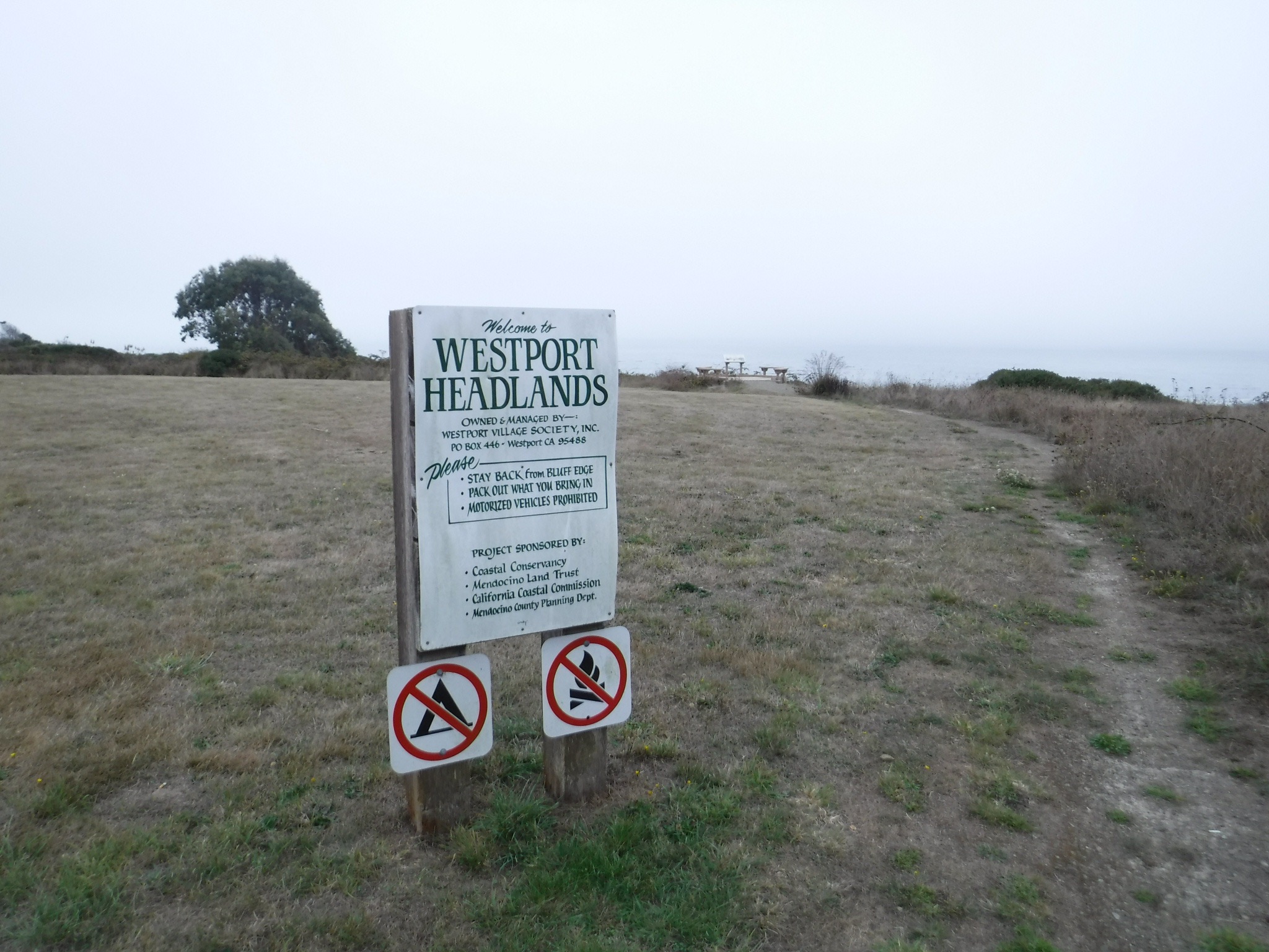
The pristine Pacific Coast
Visual pollution
While camping and fires were prohibited, the selfie was permitted

Wanting to make our Santa Rosa destination for dinner, hoping our friend Dale would prepare something other than sammies, we set off again riding through Newport, Inglenook, Cleone to Ft. Bragg for a snack and fuel where we met several cyclists, one of whom was traveling to or from South America. We suddenly felt small. As the let’s-take-a-drive-up-the-coast crowed continued to crowd the highway, it was on to Caspar, Mendicino, Little River, Albion, Manchester, Stomella, Flumeville, Point Arena, Callway, Fish Rock, Anchor Bay, Gualala, Sea Ranch, Stewarts Point, Walsh Landing, Timber Cove, and Fort Ross. All the names seemed to historically recall past economies of small communities now transformed into tourist stops along a most beautiful and rugged Northern California coastal region.

Reaching Jenner with grumbling stomachs we headed westward on Hwy 116 along the Russian River through Duncan Mills, Seridan, Monte Rio, Guerneville, Forestville, to Guerneville Rd. guided by the GPS to turn right and left here and there to arrive at Casa del Dale.

Dale is a friend with whom, in our other lives, I have skied, hiked, and ridden bicycles along with a group of like-minded outdoor enthusiasts who over the years lived in Merced. Joined by our wives and occasionally our kids, we lived the California dream. We skied cross-country in Yosemite, spending a couple of New Year’s Eves in the Ostrander Ski Hut feasting on unbelievably extravagant and sumptuous meals complete with wine and desserts, all hauled in on sleds and our backs. At other times we would ski out to Dewey Point in the morning then heading back to Badger Pass to ski downhill in the afternoon. Conveniently Dale relocated his family to Yosemite to head a dental practice in the park so a warm fire, mangia and bevi always greeted us following our seasonal trips on snow and into the backcountry. We were hoping Dale had not lost his touch even though it was his wife Catherine who did all of the cooking. Alas, Catherine was out of town.

Lead by our friend Larry, a ragtag assemblage of fellows rode our bikes across 11 Western States on an annual “Tour de (fill in the blank)”. Backpacking was also a feature of our outdoor pursuits. In fact Dale and Larry on a second attempt to hike the length of Muir Trail in ten days was chronicled in a self published narrative penned by Larry. Though a tough little fella, Dale once a Forest Service Smoke Jumper never joined me during my sailing phase. I guess that’s like me giving up on the golf phase. I can’t remember ever seeing Dale swim, though we variously participated in team triathlons. Dale was the designated cyclist. Sadly, while Larry has passed away the victim of brain cancer, his memory is alive in all who knew him and his service to his community, Mammoth. We continue to celebrate his memory in pursuit of adventure. Whether planning or setting about on a moto, hiking, or biking adventure, my thoughts always turn to Larry.

We miss you friend

Dale didn’t disappoint as he prepared ribeyes with baked potatoes and wonder salad, right out of the bag! How could he fail? His son Orlando is a talented designer who completely transformed a cramped seventies kitchen into a beautiful and efficient gathering place for the family in their tastefully appointed suburban Santa Rosa home. We dirtbags were honored.

Pliney the Elder was paired with the tasty repast as we lapsed post dinner into conversation of the philosophical kind before retiring. I suspect that’s why Dale’s wife Catherine was absent…

Day 4 Homeward Bound

Anxious to get underway to avoid the Sunday-driver traffic in wine country, Pete and I packed and readied for the final leg of our four day mini-adventure thanking our gracious host.

Dale’s flair for decorating was assigned to the garage

Though I had roughly planned the course for our previous three days I really wasn’t too sure of the best moto route to take back to Merced from Santa Rosa. It was decided that we leave early to beat the traffic that would blossom as the fog lifted. So it was east to St. Helena skirting Lake Berryessa on Hwy 128 and the Glory Hole. Apparently wine drinkers get an early start as there was much traffic on our way out. Exiting Hwy 128 in Winters we headed south parallel to I-505 on Winters Rd. then east on Allendale Rd., a quick south on N. Meridian Rd., then west on Dixon Ave. West see what Dixon had to offer. Entering the town through what appeared to be a Mendota, CA like barrio, suddenly, and to our surprise, a vibrant yet quaint village square with shops and restaurants emerged from a redeveloped downtown center bustling with Sunday brunchers. Huevos rancheros at Taqueria Adelena hit the spot as we planned our stretch ride route. It’s only sort of weird to have coffee with Mexican food.

South on Hwy 113 to Hwy 12 and Rio Vista was reasonably uncomplicated. However, Hwy 12 across the Rio Vista bridge then west through Terminous into Lodi was a virtual parking lot. To avoid the interstate and freeway we rode through Lodi on Hwy 12 and turned south on Alpine Rd. until heading east on E. Kettleman Ln. to stop for a refreshing cold beverage at the Countryside Mini Mart at the intersection with Hwy 88 attracted to their bold banner screaming FAST SERVICE since by early afternoon we were anxious to get home.

Continuing east on E. Kettleman Ln through vineyards we then intersected with with Jack Tone Rd. south crossing Ruta Estatal California 26 (?) to east on Hwy 4 into Farmington as vineyards gave way to almond orchards and silage fields. South on J-6 Escalon-Ballota Rd. to east on Lone Tree Rd. took us to Valley Home where we then headed south once more. From there it was Valley Home Rd. through Adela and Oakdale continuing south on Albers Rd. on to the Oakdale-Waterford Hwy through Waterford and Hickman down to N. Montpelier Rd. that becomes Oakdale Rd. crossing the Merced River on to Amsterdam and Hwy 59 to home sweet home.

The trip could have easily taken several more days to fully appreciate the terrain, the riding, the nearly perfect weather and the people and communities through which we rode. We might have found something other than sammies to satisfy our hunger. The beauty of living in a state of nearly 40 million residents is that many of them tend to cluster together in coastal metropolitan areas. Aside from a few brief but crowded roadways much of the riding was over good road surfaces with little to worry about except for an unexpected deer crossing. Though it was only four days, spending nearly all of the daylight hours on the bike in the company of a good friend was itself a blast. Next time I’ll use other less traveled roads and maybe take a little more time for the stopping parts and pics…