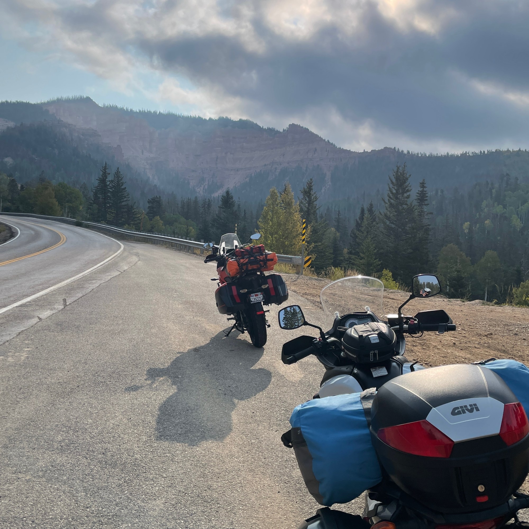
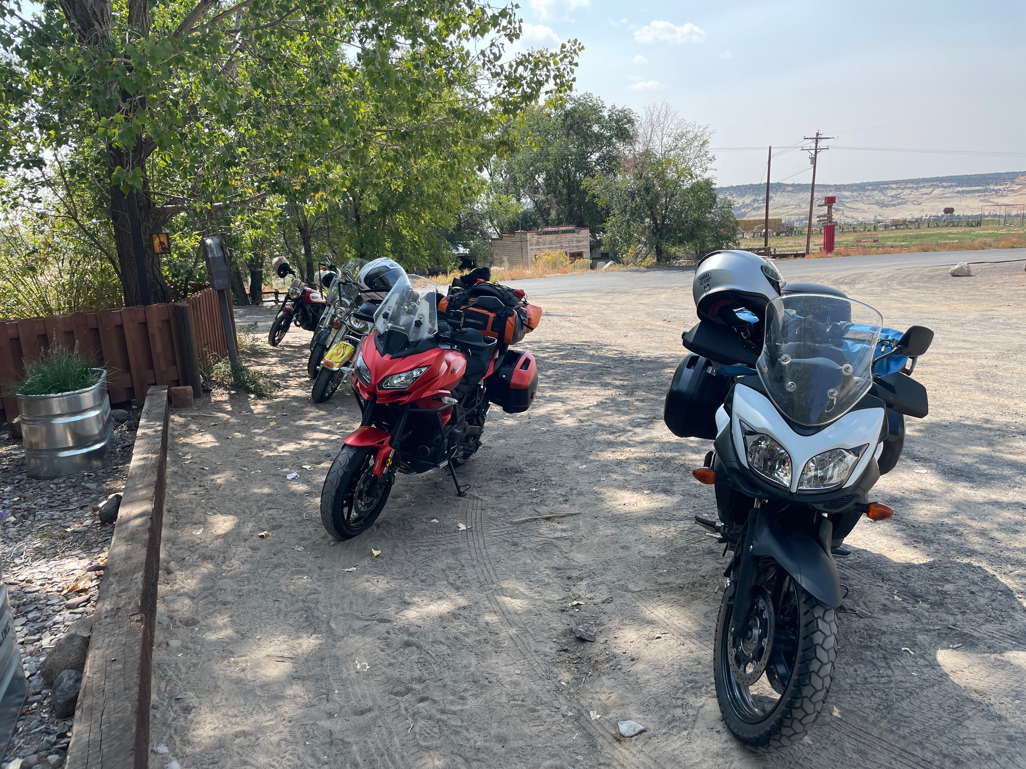
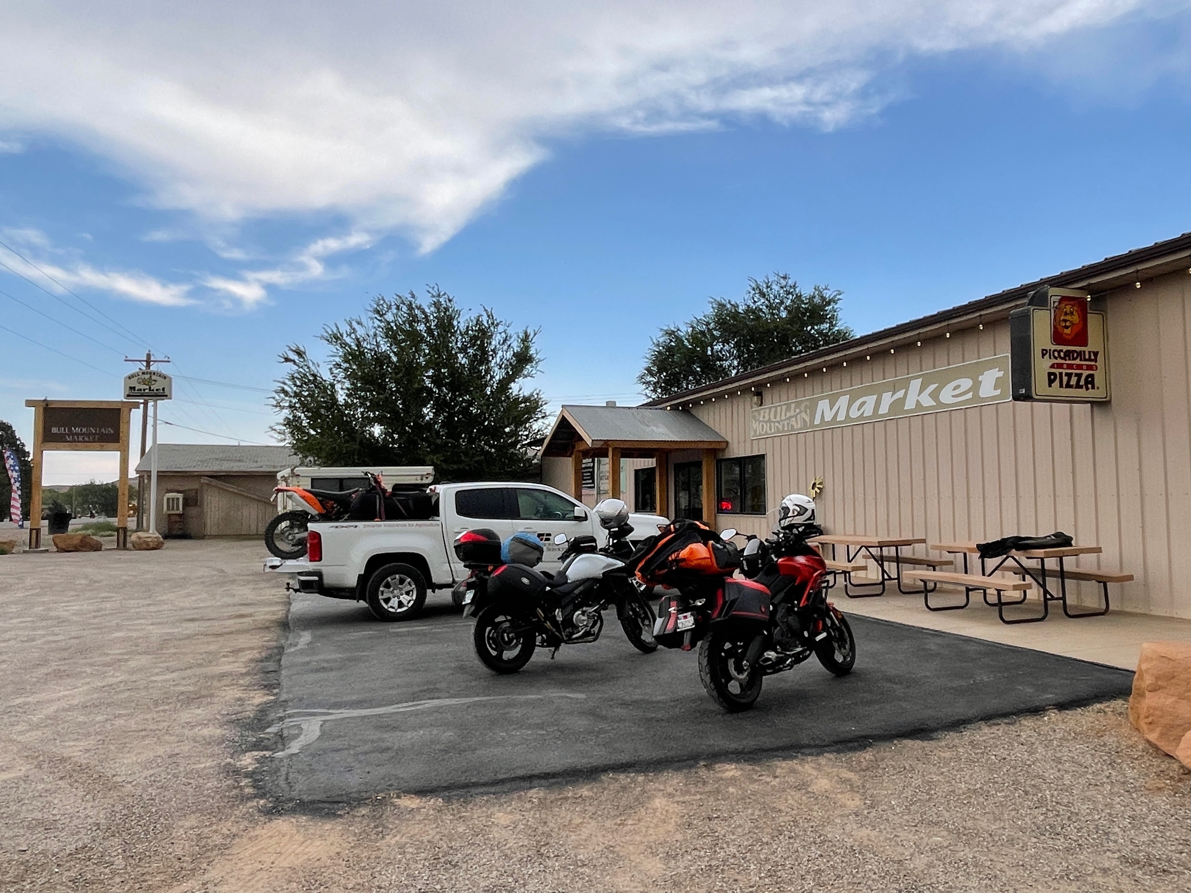
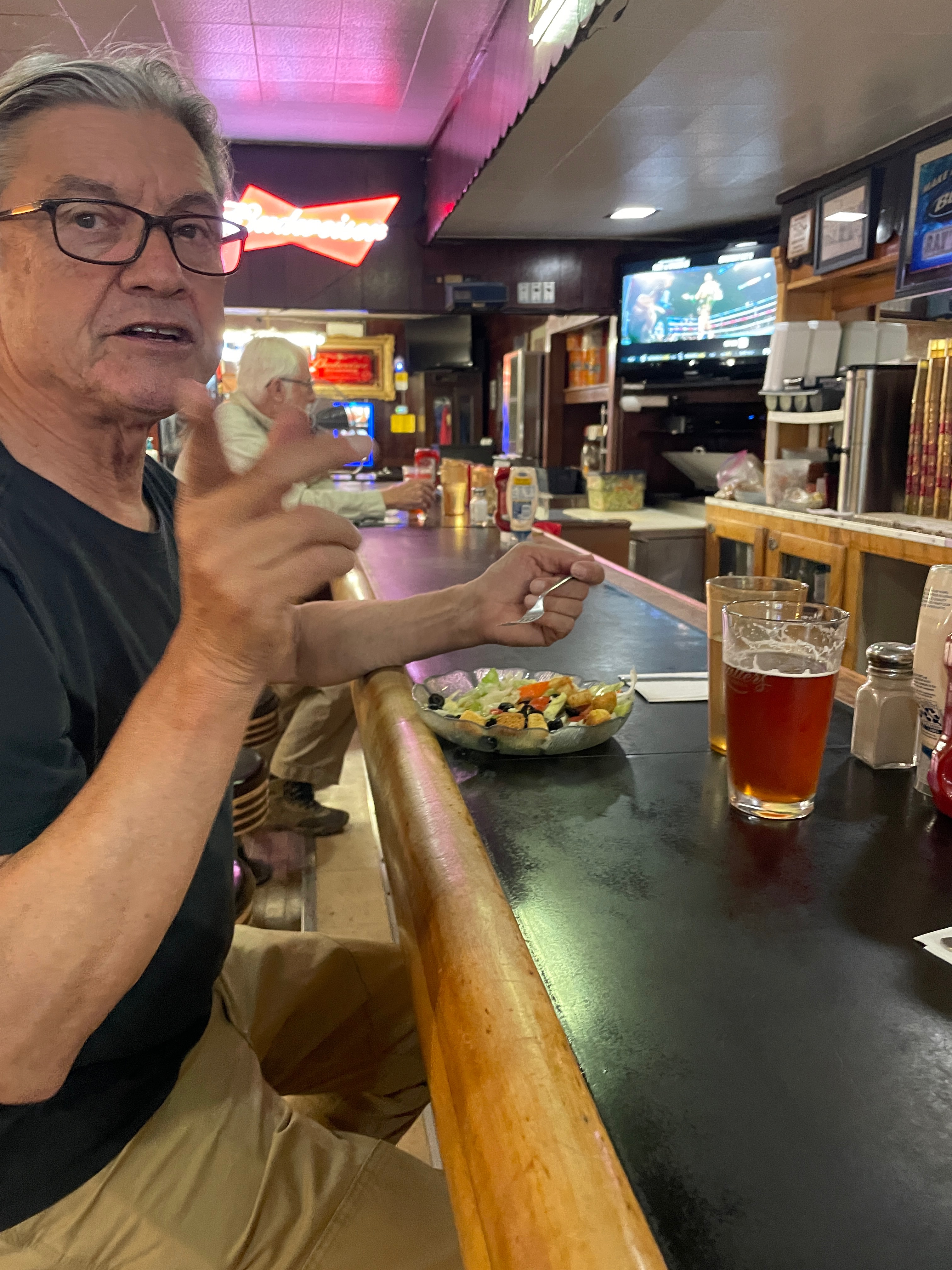
There were a couple of backroad options for the day’s ride and so we selected a new route, Yokohl Drive to Springville. New for me, but not for Pete who 20 years earlier took the same road Death Valley bound with his late pal Steve Walstad. Kind of a tribute to a lost friend.
From Three Rivers we headed back on CA-190 through Lemon Cove to Exeter where we had a delightful breakfast at the East Meet West restaurant. From the “City of Exeter” webpage: “Exeter is known for growing the sweetest oranges in the world and as the “Citrus Capital of the World”. How sweet!
Citrus Capital of the World
From theCitrus Capital of the World we took Yokohl Drive headed to Springville. Fiddlenecks and meadowfoam, lupine and poppies with the backdrop of snow capped Blue Ridge beckoning, we noted a number of bicyclists, kitted out exhibiting an array of fitness levels, heading up to and down from, higher elevation. It was some sort of organized ride, perhaps a club enjoying this early spring appetizer. The road surface was comparable to Mariposa’s Old Highway 140 we often enjoy on hill rides ourselves, roughly 20% original pavement, 60% patched potholes, and 20% potholed. At one point in the road, as we began a steep climb, I was glad to have throttle assist and shock absorbers on our two-wheelers. Check out the street views on Three Rivers to Panamint Springs
Beginning to bloom
I learned the hand on hip move from my granddaughter
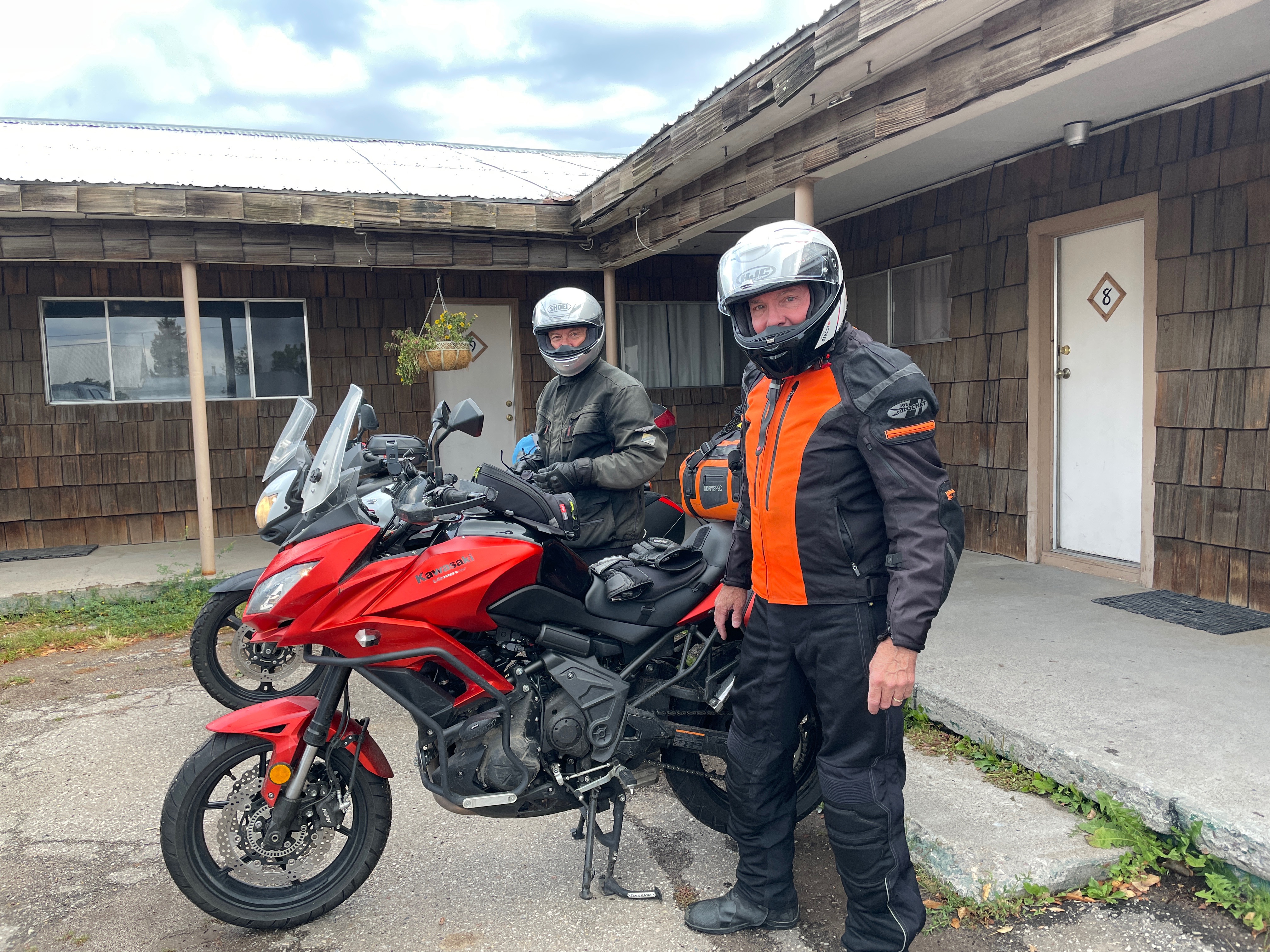
From Yokohl Drive to Springville, it was CA-190 to just east of Porterville where we rambled over Old Stage Rd to White River and White River Rd to Glennville. Glennville lies just west of the Alta Sierra Pass on CA-155 that drops down to Wofford Heights/Lake Isabella. It’s a very popular road attracting riders from far and wide who congregate at the Saddle Sore Saloon(pics from a 2021 tour). This tour included lively bike conversations with four gentlemen sitting on the deck of the Saddle Sore, all of whom were of our vintage, riding a V-Strom identical to Pete’s, a Honda NC-750, and a Tiger 850. I think the fourth bike was a Yamaha.
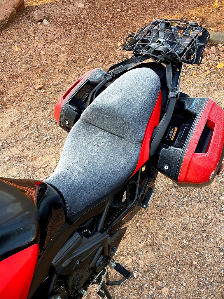
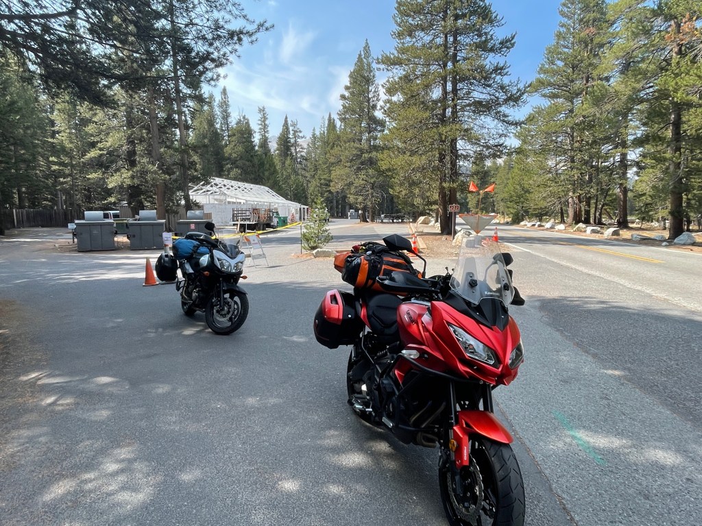
Saddle Sore Saloon, Glennville – Note the anti-saddle sore gel pad on the Kawasexy
After exchanging pleasantries, we mounted our steeds as another vintage fellow threw a leg over his Kawasaki Vulcan Vaquero bagger, who warned us to be careful of the sand near the summit. Indeed, the road was sanded and for a stretch, slushy from the melting snow of the most recent storm. Up and over Alta Sierra Pass descending from an elevation of 5,718 ft the road was clear as we headed to Kernville for gas and a stretch.
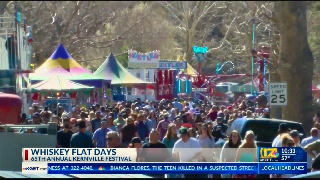
At the intersection of CA-155 and Wofford Blvd in Wofford Heights, it’s 4.3 miles to Kernville. Turning, we started seeing cars, trucks, and motorcycles parked on either side of the road for at least a mile from Kernville. Little did we know as we stop-and-went for that longest mile into town for fuel at the Shell station that it was the 66th Annual Whiskey Flat, Gunsmoke and Petticoats celebration established in 1957 and sponsored by the Kernville Chamber of Commerce. (https://whiskeyflatdays.com/). Below is a screen capture from last year’s event. Needless to say, my hands were firmly attached to the handlebars and I wasn’t going to try to take a picture…
No reaching 25 mph in this crowd
Since 1957, this event commemorates the old Kernville of the 1800’s that was named Whiskey Flat.Just a short 3 hour drive from Los Angeles to the Lake Isabella recreation area, you will find the quaint town of Kernville, home to Whiskey Flat Days (50 miles east of Bakersfield on Hwy 178). Whiskey Flat Days is held every Presidents Day Weekend. It is a leap back to the good ol’ wild west days when the area was settled by gold miners, cattle ranchers and trappers. Join us when Kernville reverts to its old name “Whiskey Flat” for four nostalgic days of fun for the entire family. Parade, Wild West Daze Rodeo, Wild West Encampment, Carnival Rides, Frog Jumping Contests, Whiskey Flat Mayor Contest, Food and Craft Booths, Epitaph, Costume and Whiskerino Contests, Line Dancing, Pet Parade, BlueGrass and Country Western Music, Art Show, Gunfighter Skits, Kids Activities, Games, and much more! Kernville Chambeer of Commerce
All we saw on our fuel stop were impatient drivers ignoring that fact parking was likely unavailable any closer than a mile back, and hundreds, maybe thousands, of beer swilling but good natured, revelers making any low-speed, high-center-of-gravity, Kawasexy manuevers terrifying as we attempted getting into and out of the Shell station dodging likely inebriated pedestrians and distracted drivers searching for noted non-existent parking.
From Kernville we sailed through Mountain Mesa, Weldon, Onyx, and Canebrake to whip over Walker Pass on CA-178 (el 5,246 ft). It was chilly, but clear of ice. Behold the east side. This descent is almost as breathtaking as the descent from Kennedy Meadows over Sherman Pass, just to the north, down 9 Mile Canyon Rd that I have only ridden on my other two wheeler, the Seven Axiom. Maybe it’s the extra mile that gives 9 Mile Canyon Rd that extra something. Or perhaps it’s the 56 mile climb to get to the 9 Mile Canyon Rd descent. Again, on this day, it was nice to have throttle assist.
Close to where the Pacific Crest Trail crosses CA-178
Short sections of US-395 and CA-14 took us through Inyokern to Ridgecrest where we joined CA-178 through Searles Valley, Trona, and Valley Wells on the Trona-Wildrose Rd, past the Ballarat Monument to the Panamint Valley Rd and our destination of the Panamint Springs Resort.
From Ballarat the Barker Ranch is only 21.8 miles
From 1897 to 1917 Ballarat served as a supply and recreation center for miners in the Panamint Mountains and Death Valley. Ballarat springs, cemetery, and remaining ruins of adobe, tin and wood buildings are featured. At its peak the remote outpost boasted 7 saloons, one school, and no churches.
Seems like a reasonable ratio of civilization:recreation…
Panamint Springs Resort Restaurant sporting 150 beers to choose from
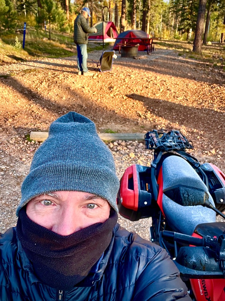
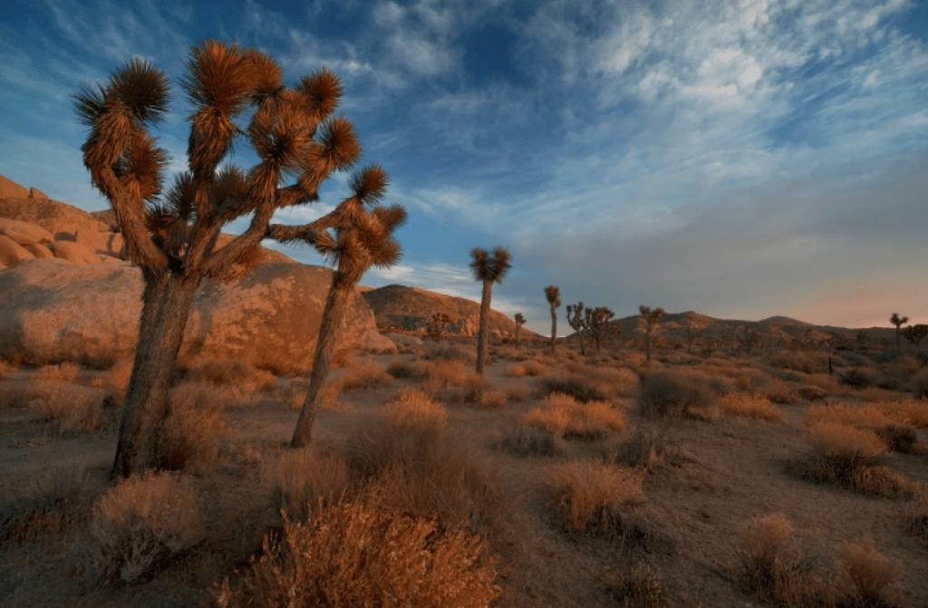
We raced to make the campground at Panamint Springs before sunset. Upon approaching the campground I had the sinking feeling of approaching the Joshua Tree National Park entrance with “no campsites available” posted in 2021 (https://sisyphusdw7.com/2021/04/29/mojave-moto-spring-2021/). Then, it was our incredible good fortune to have meet Andres and Pablo, two motorcyclists in their 4-wheeled vehicles, who shared their Jumbo Rocks campsite with us. The frazzled lass at the Panamint General Store where campsite registration is made said she was 100% sure there were no sites available. Pete and I have been to this campground on several past trips and we’ve never, ever, seen it close to capacity. In fact a year ago, it was closed in October and had been closed because of Covid since 2020.
Panamint General $tore
It was at that moment that Mike, the frenetic Bostonian who also worked the counter, was furiously searching their computer database for something that might wipe the desperation off of my face. I contemplated boondocking in Panamint Valley as he seemed to be acknowledging no-vacancy. It was also at that moment a gentleman behind us serendipitously announced that he wanted to cancel a campsite (#32) that he didn’t need as he and two other gentlemen had their daughters/goddaughters snuggled away in a “glampsite” at the “resort” and since their wives declined to join them, they didn’t need the extra campsite. Can you believe it? Lightning in the desert struck twice! I guess our search for new or expanded meaning about ourselves, about others, about nature, and about higher good through the experience, was manifesting itself.
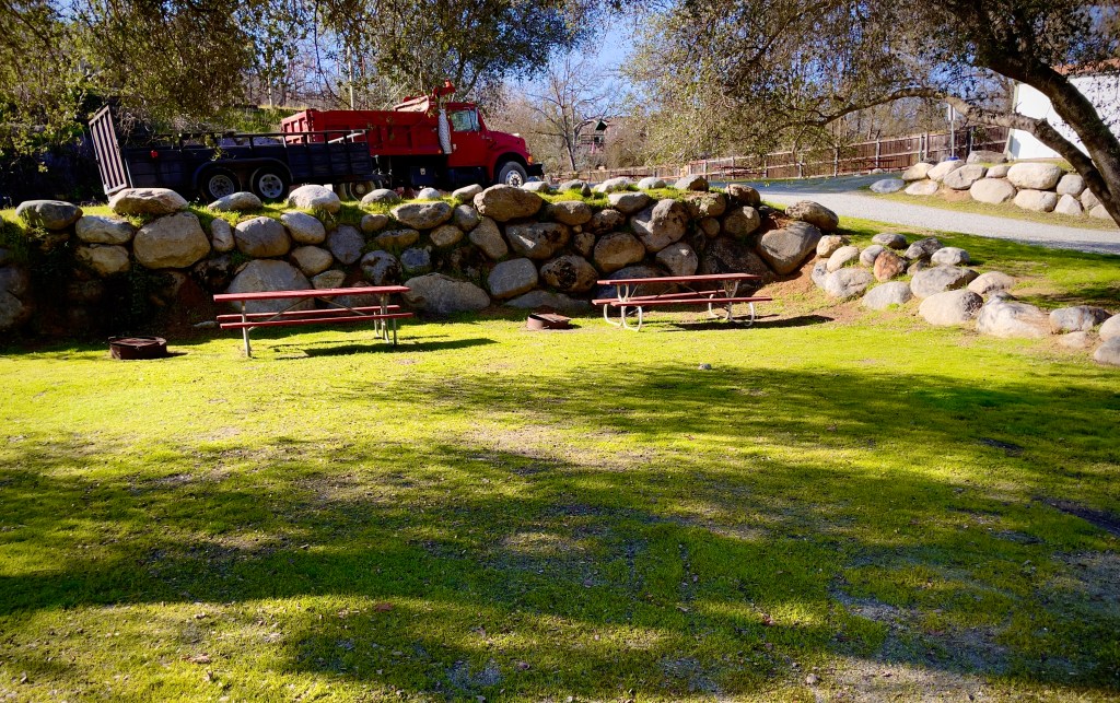
This is what campsite #32 at a resort in Panamint Valley looks like
We hastily set up camp and made our way to the Panamint Resort Restaurant for my second BLT where we, Pete and I, had the opportunity to enjoy großes bier, “big-ga beers,” and thank all of our campsite benefactors who arrived for dinner as well.
Strolling back to our campsite, our survey of the campgrounds indicated a large group of Boy Scouts in the group site to the east of our spot and a group of about 25 women adjacent to us in REI rental tents who were having themselves a time with lots of chatter and laughter. That’s when we met Mike and Marissa who had pulled into the adjacent campsite #33, our new neighbors from Toronto for the next two nights. They were spending the following day checking out the Scenic DV’s Greatest Hits and then were off to Joshua Tree. I was proven wrong about what I thought was wine induced merrymaking when I learned from Mike and Marissa the following evening that the merrymakers in the REI rentals were a religious group on some sort of retreat. That and the morning prayer circle gave them away.
You meet the nicest people on a Versys
In addition to the Scouts and Merrymakers other campground occupants included several RV’s, camper trailers, vans, tent campers, along with a few like minded moto travelers, all of whom rounded out the caravansary. In fact, there were several EV’s sporting about DV and even camping causing Pete and I perplexity as we wondered where they plugged in, in this infrastructure starved expanse. That is if you don’t include “bigga-beers” as infrastructure…
Mesquite Flats Dunes, home of the Chino Boy Scouts Sand Surfing Grom Championships
As the sun had set, the scouts, though tired from sand surfing the Mesquite Flats Dunes, were merrily chatting away while listening to whatever popular music coming from whatever amplified device brought from home to ostensibly ward off homesickness. They were outlasted by the adjacent REI rental retreaters whose leaders apparently weren’t enforcing the campground 10:00 quiet rules.
Alas, adult mirth beats adolescent music, homesickness inspired or not, IMHO for violating campground quiet rules… A few distant bleats, not quite brays, from the local donkey patrol closed out the evening’s festivities.
Once the campground became quiet, the wind picked up setting up the percussive flapping of the tent making for a restless night. That’s okay. I was given time to consider our journey thus far, often into mostly known places, where a person goes in search of new or expanded meaning about oneself, others, nature, or a higher good through the experience. Not sure I had met the personal transformation criteria, I wasn’t willing to return to my daily life until I had given another shot at transformation. And not the moment’s inattention transformation from the previous pilgrimage on the Kawasexy…
Where the pilgrimage finds Tom and Pete contemplating our good fortune…
“What good is the warmth of summer, without the cold of winter to give it sweetness.”― John Steinbeck, Travels with Charley: In Search of America
To Reacquaint With or a Pilgrimage To?
Preparing for our 2023 Desert Pilgrimage required planning to ensure comfort when we pitched our tents on each of the four nights on this five day late winter tour of the Sierra Nevada foothills, Death Valley, and Western Nevada basin. We covered some 1,215 miles not unlike how John Steinbeck prepared Rocinante for his nearly 10,000 mile trip of 75 days to reacquaint himself with the speech of the real America, to smell the grass and the trees, to see the colors and the light. These were his goals as he set out, at the age of fifty-eight, to rediscover the country he had been writing about for so many years. He took his dog Charley along for company.
Our goal was to take a journey into known and familiar as well as unknown or foreign places we have rambled through for so many years without freezing with Pete along for company. And as a pilgrimage is defined (and noted in the previously published preview of our Desert Pilgrimage on sisyphusdw7.com), we would be in search of new or expanded meaning about ourselves, about others, about nature, and a about higher good through the experience which would lead us to personal transformation. All this, after which Pete and I, two humble pilgrims a decade-plus older than Steinbeck, would return to our daily lives of household chores, motorcycle YouTube videos, our families and dog and cat friends, and an ever disappointing Warrior’s season following the defeat of the 49ers.
It’s a good thing baseball season is just around the corner. You know, hope springs eternal and the pitch clock promises to give me back wasted minutes watching major leaguers tug at their various appendages while mugging at the camera in a paix de dieu between pitcher and batter… Go Giants!
Day 1, Merced to Three Rivers Friday, February 17, 2023
What’s it take to travel 1,215 miles in February on a motorcycle to the desert in the winter?
Pictured is the gear I hauled including the tent, ground cloth, sleeping bag, camp blanket, down jacket, air mattresses (a Thermarest pad and a Klymit Insulated Static V Lite insulated pad), JetBoil stove, fuel canisters, and the now infamous, REI Flexlite chair.
Infamous Flexlite chair? Yes. I manage to tumble over both entering and exiting the chair wherever it is used regardless of slope. And, no, it has nothing to do with the “rehydration” portion of the rehydration, relaxation, and reflexion ritual observed at the end of the day; the 3R’s we’ve come to perfect as camp has been made, whereupon victuals are scarfed, a fire set, and we sit back to enjoy the canvas of stars and planets and examine the nature of the day’s expanded meaning about ourselves, others, nature, and a higher good made possible by the day’s experience on the motos which would lead, hopefully, to some sort of personal transformation. Oh, and that acrobatic chair entry and exit.
Maybe my issues with the Flexlite, aside from just enjoying the night sky with a cold brewski and conversation with Pete, may have to do with trying to keep from cascading into a hypothermia-induced inability to think clearly or move well, the result of shivering, feeling very tired, confused, with fumbling hands, suffering memory loss, with slurred speech, and drowsiness. You know, any five of the seven hypothermia symptoms that mirror typical male geezer behaviors after spending the day on a motorcycle. Pete doesn’t seem to have the same issues with his Walmart folding camp chair. He’s older than me too.
Absent from the picture are the additional clothing, tools, technology, and other assortment of “stuff” that added approximately 85 pounds of gear in the panniers, dry bags, and tank bag to the 25 pounds of the armored jacket, pants, helmet, and boots worn for protection while riding. Including my weight, I added 290± pounds to the svelte, 473.6 pounds of the Kawasexy Versys. I added 61% of the weight of the bike just in my nalgas and gear. That’s a whopping 864± pounds when you add in the fig and Kind bar snacks. Given the high center of gravity of the bike and all of the gear, it makes for anxious low speed maneuvers on stable, much less unstable, ground, paved or otherwise. I do my best to avoid the Flexlite manuever on the loaded Kawasexy.
Our first day of the 2023 Desert Pilgrimage began with an approximately 180 mile day from our home-sweet-home in the San Joaquin Valley, Merced, to the foothill community of Three Rivers, the portal to Sequoia National Park.
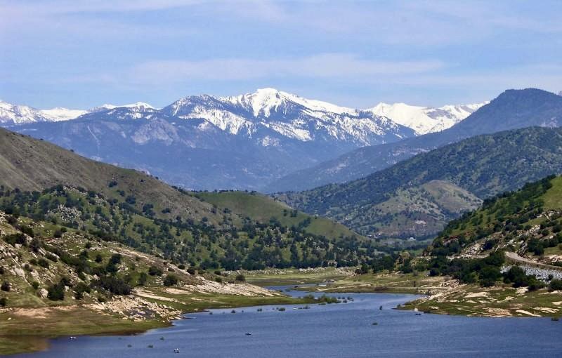
Pine Flat Reservoir
Backroads are our preferred pavé. Santa Fe, various numerical roads in Madera County, Daulton, Friant, Millerton, Auberry, Maxon, Trimmer Springs (Pine Flat Reservoir pictured), Piedra, Elwood, Kings Canyon, Dunlap, Dry Creek, and Sierra are but a few of the names of the interconnected roadways you can see in the Google Map link. Check out the street view option on the map to see more of the terrain.
We arrived at The Hideaway campground in Three Rivers on Sierra Drive which just happens to be on the Kaweah River; the Kern and Tule rivers nearby. Pete has become the master selfie photographer. The pic does give you an idea of what an 864± pound Versys touring outfit looks like. I requested that he take a picture of the campsite, me, and my rig. Pete decided to improve the empty campsite photo with one of his mug in focus, in the foreground…
We had set up camp after nearly 8 hours of undulating foothill and mountain twisties in a nearly empty campground. There was a large canvas teepee with a wood stove chimney billowing smoke, a large brush pile, and us–our two tents and two chairs. As we were making our way to the Totem for dinner and to procure campsite provisions for the night, an SUV with a roof tent showed up. We don’t mind neighbors.
Loves us our Totem
Pete had his buuurrrgggerrrr alotment for the trip and I enjoyed the first of two BLT’s. The Totem isn’t fancy but the food is scratch made with good ingredients and the bar is well stocked with a variety of craft beers and wines. As with most eateries near a National Park, there were the typical mementoes, camping supplies, bundles of wood, and tire chains for sale.
All of the patrons were decked out in the latest winter outdoor fashion as we sat somewhat awkwardly adorned in our motorcycle gear. You know what they say about ATGATT (all the gear, all the time).
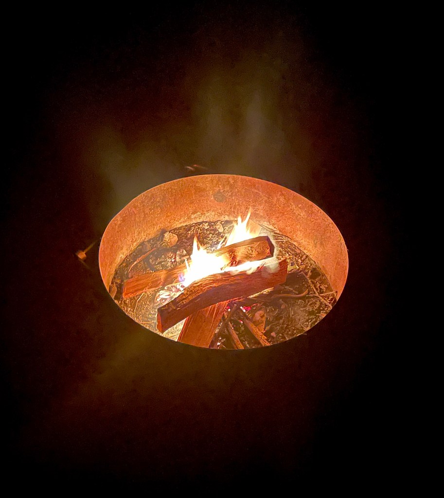
A Smokey Bear approved fire
It was now dark and we returned to our campsite to enjoy the “3-R’s” with a cozy fire. We managed to take up 5 campsites along a shaded rockwall figuring no one would show up this late in the day, but low and behold, a family van circumnavigated the campsites settling on one along a fenceline that wasn’t ideal, however, we weren’t going to cede the campfire that we had set safely away from our tents.
The family consisted of two parents and two kids. Dad set up a family sized tent as mom presumably prepared the evening meal as the kids frolicked in the dark twirling their lanterns and giggling. I started feeling guilty, understanding this expanded meaning of myself for selfishly taking up so many sites, but, since the kids seemed to be having fun, Pete and I decided that our colonization of The Hideaway was meant to be. And like that our guilt transformed to pride.
Too cold for my nalgas
The next morning we met some of our campsite neighbors. One fellow from where the RV’s were parked above us who made his way up from the river showed interest in our bikes and revealed that he too rode a touring motorcycle, a KTM 850 Adventure R. I noted how cold it was and he said that he and his wife, their 6 month old, and 2 year old had been touring the western US on a 45 day tour leaving their home in Montreal as temperatures dropped to sub-zero. I noted that the morning’s 30 degrees in Three Rivers must have been like a day at the beach and he quipped, “Hey, I’ve already been for a swim in the river.”
He had that, “Ya know, I’d love to be on my moto touring, but it’s garaged for half of the year because of the weather…” longing in his voice and eyes. I acknowledged that what he was doing with his family was far more remarkable than anything two retired silverback dirtbags were doing to pass time, thus achieving higher good points for the day.
As we had stalled until the sun had risen enough to dry our tents, I made coffee and we packed the other gear. The family van Dad stopped by, giving me the opportunity to apologize for having monopolized ¼ of the campground. He dismissed my guilt by noting that they had a wonderful evening and were looking forward to visiting the snowbound Sequoia National Park and the Giant Forest Sequoia Grove. With that we bade our neighbors safe travels and set about on Day 2 of our Desert Pilgrimage, 2x higher good points in the bank, and I managed a tumble free Flexlite night, cha ching!
Stay tuned… up next, Day 2: Three Rivers to Panamint Springs and Death Valley.
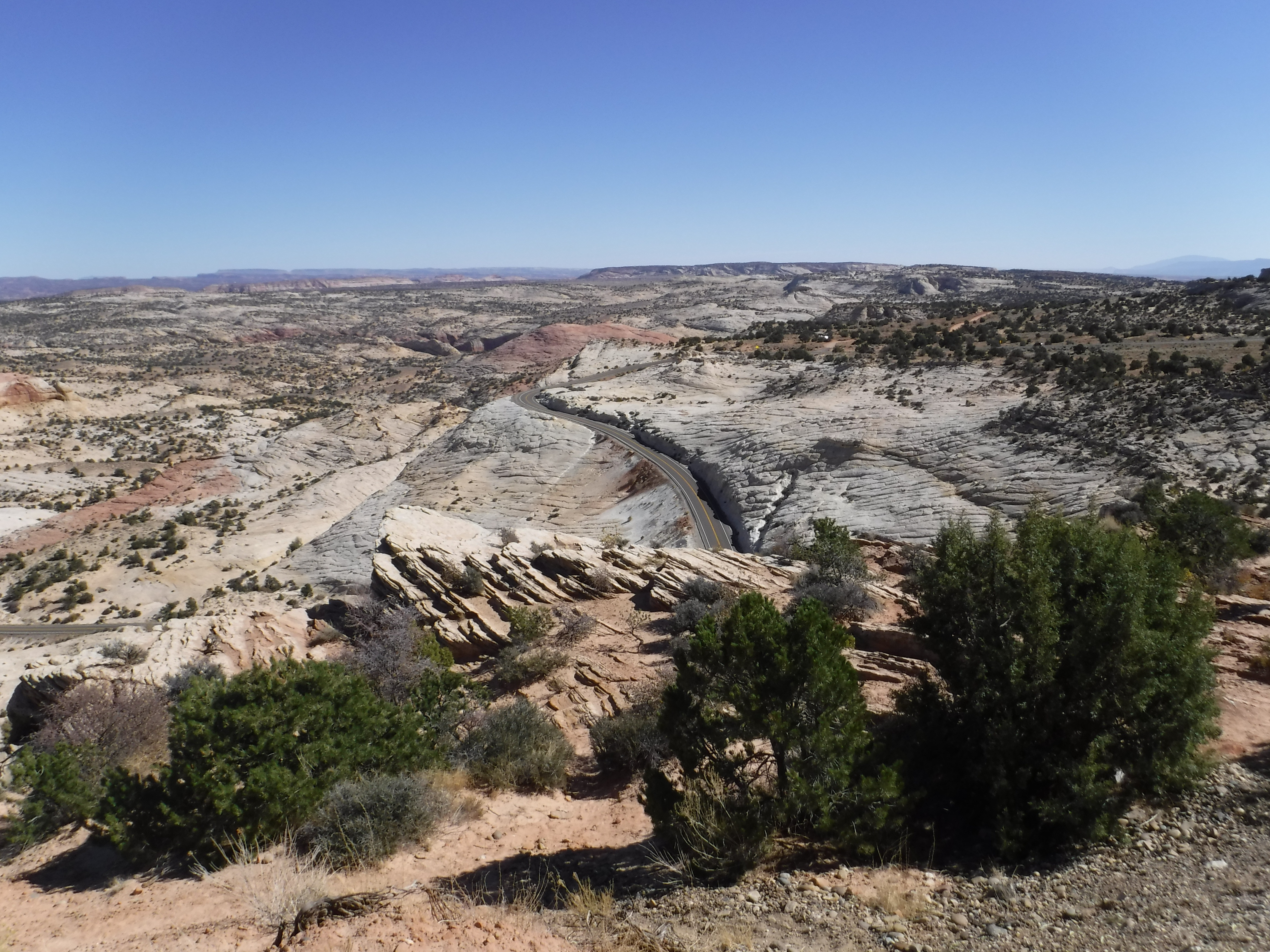
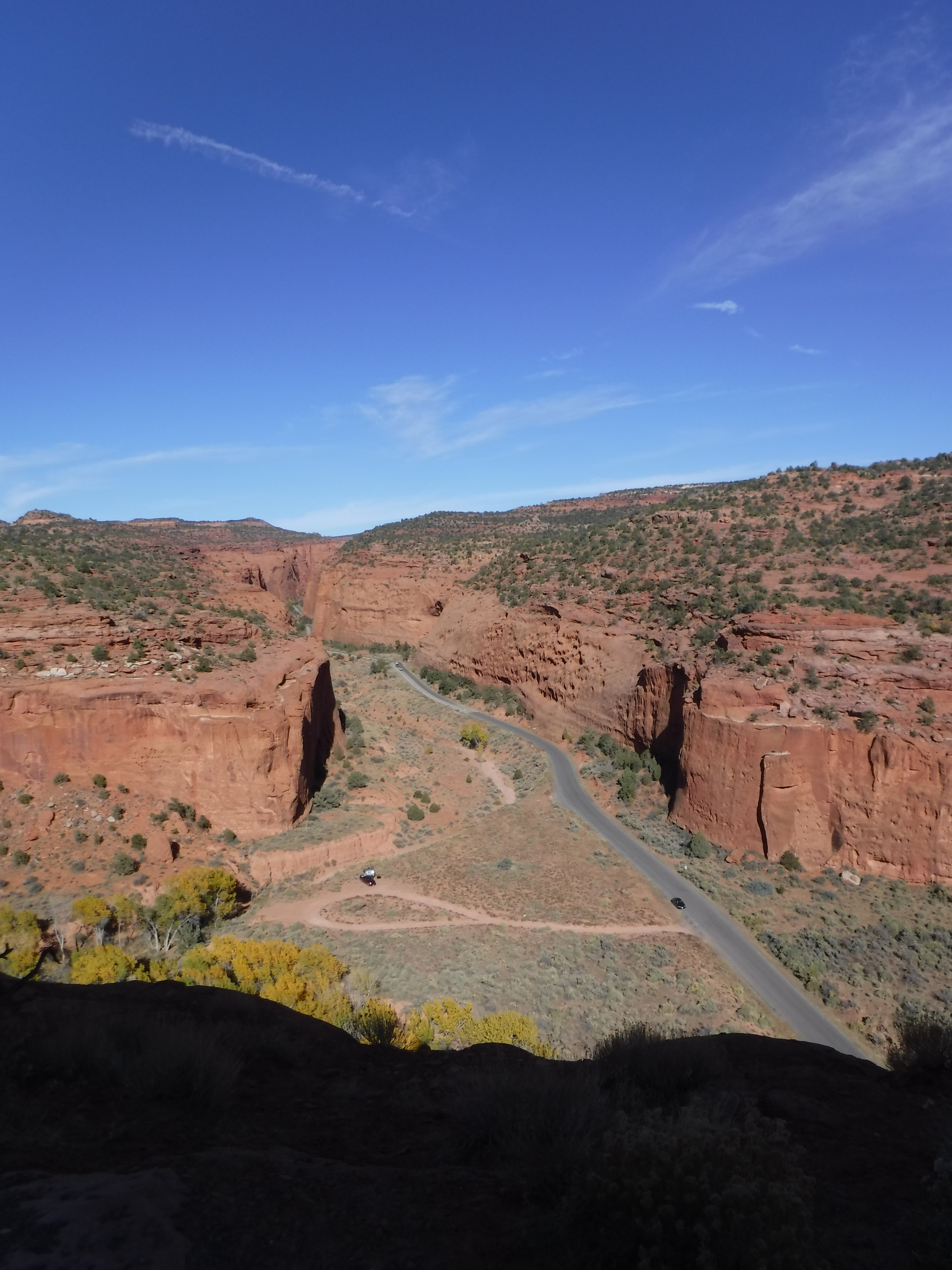
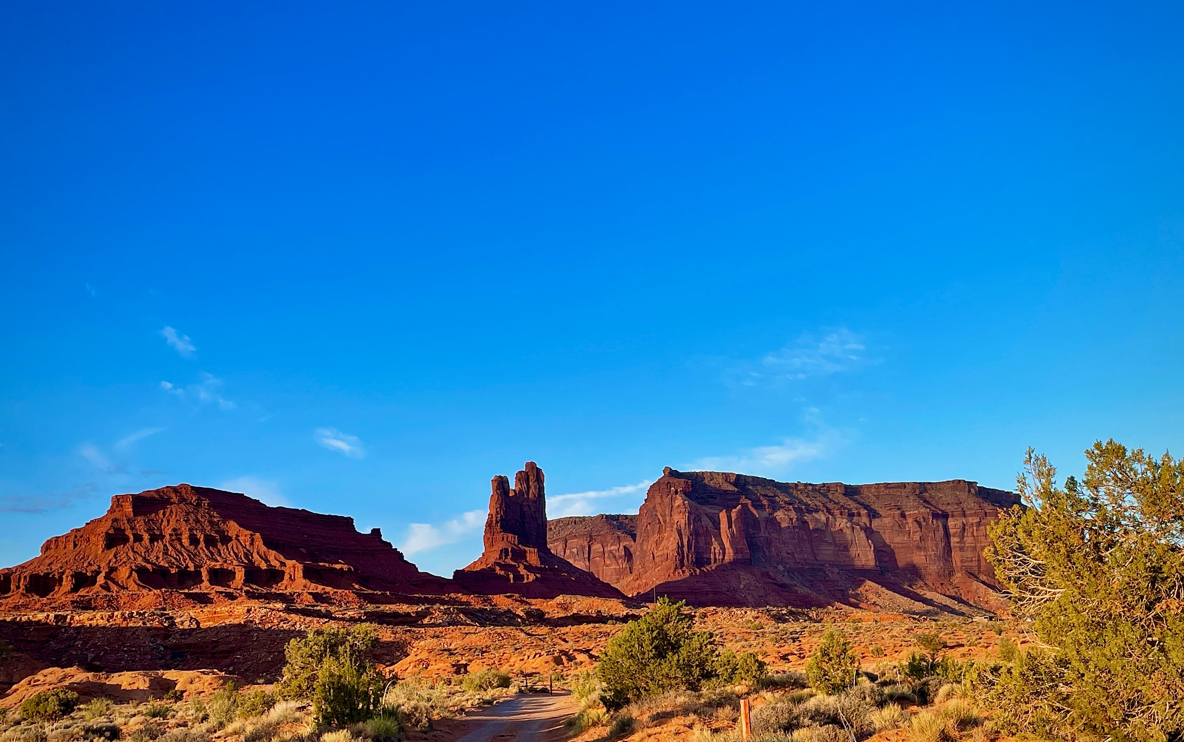
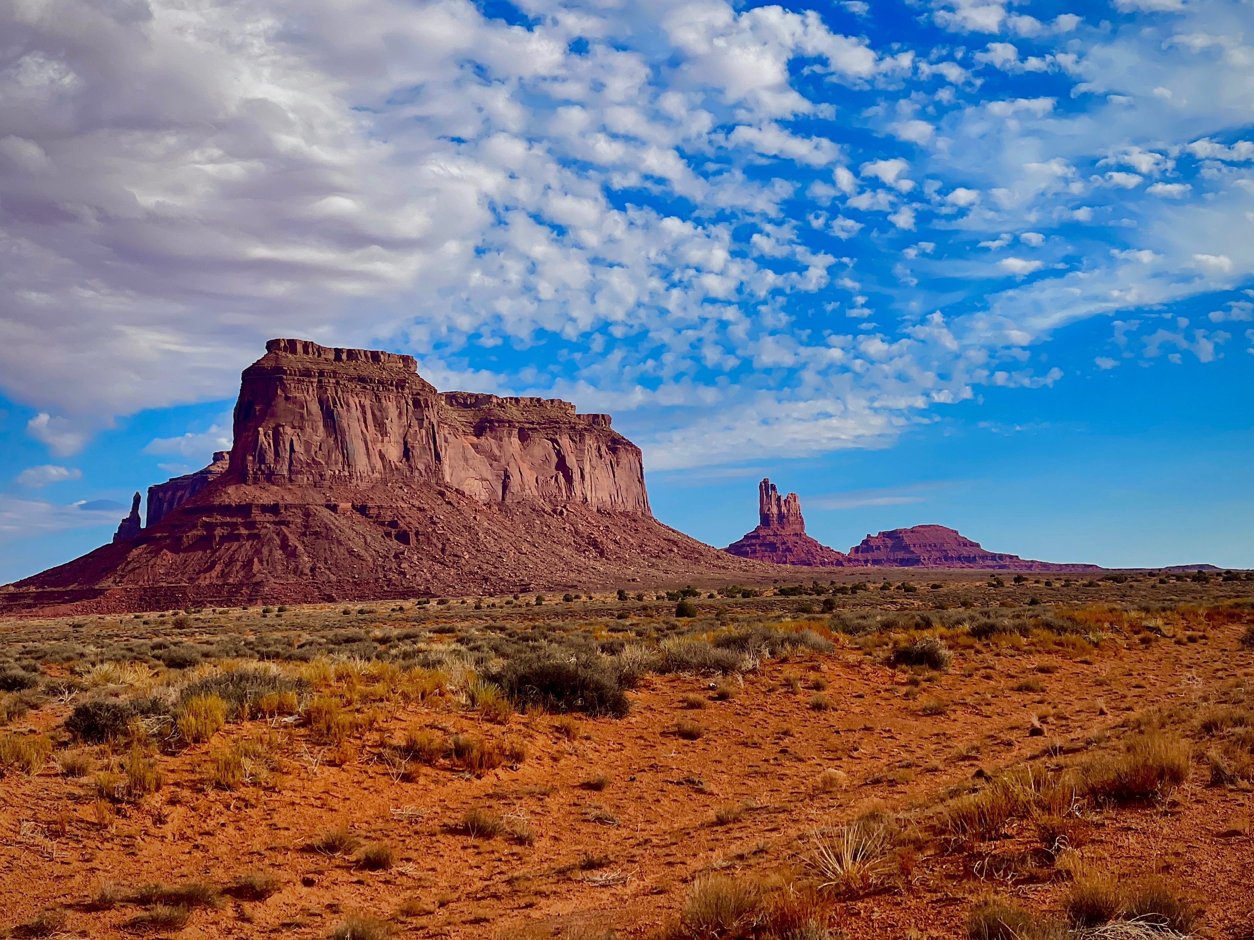
The canyon country of southern Utah and northern Arizona-the Colorado Plateau-is something special. Something strange, marvelous, full of wonders. As far as I know there is no other region on earth much like it, or even remotely like it. Nowhere else have we had this lucky combination of vast sedimentary rock formations exposed to a desert climate, a great plateau carved by major rivers-the Green, the San Juan, the Colorado-into such a surreal land of form and color. Edward Abbey, A Voice in the Wilderness
Now, if you want to see how Pete and I express our appreciation for Abbey’s vision, read on!
Day 6, Santa Fe to Monument Valley
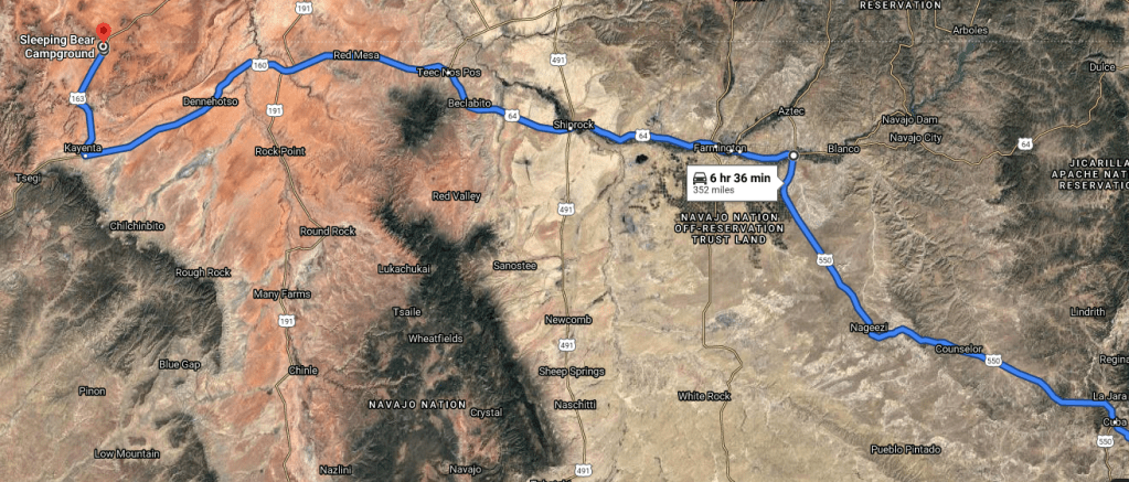
Santa Fe to Mexican Hat~324 miles via Los Alamos and the Valles Caldera National Reserve and Shiprock
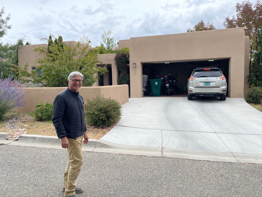
After our destination layover with the Delawares, enjoying their warm hospitality in the comfort of their jazzy Santa Fe digs, Suzanne’s wonderful repast and conviviality, Bob’s generous tour of the surrounding landscapes and quaint New Mexican towns along the High Road to Taos, it was time to twist the throttle.
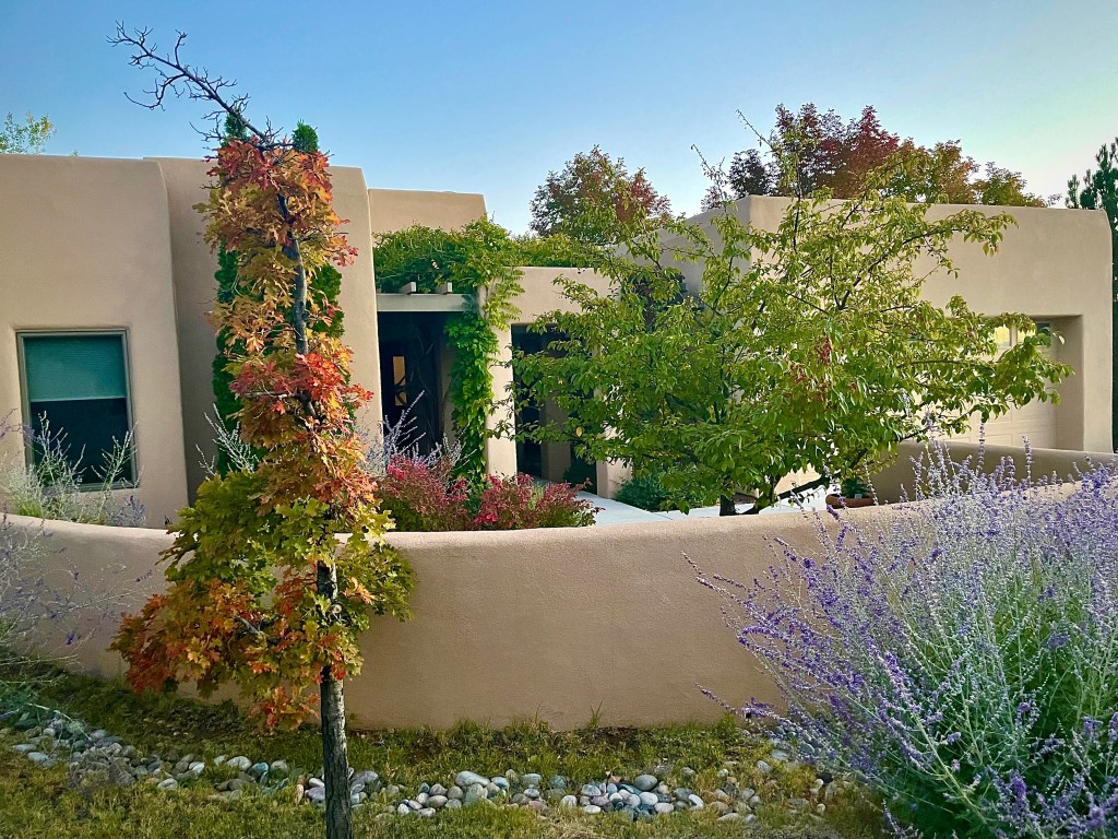
Casa de los Delaware
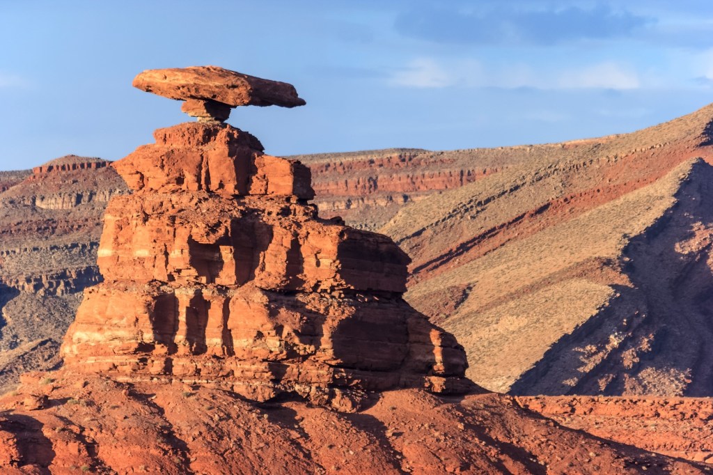
Originally we had planned to spend the night in Mexican Hat, a small town in Utah on the San Juan River on the northern edge of the Navajo Nation’s borders on our first night of the return leg. This curiously named town draws its moniker from a rock formation that, from some angles, resembles a sombrero, or a “Mexican Hat” if Messrs. Barber’s and Osborn’s high school Spanish serves me.
Mexican Hat Rock, Utah…
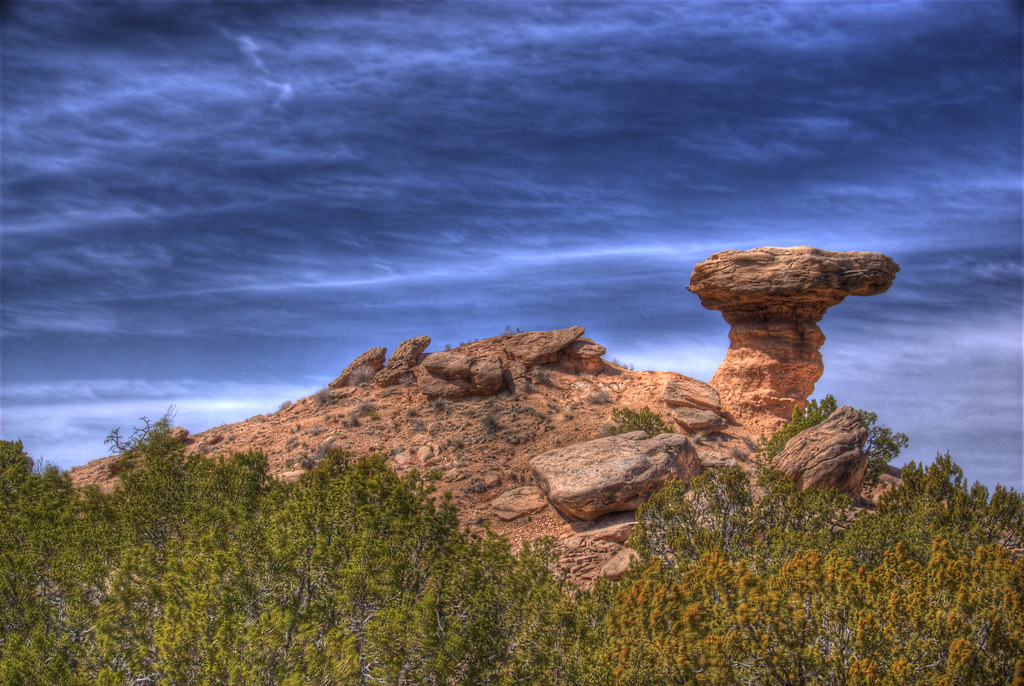
Camel Rock, Tesuque New Mexico…
Apparently New Mexico and Utah have competing features of terrain. Decide for yourself if the names given are befitting.
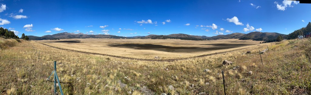
Having departed from the itinerary, that I had toiled over for weeks prior to launching, largely due to weather I didn’t hesitate to again depart for the road less traveled. We had ridden past the Ghost Ranch through Abiquiu from Chama a few days earlier. It wasn’t weather but our desire to camp that compelled this detour from Mexican Hat. So it was off to Monument Valley through the Valles Caldera National Reserve by way of Los Alamos, Gallena, Cuba, Nageezi, Bloomfield and Farmington where the Mormon influences bump up against the Spanish and Navajo influences at least as far as place names are concerned.
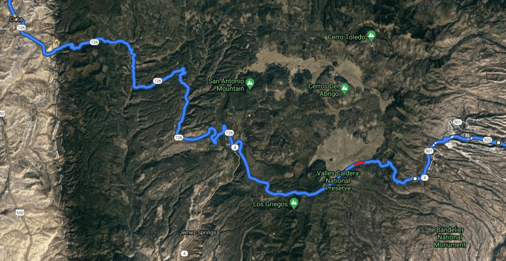
Following some confusion in Los Alamos at the site of Project Y, a top secret atomic weapons laboratory, about how to proceed through the National Laboratory to get to get to NM-4, we were granted permission to pass through the facility by a fine young soldier at entrance to the Lab. He had noted our confusion as we rode past what was the entrance to the Weapons Lab. It’s amazing how the engineers were able to camouflage the public road as the entrance to a top secret lab. We were told not to stop or take any photos until we reached the narrow twisting two lane road that quickly ascended to the Caldera. Aye, aye!
A few curves to make for interesting riding considering the long straightaways that would be featured in the afternoon. Note that Los Alamos is not named on this Google Map. I’m sure none of our adversaries would be able to figure out the location of our nation’s nuclear weapons laboratory. Ooops, I just gave it away…
Valles Caldera is a 13.7-mile wide volcanic caldera in the Jemez Mountains of northern New Mexico. Hot springs, streams, fumaroles, natural gas seeps and volcanic domes dot the caldera floor landscape.
Yep, that’s snow we’re headed toward
Not many curves for the afternoon
Dinner in Farmington before entering the Monuments
Following dinner at Los Hermanitos in Farmington, we scrambled along the San Juan River past perhaps one of the most photographed ancient volcanic plugs on the planet, Shiprock., even photographed from space.
Shiprock, a stunning rock formation in New Mexico, stands out even from space. This image was taken April 12, 2017, by an instrument aboard NASA’s Landsat 8 satellite. (Image credit: NASA Earth Observatory)
Shiprock from US-64
Shiprock is on Navajo Nation land and is known as Tse Bit’a’i, or “winged rock” in Navajo, according to the New Mexico Bureau of Geology and Mineral Resources. Legend holds that the rock was Earth that became a bird and carried the Navajo people to the desert on its back, settling down and turning to stone again after the journey. Navajo tradition holds that people should not climb or disturb the rocks, so they have been closed to recreation since the 1970s.
Geologically, Shiprock originated from a volcanic eruption about 30 million years ago, according to the Bureau of Geology and Mineral Resources. At the time, the rocks were up to 3,280 feet (1,000 m) below the ground and formed the “neck” of a region of volcanic rocks that has otherwise eroded away. The formation is made from a potassium-rich magma called “minette,” according to the bureau, and is heavily fractured into a type of angular fragmented rock called breccia. While the surrounding rock has eroded away, Shiprock and some of its accompanying lava dikes remain as seen to the left of the towering Shiprock
Continuing on US-64 to Teec Nos Pos where we then joined US-160/191 past Four Corners and Red Mesa, we then turned north on US-163 in Kayenta in search of camping in Monument Valley.
The Navajo Nation Reservation is over 25,000 miles and covers over four states: New Mexico, Utah, Colorado, and Arizona
Geologically, Monument Valley is a combination of rock layers formed during the Permian and Triassic Periods several hundred million years ago that have been subjected to differential erosion (by which hard rocks erode more slowly than soft rocks). The results can be quite complex and stunningly beautiful.
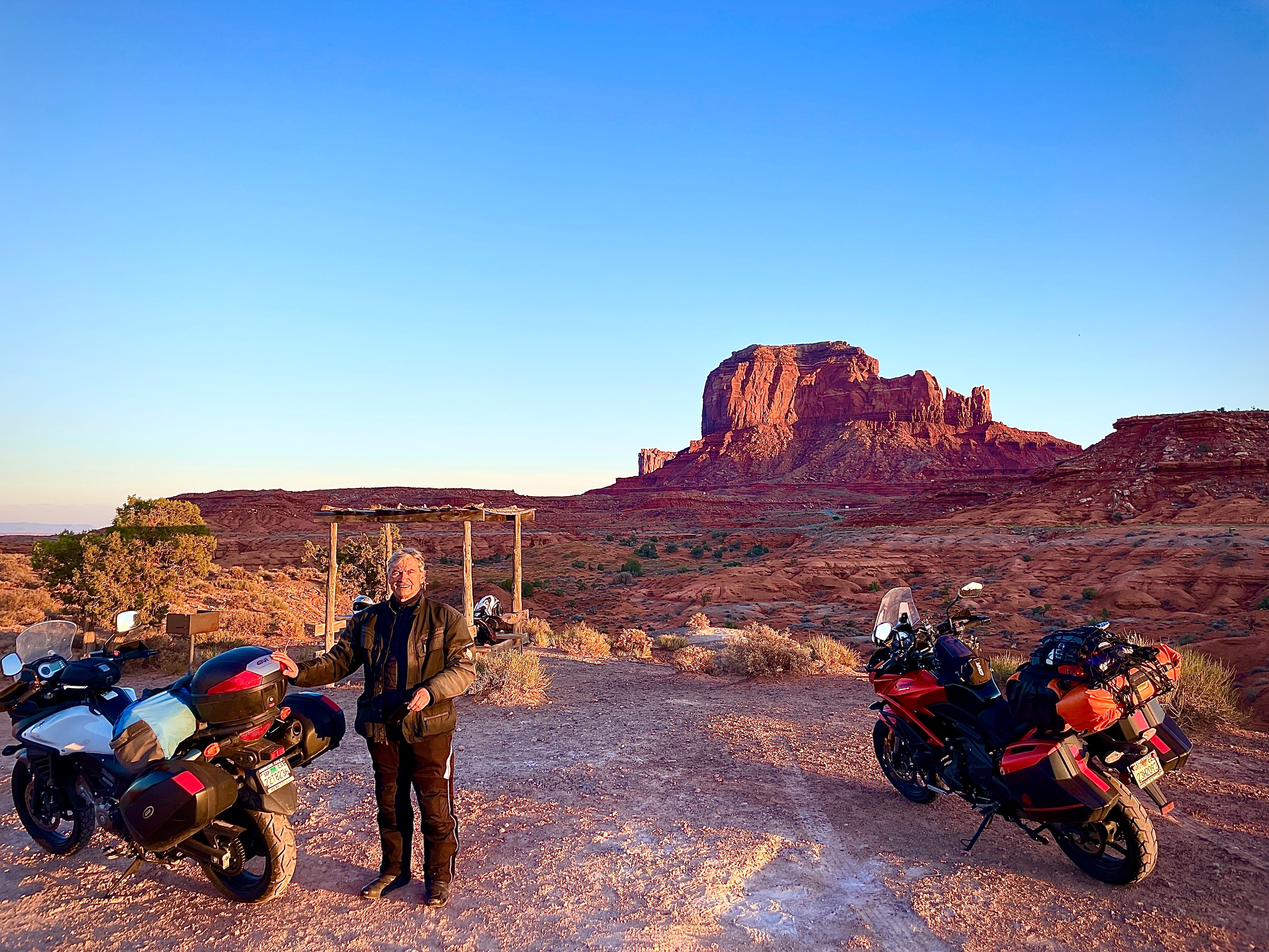
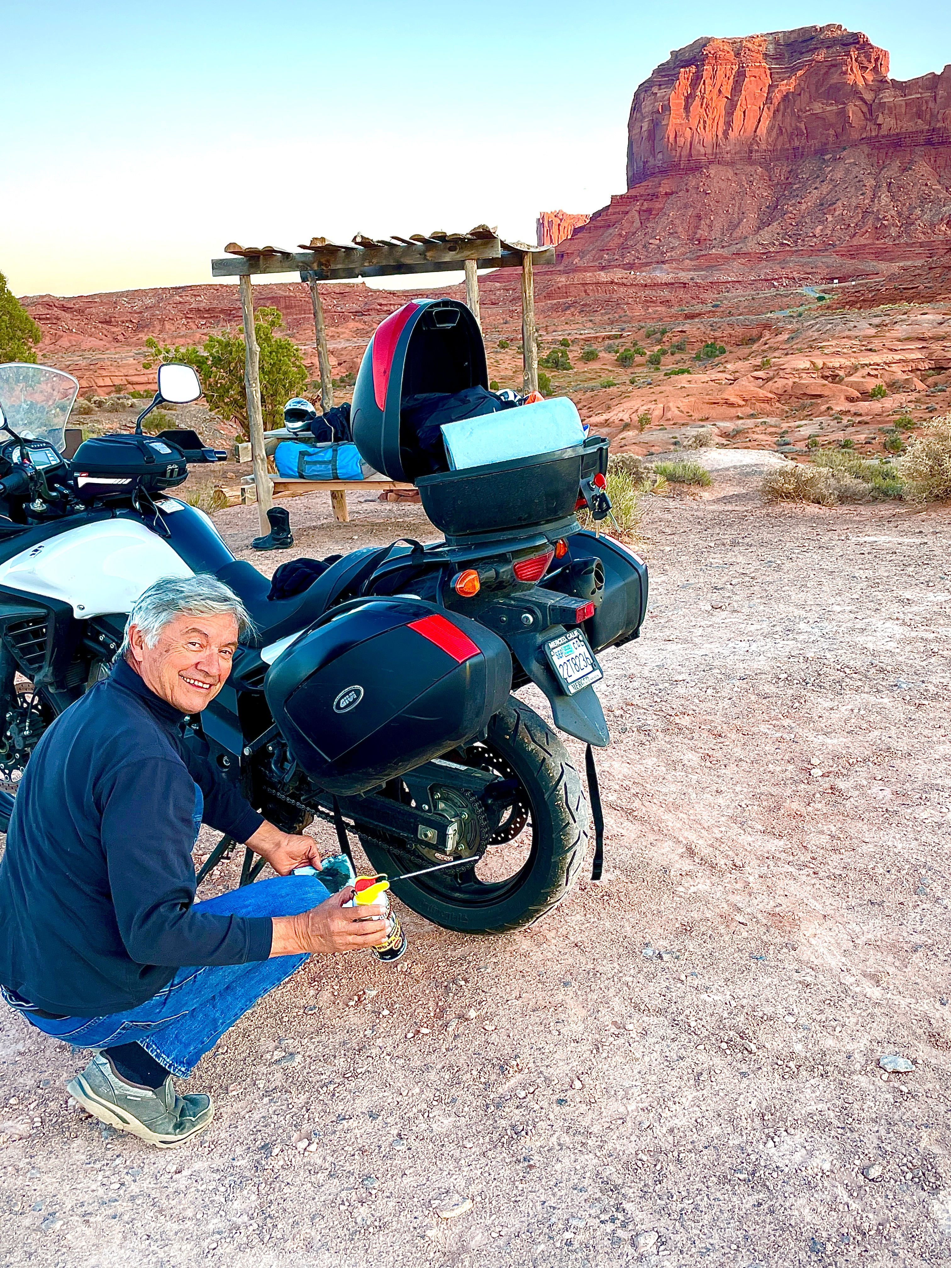
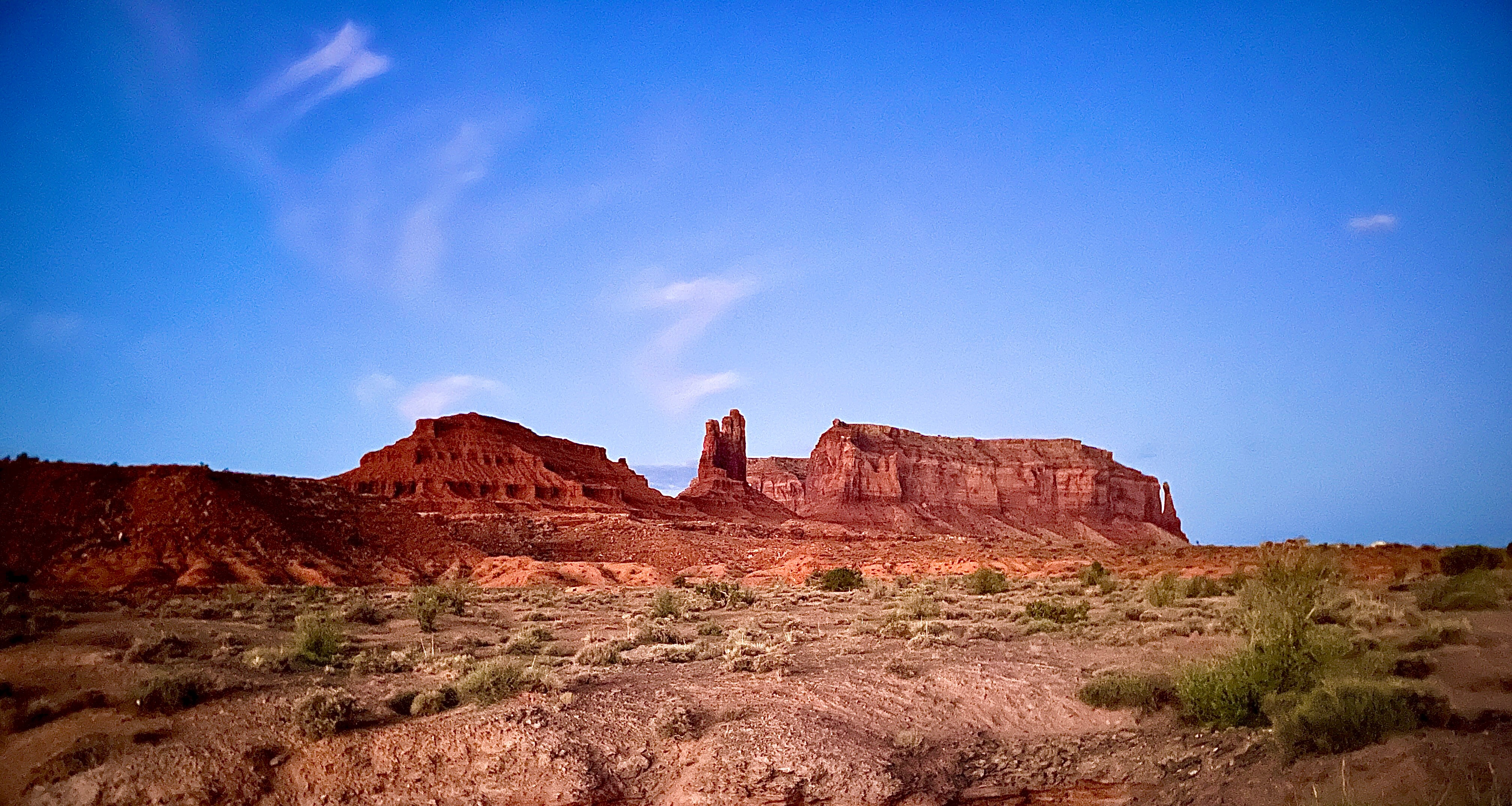
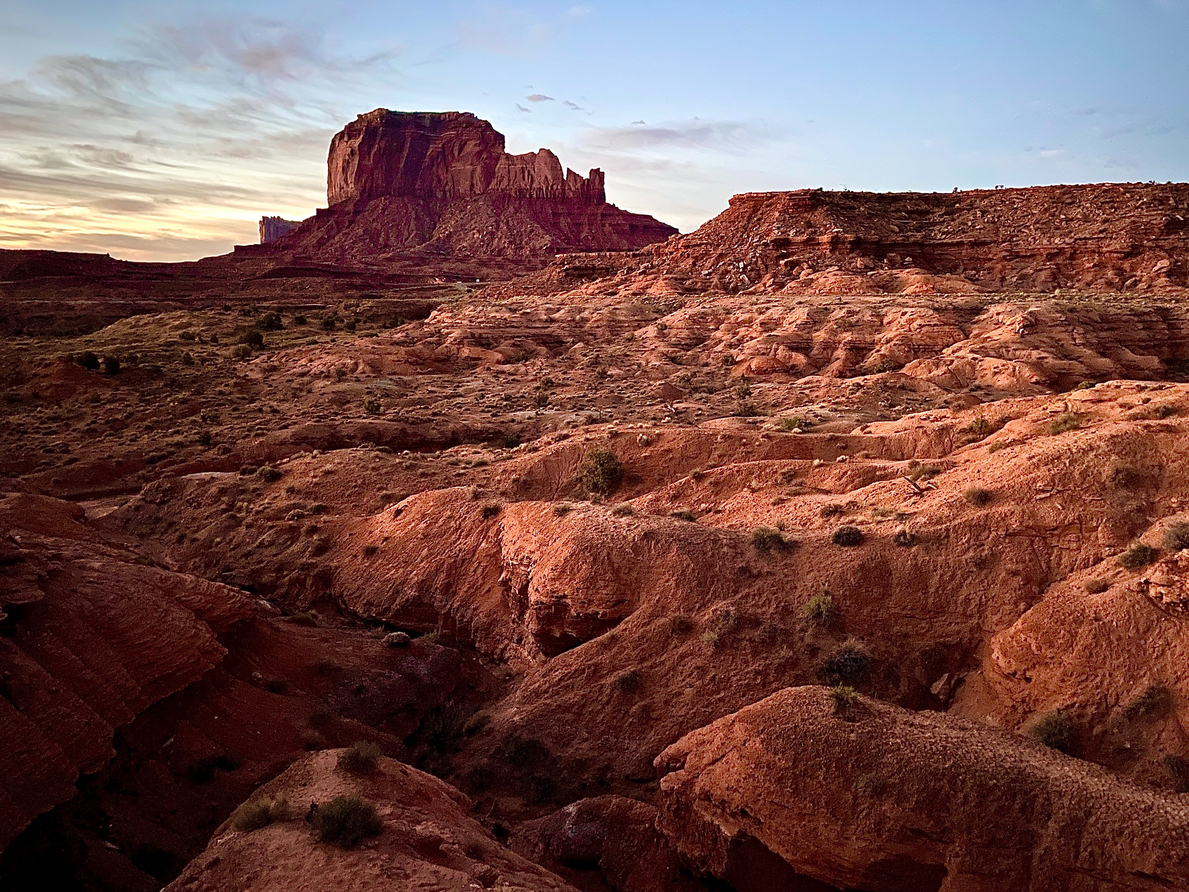
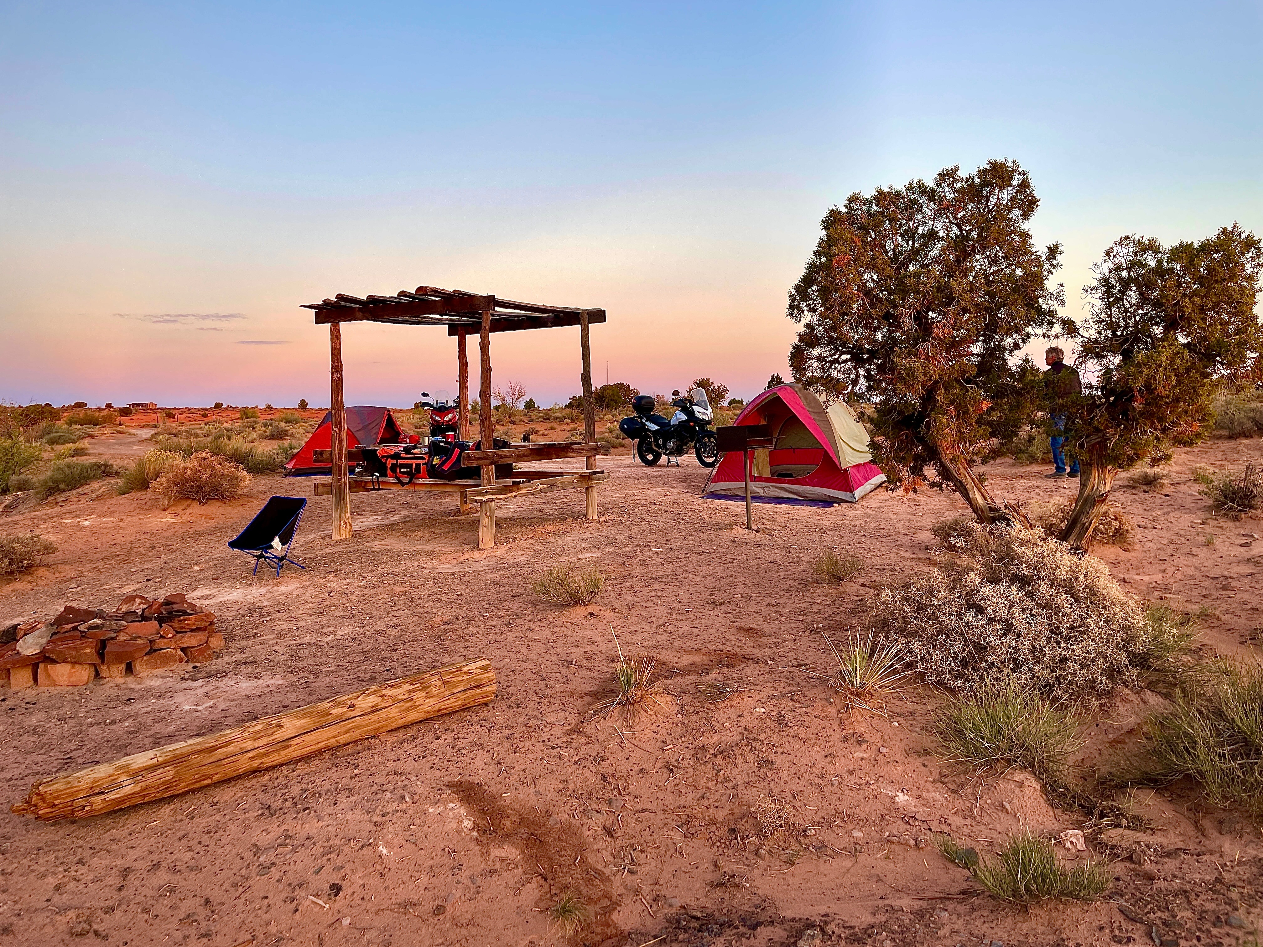
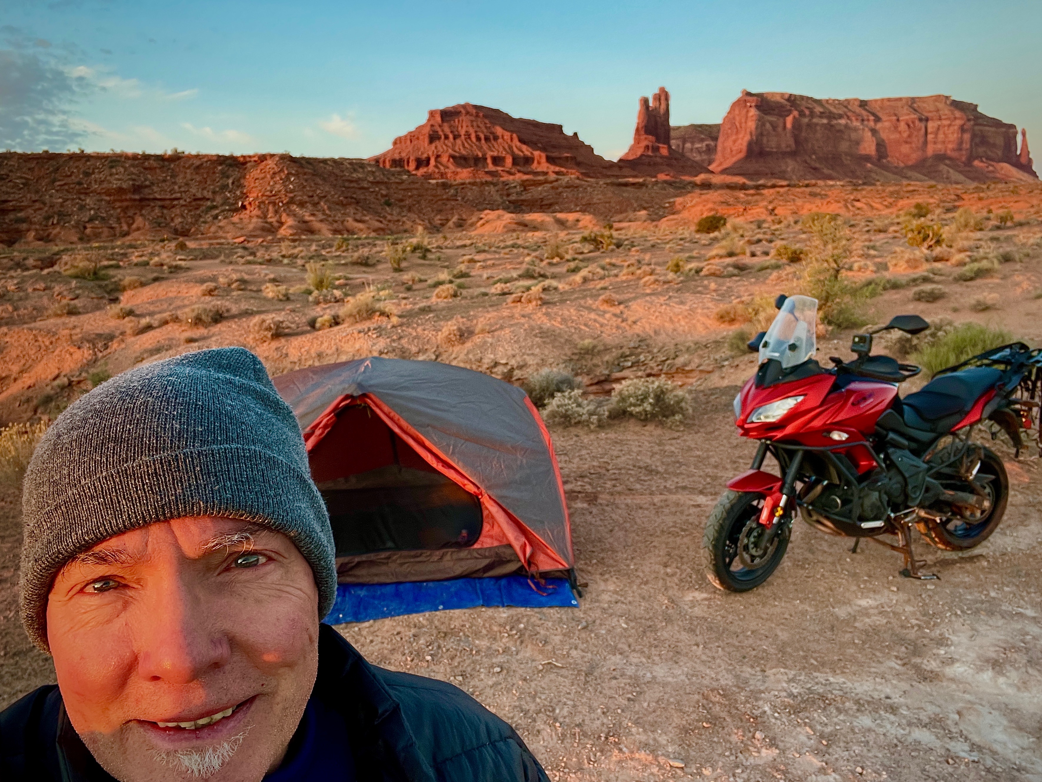
We arrived at the Navajo Nation Monuments in late afternoon. Fortunately the first three campsites we encountered were either full or closed. On a whim, I decided to turn onto Mitchell Butte Rd. where suddenly and serendipitously appeared the Sleeping Bear Campground.
Lucky us
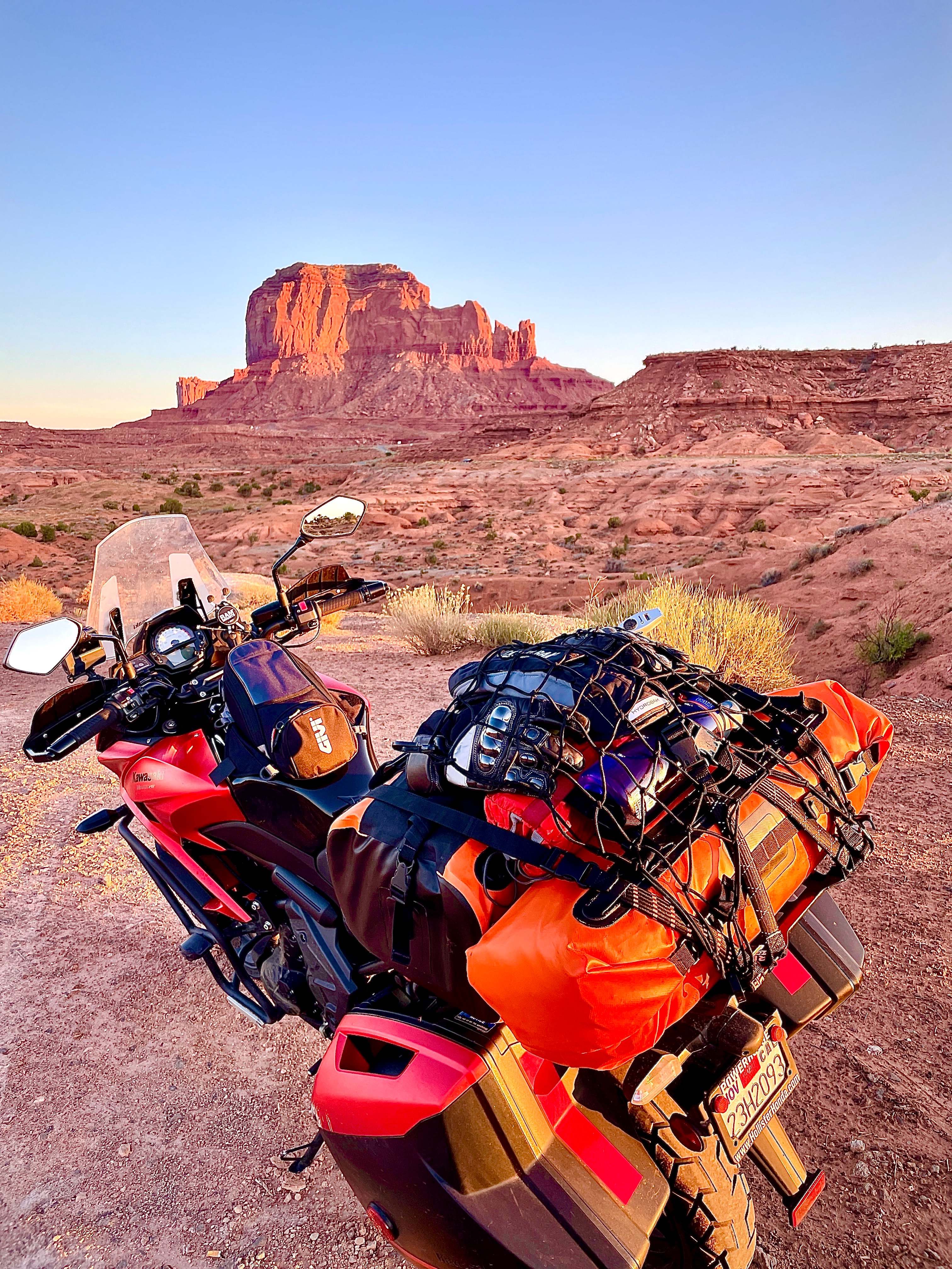
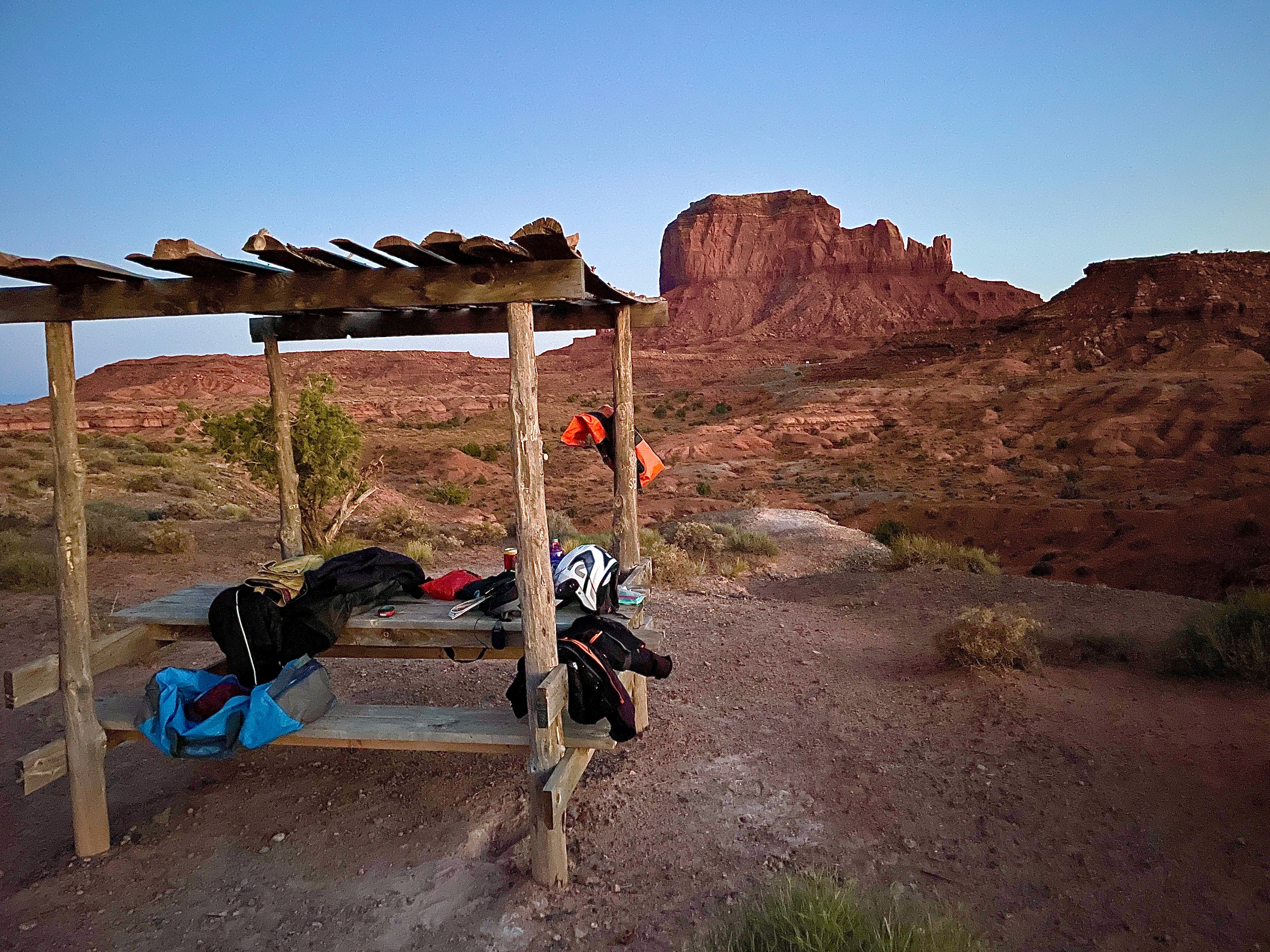
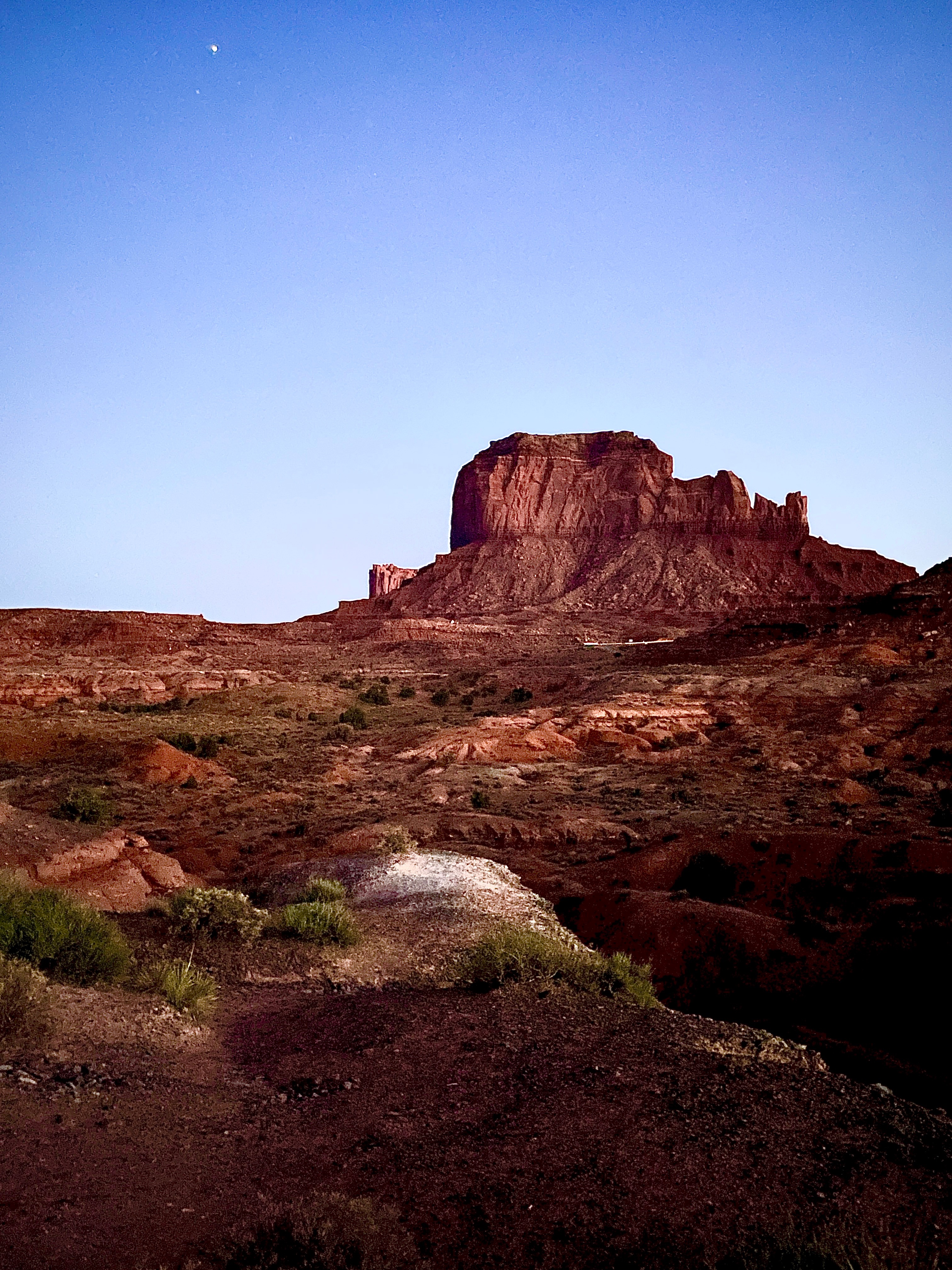
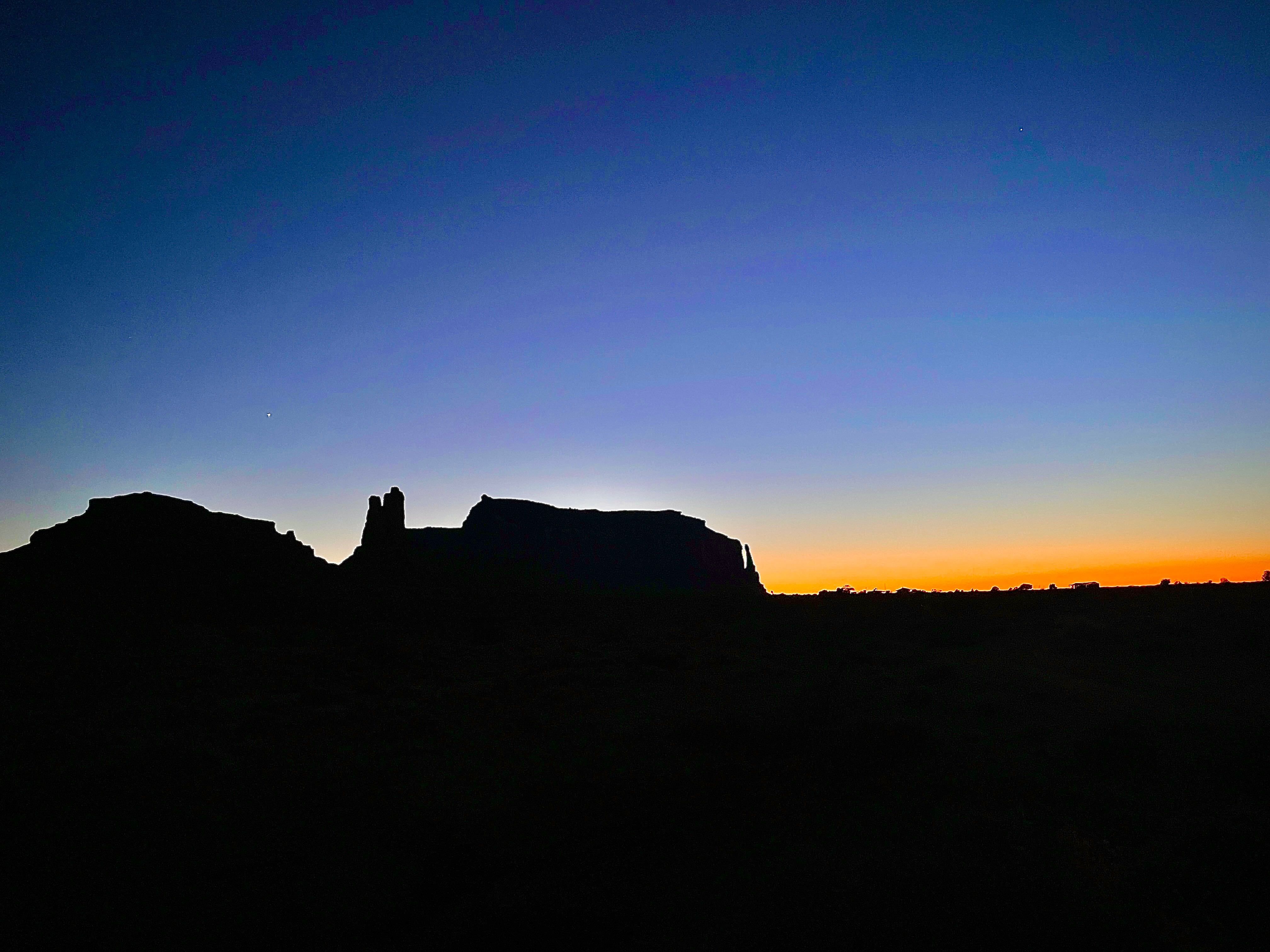
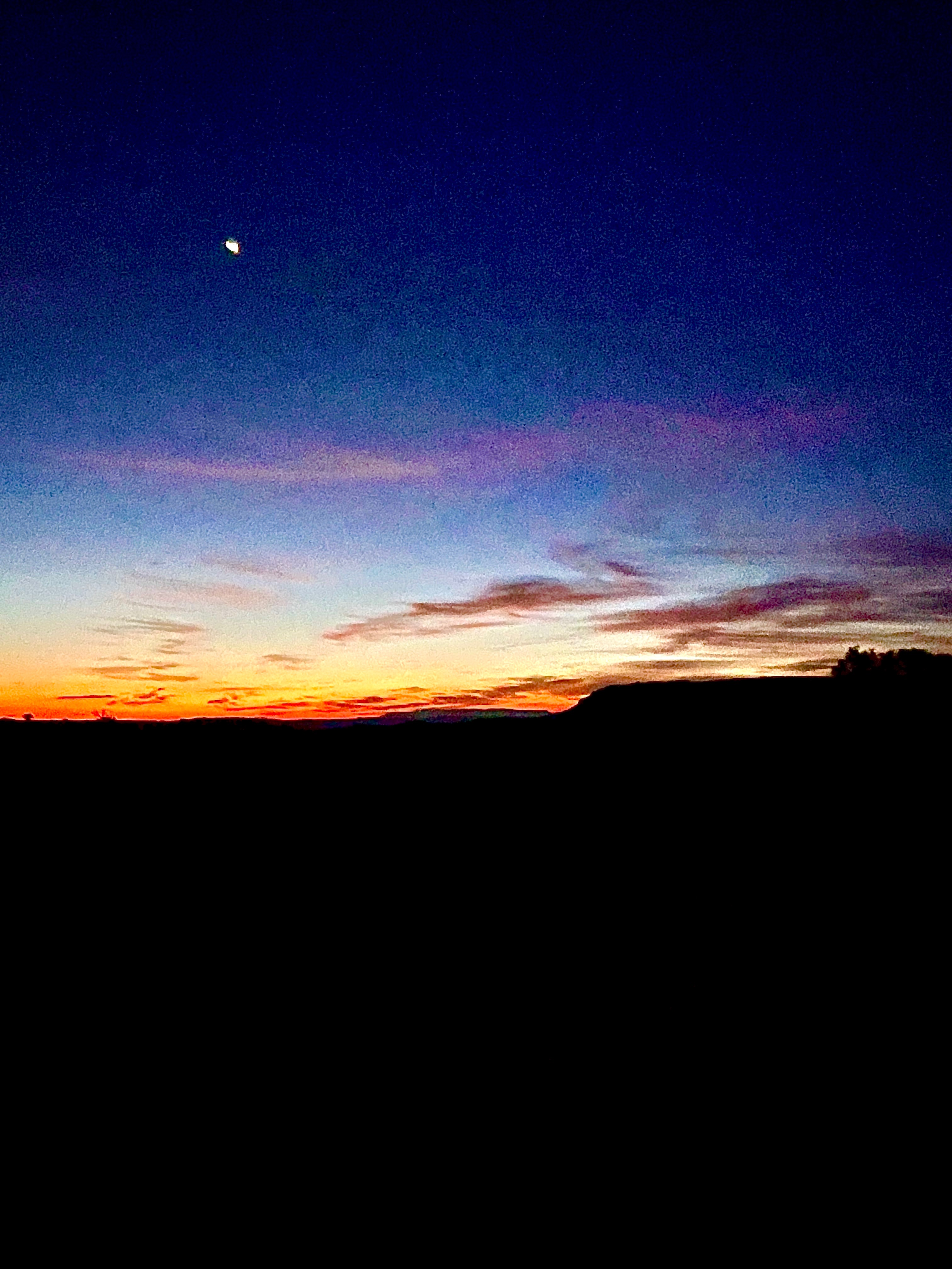
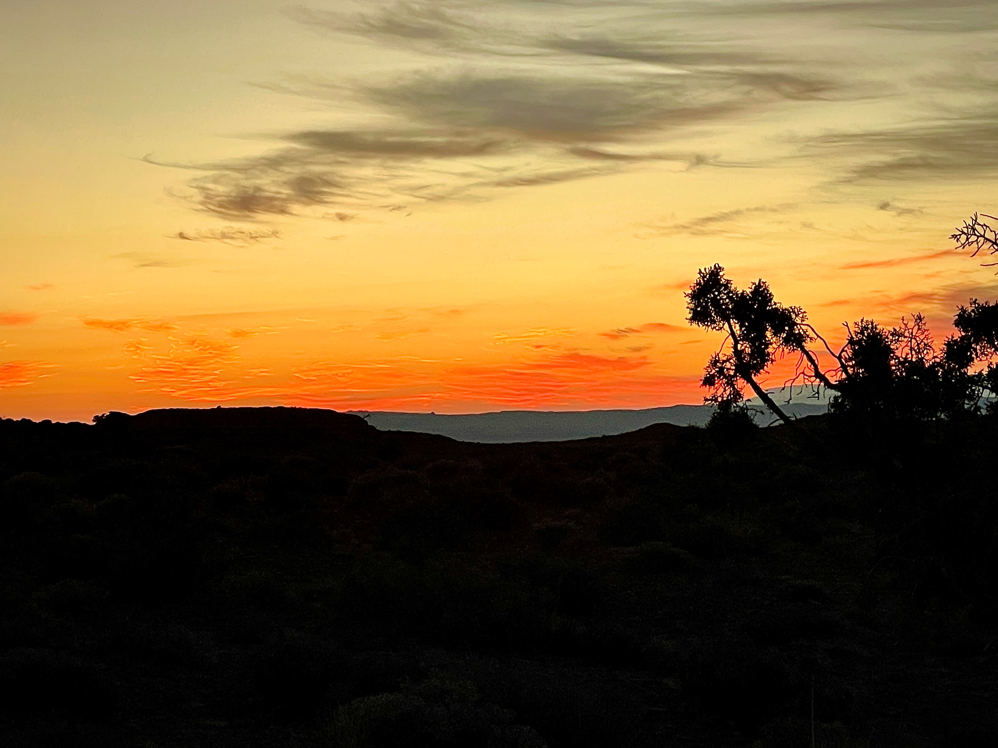
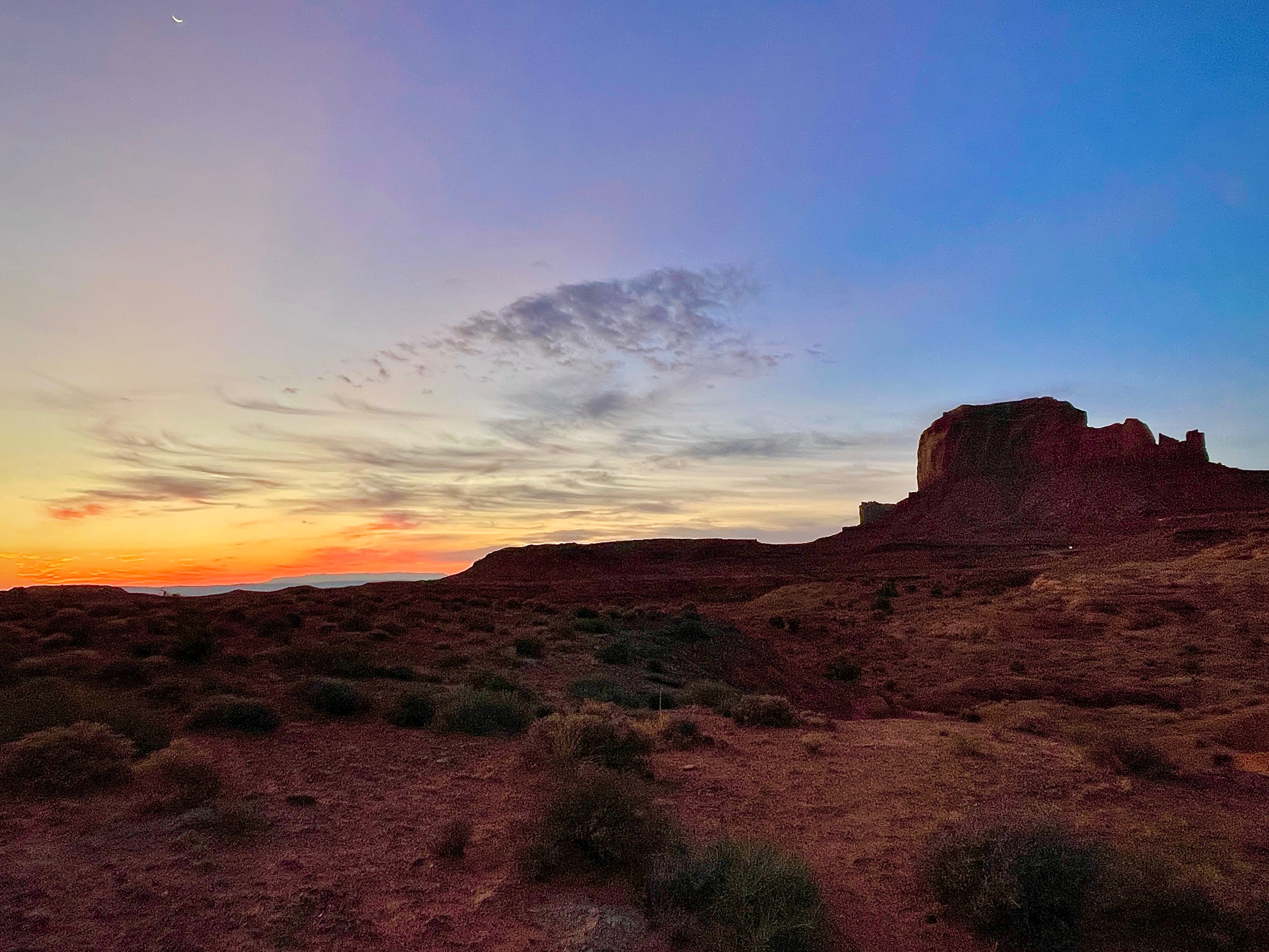
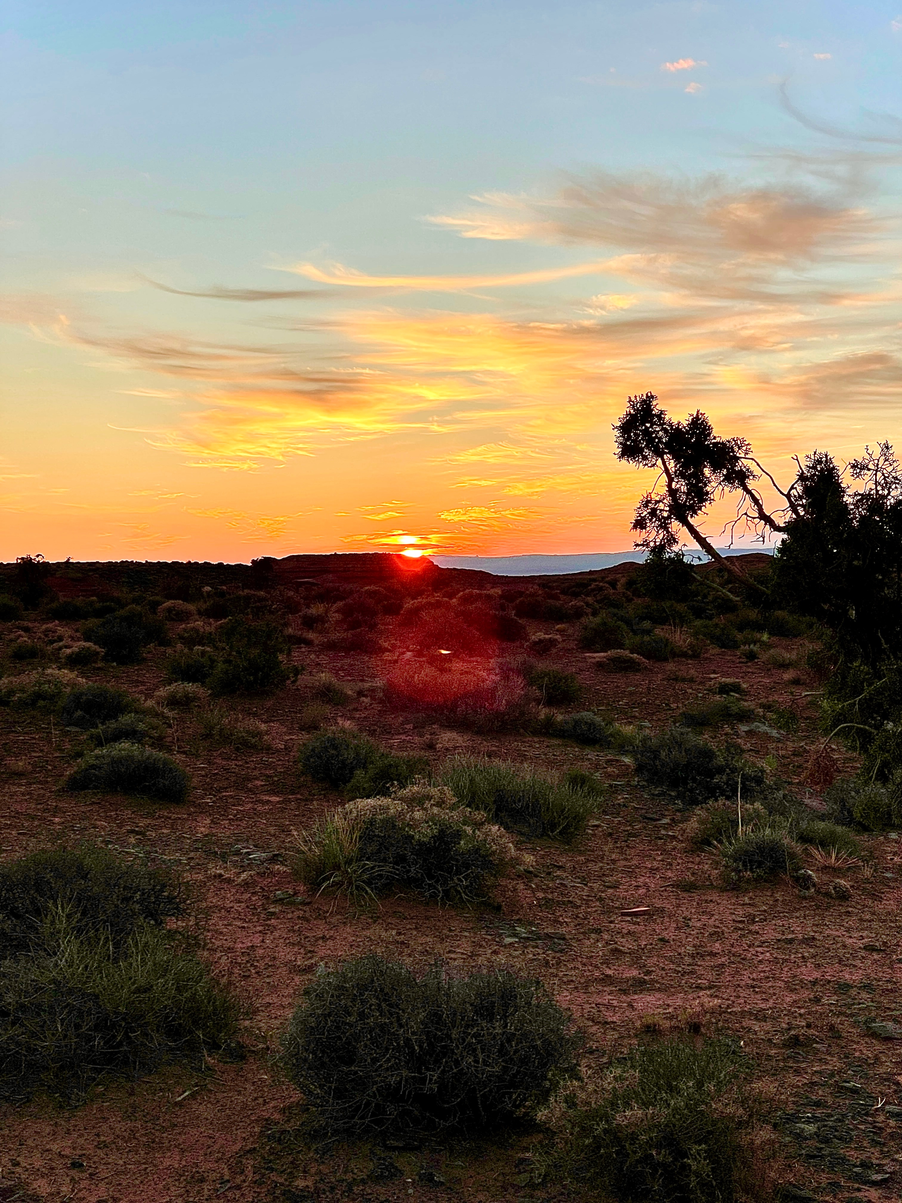
The relaxation, rehydration, and reflection hour was composed of a sublime sunset. The star filled nightfall that followed gave way to an equally striking sunrise.
Day 7, Monument Valley to the North Rim of the Grand Canyon
The alpenglow of sunrise yielded to the cerulean skies of the morning. A relatively modest 245 mile day lay ahead giving us time to find a campsite and take in a few view ropes of the Grand Canyon from the North Rim.
Back on US-163 to US-160 we intended to take AZ-98 to Page and check out how puny Lake Powell had become. But we missed the interchange and ended up continuing on US-160 through Tuba City where we took the two lane US-89 north on freshly oiled two lane roads with no markings and passing lanes about every 5 miles through Willow Springs and Bitter Springs to Marble Canyon. Something about freshly oiled roads with intermittent passing lanes that increases the pucker factor by 2x when on a moto.
Upriver from Marble Canyon is the Glen Canyon Dam behind which is Lake Powell. When considering inclement weather enroute to Santa Fe from Chama on our planned route, we gave consideration to using the ferry at Halls Crossing near Bullfrog to avert the rain, at least according to NOAA radar. However, since the lake level was so low that along with several other launches, the ferry wasn’t operating. Not an option.
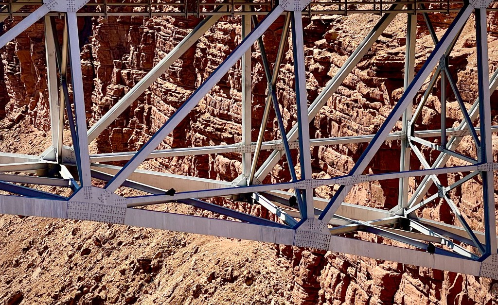
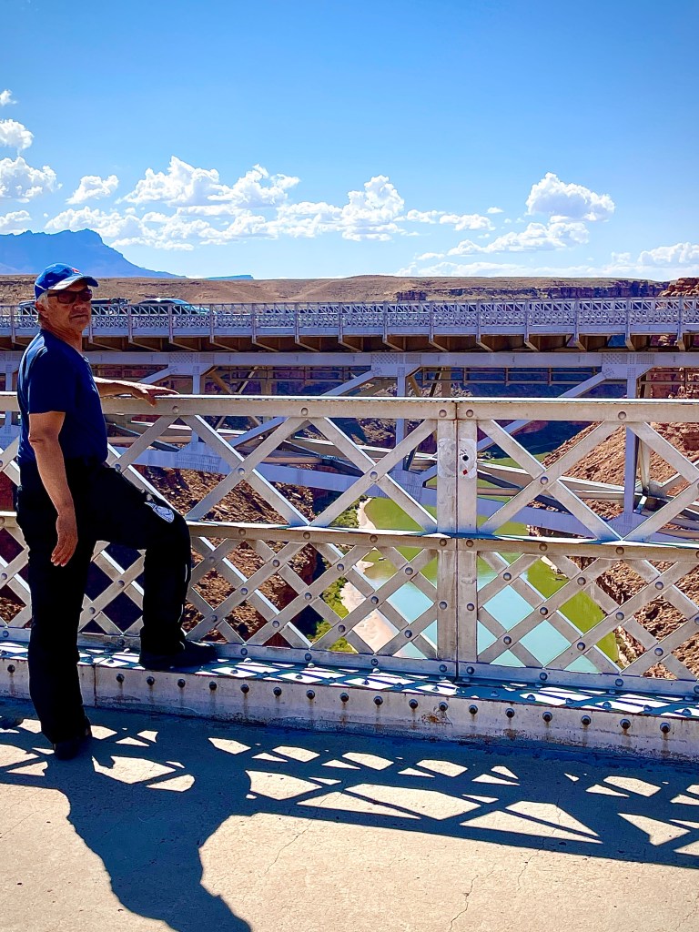
Top right are two of four condors seeking some shade in the trellis work of the “new” Navajo Bridge. Bottom right are the Vermillion Cliffs along US-89A to Jacob Lake. Presumably the green river water is the effect of low flows and turbidity on the growth of algae.
At Jacob Lake we headed south on the Grand Canyon Highway (AZ-67) over the Kaibab Plateau to the North Rim of the Grand Canyon, but not before securing a campsite at the Demotte Campground.
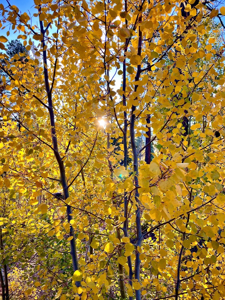
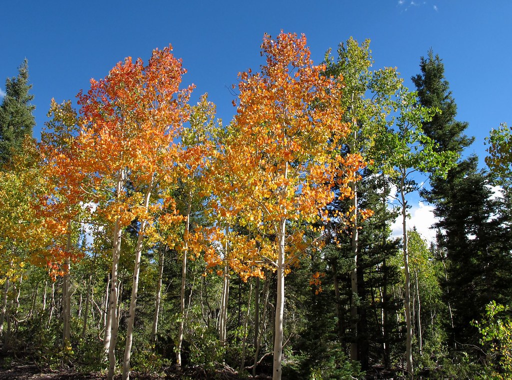
Aspen surrounding the Demotte Campground
Campsite secured, it was off to the North Rim!
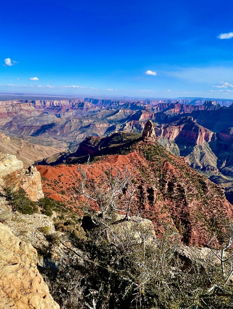
The crowd wasn’t too distracting from the awesomeness of canyon of the Colorado River as appreciated from the North Rim. After what would be our dinner of sammies from the North Rim Deli in the Pines, we made our way back to the Demotte campground.
Relaxation, rehydration, and reflection hour around the campfire. What’s with the googly left eye?
Our cheery and accommodating camp hostess, Darlene, made sure we had a bundle of wood for a campfire as the chill of the evening descended. There were a group of spirited high school kids from The Holbrook Indian School who were camped just above us. We later learned they were hiking the “rim to rim” trail the next day and were intent on securing wood for their campfire from the surrounding forest as the afternoon shadows lengthened and temperatures dropped.
The boys raucously went about breaking large branches with rocks. They didn’t have any tools, in fact they declined a saw offered by a fellow camper, but as we were later informed by one of the boys from the group who offered us their unused timber for our campfire, Pete asked if they camped much. A suppressed chuckle coursed through the group, and one of the lads replied, “We’re Indians, we know all about camping…”
From the Holbrook Indian School website, “Outdoor School is one week of classes that take place in the great outdoors. Every year, the eighth- through 12th-grade students help to plan and coordinate the details of the trip. Each year the students travel to one of five locations that have been selected: Grand Canyon National Park, Zion National Park, Bryce Canyon National Park, the Rocky Mountain National Park, and one city trip to San Diego that includes a day of tidepooling at La Jolla Beach. For many of the students, the trip to San Diego is the first time they’ll get to see the ocean and learn to navigate a big city.”
It brought back many of my most cherished memories from my teaching career when I accompanied students to the Jack L. Boyd Outdoor School at Fish Camp in the Sierra Nevada just south of Yosemite. I hope the lessons of the Miwok material culture still resonate with the kids who were lucky enough to attend.
Nov. 2020 on one of the many Covid Lockdown Rides featured elsewhere on the blog
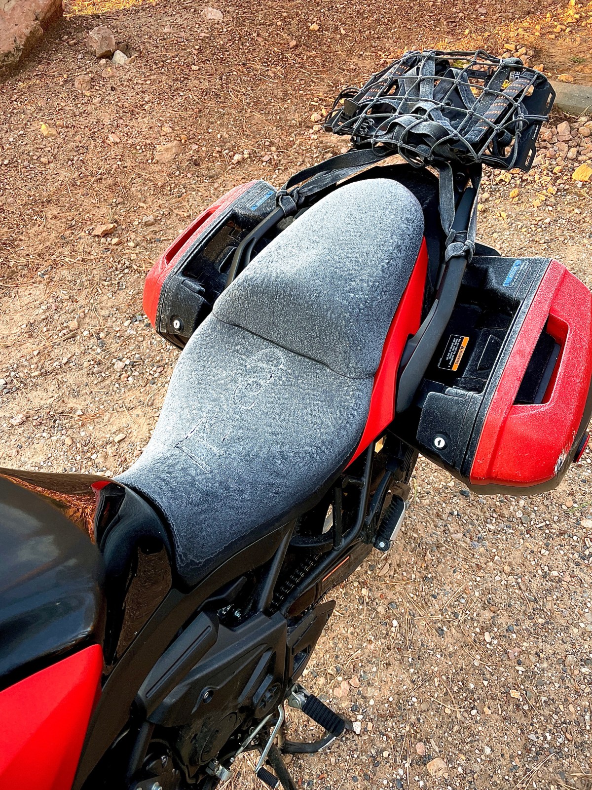
We awakened to a bright clear sunrise as temps had dipped enough through the night to dust our tents and motos with a layer of glistening hoarfrost. A quick coffee powered by the JetBoil to defrost our innards and the low angled light of the sun soon dried the gear.
Jack Frost nipping at our buttocks. The googly right eye seems to have reoriented…
By now adapting the itinerary was the thing. Our choice for today: check out the conga lines at the South Rim of the Grand Canyon or deal with conga lines in Flagstaff. Don’t get me wrong about Flag or the South Rim, they’re both enjoyable stops that given time and inclination offer many opportunities for enlightenment. But we were destined for the desert, Route 66, with more rain on the horizon. Gotta get to gettin’…
We stopped for breakfast at the Jacob Lake Inn where just before ordering a French toast combo, I received a call from my wife about our 12 year old Labrador, Luna. We had been watching her decline as she was reaching the Rainbow Bridge phase of her life. Her ability to walk was compromised to the point that she could no longer stand and a trip to our veterinarian who had cared for her from a puppy, was not available. The vet who consulted with my wife and granddaughter about Luna’s fate only added to my remorse for leaving on this fool’s errand of a trip. Not only was the decision to euthanize Luna made by my brave wife, reluctantly, but there were other issues with loved ones at home. Needless to say, I was saddened beyond words to be so far away from my family, unable to say good-bye, to our Luna Long Toes or provide support to my wife and granddaughter for the difficulty of laying her to rest…
Say hi to Pete, Molly, Godiva, Willy, and all of my other dog friends across the Rainbow Bridge sweet girl…
By the afternoon, I had to shake my sadness induced silence and tear obscured vision to summon the strength to not be such a buzzkill. Our first stop would be the South Rim of the Grand Canyon so I tried to lose my sadness in the depths of the canyon that John Wesley Powell described as:
The wonders of the Grand Canyon cannot be adequately represented in symbols of speech, nor by speech itself. The resources of the graphic art are taxed beyond their powers in attempting to portray its features. Language and illustration combined must fail.
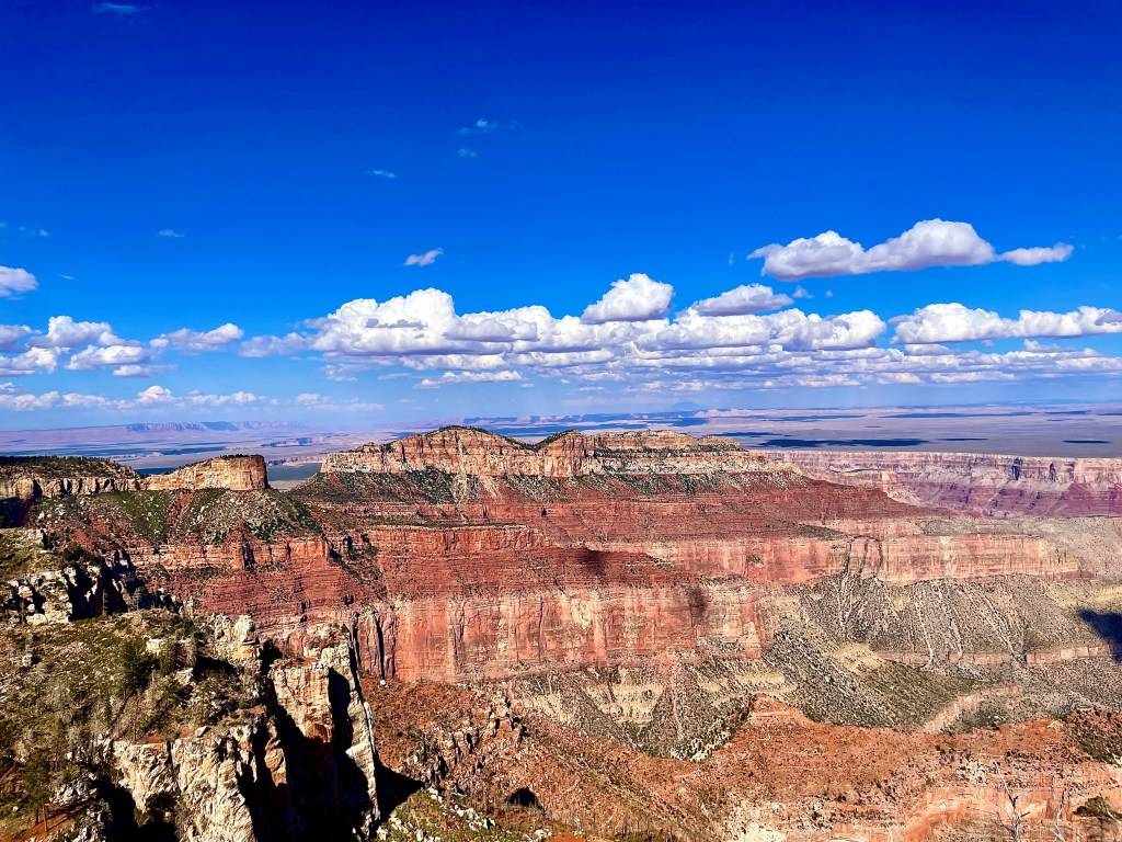
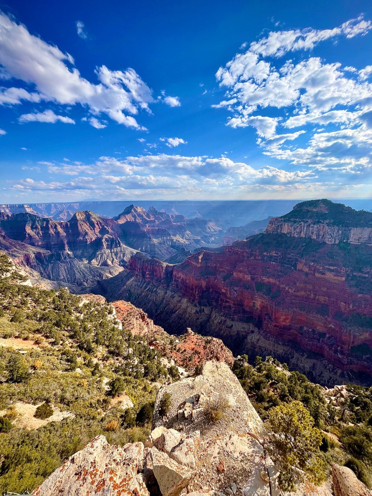
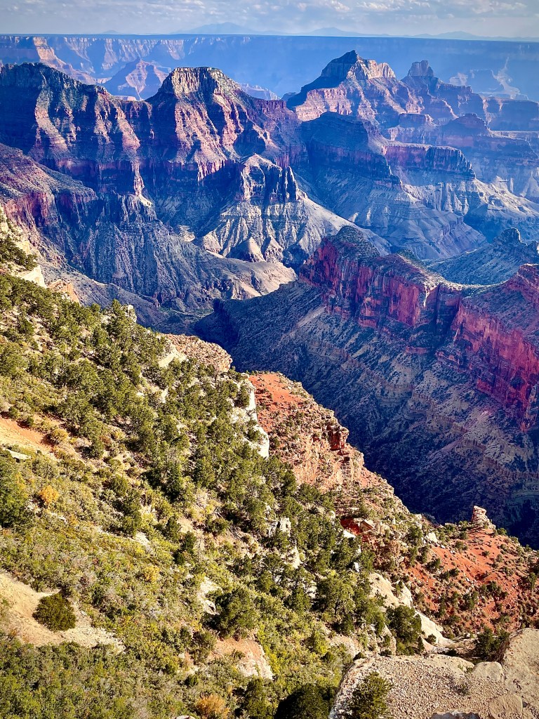
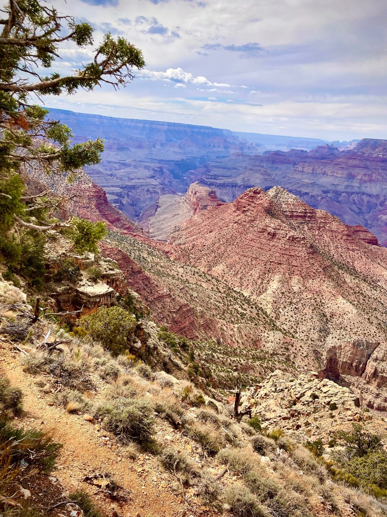
The canyon from the South Rim reminded me how absolutely elemental we are in scale, time, and place and my sense of how unified we are all within an indifferent Earth, bound by its land, waters, and sky, that my sadness lifted. I was not even discouraged by the crowd. Not wanting to pass up an opportunity to be a rebel, please excuse the “taxed-out graphic art” below…
“The wonders of the Grand Canyon cannot be adequately represented in symbols of speech, nor by speech itself.” John Wesley Powell
Unlike the North Rim, I was discouraged by the crowd that was massed at the Maswik Lodge so we decided to find a warm caffeinated beverage in Tusayan just outside of the park. We have this running mockery bordering on scorn for motorcycles parked in front of a Starbucks. And what did we find? A Starbucks in front of which we parked our bikes…
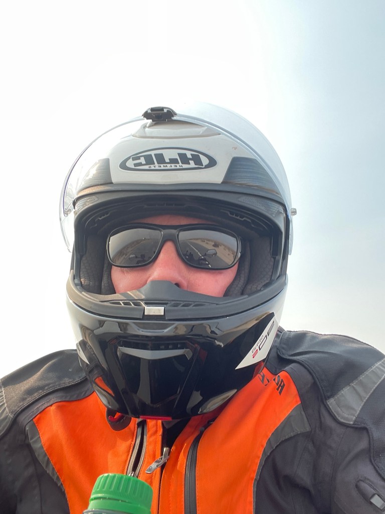
Selfie-mockery
Williams, our original destination for the evening was replaced by Seligman, now anxious to ride the original “all weather highway” as weather was once again threatening. We discovered that the “original” Route 66, was in ruin just west of Williams where the roadbed disappeared under the eastbound lanes of I-40 . So, we jumped on the interstate to Ash Fork onto a replica (in highway engineering terms, a “realignment”) of what John Steinbeck dubbed,”the mother road” in his novel The Grapes of Wrath.
My father, his father, and sister, were a displaced farm family, like the Joads and thousands of real-life Americans who fled drought and poverty in Oklahoma, Texas, and neighboring states during the Great Depression and traveled west along Route 66 in search of employment. Riding comfortably with no hardships, save a little rain, with all of our needs easily obtained, and convenient destinations left me feeling impressed by my family’s struggle to make my life so abundant.
Dad is behind the wheel, Grandpa is on the left following the harvest from Arizona to California
Westbound from Ash Fork we rode on Crookton Road segment of historic Route 66. All the alignments of Route 66 then resurface at Exit 139, where they head towards Seligman as the longest remaining segment of Route 66 in the whole of the U.S. that ends at Topock on the Colorado River at the California state line.
Per our usual decision at the day’s end, with clouds once again gathering, we opted to stay indoors in what we hoped to be an iconic Route 66 motel for the night. Upon entering Seligman, we began our quest for finding this iconic Route 66 lodging. Seligman has a population of just under 800 so we weren’t expecting to find much. That was until…
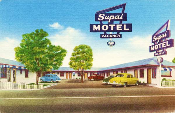
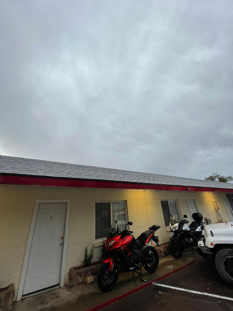
The Supai, then and now
Anxious to secure lodging, the motel appeared to be closed as there were no vehicles in the parking lot nor was there an attendant in the office. However, there was a note with a phone number taped to the window of the office door. We called the number and the fellow on the other end explained that indeed the motel was open and he would send his wife from their other motel to open the office as he was coaching a youth basketball team.
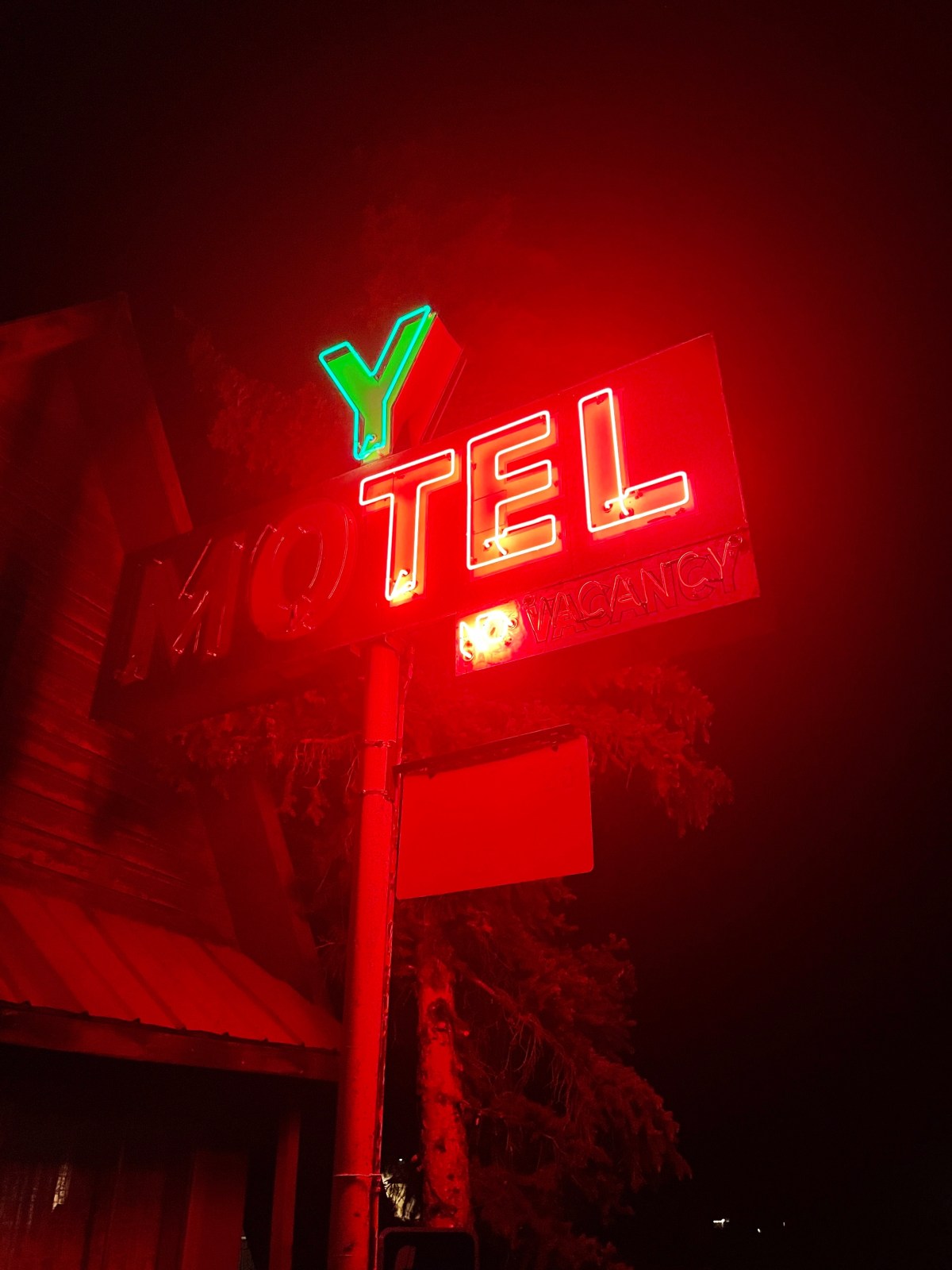
Kim arrived from their other property in town, the Deluxe Inn. She and her husband acquired the properties from his parents and were in the process of restoring/renovating them. The hotel wasn’t of the same vintage as the Y Motel in Chama as the Supai opened in 1952. The early 1950s postcard upper left states:
SUPAI MOTEL SELIGMAN, ARIZONA. Phone – 953. Seligman’s newest and finest motel. (In center of City on Highway 66.) Tile baths, tubs or showers. Air-Conditioned by Frigidaire, panel type heat. Franciscan furniture, spring air mattresses, carpeted floors. Owned & Operated by Mr. and Mrs. H. Lanier.
The spirited inn keeper, Kim, recommended we park our motos under the cover of our room’s porch. She also recommended two restaurants, not the Copper Cart or the Snow Cap, both closed, but Lilo’s Cafe featuring German cuisine and the Roadkill Cafe/OK Saloon. Having dropped gear we walked to dinner at the Roadkill Cafe, since OK Saloon was included in the name, where the menu featured Deer Delectables, Bad-Brake Steak, Fender Tenders, Caddie Grilled Patty, Splatter Platter, Swirl of Squirrel, Big Bagged Stag, and Highway Hash.
The very entertaining bartender Larry was servicing a table in the bar where Pete and I sat for our buuurrrrguuurrrs. He was Googling drink recipes as he had returned to post-Covid lockdown employment, reinventing himself as a bartender and plying the assorted exuberant patrons with elixirs and concoctions decreasing their inhibitions in direct proportion given his pours. I only hoped they walked next door to their lodging… To the Deluxe and hopefully not the Supai!
A feast of neon
The evening ended sitting in front of our room, enjoying the relaxation, rehydrating and reflection hour with a few of our fellow road-tripping and deer hunting guests, as by then there were no vacancies despite the display on the brilliant neon sign at the Supai, once upon a time, “Seligman’s newest and finest motel.”
Day 9, Seligman to Shoshone
Seligman to Shoshone ~284 miles by way of Peach Springs, Truxton, Valentine, Hackberry, Antares, Walapai, Hualapai, a deluge in Kingman, Bullhead City, with washouts on the way to Searchlight, Baker and the Mojave Preserve to Shoshone
Early the next morning the parking lot was wet but not our bikes. That wetness would happen a couple of hours down the road…
Off to an early start en route to our favorite high desert destination between Baker and Death Valley Junction, the Shoshone RV Park and Campground, we would first have to cross three state boundaries. The Route 66 portion of the ride was relatively dry as we sped down long stretches of straight as an arrow pavement next to the Atchison, Topeka, and Santa Fe through once prosperous rail towns that like Seligman, that were trading on nostalgia and a sentimental yearning for Route 66’s past as present day tourist stops.
And now for some of that nostalgia, Atchison, Topeka, and Santa Fe featuring Johnny Mercer and the Pied Pipers with Paul Weston and his orchestra from MGM’s 1946 production of the Harvey Girls, “A Gay and Lusty Romance Musical” with “Two-Gun Judy Garland…” The Harvey Girls Trailer
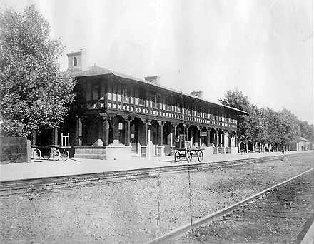
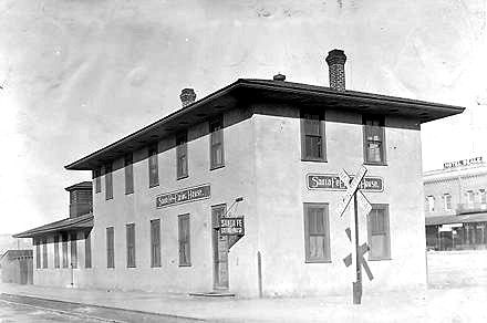
Harvey House Seligman (left) Kingman (right)
Kingman, still thriving as a railtown along side of the historic road’s role in American history that is celebrated at the Route 66 Museum, set inside the Powerhouse Visitors Center. Murals, dioramas and a library at the Mohave Museum of History and Arts trace local history. Locomotive Park, featuring a 1928 steam engine, and the Kingman Railroad Museum document the city’s past as a 20th-century railway hub. None of which we saw, virtually trapped in a Denny’s as the clouds burst…
After a couple of hours sitting out the front as the lightning and horizontal rain ceased, we returned to our bikes to helmet-up and make our way. Helmets we left on the mirrors of our motos. Exposed. Wet. Thankfully it wasn’t terribly cold, so they dried in no time once underway.
US-93, AZ-68 took us across Golden Valley where we encountered light-flashing Highway Department vehicles positioned where washes from the flash flooding covered the road, none of which were impassable by the time we arrived, but required caution crossing as water, sand, and rocks made for less that ideal pavement on a two-wheeled platform.
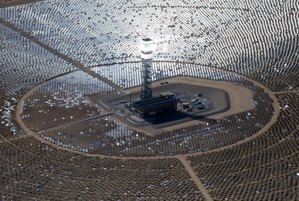
With miles to go we crossed the Colorado River for the last time on the trip just below the Davis Dam entering Nevada on NV-163 to Palm Gardens and US-95. Reaching Searchlight we then headed west on NV-164 crossing the border into California passing through Nipton, approximately 12 miles southeast of Primm, Nevada and the Ivanpah Solar Power Facility that shone eerily with a dark, clouded sky backdrop. I shoulda’ stopped to take a picture. Since the interwebs is full of pictures, how about this one?
The Ivanpah Solar Electric Generating System is seen in the Mojave Desert of California on March 3, 2014. The facility uses 347,000 computer-controlled mirrors to focus sunlight onto boilers on top of three 459-foot towers, where water is heated to produce steam to power turbines providing power to more than 140,000 California homes. (Ethan Miller/Getty Images)
Nipton, by the way, could be yours as it’s for sale for a mere $3 million doll-hairs. From the LAist:
If you can’t afford the $3 million asking price, looks like renting may be a possibility
I’m a fan of Brent Underwood’s YouTube channel, Ghost Town Living. It seems buying an old ghost town and monetizing a YouTube channel is a thing these days. Not quite reaching I-15 we turned south onto Ivanpah Rd. It only took about ten miles for me to grasp that we were headed to Kelso in the opposite direction of our destination. We then headed more or less in the correct direction on Morning Star Mine Rd. to the small town of Cima. Originally Cima served as water stop for trains going up the long Kelso Valley grade. Later, Cima functioned as a shipping center for mines and ranches in the area. For us it functioned as a route correction back to Barstow Road, a.k.a. I-15, and the Shell Station west of Mountain Pass where we paid $5.90 for a gallon of Premium. Thankfully, I only needed 3.96 gallons.
Off to Baker zooming on I-15 we paused to stretch and delayer from the cooler rain influenced gear into the lighter desert gear and check to out an interesting vehicle on the side of the road.
And we thought 90 mph on 650 cc motos was speedy…
In a bit under an hour, we’d be in Shoshone. If my calculations are correct, Jim “Jet” Nielsen and his 700mph jet car, who incidentally holds 4 land speed world records but prefers not setting them on salt beds, could make in about 5 minutes…
Pete and I set off from Baker on CA-127 across the Mojave National Preserve. From the National Park Service website:
Singing sand dunes, cinder cone volcanoes, a large Joshua tree forest, and carpets of spring wildflowers are all found within this 1.6-million-acre park. A visit to its canyons, mountains, and mesas will reveal long-abandoned mines, homesteads, and rock-walled military outposts. Located between Los Angeles and Las Vegas, Mojave provides serenity and solitude from major metropolitan areas.
We arrived at Shoshone as the sun was sinking in the west below the Greenwater Range.
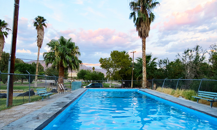
The Pool at the Shoshone Trailer Park & Campground is warm spring fed
The story of Shoshone is interesting. The current owner of the town, Susan Sorrells, didn’t buy the place, she inherited it. Her family’s fascinating story can be found at The Mojave Project: Reimagining the Amargosa .
After setting up camp, we strolled over to the Crowbar down the Old Highway 127 past the Maury and Bernice Sorrells house. As far as we could tell, the only private residence in Shoshone.
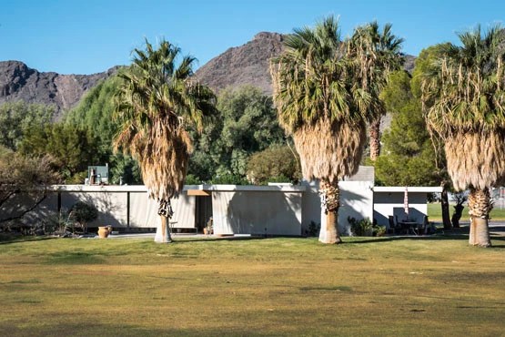
Susan Sorrells’ family home designed by renowned modernist architect Richard Neutra
After buurrgguurrs and beers I asked David, our waiter where folks who worked in Shoshone lived since there didn’t seem to be any houses except for the Sorrell’s. It turns out he was a Covid layed-off waiter from one of the restaurants at the sheik Cosmopolitan in Las Vegas who was commuting from Pahrump to work as a server at the Crowbar. From our perspective, Covid had given him the opportunity to step up in the world. IMHO, Shoshone may not have what Las Vegas has, but Las Vegas comes up lemons, bananas, and cherries to what Shoshone has.
On our way out of the restaurant we met two motorcyclists, Mark on a BMW R9T and Ray on a BMW 1200 RT from the Bay Area on a trip like ours, or rather, one we’d done before. They were staying at the Shoshone Inn, part of the Sorrells grand slam of owning all of the commercial businesses in town. They were headed to Kernville from Shoshone having toured Zion and Bryce on their sleek and shiny German machines.
-You meet the nicest people when traveling by moto
As usual, we procured beverages for the relaxation, rehydration, and reflection hour and met fellow campers Ann and Dave from Chicago and New Jersey by way of a sand-to-shore motor tour of the Mojave and Death Valley from their home in Salt Lake City. Their destination, Morro Bay in search of wineries. They were an affable couple who like us last spring, just by chance, discovered the Shoshone RV Park and Campground.
Given the pressing desire to return home to help out with my wife’s mother’s affairs, join my family in mourning Luna’s passing, and concern that the next weather front to come through was forecasted to close the passes over the Sierra to get back home, we decided to forego plans to go to Rhyolite and Goldfield. No disappointment, only new opportunities to return.
The new plan instead was to head to Panamint Springs for lunch and decide whether to camp in Lone Pine where we stayed last spring or Independence where we stayed a couple of years ago on another adventure or press on. (Posts of those trips can be found on the home page.)
Under new ownership and temporarily closed
Since our favorite desert oasis, food and beverage dispensary, and campground was closed, we headed to Lone Pine for lunch at the Bonanza Mexican Restaurant. Hunger sated and weather updated we made the decision to press on and make our way over Tioga Pass before a storm, headed our way, was predicted to be cold enough for snowfall to close the pass. This atmospheric river was equally likely to complicate Walker Pass to the south on CA-178 and snow was just as likely to close Sonora Pass on CA-108 or any of the passes to the north .
A quick refuel at the Woah Neli-Deli along for a cocoa laced coffee and we were off once again crossing Tioga Pass as the shadows lengthened. There was no less beauty in this segment of the ride, but we were homeward bound, road weary and anxious to return so my phone was tucked away. We arrived home right around sunset, glad to reunite with family but satisfied that yet another moto tour to celebrate was complete and no accidents or mechanicals befell us.
Epilogue
Edward Abbey has best expressed how I am drawn to the Mojave, Colorado Plateau, and Basin and Range through which I’ve pedaled in my youth and throttled more recently. In his words:
The geologic approach is certainly primary and fundamental, underlying the attitude and outlook that best support all others, including the insights of poetry and the wisdom of religion. Just as the earth itself forms the indispensable ground for the only kind of life we know, providing the sole sustenance of our minds and bodies, so does empirical truth constitute the foundation of higher truths. (If there is such a thing as higher truth.)
It seems to me that Keats was wrong when he asked, rhetorically, “Do not all charms fly … at the mere touch of cold philosophy?” The word “philosophy” standing, in his day, for what we now call “physical science.” But Keats was wrong, I say, because there is more charm in one “mere” fact, confirmed by test and observation, linked to other facts through coherent theory into a rational system, than in a whole brainful of fancy and fantasy. I see more poetry in a chunk of quartzite than in a make-believe wood nymph, more beauty in the revelations of a verifiable intellectual construction than in whole misty empires of obsolete mythology.
The moral I labor toward is that a landscape as splendid as that of the Colorado Plateau can best be understood and given human significance by poets who have their feet planted in concrete — concrete data — and by scientists whose heads and hearts have not lost the capacity for wonder. Any good poet, in our age at least, must begin with the scientific view of the world; and any scientist worth listening to must be something of a poet, must possess the ability to communicate to the rest of us his sense of love and wonder at what his work discovers.
Feel free to drop a comment or read of other adventures at Sisyphus and Associates on Facebook or @tjdw7 on Instagram, or sisyphusdw7.com, home of Sisyphus and Associates. Thanks!
Following a blistering summer in the Central Valley of California, the lingering heat and smoke filled air made the September transition into fall something of a repeat of the previous four years when fires ravaged the state. To any heat, fire, pandemic, and drought weary Californios, a late September departure seemed like a good time to mask up and head east for a little relief from high temperatures, smokey air, and parched landscapes. At least vaccinations made travel somewhat safer. So, what better destination to ride to than the desert in the direction that prevailing winds travel! Duh…
Pete, without Andy, above the Colorado River in Moab hoping the sculpture doesn’t release the stone
The cast of characters for this adventure included Pete and Andy, familiar faces from previous trips. Sadly, as life wants to do, events unfolded such that elderly parents needed attention and Andy, good son that he is, had to bow out. Likewise there were issues with my mother-in-law, but my wife and her sisters were able to care for her and with Toni’s blessings, I was given the green light.
Andy, with Pete, on a frosty October 13, 2019 on the Under a Fool Moon Ride across Death Valley
Pete and I met on Sunday morning, September 26, at our usual meeting place, the Chevron station on the corner of Yosemite Ave. and “G” Street in Merced. Our route was to take back roads to CA-120 crossing the Sierra over Tioga Pass on to Tonopah, NV. Road repairs and the closure of any services minimized the crowds one might expect to find at the end of the summer in Tuolumne Meadows. Though not evident in the photo, the air was less than pristine with smoke from the Caldor and KNP Complex fires casting a pall over the foothills up to and over Tioga Pass. In fact landscapes of our entire ride east of the Sierra, nearly all the way into Utah, were obscured by smoke.
Where are the teeming masses?
At the Benton Junction we pulled into the Benton Station where we met David who was traveling on a 2002 BMW GS in search of gas which apparently the Benton Station was fresh out of… Benton may have been out of gas, but bees were aplenty as we approached the California Agricultural Inspection Station just a few miles east Benton on US-6. The bees suffered far greater casualties than the three of us motorcyclists. Full face shields, windscreens, armored textile clothing, gloves and hand guards provide multiple safety functions on a motorcycle. Far greater than sunglasses, fingerless gloves, and lycra on a bicycle, our other favored two-wheel transportation…
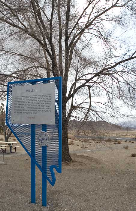
David was traveling from Utah, heading home seemingly uninformed about services in these remote locales, and so we reassuringly accompanied him some 70 miles on US 6/95 in the direction of Tonopah, the next closest fuel on his homeward bound leg before parting company with a so-long wave at Miller’s Rest Stop, a little oasis in the basin and range landscape of rural western Nevada about 12 miles west of Tonopah. Last year we met Tim on his Goldwing, from Sacramento, who offered and egg salad sandwich and cool beverage. There’s more than the wave that bond motorcyclists.
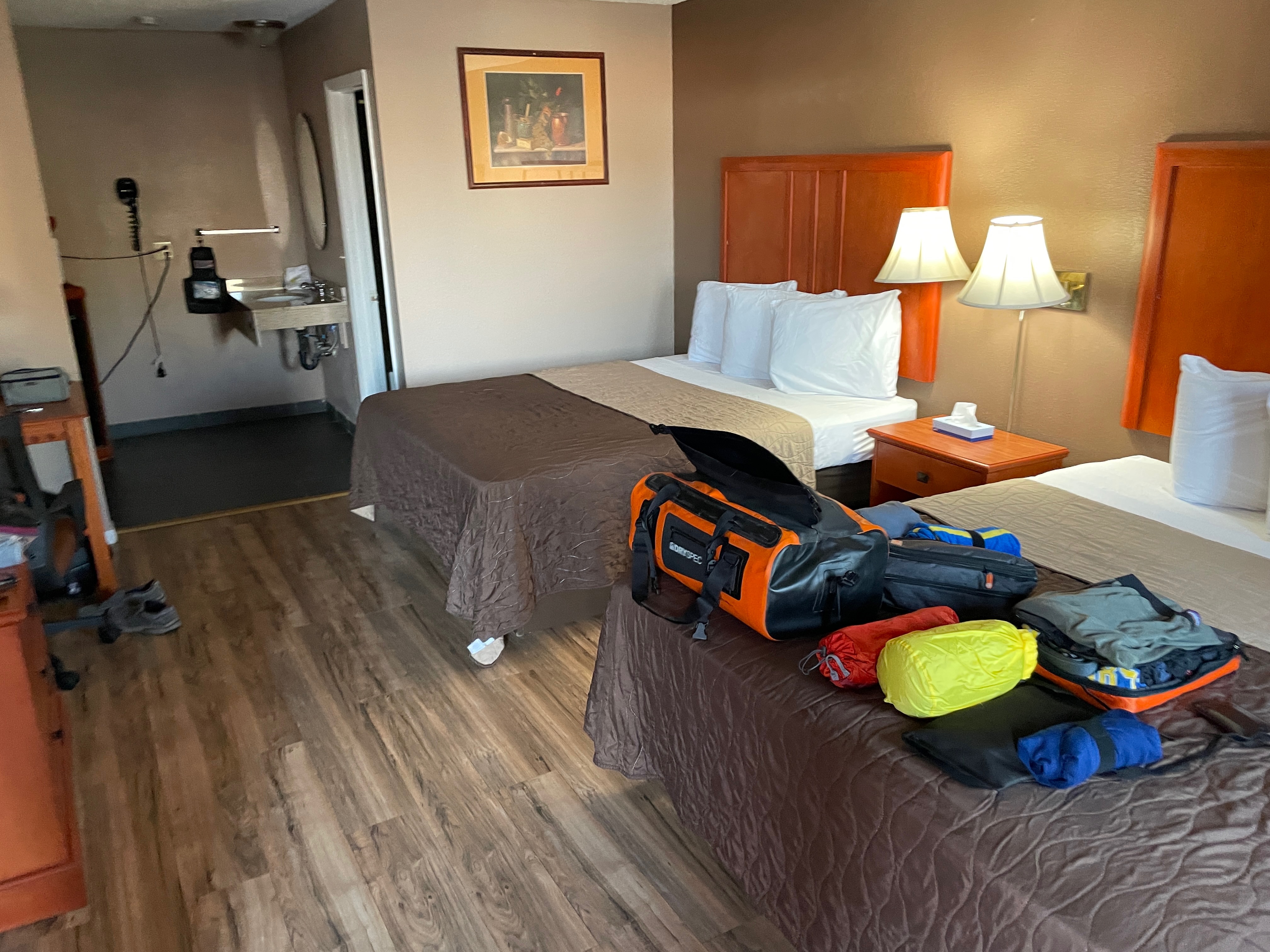
Arriving out our motel we dropped our gear and busied ourselves with locating beverages and food.
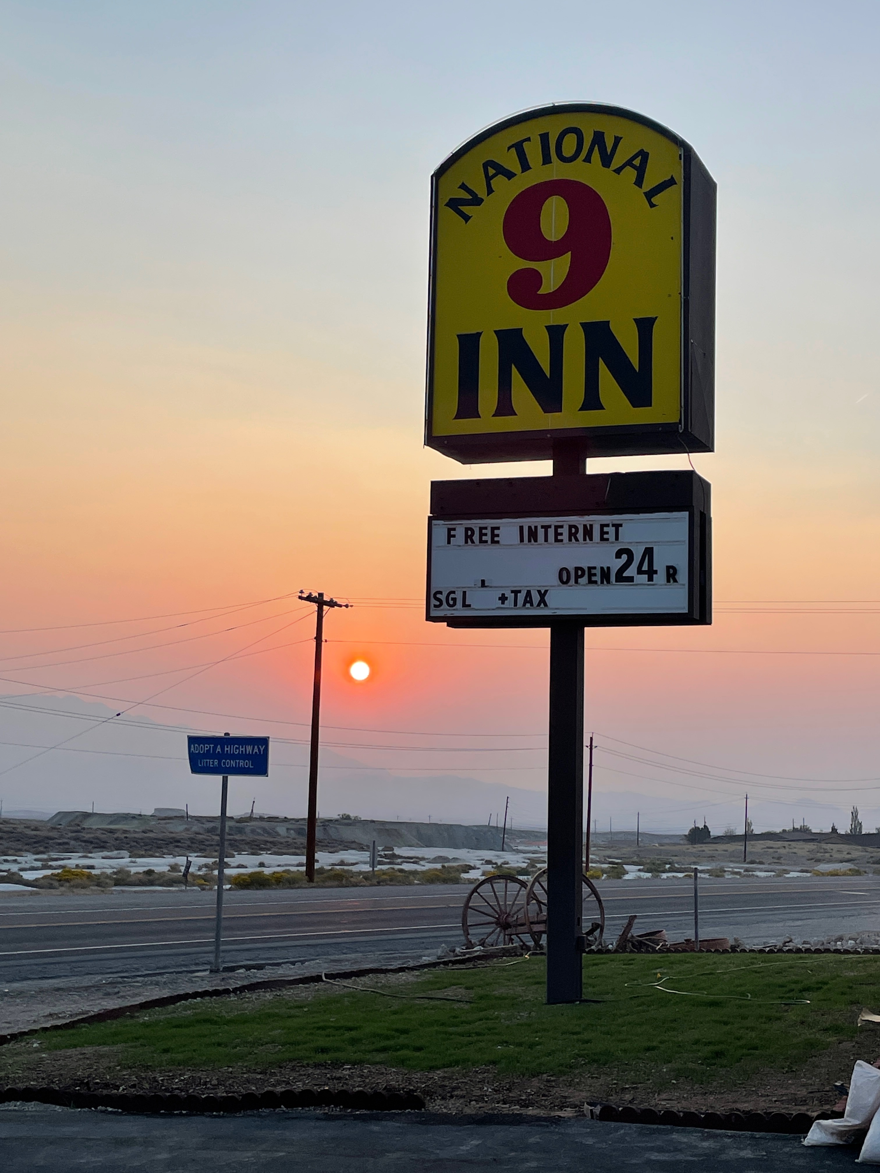
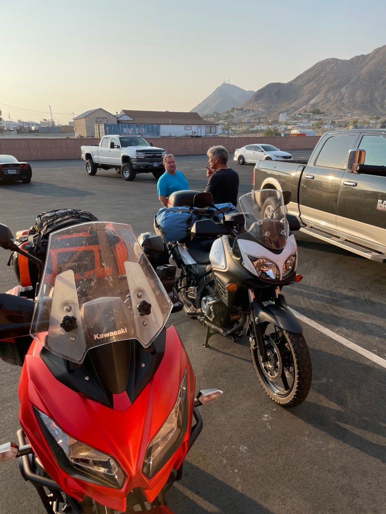
We met a fellow moto traveler at our motel, Robert from Bellingham, WA, who was heading home from touring Cedar Breaks, Bryce Canyon, the Escalante, and Zion National Parks. It appeared that Pete, Robert, and I were the only non-working-stiff types staying at the National 9 Inn.
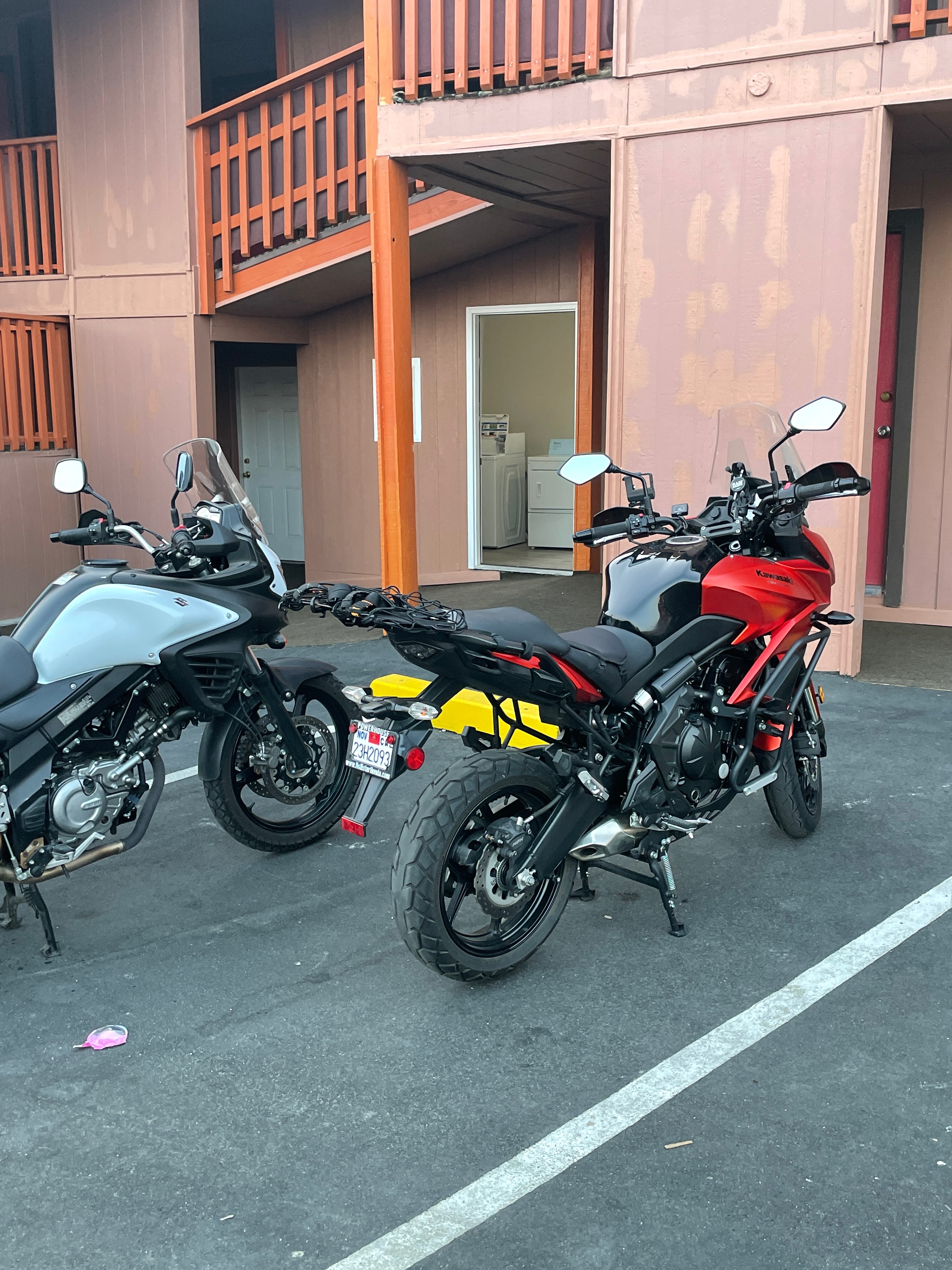
Pete and a new friend comparing notes on detailing one’s machine
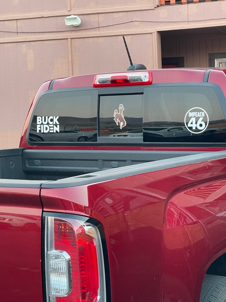
Later, out of curiosity, we asked the desk clerk about the nature of the residents of the motel since we three on motorcycles appeared to be the only tourists. He said they were mostly workers from nearby mines. These miners apparently have differences with the implementation of the Biden administration’s environmental policies reversing those of the “environmental legacy” of former president Trump. His move to restore Bears Ears and Grand Staircase Escalante national monuments in Utah to their original boundaries I’m sure was met with mixed reactions by locals. Thus as non-locals we were left to contemplate the state of affairs in Tonopah as the relaxation, rehydration, and reflection hour arrived.
We met one of those miners the next morning, Jerry from New Mexico who had a turquoise mine near Tonopah.
Turquoise miner wearing a matching tee. Note, we haven’t bothered detailing our machines not minding the bee splatter…
The eggs and corned beef were fried, as they should be
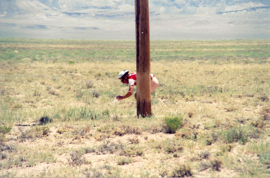
After a satisfying breakfast at the Tonopah Station I was reminded of the Tour de Basin Grande in 1993 where after pedalling a bike 75 miles across basin and range mile after mile of nothing but mile after mile, stopping only for emergencies, the food at Tonopah Station wasn’t nearly as satisfying. Everything was fried, including the salads which would later prompt an emergency stop.
Example of an emergency on US-6. BTW, I was the photographer. The rider will forever remain anonymous…
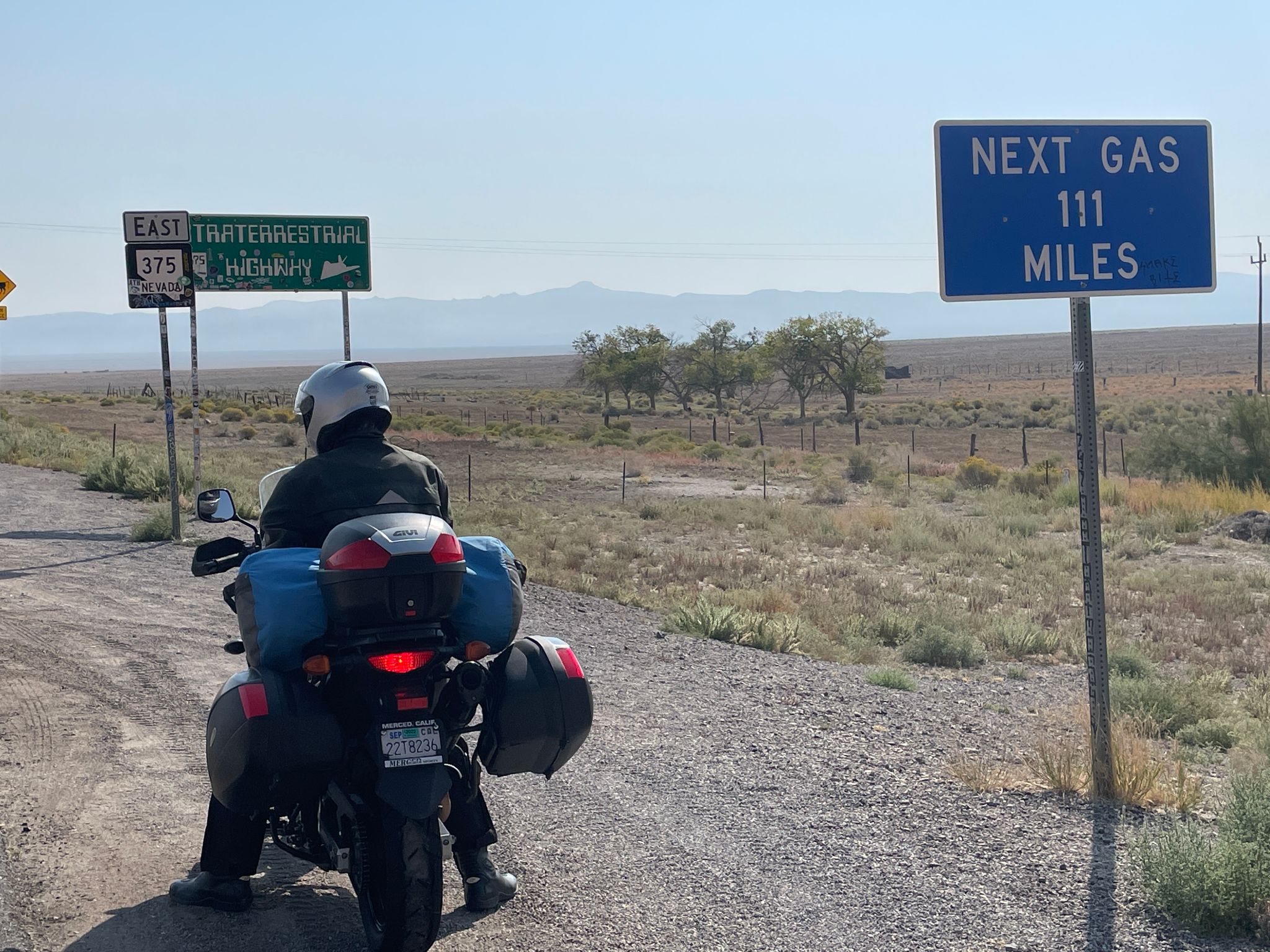
It was on to NV-375 from US-6 to Rachel on the Extraterrestrial Highway.
How many bars you got Pete? Not on your phone! On your fuel gauge…
Miles and miles of nothing but miles and miles
No gas but there was towing
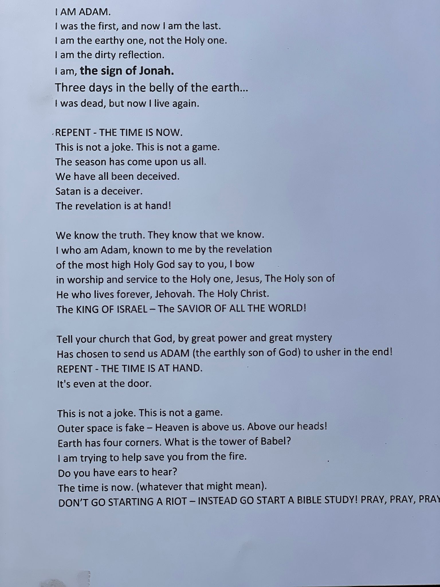
After a brief stop for a cool beverage, we stretched abit walking about the premises of the Little A’Li’Inn and noticed a message taped to the passenger window of a delivery truck.
The prophetic message taped to a window of a delivery truck in Rachel, NV. The last paragraph sums it up…
With that, we forged on slightly amused, a bit confused by the syntax, but grateful for the forewarning.
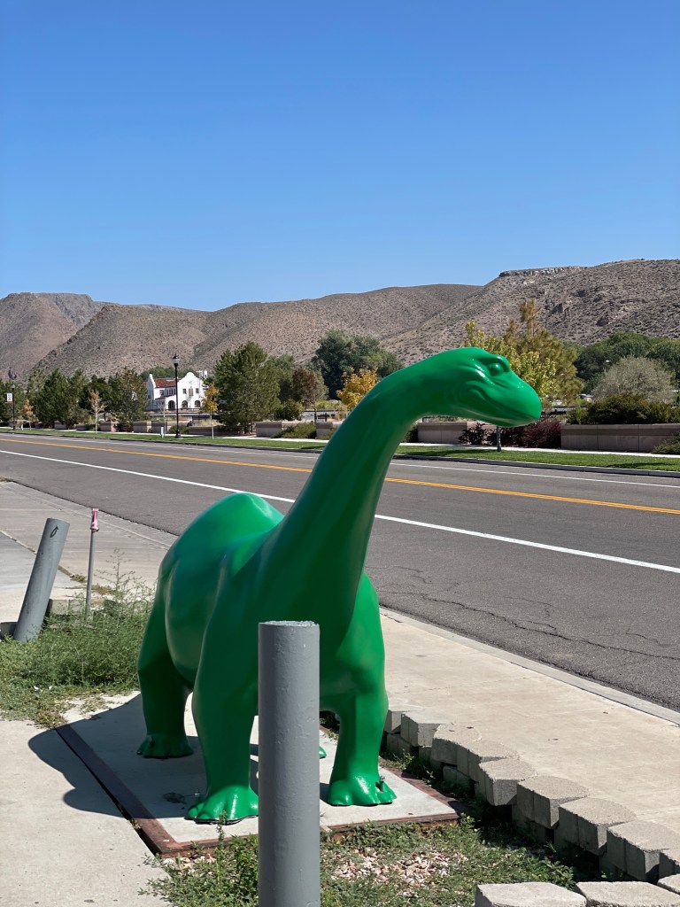
Fuel in Caliente from our little green dinosaur friend whose message wasn’t confusing at all
Passing-up the Alien Research Center this trip, heeding the line from the message taped to the window of the delivery truck at the Little A’Li’Inn, “Outer space is fake,” we entered US-93, The Great Basin Highway through Crystal Springs, Caliente, Beaver Dam, and Bennett Springs to Panaca and CA-319 where at the Nevada/Utah border CA-319 becomes UT-56 through Modena, Beryl Junction, and Newcastle climbing up and up to Cedar City, our day two destination just in time as the weather was beginning to change as we departed arid Nevada for Utah at elevation.
It was much cooler with clouds gathering. Could this be a sign? We had “ears to hear” but hunger to sate so it was off in search of victuals since the rain would likely douse the fire prophesied by the Little A’Li’Inn delivery truck prophet.
Sinclair’s little green dinosaur was replaced by a green bull in Cedar City… Another sign?
Little did we know that yet another omen would be realized. After alerting the desk at our Super 8 motel that their dumpster was fully engulfed in flames, hungry and willing to disregard the ominous delivery truck message, we solicited the recommendation of a friendly river guide, who had just returned from taking USU students on Green River float, for where we might find a satisfying evening meal.
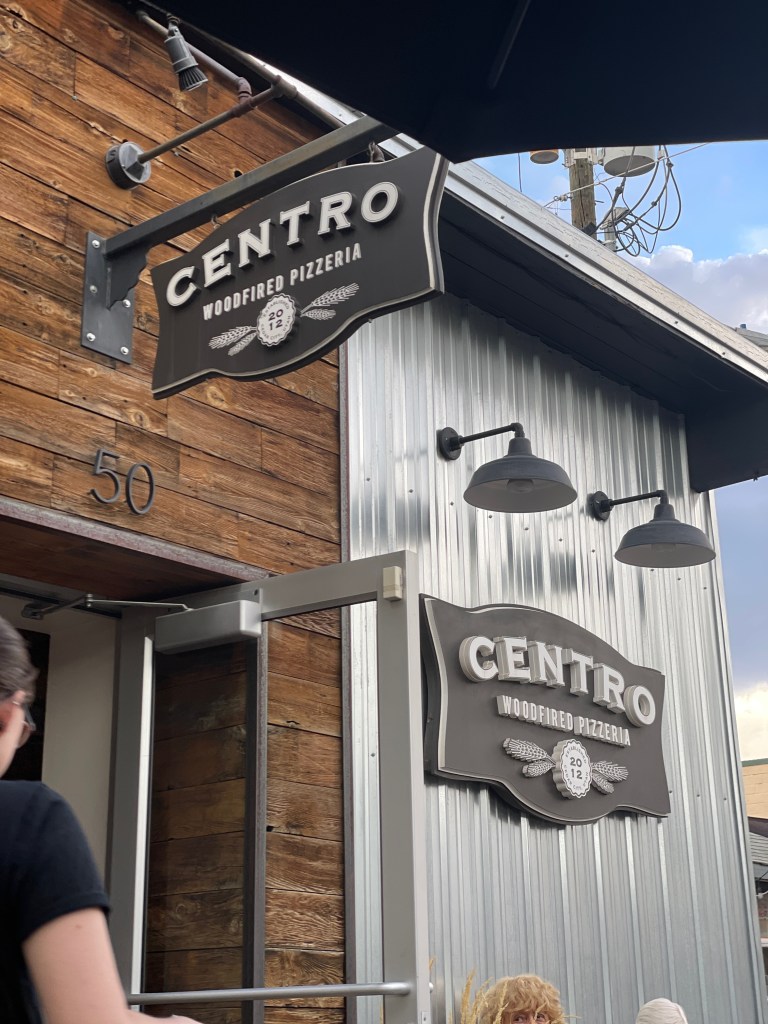
If you’re ever in Cedar City, a visit to Centro is highly recommended!
Given the guide’s directions and Google Maps, we strolled along a very busy UT-56 for about a mile and arrived at the Centro Pizzaria near the downtown of Cedar City. After being forced inside from dining alfresco as winds preceding what would later be an awesome thunderstorm nearly sent the umbrellas at tables into the Mary Poppins stratosphere, Pete and I savored delicious woodfired pizzas.
Choosing to avoid the busy highway back to our hotel, we delighted in the few raindrops preceding what the radar was showing as gully washer heading our way. Strolling through the Southern Utah University campus reminded me of my carefree youthful days at my alma mater in Chico, only now as a carefree retired geezer. By the time we arrived at our hotel, the dumpster fire had been extinguished. The evening thundershower was gathering and beginning to resound. As the relaxation, rehydration and reflection hour arrived, our nightcaps left us feeling confident that we were not about to go out in that weather to start a riot.
Perhaps you’ve notice the sub-heading identifies our third day destination as Green River, however the maps link indicates Moab. The plan was to take UT-14 out of Cedar City to US-89, then UT-12 to Torrey by way of Bryce where we saw our first eye-feast of fall color and began riding through then next several days of intermittent rain.
Then it was on to Cannonville, Tropic, Henrieville, Escalante, and Boulder where last Spring we toured the Burr Trail. Thankfully the twisty roads were dry and relatively free of traffic.
In Boulder a piece of apple and peach pie with coffee satisfied our midday hunger pangs at the Burr Trail Cafe where a couple of Ducatis joined the Versys and V-Strom. Next a snack in Hanksville then on to Green River for the night as threatening skies shortened our goal of reaching Moab.
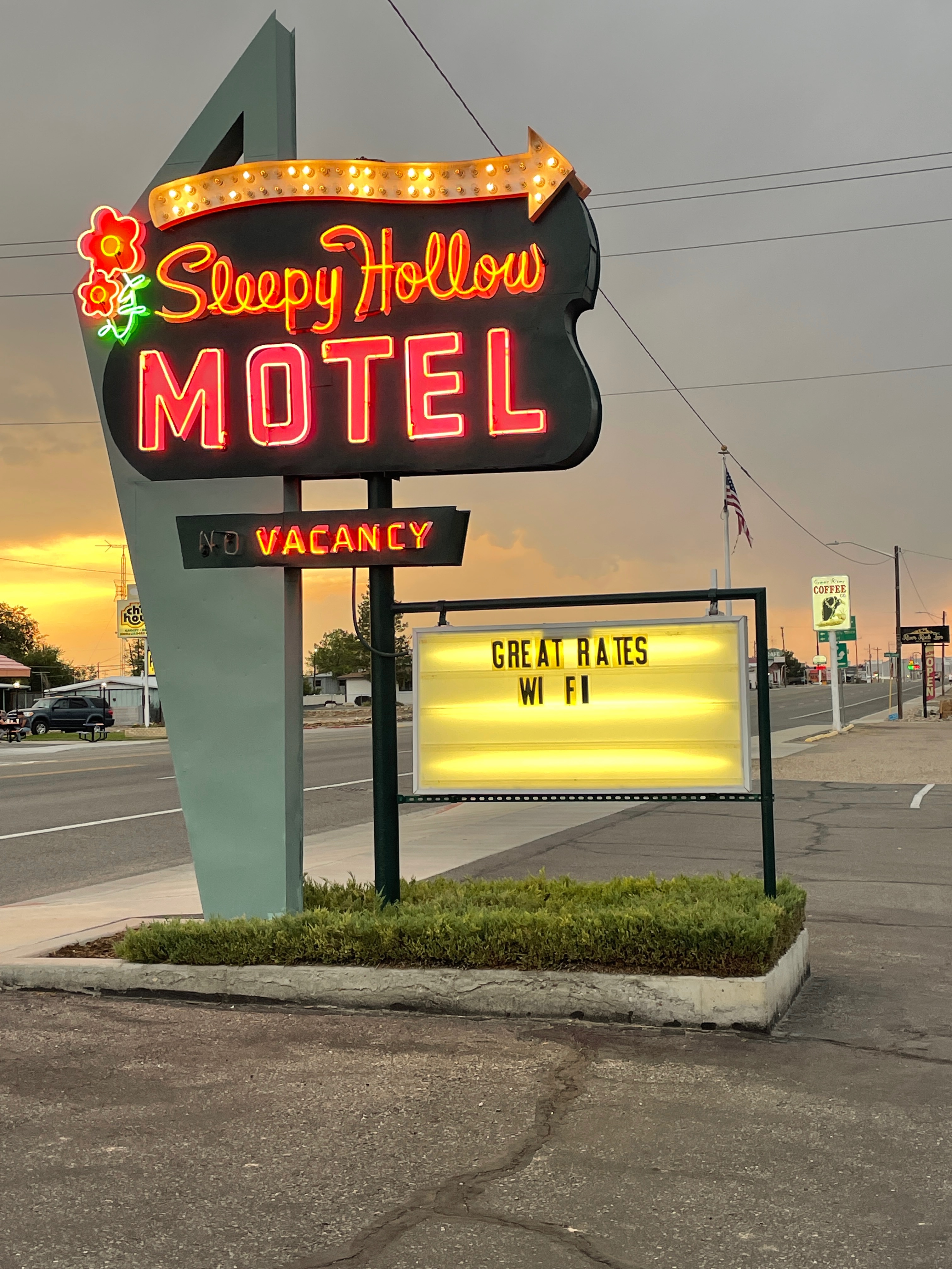
With weather threatening we deferred camping in Moab, another hour or so away, for a motel in Green River. Our stay was at the Sleepy Hollow Motel. Buurrguurrs at Ray’s and with Ducatis on his mind Pete insisted that I consider getting a Ducati Multistrada. I am fine with people mistaking my Kawasexy Versys as a Multistrada. Besides, as we all know, Japanese bikes are reliable.
After Ray’s we procured Utah’s very own, Uinta Golden Spike for the relaxation, rehydration, and reflection hour that would soon take place on the stoop of our room as once again, clouds gathered and raindrops began to fall. Pete reflected on staying at the very same motel some two decades earlier. Interestingly, the housekeeper who we met the following morning at the Sleepy Hollow was the very same woman who worked there when Pete, two decades earlier, awakened to a dead battery on his Kawasaki Z900. Pete recalled that her husband assisted him in jumpstarting the bike. A battery failure doesn’t qualify as an “unreliability”.
There were no dead batteries upon awakening the next morning, but it had rained and more rain was in the forecast.
Nature has done our detailing for us, except for the bee splatter on the wind shields
The next day took us through Moab and fortunately, the rain of the night before had moved east and the earlier forecasted showers arrived later that afternoon. It was here we had our first sighting of the mighty Colorado River having crossed the mighty Green River earlier. Well, historically mighty. Drought has rendered most of the west’s mighty rivers turbid. Mt Tukuhnikivatz to the east, however, was crowned with a late September dusting of snow. The precip was welcomed despite having to ride later in the day through showers on two wheels, thankful for this morning respite.
Moab was crowded with millennials and hipsters in Subarus and Sprinters and white-heads in Winnebagos and Airstreams. Edward Abbey would be turning cartwheels in his grave seeing the conga line to get into the Arches National Park, so it was south on US-191 to Monticello where we would take US-491 to Cortez now in our third state, Colorado, where we joined US-160 to Durango and Pagosa Springs all in the rain. From there it was a soggy US-84 through Chromo, and US-64 to Chama now in our fourth state, New Mexico, for another wet night.
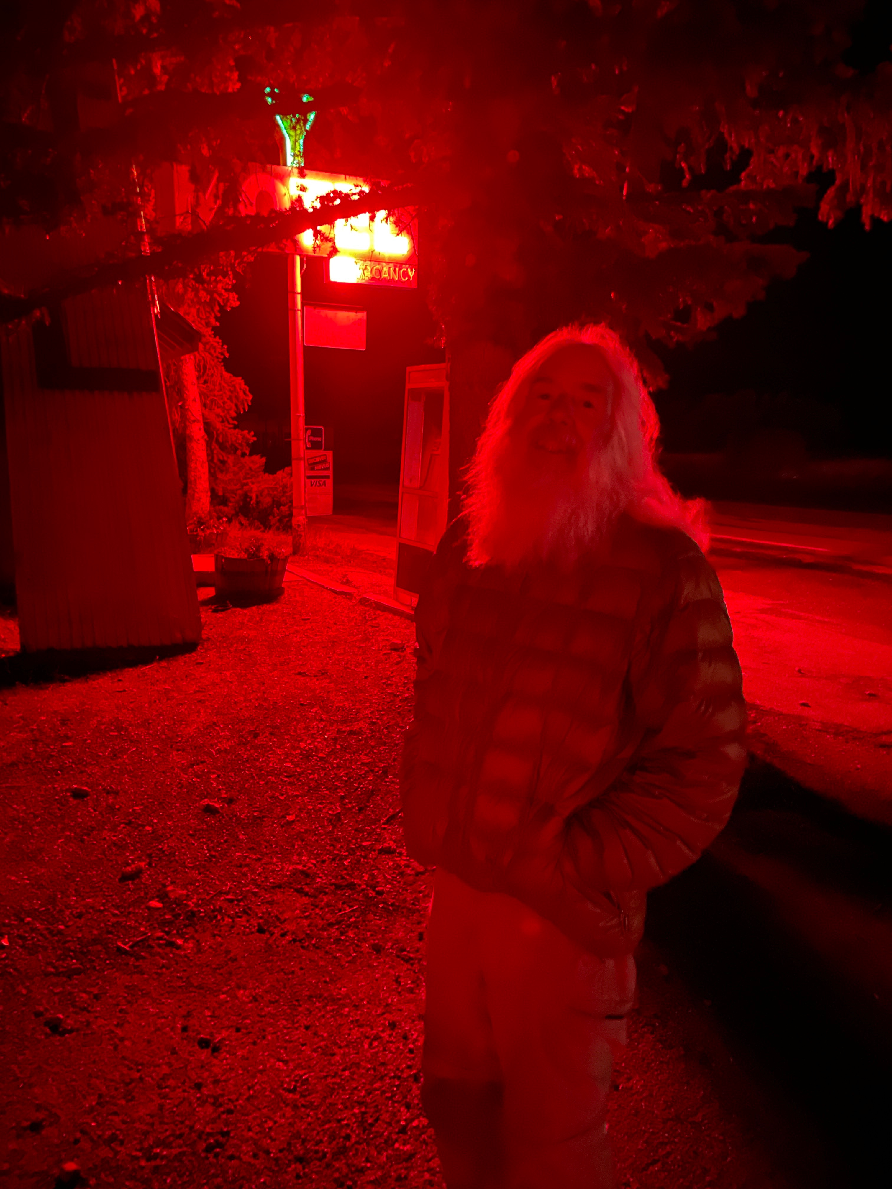
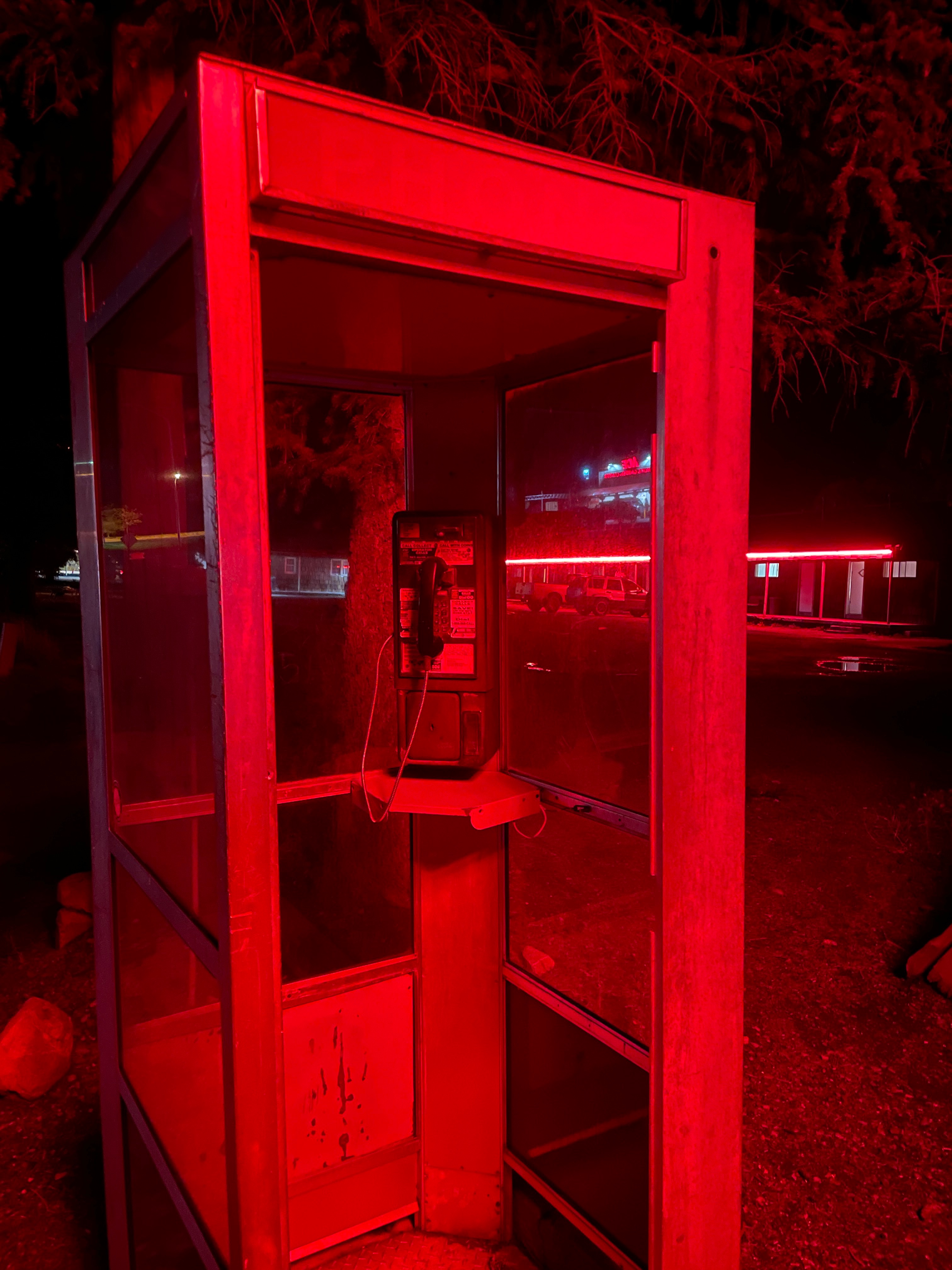
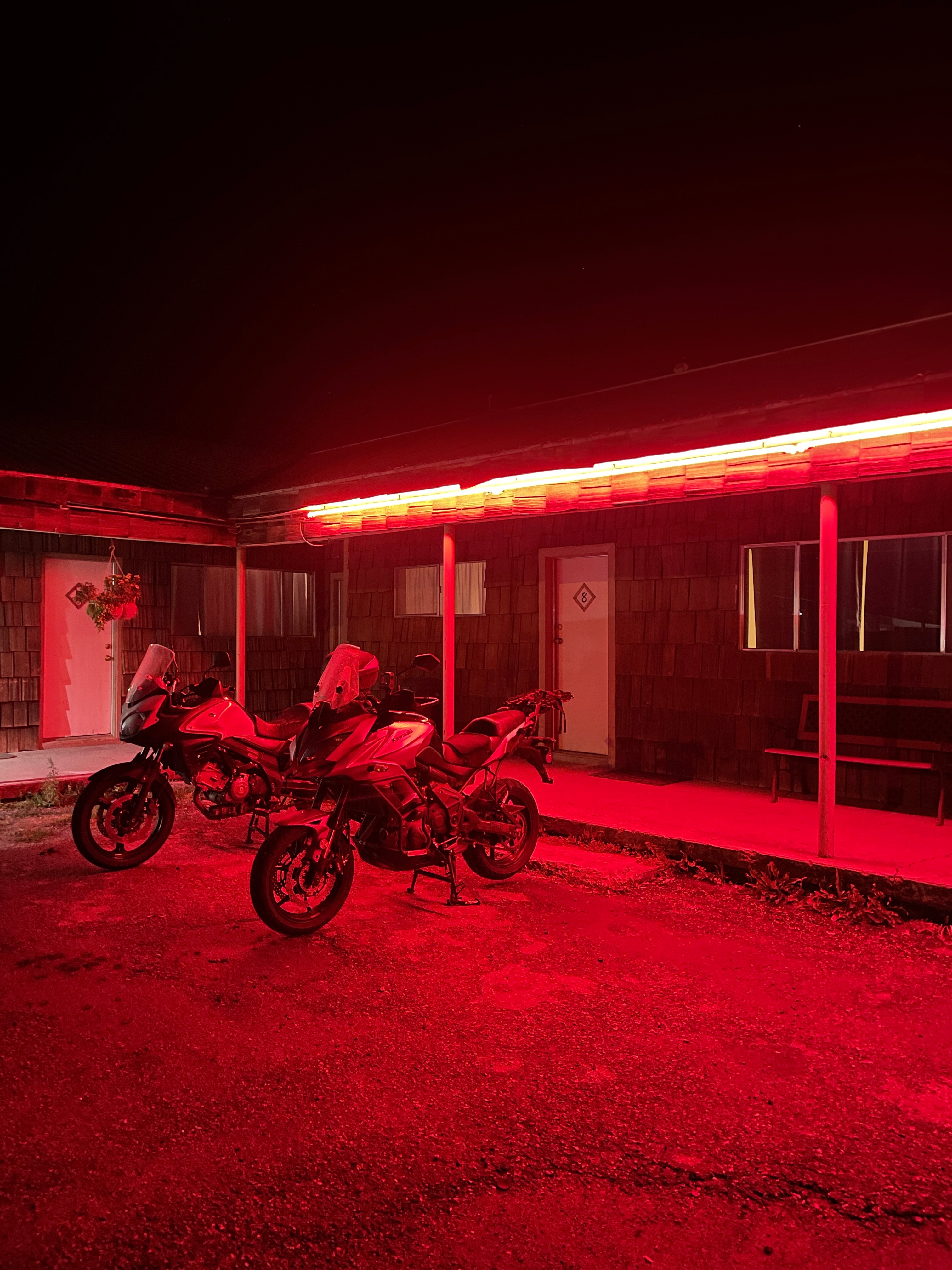
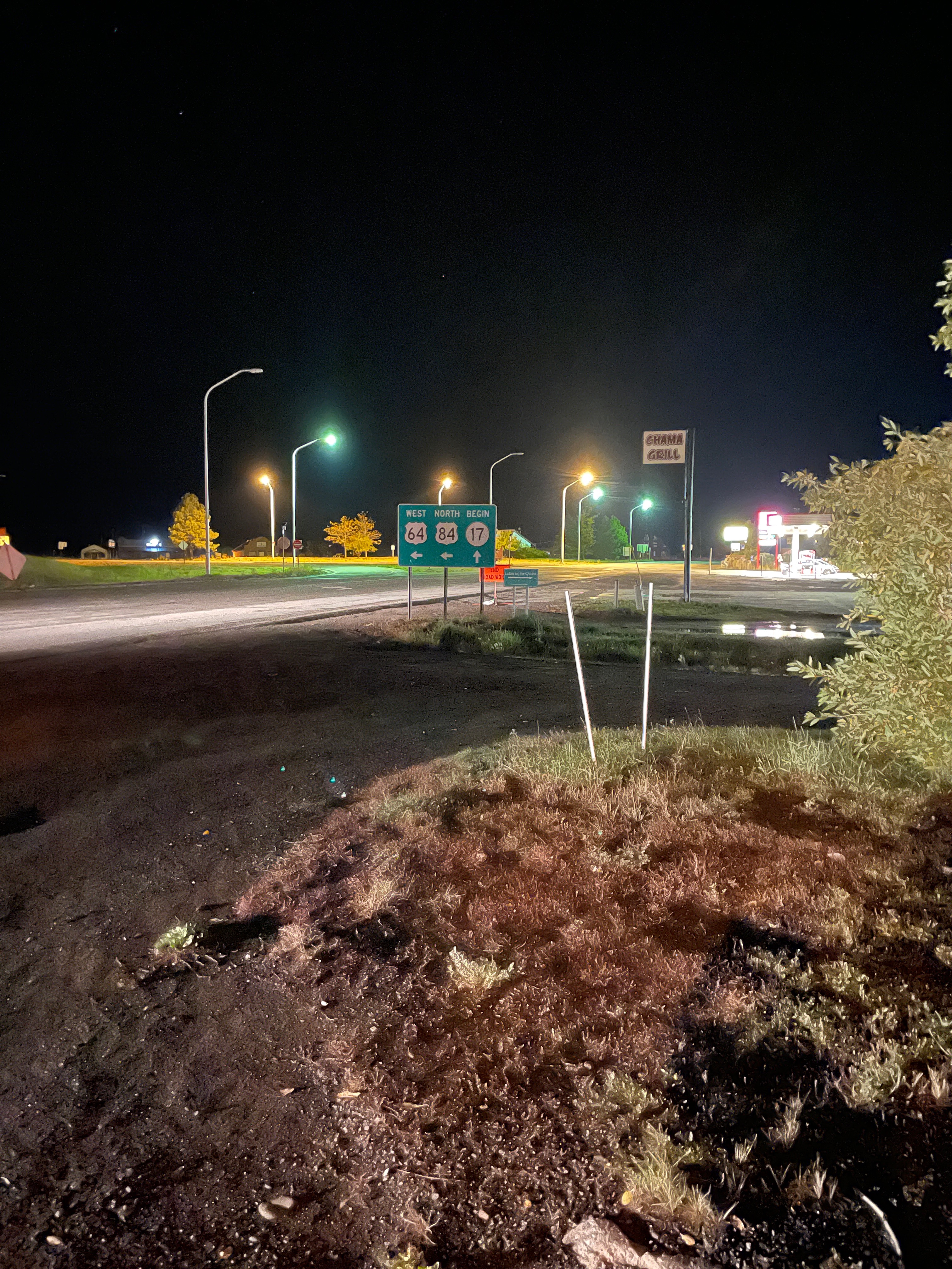
I had read about the Y Motel in Chama on a moto-friendly website. It’s named for the three-way intersection of US-64, UA-84, NM-17 forming a Y. It seemed to meet our criteria for selecting lodging in rural areas, namely a motor court, preferably from a bygone era, and cheap. Besides, every other room was booked in Chama as deer and bear hunting season was set to begin the next day. After waiting for David, a Continental Divide Trail hiker https://glideonblog.wordpress.com/ and dead ringer for John Muir, to register and after some negotiating with Sam samschild.com, both of whom had retreated from trail because of the sudden snowfall, we secured a room.
Mike the motel’s clerk was an entertaining, you might say, eccentric chap. He seemed to be delighted to serve equally entertaining and eccentric guests. He explained how the motel was under new ownership which explained why all of the boxes of items intended for renovations were stacked in the motel office. He implied that as long as they remained in the boxes in the “lobby” he wasn’t responsible for their unpacking or installation. He also noted that Pete and I were worthy of the motel’s reputation among Continental Divide Trail hikers. It seemed some fellows on Harley Davidsons declined staying at the motel as there was no covered parking for their machines. Like parking under a cover somehow mitigates riding through the rain? They ended up riding to Pagosa Springs. In the rain.
When we were given the key, yes, an actual key and not a card, we entered the room. Spartan to describe the room would be generous. Rigorously simple, frugal, or austere comes to mind. There was no soap, two outlets, surprisingly a TV, and towels that might charitably be called handkerchiefs. Better yet described, primitive. Maybe. Rustic for sure. Actually, it was a dump. It’s amazing how the relaxation, rehydration, and reflection hour can allow for one to adjust one’s expectations, and like Brian, look on the bright side of life. Like our hiker friends, at least we all weren’t freezing outdoors in a soggy tent as the deer and bear hunters enjoyed all of the remaining cozy accommodations in town.
The next day, we bid adieu… Sam and Mike, Pete and Tom. Adios boys!
Day 5 Chama to Santa Fe
Pete, happy to have arrived in Santa Fe with bikes safely garaged.
We were anxious to reach our Santa Fe halfway “Abbey’s Other Road Trip” destination at the Delaware’s, Bob and Suzanne, with the promise of fair weather on the more direct route from Chama to Santa Fe on US-84/285. We passed through Tierra Amarilla where, because of the threat of yet another day of cold wet pavement heading up into the Sangre de Cristo Mountains, we decided to skip US-64 to Taos. So, onward through Cibola, Canjilon, Abiquiu, Espanola, stopping in Pojoaque tipping our helmets to the Camel and fueling up while alerting Bob and Suzanne of our impending early arrival.
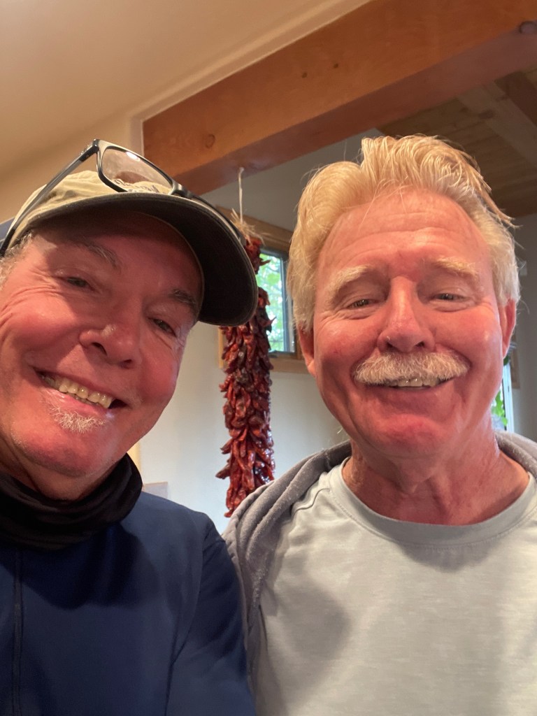
A couple of formerly wild and crazy guys reunited!
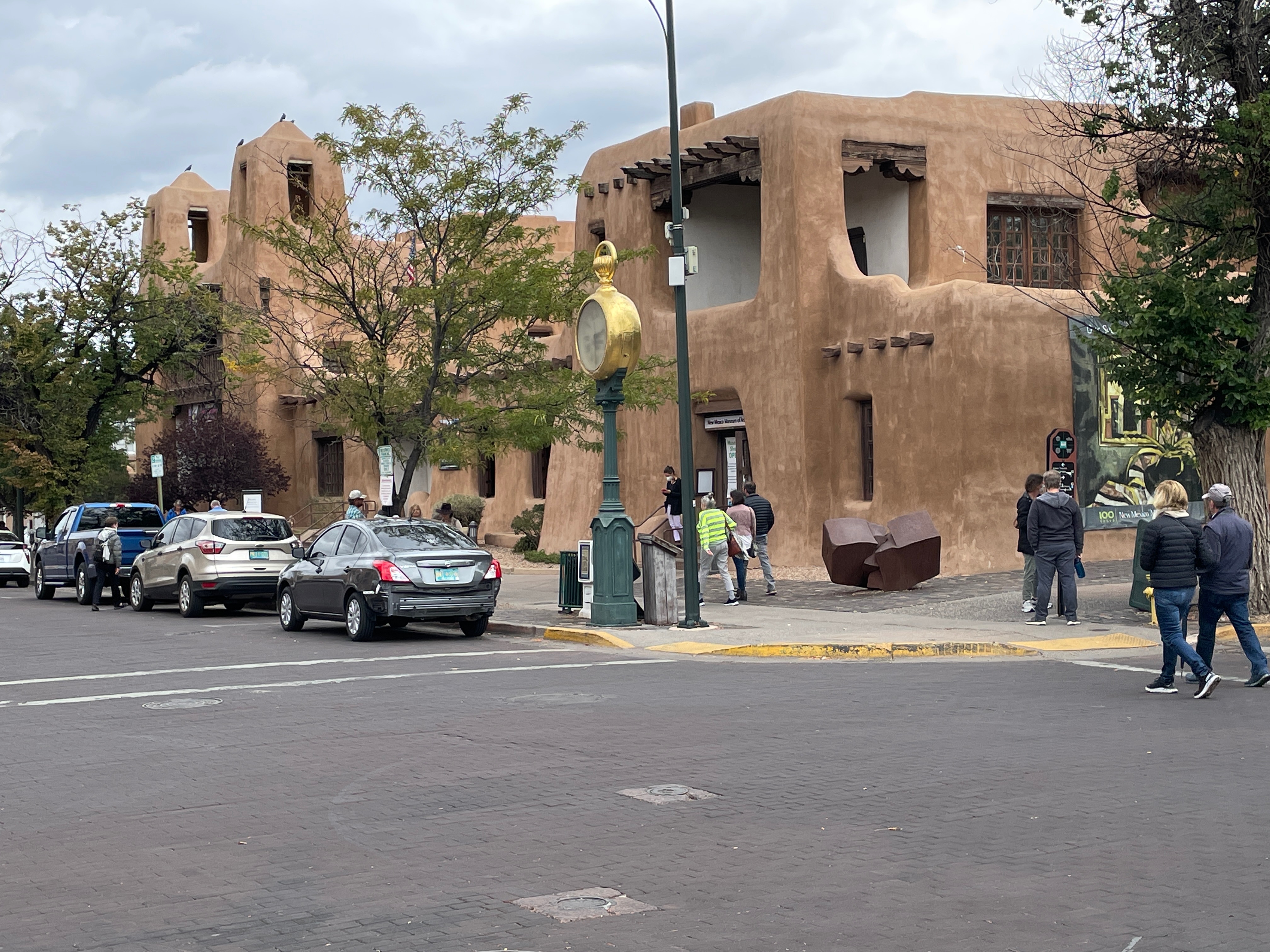
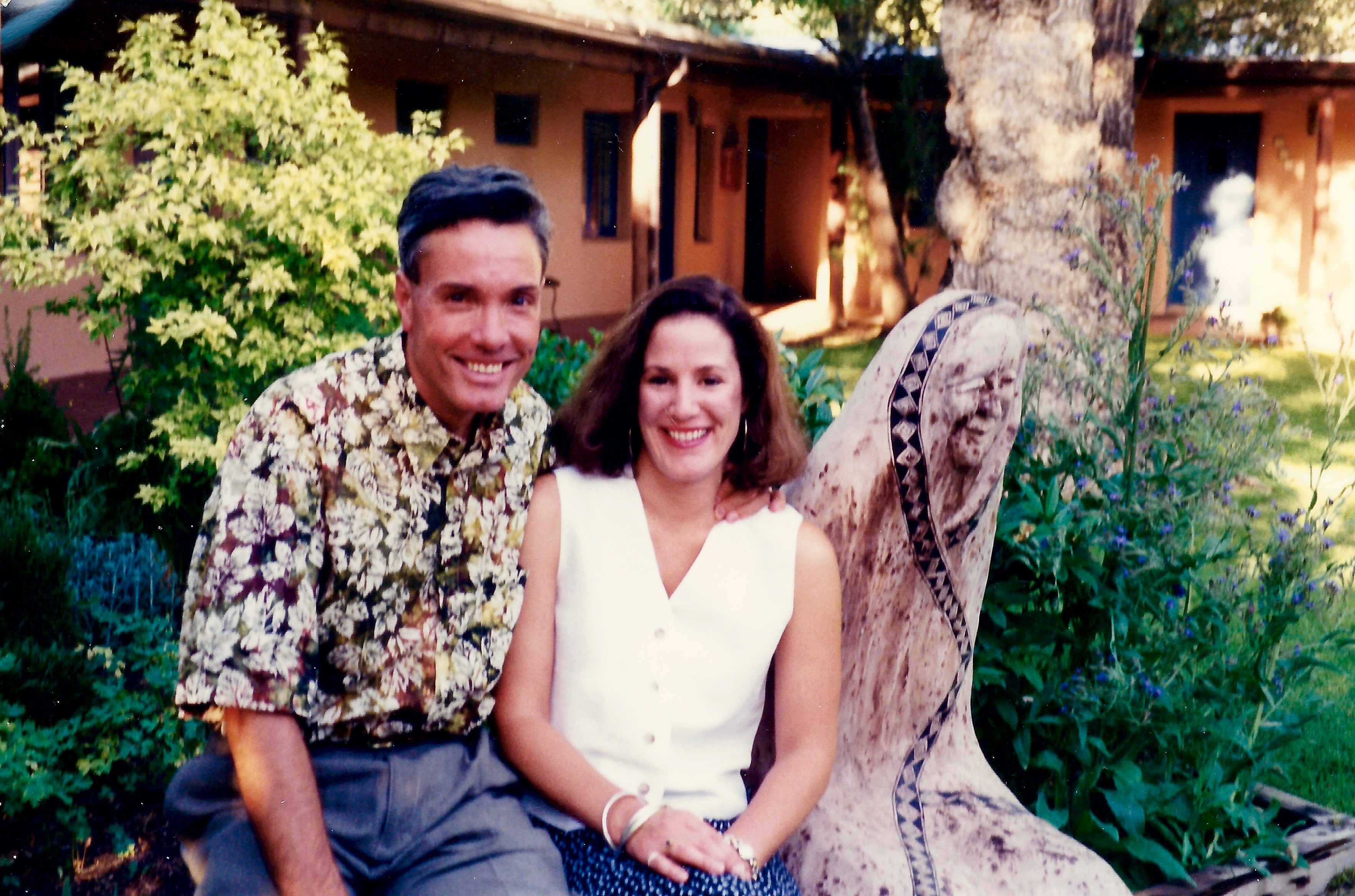
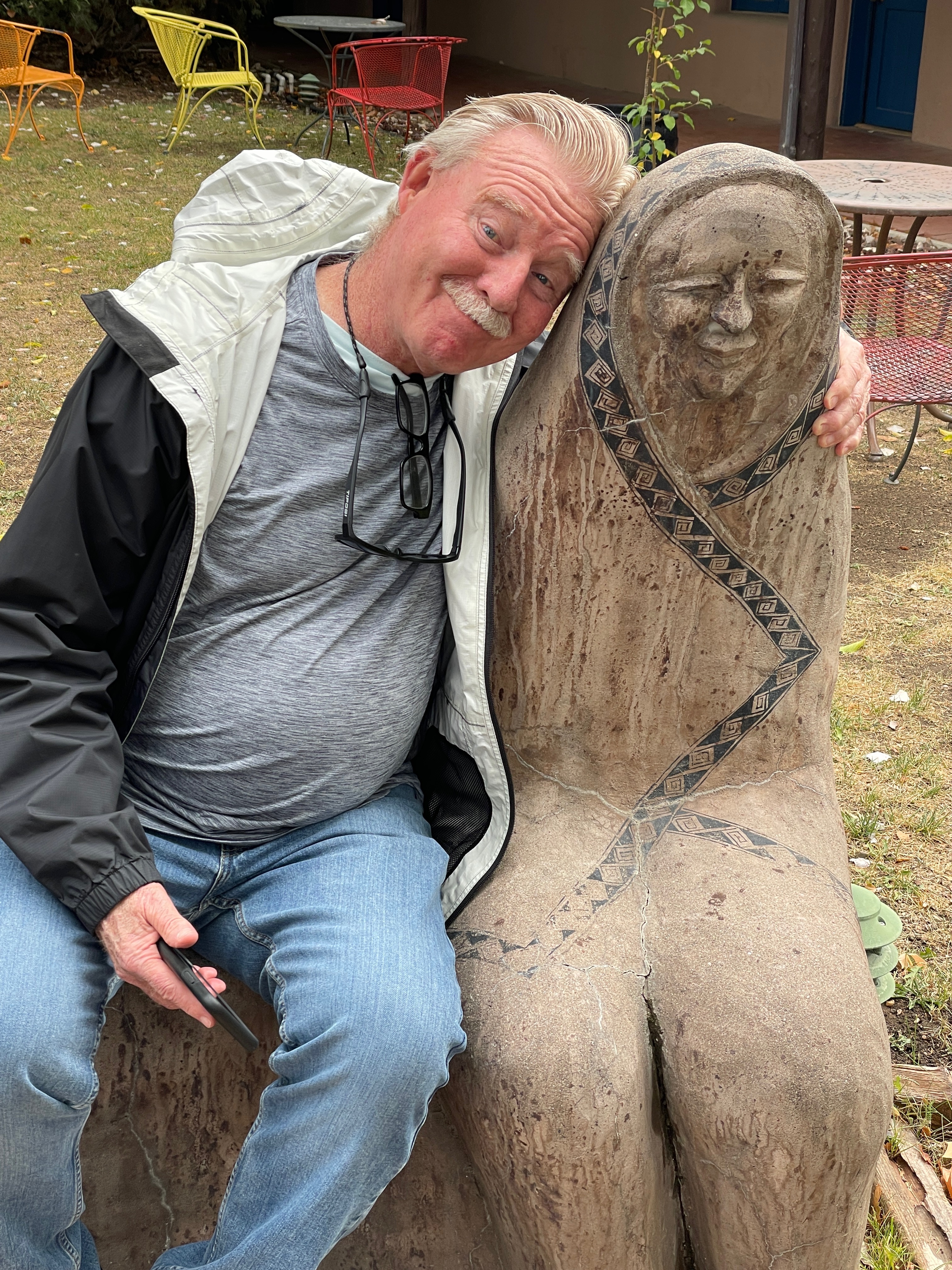
We wasted not a minute before launching into Bob’s personal tour of his new hometown. Well, reclaimed hometown. His lovely wife Suzanne is a native New Mexican (Albuquerque) and both she and Bob attended the University of New Mexico. After a wonderful career in education in California and a brief “retirement” in Ballard, WA, they’ve settled into the ristra lifestyle in a beautiful setting in enchanting Santa Fe. A quick romp around the plaza found us enjoying an early, albeit brief, relaxation, rest, and reflection half-hourwarmup as I reflected on the public statuary saluting my ACD SoBe.
Next up was the el Rey, a classic motor court “motel” built along side of the original Mother Road, Rt-66 opening its doors in 1936 and now an iconic “boho” inn (whatever that means) where my lovely wife and I spent the night on one of our southwestern honeymoon stops some 27 years earlier. No need for a calculator, 1994. I remembered our suite. Okay, it was room.
What was Bob imagining about my previous stay at the el Ray?
As the cocktail hour approached, we hightailed it back to La Hacienda de Delaware where Suzanne had prepared a delightfully savory Classic New Mexican Green Chili Stew. The recipe was from her mother’s Classic New MexicanRecipes. The remainder of the evening was devoted to relaxation, rehydration, and reflection and enchanting conversation. We were, after all, in the land of enchantment…
Un guiso deliciosamente sabroso!
Day 6 Santa Fe Layover
The next day we arose to yet more inclement weather. That wasn’t going to deter Bob from chauffeuring us along the the High Road to Taos, a most scenic byway. We enjoyed this authentic remnant of Old Spain, still evident in the religion, architecture, topography, history, and people along the real. The byway travels through Chimayo, a community known for the beautiful Santuario de Chimayo, a national historic landmark, and the El Posito, a hole in the floor of a side chapel filled with healing earth. Along NM-76, the byway follows the terrain; the creased and wrinkled badlands populated with scrubby pinon and juniper, with the Jemez Mountains enormous on the horizon if it wasn’t for the clouds.
Nestled in the village of Chimayo along the High Road to Taos sits a national historic landmark, El Santuario de Chimayo. Every Good Friday, tens of thousands of pilgrims make their way to this “Lourdes of the Southwest.”
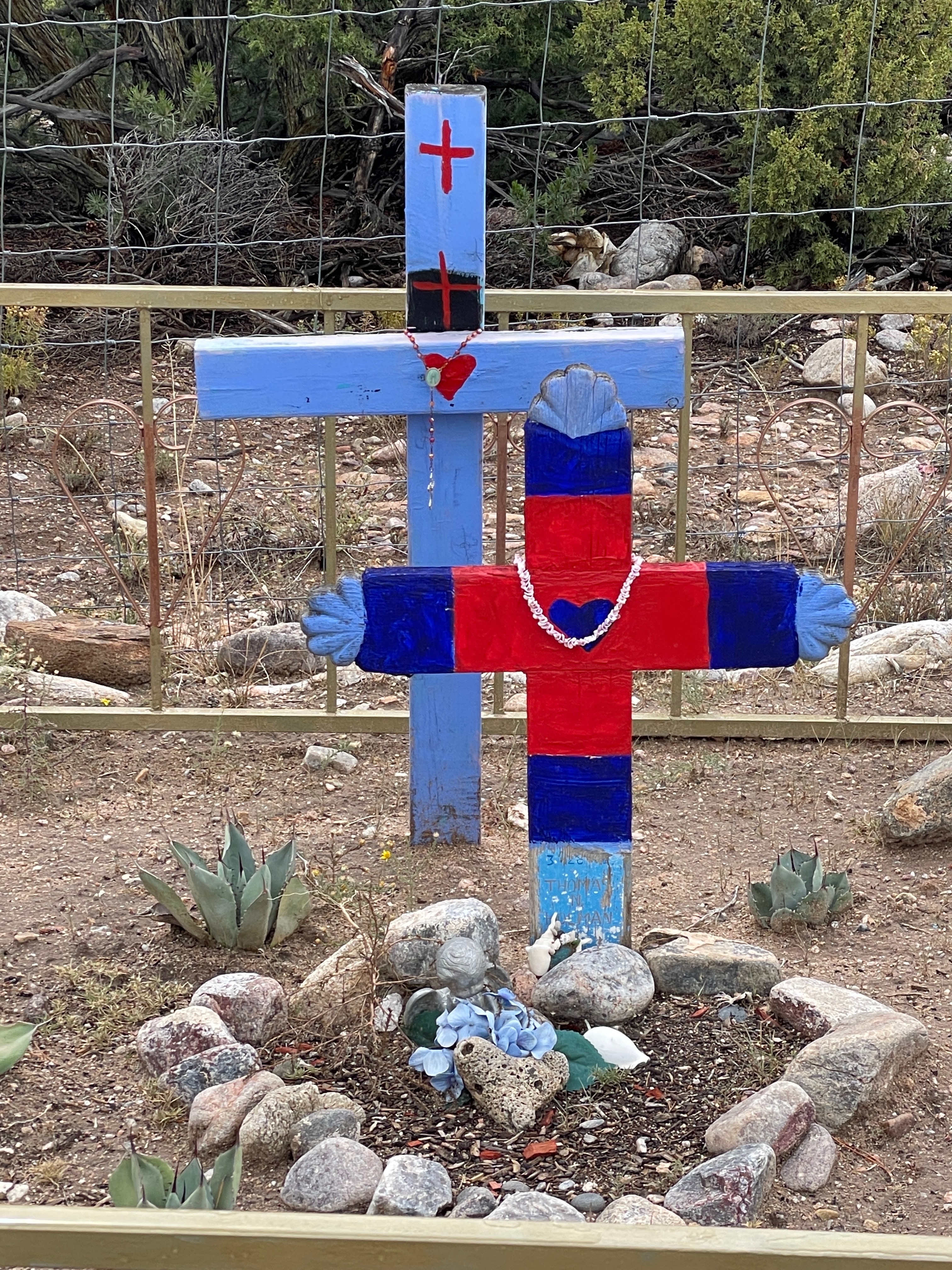
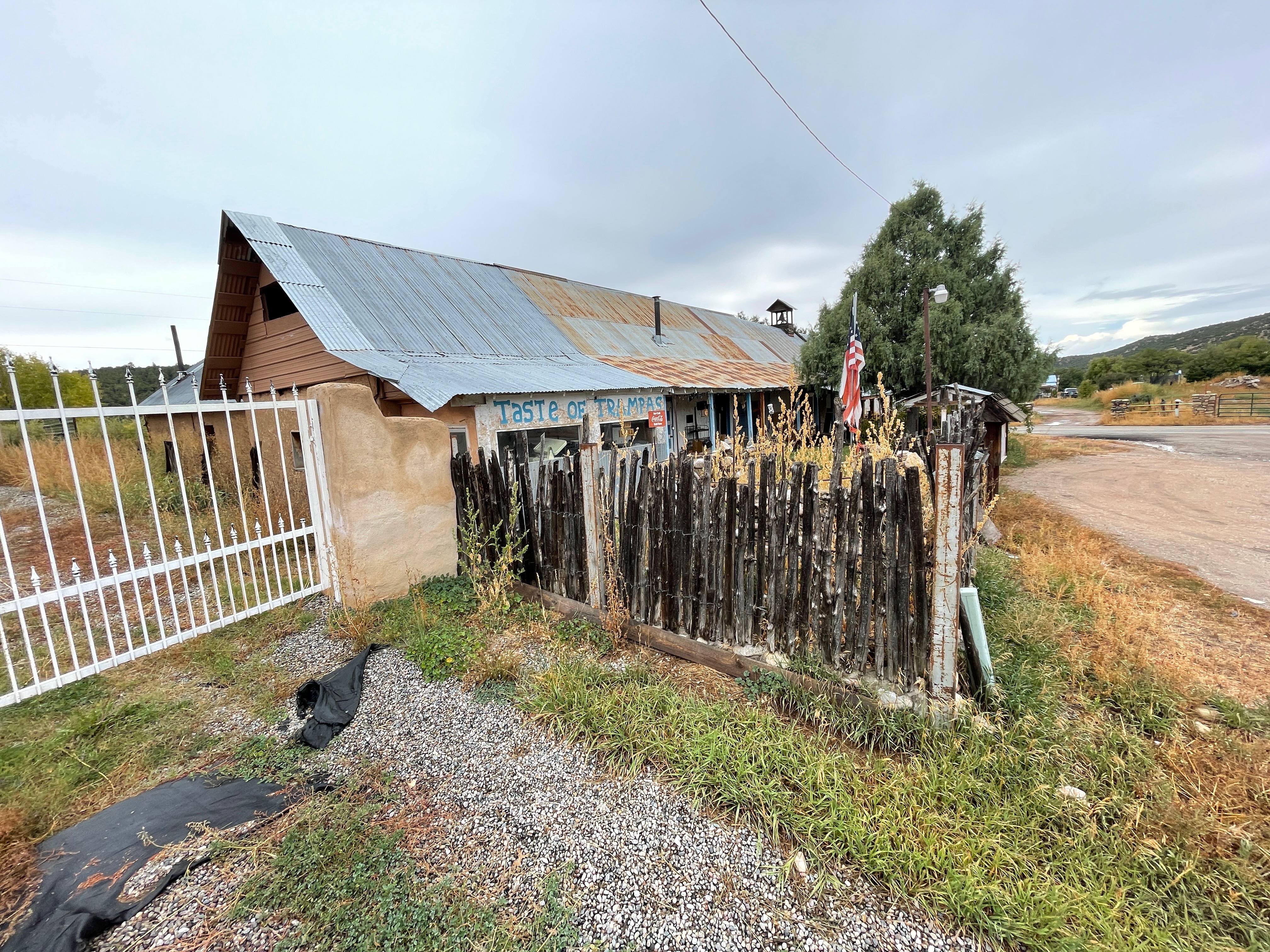
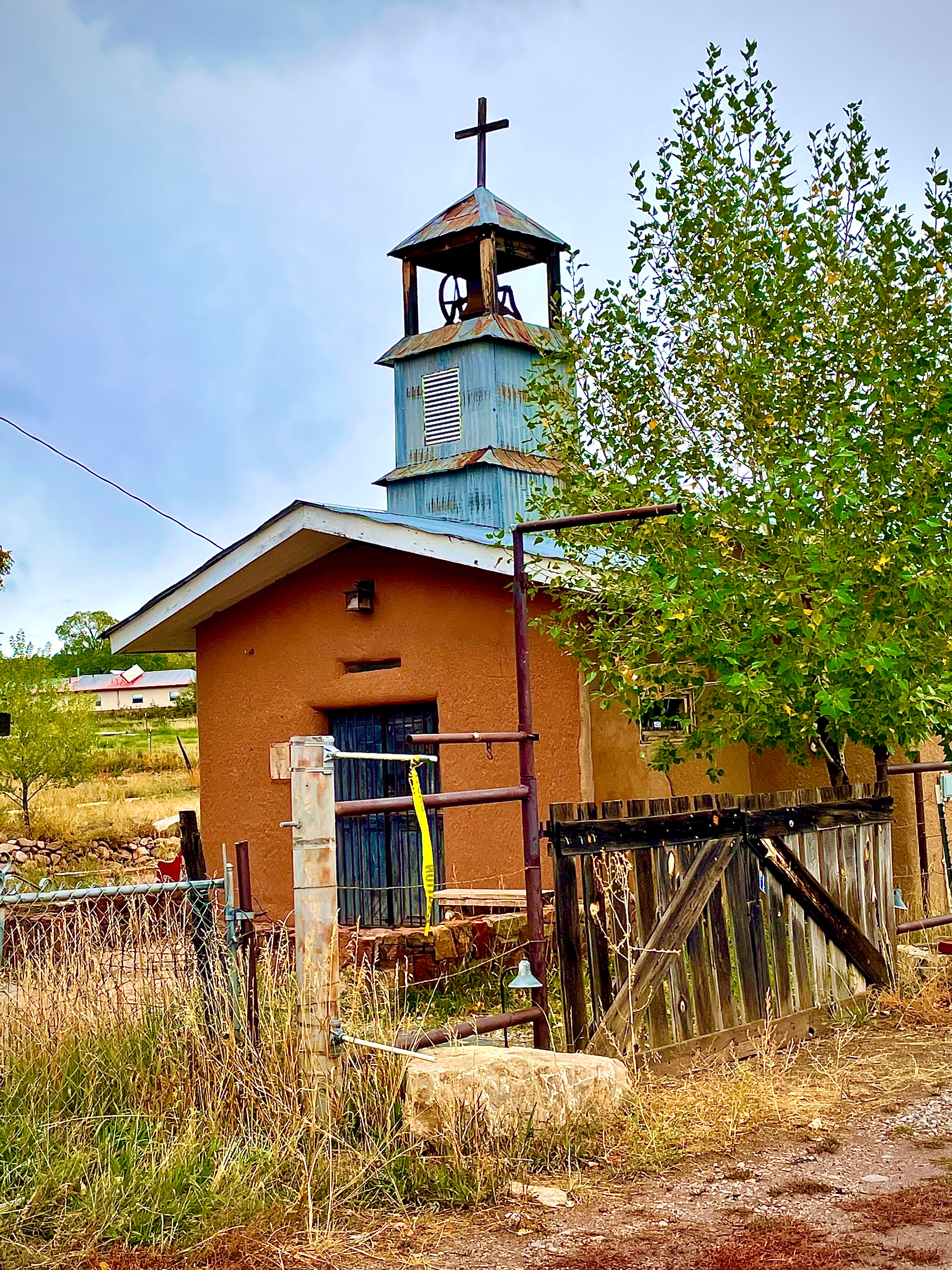
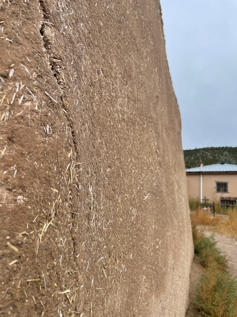
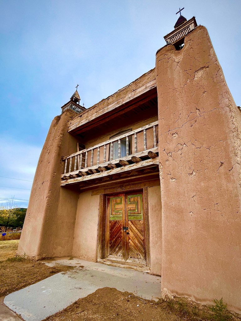
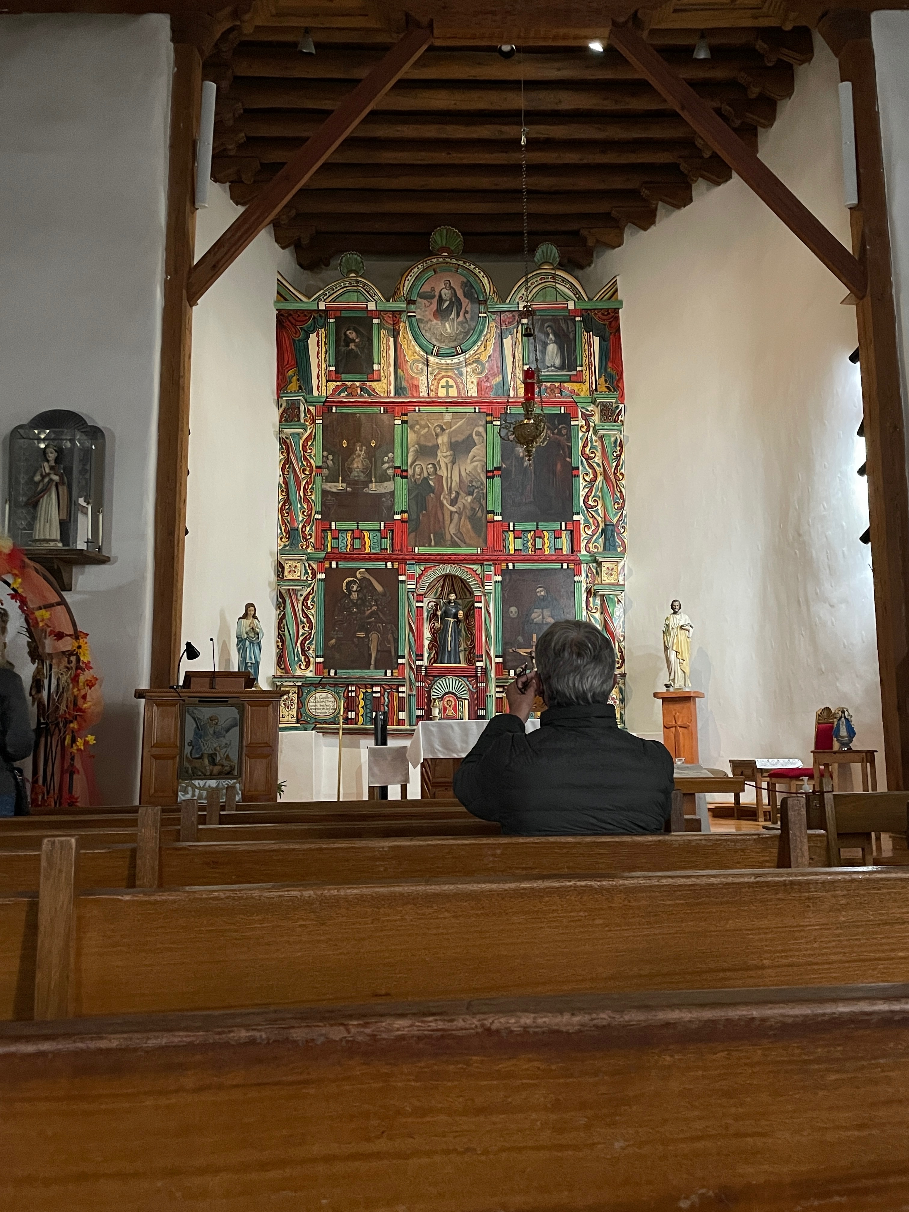
Next up was the San José de Gracia Church in the village of Las Trampas. First settled by 12 Spanish families in 1751, the village of Las Trampas was originally built within a defensive wall with low buildings packed around a central plaza. The tight-knit traditional community flourished for hundreds of years, developing and retaining a culture little influenced by the outside world. Within the village is the San José de Gracia Church, one of the most-original and best-preserved examples of Spanish Colonial architecture in New Mexico.
San José de Gracia Church in the village of Las Trampas
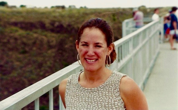
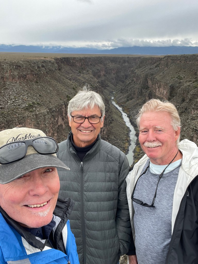
It was then on to the bridge across Rio Grande Gorge next where it’s not for the faint of heart to peer over the rail some 600 feet to the river below. It was a tad unnerving to feel the bridge vibrate with the passing vehicles, especially the tractor-trailer rigs.
Rio Grande GorgeBeauty (1994) and the beasts (2021)… Same bridge.
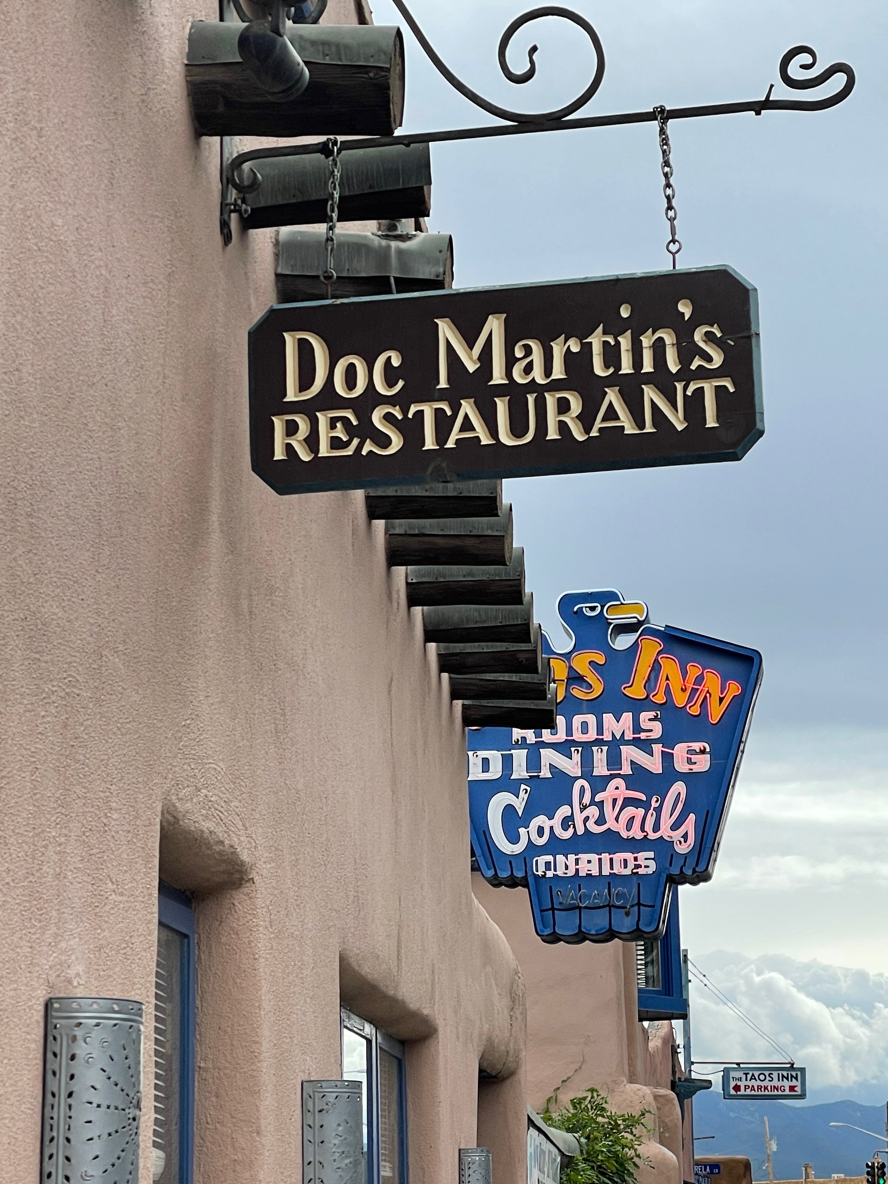
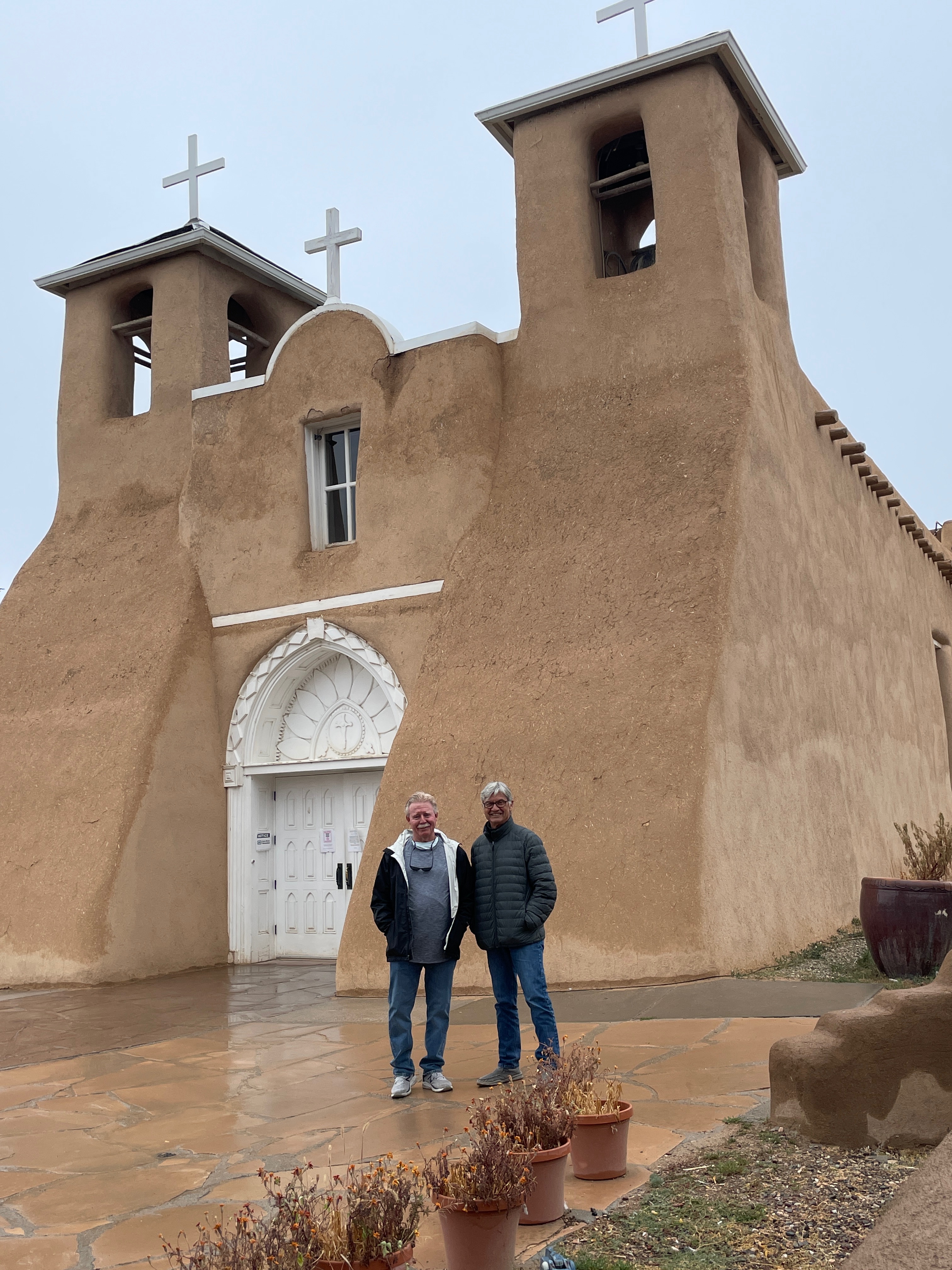
After a walkabout in Taos to visit another stop on the Honeymoon Tour at the Taos Inn we made our way to Ranchos de Taos and the San Francisco de Assisi Mission Church.
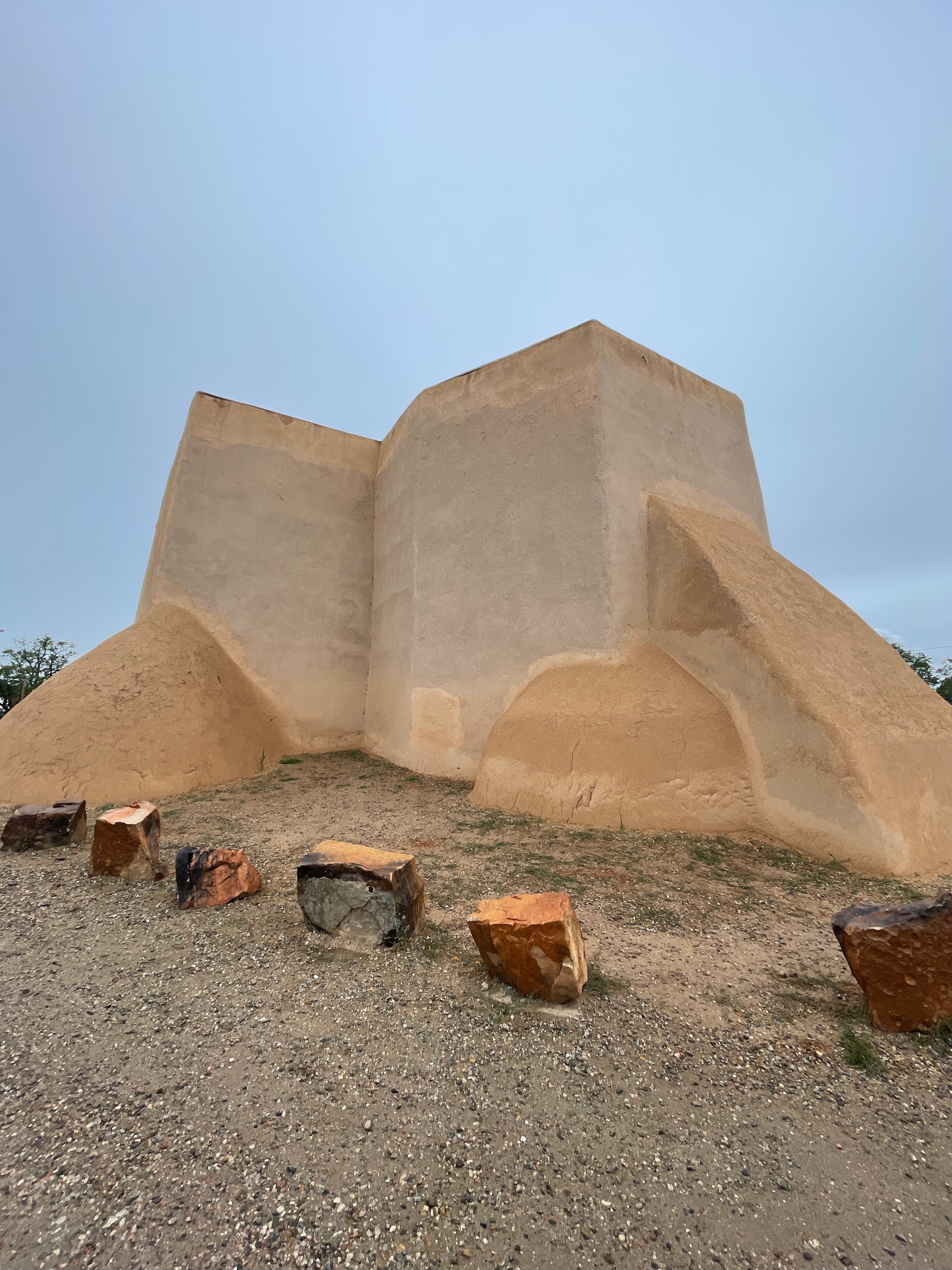
Completed in 1816, the San Francisco de Assisi Mission Church is a large, sculpted Spanish Colonial church with massive adobe buttresses and two front-facing bell towers. Because of its imposing form and sculpted body, the church is a favorite subject for artists. Ansel Adams photographed the church for his Taos Pueblo art book and Georgia O’Keeffe painted a series of perspectives of the church. O’Keeffe once described it as “one of the most beautiful buildings left in the United States by the early Spaniards.” In most works, these artists favored the view of the back of the church, with its smoothly sculpted adobe beehive buttresses. The beautiful colonial-era church continues to attract artists and the Ranchos de Taos plaza is home to several galleries.
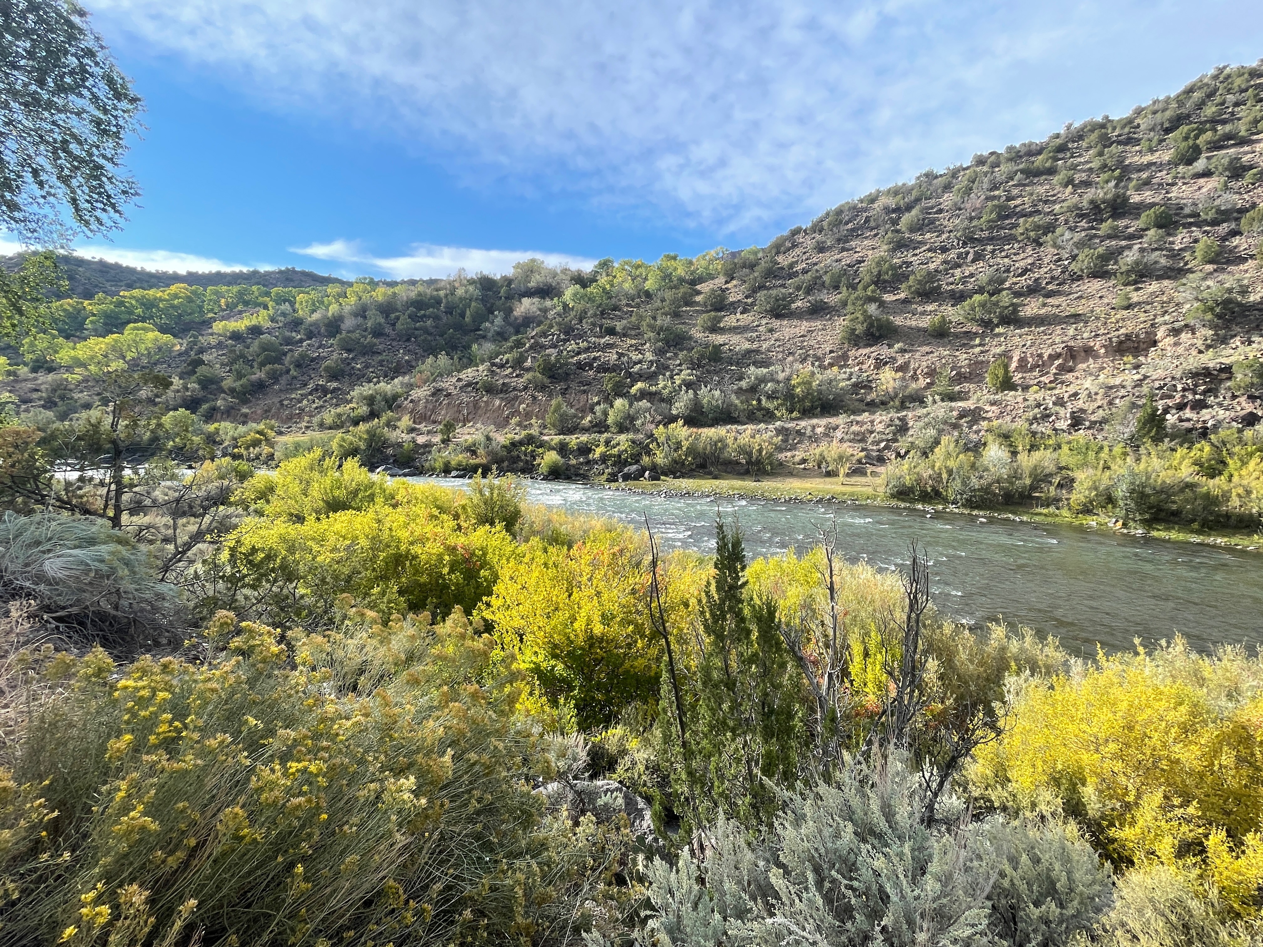
The afternoon found us making our way back to the Delaware Hacienda along NM-68 and the Rio Grande but not before spying Camel Rock.
The next morning we would begin our return leg home having enjoyed the generous hospitality of our hosts, Bob and Suzanne. I’m embarrassed to admit I didn’t photograph Suzanne during our stay. So, I stole one from FB.
Thanks beautiful!
Stay tuned for Part 2: Homeward Bound, Santa Fe to Merced!
From 2018 Pete on his Bonny joins Tom on the Kawasexy.
Somehow lost in the quanta of physics, the ether of the interwebs, or my incompetence at blogging on WordPress, I originally posted this as a “page” intending that it join its brethren in those vignettes found in my “posts”.
Since I barely understand how navigation on my site works, I thought that linking the page to my posts would patch my bungle. Please enjoy…